By Karen Rubin, Eric Leiberman, David Leiberman & Laini Miranda
Travel Features Syndicate, goingplacesfarandnear.com
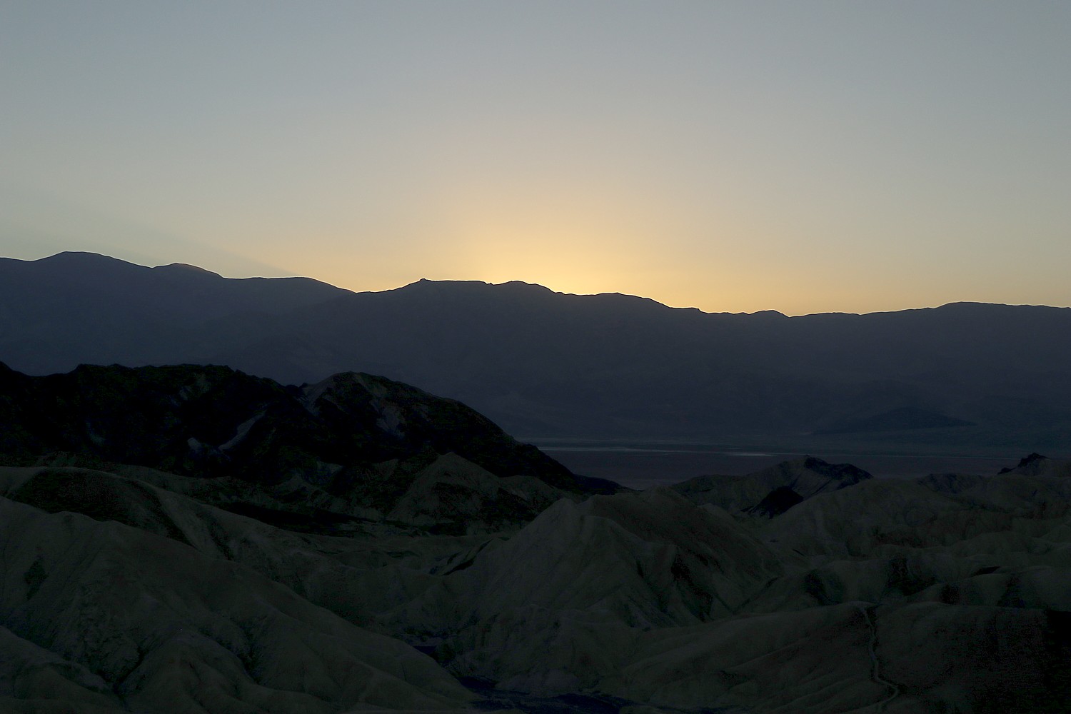
We set out on the second full day in Yellowstone National Park to see its climatic attraction with the dramatic name that seems to come out of the 19th century: The Grand Prismatic. Indeed, it was named by geologists in 1871 for its striking coloration, mimicking the colors created by a prism dispersing white light into red, orange, yellow, green, and blue.
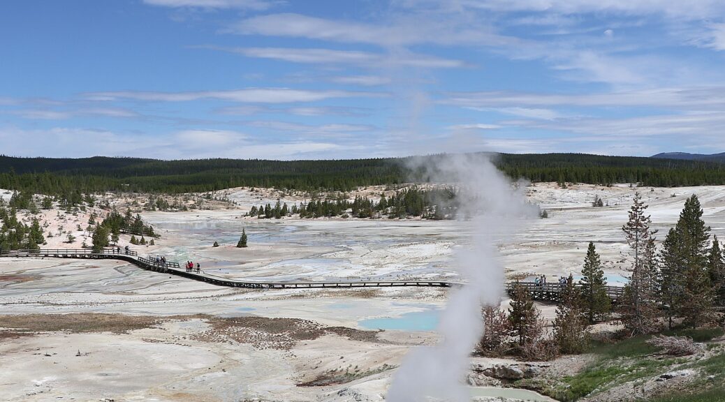
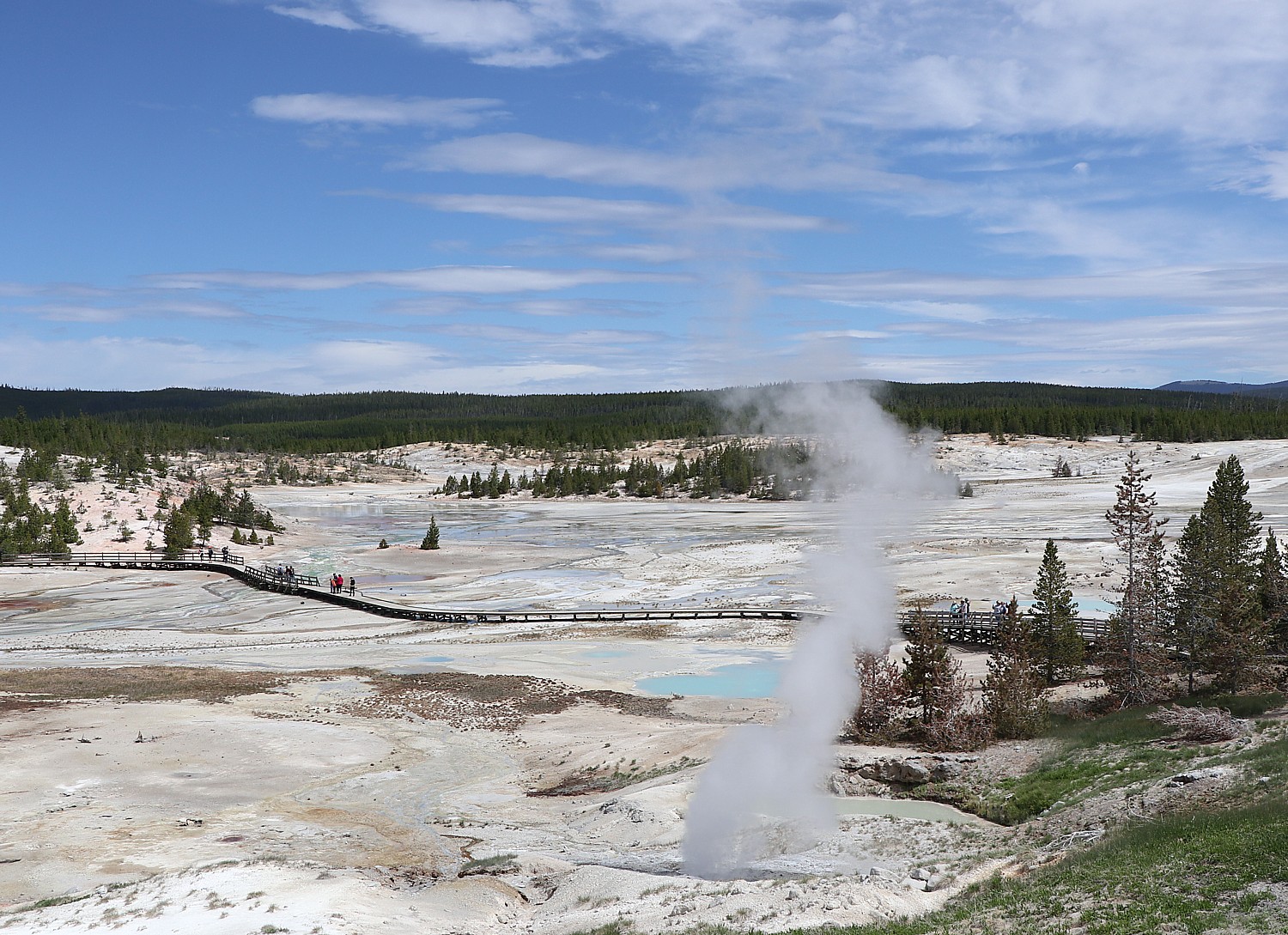
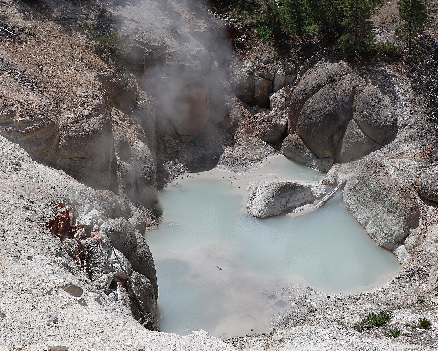
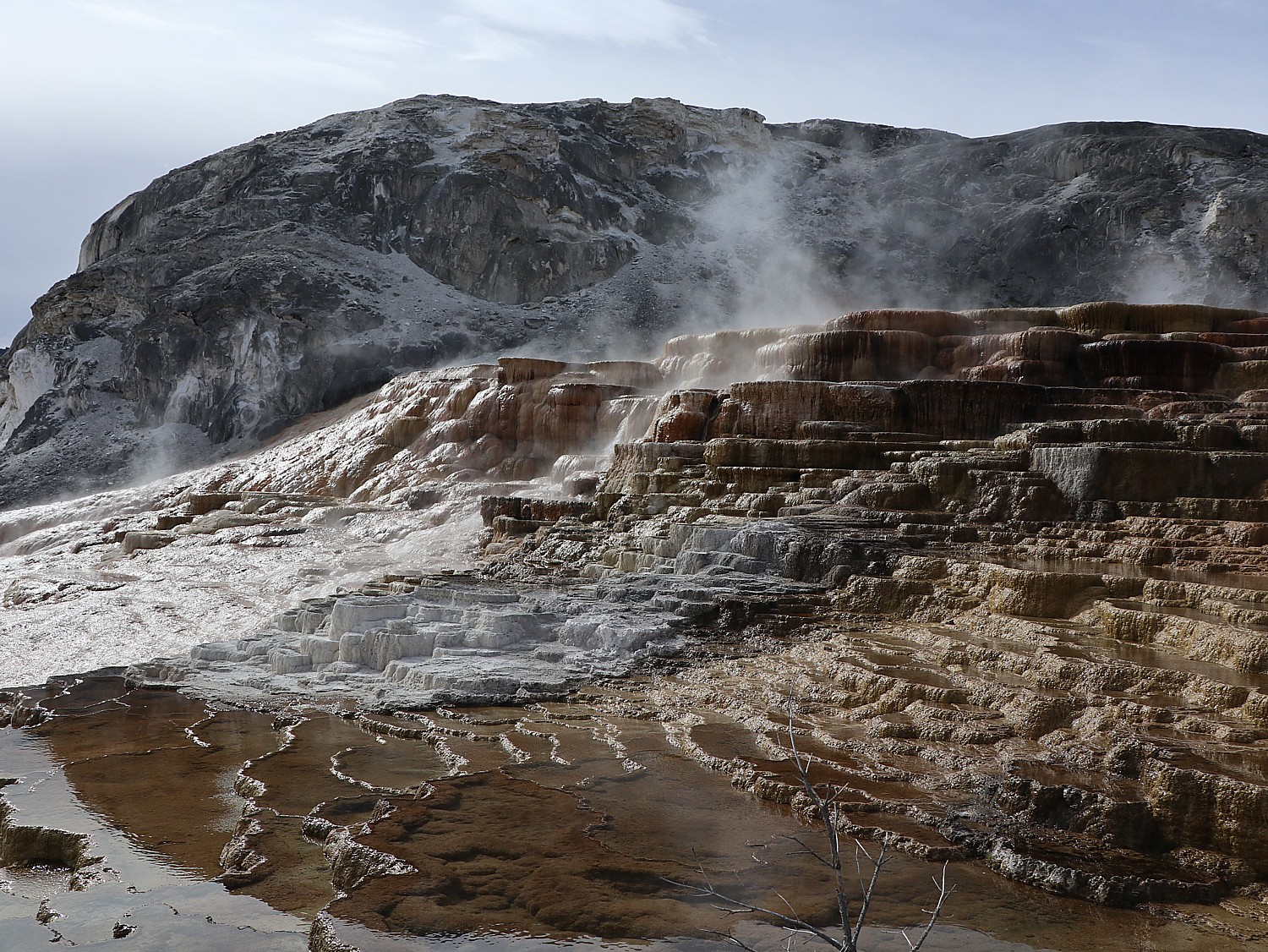
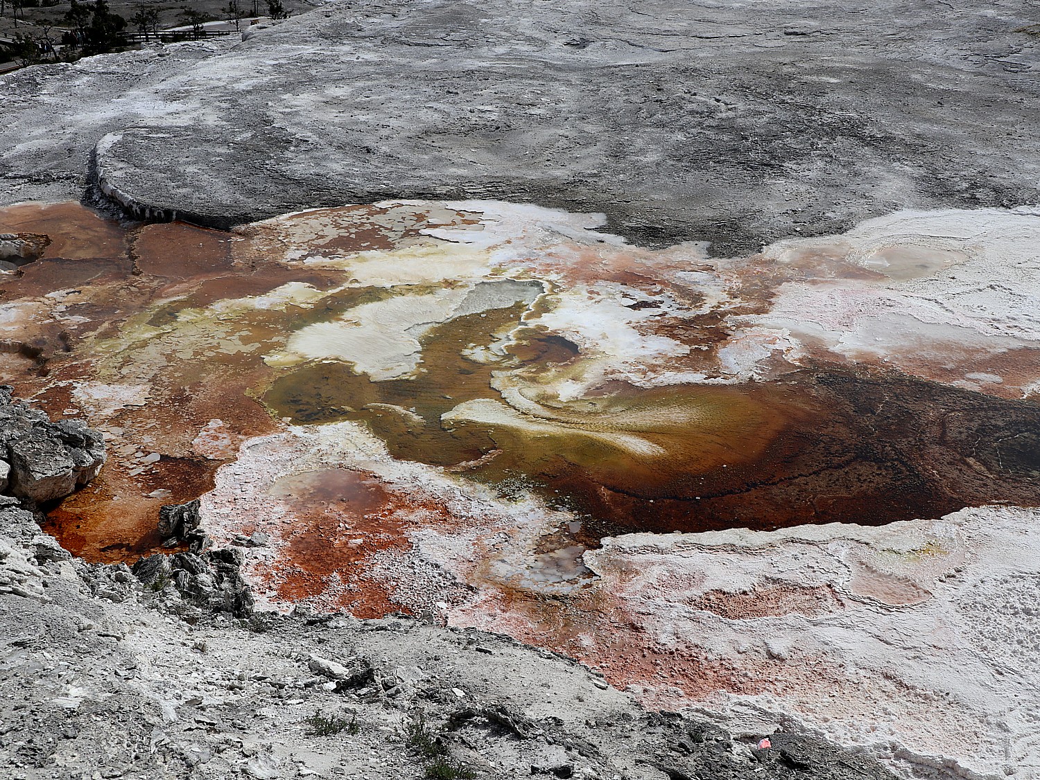
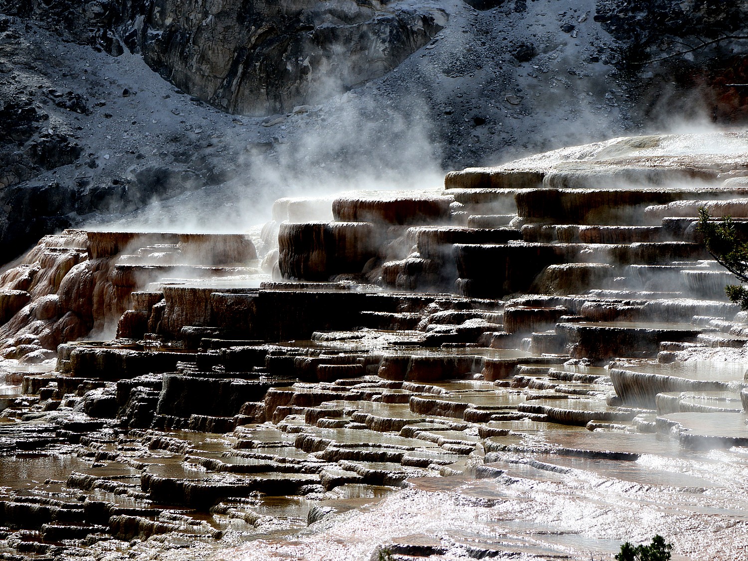
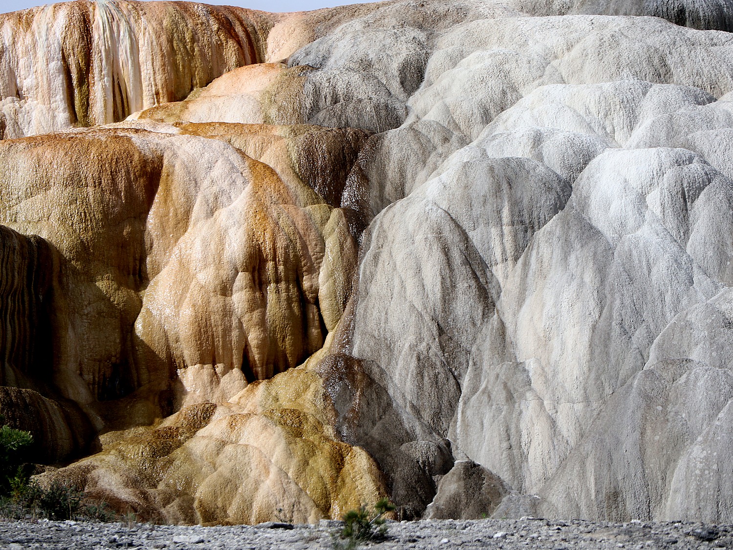
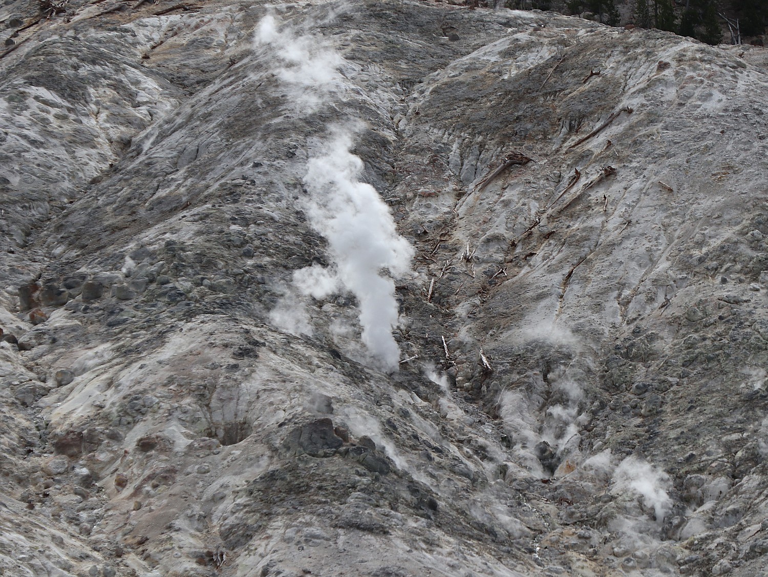
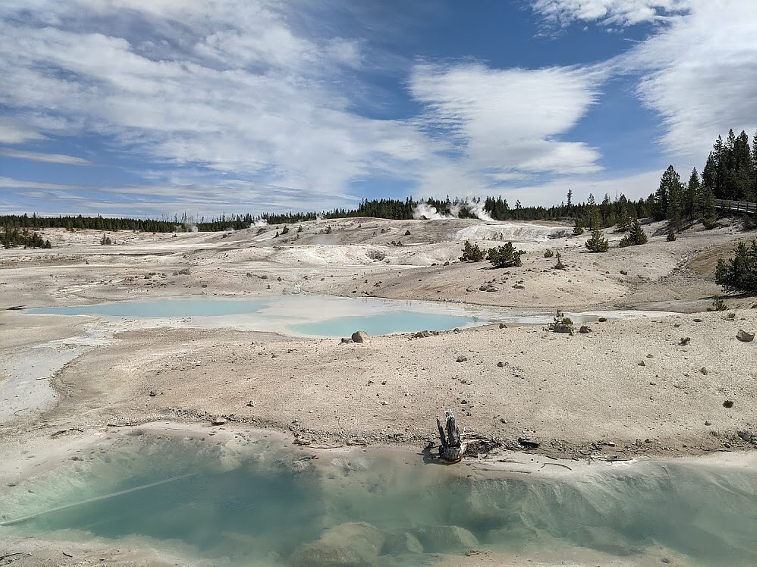
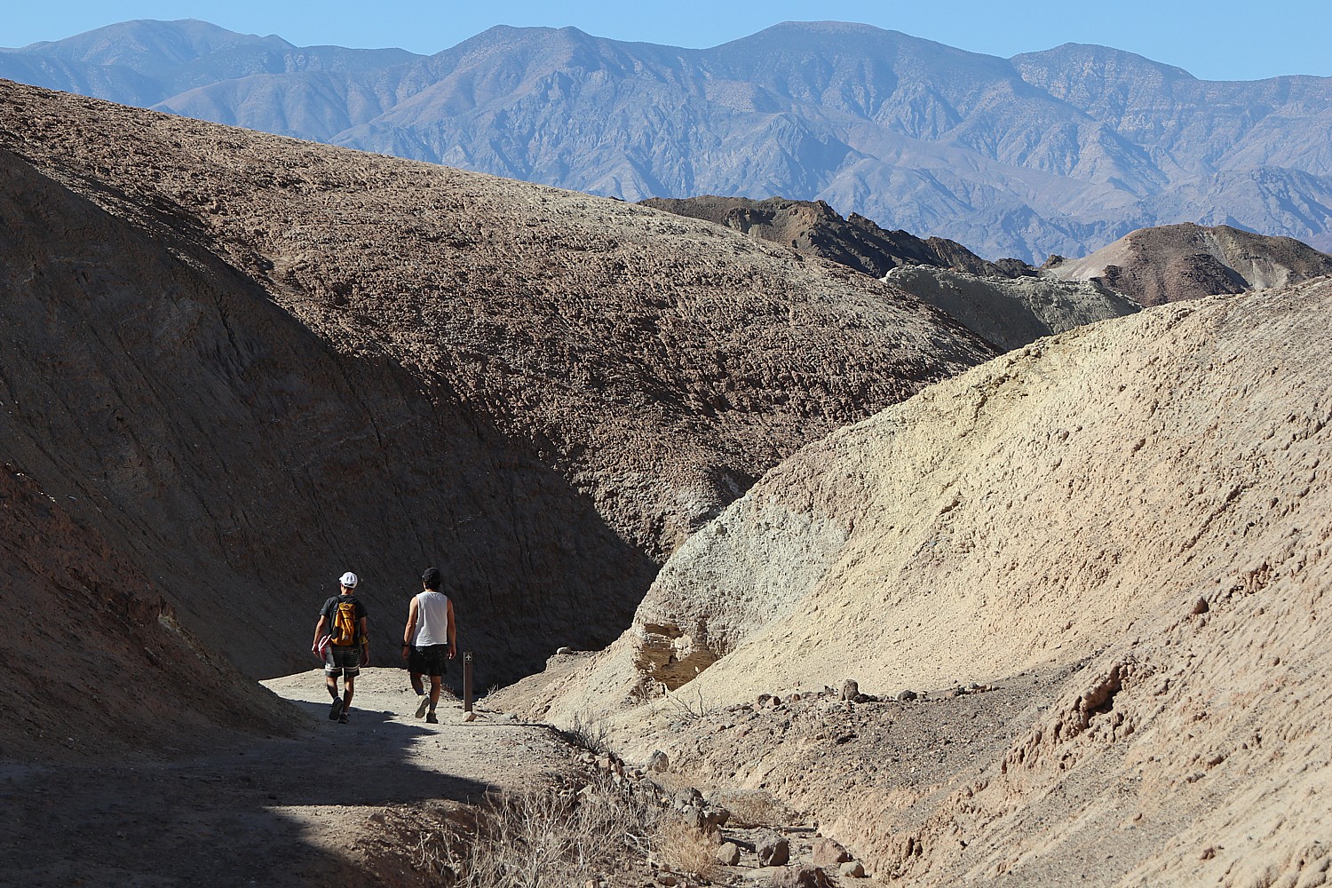
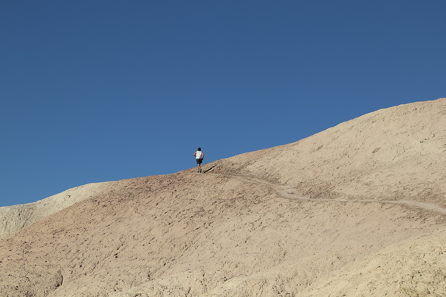
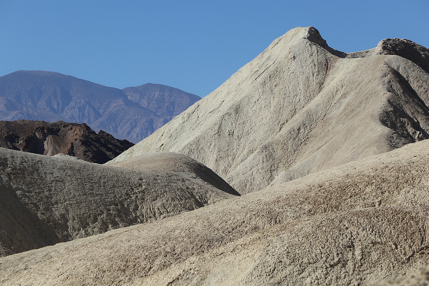
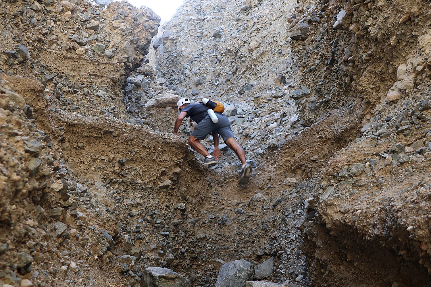
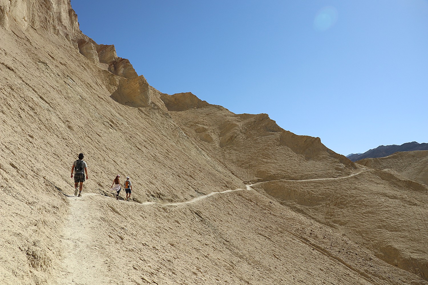
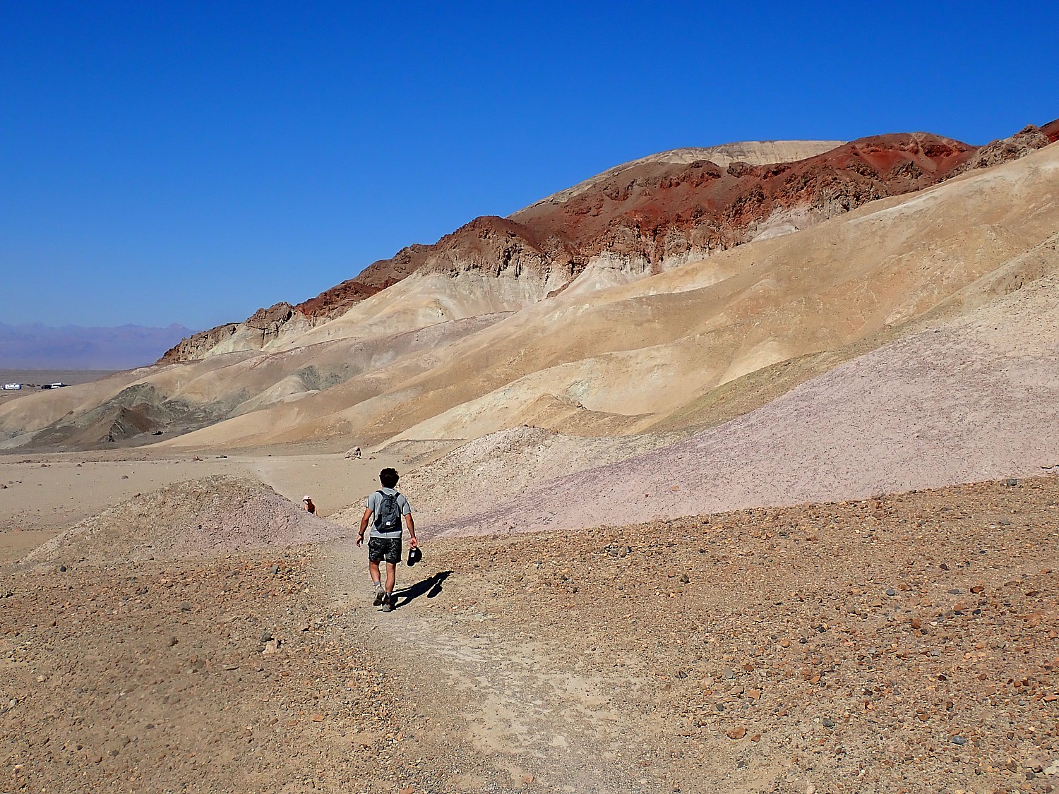
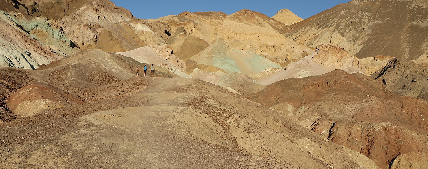
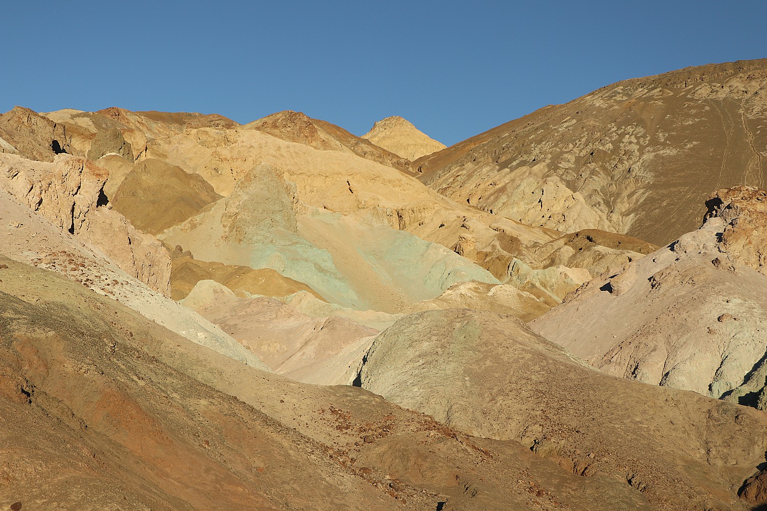
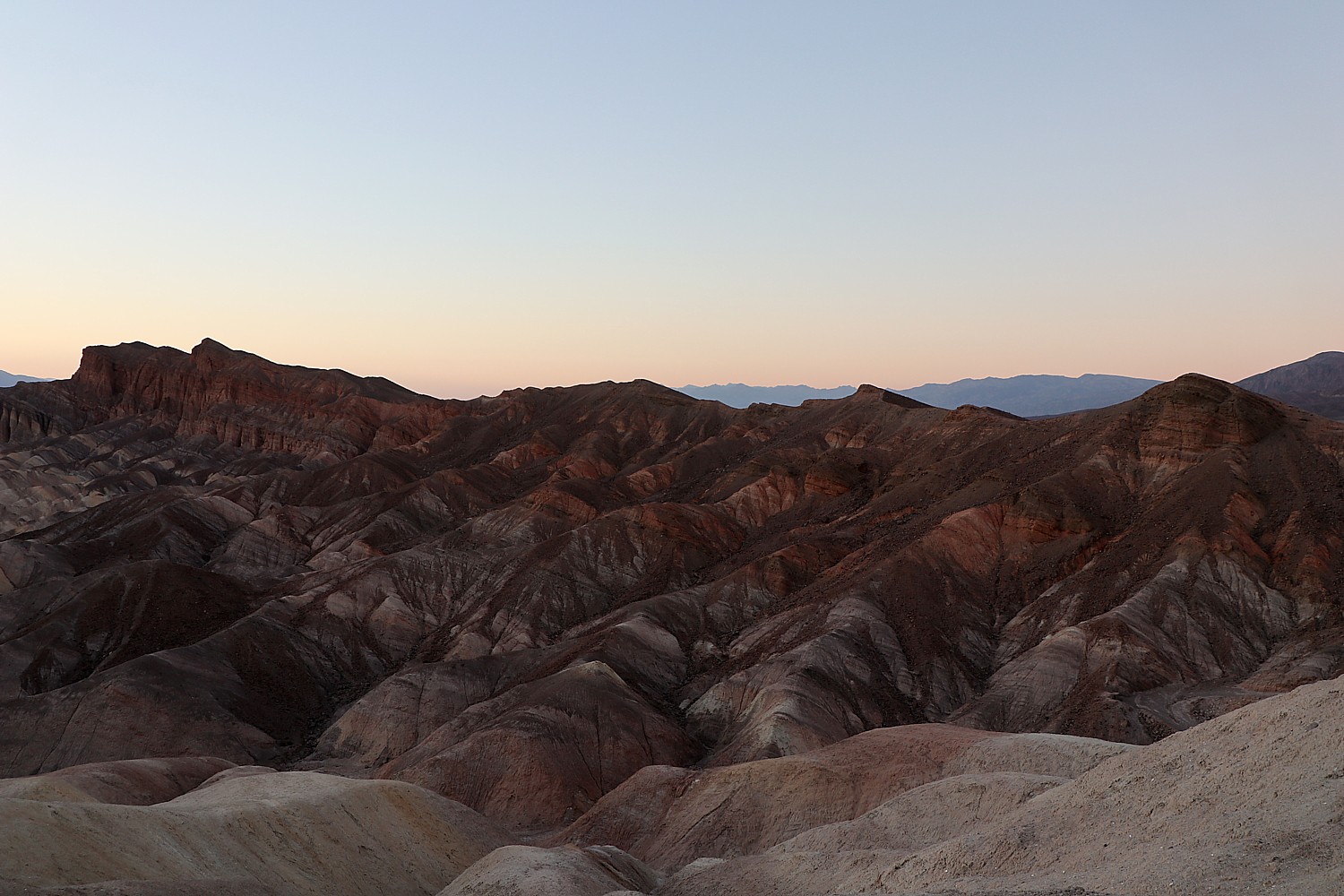
But though we are in a hurry to get to the Grand Prismatic as early as possible (because of the anticipated crowds), en route, we stop off at another site with the intriguing name, Artist Paint Pots. To be candid, after the spectacular sights of our first day in Yellowstone (Mammoth Hot Spring, Norris Geyser, Grand Canyon of Yellowstone), this place was a bit underwhelming, but you get close to puckering bursts of bubbling goo, spots of color that look a little like boiling paint, and little spits of steam, which Laini dubs “random boiling earth.”

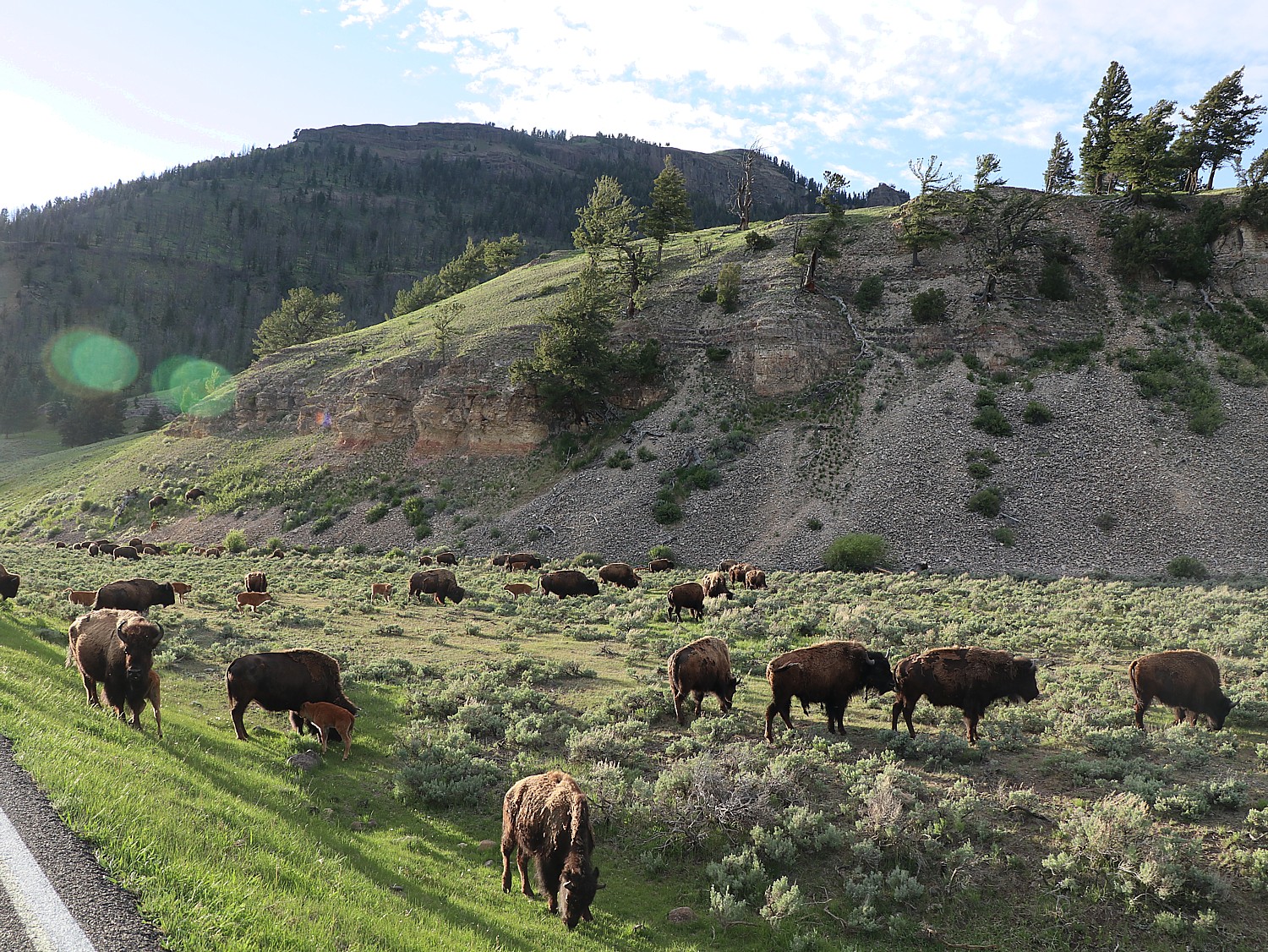
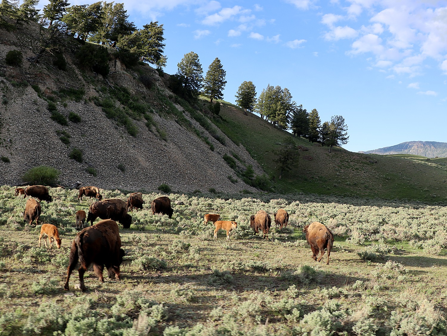
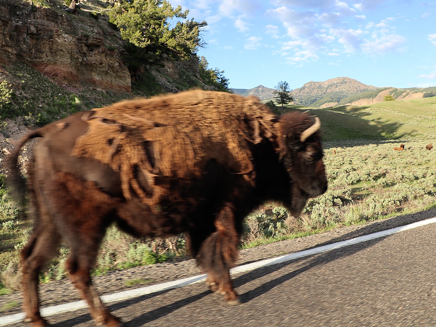
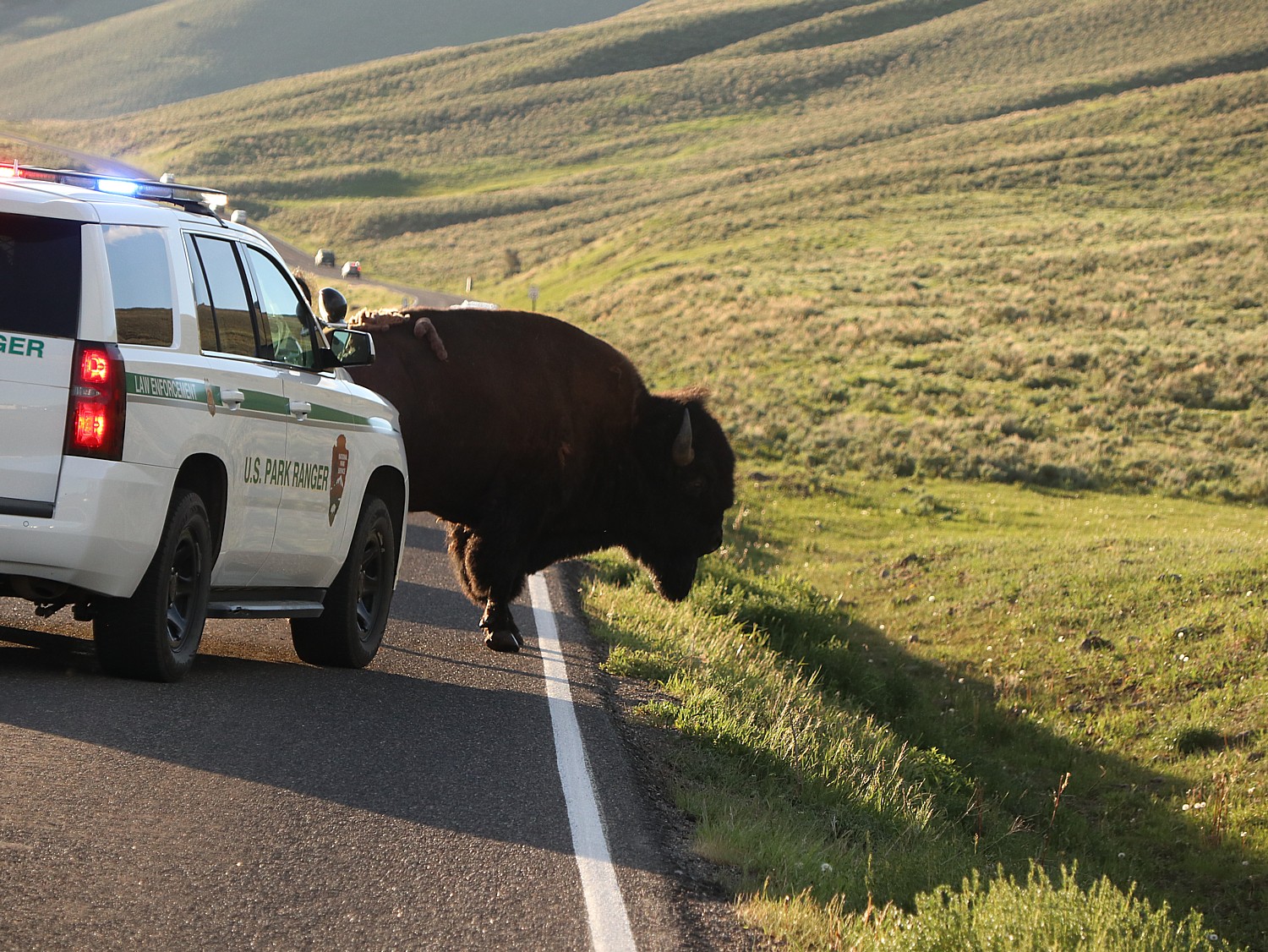
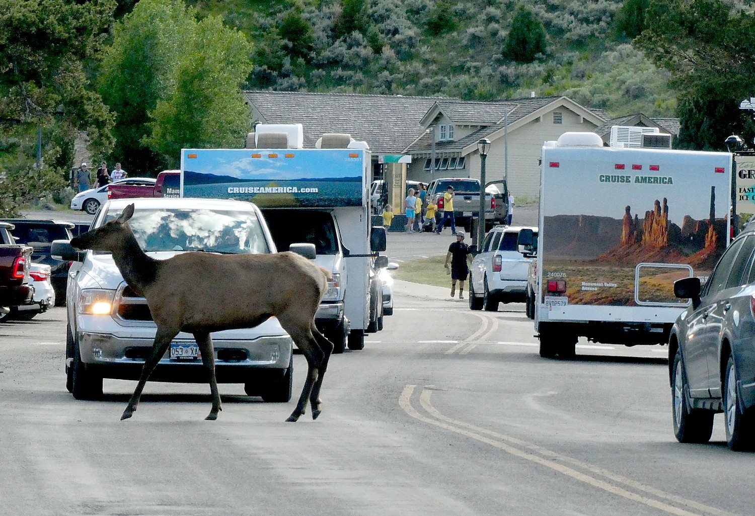
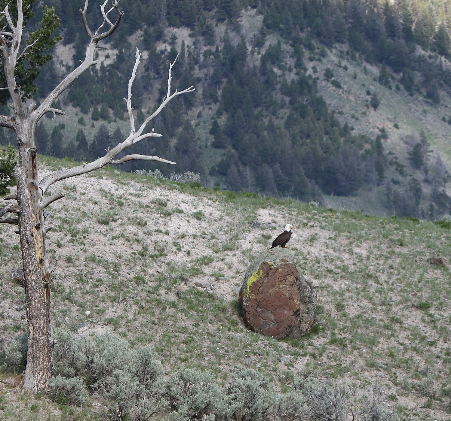
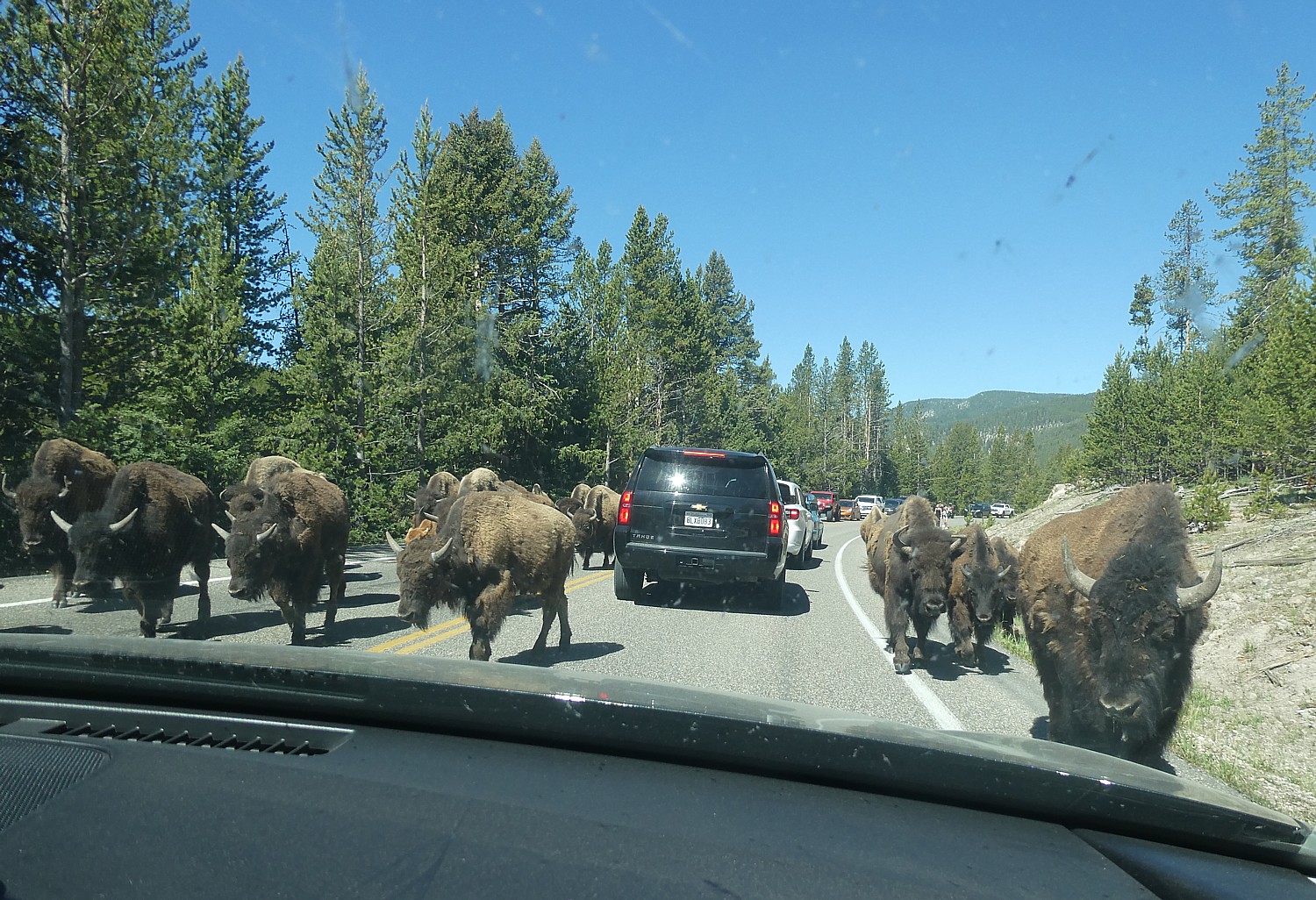
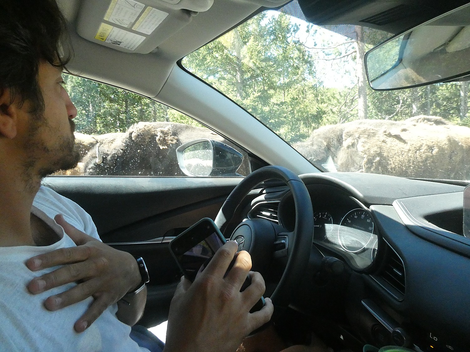
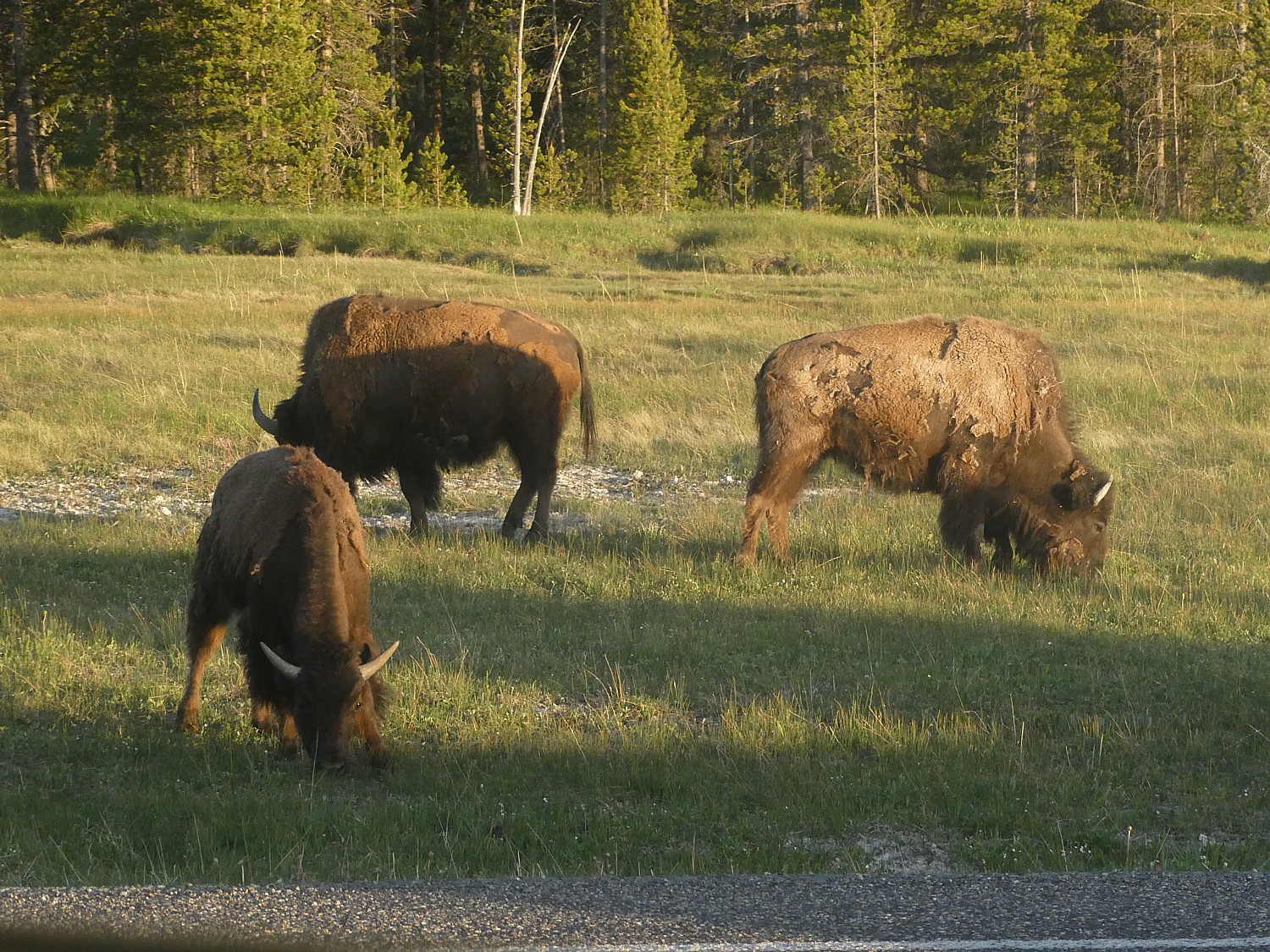
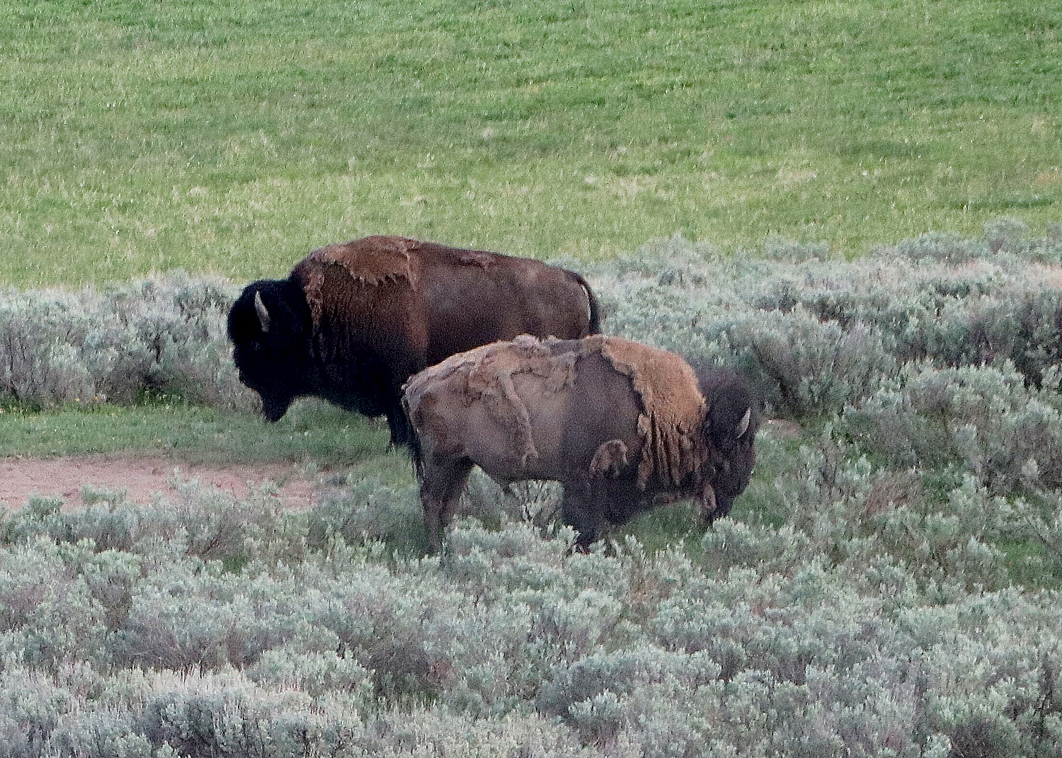
We also encounter a herd of bison on the road.
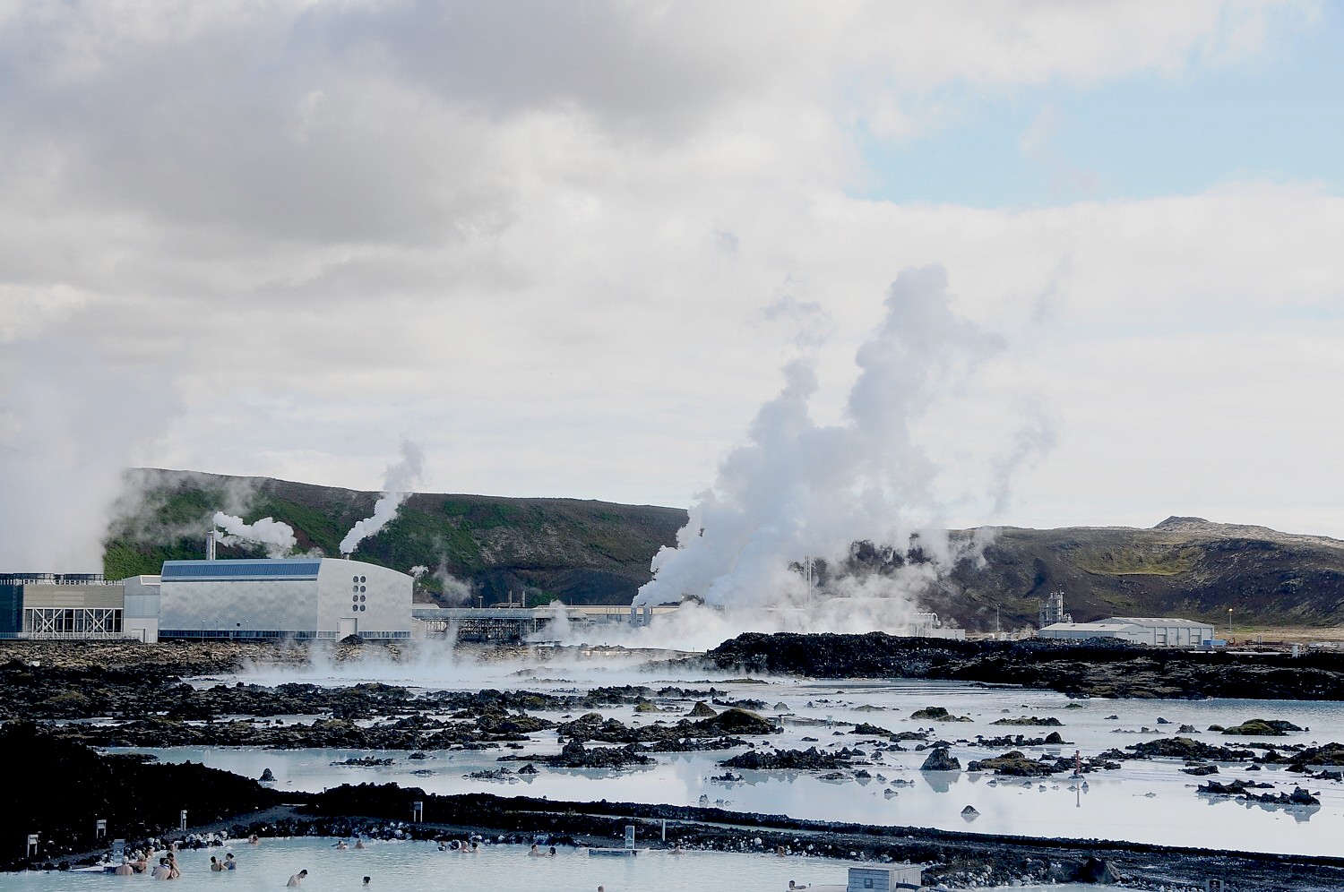
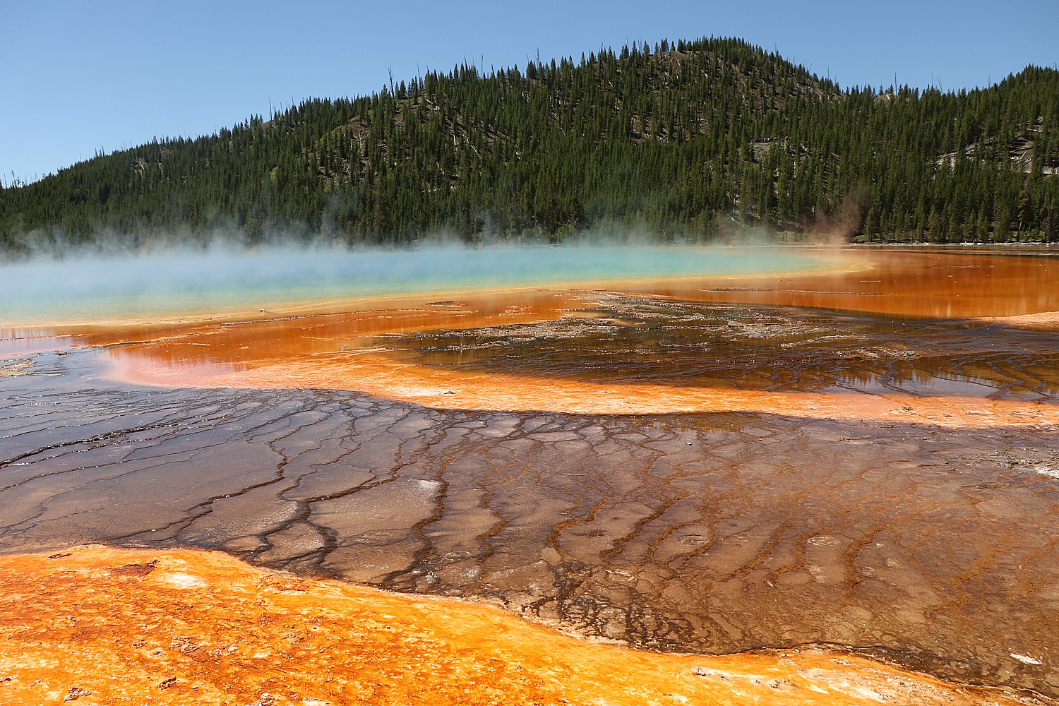
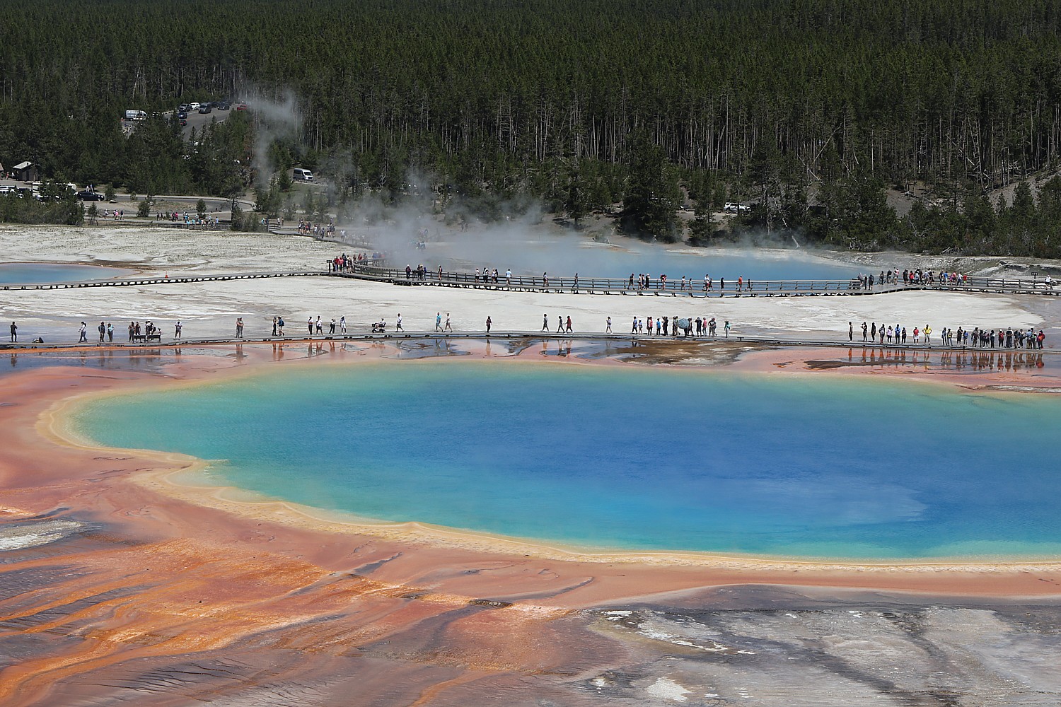
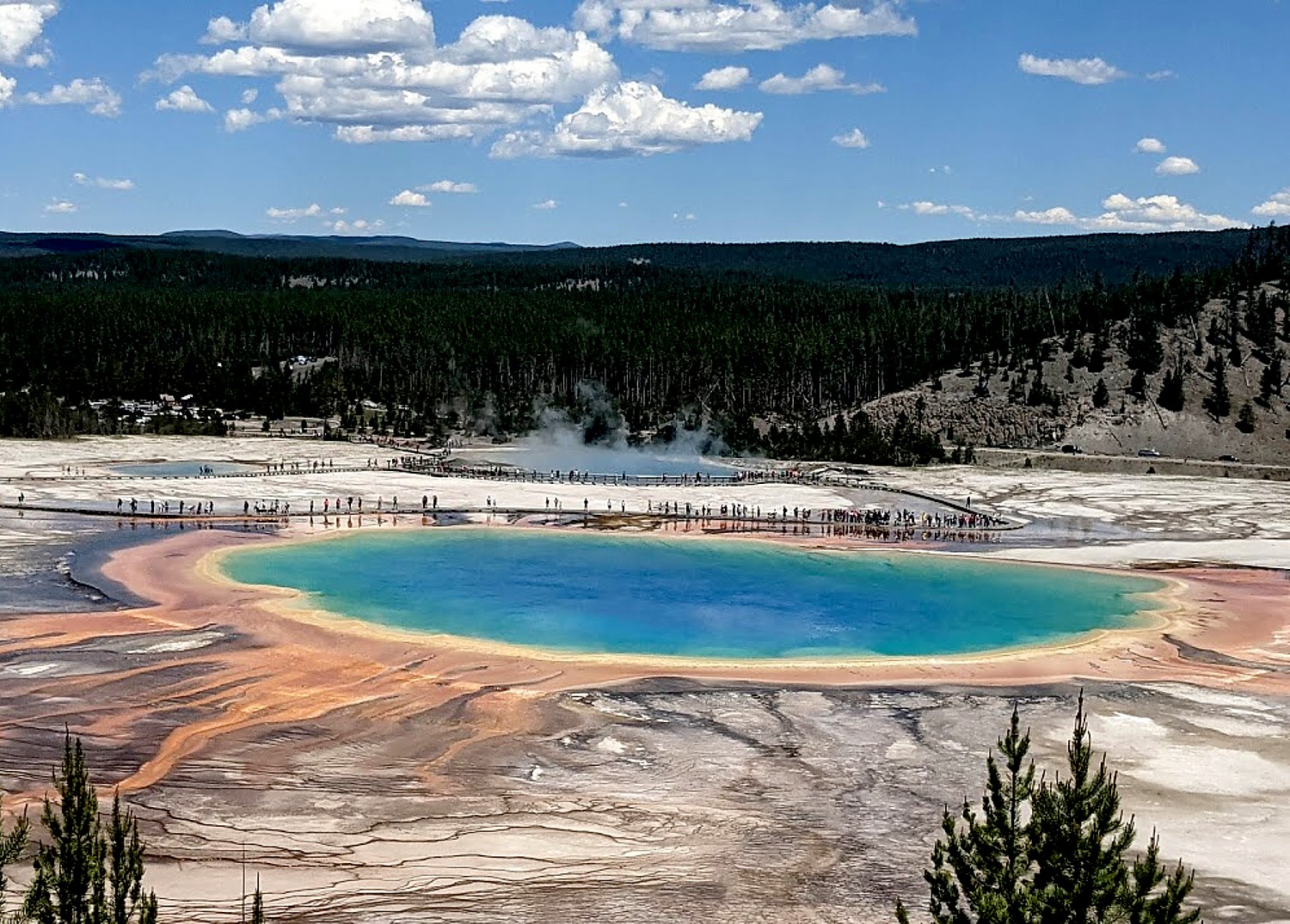
Grand Prismatic Hot Spring
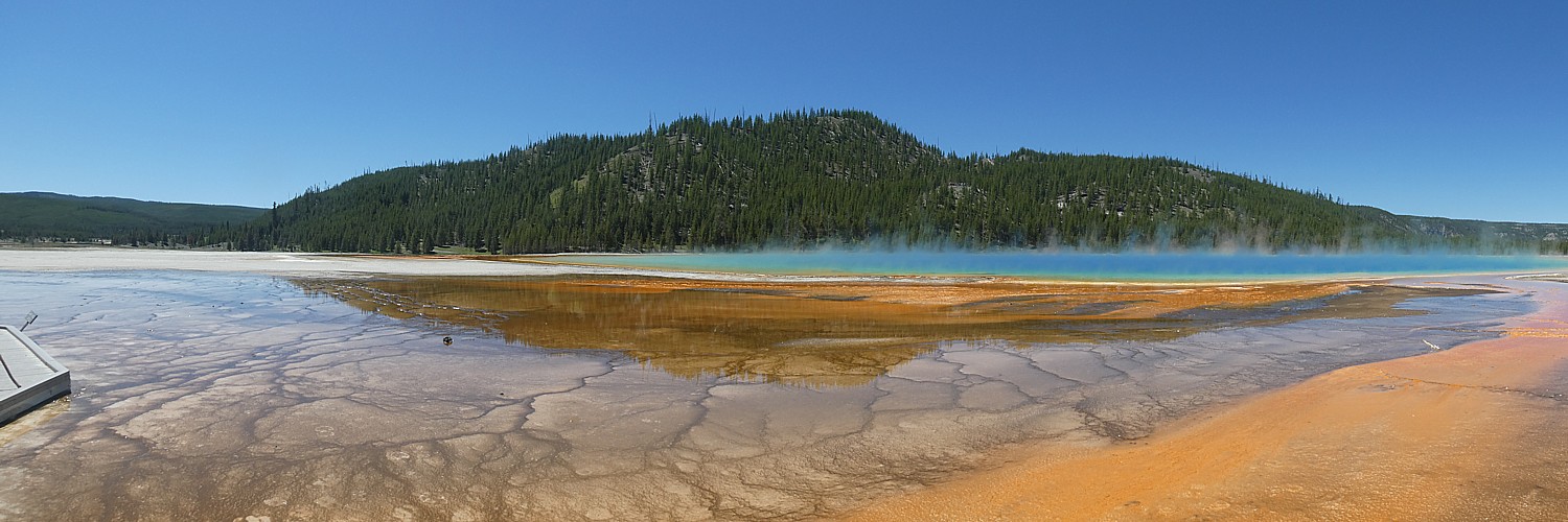
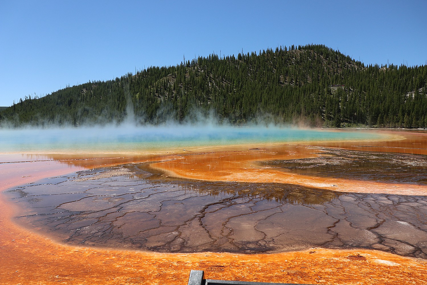
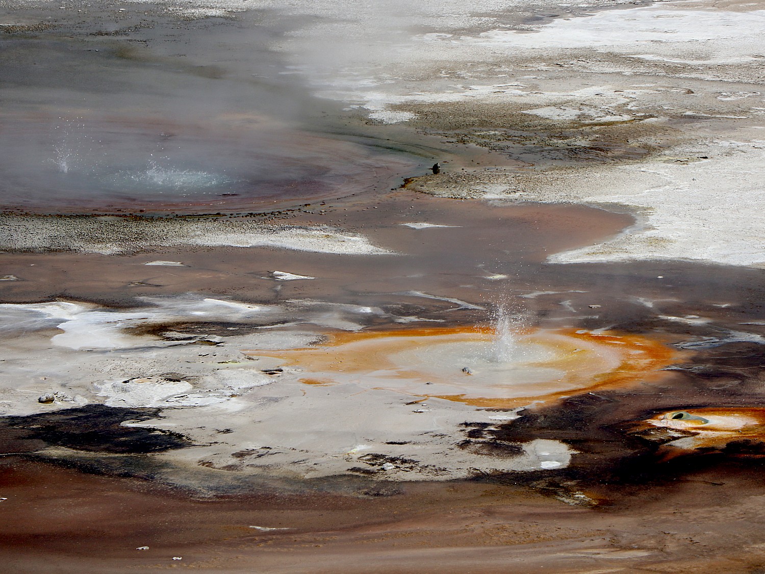
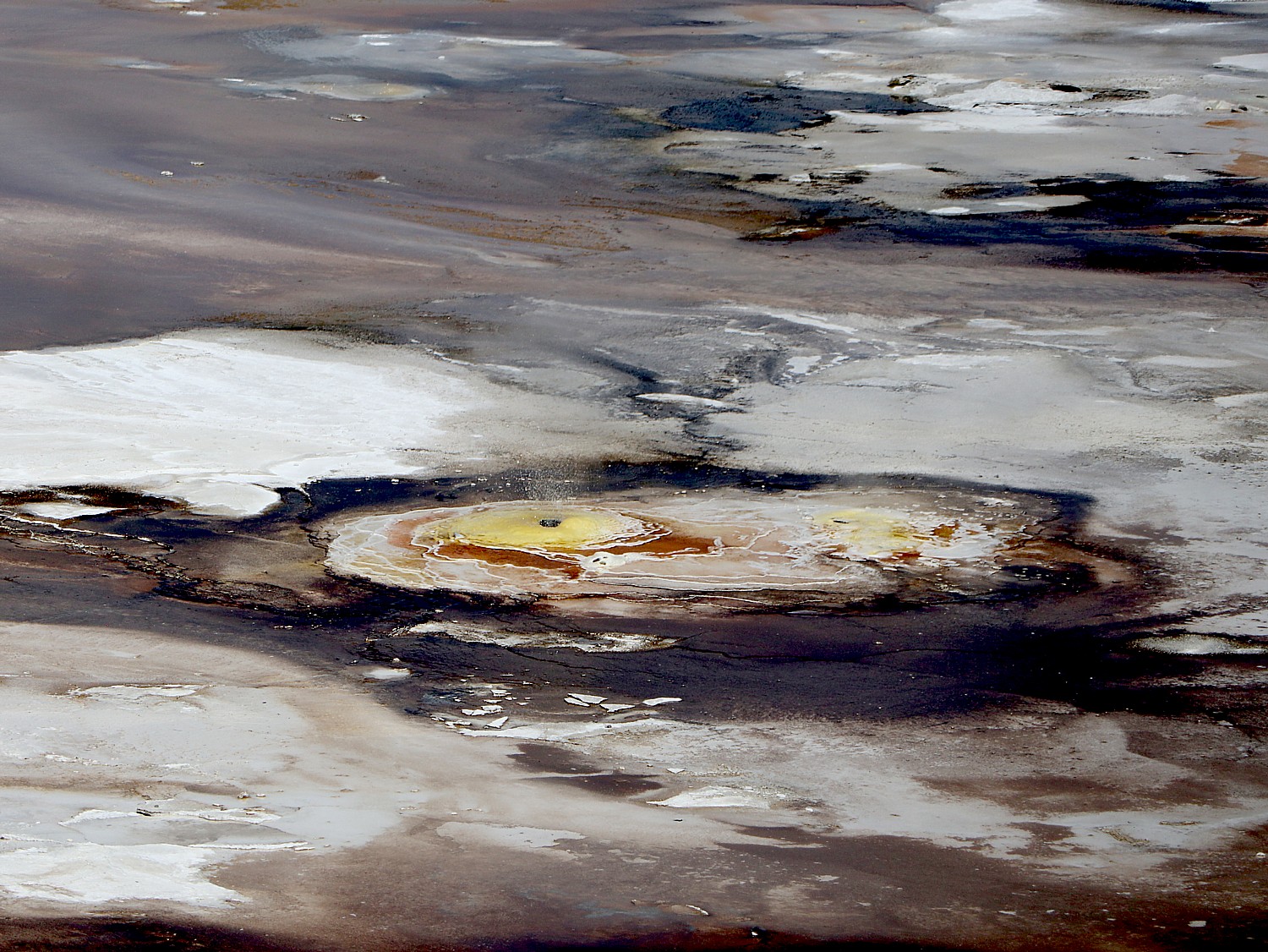
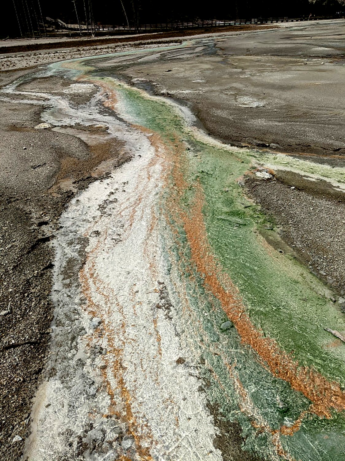
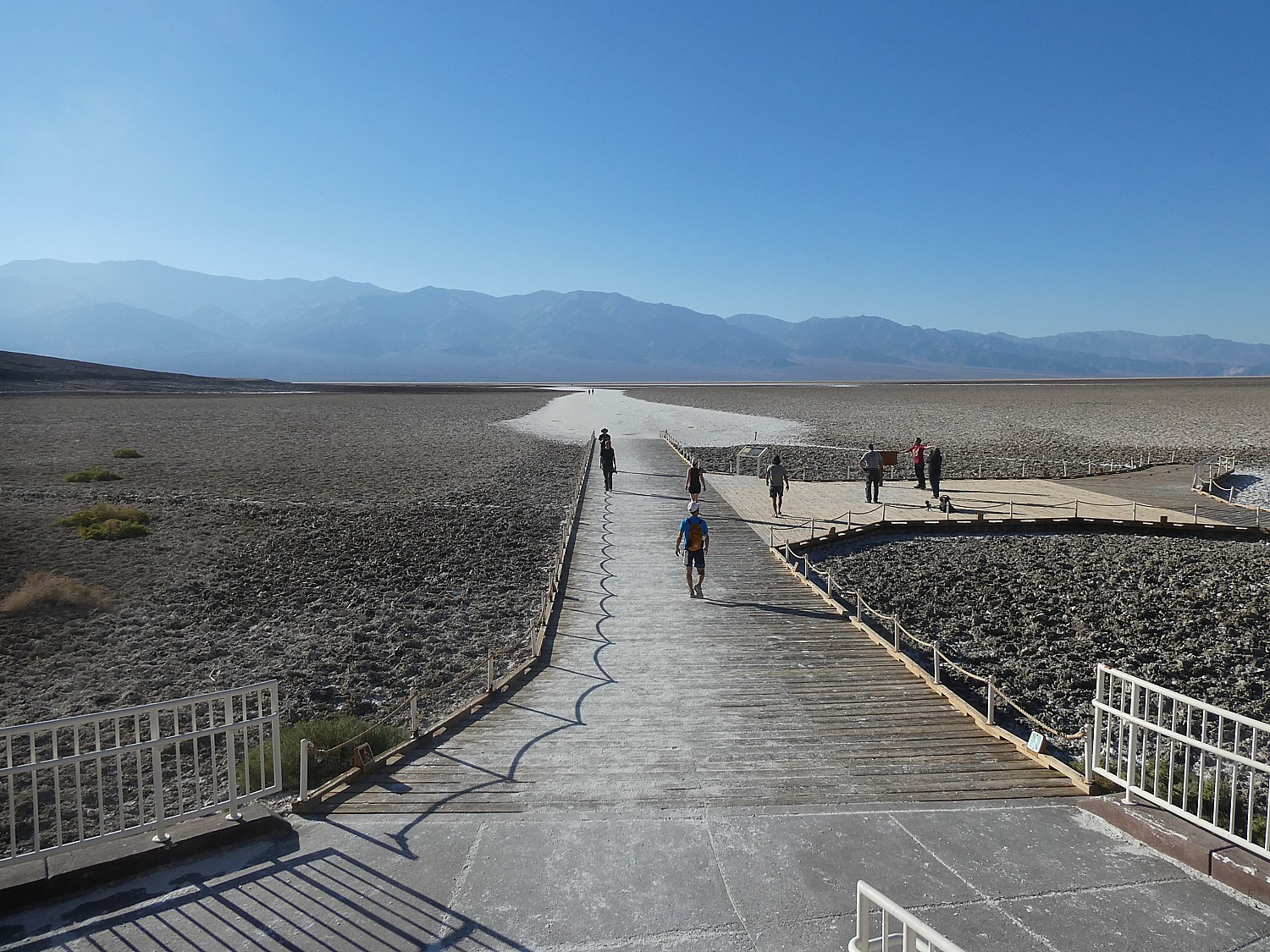
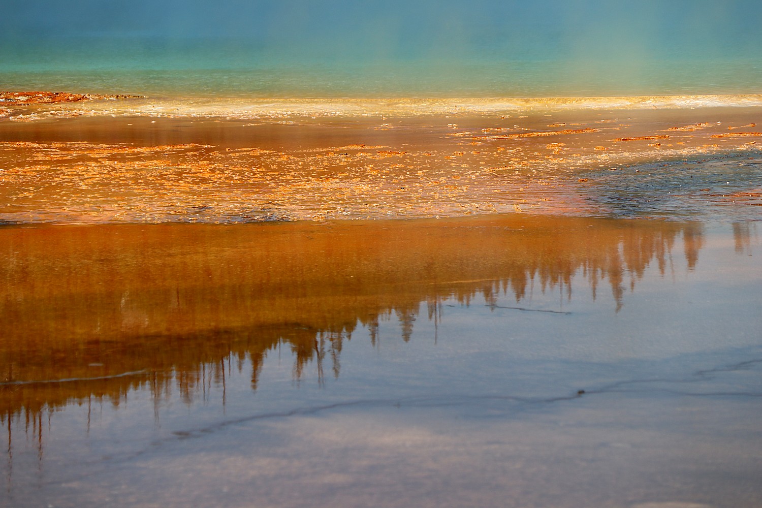
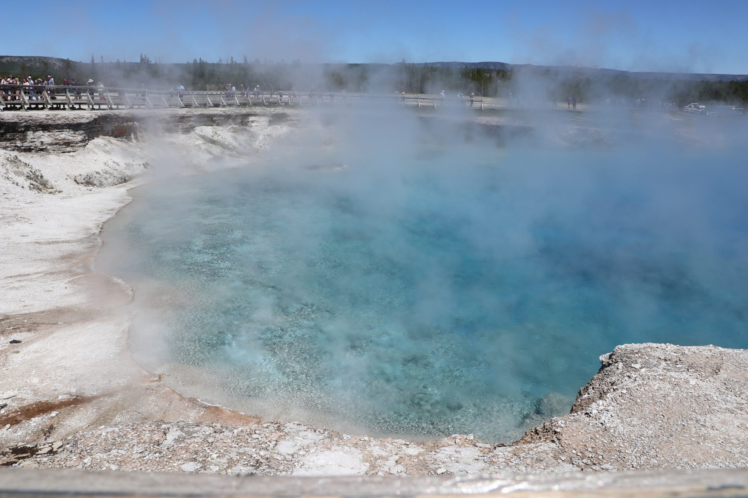
The Grand Prismatic Hot Spring in the Midway Geyser Basin is the largest hot spring in the United States and the most photographed thermal feature in Yellowstone National Park, thanks to its surreal colors and enormous size – 330 feet in diameter and more than 120 feet deep.
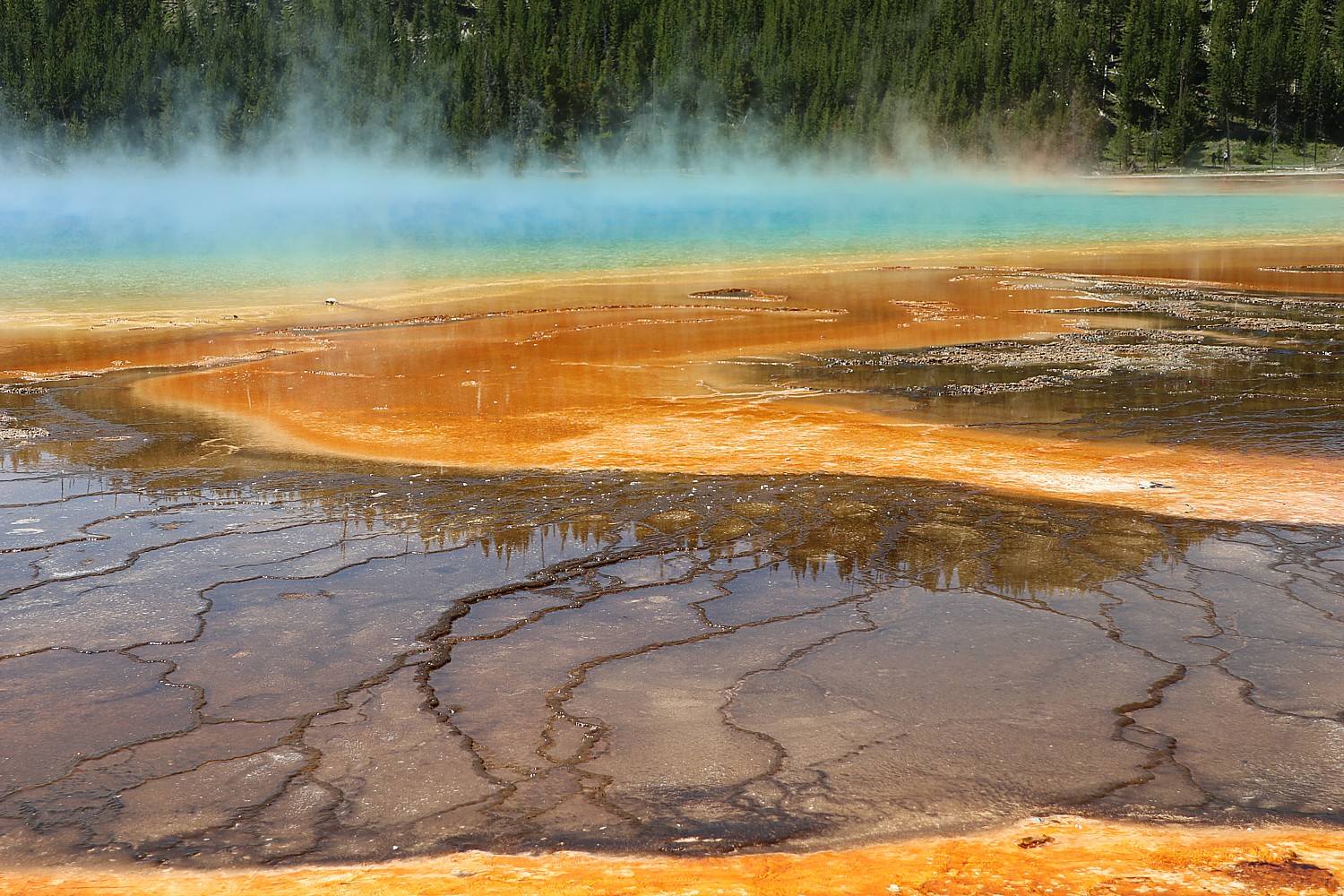

The striking colors are produced by thermophiles – microorganisms that flourish in the extremely hot water. Each band of color is a different collection of thermophiles, because they have specific ranges of temperatures in which they can live.
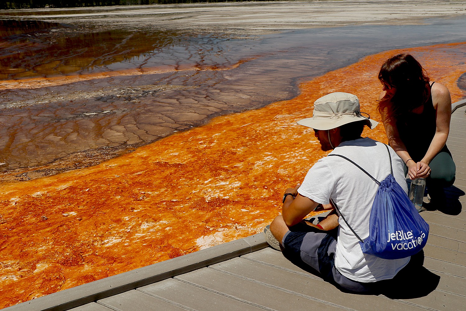
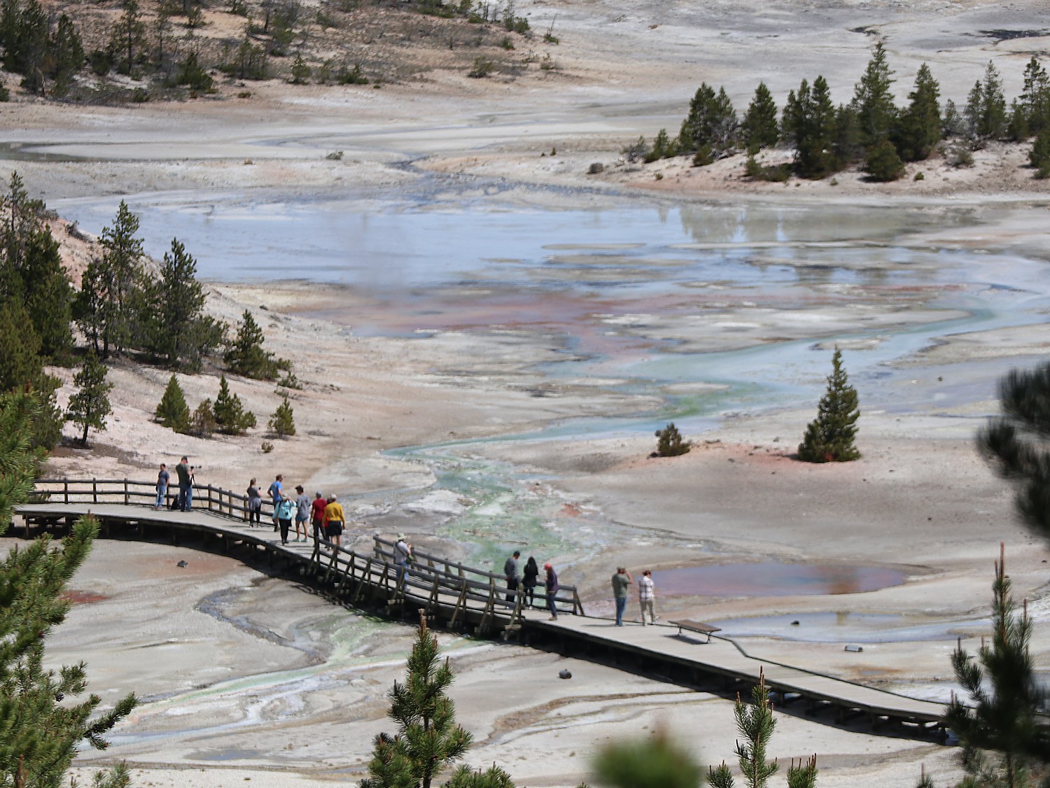
This easy 1.6 mile boardwalk trail overlooks the hot springs – but there are places where there is nothing between you and the Grand Prismatic (so be especially careful of children). (Since this trail is one of the most popular places in the park, weekdays and early mornings are the best times to visit).
Excelsior Geyser Crater is the other major feature in the area. Once an active geyser, Excelsior Geyser blew itself up and now is a 200 x 300 foot hot spring sitting in a crater. It discharges an impressive amount of water, at the rate of more than 4,000 gallons per minute.
From here, we drive to the trailhead that leads to the Fairy Falls Trail, but cuts off to an observation platform that looks down at the Grand Prismatic, so you can see it in its extraordinary entirety. We decide not to hike the trail and travel on, actually in search of a swimming hole that Eric knows. (https://www.nps.gov/thingstodo/yell-trail-fairy-falls.htm)
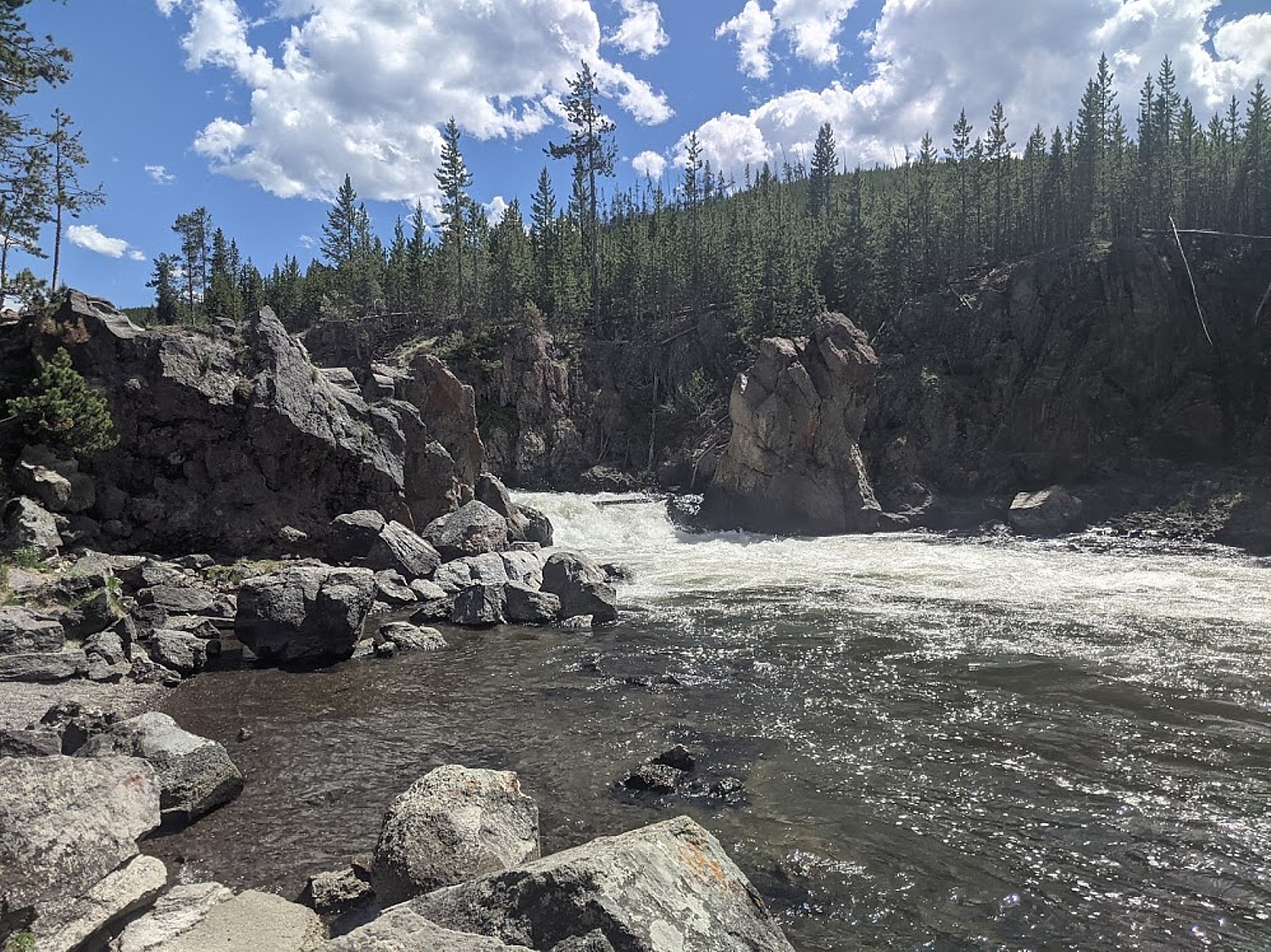
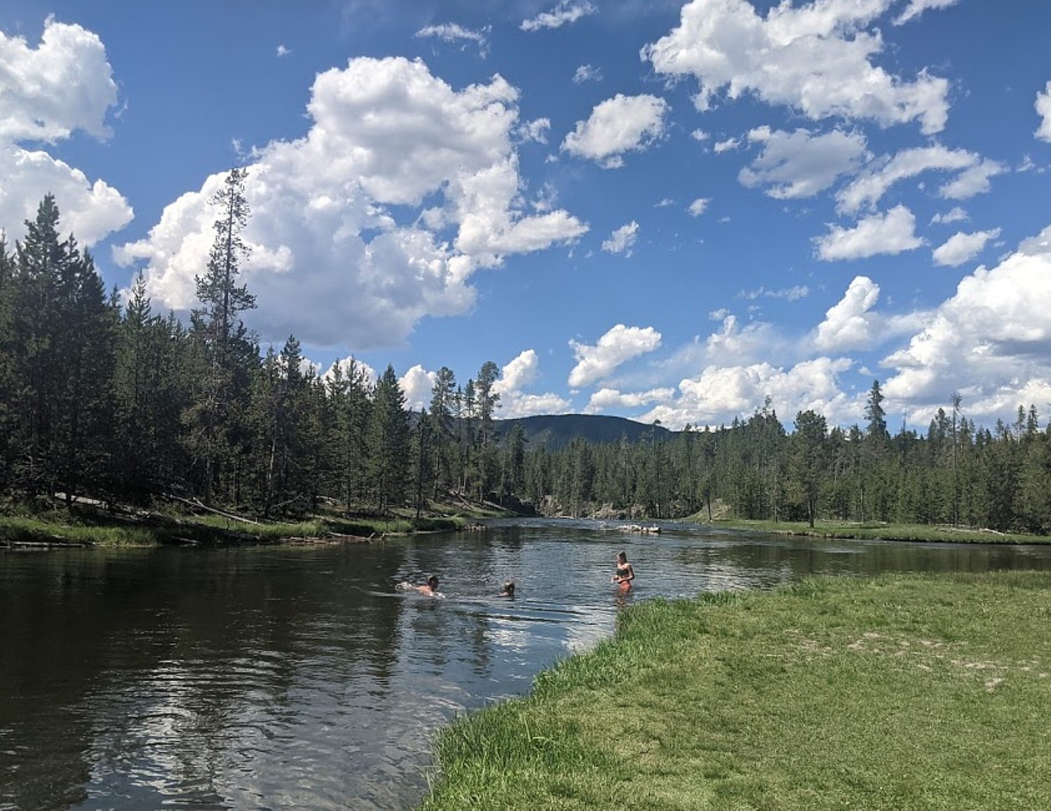
We turn off to a gorgeous two-mile drive through a canyon along the Firehole River with a gorgeous view of Mystic Falls. The swimming area is actually closed, but we go further on to a place where people fish but folks seem to have commandeered for swimming – just above where the water begins rushing to the falls.
Old Faithful
It’s a short drive further on to the Old Faithful area, just as the world-famous geyser is shooting up in air.
Old Faithful Geyser is one of the most famous geysers in the world and the most renowned feature of Yellowstone. What is so remarkable is how predictable the eruptions are – averaging 94 minutes plus or minus 10 minutes – based on the duration and height of the previous eruption, hence the name. (The National Park Service publishes the time for the next expected eruption, https://www.nps.gov/yell/planyourvisit/geyser-activity.htm; allow time to find parking and get to the geyser). There must be a thousand people gathered around a wide semi-circle to watch.
Old Faithful averages an eruption of 130 feet into the air, lasting 90 seconds to 5 minutes, shooting out 3,700–8,400 gallons of water. Water temperatures have been recorded at 203°F at the vent, which is above the boiling point of water at this elevation.
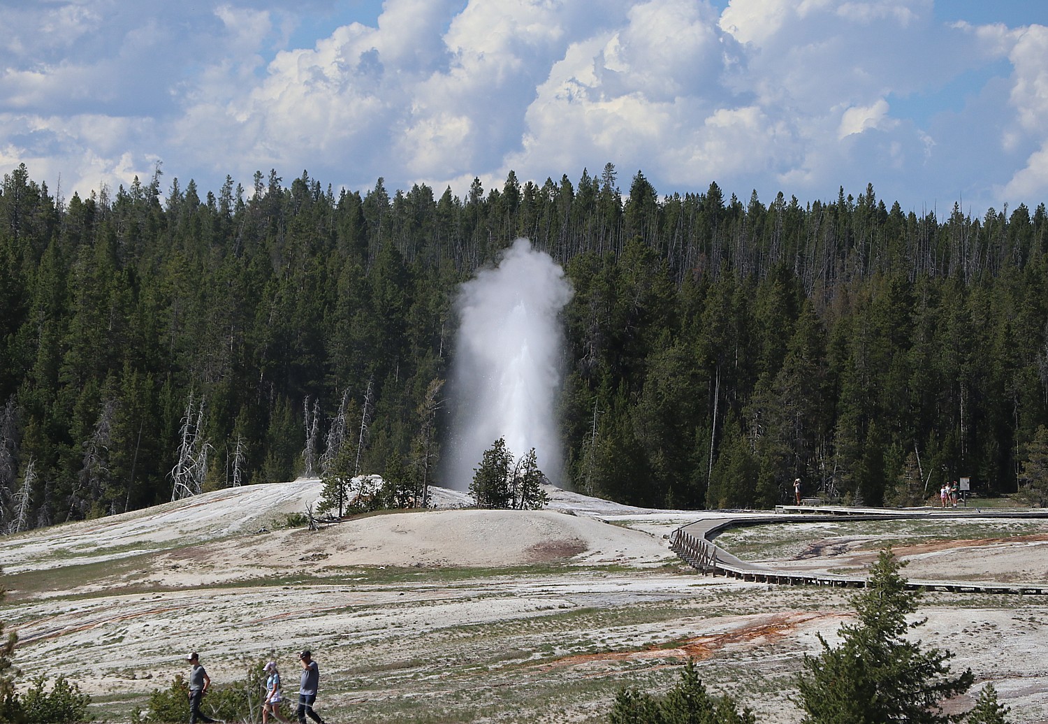
This is not the only hydrothermal feature to see in the area. In fact, Old Faithful is just one of hundreds of hydrothermal features in the Upper Geyser Basin, including 150 geysers—four that are even more predictable than Old Faithful—within one square mile, plus hundreds of hot springs. An extensive trail and boardwalk system provides up-close views of many of these features, and connects to nearby Black Sand Basin and Biscuit Basin.
You can hike a 1.6-mile there-and-back Observation Point trail, and can add 0.9 miles by continuing west to Solitary Geyser—a frequent erupter—then down to the Geyser Hill boardwalk and back to the trailhead. Or connect with the Upper Geyser Basin trail for a 4.9-mile hike (heavily trafficked) (see: https://www.alltrails.com/trail/us/wyoming/upper-geyser-basin-and-old-faithful-observation-point-loop).
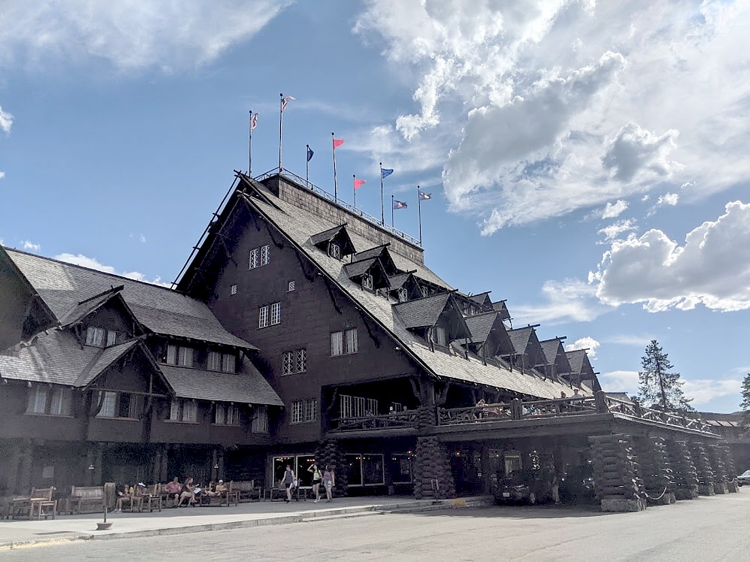
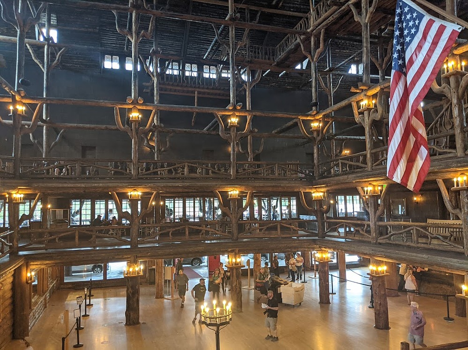
The historic Old Faithful Inn, built in 1904 using native wood and stone, is an attraction in itself with a very surprising architecture inside. The architect was Robert Reamer, who set an architectural standard for luxury accommodations in the park that blended with the landscape. He designed more than 30 Yellowstone projects between 1903 and 1937, 18 of which still grace the major areas of the park.
With COVID-19 restrictions still in place, a guy in front is counting off 35 people to enter at a time; a woman controls capacity entering the gift shop. We get ice cream and make our way to a terrace overlook to Old Faithful. This is our rest stop to get us to the late afternoon, when we plan to drive through Hayden Valley, the other most popular place (besides Lamar Valley) where wildlife are most likely to come out to the watering holes.
(Yellowstone park’s lodges and campgrounds, including Old Faithful Inn, Old Faithful Lodge Cabins, Old Faithful Snow Lodge, Canyon Lodge and Cabins, and Roosevelt Lodge Cabins are managed by Xanterra, 307-344-7311, www.yellowstonenationalparklodges.com).
West Thumb
We head over to West Thumb, which proves to be a total surprise.
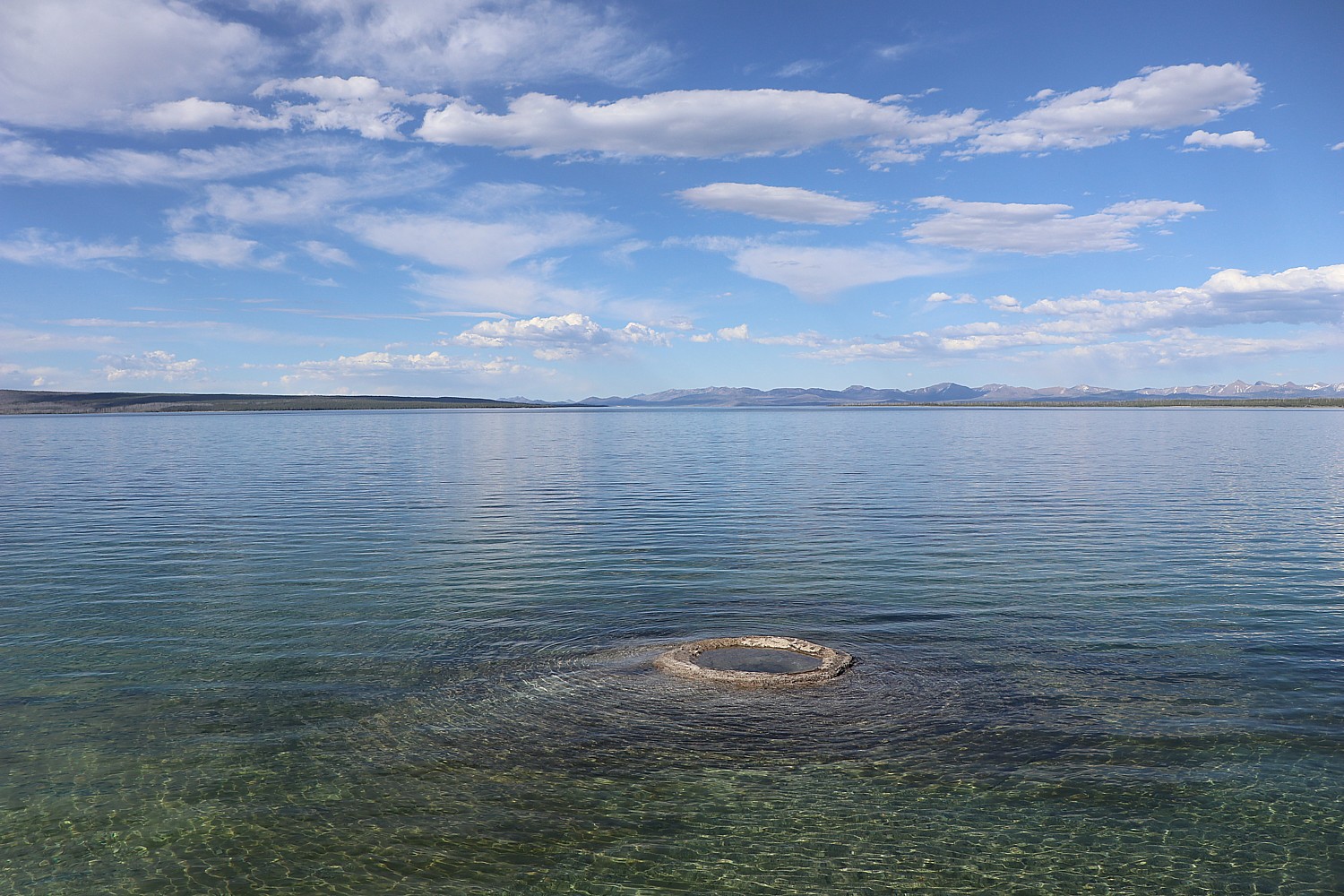
West Thumb is a caldera within a larger caldera formed after a powerful volcanic explosion 174,000 years ago that caused the earth’s crust to collapse. The depression produced by the volcano later filled with water to become this large bay of the Yellowstone Lake, the largest lake at high elevation in North America.
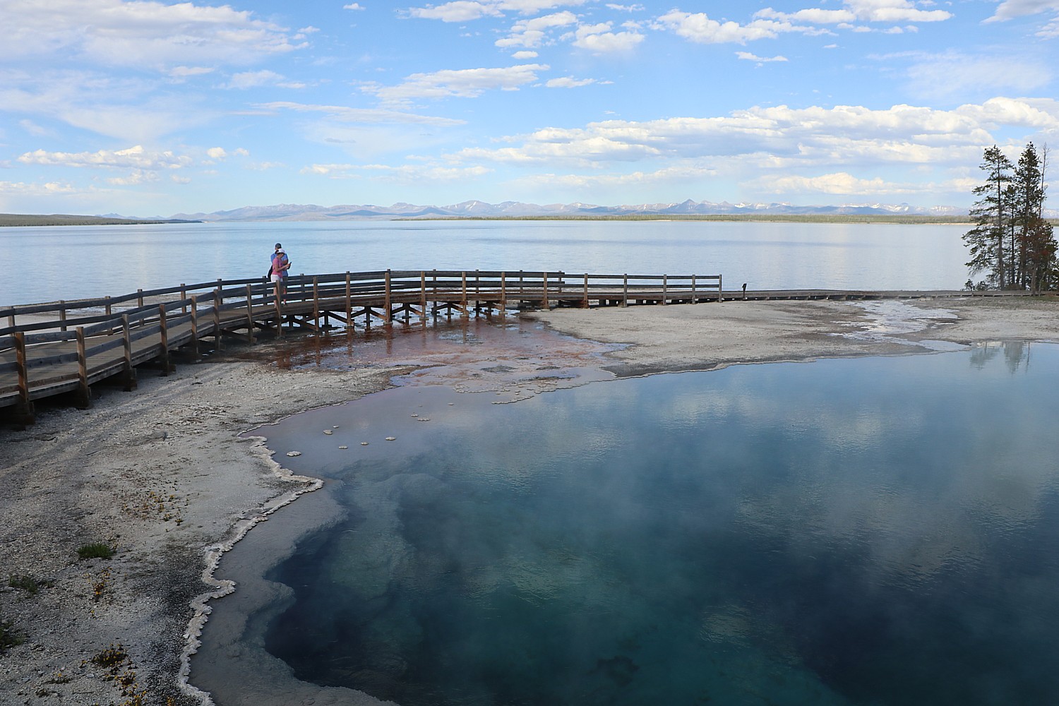
There are active hydrothermal features on the lake bottom here and elsewhere in the lake, which cause stunning ripples and patterns in the water.
Perhaps because it is late in the afternoon, and all is so still and quiet (and West Thumb isn’t as crowded as Grand Prismatic or Old Faithful), I feel an incredible tranquility here at West Thumb. The predominant colors – blues and greens – are so calming, so Zen.
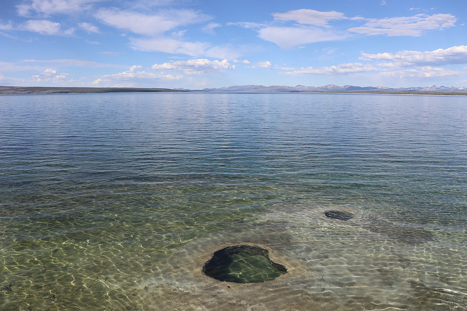
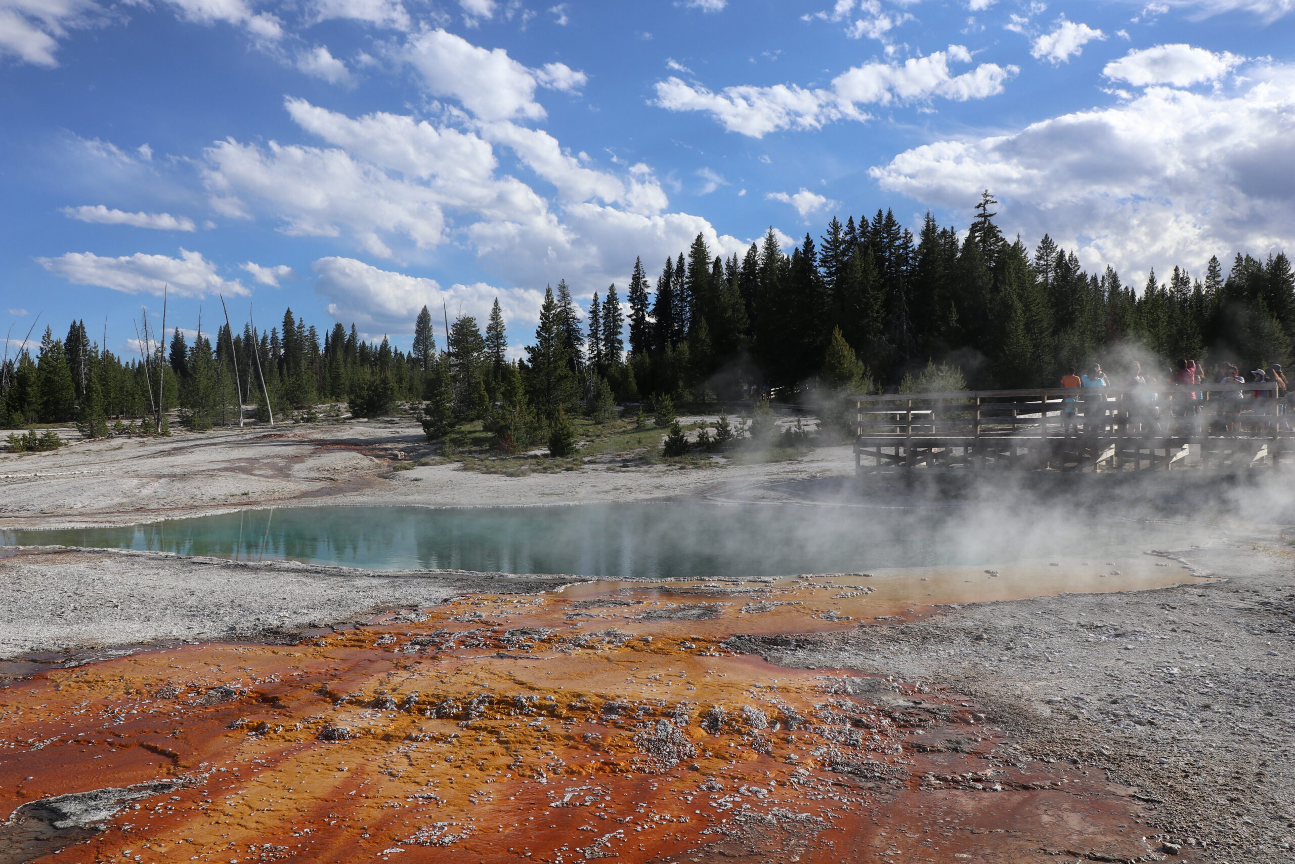
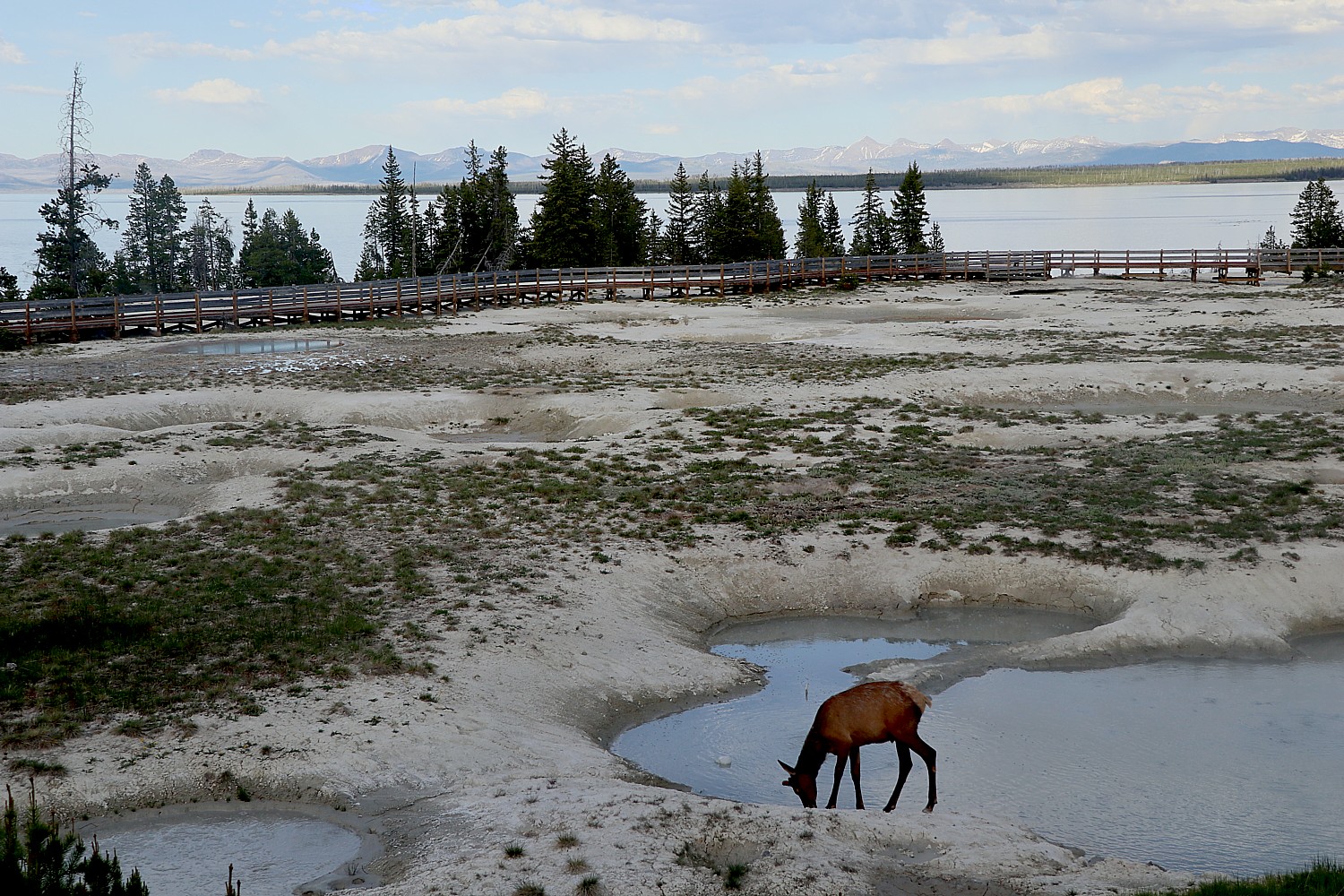
West Thumb Geyser Basin is the largest geyser basin on the shore of Yellowstone Lake, but what is most interesting is that we see hydrothermal features that lie under the lake, too. The heat from these features can melt ice on the lake’s surface. I overhear a Ranger say that early visitors would catch a fish, then cook it over the boiling cone, appropriately named Fishing Cone.
Along the mile-long boardwalk trail you see Fishing Cone (known to have erupted in 1919 and 1939), Black Pool (a hot spring 35-40 feet), West Thumb Paint Pots and Abyss Pool (a hot spring about 53 feet deep). (See: https://www.alltrails.com/trail/us/wyoming/west-thumb-geyser-basin).
Here, too, there are the stunning colors in the pools produced by thermophiles – those heat-loving microorganisms.
Yellowstone Lake has 131.7 square miles of surface area and stretches roughly 20 miles long by 14 miles wide. It also has 141 miles of shoreline. At its deepest, it reaches 430 feet though it averages a depth of 138 feet. It is the largest lake at high elevation (above 7,000 feet) in North America.
The lake’s main basin is part of the Yellowstone Caldera, which was formed 630,000 years ago. West Thumb was formed by a later, smaller eruption, 174,000 years ago. The arms of the lake were formed by uplift along fault lines and sculpting by glaciers.
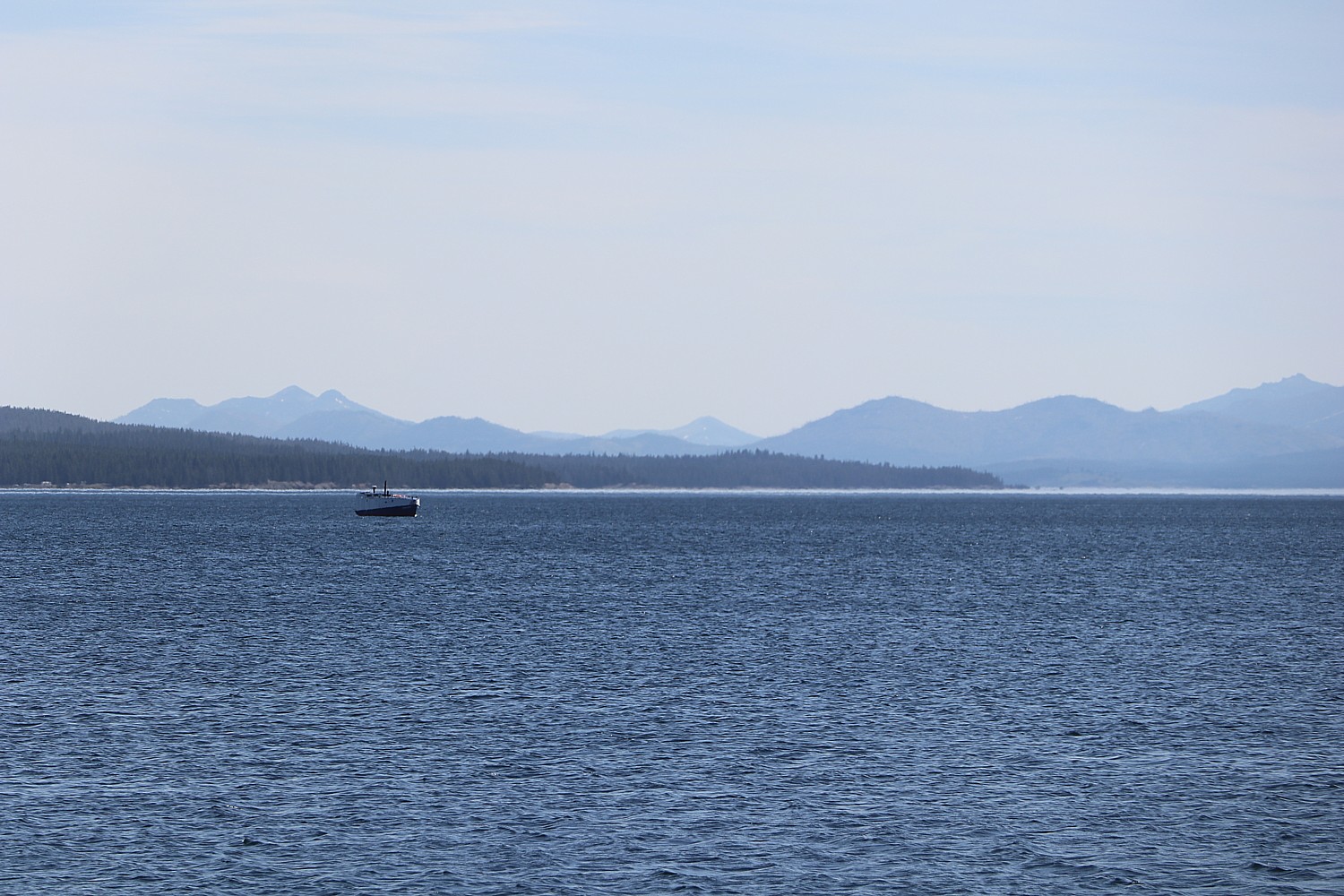
Framed on the east by the Absaroka Range, Yellowstone Lake is considered the heart of Yellowstone. Its waters are the lifeblood for a large network of plant and animal communities including trumpeter swans and moose that thrive on the aquatic growth in shallow waters along the shore; trout which live on zooplankton living in these waters; cutthroat trout that are food for pelicans, otters, eagles, black and grizzly bears, and other wild life.
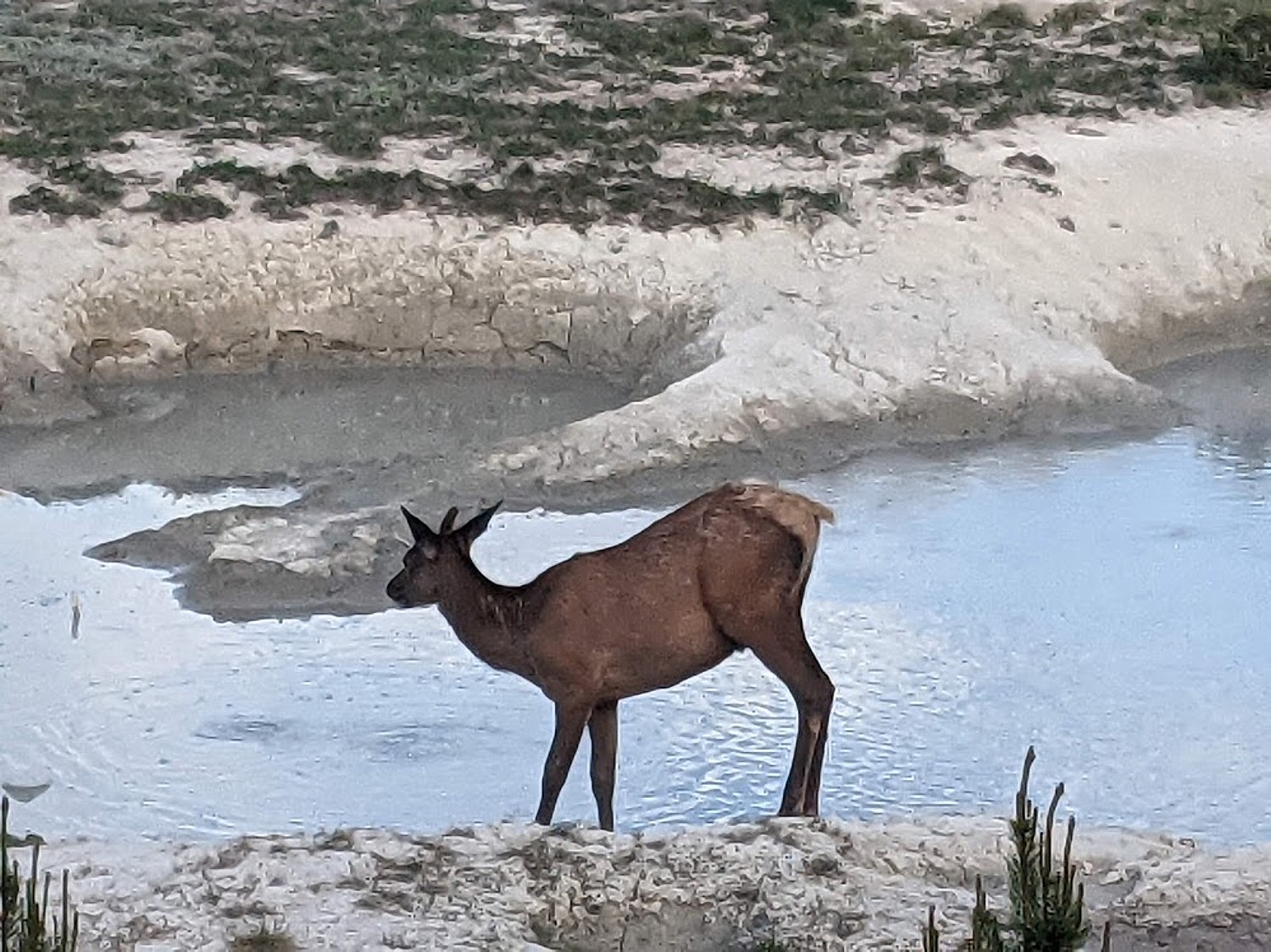
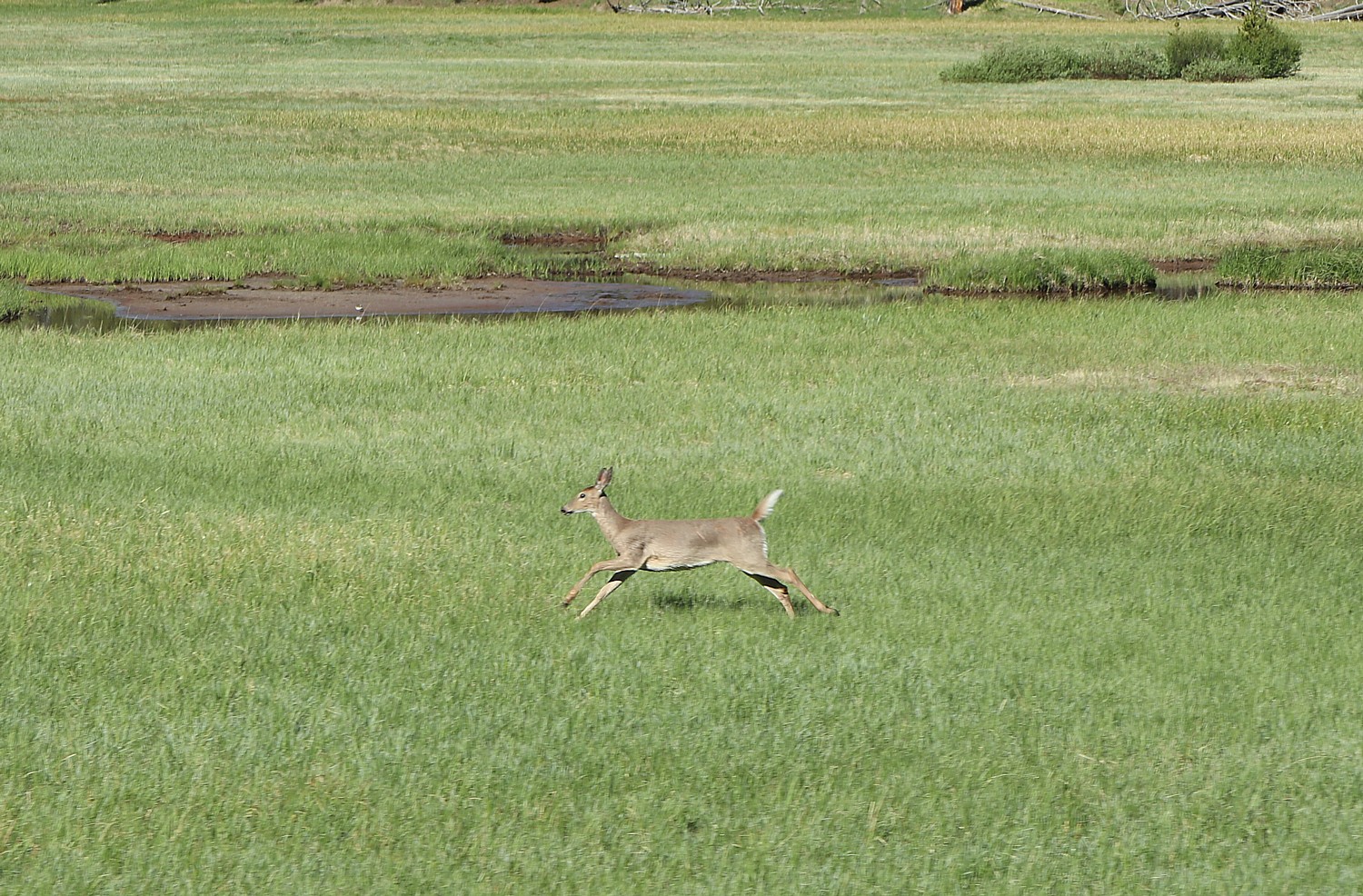
And just as we round the turn on the way out, we spot a deer feeding at one of the pools, oblivious to the people watching. Laini had just commented that the scene didn’t look real but like one of those enhanced reality apps, and then we spot the elk, so graceful, so uncaring about our presence, drinking. Laini dubs it “Narnia Pond.” It truly seems enchanting.
Hayden Valley
We have now reached the best part of the day for wildlife viewing. So we head off to the Hayden Valley, considered one of the best places in the park for wildlife (Lamar Valley, which we drove through on our way into Yellowstone, is another.) for what proves to be a photo safari.
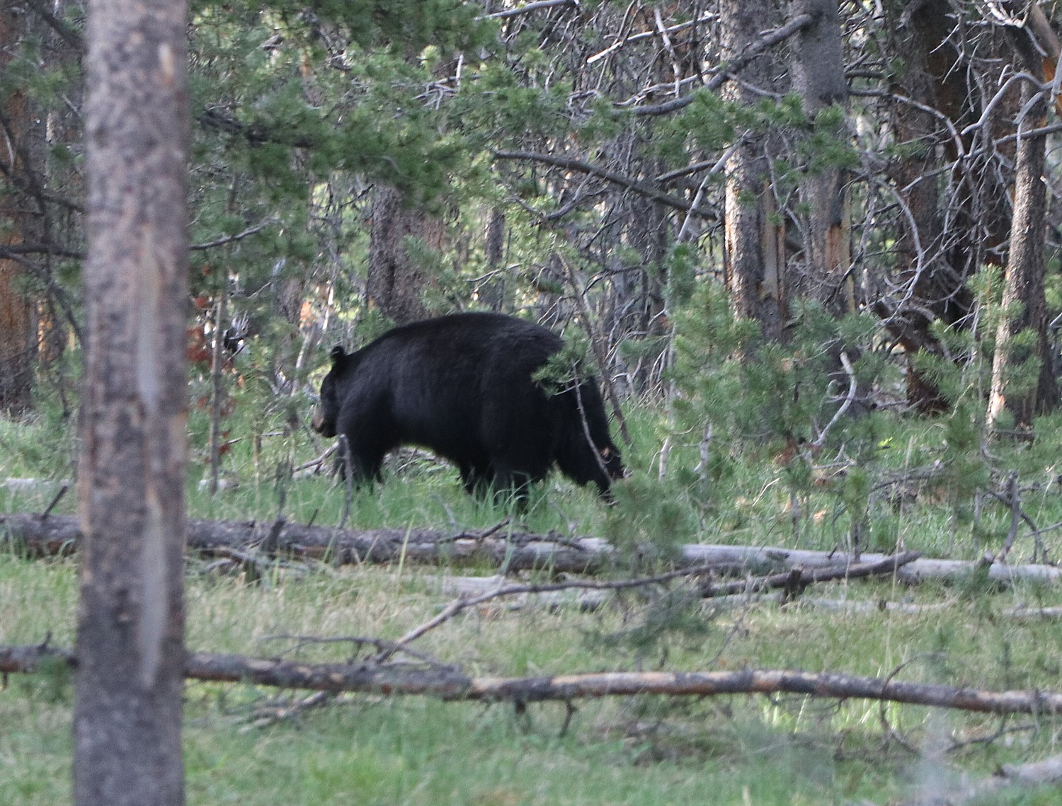

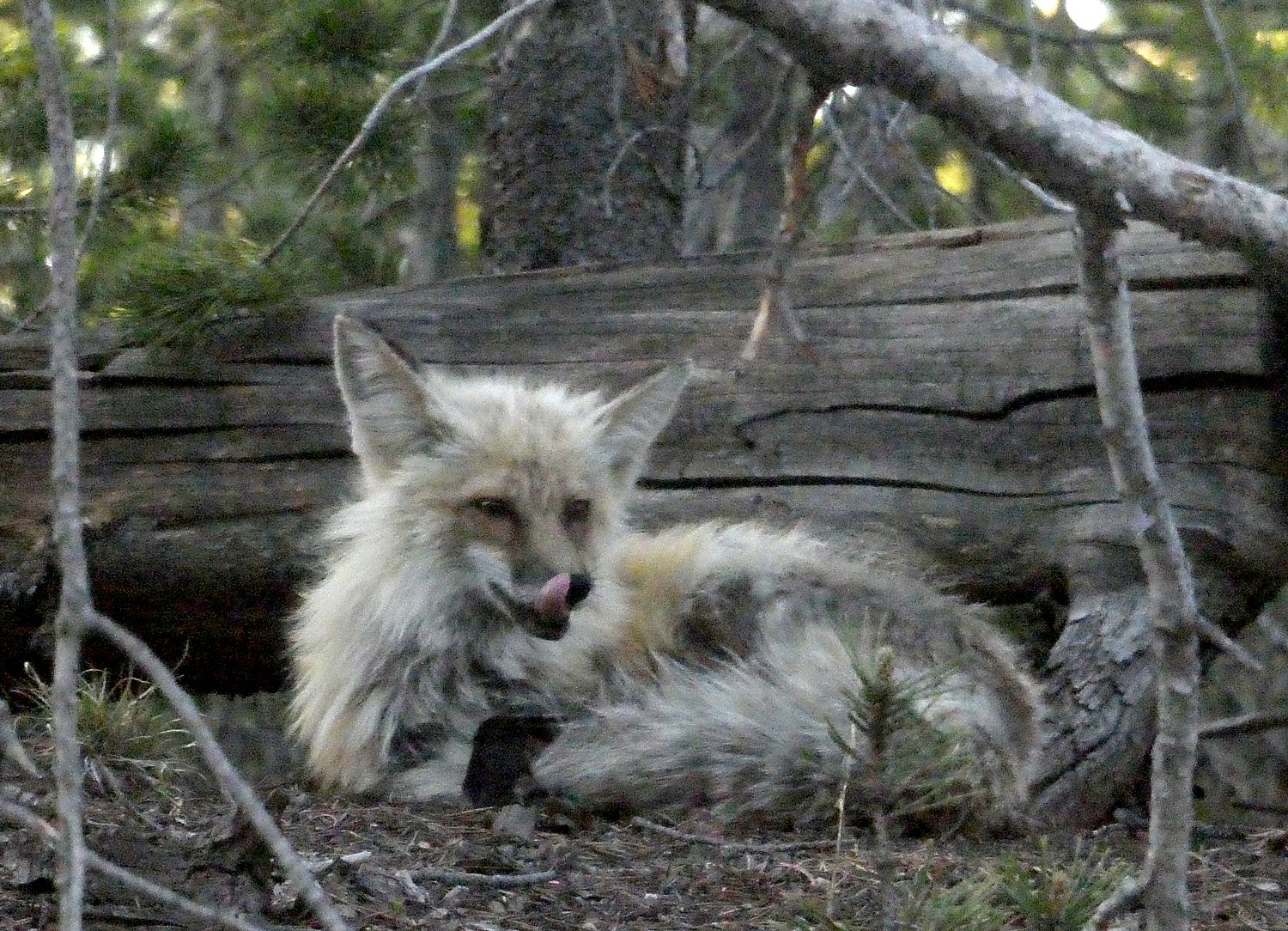
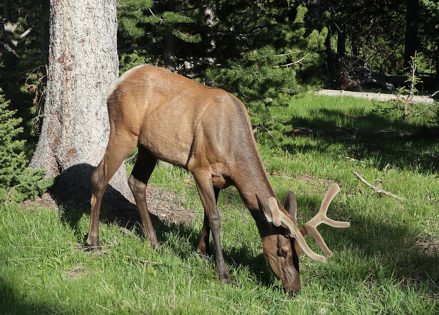
Sure enough, we spot a bear, a mule deer, a fox, a coyote. The trick is to watch where others have stopped and look where they are pointing – we come upon a large group and just catch the last patch of black of what we are told was a mother bear with two cubs going back into the forest.
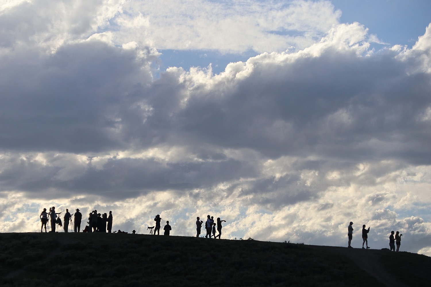
We arrive at a promontory where a line of serious photographers have staked out a place with their tripods, binoculars and massive lenses, communicating sightings by walkie talkies. One spotter sees a family of wolves – but it is 1 ½ miles out.
Hayden Valley is covered with glacial till left from the most recent glacial retreat, some 13,000 to 14,000 years ago and is marshy today. The valley has historically been the major location of the bison rut (mating season), though recent trends have seen the herds move north to the Lamar Valley. Grizzly and black bears are often seen in the spring and early summer. Coyotes and wolves are also seen in the valley.
On the south end of Hayden Valley is Mud Volcano, a hydrothermal area rich in features that let off a “rotten egg” smell from hydrogen sulfide gas.
It’s about an hour’s drive from Hayden Valley in the center of Yellowstone, to the town of West Jackson. We get the last rays of sun and a sunset. By the time we get to West Jackson, where we have booked the next two nights of our stay, it’s after 9 pm, and Eric has staked out restaurant reservations at Madison Crossing, housed in what was West Yellowstone’s first school, built in 1918.
Then it’s on to our charming cabin accommodations at the Elkhorn Country Inn and Cabins, which we found on booking.com. A plaque tells the story how our cabin was restored and repurposed from historic cabins that was used to house US Army troops from 1886-1916. The cabins were moved around until ending up at the hotel’s property in the 1950s. The owners preserved and reused the wood – 100-year old floor boards were used for the headboards – and even found old military fatigues used as insulation. The hotel serves a pleasant continental breakfast (excellent coffee).
Elkhorn Inn & Cabins is located just a few blocks into the park but with the popularity of West Jackson, bustling tourist town, loaded with charming restaurants and shops, this West entrance is much more crowded, with a line up of cars that extends for blocks. Patience.
(Elkhorn Inn & Cabins, 29 Gibbon Ave, West Yellowstone, MT, 59758, 307-733-2364, 800-246-8357)
More planning help at: www.yellowstonenationalpark.com and www.YellowstoneLodging.com.
See also:
Yellowstone National Park in Two Days: Day 1: ‘Random Boiling Earth’
______________________
© 2021 Travel Features Syndicate, a division of Workstyles, Inc. All rights reserved. Visit goingplacesfarandnear.com, www.huffingtonpost.com/author/karen-rubin, and travelwritersmagazine.com/TravelFeaturesSyndicate/. Blogging at goingplacesnearandfar.wordpress.com and moralcompasstravel.info. Send comments or questions to [email protected]. Tweet @TravelFeatures. ‘Like’ us at facebook.com/NewsPhotoFeatures