Category Archives: Outdoors Adventures

The World is Your Oyster: Summer Vacations with Pizzazz

The dramatic reward after a four-day 26-mile trek along the Inca Trail to Machu Picchu, Peru © Karen Rubin/goingplacesfarandnear.com 

By Karen Rubin, Travel Features Syndicate, goingplacesfarandnear.com

Bucket List Summer Adventures

For those who want to ditch the tame in favor of a series of thrilling experiences you can complete on your summer break, here are trips with pizzazz for you:

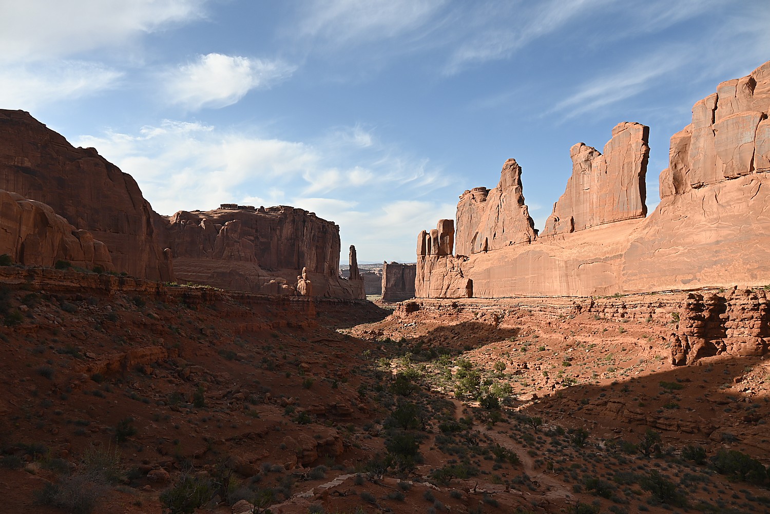
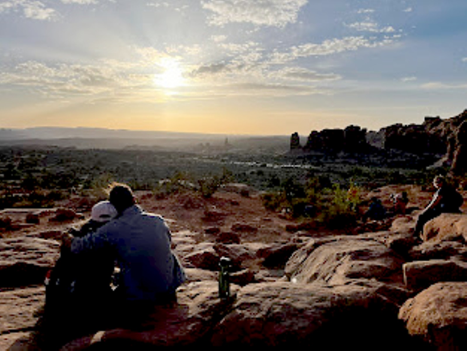
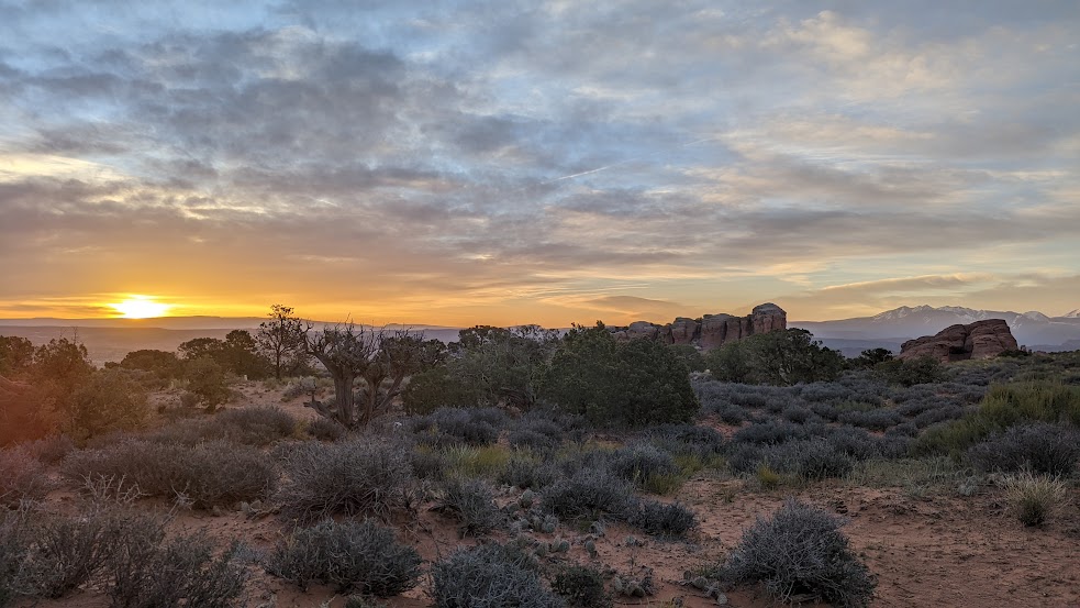
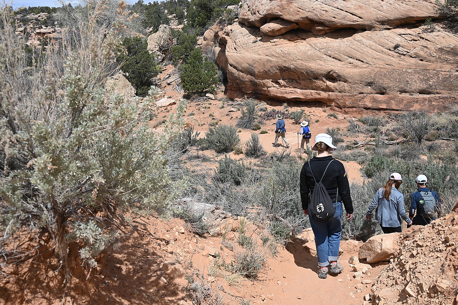
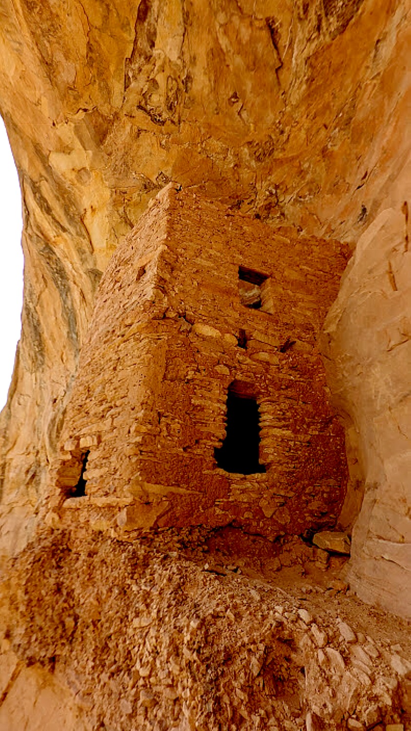
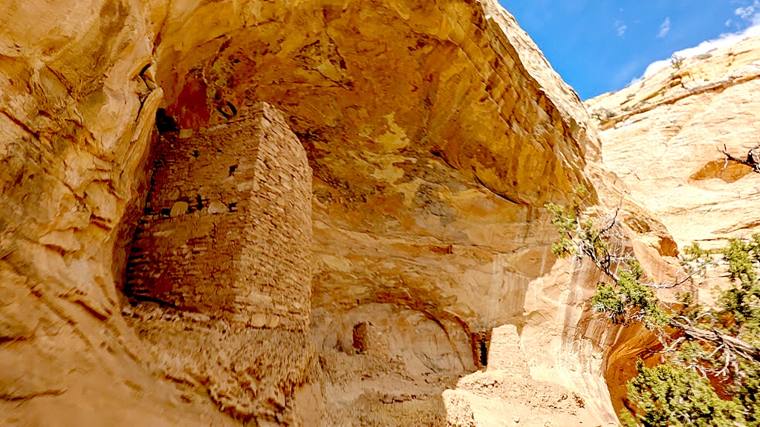
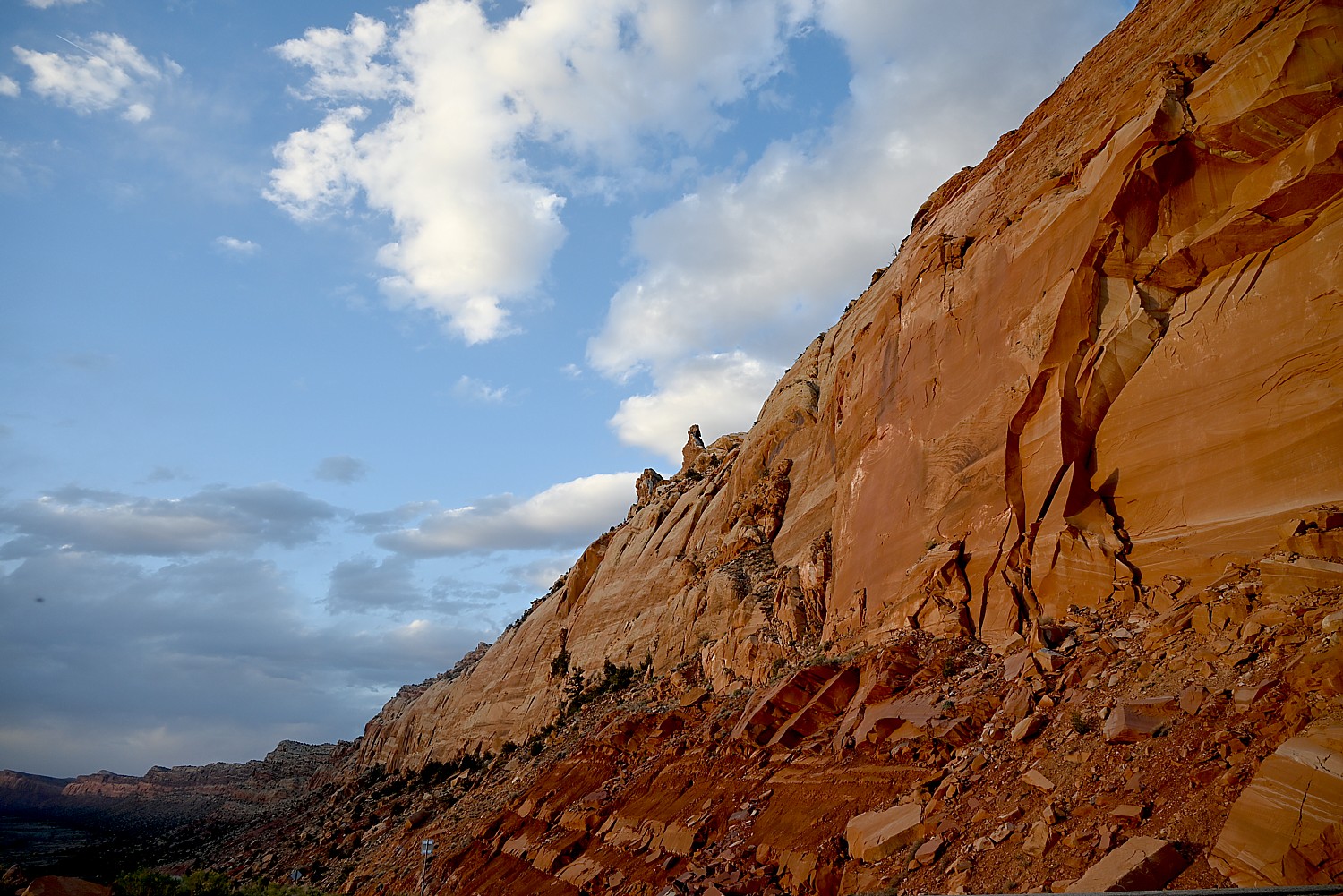
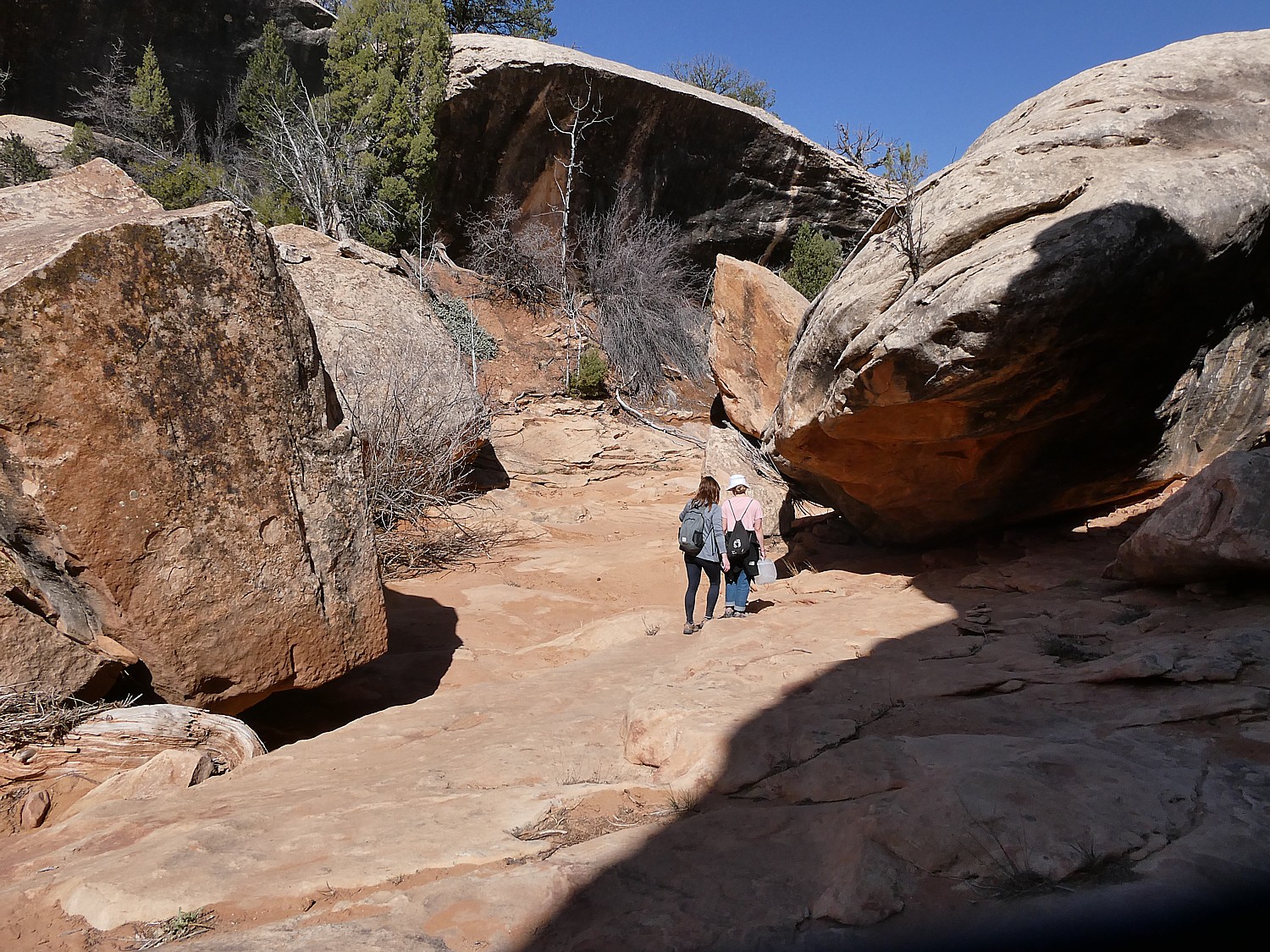
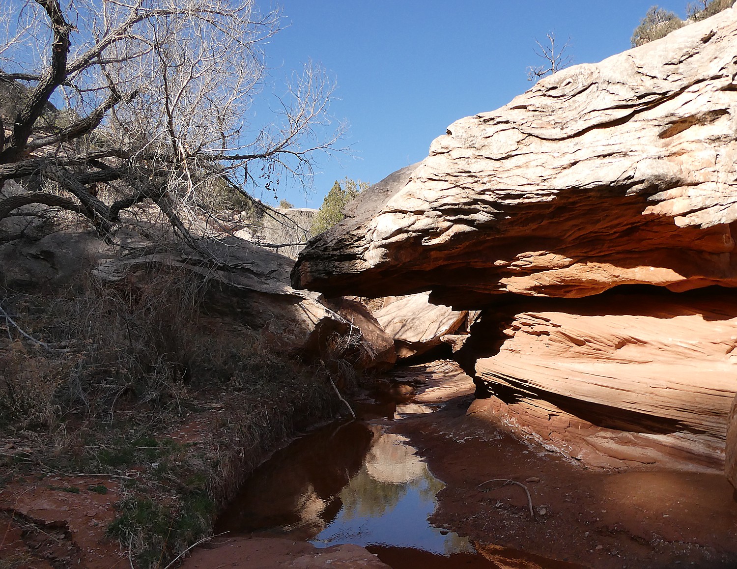
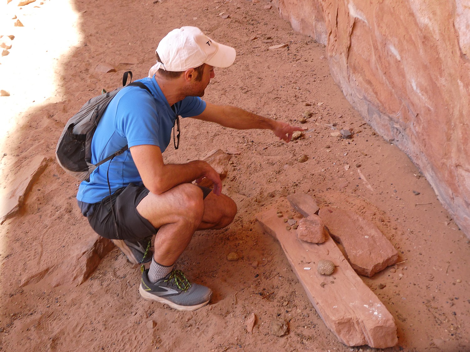
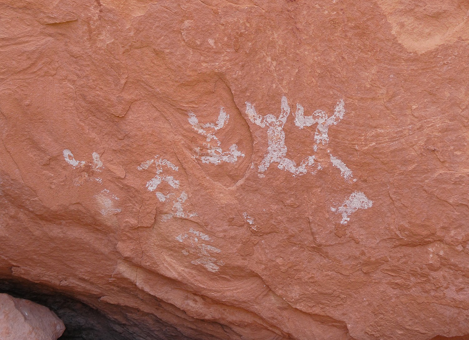
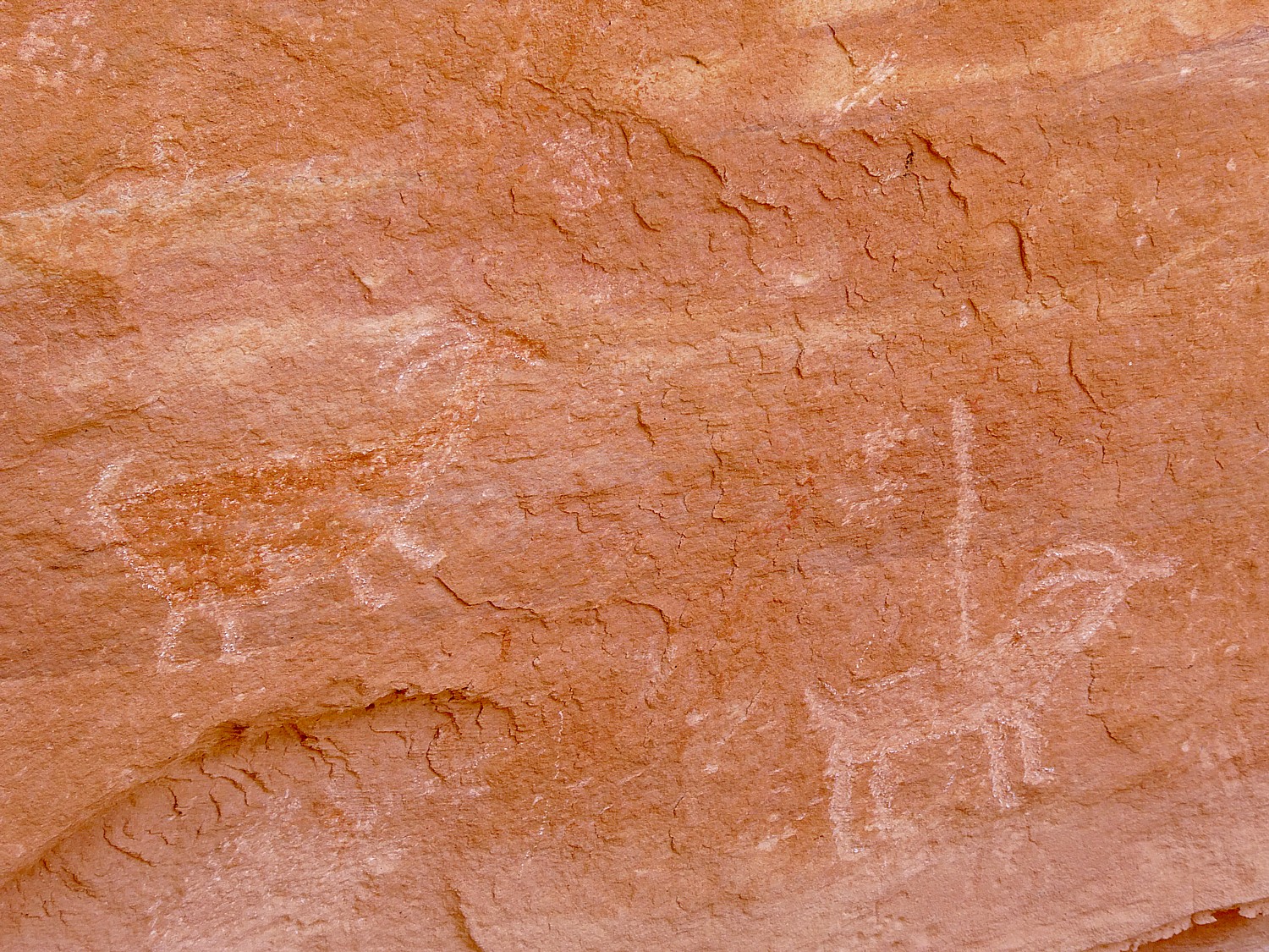
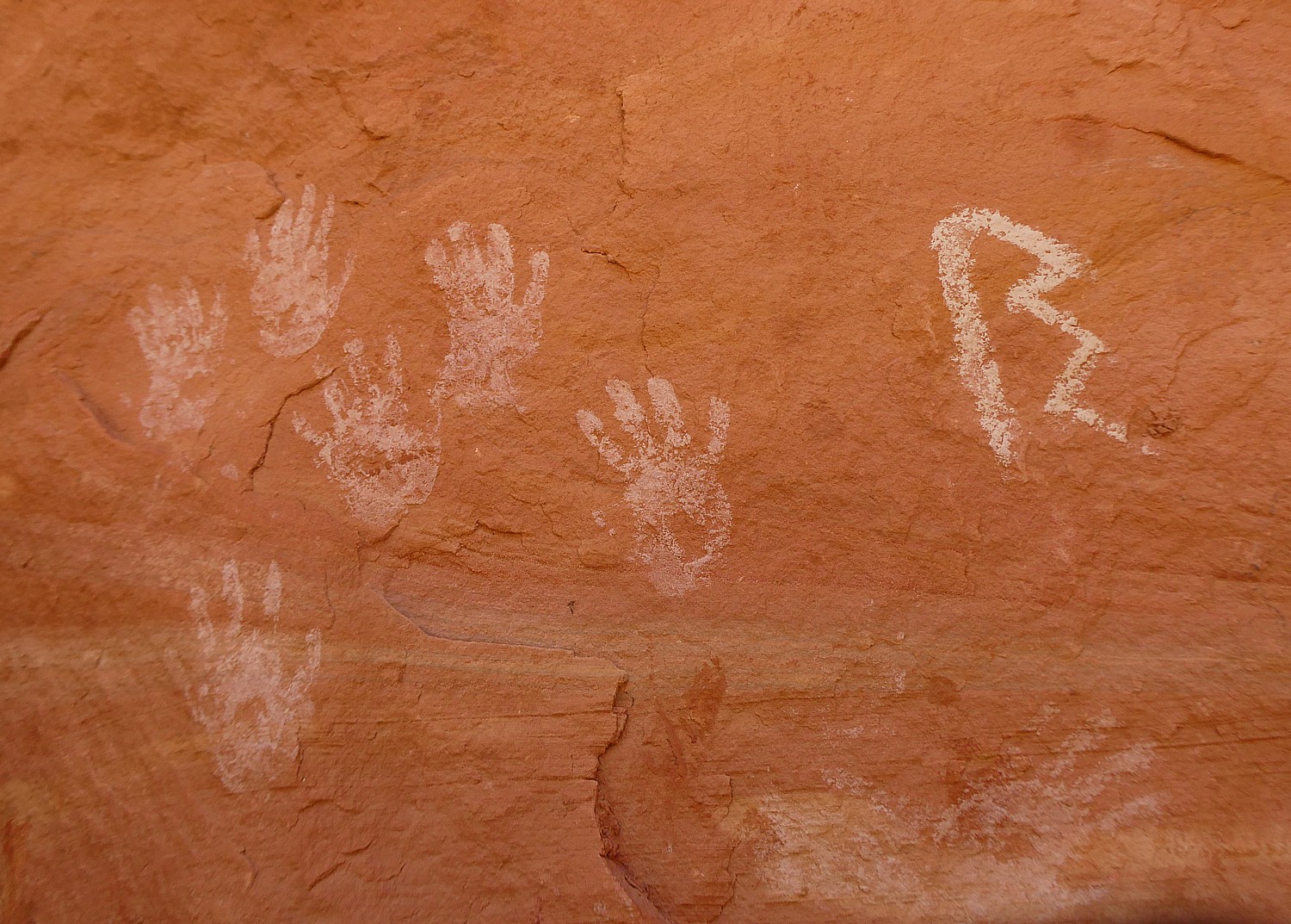
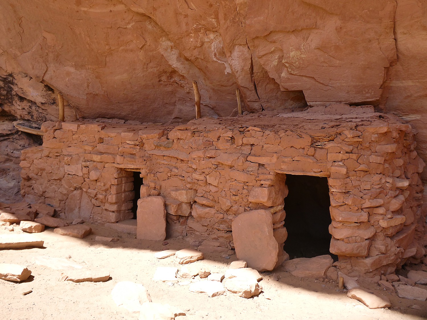
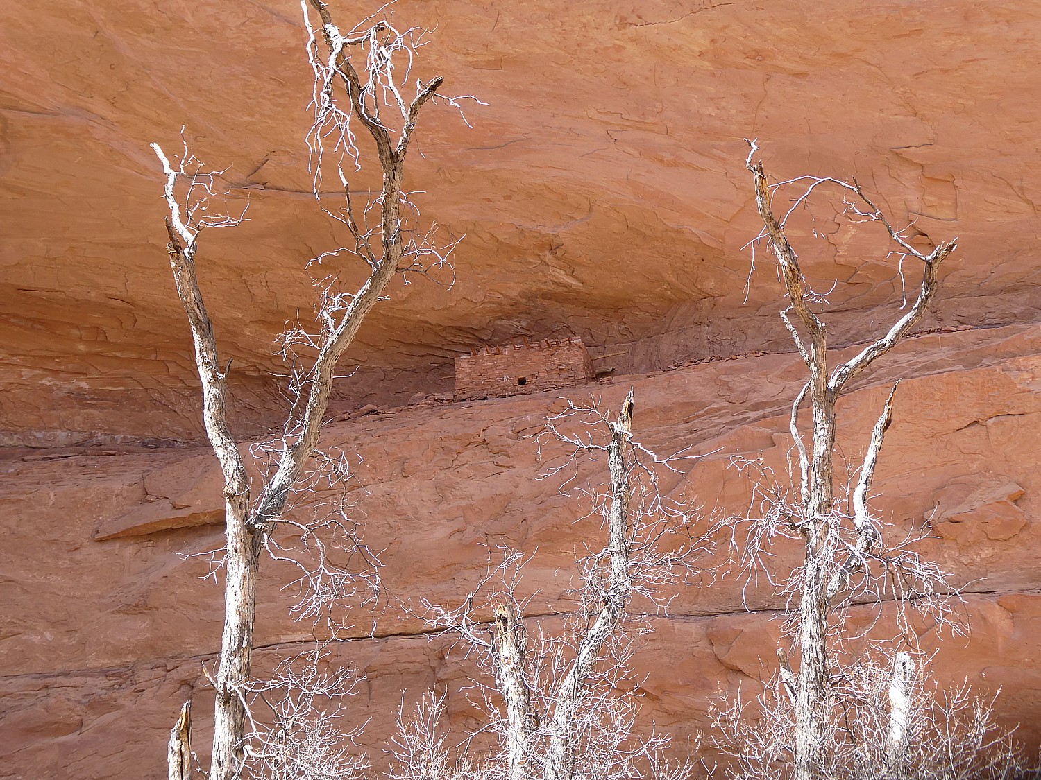
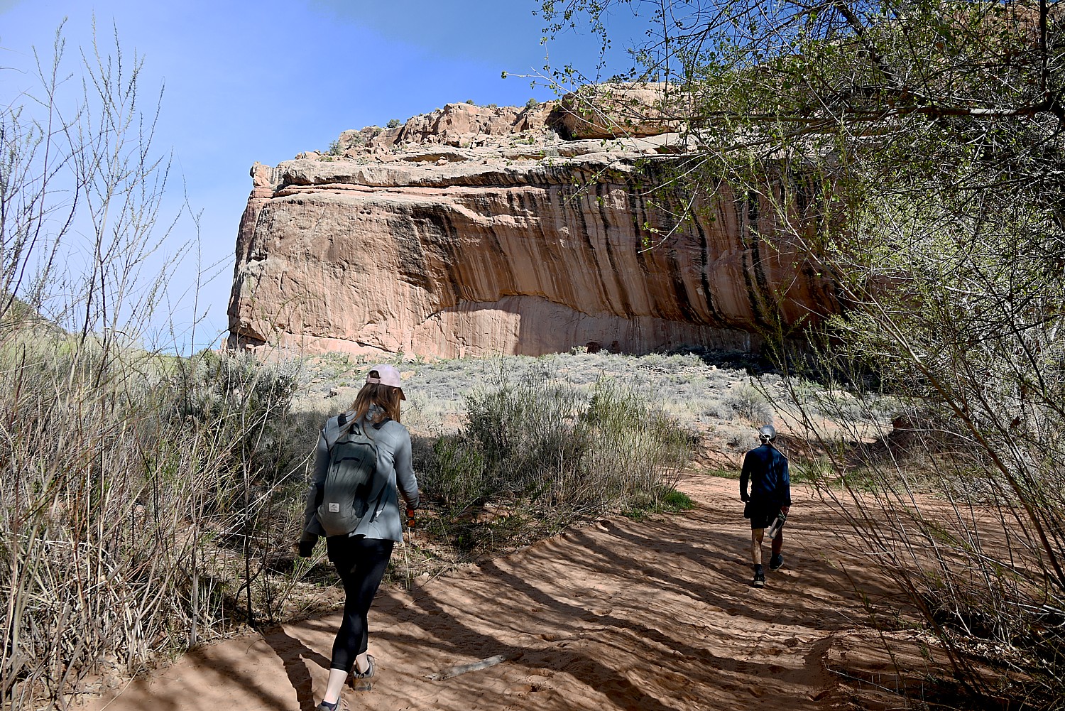
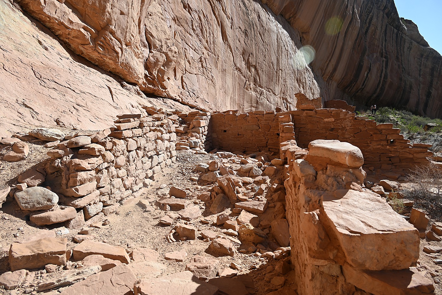
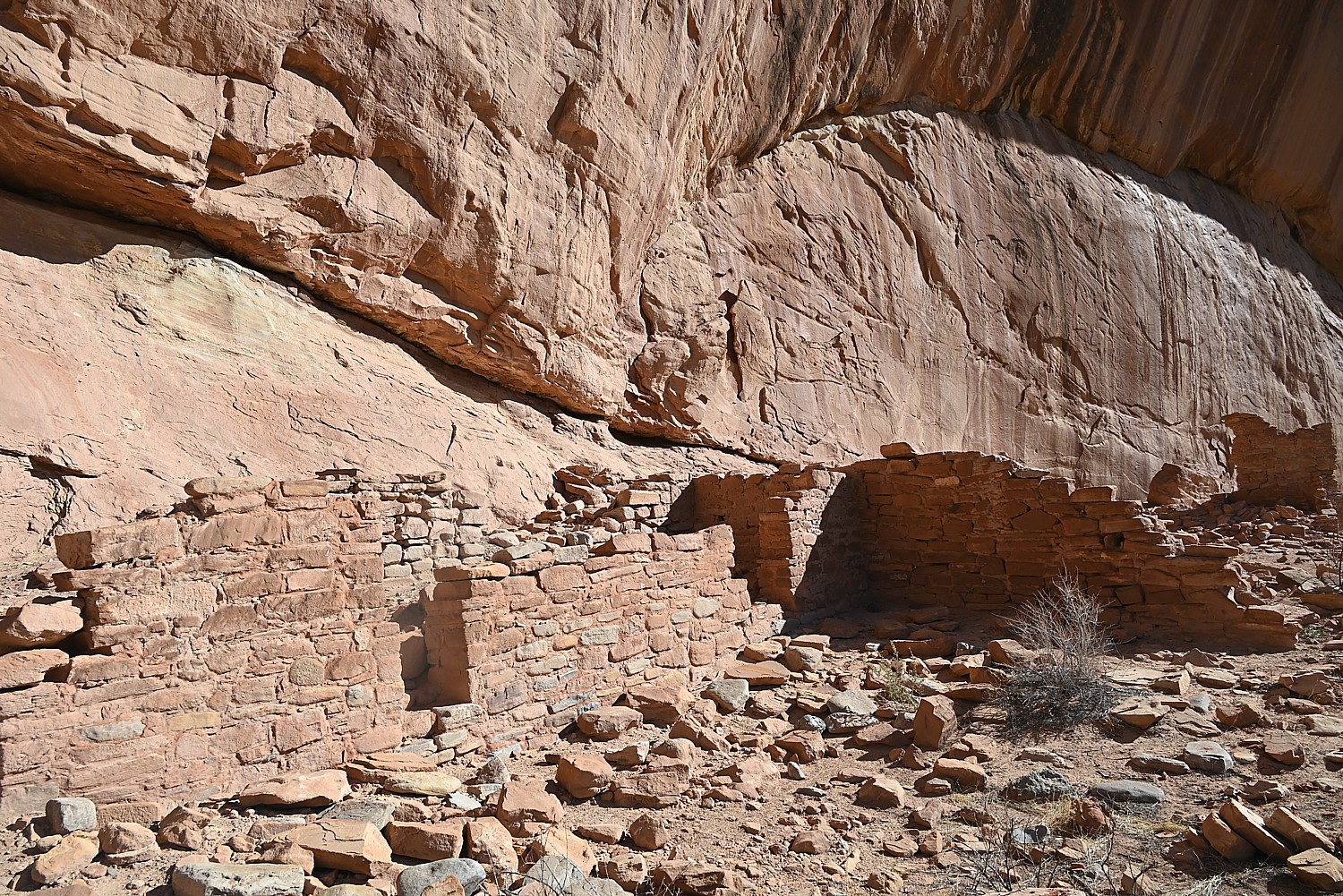
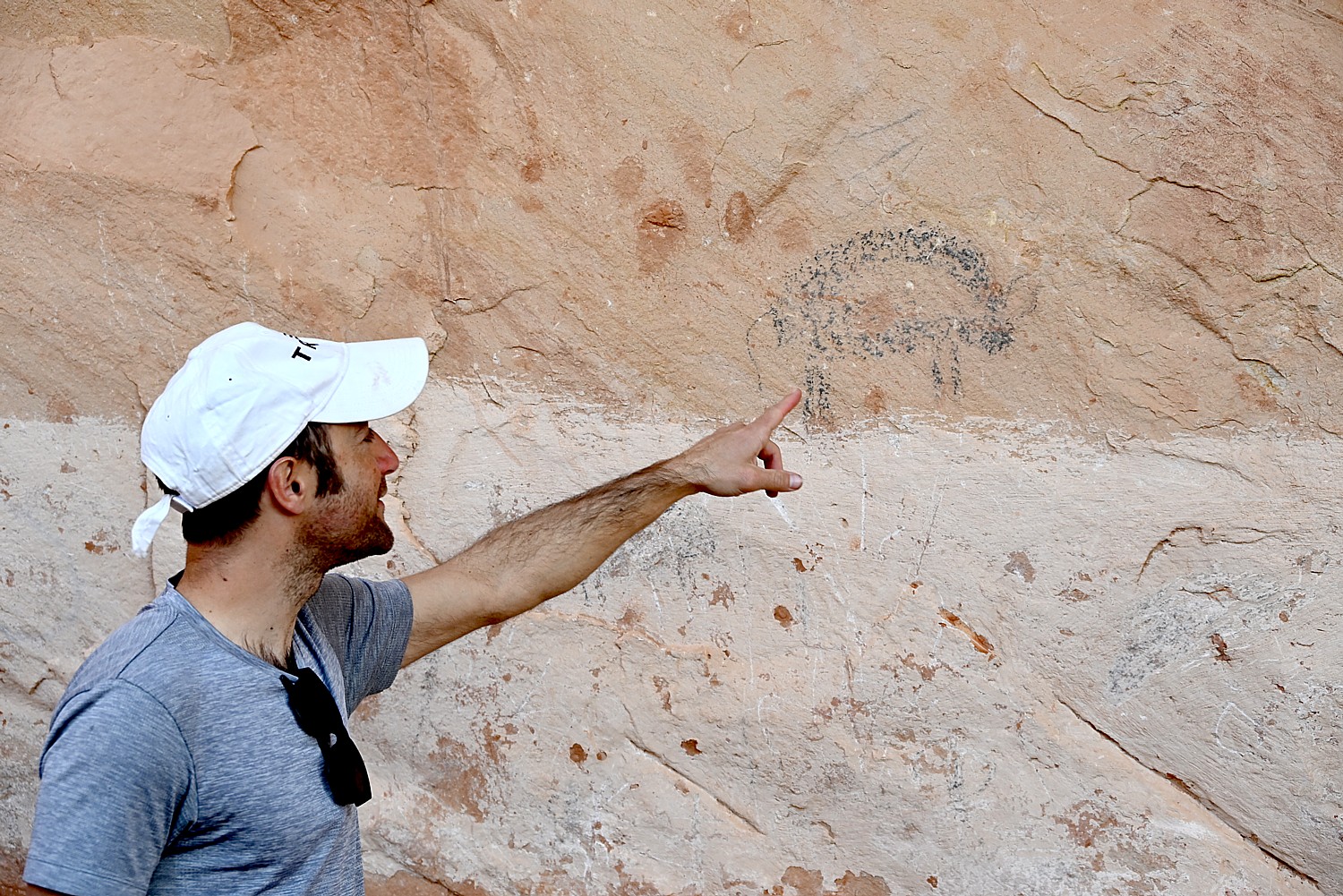
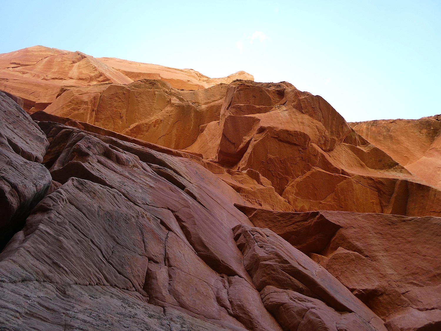
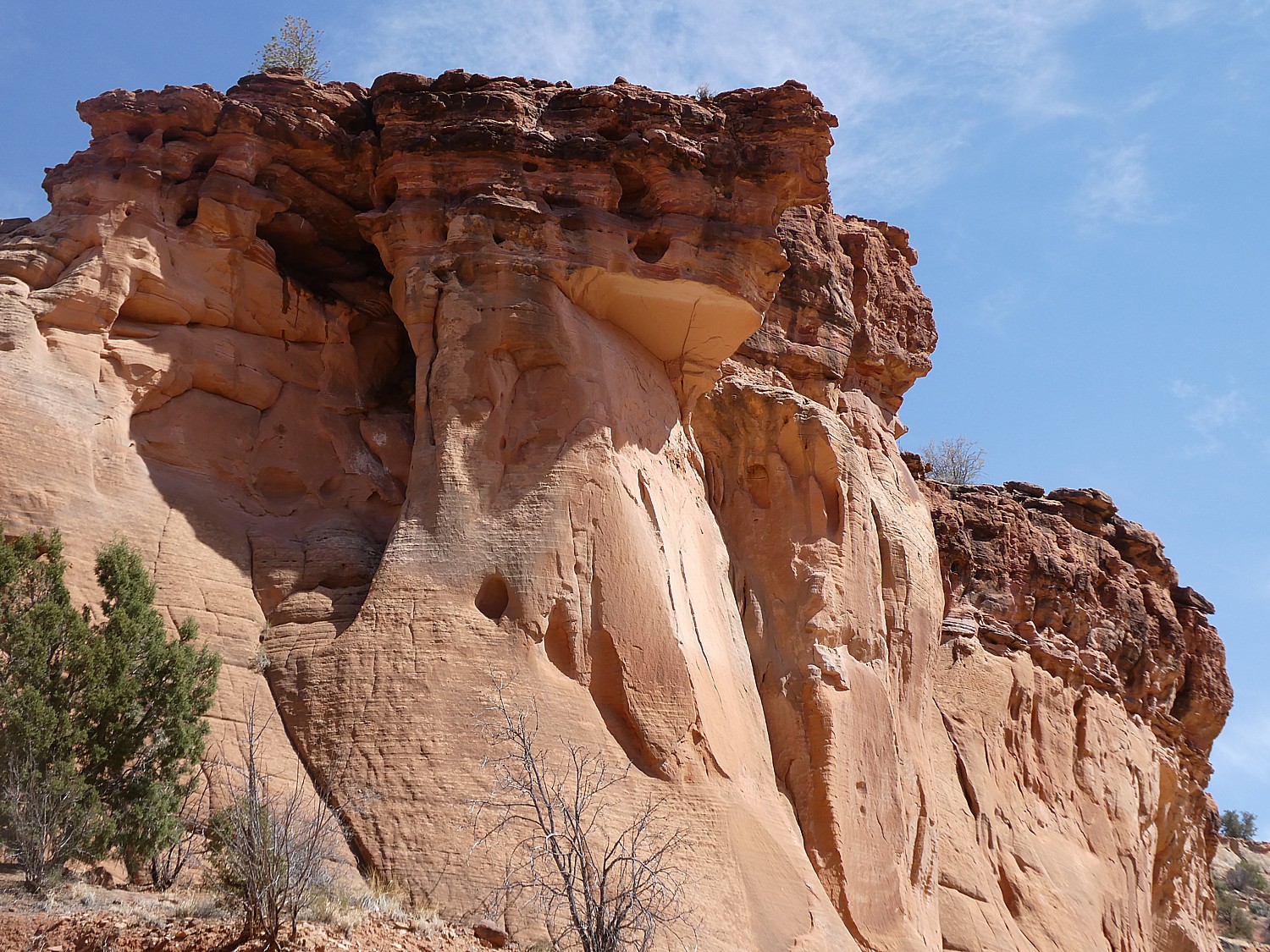
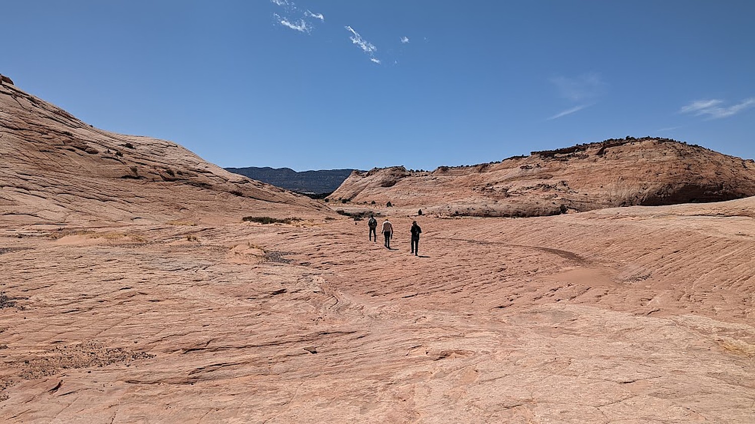
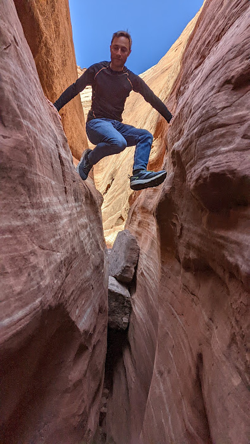
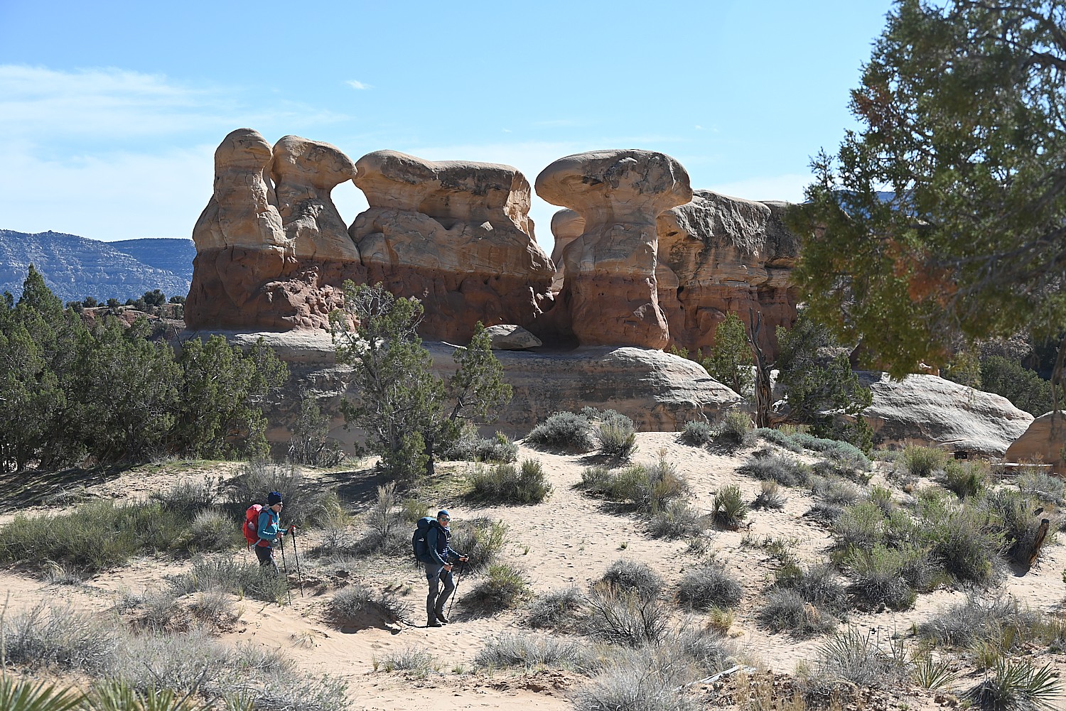
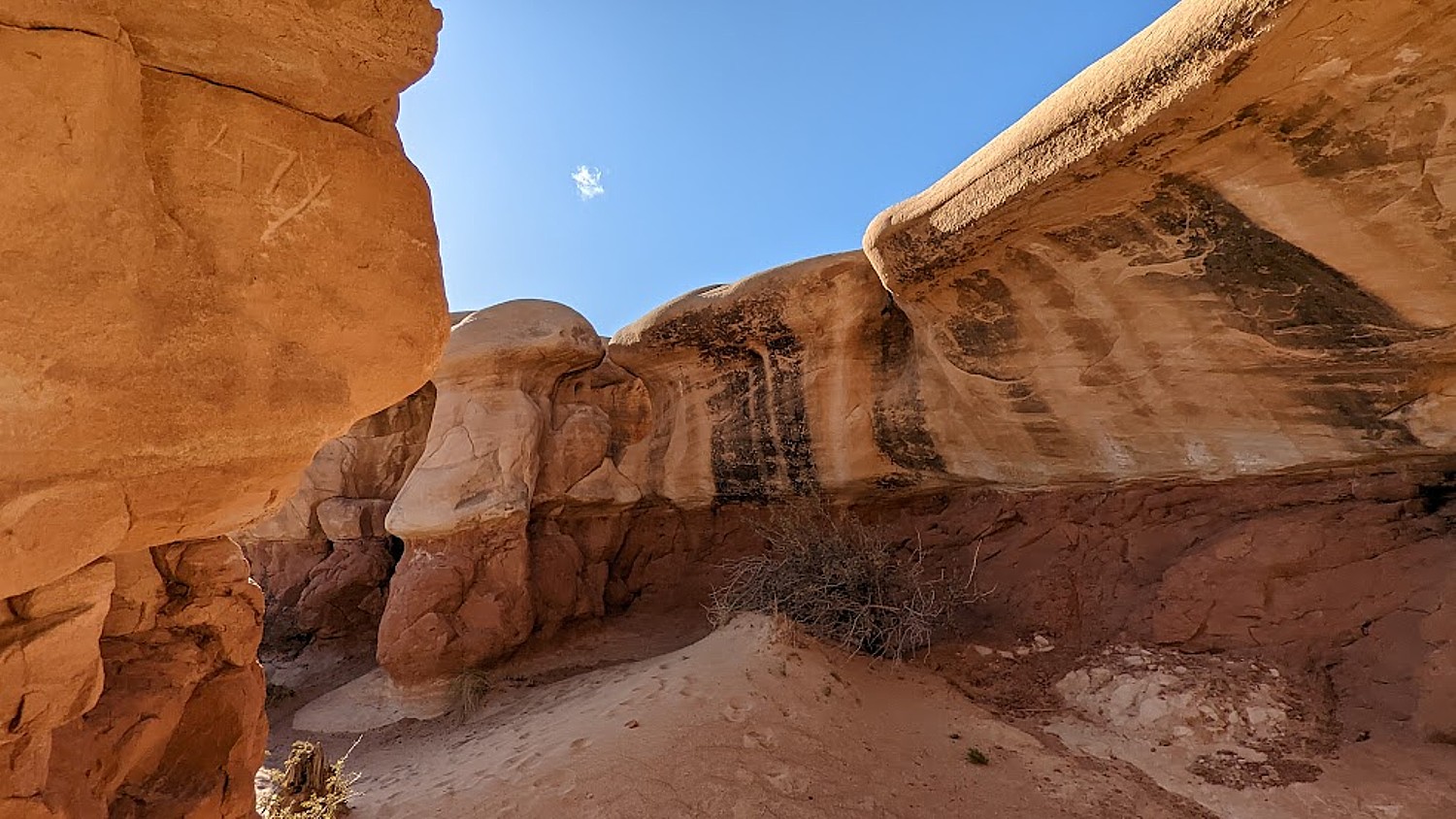
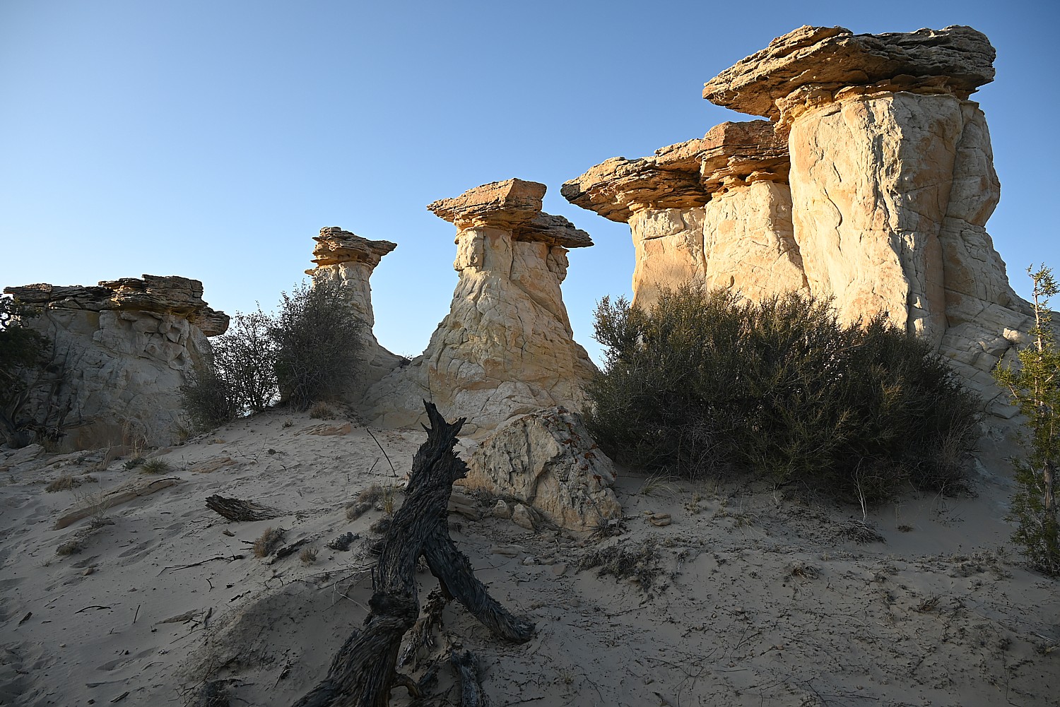
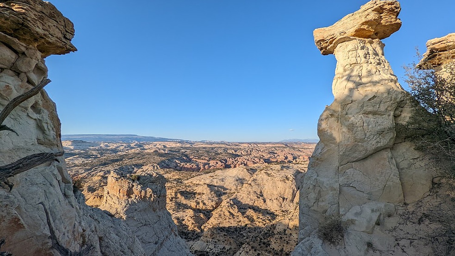
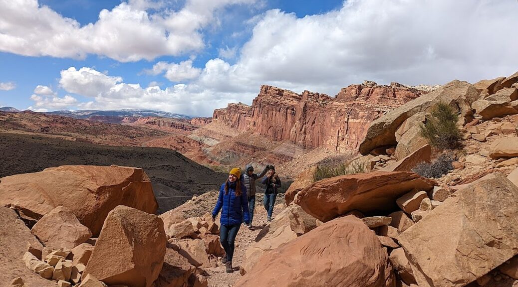
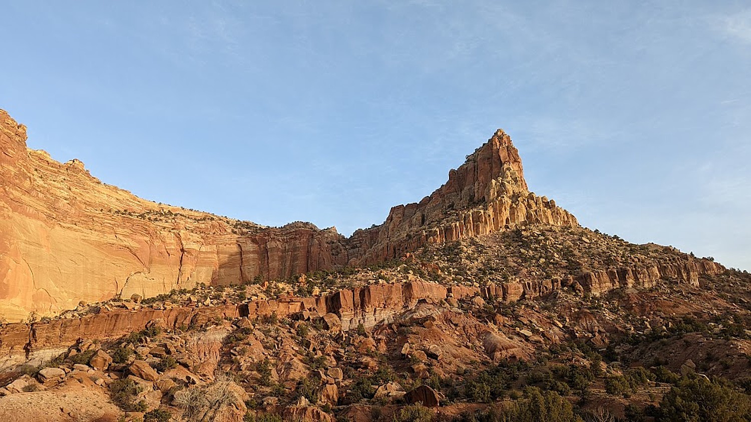
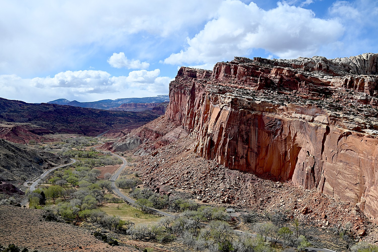
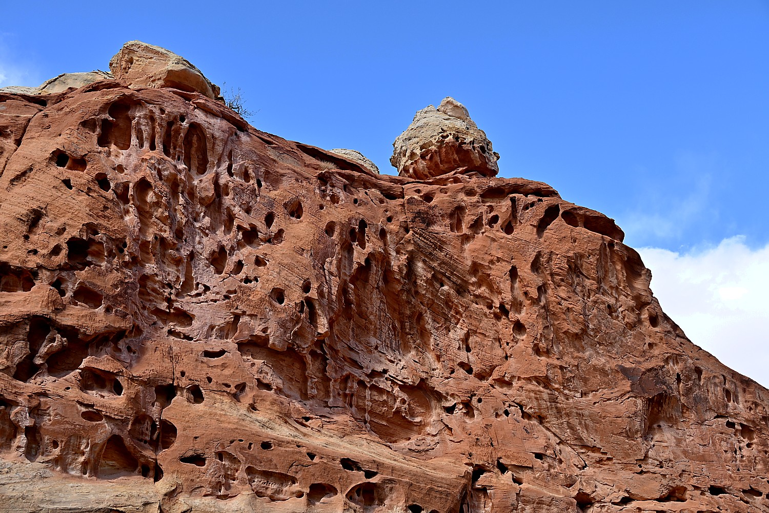
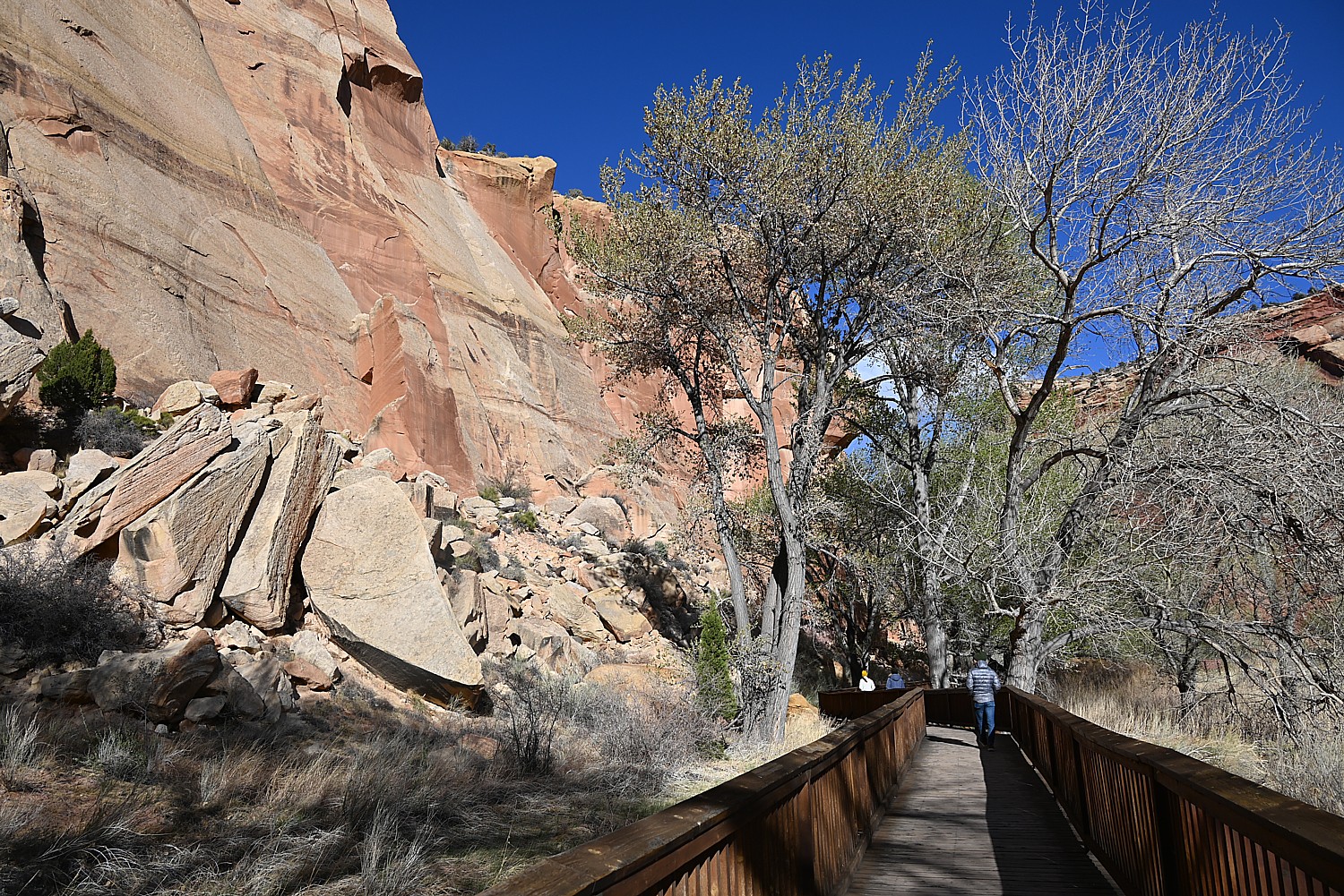
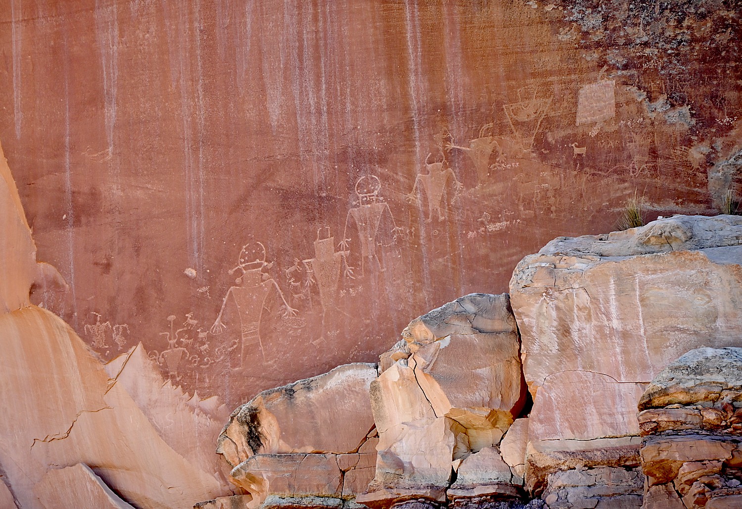
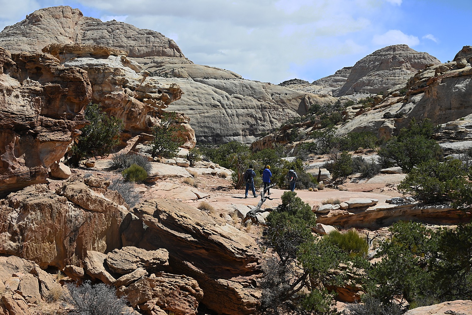
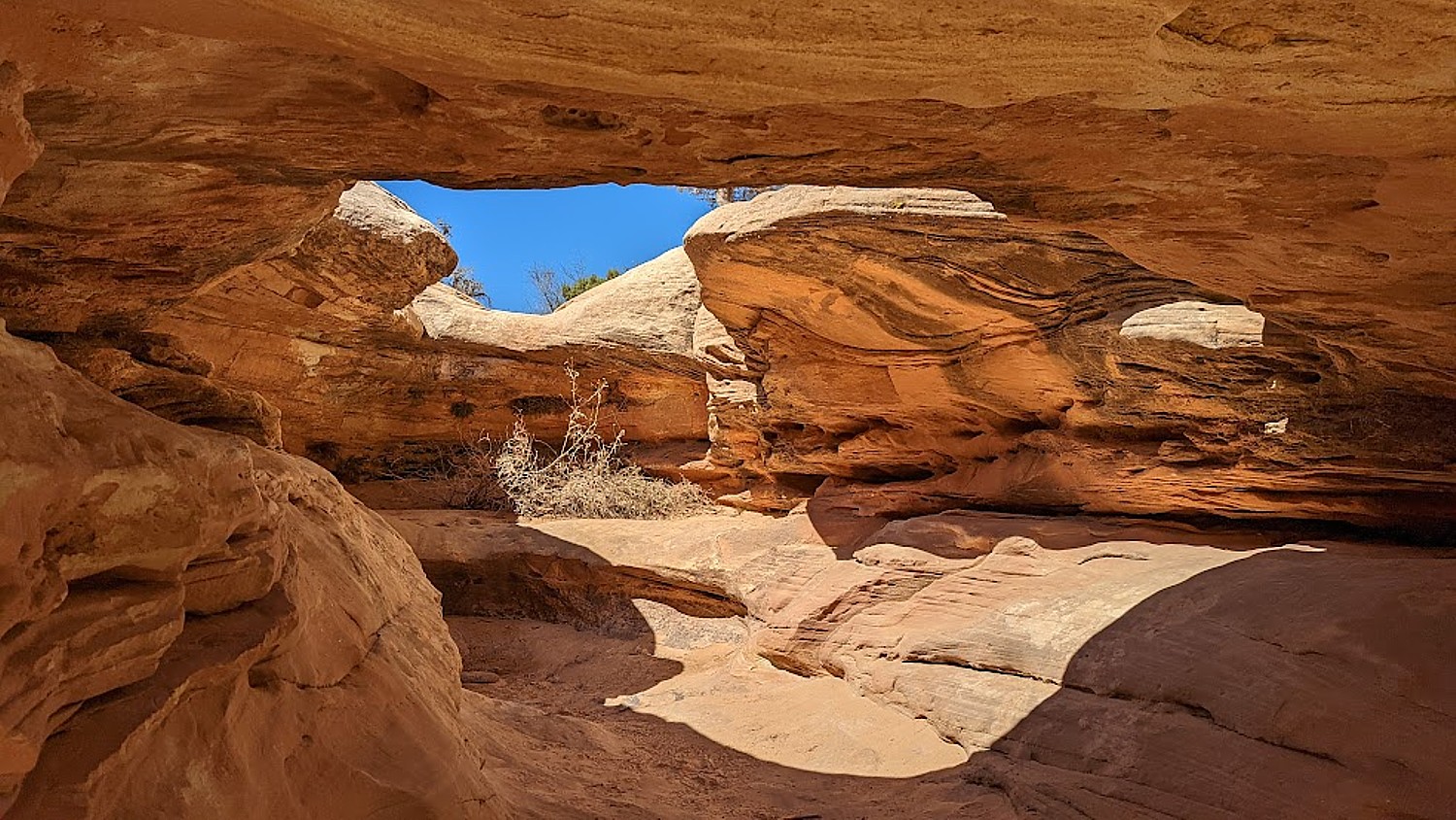
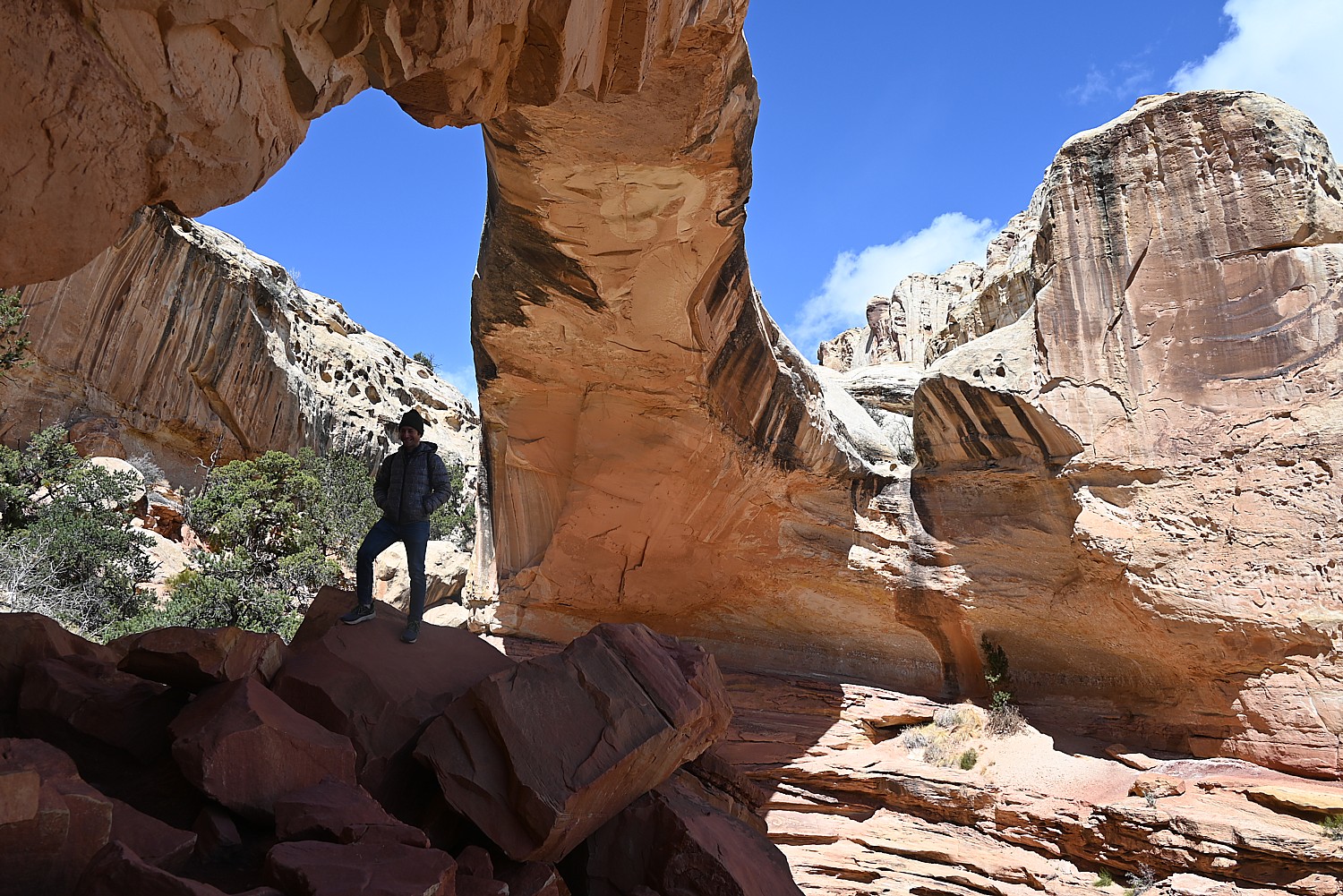
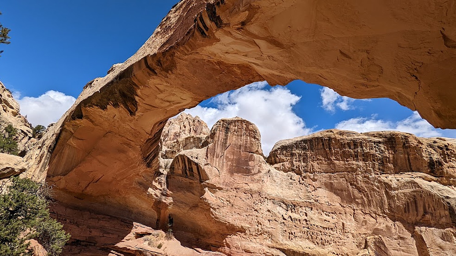
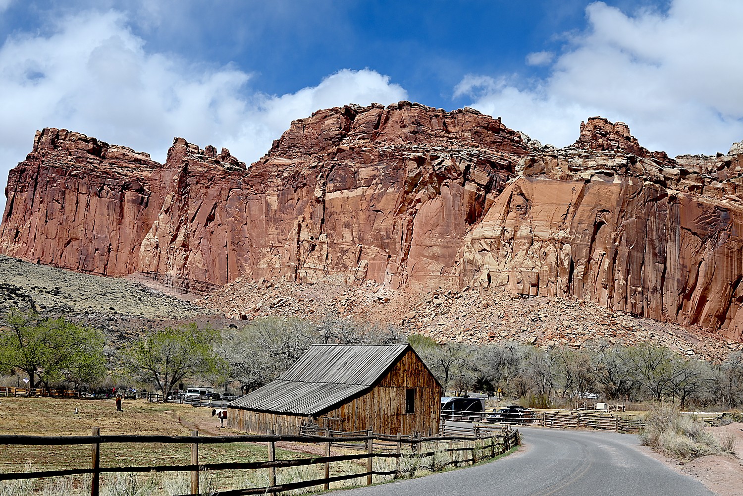
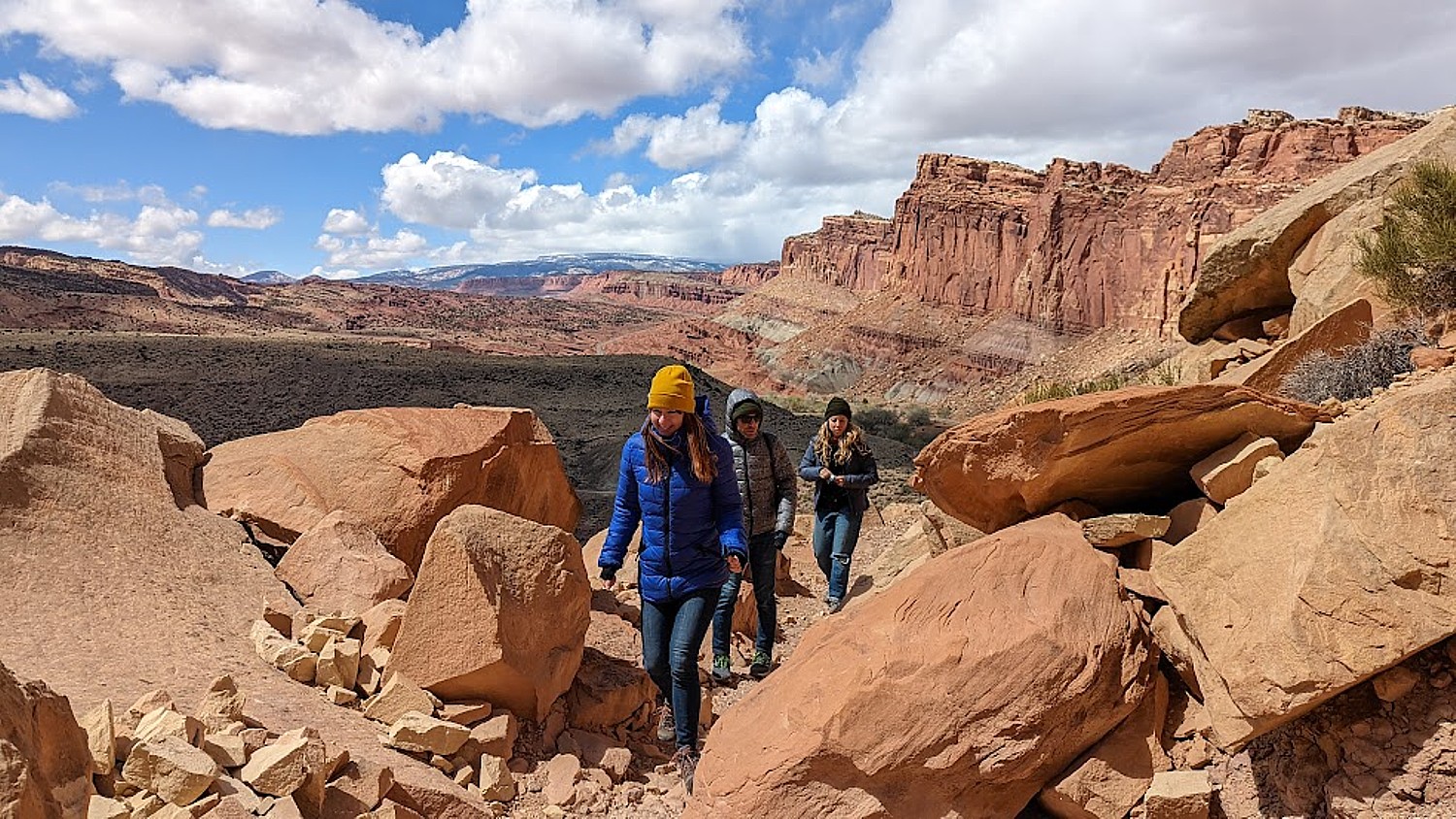
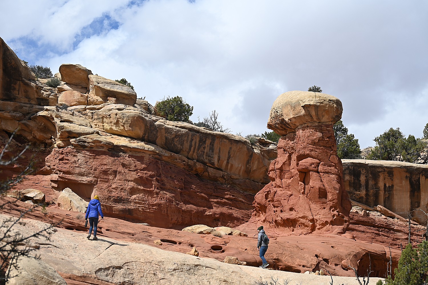
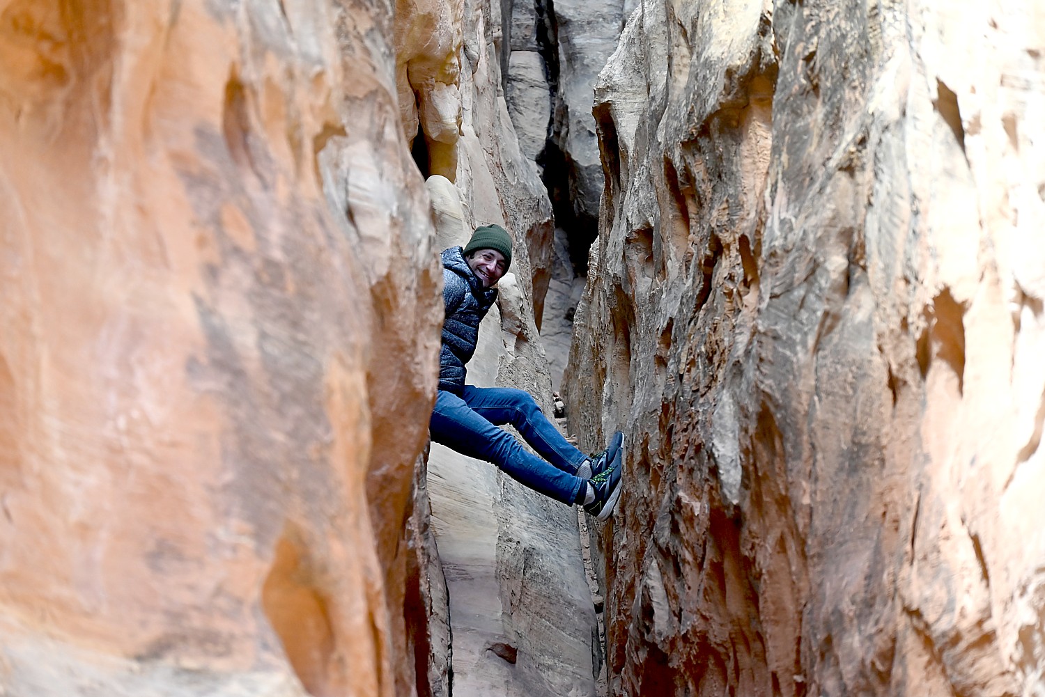
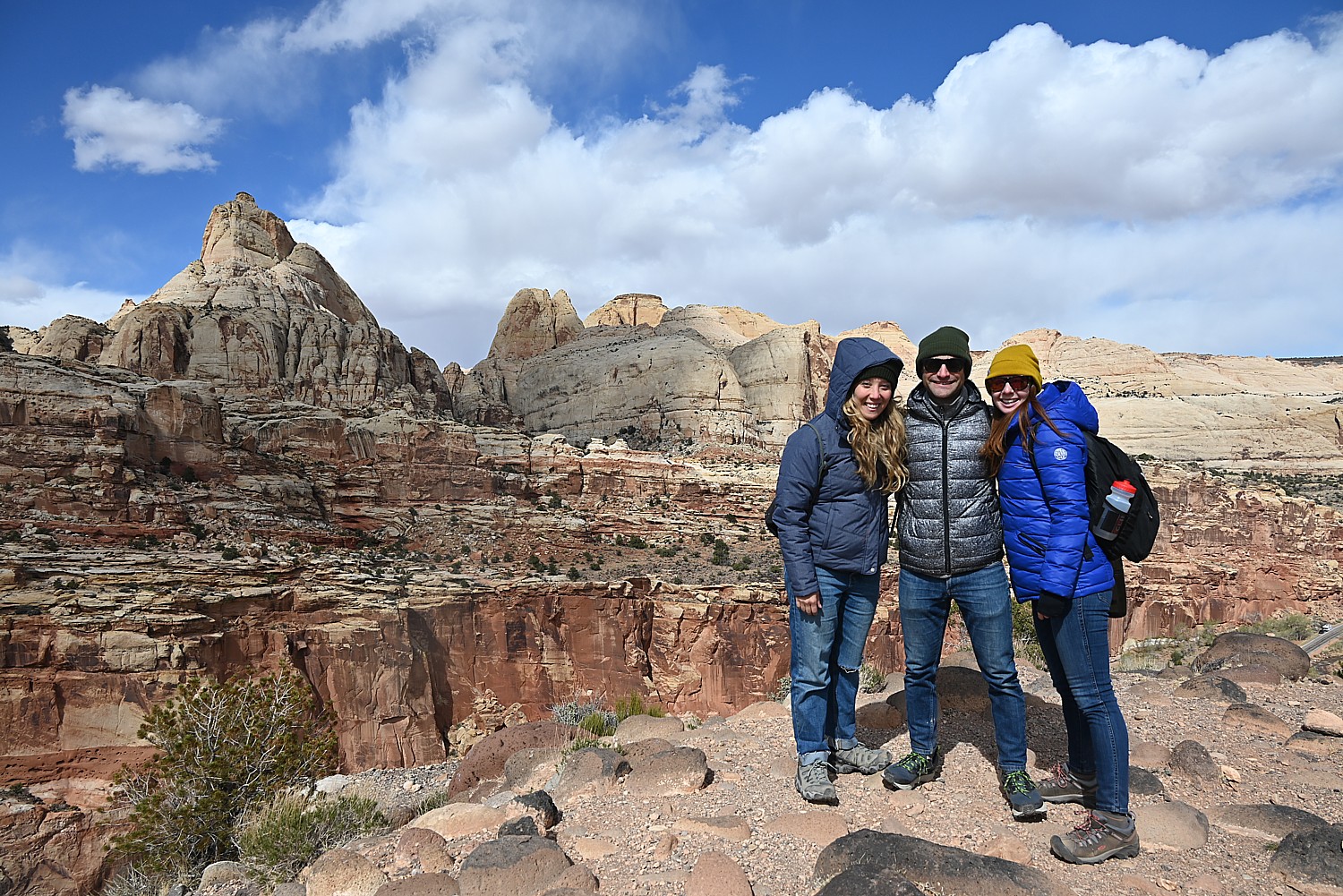
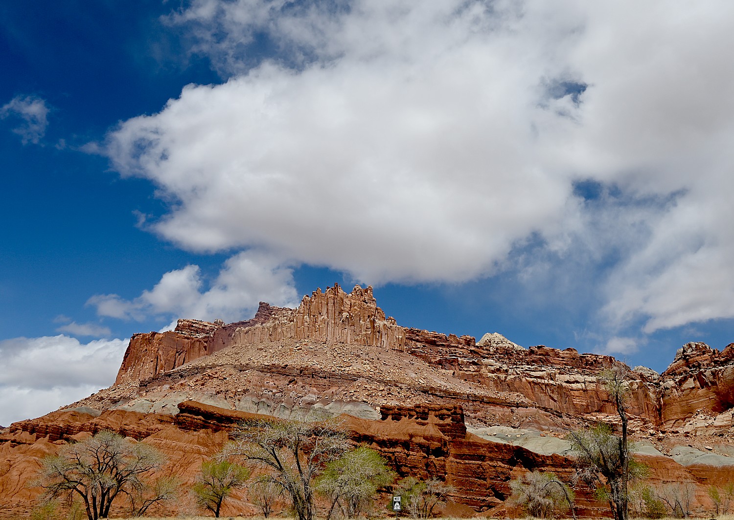
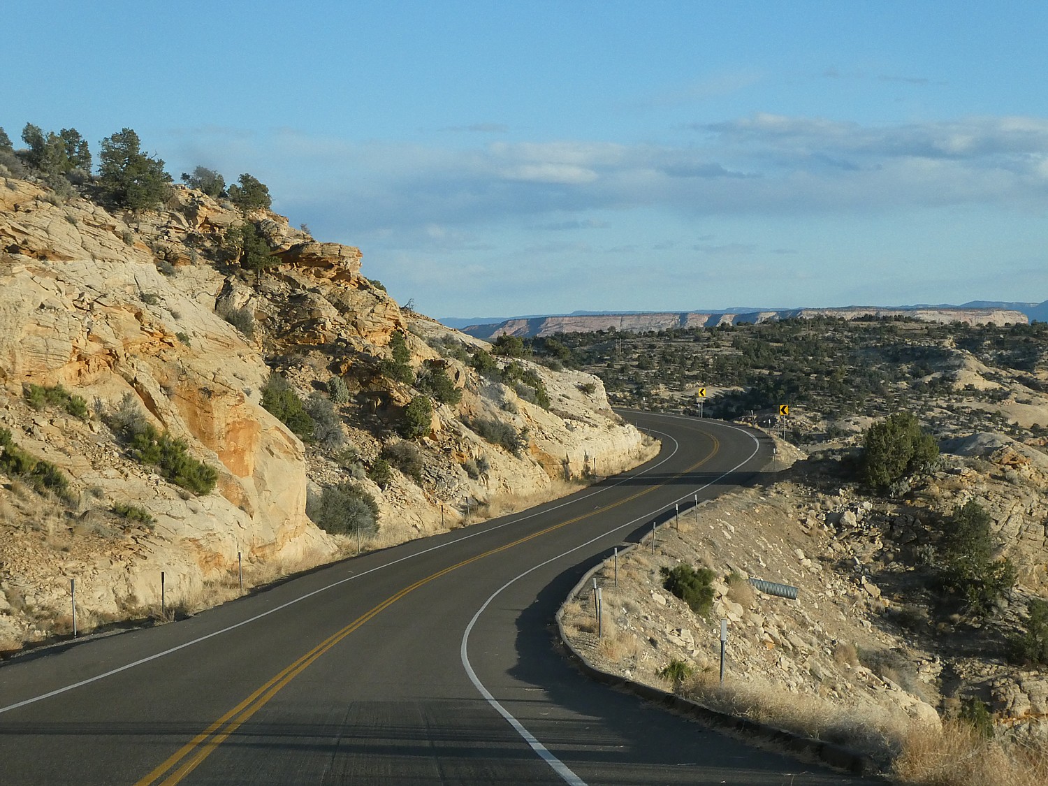
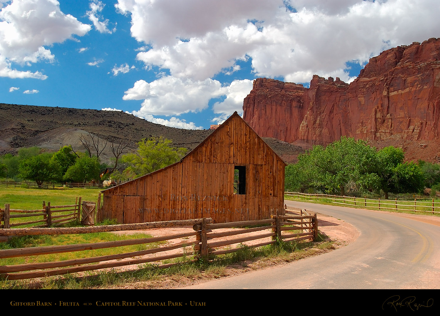
1. Central Utah Backcountry Cycling: Central Utah has one of the largest stretches of true backcountry left in the nation. Escape Adventures’ six-day cycling tour goes eastward through contrasting desert scenery and high alpine forests along Utah Highway 12 (one of America’s most scenic highways) to Capitol Reef National Park. (https://escapeadventures.com/tour/utah-escalante-and-capitol-reef-national-park-road-bike-tour/)

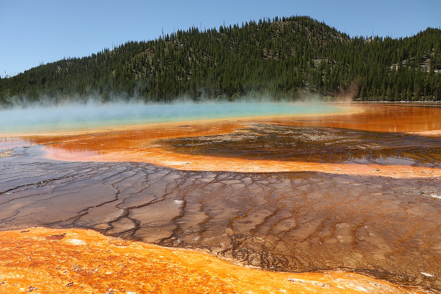
2. Yellowstone Ranch Getaway: Get away and give back during a stay at the historic O.T.O. Dude Ranch on the edge of Yellowstone National Park. Montana’s first dude ranch offers classic adventures like hiking, horseback riding, fly-fishing, archery, sport shooting and more, as well as locally inspired cuisine and cozy cabins. Proceeds from every stay go to preservation efforts at the National Register of Historic Places-listed ranch. (https://trueranchcollection.com/yellowstone-pop-up/)

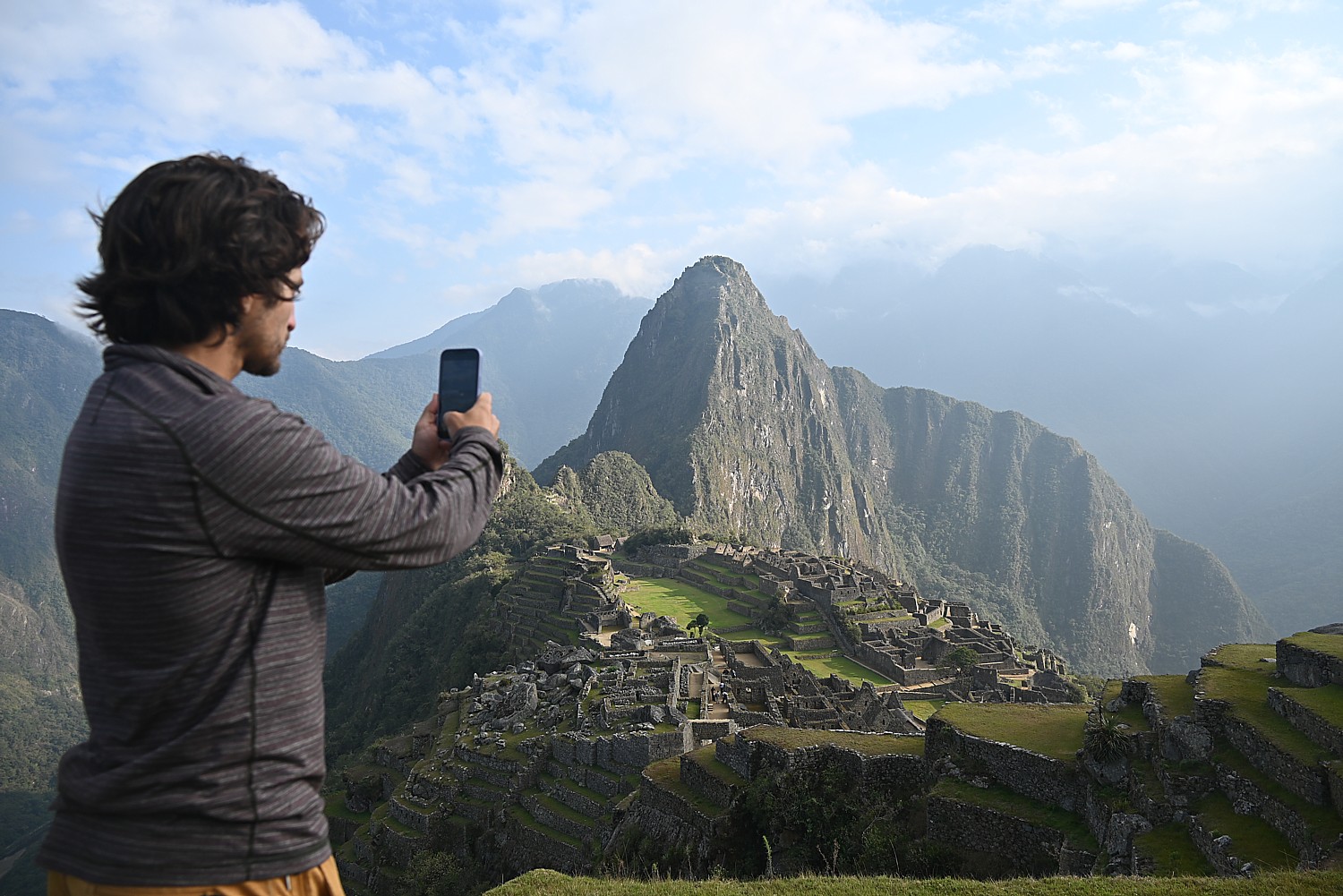
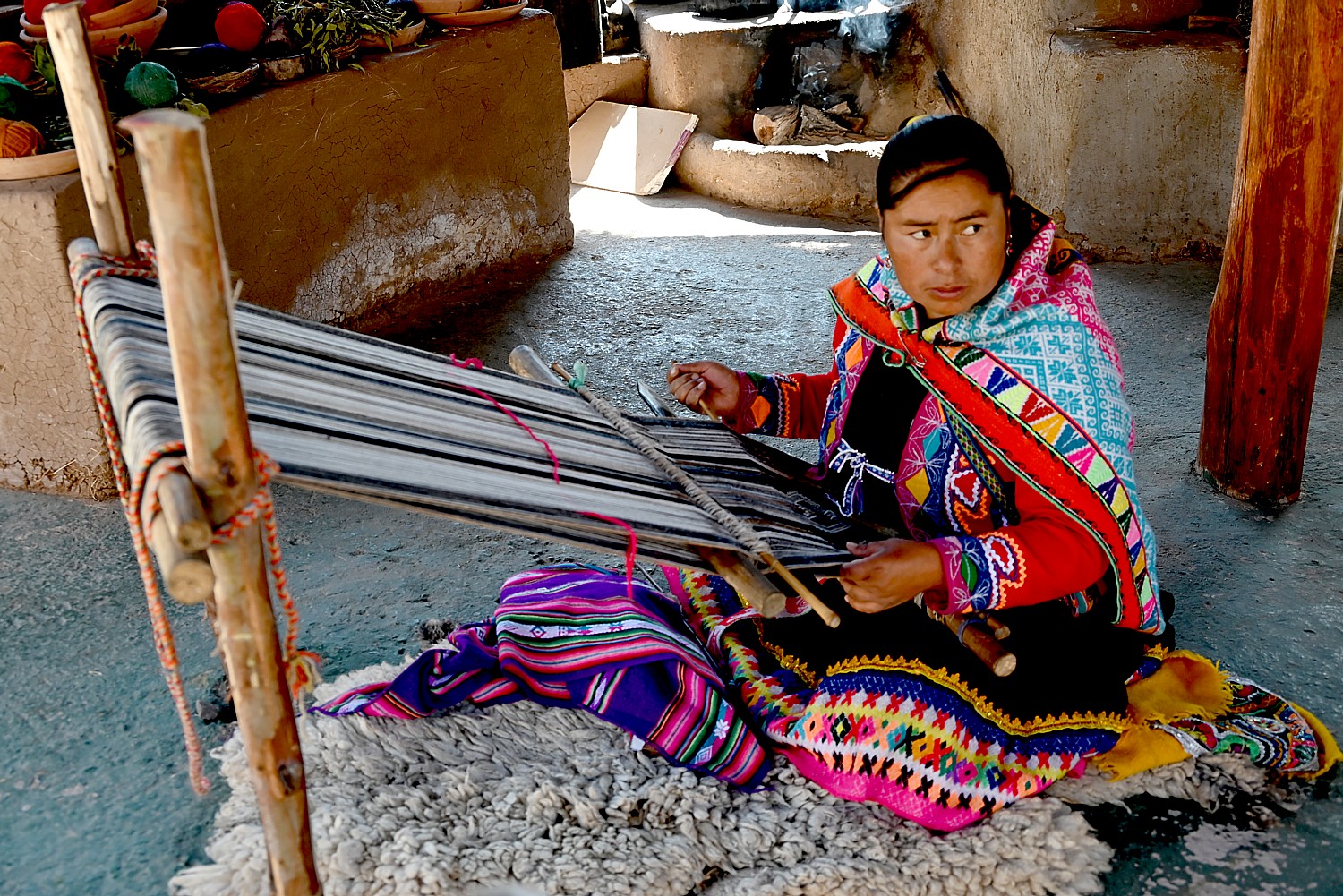
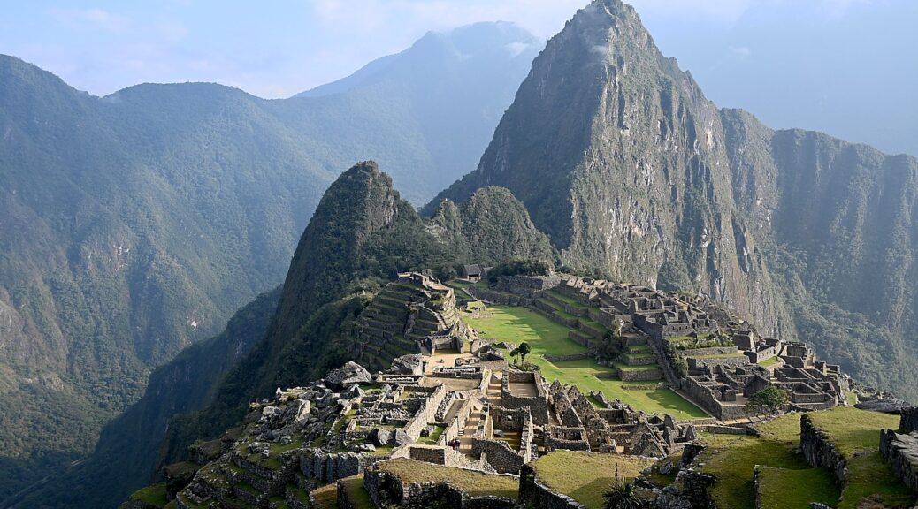
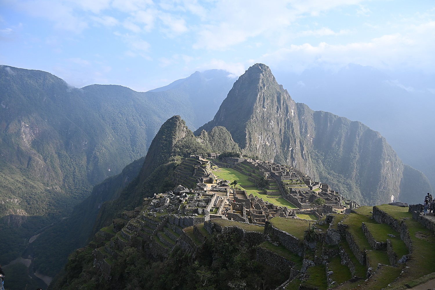
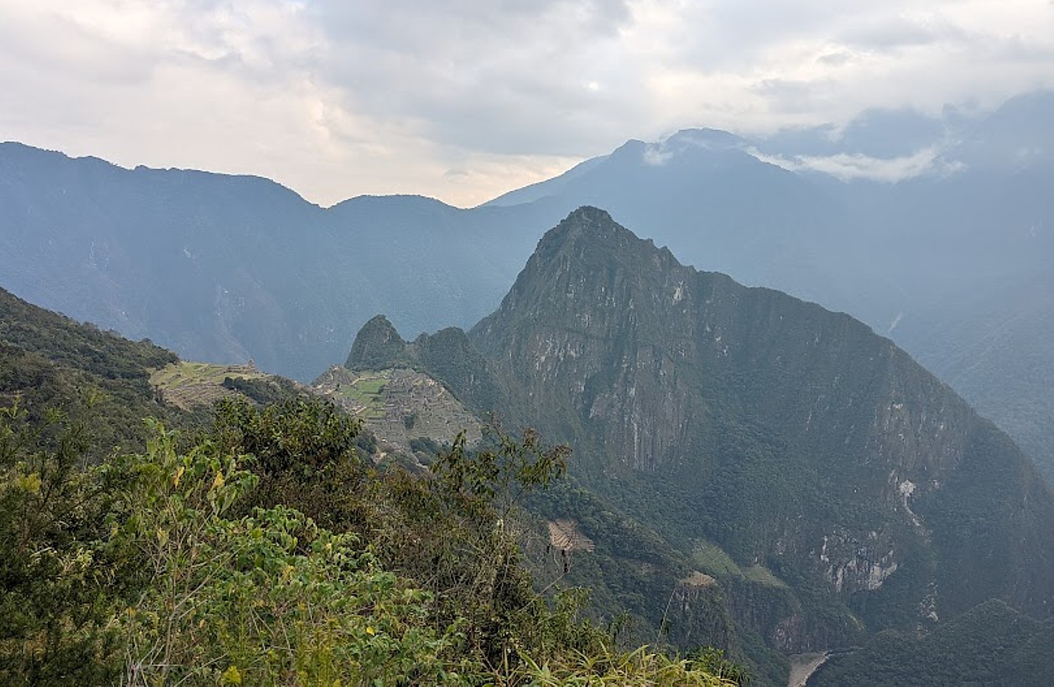
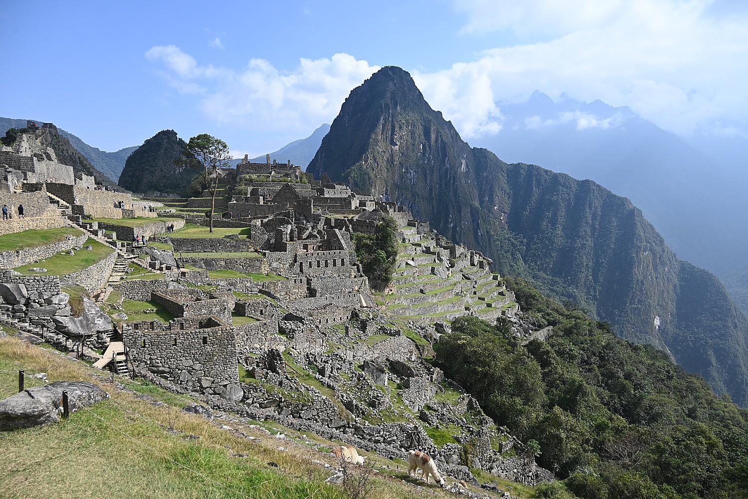
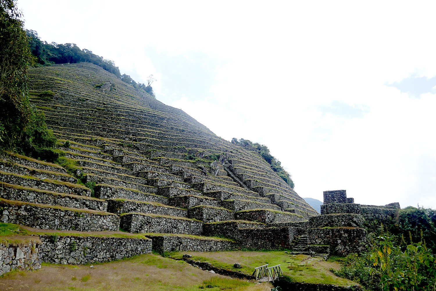
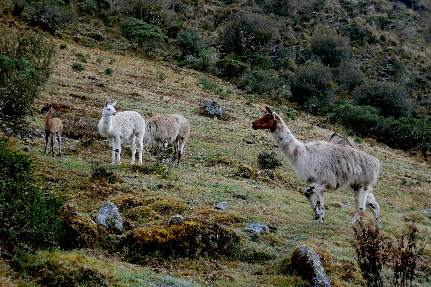
3. Galapagos, Andes + Amazon: Discover the enchanting Galapagos Islands at Scalesia Galapagos Lodge, explore the Amazon Rainforest at Sacha Lodge and experience the Ecuadorian Andes at Hacienda Piman, all in a 15-day tour. Learn about endemic flora and fauna, hike near active volcanoes, paddle tannin-rich blackwater creeks and explore the highlands of the Andes. (https://www.sachalodge.com/programs/#galapagos-programs)

4. Wine + Bike Piedmont: The Langa and Monferrato regions of Piedmont are in one of the most important wine production areas in Italy and received UNESCO World Heritage status in 2014. Tourissimo’s Piedmont Barolo cycling tour takes you into the heart of these regions, over rolling hills covered with vineyards and past ancient castles and hidden hilltop hamlets. (https://www.tourissimo.travel/piedmont-wine-region-cycling-tour)

The amazement of seeing the Grand Prismatic at Yellowstone National Park © Karen Rubin/goingplacesfarandnear.com

5. Jackson Hole Glamping: Fireside Resort offers luxuriously outfitted tiny house rental units designed by Wheelhaus a short distance from Grand Teton National Park, making it the perfect basecamp for summer adventures. Experience whitewater rafting, hiking through the Tetons and revel in the wonder of Yellowstone National Park’s geothermal features. (https://www.firesidejacksonhole.com/)

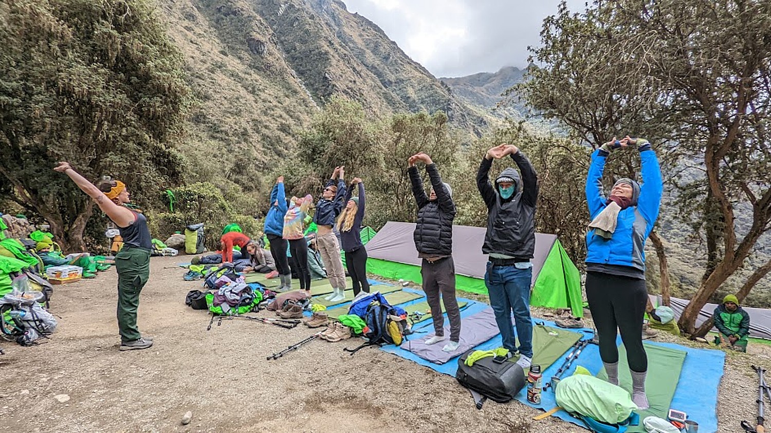
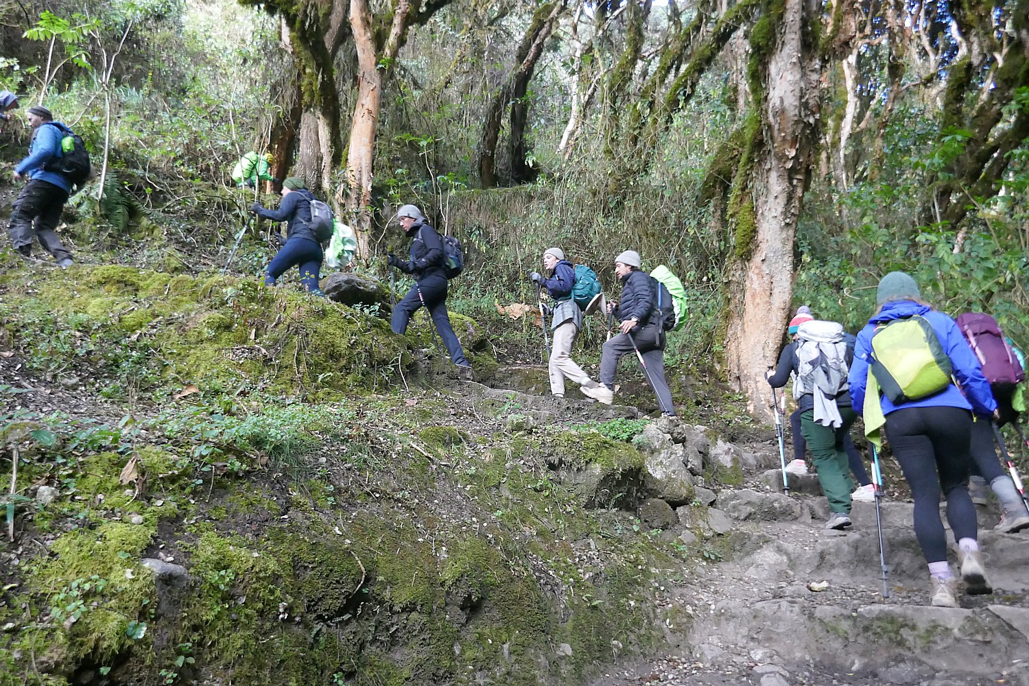
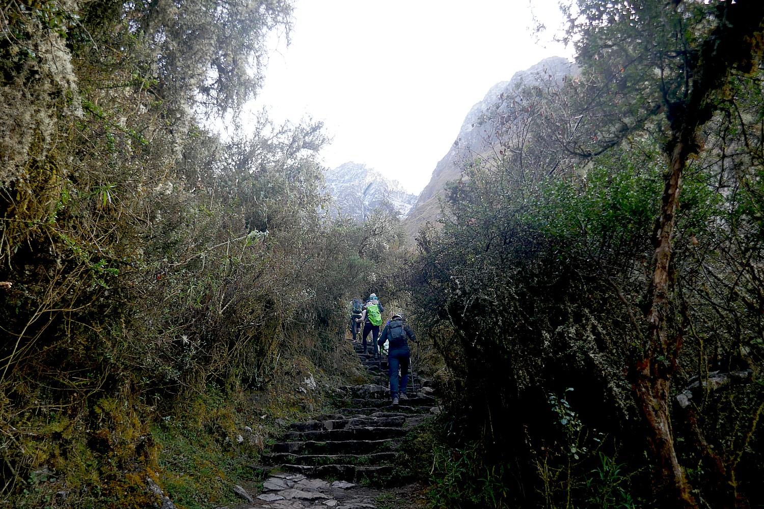
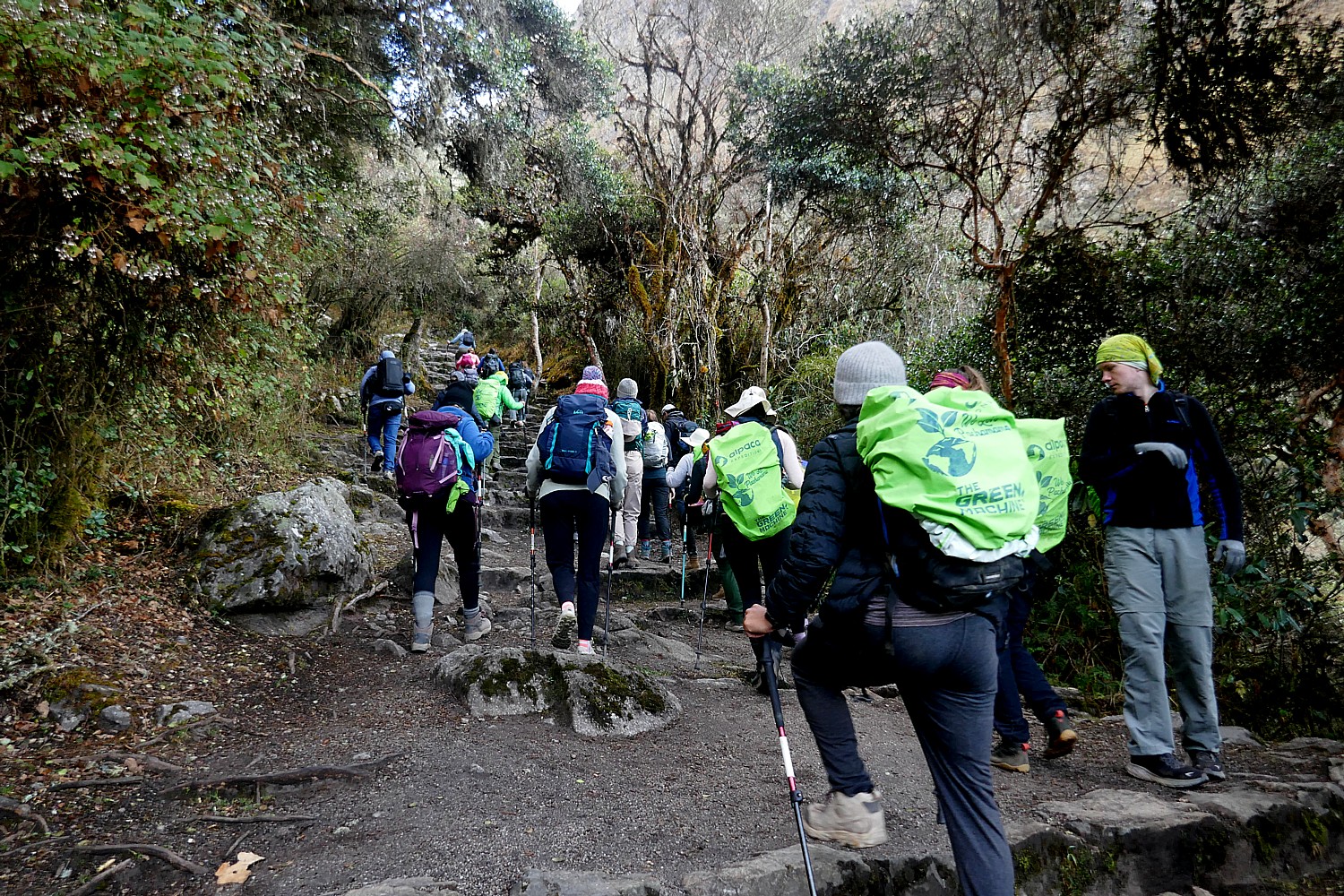
6. North Cascades Traverse: A new five-day trip from Wildland Trekking combines iconic North Cascades National Park backpacking and a stay at a remote lodge with no road access on Washington’s Lake Chelan. Backpack over alpine passes and through pristine wilderness to the lodge, then hike to views of the Stehekin Valley before returning to civilization by boat. (https://wildlandtrekking.com/trips/stehekin-lodge-backpacking-trip/)

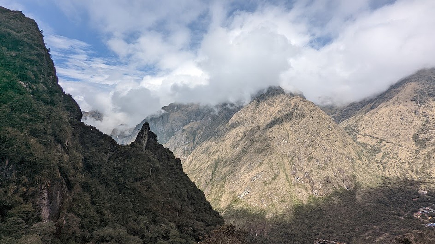
7. Patagonia Fjords Cruise: Book a nine-day voyage through Chilean Patagonia with Adventure Life and set sail among stunning fjords, islands, glaciers, peaks and wildlife. Visit Puerto Cisnes, San Rafael Bay and Glacier, the Gulf of Penas, the isolated village of Puerto Eden, the Strait of Magellan, Tierra del Fuego and the Beagle Channel, ending in Ushuaia, Argentina. (https://www.adventure-life.com/patagonia/cruises/17283/patagonia-chilean-fjords)

Go whitewater rafting in Big Sky, Montana © Karen Rubin/goingplacesfarandnear.com

8. Big Sky Summer Fun: A stay at The Wilson Hotel in Big Sky, Montana, offers proximity to Yellowstone National Park’s natural wonders and wildlife, plus opportunities to hike through shaded forests and wildflower-filled meadows, float or fly fish clear, cool waters, experience the adrenaline rush of lift-served mountain biking. (https://thewilsonhotel.com/)

9. National Parks RV Trip: Blacksford rents fully stocked Mercedes-Benz Sprinter overland adventure vehicles from Winnebago with an all-inclusive pricing model that includes unlimited miles, bedding, kitchen and bath supplies, a free annual pass to the national parks, 24-hour roadside assistance and no generator fees. (https://www.blacksford.com/)

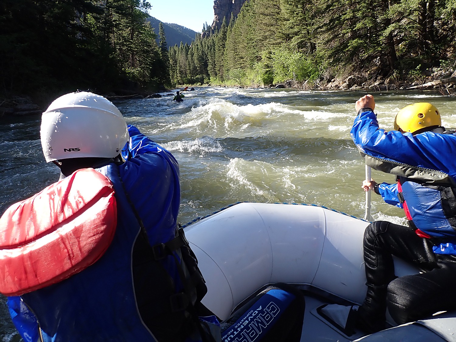
10. Yellowstone Family Rafting and Riding: This three-day whitewater rafting and horseback-riding package from Flying Pig Adventures offers families the opportunity to experience the Yellowstone National Park area like never before. The thrill of witnessing one of nature’s most iconic environments, tackling rough terrain on horseback and running class III rapids cannot be found anywhere else. (https://www.flyingpigrafting.com/3-day-yellowstone-adventure)

Looking for more adventure? Check out the itineraries in the U.S. from REI Adventure Travel (rei.com, 800-622-2236) and G Adventures (gadventures.com, 888-800-4100).
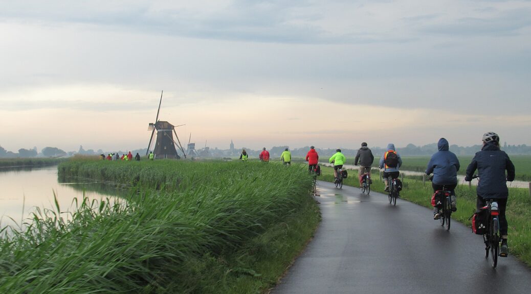
Biking Holidays

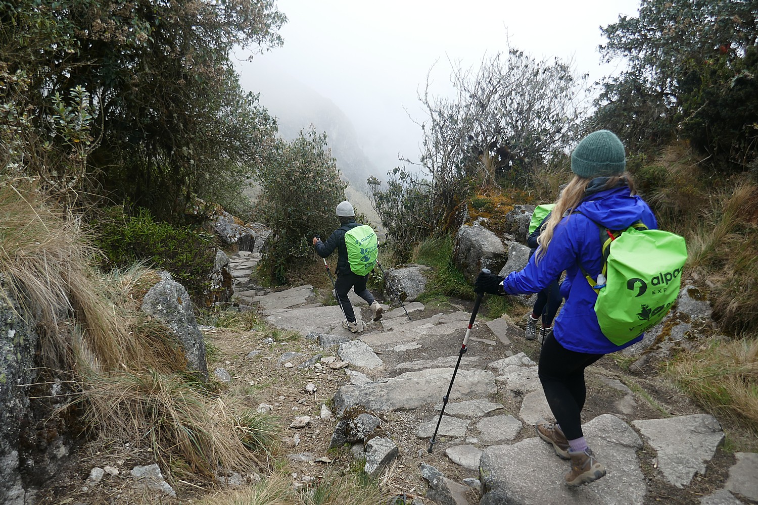
Biking trips are my favorite for the combination of experiences they offer: seeing destinations close-hand, most often off-the-beaten track out of busy urban areas; at a pace where you see a lot and do a lot but slow enough to really see and do; where there is a physical and emotional satisfaction having pedaled the distance.

Operators today offer guided tours (ideal for solo travelers) as well as self-guided (where they give you the route, the inns or hotels, and ferry your luggage point to point but you are on your own) all over the world. And don’t be deterred by concern for the distance or the hills – many operators offer e-bikes as an option.

Bike the scenic Bruges-Amsterdam route and stay on a boat, with Boat Bike Tours © Karen Rubin/goingplacesfarandnear.com

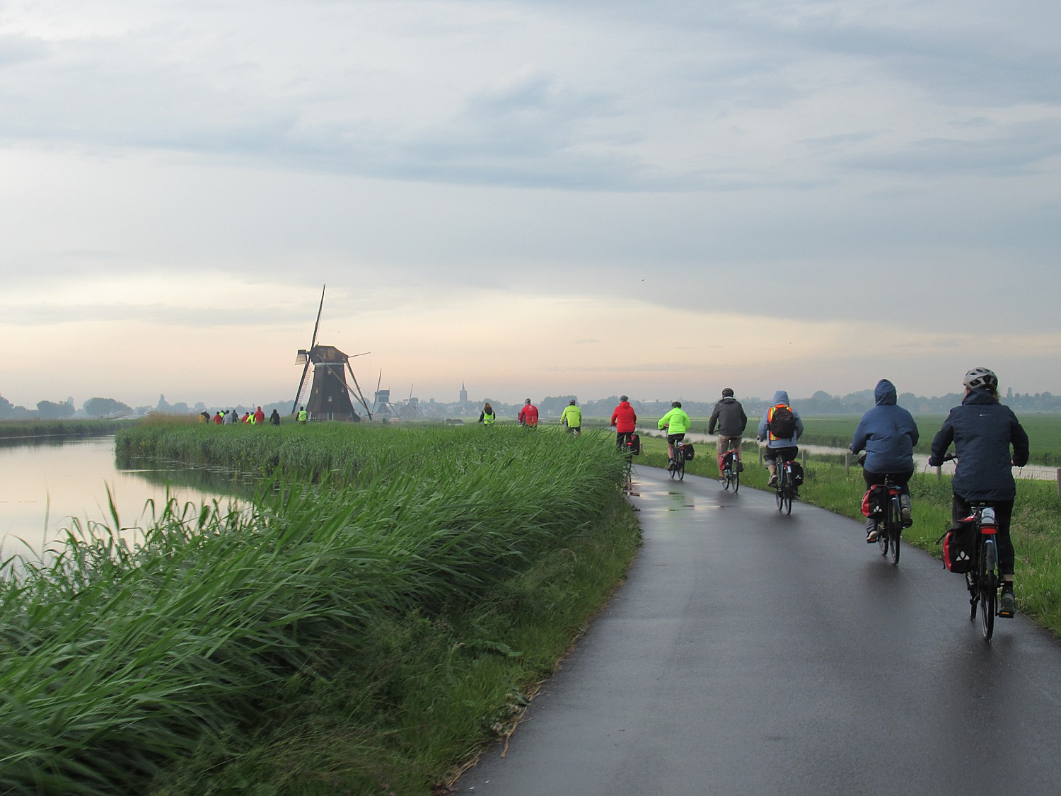
Boat Bike Tours, based in Amsterdam, (we took their Bruges-Amsterdam tour last summer) offers a selection of itineraries in Holland, but also the region, and in addition to boat-bike trips, have sail-bike trips, and cities and nature tours (US tel.203-814-1249
 [email protected], www.boatbiketours.com).

Discovery Bicycle Tours (we took their Maine Coastal trip, and this year their Quebec Eastern Townships) has a long list of cycling vacations in the United States (Idaho Trails tour is one of its most popular), Canada, Europe, Vietnam, Cambodia, New Zealand & Chile including one that is particularly interesting to me, England: Cotswolds & Stonehenge Bike Tour. As we write this, there were still spaces left on Lake Champlain Islands, Empire State Trail, Stowe Bike & Brew Weekend, Minnesota Rail Trails, Washington Cascades Trails, Idaho Trails departures,  ([email protected], 800-257-2226, discoverybicycletours.com).

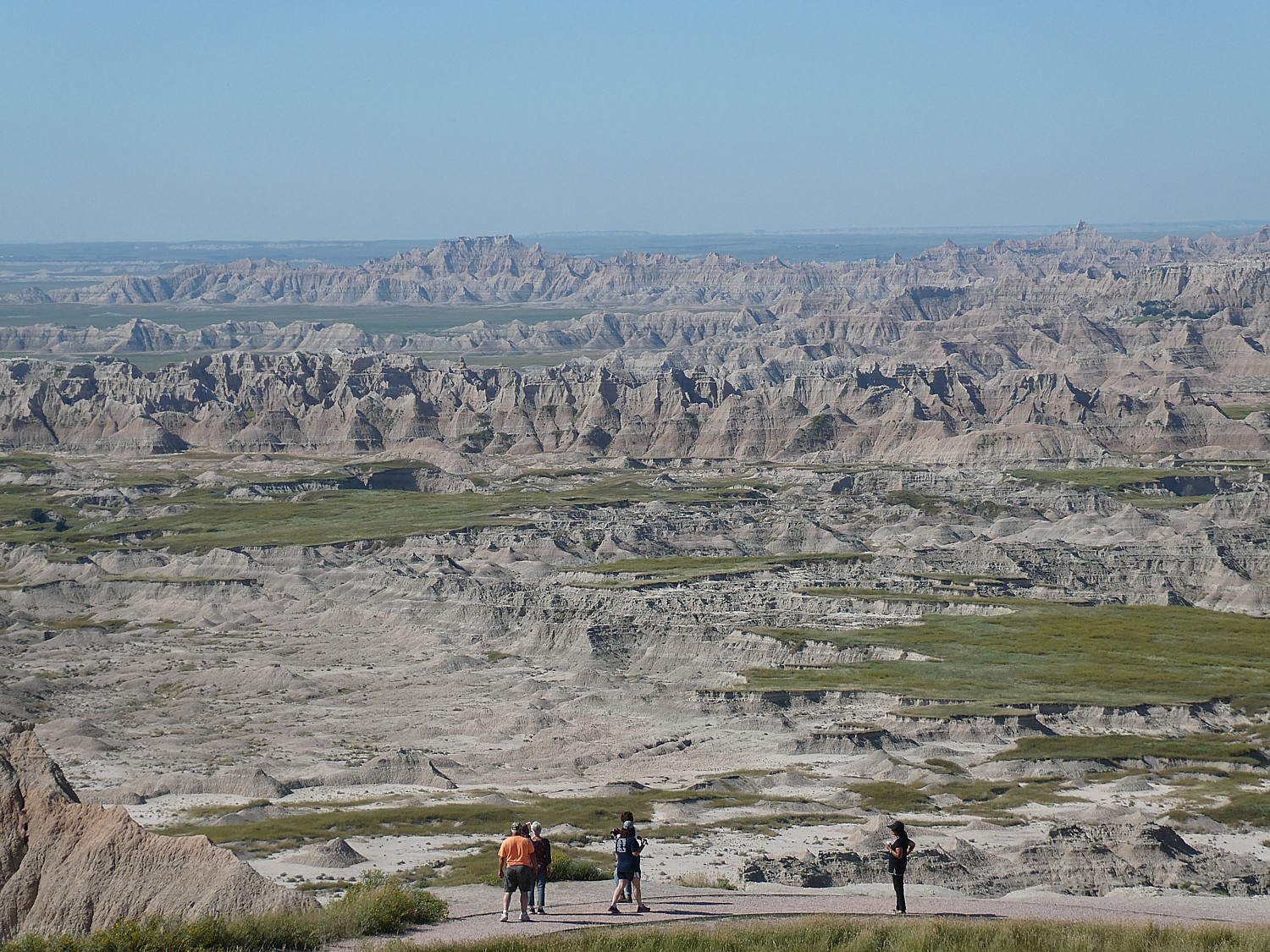
Wilderness Voyageurs (traveled with them on their Mickelson Trail & The Badlands Bike Tour in South Dakota; they’ve introduced tours on New York’s own Empire State Trail bike tour as well as Olympic Peninsula bike tour in Washington State), plus New Mexico, , [email protected], 724.329.1000, 800.272.4141, wilderness-voyageurs.com)

Biking through Badlands National Park, South Dakota, with Wilderness Voyageurs © Karen Rubin/goingplacesfarandnear.com

BikeTours.com specializes in European itineraries, including guided, self-guided, and boat-and-bike tours, with excellent value. Among the more unusual is the UNESCO Sites of Albania (which I took some years ago with an e-bike); active tours like Southern Fyn: A Tour Around Denmark’s Fairytale Island and Pearls of Dalmatia by Bike and Boat, Romantica and leisure tours like Poland’s Masurian Lake District (Upscale Lodging). BikeTours.com is showcasing six 6 and 7-night self-guided bike tours showcasing Europe’s most beautiful vineyards and wine-growing regions: Rioja: Hidden Spain – Land of Wine, Burgundy Wine Trails: Beaune to Macon on the “Voie Verte”;  German Rivers, Wines & Cycle Paths by Bike and Boat; Wine & Bike in Hungary’s Balaton Uplands; Croatian Vineyards and Villages of Undiscovered Istria;  Tuscan Wine Classic: Pienza to Castellina via Siena. They have also introduced a new series of day trips. (biketours.com, 833-216-0635)

Biking among UNESCO sites in Albania with BikeTours.com (e-bike option recommended) © Karen Rubin/goingplacesfarandnear.com

DuVine Cycling + Adventure Co. is appealing to scholars, curious explorers and lifelong learners on these three bike trips, with every mile imbued with history. Not only do the landscapes of ScotlandNormandy, and the Cotswolds feel frozen-in-time, but each place played a part in shaping the world as we know it—through theaters of war, royal revolutions, ruins of the Roman Empire, and powerful clans and castles. Duvine has an expansive catalog of up-scale bike tours (888 396 5383, duvine.com)

Butterfield & Robinson has always been known for high-end, elegant biking trips. Itineraries include Burgundy Wine Country Biking; Piemonte Wine Country Biking; Chile Wine Country Biking; Vienna to Budapest Wine Country biking; Spanish Wine Country; Tuscany wine Country (seeing a pattern?) (866.551.9090, www.butterfield.com)

Backroads was founded in 1979 by Tom Hale and has been a leading innovator in active and adventure travel every since. Active adventures highlight the special character of each destination. The company offers Biking, Walking & Hiking and Multi-Adventure Tours; Active Ocean & River Cruises, Active Safari, Active Culinary and Snow Adventures; and Dolce Tempo trips for travel at a more relaxed pace. Also Private Trips and Family Trips designed for three distinct age groups: Families with Teens & Kids (best for ages 9+), Families with Older Teens & 20s and Families with Young Adults (backroads.com, 800-462-2848)

Trek Travel is more for hard-core, offering mountain, off-road, gravel trips (Girona, Swiss Alps, Tuscany, Vermont), Ride Camps, and even experience the Women’s Tour de France with VIP race viewings and access to one of the best women’s professional teams, Trek-Segafredo, and get to ride on the route New 3 & 4-day bike tours in places such as San Diego, Santa Barbara and Vermont. Also, self-guided and trips with a boost, e-bike (Croatia, Mallorca Island,Glacier) (trektravel.com, 866-464-8735) 

On the Water

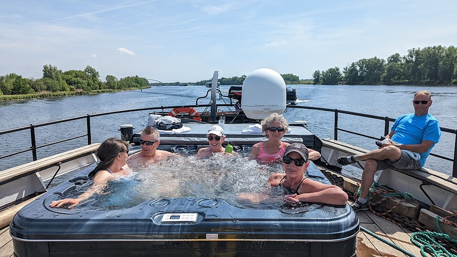
Cruising is fun but we prefer cruising with a twist: small ship, river cruises, barges, canal boats, houseboat experiences.

European Waterways, a luxury hotel barge cruising company, offers an immersive and all-inclusive “gentle voyage of discovery” focusing upon the culture, history, fine wine, and gourmet cuisine of the cruise regions in nine countries. With a 6-to-20-person capacity and 1:2 crew ratio, European Waterways cruises inland waterways that are inaccessible to larger vessels. This fascinating network of smaller canals allows for flexibility, spontaneity, and ample opportunity to hop off and explore the beautiful surroundings via bicycle or on foot, plus daily, chauffeured excursions “off the beaten track” to a wide variety of attractions and activities, from wine tastings to private tours of stately homes. 877-879-8808 in the U.S., 1-877-574-3404 in Canada, or visit www.europeanwaterways.com

UnCruise Adventures operates boutique yachts and small boats carrying 22-86 guests on voyages in Alaska, Hawaiian Islands, Mexico’s Sea of Cortés, Columbia & Snake Rivers, Coastal Washington, Galápagos, Costa Rica, Panama, Belize, and Colombia. (uncruise.com, 888-642-6745).

You also can’t beat Lindblad Expeditions for expeditionary-style cruising and soft-adventure trips, famous for pioneering Galapagos and Antarctica, Georgia and the Falklands, on its specially designed ships, National Geographic Orion, and National Geographic islander II. (expeditions.com, 888-667-2830).

GoGalapagos’ cruise aboard the 100-passenger Legend affords a sensational family adventure experience © Karen Rubin/goingplacesfarandnear.com

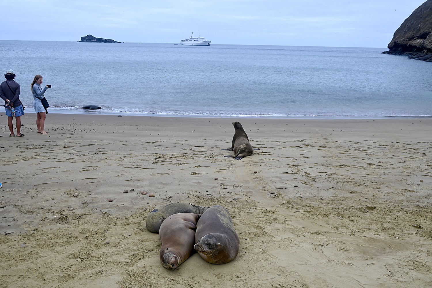
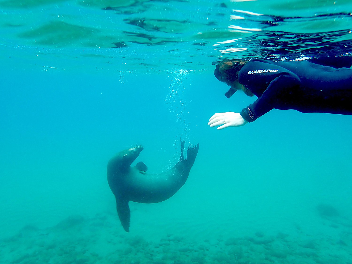
For the most perfect family cruise/travel/adventure experience we have had, set your compass to the Galapagos. Go Galapagos is a cruise and tour operator offering excellent price/quality value for 3, 4, 7 and -night inclusive cruises (two guaranteed weekly departures), You can also combine the cruise with land packages in the Galapagos, in Ecuador, and in Peru. In addition to the 100-passsenger Galapagos Legend, Go Galapagos also has two yacht-style ships, Coral I and Coral II. (www.GoGalapagos.com, 888 50 KLEIN).

Swimming with sea lions in the Galapagos on the GoGalapagos Legend cruise © Karen Rubin/goingplacesfarandnear.com

Want to skipper your own yacht, or charter a boat with a captain and crew? Dream Yacht Worldwide, a pioneer in making sailing and sea travel accessible employs more than 600 people in 31 countries and operates in 50 destinations worldwide, with a fleet of more than 900 monohulls and catamarans. Dream Yacht Charter offers one of the most diverse fleets of sailing, yacht and boats, If offers skippered and crewed charters (dreamyachtcharter.com)

The marvelously scenic and special time-travel experience of sailing one of the historic Maine Windjammers, like the Stephen Tabor, on Penobscot Bay © Karen Rubin/goingplacesfarandnear.com

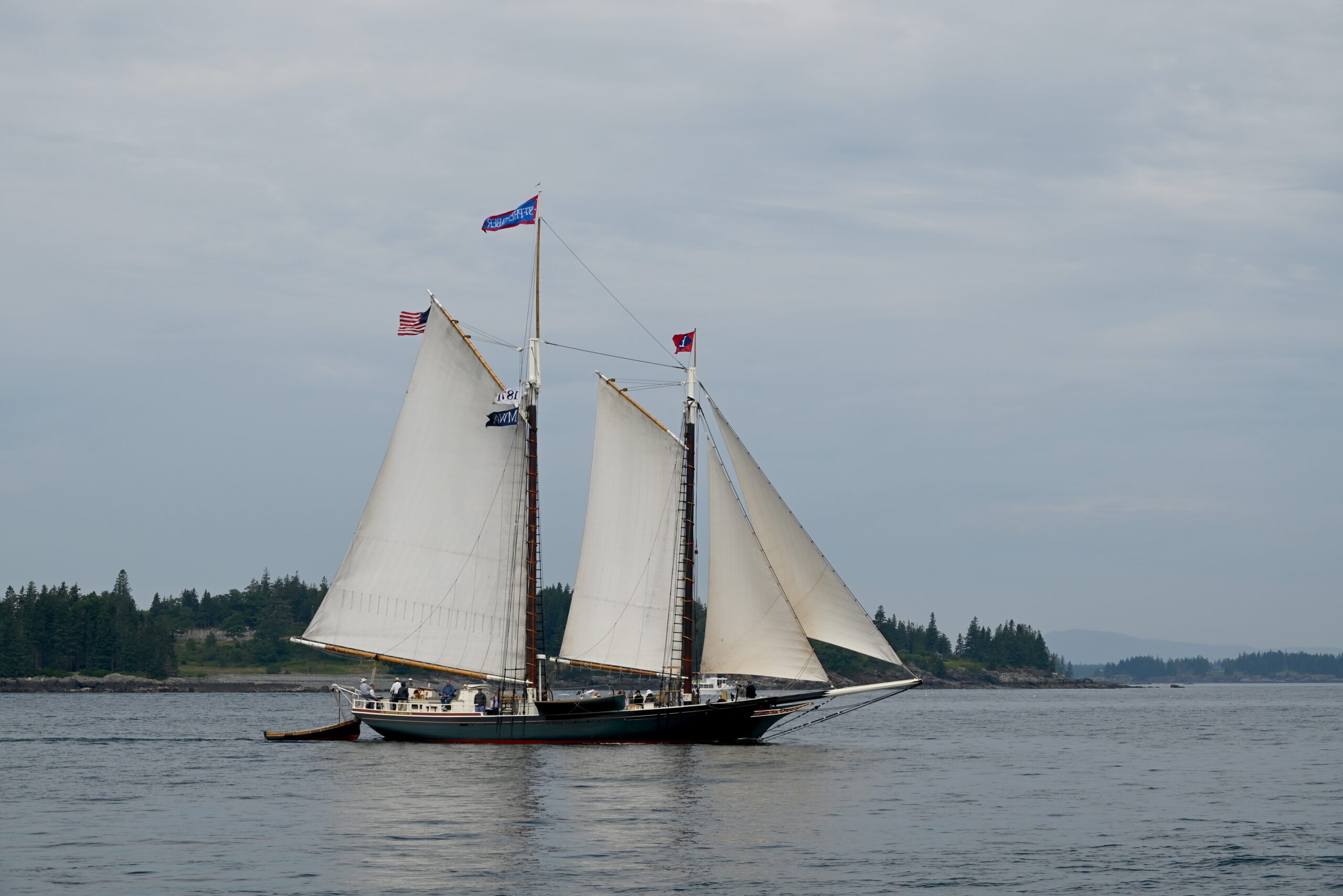
Another really special cruise experience is sailing on one of the historic vessels of the Maine Windjammer fleet that sail the Penobscot Bay. Each is distinctive (and on a few occasions during the season (Windjammer Gam – June 12, Great Schooner Race- July 7, Camden Windjammer Festival – Sept 1-2, and WoodenBoat Sail-In – Sept 12, they gather together in scenes that evoke the Great Age of Sail. Each vessel and each cruise is different (many are themed): Windjammer Angelique, Schooner American Eagle, Schooner Grace Bailey, Schooner Heritage, Schooner J. & E. Riggin, Schooner Ladona, Schooner Lewis R. French, Schooner Mary Day, Schooner Stephen Taber ([email protected], www.sailmainecoast.com, 800-807-9463.)

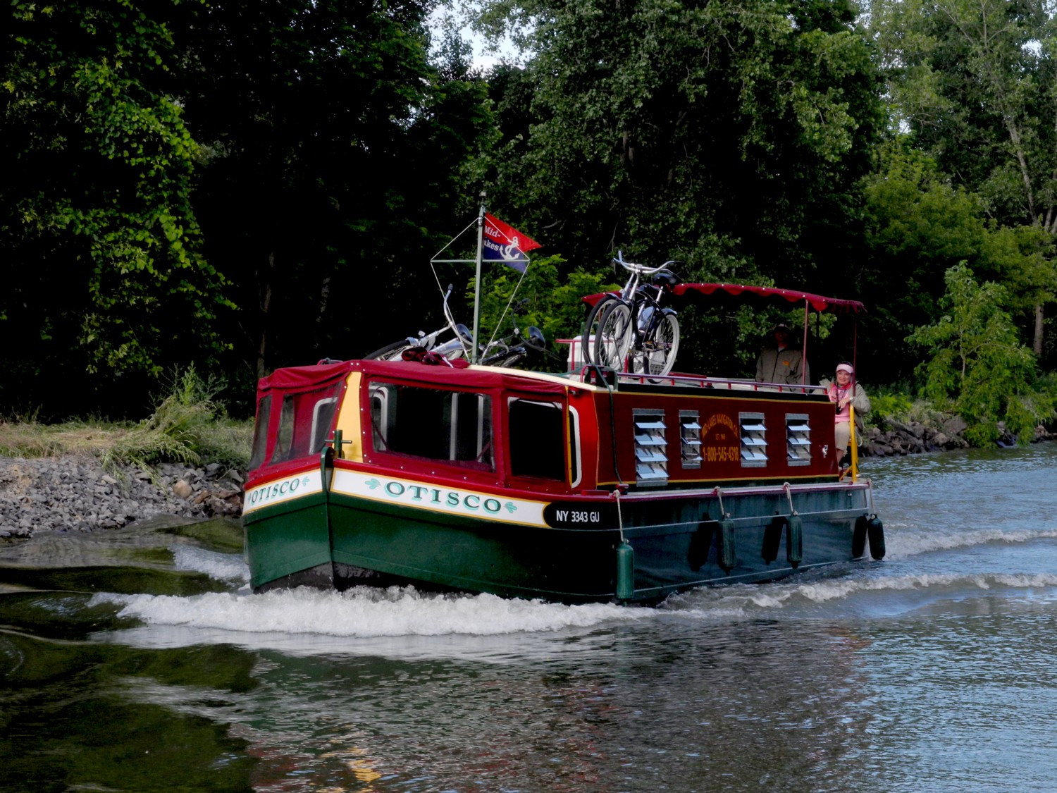
Enjoy cruising at your own pace, exploring the iconic (and calm) Erie Canal, captaining your way through locks, docks, and under lift bridges. Erie Canal Adventures, out of Macedon, NY,provides completely equipped 34 foot Lockmasters, ideal for 1 couple (some prime summer/fall dates available to charter) and 41 and 42 foot Lockmasters that sleep 4-6 people (limited dates available in September). These are set up like a floating houseboat with bedroom, bath/shower, fully equipped galley kitchen, remarkably easy to operate. (www.ErieCanalAdventures.com, 315-986-3011)

Cruising New York State’s Erie Canal on one of Erie Canal Adventures’ Lockmasters © Karen Rubin/goingplacesfarandnear.com

Solo Travel

Traveling solo is one of the big trends in travel. Bike tours are an excellent choice (I can attest). So are rafting trips, river, expeditionary, and small-ship cruises and canalboats.

Western River Expeditions suggests rafting itineraries – Grand Canyon, Colorado River, Salmon River – that have proved popular for solo travelers (https://www.westernriver.com, 866-904-1160).

Tour operators are also embracing solo travelers, offering departures that do not add the single supplement, for example, or matching up travel companions. EF Go Ahead Tours (GAT), a premier provider of culturally immersive travel experiences, announced it is introducing four new tours, for a total of 14, to its increasingly popular Solo-Only portfolio. EF Go Ahead Tours, is running its Semi-Annual Sale through June 29:  Book a 2023, 2024, or 2025 tour by June 29 to lock in the lowest price and take up to $400 off of the cost of their trip.  June 20 and 21, the Summer Solstice Flash Sale will offer Up to $800 off remaining 2023 tours.  To make travel even more accessible, EF Go Ahead’s flexible booking policies including AutoPay lets you hold a spot with $99 down and wait 60 days before your first interest-free payment. (www.goaheadtours.com, 800-590-1161).

Skyscanner Savings Generator

Global travel site Skyscanner has launched the new and expanded summer edition of its Savings Generator tool to help travelers save big this summer. 

The global travel sitecurrently searches 80 billion prices every day, so Skyscanner’s experts have crunched the numbers to share some simple dos and don’ts for grabbing the best bargain this summer. 

Put your desired route into the Savings Generator to see if it’s available. If not, bookmark the page and check back because Skyscanner adds new destinations to the list.

To provide a comparison, the Savings Generator starts by displaying the average monthly flight price for your destination. From there, it shows you the best time to book your flight and the cheapest day to travel on. If you’d like to consider a less-expensive alternative, the Generator displays different destinations, their average monthly flight price for travel, and the best day to go in order to save money. (See more: https://www.skyscanner.com/tips-and-inspiration/best-time-to-book-savings-generator)

Getting there: Skyscanner has beefed up its Savings Generator to find the best fares for summer travel © Karen Rubin/goingplacesfarandnear.com

Travel the last week of the school summer holidays (instead of the first) and save 31% 

To save big this summer, travel on a Sunday (most of the time)! 

Travelers who are flexible and can fly on less popular days of the week can save up to 5% on the cost of their flights this July and August according to Skyscanner’s Summer Savings Generator. An added bonus is that airports are likely to be less crowded too. As 73% of Americans share, they would be willing to change the day and/ or week of their summer vacations to save this year, it really pays to do your research by Use Skyscanner’s Whole Month view.   

There are still inexpensive deals – just search EVERYWHERE for the very best prices  

To let Skyscanner’s algorithm find the cheapest deal, just type in ‘Everywhere’ with your travel dates.  

_____________________________

© 2023 Travel Features Syndicate, a division of Workstyles, Inc. All rights reserved. Visit goingplacesfarandnear.com, www.huffingtonpost.com/author/karen-rubin, and travelwritersmagazine.com/TravelFeaturesSyndicate/. Blogging at goingplacesnearandfar.wordpress.com and moralcompasstravel.info. Visit instagram.com/going_places_far_and_near and instagram.com/bigbackpacktraveler/ Send comments or questions to [email protected]. Tweet @TravelFeatures. ‘Like’ us at facebook.com/KarenBRubin 

Utah Adventure Day 8: Arches National Park, a Geologic Wonderland

Sunrise on the Landscape Arch, Devils Garden Trail, Arches National Park © Karen Rubin/goingplacesfarandnear.com

By Karen Rubin, with Laini Miranda and Dave E. Leiberman

Travel Features Syndicate, goingplacesfarandnear.com

Arches National Park is a fantastical place, a geologic wonderland, and being able to wake up before the sun in the Devils Garden Campground and stroll along the Devils Garden Trail as the formations come alive with color, is extraordinary.

Arches’ sprawling landscape of 2,000 natural stone arches – the highest concentration of arches on the planet – plus hundreds of soaring pinnacles, massive rock fins, giant balanced rocks, coupled with its accessibility and ease of getting around (well, except for traffic and difficulty finding parking) and access (through Moab) draws hundreds of thousands of visitors each year, making it one of the most popular national parks. Indeed, Arches is so popular (and crowded) that it requires advance purchase, timed entry reservations just to enter, between April 1 and October 31.

Arches National Park is a geologic wonderland © Karen Rubin/goingplacesfarandnear.com

We are lucky because Laini has cleverly booked two nights at the Devils Garden campground months before our trip. The campsite reservation acts as the entry ticket and for this reason but especially because of being immersed in the landscape, this is the absolute best way to experience Arches National Park. (Devils Garden Campground is pen year-round, with 52 sites, reservations for individual sites can be made up to six months in advance; for group sites can be reserved up to year in advance, www.nps.gov/arch)

Arches is the most touristic of all the places we have visited this trip and offers such a contrast with the wild camping and communion with ancient spirits (Bears Ears), the remote unmarked hikes (Grand Staircase-Escalante), the long meandering hikes (Capitol Reef) and our search through muck and mud to find archaeological sites (Glen Canyon).

Here, we go sightseeing for the dazzling arches that give the park its name, like the amazing Double Arch, the Windows, Landscape Arch and Delicate Arch, accessed along paved paths from parking lots, with restroom facilities.

A formation in Arches National Park that looks like Croesus had just been turned to rock © Karen Rubin/goingplacesfarandnear.com

Throughout Arches, there are formations – eroded monoliths – that inspire names, like Parade of Elephants, Petrified Dunes, Tower of Babel and Fiery Furnace, also trigger imagination. Some look so much like mudmen, we name them (we rechristen Balanced Rock “E.T.”, the Gossips we rename “The Suffragists,” and formations that look to me as if Nefertiti and Croesus had just been turned to rock.

The formation once known as “The Gossips” we re-name “The Suffragists” Arches National Park © Karen Rubin/goingplacesfarandnear.com

The source of what we see is a salt bed, thousands of feet thick in places, that was deposited across the Colorado Plateau 300 million years ago when a sea flowed into the region and eventually evaporated, according to the Arches National Park notes. The salt bed was unstable and unable to hold the weight of the thick cover of rock formed from compressed debris. It shifted, buckled, liquefied and repositioned, thrusting rock layers upward as domes, while whole sections fell into cavities.

Doesn’t this rock formation look like Nefertiti? Imaginations run wild in Arches National Park © Karen Rubin/goingplacesfarandnear.com

Faults make the surface even more unstable. From the visitor center, you can see the result of a 2,500-foot displacement, the Moab Fault. The faults caused vertical cracks and wind and water over 100 million years of erosion and weathering, ultimately formed the arches of salmon-colored Entrada Sandstone and buff-colored Navajo Sandstone.

The process is ongoing – new features are being formed as old ones are transformed.

Sometimes the changes happen suddenly, violently. That was the case at the Skyline Arch, just next door to Devils Garden, where a massive boulder tumbled down in the 1940s, expanding the arch.

Waking before sunrise with the moon in Devils Garden Campground, Arches National Park © Karen Rubin/goingplacesfarandnear.com

The most ambitious hikes in Arches National Park are to the Double O Arch (4.1 miles); the Primitive trail (2.1 miles one way, considered most difficult), and if you would do the whole Devils Garden Trail (7.8 miles, that goes to the Landscape Arch, Double O Arch, Dark Angel along a primitive trail, with narrow ledges, rock scrambling and few trail markers; be sure to take enough water— 1 liter of water per person, per hour).

We do none of these, holding out for our most ambitious hike, to Delicate Arch, for sunset but I already have my trepidations.

And, in addition to the outstanding Devils Garden trail, from the campground (which feels luxurious to us for its restrooms and running water), you can hikethe Broken Arch Loop Trail which runs past Tapestry Arch and Broken Arch, then swings south towards Sand Dune Arch and back up passed Skyline Arch before returning to the campground. (Unfortunately, we don’t have time for that hike. Next time!)

Sunrise in Devils Garden, Arches National Park © Karen Rubin/goingplacesfarandnear.com

For my sunrise hike, I do the easy, paved trail, rushing to get to a good position for photos, and then continue on to do more of it, going to where I see the famous Landscape Arch. After my walk through the easy part of the Devils Garden Trail (it is surprising how fast the sun comes up, washing out the colors), I go back to the campsite where we have breakfast.

Sunrise in Devils Garden, Arches National Park © Karen Rubin/goingplacesfarandnear.com

(Actually, we have to move from one campsite to another for our second night and Dave and Laini figure out to just put the tent with the sleeping bags and stuff on top of the Jeep and drive it over, which we do by check-out time.)

Landscape Arch, Devils Garden, Arches National Park © Karen Rubin/goingplacesfarandnear.com

We then set out to explore Arches.

We only have one full day at Arches National Park, and it’s the end of our hiking/camping adventure, so we kind of go with the flow. We drive to the different sites, and do short hikes up to the various formations, basically doing the tourist thing.

An easy trail takes you to the Skyline Arch, Arches National Park © Karen Rubin/goingplacesfarandnear.com

We follow a route, starting with the Skyline Arch adjacent to Devils Garden. Dave climbs to the top of that humongous boulder that fell down (scary to contemplate). The Skyline Arch Trail is short and easy, less than a half-mile roundtrip hike from the parking lot and back. The arch itself is one of the more popular landmarks in Arches. It makes for spectacular photographs, owing to its position, literally, on the skyline. And its proximity to the Devils Garden Campground makes it a perfect hike if you arrive late in the afternoon. (We arrived too late.)

Dave climbs atop of a boulder that came off the Skyline Arch © Karen Rubin/goingplacesfarandnear.com

We go next to the observation area that overlooks The Fiery Furnace, a labyrinth of narrow sandstone canyons. (Hiking the Fiery Furnace requires agility and a permit, or a ticket for a ranger-led hike that must be reserved in advance through Recreation.gov; one route is marked, but getting lost is still possible.)

The Fiery Furnace, contrasted against snow-capped peaks, Arches National Park © Karen Rubin/goingplacesfarandnear.com

Next, we drive to one of the famous highlights of Arches (there are many, but this one is tops for me): the Double Arch Viewpoint and Trail. The tallest arch in the park at 122 ft., there seems to be this intricate dance between the two arches. An easy gravel path leads to the base of the two huge, arching spans. Of course Dave and Alli climb up to the arches, while Laini draws.

There seems to be an intricate dance between the two arches of the Double Arch, Arches National Park © Karen Rubin/goingplacesfarandnear.com

Balanced Rock is another signature landmark and just about everyone (who can get a parking space) walks the short hike around the base for up-close perspectives. We re-name Balanced Rock E. T. because from a certain angle, it’s a dead ringer for the endearing character.

“Balanced Rock”is a dead-ringer for the beloved E.T., Arches National Park © Karen Rubin/goingplacesfarandnear.com

(The Arches National Park newsletter guide is invaluable – it recommends how much water to take, and gives excellent information about distance and time and difficulty for each of the hikes.)

Dinosaurs, Indians!

Arches National Park (believe it or not), has no food or lodging (that is, beyond the sensational Devils Garden campground) – so we drive out of the park into the delightful, hopping town of Moab for lunch at the food truck park, and a bit of shopping.

From here, we drive a short distance to where Laini promises we will encounter both dinosaurs and Indians.

Tracks made by three-toed meat-eating dinosaurs can be seen at the Poison Spider Dinosaur Tracksite and Rock Art Trail © Karen Rubin/goingplacesfarandnear.com

We drive along Utah Scenic Byway 279 to the trailhead of the Poison Spider Dinosaur Tracksite and Rock Art Trail. It’s a quarter-mile walk up a steep, crumbly trail up a rocky hillside to two rock slabs where tracks made by three-toed meat-eating dinosaurs can be seen, as well as a wall with a good collection of petroglyphs.

This area was once a vast sand dune sea, known as an erg. These tracks would have been found along the edge of a lake between dunes. As the wind would blow across the dunes these tracks would have been gently buried in shifting sand and preserved. The preserved tracks were unearthed when the slabs fell from the sandstone cliffs above.

The trail switchbacks up the hill before coming alongside the petroglyph wall and then descends back to the parking lot. (Use caution: though short, there are a few steep areas and the trail can be hard to follow.)

(From this trailhead you can also connect to the Longbow Arch hiking trail that goes into a canyon to an arch, 2.4 miles roundtrip.)

The astonishing Utah Highway 279 Rock Art Site, where a huge rock wall face has the most amazing sets of petroglyphs and pictographs, Moab © Karen Rubin/goingplacesfarandnear.com

A short distance along Potash Road is the Utah Highway 279 Rock Art Site, where a huge rock wall face has the most amazing sets of petroglyphs and pictographs. It looks like a museum exhibit, except this is where they were made and it is astonishing to contemplate that this is where people so very long ago stood here and carved and painted them.

The astonishing Utah Highway 279 Rock Art Site, where a huge rock wall face has the most amazing sets of petroglyphs and pictographs, Moab © Karen Rubin/goingplacesfarandnear.com

Archaeologists believe most of the rock art found here was created during the Archaic (6,000 – 1,000 B.C.) and Fremont (450-1300 A.D.) cultural periods. The art consists of pictographs (painted images) and petroglyphs (pecked, incised or chiseled images). The majority of the rock art features anthropomorphic (human forms) and zoomorphic (animal forms) but there are also curvilean lines, zigzags, wavy lines, concentric circles and abstract symbols. Sometimes both Archaic and Fremont petroglyphs can be found on the same rock art panel.

The astonishing Utah Highway 279 Rock Art Site, where a huge rock wall face has the most amazing sets of petroglyphs and pictographs, Moab © Karen Rubin/goingplacesfarandnear.com

Some of the rock art panels depict religious rituals and are considered sacred sites. Some depict migration routes, fertility, hunting, ceremonies, and cosmic events.

The astonishing Utah Highway 279 Rock Art Site, where a huge rock wall face has the most amazing sets of petroglyphs and pictographs, Moab © Karen Rubin/goingplacesfarandnear.com

These petroglyphs were exposed when the road was widened, and it is a surreal experience to see these magnificent, huge murals just along the road – especially because it is beside a section popular with rock climbers (one was prosecuted for rock climbing where the protected petroglyphs are).

Fremont rock art often depicts trapezoidal anthropomorphs with horns, bighorn sheep, dogs, hunting scenes with weapons, and abstract objects – and sure enough, we see plenty of examples – there are horned anthropomorphs holding shields and paper doll-like cut-outs; at the southern end of the panel, we see a large bear with a hunter at its nose and another hunter over its back. The notes say this art is 3000 to 8000 years old.

The ancient rock-art panels are next to a popular rock climbing place © Karen Rubin/goingplacesfarandnear.com

At the northern end of the panel, round holes carved into the sandstone underneath the left side would have once held roof poles of a structure which was excavated by archaeologists before the road construction. The rock panels extend 125 feet along Potash Road.

Sunset and Star-Gazing

We return to Arches National Park for sunset (there is still a long line of cars getting in with their timed admission tickets, but because we are camping, we breeze right in).

Laini suggests we hike the 3 miles roundtrip to Delicate Arch for the sunset, but I’m actually dreading it (my feet are actually bleeding from yesterday’s 11-mile Kane Gulch hike – the folly of hiking in boots that haven’t been broken in).

My trepidation comes from the description of the hike: The Delicate Arch hike is ranked difficult – the trail climbs 480 feet up a steep slickrock slope, and just before you get to Delicate Arch, follows a narrow rock ledge for about 200 yards). I am especially nervous about hiking the 1.5 miles back in the dark.

Laini, who has done the hike on their previous trip, admits she also has been dreading it but only wanted to do it for me, because I would have been disappointed not to see the iconic rock formation that Utah uses for its state symbol.

We set out and I ask what exactly we will see and she pulls up the photo she took on a previous trip. I suggest we not bother, but rather go to The Windows where I’ve been told is a popular place for sunset.

But before we leave the trail to the Delicate Arch, we explore the Wolfe Ranch historic site and walk a little further along a path to see an excellent example of historic Ute rock art – a huge bonus to coming here.

Historic Ute rock art at the Wolfe Ranch site, Arches National Park © Karen Rubin/goingplacesfarandnear.com

The panel depicts a stylized horse and rider surrounded by bighorn sheep and dog-like animals which are typical of Ute rock art. The petroglyphs were carved sometime between 1660-1860.

The historic marker is fascinating because it also shows photos of an Ute on horseback in 1909. “The Utes’ acquisition of horses by the mid-1600s radically changed the way they hunted, worked and traveled.” Another photo depicts a Ute warrior and his bride, circa 1873. Utah’s name is derived from the Ute Indians who moved into this area around 1300 AD.

I’m thrilled we came here, and even more thrilled to go to The Windows for the sunset, which I had read in the park’s newsletter (so helpful!) is one of the great spots to watch the sunset.

The Windows, a great place to watch the sunset in Arches National Park © Karen Rubin/goingplacesfarandnear.com

The Windows – just across from the Double Arch where we had been in the morning – is a pleasant half mile walk. We arrive just as the light is turning the rock deep gold, to orange, to red. I find a “comfortable” rock to sit on at the bottom of the arch while Dave, Laini and Alli (of course) climb up into the Windows.  Our view looks out to the Turret Arch and a wide open expanse, to where the sun dips below the horizon.

Watching the sunset from The Windows, Arches National Park © Laini Miranda/goingplacesfarandnear.com

We drive back to Moab to stop in for a bite and beer flight at Moab Brewery, and then return to the national park to do some stargazing before settling into our campsite.

Arches National Park is a great family park where a short walk brings you to many of the iconic features, and you can even see a lot from a car and the observation areas. Stop at the visitor center for advice, where you can watch an orientation film and see exhibits. A self-guiding audio tour is available. Ranger programs are offered seasonally.

For more information, and to reserve entry tickets and campsites, www.nps.gov/arch; info 435-719-2299; hiking info at https://www.nps.gov/arch/planyourvisit/hiking.htm

Sunrise from the Devils Garden Campground, Arches National Park © Karen Rubin/goingplacesfarandnear.com

On our last morning, I awake again before sunrise and scramble up a small hill across the road from our campsite for a different view.

We pack up quickly for our departure which also entails packing up the rental sleeping bags and pads, which we ship back to Moosejaw.com from Moab, pick up breakfast from a delightful cafe, and head out for the drive back to Salt Lake City and our flight home, having had the most marvelous Utah Adventure, a trip of a lifetime for me.

Trip planning tools are available at https://www.visitutah.com/.

Advance Purchase Tickets Required

From April 1 to Oct. 1, 2023, you need to secure in advance a timed entry reservation in order to enter Arches National Park between 7 a.m. and 4 p.m. Reservations must be secured three months in advance of the anticipated date of visiting Arches. A single booking of a timed entry ticket covers each registered visitor (an individual, couple, group or family). You can enjoy the park all day, entering and re-entering at will with the validated ticket. A $2 processing fee is added nto the standard park entry fee. Reservations are accepted on a first-come, first-served basis on Recreation.gov. (It may also be possible to obtain a limited number of tickets through Recreation.gov up to midnight the day before planning to visit the park.).

See:

UTAH ADVENTURE DAY 1-2: CAPITOL REEF’S COLORFUL CANYONS

UTAH ADVENTURE DAY 3-4: GRAND STAIRCASE-ESCALANTE POSES CHALLENGE

UTAH ADVENTURE DAY 4-5: DRIVING BURR TRAIL, EXPLORING GLEN CANYON, WILD CAMPING IN ARCH CANYON

UTAH ADVENTURE DAY 6: SACRED SITES, SPIRITS OF BEARS EARS NATIONAL MONUMENT

UTAH ADVENTURE DAY 6-7: HOUSE ON FIRE AMONG HIGHLIGHTS HIKING AMID SACRED SITES, SPIRITS OF BEARS EARS NATIONAL MONUMENT

______________________

© 2023 Travel Features Syndicate, a division of Workstyles, Inc. All rights reserved. Visit goingplacesfarandnear.com, www.huffingtonpost.com/author/karen-rubin, and travelwritersmagazine.com/TravelFeaturesSyndicate/. Blogging at goingplacesnearandfar.wordpress.com and moralcompasstravel.info. Visit instagram.com/going_places_far_and_near and instagram.com/bigbackpacktraveler/ Send comments or questions to [email protected]. Tweet @TravelFeatures. ‘Like’ us at facebook.com/KarenBRubin 

Utah Adventure Day 6-7: House on Fire Among Highlights Hiking Amid Sacred Sites, Spirits of Bears Ears National Monument

House on Fire is one of the most photographed – and dramatic – archeological sites in Bears Ears National Monument-Cedar Mesa © Karen Rubin/goingplacesfarandnear.com

By Karen Rubin, with Laini Miranda and Dave E. Leiberman

Travel Features Syndicate, goingplacesfarandnear.com

What is truly special about Bears Ears National Monument-Cedar Mesa – and what draws Laini back time and again, are the remnants, artifacts and structures left by Ancestral Puebloans – ancestors of the Hopi and Zuni – who inhabited these canyons and cliffs between 700 and 2500 years ago. Arrowheads and other artifacts dating back 10,000 years have also been found in this region. Some of these sites are at once accessible yet also feel remote – so you feel you are the first archaeologist to discover, though obviously that can’t be since the BLM Rangers have left laminated info packets in metal cases in some of the dwellings. Still, we can pretend.

Our hikes bring us to these places that seem as if the occupants only recently vacated, leaving behind painted pottery shards, tiny corn husks, stone and bone tools, even their hand-prints, pictographs and petroglyphs that speak to us through time, as if to say, “We were here. We still are.”

Because these lands are sacred, all of us must be respectful of the dwellings and the archaeological artifacts that we come upon. And these sites truly feel sacred – precisely because of the artifacts, the pictographs and petroglyphs, you feel the presence of those who lived here. And because those of us who visit do show proper respect, these mud-and-stick (jacal) constructions delicate pictographs and petroglyphs etched into sandstone and  artifacts, though incredibly fragile, are here for us to discover, as if we are among the first.

It’s fairly miraculous these sites have survived Mother Nature, let alone humans.

After hiking to the Arch Canyon Ruins, Laini leads us to a trail to one of the outstanding highlights of the Bears Ears National Monument: the House on Fire, one of the most photographed (spectacular) sites in the region.

Hiking the Mule Canyon trail © Karen Rubin/goingplacesfarandnear.com

This site features five granaries built into overhanging Cedar Mesa Sandstone with a streaked pattern that, in the early morning light, resembles flames (photo tip: because these dwellings were built to be south-facing, the most dramatic light is around 10-11 am depending upon time of year). (https://bearsearsmonument.org/house-on-fire/)

House on Fire is one of the most photographed – and dramatic – archeological sites in Bears Ears National Monument-Cedar Mesa © Karen Rubin/goingplacesfarandnear.com

“As you take in the view, imagine how the ancient Puebloans lived here between 700 and 2,500 years ago,” Matcha writes at the visitutah.com site. “The granaries perched high in the cliffs stored corn, a main source of food. The Puebloans also ground Indian ricegrass into meal to make bread, and they ate abundant prickly pears. The ever-present yucca was invaluable, as its leaves were spun into fiber and woven into baskets, sandals, and bags, as well as ropes that are said to have helped reach some of the higher, less accessible granaries. The Native Americans used the root of the yucca for soap, and they roasted and ate the base of the plant.

House on Fire is one of the most photographed – and dramatic – archeological sites in Bears Ears National Monument-Cedar Mesa © Karen Rubin/goingplacesfarandnear.com

“The pinyon pines that you weave around and duck under to reach the ancient sites were a key source of building material, fuel, and food. When burned, the wood created the high temperatures needed for firing pottery, while pine bark served as roofing and padding, and pinon nuts provided much-needed vitamins and protein.” (https://www.visitutah.com/articles/exploring-mule-canyon-house-on-fire-cave-tower)

You have to really look closely to discover these hand prints in House of Fire, Bears Ears National Monument-Cedar Mesa © Laini Miranda/goingplacesfarandnear.com

Matcha further advises to search for rock art located beneath an overhanging boulder in the wash below the House on Fire. And if you continue on the trail, there are several more sites worth seeing. While some sit right off the trail, you either need binoculars to see or have to climb 200 feet to reach them. “Toward the end of the canyon is the spectacular Wall Site, which has several intact rooms built into small caves in the pock-marked cliff. Some of the roofs still have the original roof timbers.”

(South Fork of Mule Canyon trail is 4.3 miles one-way, and elevation gain is 250 feet. Cave Tower Site is 1-1.5 miles round trip, and elevation change is less than 200 feet. Passes are required for day hiking, check with the Bureau of Land Management for the current fee amount. Be prepared with exact change.)

Coming upon The Tower Ruin, off the beaten path © Karen Rubin/goingplacesfarandnear.com

After this spectacular hike, we drive west on Hwy 95 near milepost 103, then drive onto a dirt road for half a mile. We hike in and across the way, we see The Tower Ruin – a rare, two-story structure on the other side of the canyon.

The Tower Ruin, Bears Ears National Monument-Cedar Mesa © Karen Rubin/goingplacesfarandnear.com

At first, it seems too steep a scramble for me, but Dave and Laini go down. Dave makes it look easy. Sure enough, he comes back to guide me to the site (so glad he did!).

The Tower Ruin, Bears Ears National Monument-Cedar Mesa © Karen Rubin/goingplacesfarandnear.com

This site is so secluded, remote and untouched, it feels as if we discovered it on our own (though I’m sure that’s not true, the feeling is still so exciting).

The Tower Ruin, Bears Ears National Monument-Cedar Mesa © Karen Rubin/goingplacesfarandnear.com

The tower construction seems to be “modern” – Laini says there is evidence of three different generations having a hand in the construction. There are fabulous pictographs and petrolyphs here. I imagine that one is a symbol for the chief.

The Tower Ruin, Bears Ears National Monument-Cedar Mesa © Karen Rubin/goingplacesfarandnear.com

Altogether, we have hiked about 9 to 10 miles today – so satisfying.

We drive into the town of Blanding for dinner and supplies, seeing signs along the way for Native American Crafts, Dinosaur Museum, State Edges of the Cedars Native American Museum.

The Tower Ruin, Bears Ears National Monument-Cedar Mesa © Karen Rubin/goingplacesfarandnear.com

Laini decides to change plans from our original itinerary and instead of leaving here for Canyonlands, we stay an extra night and day in Cedar Mesa.

So glad, because the second day’s hike is one of the best I have ever experienced.

Catching the last rays of sun driving back to our wild camping site in Arch Canyon from Blanding © Karen Rubin/goingplacesfarandnear.com
 

Kane Gulch Trail

Take seriously the need to obtain permits in advance for certain hikes. We changed our plans in order to stay this second day in Cedar Mesa so did not get the necessary permit (limited to just 20 a day) to hike to Moon House – the only day hike that requires a permit instead of just a hiking day pass. We thought we might get away with it because we are here on Easter Sunday, but no such luck (the permit allocations fill up even months before). It is easier to get permits in summer months, which is when Laini and David found themselves the only ones at the site when they last visited (likely because of the heat; when we are here, in early spring, the weather is perfect).

Hiking the Kane Gulch Trail, Bears Ears National Monument-Cedar Mesa © Karen Rubin/goingplacesfarandnear.com

Instead, at the Kane Gulch Visitor Center, the Ranger suggests we hike the Kane Gulch Trail which starts right across the road. We purchase our day hiking passes ($5 pp – my America the Beautiful pass doesn’t count). She suggests what to look for at what distances.

Hiking the Kane Gulch Trail, Bears Ears National Monument-Cedar Mesa © Karen Rubin/goingplacesfarandnear.com

Dave gets out our hot-water maker and we have our breakfast at the picnic table outside the visitor center, then set out. Our plan is to go five miles, to the Stimper Arch, and five miles back.

Profile of an Indian Chief? Hiking the Kane Gulch Trail, Bears Ears National Monument-Cedar Mesa © Karen Rubin/goingplacesfarandnear.com

At about a mile in, there is a short slot canyon where we see a formation to me looks like the profile of an Indian chief.

At the two-mile mark, Dave stashes our 5-gallon water jug so we have enough for the return.

Junction Ruin, Kane Gulch Trail, Bears Ears National Monument-Cedar Mesa © Karen Rubin/goingplacesfarandnear.com 

It’s four miles to the Junction Ruin which has some fabulous dwellings, pottery shards, and pictographs.Dave and Laini climb up sheer rock to get to an upper level (a defensive watchtower?) and could see remnants of a ladder that would have been used.

Turkey Pen, Kane Gulch Trail, Bears Ears National Monument-Cedar Mesa © Karen Rubin/goingplacesfarandnear.com 

Another .7 mile and we come to a site known as Turkey Pen. Looking up from the trail, it seems the cliff dwellings are cramped and close to the edge, but when we get up here, it is surprising how much space there actually is.

Turkey Pen, Kane Gulch Trail, Bears Ears National Monument-Cedar Mesa © Karen Rubin/goingplacesfarandnear.com

Here, we see some fabulous examples of mud and stick method of construction (jacal) and some exquisite painted pottery shards, pictographs, even the remnants of the actual turkey pen formed with sticks – so it almost seems you are coming upon a dwelling just after the residents left. You feel you are the archaeologist making the discovery – except for the printed notes left by the National Park Service- but still. 

Cliff dwellings along the Kane Gulch Trail, Bears Ears National Monument-Cedar Mesa © Karen Rubin/goingplacesfarandnear.com

We also come upon a square kiva (most kivas Laini and Dave have seen are circular, Laini notes).

Junction Ruin, Kane Gulch Trail, Bears Ears National Monument-Cedar Mesa © Karen Rubin/goingplacesfarandnear.com

You wonder about whether the site was designed to defend and who to defend from – people who would take food stored in the granary? One of the pictographs depicts sheep being killed, another of “lizard man.”

Cliff dwellings along the Kane Gulch Trail, Bears Ears National Monument-Cedar Mesa © Karen Rubin/goingplacesfarandnear.com

As we hike, we keep our eyes peeled on the cliffs above for evidence of dwellings, well off the trail and likely minimally visited. Laini says there were thousands of cliff dwellings here and only a fraction have been discovered (or are still intact, but when you consider they are 1000 years old, and the crumbling rock all around, it is amazing any remain). We spot one and Laini goes off to try to find a way to climb up to it.

Cliff dwellings along the Kane Gulch Trail, Bears Ears National Monument-Cedar Mesa © Karen Rubin/goingplacesfarandnear.com

We find a pleasant rock overhang to sit and have our picnic lunch, feeling like this would have been exactly what the Puebloans would have done.

We hike a further .3 miles to the Stimper Arch (which is the 5-mile mark), where we turn around.

Turkey Pen, Kane Gulch Trail, Bears Ears National Monument-Cedar Mesa © Karen Rubin/goingplacesfarandnear.com

This hike has everything – it has just the right amount of physical challenge – a section where you scramble a bit and walk a narrow edge – gorgeous greenery, stunning rock formations, water features (but not too watery to hike), but best and most spectacular of all, these cliff dwellings that look like we have just discovered them, with relatively large and stunningly painted pottery shards, stone tools, stunning pictographs (I start thinking they are either indications of how many people lived in the dwelling like a census; markers of whose dwelling it is, like a family name?  or just being playful, artful?).

Turkey Pen, Kane Gulch Trail, Bears Ears National Monument-Cedar Mesa © Karen Rubin/goingplacesfarandnear.com

The trail is not specifically marked – so you have to figure your own way using the landscape and intermittently placed cairns.

Turkey Pen, Kane Gulch Trail, Bears Ears National Monument-Cedar Mesa © Karen Rubin/goingplacesfarandnear.com
The actual turkey pen, Kane Gulch Trail, Bears Ears National Monument-Cedar Mesa © Karen Rubin/goingplacesfarandnear.com
Turkey Pen, Kane Gulch Trail, Bears Ears National Monument-Cedar Mesa © Karen Rubin/goingplacesfarandnear.com

Even though this is a popular trail, we come upon other people only occasionally (but it kind of reassures us we are going the right way).

The trail actually goes on for miles (days), connecting to other trails. (We meet a group of college students who are making a multi-day backpacking trip and will return on the Fish and Owl trail.)

Turkey Pen, Kane Gulch Trail, Bears Ears National Monument-Cedar Mesa © Karen Rubin/goingplacesfarandnear.com
Kane Gulch Trail, Bears Ears National Monument-Cedar Mesa © Karen Rubin/goingplacesfarandnear.com

We get back to the start at 6:30 pm (we set out around 10 am), having hiked about 11 miles. (It took us 5 hours to get 5 miles (including the time exploring the archaeological sites) and 3 ½ hours to hike back.

Stimper Arch, Kane Gulch Trail, Bears Ears National Monument-Cedar Mesa © Karen Rubin/goingplacesfarandnear.com

After this full day’s hike, we drive to Arches National Park. It’s a fairly long drive and already sunset by the time we arrive. This is the first time we have to set up camp in the dark and there is a strong wind that makes it difficult to keep the tent from blowing away (especially since I can’t find my tent stakes so we improvise, until they are ultimately found under the footprint.)

Dave makes a fire and we prepare dinner from our supplies.

It is night by the time we set up camp at the Devils Campground in Arches National Park © Karen Rubin/goingplacesfarandnear.com

If You Go….

The Moon House Ruin is one of the best archaeology sites on Cedar Mesa, consists of three separate structures with 49 rooms; well preserved pictographs grace the walls of an interior courtyard and some of the rooms (the hike is 3.2-5.6 miles roundtrip). More of the best hikes in Bears Ears at http://www.hikingwalking.com/index.php/destinations/ut/ut_se/blanding

Day hiking in Bears Ears National Monument requires a day hiking pass. Day hiking passes are unlimited.

Bears Ears National Monument does not charge an entry fee where your America the Beautiful Pass would typically apply. However, activity fees called “Individual Special Recreation Permits” are charged for day hiking and backpacking (typically $2 at the trailhead). Visit the permits page for more information (https://www.blm.gov/programs/recreation/permits-and-passes/lotteries-and-permit-systems/utah/cedarmesa).

Visitor Centers:

Kane Gulch BLM Ranger Station, UT-261 36 miles west of Blanding. Open: March 1-June 15, September 1-October 31, 8 am-noon daily

Monticello Visitor Center, 216 S Main St., Hours: 9 am-5 pm, closes at 3 pm on Sunday, Phone: 435-587-3401

Blanding Visitor Center, 12 North Grayson Parkway, 9 am-5 p.m., closed Sunday

https://www.blm.gov/visit/bears-ears-national-monument

See:

UTAH ADVENTURE DAY 1-2: CAPITOL REEF’S COLORFUL CANYONS

UTAH ADVENTURE DAY 3-4: GRAND STAIRCASE-ESCALANTE POSES CHALLENGE

UTAH ADVENTURE DAY 4-5: DRIVING BURR TRAIL, EXPLORING GLEN CANYON, WILD CAMPING IN ARCH CANYON

UTAH ADVENTURE DAY 6: SACRED SITES, SPIRITS OF BEARS EARS NATIONAL MONUMENT

______________________

© 2023 Travel Features Syndicate, a division of Workstyles, Inc. All rights reserved. Visit goingplacesfarandnear.com, www.huffingtonpost.com/author/karen-rubin, and travelwritersmagazine.com/TravelFeaturesSyndicate/. Blogging at goingplacesnearandfar.wordpress.com and moralcompasstravel.info. Visit instagram.com/going_places_far_and_near and instagram.com/bigbackpacktraveler/ Send comments or questions to [email protected]. Tweet @TravelFeatures. ‘Like’ us at facebook.com/KarenBRubin 

Utah Adventure Day 6: Sacred Sites, Spirits of Bears Ears National Monument

Exploring the Arch Canyon ruins, Bears Ears National Monument-Cedar Mesa © Karen Rubin/goingplacesfarandnear.com

By Karen Rubin, with Laini Miranda and Dave E. Leiberman

Travel Features Syndicate, goingplacesfarandnear.com

Bears Ears National Monument-Cedar Mesa is the highlight (out of so many) of our Utah Adventure – hitting on all cylinders of stunning landscape, fascinating cultural heritage, and the opportunity to really explore, adventure and discover for ourselves on some of the most wonderful hikes (Kane Gulch!) anywhere.

Wild camping in Arch Canyon, Bears Ears National Monument-Cedar Mesa © Karen Rubin/goingplacesfarandnear.com

Finally! I get to do wild camping that I have been so intrigued about ever since Dave and Laini spent much of a summer exploring the West in their Subaru Forester which they converted into a campervan.

Dave drives our rental Jeep down a dirt road into Arch Canyon until we find a spot we can claim for our own (it happens to be immediately adjacent to an Indian reservation, with a warning sign posted on a fence, “No trespassing.”). There are many other wild campers in this area in the spring and we get one of the last suitable spots. (But this is still so much more interesting than going further down the road to an actual campground where you need advance reservations for official campgrounds,  recreation.gov, information at 435-587-1500 M-F, 8 am-noon. No reservation is required for any BLM land that does not clearly prohibit camping and the custom is to find a site that already has a stone circle for a fire pit.)

Wild camping in Arch Canyon, Bears Ears National Monument-Cedar Mesa © Karen Rubin/goingplacesfarandnear.com

Where we set up is just a walk down a path that leads to the Arch Canyon trailhead and the Arch Canyon Ruins, where we get to explore cliff dwellings.

Indeed, Cedar Mesa is a network of canyons that are home to ancient archaeological ruins and rock art panels – the ultimate combination of spectacular scenery and fascinating cultural sites.

Streams carve into the banded yellow-gray and reddish-orange sandstone, creating fabulous formations and arches – Mother Nature’s sculpture. Cliffs are streaked with “desert varnish” – thin deposits of minerals including iron, manganese, magnetite and clay particles, combined with bacteria – which add to the painterly ambiance. And some of these have provided the overhang for dwellings.

Hiking the trail into Arch Canyon, Bears Ears National Monument-Cedar Mesa © Karen Rubin/goingplacesfarandnear.com

What is truly special about Bears Ears National Monument-Cedar Mesa – and what draws Laini back time and again, are the remnants, artifacts and structures left by Ancestral Puebloans – ancestors of the Hopi and Zuni – who inhabited these canyons and cliffs between 700 and 2500 years ago. Arrowheads and other artifacts dating back 10,000 years have also been found in this region. Some of these sites are at once accessible yet also feel remote – so you feel you are the first archaeologist to discover, though obviously that can’t be since the BLM Rangers have left laminated info packets in metal cases in some of the dwellings. Still, we can pretend.

Hiking the trail into Arch Canyon, Bears Ears National Monument-Cedar Mesa © Karen Rubin/goingplacesfarandnear.com

Our hikes bring us to these places that seem as if the occupants only recently vacated, leaving behind painted pottery shards, tiny corn husks, stone and bone tools, even their hand-prints, pictographs and petroglyphs that speak to us through time, as if to say, “We were here. We still are.”

These sites in Bears Ears truly feel sacred – precisely because of the artifacts, the pictographs and petroglyphs, you feel the presence of those who lived here © Karen Rubin/goingplacesfarandnear.com

Indeed, there are a mind-boggling 100,000 known archaeological sites protected within the Bears Ears National Monument, which spans 1.35 million acres. The buttes and surroundings have long been held as sacred or significant by a number of the region’s Native American tribes.

But it has not been without controversy. 

Bears Ears National Monument was established in 2016 by President Barack Obama to preserve thousands of these indigenous cultural and archaeological sites. The Bears Ears Inter-Tribal Coalition, an alliance of five sovereign Tribal nations with ties to Bears Ears (the Hopi, Navajo, Uintah and Ouray Ute Indian Tribe, Ute Mountain Ute and Zuni Tribe), was the driving force behind its designation and are partners in managing the monument along with the federal Bureau of Land Management and US Forest Service.

These sites in Bears Ears truly feel sacred – precisely because of the artifacts, the pictographs and petroglyphs, you feel the presence of those who lived here © Karen Rubin/goingplacesfarandnear.com

In their proposal to have Bears Ears designated as a national monument, the Coalition described these canyonlands as ancestral land and the Southern Utah Wilderness Alliance (SUWA) described the Bears Ears as “the most significant unprotected cultural landscape in the U.S.”

These sites in Bears Ears truly feel sacred – precisely because of the artifacts, the pictographs and petroglyphs, you feel the presence of those who lived here © Karen Rubin/goingplacesfarandnear.com

But in 2017, catering to mining, fossil fuel and other extraction industry interests, Donald Trump drastically reduced the size of Bears Ears (by 85 percent) and Grand Staircase-Escalante (by half) – the single largest rollback of public lands protection in history. These changes exposed archaeological and paleontological sites to vandalism, looting and opened the door to drilling and mining. Moreover, Trump’s Interior Department, under Secretary Ryan Zinke (who left in 2019 in disgrace) offered meager plans for managing what remained of the monuments, leaving important cultural sites and wildlife habitat vulnerable.

These sites in Bears Ears truly feel sacred – precisely because of the artifacts, the pictographs and petroglyphs, you feel the presence of those who lived here © Karen Rubin/goingplacesfarandnear.com

Various groups brought lawsuits and President Joe Biden (who appointed Deb Haaland Interior Secretary, the first native American to hold the cabinet position and the first to lead the department which historically oversees the Bureau of Indian Affairs) restored the territory under protection in October 2021. The Bears Ears Inter-Tribal Coalition and the federal government officially signed a cooperative agreement, unveiling the first monument boundary sign on June 18, 2022,

The Bears Ears National Monument is named for a pair of buttes that rise to elevations of 8,900 feet and 9,000 feet © Karen Rubin/goingplacesfarandnear.com

The monument is named Bears Ears for a pair of buttes that rise to elevations of 8,900 feet and 9,000 feet – more than 2,000 feet above Utah state routes 95 and 261. The monument includes the area around the Bears Ears formation and adjacent land to the southeast along the Comb Ridge formation, as well as Indian Creek Canyon to the northeast. The monument also includes the Valley of the Gods to the south, the western part of the Manti-La Sal National Forest’s Monticello unit, and the Dark Canyon Wilderness to the north and west.

These sites in Bears Ears truly feel sacred – precisely because of the artifacts, the pictographs and petroglyphs, you feel the presence of those who lived here © Karen Rubin/goingplacesfarandnear.com

Because these lands are sacred, all of us must be respectful of the dwellings and the archaeological artifacts that we come upon. And these sites truly feel sacred – precisely because of the artifacts, the pictographs and petroglyphs, you feel the presence of those who lived here. And because those of us who visit do show proper respect, these mud-and-stick (jacal) constructions delicate pictographs and petroglyphs etched into sandstone and  artifacts, though incredibly fragile, are here for us to discover, as if we are among the first.

It’s fairly miraculous these sites have survived Mother Nature, let alone humans.

These sites in Bears Ears truly feel sacred – precisely because of the artifacts, the pictographs and petroglyphs, you feel the presence of those who lived here © Karen Rubin/goingplacesfarandnear.com

Indeed, we are able to see artifacts and sites that date back 1000 years, but it is mind-boggling to contemplate that this area has been inhabited since 12,000 BC to 6000 BC by the PaleoIndians; the Archaic (6000-2000 BC); Early Agriculture (2000-500 BC); Basketmaker II (500 BC to 500 AD); Basketmaker III (500-750 AD); Pueblo I (750-900 AD), Pueblo II (900-1150 AD-we see evidence of their kivas, plain gray pottery, black-on-white pottery); Pueblo III (1150-1290 AD, when the Four Corners Area was abandoned).

Arch Canyon Ruins

Hiking the trail into Arch Canyon, Bears Ears National Monument-Cedar Mesa © Karen Rubin/goingplacesfarandnear.com

Each day of our Utah Adventure, which so far has taken us through Capitol Reef National Park, Grand Staircase-Escalante, and Glen Canyon National Recreation Area, has been so different in highlights, experience and even theme. Today’s theme is cultural, as we go in search of cliff dwellings through these canyons.

We wake up in our “wild” campsite and after breakfast, stroll down Arch Canyon Road and soon come to the Arch Canyon Ruin.

Seeing these structures, how they were built high up in the rock overhangs, camouflaged in rock, you wonder whether they were designed for defense: Who or what were they defending against? The fact that the Navajo named the Ancestral Pueblo people who were there before them, Anasazi – “enemy ancestors” (as we learned at the Anasazi State Park Museum in Boulder) suggests that there were conflicts among tribes or clans. Were these groups afraid of being attacked for their food or water? Or were they built so far above the river because of flash floods?

Arch Canyon ruins, Bears Ears National Monument-Cedar Mesa © Karen Rubin/goingplacesfarandnear.com

A panel provides background about the Puebloan People and these cliff dwellings: Few people lived in Cedar Mesa from 700-1050 AD, but by 1050, there were many Pueblo communities throughout the mesa and its canyons. During this time, Cedar Mesa’s cultural landscapes were interconnected with those of Chaco Canyon to the southeast, Mesa Verde to the east and the kayenta region to the south. Later, smaller groups moved into Cedar Mesa’s canyons to occupy nearly inaccessible but defensible places such as cliff face alcoves and ledges. But by 1280 AD, a combination of social and environmental factors prompted the Puebloan people to migrate again from Cedar Mesa to lands to the south and east. Cedar Mesa’s descendant populations now reside among the Hopi of Arizona, the Zuni and Keres-speaking pueblos of New Mexico and the Tanoan peoples along the Rio Grande.

Arch Canyon ruins, Bears Ears National Monument-Cedar Mesa © Karen Rubin/goingplacesfarandnear.com

I note the word “defensible” and wonder about who and what they were defending against.

In one of the structures, we see an innovation: shelves! We climb under boulders and see a pictograph of four hands.

We spend about two hours in this section, and then get the Jeep to go to the next destination. (You can hike between Arch Canyon and House on Fire, via Arch Canyon Road and Mule Canyon trail, 5.7 miles, or two hours, one way.)

Exploring the Arch Canyon ruins, Bears Ears National Monument-Cedar Mesa © Karen Rubin/goingplacesfarandnear.com

We stop for a picnic lunch at Mule Canyon Ruin site along the road (almost a rest stop, complete with two bathrooms).

Laini leads us to a trail to one of the outstanding highlights of the Bears Ears National Monument: the House on Fire, one of the most photographed (spectacular) sites in the region.

If You Go….

Day hiking in Bears Ears National Monument requires a day hiking pass (there is no limit on the number of day hiking passes issued).

Bears Ears National Monument does not charge an entry fee where your America the Beautiful Pass would typically apply. However, activity fees called “Individual Special Recreation Permits” are charged for day hiking and backpacking (typically $2 at the trailhead). Because your America the Beautiful Pass does not cover Individual Special Recreation Permits, it does not apply toward your backpacking permit, Moon House permit, nor day hiking pass. Visit the permits page for more information.

Visitor Centers:

Kane Gulch BLM Ranger Station,  UT-261 36 miles west of Blanding. Open: March 1-June 15, September 1-October 31, 8:00 a.m. – 12:00 p.m., 7 days a week

Monticello Visitor Center, 216 S Main St., Hours: 9:00 a.m. – 5:00 p.m., Closes early at 3:00 p.m. on Sunday, Phone: 435-587-3401

Blanding Visitor Center, 12 North Grayson Parkway, 9:00 a.m. – 5:00 p.m., closed Sunday

More information: https://www.blm.gov/visit/bears-ears-national-monument

Next: House on Fire, Kane Gulch Trail

See:

UTAH ADVENTURE DAY 1-2: CAPITOL REEF’S COLORFUL CANYONS

UTAH ADVENTURE DAY 3-4: GRAND STAIRCASE-ESCALANTE POSES CHALLENGE

UTAH ADVENTURE DAY 4-5: DRIVING BURR TRAIL, EXPLORING GLEN CANYON, WILD CAMPING IN ARCH CANYON

______________________

© 2023 Travel Features Syndicate, a division of Workstyles, Inc. All rights reserved. Visit goingplacesfarandnear.com, www.huffingtonpost.com/author/karen-rubin, and travelwritersmagazine.com/TravelFeaturesSyndicate/. Blogging at goingplacesnearandfar.wordpress.com and moralcompasstravel.info. Visit instagram.com/going_places_far_and_near and instagram.com/bigbackpacktraveler/ Send comments or questions to [email protected]. Tweet @TravelFeatures. ‘Like’ us at facebook.com/KarenBRubin 

Utah Adventure Day 3-4: Grand Staircase-Escalante Poses Challenge

Hiking Big Horn Canyon, Grand Staircase-Escalante, Utah © Karen Rubin/goingplacesfarandnear.com

By Karen Rubin, with Laini Miranda and Dave E. Leiberman

Travel Features Syndicate, goingplacesfarandnear.com

Grand Staircase-Escalante National Monument is a Delaware-sized museum of sedimentary erosion that takes you down a 200-million-year-old “staircase” – a series of plateaus that descend from Bryce Canyon south toward the Grand Canyon.

But it’s relatively new and unexplored: it was the last part of the Lower 48 United States to get cartographed. President Bill Clinton set aside these 1.87 million acres as a national monument in 1996 because its untrammeled significance distinguishes it for researchers and explorers alike – but it has been controversial ever since, as Trump and Republicans sought to reverse its protected status, slash the size of Grand Staircase in half and neighboring Bears Ears by 85%,and open up vast sections of both – including areas sacred to indigenous people – to extraction and exploitation. Biden reinstated the protected areas in 2021.

Unlike the exceptionally popular and trafficked Capitol Reef (which we visited on our first two days of our Utah Adventure), Zion, Bryce Canyon and Arches National Park, Grand Staircase-Escalante is for more hard-core adventures – most of the trails are barely marked, require four-wheel drive to reach the trailhead, and have minimal services (you are on your own).

David and Laini have been here before, so have scouted and know the ropes – like how to drive down the rustic, 55-mile long Hole-in-the-Rock road that begins on Highway 12, just southeast of the town of Escalante, and ends at the edge of a cliff. That road leads to the trailheads of the minimally marked trails into many slot canyons that Laini most wants to explore. When they came the last time, the road was almost impassable – we are lucky today, that the gravel and sand are not so deep. (Pro tip: go in early spring shortly after the road is regarded; in summer and fall, the washboard road has been so well-traveled and destroyed that it takes over an hour to drive just 20 miles, even in a four-wheel drive car with high clearance, as David and Laini learned through experience).

Hole in the Rock Road is actually a famous historic Mormon Trail. The off-highway portion begins/ends near Halls Crossing on Utah Highway 276 and goes near to the pioneer crossing of the Colorado River (now Lake Powell). A large group of Mormon settlers in wagons traveled this route on a journey from Escalante to Bluff, which they expected to take six weeks but actually took six months. It is an amazing expanse of open country. This is also the famed road featured in Edward Abbey’s cult classic, “The Monkey Wrench Gang”.

Names here are very descriptive and should give you some idea (they might as well use skull and crossbones instead of trail markers): Devils Garden (the easiest and most enchanting hike), Spooky Gulch (a moderate hike), Little Death Hollow, Death Hollow (a difficult hike). And then there’s Hell’s Backbone – a rugged, 45-mile long mostly unpaved mountain road from Escalante to Boulder through Dixie National Forest into Box Death Hollow Wilderness area that climbs far up the southern slopes of Boulder Mountain, reaching the summit at 9,200 feet; without stops takes nearly 2 hours to drive, is closed in winter and usually impassable during the snowmelt season of late spring.

The trail to Zebra Canyon, Grand Staircase-Escalante, Utah © Karen Rubin/goingplacesfarandnear.com

The canyons are a rugged, desolate adventurers’ paradise – Jurassic Park comes to mind – and draws hard-core hikers, canyoneers and other outdoors enthusiasts. There are very few people around (the town is tiny), even reaching the trailhead requires four-wheel drive capable of off-road, and the trails are not marked, beyond a sign at the trailhead, and even these are rare.

As we head out for hikes, we have to be extremely mindful of carrying enough water and snacks. David hauls a 5-gallon collapsible water jug that he stashes for the trip back, and carries a 4L Hydrapak water bladder that he uses to refill our personal water bottles. We’re here in cool weather, but in summer, it can be dangerously hot. You are cautioned not to start out on these hikes after 10 am. David and Laini are also big fans of the lightweight Clif Energy Bloks that you can stock up on at Escalante Outfitters in town, where we get breakfast before heading out.

Dave, Laini and Alli hiking the trail to Zebra Canyon, Grand Staircase-Escalante, Utah © Karen Rubin/goingplacesfarandnear.com

Besides water, hat, sunglasses, sunscreen, snacks (and me a camera), a light compactable jacket, we try to carry as little as possible. (This means I can’t take my Nikon Z5 mirrorless –too big, bulky; on the more challenging hikes I rely on my Panasonic Lumix, my Olympus T6, and my Google Pixel phone, which actually capture the richest colors). Laini and David advise us that in some spots the slot canyons are only 10” wide and simply cannot accommodate a backpack.

On a previous trip, David and Laini had a sophic guide named Ace (or Yoda), who said things like, “Let the land reveal itself to you and you will ultimately find the red zone.” (I have no idea what the red zone represents but it sounds very Zen and I think it has something to do with the fact that there is no real trail – we have to find our own way using instinct, intuition, or just common sense, as well as the verbal descriptions of landmarks.)

The trail to Zebra Canyon, Grand Staircase-Escalante, Utah © Karen Rubin/goingplacesfarandnear.com

(Actually, you don’t have to go off on your own – the Visitor Center can provide a list of outfitters in Escalante. David and Laini hired Ace Kvale on their first trip to the area; he’s a photographer and guide, https://acekvale.com/; see https://www.visitutah.com/Articles/Roaming-Grand-Staircase-Escalante. And apparently, there is actually a “red zone’, Laini tells me later, “literally an area of red swirly mounds in the middle of the otherwise white and yellow landscape.”)

This first morning, we hike to the Zebra Canyon – a slot canyon which is often too flooded to visit, as it was when Laini and David were last here. It’s a two-mile hike across flat open terrain to get to the entrance (virtually no shade).

Laini reads notes to direct our route that sound like Indiana Jones navigating by looking out for cryptic descriptions of land formations.

“Named after the vivid stripes that line its walls, Zebra Slot Canyon in Grand Staircase Escalante is perhaps the most unique canyon in Southern Utah,” the notes read. “To reach the stunning canyon requires an 8-mile drive down a dirt road, a 5-mile round trip hike that can be tricky to follow, and a challenging climb through very narrow canyon walls. Even though the Zebra Slot Canyon itself is only about a quarter-mile long, the long journey to reach it is completely worth the effort.”

The landscape here in the Grand Staircase Escalante is so different from Capitol Reef – swirls and folds, amazing color, the formations sensuous.

Moqui marbles on the trail to Zebra Canyon, Grand Staircase-Escalante, Utah © Karen Rubin/goingplacesfarandnear.com

We come upon a literal pile of perfectly round rocks (“Moqui marbles”)—that look like chocolate bon bons or rubber balls formed by hand–that native peoples used like marbles or balls.

Zebra Canyon is wide open where it joins Harris Wash, but within 10 minutes, becomes deeper and narrower. Where it narrows, there can be a few pools of water from ankle to waist deep (you may want to take off your boots, but keep them with you); “15 minutes up the canyon you enter the short, but amazing Zebra section that ends at a small dryfall you can upclimb. This is the best section of Zebra. Above the small dryfall is a large pothole and the canyon opens. Head back down to Harris Wash when finished,“ the notes say.(www.roadtripryan.com/go/t/utah/escalante/zebratunnel)

The trail to Zebra Canyon, Grand Staircase-Escalante, Utah © Karen Rubin/goingplacesfarandnear.com

I make it through a little ways, squeezing my way in, but then it becomes even narrower, with barely 10 inches to get through. This is much more technical, requiring real climbing skill, where you have to use your hands and legs to shimmy up the walls of the canyon and slither through. Essentially, every “step” is problem-solving a puzzle – involving seeing the puzzle in its full-dimension, thinking out of the box to use all your resources, and transfigure/manipulate/reshape your body. You need to be flexible (I’m not), have good strength in your upper body, hands and knees (I don’t), and it helps to be thin (no comment).

This is my first experience in a slot canyon, and I am intimidated. I don’t want to hold back the others or have them worry that I will be completely trapped inside (my worry), so I tell them to go on ahead and wait for them in a small wider section, enjoying watching others go through (and not return).

Laini demonstrates her rock climbing skill as she navigates the Zebra Canyon in Grand Staircase-Escalante © Dave E. Leiberman/goingplacesfarandnear.com
Dave and Alli meet the challenge of Zebra Canyon in Grand Staircase-Escalante © Laini Miranda/goingplacesfarandnear.com

It feels surreal, but I can hear people laughing through the rock walls, as if embedded in the rock (it’s weird).  While I wait, I watch the various techniques people use to scramble up the sides and solve the problem of slithering through. Very creative! (I’m sorry to have missed the experience but I did not want David and Laini to be concerned for me.) 

Dave demonstrates his climbing technique to get through the narrow sections of Zebra Canyon Grand Staircase-Escalante, Utah © Karen Rubin/goingplacesfarandnear.com
 

Our plan is to next go to Tunnel Slot. The directions say to go down Harris Wash a little less than a mile (20-30 minutes) from Zebra to the first side canyon coming in on the left. Go up this side canyon about 10 minutes to reach the Tunnel. It can be dry, or a deep pool.

But instead of exiting to the other end of Zebra where I would expect these directions apply, David, Laini and Alli come back to where I am at the beginning, and we continue on in search of the Tunnel Slot Canyon that is supposed to be nearby.

Finding our way in Grand Staircase-Escalante, Utah © Karen Rubin/goingplacesfarandnear.com

Canyons don’t have signs or markers. People just know where to go. In some instances we find cairns (a marker made of piled-up rocks that leads you to the right path. I keep that in mind to throw back at bigots who have turned my name, Karen, into a slur: cairns lead the way to the right path).

But mostly, we just go (a tad unnerving because of the vastness of emptiness and the thought of actually wandering around totally lost, as I’ve seen in Survivor and/or Disaster movies).

Laini recalls another of Ace’s sagacious aphorisms, “Whichever way you go, that’s the best way.”

Dave demonstrates his climbing technique to get through a narrow slot canyon in Grand Staircase-Escalante, Utah © Karen Rubin/goingplacesfarandnear.com

So, we find ourselves paving our own trail (that’s fun too) , walking over a vast section of slickrock – amazing white, swirled smooth mounds of rock like petrified ice cream – and instead find another slot to explore. This time, I scramble over boulders to get in (very proud of myself), but it doesn’t go far. Still. I did it and it gives me confidence for another day. We don’t actually find the Tunnel Slot Canyon.

We find our way to the trail we came in on (whew!), and return to the trailhead.

We’re back to the Jeep by 4:10 pm, having hiked for 6 hours (6 miles).

There are more slot canyons in this region of Utah than anywhere in North America, Laini says. (See: Top 10 Slot Canyons in Utah, https://www.utah.com/articles/post/top-10-slot-canyons-in-utah/)

The slots are reached along Hole in the Rock Road. And after these ambitious hikes, we continue driving on the road to Devils Garden, 13 miles south of Escalante

Devils Garden is an astonishing sight – a whole cityscape of hoodoos and arches. These are incredibly dramatic, mysterious – not rock at all, but seem to be imbued with spirits (hence the name, no doubt). To me, this place evokes Easter Island (and I wonder if that’s how the Easter Island statues were actually formed – originally hoodoos that islanders then carved). How is this place not so famous that everyone knows about it and comes? Don’t miss the Metate Arch.

Hoodoos abound in Devils Garden, Grand Staircase-Escalante, Utah © Karen Rubin/goingplacesfarandnear.com
Metate Arch, Devils Garden, Grand Staircase-Escalante, Utah © Karen Rubin/goingplacesfarandnear.com
Devils Garden, Grand Staircase-Escalante, Utah © Karen Rubin/goingplacesfarandnear.com

This is probably the easiest trail in the area, and is absolutely magical. There is also a lovely picnic area and bathrooms.

Back in the Jeep, Laini leads us down a wild path to the no-name hoodoos overlook that she and David discovered wild camping on a previous trip (the drive was harrowing enough, like being in an ATV). From this high elevation we look through these towering rock formations to the vast expanse below. It’s tempting to camp here, but we return to our cozy cabin at Canyons of Escalante RV Park in Escalante.

Hoodoos overlook Grand Staircase-Escalante, Utah © Karen Rubin/goingplacesfarandnear.com

At the trailhead, we had met two “influencers” who seemed to us to be amateurs since they were not even carrying much water. We see them again in  Zebra Canyon, where they were dressed incongruously in flowy blue dresses for a fashion shoot. At the end of the day, we happen upon them again at a restaurant adjacent to our campground, and learn they had completed Zebra, Tunnel, Spooky, and Pickaboo slot canyons all in one day!

Our cozy cabin at Canyons of Escalante RV Park, Escalante, Utah © Karen Rubin/goingplacesfarandnear.com

Big Horn Canyon

For our second day exploring Grand Staircase-Escalante, we head to Big Horn Canyon.

I’m more prepared today for this hike and basically, go with the flow (as Ace would say).

Big Horn Canyon is a tributary of Harris Wash. It runs for three miles through alternating slickrock and sand – the first two miles are in the wash. The slots cut into the Navajo sandstone rock layers displaying an unusually wide range of colors and forms.

We follow instructions which say to park at the two blue containers, then make our way down to the river bed (exactly where do we start?) and follow Harris Wash  of the Escalante River, crossing it many times (and can be hard to reach when the water is higher.)

This first part of the hike to reach the canyon is pleasant – we go back and forth over a riverbed which on this day, is mostly dry.

Hiking through Burr Canyon, Grand Staircase-Escalante, Utah © Karen Rubin/goingplacesfarandnear.com

There are two slot canyons. The first over to the left is shorter and the hike ends when it becomes too narrow to pass through. The second one is long and the colors are spectacular. For a change in perspective, once the canyon walls open you can hike on the creamsicle swirled ice cream rocks. 

Hiking through Burr Canyon, Grand Staircase-Escalante, Utah © Karen Rubin/goingplacesfarandnear.com

Unlike Zebra, Big Horn Canyon is really easy to navigate (no need to slither up walls) – ideal for neophytes like me.

Hiking through Big Horn Canyon, Grand Staircase-Escalante, Utah © Karen Rubin/goingplacesfarandnear.com
Hiking Big Horn Canyon, Grand Staircase-Escalante, Utah © Karen Rubin/goingplacesfarandnear.com

Big Horn Canyon is magnificent. Nature puts on a fantastic display of colors, patterns, swirls and shapes. You can imagine how the ancients got their inspiration for their art. Walking through, it feels like you are the ball in a psychedelic pin ball machine.

Hiking Big Horn Canyon, Grand Staircase-Escalante, Utah © Karen Rubin/goingplacesfarandnear.com

This hike reminds Laini of Dr. Seuss’ “Oh the Places You Will Go.”

And I think to myself, how is this canyon not more popular!?! In fact, for the most part, we are completely alone – not a soul around (in contrast to Zebra which seemed to draw lots of people, despite its difficulty). It makes it all the more surreal when a couple does pop up in our space, bursting the reverie.

Hiking Big Horn Canyon, Grand Staircase-Escalante, Utah © Karen Rubin/goingplacesfarandnear.com

The hike altogether is about six miles – absolute perfection.

We are back in the car at 2:14 pm, and head out to drive to our next stop, Glen Canyon, via the Burr Trail, a scenic byway. 

I have it on my list to tackle more of the best hikes in Escalante:

  • Spooky Gulch is a short slot canyon hike in the Grand Staircase-Escalante area, considered moderate difficulty. You can also visit Dry Fork and Peek-a-boo as a six-mile loop, each slot slightly more difficult and narrow than the last. Laini says this was one of her most favorite hikes. (Spooky gets to be only 10-inches narrow in some spots).
  • Calf Creek Falls is one of the most enchanting areas of the Grand Staircase-Escalante area, a verdant oasis amid tumbled stone monoliths, considered moderate difficulty.
  • Coyote Gulch isa winding, semi-narrow canyon that snakes its way down through incredible red rock, considered difficult. Laini says that she has had this one on her list, but it requires an overnight on the hike, or a 16+ mile hiking day, 8-10 hours.

Other moderate-rated hikes include Fortymile Gulch; Golden Cathedral; Little Death Hollow; Peek-a-boo Gulch and Round Valley Draw.

Information at Escalante Interagency Visitor Center, 755 West Main, Escalante UT 84726, 435-826-5499, www.blm.gov/programs/national-conservation-lands/utah/grand-staircase-escalante-national-monument. Another visitors center is at 745 US-89, Kanab, UT 84741, 435-644-1200.

Also, https://www.utah.com/destinations/national-monuments/grand-staircase-escalante-national-monument/

See:

Utah Adventure Day 1-2: Capitol Reef’s Colorful Canyons

______________

© 2023 Travel Features Syndicate, a division of Workstyles, Inc. All rights reserved. Visit goingplacesfarandnear.com, www.huffingtonpost.com/author/karen-rubin, and travelwritersmagazine.com/TravelFeaturesSyndicate/. Blogging at goingplacesnearandfar.wordpress.com and moralcompasstravel.info. Visit instagram.com/going_places_far_and_near and instagram.com/bigbackpacktraveler/ Send comments or questions to [email protected]. Tweet @TravelFeatures. ‘Like’ us at facebook.com/KarenBRubin 

Utah Adventure Day 1-2: Capitol Reef’s Colorful Canyons

Hiking the Cohab Canyon Trail in Capitol Reef National Park, the first stop our Utah Adventure © Karen Rubin/goingplacesfarandnear.com

By Karen Rubin, with Laini Miranda and Dave E. Leiberman

Travel Features Syndicate, goingplacesfarandnear.com

Travel is as much about resilience, adaptability and problem-solving, as it is about personal growth, rejuvenation, and human connection. And so, though our intent was to camp (mostly wild camping) for our 8-day expedition through Utah’s wilderness and immerse ourselves in the topography and indigenous culture, the forecast for the first half of our trip in mid-April was for temps down to the 20s. In fact, when we arrived, there was a fierce gale-force wind blowing at 60 mph that pushed our rental Jeep around and made it difficult even to open the door.

Laini and Dave have taken the temperature into account and fortunately booked a spacious two-bedroom AirBnB in Teasdale (https://www.airbnb.com/rooms/41151071) just outside Capitol Reef National Park for our first night, and a one-room cabin at Canyons of Escalante RV Park for two nights in Escalante (where Dave has arranged for delivery of winter-grade sleeping bags and pads from Moosejaw.com).

Laini and Dave – who are making their third trip back to Utah and have invited their friend Alli and me to join – have carefully planned the itinerary. Each day has its own highlight and each destination its own topography and character and therefore, the experience we have. At Capitol Reef National Park it is the colored rock formations; Grand Staircase Escalante National Monument (for hard-core adventurers) offers slot canyons and hoodoos; Lake Powell in the Glen Canyon Recreation Area is our boat expedition into the flooded canyon; Cedar Mesa offers hiking expeditions in search of cliff dwellings and petroglyphs; and Arches National Park offers the most dramatic, expansive landscapes.

Fortunately, during the course of our trip, just about all the hikes and experiences we have are new for Dave and Laini. 

We land at Salt Lake City Airport and pick up an off-road Jeep capable of plowing through deep gravel and sand from Alamo, and set out for the four-hour drive. Laini has planned to stop off at Walmart in Provo along the way to pick up food and camping supplies, and we find a delightful coffee shop (Java Junkie) for a snack and what becomes our all-time favorite coffee (Isis Roasters’ Grogg). 

Gorgeous views from the Scenic Drive through Capitol Reef National Park © Karen Rubin/goingplacesfarandnear.com

We arrive at Capitol Reef in the late afternoon and (I suggest) we take advantage of the gorgeous light and weather and drive the Scenic Drive to get a sense of the park. It is utterly perfect – the warm light, rich colors – and we get such a wonderful introduction.

The Scenic Drive is a 7.9 mile (12.7 km) paved road, suitable for passenger vehicles. You would need about an hour and half roundtrip to drive the Scenic Drive and the two dirt spur roads, Grand Wash and Capitol Gorge which go into canyons and lead to trailheads. (You can follow the Park Service’s Virtual Tour: https://www.nps.gov/care/planyourvisit/scenicdrive.htm; the tour is free but you still need to pay the $20 park entrance fee when you drive the Scenic Drive – though my America the Beautiful Pass satisfies.)

(The Scenic Drive, Grand Wash, and Capitol Gorge roads can be closed due to snow, ice, mud, and flash floods. Check at the visitor center or call 435-425-3791, for possible road closures.)

‘A Wrinkle in the Earth’s Crust’

“A Wrinkle in the Earth’s Crust” is the poetic description of Capitol Reef – referring to how this stunning landscape was formed. “The light seems to flow or shine out of the rock rather than to be reflected from it,” is how Clarence Dutton, a geologist and early explorer, described it in the 1880s.

Capitol Reef’s topography was caused by intense crustal pressure which reactivated a fault buried deep beneath the sedimentary rock layers of the Colorado Plateau. This caused the overlying sedimentary rock layers to fold or bend into a one-sided slope called a monocline © Karen Rubin/goingplacesfarandnear.com

Located in south-central Utah in the heart of red rock country, Capitol Reef National Park is a tapestry of cliffs, canyons, domes, and bridges. What makes Capitol Reef so special is how the rock layers tilt. The notes say that this was caused by intense crustal pressure which reactivated a fault buried deep beneath the sedimentary rock layers of the Colorado Plateau. This caused the overlying sedimentary rock layers to fold or bend into a one-sided slope called a monocline, which is uplifted 6,800 feet higher on the west side.

The Waterpocket Fold is named for the numerous small potholes, tanks, or “pockets” that hold rainwater and snowmelt and extends almost 100 miles from Thousand Lake Mountain to Lake Powell © Karen Rubin/goingplacesfarandnear.com

It is named the Waterpocket Fold because of the numerous small potholes, tanks, or “pockets” that hold rainwater and snowmelt and extends almost 100 miles from Thousand Lake Mountain to Lake Powell. The Waterpocket Fold  has been impacted and shaped over eons by the geological processes of erosion, deposition, and uplift, all playing a part in the “drama” of Capitol Reef. This geologic feature is what accounts for the vibrant palette of constantly changing hues, as the light hits the towering cliffs, massive domes, arches, bridges and twisting canyons.

On the way back from our Scenic drive, we stop at a fascinating site, the Fremont Culture petroglyphs, not far from the Capitol Reef Visitor Center. The petroglyphs are reached after a short stroll on two boardwalks. The shorter boardwalk provides views of large, anthropomorphic (human-like) petroglyphs, zoomorphic (animal) petroglyphs of bighorn sheep and other animals, as well as geometric designs; the longer boardwalk parallels the cliffs and the petroglyphs along it are closer to the viewer but harder to see because of a patina that has developed over them.

Walk a short boardwalk to see the Fremont Culture petroglyphs © Karen Rubin/goingplacesfarandnear.com

The indigenous people who lived in what is now Utah for about 1000 years, from 300-1300 CE are known as The Fremont Culture, named by the archaeologists for the Fremont River canyon where they were first defined as a distinct culture. These petroglyphs (images carved or pecked into stone) are one of the most visible aspects of their culture that remains, according to the historic panels at the site.

Writing or art? Or Both? The Fremont Culture petroglyphs © Karen Rubin/goingplacesfarandnear.com

Prehistoric people of Fremont Culture used area rock for tools and projectile points, and for the foundations of their homes. Clay was used for pottery, construction and to make figurines. Fertile floodplains supported crops of corn, beans, and squash along the streams of Capitol Reef until about 1300 CE.

(You can link to the audio guide, narrated by Rick Pickyavit, whose Southern Paiute ancestors lived here when the settlers arrived in the 1880s. https://www.nps.gov/care/learn/historyculture/fremont-culture-petroglyphs.htm)

Writing or art? Or Both? The Fremont Culture petroglyphs © Karen Rubin/goingplacesfarandnear.com

Pickyavit says that unlike his ancestors, who were nomadic, the Fremont people settled in these canyons and became farmers and hunter-gatherers. It is not known if they were related to the better-known Ancestral Puebloans. What is known about the Fremont people’s daily lives comes mainly from artifacts and from these petroglyphs, but it is not known where they came from or why they left suddenly in the 13th century (though I believe it is now widely accepted that the people left after a historic, 20-year drought). “As you walk these paths and hidden places, do not even touch the petroglyphs. Protect their legacy, even as I respect it.”

It is natural to imagine the meaning of the images, but, Pickyavit says, “Caution must always rule in the interpretation of petroglyphs. With few exceptions, we cannot really be sure what the ancient maker of the petroglyphs had in mind. Some consider almost all petroglyphs a form of writing, while others consider most of them to be art, not writing. The large trapezoid-shaped human figures excite interest. Many have headgear and horns. Figures are commonly seen with necklaces, earrings and sashes. Animals, especially bighorn sheep, appear in many petroglyphs, indications that they were hunted and perhaps revered.”

I wonder, since these were created by different people in different times, isn’t it possible some were messages (writing, information) and some were art?

Writing or art? Or Both? The Fremont Culture petroglyphs © Karen Rubin/goingplacesfarandnear.com

He notes that “Following the disappearance of the Fremont people in the 13th century, no one resided in the Waterpocket Fold country for 500 years. During this time, however, Ute and Southern Paiute hunters and gatherers roamed the region. They lived in close harmony with the natural environment and left little evidence of their presence.”

We stop in Torrey at the Torrey Grill and BBQ which offers a sheltered outdoor setting complete with firepit (we are still concerned about COVID) and is serving late.

The wind is still howling when we get to the AirBnB – home with gorgeous interior design, so cozy and comforting. I wake in the middle of the night to a blizzard – gale force winds, giant flakes of snow – that leaves 3-5 inches by morning. I feel (without hyperbole) we would have died –crushed under the snow or frozen to death – had we camped. I imagine us in some Survivor (or Disaster) movie based on fact (not the last time this image occurs to me during our Utah Adventure).

Hiking Capitol Reef National Park

The Hickman Bridge trail is a perfect first hike in Capitol Reef National Park © Karen Rubin/goingplacesfarandnear.com

Considering the weather, we phone the Visitor Center to get their recommendation for hikes, and the Ranger recommends Hickman Bridge and Cohab Canyon, both in the nearby Fruita area (435-425-2791). The snow, so gorgeous in the morning, is gone by the time we arrive at Capitol Reef but for some oddly frozen patches, and we have perfect winter hiking weather.

Both these trails are extremely popular – and for good reason.

Gorgeous arches, formations and colors along the The Hickman Bridge trail makes it one of the most popular hikes in Capitol Reef National Park © Karen Rubin/goingplacesfarandnear.com

Hickman Bridge Trail, just 1.8 miles roundtrip, is the most popular trail (so the most crowded): it is geologically fascinating, relatively easy, great for families, with each step offering stunning visuals – red rock with beige and blond striations, textures, overhangs – and eminently doable to get the full  appreciation, with the climax of a spectacular arch. The hike encapsulates for us what Capitol Reef is about.

The Hickman Bridge, Capitol Reef National Park © Karen Rubin/goingplacesfarandnear.com

Along the Hickman Bridge Trail, you see high-desert views, traces of prehistoric American Indian culture, and evidence of the Civilian Conservation Corps’ work in the 1940s. After ascending through a scenic sandstone side-canyon, the trail loops under the grand 133-foot span of the Hickman Natural Bridge. This is considered a “moderate” trail, but I would say it is easy. What an introduction!

The 133-foot span of the Hickman Bridge, Capitol Reef National Park © Karen Rubin/goingplacesfarandnear.com

From the same parking lot (and when it’s popular, it may well be difficult to find a parking spot so you have to wait for one to open), you can walk something like two miles to one end of the Cohab Trail. We smartly decide to move the car to a small, dirt parking lot, 1.2 miles down the Scenic Drive from the Capitol Reef Visitor Center, diagonally across from the picturesque historic Pendleton Barn, to access the trailhead at the other end (actually it is the beginning).  (If this dirt parking lot is filled, you can backtrack 2/10 mile and park at the picnic area.)

The picturesque, historic Pendleton Barn across from the Cohab Canyon trailhead © Karen Rubin/goingplacesfarandnear.com

We have our lunch in the picnic area before starting out on the Cohab Trail.

Cohab Canyon trail is of easy-to-moderate difficulty with gorgeous vividly-colored rock formations and shapes. The first 0.3 mile is a tad steep (I’m glad I brought my hiking poles for this hike). A series of switchbacks lift you up 400 feet, all the while you gaze out at gorgeous views of the Johnson Mesa and Fruita Cliffs. But once within the canyon, the hiking is fairly easy.  

Hiking the Cohab Canyon Trail in Capitol Reef National Park, the first stop our Utah Adventure © Karen Rubin/goingplacesfarandnear.com

Cohab Canyon is called a “hanging canyon” because it sits above the Fremont River floodplain. The entire trail is so beautiful – we come upon a few slots to explore, a 20-foot high mushroom shaped hoodoo (a tree is growing out of the top!) surrounded by slickrock, the Cohab Canyon arch, then some stunning overlooks of the valley and Fruita.

A 20-foot high mushroom hoodoo on the Cohab Canyon Trail, Capitol Reef National Park © Karen Rubin/goingplacesfarandnear.com

We opt not to do the whole hike, which goes 2.9 miles one way to the Hickman Trail parking lot (which would require taking a shuttle back, or, if you do the round trip, would take 4 hours). We hike in about 1.7 miles and return.

Dave ventures into a small slot off the Cohab Canyon Trail, Capitol Reef National Park © Karen Rubin/goingplacesfarandnear.com

The two hikes – Hickman and Cohab Canyon – afford a very different experience, though both offer dramatic landscapes that are signature Capitol Reef. Hickman is well-traveled, ideal for families, and you feel like a tourist – but Cohab Canyon is all but devoid of other people so you feel the isolation (even if you do come upon another hiker here and there).

The climatic view from the Cohab Canyon Trail hike, Capitol Reef National Park © Karen Rubin/goingplacesfarandnear.com

Laini had The Castle Trail hike on her to-do list but unfortunately, we don’t have the time. (It’s described as an old trail that apparently is no longer “advertised” to the enigmatic “back side” of the Castle, exploring a hidden canyon lined with mammoth boulders and violet-colored hoodoos, taking about two hours.)  

You can see the cragged hunk of The Castle from just outside the Visitor Center. One of Capitol Reef National Park’s iconic landmarks, The Castle is a prominent sandstone formation made up of three primary layers: the bottom sandstone layer, the Moenkopi Formation, is 245 million years old; the middle gray-green layer, the Chinle Formation, was laid down as volcanic ash 225 million years ago; the top layer, including the Castle, Wingate Sandstone, formed 200 million years ago.

The Castle, one of Capitol Reef National Park’s iconic landmarks © Karen Rubin/goingplacesfarandnear.com

Also, though we didn’t hike Grand Wash on this trip, Laini and Dave hike it on their next one and highly recommend entering through the lower trailhead for an easy 20-30 minute walk through the most dramatic and narrowest part of the canyon, with towering walls over 100 feet overhead.

In the Fruita area, there are 15 hiking trails with trailheads located along Utah Highway 24 and the Scenic Drive. These offer a wide variety of hiking options from easy strolls over level ground to strenuous hikes involving steep climbs over uneven terrain near cliff edges. Round trip distances range from a mere quarter mile to 10 miles, and are well-marked with signs at the trailhead and at trail junctions and by cairns (stacks of rocks) along the way. Some trails have self-guiding brochures, available for a fee at the trailhead and visitor center.

The best detailed descriptions of these hikes are available at https://liveandlethike.com/category/utah/capitol-reef-national-park/

Capitol Reef also offers many hiking options for serious backpackers and those who enjoy exploring remote areas. Minimally marked hiking routes lead into narrow, twisting gorges, slot canyons, and to spectacular viewpoints high atop the Waterpocket Fold. Popular backcountry hikes in the southern section of the park include Upper and Lower Muley Twist Canyons and Halls Creek and in the Cathedral Valley area. A backcountry permit is required for camping outside of established campgrounds. The permit is free and can be obtained in person at the visitor center during normal business hours.

Capitol Reef offers so much to explore, Laini says, you really need more time there. Tourists overrun the main part, but there is a whole “backcountry” side that most miss.

See: https://www.nps.gov/care/planyourvisit/trailguide.htm  and https://www.nps.gov/care/planyourvisit/hiking.htm

Scenic Byway 12

Driving out of Capitol Reef we come to an overlook just as the sun is at a perfect angle to make the red rocks blaze.

We drive 64 of the 124 miles of the Scenic Byway 12 to Escalante. Scenic Byway 12 is Utah’s first “All-American Road,” (and one of Laini’s favorite roads in the country) winding through vast slickrock benches and canyons. We reach the summit, 9,600 feet – and the temp has dropped to 15 degrees – with sweeping vistas of the Henry Mountains, Grand Staircase–Escalante National Monument and Capitol Reef National Park.

The view back to Capitol Reef National Park as we drive along Scenic Byway 12 © Karen Rubin/goingplacesfarandnear.com

Because the forecast had been for temps in the 20-30s, Dave and Laini booked a cabin  at Canyons of Escalante RV Park, right in Escalante. It is one room for the four of us– very cozy (we still have to go outside for the bathroom, so we have that camping experience). And we’re able to have dinner at one of their favorite places from their previous adventures, Escalante Outfitters, serving up the best pizza outside of New York.

Driving on Scenic Byway 12 from Capitol Reef National Park to Escalante © Karen Rubin/goingplacesfarandnear.com

I find this day’s hikes in Capitol Reef perfect to acclimate and just become immersed in the spectacular scenery. And, I soon find out, these hikes are so very different from what we have yet to experience in the Grand Staircase-Escalante, where our Utah Adventure continues. Because Grand Staircase-Escalante National Monument is for more hardcore hikers.

Next: Grand Staircase-Escalante

______________

© 2023 Travel Features Syndicate, a division of Workstyles, Inc. All rights reserved. Visit goingplacesfarandnear.com, www.huffingtonpost.com/author/karen-rubin, and travelwritersmagazine.com/TravelFeaturesSyndicate/. Blogging at goingplacesnearandfar.wordpress.com and moralcompasstravel.info. Visit instagram.com/going_places_far_and_near and instagram.com/bigbackpacktraveler/ Send comments or questions to [email protected]. Tweet @TravelFeatures. ‘Like’ us at facebook.com/KarenBRubin

Wellness & Travel, the Perfect Synergy

The quest for wellness is becoming ubiquitous, especially for travelers who seek out immersive nature and cultural experiences. Having just summated the 14,000-foot high Dead Woman’s Pass on Day 2 of Alpaca Expeditions’ four-day Inca Trail trek to Machu Picchu, one of our group leads yoga stretches © Karen Rubin/goingplacesfarandnear.com

Edited by Karen Rubin, Travel Features Syndicate, goingplacesfarandnear.com

Wellness travel is among the leading travel trends for 2023, as it has been for several years. But when the very act of breaking away from daily irritants, giving oneself the opportunity to rest, renew, recharge, revitalize, isn’t all travel wellness? The trend refers to the fact that people are traveling with greater intention to improve their physical, mental, emotional, even spiritual well-being.

It could be a visit to a wellness retreat or spa. But it could also be a hiking, biking, rafting, camping trip that gets you out into nature, pure air, with some physical exertion. It can be an itinerary that is spiritually uplifting or intellectually fulfilling, of doing something you love or even finding love. It could be travel that brings family and friends together, forging bonds and lifelong memories that also contribute to wellness, or even making new friends to conquer loneliness or isolation. Travel, at its essential core, is inevitably about life-enhancing, even life-changing experience. What’s new is people intentionally seeking out such experiences – and that the industry, from tour companies to hotels, cruiselines to destinations, from festivals and events to attractions – are tailoring their offerings to cater to the quest for wellness.

Not only does wellness impact how, where and why people travel, but through lifestyle changes, wellness also impacts longevity and financial security – which when you think about it, expands the market for travel with time, money and physical ability.

These themes emerged in the Global Wellness Summit’s report, “12 Wellness Trends for 2023” with implications of how travel, hospitality, even urban design, workplace policies (vacations are essential to recharge), government planning are accommodating. Among the key findings, as reported by the researchers:

WELLNESS + TRAVEL: From Global Smorgasbord to Hyper-Indigenous

By Elaine Glusac

Wellness and wellness tourism have long resembled Disney’s “It’s a Small World”: buffets of global experiences typically divorced from place. Yoga, born in India, is ubiquitous worldwide; ayahuasca retreats have departed their Amazonian homelands; you can get a Hawaiian Lomi Lomi massage in Dubai.

But with a new critique of wellness as a profound cultural appropriator, a rising social justice movement, and greater emphasis on authenticity, travelers are now seeking much deeper cultural experiences and showing interest in going to the source of ancient healing and knowledge to learn how they care for the land and for themselves. Indigenous travel and going to the cultural source for wellness is our travel trend for 2023.

There interest not only in going back to the origin places for wellness programs, but also to immerse in culture and heritage, such as in the Sacred Valley of Peru © Karen Rubin/goingplacesfarandnear.com

Community-led Indigenous travel offerings are surgingfrom the boreal forests of Canada to the Australian Outbackand speak deeply to travelers seeking inclusive, sustainable and regenerative travel experiences. The fast-mounting interest in original cultures includes Indigenous wellness practices, from purification ceremonies to food and nutrition.

Concurrently, culturally-rooted wellness experiences are booming globally and inspiring travelers to go to the original wellspring for authenticity. In Japan, traditional ryokans, or hot springs inns, are having an incredible renaissance as nature-based experiences that shift with the seasons. Resorts are exploring new menus of from-the-source wellness, whether traditional Arabic and Islamic medicine in the Middle East or Druidry in England. India, which gave the wellness world yoga, is poised to lure travelers back to the source with an upcoming center for traditional medicine partnered by the World Health Organization.

[Canada has really taken the lead to support tourism enterprises among its indigenous populations, under the umbrella of Indigenous Tourism Association (ITAC). In British Columbia, where there are 204 indigenous communities, a tourism development organization IndigenousBC.com is an excellent website to plan visits. Many of the Canadian indigenous communities offer wellness programs.

Also Ponant Cruises has introduced a series of programs that feature encounters with indigenous people, including the Inuit in Greenland, the Emberas in panama, Papuans in Papua New Guinea, us.ponant.com]

WELLNESS + SPORTS: New Business Models for Hospitality

By Lisa Starr

Savvy hospitality brands are responding to demands from wellness-focused clients looking beyond the basement gym, in search of pro-athlete-level equipment, fitness classes and wellness programming, whenever and wherever they travel. Some hotel brands are even creating facilities that cater to entire amateur or professional sports teams, expanding the function of the hotel and ensuring professional quality for the rest of us. We predict businesses that support this trend will become the go-to brands for future generations.

The ubiquity of the wellness-focused lifestyles of elite and professional athletes are fueling this trend and increasing demand for pro-level wellness at hotels and resorts. Hospitality brands like Kerzner International Holdings, owner of the Atlantis Resort and One&Only Resorts, are responding to the public preoccupation with sports with new concepts like the immersive global lifestyle brand SIRO, a “fitness and recovery hotel.” Zulal Wellness Resort by Chiva-Som in Qatar, the Middle East’s first full-immersion wellness resort, offers TAIM (traditional Arabic and Islamic medicine) treatments and hosted the German World Cup soccer team in 2022.

The global sports market is predicted to hit $20 billion by 2027, and we’re going to see new, creative, profitable intersections between sports and wellness. Sports of all types are being seen as a strategy to attract and connect with wellness-oriented consumers and travelers—and this timely business trend shows no sign of stopping.

Hospitality companies are catering to the rising interest and demand for wellness experiences, including the grand, historic Mohonk Mountain House in Hudson Valley, New York, which has provided a retreat for urban dwellers since Victorian times © Karen Rubin/goingplacesfarandnear.com

WELLNESS + WATER: Blue, Hot and Wild

By Jane Kitchen

The pandemic spurred a hunger for in-nature experiences that shows no signs of abating. But when we talk about the nature surge, we usually remain on terra firma. In 2023, people will jump into the world’s wild waters for some “blue wellness”— with an unprecedented global surge in new-look hot springs destinations and wild and cross-country swimming going global. (The film, “Avatar: The Way of Water” likely helped.)

At the steamy end of the temperature spectrum, hot springs are now poised to be the next big thing in wellness. There are an unprecedented number of new and in-the-pipeline global destinations and new life is being breathed into long-forgotten facilities–from Australia to the US (where about 50 new projects are underway). A whole new social era in hot springs has arrived, where developers are combining live entertainment, watery wellness classes, restaurants and bars with traditional soaking. At Peninsula Hot Springs in Australia, take in live bands from its hot springs amphitheaters and do some hot springs yoga; at Sky Lagoon in Reykjavik, you soak in the midnight sun while sipping prosecco from a swim-up bar; you’ll soon be able to watch a baseball game while soaking in hot springs at Hokkaidos’ ESCON Field. This is social, affordable wellness and it’s pulling in a younger, diverse crowd.

Hot springs, Blue Lagoon, Iceland. The future of wellness and nature immersion? Blue, hot, cold and wild. © Karen Rubin/goingplacesfarandnear.com

On the cold side of the trend, there is surging interest in wild, cold and cross-country swimming, once the domains of serious athletes. Wild swimming groups like the Bluetits Chill Swimmers offer inclusive group swims that foster connection, and more global resorts are offering guided wild swimming programs—whether the Hotel J in Sweden or New York’s Mohonk Mountain House. Cross-country swimming is starting to take off, epic adventures where hiking and wild swimming are combined. People are even building wild swimming ponds instead of the old concrete swimming pools.

The future of wellness and nature immersion? Blue, hot, cold and wild.

WELLNESS + CITIES: Urban Infrastructure Just Might Save Cities

By Robbie Hammond and Omar Toro-Vacay

The role of the city has been reimagined countless times over the centuries (they’ve been trading posts, political and artistic centers, and, recently, concrete jungles of retail and offices). But the pandemic served as a wake-up call for just how unwell our cities are—sparking a new recognition of the inextricable relationship between the health of the cities and the health of city dwellers. Global cities are now at another historical inflection point where they are rebuilding themselves around the wellness needs of their citizens. “Urban wellness infrastructure” is no longer perceived as a luxury—it’s a necessity.

Urban wellness infrastructure—the melding of capital improvements and business opportunities that holistically address social, mental and physical health—is being embraced around the world as a solution for accelerating growth, fueling post-pandemic recovery and cultivating healthier, happier citizens.

There are so many powerful examples. Developed 20 years ago on an abandoned railway line in the heart of Manhattan, the Highline is a pioneering example of this trend—a wellness destination in its own right where people exercise, socialize and take in natural beauty in the heart of the city, which has become one of the most popular tourist sites in the city. The Highline has inspired over 60 such projects across America. The 11th Street Bridge Park in Washington, DC, a new public space project that connects neighborhoods and helps cross racial and economic divides, is an example of the new community-building urban wellness infrastructure.

The Highline, created out of a decrepit highway, is now one of the top attractions in New York City. Cities, back as a top destination for travelers, are consciously restructuring around health and wellness for residents and visitors alike. © Karen Rubin/goingplacesfarandnear.com

In Singapore, the government is striving to become an “urban wellness haven,” creating a whole slate of programs and initiatives that showcase the city’s unique natural and wellness resources. In Monterrey, Mexico, a successful collaboration between private and public organizations, DistritoTec, is creating a thriving new community with wellness at its core—a model Mexico plans to replicate.

To remain vital in the next century, cities must become places not to survive but to thrive. That’s only possible with a new wellness infrastructure.

[Indeed, cities are making a comeback as top destinations for travelers in 2023 after the pandemic steered people to wide-open spaces. But much of the adaptations that worked so well to keep people well during the pandemic – like advance purchase timed-ticket admissions to museums and attractions to control capacity – are being kept in place.]

WELLNESS + SENSES: Multisensory Integration

By Ari Peralta

Advances in neuroscience and neuroaesthetics confirm that, when combined, the senses elevate our human experience. Nature is multisensory and it turns out, so are we. The senses have always been present in wellness. In fact, we subconsciously associate many wellness activities with one sense or another… spa is touch, wellness music is sound, chromotherapy is color, healthy food is taste and thermal is temperature. This siloed approach is quickly changing in remarkable ways.

Now brands are accessing multiple senses simultaneously to better support wellbeing outcomes, amplify wellness experience and influence behavioral change—think using multiple sensory cues in a harmonious way to deepen meditation. With a better grasp on evidence, wellness brands are using multisensory integration as an approach to deepen and amplify felt experiences. From wellness brands to spas to retailers, they are experimenting with playful combinations of light and sound, light and taste, etc., to build connection and more meaningful moments.

Some examples: In Saudi Arabia, the AIUIa Wellness Festival has curated a 360-degree multisensory event allowing visitors to stimulate and elevate all five senses amidst ancient and stunning surroundings; while Six Senses has teamed with mycoocoon to create synesthetic dining experiences, enabling guests to “taste” color and sound, while, in the metaverse, digital sense is becoming a reality, adding scent and touch to sight and sound.

WELLNESS + GATHERING: Wellness Comes for the Loneliness Epidemic

By Beth McGroarty

We “know” loneliness is skyrocketing, that it kills and that the #1 predictor of health and happiness is relationships. But somehow, the recent uber-capitalist wellness market has led with two things: a sea of keep-them-spending “me time” products and “digital wellness”both lonely journeys of “self-care.” The pandemic has proven to be the breaking point. The biggest wellness trend is the development of new spaces and experiences that bring people together in real life—creatively and with intentionwhere social connection is the burning center of the concept.

Social wellness clubs with different vibes and price-points will surge, where group bonding comes first and the (sometimes dizzying menus of) wellness experiences serve as social icebreakersfrom pioneer Remedy Place to social bathhouse Othership to Six Senses Place. With remote work, people need everyday places to be and belongand younger gens, who are ditching booze and bars, seek healthier social spaces. With human “communication” having devolved into emojis, the wellness world is now teaching us how to connect and empathize more deeply. Peoplehood, the group conversation concept from SoulCycle’s founders, nixes the bikes to teach “relational fitness” through active listening. “Empatho-delics/actives” (that drive human openness) will rise: psilocybin, MDMA (in clinical trials), and ancient botanical “social elixirs,” such as kanna and kava.

Boat Bike Tours’ cycling trip from Bruges to Amsterdam. Travel affords unlimited opportunities for social interaction and engagement, bringing together people from all points of the globe © Karen Rubin/goingplacesfarandnear.com

Tackling loneliness is a huge trend beyond the wellness space. Startups are bringing connection to those who need it most, whether it’s the elderly or black men. New social apps/platforms are actually social, creating dinner parties for strangers or bonding apartment dwellers. More governments are fighting loneliness with new policies, and there’s even a new “social medicine.” The future of wellness? A move from lonely to social self-care, from buying to belonging, from URL to IRL, from ego to empathy, from Goop to group.

[Travel is the antidote to loneliness, promoting social interactions. And while solo travel is one of the biggest new trends for 2023, but there are even apps that cater to solo travelers and that match people with travel buddies.]

Wellness + Workplace: Workplace Wellness Finally Starts to Mean Something

by Skyler Hubler and Cecelia Girr

From protected time off and prioritizing vacation time to finally acknowledging women’s health needs, employee wellness is getting a much-needed rethink. Employers have been casually tossing around the word “wellness” since the 1980s. But four decades later, we have little to show for it. Worldwide, 70% of knowledge workers have experienced burnout in the past year, and a recent global study found that 38% of workers hate their jobs so much that they wouldn’t wish it on their worst enemy. Clearly, all those “workplace wellness” initiatives haven’t been working for us. But with the pandemic dramatically accelerating shifts in work models and the mental health crisis—and employees newly empowered—things are changing

Copper Mountain Resort, Colorado Rockies: company-wide vacations and outings are part of a new focus on wellness in the workplace © Karen Rubin/goingplacesfarandnear.com

Superficial wellness at work schemes are being replaced with more meaningful solutions. Better balance is being achieved through movements such as extended, company-wide vacations and the “right to disconnect” from emails after hours; employers making in-person time count with memorable offsites and gatherings at wellness resorts and social wellness clubs (meetings held in ice baths are officially a thing). The workplace wellness reform is well underway and it’s set to change everything, from how we connect with coworkers to what we look for in a job.

[Indeed, there is every indication that some variation of remote work will remain, and people will claim their opportunity to be nomadic workers.]

WELLNESS + GOVERNMENTS: The Case for Coming Together

By Thierry Malleret

Wellness policies have been years in the making, but in 2023 and beyond, they will evolve, multiply and strengthen. Governments “know” the crippling economic and societal costs that come when people don’t feel mentally and physically well. They “know” that unwellness shrinks the labor force while simultaneously hurting productivity—the worst possible combo for long-term economic growth. They “know” that preventative wellness saves public money because it always costs less than cure.

Now more governments are moving from knowing to action, pursuing diversified policies aimed at, pursuing policies—aimed at improving physical, mental, work, environmental, and even financial wellbeingfrom healthy eating campaigns to funding regenerative agriculture and biodiversity protection.

Wellness policies will become far more prominent on the political agendas of national, regional and local governments. We predict they will be: (1) more expansive, by encompassing adjacent policies that contribute to our planetary, societal and individual wellbeing; (2) more “muscular,” toughening regulations and fighting vested interests; and (3) more local, because the greatest policy-success stories happen when you empower communities at the local level.

The Future of Wellness 2023 Trends report just released by the Global Wellness Summit identifies 12 key wellness trends impacting the wellness economy in 2023 and beyond. More information or to purchase the report, www.globalwellnesssummit.com/2023-global-wellness-trends.

______________

© 2023 Travel Features Syndicate, a division of Workstyles, Inc. All rights reserved. Visit goingplacesfarandnear.com, www.huffingtonpost.com/author/karen-rubin, and travelwritersmagazine.com/TravelFeaturesSyndicate/. Blogging at goingplacesnearandfar.wordpress.com and moralcompasstravel.info. Visit instagram.com/going_places_far_and_near and instagram.com/bigbackpacktraveler/ Send comments or questions to [email protected]. Tweet @TravelFeatures. ‘Like’ us at facebook.com/NewsPhotoFeatures

Day 4 on the Inca Trail: Sun Gate to Machu Picchu, The Lost City Of The Incas

Machu Picchu, The Lost City of the Inca, reached on Day 4 of the Alpaca Expeditions 26-mile Inca Trail trek © Karen Rubin/goingplacesfarandnear.com

By Karen Rubin, with Eric Leiberman and Sarah Falter

Travel Features Syndicate, goingplacesfarandnear.com

This is the day that many of us have had on a bucket list, and for some of us, represents the fulfillment of a “trip of a lifetime”: Machu Picchu.

We are awakened at 3 am when the Alpaca Expeditions staff bring hot coffee to our tents. We have everything ready for leaving the Wiñaywayna campsite by 3:15 am (I had packed everything the night before and only kept out what I would be taking on the trail), and set out, our bagged breakfast in hand, wearing our headlamps in the dark for the surprisingly short distance walk to the check-in point for Machu Picchu where we wait until it opens at 5:30 am.

Our guide Lizandro Aranzabal Huaman wants us to get up so early to be first on line (he claims to have a 98% success rate) and also to get to the Sun Gate as the sun rises (and before it gets overwhelmed with photo-snappers), and to Machu Picchu in time for the first rays to illuminate the scene. In fact, there is only a group of six ahead of us and something like 200 behind us, checking our passport against the list of permits granted for the day.

Somehow, I wind up leading our pack of 15 trekkers and I surprise myself at the pace I set for the one-hour hike on this mostly flat portion of the trail to the Sun Gate. I am in the lead until we get to what Lizandro calls the “Gringo killer”- 50 of the steepest steps – more like a rock climbing wall – where you need to use your hands to crawl up like cat.

Lizandro has prepared us for the fact that the sun only comes through the Sun Gate (Inti Punku) at sunrise on the solstice. But from here, we get our first view of Machu Picchu in the distance (it’s still an hour’s hike away).

One of the many nice aspects of our guides, Lizandro and Georgio, is that they have been patiently  taking individual and group photos of us with our phones and cameras at each of the key spots along the trail, and so we stop at the Sun Gate to take our turn posing for those shots. (Everyone wants to be at this small point for the sunrise, which is why Lizandro wanted us first.)

The first view of Machu Picchu from the famed Sun Gate on the Inca Trail © Karen Rubin/goingplacesfarandnear.com

And then we continue (downhill!) from the Sun Gate at 8,956 ft. elevation, an hour more to Machu Picchu, descending to 7,873 elevation over the course of three miles from the Wiñaywayna campsite. At the same time, the temperature which had been cold at the highest elevations, becomes warm, even balmy, so we are actually sweating (need sunscreen and hat!) at the site.

The first view of Machu Picchu from the famed Sun Gate on the Inca Trail as dawn breaks © Karen Rubin/goingplacesfarandnear.com

This part of the Inca trail gives us views that show how Machu Picchu is positioned – we see the entirety of the Lost City (I can only imagine what it was like before it was excavated) and how it is etched amid the contours of the mountain peaks – which is how it was kept hidden from the Spanish when they invaded in 1538 and for 400 years.

The first view of Machu Picchu from the famed Sun Gate on the Inca Trail as dawn breaks © Karen Rubin/goingplacesfarandnear.com

Literally 10 seconds after I pass a scenic overlook, the sun pokes out. (These views and so much more, are why we take the Inca Trail trek.)

At about 7:40 am, we walk in what seems to be a back entrance into the city, where we are perched on high terraces and the views are the iconic ones of magazines and postcards (and I suspect are not available to the day-trippers who come in from the bottom entrance for the tour). How lucky we are because the sun breaks through, highlighting the structures, for exquisite scenes.

Only 40% of Machu Picchu has been excavated so far, which means that 60% is still underground and hidden from view © Karen Rubin/goingplacesfarandnear.com

We actually walk down and out of Machu Picchu site to wait for our ticketed time to re-enter (you can only stay 2 ½ hours and can only come in with a guide). While we wait, we have to use the bathroom before we reenter and check bigger backpacks and hiking poles.

We made it! Karen, Sarah and Eric at Machu Picchu at the end of the Alpaca Expeditions four-day, 26-mile Inca Trail trek (photo by Lizandro Aranzabal Huaman)

Our scheduled time to enter Machu Picchu to begin our 2 hour private guided tour with Lizandro is 8:30 am, who leads us on Circuit #4 (there are four different circuits to control crowds) to the highlights: the terraces, Sun Temple, Royal Mausoleum, Palace, Plaza, Sacred Rock.

Machu means “old,” “ancient,” “big”). Picchu means “peak,” so Machu Picchu actually means “Ancient Mountain,” but that is not its indigenous name.

Lizandro tells us that Machu Picchu was built in the mid-1400s by Pachacuti, the 9th Inca king but its first emperor and the “Alexander the Great” , the Empire Builder, of the Inca. Beginning in 1438, he and his son Tupac Yupanqui began a far-reaching expansion that brought much of the modern-day territory of Peru under the ruling Inca family control. He rebuilt Cuzco, built Pisac, Ollantaytambo  as well as Machu Picchu. He built Machu Picchu up in the mountains instead of the valley to be closer to the sun, to connect the sky and the earth in one place, as well as for protection.  “Mountains were gods that protected the villages and the animals,” he relates. Almost all of the construction faces east to catch the sunrise – the Inca rulers claimed to be the children of Inti, the Sun God.

The archaeologist Hiram Bingham didn’t discover Machu Picchu (it was discovered in 1902 by Bolivian fortune hunters looking for Incan treasure), but came on an expedition in 1911 in search of Vilcabamba, the last stronghold of the Inca after the Spanish conquest. But Bingham is credited with bringing Machu Picchu to the attention of the world. © Karen Rubin/goingplacesfarandnear.com

Over the next 100 years, the Empire ultimately expanded to what are today six South American countries, connected by 25,000 miles of roads, suspension bridges and trails, and controlling a population as many as 18 million.

The Sun Gate was built as a check point to enter Machu Picchu, but positioned so that on December 22, the summer solstice, the sun beam would come through gate; and on June 21, it comes through the other window.  

Only when you are actually at Machu Picchu can you begin to comprehend what an astonishing construction it is, why it is worthy of being called one of the Seven Wonders of the World and designated a UNESCO World Heritage Site © Karen Rubin/goingplacesfarandnear.com

Machu Picchu is built in two sections – an urban sector has some 200 units of which 172 were homes, and the rest were temples, and a sun dial.

There would have been 700-800 people living here full time – 60% were nobles, the rest were farmers and workers.

Only when you are actually at Machu Picchu can you begin to comprehend the scale of the construction, why it is worthy of being called one of the Seven Wonders of the World and designated a UNESCO World Heritage Site © Karen Rubin/goingplacesfarandnear.com

How did they build Machu Picchu without slaves, without animals to carry, without a wheel, iron tools, or written language? Consider that China’s Great Wall and the Egyptian pyramids were built with slave labor, draft animals, a wheel, iron tools and written language.

What they had was a culture and a labor system based on principles: Ani – reciprocity – one for all, all for one; Minka – community benefit – care for vulnerable – collectivity (how the Peruvians got through Covid despite a poor health care system); and Mita – paying taxes by work, labor (not cash) to benefit the whole.

Only when you are actually at Machu Picchu can you begin to comprehend what an astonishing construction it is, why it is worthy of being called one of the Seven Wonders of the World and designated a UNESCO World Heritage Site © Karen Rubin/goingplacesfarandnear.com

It took 50-60 years to build Machu Picchu for Emperor Pachacuti,  who ruled from 1432-1472, but it was never finished. I can’t help but wonder how many men were impressed to build this enormous complex of structures in that amount of time.

When the Spanish invaded in 1538, Machu Picchu was abandoned before it was finished and the Incan forces fell back to arm Vilcabamba, the Inca’s last stronghold. “They promised to come back but didn’t,” Lizandro says.

Our Alpaca Expeditions guide Lizandro Aranzabal Huaman relates the background to Machu Picchu, the Lost City of the Inca © Karen Rubin/goingplacesfarandnear.com

It is mindboggling to contemplate that as complex a construction as what we see, the scale, and the fact that more than 60% is still unexcavated, buried under 400 years of overgrowth.

The archaeologist Hiram Bingham didn’t discover Machu Picchu (it was discovered in 1902 by Bolivian fortune hunters looking for Incan treasure), but came on an expedition in 1911 in search of Vilcabamba, the last stronghold of the Inca after the Spanish conquest.

“He set up tents at base, met a local to ask where Vilcabamba might be. The man didn’t know, but on July 24 1911, with machete in hand, Bingham had a big surprise: the sight of Machu Picchu took his breath away. Two families were living here, cultivating the terraces two years before Bingham arrived. They were running away from paying taxes to the government.” [Off the grid?]

Only 40% of Machu Picchu has been excavated so far, which means that 60% is still underground and hidden from view © Karen Rubin/goingplacesfarandnear.com

Bingham returned for a second, then a third expedition. He uncovered eight Inca trails (the Inca destroyed many of the trails to prevent the Spanish from reaching Machu Picchu) and took away artifacts, he claimed, for two years. “More than 100 years later, Yale still has the artifacts and is requiring Peru to build a museum to hold artifacts near Machu Picchu. But Peru wants it by the river. In 2015, the United States sent 11 percent of the artifacts back – but not all were real, some were replicas that they returned. The Peru government wants all of it back.”

The photos Bingham published brought international attention to Machu Picchu, the “Lost City of the Inca” – and tourists. The first tourist following the Inca trail came in 1954 and this Incan Citadel has become the most visited tourist attraction in Peru. The site was named among the New Seven Wonders of the World and designated a UNESCO World Heritage Site in 1983.

Machu Picchu, reached on Day 4 of the Alpaca Expeditions 26-mile Inca Trail trek © Karen Rubin/goingplacesfarandnear.com

We trekkers follow Circuit 4 (there are four circuits, to spread out the crowds): starting at the Main Gate (where we must present our passports and permit), to the Sun Temple, House of the Inka, the water foundation; Granitic Chaos; Sacred Plaza; Intiwatana Pyramid; Sacred Rock; Three Gates; Water Mirrors; and Condor Temple.

Our Alpaca Expeditions guide Lizandro Aranzabal Huaman points to the astonishing construction of Machu Picchu © Karen Rubin/goingplacesfarandnear.com

We climb the steep stone steps and come to the Sun Temple. It was built as a royal tomb to contain the mummified remains of the king.  Lizandro points to how a temple would have the highest quality building stones and most precise placement and its architecture emphasizes the “harmony between people and nature. They always incorporate the natural bedrock. The windows are aligned for summer and winter solstice – a solar observatory. There are three steps – the Inca triology. The mummified body was placed in the tomb in fetal position.” There are no mummies left in the tomb, but there would have been mummies of the 12 Inca kings (others were buried). On the day of Ayamaki, the mummies would have been paraded from the mausoleum.

The Royal Tomb at Machu Picchu © Karen Rubin/goingplacesfarandnear.com

Lizandro notes that the word ‘jerky” – the dehydrated meat snack – comes from the indigenous Quechua word, “jakky charky” (related to mummification).

We come to the Royal Inca Palace, where we can see that instead of windows (too cold), there would have been shelves for idols. “Bingham got here in time to see some.”

Only when you are actually at Machu Picchu can you begin to comprehend what an astonishing construction it is © Karen Rubin/goingplacesfarandnear.com

How would they have set the weighty keystone in place? With ramps, aloe vera to make it slick, he says. The enormous stone building blocks, weighing tons, are trapezoid shape and set at a slight incline angle, for stability against earthquakes. Indeed, Peru suffered two big earthquakes – in 1650 and 1950 – when the colonial buildings collapsed, the great cathedral in Cuzco collapsed, but these structures remained (in fact, the 1950 earthquake in Cuzco unearthed Incan structures). We see under one massive block a roller-shaped stone – a precursor to the wheel.

You only appreciate the scale of Machu Picchu as you haul yourself up the high steep stone steps © Karen Rubin/goingplacesfarandnear.com

You only appreciate the scale of Machu Picchu as you haul yourself up the high steep stone steps. The straight lines and perfect angles, the precision, the sheer size and bulk of the stones, and how this entire city is nestled on a plateau amid these sheer mountain peaks.

You only appreciate the scale of Machu Picchu as you haul yourself up the high steep stone steps © Karen Rubin/goingplacesfarandnear.com

There is a large open area, like a field, which would have been used for festivals, activities, an amphitheater. And in the middle, is what would have been a sundial. In 1978, the then president invited the Spanish King and Queen to visit, and their helicopter landing in the field, broke the sundial. (I find it ironic that the Spanish were still destroying Incan heritage.)

In this small plaza, Lizandro points out a huge section of bedrock cut to mimic the shape of the mountain behind – mountains were considered sacred.

Our Alpaca Expeditions guide Lizandro Aranzabal Huaman points to the precision of the placement of the stone boulders for the temple at Machu Picchu © Karen Rubin/goingplacesfarandnear.com

He explains a bit of the Incan society hierarchy – the Inca were the royal family and nobles – perhaps 20,000 who ruled over a population of dozens of different tribes totaling as many as 18 million across much of South America. Professionals could become nobles (rise to that privileged class) because of their expertise, skill and function. Teenagers could show a talent and go into a profession.

Can’t help but thinking of architect Antoni Gaudi’s style at Temple of the Condor at Machu Picchu © Karen Rubin/goingplacesfarandnear.com

We sit around for a bit of a rest, and Lizandro explains some of the contemporary politics. Apparently, in the 1990s, President Alberto Fujimori [a fixture in Peru’s politics from 1990 to 2003] wanted to privatize Machu Picchu – selling it off to Chilean investors, drawing an outcry of protests from the people. “The president did well his first five years – investing in industrial farming – but after he was reelected, he sold off or privatized without people knowing.” Fujimori, the son of Japanese immigrants, wound up being investigated for corruption. He tried to flee to Japan and was captured enroute in Santiago with eight suitcases of cash. He was convicted and sentenced to 17 years in prison.”

Lizandro says the Peruvian constitution (which I subsequently read has been rewritten and set aside multiple times since the country’s independence, while the government has undergone a series of coups back and forth from dictatorship to democracy, socialism to capitalism) favors foreign companies (they don’t pay tax). Because 50 percent of Peru’s population lives in Lima, he tells us, the people who live in rural areas, in the mountains, have little say.

The view of Machu Picchu from the top of Huayna Picchu © Sarah Falter/goingplacesfarandnear.com

Several of our group have obtained permits in advance to climb Huayna Picchu – that famous nub of a mountain, like an overlord, in the iconic Machu Picchu images – and Sarah has obtained one, while the rest of us continue touring Machu Picchu with Lizandro.

The steep stone trail to the top of Huayna Picchu © Sarah Falter/goingplacesfarandnear.com

Sarah reports back that the 45-minute hike is extremely arduous – much harder than the Inca Trail hike – almost straight up to a tiny perch at the top, at 8,835 ft., 850 ft. higher than Machu Picchu, where everyone has to take turns for the photo, but you get a famous view of Machu Picchu. The trail was built by the Inca who also built temples and terraces at the top.  “I would definitely recommend it to fitter hikers looking for one last challenge. It’s not super long and being able to see the scale of Machu Picchu from above was really impressive.”

Sarah with other members of our Alpaca Expeditions trek celebrate reaching the Huayna Picchu summit.

We finally come back down to the entrance/exit to Machu Picchu and Lizandro hands us a ticket for the bus that takes us down an extremely winding road to the village of Aguas Calientes. We meet for a last lunch together in a local restaurant – kind of a celebratory meal ( optional and not included). Lizandro gives us our train ticket, departing Aguas Calientes 3:20 pm (you need to take seriously the notice to be on the platform at least 30 minutes ahead of time, which is when the train loads) to Ollantaytambo.

The train is wonderfully vintage, with roof-windows, and very comfortable for the two-hour trip (which for some reason takes us much longer). At Ollantaytambo, we are met by the Alpaca Expeditions bus for the two-hour drive back to Cuzco and drop off back at our hotel.

The train from Aguas Calientes is wonderfully vintage, with roof-windows, and very comfortable for the relaxing two-hour trip to Ollantaytambo © Karen Rubin/goingplacesfarandnear.com

Candidly, I had been so obsessed about getting passed Day 2, Machu Picchu was more of an end-goal of a quest than the prime attraction – being here means I had gotten over the Dead Woman’s Pass, completed the 26 miles, going as high as nearly 14,000 feet – much as it would have been for the pilgrims who undertook this journey of a lifetime. It is personal.

For me, it is not just a trip of a lifetime but a now or never proposition.

I am not the only one celebrating an important milestone. Indeed, this is the sort of bucket-list trip that warrants a milestone – Peter timed reaching Machu Picchu for his 35th birthday; a couple had just gotten engaged at the start of the hike; another 30-something couple (he’s Italian, she’s Dutch) is on their honeymoon .That’s how special this trek is, embodying physical, spiritual – just as it did for the Inca, a triumph of will and willpower. A test of character then as now.

Eric and Sarah relax on the train after our four-day trek and two-hour tour of Machu Picchu © Karen Rubin/goingplacesfarandnear.com

You are at the same time amazed by the ability of these people to construct these sites at all, but then wonder at the level of control exerted, the role of religion in maintaining that control and how authoritarians throughout human history use religion (the divine right). No surprise: the Inca kings claimed to be the son of the Sun God, Inti. And yet, you can’t help but marvel at the accomplishment of that government capable of building the 25,000 miles of roads, in producing the amount of food to sustain the population, and unifying a population of 18 million into a society.

You appreciate the social structure that produced these extraordinary mountain villages in a society that did not have slaves nor currency, did not have the wheel or beasts of burden, did not have compass, ruler, alphabet or written language.

Most astonishing, these structures were built within 20, 40 or 60 years’ time – apparently, each chief would select a project to be completed within his own lifetime.

Photos do not do justice, you have to stand next to the rock walls, trace how the boulders link to perfectly together, see the curve at the edge, the inclined angle (for stability against earthquake) with such exquisite precision, hoist yourself up the steep stone steps, look beyond to the distance these boulders would have had to be transported from their quarry.

You stand perched on these terraced structures built into the side of a mountain and simply cannot fathom what it took to build.

All these thoughts come to me as I step, climb, step, climb the trail.

Our Alpaca Expeditions group, at Machu Picchu © Karen Rubin/goingplacesfarandnear.com

At each site, Lizandro tells us more of the story of the Inca and the society they created – but unlike the sturdy bedrock that these sites were built on, the Inca’s hold on the people was really not that strong because it was not a bond. At a certain point, their hold was by force. “The Inca weren’t very nice people,” he says softly.

What was unexpected was to come away with an understanding of the limits of authoritarian control. Indeed, the Inca ruled for less than 400 years, but the empire existed only for a century before it was toppled, too weak and lacking support of the people, to withstand the Spanish invaders. There are lessons for day.  And as we learn, Peru is still going through these cycles of economic struggle, political ping-pong between dictatorship and democracy, socialism and capitalism, since becoming independent from Spain in 1821. The more things change, the more they stay the same, may well be the lasting lesson.

What makes a “trip of a lifetime” – one that is truly life-enhancing, even life-changing? It is the doing.

Alpaca Expeditions offers many ways to get to experience Machu Picchu – the trek is its own experience, and when you think about it, is very inexpensive (from $650); it’s not even that difficult or expensive an airfare to reach (at this stage, you fly through Lima or Quito to Cuzco, but a new international airport is being built closer to Cuzco). The tour company also offers many different programs – like the Sacred Valley excursions – to different areas.

The permits to do the Inca Trail trek are limited to 500 a day for all the trekking companies (which includes 200 for trekkers and 300 for porters and staff) and get booked up months in advance.

More information: Alpaca Expeditions, USA Phone: (202)-550-8534, [email protected], [email protected], https://www.alpacaexpeditions.com/

See also:

VISIT TO PERU’S SACRED VALLEY IS BEST WAY TO PREPARE FOR INCA TRAIL TREK TO MACHU PICCHU

INCAN SITES OF PISAC, OLLANTAYTAMBO IN PERU’S SACRED VALLEY ARE PREVIEW TO MACHU PICCHU

ALPACA EXPEDITIONS’ INCA TRAIL TREK TO MACHU PICCHU IS PERSONAL TEST OF MIND OVER MATTER

DAY 1 ON THE INCA TRAIL TO MACHU PICCHU: A TEST

DAY 2 ON THE INCA TRAIL TO MACHU PICCHU: DUAL CHALLENGES OF DEAD WOMAN´S PASS,
RUNCURACCAY

DAY 3 ON THE INCA TRAIL TO MACHU PICCHU: TOWN IN THE CLOUDS, TERRACES OF THE SUN
& FOREVER YOUNG

DAY 4 ON THE INCA TRAIL: SUN GATE TO MACHU PICCHU, THE LOST CITY OF THE INCAS

__________________

© 2022 Travel Features Syndicate, a division of Workstyles, Inc. All rights reserved. Visit goingplacesfarandnear.com, www.huffingtonpost.com/author/karen-rubin, and travelwritersmagazine.com/TravelFeaturesSyndicate/. Blogging at goingplacesnearandfar.wordpress.com and moralcompasstravel.info. Visit instagram.com/going_places_far_and_near and instagram.com/bigbackpacktraveler/ Send comments or questions to [email protected]. Tweet @TravelFeatures. ‘Like’ us at facebook.com/NewsPhotoFeatures

Day 3 on the Inca Trail to Machu Picchu: Town in the Clouds, Terraces of the Sun & Forever Young

Wiñaywayna is the most spectacular Inca site on the trail after Machu Picchu © Karen Rubin/goingplacesfarandnear.com

By Karen Rubin, with Eric Leiberman and Sarah Falter

Travel Features Syndicate, goingplacesfarandnear.com

On our third morning on the Inca Trail, we are wakened at 5 am at our tents in the Chaquiccocha campsite to be packed up, have breakfast at 5:30 am and out by 6:30 am to begin what is generally considered the most relaxed day of the four-day trek, when our Alpaca Expeditions group will hike 6.2 miles mostly downhill, and visit two Inca sites, Phuyupatamarka (‘Town in the Clouds”) and Intipata (“Terraces of the Sun”), before reaching the campsite, where, we are told, a special activity awaits.

I’m still on a high from surviving Day 2 and the dual challenges of Dead Woman’s Pass and Runcuraccay Pass, so I feel I can handle anything (and not just on this trek).

It’s a foggy morning and before setting out, our guide Lizandro organizes all of us in a great circle with the porters and staff and guests (Giorgio calls us “family” and Lizandro calls us “team” and both are true in the way we have bonded) so we meet each other. We learn that the porters all come from one mountain village, that two are brothers, 62 and 68 years old, that one of the porters is a woman (very unusual, but Alpaca Expeditions has made an effort to recruit women).

Getting to know you: Alpaca Expeditions porters and staff and trekkers introduce ourselves © Karen Rubin/goingplacesfarandnear.com

We trekkers introduce ourselves, also, and I mention that today is my 71st birthday – mentioning it because I am pretty pleased with the achievement (and our guide, Giorgio, at one point guessed I was 55 – perhaps just being polite) – to emphasize that they have made this experience of a lifetime possible for me.

Alpaca Expeditions’ “Green Machine” porters and staff who make our Inca Trail trek to Machu Picchu – a trip of a lifetime for many – possible © Karen Rubin/goingplacesfarandnear.com

We hike for 2 hours along what they call “Inca flat” (gradual inclines) and begin to enter the jungle, known as the Cloud Forest. As we walk, we have the opportunity to see Salkantay, the second highest snow-capped mountain in the Sacred Valley, and get glimpses of a fantastic panoramic view of the Vilcabamba mountain range through mist and clouds.

One of the fun sections of the Inca Trail goes through a small cave © Karen Rubin/goingplacesfarandnear.com

We make our way up to the last peak and our third pass, Phuyupatamarka (“Temple Above the Clouds”) at 12,073 ft. from where we have great views overlooking the Urubamba River.  Down the valley, we get our first view of Machu Picchu Mountain, but the famous “Lost City” itself is still hidden from view.

From Phuyupatamarka it´s a 3-hour walk down a flight of stone steps to our last campsite and the grand finale for this day, exploring the Incan site of Wiñaywayna (“Forever Young”).

On the descent, we stop in a small cave, and just as the pilgrims did 600 years ago as they came closer to Machu Picchu, the religious center, Lizandro uses this site, the Temple Above the Clouds, to discuss religious beliefs and practices at the time of the Inca.

Exploring the Incan site of Phuyupatamarka © Karen Rubin/goingplacesfarandnear.com

This would have been one of the religious sites where pilgrims 600 years ago would be able to show their devotion and purify themselves before they reached the sacred Machu Picchu. It would have been a place of offerings, a ritual shower, of sacrifice.

At the time of the Inca and thousands of years before, the many different tribes were polytheists, worshipping many gods mostly associated with Nature. They believed that nature, man and the Pachamama (Mother Earth), lived in harmony and perpetual interrelationship. The Inca state promoted the worship of a Creator God (Wiracocha), Sun God (Inti), Moon Goddess (Mamaquilla), Thunder God (Illapa) and Earth Mother (Pachamama), and a host of other supernatural entities. But the ruling Inca established Inti, the sun god, as the most important (the first Inca king declared himself to be the son of Inti, to establish his divine power and authority).

Eric takes in the dramatic landscape along the Inca Trail to Machu Picchu © Karen Rubin/goingplacesfarandnear.com

Lizandro points to a trinity that organizes the belief system: “The Inca thought three lives (past, present and future) ran parallel – one underneath (past), one above (future). They divided the world in three dimensions, three stages of life, which they depicted with animals – the condor (the heavens), the puma (the middle world of earth), and the snake (the underworld).

The snake represents knowledge, wisdom; because everything known is from past; the puma represents strength, energy; the condor connects this world to next world because it could touch heaven and carry heavy things, he says.

“The Inca saw life as a circle, not a line, so life never ends. They believed life is reborn and when they were buried, they were placed in the fetal position pointing to the sun and mountains; rulers were mummified and their mummified remains taken and paraded around one day a year. Children didn’t inherit property – people were buried with their belongings (for the next life). Machu Picchu, a sacred place, would have taken more than a lifetime to build, but though Emperor Pachacuti believed he wouldn’t enjoy it in this world, he would in the next.”

And the linchpin to it all, the basis for the Inca emperor’s power and authority, was religious faith.

So, while the Inca did not have slaves, they had a system of labor, whereby the men would give two to three months of service to the rulers (the first Inca Emperor, Pachacútec, the Alexander the Great of the Inca, had them build Machu Picchu, Pisac, Ollantaytambo and the various palaces and temples), and gave 50 percent of what they harvested to the nobles and the priests out of religious devotion.  And the people were kept ignorant – only the nobles and priests were educated – so they could be controlled with the use superstition and miracles.

He says there would have been six water fountains here – so people could take a ritual shower “to purify mind and body before going to Machu Picchu.” He also points to a sacrificial rock.

There appears to be an altar carved into the bedrock facing sunrise.

We have about 45 minutes of a steep downward hike before it levels off again.

The Incan site of Intipata, Terraces of the Sun, one of the sites that would have served the pilgrims and nobles on their way to Machu Picchu and were abandoned for 400 years before being discovered by archaeologists © Karen Rubin/goingplacesfarandnear.com

We come to an Inca site, Intipata (Terraces of the Sun) that interestingly, overlooks our final campsite waaaay down the mountain. Lizandro points out what would have been a platform for sacrifice. “Not for human. That would be rare” indicating that it would take place only in extreme circumstances, like a famine and would be mainly girls 11 and 13 years old who belonged to Cuzco noble families, who were told they were born to be sacrificed as offerings to stop a national disaster. He describes one instance when the king sacrificed his daughter. (I’ll bet it was a period of famine, because they needed to reduce population to keep in balance.) The sacrificed were given fresh vegetable hallucinogenic flower to eat. “They offered them not death, but life.”

Llama at Intipata. “The Llama represents spiritual life and the black llama, a symbol of material life, would be sacrificed,” our Alpaca Expeditions guide, Lizandro, tells us © Karen Rubin/goingplacesfarandnear.com

More typically, it was a llama that would be sacrificed. “The llama represents spiritual life and the black llama, a symbol of material life, would be sacrificed.”

At Intipata, a boulder that would have been used as a platform for ritual sacrifice © Karen Rubin/goingplacesfarandnear.com

The Inca did not have a written alphabet, yet they had to figure ways to communicate across distances – to alert the villages along the Inca Trail when the king was coming, when enemies approached. They did it using runners – sometimes in relays (they could do the 26 mile distance we do in four days in four hours), using conch trumpets. Also, the patterns and colors of their clothing would identify who they were, what tribe, and so, whether friend or foe.

Terraces at Intipata. The scale is mind-blowing © Karen Rubin/goingplacesfarandnear.com

But they also had a system of colored strings and knots, called quipu, that recorded and relayed information, which he shows us as an example. Lizandro says (not disguising his resentment) that only a few quipu have survived but many have been taken to foreign museums (in fact, most of what the archeologists have taken from the Inca sites have yet to be returned).

(I imagine that the quipu could be read like Morse code and while they did not have an alphabet, the code was probably based on mathematics, so perhaps a computer could decipher?)

Getting set for our Alpaca Expeditions cooking class activity © Karen Rubin/goingplacesfarandnear.com

At the end of this relatively short and easy third day’s hike, we get into camp at 1 pm (it doesn’t feel like five hours!) and Lizandro tells us to look forward to a special “activity”. This turns out to be a cooking class, where Chef Mario shows us how to cook a popular Peruvian dish, lomas latudo. We get chef’s hats and aprons and the platters of ingredients – beef, red pepper, tomatoes, onions, yellow pepper, ginger, garlic, vinegar, soy sauce, salt, pepper, cilantro, oil to fry potato (served with French fries and rice) – which we learn how to properly cut, dice, stir and sauté – before enjoying our handiwork for lunch.

Chef Mario leads a cooking demonstration © Karen Rubin/goingplacesfarandnear.com

Later in the afternoon, after time to relax, we walk a surprisingly short distance (less than 10 minutes) along a trail from our campsite to one of the most impressive Incan villages of all, Wiñaywayna, and (unlike when we go to Machu Picchu the next day) we have it almost to ourselves to explore.

Eric demonstrates the tossing technique during our Alpaca Expeditions cooking class © Karen Rubin/goingplacesfarandnear.com

Wiñaywayna is the most spectacular Inca site on the trail after Machu Picchu and the most popular campsite because of its proximity to Machu Picchu.

Winawayna, one of the most impressive archaeological sites along the Inca Trail, was named ”Forever Young” because of the blooming orchids found there © Karen Rubin/goingplacesfarandnear.com

Wiñaywayna was discovered by a local archeologist in 1942 who was excavating a different site, Chamchabamba, and found it hidden under dense vegetation and cloud forest. Amazingly, they found orchid flowers growing on the wall. Lizandro explains that Peru has 435 species orchids, but they mostly bloom early or at the end rainy season, some bloom only  every 4-5 years or for only one day year, opening at sunrise and dying at sunset. But the orchids found here bloom year round, which is why they named the site, Wiñaywayna  – Forever Young – for the orchid. (If Dead Woman’s Pass, thankfully, did not prove prescient for me, perhaps Forever Young on this, my birthday?)

Wiñaywayna is the most spectacular Inca site on the trail after Machu Picchu © Karen Rubin/goingplacesfarandnear.com

We explore the site, climbing up and down the steep stone steps, walking through the corridors, really getting into the architecture and engineering, the logistics, as if the people left only yesterday. You realize these ruins were buried under overgrowth for 400 years and can only marvel at what was involved in its excavation so that we can appreciate it today.

Wiñaywayna is the most spectacular Inca site on the trail after Machu Picchu © Karen Rubin/goingplacesfarandnear.com

Most of the Inca sites have yet to be uncovered and are still buried, and the ones that we do see have only been partially excavated. Indeed, only about 40 percent of Machu Picchu has been excavated.

We go through a room with three walls and big windows which, Lizandro tells us, means it was a storage room – the windows provided ventilation for better preservation, while homes had no windows because it would be too cold; instead, there are spaces in the walls where they would put idols for decoration.

Wiñaywayna is remarkably intact so you can see how the homes, storage rooms and temple were constructed © Karen Rubin/goingplacesfarandnear.com

We see what would have been a watch tower. There would have been guards with weapons at the ready to protect Machu Picchu – like sling shots (a rope of wool with a bag in the middle with rocks),  arrows, lances, spears, hatchets – fine for use against another tribe, but fairly useless against the weapons the Spanish invaders wielded. The guard would have been able to recognize if someone coming was friend or foe by the colors and design of their clothes.

Seven windows arranged on a curve in the temple at Winawayna © Karen Rubin/goingplacesfarandnear.com

The temple here has three different architectural styles, which Lizandro says shows it was built by different generations and different engineers. A wall of this temple has seven windows that look out to the peak, arranged in a curve. The round shape was to reflect the sun, to provide different places to observe sun, like a sun dial. The seven windows are homage to the Seven Sister stars of the Pleiades.

Appreciating the terraces – an agricultural laboratory to determine the best methods at different levels of elevation – and how Winawayna was built into these steep cliffs of the Andes Mountains © Karen Rubin/goingplacesfarandnear.com

The terraces here at Wiñaywayna were Incan agricultural laboratories – narrow and concave to follow the curves of the mountain, every seven levels a different ecology, granite and quartz used to absorb heat from the sun to keep plants from freezing overnight. “The Inca realized that elevations produced better potato and corn adapted to altitude.”

This site, along with the others, were purposely abandoned in 1538 with the Spanish conquest.

The first Spanish expedition, in 1532, had only 167. “They were invaders, not explorers.  They came to destroy the culture, the civilization. They took gold and silver and brought disease,” Lizandro says. The population at the time of the Inca was as high as 18 million before the Spanish.

Appreciating the terraces – an agricultural laboratory to determine the best methods at different levels of elevation – and how Winawayna was built into these steep cliffs of the Andes Mountains © Karen Rubin/goingplacesfarandnear.com

Machu Picchu and the other sites were built in the mid 1400s, over a period of about 60 years. Less than 100 years later, the population started decreasing– the human ecologist in me can’t help but wonder if the massive building projects and empire building didn’t take its toll on the population.

“European diseases came even before the Spaniards came. Cortez brought disease to the Mayans, and the Mayans, trying to flee the Spaniards by going south, carried the diseases along the same network of roads the Inca used to conquer and unify its empire. The 12th Incan king, Huayna Cápac (it is believed) died in 1525 from smallpox and there was no king to follow.”

He says that it is wrong to think of an Incan civilization, rather than an Incan ruler and ruling family of perhaps 20,000 who dominated a population that ranged in size from 10 to 20 million.  “When he passed away, he was mummified to continue guiding.” Because the Inca ruler could have as many concubines as he wanted, Huayna Cápac likely had 500 children throughout the kingdom, but only three who were sons of the Queen, were in line to be king. Two of the brothers were fighting a civil war for control at the time the Spanish came to Cuzco in 1533,” another reason the Spanish were successful with their conquest.

“The Spaniards saw amazing gold, silver – a city of gold – buildings covered in gold, a temple that had life-sized animals of gold. The Spaniards melted them to make coins. Then the Spanish king sent more soldiers.”

The view through the temple at Winawayna © Karen Rubin/goingplacesfarandnear.com

The Incan kingdom, weakened by civil war and not exactly supported by the masses they had subjugated for a century, abandoned this place to protect Machu Picchu, which was holy to them, like the Vatican. Machu Picchu was hidden amid the mountain peaks. To protect it from the Spanish invaders, the Inca destroyed the trails that led to Machu Picchu, and ultimately, abandoned Machu Picchu as well, making a last stand at Vilcabamba.

“The Inca weren’t the nicest to build such a civilization. For 100 years, they had to kill to control, so not all people were happy, so they didn’t help the Inca against the Spanish,” Lizandro says.

None of these grand projects were ever finished, which is more understandable than if they were completed.

We have as much time as we want to explore until darkness begins to fall because we can just stroll back to the campsite.

When we sit down to dinner, Chef Mario presents me with the most amazing birthday cake I have ever had in my life – completely decorated. It took him three hours to prepare it with the camping equipment he cooks with. I share the cake with Peter who timed his bucketlist Machu Picchu ascent for his 35th birthday the next morning.

Lizandro then asks us what time we would like to wake up in order to get to the check point to Machu Picchu before the other 200 trekkers who will be on line: “3 am? No? Then 3:01,” he says, noting that he has a 98% success rate in being first in line for the checkpoint when it opens at 5:30 am. The check point is only about 10 minutes walk from the campsite. Why so important to be first? Well, to get to the Sun Gate by sunrise, and before the small space gets jammed crammed with people all elbowing to get the best views and photos.

Tomorrow is the day we will reach the goal of our trek: Machu Picchu.

The permits to do the Inca Trail trek to Machu Picchu are limited to 500 a day for all the trekking companies (which includes 200 for trekkers and 300 for porters and staff) and get booked up months in advance.

More information: Alpaca Expeditions, USA Phone: (202)-550-8534, [email protected], [email protected], https://www.alpacaexpeditions.com/

Next: Day 4 on the Inca Trail – Machu Picchu!

See also:

VISIT TO PERU’S SACRED VALLEY IS BEST WAY TO PREPARE FOR INCA TRAIL TREK TO MACHU PICCHU

INCAN SITES OF PISAC, OLLANTAYTAMBO IN PERU’S SACRED VALLEY ARE PREVIEW TO MACHU PICCHU

ALPACA EXPEDITIONS’ INCA TRAIL TREK TO MACHU PICCHU IS PERSONAL TEST OF MIND OVER MATTER

DAY 1 ON THE INCA TRAIL TO MACHU PICCHU: A TEST

DAY 2 ON THE INCA TRAIL TO MACHU PICCHU: DUAL CHALLENGES OF DEAD WOMAN´S PASS, RUNCURACCAY

DAY 3 ON THE INCA TRAIL TO MACHU PICCHU: TOWN IN THE CLOUDS, TERRACES OF THE SUN & FOREVER YOUNG

DAY 4 ON THE INCA TRAIL: SUN GATE TO MACHU PICCHU, THE LOST CITY OF THE INCAS

__________________

© 2022 Travel Features Syndicate, a division of Workstyles, Inc. All rights reserved. Visit goingplacesfarandnear.com, www.huffingtonpost.com/author/karen-rubin, and travelwritersmagazine.com/TravelFeaturesSyndicate/. Blogging at goingplacesnearandfar.wordpress.com and moralcompasstravel.info. Visit instagram.com/going_places_far_and_near and instagram.com/bigbackpacktraveler/ Send comments or questions to [email protected]. Tweet @TravelFeatures. ‘Like’ us at facebook.com/NewsPhotoFeatures

Day 2 on the Inca Trail to Machu Picchu: Dual Challenges of Dead Woman´s Pass, Runcuraccay

Eric and Sarah celebrate having reached Dead Woman’s Pass on Day 2 of Alpaca Expeditions’ four-day Inca Trail trek to Machu Picchu © Karen Rubin/goingplacesfarandnear.com

By Karen Rubin, with Eric Leiberman and Sarah Falter

Travel Features Syndicate, goingplacesfarandnear.com

This is the day I have been dreading for weeks. This is the day of reckoning. Dead Woman’s Pass.

Everyone  – and not just my about-to turn-71-year-old self, some 25 to 40 years older than the other 14 in our pack – seems to have the same anxiety over Day 2. It is the longest, most challenging day of the four-day trek on the Inca Trail to Machu Picchu, when we will hike for four hours up to 13,829 ft over what I hope is not presciently named Dead Woman’s Pass (the name comes from its shape, not an event).

In fact, the climb up to Dead Woman’s Pass is only the first four hours of the full day’s hike, followed by two hours down, then rest and lunch. But then (and this is what could do me in), another hike up another mountain, to Runcuraccay Pass at 13020 ft albeit not quite as high, but steeper, 1,378 ft in elevation (more like a stadium staircase times 100 that I had imagined the whole way up to Dead Woman’s Pass would be), and then a steeper (1,220 ft), challenging decline to our campsite at Choquicocha. In fact, it is theRuncuraccay Pass that proves the more fearsome, as I soon discover, but actually unfolds to some of the most dramatic and interesting views and sites of the entire 26-mile Inca Trail trek. In all, we will hike a total of 10 miles this day, which includes a mile’s worth of up and downs.

One of my fears is that I won’t make it into camp before dark (there are 12 hours of daylight) so I keep my headlamp handy in my day pack, which helps alleviate my high anxiety.

(I used Day 1, the second hardest of the four day-hike, as a test, fully well expecting that our guide would politely tap me on the shoulder and suggest I walk back down the way I came, which also was my strategy if I decided the trek was too hard. But he didn’t. And I didn’t. But pressed on.)

Our Alpaca Expeditions group up at 5 am for breakfast before tackling the most challenging day on the Inca Trail Trek to Machu Picchu: hiking over Dead Woman’s Pass at an altitude of 13,779 ft. above sealevel, followed by Runkuracay Pass at 13,020 ft. © Karen Rubin/goingplacesfarandnear.com

It’s 5 am when we are wakened in our tents with basins of hot water and soap and hot coca tea (to help with the altitude).

Breakfast is sensational, providing excellent energy food (porridge is especially good). Indeed, breakfast typically offers some combination of scrambled eggs or omelette, pancakes, porridge, cereal, fruit salad, toast, orange juice, milk, tea, coffee, hot chocolate. We are always supplied enough drinking water – tap water that is boiled for us.

Alpaca Expeditions’ Green Machine team of porters cheer us on as we leave for Day 2 on the four-day Inca Trail trek to Machu Picchu © Karen Rubin/goingplacesfarandnear.com

As we leave camp at just about 6 am with the first light, the porters line up and applaud for us, giving us that extra boost of encouragement.

As we get higher, Lizandro stops to tell us little stories – a clever ploy so that we rest and acclimate to the higher altitude (in fact, I hear that older people such as myself do better with the altitude precisely because we go slower and stop more often).

Hiking up to Dead Woman’s Pass on Day 2 of Alpaca Expeditions’ four-day Inca Trail trek to Machu Picchu © Karen Rubin/goingplacesfarandnear.com

At another point, he distributes coca leaves and instructs us how to stuff it into a cheek and let the liquid blend with saliva to get its benefit of countering altitude sickness. Then, at another stop, he distributes a kind of plant oil (like eucalyptus) and shows us how to clap three times, then breath in the vapor, which opens up our air passages so we can can in more oxygen.

Alpaca Expeditions guide Lizandro gives us an oil and shows us how to inhale it to breathe more efficiently as we climb the last stage to Dead Woman’s Pass © Karen Rubin/goingplacesfarandnear.com
Hiking up to Dead Woman’s Pass on Day 2 of Alpaca Expeditions’ four-day Inca Trail trek to Machu Picchu © Karen Rubin/goingplacesfarandnear.com

Before the last ascent to Dead Woman’s Pass, there is a rest stop at Llulluchampampa (the best public restrooms on the trail!) and a stand where locals sell snacks and such. There are llamas with a baby grazing and hummingbirds. We see snow on the peaks.

Llama graze along the Inca Trail at Llulluchapampa, happy at an altitude of 12460 ft. © Karen Rubin/goingplacesfarandnear.com
 
A rest stop and snack stand at Llulluchapampa, before the final ascent to Dead Woman’s Pass © Karen Rubin/goingplacesfarandnear.com

Actually, I make it up to Dead Woman’s Pass by 9:15 am – coming in not at the end of the pack as I expected, but more towards the middle, Eric tells me. Everyone cheers. I honestly don’t remember feeling pain or discomfort, though I know I stopped several times along the way.

A rest break at Dead Woman’s Pass, the highest point on the four-day Inca Trail trek to Machu Picchu, at 13020 ft. © Karen Rubin/goingplacesfarandnear.com
Group photo! Our Alpaca Expeditions pack celebrates reaching Dead Woman’s Pass, the highest point, at 13020 ft., on the four-day Inca Trail trek to Machu Picchu © goingplacesfarandnear.com

On reaching the pass, we stop for a short break to enjoy the views and take photos (our guide, Lizandro, patiently takes each of our photos and a group photo), and we each indulge in the self-satisfaction of the accomplishment before setting off again to descend to Pacaymayu Valley, Hidden River. It’s another hour and a half down the side of the valley – to our lunch spot.

Beginning the descent from Dead Woman’s Pass 13,020 ft. to Pacaymayu at 11,700 ft. on the four-day Inca Trail trek to Machu Picchu © Karen Rubin/goingplacesfarandnear.com

I get in at 11:15 am to the cheers of the porters and fellow trekkers, where I find mats have been laid out for us to rest, but Mary Kate (who is part of the group of six women who are friends or friends of friends or friends of friends of friends of Caroline), is leading yoga stretches.

Mary Kate leads our Alpaca Expeditions trekkers in yoga stretches © Karen Rubin/goingplacesfarandnear.com

We enjoy a snack and then a fantastic and welcome lunch served in the dining tent (delectable chicken salad appetizer; Sara Lawa soup which is a kind of egg-drop soup made with corn flour, eggs, ginger) and I am struck by how really excellent the food is – I mean as good as the finest restaurant in Peru. Alpaca Expeditions boasts the best chefs in the mountains, and I am inclined to agree.

Alpaca Expeditions sets out basin of warm water and soap before lunch in the dining tent © Karen Rubin/goingplacesfarandnear.com

Chef Mario seems to use spices, flavors, textures (hot soups, energizing carbs, reinforcing proteins) that are medicinal or at least appropriate to the activity, whether to hike, acclimate, rest, sleep or wake. All the food is prepared from fresh ingredients purchased in the Cusco local market and carried up for us by the porters, then prepared by the chef (no canned or rehydrated food) who also caters to vegetarians, lactose intolerant and food allergies with heaping platters.

Lunch typically includes a delicious soup (like corn or mushroom) and some combination of chicken and rice, sausage, fried fish, ceviche, steak, beans, fried rice, french fries, boiled potatoes, vegetables, salad.

Tea time snack when we make it into camp for lunch © Karen Rubin/goingplacesfarandnear.com

There is such a lot of food but it is not just for us – the porters and staff eat the same food as we do (which, we learn, was not always the case for the trekking companies and a feature of Alpaca Expeditions that we really appreciate).

 After this delightful lunch, the realization sets in: this is only the half-way mark of this challenging day. We actually have another mountain to climb and descend.

Alpaca Expeditions porters hike up to Runkuracay Pass on the four-day Inca Trail trek to Machu Picchu © Karen Rubin/goingplacesfarandnear.com

In fact, the two-hour climb up the next mountain to Runcuraccay Pass is steeper though shorter – really what I had envisioned (and feared) the Dead Woman’s Pass would be like – and altogether more challenging.

We stop at a small Inca site (Runcuraccay) and see two huge waterfalls cascading down the opposite side of the valley.

Our Alpaca Expeditions guide, Lizandro, explain that while the Inca did not have written language, they communicated with quipu – a system of colored strings and knots – that so far have not been deciphered © Karen Rubin/goingplacesfarandnear.com

After the second pass, it’s another hour of a steep downhill hike to reach the magnificent Inca site, Sayacmarca (an otherwise inaccessible village).

The second half of the Day 2 Inca Trail trek proves the more challenging, but also the most scenic © Karen Rubin/goingplacesfarandnear.com

This part of the trek has actually been the hardest. Eric and Sarah, who had just 10 days before hiked Rainbow Mountain, a 6.2-mile out-and-back trail near Pitumarca, Cusco, where they hiked 1,627 ft  in elevation up to 16,000 feet (and suffered altitude sickness), are skipping up and down these peaks like a mountain goat. I’m a tortoise, taking my sweet time, going slow and steady, stopping for the views.

Eric and Sarah, on the “grand finale” of a six-month travel odyssey, having already hiked Peru’s Rainbow Mountain, literally skip up and down the Inca Trail © Karen Rubin/goingplacesfarandnear.com
The descent from Runkuracay Pass proves the more challenging © Karen Rubin/goingplacesfarandnear.com

The trail disappears as a thin line hugging the mountainside, the people are mere dots of color, and then, in the distance, this amazing and improbable fortress, Sayacmarca, appears. This is an astonishing view as we descend (it is steep), with the mountain mist – even more astonishing because you are not prepared for it as you are for Machu Picchu. And to realize that this construction was basically to protect Machu Picchu. (Here, though, as Lizandro warned, we encounter the meanest mosquitoes.)

Those tiny dots of color are members of our Alpaca Expeditions pack on the Inca Trail toward Sayacamaka, the “inaccessible village” © Karen Rubin/goingplacesfarandnear.com

In 1941, an archeaologist came upon Sayacamaka, which was completely buried under the overgrowth and named it “inaccessible village.” The site is strategic – on top of mountain, surrounded by valleys, and protected. We see what would have been a watch tower. These structures were used for resting places, like a hostel, for the pilgrims, nobles and travelers, spaced 20-25 km apart so they could be reached in a day’s hike and travelers knew there would be food and drink ready, Lizandro tells us.

Sayacamaka, which was completely buried under the overgrowth and named by archaeologist “inaccessible village” emerges out of the mist along the Inca Trail © Karen Rubin/goingplacesfarandnear.com

The Inca would build a temple just for storing idols (gold), but would worship in open area – more important than a temple, because being in contact with nature  was the essence of their religion.

Some 16 small rooms have been excavated – the ones with windows were storage rooms; homes did not have windows (too cold). There were no farming terraces here; food came from other places, supplied by other community people.

Sayacamaka, which was completely buried under the overgrowth and named by archaeologist “inaccessible village” emerges out of the mist along the Inca Trail © Karen Rubin/goingplacesfarandnear.com

There is a huge rock in the middle of a house that was natural, part of mountain, in the same shape as mountain. “The Inca made a replica to be closer to mountain (it was considered a god).”

Sayacamaka is one of the most intriguing and dramatic sites along the Inca Trail © Karen Rubin/goingplacesfarandnear.com

How did they get the building stones there? Lizandro points to where a quarry would have been on the other side of the mountain; the building stones would have been brought up the steep trail using only human power. How many would have built the village, and over what period of time, I wonder.

They also engineered canals to bring drinking water – we see three small, square constructions that served as water fountains.

Peru’s Ministry of Culture and Ministry of Environment is responsible for these sites and rangers protect them. While they excavate and can restore, they cannot rebuild any of the structures, so if there is a stone that has fallen off and they are not sure where it came from, they leave it where it fell.

Sayacamaka is one of the most intriguing and dramatic sites along the Inca Trail © Karen Rubin/goingplacesfarandnear.com

In 1915, the archaeologist Hiram Bingham, who is most responsible for uncovering Machu Picchu, found 8 of these Incan trails. One of the trails led to Vilcambaba, the last refuge of the Inca. In 1538, these sites along the Inca Trail to Machu Picchu and Machu Picchu were destroyed by order of Manco Inca, the last Incan king to protect them from the invading Spaniards. Portions have been restored.

After exploring Sayacamaka, it’s only 20 minutes further to our second campsite, Chaquicocha (Dry Lake) at 11,808 ft. altitude, as the sun sets over the Vilcabamba mountain range. 

Chaquicocha campsite is described as a recently restored Inca settlement at the gateway to the jungle, nestled between two eco-systems – high ground and cloud forest © Karen Rubin/goingplacesfarandnear.com

After exploring Sayacamaka, it’s only 20 minutes further to our second campsite, Chaquicocha (Dry Lake) at 11,808 ft. altitude. We reach the campsite at around 6:30 pm, as the sun sets over the Vilcabamba mountain range, having met the toughest challenge of the trip (and my life).

The Chaquicocha campsite is described as a recently restored Inca settlement at the gateway to the jungle, nestled between two eco-systems – high ground and cloud forest. It has one of the most picturesque settings with a fantastic view of the night sky to observe the stars, except it is cloudy tonight. It is also quite cold, and I am so happy with my $4 purchase of knee-high alpaca wool socks.

Chaquicocha campsite is described as a recently restored Inca settlement at the gateway to the jungle, nestled between two eco-systems – high ground and cloud forest © Karen Rubin/goingplacesfarandnear.com

“Happy Hour” ( tea time) before dinner consists of popcorn, fried wontons, tea, coffee, followed by another superb dinner (the menu might consist of some combination of stuffed chicken, vegetable tortillas, pizza, spaghetti, pork cutlet, sauteed vegetables, salad).

The permits to do the Inca Trail trek are limited to 500 a day for all the trekking companies (which includes 200 for trekkers and 300 for porters and staff) and get booked up months in advance.

More information: Alpaca Expeditions, USA Phone: (202)-550-8534, [email protected], [email protected], https://www.alpacaexpeditions.com/

Next: Day 3 on the Inca Trail

See also:

VISIT TO PERU’S SACRED VALLEY IS BEST WAY TO PREPARE FOR INCA TRAIL TREK TO MACHU PICCHU

INCAN SITES OF PISAC, OLLANTAYTAMBO IN PERU’S SACRED VALLEY ARE PREVIEW TO MACHU PICCHU

ALPACA EXPEDITIONS’ INCA TRAIL TREK TO MACHU PICCHU IS PERSONAL TEST OF MIND OVER MATTER

DAY 1 ON THE INCA TRAIL TO MACHU PICCHU: A TEST

DAY 2 ON THE INCA TRAIL TO MACHU PICCHU: DUAL CHALLENGES OF DEAD WOMAN´S PASS, RUNCURACCAY

DAY 3 ON THE INCA TRAIL TO MACHU PICCHU: TOWN IN THE CLOUDS, TERRACES OF THE SUN & FOREVER YOUNG

DAY 4 ON THE INCA TRAIL: SUN GATE TO MACHU PICCHU, THE LOST CITY OF THE INCAS

__________________

© 2022 Travel Features Syndicate, a division of Workstyles, Inc. All rights reserved. Visit goingplacesfarandnear.com, www.huffingtonpost.com/author/karen-rubin, and travelwritersmagazine.com/TravelFeaturesSyndicate/. Blogging at goingplacesnearandfar.wordpress.com and moralcompasstravel.info. Visit instagram.com/going_places_far_and_near and instagram.com/bigbackpacktraveler/ Send comments or questions to [email protected]. Tweet @TravelFeatures. ‘Like’ us at facebook.com/NewsPhotoFeatures