By Karen Rubin, Travel Features Syndicate, goingplacesfarandnear.com
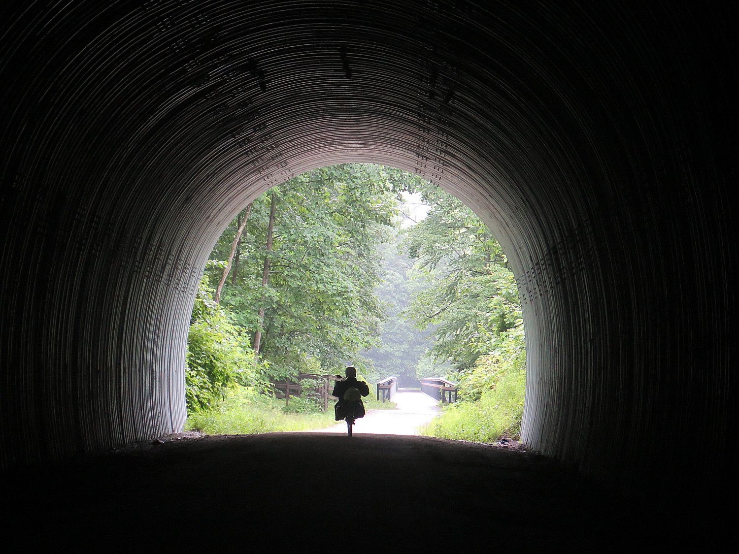
Our first day on this year’s Rails-to-Trails Conservancy’s Sojourn biketour on the Great Allegheny Passage and the Montour Trail, 140-miles biking over six days through Western Pennsylvania, brought us from Deal to Meyersdale with a side-trip that brings us across the Eastern Continental Divide (with gorgeous murals on the tunnel depicting the story), to the Mason-Dixon Line and a striking monument. It is a relatively short ride that brings us to the tented city we create at Meyersdale’s community park. We have time to explore, and to enjoy the town’s gracious hospitality with a dinner at the firehouse and pancake breakfast, complete with Meyerdale’s famous maple syrup, in the gym of the former high school.
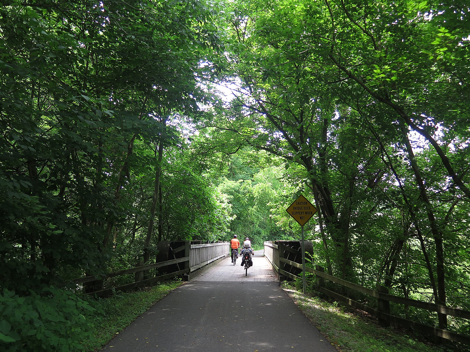
Day 2: On the second day, we also have an option: to cruise an easy 31 miles downhill to the Confluence Outflow Campground, riding through an enchanting tree tunnel, or taking an on-the-road route to ride up to Pennsylvania’s highest point, Mount Davis.
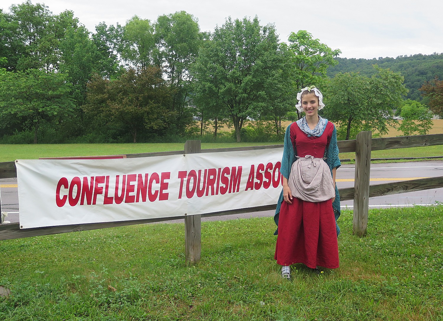
The forecast of rain all day makes the choice an easy one: the easy tree-tunnel route through tranquil forest. Despite some shelter from the trees, we get soaked, but it is a warm rain, and the amount of good cheer keeps us warmer still. The rain stops just as we arrive at Confluence, where we are greeted with two representatives of Confluence in period dress, inviting us to follow the balloons lining a route into the town center for free bike washes at the local cycle shop (and a gift!) and ice cream at the gazebo on the village green. Confluence, I am told, has a population of 700; for these two days, the census swells by 200 more. That evening, no one complains about the rain.
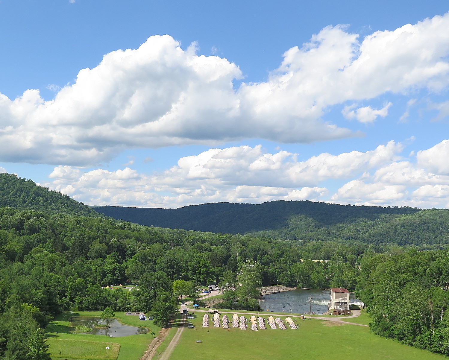
The campground is absolutely magnificent, literally at the base below the enormous dam, constructed in 1944 to control flooding and more recently, to generate hydroelectric power. It is a popular place for fishermen.
Just after our evening “talk” (a workshop on repairing our bike), and sitting around waiting for phones to recharge, we get word that there is a major storm at Ohiopyle, about 11 miles away. We have 10 minutes before it hits us. Sure enough, small drops start to fall as I am just steps away from the tent. By the time I get there, rain is coming down in sheets.
Day 3 is our “Fun Day” when we don’t cycle (unless we want to), but instead have a choice of activities: Fallingwater tour (designed by Frank Lloyd Wright), Kentuck Knob tour (designed by Frank Lloyd Wright), a rafting trip on the Middle Yough Class 1 – 2, or, the one I choose, a class 3 whitewater rafting trip on the Lower Yough.
In fact, 81 of us choose this option, organized by Wilderness Voyageurs, the same company that organizes the Rails-to-Trails Conservancy’s Sojourn rides including this one (the company has a catalog full of bike tours). I’ve done a fair amount of white water rafting trips in the past, but this one on the wonderfully scenic Youghiogheny River was absolutely the best – truly thrills and chills, especially since this is the only Class 3 rafting experience offered as a “guide-assisted” instead of having a guide in each raft. That means we are arbitrarily put into rafts and we “elect” a captain. This proves a great challenge and a great experience (I lasted about 5 minutes as captain, exactly one set of rapids, when one of our four rafters got bounced out and we all decided to go into other rafts, leaving one of the guides to portage the raft to a point where he could deflate it and pick it up later). Getting bounced out of the raft – going for a “swim” – is not unusual and we have been cautioned to only wear what can get wet or lost.
We aren’t really on our own – one guide positions himself on a rock and gives us hand signals how we should “attack” the rapid, where to enter and so forth (though the instructions are for naught when inexperienced paddlers can’t follow directions, forget which is left and right, or are being bounced so high, they can’t reach paddle into the water); other guides in a kayak and in a raft are there to pick up anyone who is bounced out, and three of the rafts have guides in them (that’s the one I go into). Over the course of the trip, several of us get tossed out of the raft; one fellow gets a bit beat up.
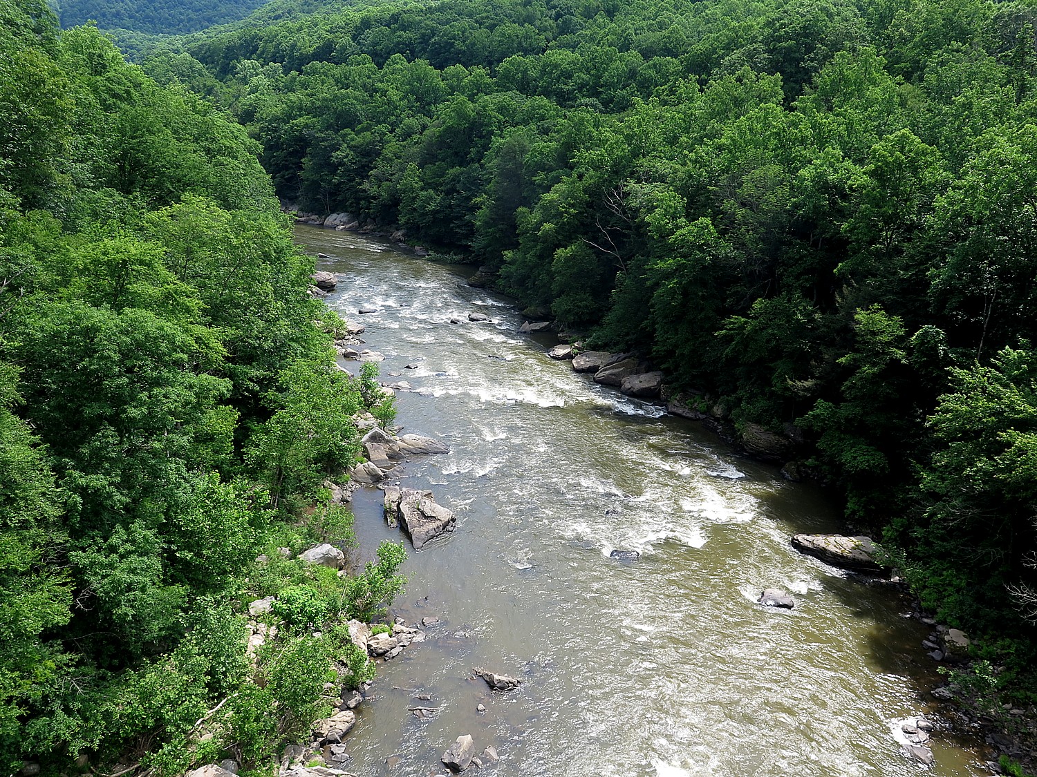
There is one point, though, where we come to an ominous sign warning that anyone who doesn’t want to raft through this particular set of rapids can portage their raft around it. The reason is because there is an underwater cavern, and if you get bounced out here, it is possible to be sucked down under. (Our guide says that most people die of heart failure rather than drowning. Small comfort.) The lead guide says that if any one of us in a raft wants to portage, the whole raft has to. We are in the lead raft and get to watch everybody coming through, cheering them on. Everyone makes it through.
We pull in for lunch at a small lagoon – we fill pita with chicken salad (fantastic) or tuna, cheese, lettuce and tomato, and have a wonderful time before continuing on down the river.
I don’t even know how long we are on the river – it all goes by so fast. But we are back at the campground by around 3 pm.
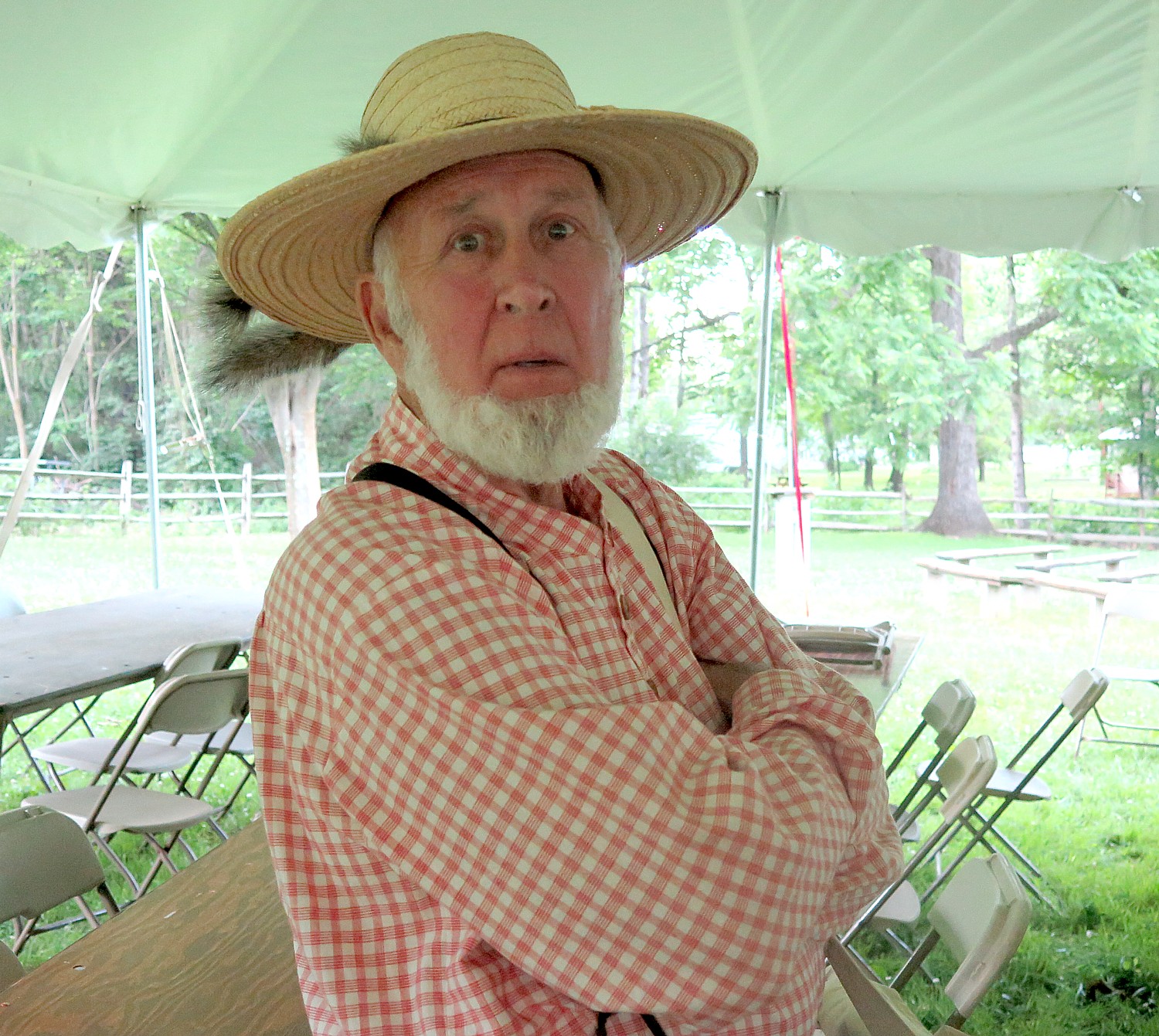
A few of us climb up to walk across the dam – the lake that was formed is popular for swimming and boating.
That evening, we are regaled by Pennsylvania Jack, a storyteller, and there is a campfire with s’mores.
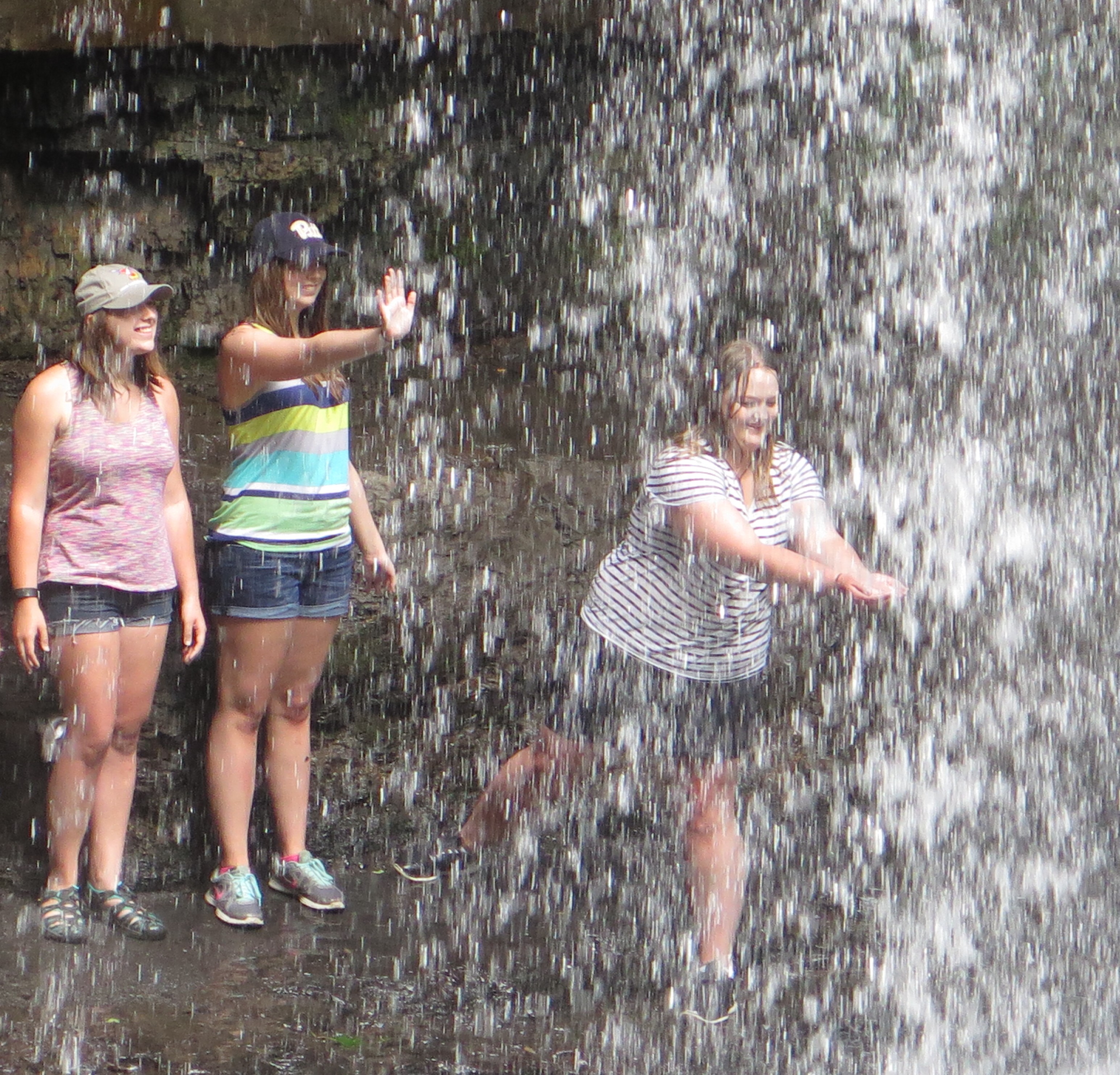
Day 4 is our longest ride – 58 miles on the schedule (albeit mostly downhill), but with an option that increases the distance to a touch over 62. This section of the Great Allegheny Passage, between Confluence and West Newton, where we camp, is the most scenic, with much of it going through the stunning Ohiopyle State Park (Pennsylvania’s largest in land area). We ride along the river for just about the entire distance. When we reach the Ohiopyle State Park Visitors Center, about 11 miles into the ride, I go off the trail to do a hike that I had heard about the year before: Cucumber Falls. I had seen a painting of it in the Visitors’ Center, where there is an excellent historic exhibit, and heard about a hike starting a short walk from the center, and always regretted not doing the hike then.
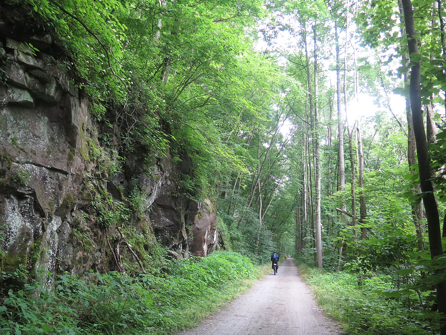
“Follow the yellow feet on the sidewalk,” they tell me. The hike is just about 25 minutes each way – a little over a mile – and proves absolutely enchanting: you follow yellow markings on trees and rocks, do some scrambling, and then, you make a turn and there ahead of you is the most magnificent falls, tucked into the woods. I felt as if I were John Muir coming upon Yosemite Falls for the first time.
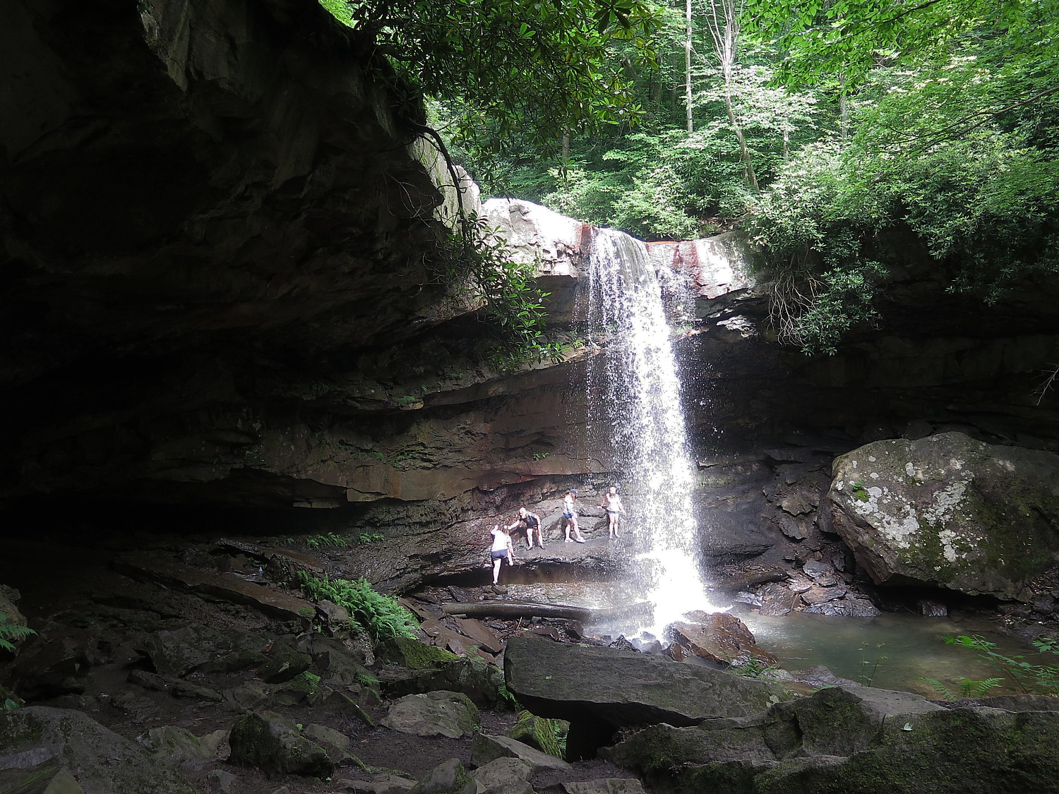
The lighting is perfect – just a touch of sunlight hitting the waterfall. It is a magical experience and I am transfixed.
(I heartily recommend this hike, which should add 1 to 1 ½ hrs to the day’s ride time.)
I’m calculating the extra time, as I get to mile 25.9 (not even halfway), when we have another option: to steer off about 2.1 miles on the Sheepskin Trail connector off the GAP, to go into the tiny town of Dunbar. Having visited last year, I knew this was an off-trail visit not to be missed, especially when you come in this way, off a back trail (even worth the half-mile over a rocky unimproved section). (See: Pascal Glass Sculpture with Trump Connection is Boon for Dunbar)
The sculpture and the rest of the historical society is really worth seeing (www.dunbarhistoricalsociety.com).
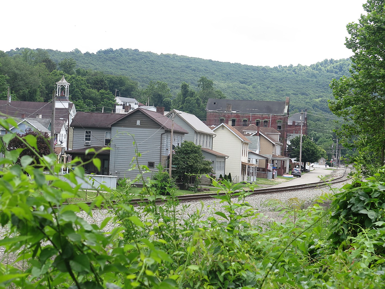
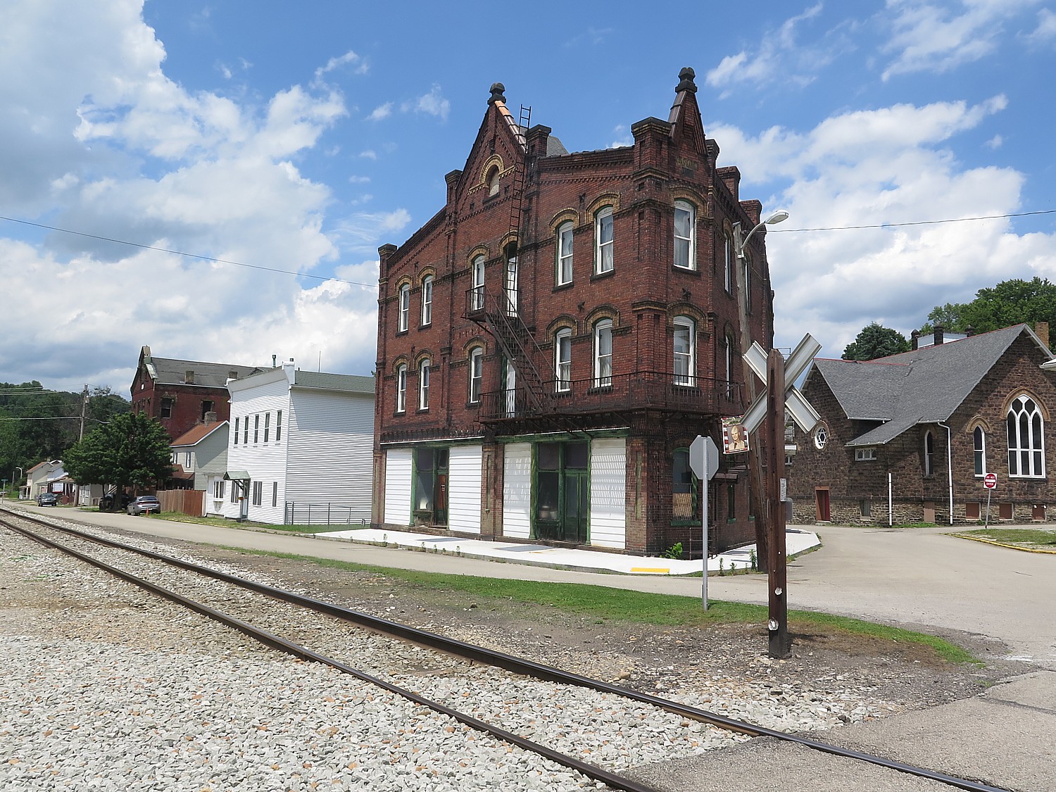
The train tracks come straight through the middle, as if a main street. On the village green is a coke oven and a memorial to those who died in a nearby mine accident.
RTC has basically adopted Dunbar as an example of how a town can be revitalized through tourism and culture.
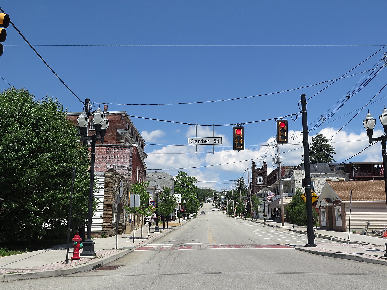
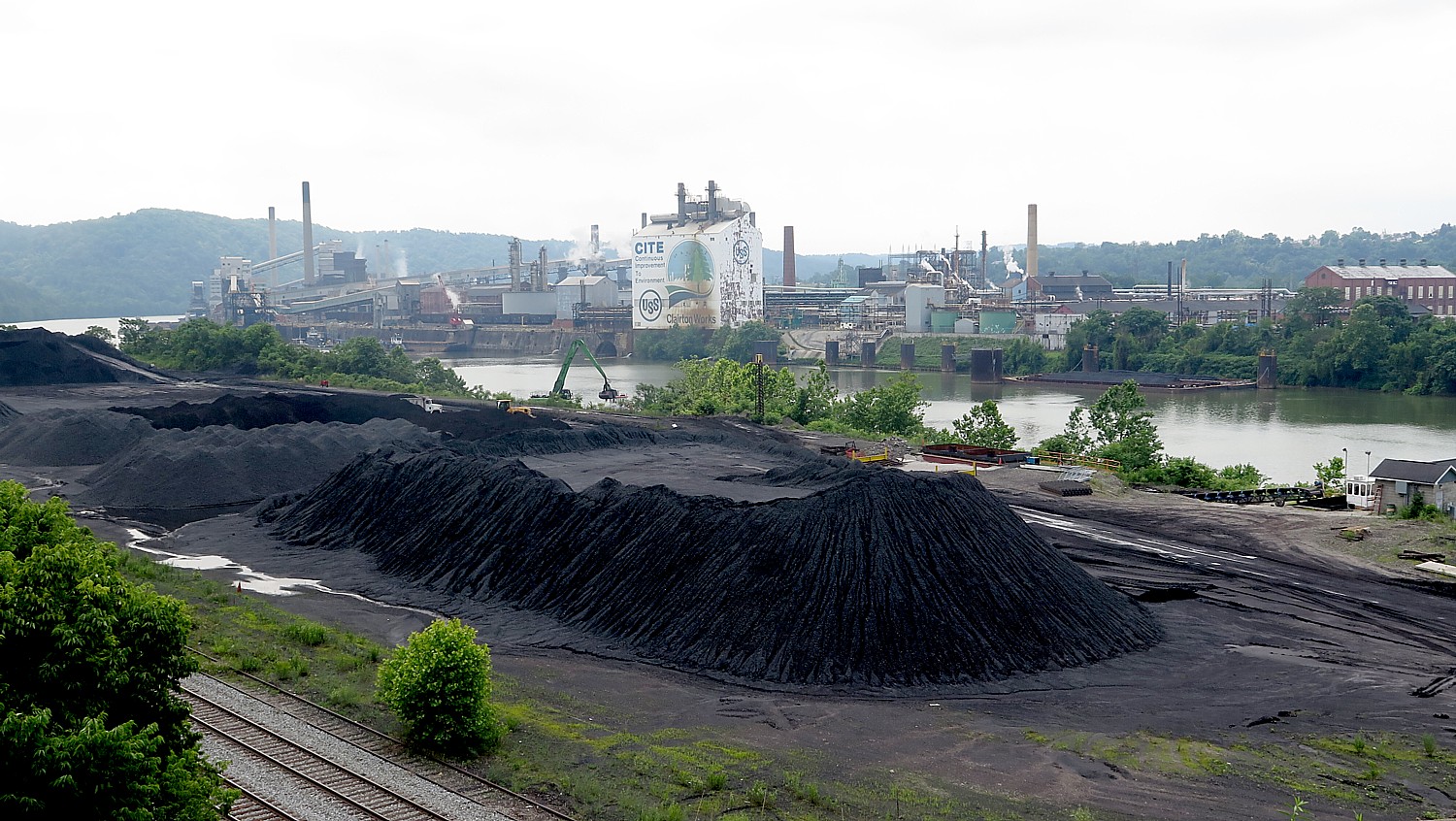
Day 5: This proves our most challenging day – not just because it is 48 miles of cycling after yesterday’s long ride, but I suspect because of the humidity and also because much of it, it seems, is uphill. But it also proves very interesting, as we leave the GAP after 17 miles (just after Boston, PA, where the trail becomes very urban, bringing a certain culture shock after such pastoral scenes.). To get from the GAP to the Montour Trail, we ride six miles on urban streets, through a small town of Glassport (where we are treated to snacks and cold water at a church), ride over a bridge to Clairton that gives us an eyeful into what I expect defined Pittsburgh just a couple of decades ago: a humongous pile of coal dwarfing the trucks scooping it up, and across the railroad tracks, a giant carbon materials and chemical plant. We finally get to the beginning of the Montour Trail, which includes several places where you are on/off the trail, on/off a shared road.
At one point, I ride around a bend and find myself in a different time zone or the Twilight Zone – a hodgepodge of train cars, trucks, firetrucks, gas pumps and signs from the 1940s or so, as if they were just left there. After a rocky start, the Montour Trail becomes as idyllic as the GAP, nestled in trees. A highlight is the 600-foot long National Tunnel.
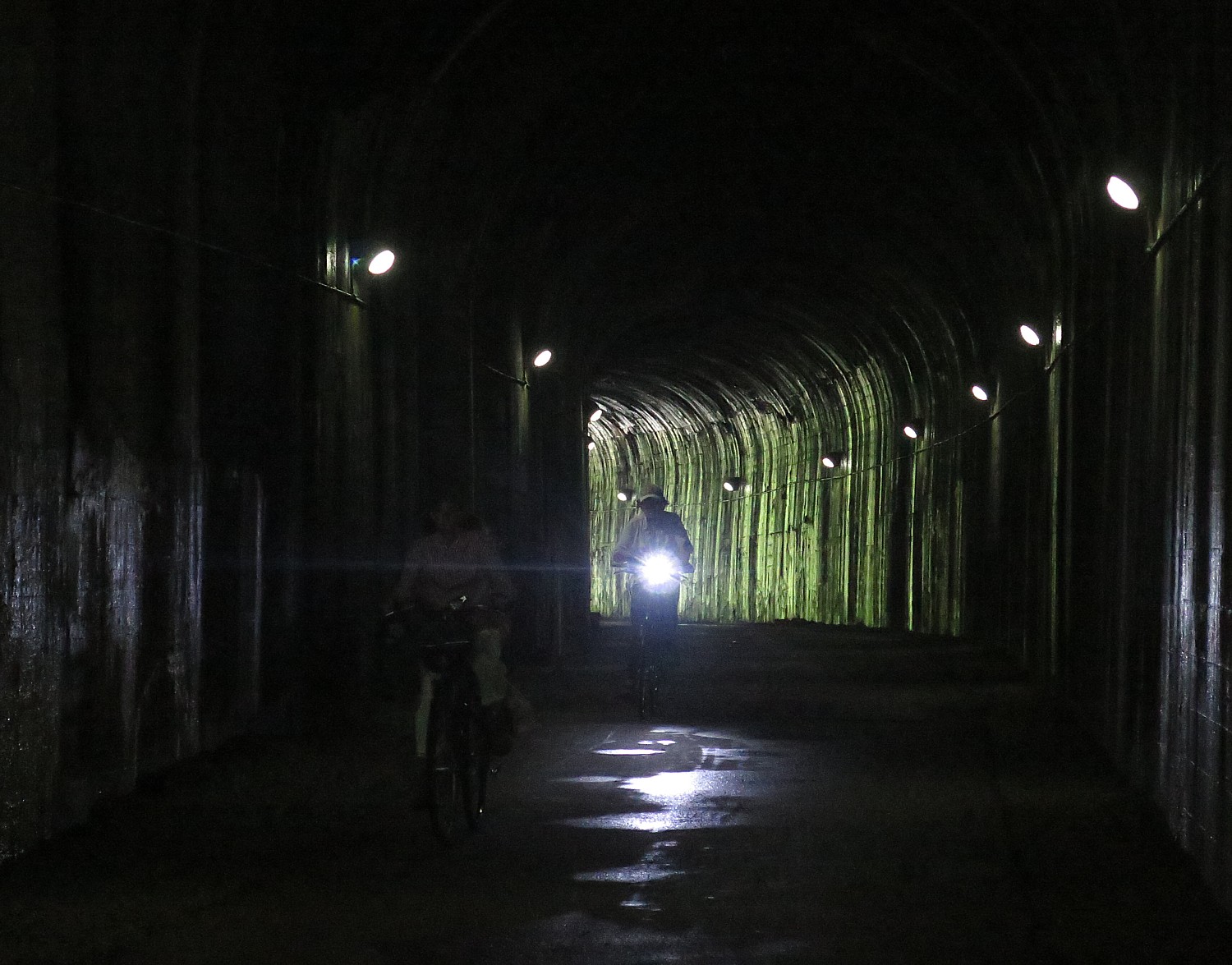
We finally arrive at the small town of Cecil, where we camp at the Cecil Township Ballfield Park, and are treated to an absolute banquet (no kidding), Sierra Nevada beer, and finish off with a talent show.
It pours during the night (I am snug in the Comfy Camper tent), but amazingly stops just in time for breakfast. We are told to expect a break in the rain from 8 to 11am – exactly how much time we need to go the 26 miles to the end of our ride, including the last mile of the Montour Trail (actually an added mile that goes beyond the zero-milepost that they are working to improve), which is very definitely “off road”. The trail is really nice – it is wonderful to see how local communities show their pride and appreciation for the trail with beautiful gardens and rest stations. It also offers an example of the serendipity that takes place on the trail: I suddenly come upon what appears a depot of antique trucks, cars, gas station pumps and signs – either the historical society or a warehouse for theatrical props.
This last day’s ride also lets us see some of the “hybrids” and innovations in repurposed multi-use trails – a section of the Montour is a trail-beside-a-rail – the multipurpose trail is carved out of the right-of-way beside the active rail line.
We also literally ride over the “Panhandle” Trail which goes to Parkersburg West Virginia, with the connector that ultimately will allow bikers to cycle from Pittsburgh to Parkersburg (PtoP).
As for the rain, sure enough, as I pull into the parking lot at 11:15 am, the drops turn into deluge in a matter of moments.
Rails-to-Trails Conservancy, Washington, DC 20037, 202-974-5150, Railstotrails.org, TrailLink.com.
Rails-to-Trails Conservancy’s Sojourn is a wonderful introduction to bike touring.
Wilderness Voyageurs, which operates the Sojourn on the GAP for Rails-to-Trails Conservancy, offers Ride the GAP trips with bed-and-breakfast accommodations (they portage luggage from inn to inn), as well as a full catalog of guided bike tours that includes Colorado; Missouri’s Katy Trail; Idaho’s Hiawatha & Coeur D’Alene; South Dakota’s Mickelson & the Badlands; the Erie Canal, Finger Lakes, and Adirondacks in New York; Shenandoah and the Civil War; Gettysburg & the Civil War; Maryland’s Chesapeake Bay; Pittsburgh to DC on the GAP & C&O; Pennsylvania’s Amish Country; Kentucky’s Bike & Bourbon; Georgia’s Gold Coast; and a biking trip in Cuba. (855-550-7705, Wilderness-Voyageurs.com)
See also:
Rails-to-Trails Conservancy’s BikeTour on Great Allegheny Passage Highlights Benefits of RailTrails
Pascal Glass Sculpture with Trump Connection is Boon for Dunbar, Pennsylvania
______________
© 2017 Travel Features Syndicate, a division of Workstyles, Inc. All rights reserved. Visit goingplacesfarandnear.com, www.huffingtonpost.com/author/karen-rubin , and travelwritersmagazine.com/TravelFeaturesSyndicate/. Blogging at goingplacesnearandfar.wordpress.com and moralcompasstravel.info. Send comments or questions to FamTravLtr@aol.com. Tweet @TravelFeatures. ‘Like’ us at facebook.com/NewsPhotoFeatures
