By Karen Rubin, Travel Features Syndicate, goingplacesfarandnear.com
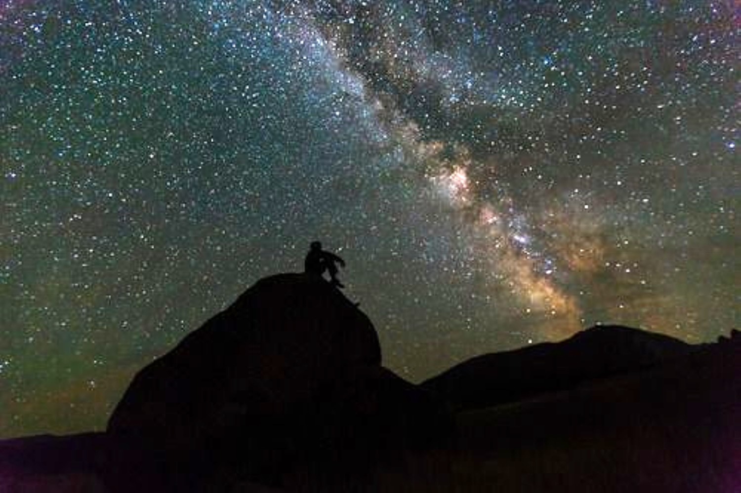
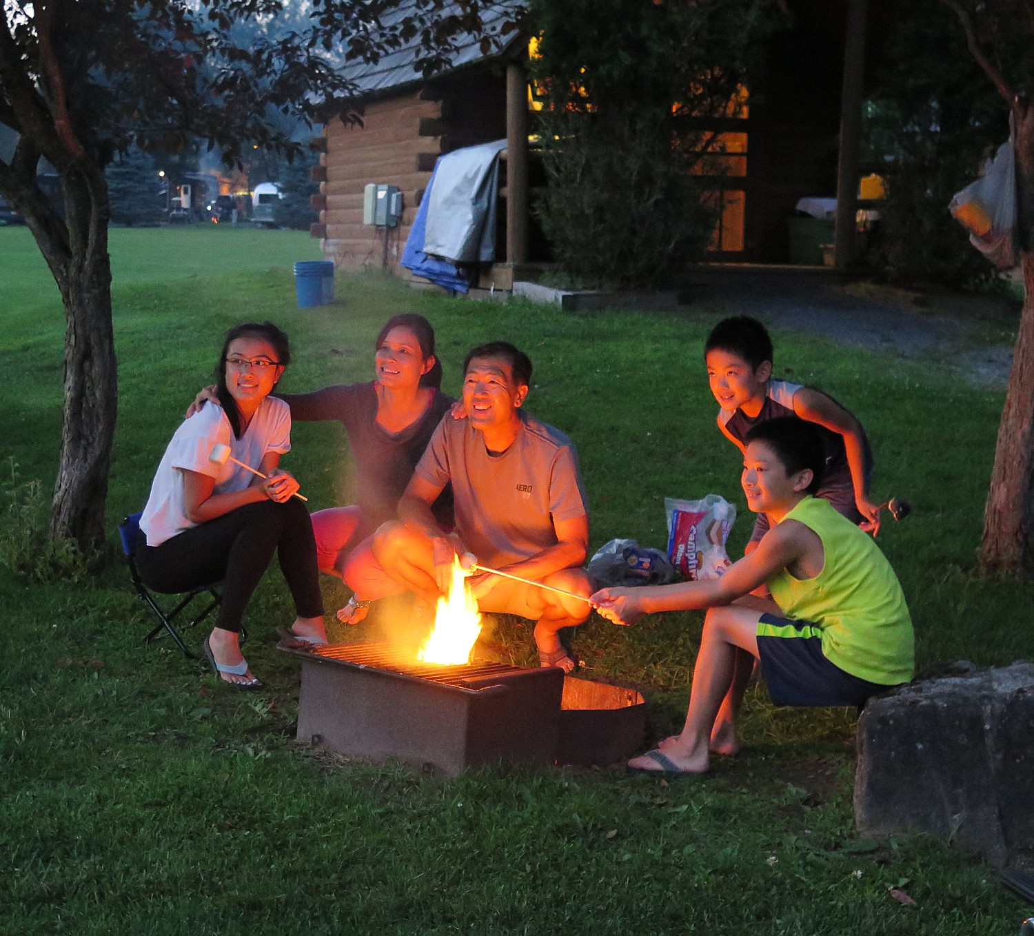
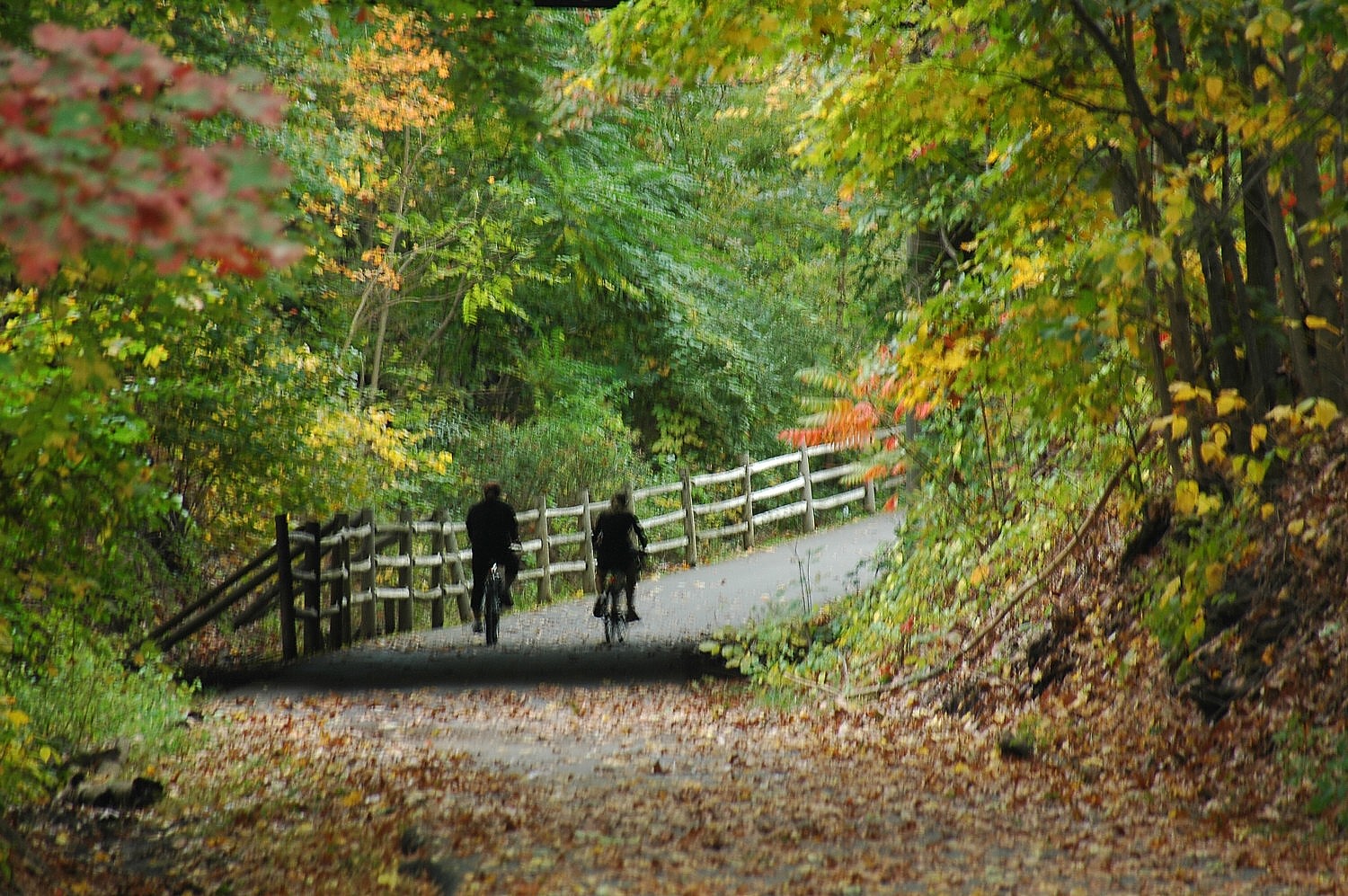
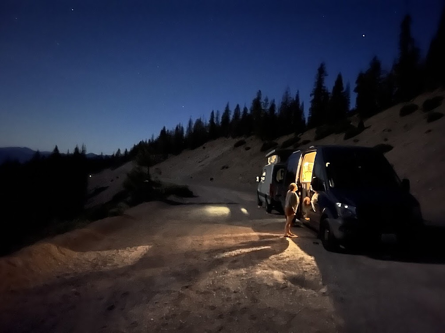
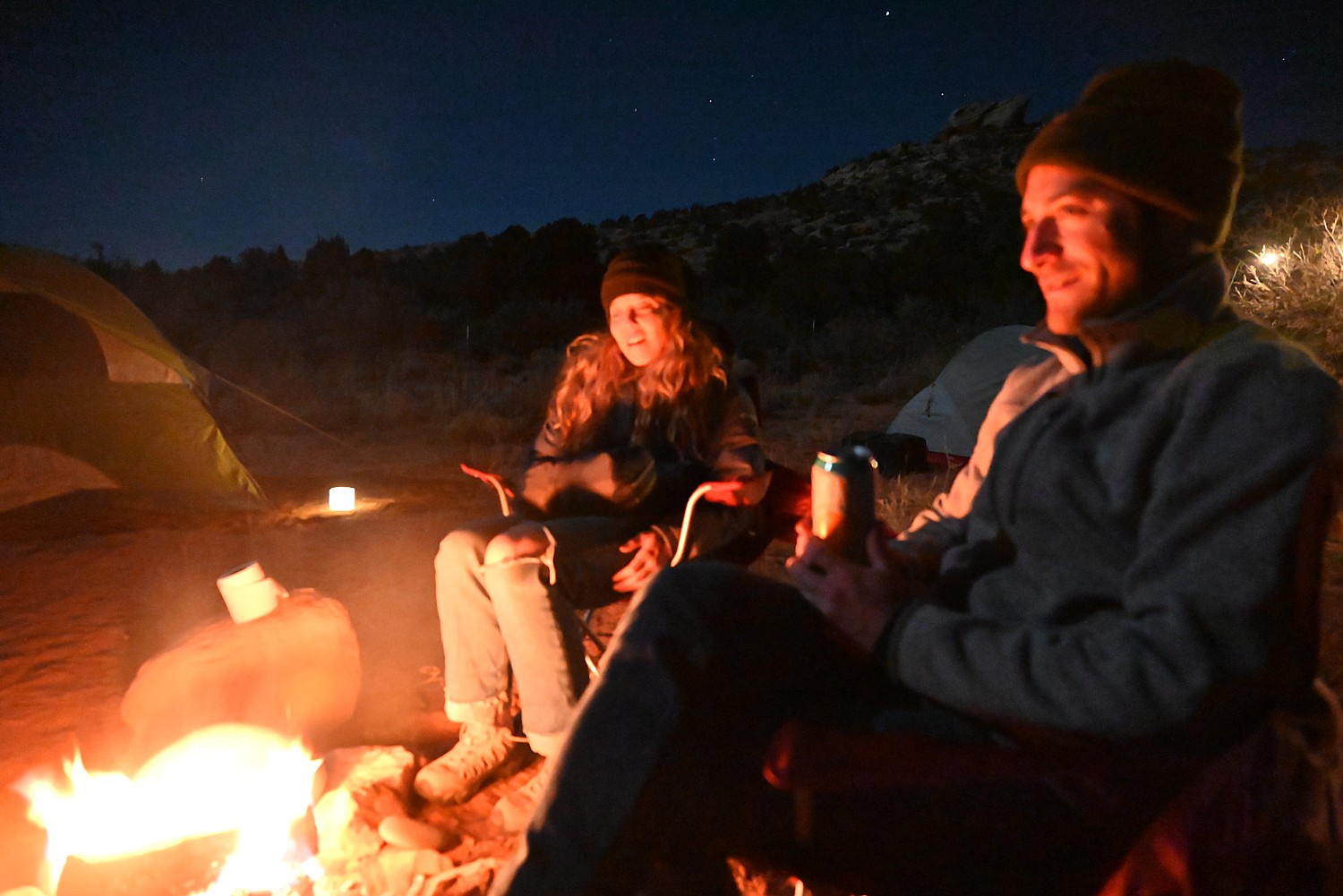
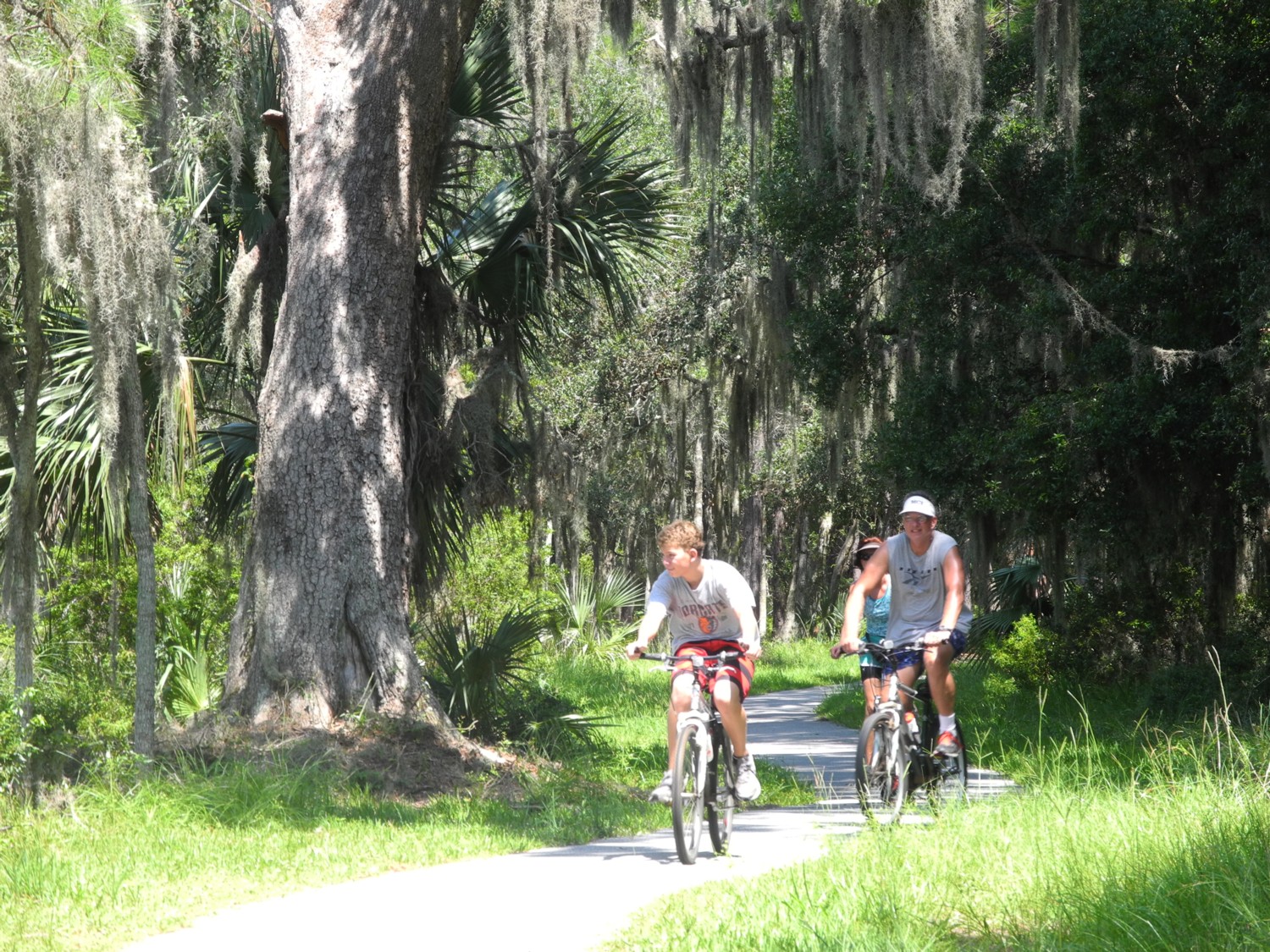
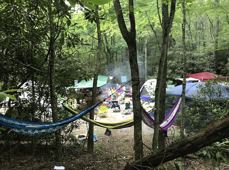
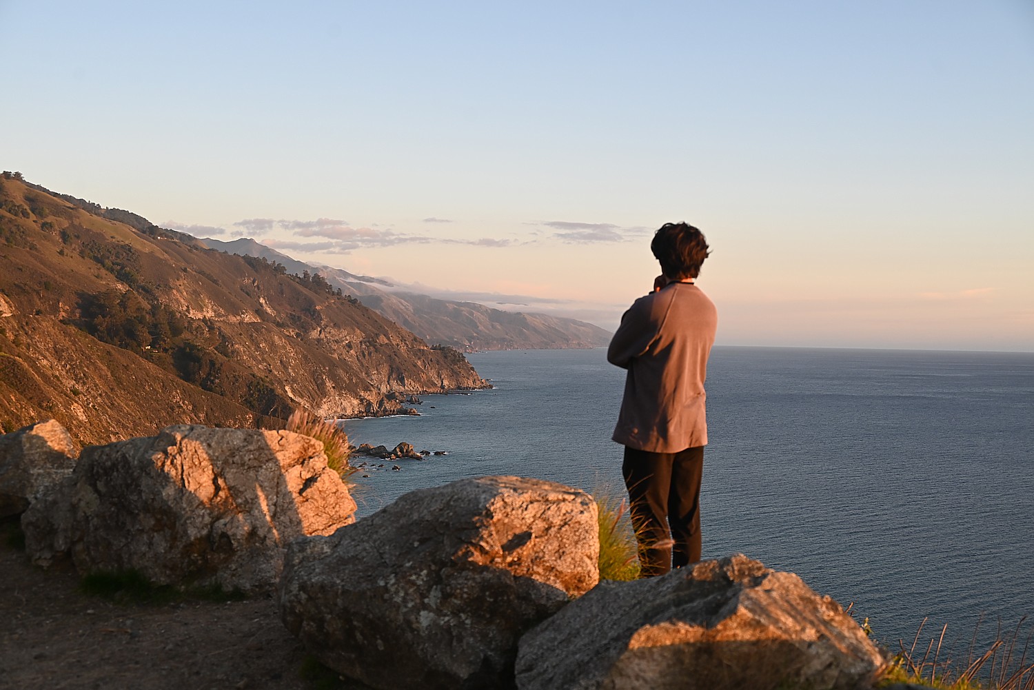
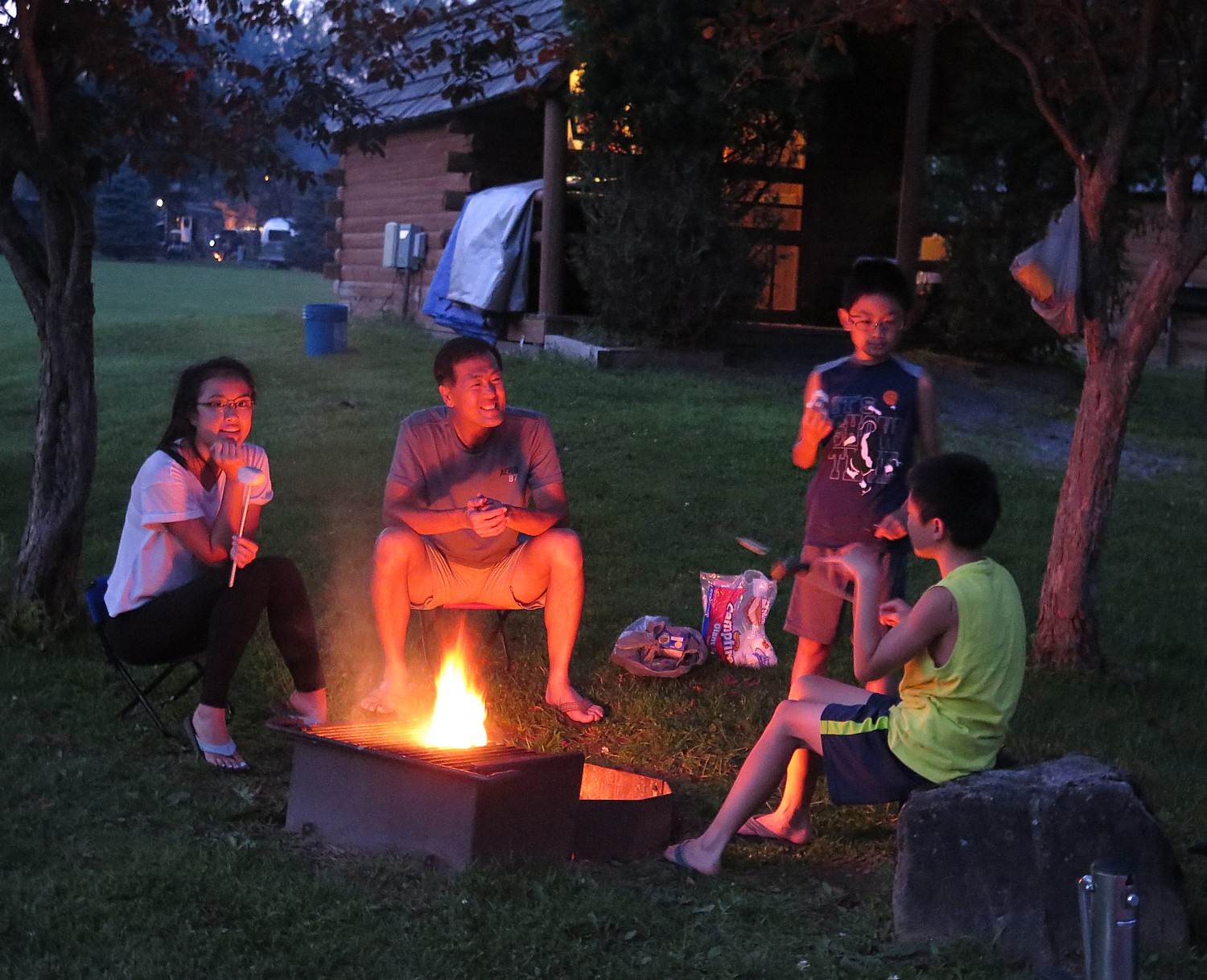
The combination of a return to the roadtrip and a desire to experience nature, adventure, and yes, choosing a more economical summer vacation is spurring heightened interest in camping, glamping, RVing and ad-vanturing.
“Outdoor hospitality is central to how travelers prioritize wellness, connection and meaningful experiences,” KOA’s 12th annual Camping and Outdoor Hospitality Report finds. More are choosing camping for emotional and physical wellness, to be in nature, recharge and be restored, and get back to the basics of personal relationships and being in the “now”.
There are several sources to find the best places depending upon what you want to do (Family-friendly? Dark skies? Route 66? National parks?), who is traveling and where you want to go, among them, campspot.com, koa.com, glampinghub.com and thedyrt.com.
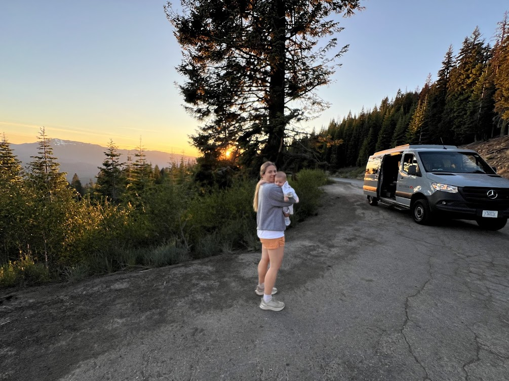
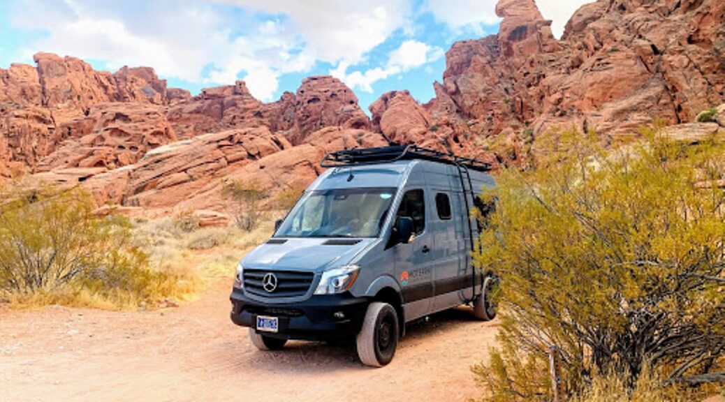
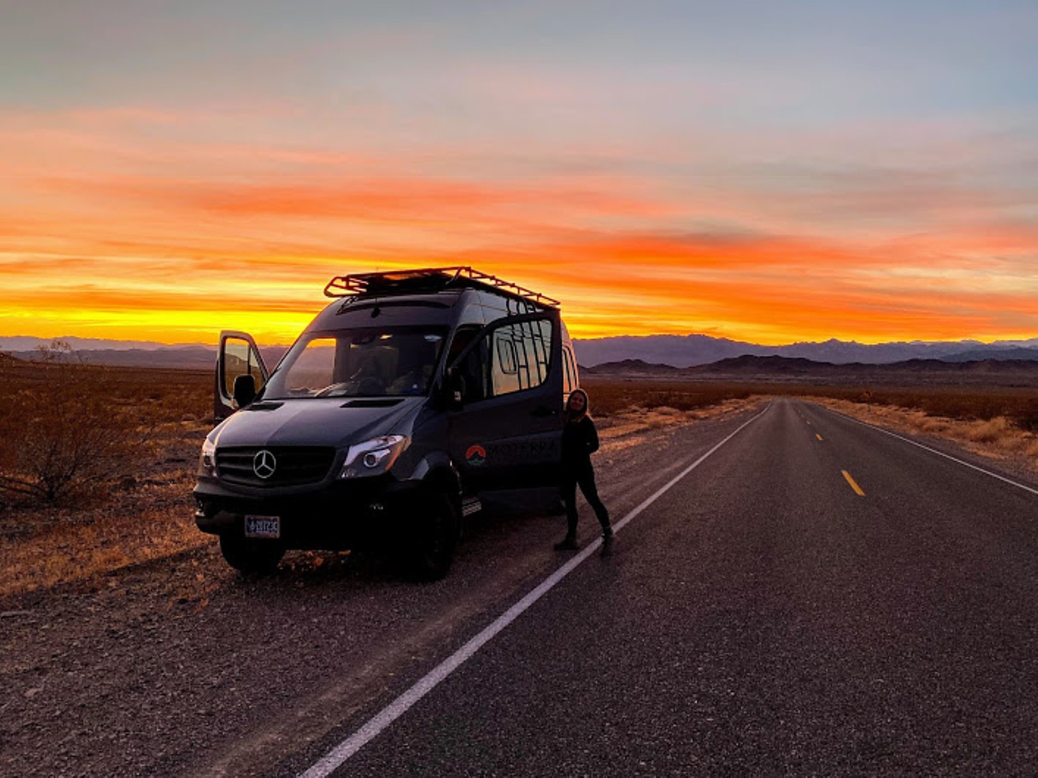
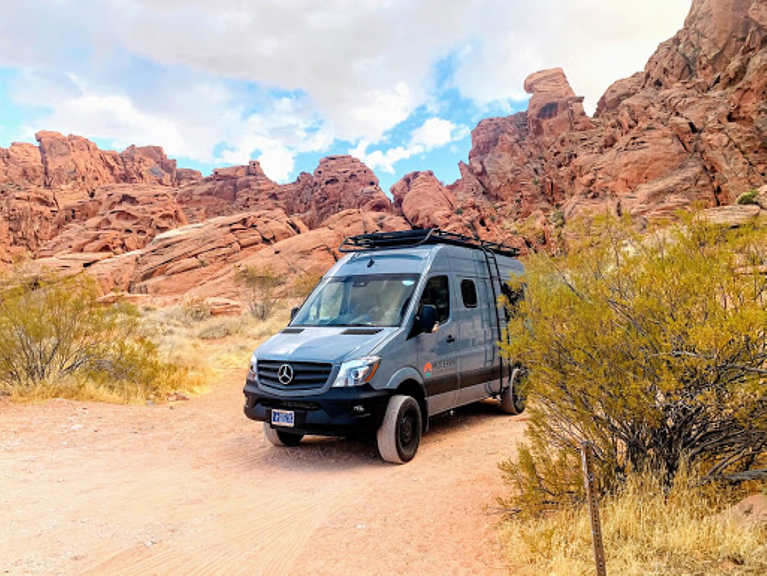
Crave an ad-vanture? Companies like Moterra (gomoterra.com), Escape Campervans (escapecampervans.com), Travellers Autobarn (travellers-autobarnrv.com) and Roadsurfer (roadsurfer.com) rent campervans that drive like an SUV but are totally self-sufficient.
Campspot Awards
The 2026 Campspot Awards highlight the best campgrounds across North America, recognized for their amazing locations, outstanding amenities and the experiences they offer.
Their list of Top Campgrounds in the US in 2026:
Sun Outdoors Myrtle Beach, Conway, SC: Enjoy a splash of Southern charm at Sun Outdoors Myrtle Beach. Located in Conway, just minutes from the excitement of the Grand Strand, this resort offers a refreshing escape among the loblolly pines. Perfect for families who want high-energy fun and travelers looking for a relaxing retreat. Amenities include Waterpark, Pool. Hot Tub / Sauna, Dog Park, Cable TV. Arcade, Mini-Golf, Golf Cart Rental, Restaurant, Playground. Basketball, Jumping Pillow, Shuffleboard, Internet Access, General Store, Pavilion
Stone Mountain Park, Stone Mountain, GA is Nestled among 3200 acres of natural beauty just outside of Atlanta, and features over 400 RV, Pop-up, and Tent sites as well as Yurt, Safari Tent, and RV Rentals. The park offers recreational activities and family-friendly attractions and events. Amenities include Waterfront, Pool, Bathrooms, Showers, Laundry, Pavilion.
Jekyll Island Campground, Jekyll Island, GA: A magical getaway among oak trees draped in Spanish moss, close to Clam Creek and Driftwood Beach as well as the many other attractions. Amenities include Bike Rental, Bathrooms, Showers, Internet Access, General Store, Laundry, Pavilion
Ocean Grove RV Resort, St. Augustine, FL, is a destination camping resor just blocks away from St. Augustine Beach and only 5 miles south of the old St. Augustine historic district and St. George Street. Enjoy wonderful restaurants, shops, hiking, and entertainment venues. Amenities include Waterfront, Pool, Fishing, Hot Tub / Sauna, Dog Park, Boat Launch, Cable TV, Restaurant, Playground, Ice Cream, Basketball, Live Music, Bathrooms, Showers, Internet Access, General Store, Laundry, Pavilion.
Camp Margaritaville RV Resort Breaux Bridge, Henderson, LA is a full-service campground resort located in Baton Rouge with 400 RV sites and 90 cabins to accommodate all types of camping and glamping needs and a wide range of high-end amenities. The resort features 3 pools, hot tub, waterpark, fishing, dog park, Mini-Golf, Golf Cart Rental, Arts & Crafts, Restaurant, Playground, Basketball, GaGa Ball, Live Music, Bathrooms, Showers, Internet Access, General Store, Special Events.
The Vineyards Campground & Cabins, Grapevine, TX, set along the picturesque shores of Grapevine Lake, is renowned for its serene ambiance, scenic landscapes, lakeside panoramas, and attentive staff. Choose from spacious pull-thru sites or cozy, fully-furnished cabins. Amenities include Canoeing / Kayaking, Beach, Waterfront, Fishing, Bike Rental, Boat Launch, Cable TV, Golf Cart Rental, Playground, Ice Cream, Basketball, Bathrooms, Showers, Internet Access, General Store, Laundry, Pavilion, Special Events
Camp Fimfo Texas Hill Country, New Braunfels, TX, offers a resort experience on the Guadalupe River. Amenities include Waterfront, Waterpark, Pool, Fishing, Hot Tub / Sauna, Dog Park, Cable TV, Mini-Golf, Golf Cart Rental, Arts & Crafts, Restaurant, Playground, Ice Cream, Basketball, Jumping Pillow, Sports Field, Volleyball, Bathrooms, Showers, Internet Access, General Store, Snack Stand, Laundry, Pavilion, Special Events, Zip Line.
Verde Ranch RV Resort, Camp Verde, AZ, is a gateway to Arizona’s most iconic destinations. Nestled in the scenic Verde Valley, the resort is a short drive from the red rocks of Sedona, the historic charm of Jerome, and day trips to Grand Canyon National Park. Amenities include Waterpark, Pool, Hot Tub / Sauna, Dog Park, Bike Rental, Cable TV, Arcade, Golf Cart Rental, Arts & Crafts, Playground, Ice Cream, Shuffleboard, Bathrooms, Showers, Internet Access, General Store, Laundry, Special Events
Bonelli Bluffs RV Resort & Campground, San Dimas, CA offers a peaceful retreat just 45 minutes east of Los Angeles at the base of the San Gabriel Mountains. Amenities include a beach-front park, two sparkling pools, outdoor fire pits, and activities including Hiking, Fishing, Playground, Basketball, Volleyball, Bathrooms, Showers, Internet Access, General Store, Laundry
Yogi Bear’s Jellystone Park™ Tower Park, Lodi, CA: was named the best campground in California for families by Camp Jellystone. The Northern California campground is a short distance away from Sacramento. Amenities include Canoeing / Kayaking, Beach, Waterfront, Waterpark, Pool, Fishing, Hot Tub / Sauna, Dog Park, Boat Launch, Cable TV.
In addition to Top Campgrounds in the US, other Campspot Awards listings include: Top Campgrounds in Canada, Top Campgrounds for RVs, Top Campgrounds for Tent Camping, Top Campgrounds for Glamping, Top Small Campgrounds, Top Mid-Size Campgrounds, Top Large Campgrounds, Top Unique Campgrounds, Top for Families, Top Campgrounds for Long Term Campings and Top Public Campgrounds.
Find them at https://www.campspot.com/awards/2026
The Dyrt: Best Places to Camp With Kids
The Dyrt, an app for finding best-rated campsites, has announced the 2026 Best Places to Camp With Kids Presented by Kelty, an outdoor gear brand known for equipment that makes it easier for families to get outside and explore together.
Best Places to Camp With Kids recognizes the top campgrounds in the country that cater to younger campers with such amenities as playgrounds, fishing ponds, arcades and bounce houses, as well as activities for days and respite for parents to enjoy the great outdoors themselves. The list includes:
Normandy Farms Campground — Massachusetts
Greenbrier Campground — Tennessee
Disney’s Fort Wilderness Resort & Campground — Florida
Spacious Skies Bear Den — North Carolina
Dinosaur Valley State Park Campground — Texas
HTR Niagara Campground — New York
Camp A Way Campground — Nebraska
Ocean Lakes Family Campground — South Carolina
Jellystone Park™ Quarryville — Pennsylvania
Lebanon Hills Regional Park — Minnesota
The Dyrt: Best Places to Camp for Free
The Dyrt also compiled a list of 2026 Best Places to Camp for Free Presented by Vanlife Trader, a marketplace for buying and selling campervans.
Best Places to Camp for Free recognizes the top campgrounds primarily on public lands managed by the US Forest Service or the Bureau of Land Management rated highly by The Dyrt Community where there are no fees to stay overnight.
Dragoon Mountains — Tombstone, Arizona
Felt Picnic Area — Felt, Oklahoma
Mower Basin — Durbin, West Virginia
Meadow Hot Springs — Meadow, Utah
Fish Lake Valley Hot Springs — Dyer, Nevada
Mt. Roosevelt — Deadwood, South Dakota
Minietta Road — Death Valley, California
Osage State Fishing Lake —Scranton, Kansas
Cosmic Campground — Glenwood, New Mexico
Morgan Mountain Road/Spy Rock —St. Paul, Arkansas
The most important part of camping on public lands is to practice Leave No Trace principles and try to leave each place better than you found it. Where fires are allowed, be sure to check local regulations first, as many of these spots are in forested land that may be subject to temporary fire bans.
More details: The Dyrt Announces Best Places to Camp for Free Presented by Vanlife Trade
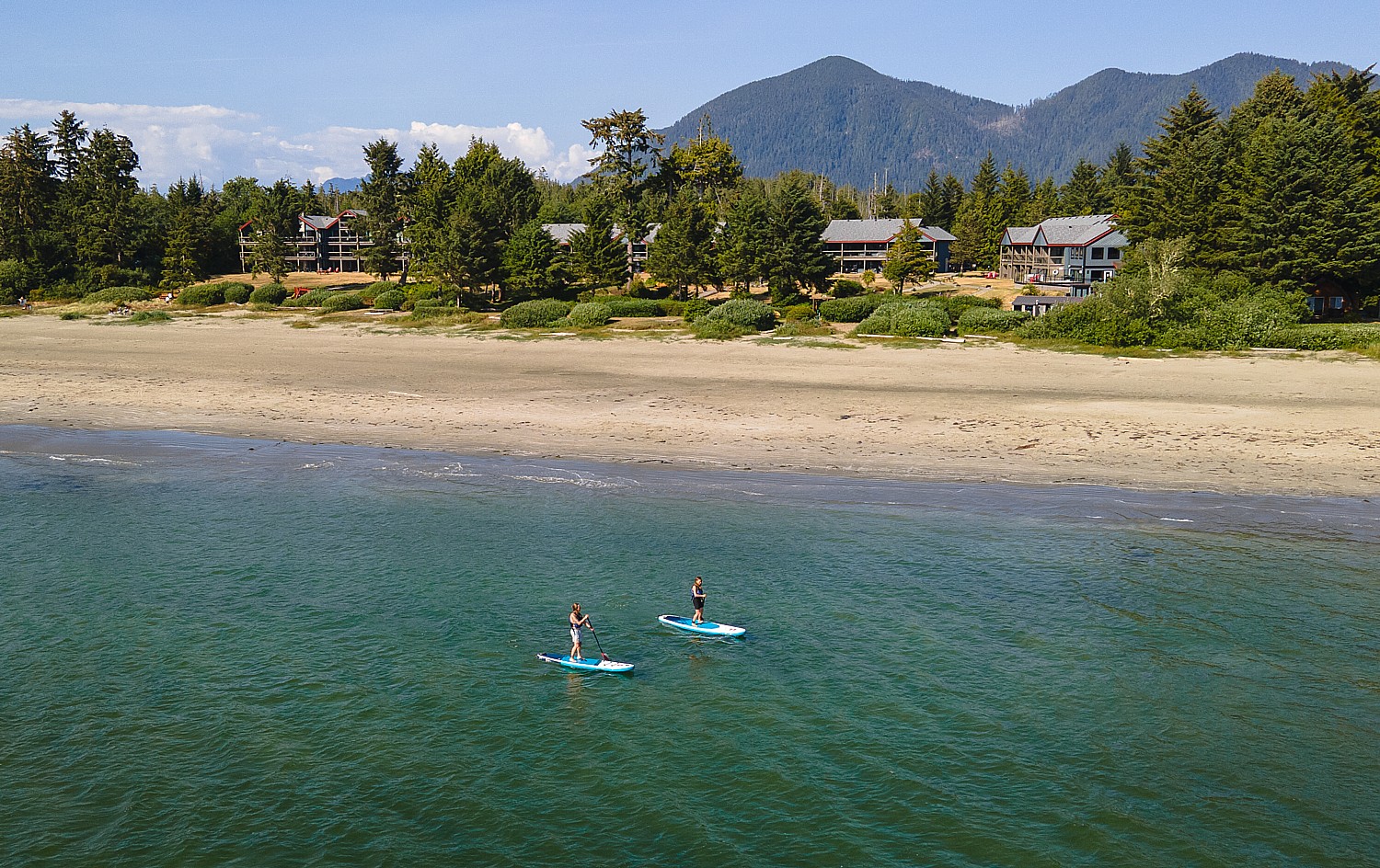
The Dyrt Creates Pacific Coast Highway Road Trip and Camping Guide
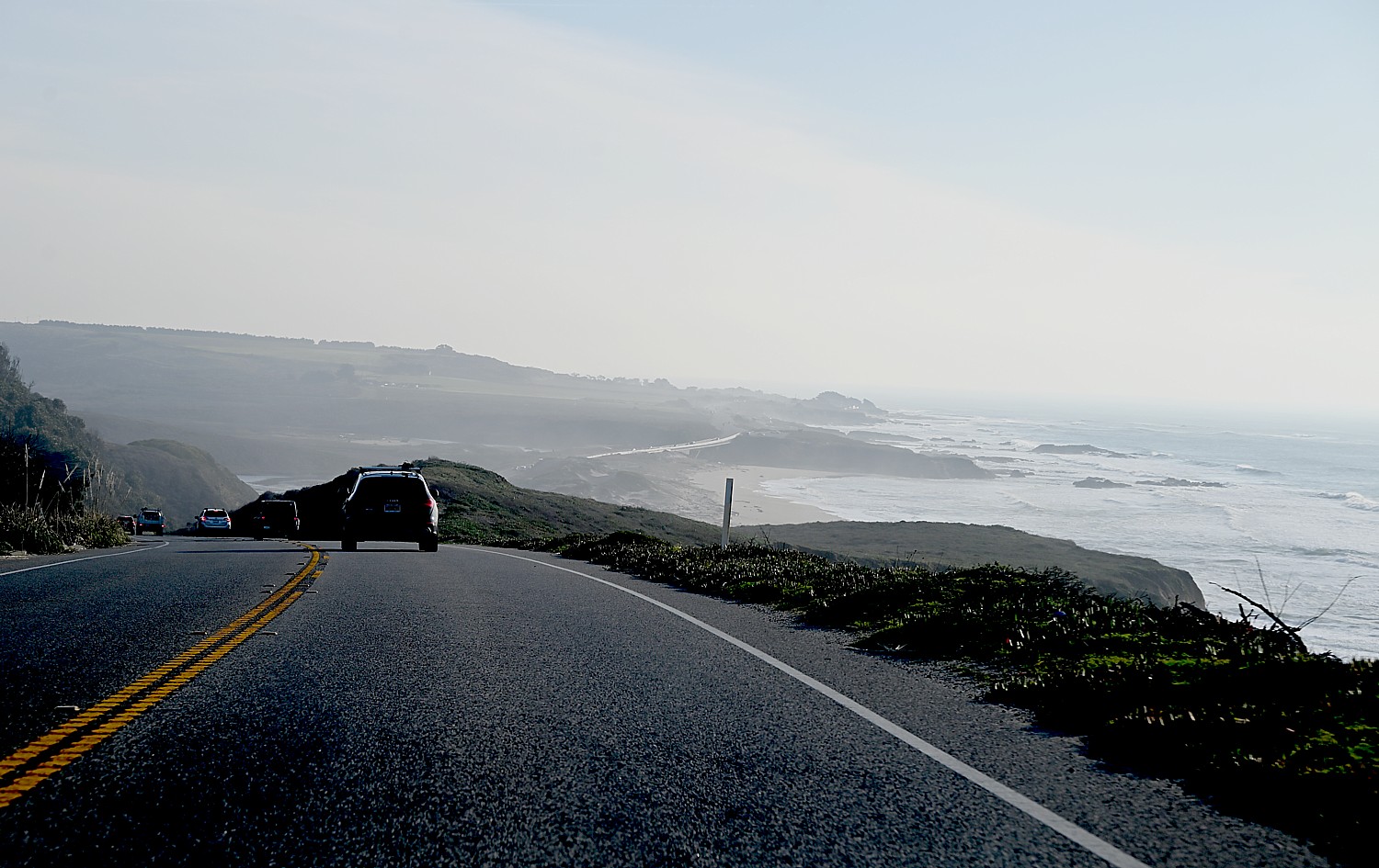
The Dyrt has created a comprehensive Pacific Coast Highway Road Trip guide presented by T-Mobile to highlight the best campgrounds and attractions along the route, 1,650 miles from Port Angeles in the wilds of Olympic National Park in Washington all the way down to the sunny shores of San Diego.
The guide contains a brief history and key facts about the Pacific Coast Highway, the recommended duration of the full trip taking into account time for exploration, and the best campgrounds to stay.
“There are so many iconic road trips and amazing camping properties all over the country, but the sheer beauty of traveling along the PCH and camping under the stars near the Pacific Ocean may be unmatched anywhere in the world,” says Kevin Long, CEO of The Dyrt. “We recommend making this a two- to three-week trip, if possible, between June and September. Experiencing the rainforests, ocean cliffs, redwood groves, beaches and coastal towns in the summer months is as good as it gets.”
The journey also weaves through cultural landmarks, passing quaint fishing villages, artistic beach towns and major cities like San Francisco and Los Angeles that add urban dimension to the otherwise remote scenery. Generations of road trippers have made memories along this highway, whether surfing iconic breaks, visiting historic lighthouses or simply pulling off at bluffside viewpoints to gaze at the Pacific.
The guide provides The Dyrt’s official list of the Top 10 Best Places to Camp Along The Pacific Coast Highway, highlighting such renowned locations as Kalaloch Campground and Cape Disappointment State Park in Washington, River Bend County Park and Nehalem Bay State Park in Oregon, and Kirk Creek Campground and El Capitán State Beach in California. Each campground is located close to the main route to keep road trippers on schedule.
Within the comprehensive PCH road trip guide are smaller segment guides, which break the route into manageable stretches with day-by-day suggestions, campground notes and activity highlights. Planning tips are also included, with information on fuel and services, seasonal considerations, budgeting hacks and, most importantly when you’re on the road, connectivity.
See: Pacific Coast Highway Road Trip
Perfect for America 250t:: Family Camping in NYS
Herkimer Diamond Mines KOA Resort is a top-rated family camping, glamping and RV park in New York’s Mohawk Valley. Nestled between the Adirondack Mountains and the Catskill Mountains, the Herkimer Diamond Mines KOA Resort offers one of the most unique camping experiences in the Northeast.
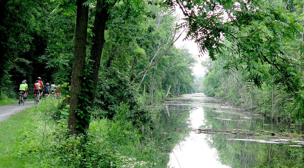
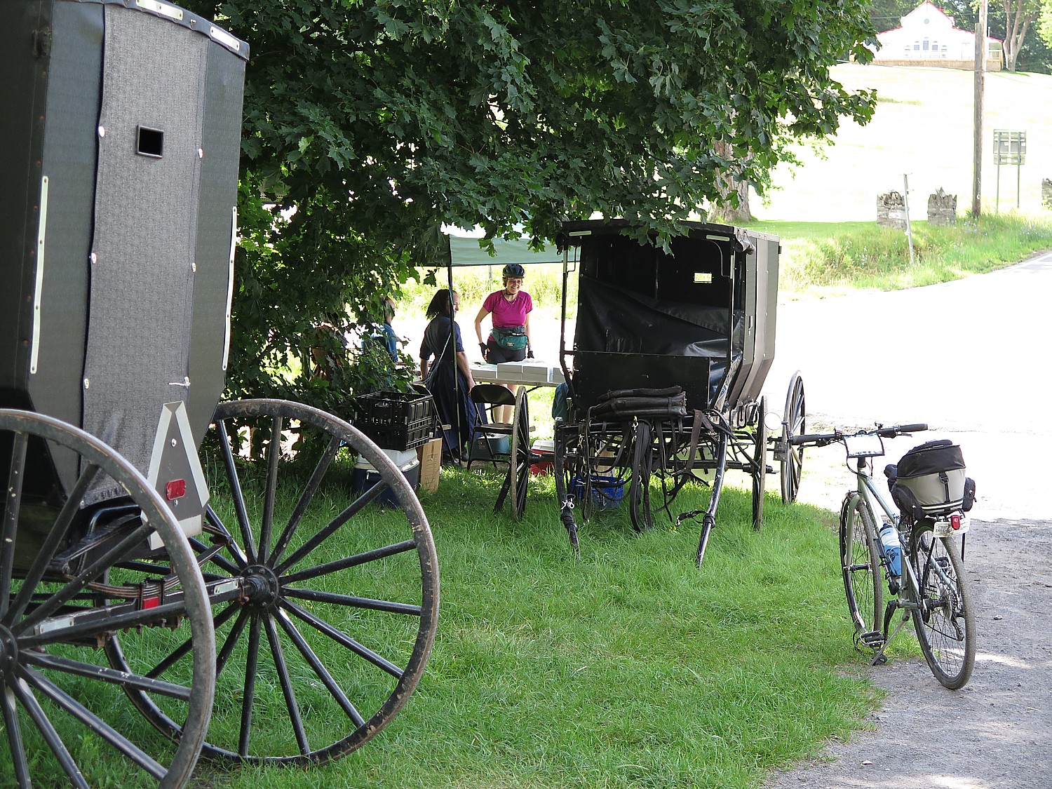
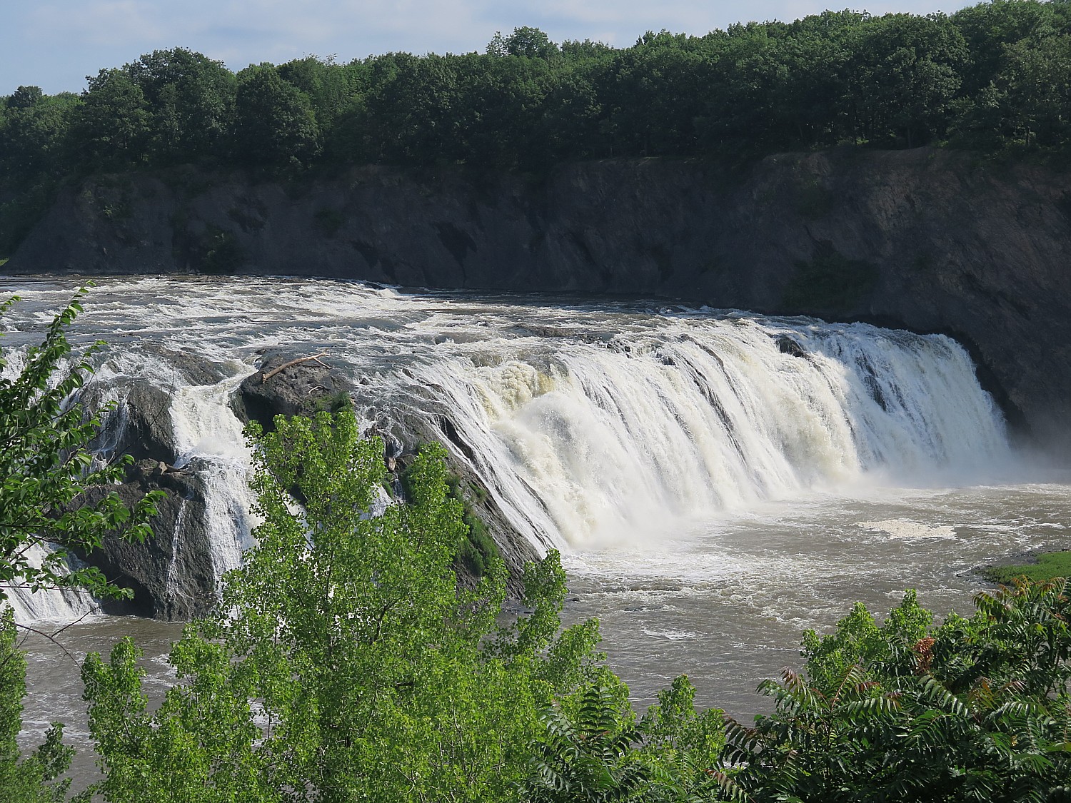
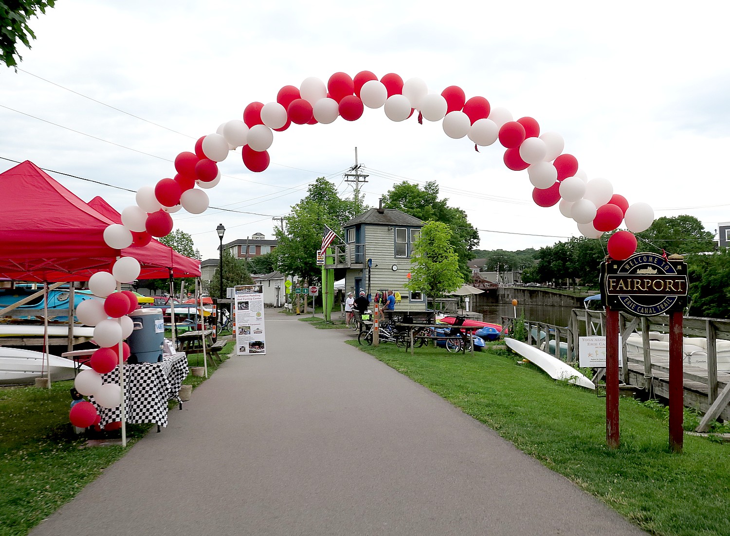
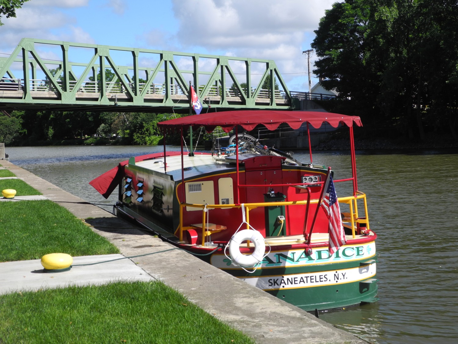
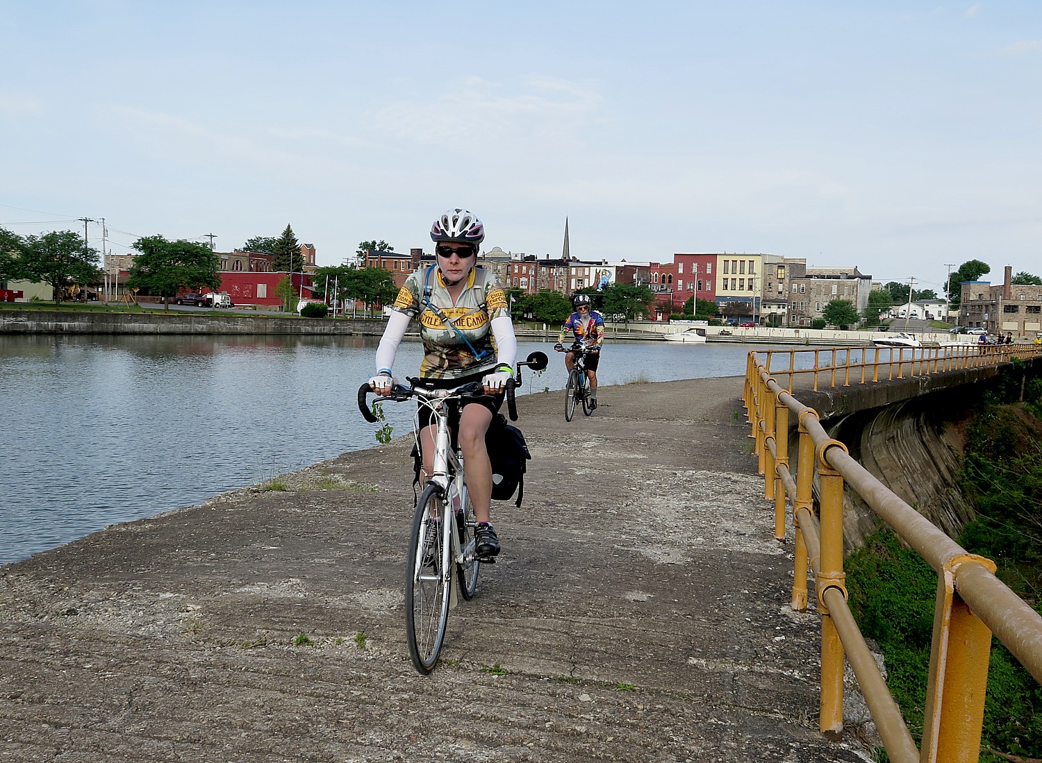
Located along the West Canada Creek and near the Historic Mohawk River and Erie Canal, you can bike the towpath along the canal that united the continent, turned the US into an industrial global power and New York City as the financial capital of the world and take a boat trip through a lock, and go tubing in the creek. But what is truly unique and memorable is the world-famous Herkimer Diamond Mines, where you actually can quarry (and keep) your own “Herkimer Diamonds.”
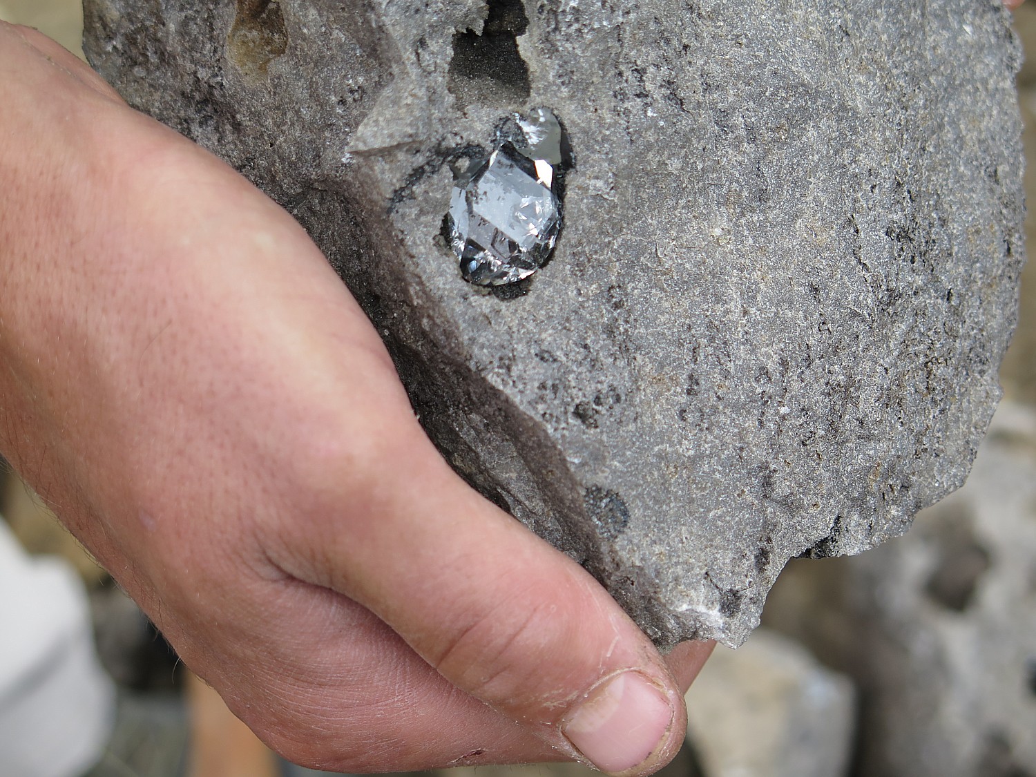
These naturally faceted quartz crystals, known as “Herkimer Diamonds,” are over 500 million years old and prized for their clarity and brilliance (they were used in the famous Timex watches). Start at Miners Village Hall, where you register and pick up your mining equipmen; explore Rockhound Academy, interactive Education Center and Museum, to learn the science and history of gemstone mining; then head outside to the open rock quarry to mine your own Herkimer Diamonds—everything you find is yours to keep! Shop for souvenirs and jewelry at the Trading Post Gift Shop, enjoy a meal at the Canteen Café, visit the Artisan Center, Sluice, and Fluorescent Room for hands-on fun.
Outdoor hospitality options include:
- Tent Camping: Cozy up beneath the stars at Creekside or Field Tent Sites. Choose electric hookups or go off-grid and reconnect with nature.
- Cabins: From rustic Camping Cabins to Deluxe Cabins with full kitchens, bathrooms, and patios, many are wonderfully themed (dinosaurs, another is equipped with its own planetarium). Try the Treehouse Lodge or Solar-Powered Cabins for an eco-friendly glamping experience.
- RV Camping: Park your RV at one of our Full Hookup, Pull-Thru, or Back-In Sites, many with KOA Patios and Buddy Sites along the creek. Golf Cart Rentals are available for easy access around the resort.
- Group Camping areas are ideal for hosting a family reunion, scout troop, or club event. You can arrange for use of its event pavilion, and take advantage of Group Mining Packages.
On-site amenities and activities include hosted activities(BINGO, Tie-Dye, Arts & Crafts, and family games and events); outdoor recreation (Gaga Ball, Volleyball, Basketball, Horseshoes, Bean Bag Toss, Giant Chess) and water adventures(diamond-shaped swimming pool, float down West Canada Creek in a tube or kayak).
It is also right on the Erie Canal (you can even take a boat ride through a lock) which is ideal for biking.
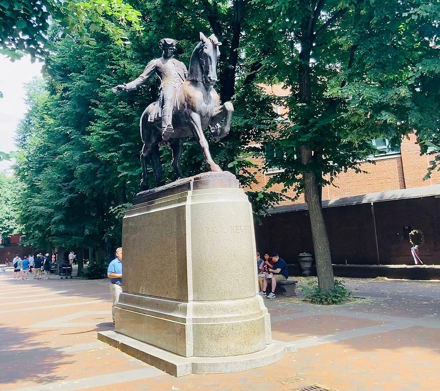
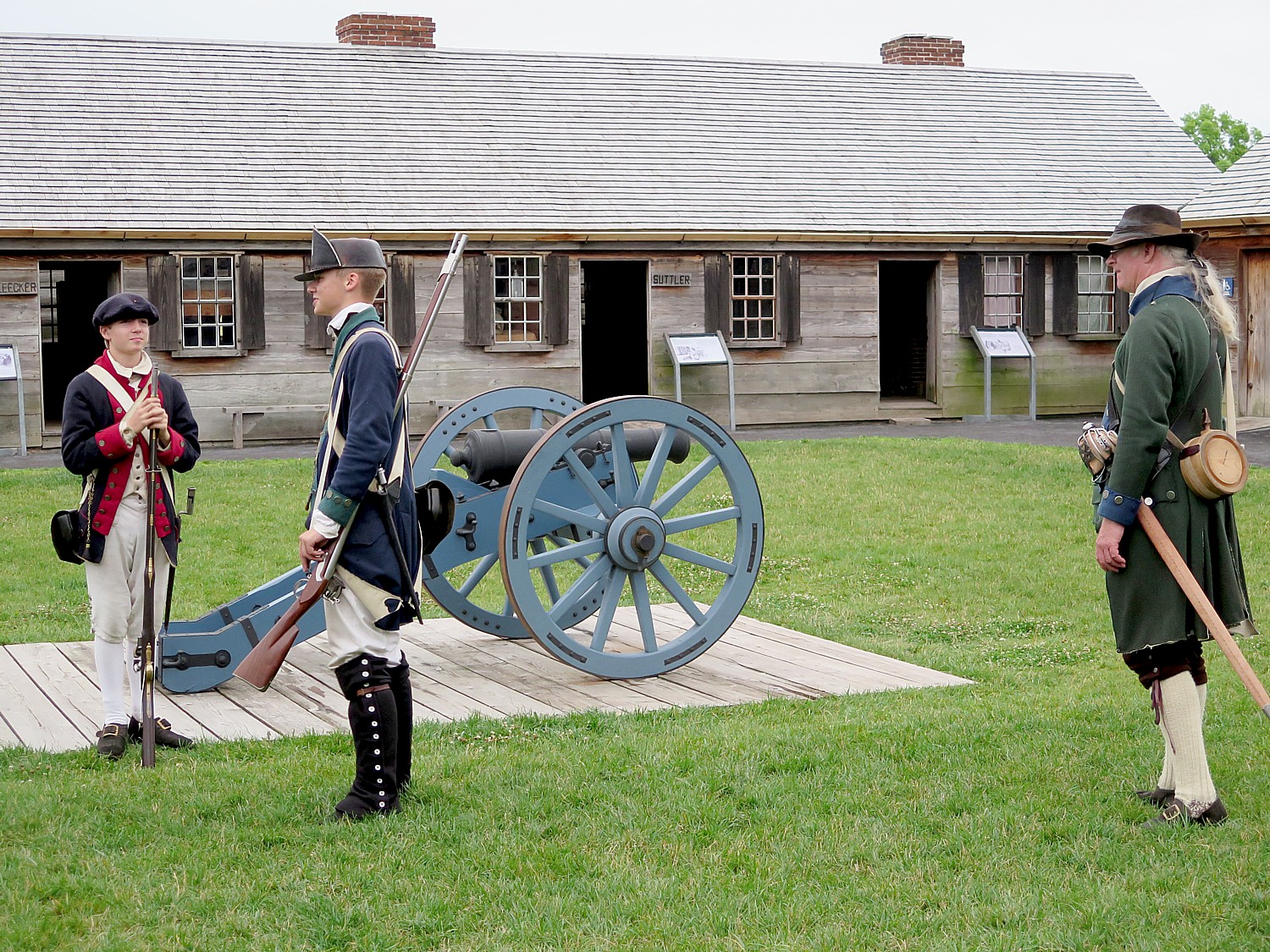
It should also be mentioned that Herkimer, NY, is named for an important Revolutionary War hero whose actions indirectly led to the Patriot’s victory at Saratoga and ultimately independence. Visit Fort Stanwix National Monument in Rome (https://www.nps.gov/fost/index.htm) to immerse in Revolutionary War history, then the Eric Canal Museum in Syracuse (eriecanalmuseum.org).
Herkimer Diamond KOA, 4626 State Route 28, Herkimer, NY 13350, 315-891-7355, www.herkimerdiamond.com.
Visit https://koa.com/blog/ for ideas, itineraries, planning tips source for Kampgrounds of America sites.
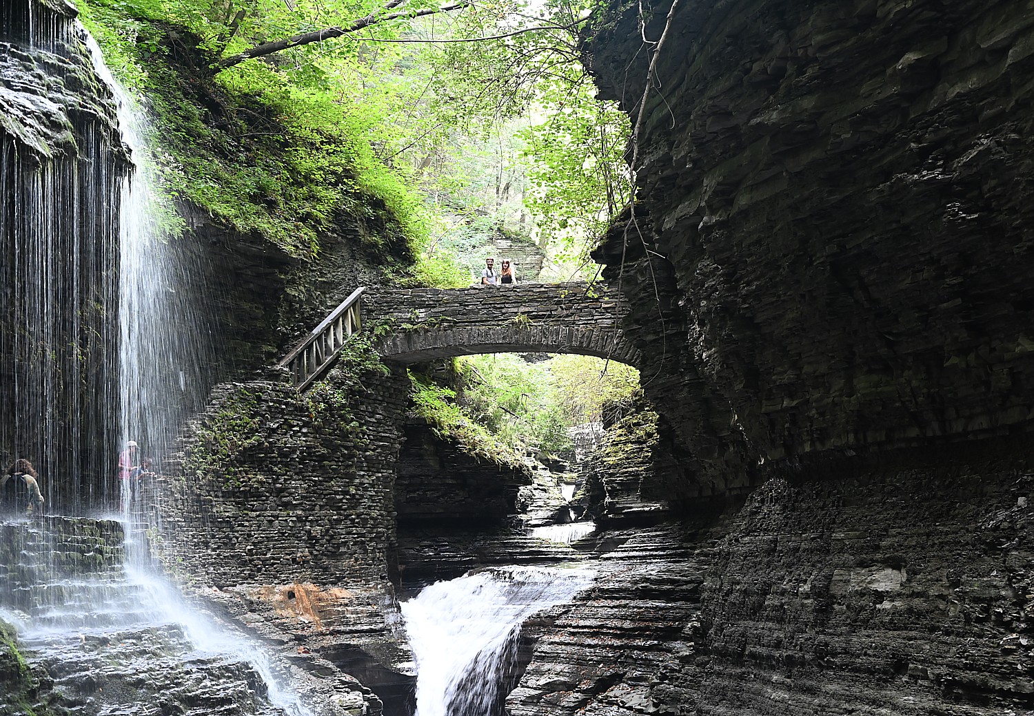
Meanwhile, New York State offers sensational camping opportunities in its state parks. Our favorites include Letchworth and Watkins Glen.
See:
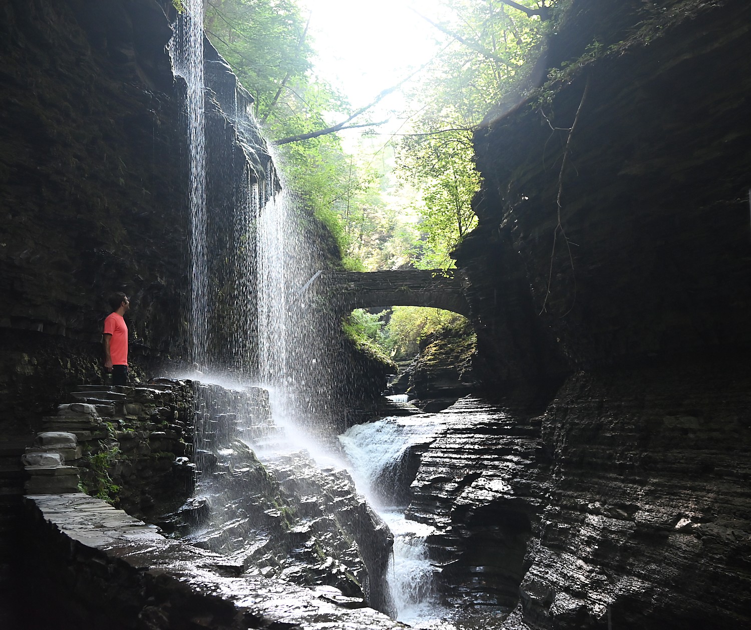
New York’s Watkins Glen State Park is Spellbinding
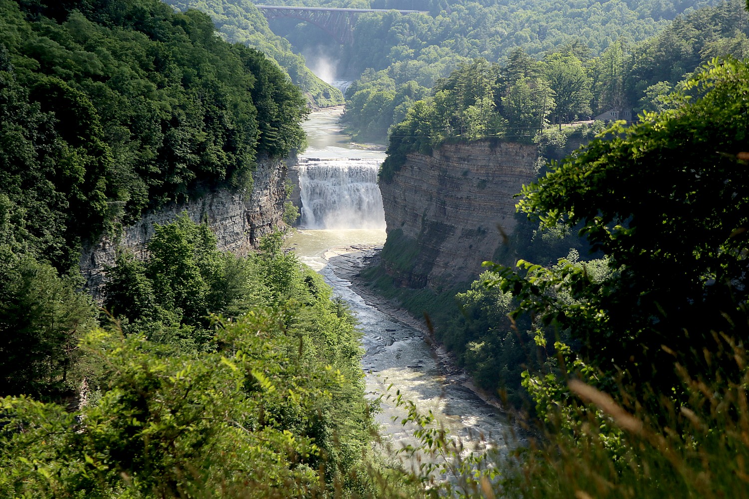
Driveable Adventures: Hiking/Camping in the ‘Grand Canyon of the East’ – NY’s Letchworth State Park
To book a spot in New York State Parks campgrounds, go to https://newyorkstateparks.reserveamerica.com/.
__________________
© 2026 Travel Features Syndicate, a division of Workstyles, Inc. All rights reserved. Visit goingplacesfarandnear.com and travelwritersmagazine.com/TravelFeaturesSyndicate/. Blogging at goingplacesnearandfar.wordpress.com and moralcompasstravel.info. Visit instagram.com/going_places_far_and_near and instagram.com/bigbackpacktraveler/ Send comments or questions to FamTravLtr@aol.com. Bluesky: @newsphotosfeatures.bsky.social X: @TravelFeatures Threads: @news_and_photo_features ‘Like’ us atfacebook.com/NewsPhotoFeatures