
By Karen Rubin, Travel Features Syndicate, goingplacesfarandnear.com
National Parks Week, this year April 19-27, is a great time to start planning for a camping holiday in national parks, especially since because of understandable popularity, you need to make reservations early. Camping within or near the parks enhances the experience immeasurably, adding an unparalleled dimension.
Pro Tip: You can purchase a 2025 America the Beautiful–the National Parks and Federal Recreational Lands Annual Pass providing access to over 2,000 federal recreation sites, including national parks, wildlife refuges and forests, for $80 from the USGS store (https://store.usgs.gov/) and from LL Bean (https://www.llbean.com/llb/shop/1000010294). At sites that charge per vehicle, a pass covers the pass holder and accompanying passengers in a single, private, non-commercial vehicle. At sites that charge per person, a pass covers the pass holder and three accompanying adults (16 or over; children 15 and under are free).
Seniors can purchase a lifetime version, the America The Beautiful – The National Parks and Federal Lands Senior Lifetime Pass, for a one-time charge of $80 (plus $10 fee), from https://store.usgs.gov/lifetime-senior-pass. At many sites the Senior Pass provides a discount on Expanded Amenity Fees (such as camping, swimming, boat launching, and guided tours).
Campspot’s 15 Top Trending Parks for Campers
To celebrate National Park Week (April 19–27, 2025)—with free park entry on April 19—Campspot, a leading booking platform for private campgrounds, dug into traveler data to reveal the Top 15 Most-Searched National Parks for 2025, based on check-in dates throughout the year.
With economic uncertainty still shaping how Americans travel in 2025, more adventurers are seeking out experiences that feel meaningful—but still affordable. Camping near national parks continues to rise in popularity as travelers seek fresh air, epic views, and budget-friendly alternatives to traditional vacations.
Whether you’re planning a last-minute getaway or your big summer adventure, here’s where travelers are headed—along with where to camp nearby:
Trending National Parks to Visit in 2025
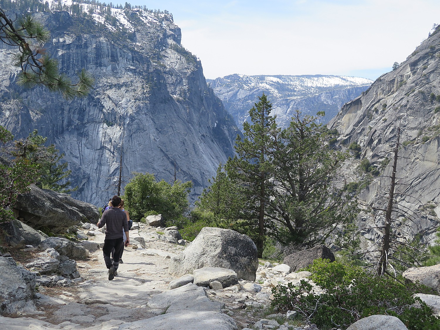
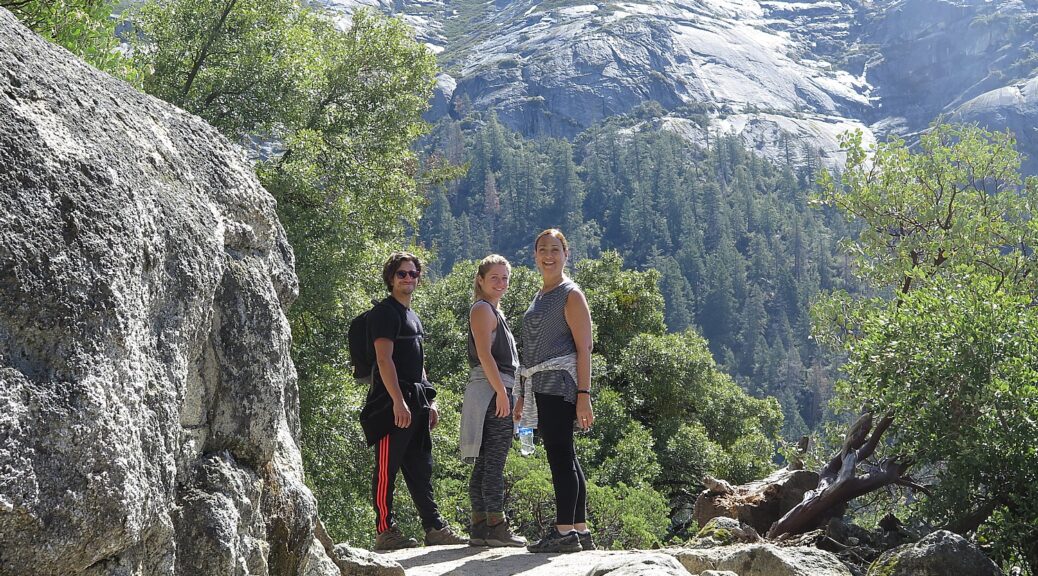
1. Yosemite National Park: With its granite giants, towering waterfalls, and legendary trails, Yosemite National Park in California is the definition of iconic. Whether you’re chasing views from Glacier Point or strolling through Yosemite Valley, this park is a stunner in every season. Book early—it’s a favorite for a reason. Where to camp:
See More Campgrounds Near Yosemite National Park
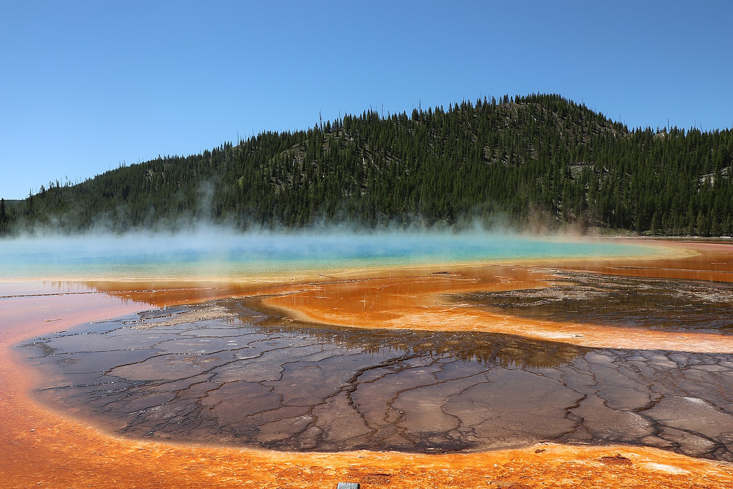
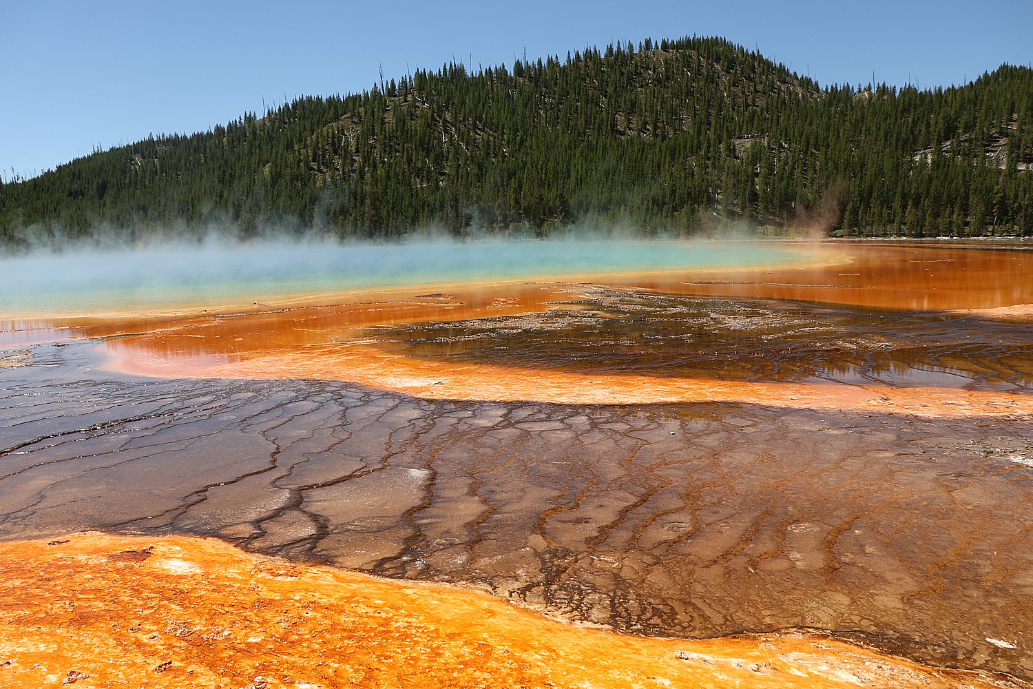
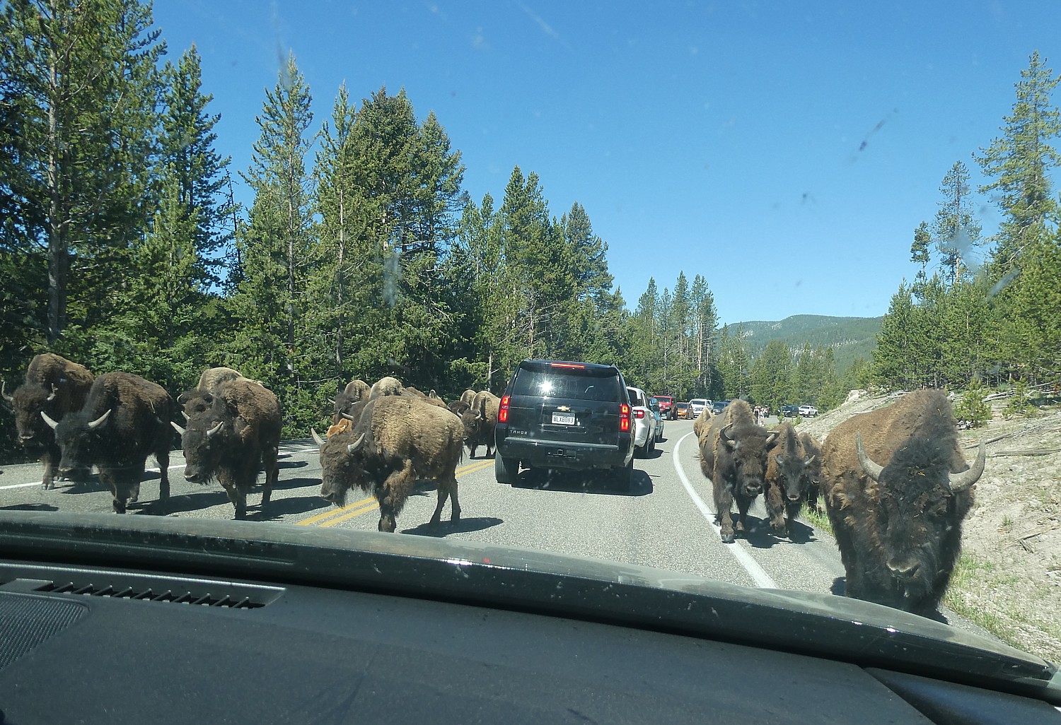
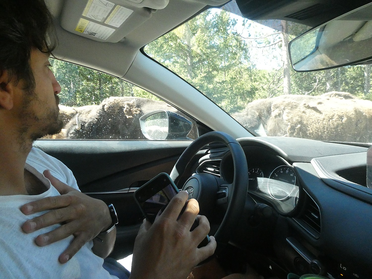
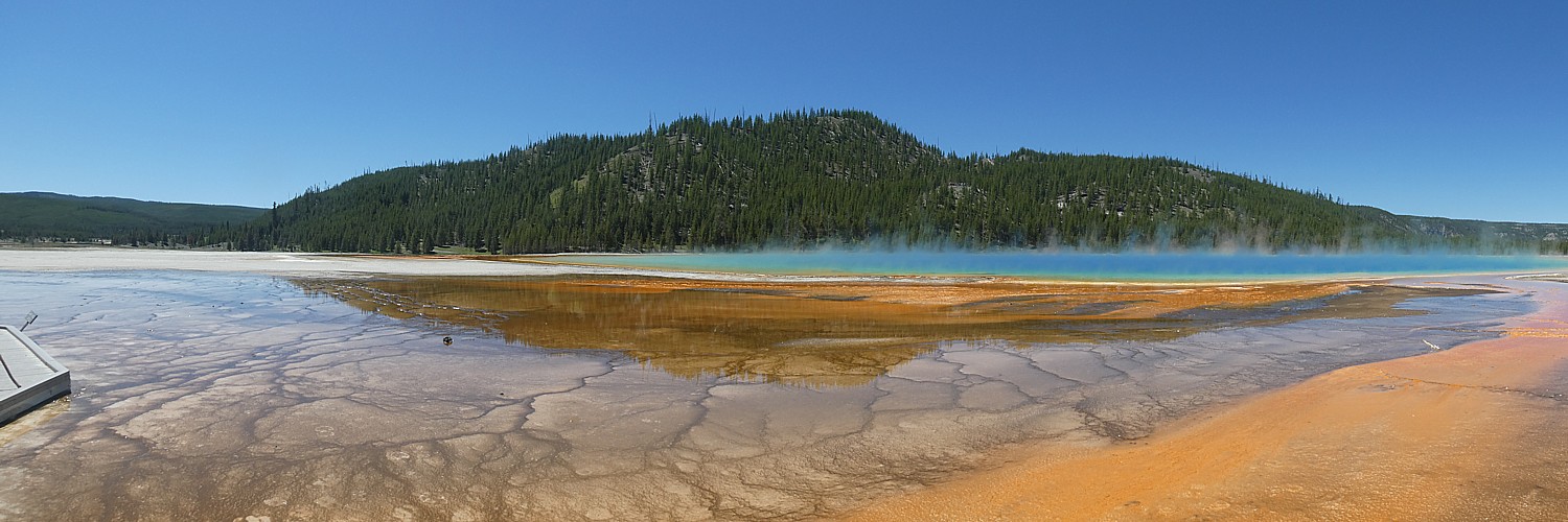
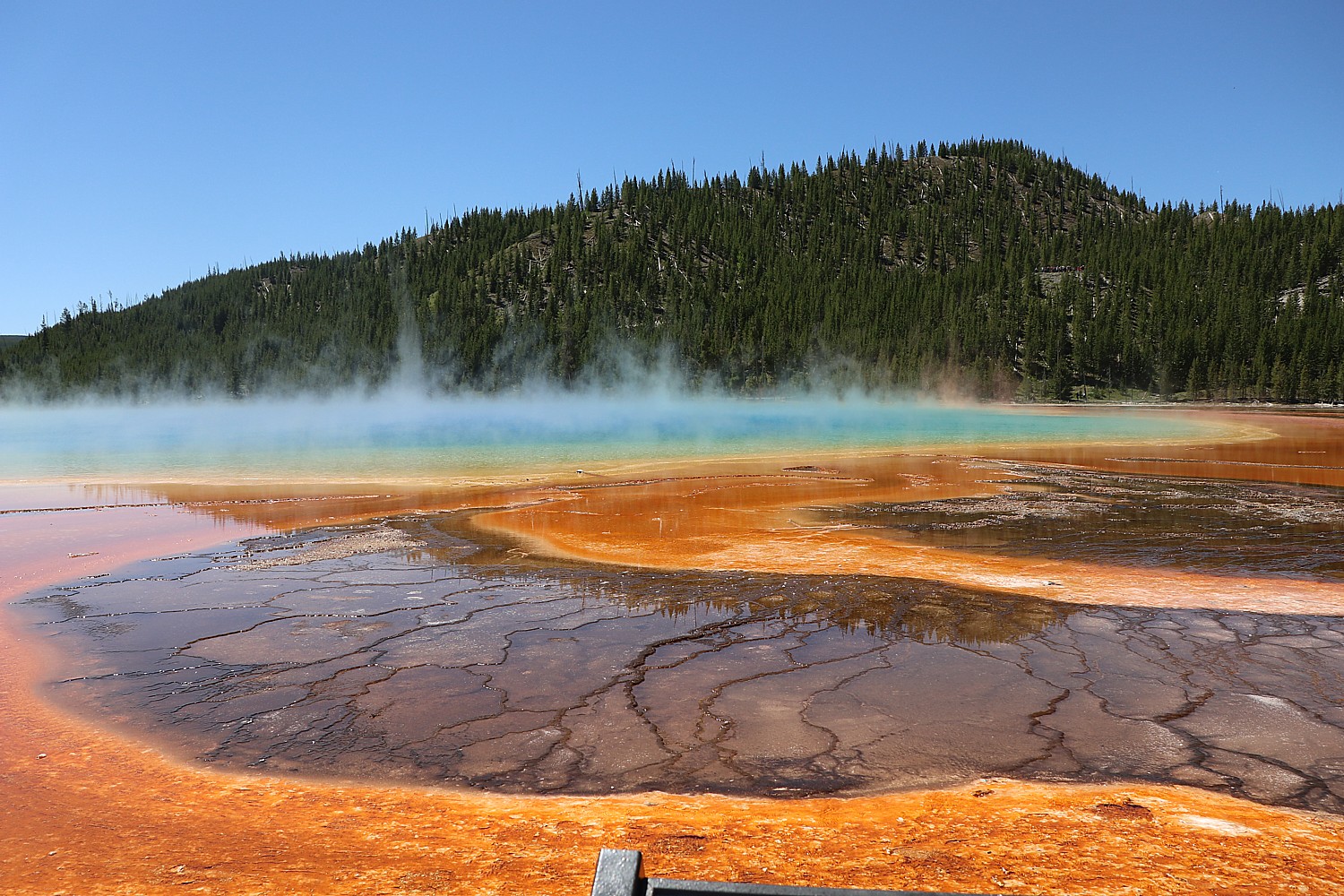
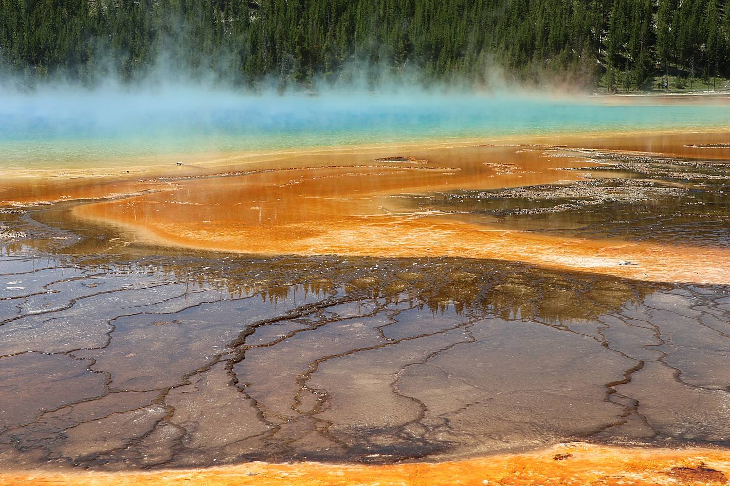
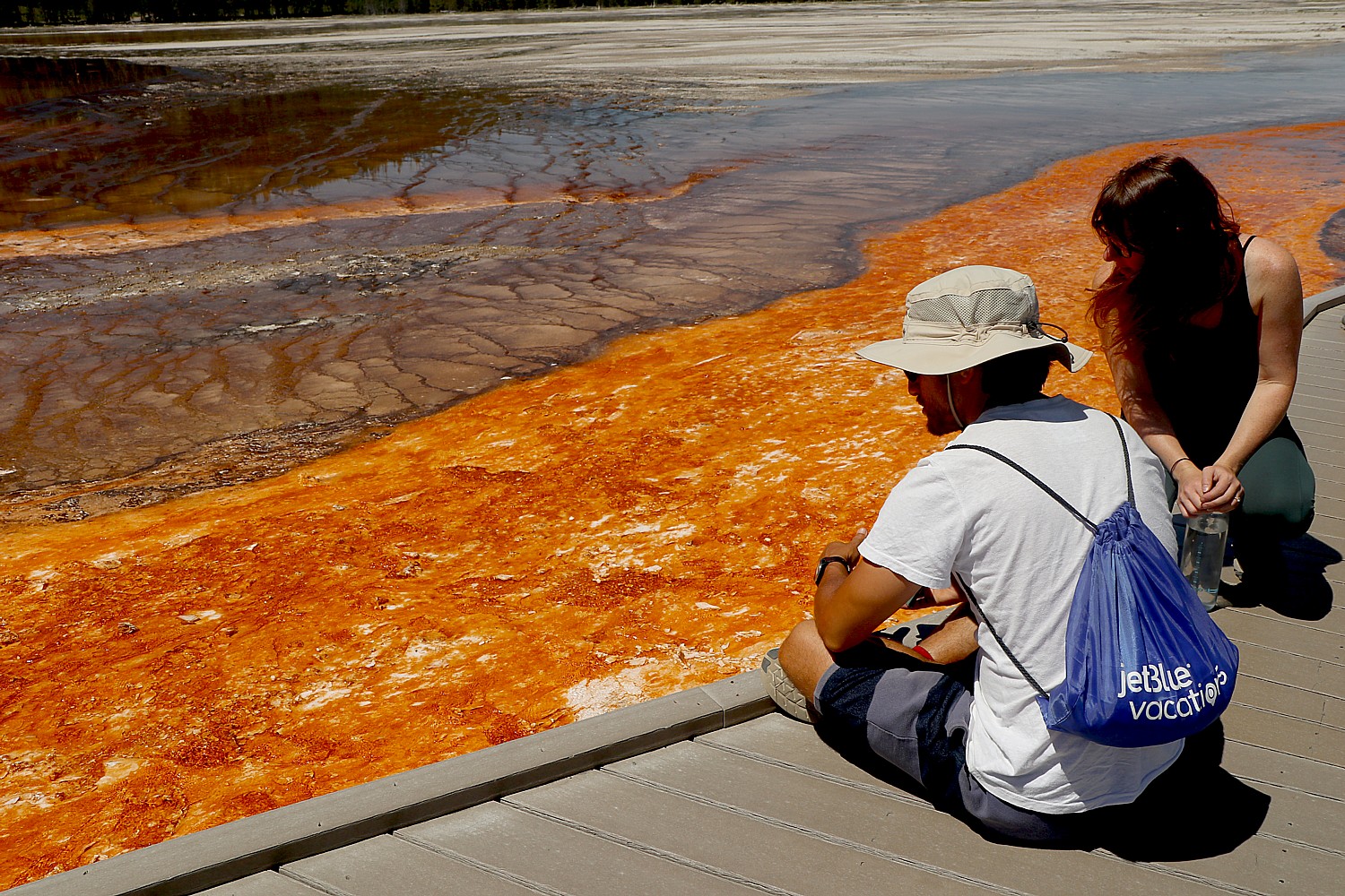
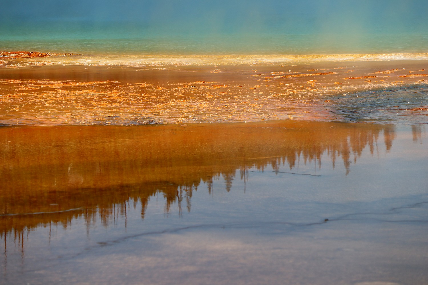
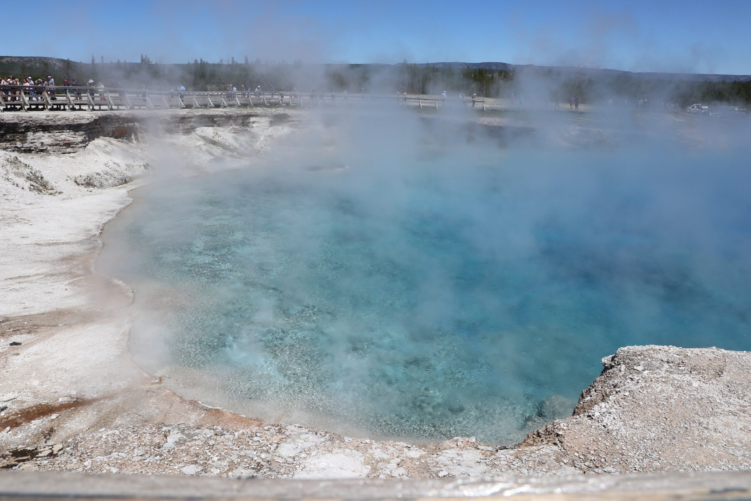
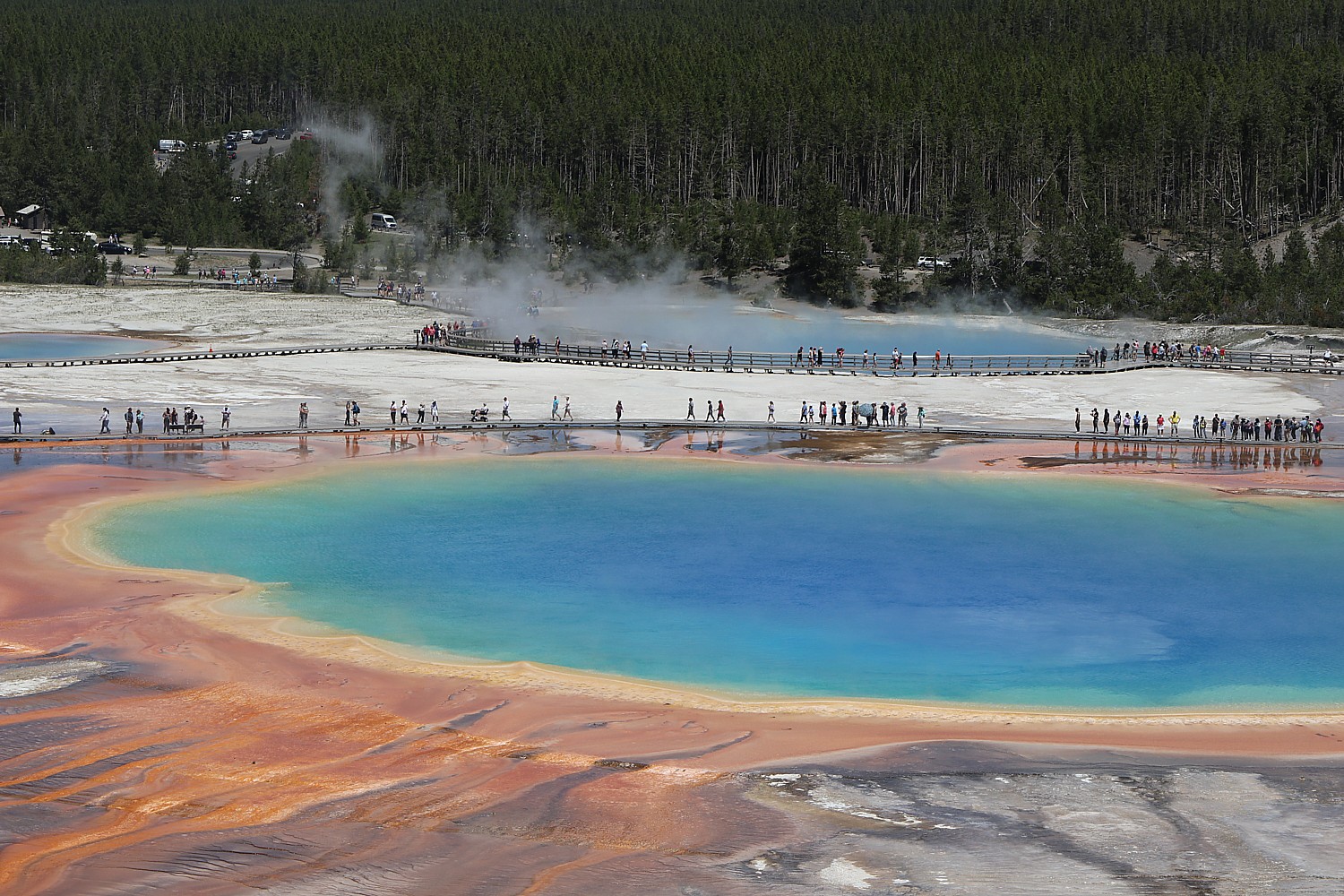
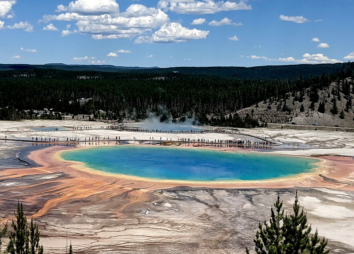
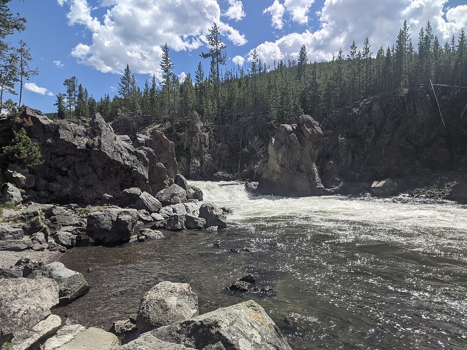
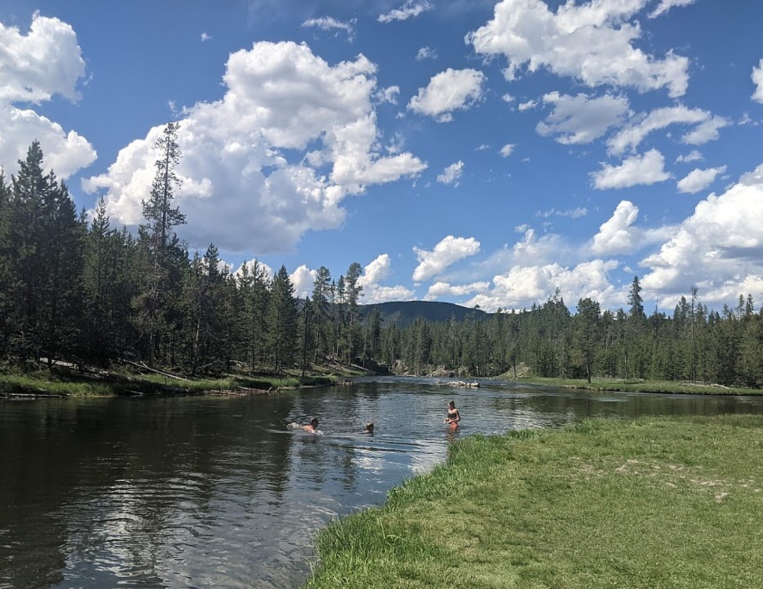
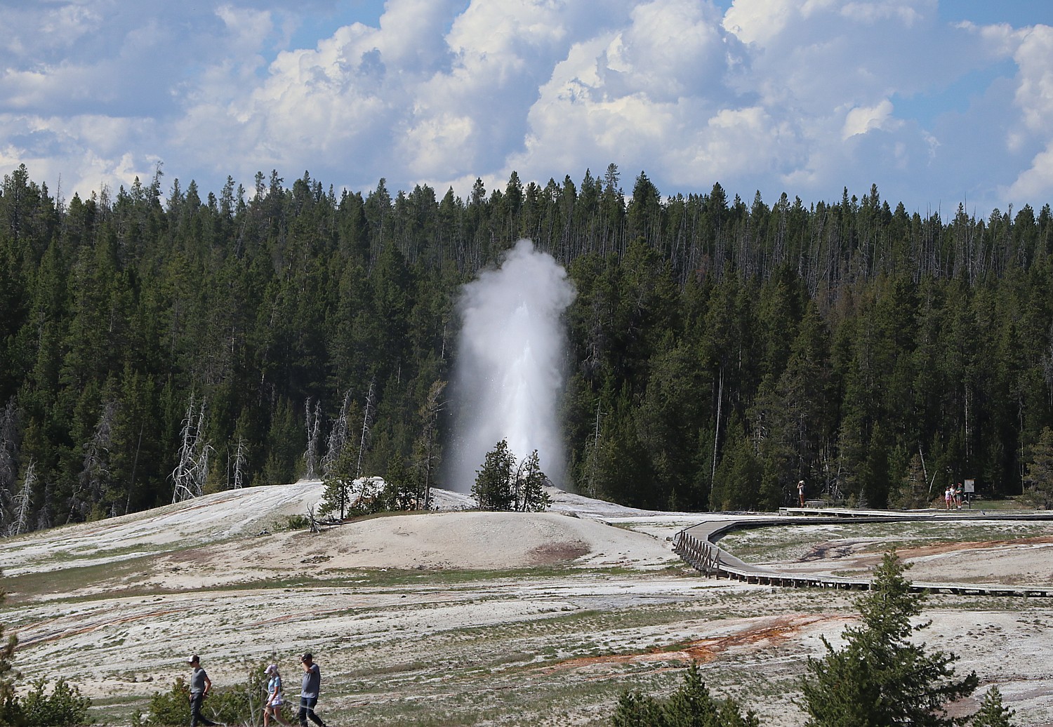
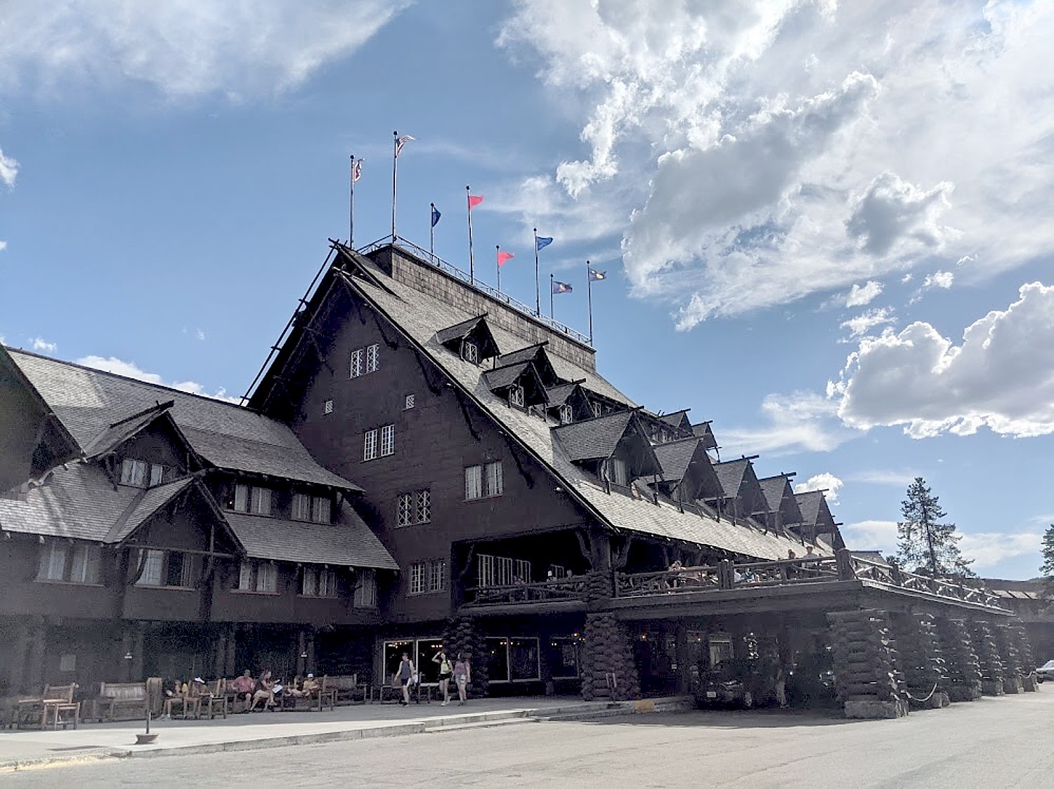
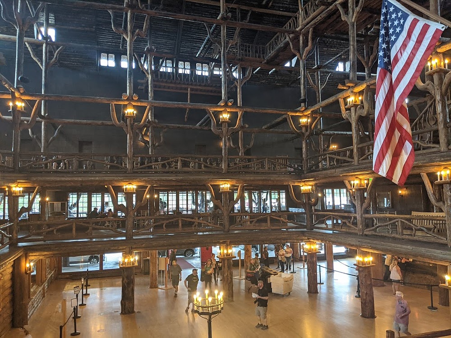
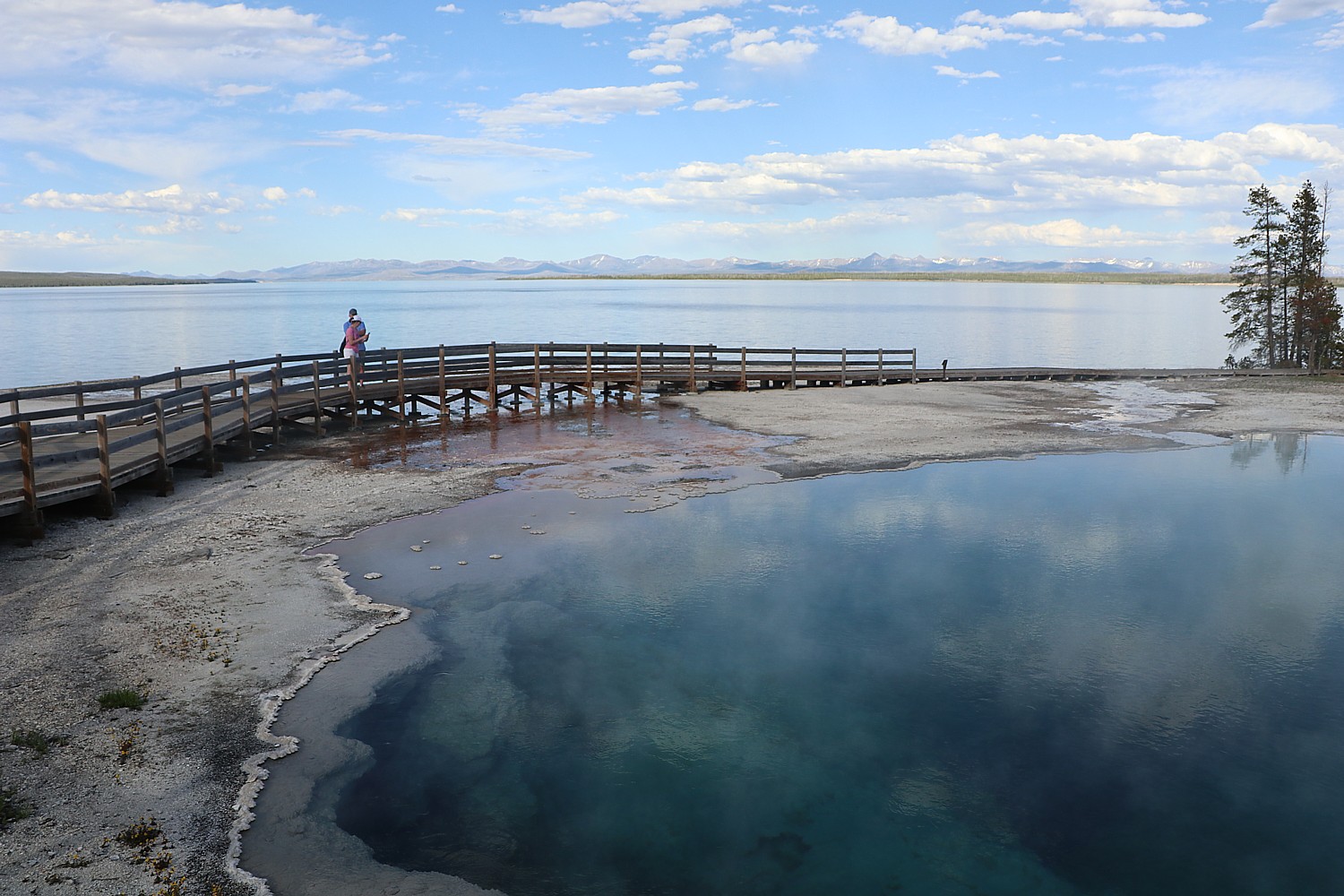
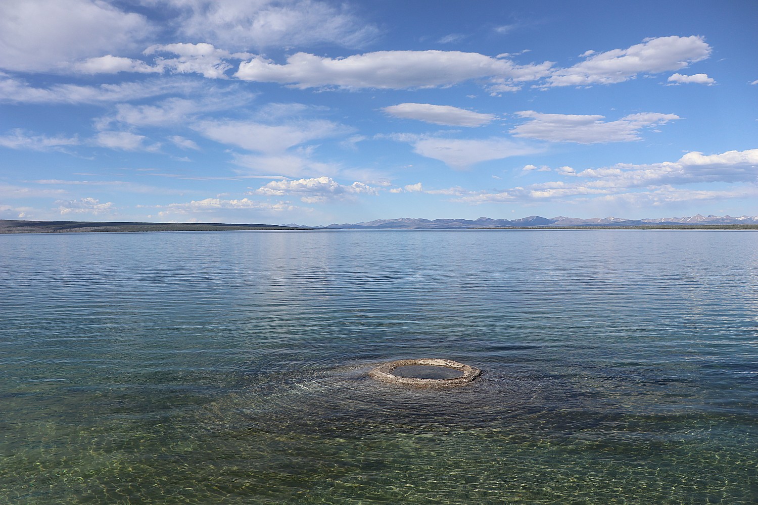
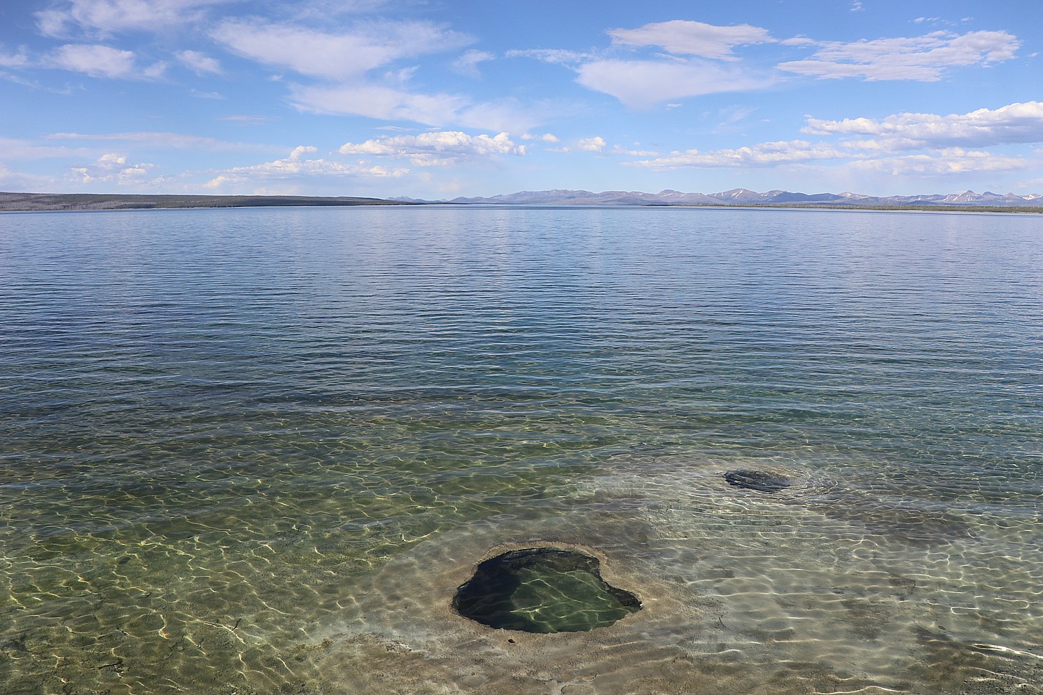
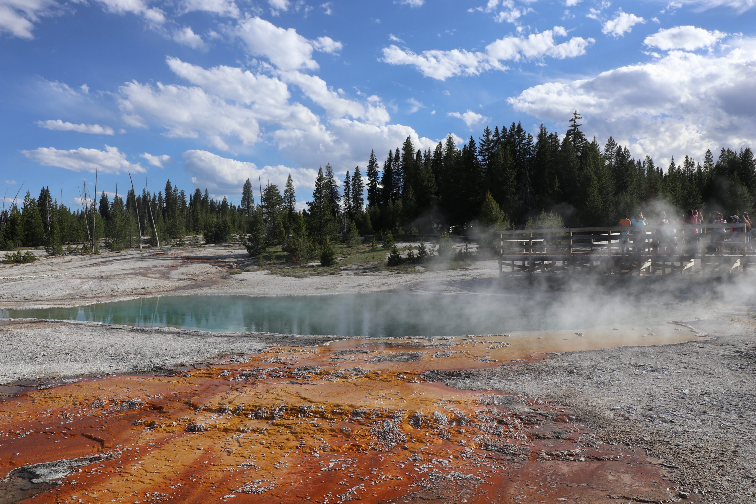
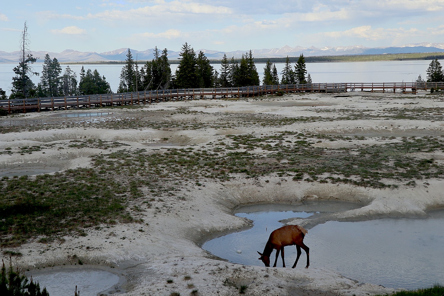
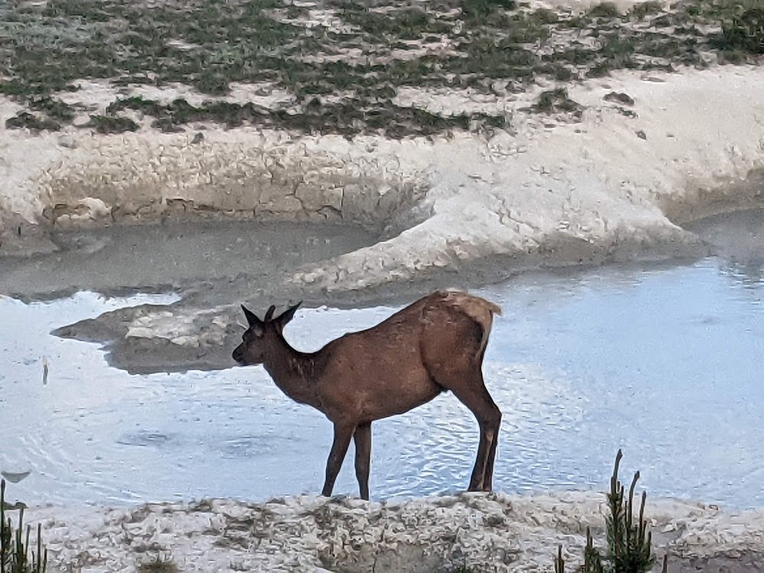
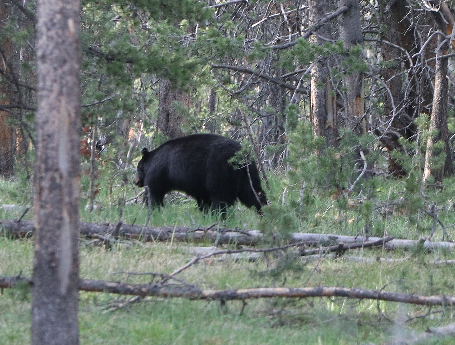
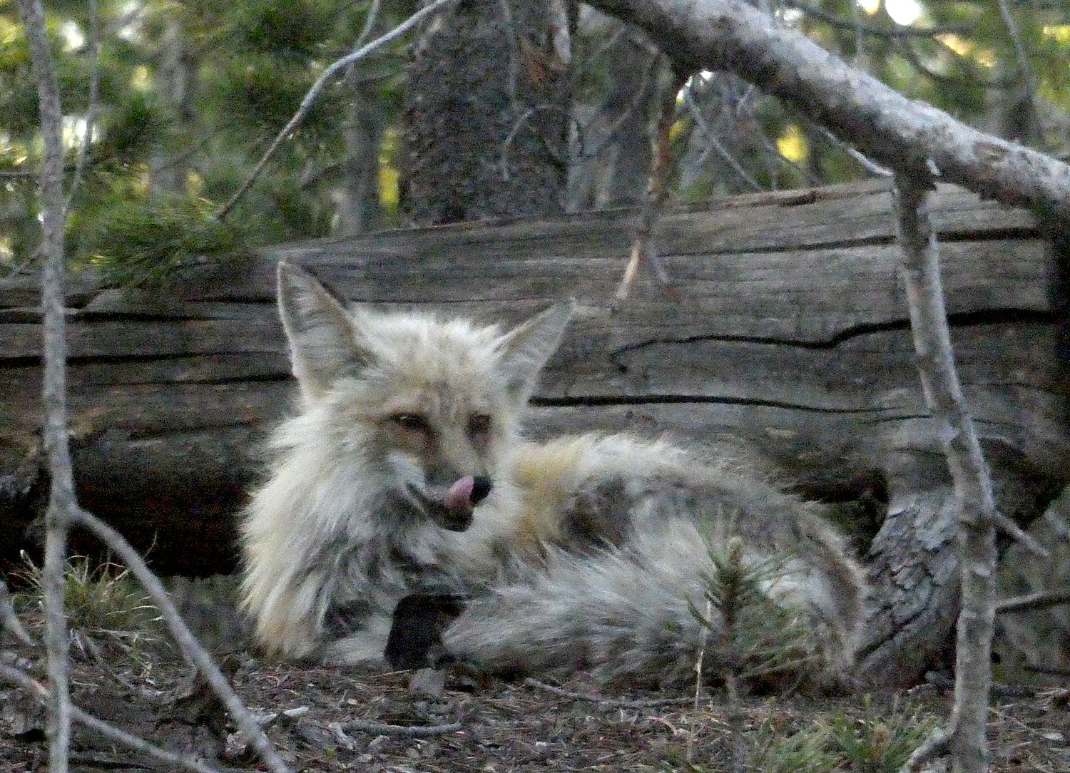
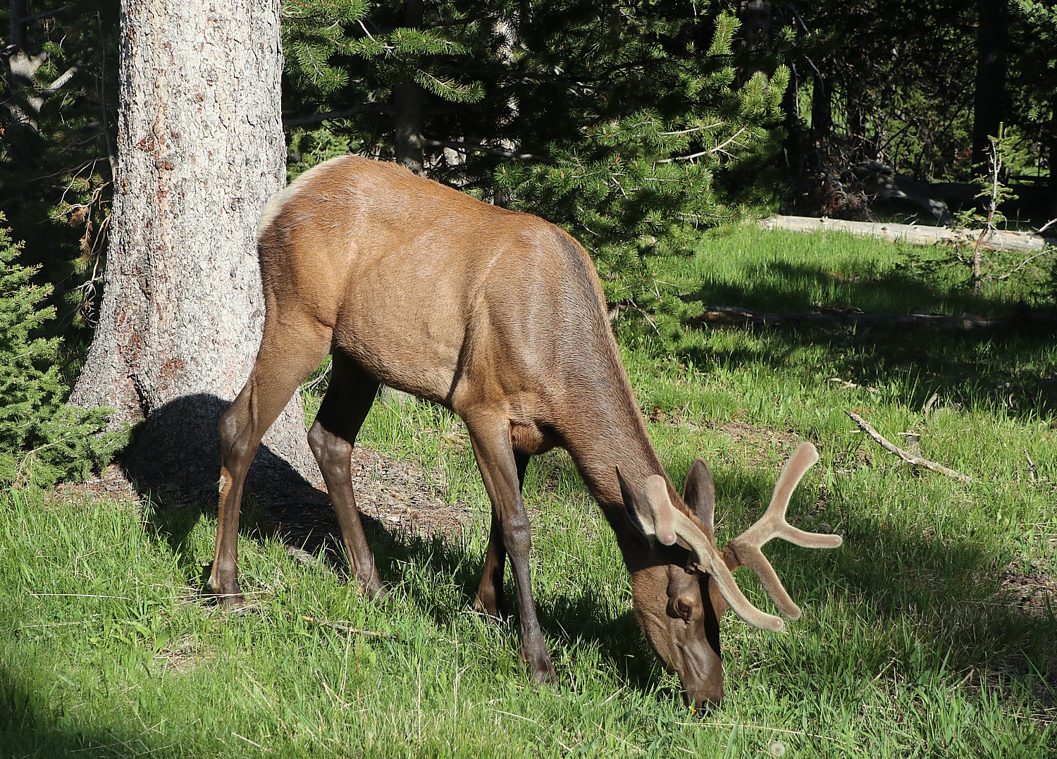
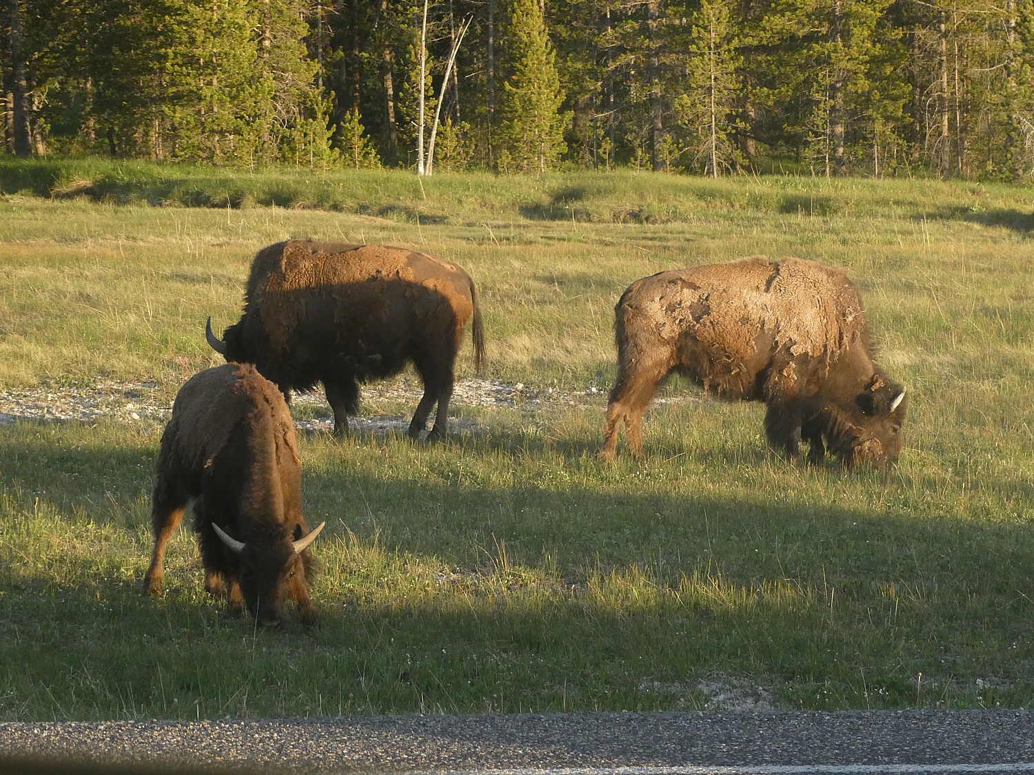
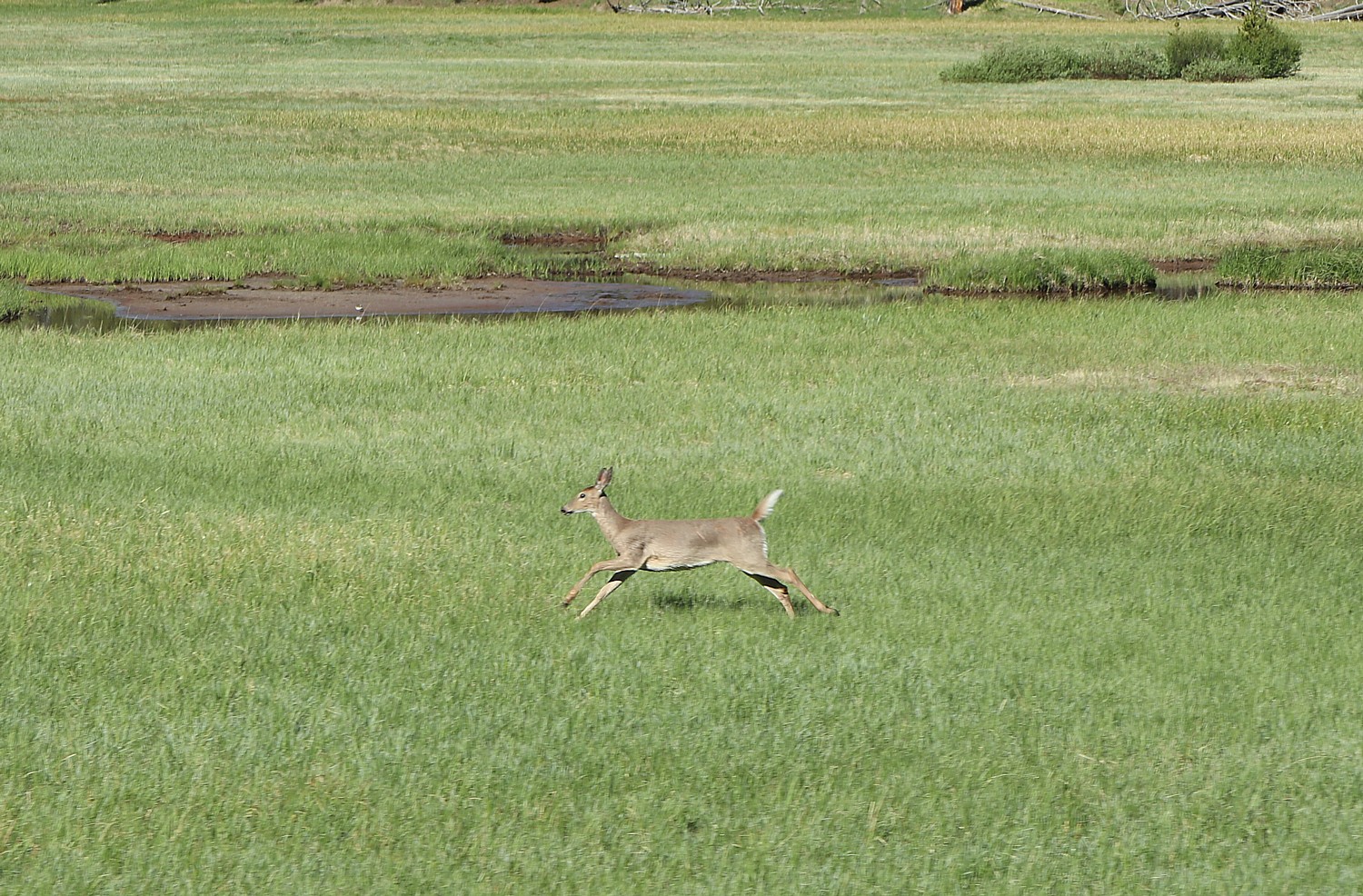
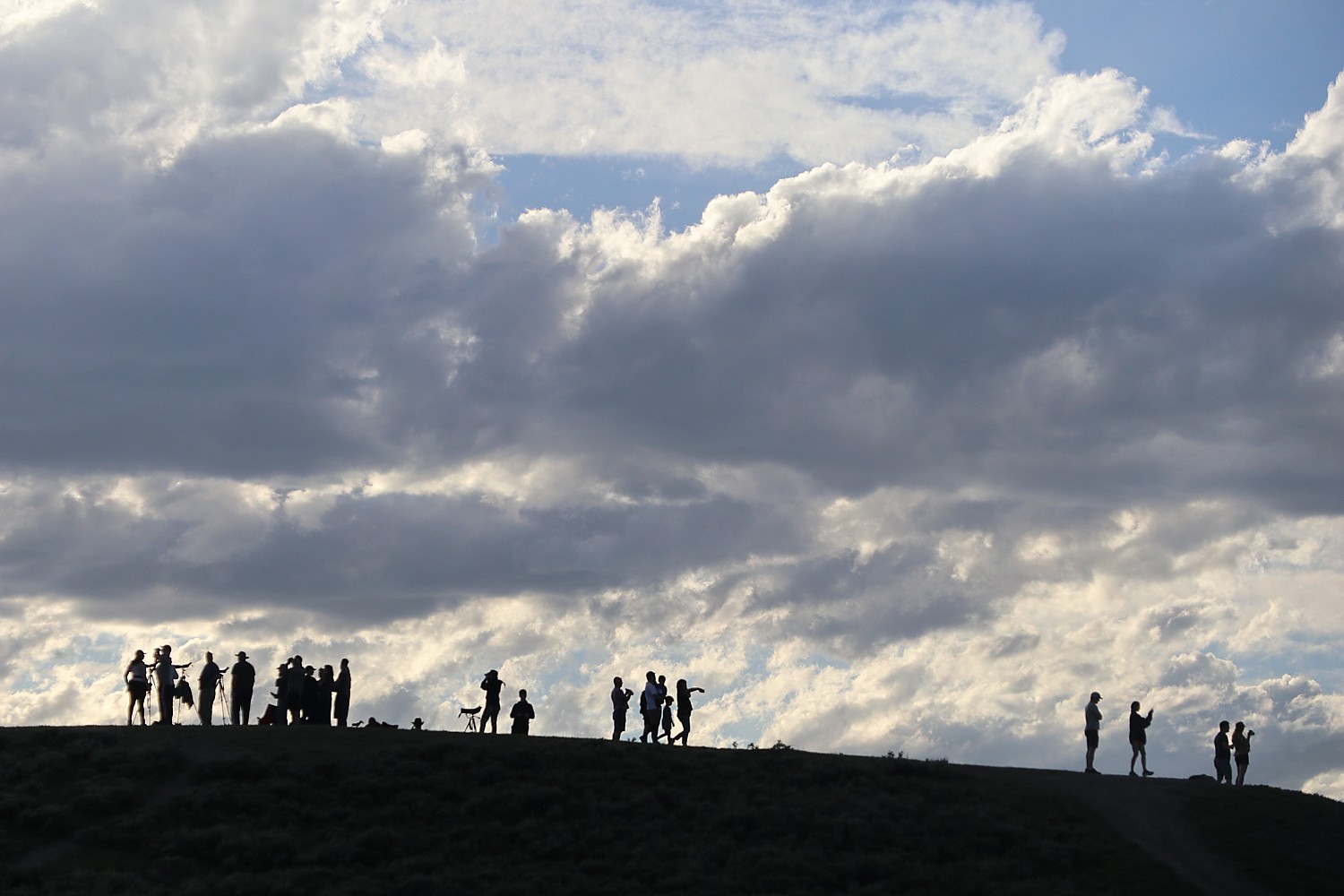
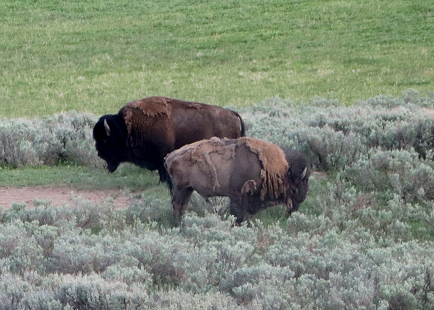
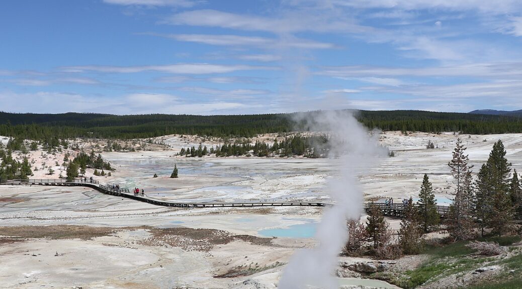
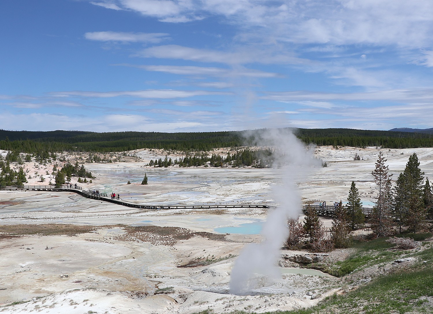
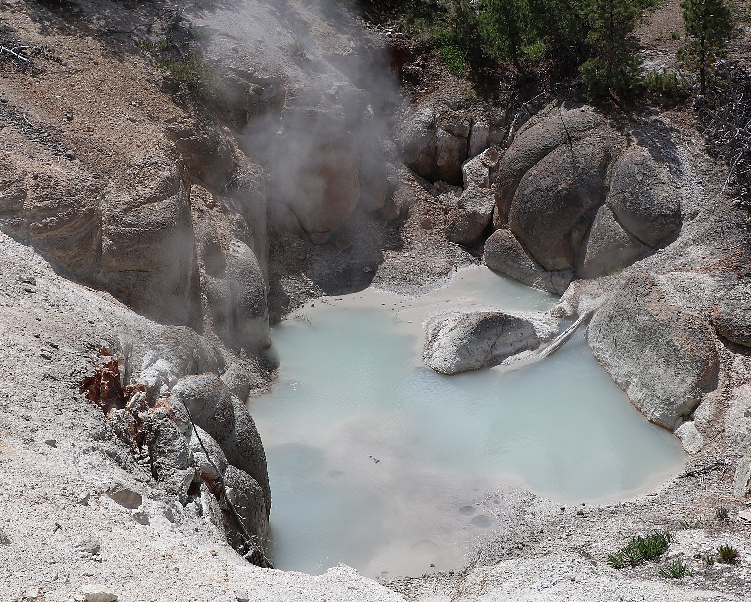
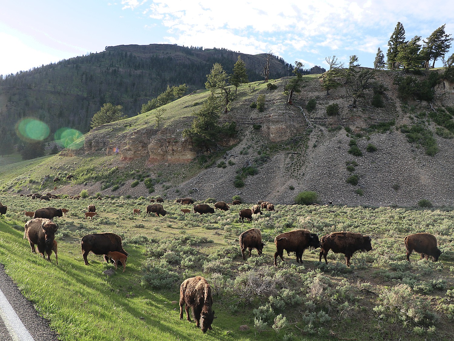
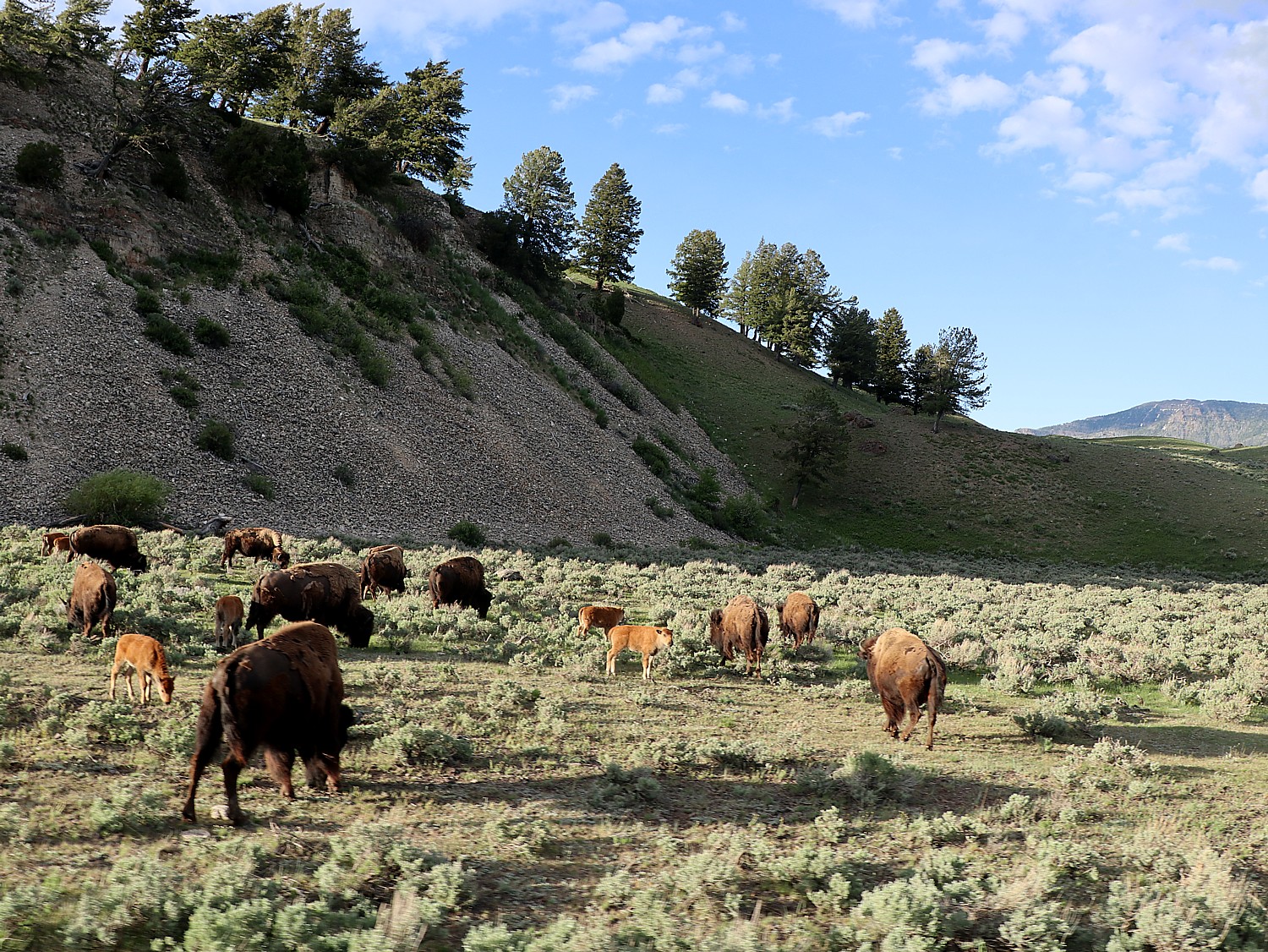
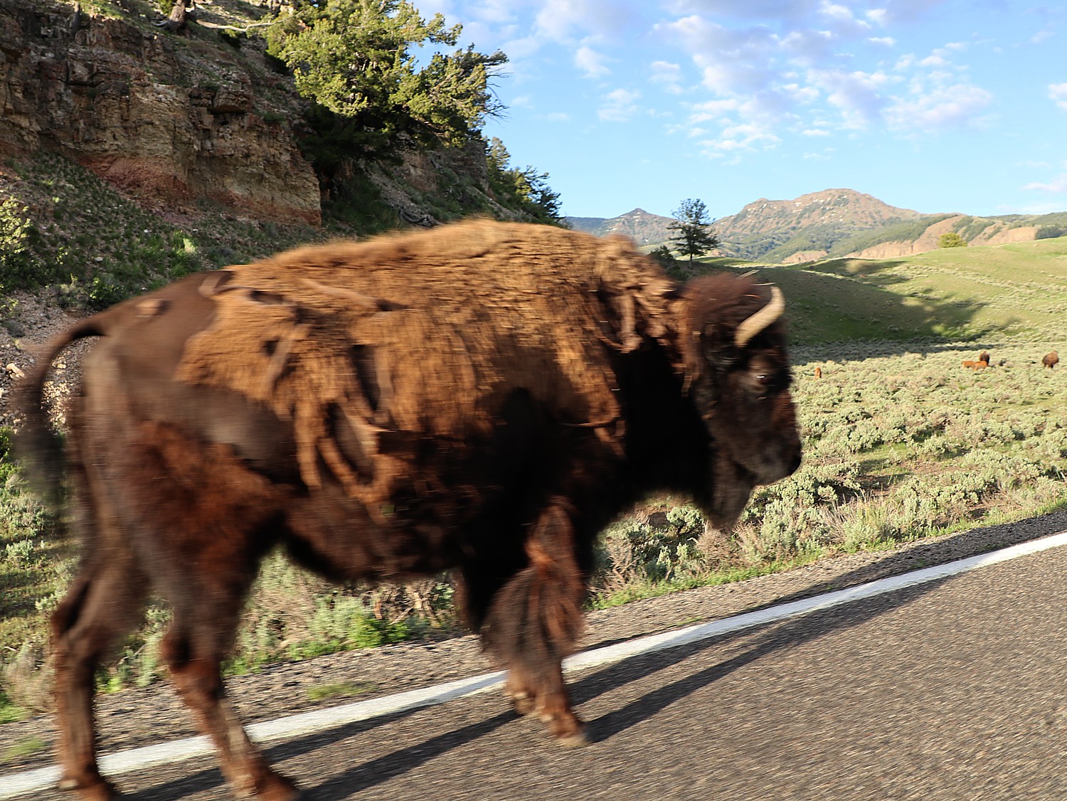
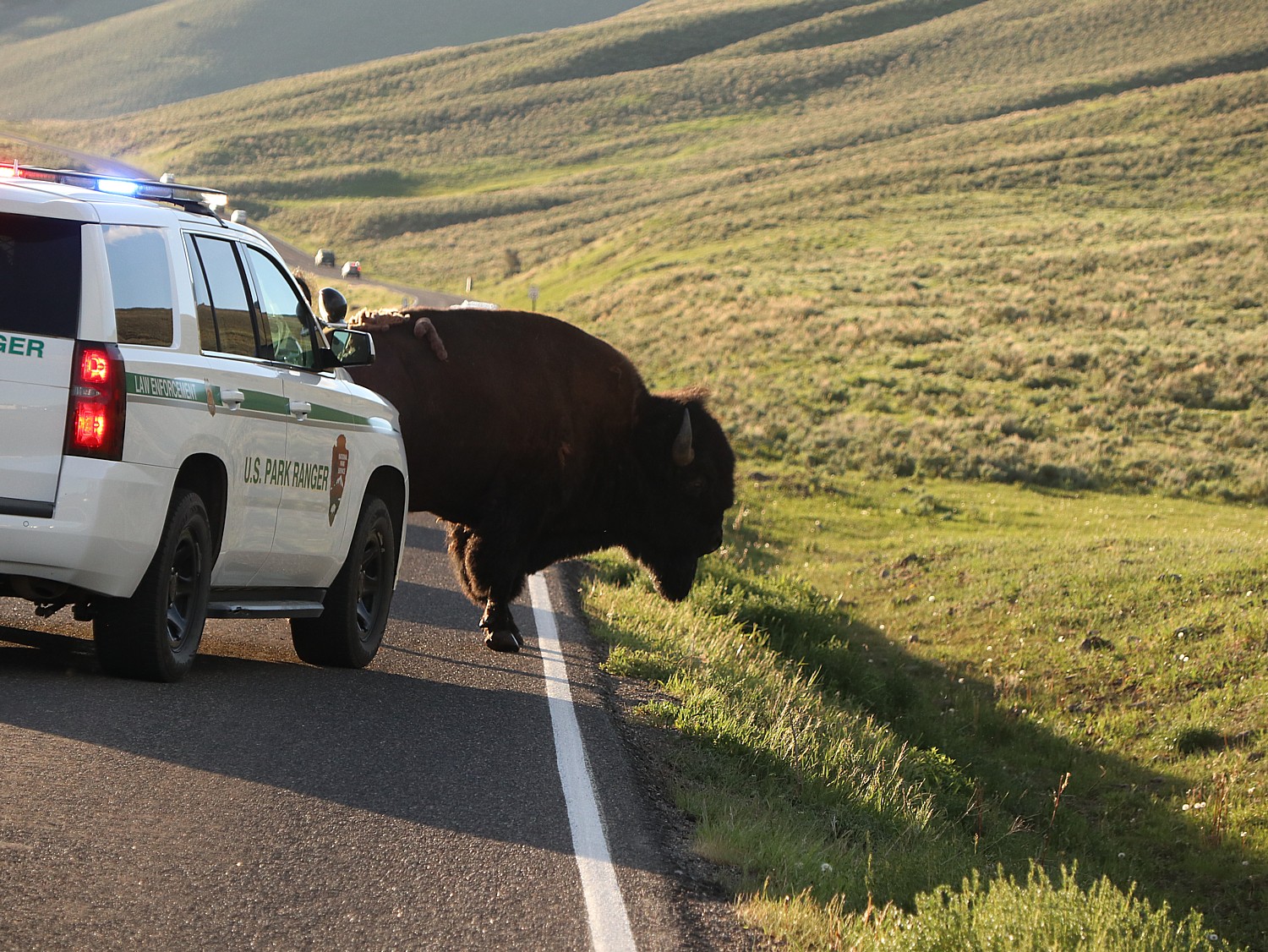
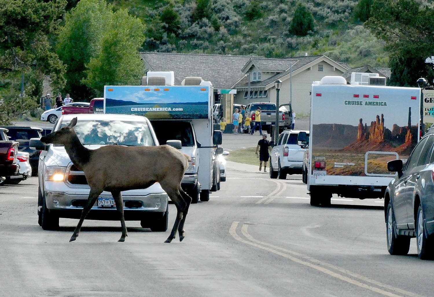
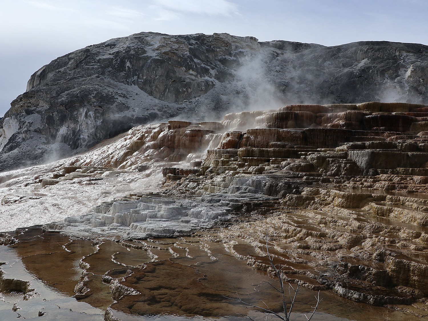
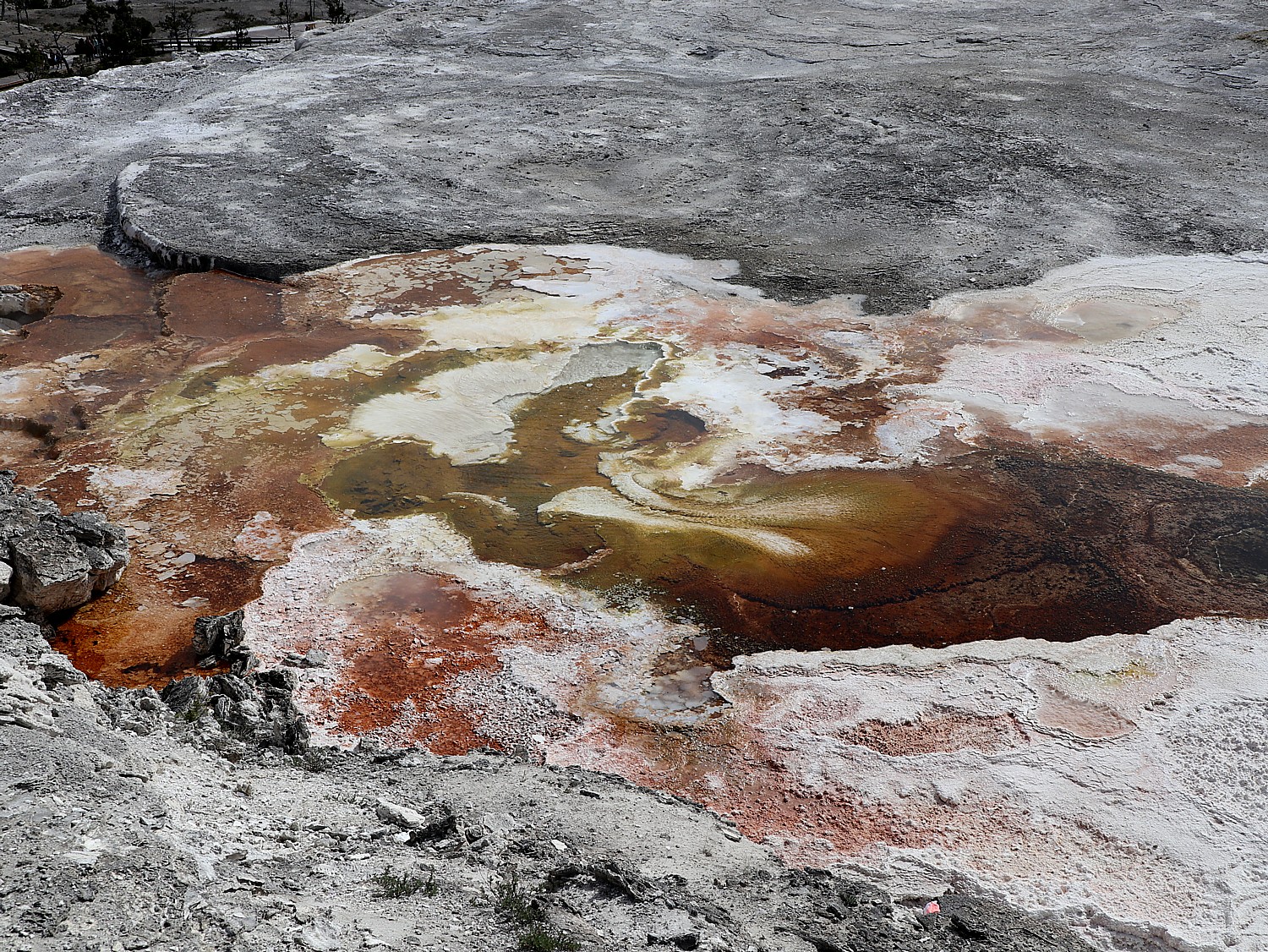
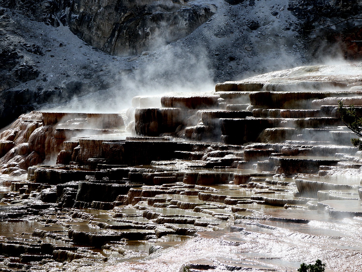
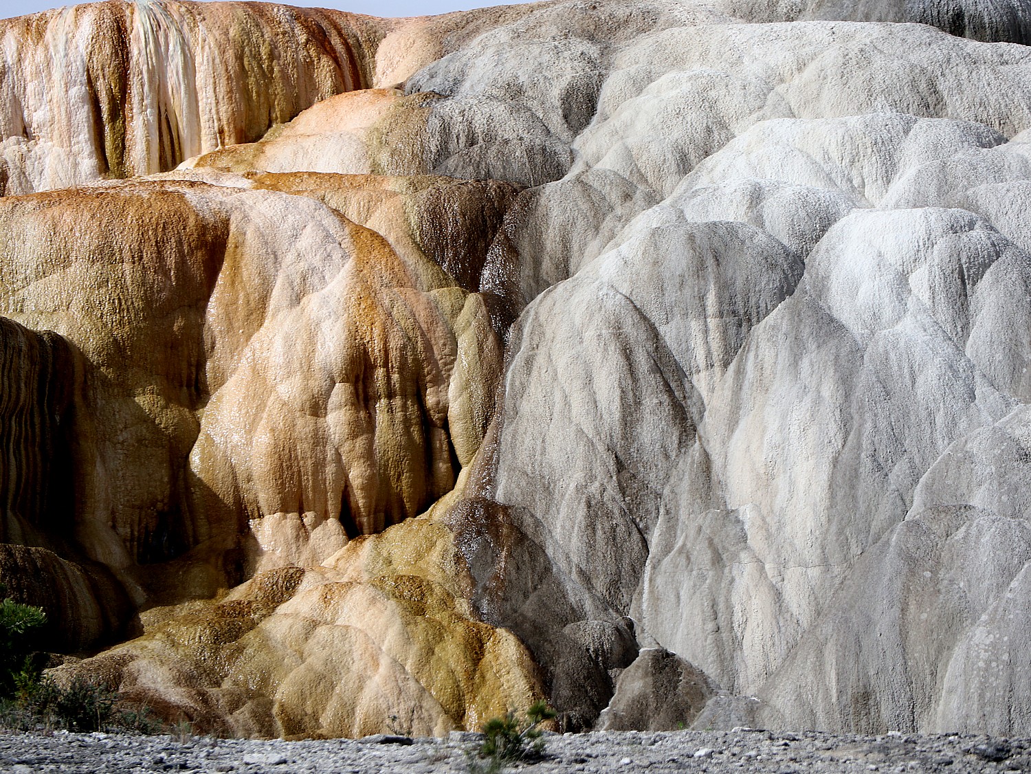
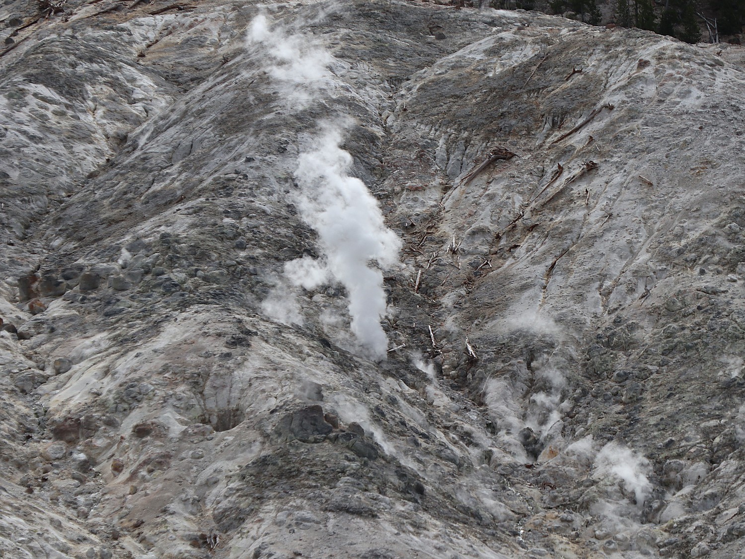
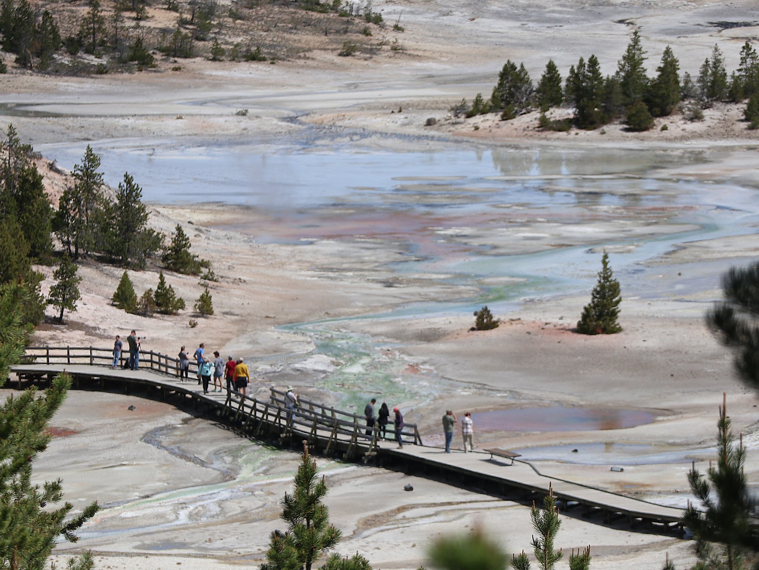
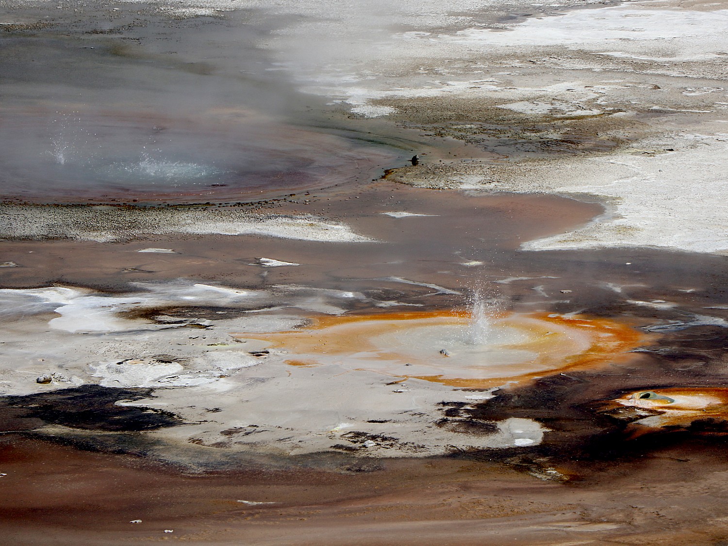
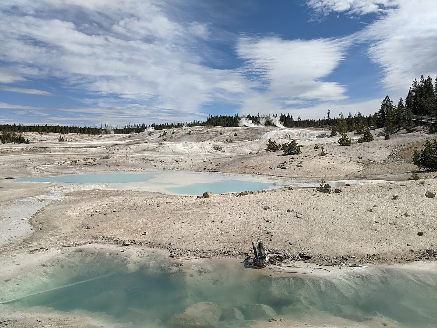
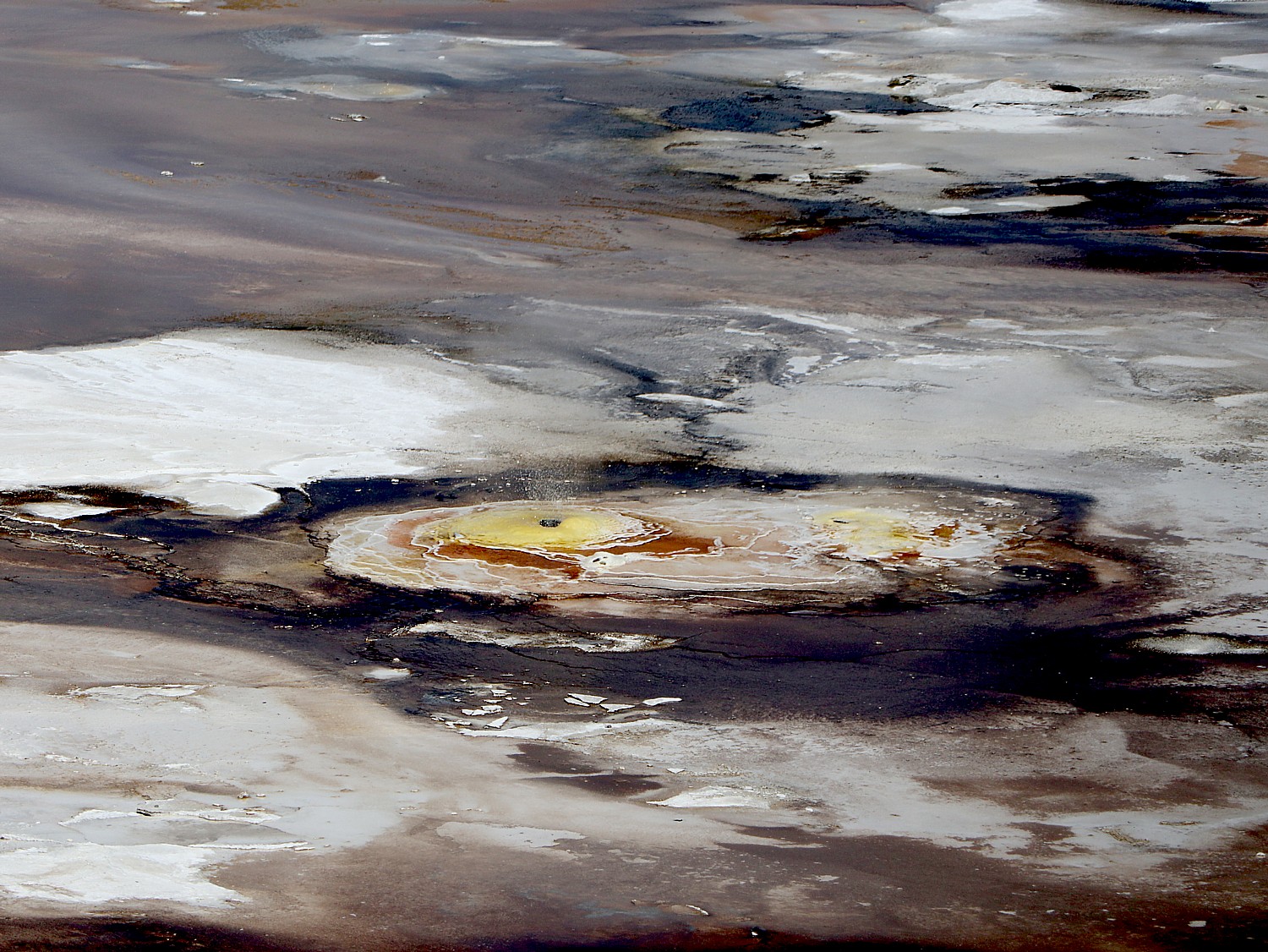
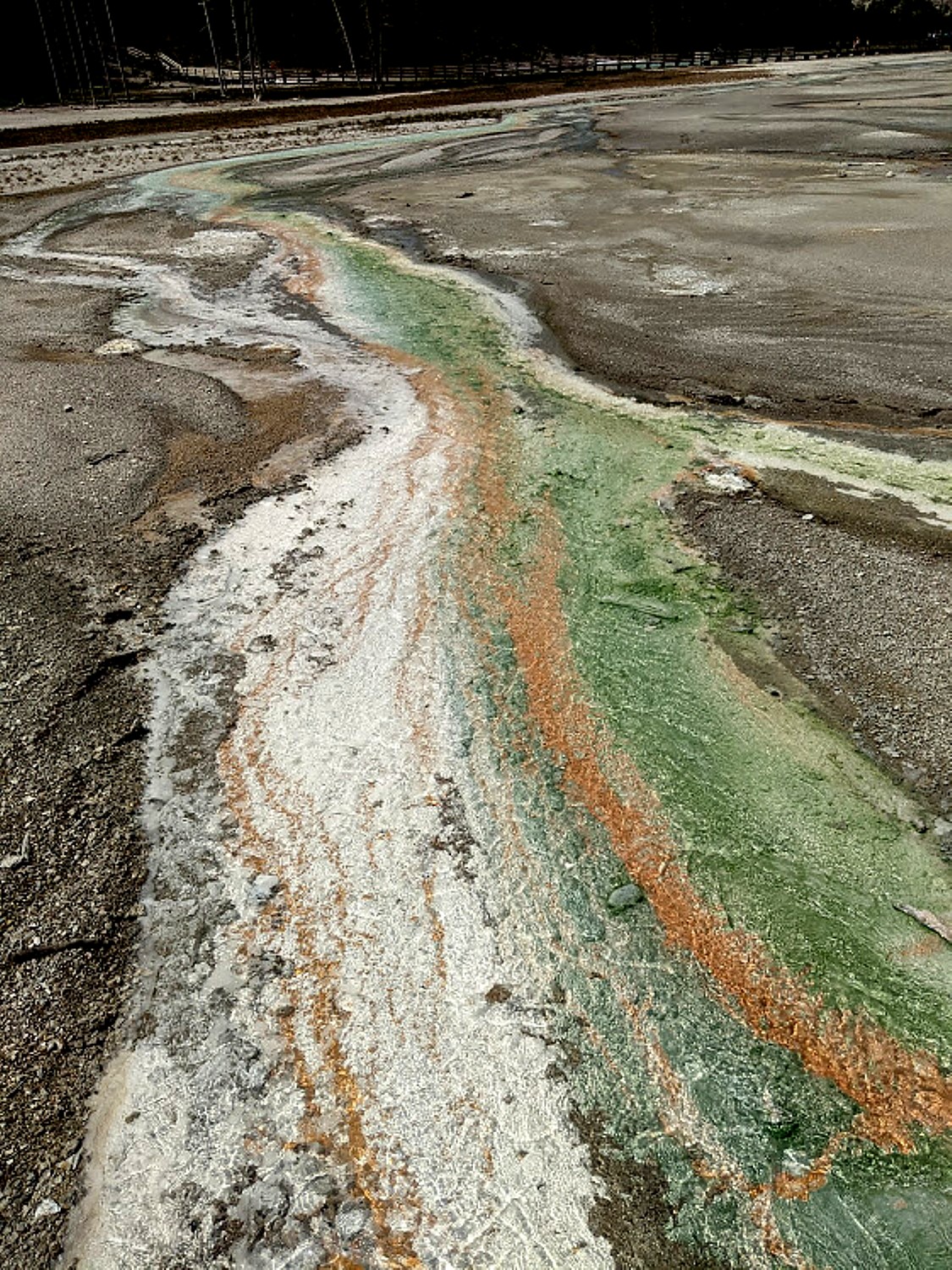
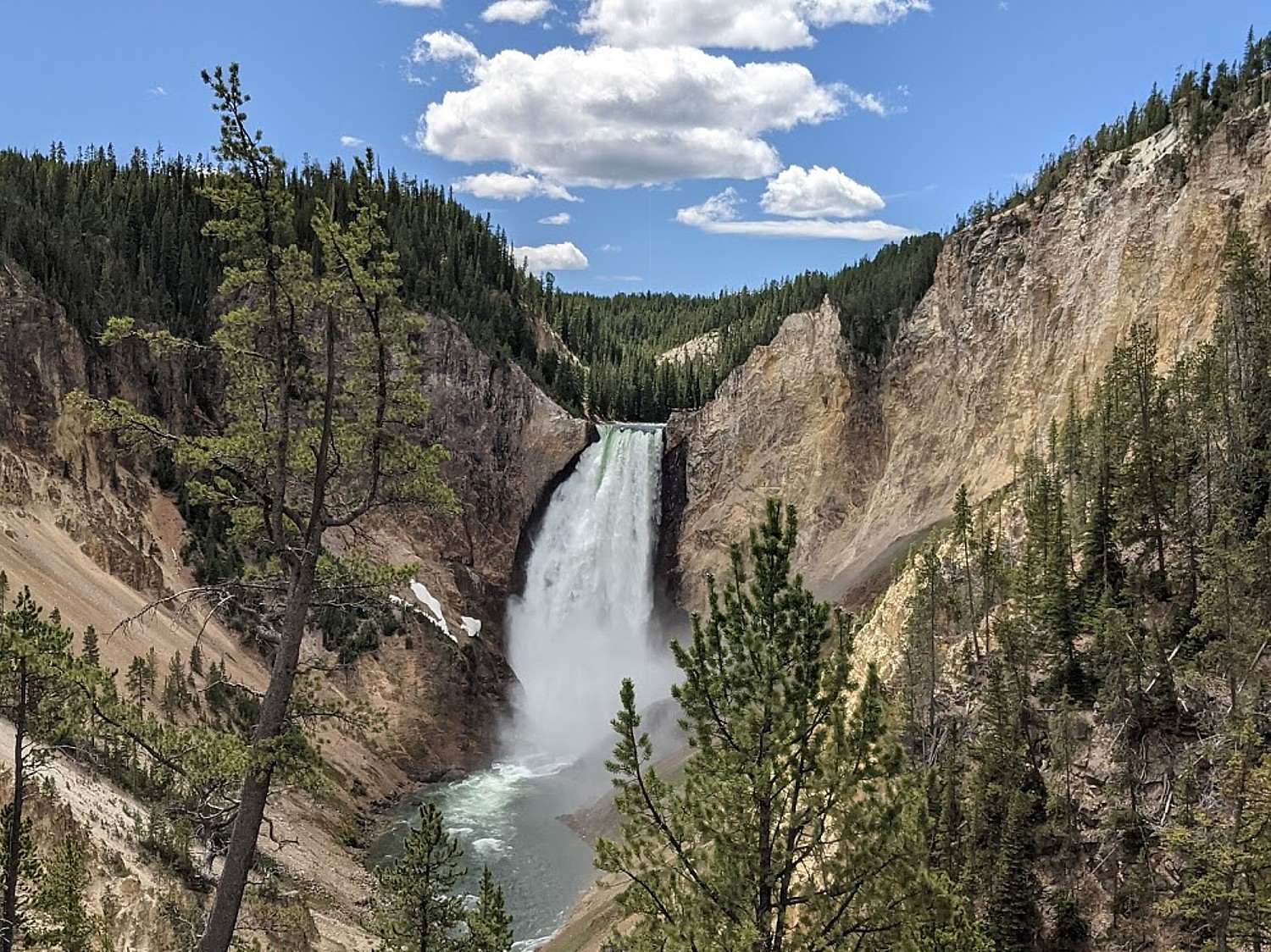
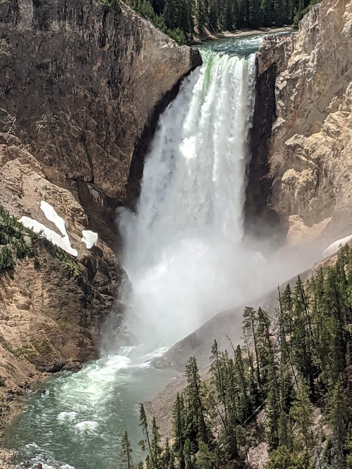
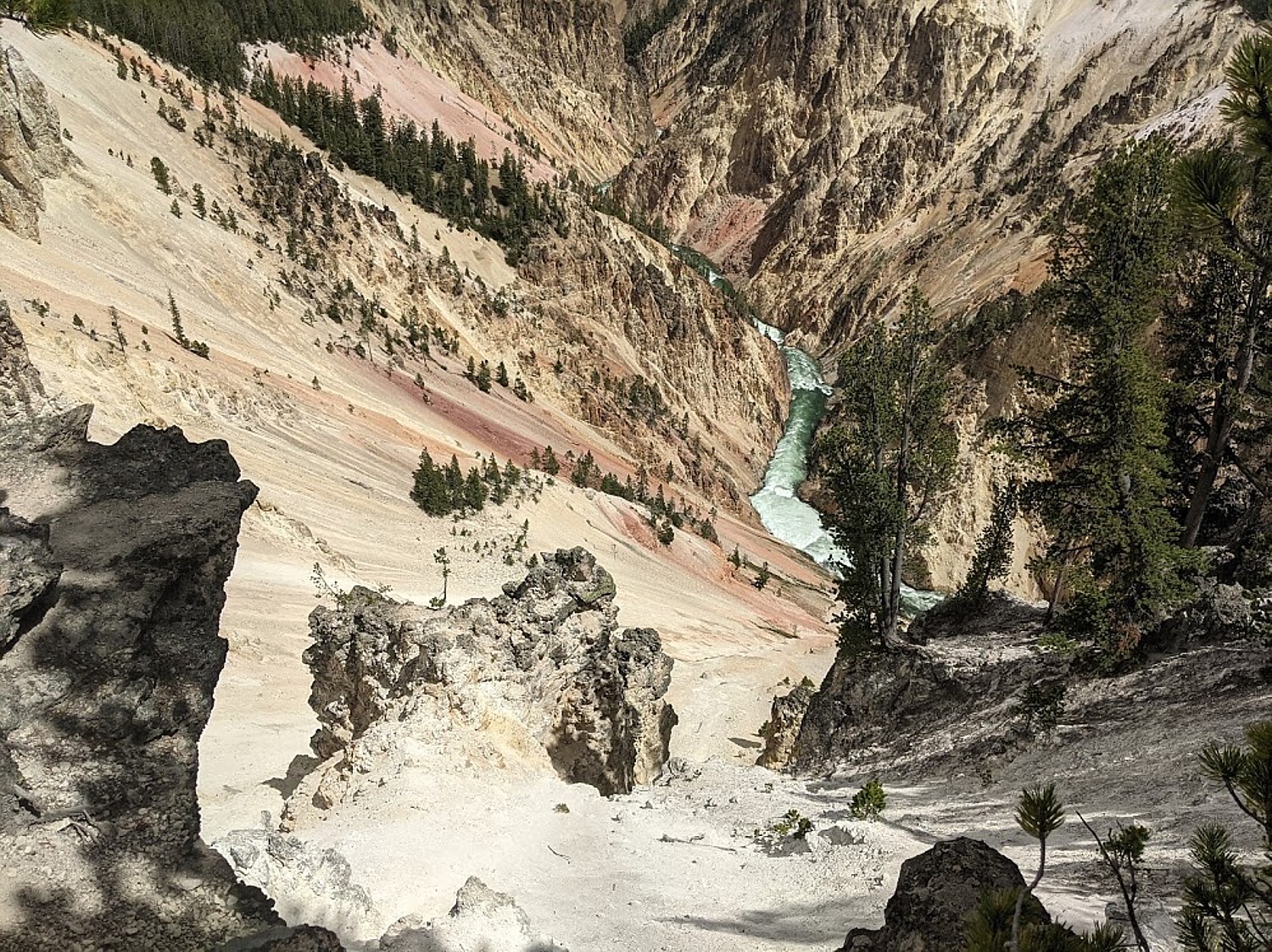
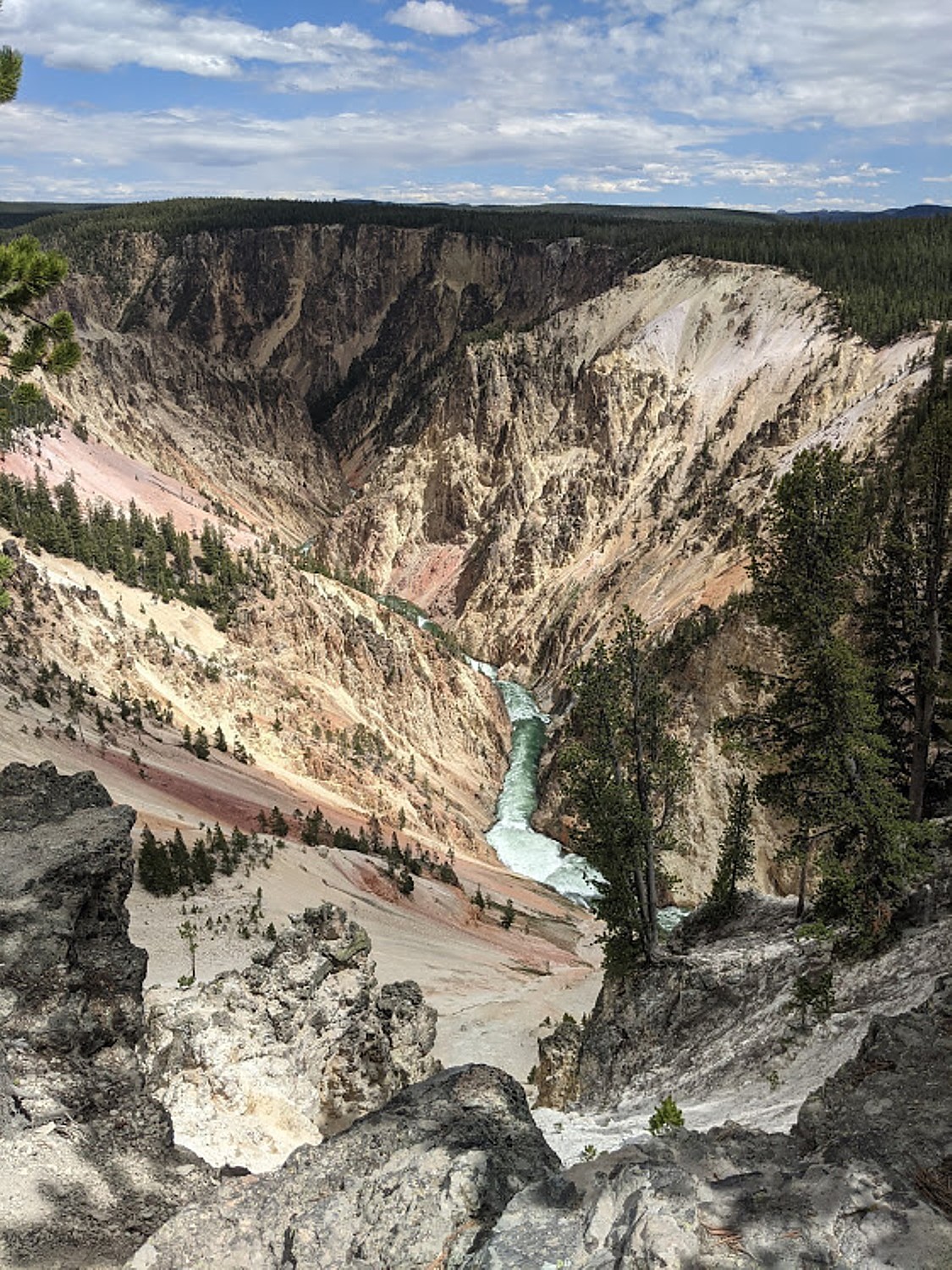
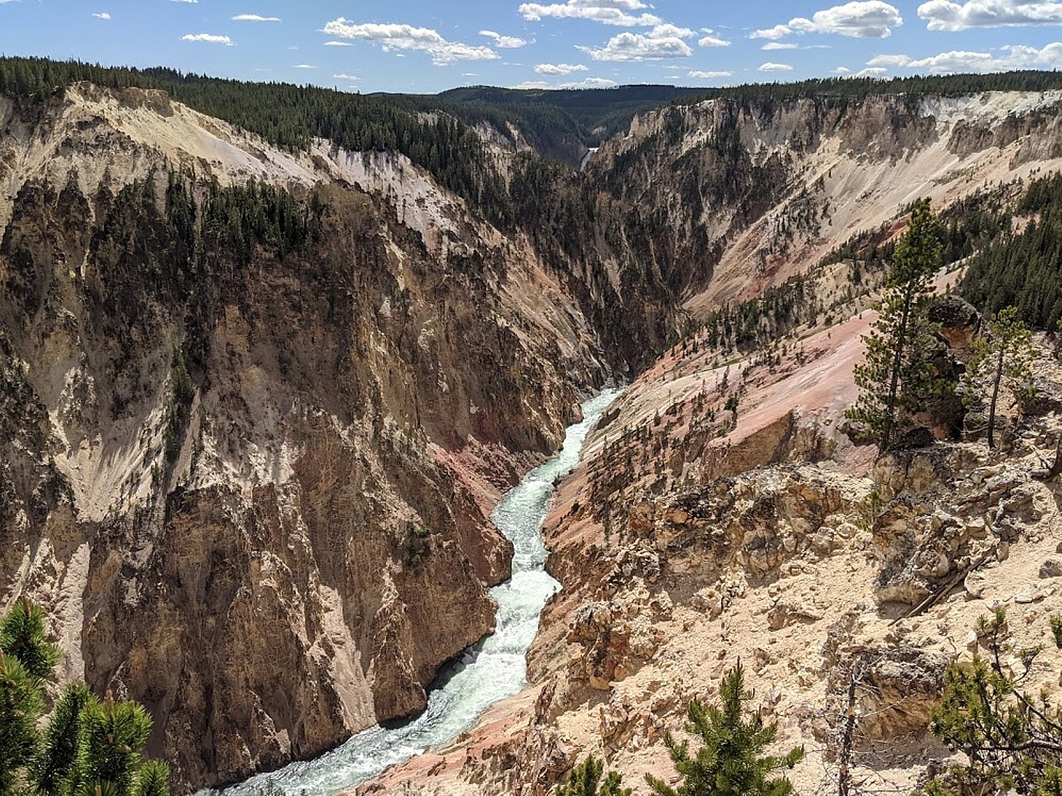
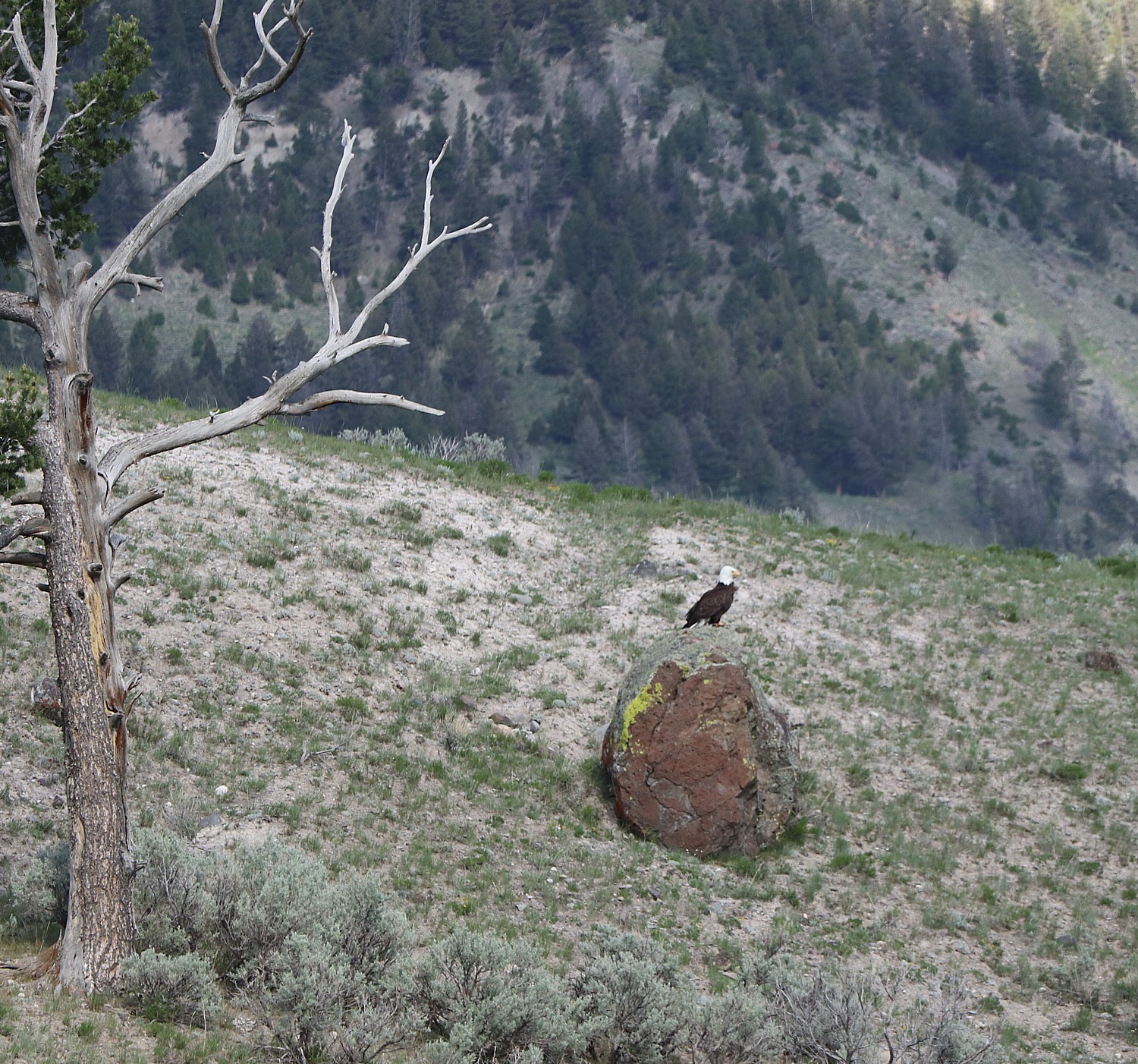
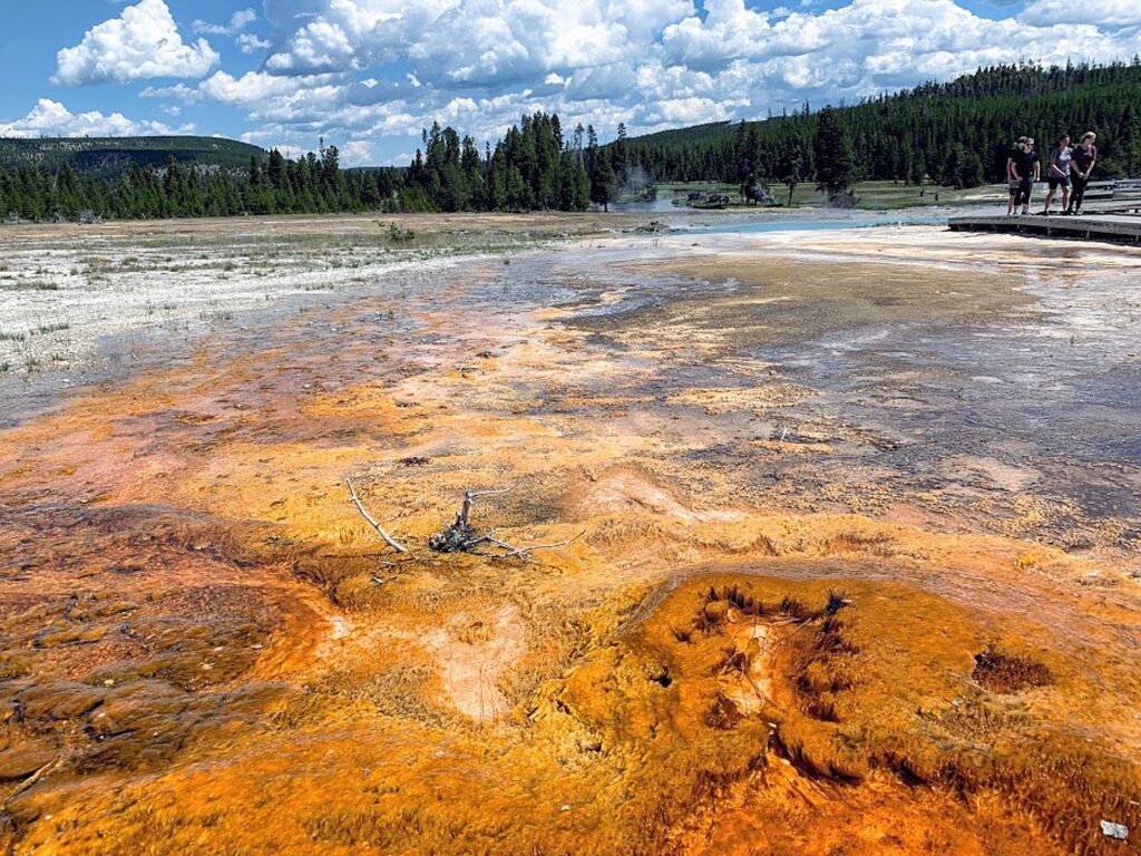
2. Yellowstone National Park: The first national park in the world is still one of the most awe-inspiring. Spanning across Wyoming with portions in Montana and Idaho, Yellowstone and its bubbling geysers, colorful hot springs, and vast wildlife sightings (bison! bears! elk!) make every visit feel like a real-life safari. Add in stunning canyons and wide-open meadows, and you’ve got a wild, wonderful trip waiting. Where to camp:
See More Campgrounds Near Yellowstone National Park
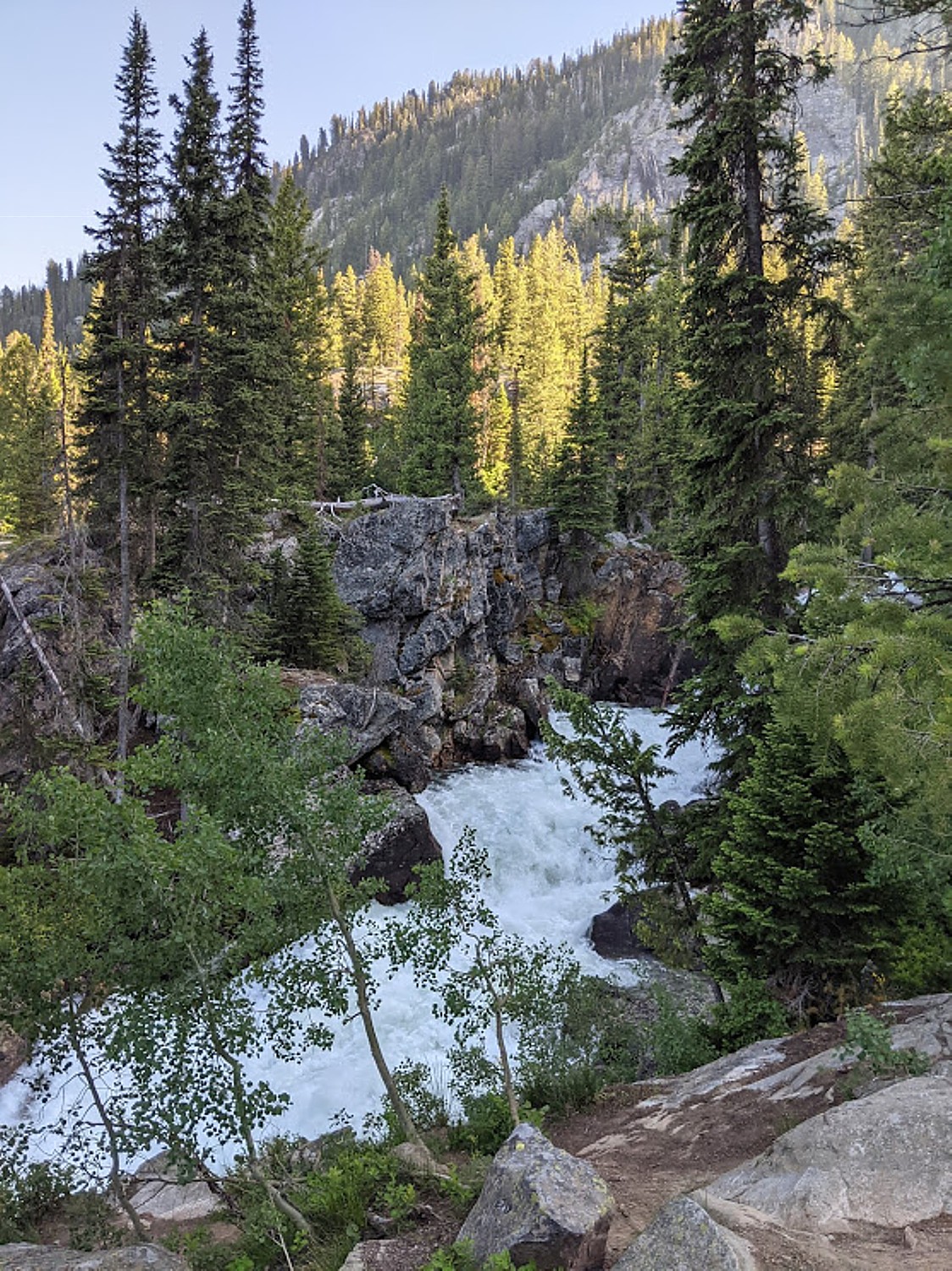
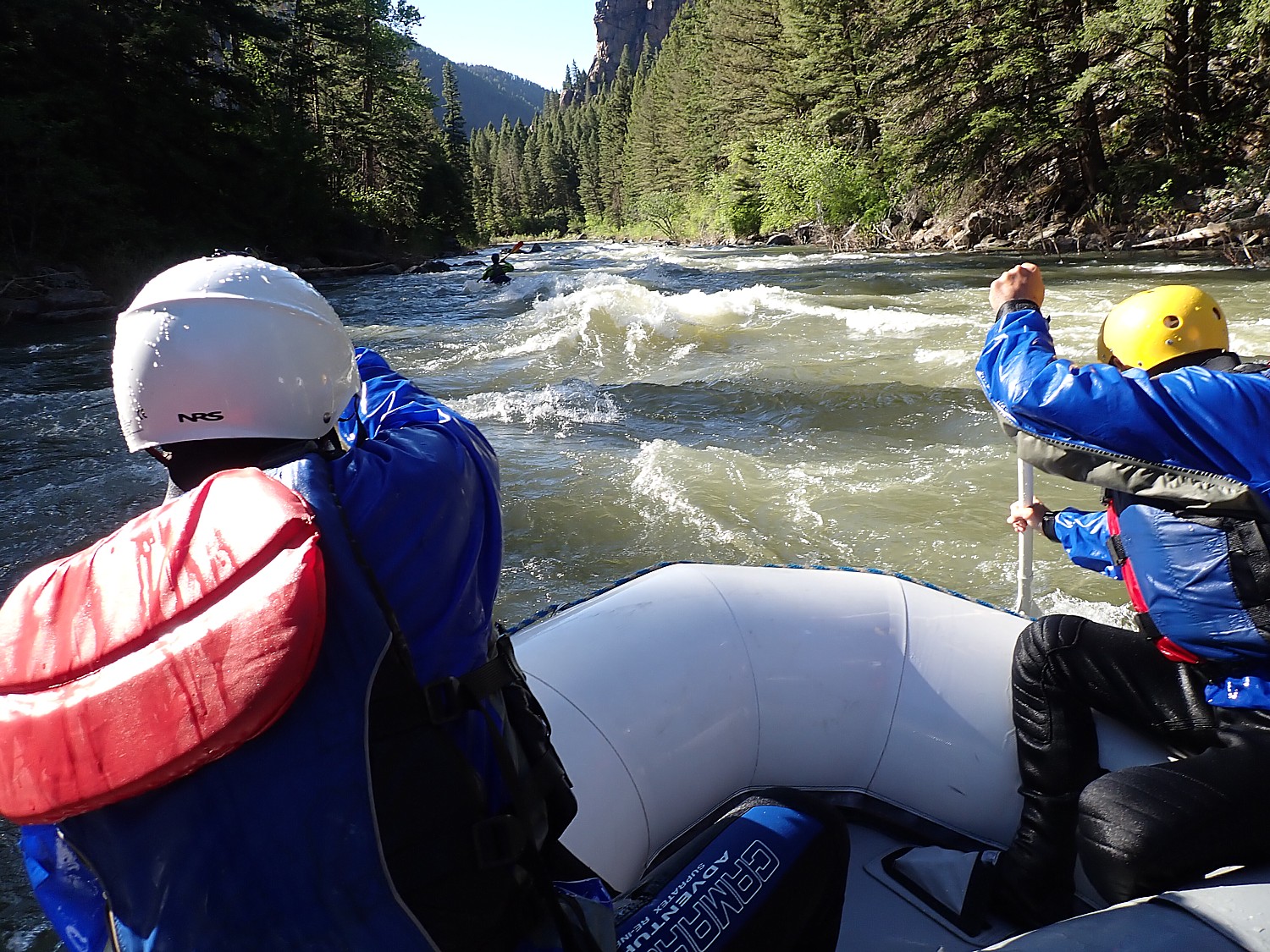
3. Glacier National Park: Alpine lakes, snow-capped peaks, and over 700 miles of trails? Glacier National Park in Montana is high on drama—in the best way. Hop on the Going-to-the-Sun Road for an unforgettable drive, or hike to hidden lakes for pure solitude. Summer is prime time, but shoulder seasons offer quieter beauty with fewer crowds. Where to camp:
See More Campgrounds Near Glacier National Park
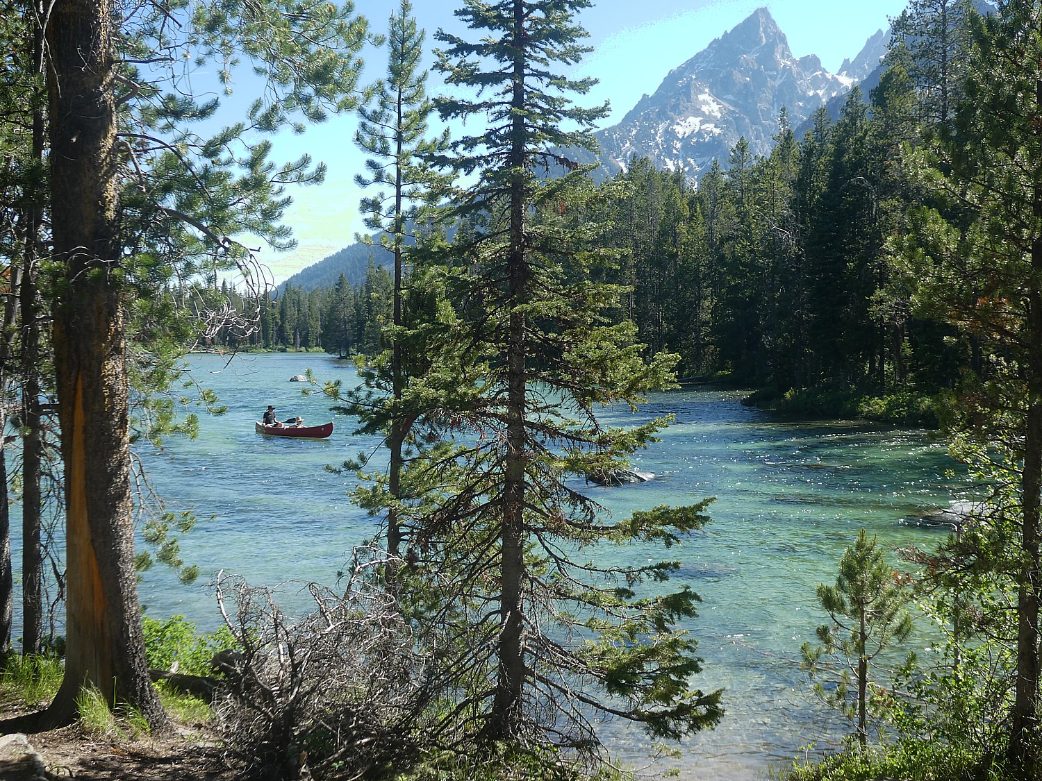
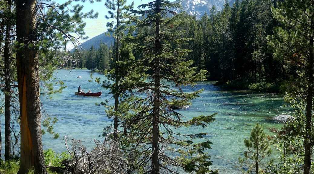
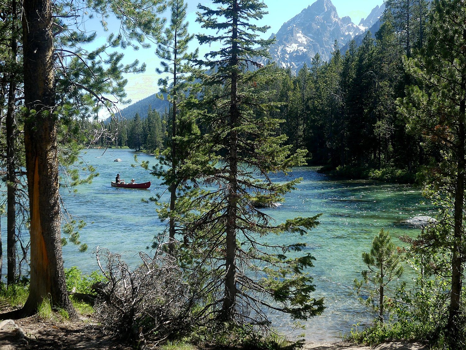
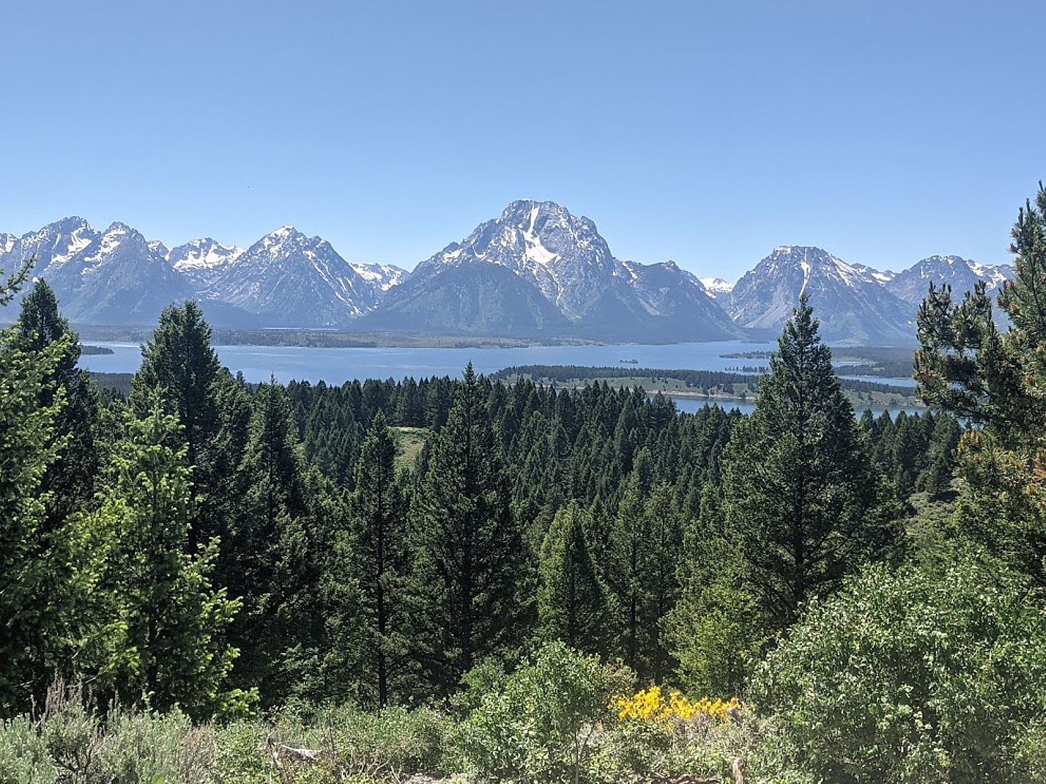
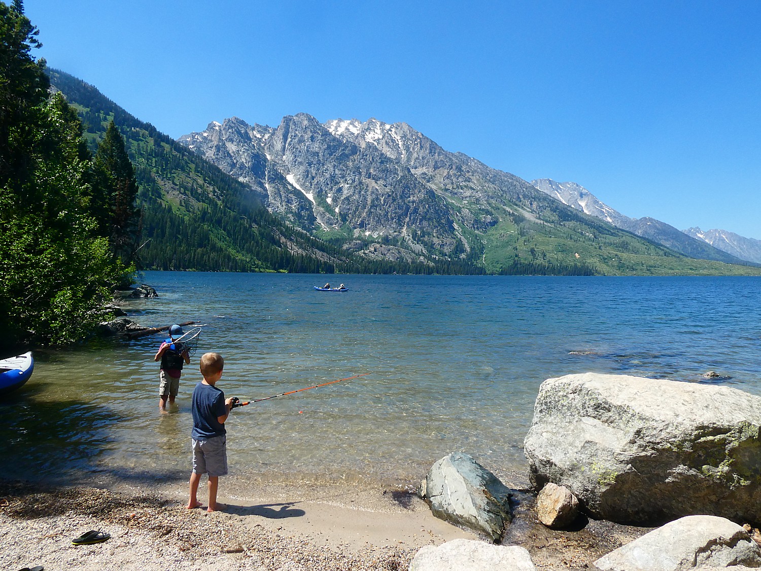
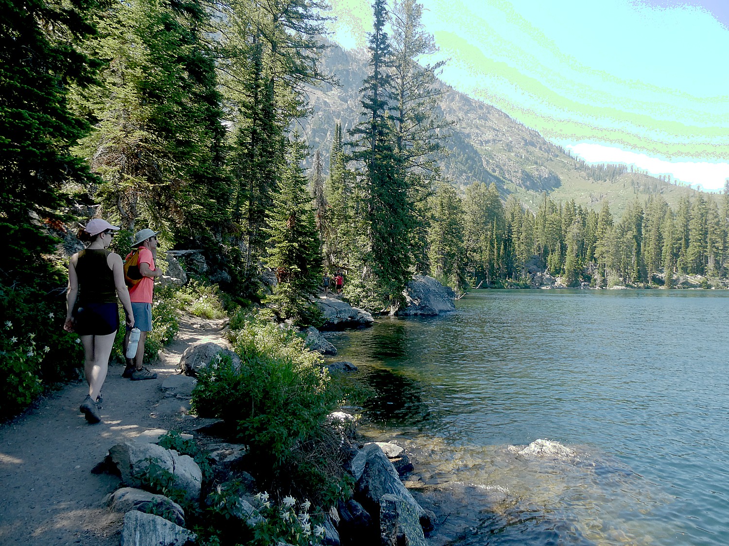
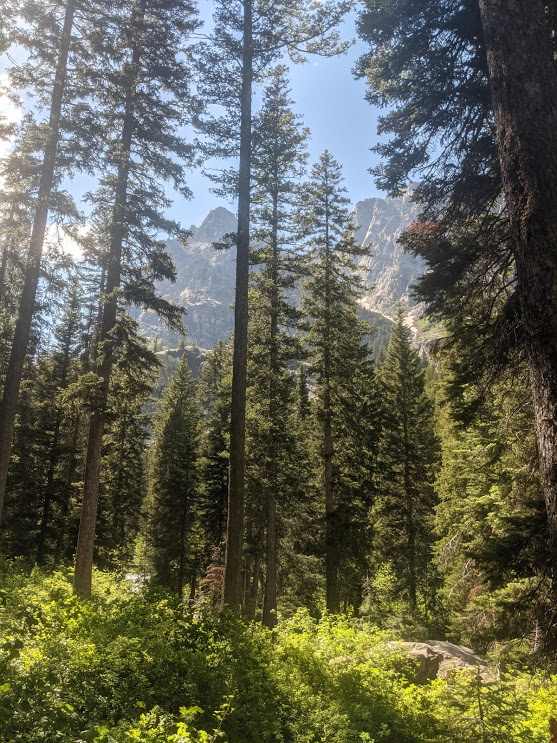
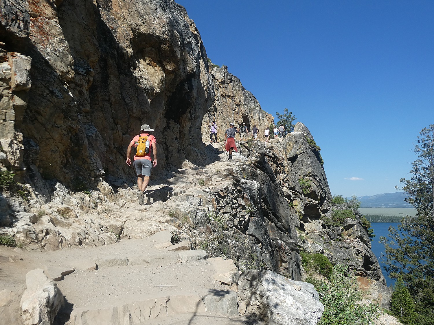
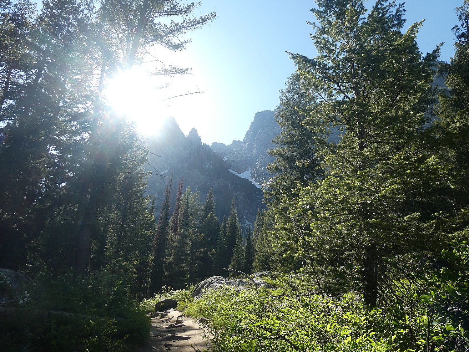
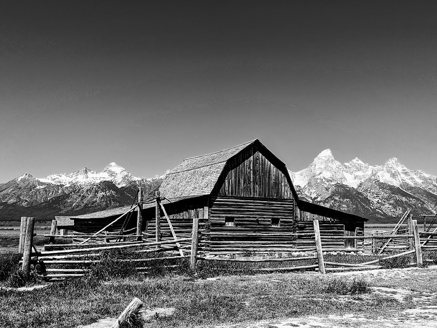
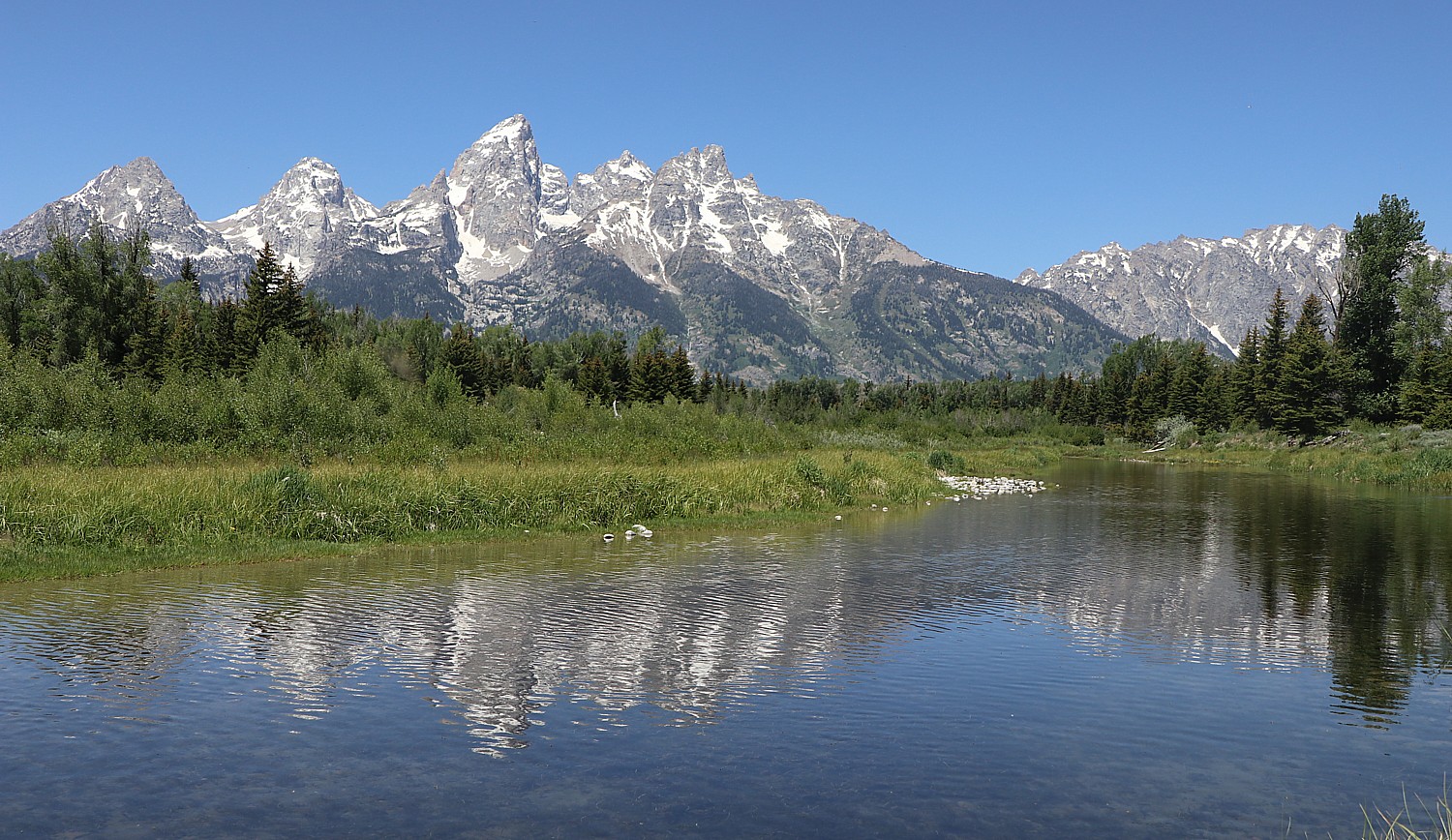
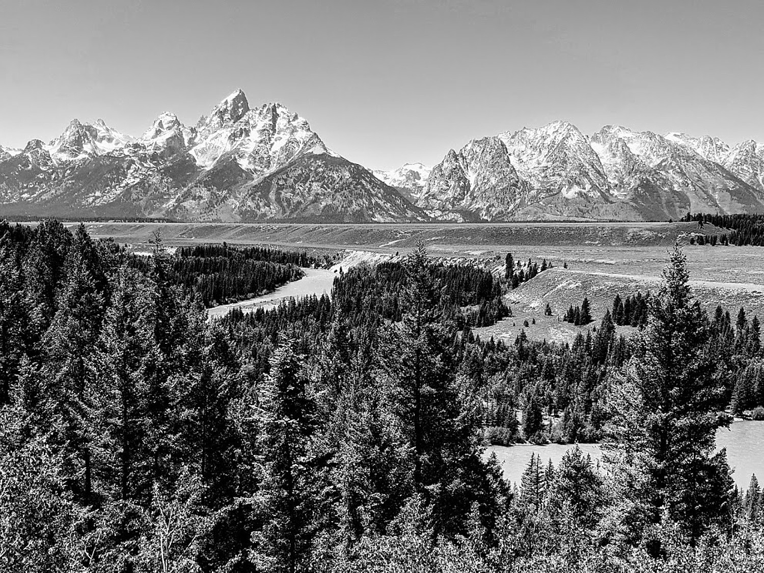
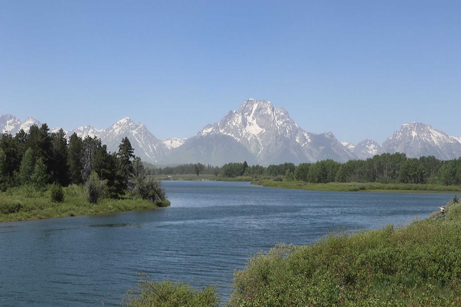
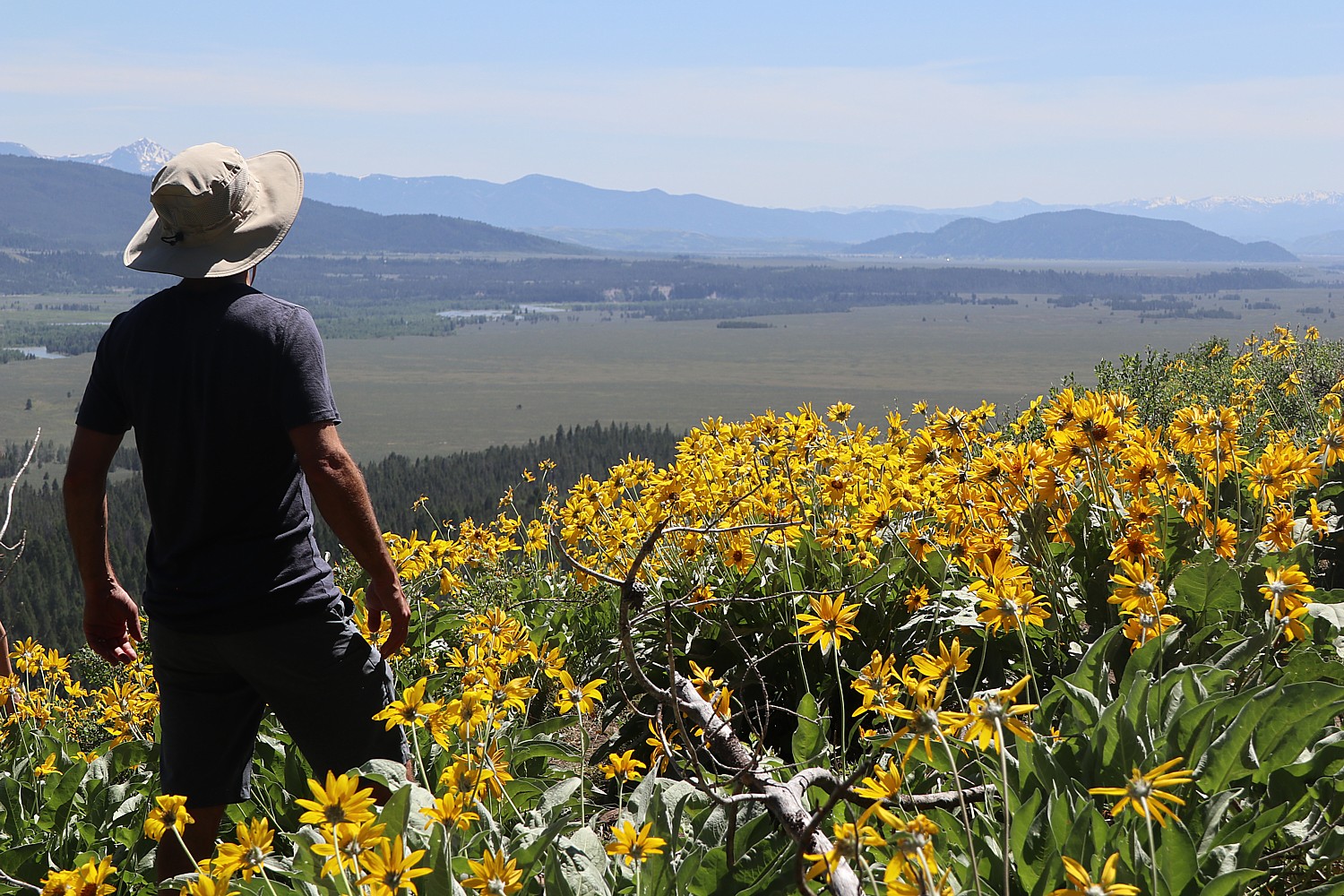
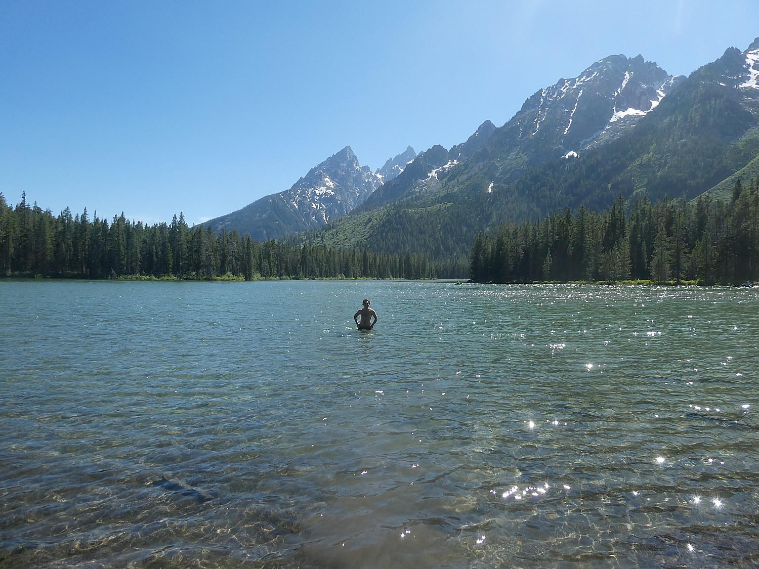
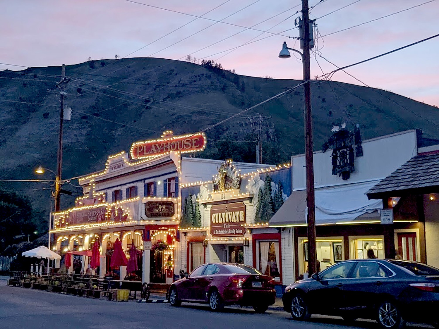
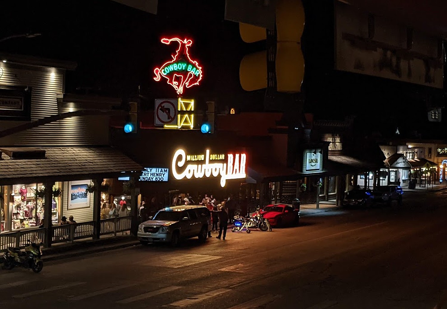
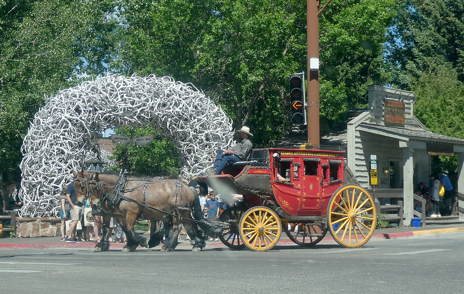
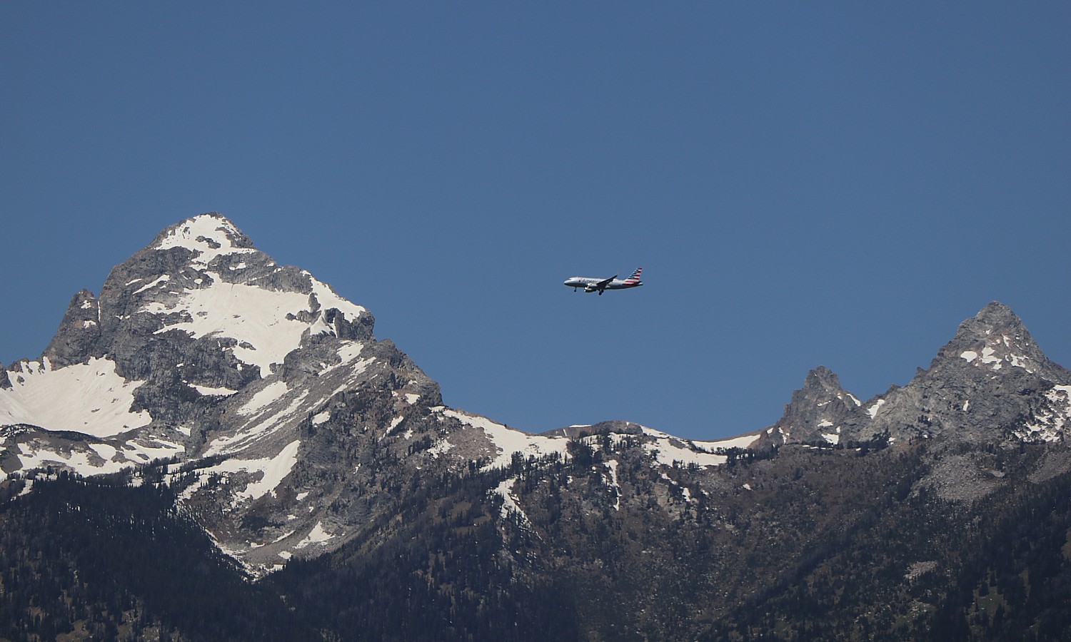
4. Grand Teton National Park: Craggy peaks, serene lakes, and a skyline so sharp it cuts through the clouds—Grand Teton National Park is Wyoming’s quieter showstopper. Kayak on Jenny Lake, catch a sunrise over the Snake River, or just enjoy the view with a picnic. Bonus: you’re close enough to Yellowstone to hit both in one trip. Where to camp:
See More Campgrounds Near Grand Teton National Park
5. Sequoia National Park: Come for the massive trees, stay for the peaceful forest vibes. Sequoia National Park in California is home to General Sherman (the largest tree on Earth) and hundreds of other giants that make you feel like you’ve stepped into a fairy tale. It’s also great for stargazing, scenic drives, and uncrowded trails. Where to camp:
See More Campgrounds Near Sequoia National Park
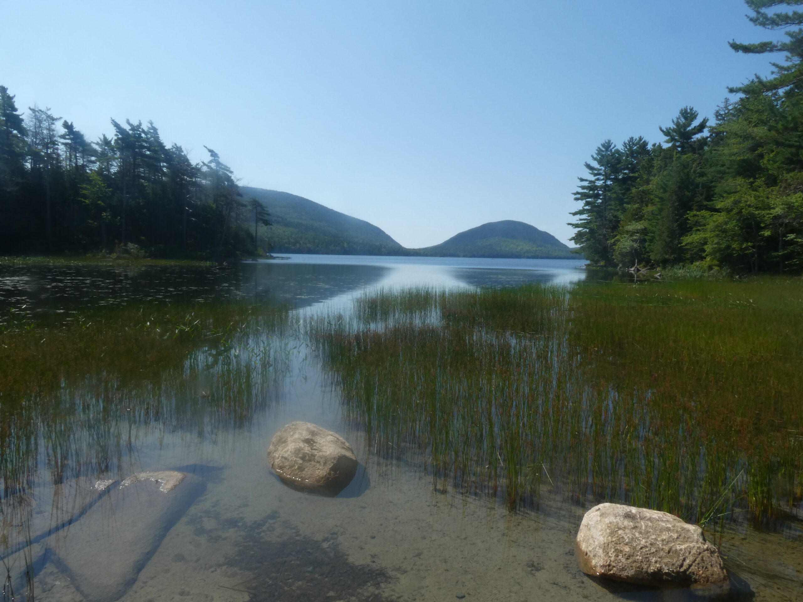
6. Acadia National Park in Maine brings serious charm where the mountains meet the sea. Hike Cadillac Mountain for one of the first sunrises in the U.S., bike the historic carriage roads, or explore tidepools along the rugged shoreline. Fall colors here are unreal. Where to camp:
Yogi Bear’s Jellystone Park™ Camp-Resort: Androscoggin Lake
See More Campgrounds Near Acadia National Park
7. Great Smoky Mountains National Park: This trending national park’s misty peaks and rolling hills are home to wildflowers, waterfalls, and a crazy amount of biodiversity. With no entrance fee, it’s America’s most-visited park. Where to camp:
See More Campgrounds Near Great Smoky Mountains National Park
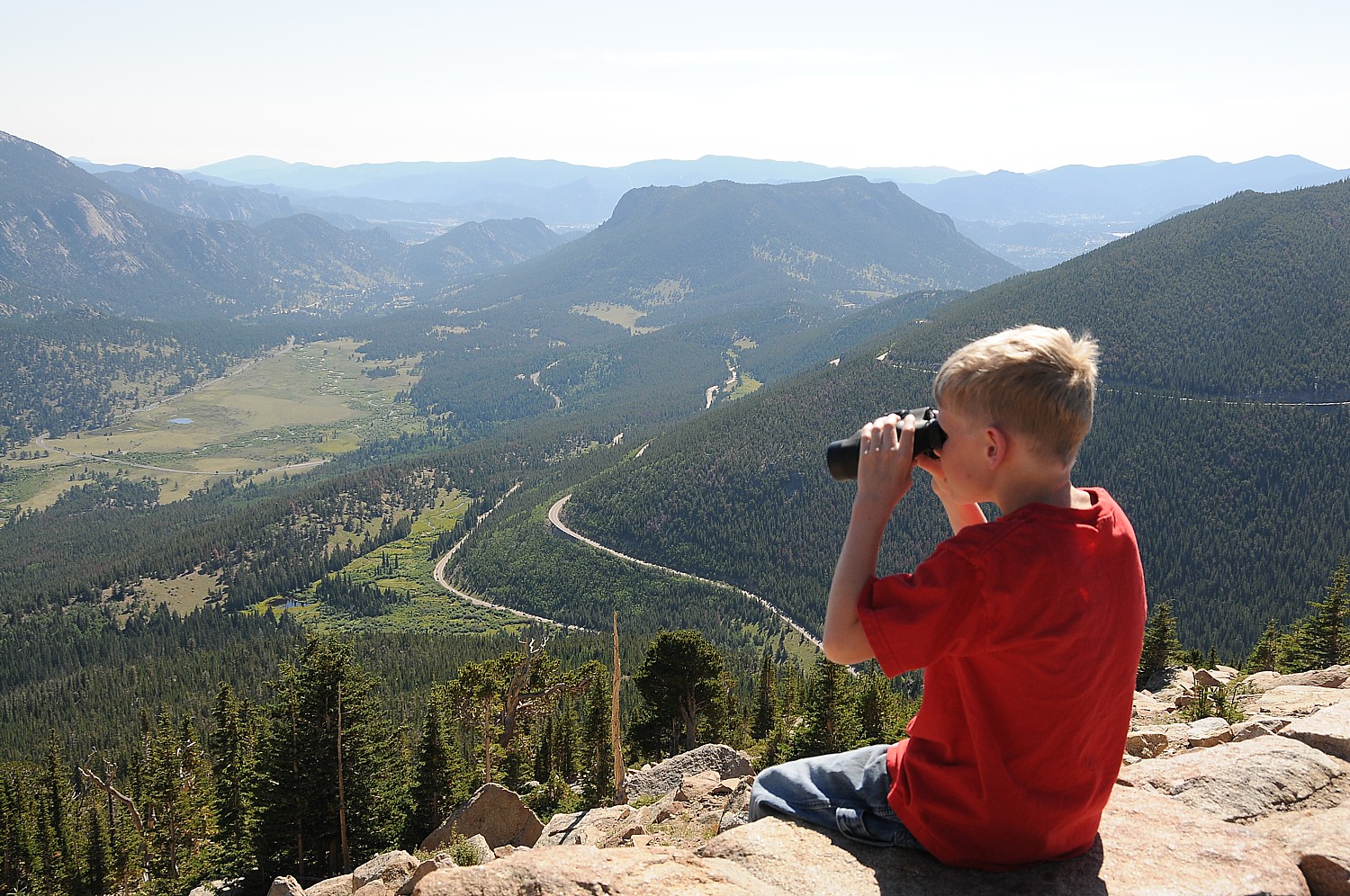
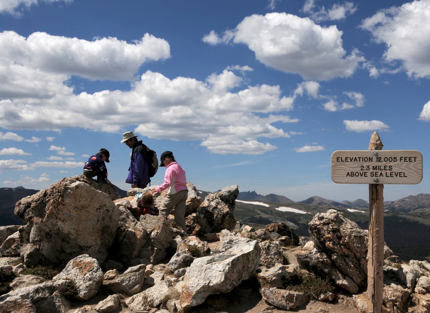
8. Rocky Mountain National Park: Reach new heights—literally. With elevations over 12,000 feet, this trending national park in Colorado is a hiker’s heaven. Think alpine tundra, glacier-fed lakes, and elk sightings around every corner. Trail Ridge Road offers stunning panoramic views, especially at sunset. Where to camp:
Yogi Bear’s Jellystone Park™ Camp-Resort: Estes Park
See More Campgrounds Near Rocky Mountain National Park
9. Hot Springs National Park: Blending history with hot water, this top national park in Arkansas is as quirky as it is relaxing. Stroll the historic Bathhouse Row or hike forested trails before soaking in the therapeutic springs. It’s like stepping into a vintage spa town with a dash of outdoor adventure. Where to camp:
See More Campgrounds Near Hot Springs National Park
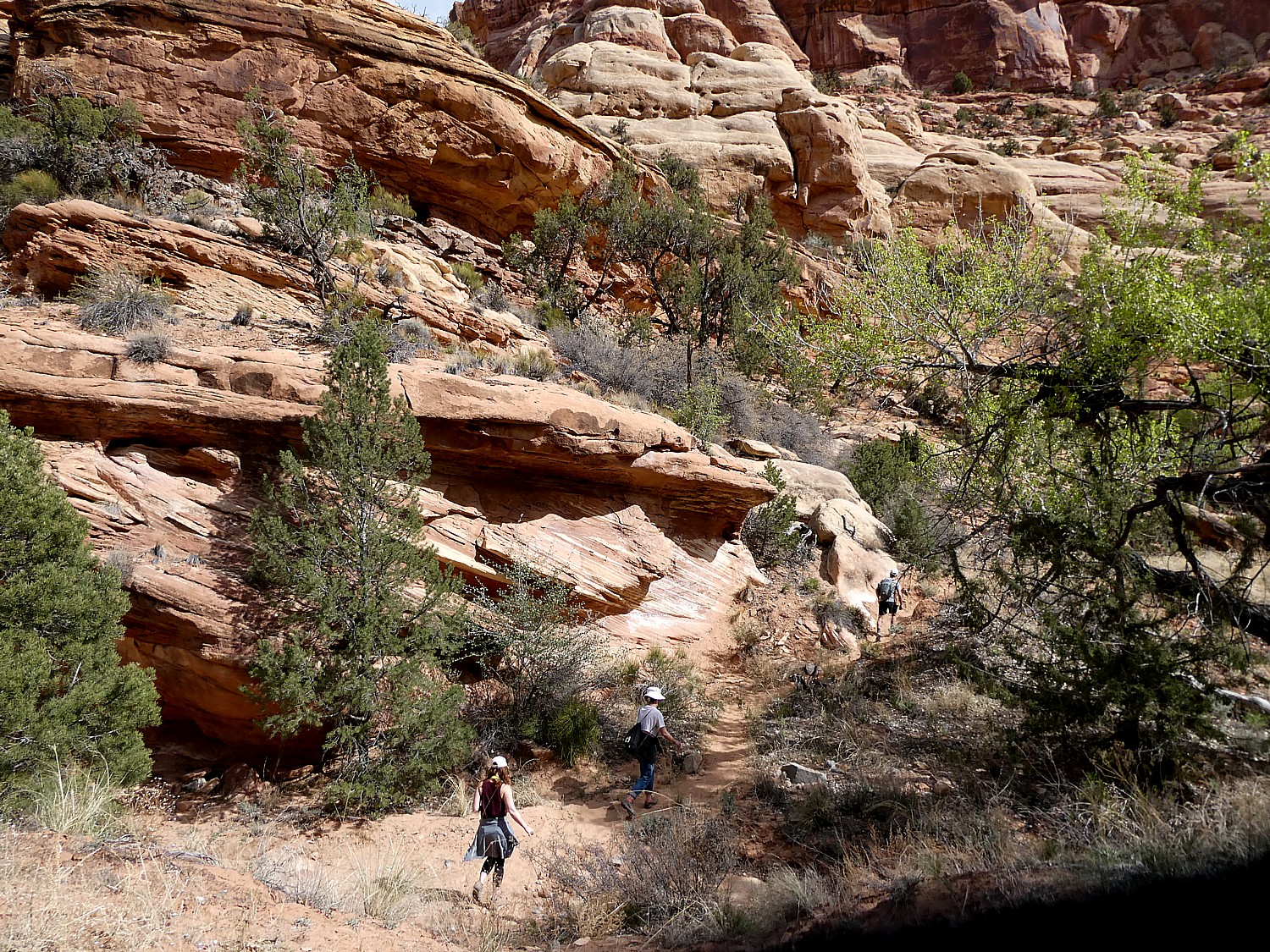
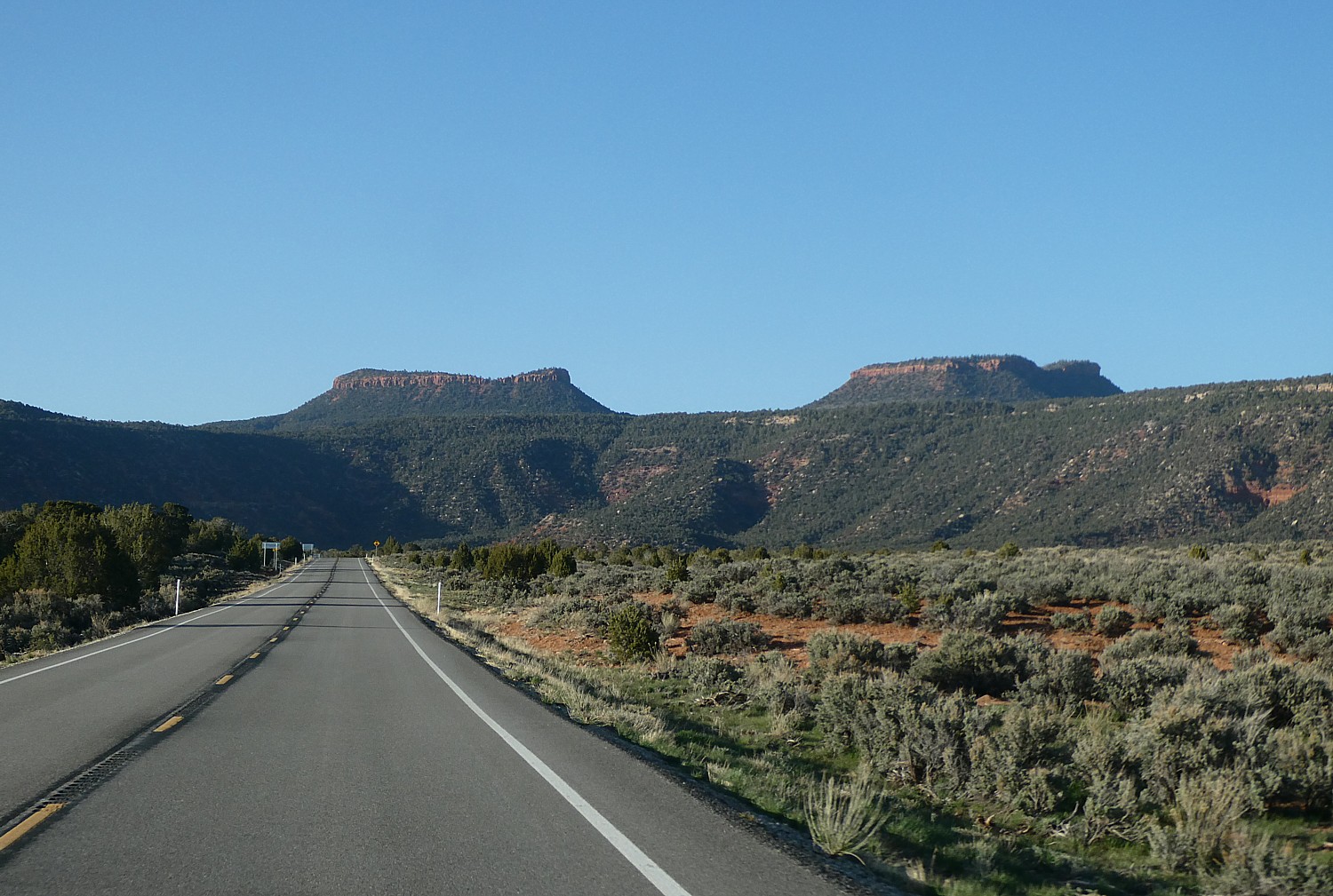
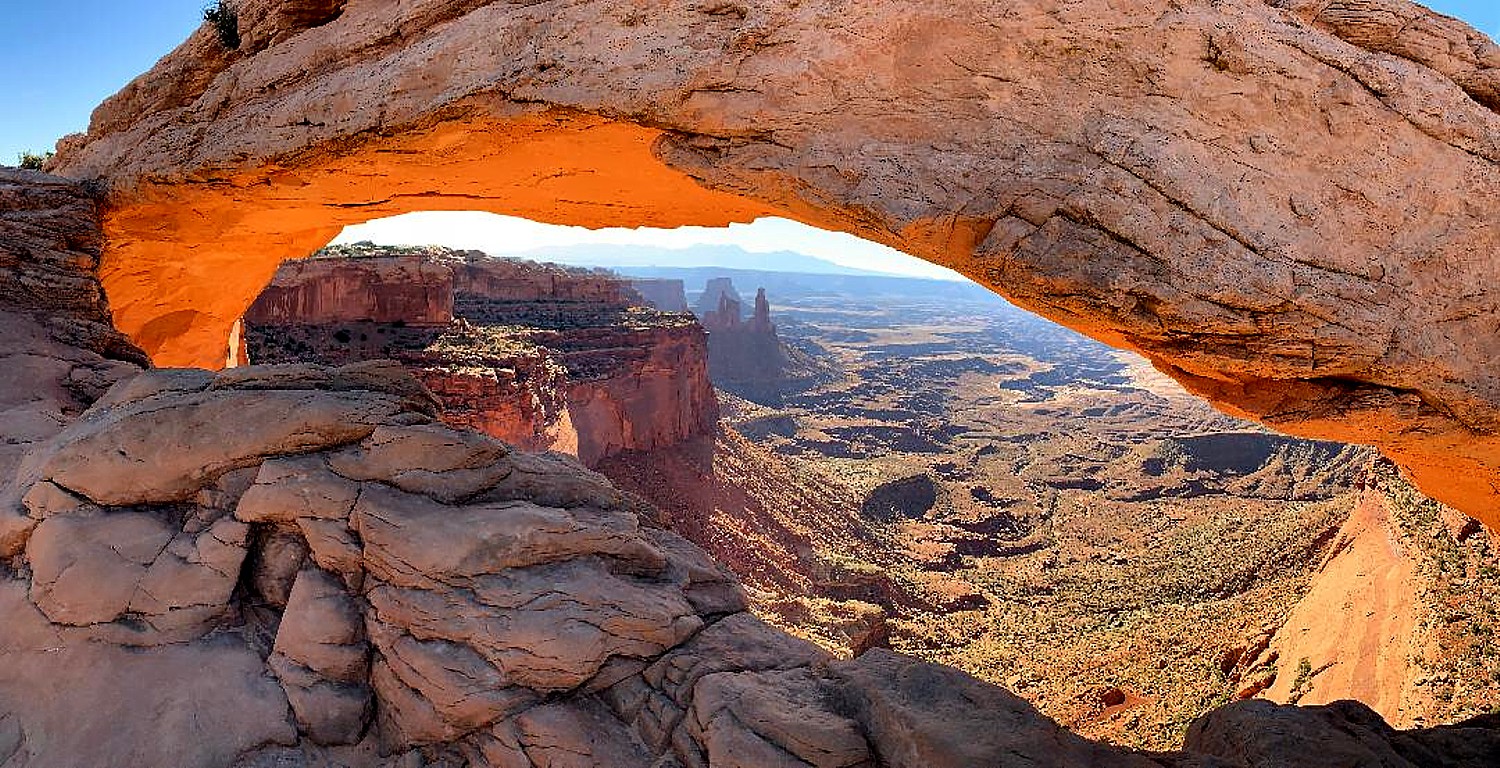
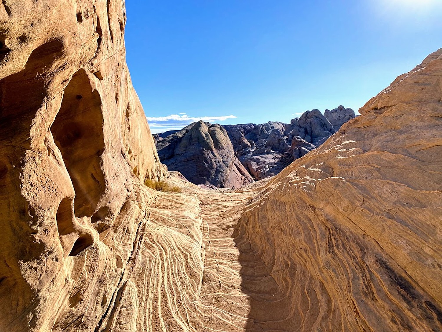
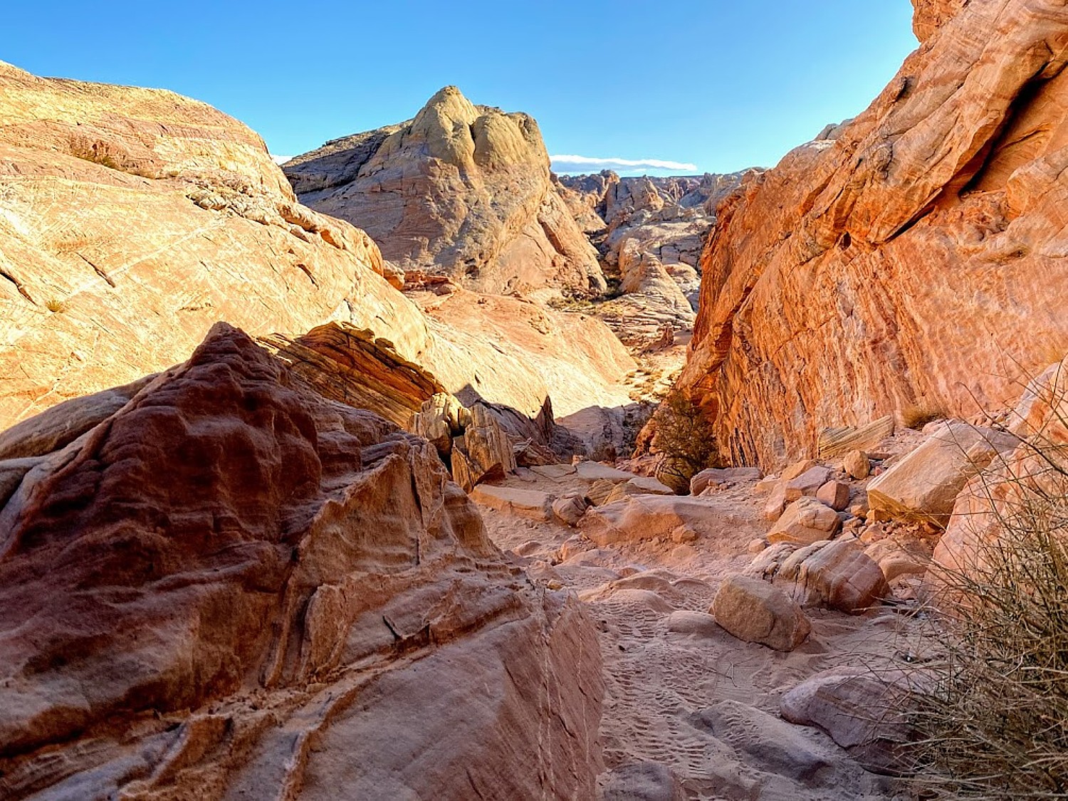
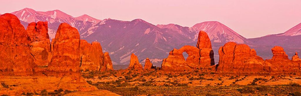
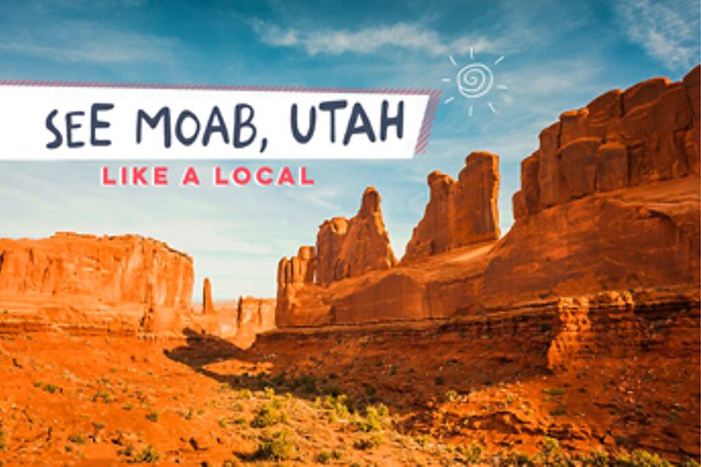
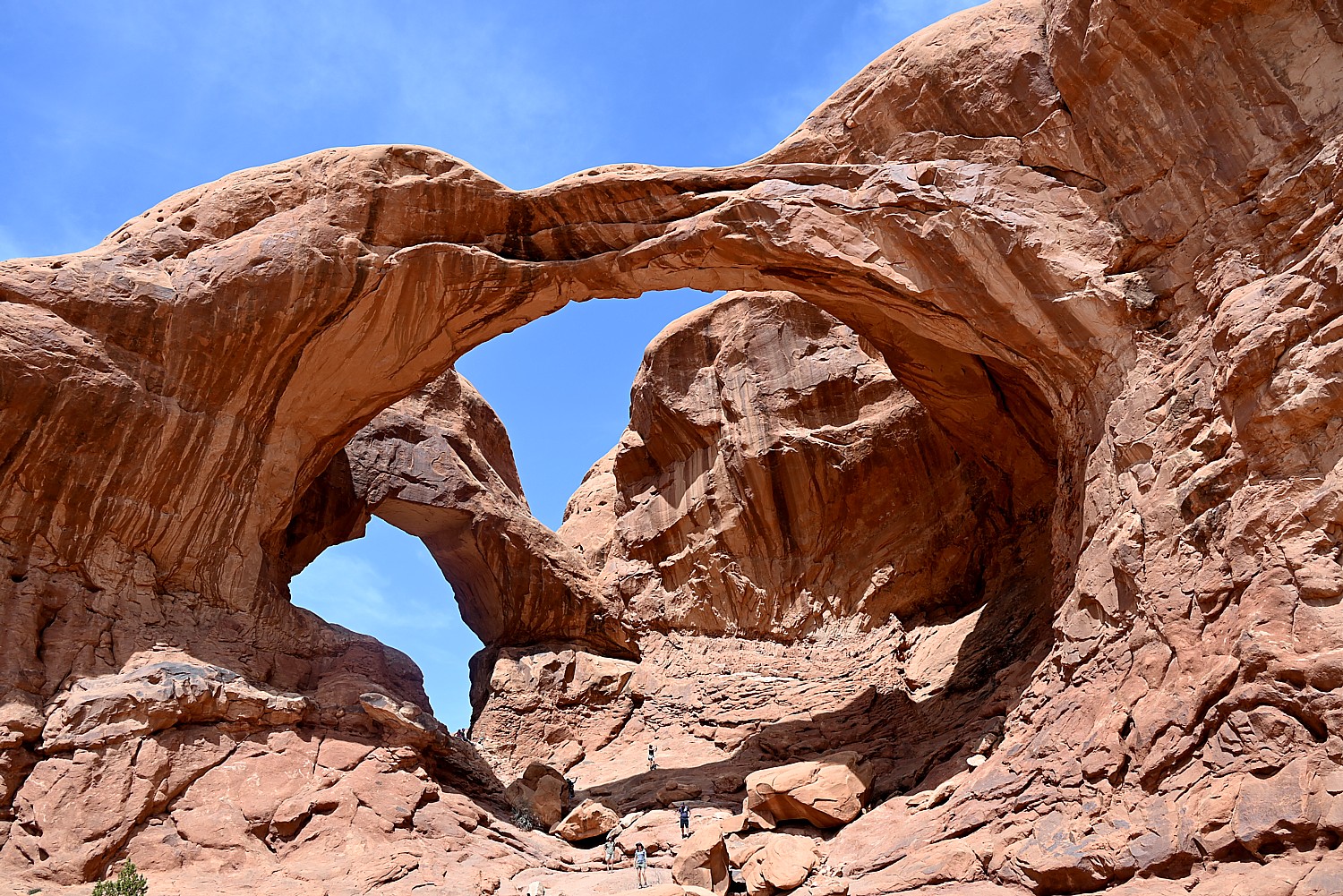
10. Arches National Park: Otherworldly red rock formations and over 2,000 natural arches make this a can’t-miss stop in Utah’s canyon country. Sunrise and sunset bring the landscape to life with shifting colors, and even short hikes lead to jaw-dropping payoffs. Bring water—it’s hot, dry, and totally worth it. You also need to purchase timed-entry reservations during peak season. Where to camp:
Sun Outdoors Canyonlands Gateway
See More Campgrounds Near Arches National Park
11. Joshua Tree National Park: Where two deserts collide, weird and wonderful things grow. Sitting between the Mojave Desert and Colorado Desert, Joshua Tree National Park in California sports signature trees, giant boulders, and cosmic night skies, making it a magnet for artists, stargazers, and climbers alike. Sunrise hikes and campfire nights here are something special. Where to camp:
The Sands RV & Golf Resort (55+)
See More Campgrounds Near Joshua Tree National Park
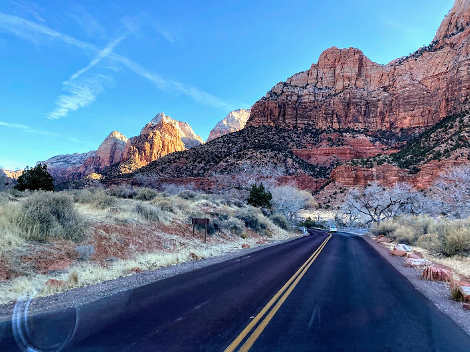
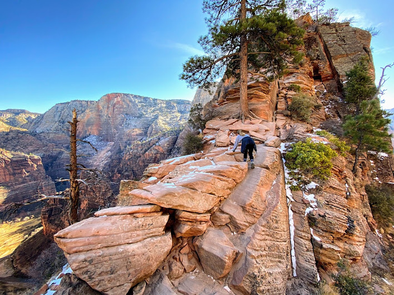
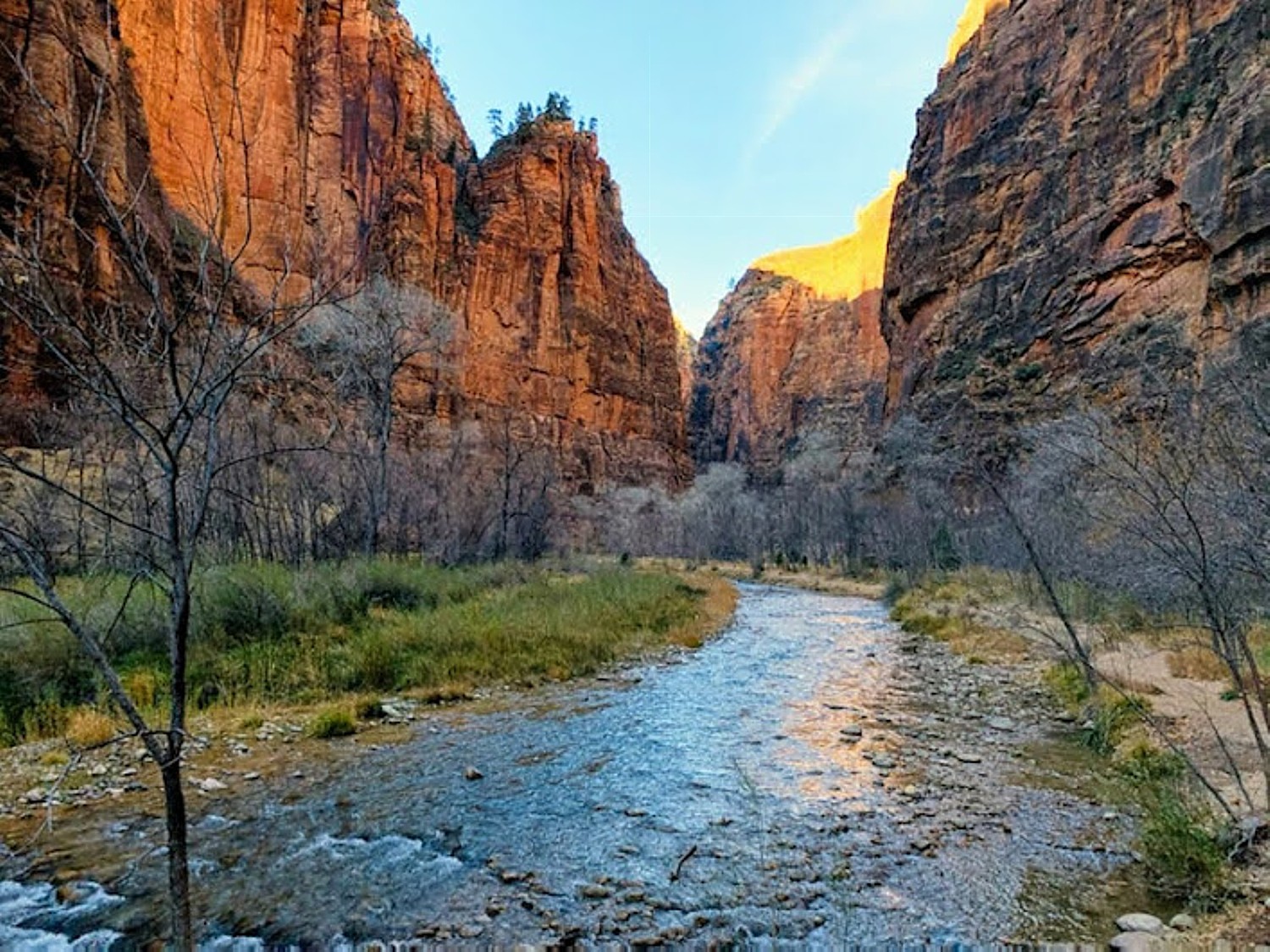
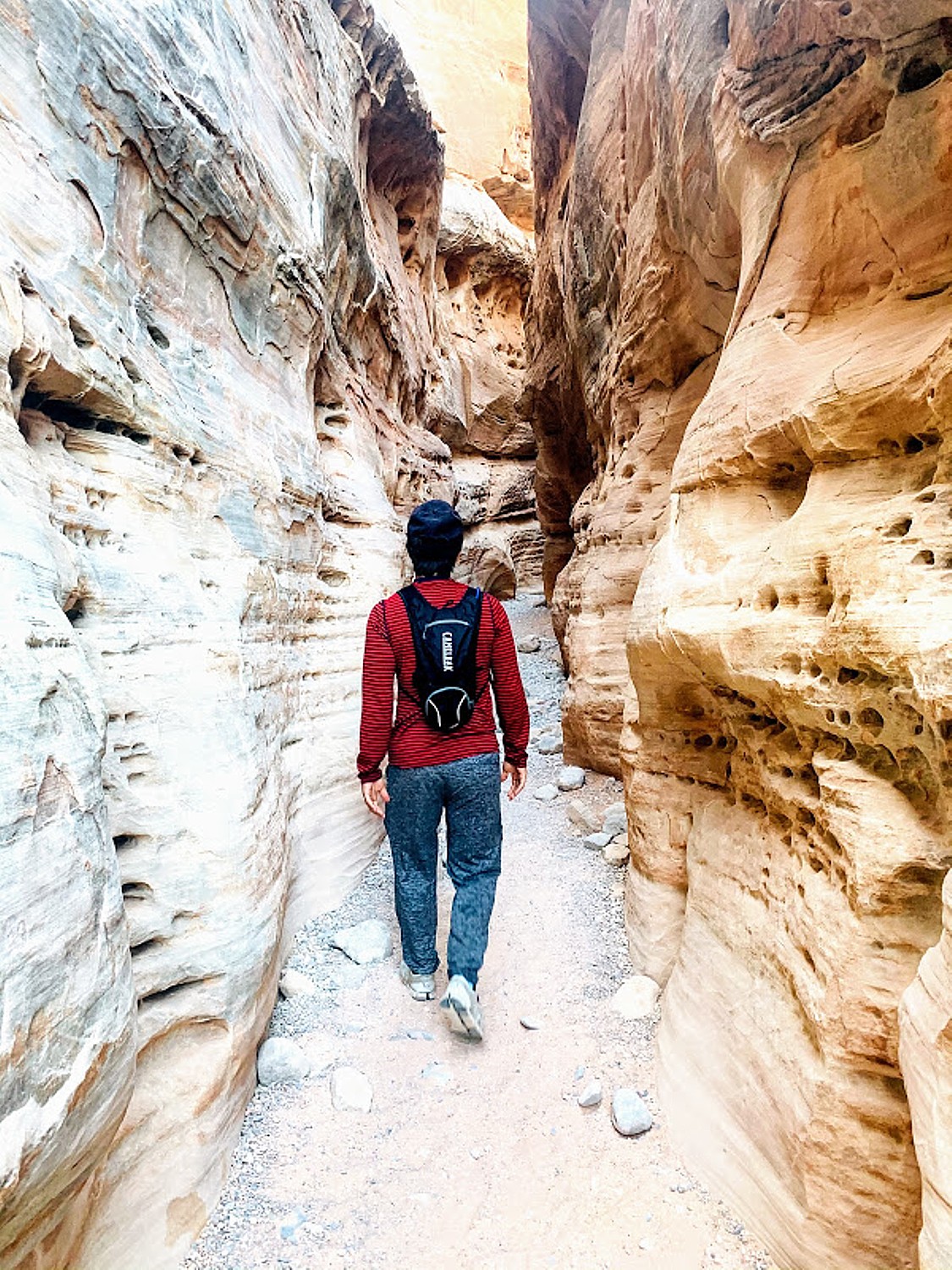
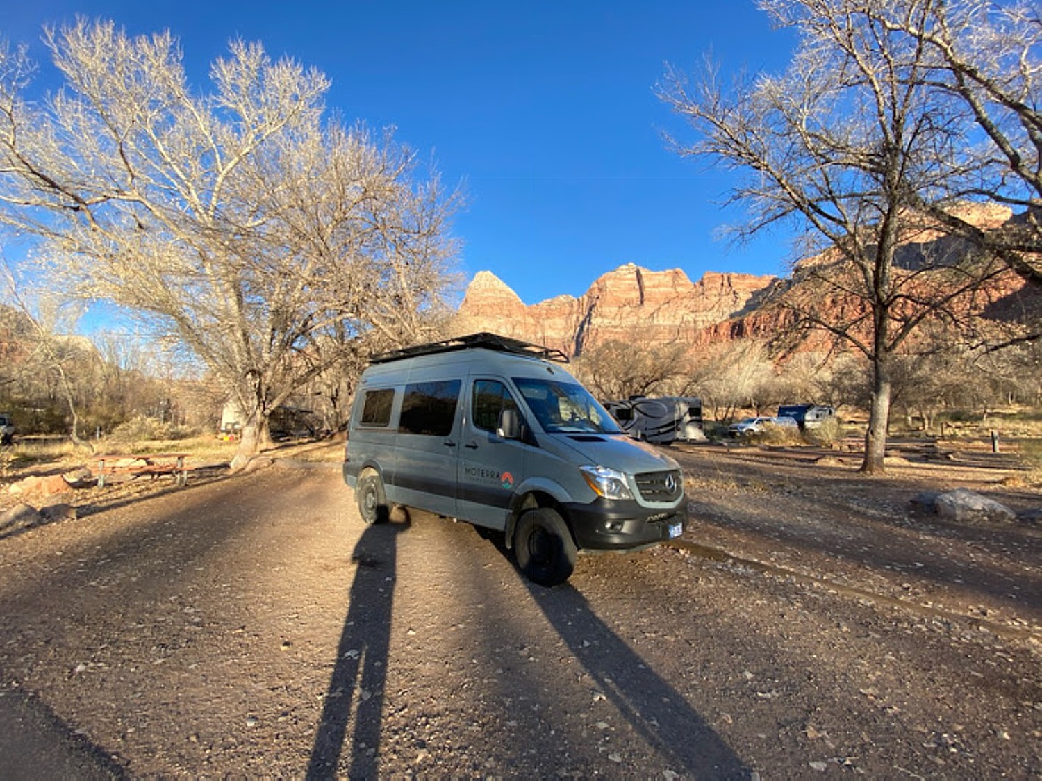
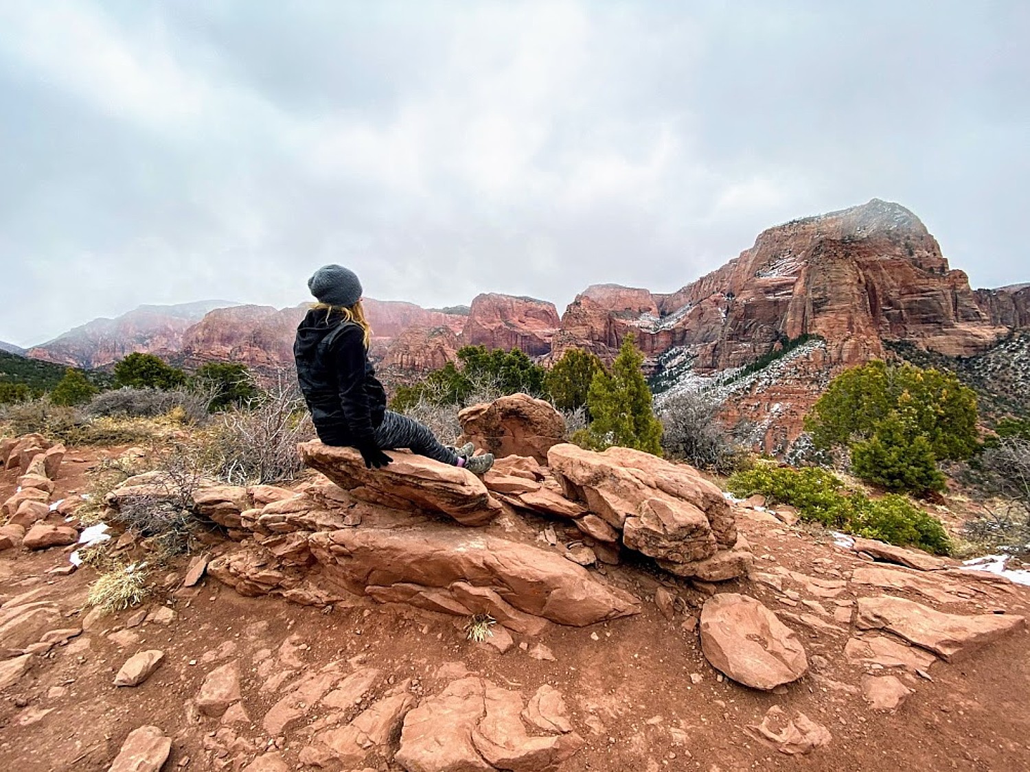
12. Zion National Park: Towering red cliffs, dramatic canyons, and trails like Angel’s Landing and The Narrows—Zion brings the wow at this trending national park in Utah. Ride the park shuttle for easy access, then lace up for adventures that range from family-friendly strolls to heart-pounding scrambles. Where to camp:
Kaibab Paiute RV Park and Campground
See More Campgrounds Near Zion National Park
13. Indiana Dunes National Park: A lakefront surprise in the Midwest, Indiana Dunes offers sandy beaches, sweeping dunes, and lush inland trails. Great for swimming, birdwatching, or just a laid-back beach day near Chicago. Where to camp:
See More Campgrounds Near Indiana Dunes National Park
14. Olympic National Park: Rainforests, mountain peaks, and the wild coastline of Washington—Olympic National Park’s diversity is unreal. You can hike a glacier one day and walk the beach the next. Don’t miss Hoh Rain Forest or Hurricane Ridge, and keep an eye out for elk, eagles, and tidepool treasures.
Where to camp:
The Campground at Jefferson County Fairgrounds
See More Campgrounds Near Olympic National Park
15. Everglades National Park: Welcome to the swamp (the good kind). The Everglades National Park in Florida is home to gators, manatees, and miles of slow-moving rivers and marshland. Explore by kayak or airboat and experience one of the most unique ecosystems in the U.S. Don’t forget the bug spray! Where to camp:
See More Campgrounds Near Everglades National Park
KOA’s List of ’14 Must See National Parks’
Kampgrounds of America has published its own list of “14 Must-See National Parks” (no surprise with the overlap with Campsite’s trending parks) with the KOA campgrounds that are nearby, compiled by Matt Kirouac (https://koa.com/blog/must-see-national-parks/). Kirouac’s list includes:
Great Smoky Mountains National Park
Townsend / Great Smokies KOA Holiday
Pigeon Forge / Gatlinburg KOA Holiday
Cherokee / Great Smokies KOA Holiday
Gatlinburg East / Smoky Mountain KOA Holiday
Yellowstone National Park

Livingston / Paradise Valley KOA Holiday
Red Lodge KOA Journey
Cody KOA Holiday
Dubois / White River KOA Holiday
Yellowstone Park / Mountainside KOA Journey
Yellowstone Park / West Gate KOA
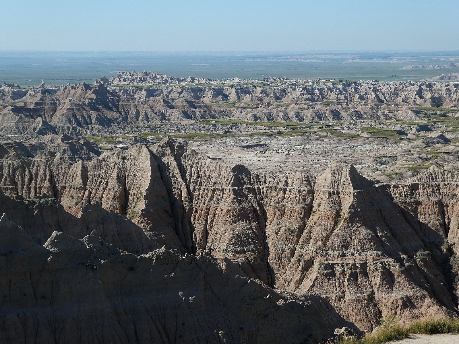
Badlands National Park (Badlands / White River KOA Holiday)
Saguaro National Park (Tucson / Lazydays KOA Resort)
Hot Springs National Park (Hot Springs National Park KOA Holiday)
Haleakalā National Park
Carlsbad Caverns National Park (Carlsbad KOA Holiday)
Crater Lake National Park (Lemolo Lark / Crater Lake North KOA Holiday)
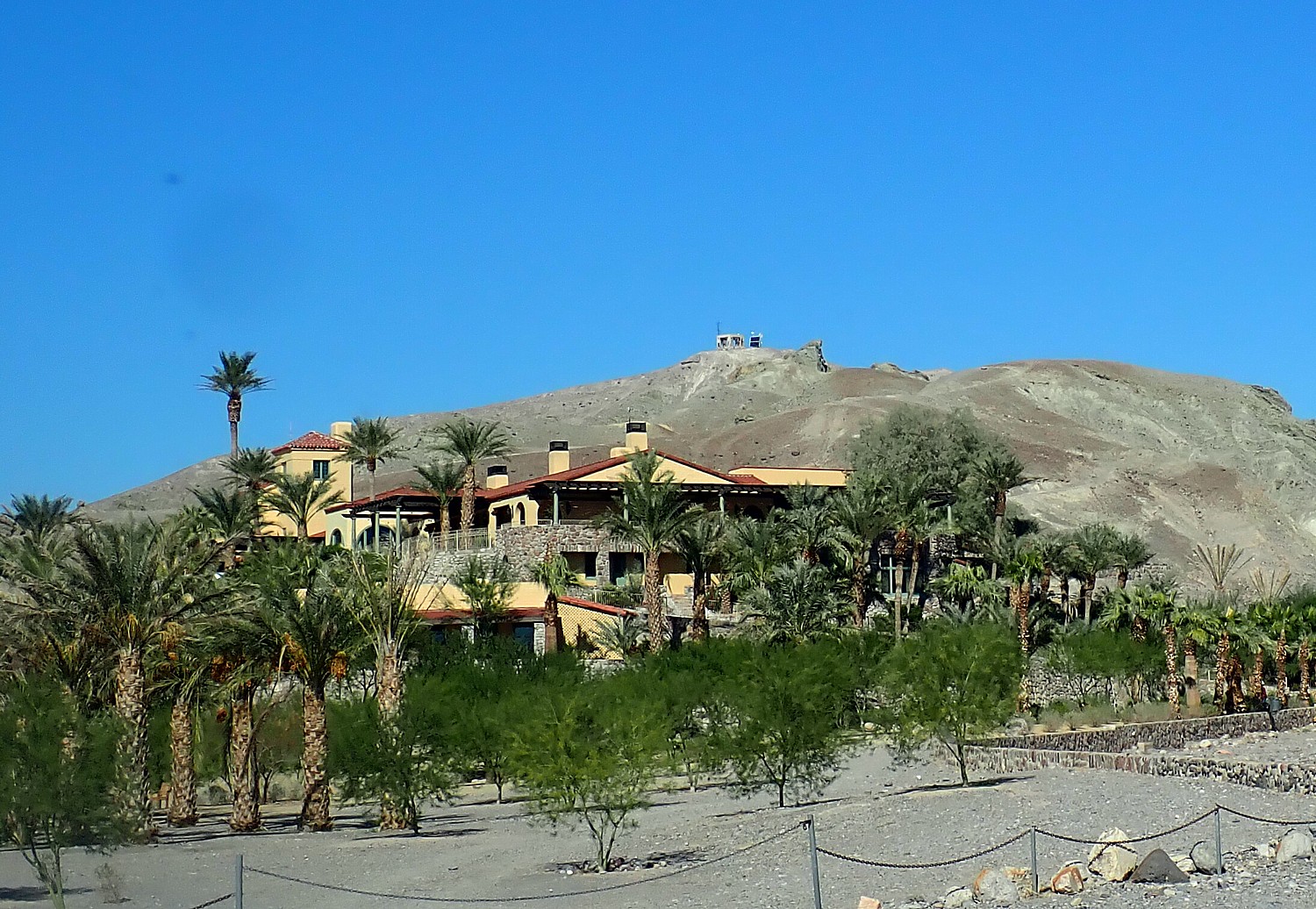
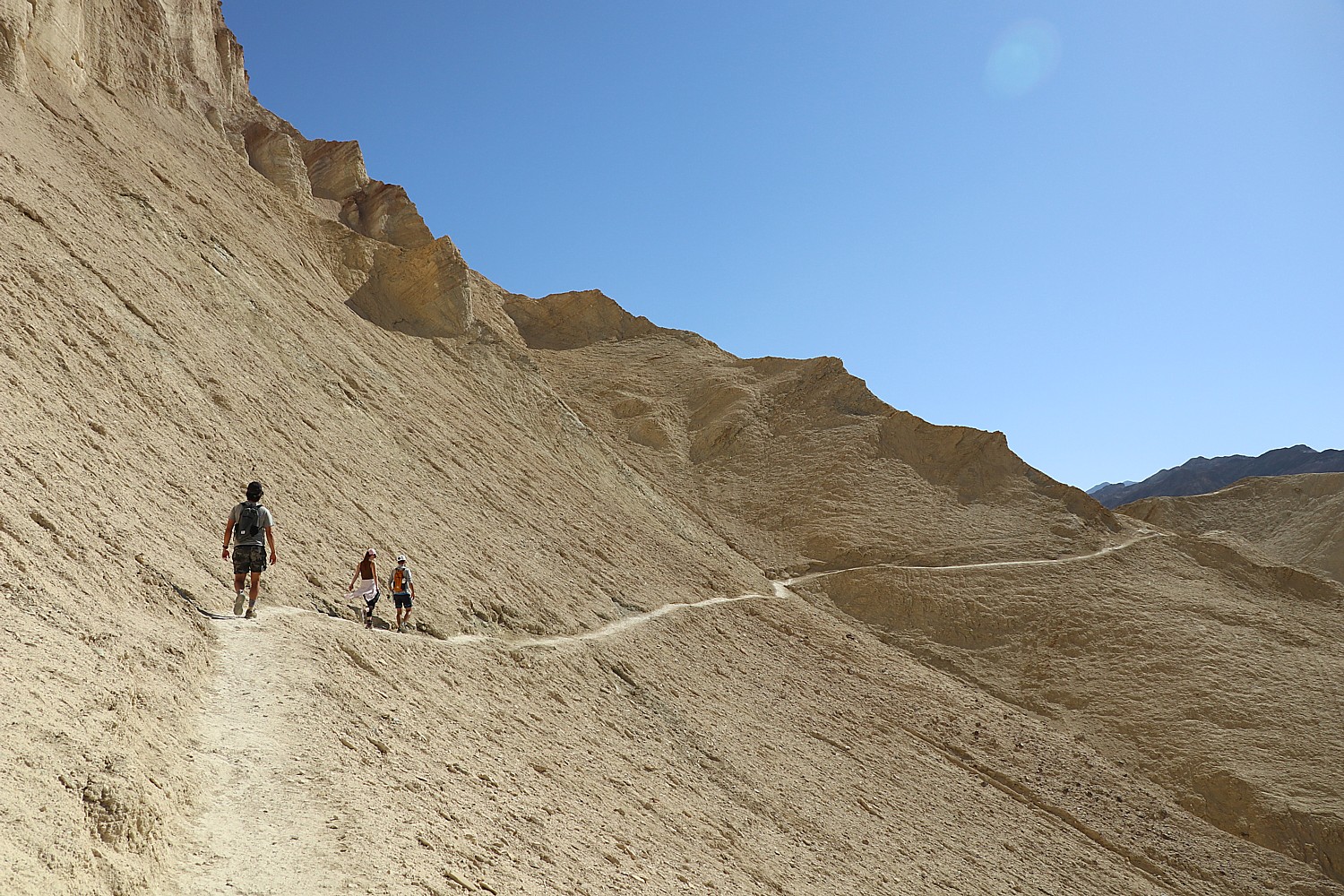
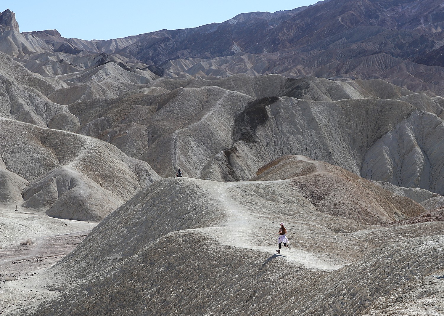
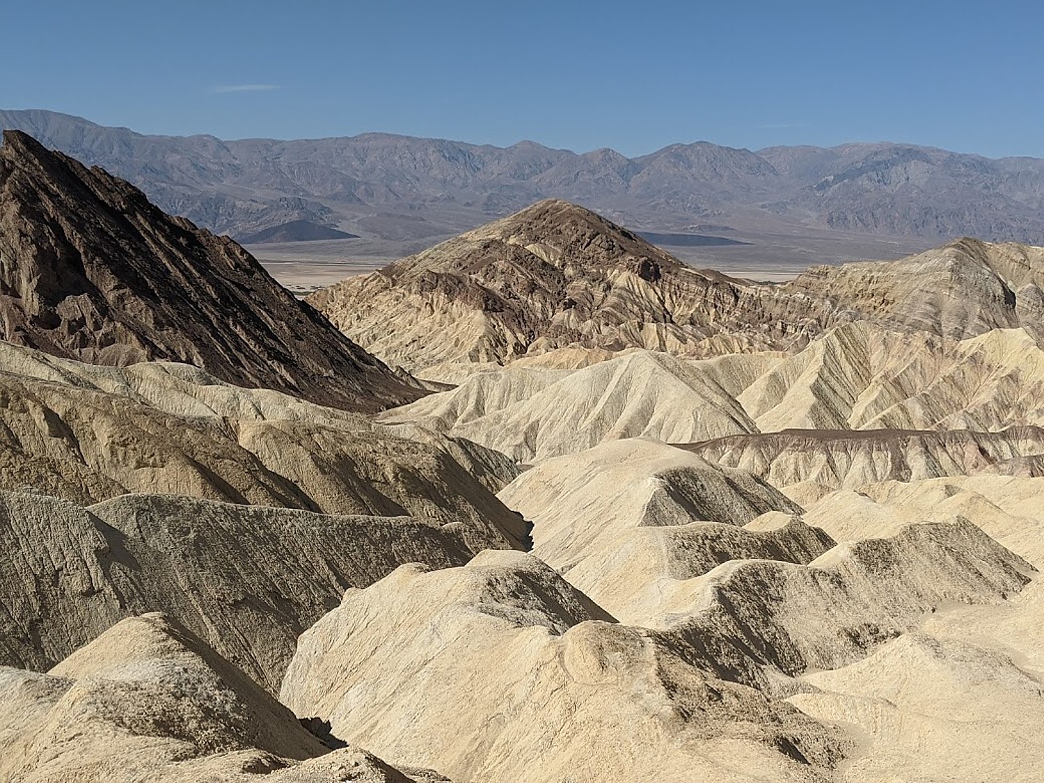
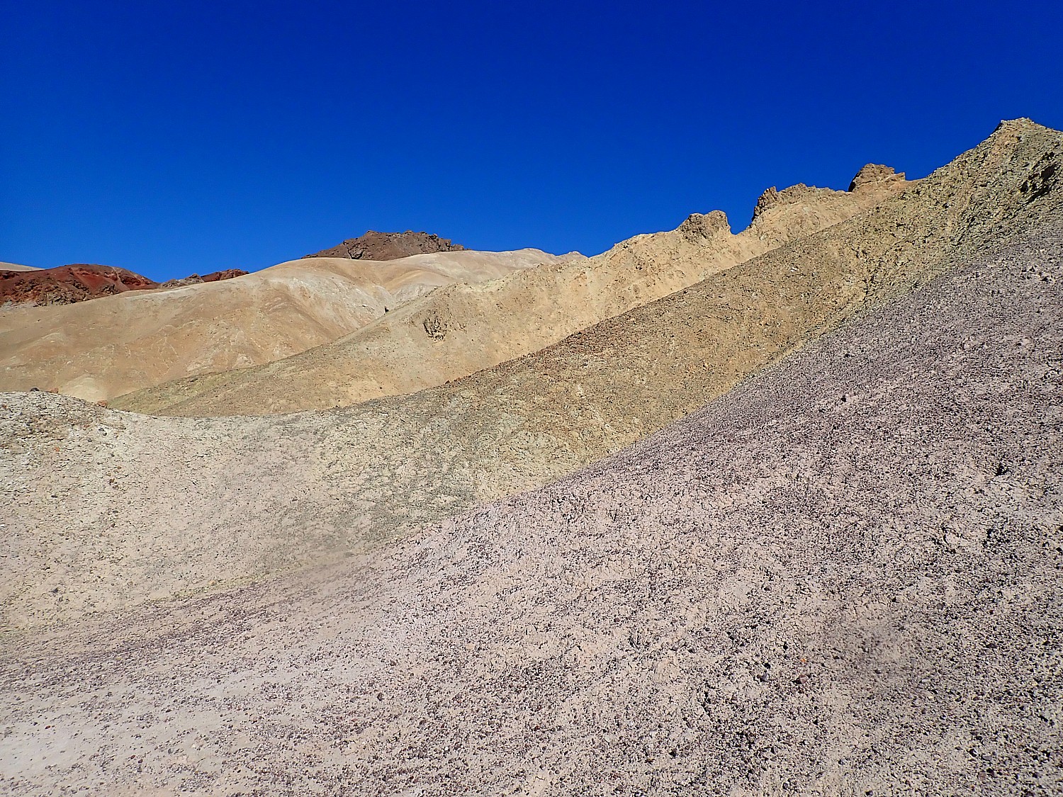
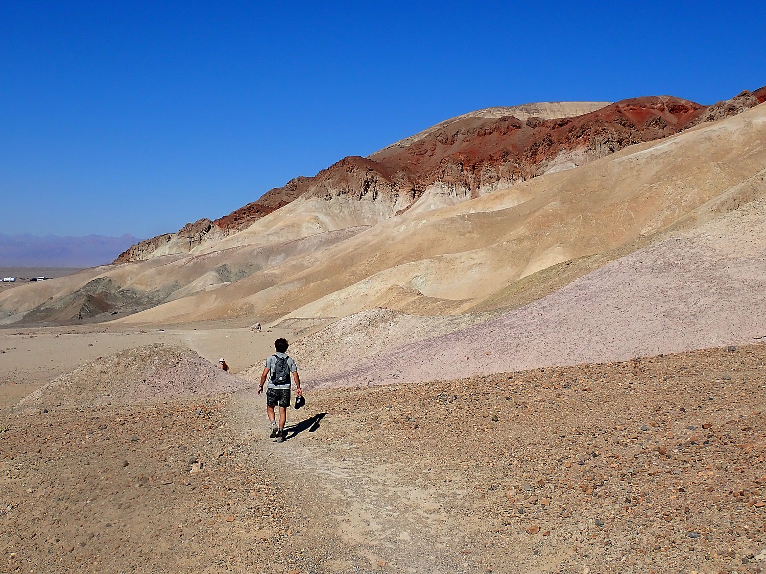
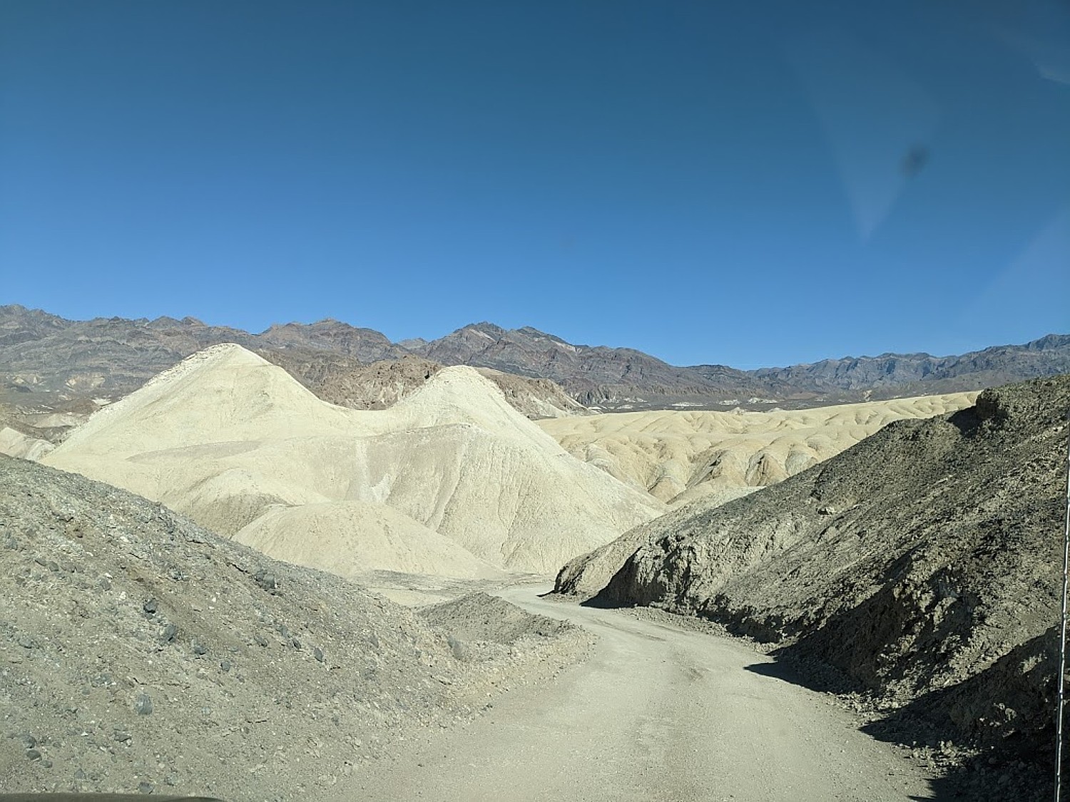
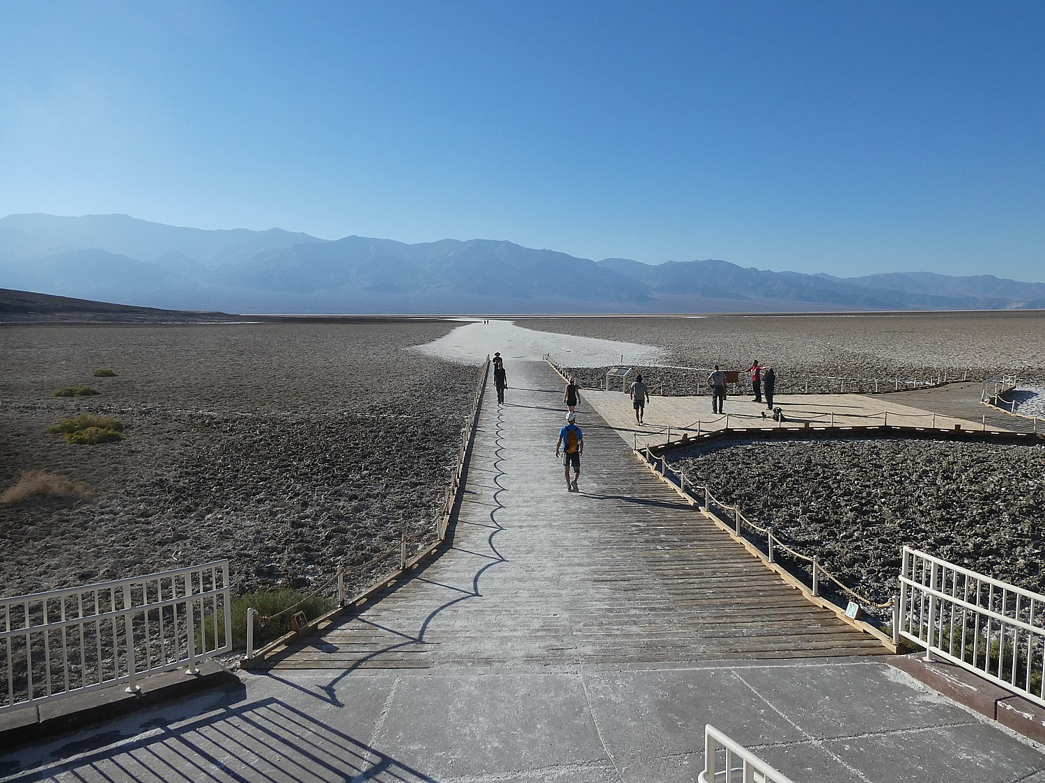
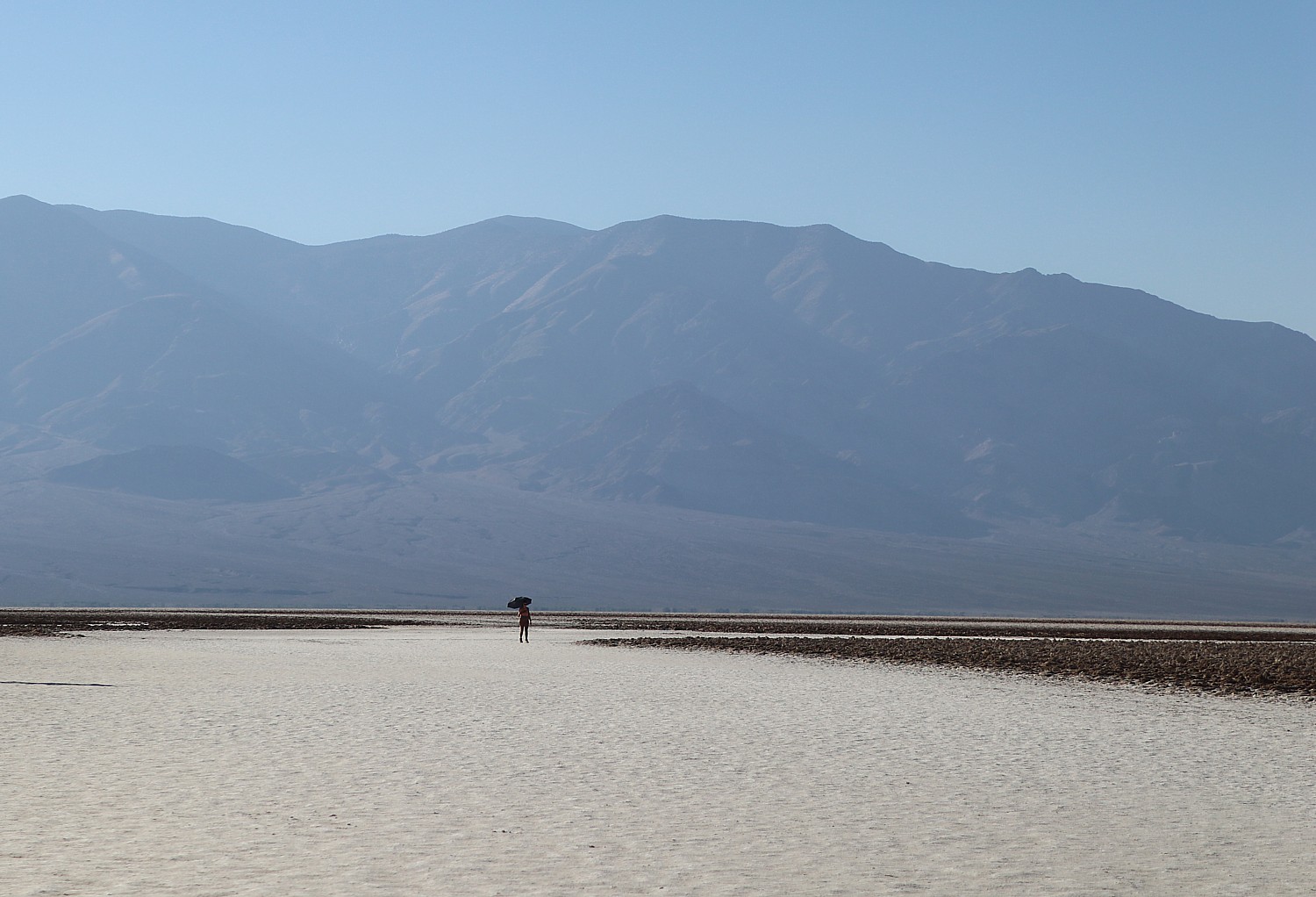
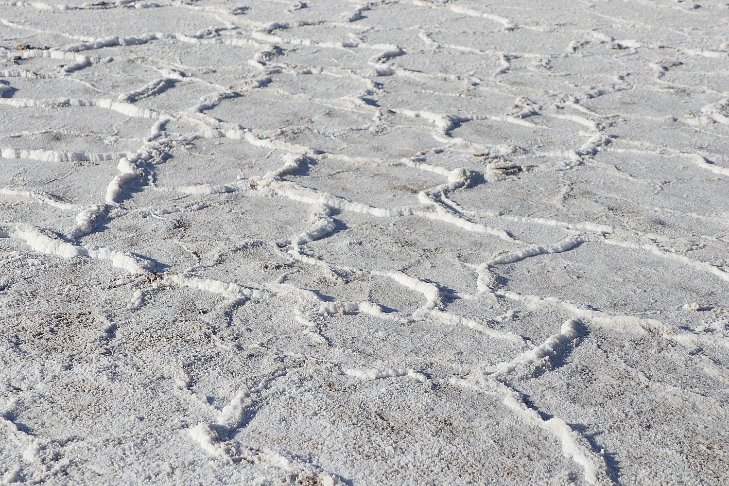
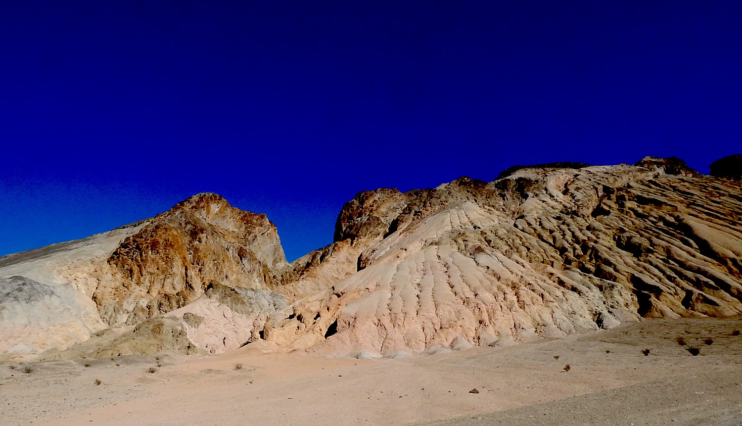
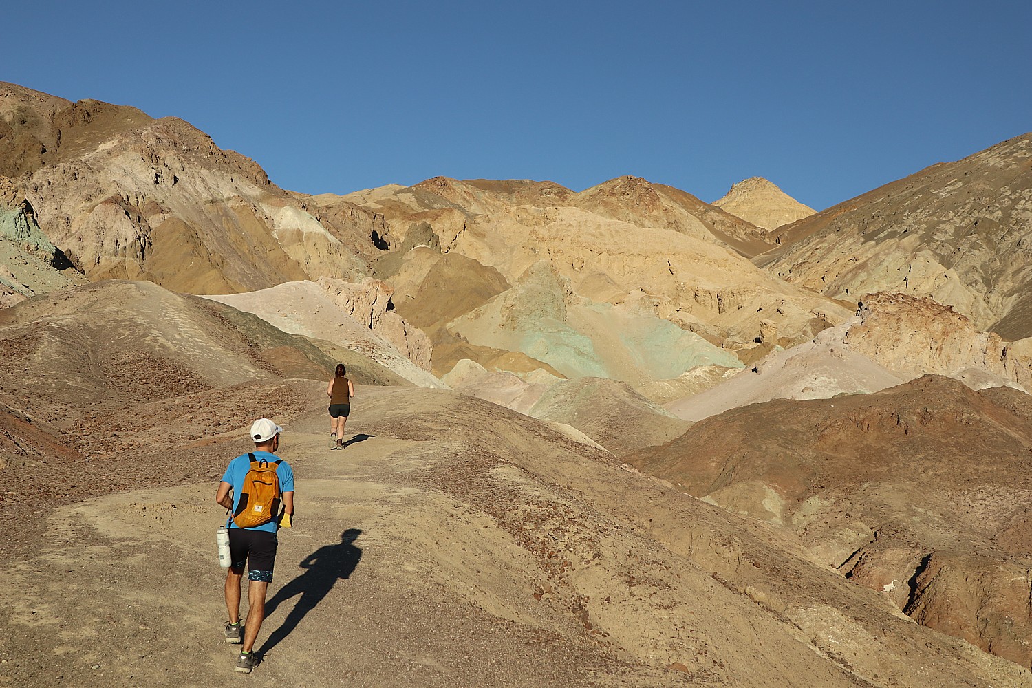
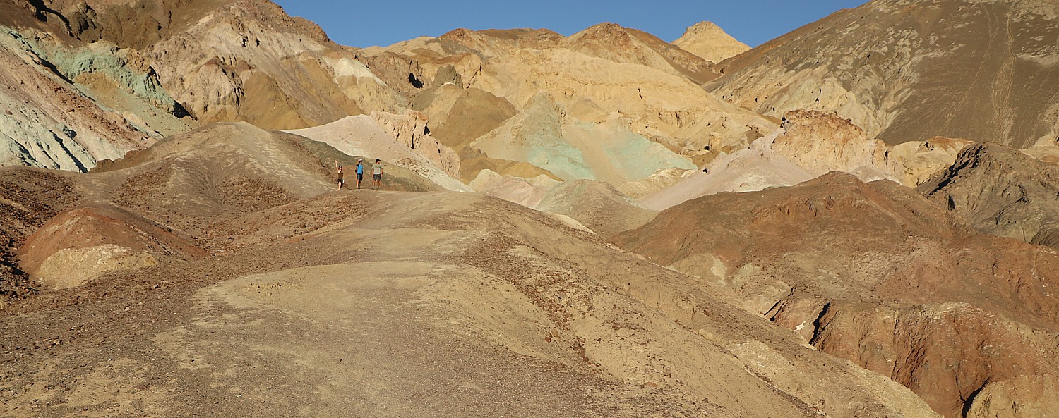
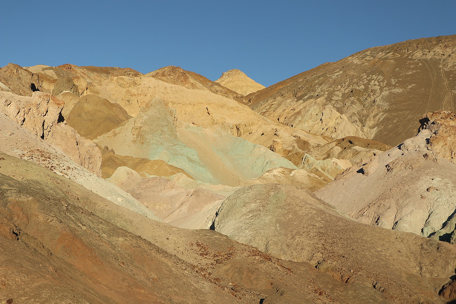
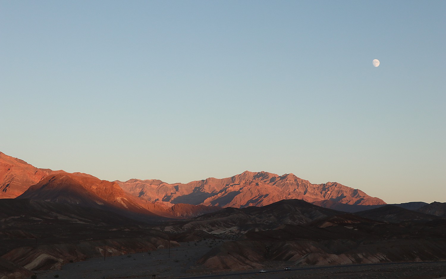
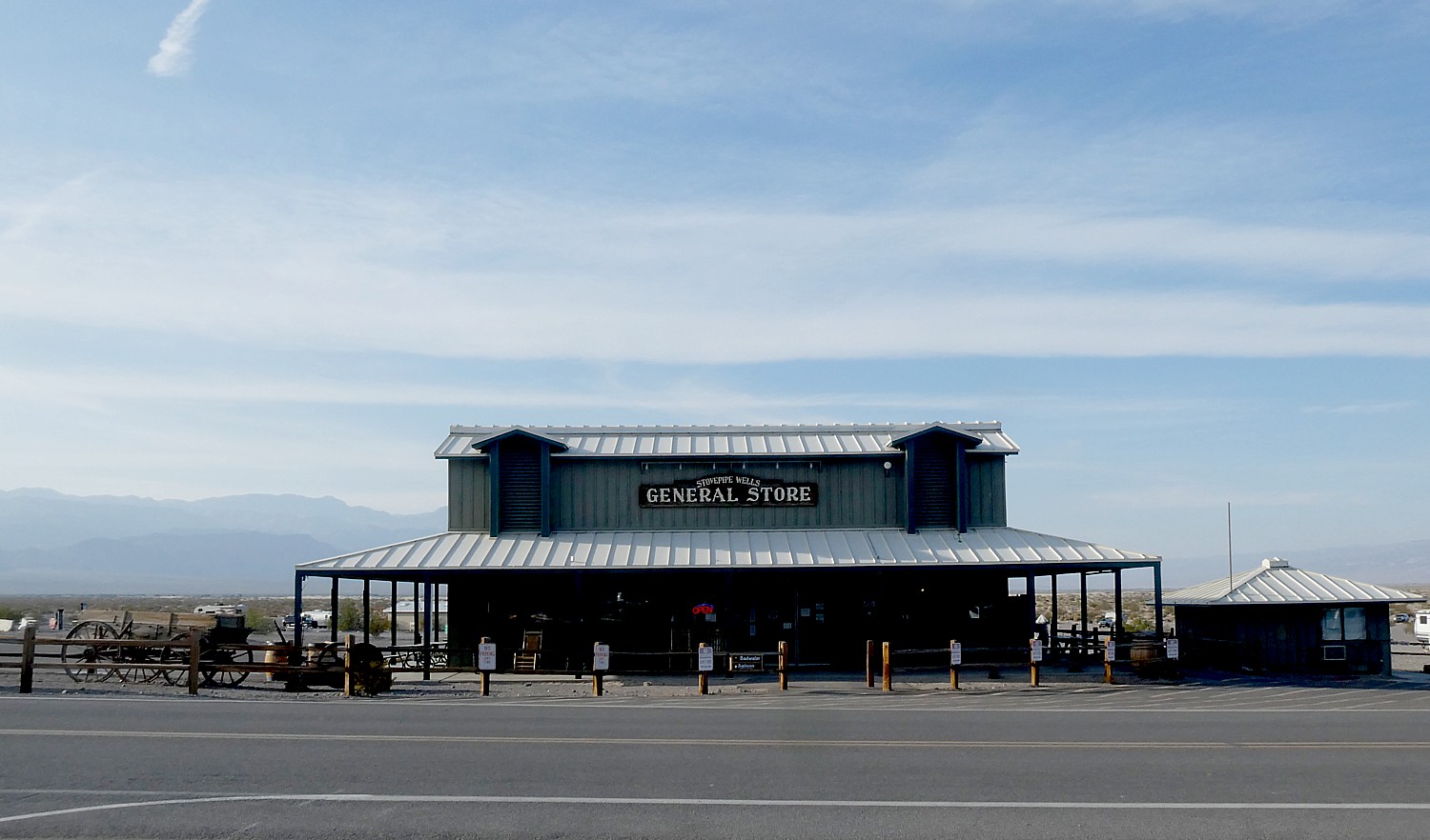
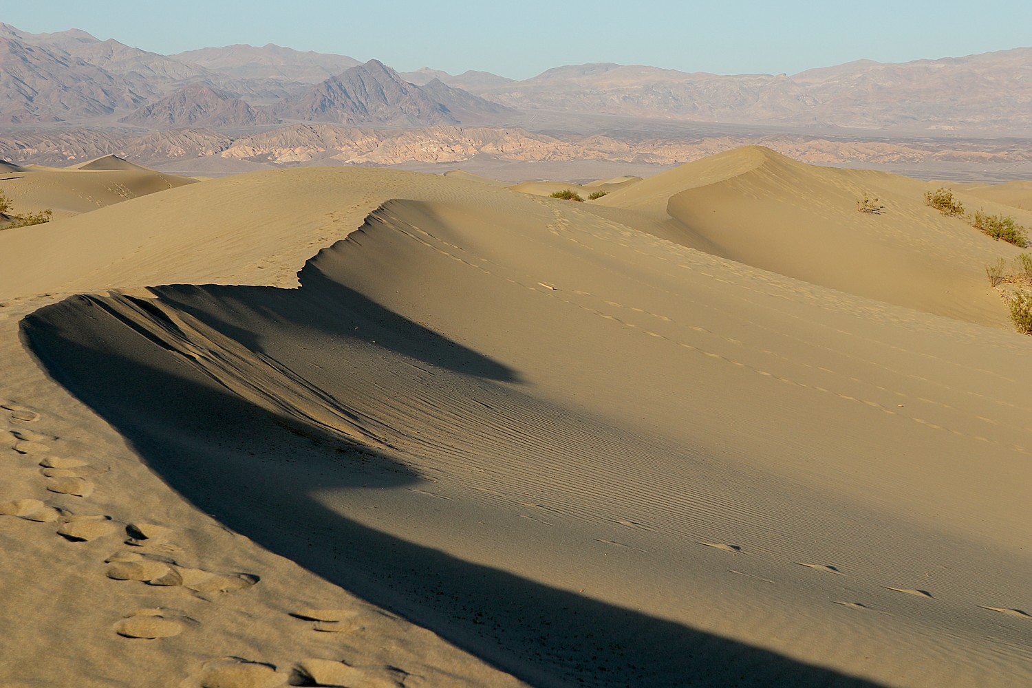
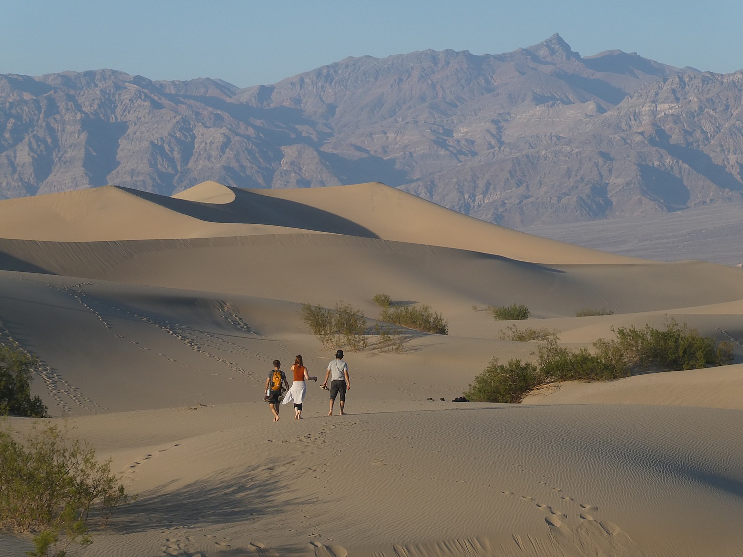
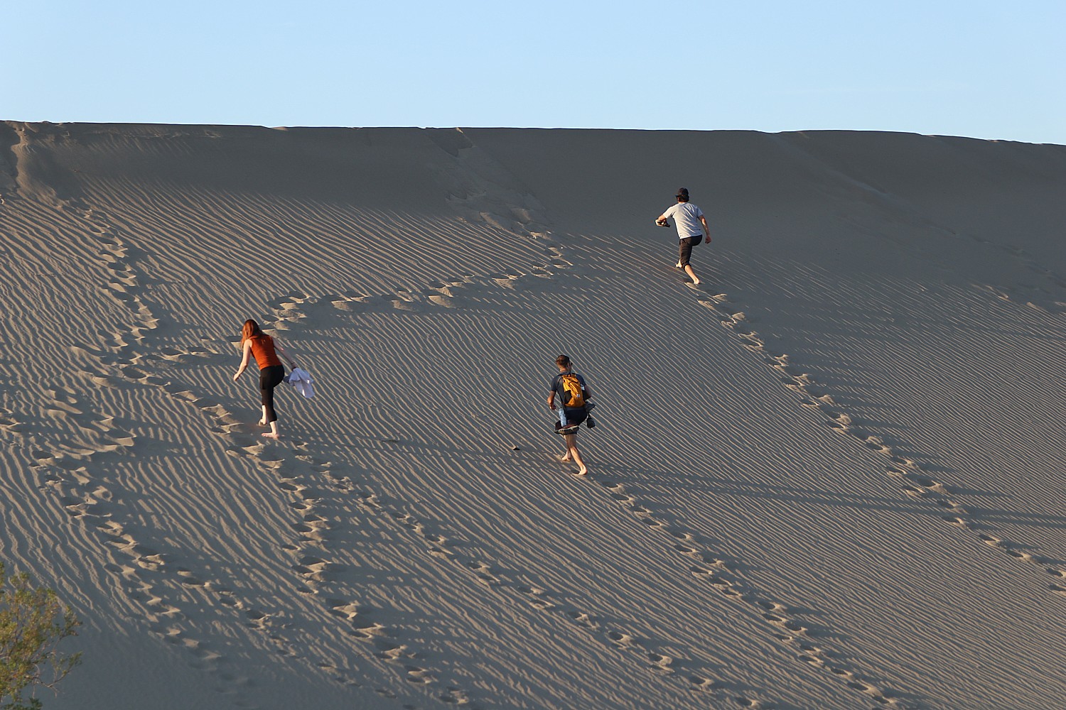
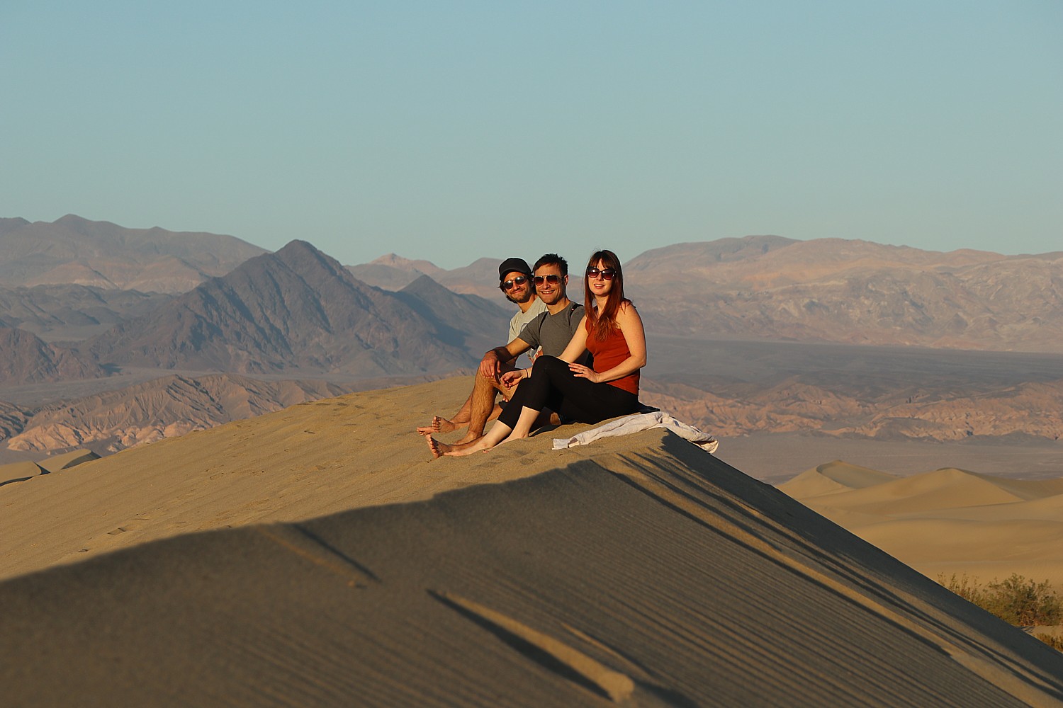
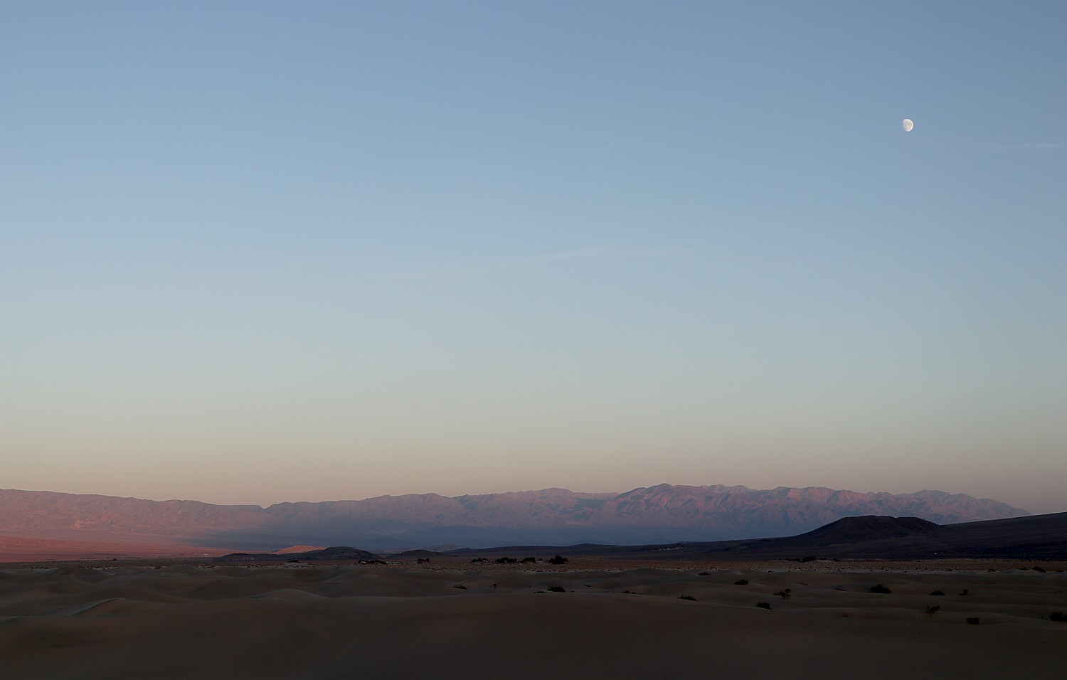
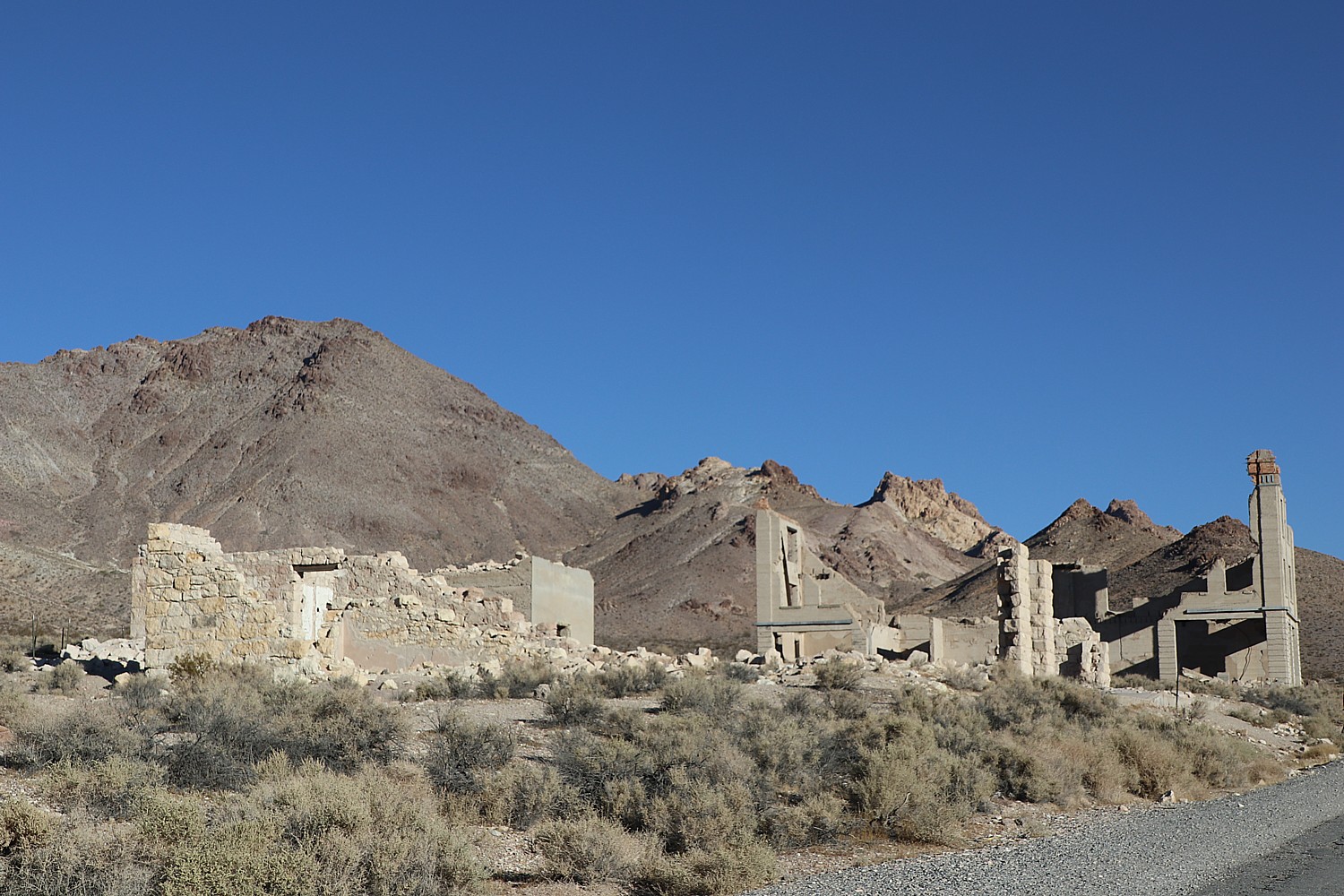
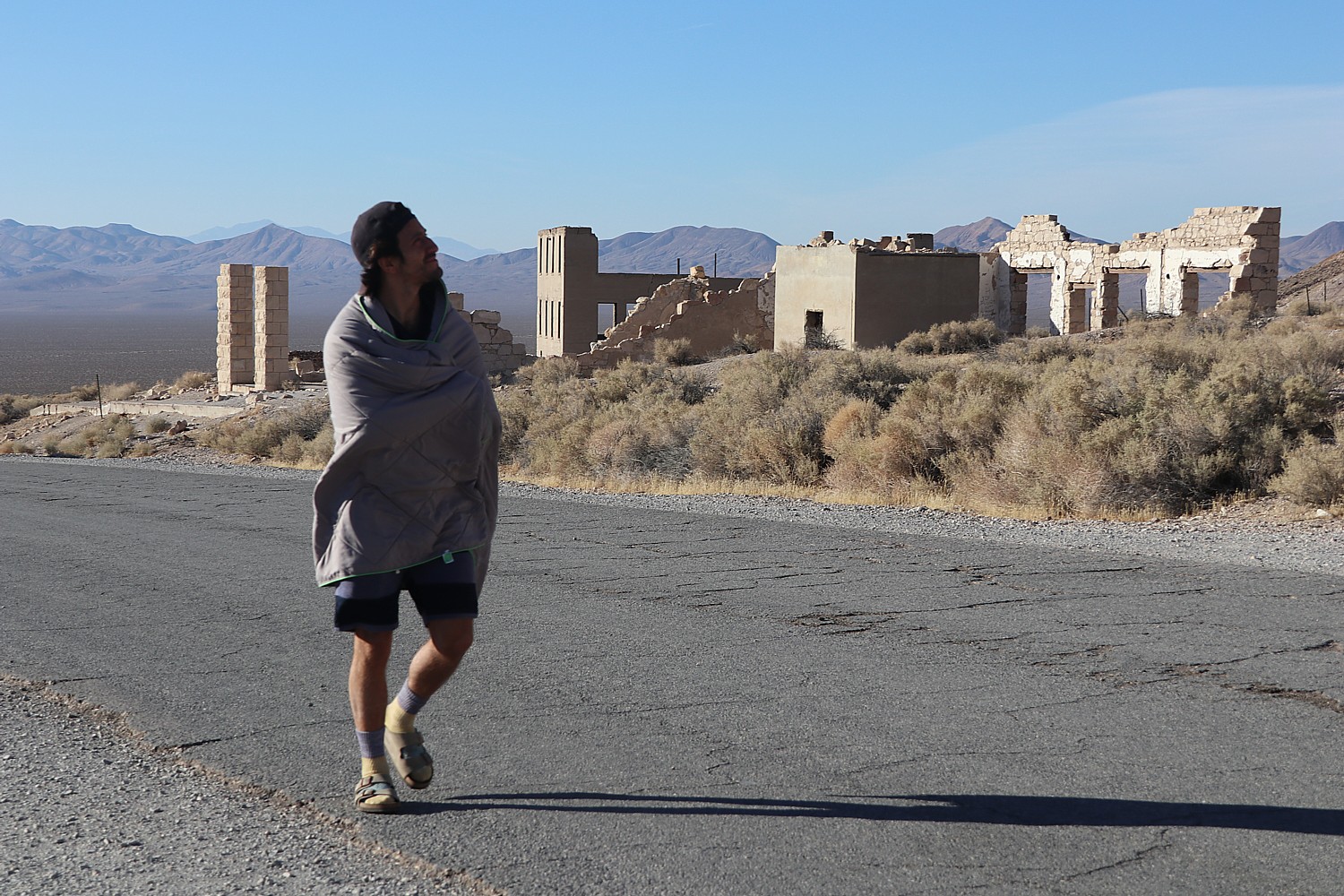
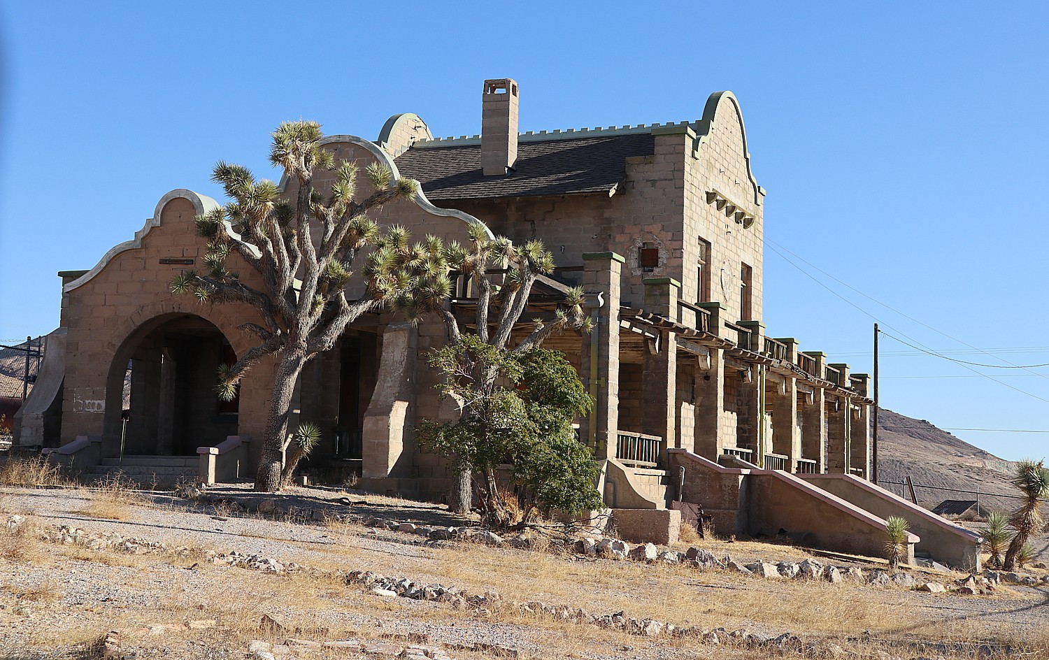
Death Valley National Park (Lake Isabella / Kern River KOA)

Glacier National Park
West Glacier KOA Resort
Whitefish / Kalispell North KOA Holiday
St. Mary / East Glacier KOA Holiday
Zion National Park (St. George / Hurricane KOA Journey)
Rocky Mountain National Park
Estes Park / Rocky Mountain Park KOA Holiday
Grand Lake / Rocky Mountain National Park KOA Journey
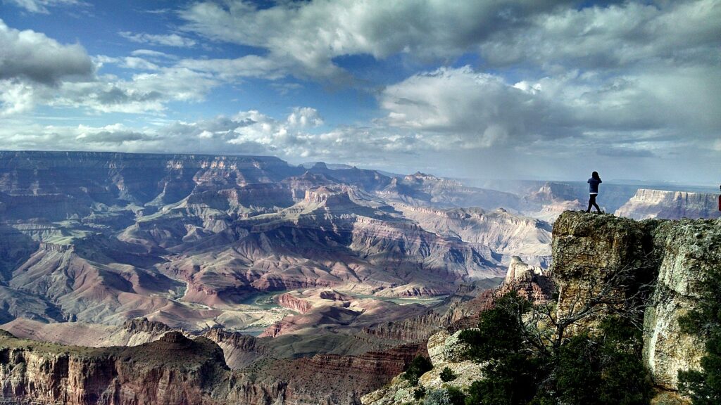
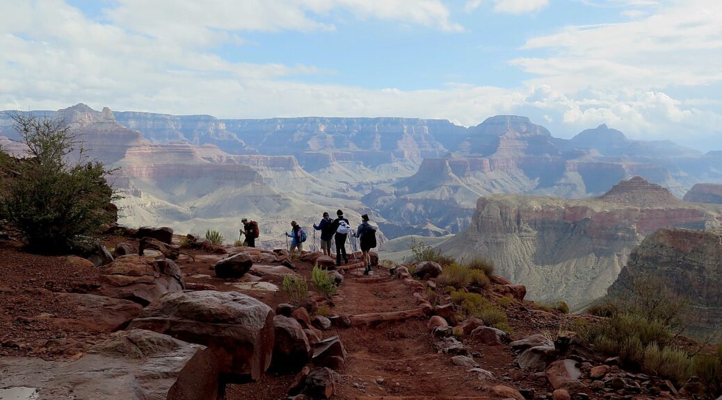
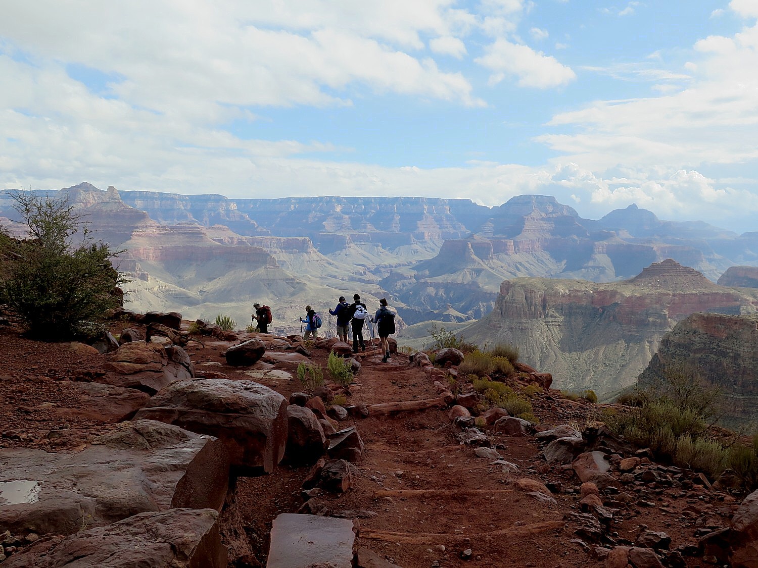
Grand Canyon National Park
Grand Canyon / Williams KOA Journey
Williams / Exit 167 / Circle Pines KOA Holiday
Joshua Tree National Park (Palm Springs / Joshua Tree KOA)
“Camping is a high-value travel experience, offering opportunities to disconnect and spend time with friends and family in nature,” says Kampground of America. “The majority of the campgrounds in our system have cabins onsite that are an easy entry point for travelers seeking to benefit from time spent outdoors while enjoying creature comforts. We know that most campers are travelling less than 200 miles to go camping, it is a high-value way to explore the national parks and local communities nearby and certainly lower expense than other forms of travel.
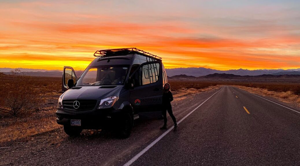
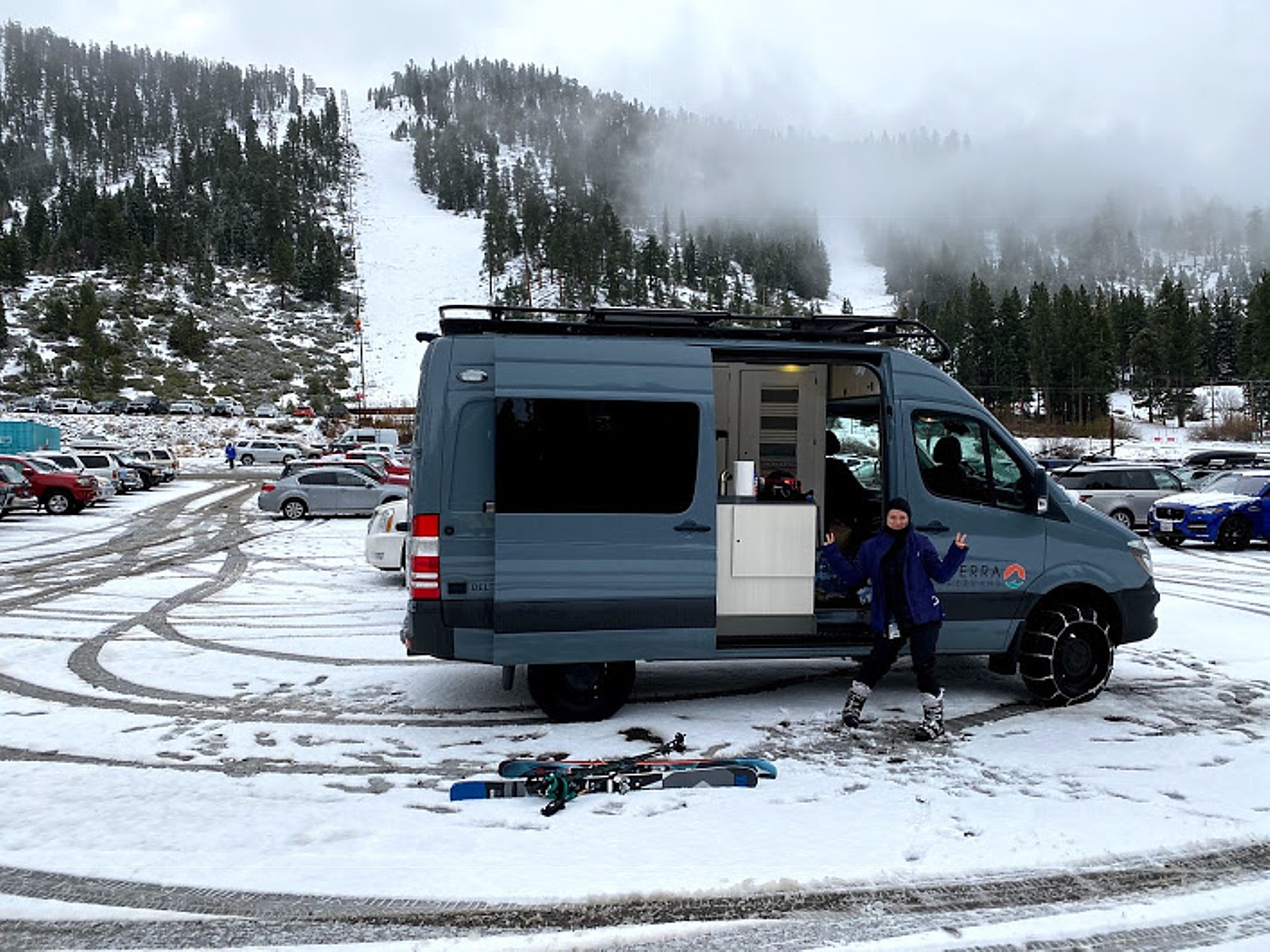
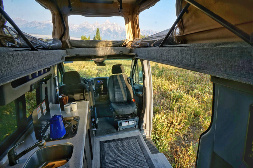
“Campers looking for an RV experience without the commitment of purchasing one can test it out (or even just embark on an epic adventure) through a peer-to-peer rental company like RVshare, RVezy or Outdoorsy among others. I believe that RVshare is offering a service in which campers can opt to have their RV set up on a campground for them to use, without worrying about setting it up themselves.”
Use the Find a KOA locator (https://koa.com/find-a-koa/). The koa.com website also has really helpful articles.
Camping Season Underway in New York State
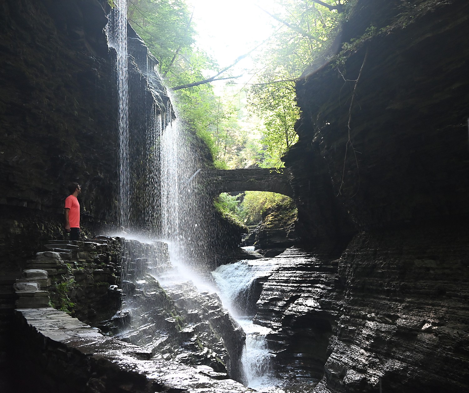
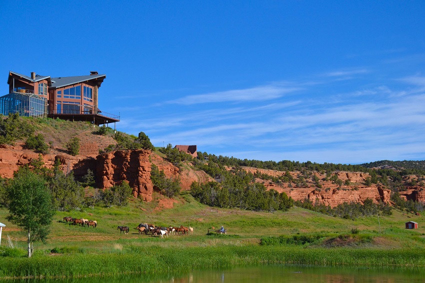
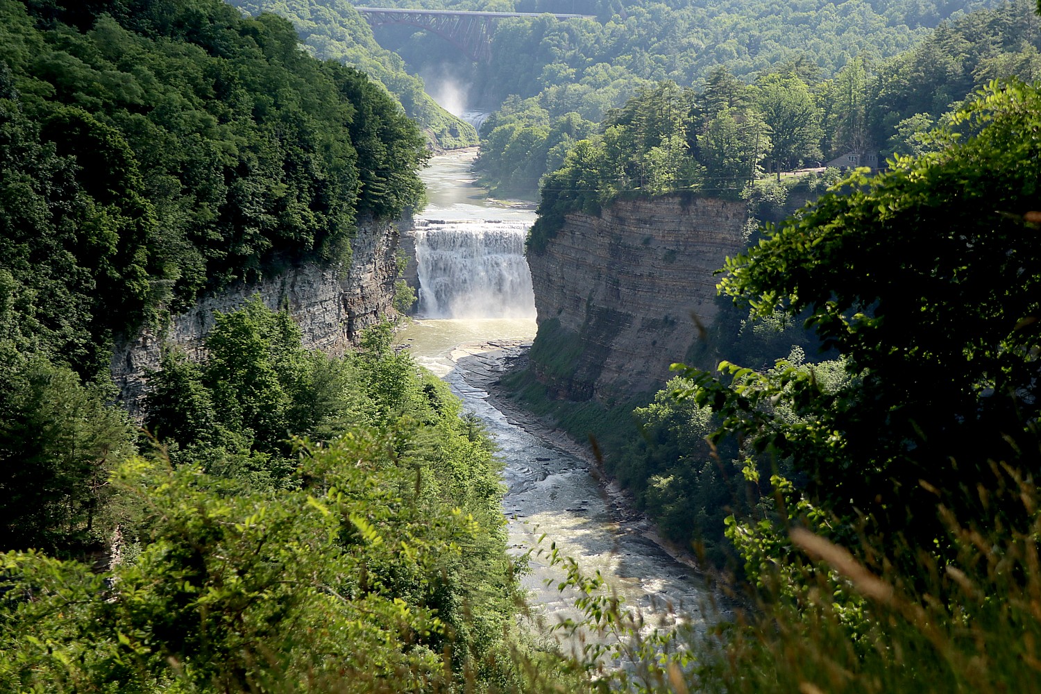
New York State offers some of the most exciting camping experiences in the country – from the star-studded nights of the Adirondacks and the Catskills to the tranquil sunrise vistas along the shores of the St. Lawrence River. Its state parks like Watkins Glen (where, besides the spectacular scenery of the gorge there is also the tradition of auto racing), and Letchworth State Park (considered the Grand Canyon of the East), you have a variety from parking your RV, or renting a cozy cabin or cottage, to pitching a tent beneath the celestial canopy.
Discover private campgrounds, many of which can be conveniently booked through CampNewYork.com or explore the public campgrounds managed by the New York State Office of Parks, Recreation and Historic Preservation and the Department of Environmental Conservation. (Book NYS Park campsites at https://newyorkstateparks.reserveamerica.com/)
See also:
DRIVEABLE ADVENTURES: HIKING/CAMPING IN THE ‘GRAND CANYON OF THE EAST’ – NY’S LETCHWORTH STATE PARK
NEW YORK’S WATKINS GLEN STATE PARK IS SPELLBINDING
Yosemite National Park: Best Valley Hikes for First Timers
Yosemite National Park: Surprising Diversity, Dramatic Scenes Hiking Chilnualna Falls Trail, Wawona
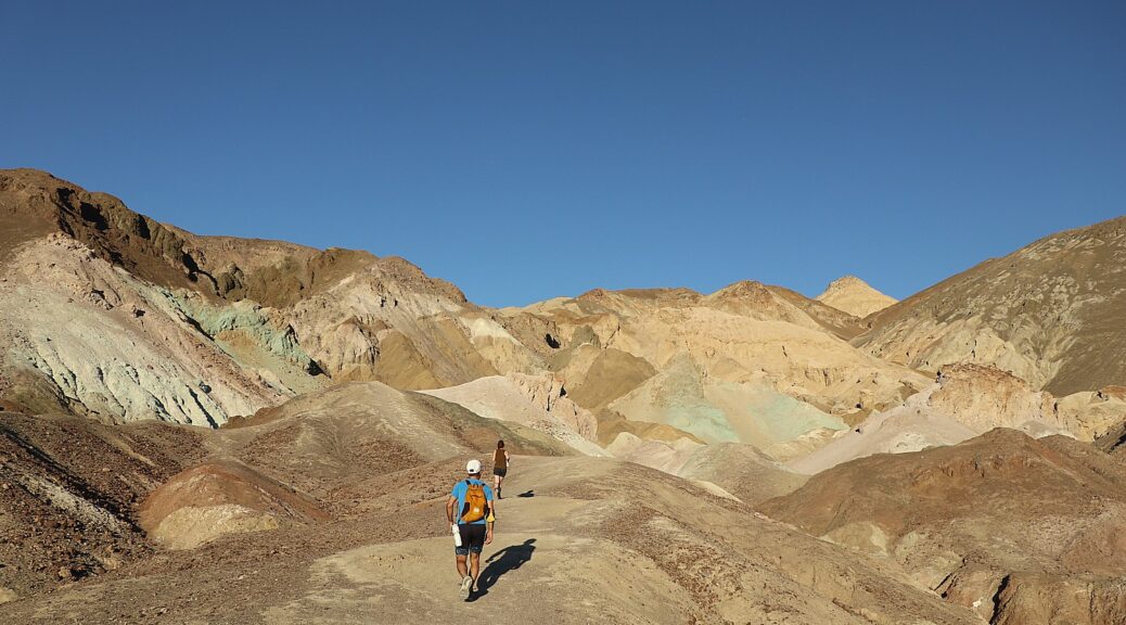
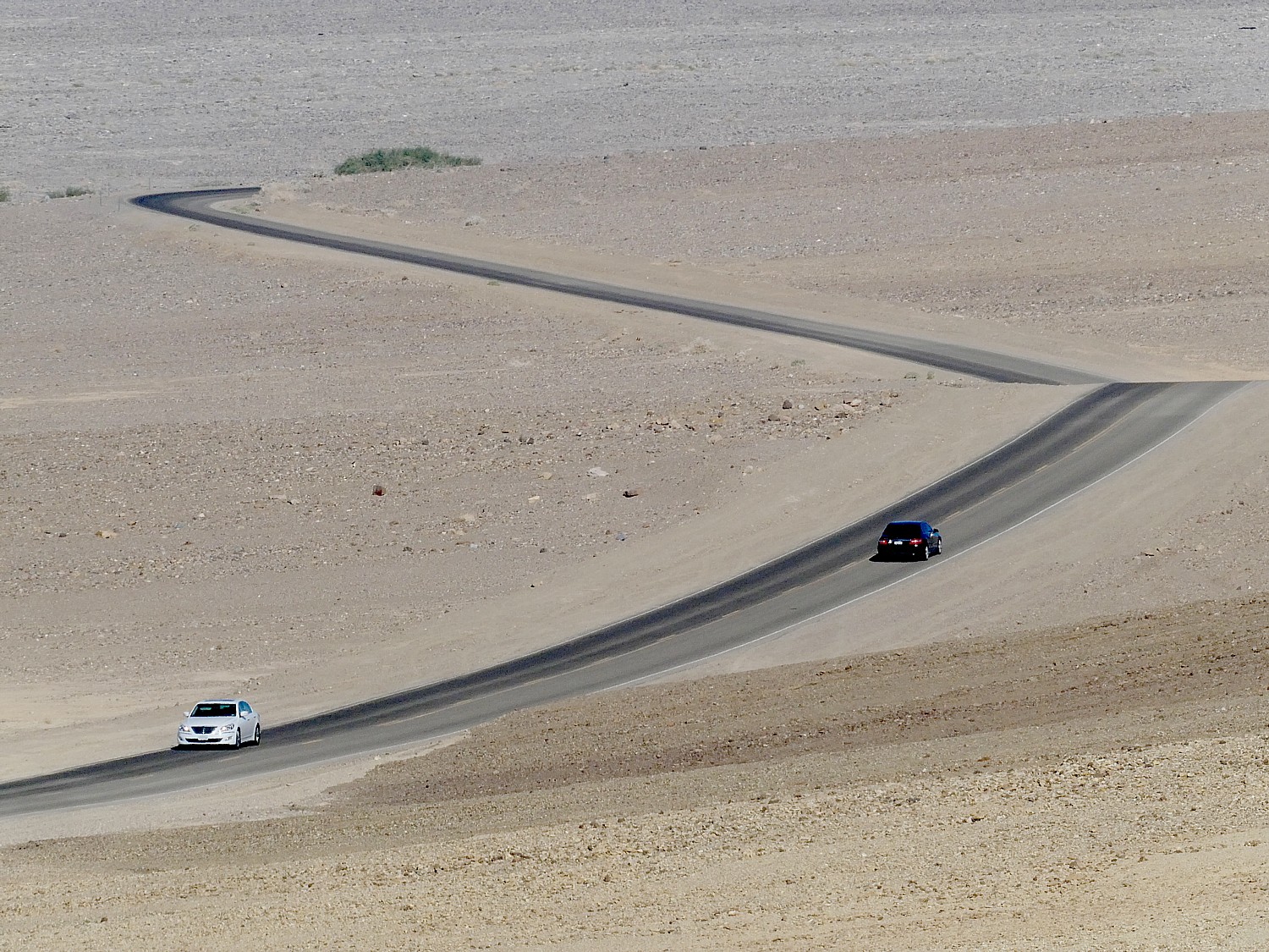
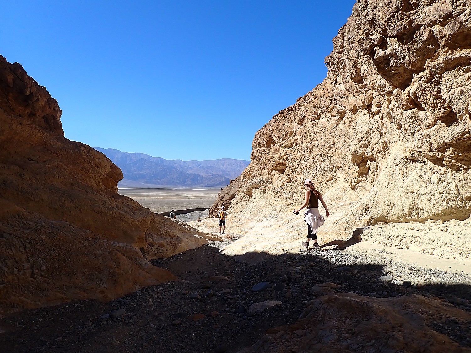
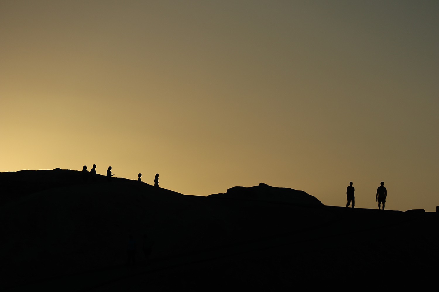
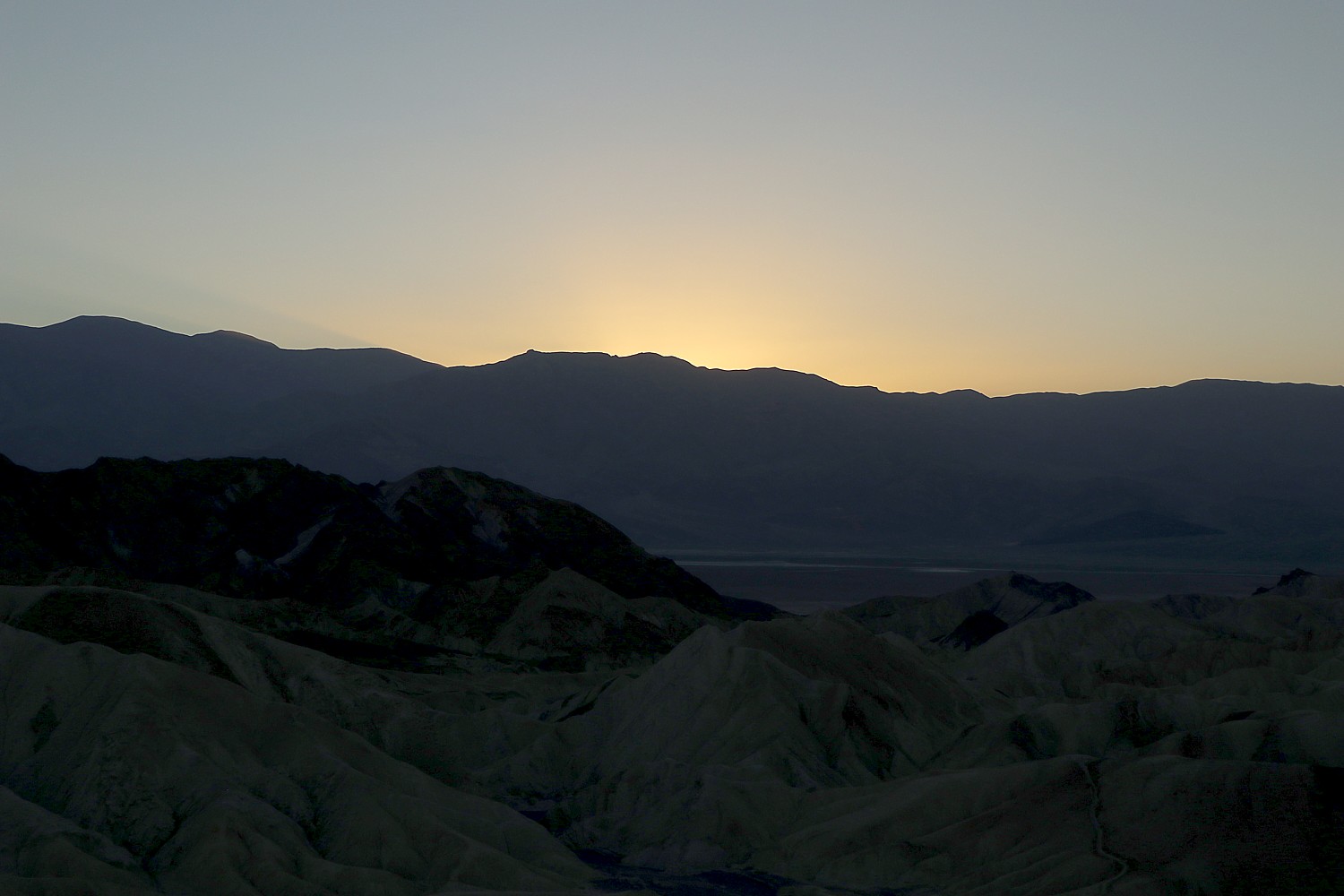
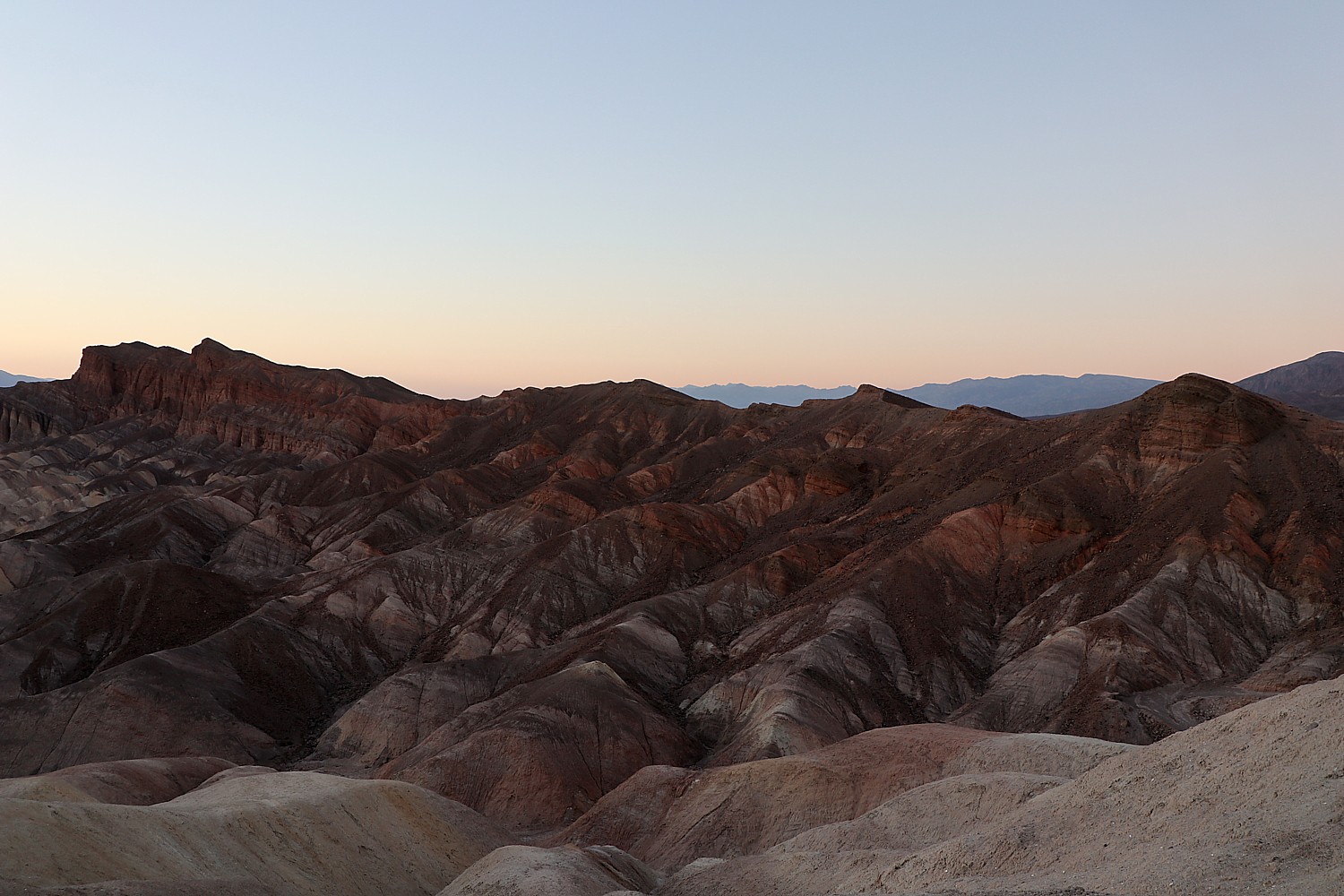
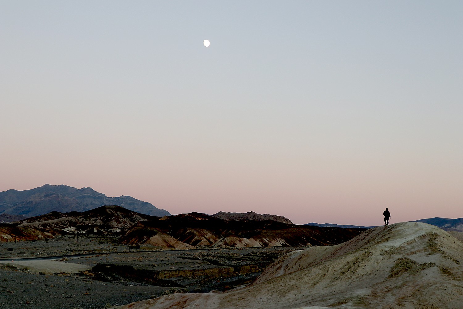
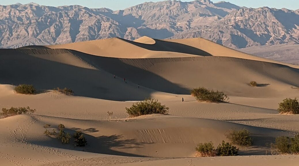
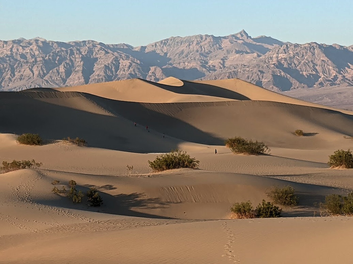
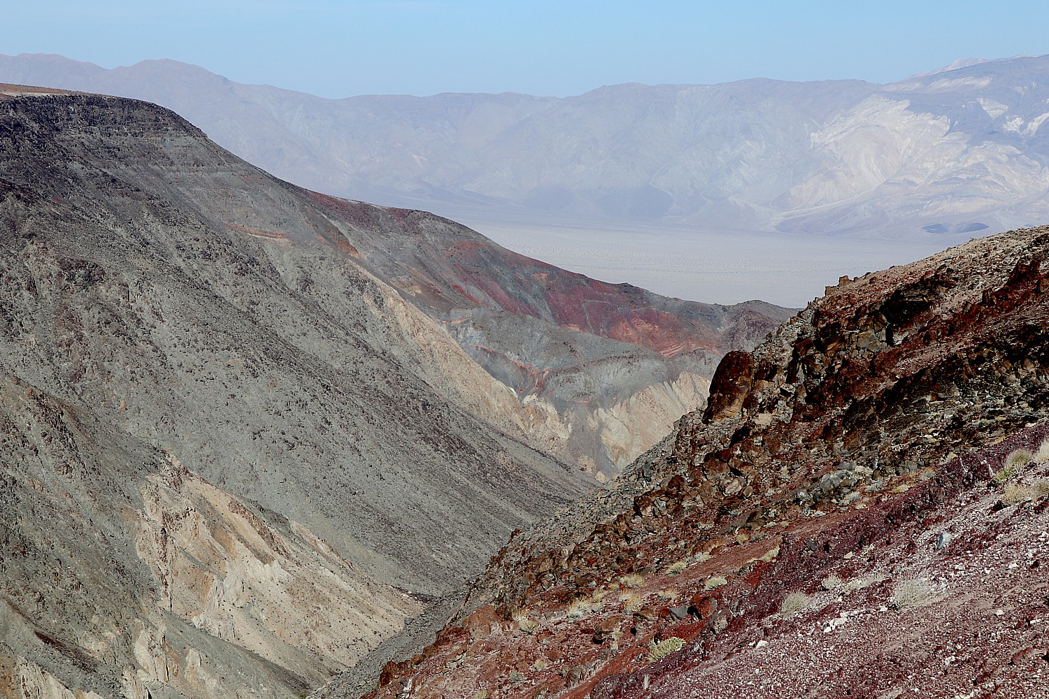
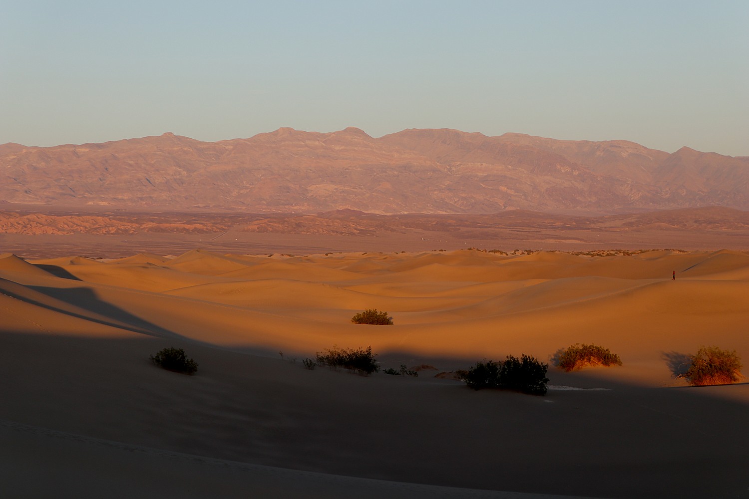
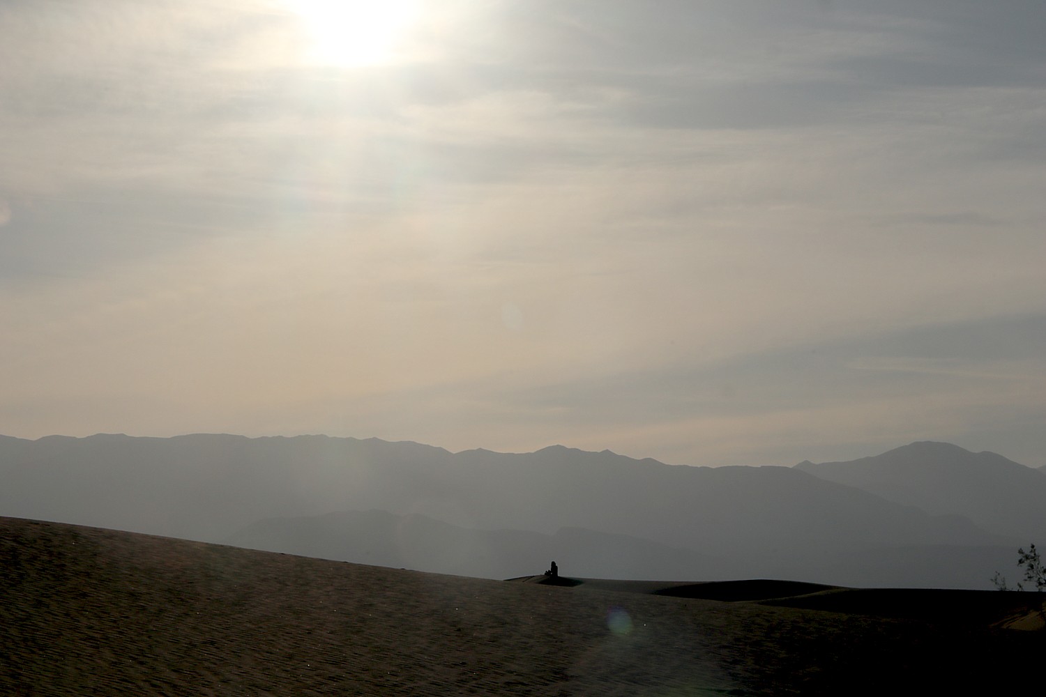
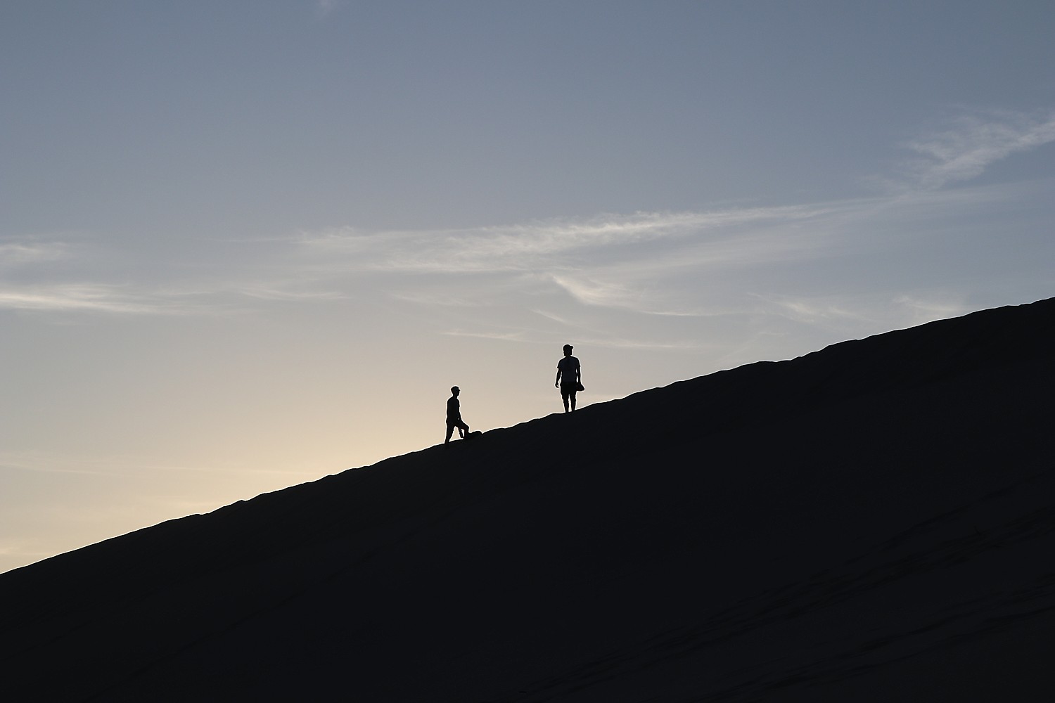
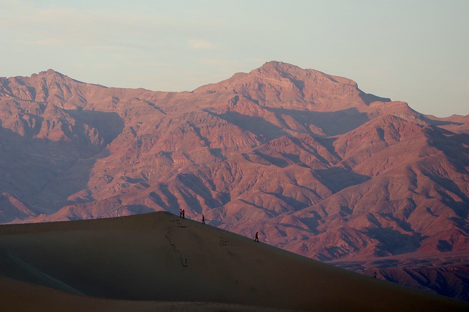
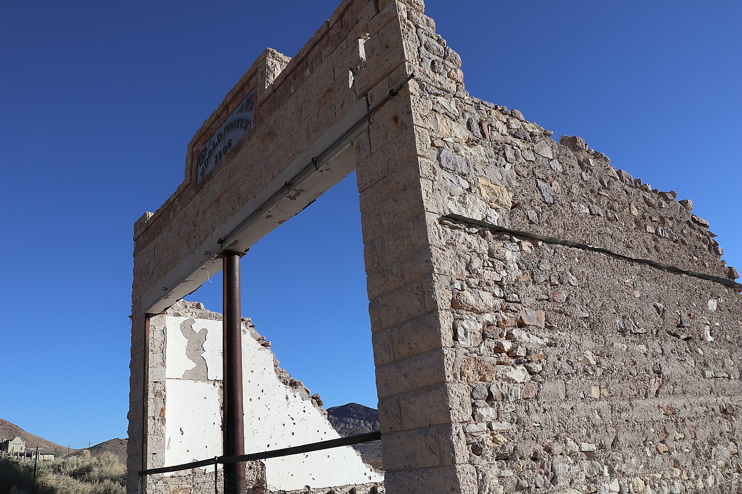
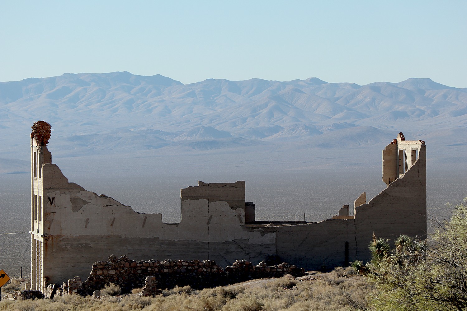
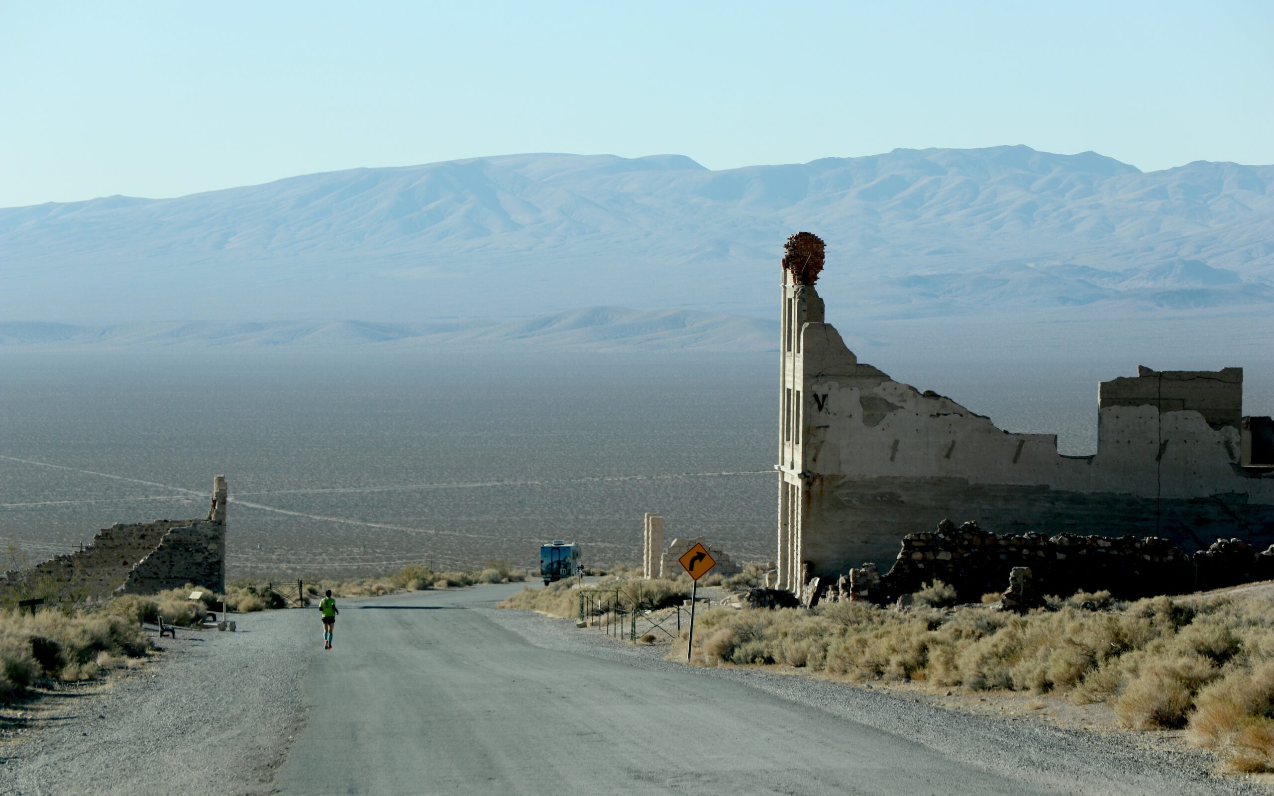
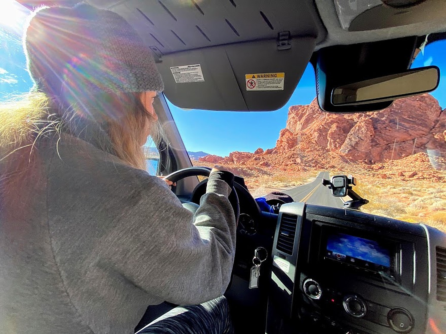
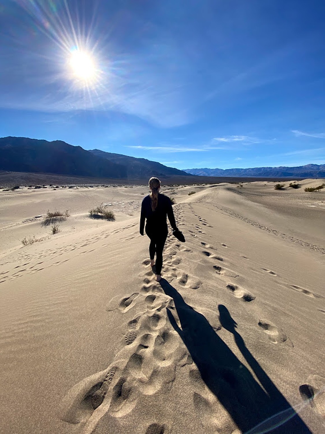
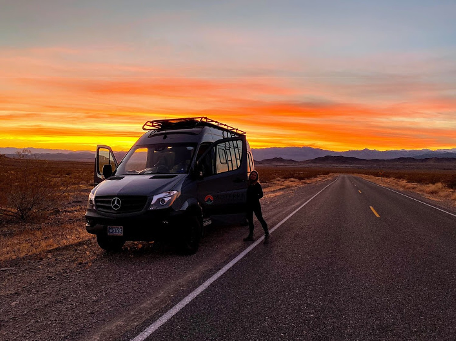
ROAD TRIP: DISCOVERING DEATH VALLEY’S TREASURES, RICHER THAN GOLD
ROAD TRIP: HITTING THE HIGHLIGHTS OF DEATH VALLEY NATIONAL PARK
ROAD TRIP: SUNRISE, SUNSET IN DEATH VALLEY NATIONAL PARK, NATURE’S GEOLOGIC ART GALLERY
YELLOWSTONE NATIONAL PARK IN TWO DAYS: DAY 1: ‘RANDOM BOILING EARTH’
YELLOWSTONE NATIONAL PARK IN TWO DAYS: MOTHER NATURE GETS SURREAL
GRAND TETON NATIONAL PARK: MOTHER NATURE IN HER PUREST FORM
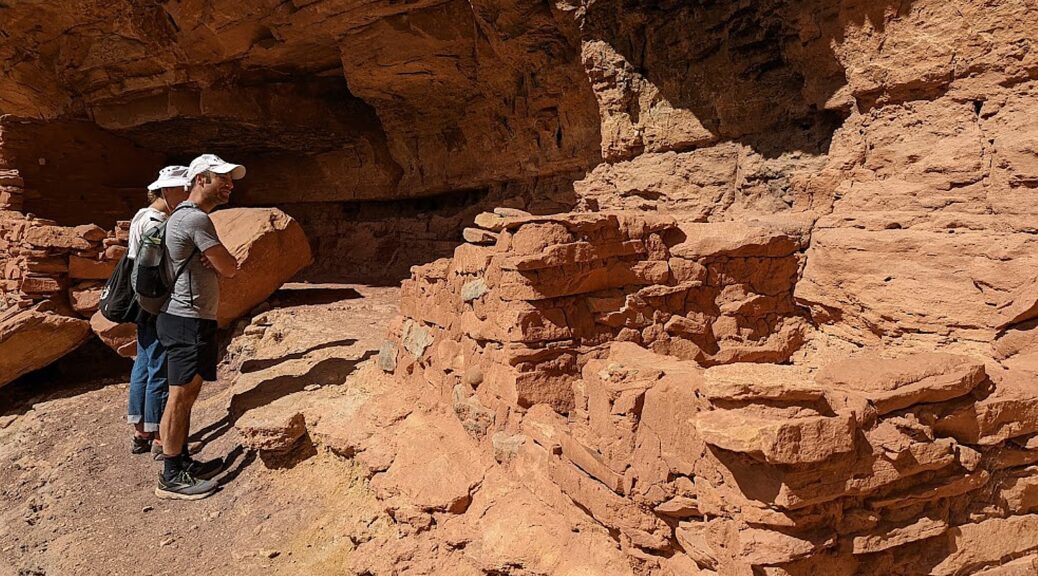
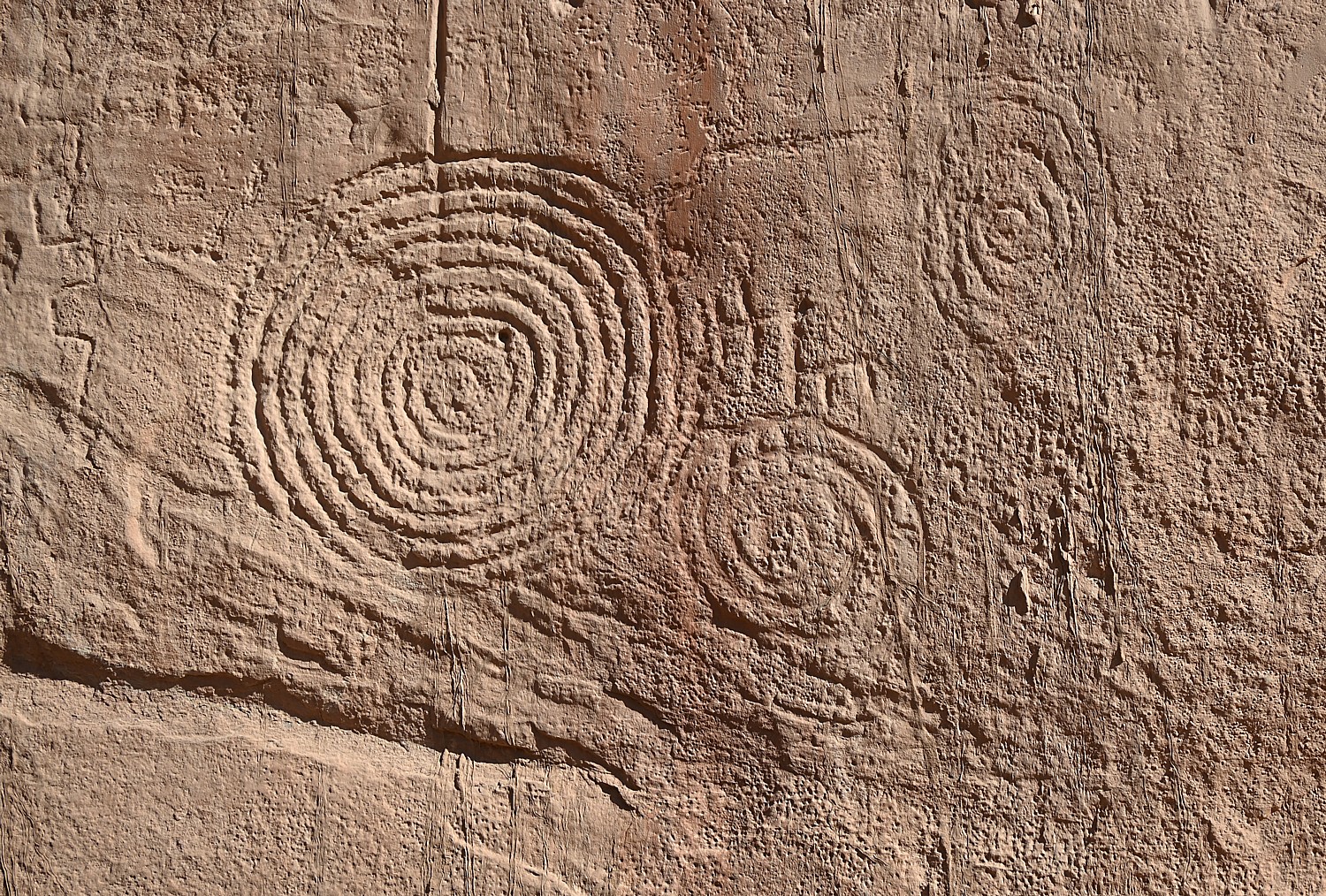
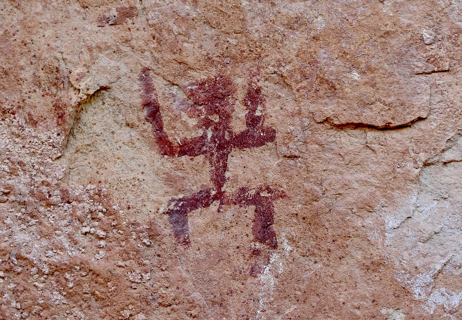
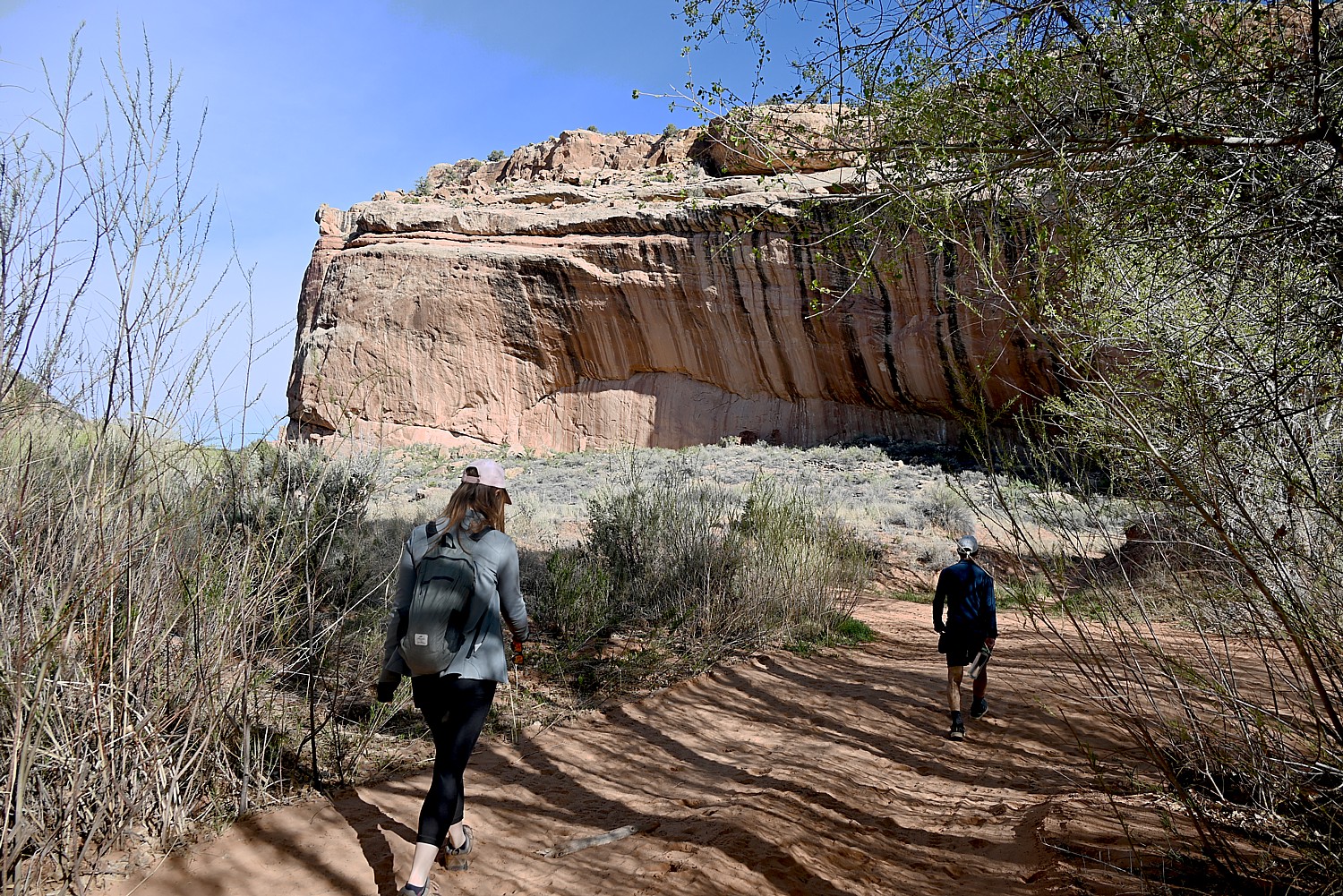
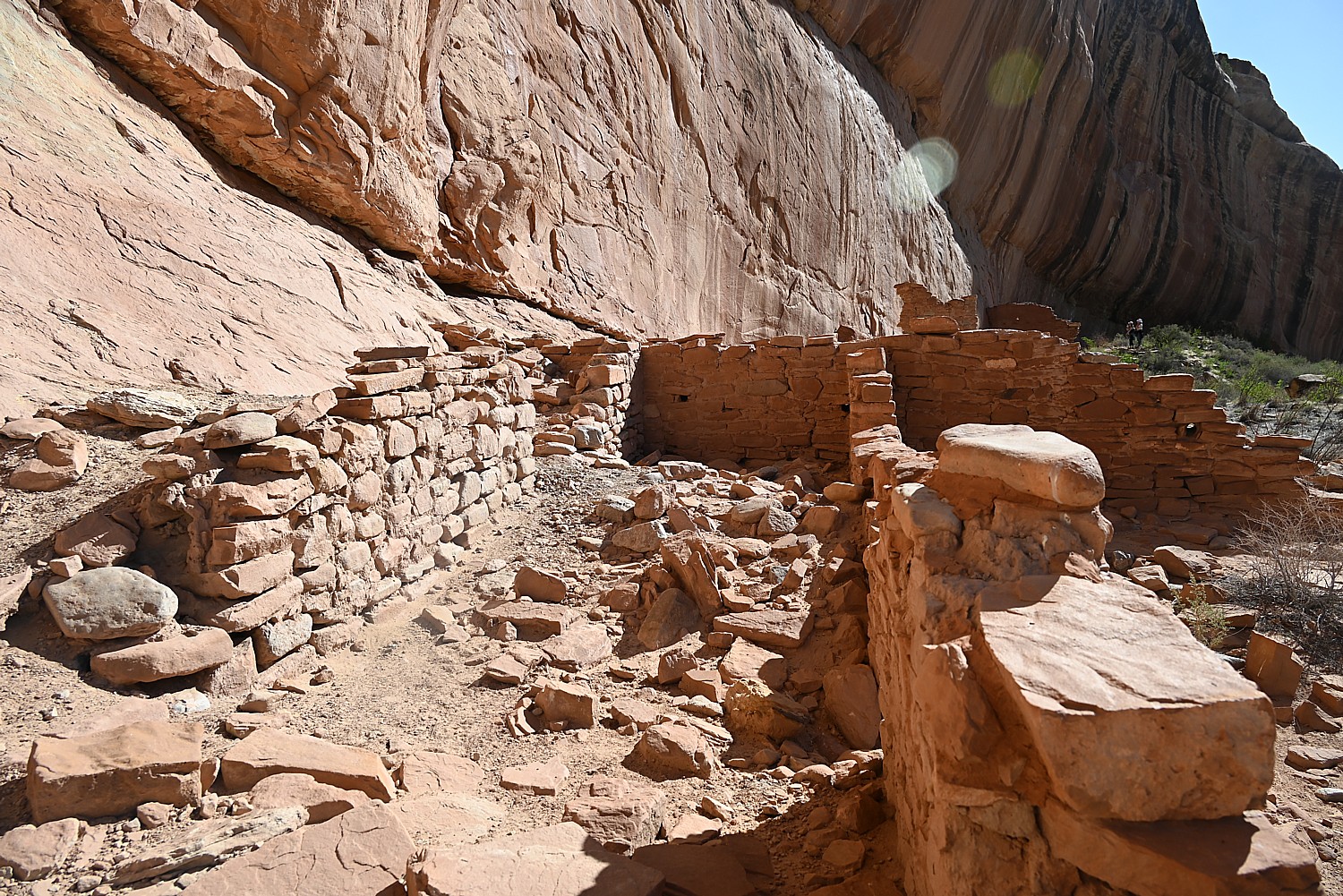
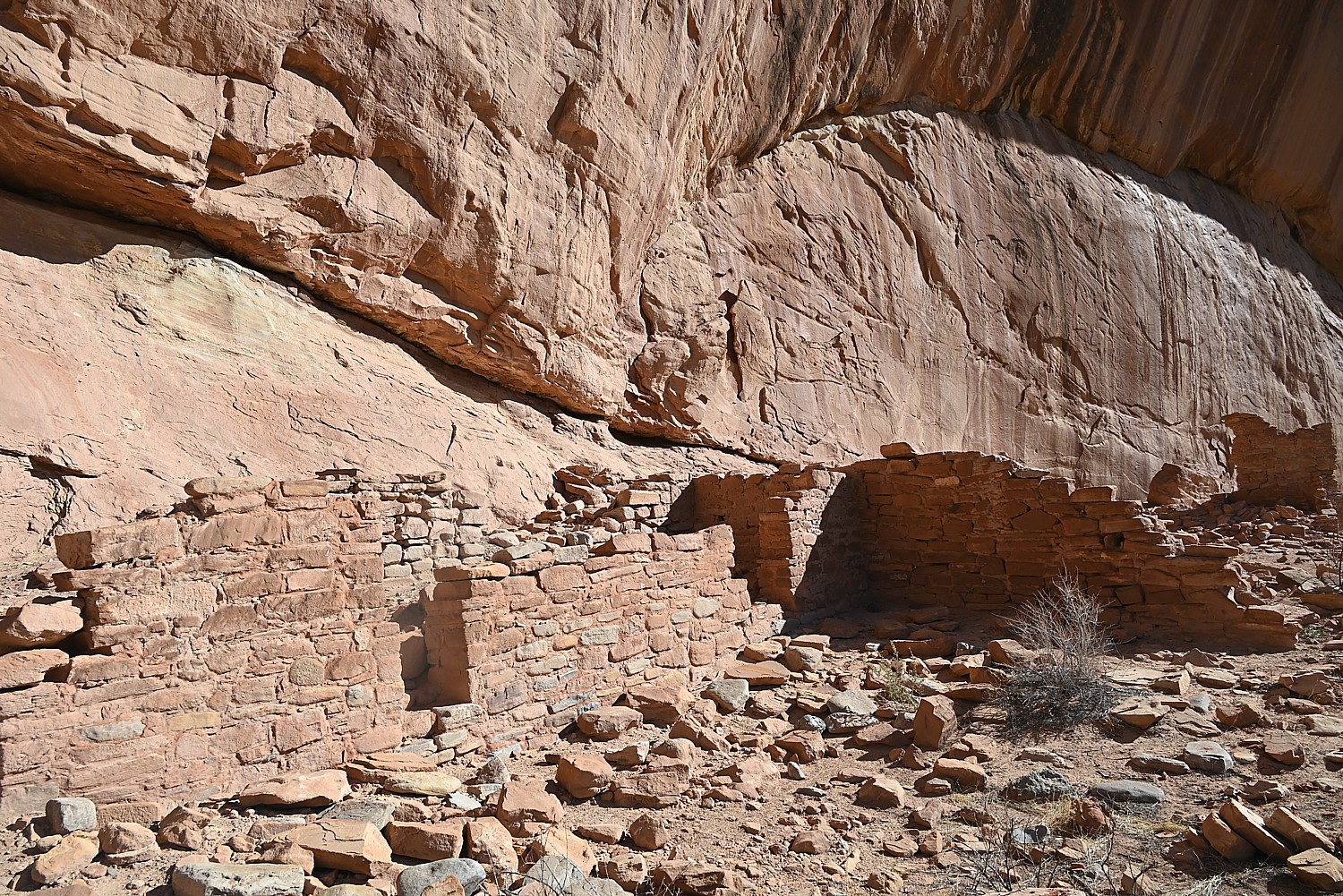
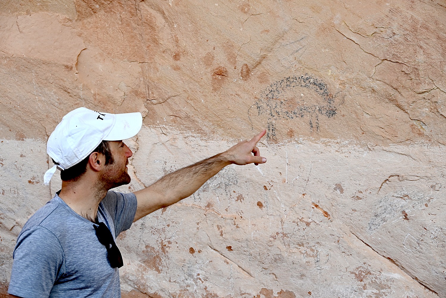
UTAH ADVENTURE DAY 4-5: DRIVING BURR TRAIL, EXPLORING GLEN CANYON, WILD CAMPING IN ARCH CANYON
_____________________
© 2025 Travel Features Syndicate, a division of Workstyles, Inc. All rights reserved. Visit goingplacesfarandnear.com and travelwritersmagazine.com/TravelFeaturesSyndicate/. Blogging at goingplacesnearandfar.wordpress.com and moralcompasstravel.info. Visit instagram.com/going_places_far_and_near and instagram.com/bigbackpacktraveler/ Send comments or questions to FamTravLtr@aol.com. Bluesky: @newsphotosfeatures.bsky.social X: @TravelFeatures Threads: @news_and_photo_features ‘Like’ us atfacebook.com/NewsPhotoFeatures