By Karen Rubin, Travel Features Syndicate, goingplacesfarandnear.com
In these unsettled times and despite high fuel prices (or perhaps because of them), the old-timey family Road Trip is enjoying renewed allure. Like comfort food from your childhood, the road trip evokes nostalgia for an imagined simpler, more innocent time. People like the freedom (from timetables, security lines, not having to agonize over what you can’t fit into your carry-on), the ability to spend as little or as much time, to come upon some serendipitous discovery, to immerse in local happenings and celebrations.
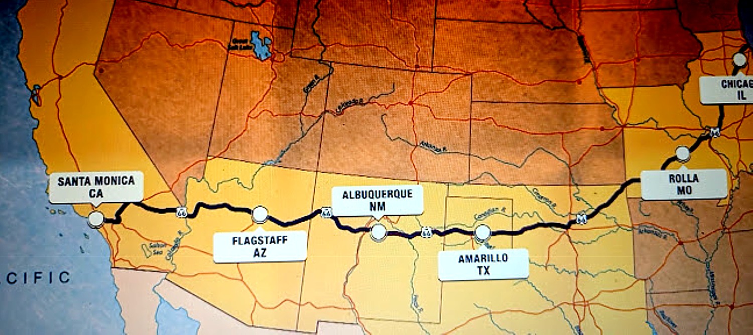
A key event sparking interest in the road trip this summer is the centennial celebration of Route 66. Spanning 2,448 miles across eight states from Chicago, Illinois to Santa Monica, California, Route 66 became synonymous with the ultimate road trip adventure, a symbol of American freedom on four wheels, as an industrializing America was rolling out highways and paving over dirt roads.
This year, the Route 66 Centennial Commission is inviting roadsters to step back in time and experience the retro charm, vintage vibes, small-town hospitality, and trendy twists on classic roadside dining.
Dubbed “the Mother Road” and the “Main Street of America,” states all along the route are featuring exhibits honoring 100 years of the highway that coincides with a focus on history because of America’s 250th.
Use the official Route 66 Centennial (route66centennial.org) portal to plan your stops, or read the AAA Route 66 Road Trip guide for scenic route highlights.
Centennial Web Hubs: Discover more historical milestones and celebrations via the Route 66 Centennial site or check out the broader travel calendar on the Route 66 Centennial (route66-centennial.com).
There are also links to seek out must-see roadside attractions (https://www.route66-centennial.com/mother-road-must-sees-route-66s-iconic-roadside-attractions/) and where to find natural wonders near Route 66 (https://www.route66-centennial.com/natural-wonders-near-route-66/).
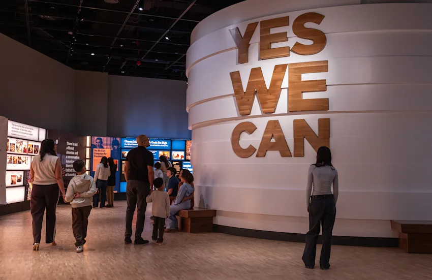
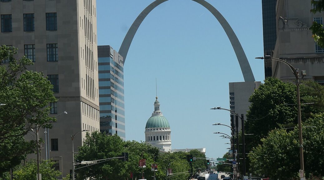
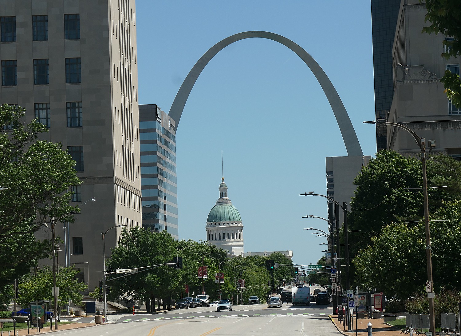
The legendary route serves up awe-inspiring scenery, cultural landmarks and nostalgic charm along the way. Starting out in Chicago, don’t miss an opportunity to be among the first to visit the Obama Presidential Center; in St. Louis, Gateway Arch National Park (and the museums underneath) and the Courthouse where the Dred Scott Decision began; Petrified Forest National Park, in Arizona, ending in Santa Monica at the famous pier.
Here are suggestions for an itinerary built around natural attractions:
Lake Michigan’s shores extend to four states – Illinois, Indiana, Wisconsin and Michigan. Chicago’s 42 kilometers of lakefront encompass public parks, gardens, paved trails and beaches. Take the South Shore Line commuter train from Chicago’s Union Station to Indiana Dunes National Park for a serene escape from the big city.
Meramec Caverns, Stanton, Missouri, an hour’s drive southwest of St. Louis, is an underground wonder, towering stalactites and shimmering mineral deposits, believed to have served as a hideout of famed outlaw Jesse James. Rent kayaks or canoes on the Meramec River.
Springfield Botanical Gardens is a free, picturesque sanctuary Springfield, Missouri, at Nathanael Greene/Close Memorial Park, Springfield, Missouri.
Turkey Mountain Urban Wilderness Area, a short drive from Tulsa, Oklahoma, offers forested hills, rocky outcrops and scenic overlooks of Turkey Mountain.
Palo Duro Canyon State Park, set in the Texas Panhandle near Amarillo, is the second-largest canyon in the USA.
Blue Hole, tucked away in the high desert town of Santa Rosa, New Mexico, a two-hour drive from Albuquerque, is where you can jump into the artesian spring from cliffs along its shores and scuba dive, and fish in the crystal clear waters.
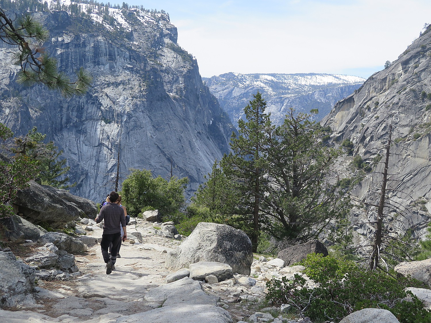
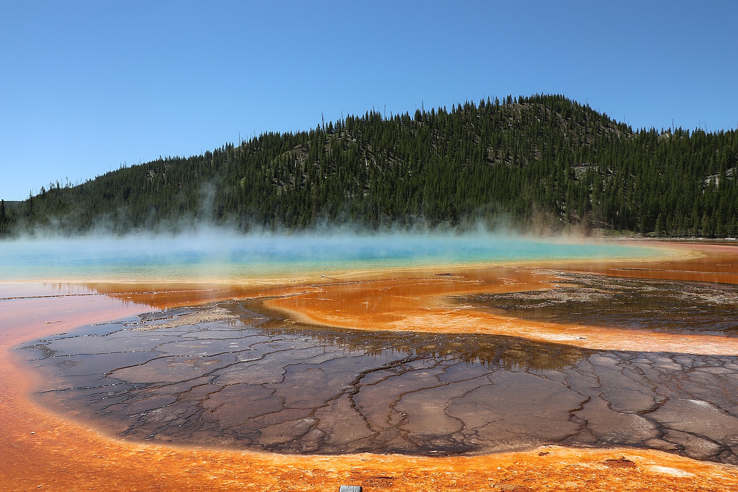
Petrified Forest National Park: Route 66 cuts right through this park, renowned for its fossilized wood and the striking backdrop of the Painted Desert, a 90-minute drive from Flagstaff, Arizona.
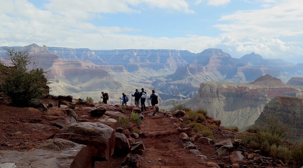
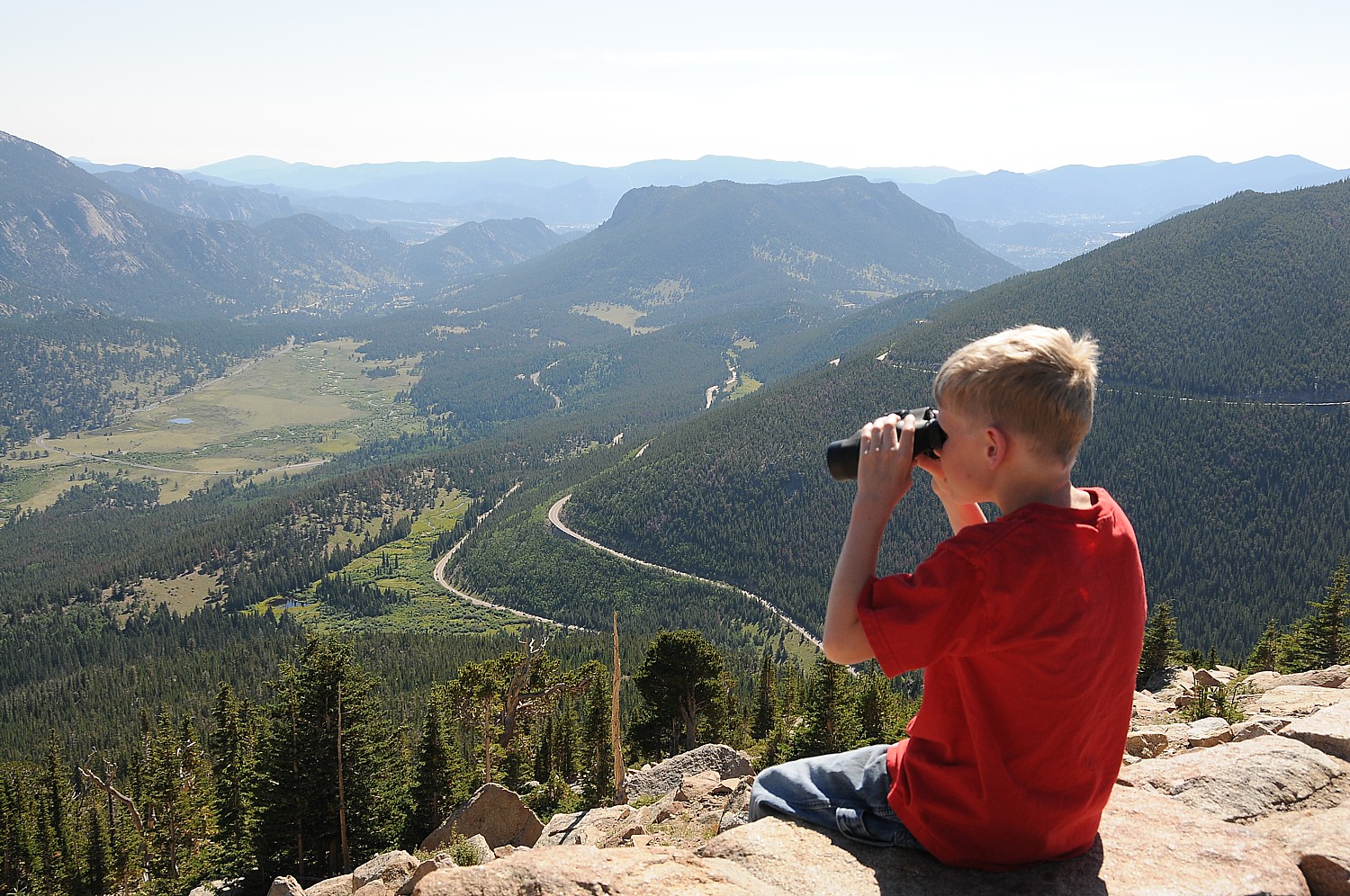
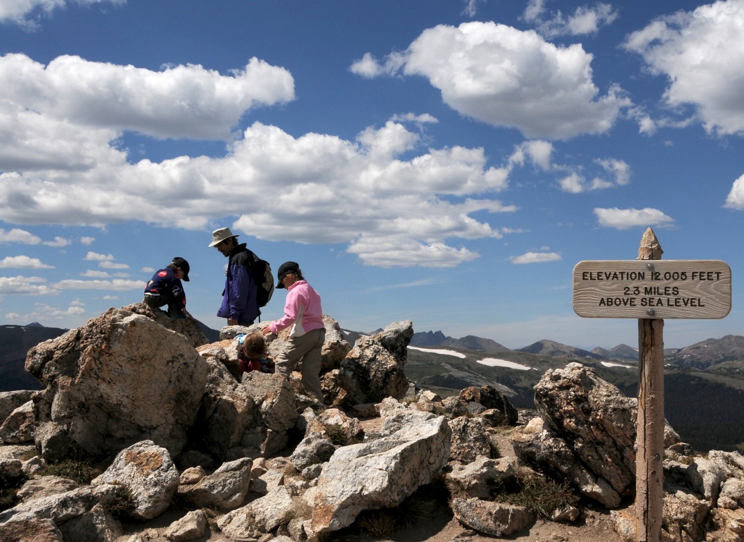
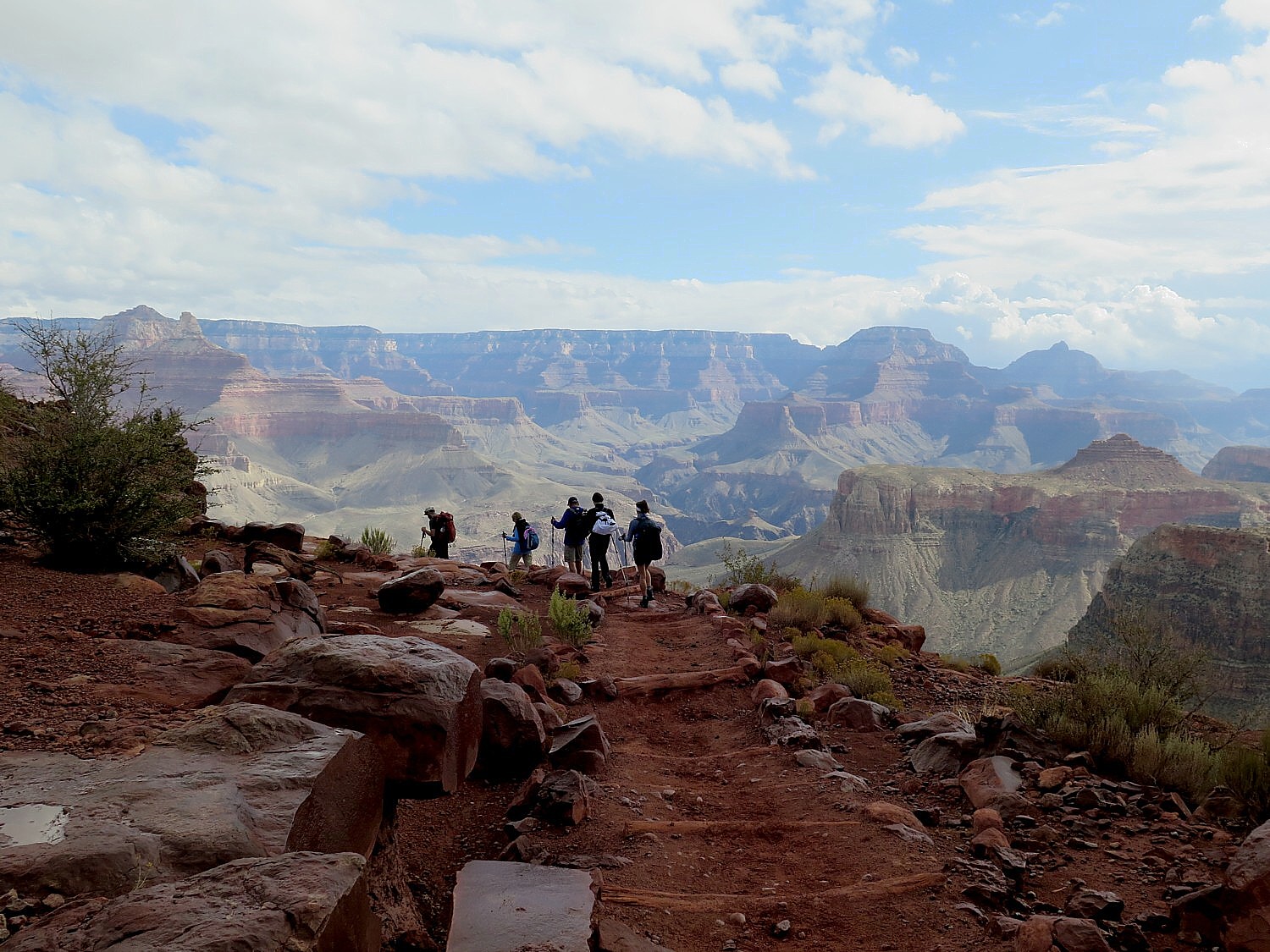
When cruising Route 66 through Arizona, set aside time to visit the Grand Canyon National Park.
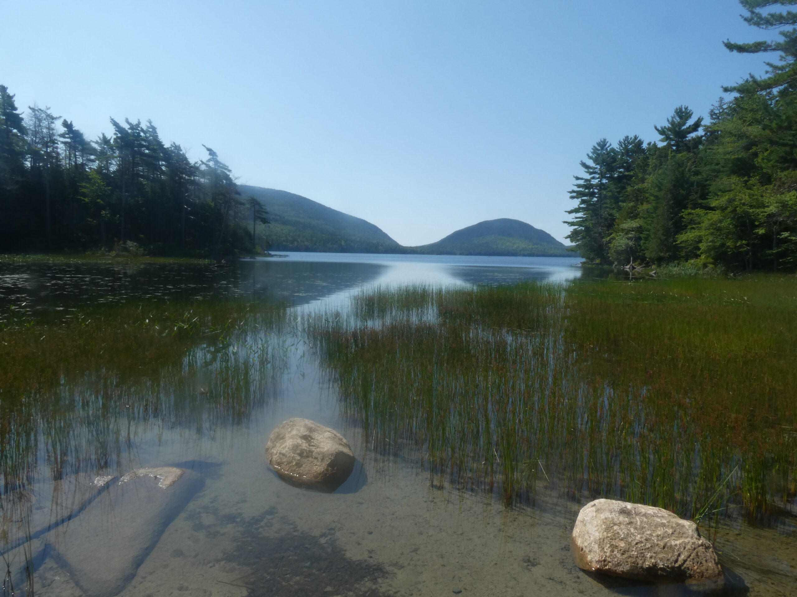
Mojave National Preserve, a lesser-known gem located a four-hour drive from Los Angeles or an hour’s drive from Las Vegas, Nevada. is a desert ecosystem of soaring sand dunes, forests of Joshua trees, ancient volcanic cinder cones and magma flows.
Amboy Crater is a dormant cinder cone volcano in Mojave Trails National Monument, located near Amboy, California, a three-hour drive from Los Angeles. Follow the Amboy Crater Rim Trail to circumnavigate the symmetrical cone, which was formed about 10,000 years ago. Due to minimal light pollution, it’s also a popular stargazing spot.
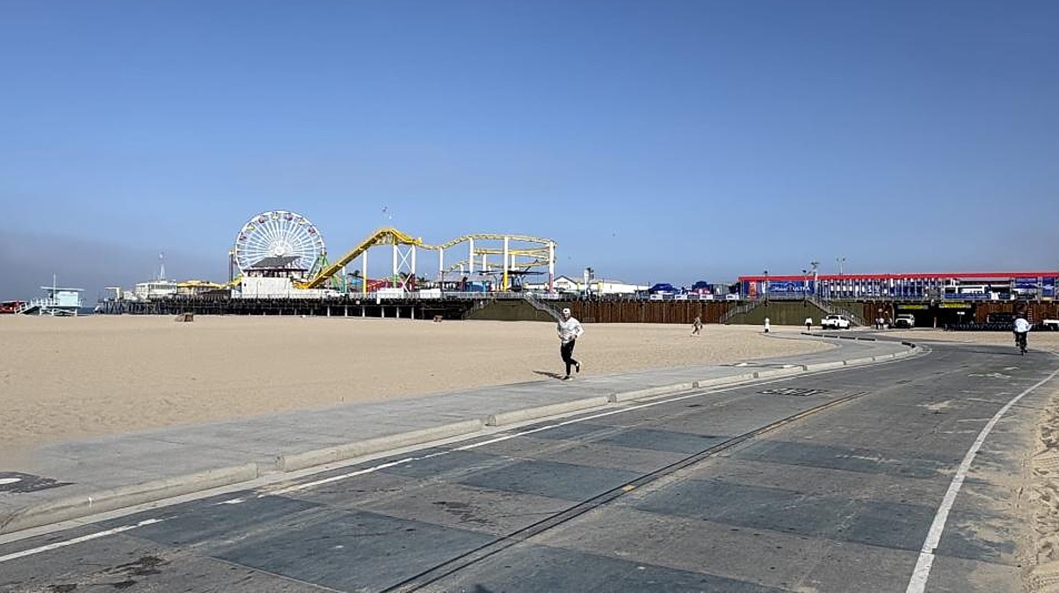
Santa Monica, California, at the western end of Route 66, on the Pacific Ocean, is famous for its beaches and the Santa Monica Pier, home to a popular amusement park.
(See: https://route66centennial.org/celebrate/the-great-american-road-trip)
Stay in hotels, motels along the way (hoteltonight.com, booking.com, hotels.com).
See also: route66roadtrip.com.
Kampgrounds of America’s 6-Part Route 66 Itinerary
Want to take your Route 66 roadtrip adventure to the next-level? Plan to camp along the way. Kampgrounds of America (KOA) has created a 6-part itinerary (https://koa.com/blog/travel-route-66-in-6-parts/):
Section 1: Chicago to St. Louis
Section 2: St. Louis to Tulsa
Section 3: Tulsa to Amarillo
Section 4: Amarillo to Albuquerque
Section 5: Albuquerque to Kingman
Section 6: Kingman to Santa Monica
KOA and AdventureGenie have also teamed up to create ready-to-go itineraries. In each section, there is a link to a corresponding AdventureGenie trip that can be customized using their AI technology to add the activities and stops that fit your personal preferences —all in just a few clicks.
A Roundup of America’s Great Road Trips
Some of America’s best summer getaways are closer than you think, conveniently located just off major highways and within an easy drive of key cities. Pack up the car, bring what and who you want, and hit the road to destinations for outdoor adventure, history, family fun and standout local flavors.
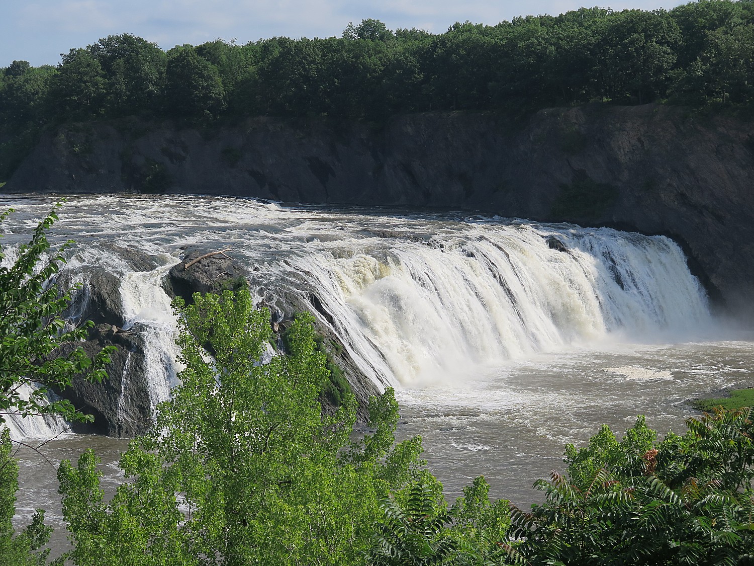
Shenandoah County, Virginia: Great Outdoors Road Trip: Tucked into the Shenandoah Valley, this stretch takes you to small mountain towns like Woodstock, Strasburg and Edinburg in Virginia (reached via Interstate 81) to immerse in the great outdoors:
- Hiking or mountain biking at Bryce Resort, a year-round retreat that offers trails, lift-served biking and water sports at Lake Laura.
- Kayaking, paddling and fishing along the Shenandoah River.
- Exploring miles of trails in the George Washington National Forest or Seven Bends State Park.
- Riding horseback with Secret Passage Ranch or tackling OHV trails through the county’s backroads and forested terrain.
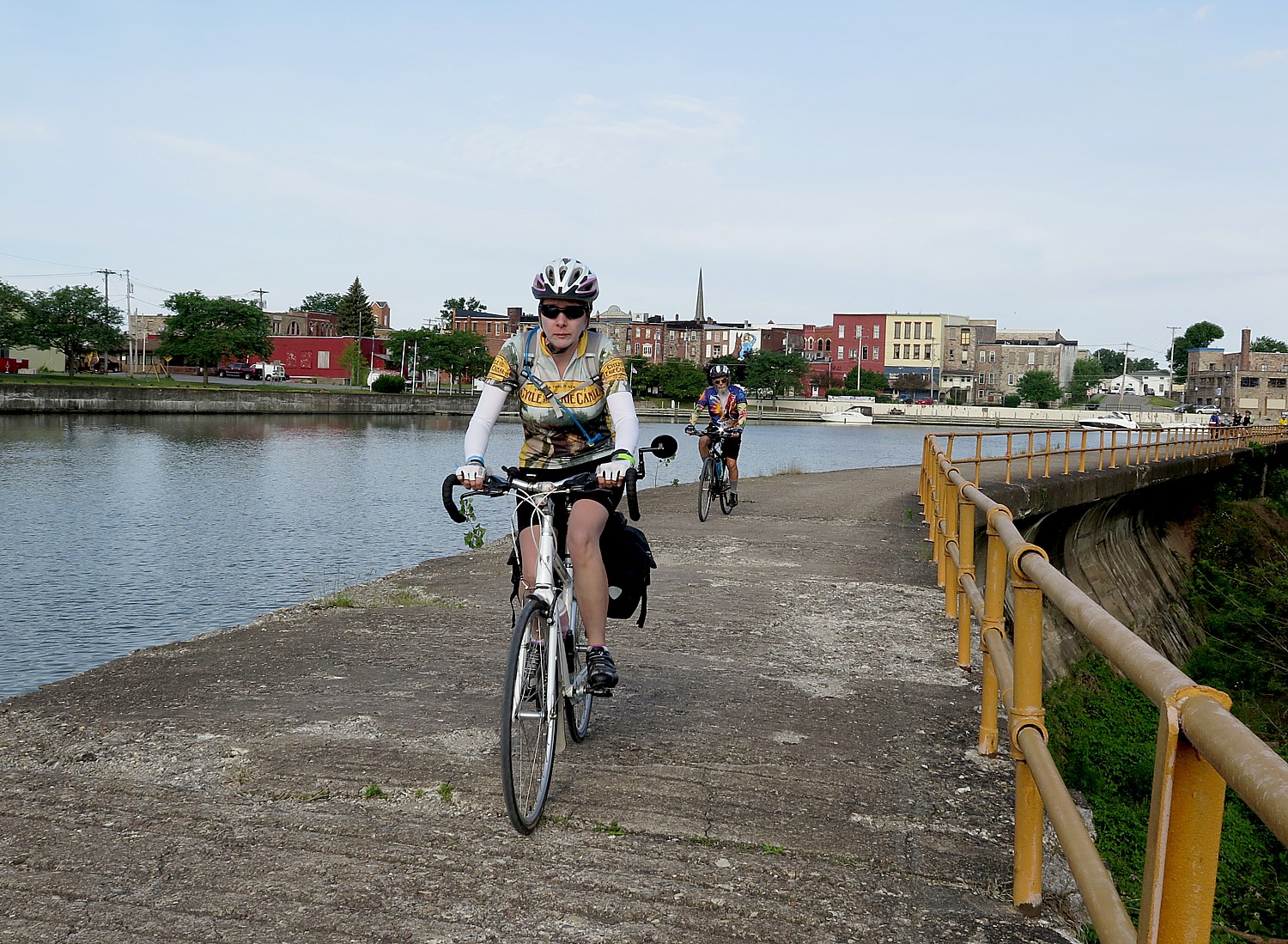
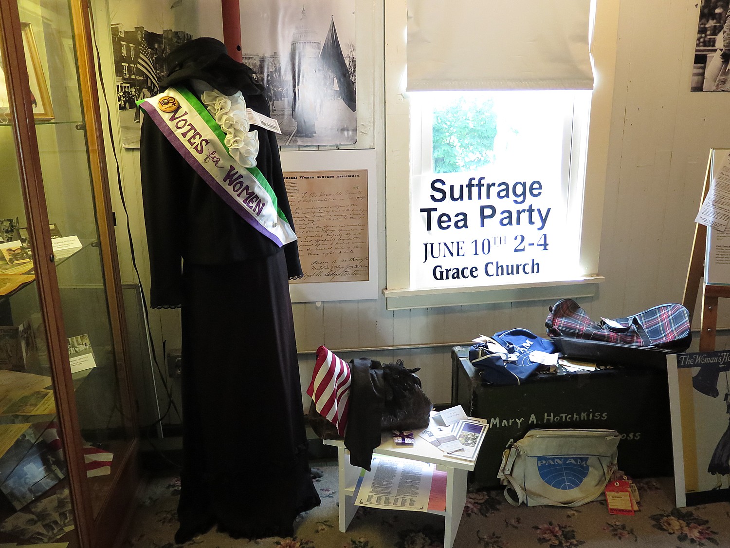
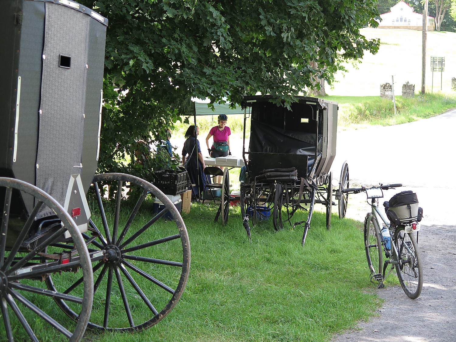
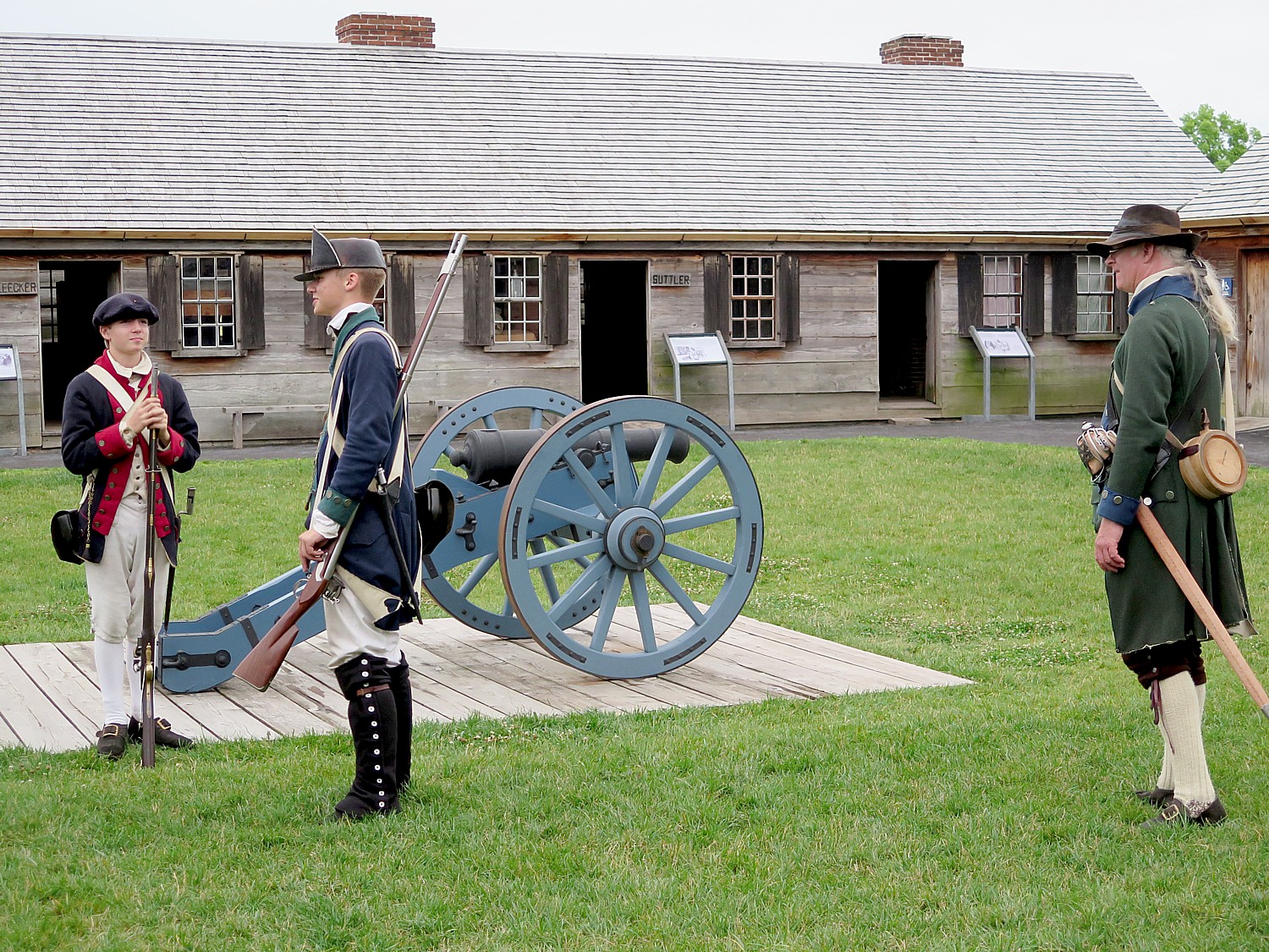
Allegany County, Maryland: American History Road Trip: This part of Western Maryland (reached via Interstate 68) had a front-row seat to countless important moments in American history. Since the nation’s infancy, Cumberland has served as one of the United States’ most significant transportation hubs for covered wagons, canal boats, trains, automobiles and bicycles. Along the way, this region – affectionately dubbed “The Mountain Side of Maryland” – also played a quiet but important role in the journey to freedom via the Underground Railroad. A sampling of ways in which visitors can experience history in this mountain destination includes:
- Start your journey at “Mile Marker Zero” of the old National Road. A small monument still exists downtown, situated right outside the historic Western Maryland Railway Station, a reminder that this city was also a significant railroad stop.
- Sightsee on the Western Maryland Scenic Railroad: steam and diesel trains make the 16-mile loop between Cumberland and Frostburg year-round and offer themed seasonal rides such as ice cream trains and sunset on the mountain.
- Explore the tunnels underneath the Emmanuel Episcopal Church, which was a stop along the Underground Railroad. Tours are available on request and subject to availability.
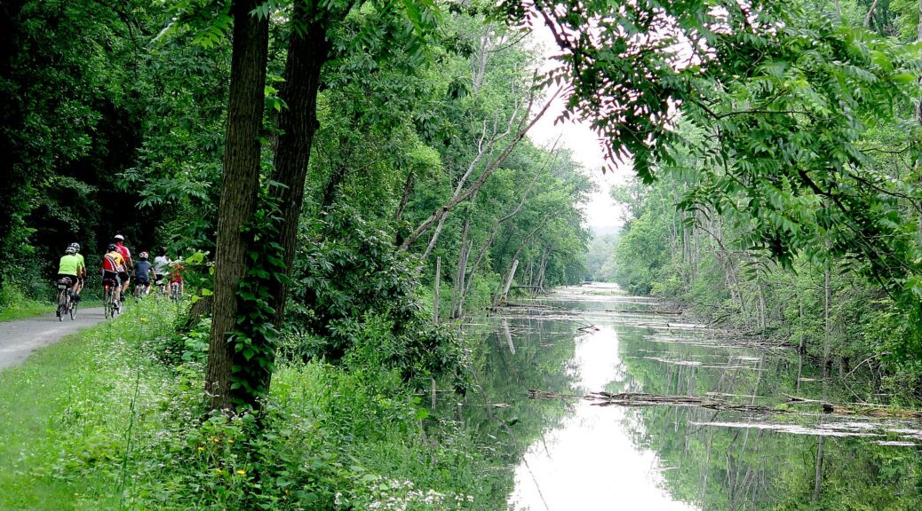
- Ride or hike the towpath of the Chesapeake & Ohio Canal National Historic Park, the 184.5-mile historic waterway that connected the nation’s capital to the mountains of Western Maryland. Construction began in 1828, and by 1850 the canal reached its western terminus in Cumberland, still an engineering marvel.
- Staying in a new (but old) hotel. An adaptive reuse project is breathing new life into a long-vacant Victorian-era building in historic downtown Cumberland. The Wills Hotel, set to welcome its first guests in June, is the destination’s first boutique property.
Bowling Green, Kentucky: Family-Friendly Road Trip: Located in South Central Kentucky via Interstate65, Bowling Green is ideal for a family summer vacation, offering classic Americana and plenty of sweet treats. Some of the top family-friendly activities in Bowling Green include:
- Catch a Bowling Green Hot Rods baseball game at the downtown ballpark, where summer nights come with fireworks and a side of tasty snacks.
- Cool off at Chaney’s Dairy Barn, known for farm-fresh ice cream, playground fun and the chance to meet adorable cows.
- Spend the day at Beech Bend Park & Splash Lagoon, a water park with classic amusement rides.
- Explore Lost River Cave, where guided boat tours take visitors underground through one of Kentucky’s most unique natural attractions. During the summer, the cave’s former nightclub is transformed into an underground movie theater that features kid-friendly movies. (The movies are for members only, but an annual membership costs less than taking your family to a standard theater and it comes with other perks, too.)
Ascension Parish, Louisiana: Foodie Road Trip: Located along Interstate 10, the highway that connects New Orleans to Baton Rouge, Ascension Parish lives up to its nickname “Louisiana’s Sweet Spot.” This is a destination where food takes center stage. The menu of ways visitors can taste the incredible flavors of Ascension Parish includes:
- Sip your way along the Louisiana’s Sweet Spot Cocktail Trail, which runs through July 31 and features locally inspired drinks offered by 20 participating restaurants and distilleries.
- Taste something sweet at The Cane Sugar Toffee Company, a beloved stop for handmade confections that feature an agricultural staple of the parish … sugarcane!
- Dig into the parish’s signature dish in Gonzales, the Jambalaya Capital of the World, where jambalaya shows up at festivals, restaurants and dinner tables alike.
Road Trip to Explore America’s Story in Central Pennsylvania
Central Pennsylvania offers a road trip that brings American history to life, ideal for a driveable summer getaway. Blending immersive museums, iconic landmarks, and family-friendly experiences across three easy-to-navigate days, this itinerary offers storytelling, hands-on activities, and scenic exploration, ideal for families, history enthusiasts, and cultural travelers.
Day 1: Industry, Innovation & the Civil War (Hershey & Harrisburg):
- Start at The Hershey Story Museum, an interactive museum exploring the legacy of Milton Hershey, complete with chocolate tastings and hands-on experiences.
- Head to the Indian Echo Caverns, an underground featuring guided cave tours, gem mining, and family-friendly activities.
- End the day at the National Civil War Museum, one of the most comprehensive Civil War museums in the U.S., with artifacts tied to figures like Abraham Lincoln and Ulysses S. Grant.
Where to Stay: Homewood Suites by Hilton Harrisburg; Best Western Premier The Central Hotel & Conference Center
Day 2: The Turning Point of the Civil War (Gettysburg):Spend the entire day immersed in one of the most pivotal moments in American history.
- Explore the Gettysburg National Military Park, where visitors can walk or drive the battlefield and experience its historic landmarks.
- Also visit the Gettysburg Museum and Visitor Center to view the iconic Cyclorama and dive deeper into the story through immersive exhibits.
Where to Stay: 1863 Inn at Gettysburg; Wyndham Gettysburg Hotel & Conference Center; Best Western Gettysburg
Day 3: Railroads & Rural Life (Altoona & Lancaster). Wrap up with a look at the industries and communities that helped shape Pennsylvania.
- Start at Horseshoe Curve, a National Historic Landmark where trains navigate a dramatic mountain curve.
- Visit the Railroaders Memorial Museum, highlighting the workers behind the Pennsylvania Railroad.
- On the return, stop at Landis Valley Village & Farm Museum, a 100-acre living history site showcasing Pennsylvania German life.
Where to Stay: Fairfield Inn & Suites by Marriott Altoona; Holiday Inn Express & Suites Altoona
Discover “101 Things to Do Just Off the 101” in California’s Conejo Valley
Visit Conejo Valley is inviting travelers to take the scenic route between Los Angeles and Santa Barbara in southern California, conveniently accessible from Highway 101, with the launch of its new “101 Things to Do Just Off the 101” guide, a curated collection of stops and activities.
Long considered a hidden gem, Conejo Valley blends outdoor adventure, dining and cultural attractions. Spend the day discovering oak-studded hiking paths, sipping small-batch craft brews, exploring local art and history museums or unwinding at open-air restaurants and lively community gathering spots.
The “101 Things to Do Just Off the 101” guide highlights attractions across Thousand Oaks, Agoura Hills and Newbury Park, featuring everything from horseback riding trails and local coffee shops to golf courses, breweries, performing arts venues and immersive cultural attractions. Among the featured 101 experiences:
- See the sunset from Tarantula Hill.
- Grab some homemade fudge at Newberry Candy.
- Visit the serene Japanese Pagoda at the Gardens of the World.
- After dinner, grab a handcrafted cocktail made from fresh local ingredients at Oak & Iron.
- Visit the church featured in HBO’s Westworld at Paramount Ranch.
See the full “101 Things to Do Just Off the 101” guide at:
https://conejo.com/insider-tips/101-things-to-do-just-off-the-101/
To learn more about accommodations, attractions, and things to do in Conejo Valley, visit conejo.com.
__________________
© 2026 Travel Features Syndicate, a division of Workstyles, Inc. All rights reserved. Visit goingplacesfarandnear.com and travelwritersmagazine.com/TravelFeaturesSyndicate/. Blogging at goingplacesnearandfar.wordpress.com and moralcompasstravel.info. Visit instagram.com/going_places_far_and_near and instagram.com/bigbackpacktraveler/ Send comments or questions to FamTravLtr@aol.com. Bluesky: @newsphotosfeatures.bsky.social X: @TravelFeatures Threads: @news_and_photo_features ‘Like’ us at facebook.com/NewsPhotoFeatures