by Karen Rubin, Travel Features Syndicate, goingplacesfarandnear.com
More than ever, travelers are prioritizing meaningful, wellness-focused, experiences, active adventures, and authentic connections with off-the-beaten-path destinations and communities. This is the finding of Backroads, a global trailblazer in active travel since 1979, in its Top Adventure Travel Trends for 2026. The report is based on early guest bookings and insights from its worldwide team of Trip Leaders and Travel Experts representing more than 60 countries across 550 itineraries worldwide.
Indeed, adventure travel is now one of the fastest-growing segments in tourism, with global adventure travel projected to surpass $2 trillion by 2032, according to the Adventure Travel Trade Association. At the same time, wellness-driven trips are accelerating worldwide as travelers seek meaningful, restorative, experience-rich vacations over passive leisure, a finding confirmed by the Global Wellness Institute.
The good news is that travel companies are catering to these trends with programming.
Backroads’ Top Adventure Travel Trends for 2026

Women and Solo Travelers on the Rise: Across travel, adventures designed for women are surging as friends, family and solo travelers seek connection, immersive confidence-boosting experiences and a sense of community. Backroads bookings reflect this shift, with demand for its Women’s Adventures projected to grow 100% in 2026. The solo travel market is expected to grow 14% over the next five years, with women over 50 a major driver of this momentum.
What’s Trending? Backroads England’s Cotswolds, Peru, Canadian Rockies Trips.
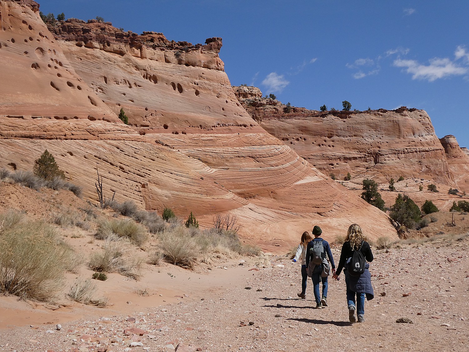
Family Togetherness Across the Globe: Prioritizing real-world experiences over screen time, modern families are seeking active vacations that spark connection and create lasting memories. Making the most of school breaks throughout the year, parents and grandparents with kids of all ages are booking adventure travel in record numbers.
What’s Trending? Backroads Trips for Families with Kids & Teens, Teens & 20s and 20s & Beyond: Brittany & Normandy, Croatia and Iceland.

Young Professionals Seeking Adventure: Millennial and Gen X travelers are fueling strong growth in adventure travel, driven by a clear desire for active exploration balanced with comfort, camaraderie and iconic destinations. This cohort is also poised to benefit from an unprecedented $27 trillion wealth transfer by 2045, expanding opportunities to prioritize meaningful, experience-driven travel.
What’s Trending? Backroads 30s & 40s Trips (small-group luxury trips designed for active and adventure-seeking Gen X and Millennial travelers): Peru Lodge-to-Lodge Trekking, Dolomites Hut-to-Hut Hiking and Santorini & Crete Multi-Adventure.

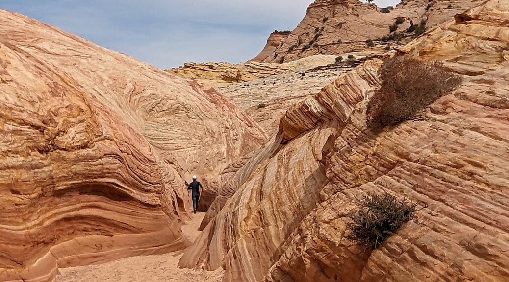
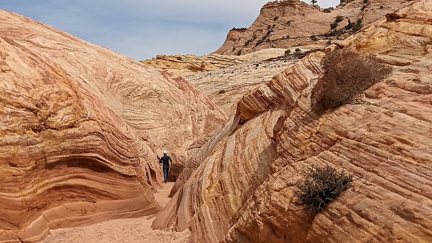
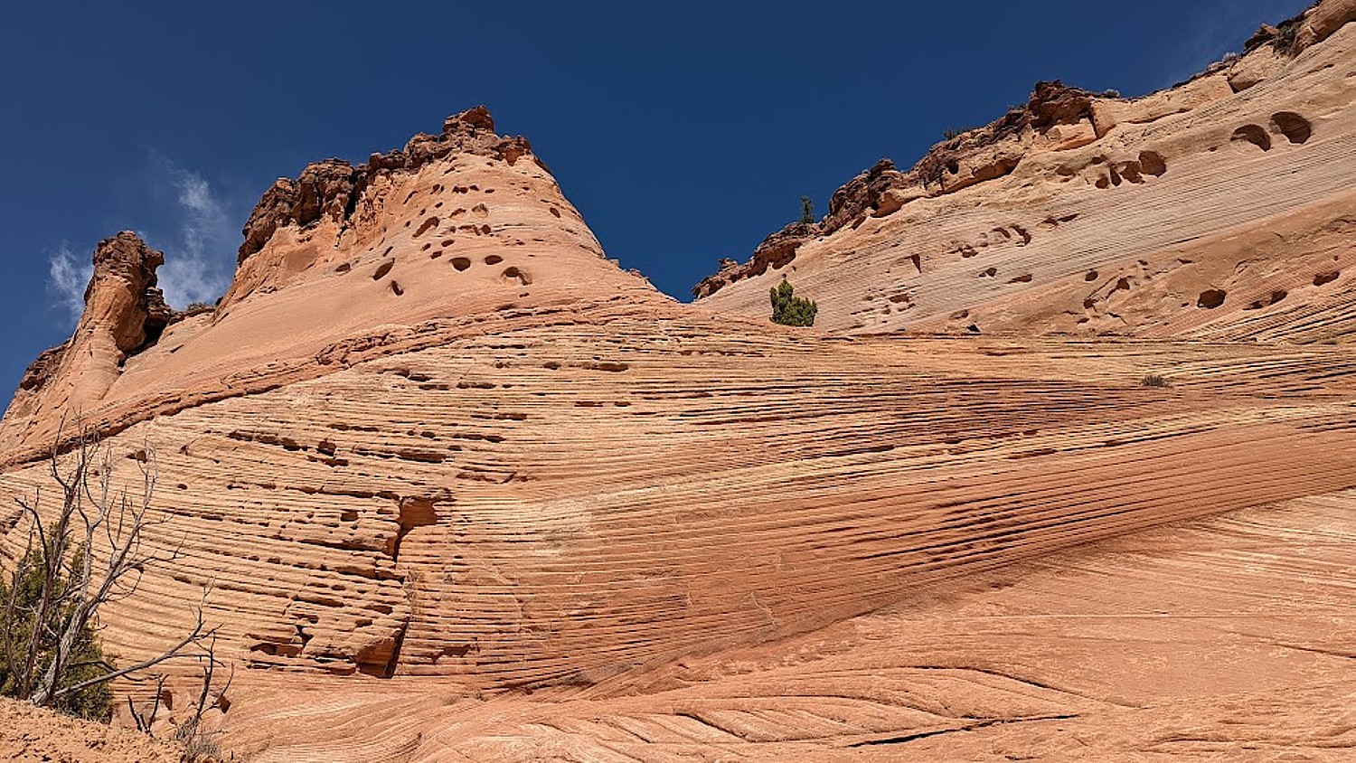
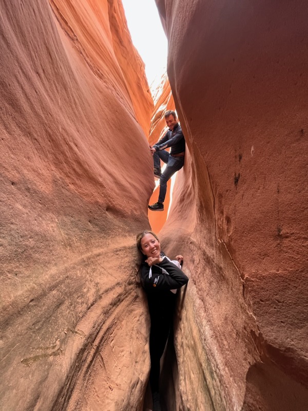
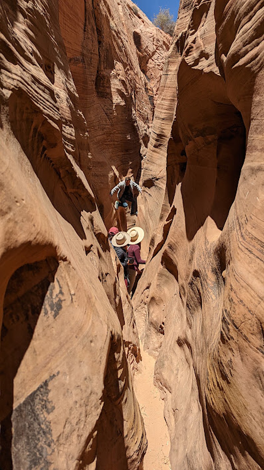
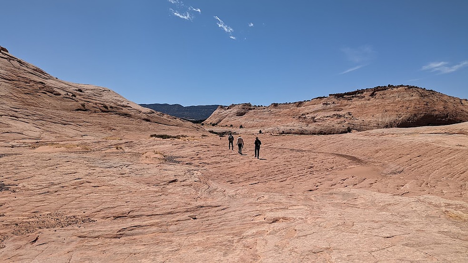
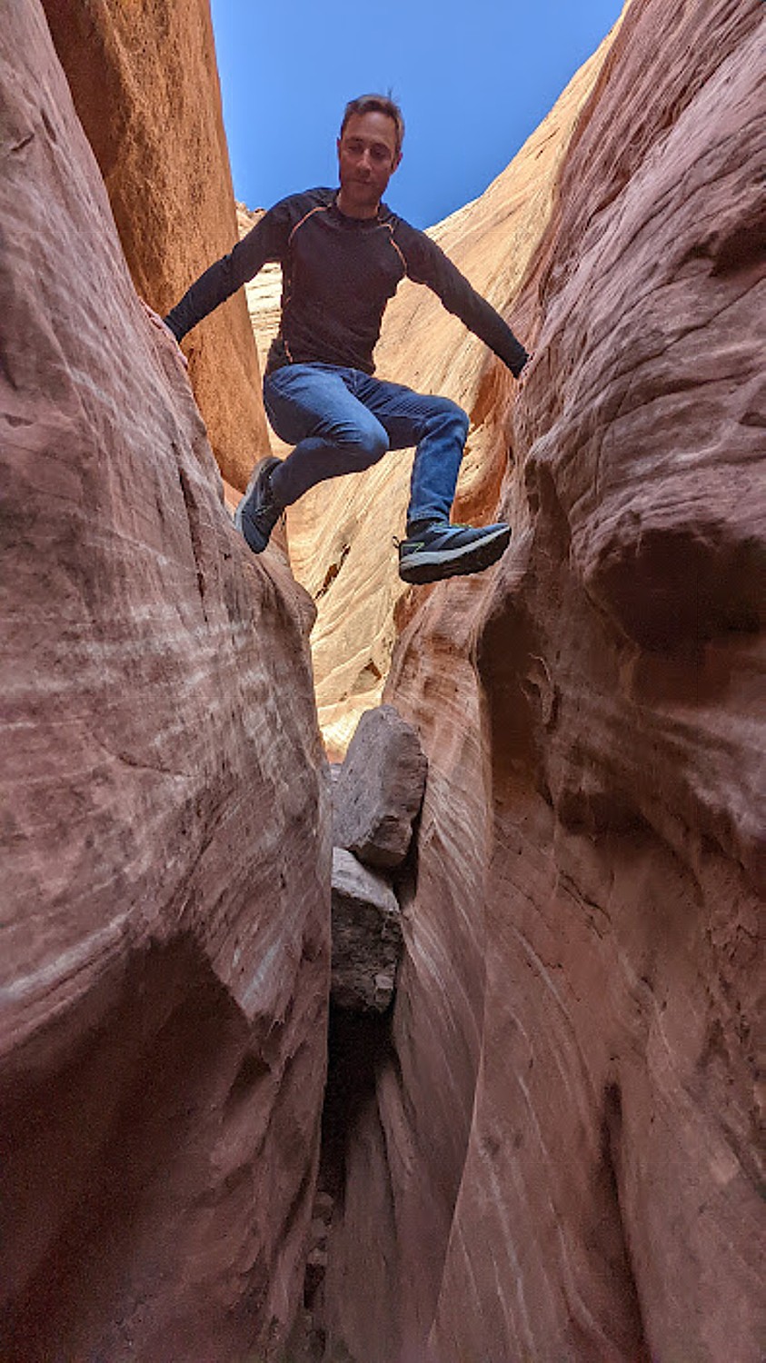
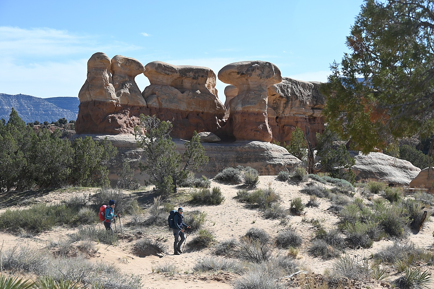
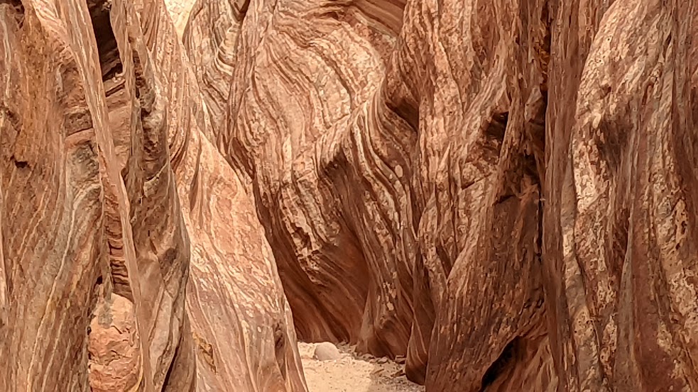
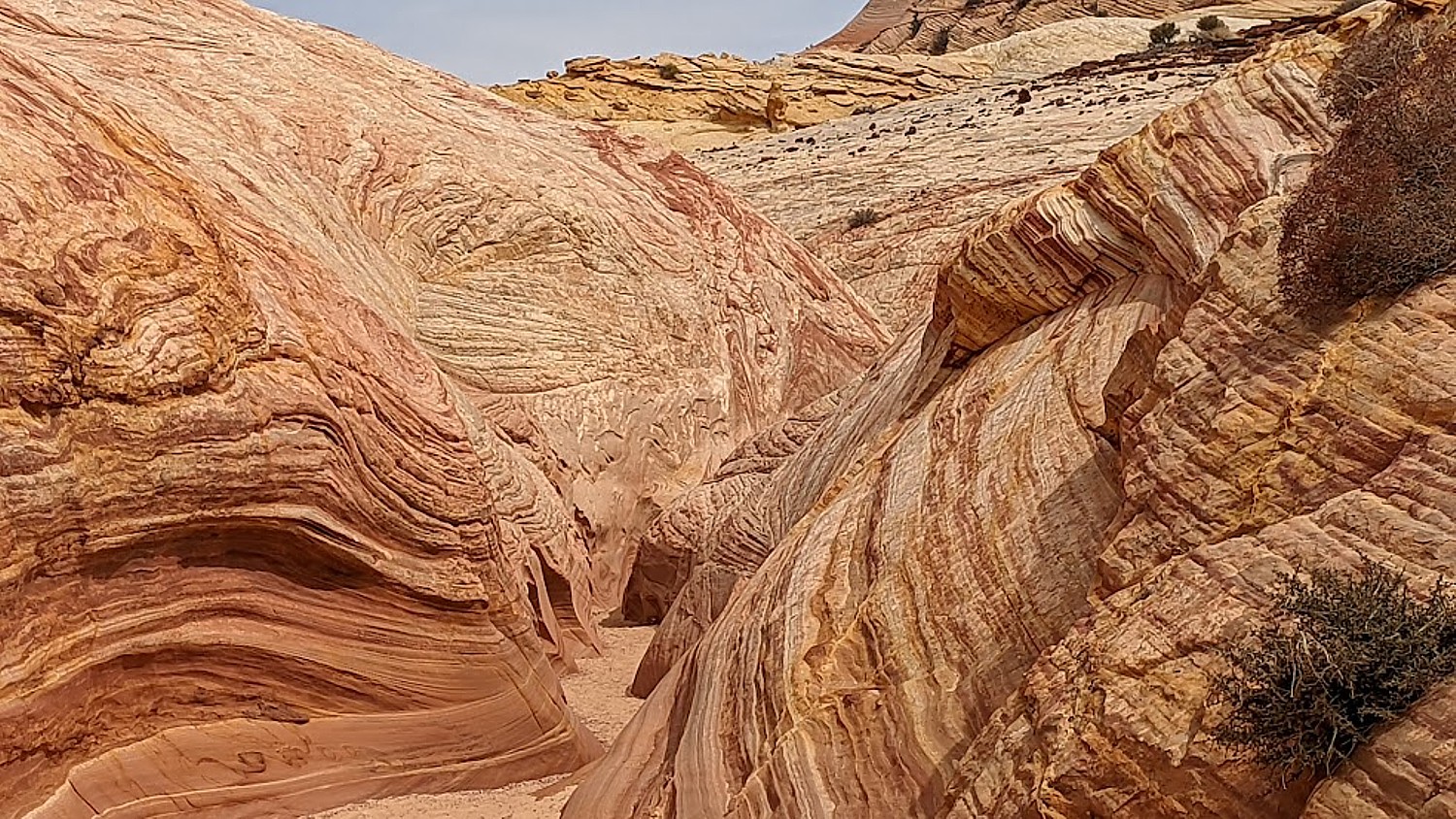
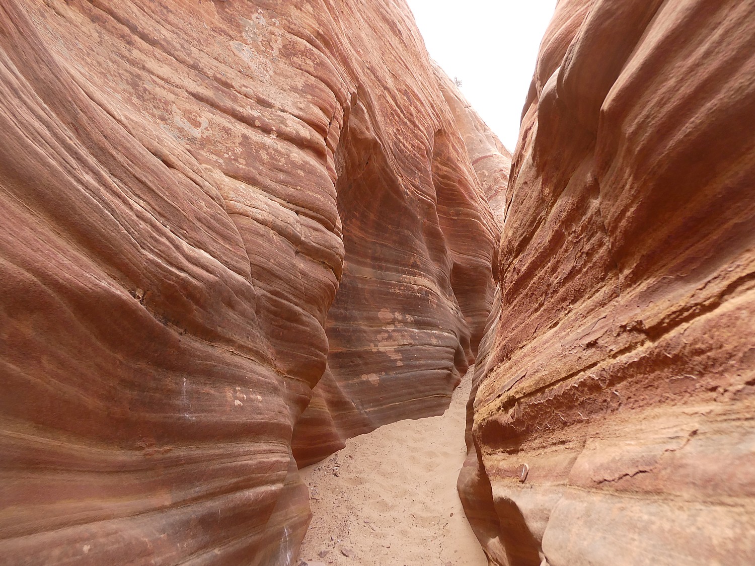
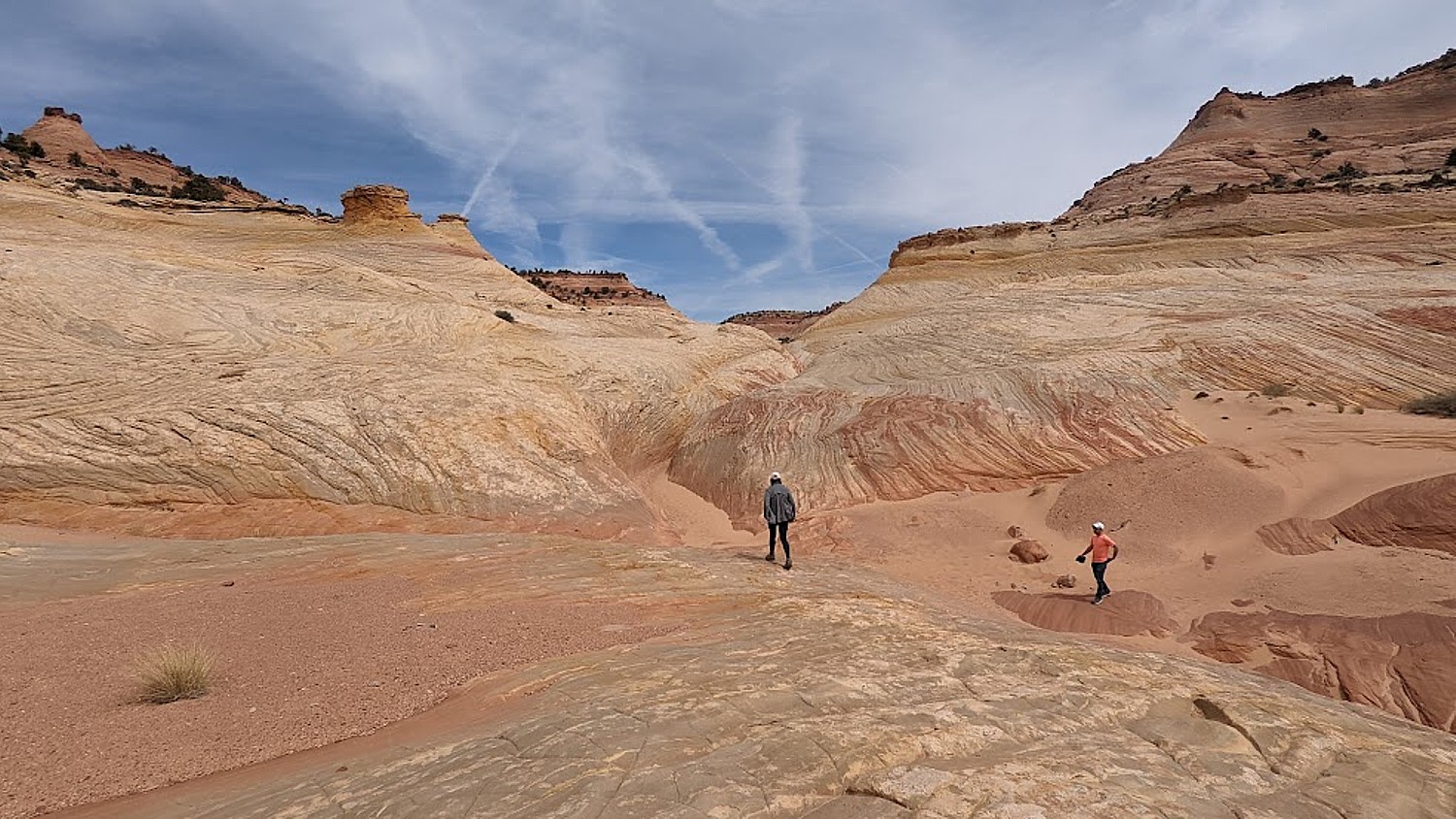
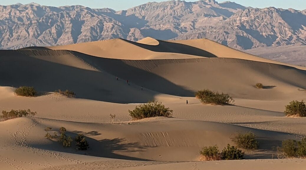
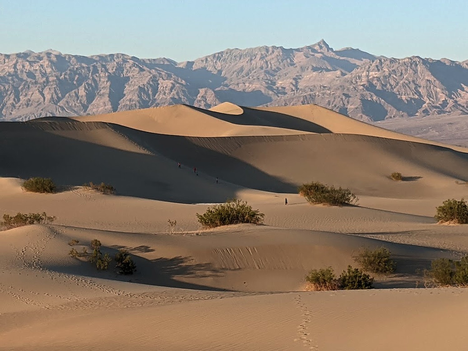
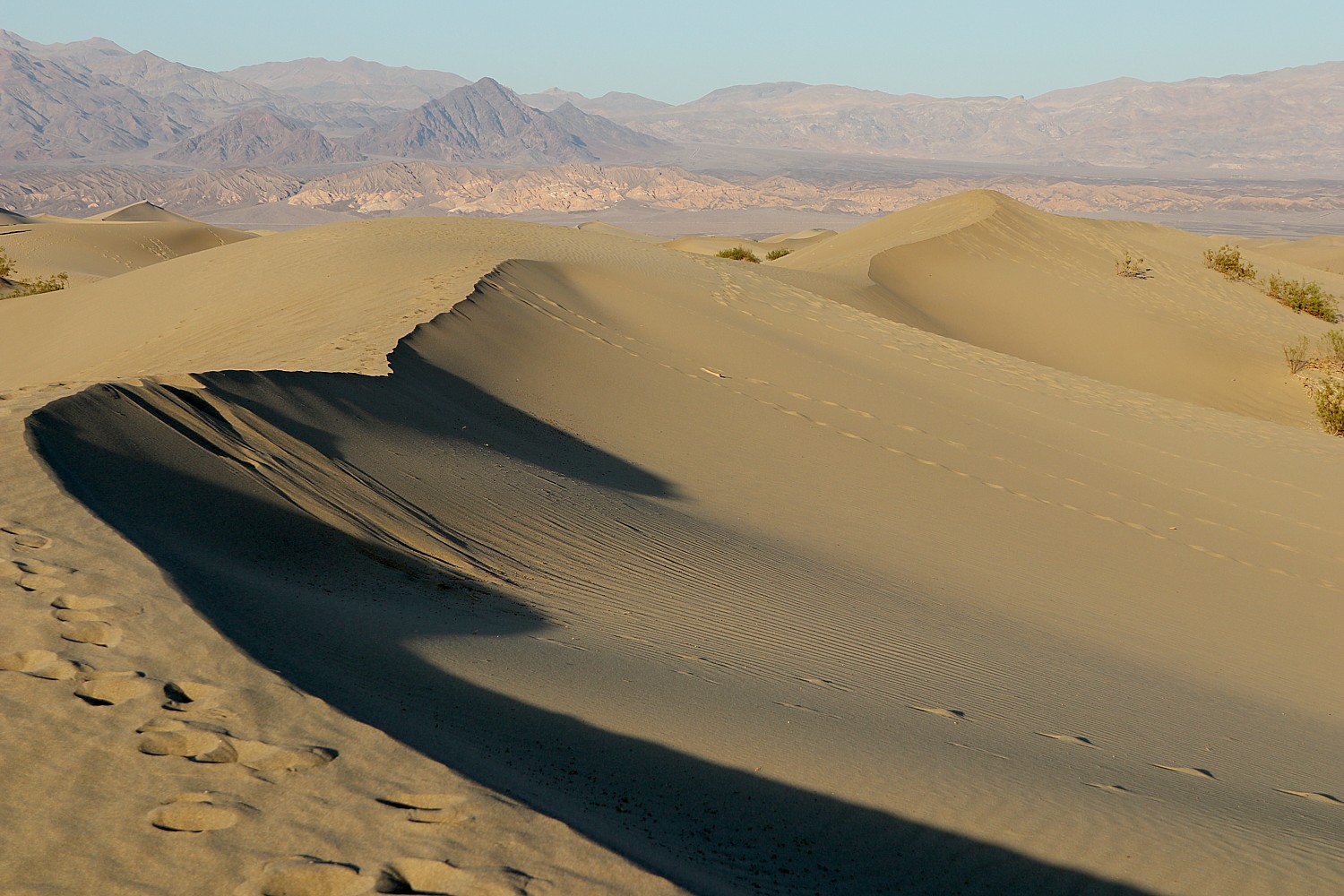
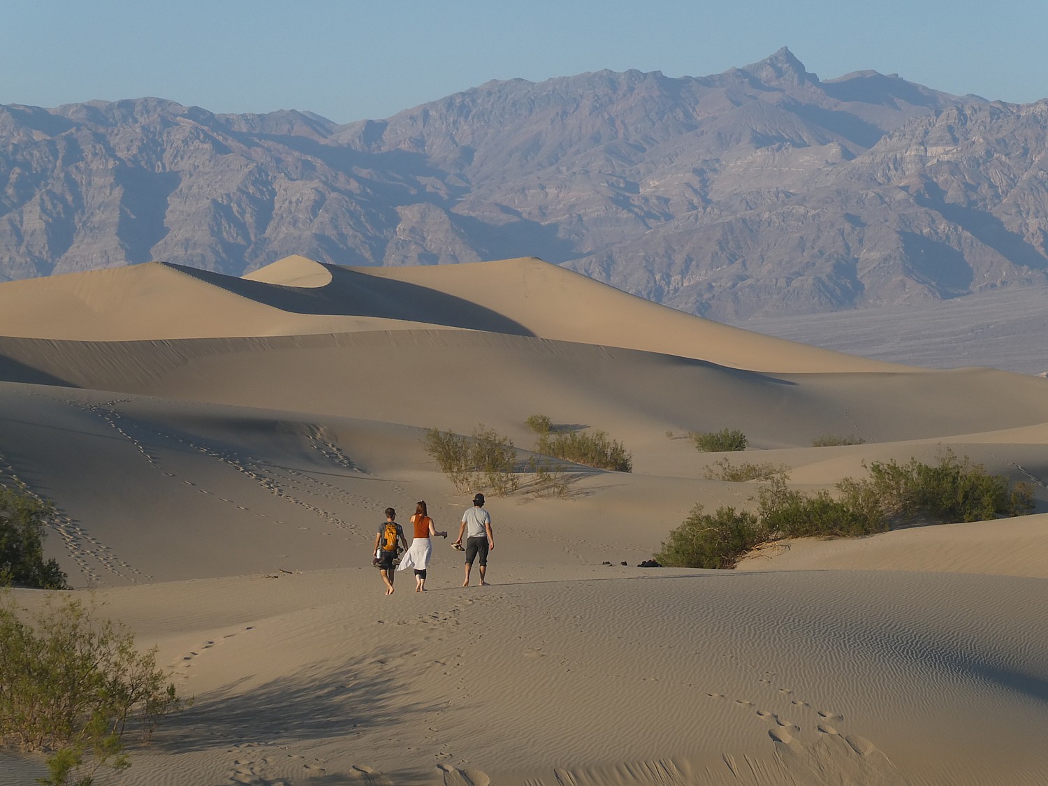
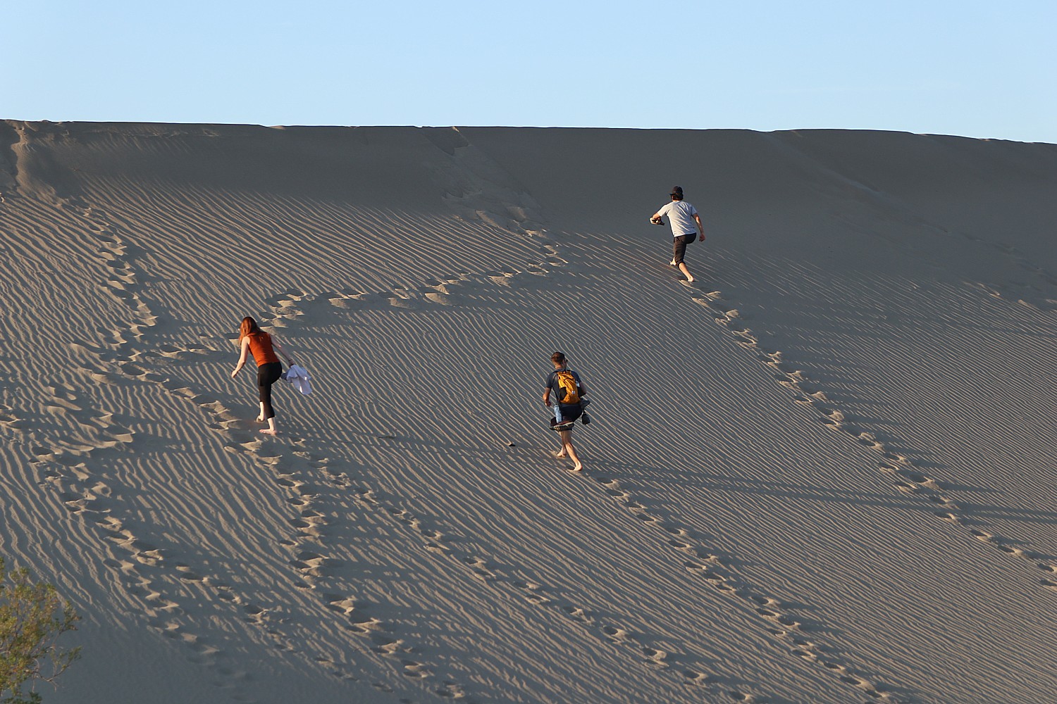
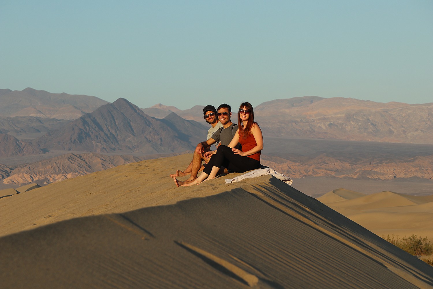
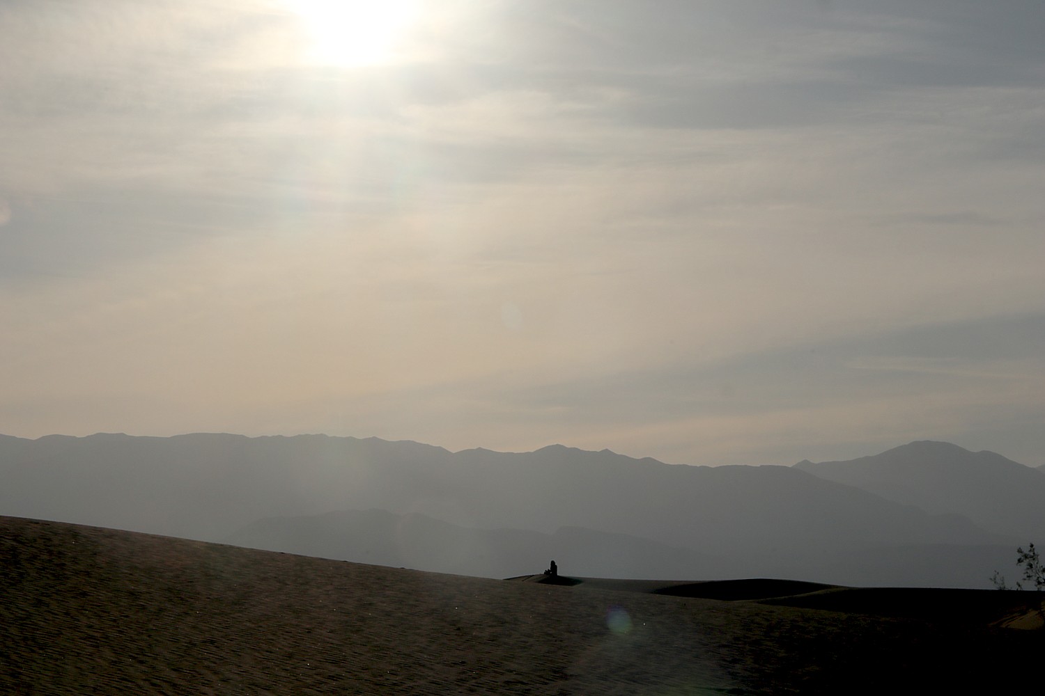
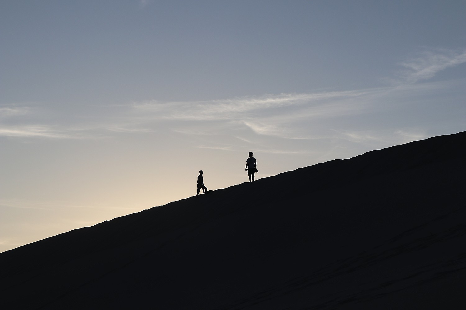
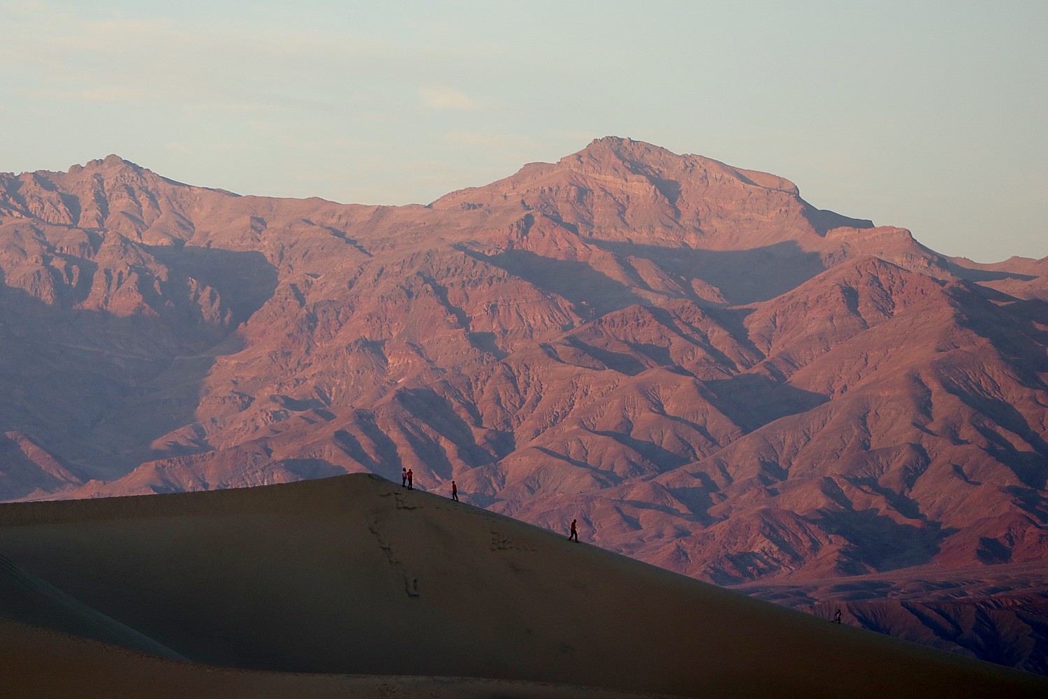
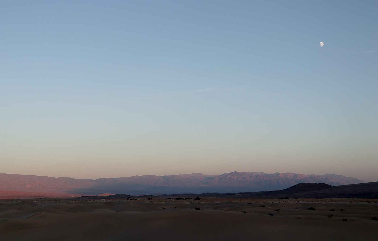
Nostalgia for Human-Powered Travel: From acoustic (non-electric-assist) biking for traditional cyclists eager to cover the miles using their own muscle power to hiking epic mountains, travelers are slowing down and rediscovering the rewards of moving with their own strength. By staying longer in one region or embracing human-powered adventure in small groups, guests are able to dive deeper into local culture and landscapes.
What’s Trending? Backroads Unplugged (non-electric-assist) Bike Tours in Croatia, Portugal’s Algarve, Tuscany and Nova Scotia; Argentina and Chile’s Patagonia Hiking & Walking Tours.
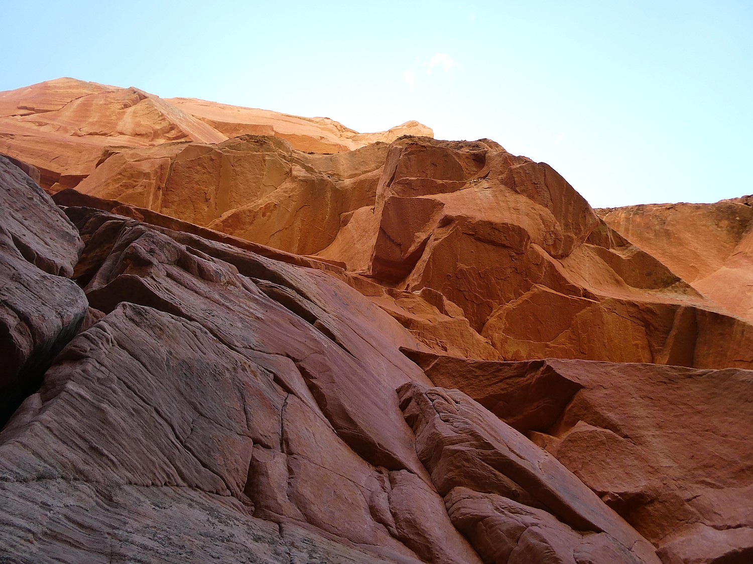
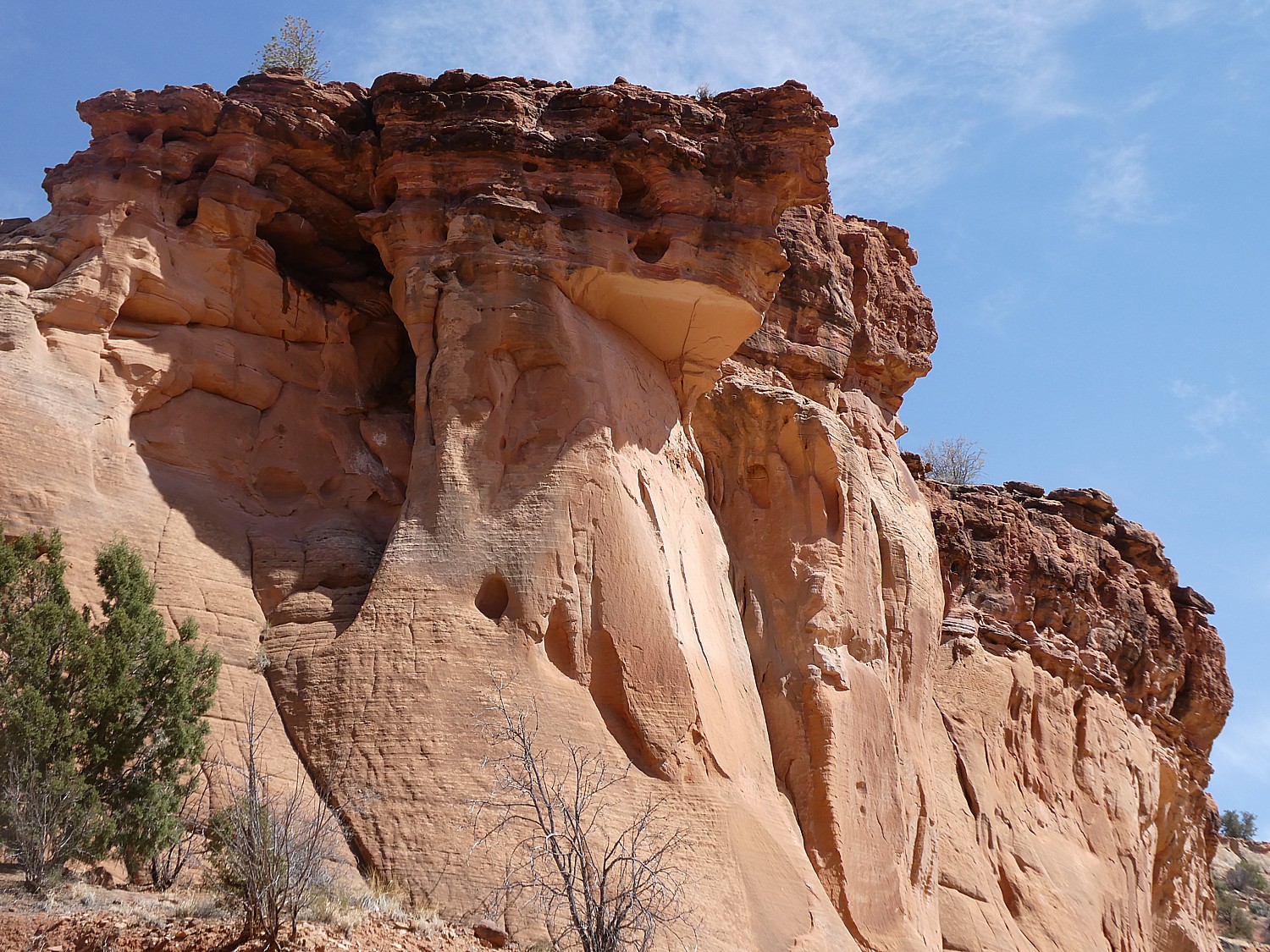
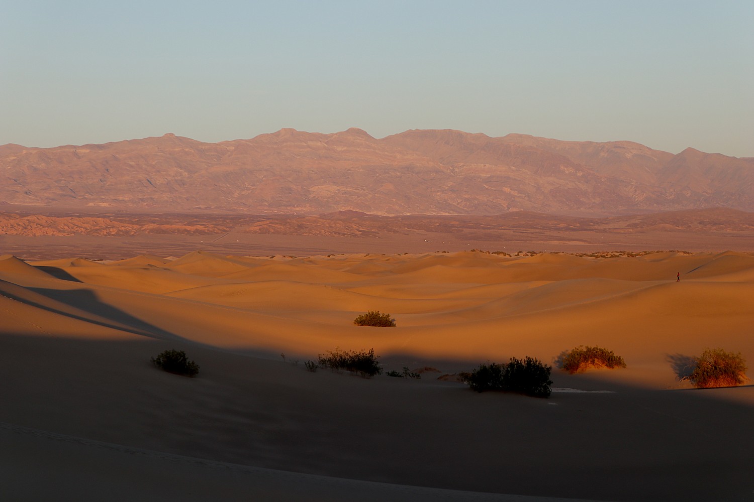
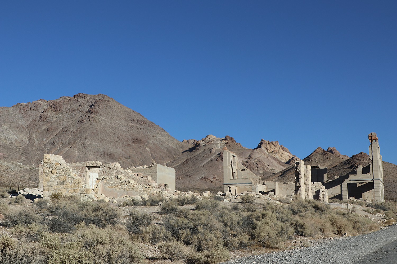
Frontier Islands: Rugged Archipelagos as the New Darling: Moving beyond classic island escapes, travelers are gravitating toward rugged, culture-rich archipelagos, places defined by dramatic cliffs, volcanic ridges, fishing villages and wide-open trails. These “frontier islands” appeal to active travelers seeking big scenery, epic hiking, cooler climates and a sense of remoteness that traditional beach islands can’t deliver.
What’s Trending? Backroads Canary Islands, Cyprus, Denmark Islands, Lofoten Islands and Portugal’s Azores Trips.
Trip Stacking, On and Off-Season: Travelers are increasingly “stacking” their journeys by booking back-to-back trips or even three-stop itineraries to maximize a single long-haul flight. This reflects a growing shift toward sustainable, efficient travel, where guests make the most of every mile and every moment away. Off-season exploration is also on the rise, with more travelers heading out earlier in spring, later in fall and throughout the winter for a fresh take on familiar places. Backroads has seen a more than 6% increase in guests booking consecutive trips since the pandemic, with continued growth projected on the horizon.
What’s Trending? Backroads Norway, Japan and Spain Trips.

Active Culinary Travel Takes Off: Blending outdoor activity with regional food and wine experiences is a travel style that continues to grow as travelers seek culturally rich, experiential trips. From cooking classes and local farmers market visits to stays at Relais & Châteaux properties, Backroads Active Culinary Trips that unite adventure, flavor and luxury are gaining momentum across key regions.
What’s Trending? Backroads Basque Country, Tuscany and Provence Trips.
Sleeping in Huts & Mountain Lodges Is In: Travelers are increasingly choosing mountain lodges and huts and historic hideaways, especially in off-the-beaten-path destinations. Bookings for these laid-back, comfortable stays are surpassing expectations and up more than 170% since 2024, as guests seek accommodations that capture the essence of a place and seamlessly blend activity, discovery, relaxation, sustainability and wellness. Travelers can find these authentic stays on many Backroads trips including Hut-to-Hut and Lodge-to-Lodge offerings.
What’s Trending? Backroads Dolomites Hut-to-Hut, French & Italian Alps Lodge-to-Lodge and Pyrenees Lodge-to-Lodge Trips.
“We’re seeing a clear trend of guests using travel as a way to connect with like-minded travelers, with local communities, with the environment and, ultimately, with themselves,” said Tom Hale, Backroads Founder, President and CEO. “Active travel is becoming part of the rhythm of their lives, and they like creating that rhythm on their own terms, now and into the future.”
What does adventure tourism look like in 2026? Active travel blends movement, connection and wellness to create meaningful, authentic vacation experiences. In response to this growing demand, Backroads enters 2026 with new itineraries, new destinations and expanded trip categories, along with anticipated growth of more than 10%, nearly double its post-pandemic pace. Learn more about Backroads at www.backroads.com or call 800-462-2848.
Soft Adventure
Travelers are seeking out accessible, lower-risk activities that cater to a wider demographic, including multi-generational families and first-time adventurers. This demand is strongest for holidays that successfully blend active elements—like hiking, trekking, and biking—with comfortable, enriching cultural experiences. Here is a sampling of “soft adventure” travel experiences:

Boat and Bike Europe: From Amsterdam to Paris: Bike past windmills in the Dutch countryside, sip Belgian beer on a historic square, and enjoy the French capital’s grand boulevards while traveling at a relaxed, enriching pace on Boat Bike Tours’ new 10-day tour from Amsterdam to Paris. Along the way, settle into modern, comfortable accommodations aboard the new Magnifique X barge, with extensions available in both major cities (https://www.boatbiketours.com/tours/through-europes-heartland-between-amsterdam-and-paris/)
Hike and Cruise Turkey: The Carian Coast: Follow the herb-lined footpaths and ancient roads of the Carian Trail on a new, 15-day tour from Peter Sommer Travels. Hike through hills swathed in pine and olive to atmospheric ruins, then enjoy comfortable accommodations and transportation among the deep inlets and secluded coves offshore aboard a traditional, stylish gulet while cruising the beautiful, remote Carian Coast. (https://www.petersommer.com/tours/walking-carian-trail-turkey-extended)

High Andes and Salt Flats: Peru and Bolivia Adventure: Explore the iconic natural and cultural wonders of the Andes on an accessible journey spanning Peru and Bolivia. Traverse the Uyuni Salt Flats, visit Indigenous communities on the shores of Lake Titicaca, and experience historic Incan sites of the Sacred Valley, all from carefully selected, comfortable accommodations that prioritize local authenticity and high quality (https://www.gondwanaecotours.com/adventure-tours/peru-bolivia-from-salt-flats-to-sacred-lakes-adventure/)
Singletrack in the Dakotas: Maah Daah Hey Mountain Biking: Pedal through the wild, rugged terrain of the North Dakota Badlands on the legendary Maah Daah Hey Trail. This guided mountain biking tour covers the most scenic singletrack sections, with full support, catered meals, and comfortable nights spent glamping under the vast, starry skies, offering an immersive national park experience without the crowds (https://escapeadventures.com/tour/maah-daah-hey-singletrack-mountain-bike-tour/)
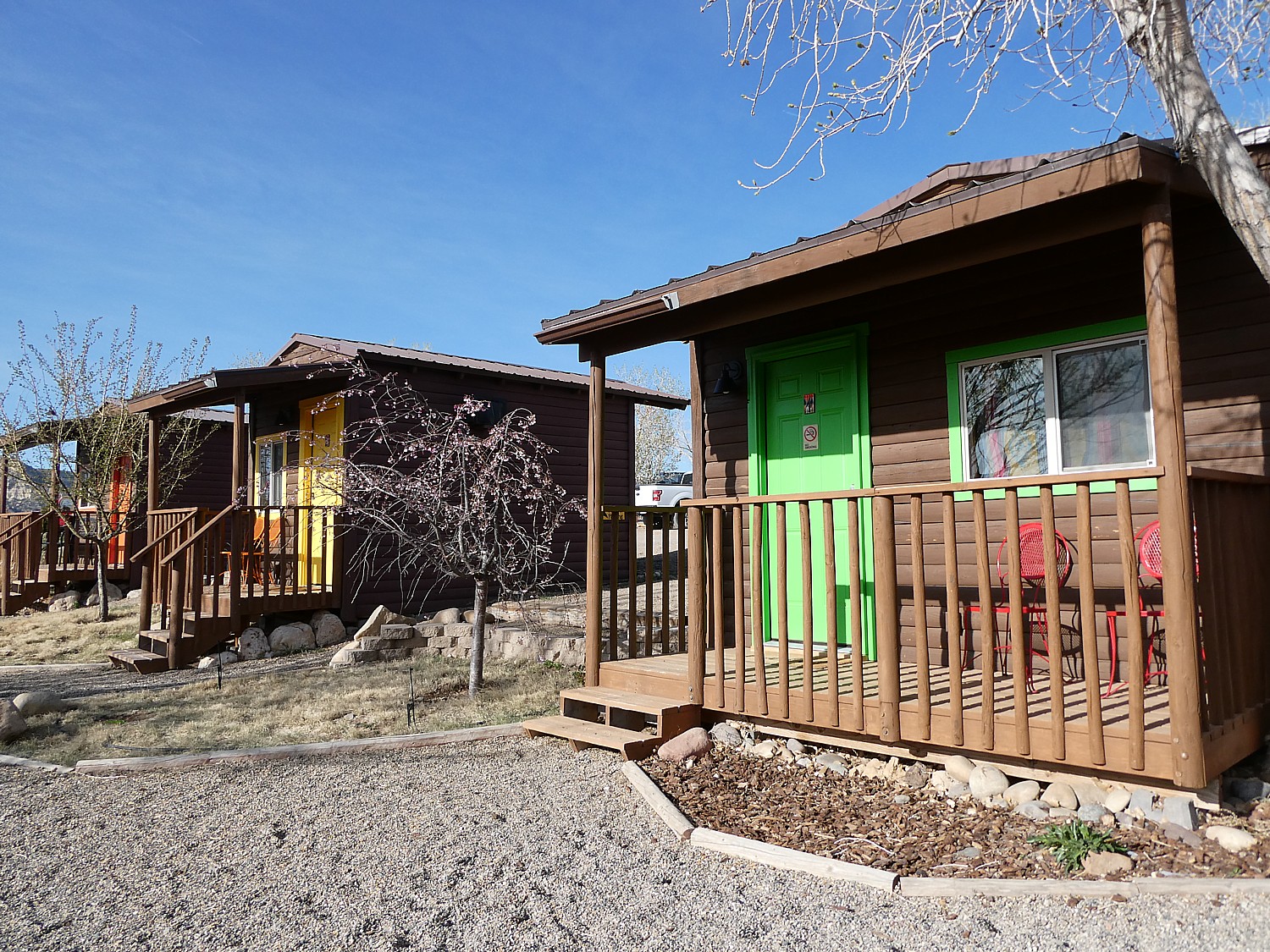
Dude Ranch with History: Rancho de la Osa, Arizona: Celebrate the centennial of the dude ranching industry in 2026 with a stay at Rancho de la Osa, a ranch welcoming guests for over 100 years. Explore the high desert south of Tucson, Arizona, on horseback, riding trails frequented by U.S. presidents and legends, then enjoy a cool drink in the Cantina, a building that dates to 1722, and put up your feet in colorful Southwestern accommodations (https://www.ranchodelaosa.com/)

Scalesia Lodge: Galapagos Island Basecamp, Ecuador: Located on Isabela Island in the Galápagos, this lodge is designed as a sustainable and stylish base for exploring the unique wildlife and geology of the archipelago. Activities include accessible volcano hikes and snorkeling with sea lions, delivered with high-touch service while guests stay in elevated, spacious, geodesic dome tents with private balconies (https://www.scalesialodge.com)

Bear Viewing and Kayaking: Kenai Peninsula, Alaska: Witness the extraordinary sight of brown bears catching salmon at the famed Brooks Falls and explore the stunning fjords of Kenai National Park on a multi-day wildlife tour. This package is ideal for nature lovers seeking close-up wildlife encounters without the strenuous demands of deep backcountry trekking, offering scenic kayaking floats and comfortable lodge-style accommodations each night (https://www.gondwanaecotours.com/adventure-tours/kenai-brooks-falls-grizzly-bear-tours-alaska/)
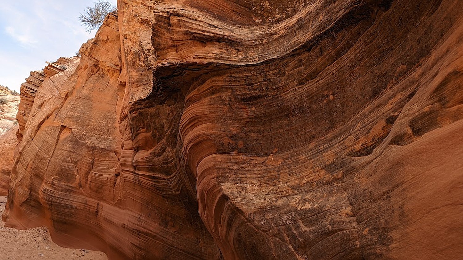
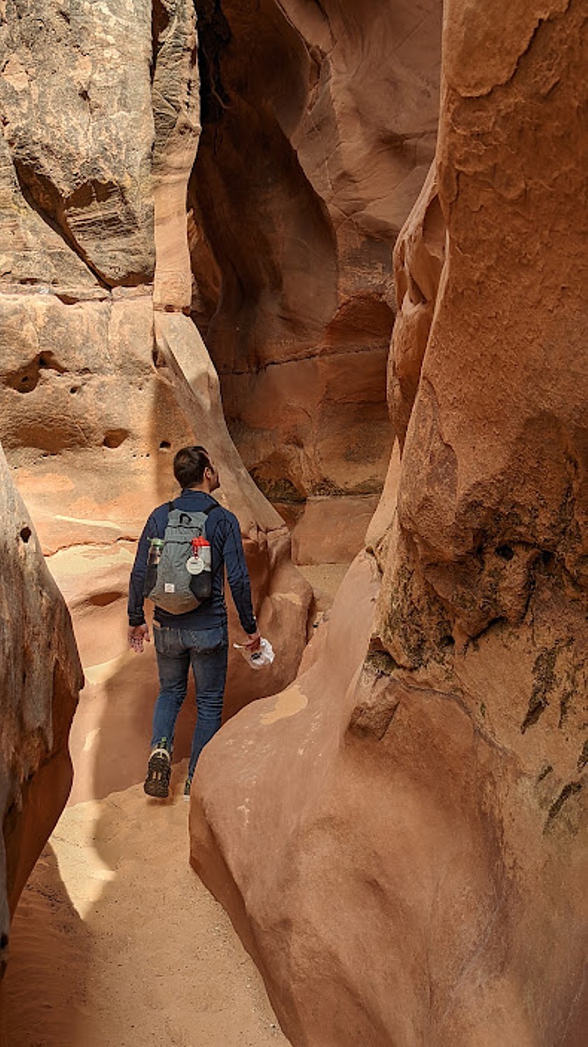
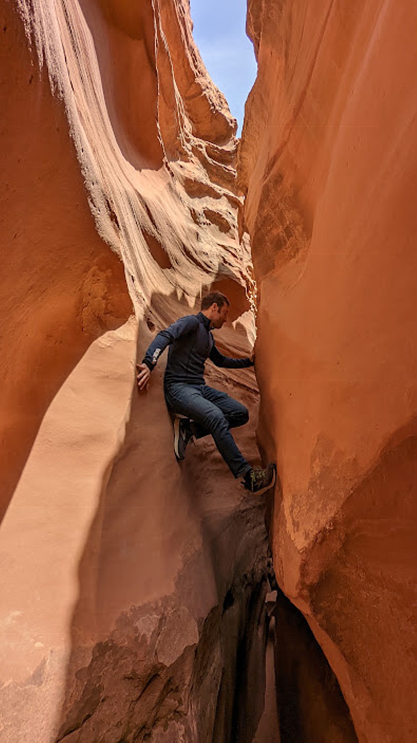
Human-Powered Adventures to Reset Your Internal Clock
In an era of hyper-connectivity and AI-driven schedules, the greatest luxury isn’t a faster Wi-Fi signal, it’s the ability to disconnect. Human-powered travel is the breakout trend of 2026, trading engines for oars, pedals, and hiking boots. By moving at the speed of your own heartbeat, the landscape shifts from a blur outside a window to an immersive, sensory experience.
From the rugged coast of Tasmania to the quiet trails of Slovenia, here are a few ways to power your own adventure:
The Lakeside Loop: Eurobike (Lake Garda, Italy): Experience Italy’s famous lake at a pedal stroke’s pace. Eurobike offers a charm tour around Lake Garda, combining active days on the bike with stays in high-end accommodations. Cycling through olive groves and lakeside vineyards provides a sensory reset that no high-speed train could ever replicate.
The Slovenian Summit: Eurohike (Alpe-Adria-Trail): Walking is the ultimate analog movement. Eurohike takes you to the heart of the Julian Alps on a 7-day trek along the Alpe-Adria-Trail. Moving through Slovenia’s emerald Soča Valley and high-altitude mountain pastures, this journey is designed to synchronize your pace with the natural world.
The Alpine Cycle: Ride & Seek (Australia): Forget the tour bus; the only way to truly reset across the diverse landscapes of the Southern Hemisphere is on two wheels. Ride & Seek has launched an epic journey from Sydney to Hobart, crossing the Bass Strait to tackle the wild, winding roads of Tasmania. It is a test of endurance that rewards you with untouched coastal views and a profound connection to the rugged terrain.
More active/adventure tour companies:
Active Adventures, activeadventures.com
Austin Adventures, austinadventures.com
Butterfield & Robinson, butterfield.com
Duvine Cycling + Adventure co., duvine.com
EF Go Ahead Tours, goaheadtours.com
Exodus Adventure Travels, exodustravels.com
Explorateur Journeys, explorateurjourneys.com
G Adventures, gadventures.com
Inspiring Vacations, inspiringvacations.com
Intrepid Travel, intrepidtravel.com
Lindblad Expeditions, expeditions.com
Nat Geo Expeditions, nationalgeographic.com
Overseas Adventure Travel, oattravel.com
Pure Adventures, pure-adventures.com
Sierra Club, outings.sierraclub.org
VBT/Country Walkers, vbt.com
Wilderness Travel, wildernesstravel.com
Wild Frontiers, wildfrontierstravel.com (March special: Wild Frontiers is offering up to 100% off single supplement for solo travelers on select 2026-2027 departures)
__________________
© 2026 Travel Features Syndicate, a division of Workstyles, Inc. All rights reserved. Visit goingplacesfarandnear.com and travelwritersmagazine.com/TravelFeaturesSyndicate/. Blogging at goingplacesnearandfar.wordpress.com and moralcompasstravel.info. Visit instagram.com/going_places_far_and_near and instagram.com/bigbackpacktraveler/ Send comments or questions to FamTravLtr@aol.com. Bluesky: @newsphotosfeatures.bsky.social X: @TravelFeatures Threads: @news_and_photo_features ‘Like’ us at facebook.com/NewsPhotoFeatures