By Karen Rubin, Travel Features Syndicate, goingplacesfarandnear.com
Travelers are increasingly mindful of their responsibility in preserving and protecting the people, the environment, and the ecosystems of the places they visit and are actively seeking out travel entities – transportation, hospitality, dining, attractions, and destinations – that incorporate sustainable, responsible practices.
Here’s a sampling of how cruises and resorts are not just implementing but also modeling conservation, preservation and regenerative practices, while the revenue from tourism helps fund and sustain these programs.
Cruising

Havila Voyages, the Norwegian coastal operator, recently completed a historic 12-day voyage aboard its Havila Polaris, powered by biogas, reducing CO₂ emissions by more than 90%. Combined with the fleet’s advanced battery systems which enable ships to sail for up to four hours with zero emissions, Havila is demonstrating that cleaner, quieter travel at sea is ready to scale for the future. Silent, low-emission cruising allows access to fragile areas like the UNESCO-listed Geirangerfjord without environmental harm, while journeys along Norway’s 34-port coastal route connect travelers to authentic communities through more than 70 immersive excursions, from dogsledding to Sámi cultural experiences. Its “Havila Food Stories” program partners with local producers and serves seasonal, à la carte menus that have reduced food waste to just 69 grams per guest per day, cutting more than 60 tons annually. With ships designed for future hydrogen conversion and a goal of fully climate-neutral operations by 2028, Havila Voyages offers a compelling example of how responsible travel and bucket-list experiences, from Northern Lights viewing to the Midnight Sun, can go hand in hand.
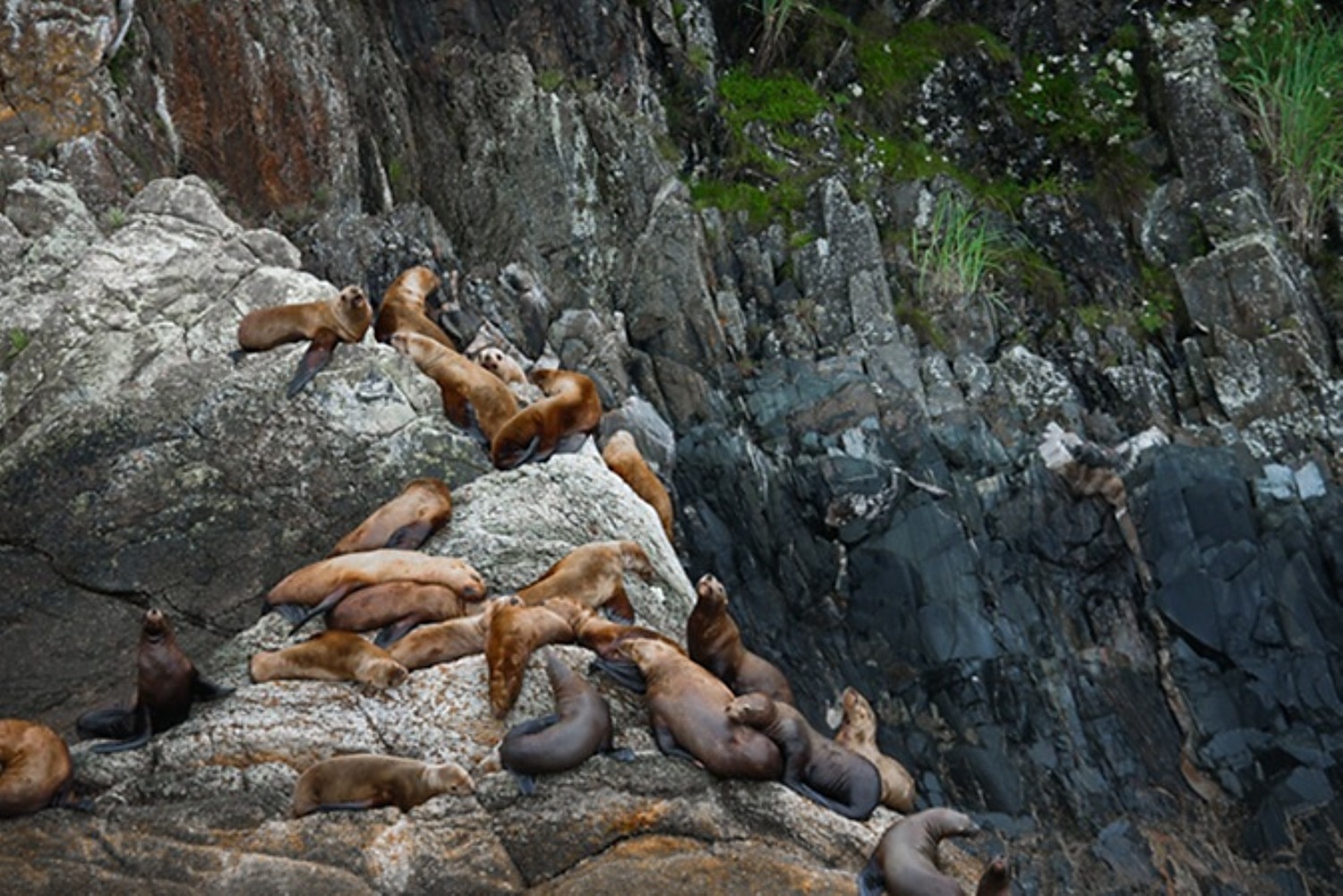
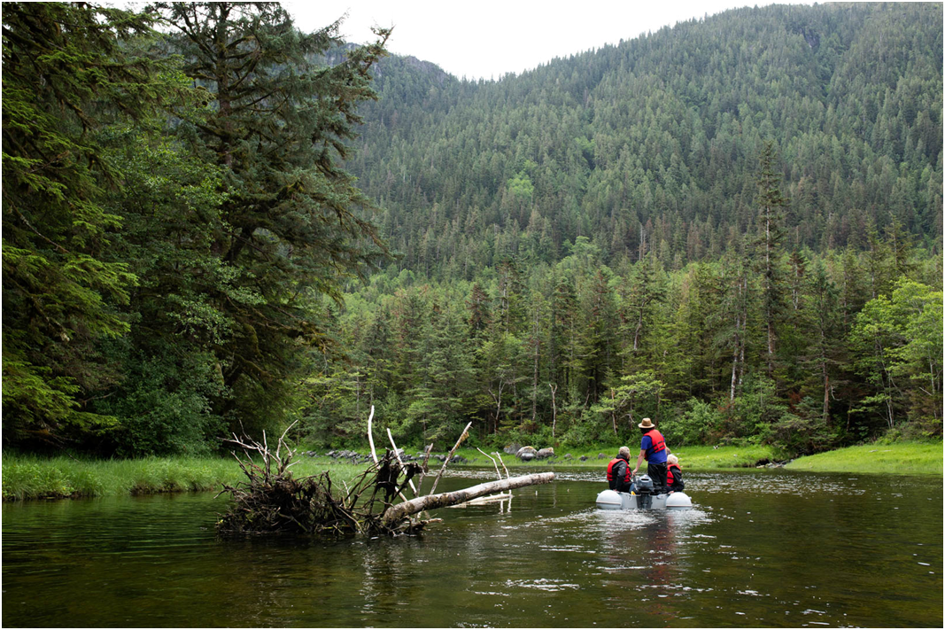
While sustainable tourism focuses on minimizing the impacts travelers have on a community or ecosystem, regenerative tourism goes a step further with a focus on making destinations better than they were. That has been the mission of The Boat Company– one of the world’s only non-profit cruise companies – since its founding 46 years ago. All of The Boat Company’s proceeds (beyond operating expenses) from its week-long expeditionary cruises between Sitka and Juneau through Alaska’s Inside Passage are reinvested back into conservation initiatives (theboatcompany.org, 360-697-4242).
Boating and Biking Egypt: The Nile’s Hidden Banks: This tour blends slow, low-impact travel with active exploration, exploring by e-bike small villages and immense monuments rarely seen and sailing aboard an all-suite ship: https://www.boatbiketours.com/tours/egypt-the-nile-a-journey-to-ancient-wonders/]
Hospitality
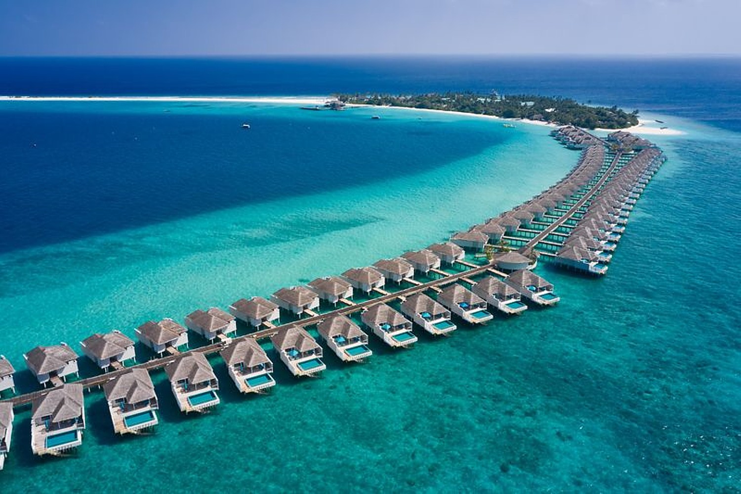
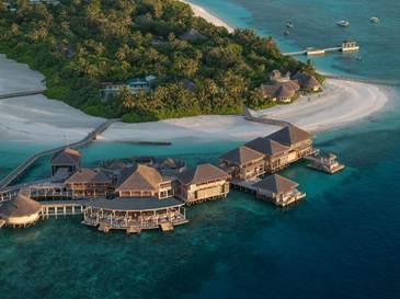
Set within the UNESCO Biosphere Reserve Baa Atoll in the Maldives, Finolhu, a Seaside Collection Resort is committed to safeguarding one of the world’s most delicate and vibrant marine ecosystems. Designated a UNESCO Biosphere reserve in 2011, Baa Atoll is one of the most biodiverse marine environments on earth – home to over 250 coral species, more than 1,200 fish species, and the world’s largest known aggregation of manta rays at nearby Hanifaru Bay. Its location above a deep ocean channel creates nutrient-rich currents that attract whale sharks, dolphins and sea turtles year-round, making it one of the few places on the planet with this level of protected aquatic abundance. As part of a UNESCO-protected biosphere, Finolhu is largely self-sufficient. Guests can do their part in making a difference by joining the Coral Reef Propagation Project, led by the resort’s resident marine biologist, which aims to rebuild the resort’s reef; ocean clean-ups conducted in partnership with Parley for the Oceans; and Citizen Science programs and megafauna dives, which help track individual animals and contribute to ongoing marine research.
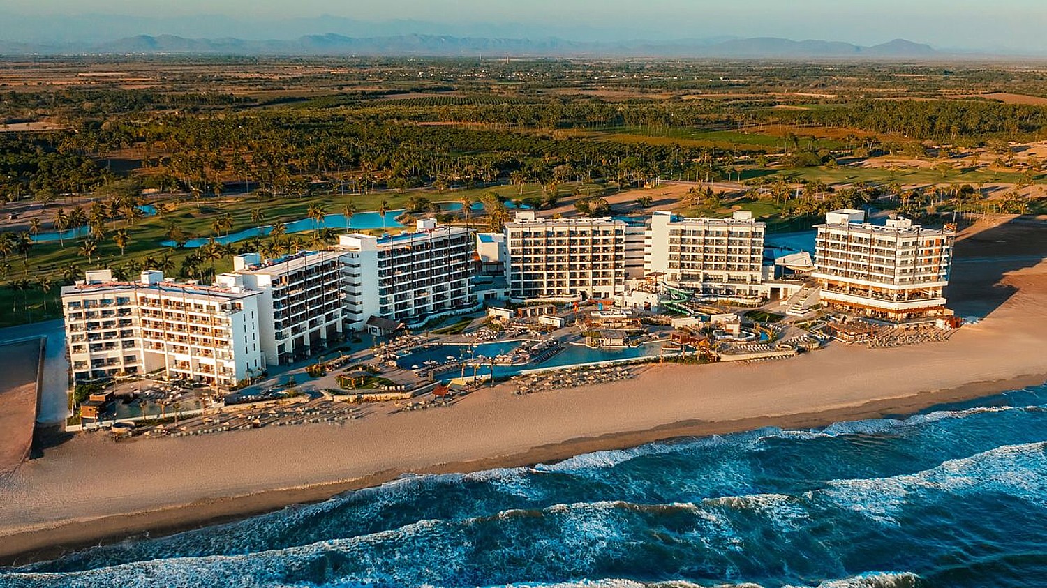
The first Hyatt-branded property in Mazatlán, Mexico, Dreams Estrella del Mar Mazatlán Golf & Spa Resort, has earned the prestigious Platinum Beach Certification for its sustainably maintained shoreline and partnership with local, environmentally responsible suppliers. The resort has also implemented water-saving technologies including aerators and automatic flushers, energy-efficient systems like heat recovery equipment and LED lighting, reduced plastic use, and landscaping with endemic plants to support local biodiversity. The resort plays an active role in conservation through its on-site turtle sanctuary, where guests can participate in the protection and preservation of these remarkable animals.
Secrets Bahia Mita Surf & Spa Resort, Rivera Nayarit, Mexico, is an eco-conscious, adults-only, all-suite all-inclusive resort. Nestled between the golden sands and surf-friendly beaches of Banderas Bay and the lush Sierra Madre Mountains, it offers an unplugged, nature-focused getaway. On property, an organic garden and farm supply fresh herbs, produce, and eggs to the resort’s restaurants, reinforcing its sustainable ethos. The resort also supports the local community through its “World of Care” program, donating food and supplies to Wet Nose Rescue and caring for rescued animals, among them, Joker, the resort’s adopted dog and mascot. In addition, the hotel sponsors a local primary school, with team members supporting students through gifts, monthly visits, and meaningful activities.
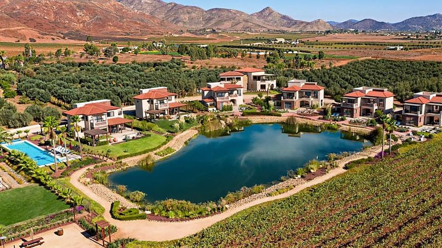
Located in the heart of Valle de Guadalupe, B.C., El Cielo Resort & Winery pairs luxurious vineyard accommodations with a commitment to sustainable hospitality. Guests stay in Tuscany-inspired villas, enjoy farm-to-table dining, and explore the property’s organic vineyards while supporting eco-conscious practices woven throughout the resort experience. Sustainability initiatives include pioneering solar energy as one of the first wineries in the region to install solar panels, cultivating grapes without synthetic pesticides to preserve soil health and biodiversity, and utilizing trained Harris’ Hawks as a natural, chemical-free vineyard protection. The resort also captures rainwater in custom-built reservoirs to support sustainable irrigation and create habitats for migratory birds, alongside additional environmentally mindful touches such as lightweight wine bottles, natural corks, water treatment systems, and LED lighting designed to reduce light pollution.
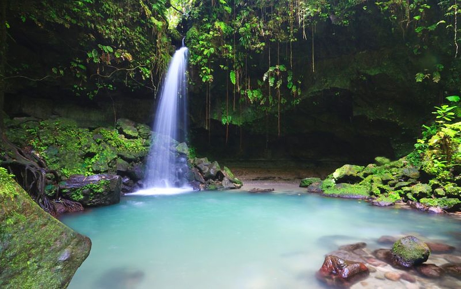
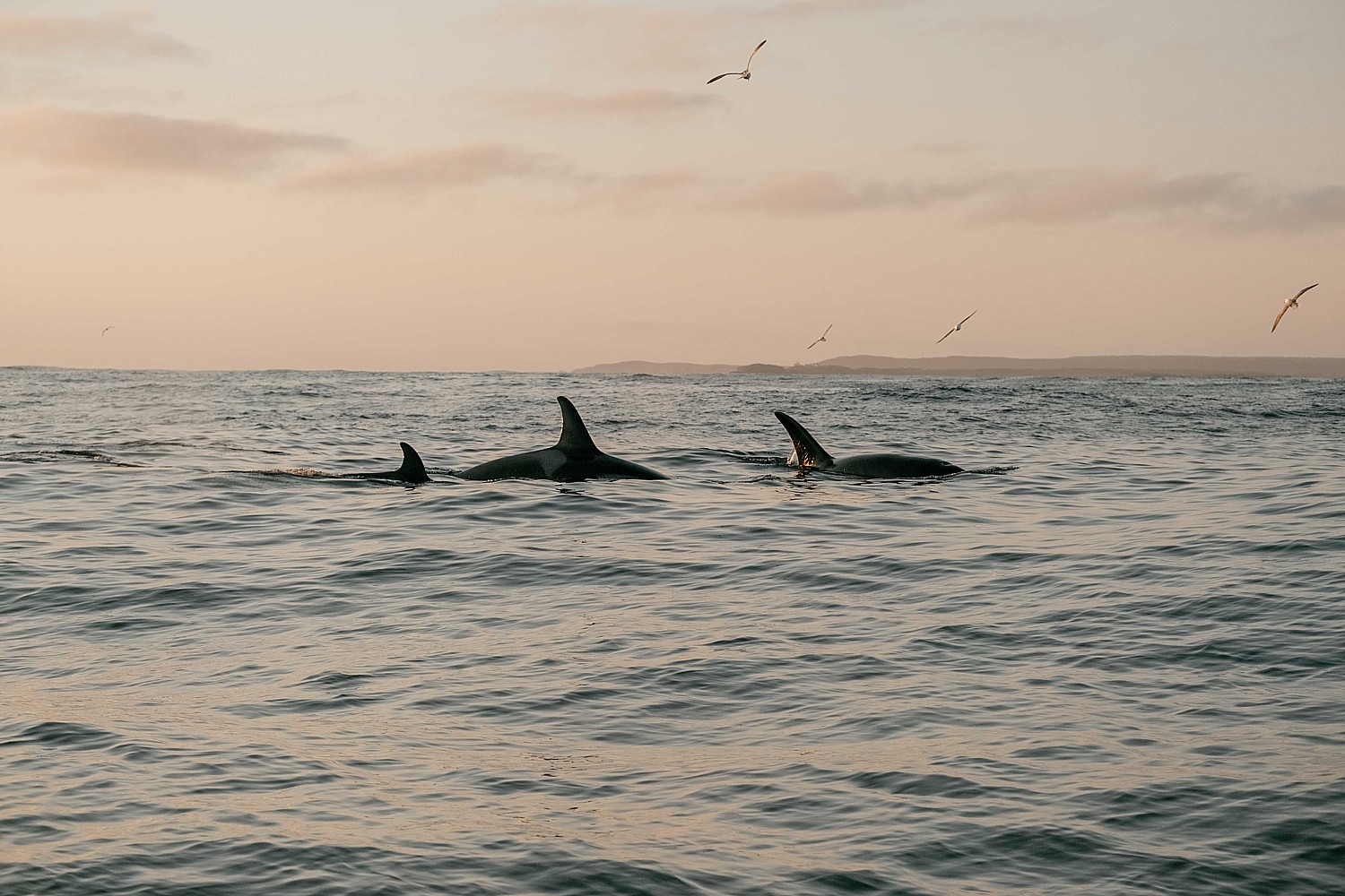
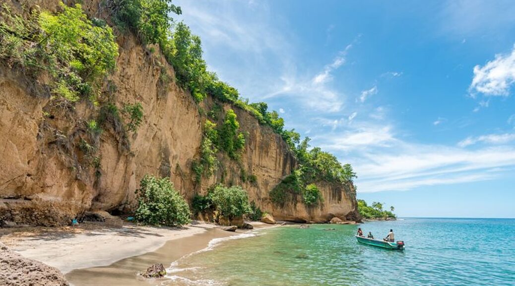
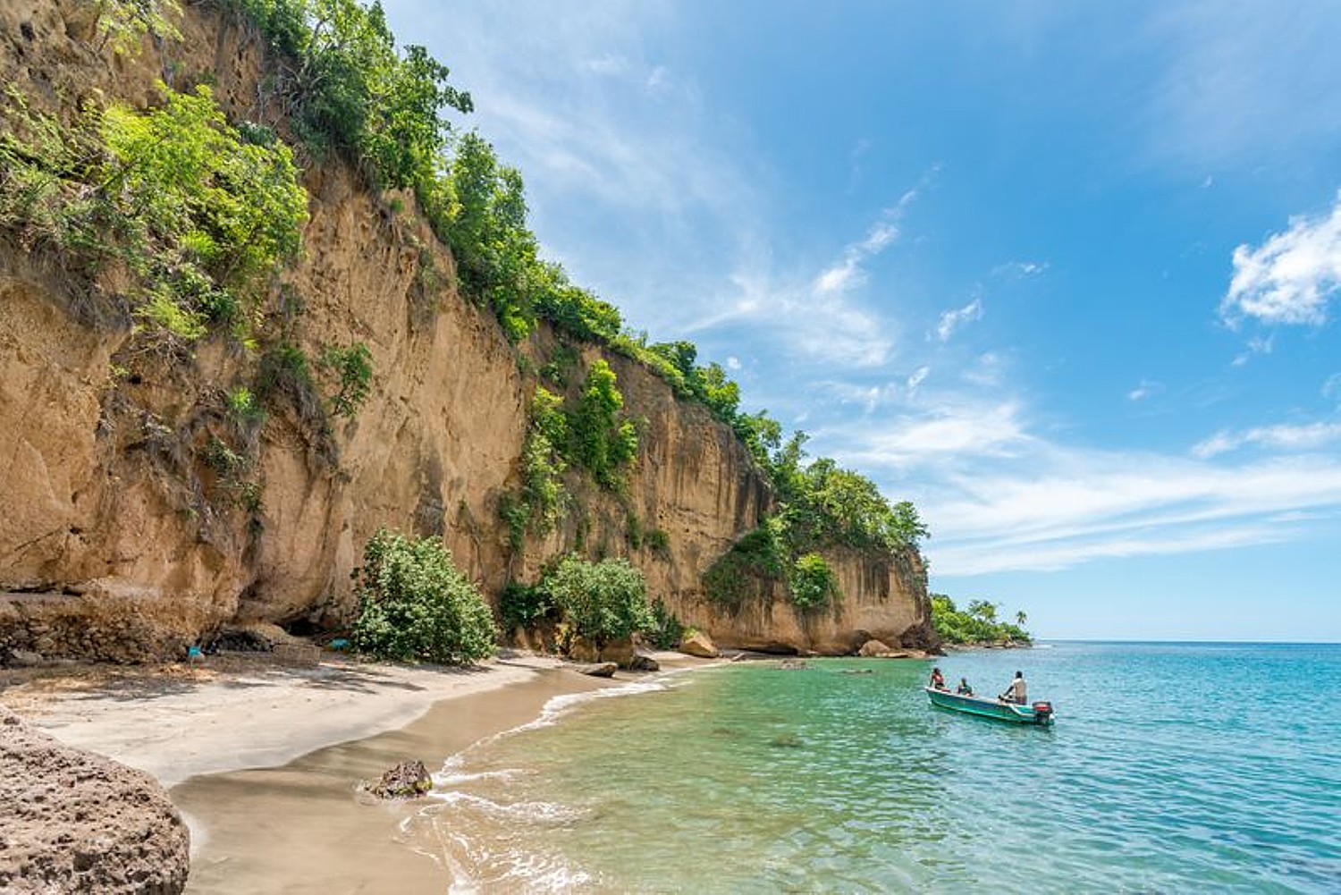
Dominica, the “Nature Island of the Caribbean,” continues to lead the way in eco-conscious travel, integrating sustainability into everyday life. Offering a balance of preservation and experience, Dominica is a model for sustainable tourism in action. Visitors can explore the UNESCO-listed Morne Trois Pitons National Park, engage in conservation efforts and discover the island’s rich cultural heritage. Through a blend of community-led conservation, innovative eco-luxury and immersive nature experiences, the island offers travelers meaningful ways to connect with and support the environment. Visitors can take part in hands-on conservation experiences like sea turtle nesting season at Rosalie Bay and join rare, responsibly guided encounters with resident sperm whales through Secret Bay’s Swimming with the Whales & Marine Safari, supported by the world’s first marine protected area dedicated to the species. Across the island, eco-forward properties like Coulibri Ridge and Secret Bay continue to redefine sustainable luxury, complemented by low-impact activities such as guided e-bike tours and cultural experiences like the Roseau History Tour; Sea Cliff Eco Cottages’ offers “garden-to-glass” Cocoa Martini, crafted using upcycled cacao husks in partnership with a local chocolate producer. Dominica also has one of the Caribbean’s most diverse and untouched trail systems. Its annual Hike Fest invites travelers to explore iconic landscapes, from Boeri Lake and Chemin Létang to the legendary Boiling Lake, through guided hikes taking place on Saturdays in May.
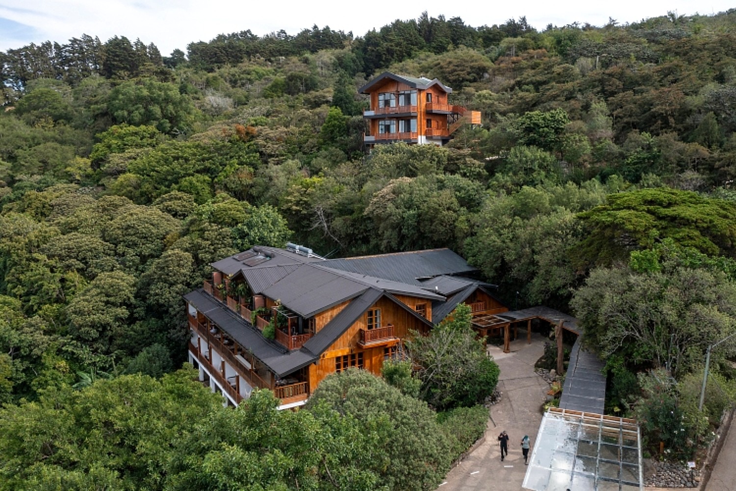
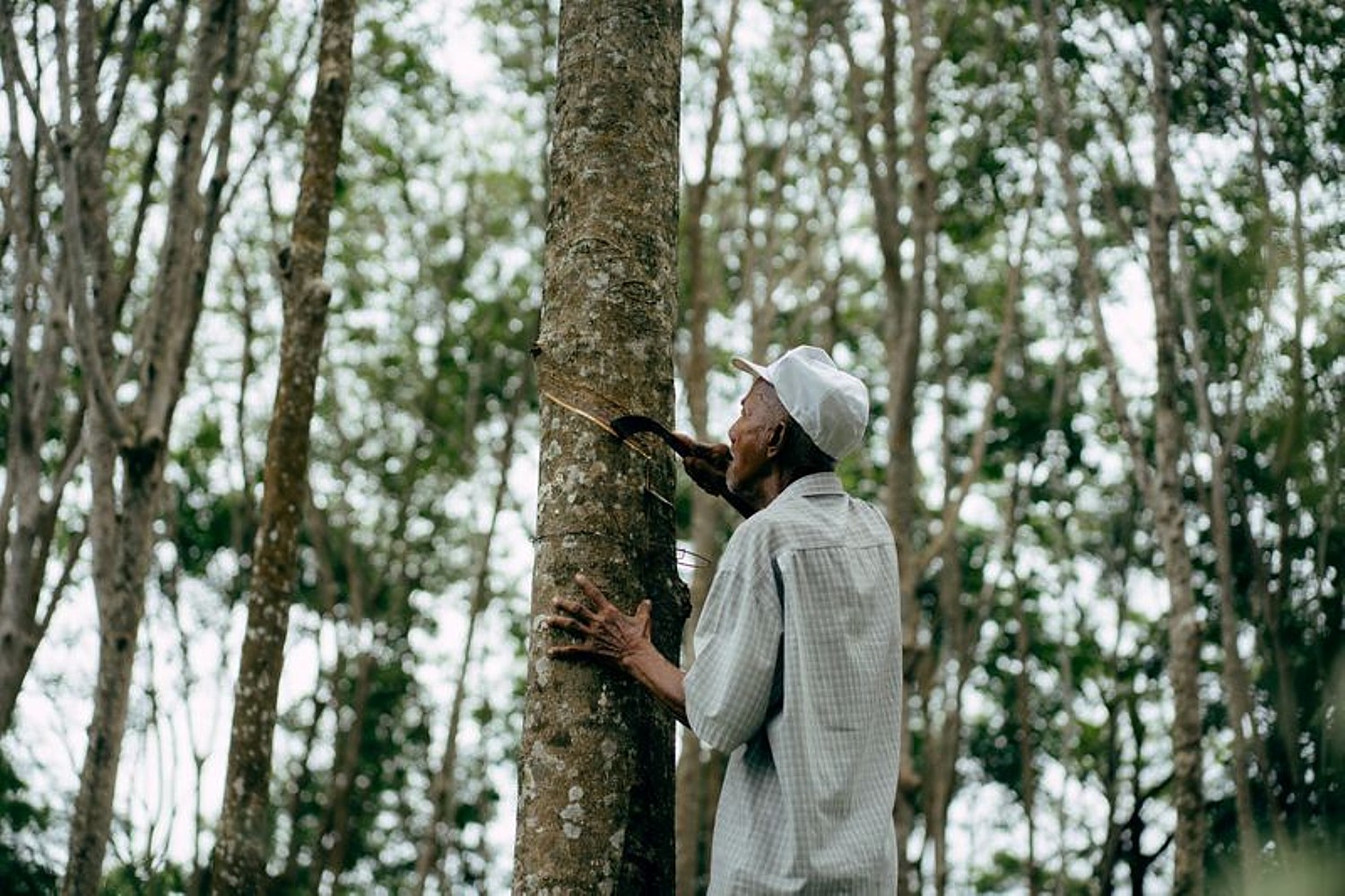
High in Costa Rica’s cloud forest where regeneration is visible and measurable, Hotel Belmar is a family-owned icon. Finca Madre Tierra, recognized as Costa Rica’s first carbon-neutral farm, supplies eggs, dairy, shade-grown coffee, sugarcane, and seasonal produce to the hotel. Guests can visit milk cows, learn cheese-making, pick coffee, and press sugarcane, deepening their connection with Monteverde’s agricultural traditions. On property, Belmar closes the loop through composting and a biodigester that turns organics into clean gas, making farm‑to‑table‑to‑farm a daily practice. Sustainability in practice: Belmar’s bio-intensive garden plots feed regenerative dining, garden-to-glass mixology that replaces bottled inputs, a plastic-free bar program, environmentally preferable products, and an air‑dry laundry solarium that reduces energy consumption. Rooms and shared spaces rely on beautifully crafted furnishings, supporting regional makers while celebrating Monteverde’s woodworking heritage and its long tradition of forest-based craft. In the forest, SAVIA employs local forest mobility experts, uses tree-friendly anchoring with high-tension ropes and cables rather than bolts, and offers themed expeditions from dawn birding to nightfall canopy study, creating paid interpretive work while keeping impact light in a rare ecosystem known for exceptional biodiversity.
Guests can also participate in programming like Monteverde Exploration with local guides and farm-to-table experience which generate income to farmers, educators, and naturalists and sends guests home with transferable skills in composting, pickling and planning. Every stay helps to underwrite a year-round economy tied to food, music, ecology, and science, supporting both the local community and the surrounding forest. Multigenerational ties to local farmers, craftspeople, guides, and musicians help sustain the region’s distinctive culture, creating a shared ecosystem of livelihoods that strengthens the surrounding community while helping to protect the cloud forest’s special environment. The hotel’s Artist Residency Program further expands this cultural exchange, inviting artists to spend time on the property and develop new work inspired by the cloud forest (hotelbelmar.net).
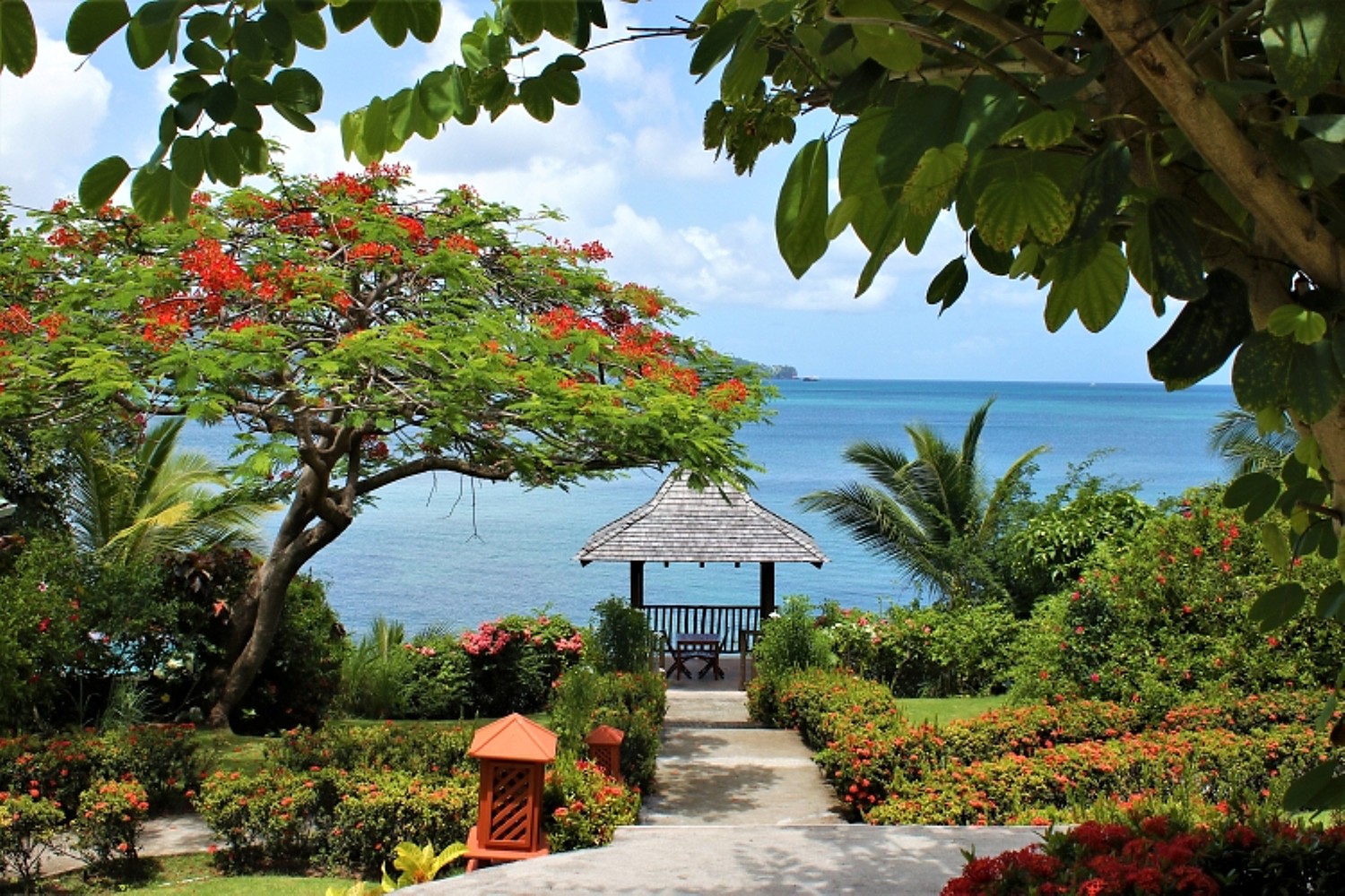
Set on a secluded hillside overlooking Bonaire Bay along Saint Lucia’s biodiverse northwestern coast, Calabash Cove Resort & Spa integrates regenerative, low-impact operations into its boutique, adults‑only experience. The resort maintains a strict plastic-free policy, eliminating disposable containers and using recycled-material lunch boxes and biodegradable straws. All hot water is solar‑heated, lighting relies on LEDs, and an on-site water‑treatment plant recycles water for irrigation. Guests receive a free reusable aluminum bottle on arrival, with free still or sparkling water refills throughout their stay to eliminate disposable bottles. Local farms supply produce and seasonal vegetarian and vegan menus highlight Saint Lucia’s ingredients while reducing the footprint of higher‑impact foods. Kitchen oils are collected and repurposed to heat laundry water, further reducing external energy demand.
Sustainability in practice: Closed‑loop practices underpin daily operations. Grass cuttings are mulched and composted, kitchen scraps are sent to a local pig farmer, and rainwater is collected for property use. Timers on pool pumps help reduce energy demand and mosquito fogging has been discontinued to allow local birdlife to flourish. Marine stewardship includes reef and turtle‑protection training led by Saint Lucia’s Fisheries Department, where staff learn to identify nesting periods, safely relocate eggs, and tag previously untracked turtles to support long‑term conservation monitoring. Landscaping is maintained by on‑staff gardeners who prioritize native vegetation and habitats, supporting wildlife that thrives along the cove’s protected shoreline. The resort’s intimate 26‑room scale keeps impact low while enabling meaningful guest participation through beach cleanups, nature-positive activities, and plant-forward dining (calabashcove.com).

Set on 20 oceanfront acres on Ambergris Caye, Alaia Belize, Autograph Collection offers an upscale base for exploring one of the Caribbean’s most ecologically diverse destinations. Guests can snorkel the protected Hol Chan Marine Reserve, visit Caye Caulker, and explore the ancient Maya site of Xunantunich, all through curated, conservation-minded excursions.
Sustainability and community-driven practices are woven throughout Banyan Tree Phuket, Thailand, nestled between white sandy beaches and coconut groves. Guests can participate in the resort’s sustainable initiatives, such as a visit to the Phuket Elephant Sanctuary, sustainable beach cleaning and cooking classes that promote sustainability and community engagement.
Six Senses Laamu is celebrating the impact of its Sea Hub of Environmental Learning in Laamu, the “SHELL.” This2,336-square-foot marine education and conservation center offers guests and local communitiesimmersive experiences with the local marine environment, including coral regeneration, seagrass conservation, and sea turtle research. Through the Maldives Underwater Initiative (MUI), the SHELL hosts a dedicated team of marine biologists working with partner NGOs including Manta Trust, Blue Marine Foundation, and Olive Ridley Project. Together they have grown over 10,000 baby corals across five species, released more than 12 million coral larvae onto the resort’s house reef, and conducted genetic studies of sea turtles.The team has also cataloged over1,000 turtles and 140 manta rays in Laamu Atoll, contributing to scientific research and publications.
Six Senses Kanuhura launched Kanuhura Coral Census, thefirst long-term 3D reef monitoring program implemented by a resort globally. It usesadvanced imaging and AI to create living digital replicas of coral reefs, offering a deeper understanding of reef health, biodiversity, and resilience. These insights help guide a more mindful, long-term approach to reef restoration, ensuring that the surrounding ecosystems continue to thrive for generations to come.

Imperial Hotels across Japan’s heritage cities – Tokyo, Kamikochi, Osaka, Kyoto – align heritage with sustainability. Imperial Hotel Tokyo has reduced plastics by 87.7 percent versus 2019, reducing 13.9 tons by shifting amenities to bamboo, wood, and biomass and replacing PET with paper cartons; it operates on 100 percent CO2-free electricity and advances circularity through recycling loops that turn coffee grounds into cattle feed and repurchase the resulting milk, while used cooking oil becomes Sustainable Aviation Fuel. The Osaka hotel reinforces circularity by turning kitchen waste into fertilizer and buying back vegetables grown with it and supports EV drivers with charging stations.
Imperial Hotel Kyoto, which opened March 5, 2026 inside the restored Yasaka Kaikan in Gion, preserves its cultural fabric through adaptive repurposing and reusing more than 16,000 tiles to reduce construction impact while sustaining local craftsmanship. The property supports living culture through performances. Craft atelier visits, including an imperial doll workshop, ensure fees reach local artisans. Community engagement includes food education in schools, cleanup activities in Osaka and Kamikochi; disaster support agreements in Tokyo and Osaka provide shelter for stranded residents and travelers. Imperial Hotel Kamikochi runs on net zero CO2 energy using regional hydropower and offsets, encourages refills with a lobby spring water fountain, and has reduced plastics by roughly 90 percent through amenity changes. Conservation work with the Kamikochi Beautification Association supports stewardship of the national park.
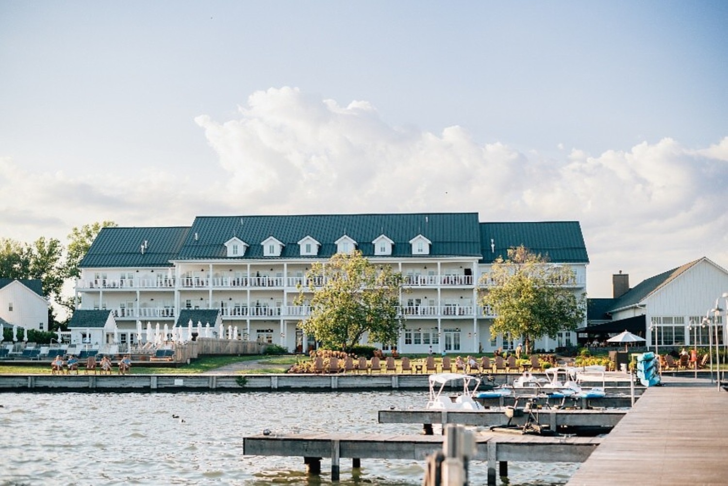
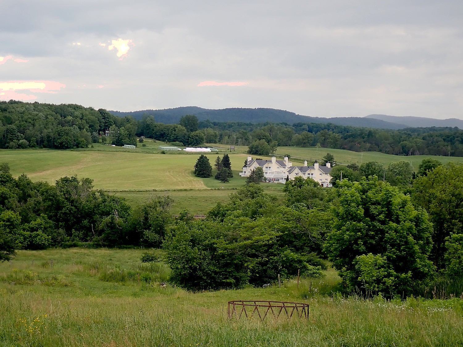
The Lake House on Canandaigua, a luxury hotel in the Finger Lakes, has earned a Beyond Green certification – the only hotel in New York State to receive the recognition – joining a global portfolio of hotels recognized for advancing sustainability, environmental stewardship and meaningful community connection. Operated by Preferred Travel Group, Beyond Green is a curated collection of hotels and resorts committed to responsible travel worldwide. Member properties are vetted against more than 50 sustainability indicators aligned with the best global practices and the United Nations Sustainable Development Goals, recognizing places where sustainability is deeply embedded in both philosophy and practice (lakehousecanandaigua.com).
See also:
Mindful Travelers Seek Out Responsible, Sustainable Travel Providers
__________________
© 2026 Travel Features Syndicate, a division of Workstyles, Inc. All rights reserved. Visit goingplacesfarandnear.com and travelwritersmagazine.com/TravelFeaturesSyndicate/. Blogging at goingplacesnearandfar.wordpress.com and moralcompasstravel.info. Visit instagram.com/going_places_far_and_near and instagram.com/bigbackpacktraveler/ Send comments or questions to FamTravLtr@aol.com. Bluesky: @newsphotosfeatures.bsky.social X: @TravelFeatures Threads: @news_and_photo_features ‘Like’ us atfacebook.com/NewsPhotoFeatures