By Karen Rubin, Travel Features Syndicate, goingplacesfarandnear.com
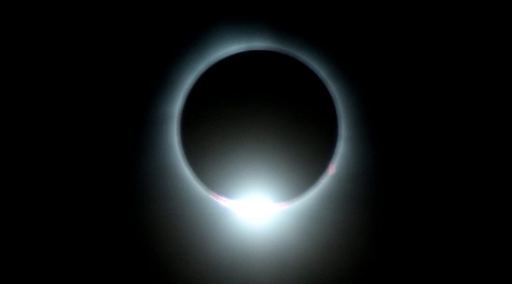
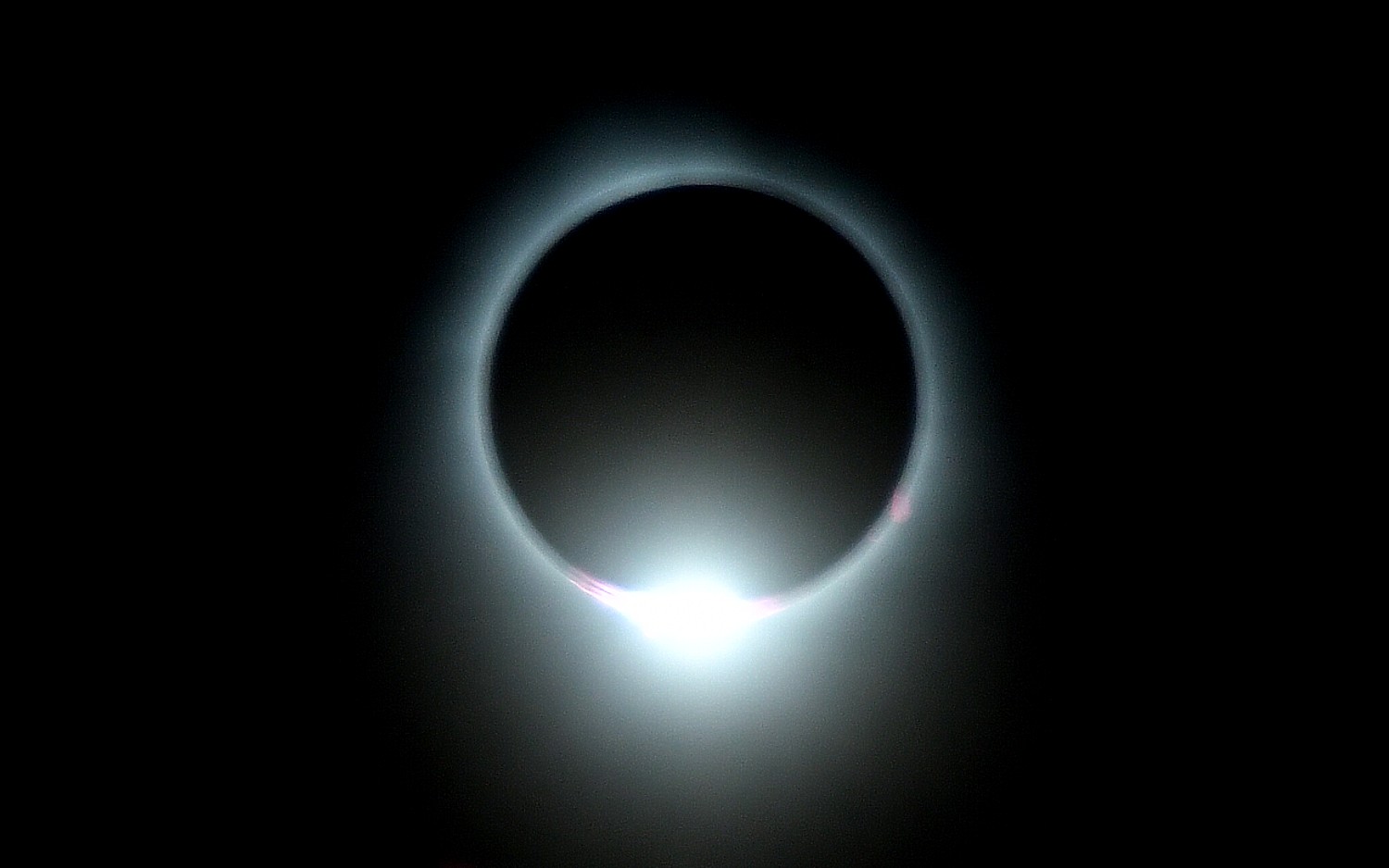
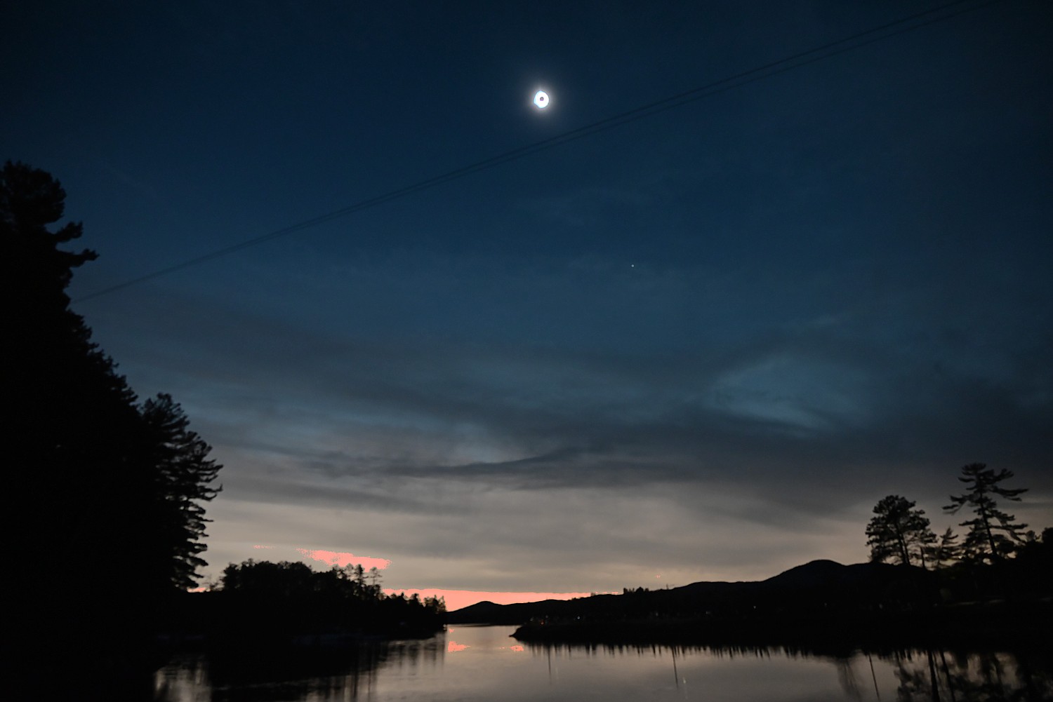
The Solar Eclipse August 12, 2026 that will pass over the Arctic, Greenland, Iceland, Atlantic Ocean, northern Spain and the tip of northeastern Portugal – the first solar eclipse on mainland Europe since 1999 – may well prove more spectacular than the April 8, 2024 solar eclipse which crossed North America, delighting hundreds of millions of people in its direct path. This is because the August 12 eclipse will take place about 2.2 days after perigee (on August 10, 2026), so the Moon’s apparent diameter will be larger.
If you felt left out of the opportunity to experience it (most programs are sold out or wait-listed), National Trust Tours was still taking reservations for a Mediterranean cruise on the elegant small ship La Belle des Océans, guided by astrophysicist Dr. Sarah Rugheimer and Allan I Carswell, Chair at York University
The cruise begins and ends in Nice — a UNESCO World Heritage Site known for its beaches and tree-lined promenade — and features ports of call in Barcelona and the sunny islands of Menorca and Mallorca. Between celestial events, the itinerary includes a full day in Barcelona with an exclusive after-hours visit to one of the world’s oldest active astronomical observatories, a private star party at the Observatorio Astronómico de Mallorca, and leisurely exploration of the sun-drenched islands of Menorca and Mallorca, and begins and ends in the glamorous French Riviera city of Nice. (National Trust Tours, https://nationaltrusttours.com/tour/2026-solar-eclipse-cruise-totality-in-the-mediterranean/)
While most 2026 Solar Eclipse programs are sold out or waitlisted, you may still find some availability at these sites:
National Eclipse has published a compendium of solar eclipse tours, (https://nationaleclipse.com/events/2026-total-solar-eclipse-tours.html)
Another excellent source to find and book tours is tourradar.com, 833-895-6770, https://www.tourradar.com/i/western-europe-solar-eclipse
Road Scholar, a not-for-profit leader in educational travel for older adults, is already looking to 2027, launching two new eclipse trips in Portugal and Spain and Egypt Eclipse to experience “The Eclipse of the Century,” in August, 2027.
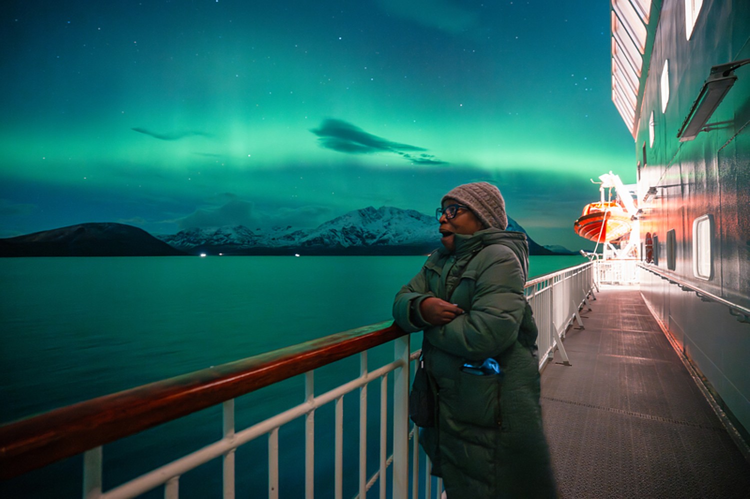
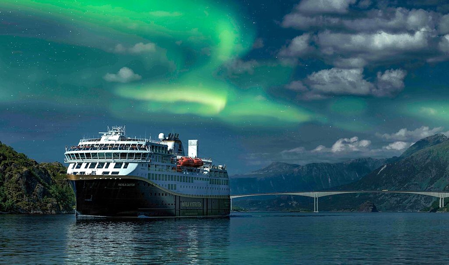
Astronomy enthusiasts should also plan visits North to chase the Aurora Borealis. The current solar maximum is in its final phase, offering some of the best auroral displays in a decade. Sightings will become less frequent and intense, and the next major peak in activity is not expected until the mid-2030s. Road Scholars can look for and learn from experts about the Northern Lights in Manitoba, Iceland, and Norway.
RoadScholar’s 15-day “Astronomy Above the Arctic Circle: A Journey Along Coastal Norway,” is a voyage to learn about the Arctic night sky and the Aurora Borealis with an astronomy expert. Explore enchanting towns such as Tromsø, Ålesund and Trondheim (https://www.roadscholar.org/find-an-adventure/23067/Astronomy-Above-the-Arctic-Circle-A-Journey-Along-Coastal-Norway/)
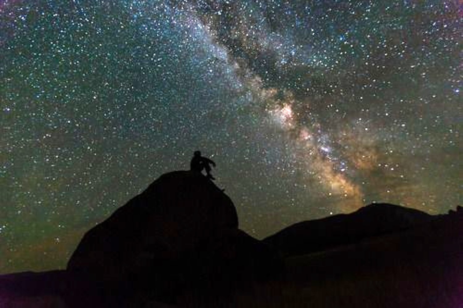
Astrotourism, a Rising Star
“Astrotourism” – the trend of traveling to study astronomy– is on the rise. Road Scholar’s five astronomy programs for 2026 are filling up fast.
Pennsylvania State University Professor Kevin Luhman says that advances in telescope technology, especially the NASA’s James Webb Space Telescope, have brought more attention and interest in learning about space.
“We are fortunate to live during a time in history when our knowledge of the universe is expanding rapidly because of technological advances,” said Luhman, who is an instructor on Road Scholar’s Astronomy programs at Penn State. “Many people find astronomy to be a fascinating subject because it encompasses some of the most fundamental questions that humans have pondered (How was the universe born? Is there life elsewhere in the universe?), combined with phenomena that are visually striking.”
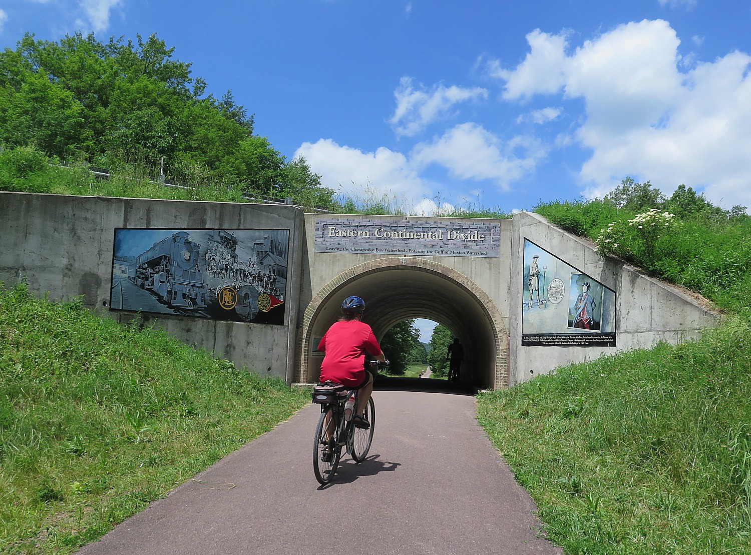
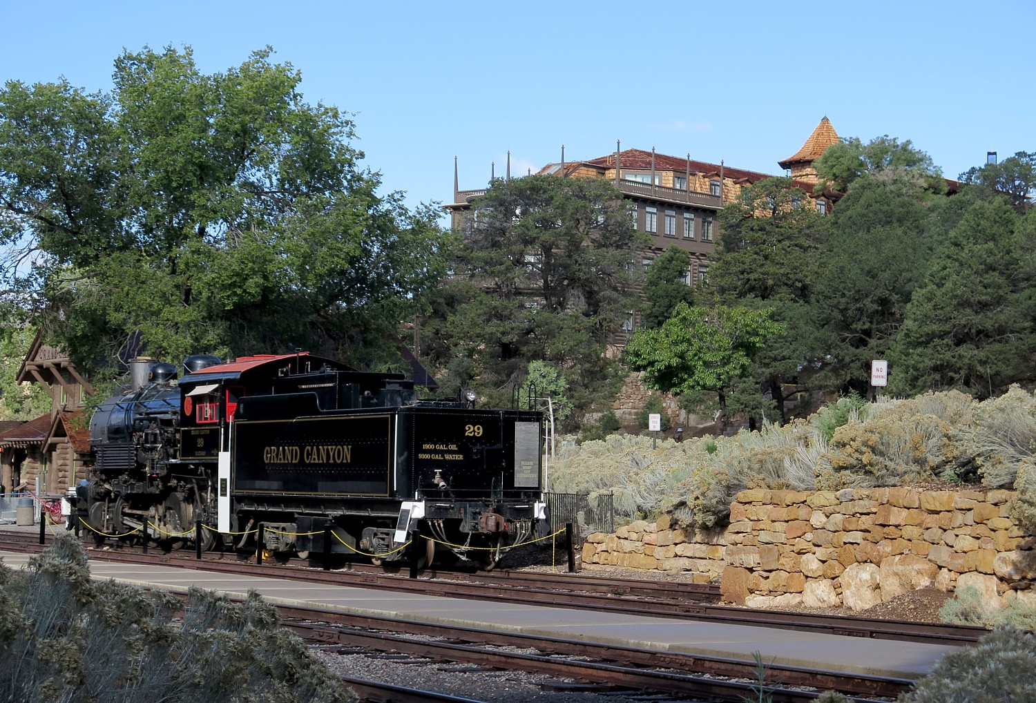
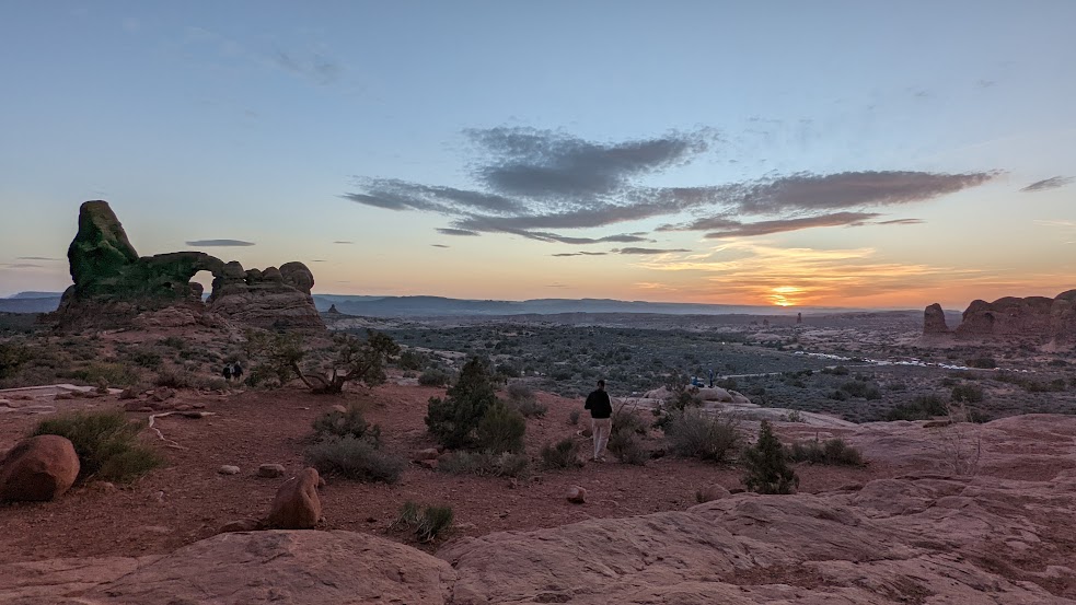
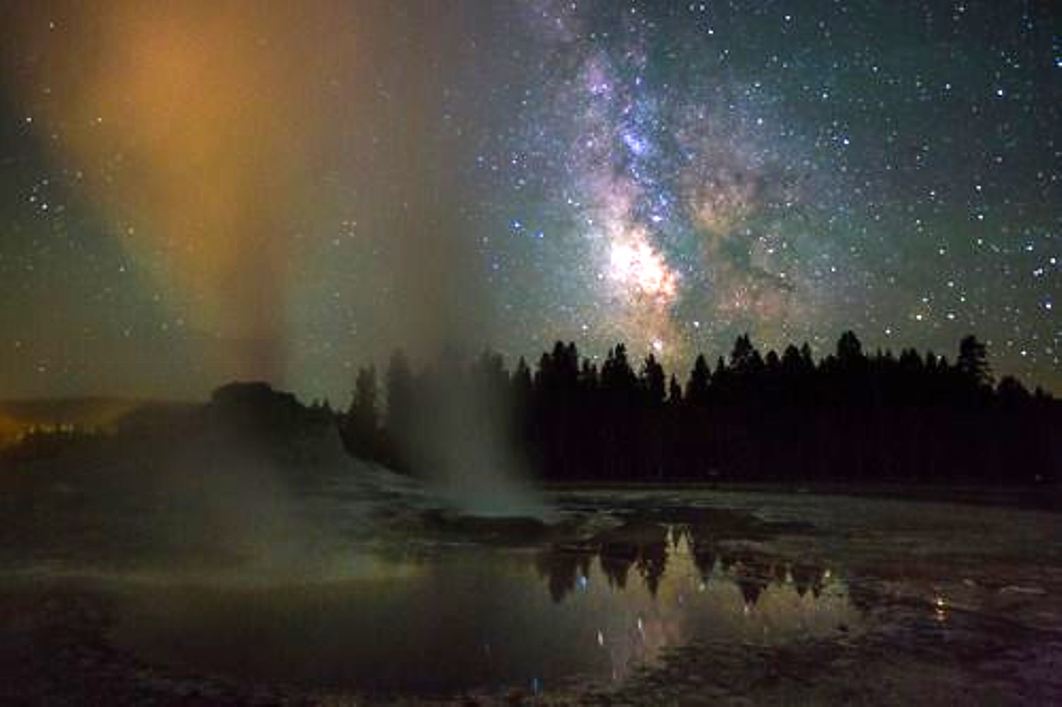
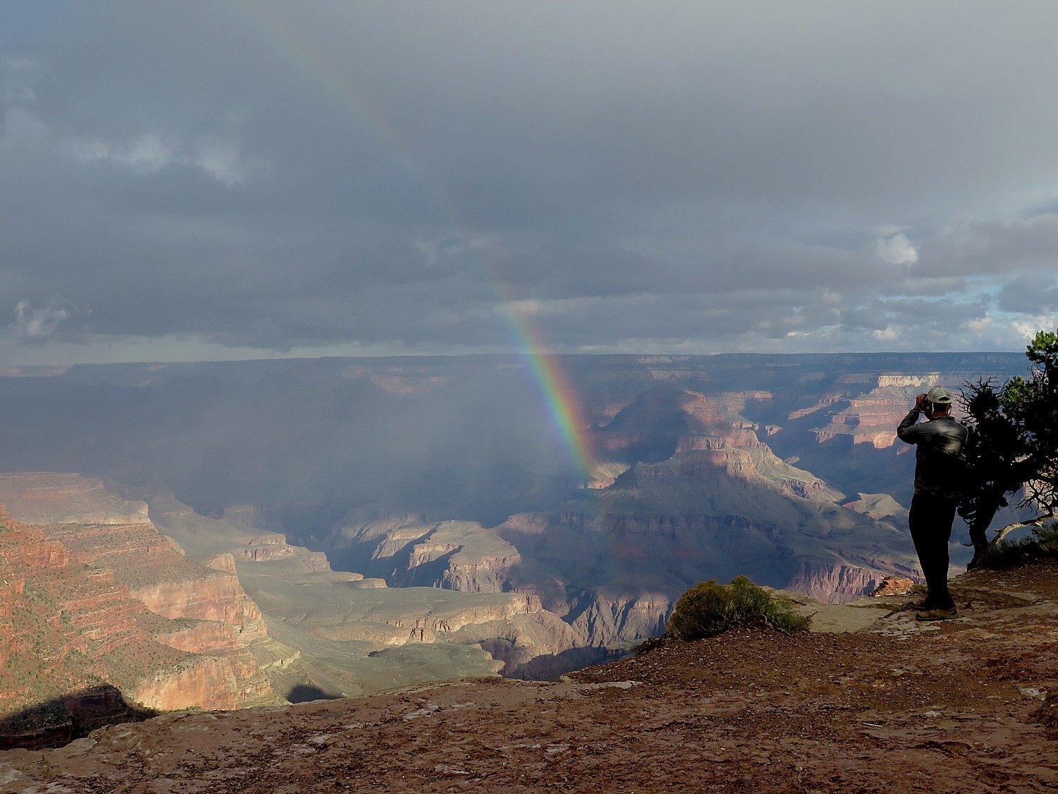
Outside of eclipse sightings and solar maximums, the sky can best be studied in Dark Sky Parks and Dark Sky Reserves and Parks, from the Grand Canyon and Big Bend National Park to New Zealand.
“The majority of people live in areas where light pollution prevents them from ever knowing just how much can be visible,” said Road Scholar Program Operations Manager Carryn Kliesen-Whitehead. “When our participants travel to Dark Sky places like Big Bend, they are suddenly exposed to how vast the universe is and they find it both astonishing and grounding. It seems to awaken something elemental in them and makes them want to get out and explore new areas and even revisit familiar places to see them in a new light (or lack thereof!).”
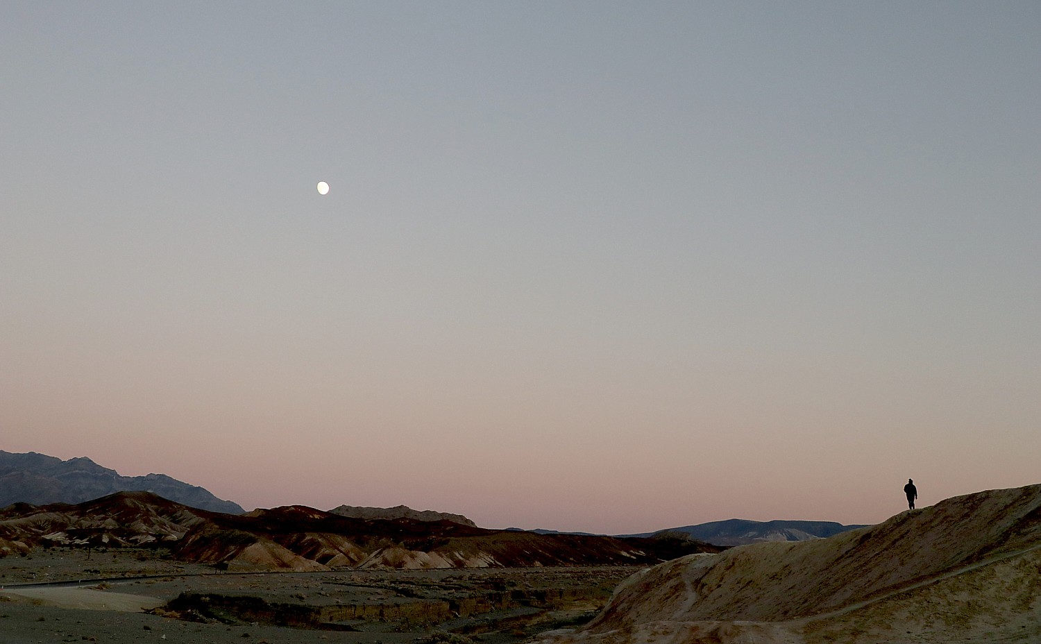
Many Road Scholar programs feature “Star Parties” with an astronomy expert – Grand Canyon, White Stallion Ranch in Tucson, Rancho de la Osa in Tucson, Terlingua (awarded the “Dark Night Skies Award”), Death Valley, Glacier National Park, Big Bend National Park, Penn State, and New Zealand.
Nighttime astronomy experiences are also included on Road Scholar’s Grandparent and Family Programs at White Stallion Ranch and Panama (with family or grandkids).
Road Scholar, 800-454-5768, www.roadscholar.org.
Top Dark Skies Hotspots for Stargazing in the USA
While interest in seeing meteor showers and celestial events is skyrocketing, 80 percent of Americans live in places that can no longer see the Milky Way, and almost all of us live under light-polluted skies.
With this in mind, SpinBlitz commissioned a study that analyzed light pollution, elevation, and other key metrics to reveal the darkest night sky hotspots in the U.S. for stargazing enthusiasts.
Canyonlands National Park, Utah, designated as a Gold-Tier International Dark Sky Park by the International Dark-Sky Association, offers some of the darkest skies in the US, with the possibility of witnessing up to 15,000 stars on a clear night and The Milky Way is visible in detail. The park’s 6,100 ft elevation and average annual temperature of 48.6°F provide crisp, clear viewing conditions. Utah’s commitment to preserving dark skies is unparalleled, with over two dozen International Dark Sky Places, including five national parks and nine state parks, making it a leader in astro-tourism.
Eta Aquarids Meteor Shower: The most unmissable celestial event at Canyonlands National Park is the Eta Aquarids Meteor Shower. Peak viewing is May 4th, when stargazers may see more than 50 shooting stars per hour.
Grand Teton National Park, Wyoming, ranking second, is where you can observe 4,000 stars and see the Milky Way stretching across the sky. The park’s high elevation of 6,700 feet and average annual temperature of 42°F contribute to clear, crisp nights ideal for skywatching. Wyoming’s commitment to preserving its dark skies is evident, with minimal light pollution and unobstructed views, making the stars seem within reach.
Perseid Meteor Shower: On August 12th – 13th, the dazzling annual celestial display characterized by bright and long trails of light is set to light up the night sky.
Great Sand Dunes National Park, Colorado, certified as an International Dark Sky Park, boasts a high elevation of 6,800 feet and average annual temperature of 45°F, dry air, minimal light interference and expansive vistas – optimal viewing conditions to be immersed in the Milky Way.
Perseid Meteor Shower: Great Sand Dune National Park is another place to view the Perseid Meteor Shower. Ideal viewing at the Medano Pass Road.
Cosmic Campground, New Mexico, has an elevation of 5,700 feet and average annual temperature of 53.4°F, 360-degree unobstructed views of the night sky, with the nearest significant source of artificial light over 40 miles away, ideal for stargazing.
Lyrid Meteor Shower: One of the oldest meteor showers can be seen at the Cosmic Campgrounds. Known for its fireball-like appearance of meteor showers, the ideal viewing times is between 2-5AM.
Other top places for Dark Skies in the United States include: Crater Lake National Park, Oregon; Big Bend National Park, Texas; Badlands National Park, South Dakota; Grand Canyon National Park, Arizona; Black Mesa State Park, Oklahoma; and Cherry Springs State Park, Pennsylvania.
(The study was commissioned by https://www.spinblitz.com/)
Cody Yellowstone Highlights ‘Noctourism’
As the least populated state in the Lower 48 and with few large cities generating light pollution, Wyoming has some of the clearest and darkest skies in the country, particularly in the northwestern Wyoming destination of Cody Yellowstone. With just 30,000 residents spread out over some 7,000 square miles, solitude-seeking visitors can find plenty of places for nocturnal adventures.
Top places in Cody Yellowstone for noctourism (another term for “astrotourism” “Dark Skies” and “star-gazing”) include:
Buffalo Bill Scenic Byway. This 27.5-mile route is part of what travelers and locals alike simply call the “Road to Yellowstone,” a 52-mile route between downtown Cody and the park’s East Gate offering spectacular mountain vistas and fascinating rock formations.
Chief Joseph Scenic Byway. This road cuts through the Sunlight Basin between the Northeast Gate and Cody. It is the best spot in the region to see the Aurora Borealis. One of the best stops along the byway is Dead Indian Lookout, offering dark and unobstructed views of the stars as well as the rugged Wyoming landscape. Multiple guest ranches are along the byway.
Bill Cody Ranch. Marking its 100th anniversary this year, Bill Cody Ranch was at one time owned by the grandson of Buffalo Bill. The ranch is located between the town of Cody and the East Gate of Yellowstone National Park. Guests can see rock formations from every angle, providing an otherworldly contrast to starry skies.
Wood River Valley Ski Touring Park: Cross country skiers in winter, hikers in summer head to a remote cabin where the only sound can be the occasional breeze blowing through the trees.
Pahaska Tepee. Check out Buffalo Bill Cody’s original hunting lodge where he entertained his friends, including the Prince of Monaco and President Theodore Roosevelt. While there, stay in A-frame accommodations and make a beeline to Yellowstone National Park through the nearby East Gate.
Cody Trout Ranch Camp – RV & Tipi Park. Located on the banks of the Shoshone River, this campground features tipis and RV sites with hookups for overnight stays.
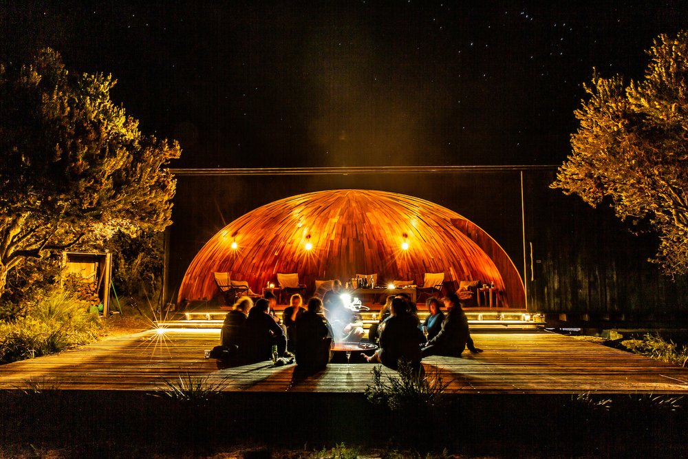
Pure Heart Retreat – Offering a blend of luxury and tranquility, Pure Heart Retreat offers geodesic domes measuring 23 feet in diameter as well access to a glass yoga dome. The retreat in the tiny town of Wapiti, Wyo. between Cody and the East Gate of Yellowstone National Park is designed to create a sanctuary for relaxation and rejuvenation.
UXU Ranch. Beloved for its mountain views and epic trail rides, this one-time sawmill became a dude ranch in 1929.
‘Dark Skies’ KOA Campgrounds
Many Kampgrounds of America locations offer wonderful Dark Skies opportunities. Among them:
Alamosa, Colorado: Alamosa / Great Sand Dunes KOA Journey: Surrounded by wide-open landscapes and far from city lights, this campground offers a truly memorable stargazing experience. Alamosa is a certified dark sky destination, thanks to low light pollution and Colorado’s expansive night skies. Guests can enjoy clear views of the Milky Way, constellations, and the occasional shooting star. A dedicated stargazing deck provides a comfortable place to lie back and take it all in, making it easy for families to slow down and connect after a day of exploring. Guests can also stop by the front office to pick up a constellation map or check for scheduled astronomy programs, adding an educational and interactive element to an already magical evening under the stars.
San Diego, California: Boulevard / Cleveland National Forest KOA Holiday: Tucked away from city lights, this remote campground offers incredible stargazing thanks to its naturally dark skies and lack of light pollution. Guests can head to the on-site stargazing plateauto take in clear views of constellations, shooting stars, and even the Milky Way on especially clear nights. The quiet, open setting makes it easy to fully disconnect and soak in the stillness of the night, creating a peaceful and memorable experience for families looking to connect with nature after sunset.
West Glacier, Montana: West Glacier KOA Resort: This campground offers a truly elevated way to experience Montana’s night skies with its brand-new Sky Deck Lodges. Designed to sleep up to eight guests, these spacious accommodations feature private upper-level decks that are perfect for soaking in sweeping views of Glacier National Park by day and stargazing by night. With minimal light pollution in the surrounding area, guests can settle in under the stars from the comfort of their own deck, creating a memorable, front-row seat to some of the most breathtaking skies in the country. Visitors often visit nearby spots like Lake McDonald for unobstructed, panoramic night sky views of the certified International Dark Sky area.
Grand Canyon / Williams KOA Journey (Arizona): Perfectly situated for visiting the Grand Canyon’s Desert View Watchtower, which frequently hosts constellation talks and night-sky photography workshops.
See also: The 11 Best Dark Sky Destinations
Best Spacious Skies Campgrounds for Stargazing
Spacious Skies Balsam Woods, Abbott, Maine. Although its location is woodsy, this campground is situated near an International Dark Sky Park, and there are several places throughout the campground with prime night sky viewing, including occasional views of the ribbons of color of the aurora borealis. The campground’s management team of astronomy buffs often partner with local astronomers to offer star-themed guest programs.
Spacious Skies Adirondack Peaks, North Hudson, N.Y. This Upstate New York campground is situated right on the Schroon River, and campers here can find clear night skies from anywhere along the shoreline.
Spacious Skies Seven Maples, Hancock, N.H. Located on what was once a sprawling family farm, this picturesque campground’s best nighttime viewing is from the campground’s fishing pond.
Spacious Skies Shenandoah Views, Luray, Va. With easy access to Shenandoah National Park, many guests head to pullouts and parking lots along the park’s famous Skyline Drive for clear nighttime views. There are also several places throughout the campground with unimpeded views, including the yurt area and central sport court area with volleyball courts and a jumping pillow.
Spacious Skies Bear Den, Spruce Pine, N.C. Situated near the Blue Ridge Mountains where light pollution is minimal, this is an especially compelling spot for stargazing. Some of the best places nearby to enjoy the night sky include the campground itself, the nearby Blue Ridge Parkway, the Bear Den and Chestoa View Overlooks, the historic Orchard at Altapass, the Linville Gorge Wilderness and Mayland Earth to Sky Park & Bare Dark Sky Observatory.
Spacious Skies Belle Ridge, Monterey, Tenn. Situated on more than 100 acres with open fields, cliffs and ridge views, the campground’s clifftop overlooks provide wide, unobstructed views of the night sky. Nearby options include Bee Rock Overlook, the Highland Rim & Standing Stone State Park and Cummins Falls State Park.
See also: A Beginner’s Guide to Stargazing at Spacious Skies Campgrounds
__________________
© 2026 Travel Features Syndicate, a division of Workstyles, Inc. All rights reserved. Visit goingplacesfarandnear.com and travelwritersmagazine.com/TravelFeaturesSyndicate/. Blogging at goingplacesnearandfar.wordpress.com and moralcompasstravel.info. Visit instagram.com/going_places_far_and_near and instagram.com/bigbackpacktraveler/ Send comments or questions to FamTravLtr@aol.com. Bluesky: @newsphotosfeatures.bsky.social X: @TravelFeatures Threads: @news_and_photo_features ‘Like’ us at facebook.com/NewsPhotoFeatures