By Karen Rubin, Travel Features Syndicate, goingplacesfarandnear.com
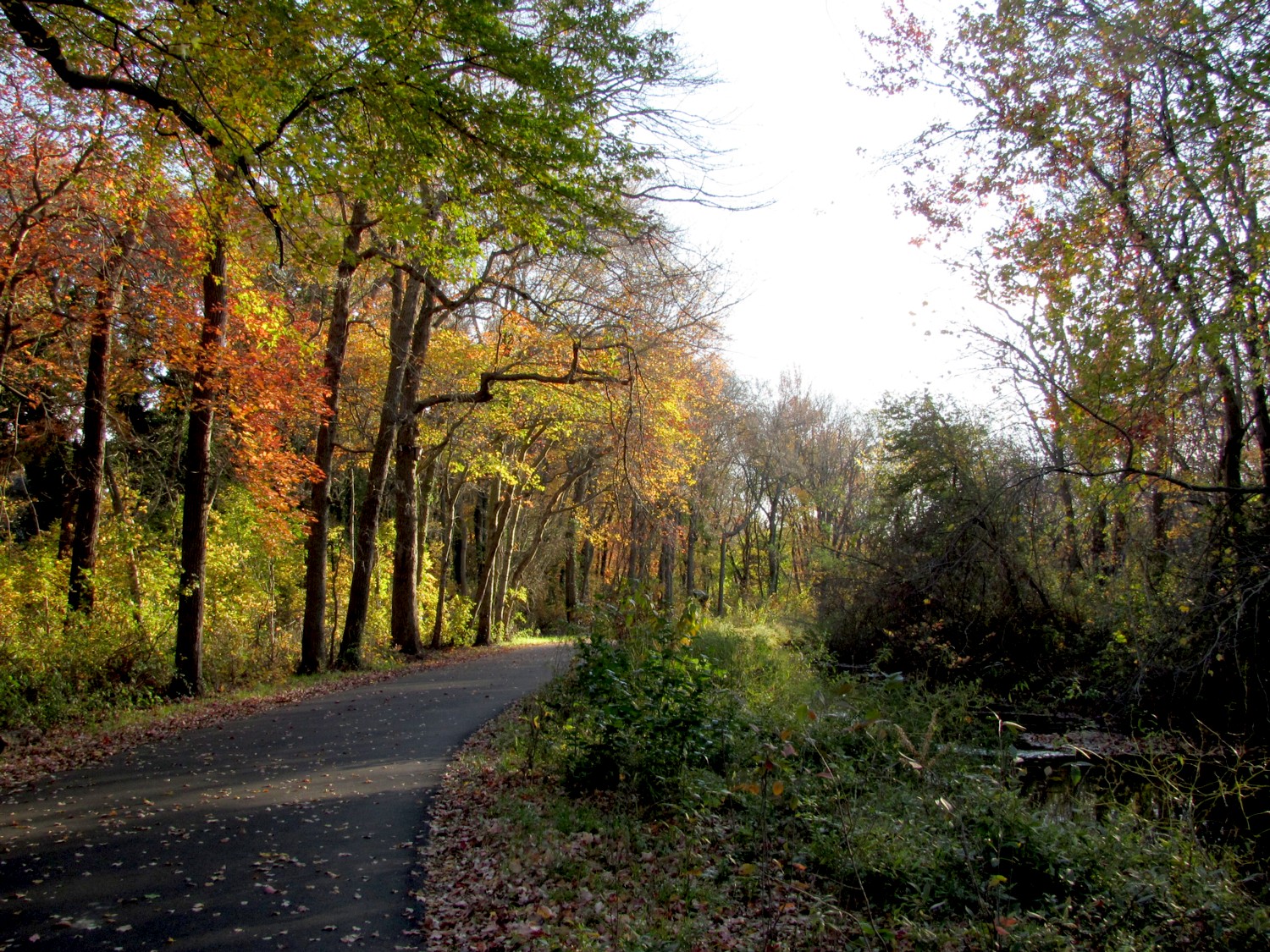
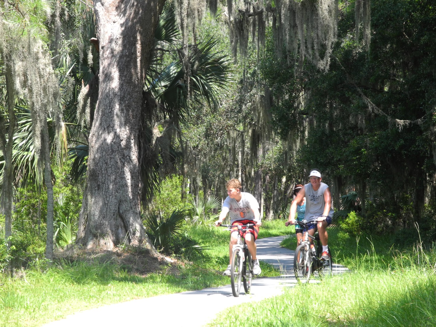
Biking 240 miles across Missouri on the Rails to Trails Conservancy’s Hall of Fame Katy Trail is more about “being” than “seeing”. That is, the ride itself is glorious free-wheeling cycling, and when you finish being on the day’s ride in one of the charming, historic towns you get to “see”. You experience the towns and ports that grew up with the Missouri-Kansas-Texas Railroad (known as the K-T) and the Missouri River boats, that declined with the drop in rail and river traffic. These places that bring us so much delight today might well be ghost towns except for new life breathed into them by the thousands of cyclists who come through on the Katy Trail, like Rocheport, population 239.
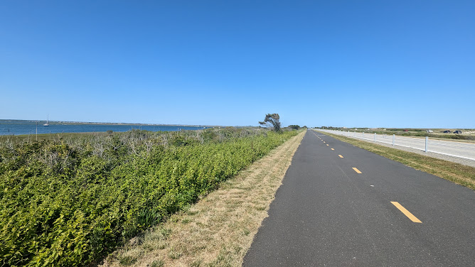
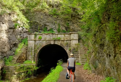
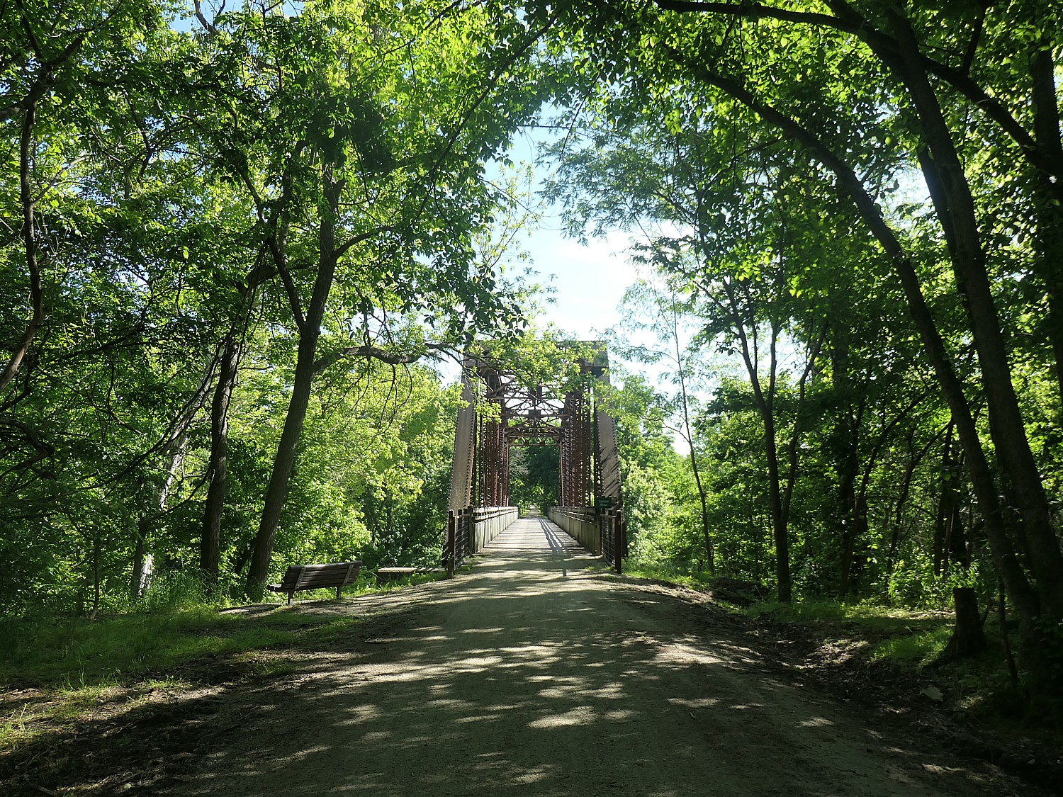
Built between 1987 and 2011, the Katy Trail – actually a linear state park 100 feet wide and 240 miles long – is the longest continuous recreational rail trail in the United States.
It’s estimated the Katy Trail brought $18 million in spending to the area before the COVID pandemic inspired so many to discover the physical and emotional benefits of biking and being outdoors (as I learn after a chance meeting on the trail with the former state Commissioner who presided over its development). Meanwhile, the reputation of the Katy Trail continues to spread.
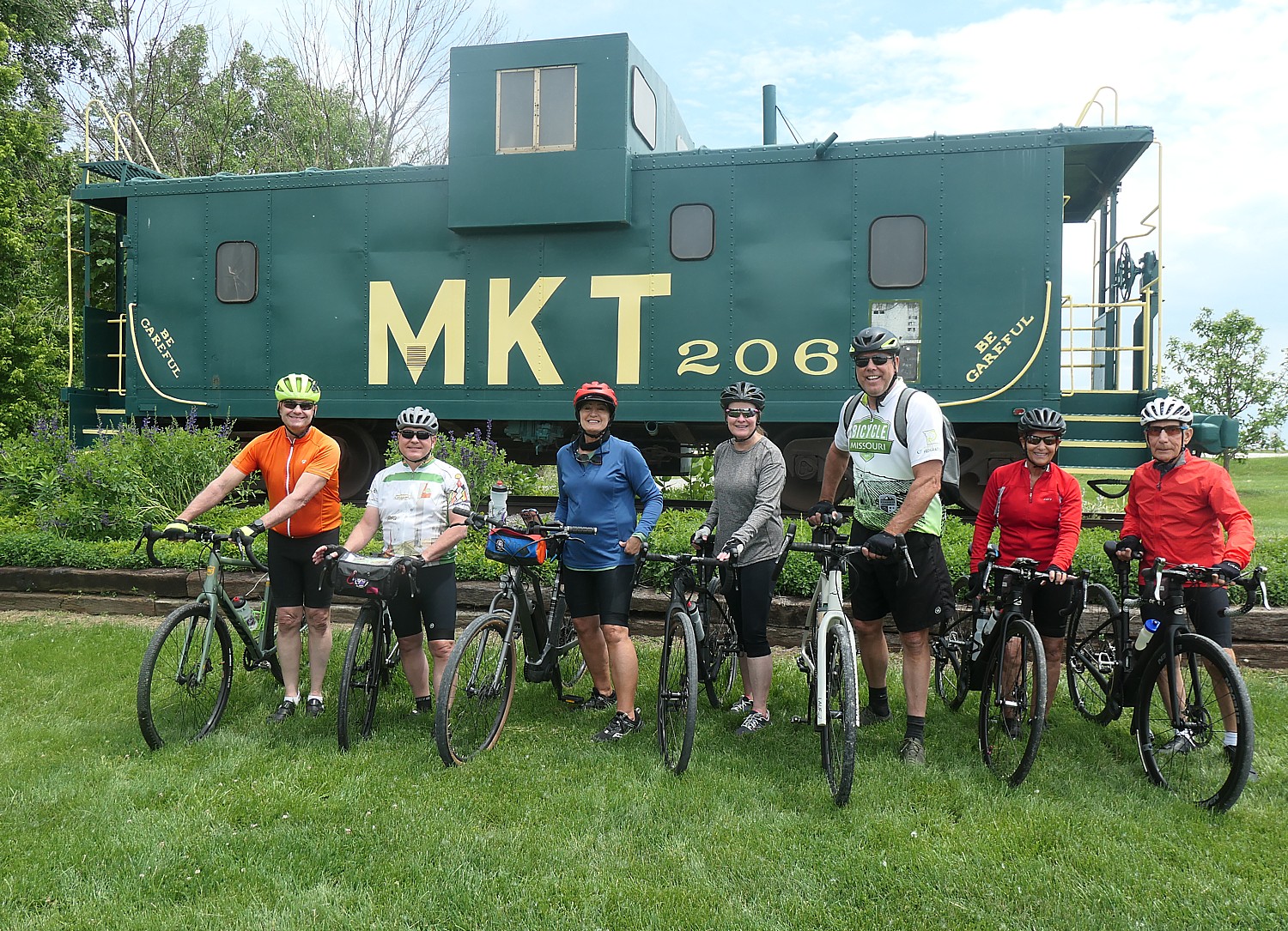
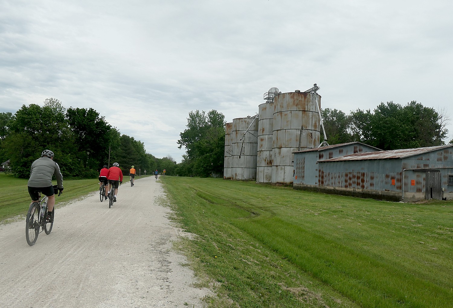
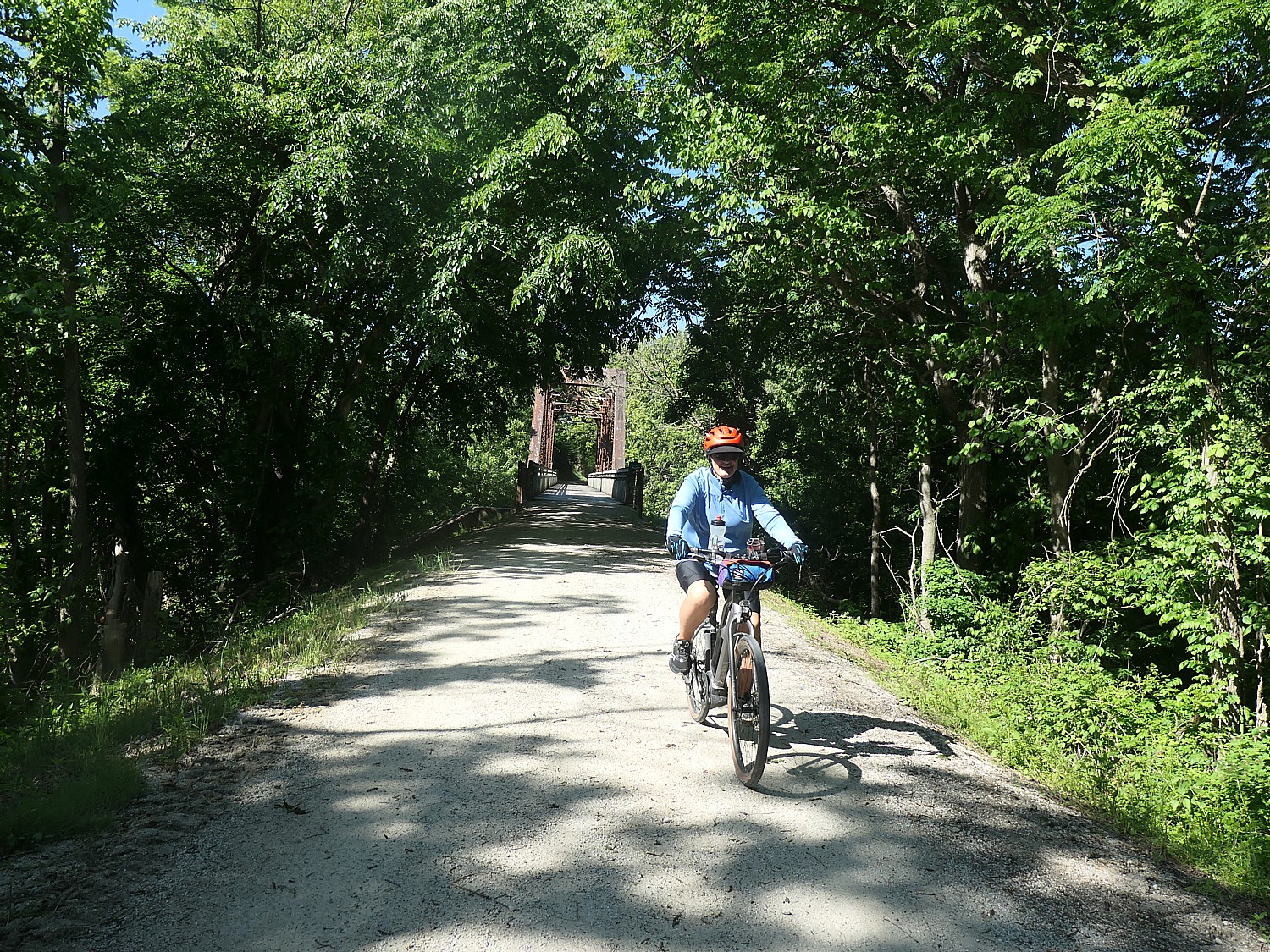
On our Wilderness Voyageurs Katy Trail bike tour, only one couple is from Missouri (they have done almost all of the trail before), the rest of us have come from Texas (doing this trip for a second time), Alabama, Indiana, California and New York, to enjoy one of the best rail trails in the country. It has the gentle slope of a rail line where there are ups and downs at all, marvelous and well maintained rest stops (every 12 miles) complete with picnic tables, depot-style benches under a canopy, where there are excellent placards describing the history, pointing to the important sites and mile markers on the coming section, and giving clear map and directions. It is such a comfortable trail that this tour is able to go for longer mileage days of 38 to 50 miles (but if you do tire, you can simply hop on the van used each day by one of the guides who sets up snack stops and lunch; e-bikes also available).
But it’s not just those of us who come from around the country and world to ride the Katy Trail – the trail is a string that binds and engages community and we can see how locals cherish it (even those who were skeptical at the start). Along the way, we find a former home that was donated to the trail for use as a hostel (you just find the key and let yourself in), and a historic general store building that was donated to the park and being restored by Dan and Connie Burkhardt who run a foundation to protect and preserve the land. Indeed, the trail began with a generous donation by Edward D. “Ted” Jones Jr. and his wife, to secure the railroad’s right-of-way. All along the way you see signs of “Missouri Pride,” and “Magnificent Missouri.”
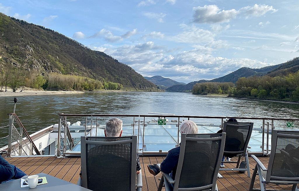
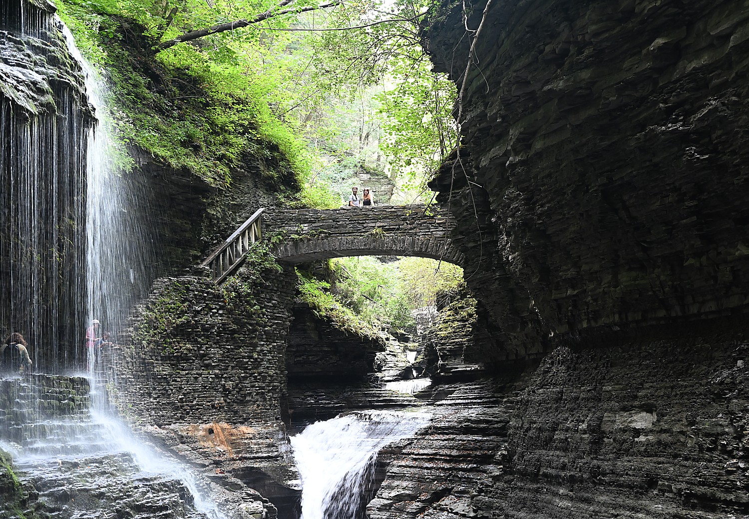
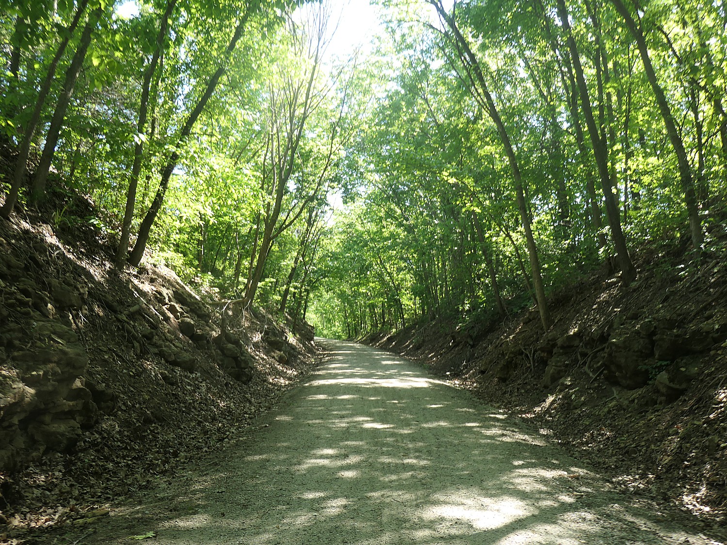
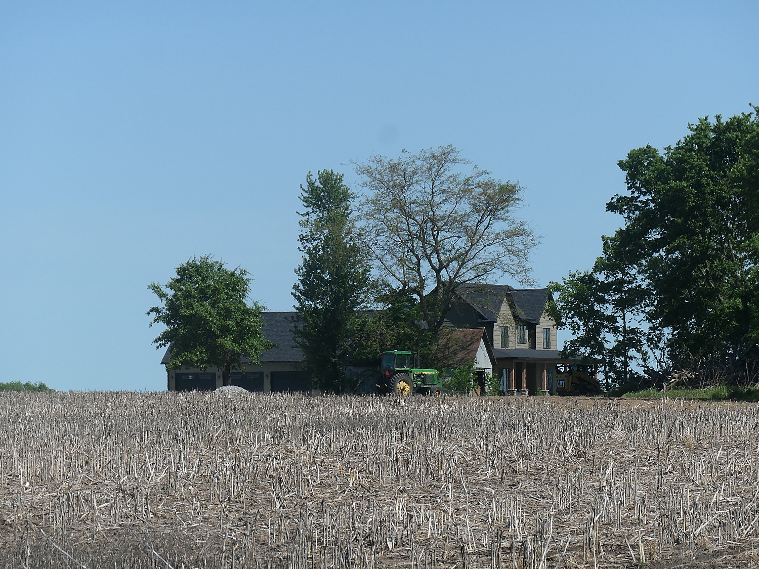
Much of the trail follows the route of the Missouri River with the river on one side and towering bluffs on the other, and takes us through forests, wetlands, valleys, remnant prairies, open pastureland and rolling farm fields.
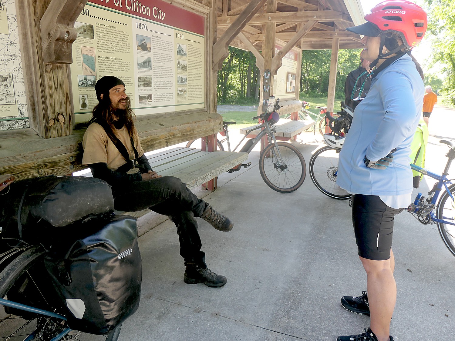
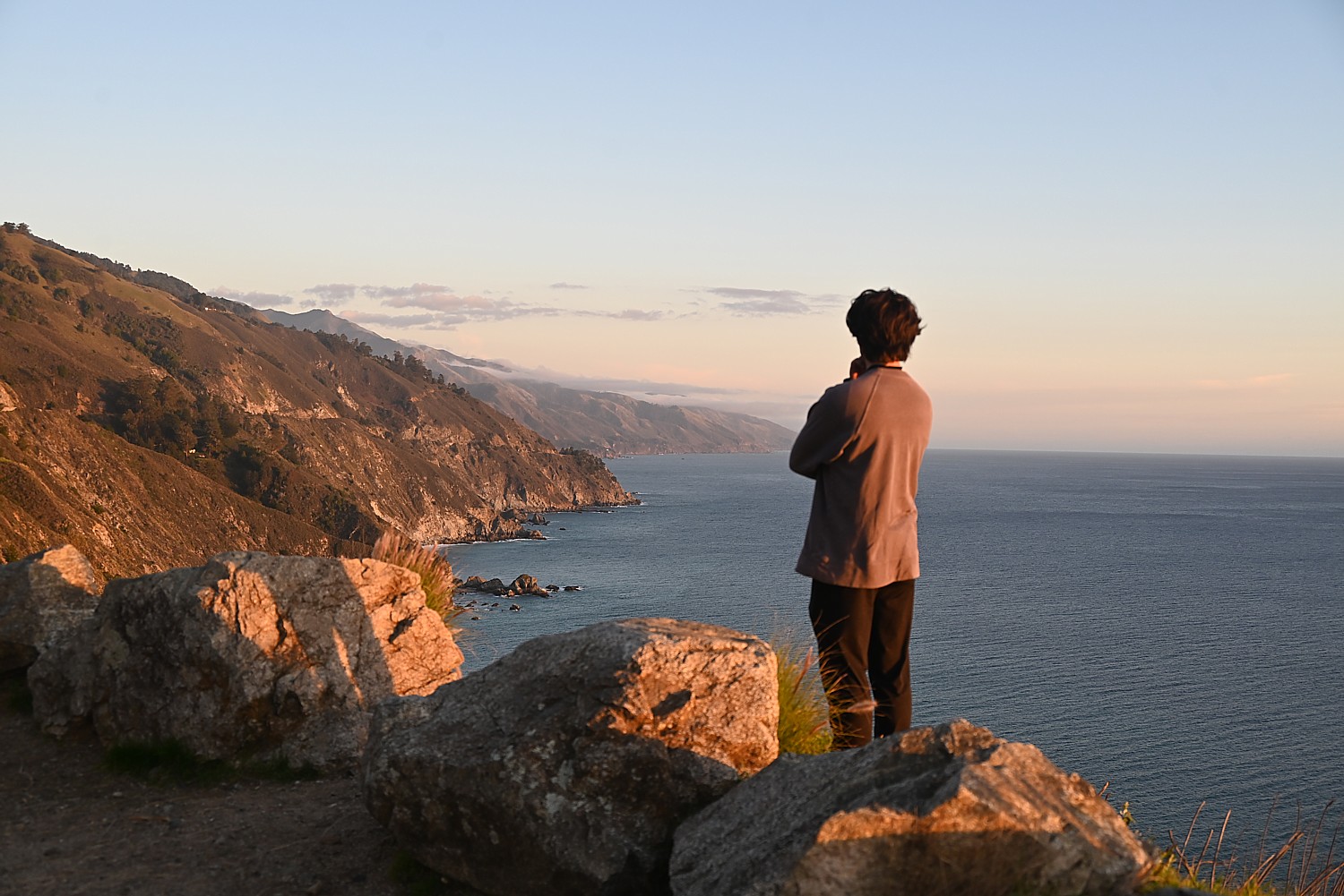
We cycle through towns, villages, communities and landscapes we would never otherwise see (and without looking through a glass window), at a pace that is perfect to create an ever-changing scene. You can feel the wind and smell the air, and get off the bike when you want to spend more time, take a photo, read a plaque, have a different or deeper perspective – especially since Wilderness Voyageurs provides us with Ride with GPS so we can go at our own pace.
The pleasure of riding the Katy Trail is further enhanced this year when the nation is celebrating America’s 250th.
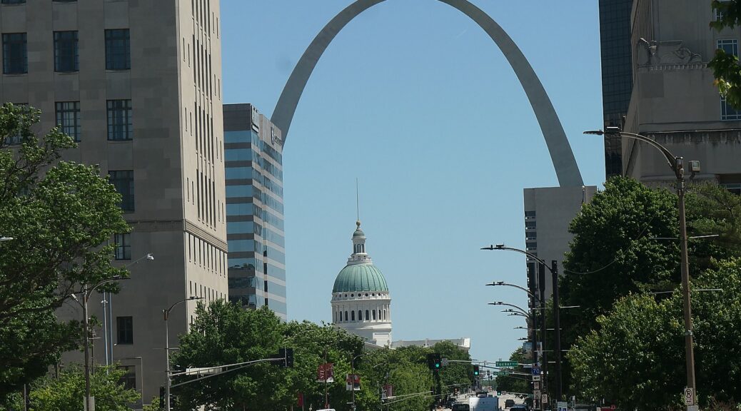
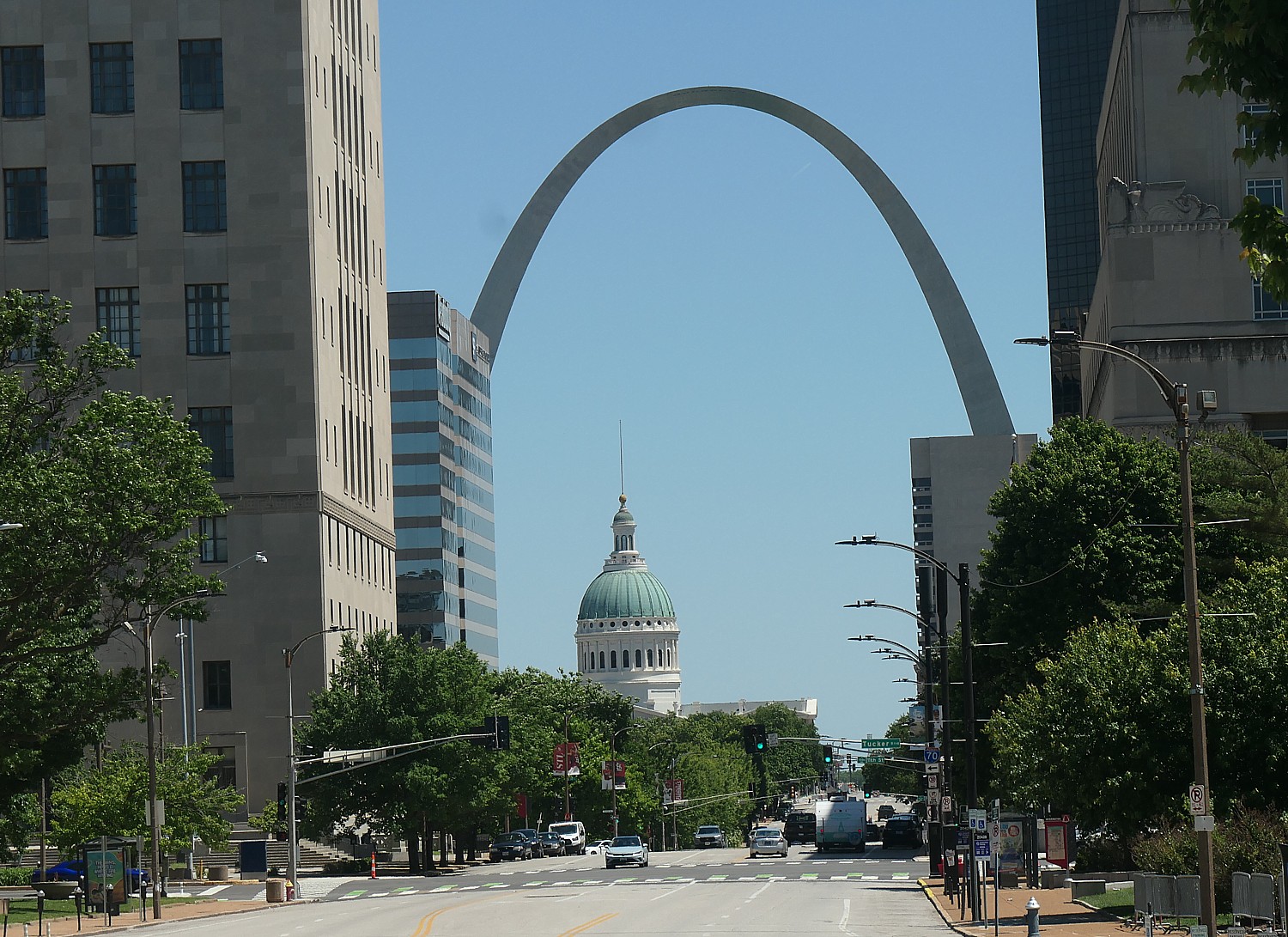
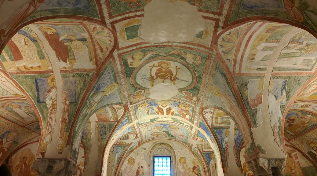
The Katy Trail is steeped in history, much of it following the actual route of Lewis & Clark’s expedition (part of the 4,900-mile Lewis & Clark National Historic Trail) and dotted with markers and panels recalling where they camped or where some incident happened. This place also figured prominently in the Westward expansion, led by figures like Daniel Boone and commemorated with Gateway Arch National Park in St. Louis. One of my favorite sections of the trail is where we see pictographs left by the Indigenous peoples who had lived here for centuries before any of them.
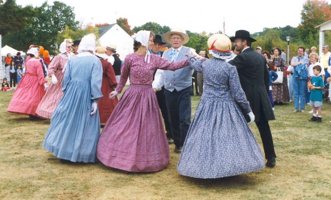
We go through towns that look like (should be and have been) film sets from 1930s,1940s and 1950s. I love seeing the vintage posters, paintings, murals, neon signs and shops that still have the proprietor’s family name and the tag, “Since [year]” This is small town America of myth and lore, especially when we come to our last night’s stay in Washington, Missouri, where I happen upon a community weekly concert at the Farmers Market that gets people line-dancing.
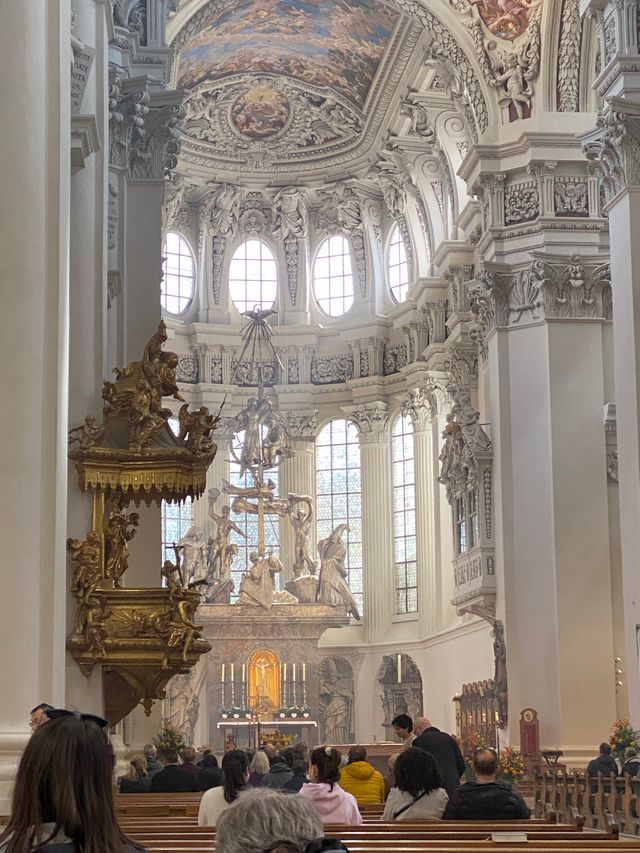
Our six-day tour begins with a 6:30 am pick up in St. Charles, so everyone stays over the night before, most in St. Charles. (I stay in St. Louis, about 25 minutes away, at the 21c Museum Hotel, a Historic Hotels of America member, to have a glorious day to explore this important city and immerse myself in history and culture.)
We are picked up at the various hotels and driven from St. Charles, where the trail and our tour ends, to where it begins, in Clinton. It is a 3 ½ hour drive, but will take us six days to bike.
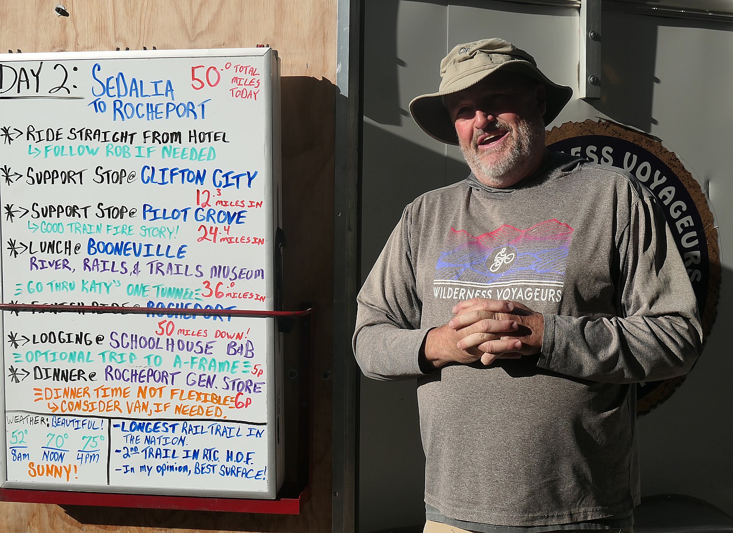
Before we set out each day, our guides, James Oerding (a St. Louis native who has been a Wilderness Voyageurs guide for 13 years and I actually knew from my South Dakota Wilderness Voyageurs tour) and Rob Figulski, review the ride and main points. I would also recommend reading the day’s itinerary notes that are provided on the Ride with GPS app, which have even more interesting details for people like me who love to immerse in place and time.
Our first day’s ride is 38.4 miles through the Osage Plains with gentle rises and trees on both sides to Sedalia, a town that looks like it was set in a time capsule (and was used as the setting for the 1950s TV show, “Rawhide”).
This day’s ride takes us to the highest point on the trail, at 955 feet above sea level (though not the most elevation of our ride – that will come on day 2).
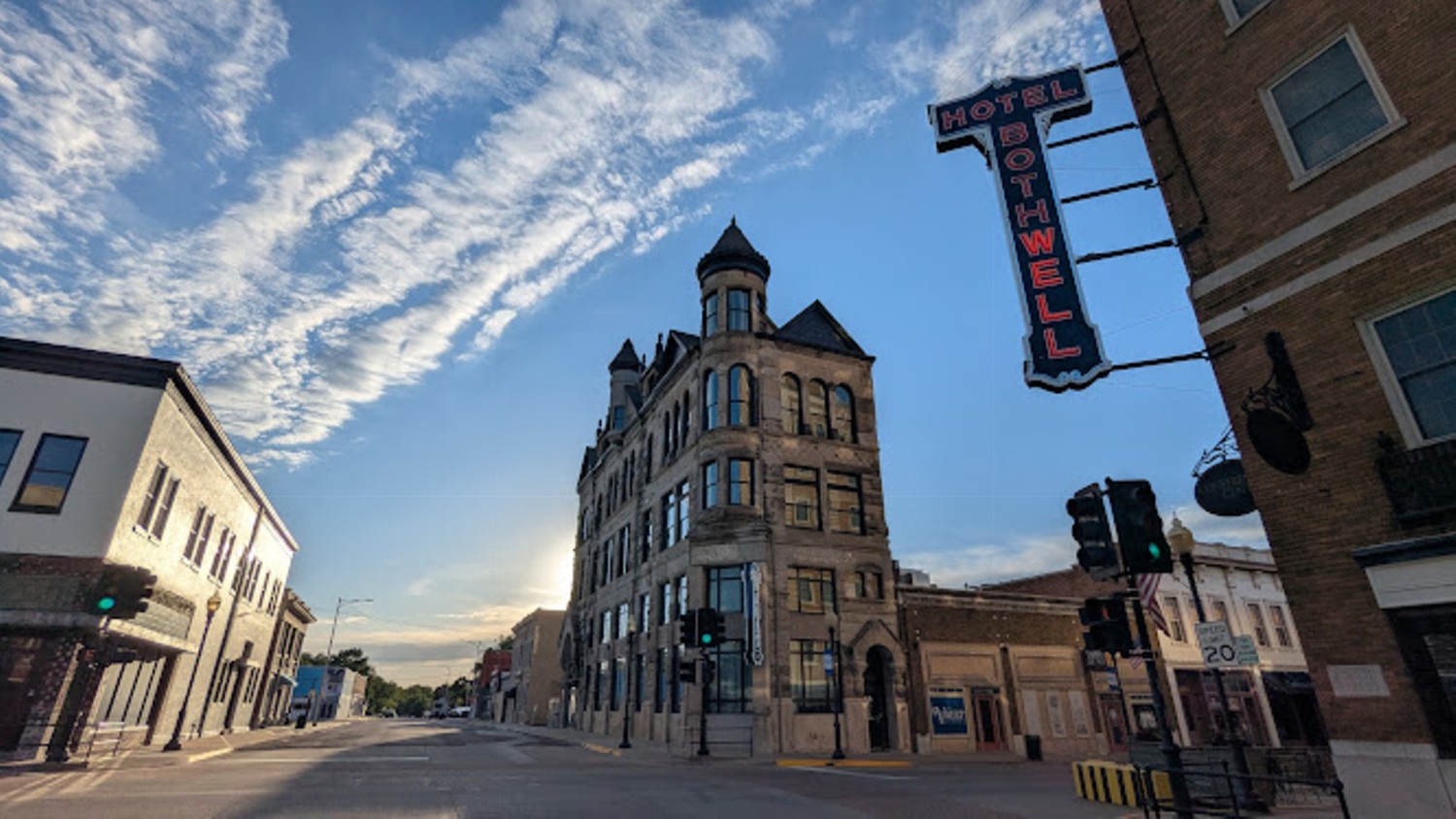
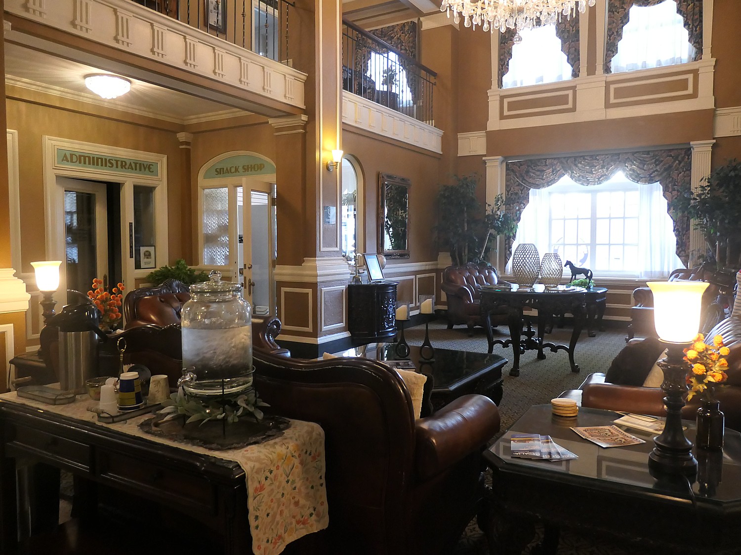
We finish at the Katy Trail Depot in Sedalia and make our way to the historic Hotel Bothwell, so perfect for this throwback experience. There are such marvelous ole-timey features – a telephone booth, elevator, mail drop, the wooden check-in desk. There are photos of President Harry Truman in the breakfast room, named for Truman, who dined in the hotel’s café in 1962.
A bronze plaque outside the hotel says that John Bothwell & Community Hotel Company built the hotel in 1927 for $400,000; in 1934, Harry S. Truman was here when he learned that Kansas City political boss Tom Pendergast had selected him as the candidate for US Senate; in 1942, Actress Bette Davis dined in its Palm Room; in 1959, Actors Clint Eastwood and Eric Fleming promoted the TV series Rawhide (which was set in Sedalia). The hotel was converted to senior housing in 1988 by the Westin Financial Group, then restored to a hotel by the Furnell Cos. in 1998.
Sedalia also has the first Carnegie Grant public library awarded in Missouri; and the Missouri State Fair is located in Sedalia (we pass by the fairgrounds on the trail).
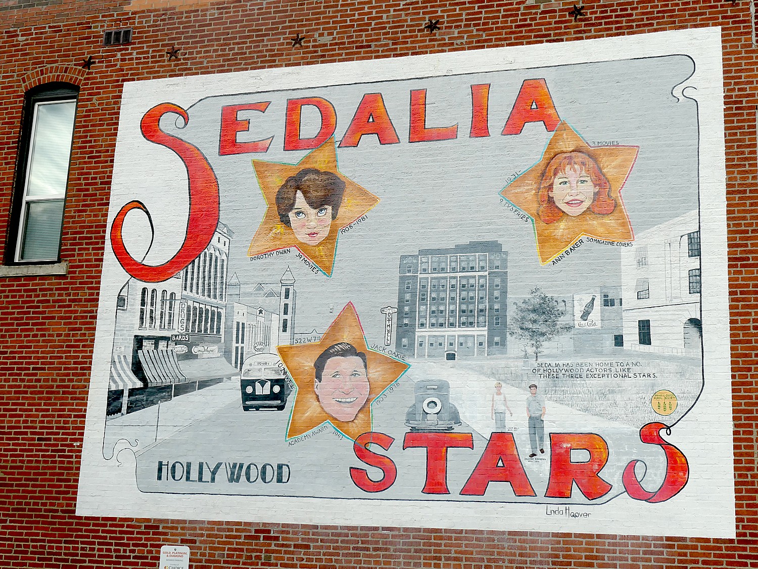
But most interesting is its connection to famed musician Scott Joplin, who came to Sedalia to work on the railroad and made Sedalia his home, earning his living as a piano teacher; today, Sedalia hosts an annual Scott Joplin Ragtime Festival (www.scottjoplin.org)
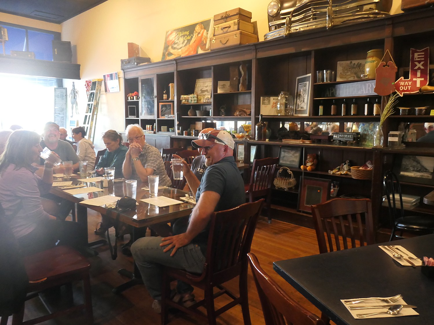
We have dinner together at The Vault – it’s only our first night together, but the 10 of us have already formed a tight unit. Notably, four of us are traveling solo – bike tours are one of the best ways to travel alone but together.
Day 2 is the most arduous and the most satisfying. It is our longest, hardest ride, 50.5 miles, from Sedalia to Rocheport with the most ups/downs – 1,100 ft of elevation and 1,395 ft. decline – so today is mostly about the physical experience versus the view. and ends at a place of serenity and contentment. (But you keep reminding yourself: this is a railtrail, so the uphill is very gradual, you barely feel it.)
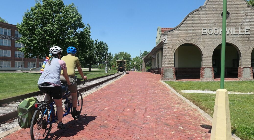
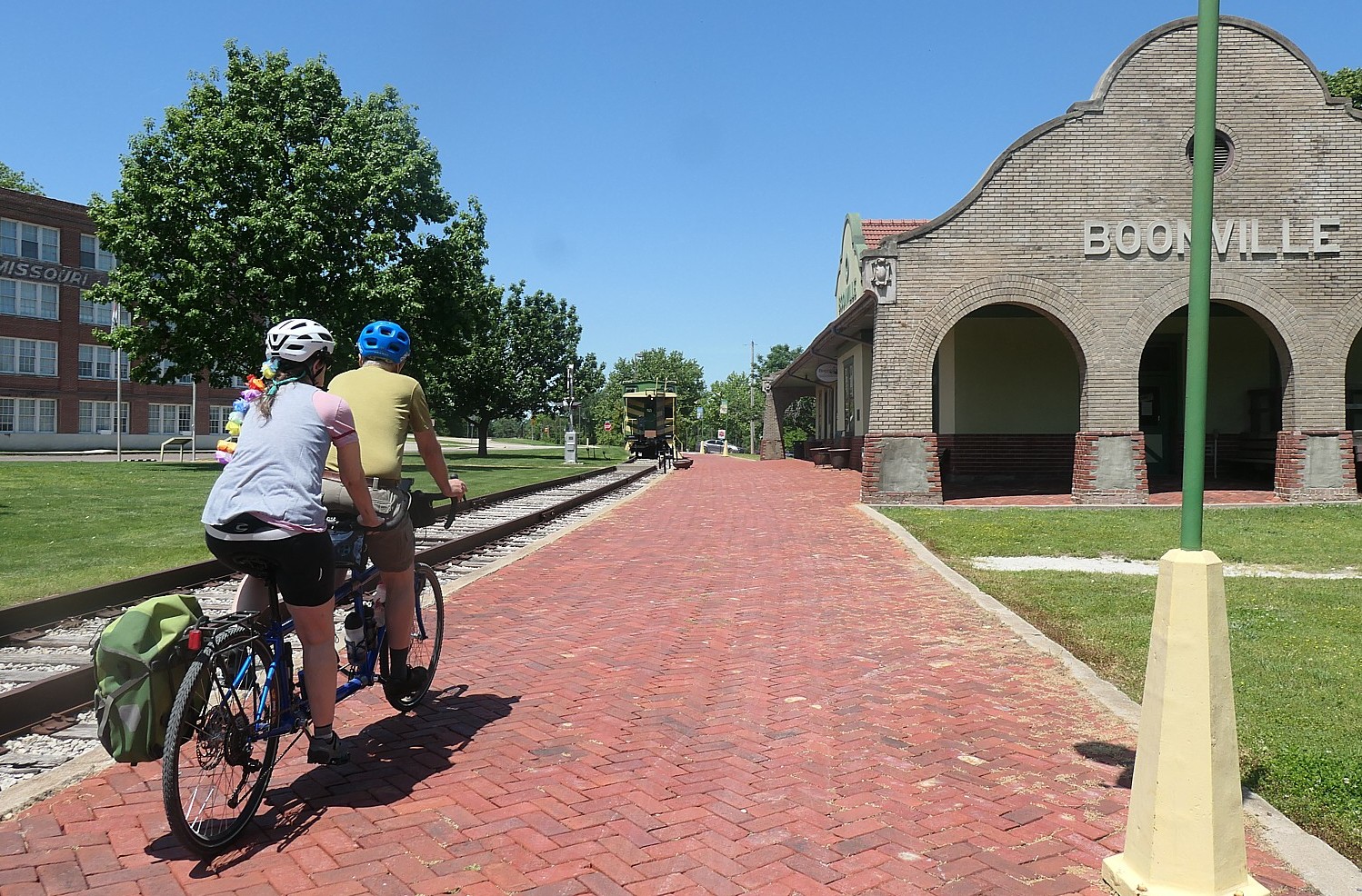
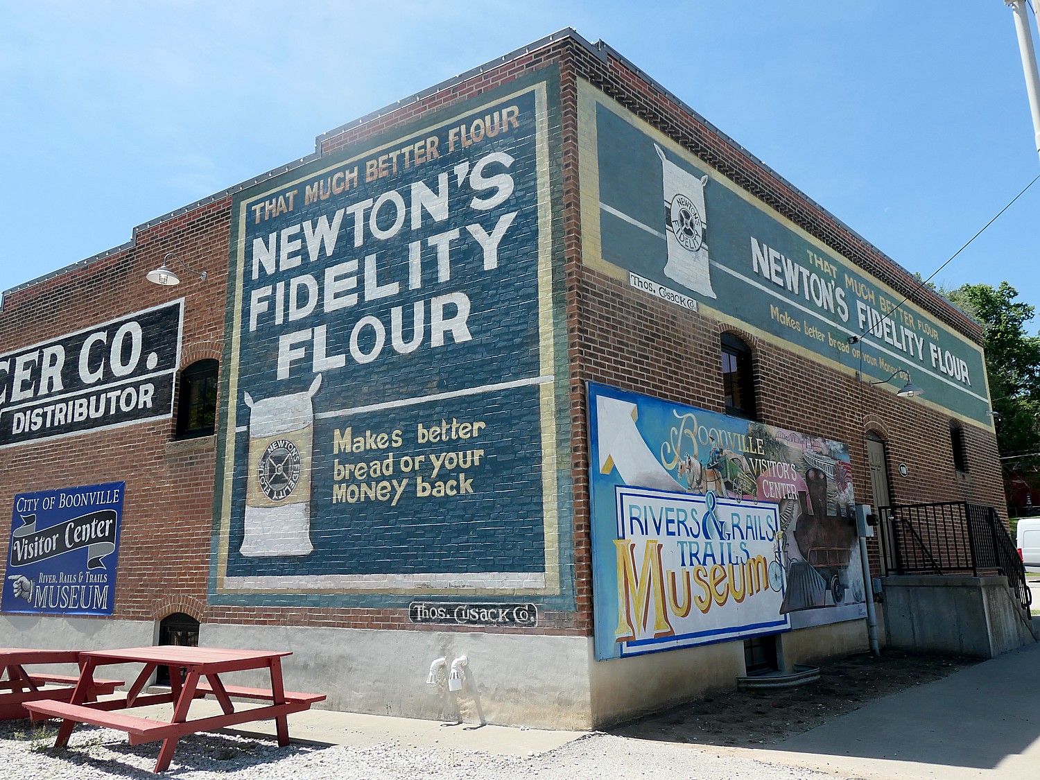
This day’s ride is organized so we have two support stops, 12 miles apart, and a very long uphill before a two-mile downhill into Boonville and our lunch stop at the Boonville Visitor Center and River, Rails & Trails Museum.
The museum is very interesting, especially the ambiguous way it relates Civil War events – a skirmish early in the war, on July 17, 1861, resulted in Union forces defeating a small, poorly equipped force of Missouri State Guard. (It’s not clear which side the folks were on but probably the Confederate, though Missouri was officially a Union border state).
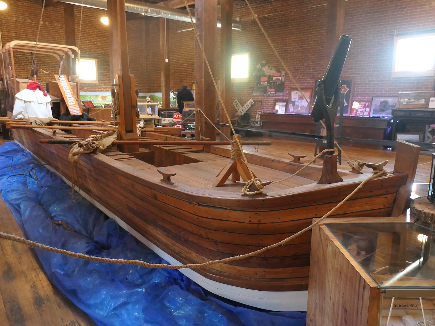
All along the Katy Trail there are important markers and references to Lewis & Clark, and here in the museum is a half-scale replica of the famous keelboat they used.
Boonville was named for frontiersman Daniel Boone’s sons, who established a salt business here in the early 1800s. This was the first permanent American settlement west of St. Louis. Its strategic location on the Missouri River and the Santa Fe Trail made it a crucial hub during Westward Expansion. More than 400 buildings are listed on the National Historic Register, and Boonville has one of four restored train depots along the Katy Trail.
We leave Boonville, crossing over the Missouri River, continuing on the trail, riding over train trestles.
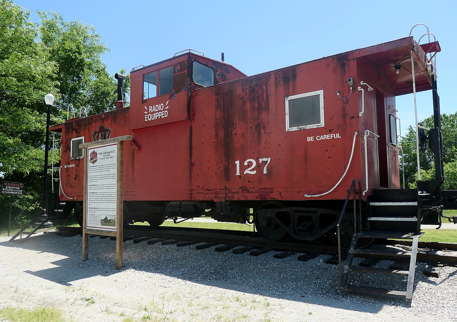
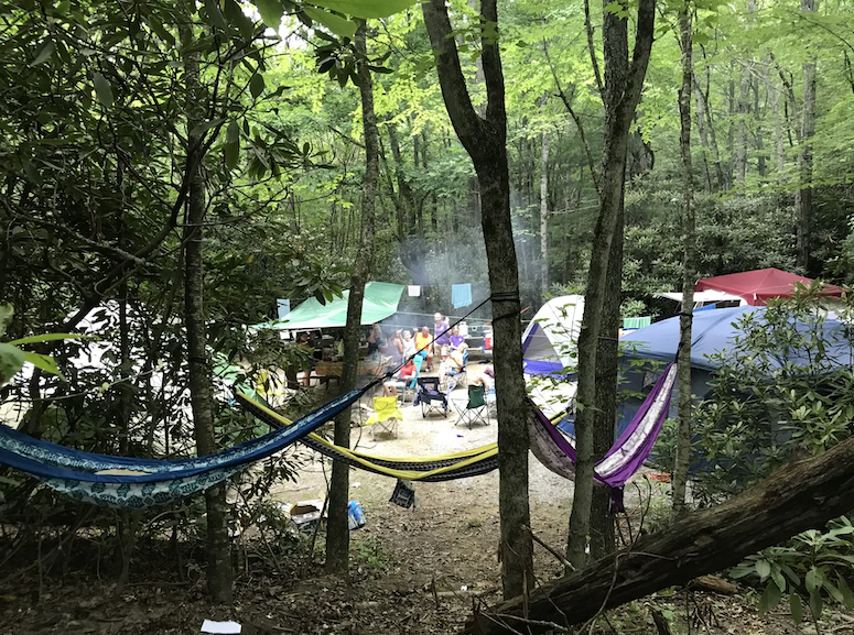
New Franklin, “the crossroads to the West,” is where four major trails all meet: the Katy Trail, the Lewis & Clark Trail, the Santa Fe Trail and the Boone’s Lick Trail. Here, we see what is left of a KT Roundhouse (there is a campground here today), a train car, and a replica of a Conestoga Wagon such as the pioneers would have used.
We end our ride in Rocheport, a trading post when Lewis and Clark’s expedition came through in 1804. It became a permanent settlement in the early 19th century. Today, the whole town is a historic district, with 239 residents and yet there is a gallery and art studio, and an inn that caters to women recovering from mastectomy.
This has been a really arduous ride, so when we arrive at the School House B’n’B at about 3 pm and congregate in its lush garden to enjoy beer and snacks the guides have purchased for us (based on a questionnaire we filled out as to our preferences), the most perfect peace washes over us, almost euphoria. Everything about this place evokes a feeling of serenity and sheer contentment.
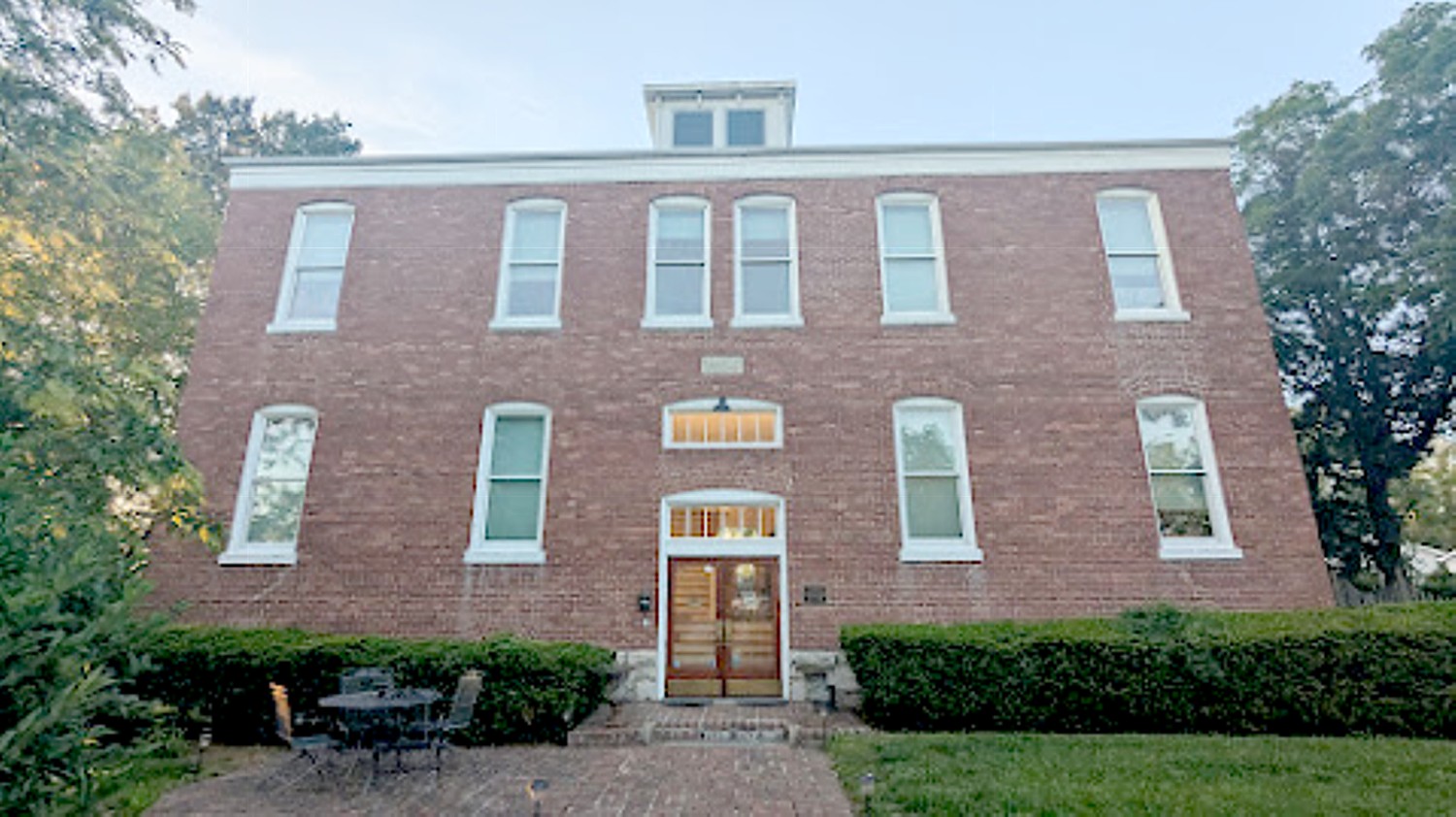
Listed on the National Register of Historic Places, the School House B’n’B is a restored three-story brick building that was built in 1914 and was a school until 1972 (though a school was on the site for 70 years before that). It was converted to a bed and breakfast in 1988 and expanded and improved by a succession of three owner/operators and now offers 11 accommodations including a bridal suite. (Actually, there are three properties: School House Bed & Breakfast, Clark Street Lodge, and Dormitory House properties).
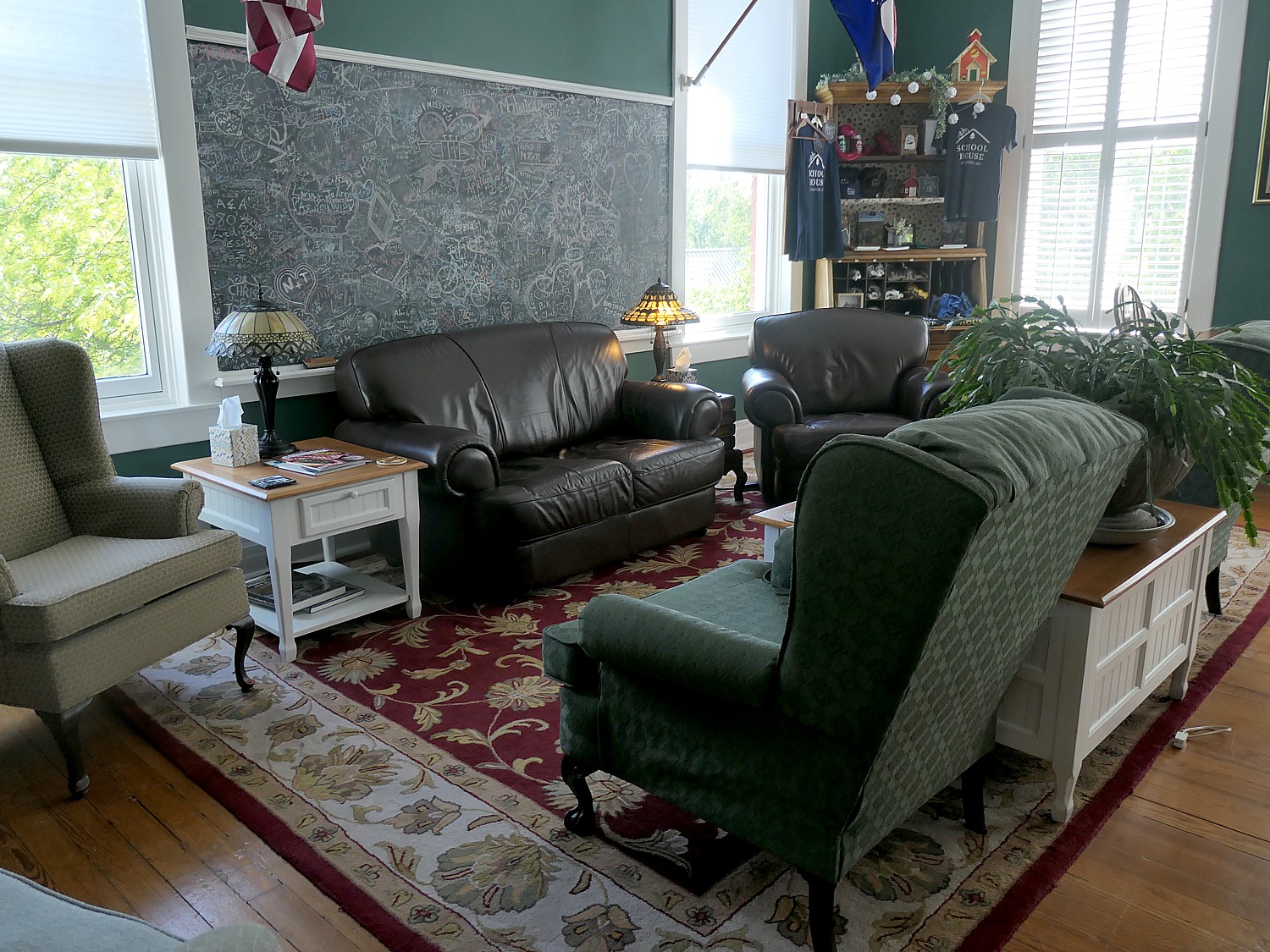
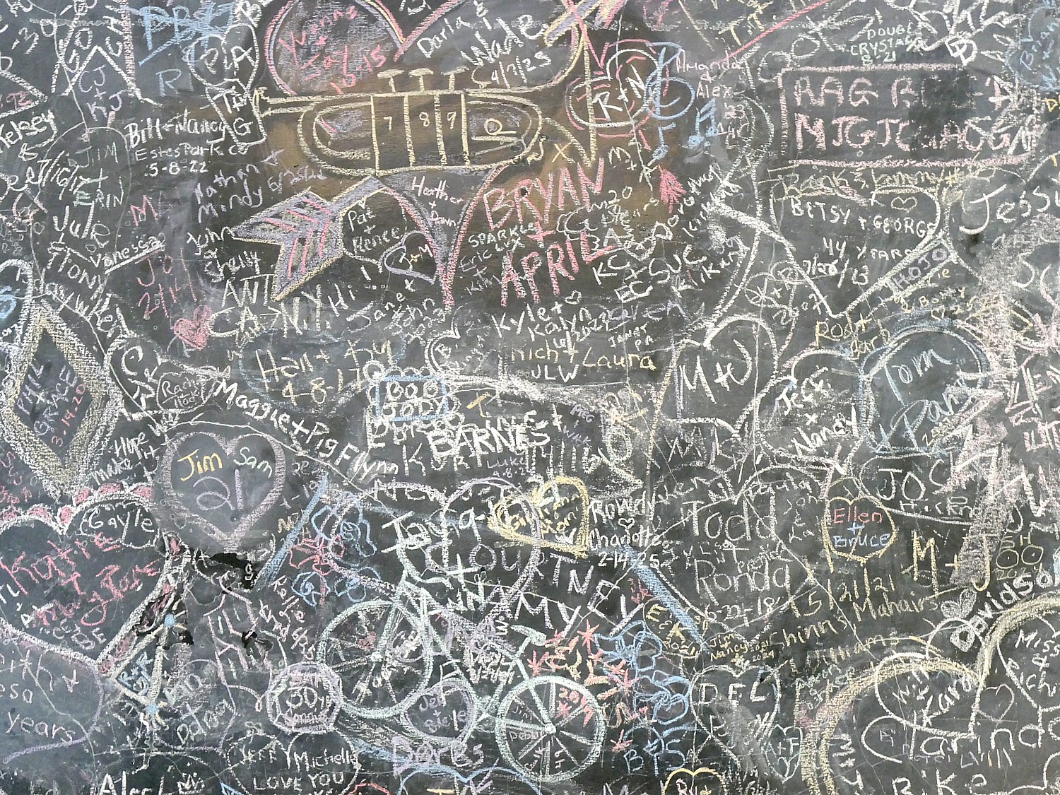
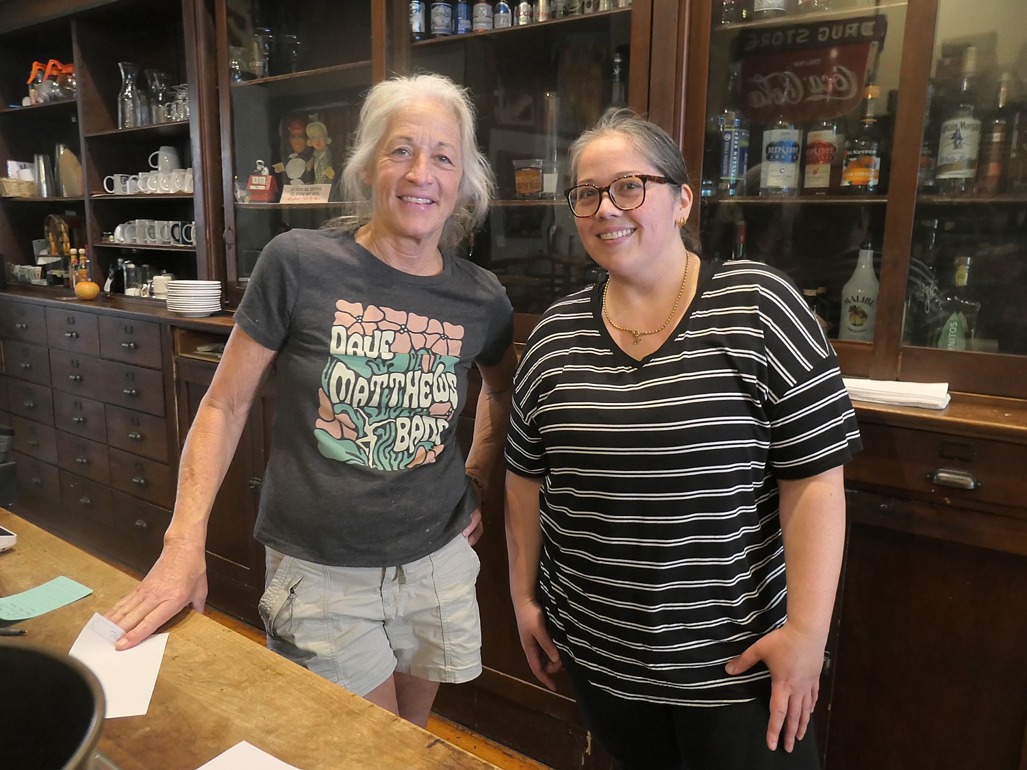
So charmingly repurposed and furnished, the School House BnB truly deserves its accolades as “best traditional bnb in Missouri”. I especially love how owner/operator Chandrika Hickman preserves the heritage – and the spirit – of a schoolhouse: the names of the rooms are delightful: Dick and Jane (which was occupied by our own Bill & Jill); Schoolmarm (which was occupied by a retired school teacher) and so forth. The parlor has a large chalkboard for guests to doodle on, and there are framed pages from old readers. A painting shows a class taking place in this very room now used as the dining room and lounge.
At 5 pm (after we have time to refresh), we are taken for a tasting at the A Frame Wine Garden, scenically set on a high cliff above the Katy Trail affording a stunning view overlooking the Missouri River, with tiers of porches. (We will ride the Katy Trail below us, the next day).
This night’s dinner is the best, most special of the entire tour. Wilderness Voyageurs arranges a private dinner at the Rocheport General Store restaurant where Chef Susan Schapira prepares a fantastic meal (the seafood ravioli in a white cream sauce is out of this world; the strawberry and pecan cake, with a perfect texture and sweetness, is beyond delectable).
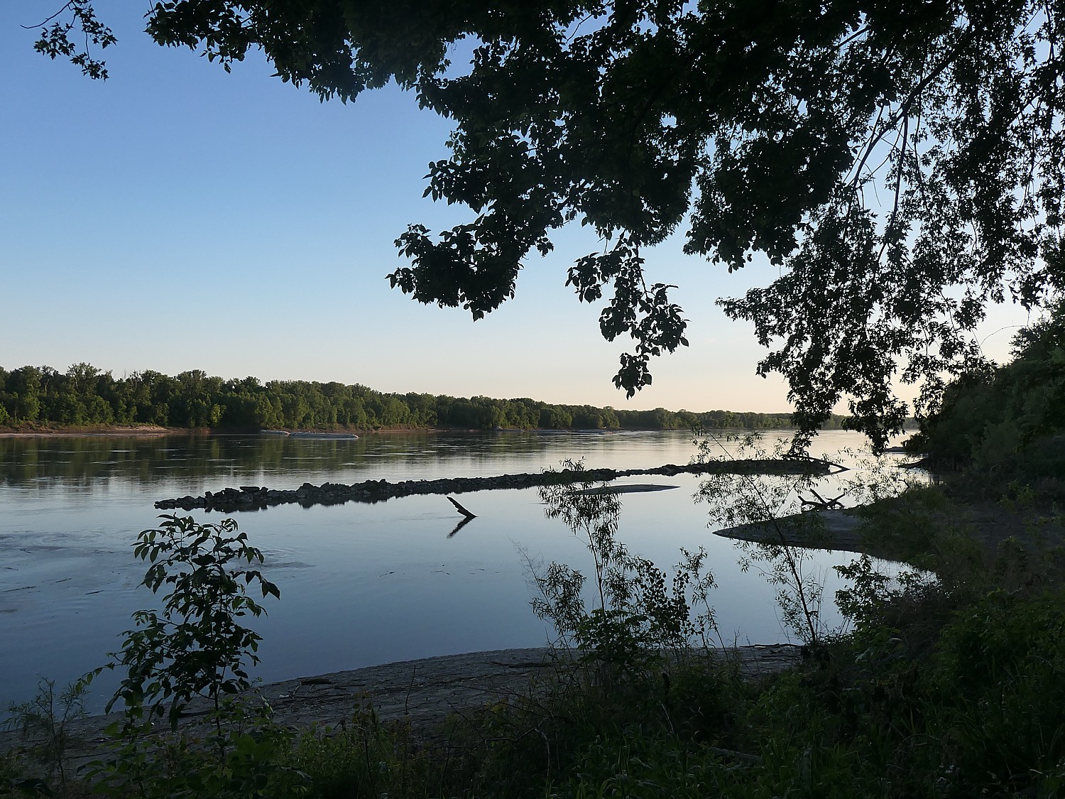
After dinner, a new friend joins me on a walk through woods to the river bank to enjoy the last rays of the sun on the river.
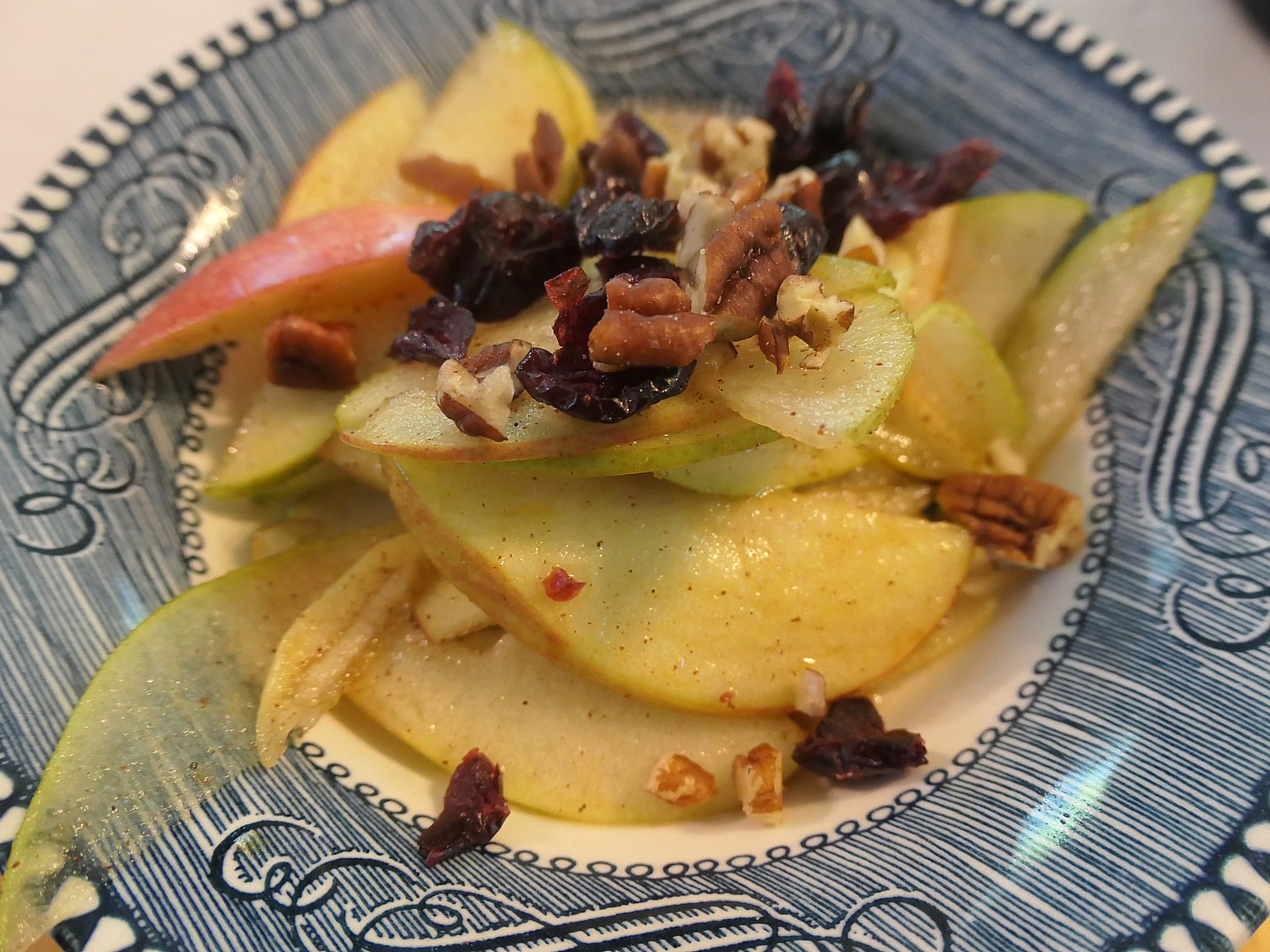
And then the breakfast at School House bnb! Incredibly scrumptious: croissant strata with bacon and cheese; maple lemon apple and pear salad; white chocolate banana muffin.
It is no wonder that the School House B’n’B repeatedly is named “Missouri’s #1 traditional B&B” (schoolhousebnb.com).
We set out from Rocheport for Jefferson City, for what proves to be the most scenic and interesting day.
Wilderness Voyageurs, Ohiopyle, PA, 15470, 800-272-4141, wilderness-voyageurs.com.
Next: Indigenous Pictographs & ‘A Social History of Missouri’ Mural
__________________
© 2026 Travel Features Syndicate, a division of Workstyles, Inc. All rights reserved. Visit goingplacesfarandnear.com, longislandpress.com/category/vacation-travel.com and travelwritersmagazine.com/TravelFeaturesSyndicate/. Blogging at goingplacesnearandfar.wordpress.com and moralcompasstravel.info. Visit instagram.com/going_places_far_and_near. X: @TravelFeatures Threads: @news_and_photo_features ‘Like’ us atfacebook.com/NewsPhotoFeatures. Send comments/questions to FamTravLtr@aol.com.