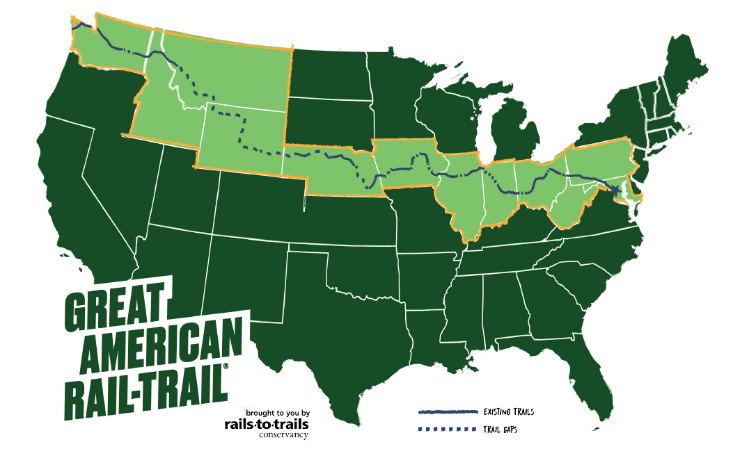
A vision for a 3,700 mile-long Great American Rail-Trail linking Washington DC to Washington State is becoming reality (map: Rails to Trails Conservancy)
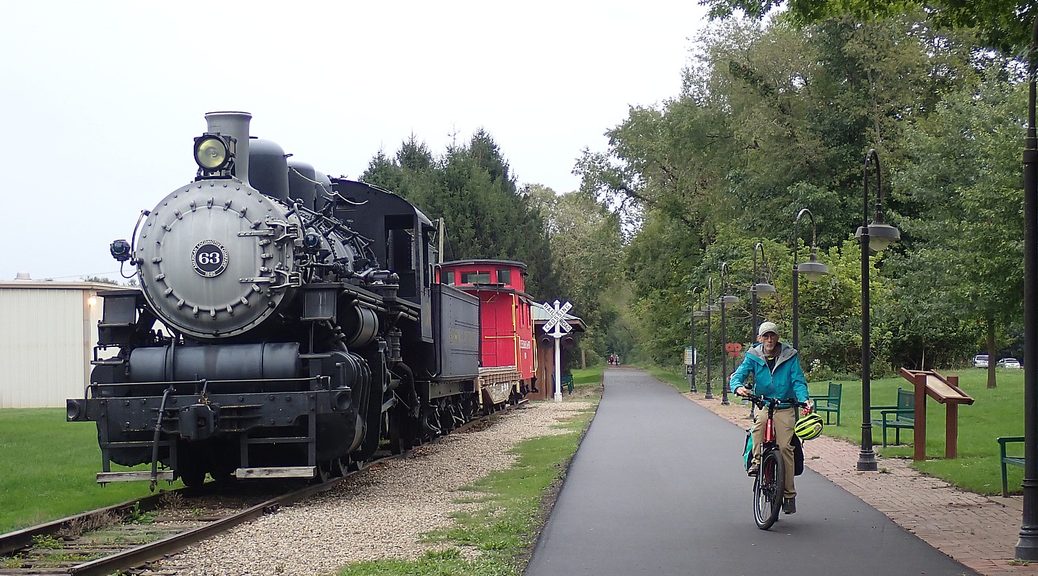
Imagine being able to bike 3,700 miles across the United States, from Washington DC to Washington State, on a network of connected, protected trails, the way people hike the Pacific Crest National Scenic Trail and the Appalachian Trail. This is the vision for the Great American Rail-Trail, and I didn’t have to imagine, because I was able to bike newly made trail connections bringing the GART to reality.
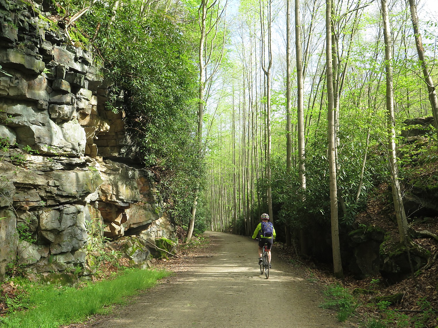
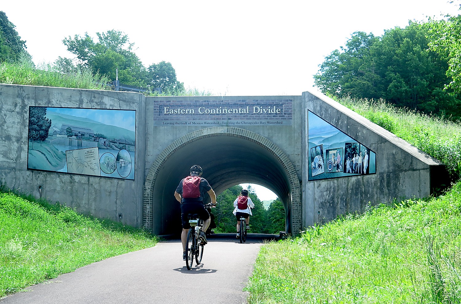
The trail now consists of more than 150 existing railtrails, canalways, bikeways and multi-use trails – 2100 miles through 12 states and DC – totaling 56% of the 3,700 miles when complete. These include some of America’s most famous and popular rail trails like the C&O Canalway from DC to Cumberland Md., where it connects to the Great Allegheny Passage (the GAP) railtrail to Pittsburgh, PA, which together form the longest (and most well used) completed stage, 350 miles long.
It would be the largest, most ambitious public transport endeavor since the Interstate Highway and the Intercontinental Railroad, and longer than the longest Interstate Highway, Interstate 90 (I-90), 3,020 miles from Seattle, Washington, to Boston, Massachusetts, and longer than the Intercontinental Railroad project, 1,911 miles.
But unlike the Interstate Highway or the Transcontinental Railroad, the Great American Rail Trail is an enterprise of the local people who want to transform abandoned byways into leisure trails and greenways that can be enjoyed by residents and visitors alike, contributing to health and wellness (when being healthy is also key to financial health, productivity and prosperity), quality of life and economic vitality, instead of federal government exerting its eminent domain power or corporations blighting the environment in the name of “commerce,” reclaiming commercial and industrial land for public use. And it is about transport – accessibility, mobility for those who prefer to travel safely by foot or on two wheels.
“The Great American Rail-Trail is the most ambitious [public lands project] to connect East and West Coasts,” said Rails to Trails Conservancy’s Kevin Belle, Project Director, Great American Rail-Trail. The Great American Rail-Trail brings the promise of a new American experience – comparable to Route 66. 50 million people live within 50 miles of the route.
GART was the dream 40 years ago of Rails to Trails Conservancy co-founder David Burwell, who had the vision of converting disused rail corridors into a continuous, cross-country trail network. “He believed trails connect the country,“ said Eric Oberg, R2T’s Senior Director of Programs. “Every trail head feels like that – a cross section of the place we live. Trails are where community happens now – the new Main Street.”
Rails to Trails Conservancy, which is stewarding the Great American Rail-Trail project and leading a coalition of more than 150 partners, announced it six years ago, when half of the 3,700 miles were in place. It took two years to devise the route. (See a map, list).
The task now is to fill some 80 gaps – 1,600 miles – which is what brings R2T project managers and developers around the country, working with local groups.
The states and agencies and organizations for the more than 150 trails that form the backbone were eager to become a part of the Great American Rail-Trail, fully appreciating the enormous benefits that railtrails, canalways, bikeways and greenways bring to cities, towns and rural villages, and what being identified with a national network would mean. Eric Oberg, R2T’s Senior Director of Programs, explained.
An economic impact study projects GART investments could generate more than $229.4 million in visitor spending, 2,500 new jobs and $104 million in labor income, and $22.8 million in new tax revenue.
The GAP, for example, cost about $1 billion to build but brings 1 million users (they know because they have sensors under the trail that count), who spend $120 million a year,. In addition to the benefits to locals – health and wellness, outdoor recreation, increased mobility and safety away from dangerous road traffic, higher property values – the people who are drawn from around the country and the world spend money on hotels, restaurants, gear – $30 million worth in Pittsburgh alone; some even find a new place to set up a business and raise a family.
You would have a network of outfitters and bike tour operators at the ready to provide rental bikes, shuttle service, book lodging or direct you to campgrounds or trailside hostels, who can assist you in doing stages – as many as you want linked together, or come back and do new sections. (Many of these services for the existing trails are also easily found on Great American Rail-Trail’s website, and R2T’s TrailLink and mobile app, www.traillink.com, which details 40,000 miles of trails nationwide, and several tour operators like Wilderness Voyageurs and Discovery Bicycle Tours already feature these trails.)
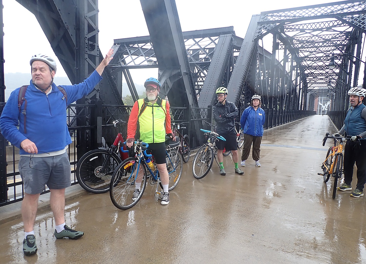
We have been invited by Rails to Trails Conservancy, to bike trails from Pittsburgh to Columbus and see the vision of the GART unfold, what has already been achieved, and the task ahead in filling the gaps.
We meet Kelly Pack, the Trail Nation Accelerator Program Director, who counsels communities in eight states (WA, MT, AZ, MO, AK, IA, VA, TN), which are just starting development of a vision for a trail network. “We hope to provide the initial start of planning process – mapping support, bringing stakeholders together, to understand the importance [and benefits] of trails.” She explains how R2T can organize virtual workshops and create a “learning cohort” with communities that have had success creating trails.
“Every place is different but the challenges and strategies may be similar.”
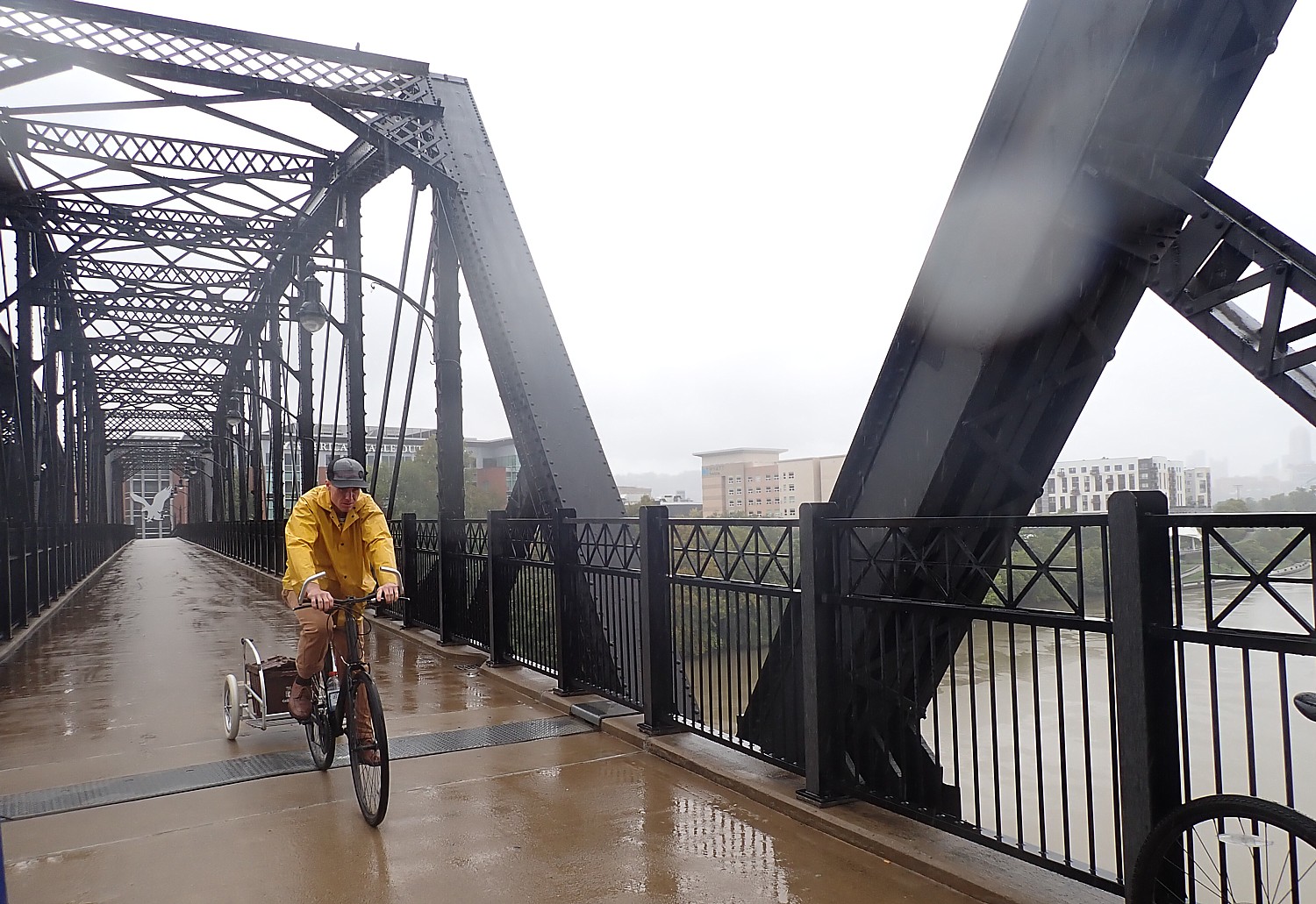
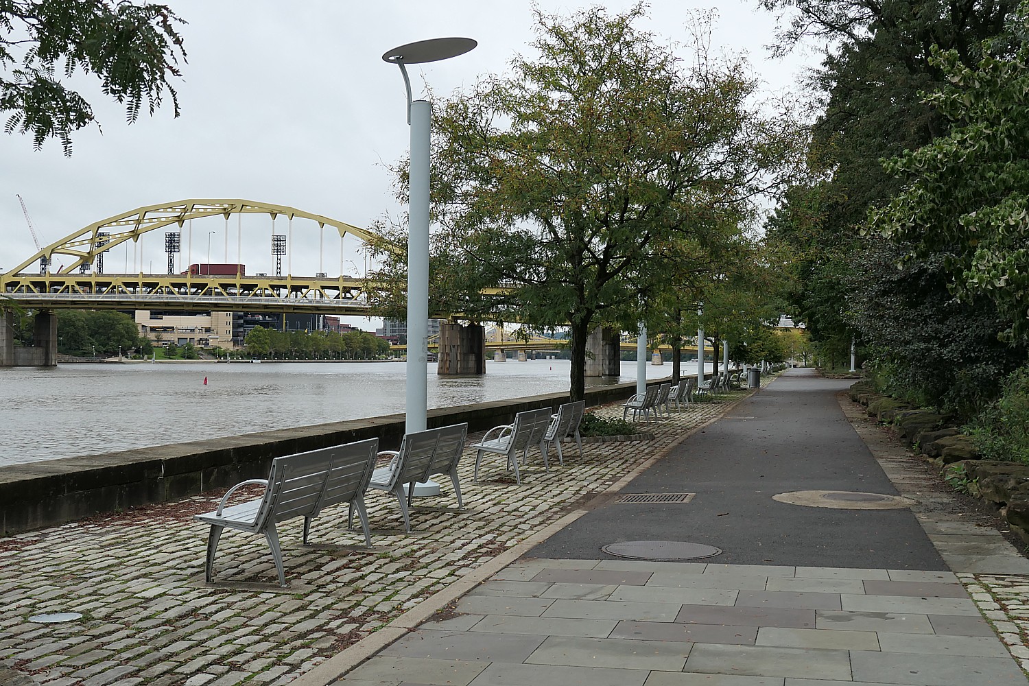
We start our ride towards the end of the famous and popular Great Allegheny Passage (GAP) trail, to see a success story: a gap 8.2 miles long from Homestead along the Monongahela River, crossing near the Hot Metal Bridge, into Point State Park in downtown Pittsburgh, where the GAP ends. It took 20 years and $80 million (and a change of mayors) to finally complete the gap in 2013.
Volunteers help maintain it, forging community and pride. The trail contributes to public health, wellness and quality of life, and property values increase in communities along the trail, especially by repurposing aging, decaying abandoned rail lines, bridges and trestles and waterfront.
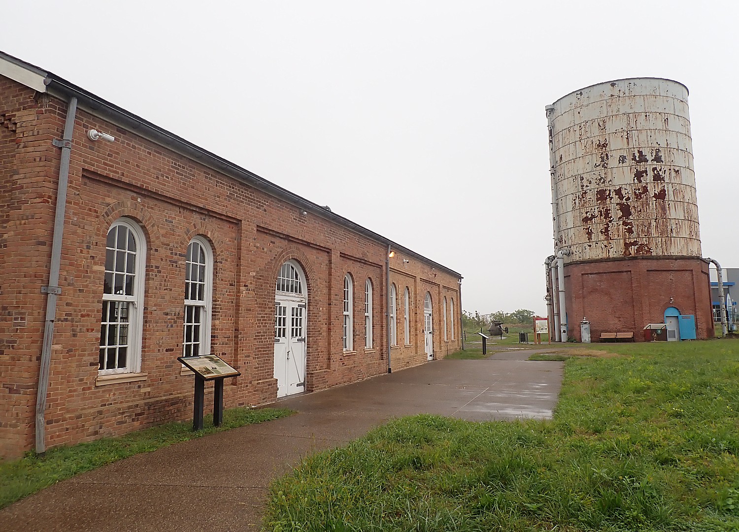
Along the trail, you see purposely left remnants of steel plants as a tribute and continuity of heritage and history and a source of interest. We come to the pump plant where steel workers attempting to unionize were rebuffed by Pinkertons summoned by the governor when they attempted to strike for better wages and conditions.
The trail passes by the NFL Steelers training center. “When they built the stadium, Mayor Tom Murphy, asked Steelers owner Art Rooney to move the stadium back so the trail could come through, reclaiming what was taken from the public by and for industry,” said Bryan Perry, Executive Director of the Great Allegheny Passage Conservancy.
We cross a bridge that used to be used to carry buckets of molten steel over the river, now repurposed to carry cars, bikes and walkers. Those steel plants and coal depots are gone now, instead, from the repurposed bridge you can see tech company buildings on one side, and hotels, housing, retail stores and a marina lining the other side, revitalizing the economy and the environment.
Indeed, Pittsburgh has been transformed from a carbon-choked polluted city to this glorious, wonderfully liveable, sustainable city. Not coincidentally, it is called “the City of Trails,” where six national and regional trails originate and three rivers converge, their riverfronts reclaimed for public space (GAP, Three Rivers Heritage Trail, Erie to Pittsburgh Trail, Pittsburgh-to-Harrisburg Main Line Canal Greenway, Potomac Heritage National Scenic Trail, and Industrial Heartland Trails Coalition (IHTC) Network). and Great American Rail-Trail.
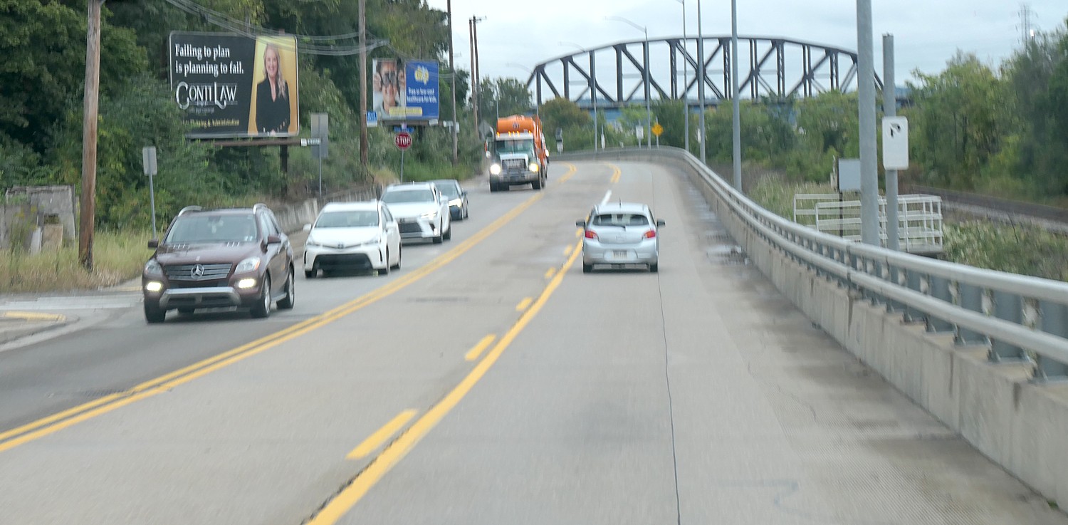
And so we come to where the Great Allegheny Passage ends at Pittsburgh’s Point State Park where we encounter the first significant gap, a 9.8 mile section along a highly trafficked West Carson street, before reaching the next trail on the Great American Rail-Trail route, the Montour, which the Pittsburgh coalition has been working for two decades to connect.
It is not just for the benefit of long-haul, out-of-town users. “Solving the problem of West Carson would make Pittsburgh safer, better for pedestrians, bikers – cars, trucks pass at high speed, there is no dedicated space for bikes,” said Scott Bricker, co-founder and Executive Director of Bike Pittsburgh (BikePGH), a bicycle and pedestrian advocacy organization. He noted that one-third of Pittsburgh residents do not drive.
“The trail system is only as strong as its links. Missing links deprive communities of the benefit of trail – economically, socially, quality of life and health,” said Kelsey Ripper, Executive Director Friends of the Riverfront.
“The key to the project is every single foot in every connection. There are 150 trails today – every foot took hard effort of all the people. Every one worth it,” said Belle, who has spent the past 10 years helping develop those links and connections.
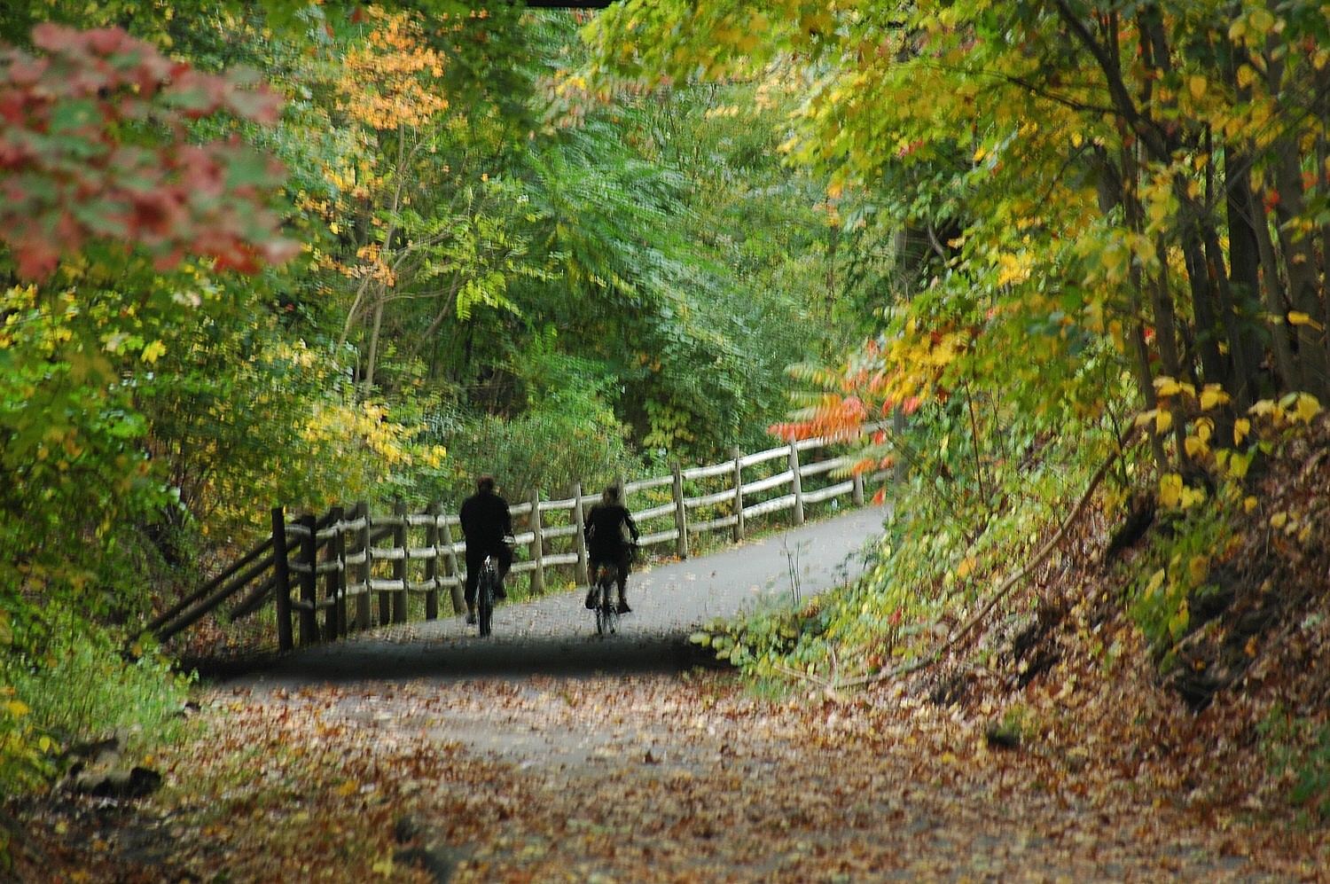
Autumn colors invite leaf-peeping by car, bike and campervan. Here are some of the best routes to steer your travels:
Roadtrippers Names Six Lesser-Known All-American Roads for a Memorable Fall Road Trip
There are National Scenic Byways and then there are Think of All-American Roads – a category above. These wholly American thoroughfares pass through 28 states, and automotive travelers can expect extra special features – beyond natural beauty – when they explore them. With fall season fast approaching, the road trip experts at Roadtrippers have compiled a list of six of their favorite routes to explore when the trees change color and the temperature becomes crisp.
To be designated a scenic byway, roads must have one of six intrinsic qualities: archeological, cultural, historic, natural, recreational or scenic. All-American Roads must have at least two of those qualities, and that’s what makes these routes extra special. While both National Scenic Byways and All-American Roads must be designated by the Scenic Byways division of the Federal Highway Administration, becoming an All-American Road means that travel on that road is a major part of the travel experience, or a “destination unto itself.” In other words, it’s not just another road with pretty scenery.
As of 2021, the last time the Federal Highway Administration added to its lineup of Scenic Byways, there are 150 Scenic Byways but only 37 All-American Roads.
“America’s roads are the envy of the world because car travelers have an up-close view of some of the most beautiful and historically significant places on the planet,” said Mary Heneen, CEO of Roadpass, the parent company of Roadtrippers. “Everyone’s heard of Route 66 and the Blue Ridge Parkway, two of the best-known All-American Roads, but there are lesser-known routes that are equally beautiful and offer a ‘wow factor’ that travelers might not expect.”
Roadtrippers staffers spend their workdays – and often their free time too – thinking about road trips and devising new ways to make the features of the app even more useful to travelers who love their automotive adventures. One of the latest features, introduced this spring, is the app’s new Autopilot feature, which uses patent-pending AI technology to allow users to customize their road trips based on their personal travel style.
The feature is especially useful to travelers planning multi-day trips, as they the app helps find accommodations that suit travelers’ needs, and it identifies roadside stops – called Extraordinary Places – that travelers can select based on their interests.
“By analyzing the data gathered through Autopilot, especially the stops travelers want to make along the way, we can clearly see that the vast number of our users think of the road trip as part of the experience and not just necessary drive time to get to their destination,” noted Heneen. “Travelers who like to explore, learn and reflect will be find many of our All-American Roads a great fit.”
Here are Roadtrippers’ top six picks for an epic All-American Road adventure this fall:
Historic National Roadin Illinois, Indiana, Maryland, Ohio, Pennsylvania and West Virginia: This 824-mile Midwestern road – known as U.S. Route 40 – became the first federally funded interstate highway in the U.S. more than 200 years ago. It is historically significant because it opened a route for goods to be transported across the country. The route even has its own headquarters and visitor center located in Uniontown, Pa. Travelers wishing to follow the entire route should plan at least 2½ days to experience some of the classic inns, diners and historic hotels that dot the path.
San Juan Skyway, Colorado: Travelers who are comfortable with some serious mountain driving will find this 233-mile route not only breathtaking in the fall – the region is known for its stunning yellow Aspens – but also a clear reminder of the rich heritage of the indigenous peoples who lived there centuries ago. The aptly named route summits at more than 14,000, offering views of the towering San Juan Mountains. Travelers pass ancient pueblo ruins and travel through classic towns. There are hot springs and even a narrow-gauge railroad for travelers who want to linger in this famed Colorado destination.
Great River Road, Arkansas, Illinois, Iowa, Kentucky, Louisiana, Minnesota, Mississippi, Missouri, Tennessee, Wisconsin: This 2,069-mile route follows the Mississippi River from the Gulf of Mexico to northern Minnesota, and it reminds travelers of how the mighty river impacted the lives of indigenous peoples such as the Chippewa and Dakota and slaves seeking freedom on the Underground Railroad. Travelers can expect to see numerous Extraordinary Places along the way, such as the Birthplace of Judy Garland, with a fun museum and shop (note: it’s not in Kansas), and the Mastodon State Historic Site. Interestingly, the Great River Road is an All-American Road in eight of the states it traverses but not in Mississippi and Missouri, where the road is designated a National Scenic Byway.
North Shore Scenic Drive, Minnesota: The Minnesota’s North Shore Scenic Drive is a terrific way to spend a colorful fall day. The 154-mile route encircles the shoreline of Lake Superior and showcases spectacular scenery throughout the fall. Travelers will see classic lighthouses and gorgeous waterfalls and pass through charming towns with historic inns, shops and museums.
Chesapeake Country Scenic Byway, Maryland: Although it is called a scenic byway, this 419-mile All-American Road is another good choice for an afternoon drive. Or you can take a few days and explore the many recreational and cultural attractions along the way. The route celebrates the lives of the farmers, shipbuilders, fishermen and others who worked the waters. Summer is a good season to travel the route too, as one of the towns along the way, Eaton, is home to one of the largest plein air festivals in the world, in July.
Northwest Passage Scenic Byway, Idaho: History buffs will enjoy traveling this 202-mile north-central Idaho road showcasing the route of the Lewis and Clark Expedition as they searched for the Northwest Passage. Travelers will also see the places settled by the Nez Perce tribe as well as abundant cultural and recreational attractions.
Roadtrippers road trip planning app is designed to streamline discovery, planning, booking and navigation into an engaging and intuitive process. Roadtrippers has helped millions of users plan more than 38 million trips across 7 million points-of-interest and covering more than 42 billion miles (visit www.roadtrippers.com).
Rails to Trails: Five Top Trails to Bike this Fall
Exploring a new trail by bicycle offers a refreshing way to enjoy nature’s seasonal transition. Rails to Trails Conservancy, which advocates for converting obsolete rail lines into recreational trails and guides cyclists to the trails with its TrailLink, has compiled this list of five fantastic trails from around the country that are ideal in fall:
Banks-Vernonia State Trail : The Banks-Vernonia State Trail meanders 23 miles through forests and pastoral farmland northwest of Portland, Oregon. Thirteen bridges provide amazing views of the Coast Range and a variety of flora and fauna also populates the route. The popular trail also includes access to side paths displaying railroad relics and to a number of rivers and creeks.
Farmington Canal Heritage Trail: First a canal, then a railroad, and now a trail, the nearly completed Farmington Canal Heritage Trail has a rich history. Completed segments span Connecticut south to north, from New Haven to the Massachusetts border, for nearly 50 miles. The paved pathway runs through fields, farms and forests, as well as areas of residential and commercial development.
Monon Trail: Stretching across central Indiana, the 27.1-mile Monon Trail connects Indianapolis neighborhoods, Carmel, and the northern suburbs of Westfield and Sheridan. The trail offers a mix of lively Midwest towns and scenic countryside.
Cherry Creek Regional Trail: The Cherry Creek Regional Trail is a picturesque 47.8-mile route that connects downtown Denver with the suburban and rural Arapahoe and Douglas counties. Paralleling Cherry Creek, the trail meanders through urban landscapes, parks, and a variety of suburban and rural areas.
Silver Comet Trail: Situated northwest of Atlanta, Georgia the Silver Comet Trail runs over 60 miles through landscapes of pine stands and farmland in the west, and more residential areas in the east. The rail-trail gets its name from the shiny Silver Comet passenger train that provided luxury service between New York and Birmingham in the mid-1900s. Today, three trestles along the trail provide scenic views of the surrounding landscape.
Get out on any of these amazing trails with Rails to Trails Conservancy’s TrailLink (traillink.com). Rails to Trails’s advocacy has helped create 41,400 miles of multiuse trails across the country – safe, off-road routes for walking, biking and being active; 150 trailnetworks with at least one in eachstate,$24 billion in federal funding for projects and connected 90 million through TrailLink. Its latest project is to advocate for the creation of the Great American RailTrail, which would link Washington DC to Washington State, 3,700 miles on connected railtrail networks. Visit railstotrails.org for information and to get involved.
Three New Routes Added to US Bicycle System, Now 20,000 Miles on the Way to 50,000
The Adventure Cycling Association has announced major expansions to the United States Bicycle Route System, including three completely new routes, bringing the total to top a major benchmark of 20,000 miles.
The U.S. Bicycle Route System is a developing national network of officially designated, numbered, and signed routes that use existing roads, trails, and other facilities appropriate for bike travel. It will eventually encompass 50,000 miles of routes and open new opportunities for cross-country travel, regional touring, and commuting by bike. It also benefits communities by providing new bicycle routes, enhancing safety, and increasing tourism and economic activity.
The three new routes are USBR 51 in Arkansas, USBR 76 in Wyoming, and USBR 85 California. USBR 76 will be Wyoming’s first U.S. Bicycle Route. Additionally, Florida extended USBR 15 to go north-south through most of the state and California extended USBR 95 to finish the coastline.
Digital maps for all designated U.S. Bicycle Routes are available to the public for free on the Adventure Cycling Association website.
With the new designation and realignments, the U.S. Bicycle Route System now boasts over 22,000 miles of routes in 35 states and Washington, D.C. At least 25 states are currently developing additional U.S. Bicycle Routes.
“It’s satisfying to see the USBRS network grow and know that we are playing a part in making long distance bicycle travel more accessible to more people through these routes,” said Jenn Hamelman, Director of Routes. “None of this would be possible without new and long-standing partnerships with state departments of transportation and local advocates.”
The nonprofit Adventure Cycling Association promotes bike travel and is the only organization that coordinates national development of the U.S. Bicycle Route System. Adventure Cycling staff offer technical assistance, volunteer coordination, and outreach to help states achieve official designation of routes. You can see a map of the corridor plan or photos of USBR 15 in Florida here.
The U.S. Bicycle Route System and the Adventure Cycling Route Network are quite different from the Great American Rail-Trail being promoted by the Rails to Trails Conservancy. Both the USBRS and ACRN use existing infrastructure to route cyclists between destinations while the end goal of the Great American Rail-Trail is to establish a 3,700 mile route across the country, east to west, from Washington D.C. to Washington state, entirely using paths and trails separate from automobile traffic.
There are places in America where you can see a live steam engine run at speed (go fast) in regular service, ride to the top of one of America’s only accessible 14,115-foot mountains (higher than Machu Pichu), and roll on the rails of a Pennsylvania 150-year-old railroad lost and considered a national treasure.
Here’s a look at three of the most interesting, unique railroads in the US:
THE BROADMOOR, MANITOU and PIKES PEAK COG RAILWAY(Manitou, CO to the summit at Pikes Peak – 14,115 feet)
This is one 14-thousand-foot mountain in the US that you don’t have to climb. You can take a unique train (a cog) at The Broadmoor Manitou and Pikes Peak Cog Railway. This is America’s highest railway reaching a height of 14,115 feet. This is where the words to the song “American the Beautiful” were composed. This iconic railway is one of only two cog railways in the U.S. and runs all year long (it is closed on certain holidays, like Christmas). Originally built in 1891 and owned and operated by The Broadmoor, this historic railway is the highest Railroad in America, the highest cog railway in the world, one of Colorado’s top attractions, and one of the nation’s most unique experiences. For information and reservations, hop onboard at www.cograilway.com
THE GRAND CANYON RAILWAY(Williams, AZ on Rt. 66 steps from South Rim, Grand Canyon)
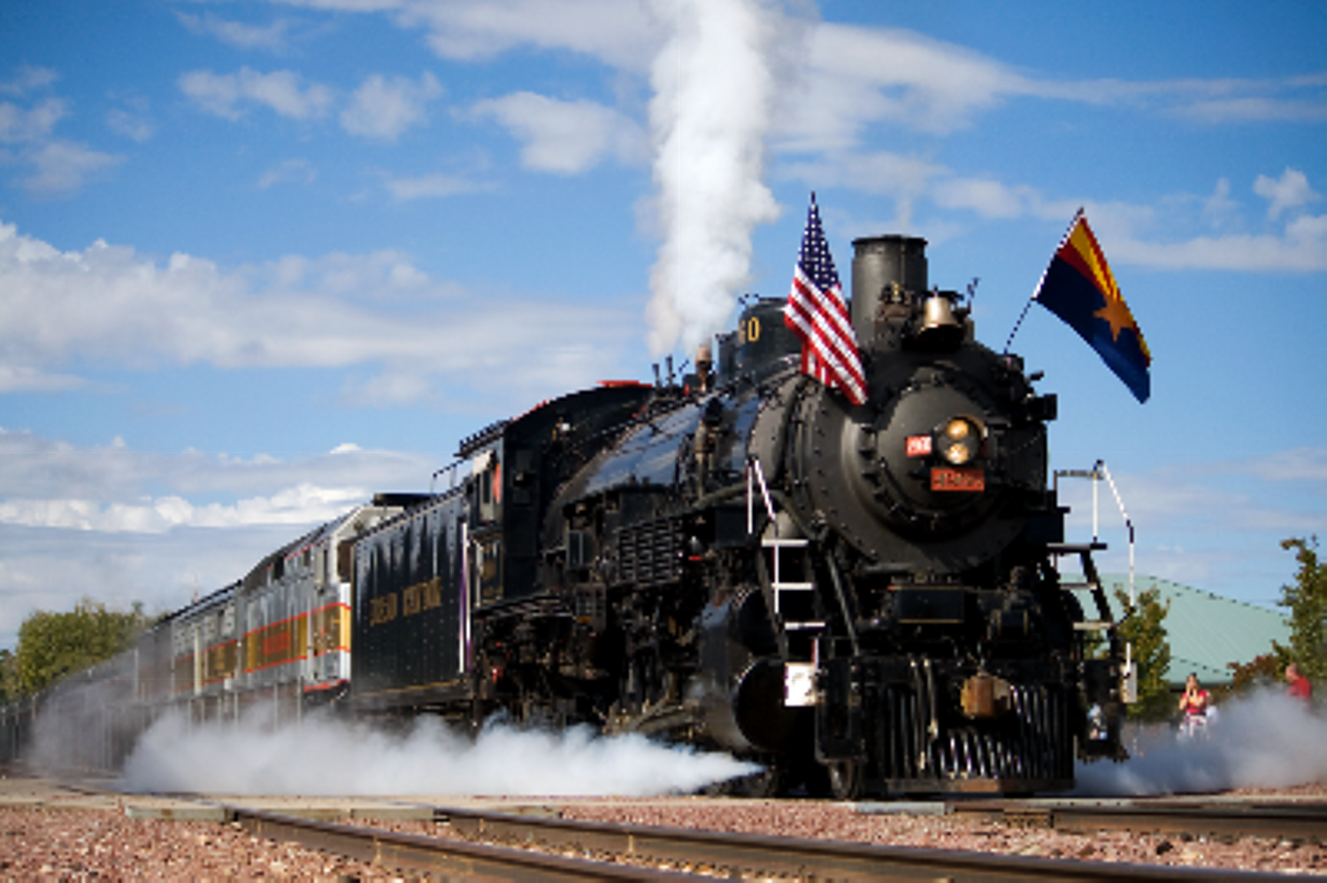
The Grand Canyon Railway has been taking people to the South Rim since 1901.
Grand Canyon Railway has been taking people to the South Rim of the Grand Canyon since 1901 before the land was a national park. Built by the legendary Atkinson, Topeka, and Santa Fe (ATSF), the Grand Canyon Railway runs from Williams, AZ, on historic Rt. 66 to within steps of the Grand Canyon South Rim and El Tovar. The pristine train, comprised of railcars from the 1930s, 1940s and 1950s, including luxury dome cars and an open platform observation car, as well as vintage coaches with opening windows, departs at 9:30 a.m. and returns at 5:45 p.m. with a 2.5-hour layover at South Rim of Grand Canyon. The train takes an estimated 70,000 cars off the road. It runs daily nearly every day of the year except on certain holidays such as Christmas.
On select days during the year, the Railway pulls the daily train once a month with a massive 100-year-old steam engine built in 1923, which runs on waste vegetable oil. There is no extra charge. It is believed that the Grand Canyon Railway is the last standard gauge passenger railroad in the US, where steam engines are still scheduled to pull revenue trains.
Visit www.thetrain.com or call 1-800-THE-TRAIN (1-800-843-8724) for updated and current information on the hotel and the train.
THE EAST BROAD TOP RAILROAD—Orbisonia, Central Pennsylvania
This is one of the true treasures of American railroading. The Smithsonian considers the 150-year old steam railroad an American Treasure and one of the country’s best-preserved examples of 19th-century American narrow-gauge railroads and industrial complexes.
The East Broad Top Railroad (EBT), located in Orbisonia, PA, is nestled in the rolling hills and farmlands in the central part of the state. The EBT shut down in 1956 and is running again with a century-old steam engine pulling one-hour train rides with space available in comfortable enclosed passenger cars, open-air cars, or even a vintage caboose. Trains run on a nine-mile round-trip ride from the historic station in Orbisonia to a picturesque picnic grove and back and through a classically beautiful Pennsylvania valley, nearly untouched by the rushing, modern and worried world. Guided tours of the Railroad’s remarkably intact late 19th/early 20th-century machine shop complex are also available every day that trains operate. The Railroad runs through October, with holiday trains in November and December.
Reservations are strongly suggested, as this Railroad’s renaissance draws national and international attention. For information and reservations, visit www.eastbroadtop.com or call 814-447-3285.
After Oktoberfest, Take a Scenic Road Trip by Campervan of Bavaria
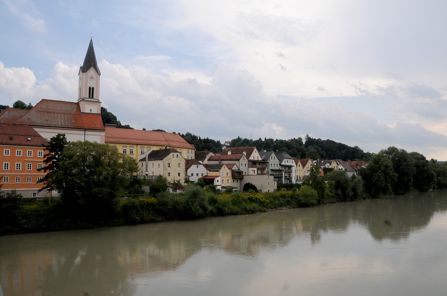
Munich’s 189th Oktoberfest, taking place in Munich from September 21 to October 6, 2024 will again draw millions to the Bavarian capital for a deep dive into local culture – and some serious beer drinking. But, after days of partying, even the most dedicated will need a refreshing change, and Munich-based roadsurfer RV rental suggests the perfect hangover cure: rent a small, fully-equipped campervan and hit the road to explore Bavaria’s stunning landscapes, castles, and villages.
Here are their suggestions for a 4, 5, or 6-day post-Oktoberfest road trip:
4-Day Alpine Campervan Round Trip from Munich
Enjoy mountains and castles on this 4-day round trip from Munich. First stop: Garmisch-Partenkirchen, at the foot of the Alps, to explore the Partnach Gorge, or take a cable car up Zugspitze, Germany’s highest peak. Spend the night in the Bavarian Alps.
The next day take the scenic drive to Füssen, home to Neuschwanstein and Hohenschwangau castles. Continue towards Oberstdorf in the Allgäu region, but make sure to stop at King Ludwig’s Linderhof Palace. Camp in Oberstdorf, a hub for hiking and winter sports.
Drive west for your last night to Lake Constance, explore historic Lindau, and enjoy views of the surrounding Alps. Head back to Munich the next day, via a scenic drive to Berchtesgaden, where you can visit the historic Eagle’s Nest or take a boat ride on the Königssee. If time allows, stop at Lake Chiemsee before returning your roadsurfer.
5-Day Fall Trip along the German Alpine Road
This journey takes you along a section of the German Alpine Road, a 280-mile scenic route from Lake Constance to Königssee. On a five-day itinerary you pass through stunning landscapes, past castles, charming villages, and crystal-clear lakes framed by the Alps in their autumnal glory.
Pick up your campervan in Munich and drive to Füssen. Visit Neuschwanstein Castle and enjoy stunning views from Marienbrücke. Explore Hohenschwangau Castle and take a walk around Alpsee before camping near Füssen.
From here, head to Oberammergau to see its famous frescoes and wood carvings. Continue to Garmisch-Partenkirchen, take a cable car up the Zugspitze and explore the dramatic Partnach Gorge.
The next day, drive your roadsurfer to Walchensee for a swim or relax by the lake. Continue to Tegernsee for a boat trip or hike. Overnight near the lake before continuing your Bavaria road trip with stops at Herrenchiemsee Palace on the way to Königssee, where you can take a boat to St. Bartholomew’s Church, explore nearby Ramsau and spend your last night around Schönau.
Hike to Obersee the next morning for lake views, before returning to Munich.
6-Day Romantic Road: Culture and History
This 6-day itinerary offers a well-paced journey through the highlights of the Romantic Road, combining cultural exploration, historical sites, and scenic beauty, all while enjoying the flexibility of traveling by campervan.
Pick up your roadsurfer in Munich and drive to Landsberg am Lech, to explore the historic town square and Gothic Church. Camp near the Lech River and continue to Augsburg the next day (day one and two could be combined). Here visit the Fuggerei, Augsburg Cathedral, explore the town square and stay overnight at a local campsite.
Next day’s highlight is medieval Rothenburg ob der Tauber, where you wander the cobblestone streets, visit the Medieval Crime Museum, and climb the Rathaus tower. Overnight near Taubertal nature reserve.
From Rothenburg continue to Würzburg where you can visit the Würzburg Residence and Marienberg Fortress, before continuing the next day to Dinkelsbühl, with its old town walls, St. George’s Minster, and the colorful houses around Weinmarkt. The next day, drive about 120 miles to Füssen with the must-see Neuschwanstein and Hohenschwangau Castles. Camp near Füssen for the final night.
Camping: For routes and camping spaces go to roadsurfer spots, an app-based booking platform with access to 10,000 individual private camping spots (currently available in Europe only).
Roadsurfer, a Munich-based RV/campervan rental, operates a European network of 70 locations in 14 countries, plus North America stations on the U.S. West Coast, as well as Vancouver and Calgary. The company offers a total fleet of 8000 vehicles, making Roadsurfer a worldwide market leader. Their compact, lifestyle-oriented campervans and RVs are fully equipped and come road trip ready. Bookings include unlimited miles and a free second driver.