By Karen Rubin, Travel Features Syndicate, goingplacesfarandnear.com
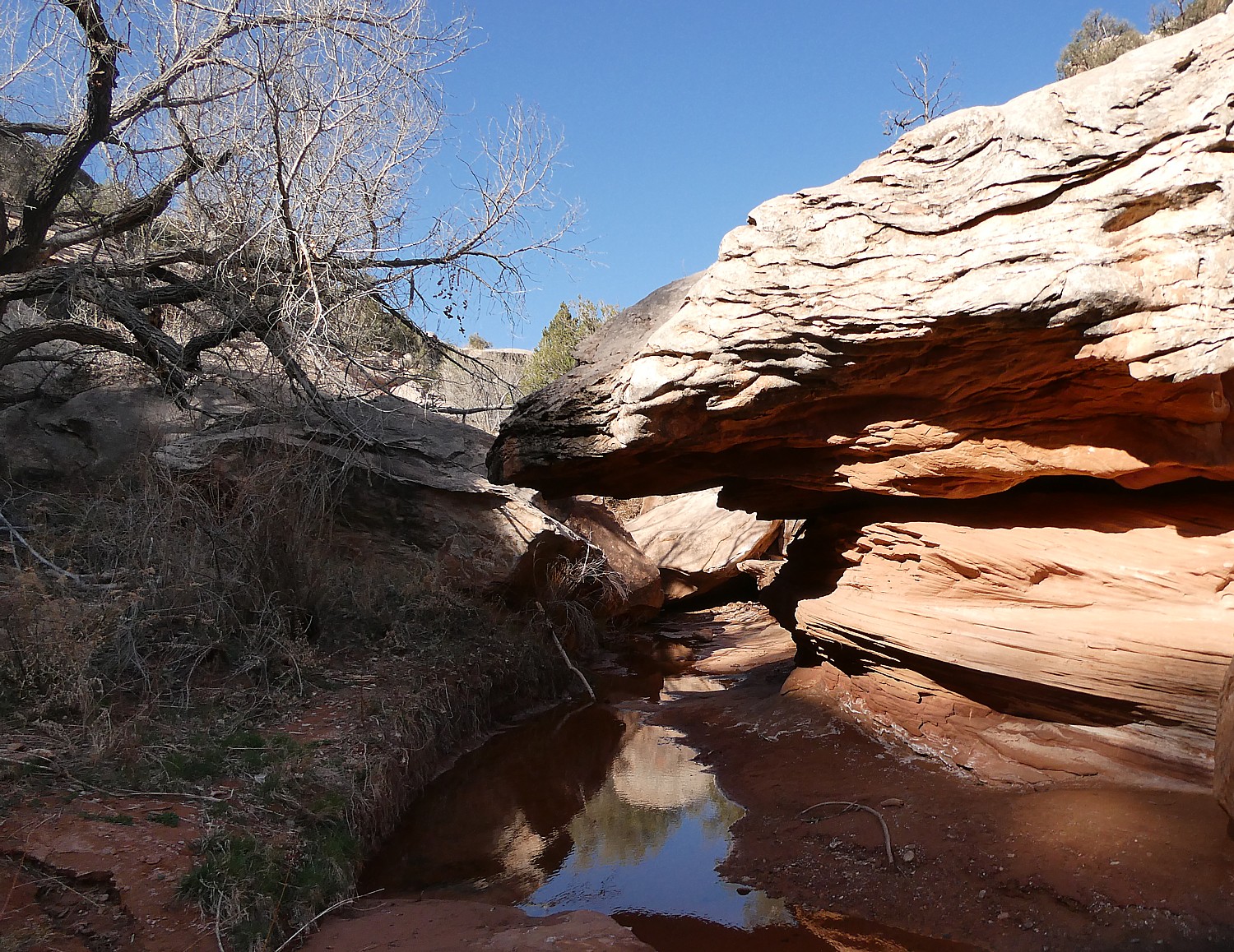
Most Americans might not think of New York State first in context of the American Revolution and independence – Boston, Philadelphia are more top of mind. But it will surprise virtually everyone to know that more battles – and pivotal ones – of the Revolution were fought in New York than any other. In fact one-third of the battles and incursions were fought in New York, which the British considered vital to their conquest of the continent. Here are some of the places and events commemorating America’s 250th in New York State:
Fort Ticonderoga
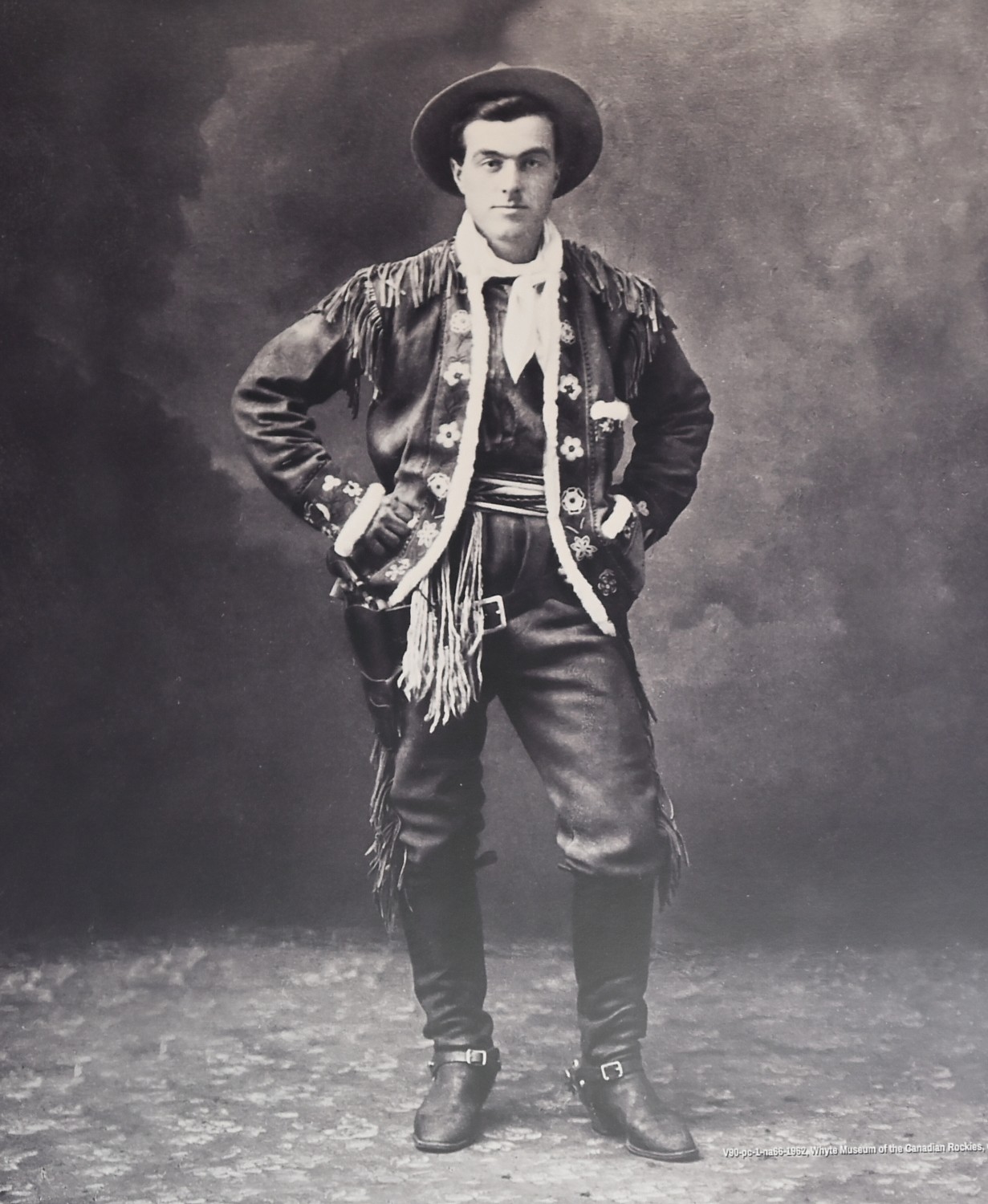
At the outbreak of the Revolutionary War, Ethan Allen and Benedict Arnold realized that the British Fort Ticonderoga made an easy target for the American rebels. They captured the fort in 1775 with a band of Green Mountain Boys only weeks after Lexington and Concord, making it America`s first victory in the Revolution. Visitors can tour the restored fort, research library, museum galleries, and acres of beautiful land overlooking Lake Champlain and see artillery demonstrations and frequent reenactments. Fort Ticonderoga Real Time Revolution™ Event Series (Adirondacks): The iconic historic site continues honoring its role in America’s origin story with the Real Time Revolution™ event series, designed to bring the Revolutionary War to life on the very grounds it took place through reenactments of key events. One of the highlights takes place during Independence Day Weekend, with a signature reenactment, “Return of an Army,” depicting the Northern Continental Army’s retreat to Ticonderoga during the same period that the Declaration of Independence was being signed in Philadelphia (102 Fort Ti Road, Ticonderoga, NY 12883, 518-585-2821).
Saratoga National Historical Park (Saratoga Battlefield)
Two hotly contested Revolutionary War battles here ended in an American victory which some proclaim as one of the most important in world history. Visit the Saratoga National Historical Park (Saratoga Battlefield) visitor center with film, light map, museum exhibits; tour the scenic 10-mile auto and bike road and hike historic paths. The park also has four other sites located nine miles north of the battlefield around the villages of Victory and Schuylerville: Victory Woods where British General Burgoyne’s forces made their last stand, the 155′ Saratoga Monument with panoramic views of the Hudson Valley, General Philip Schuyler’s 1777 home and estate, and the Saratoga Surrender Site (648 Rte 32, Stillwater, NY 12170, 518-664-9821, x 2980, www.nps.gov/sara to plan your visit).
Fort Stanwix National Monument

Fort Stanwix National Monument offers a full-scale reconstruction of the original fort built in 1758 by the British during the French and Indian War (re-created from the original British plans) and occupied by Americans during the Revolutionary War, where you can engage with costumed interpreters and really appreciate the complex dynamics surrounding the War for Independence.

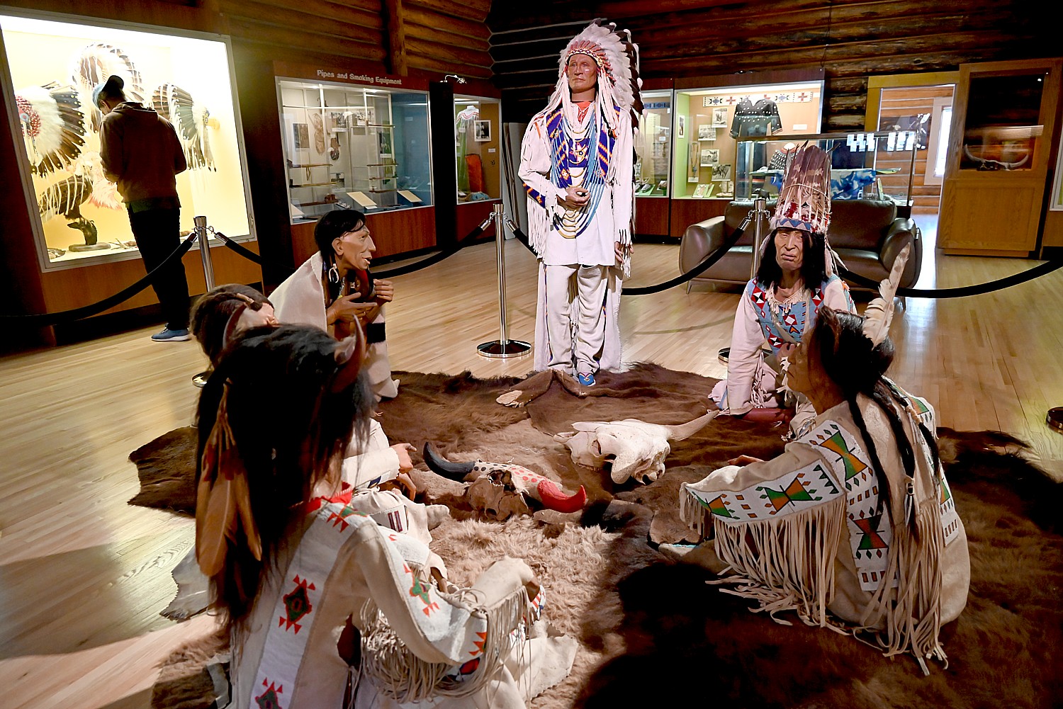
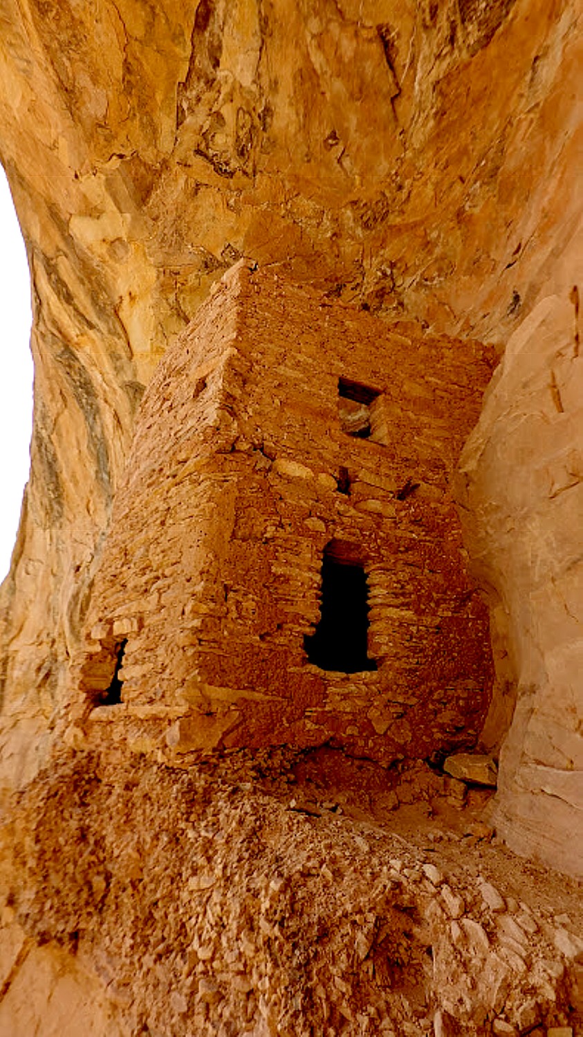
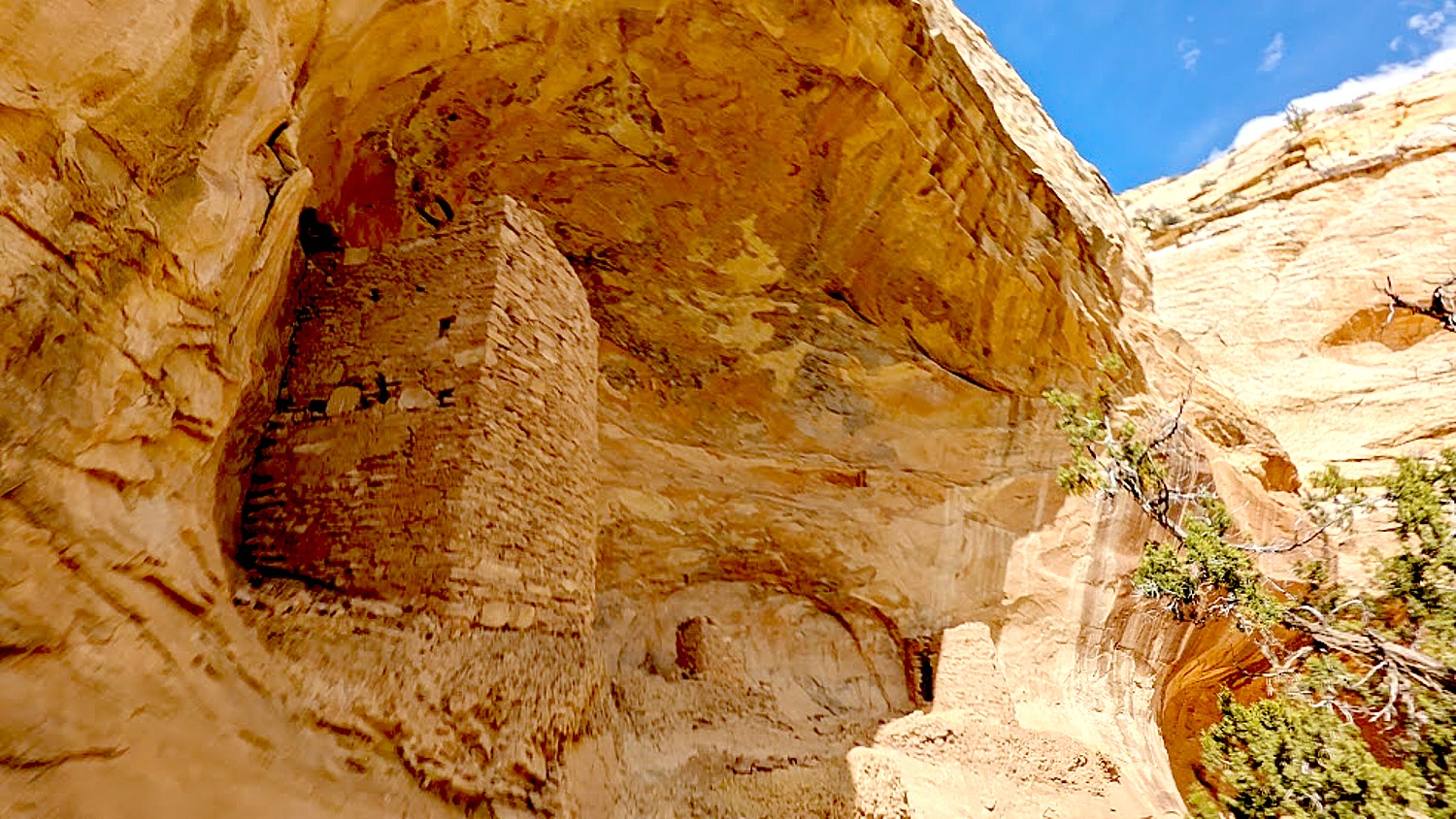
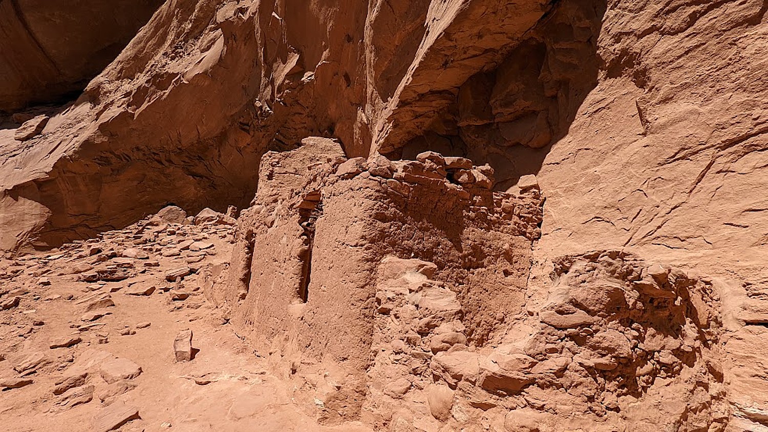
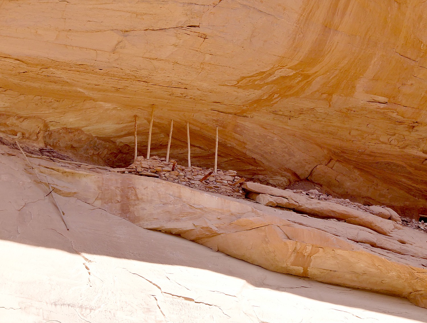
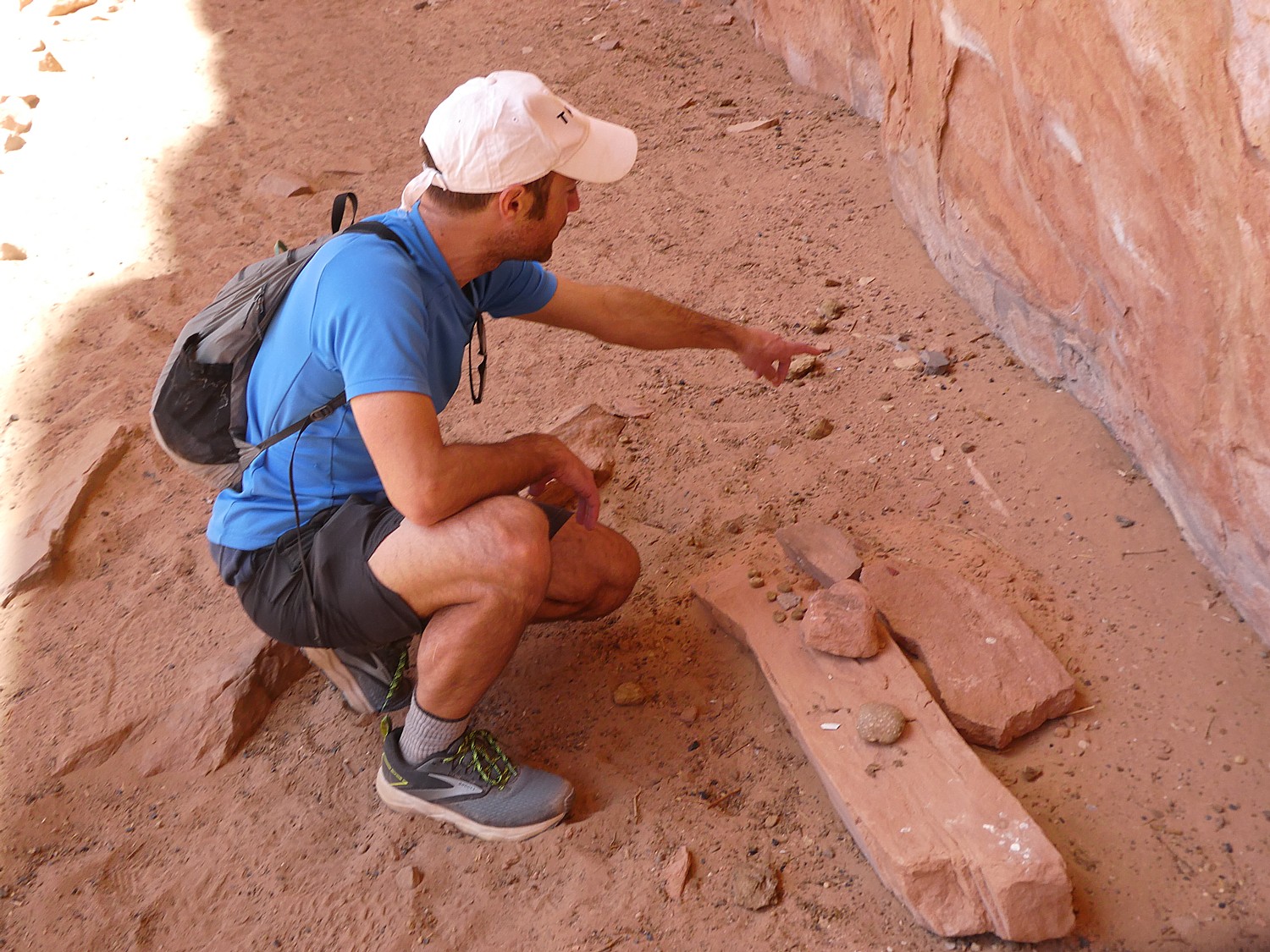
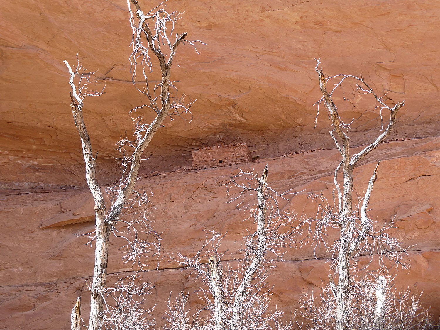
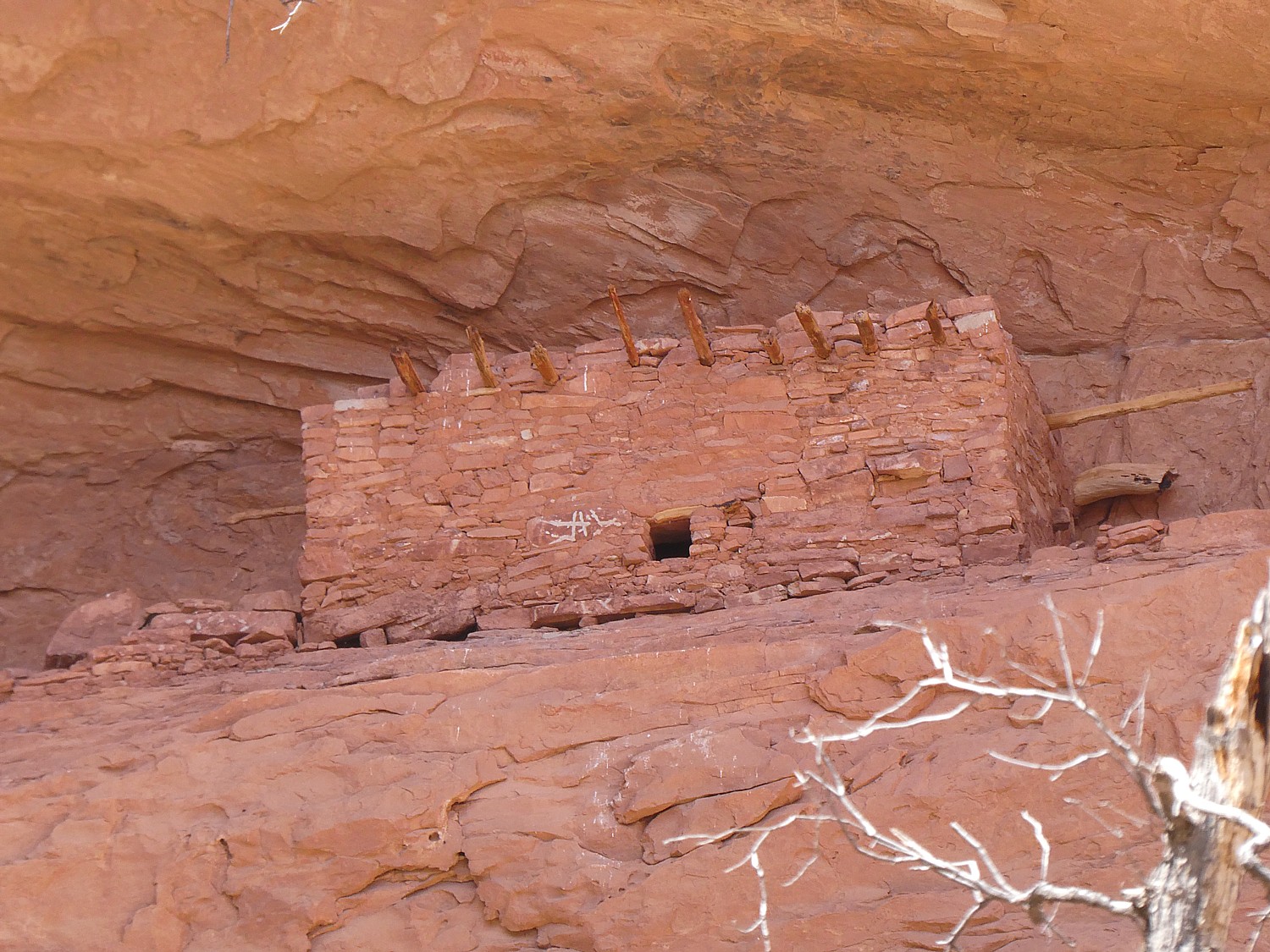
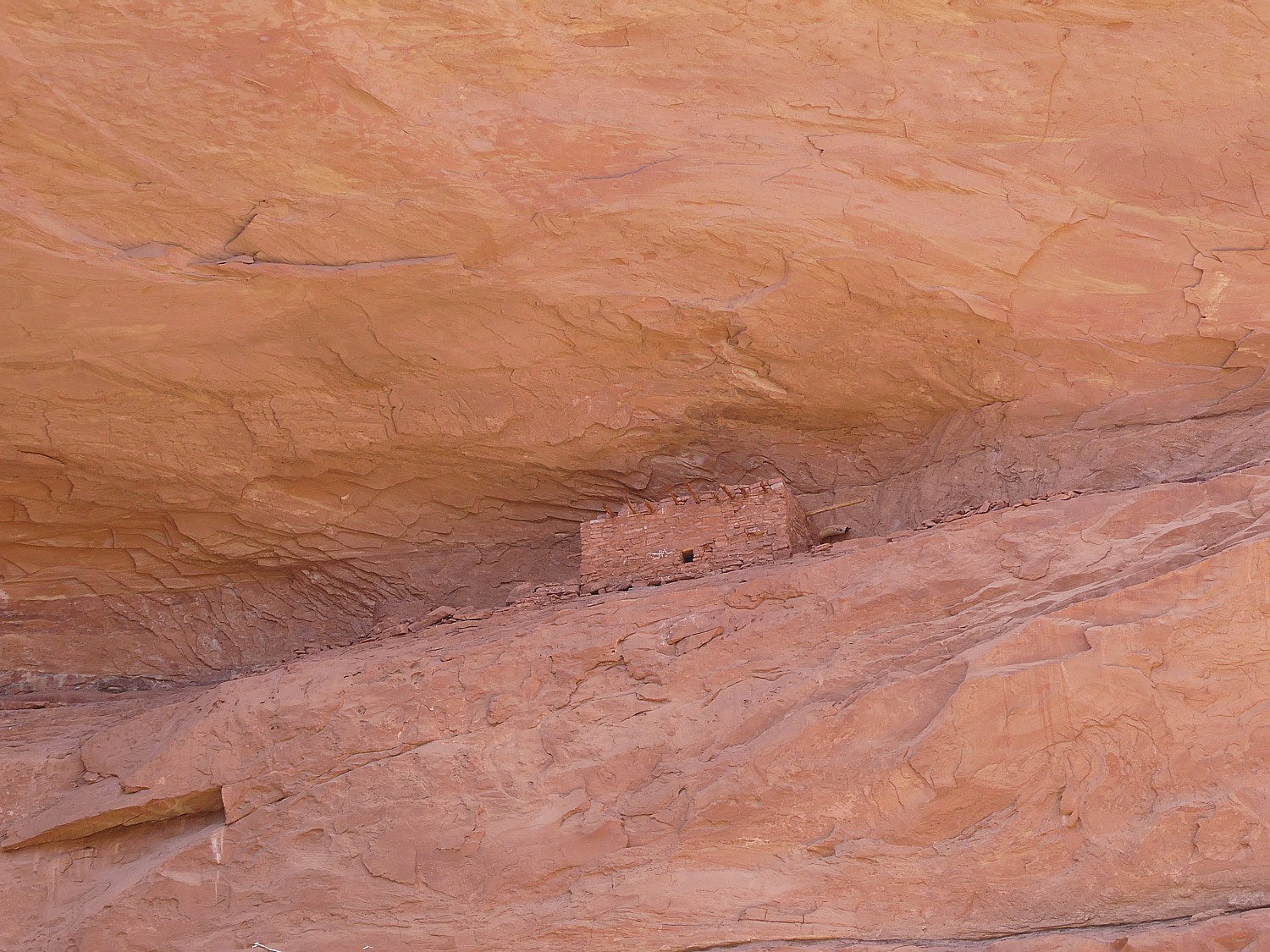
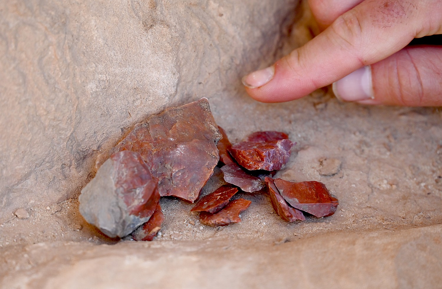
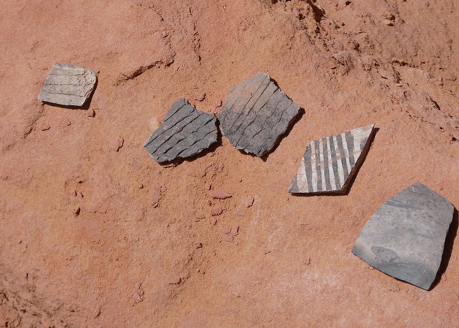
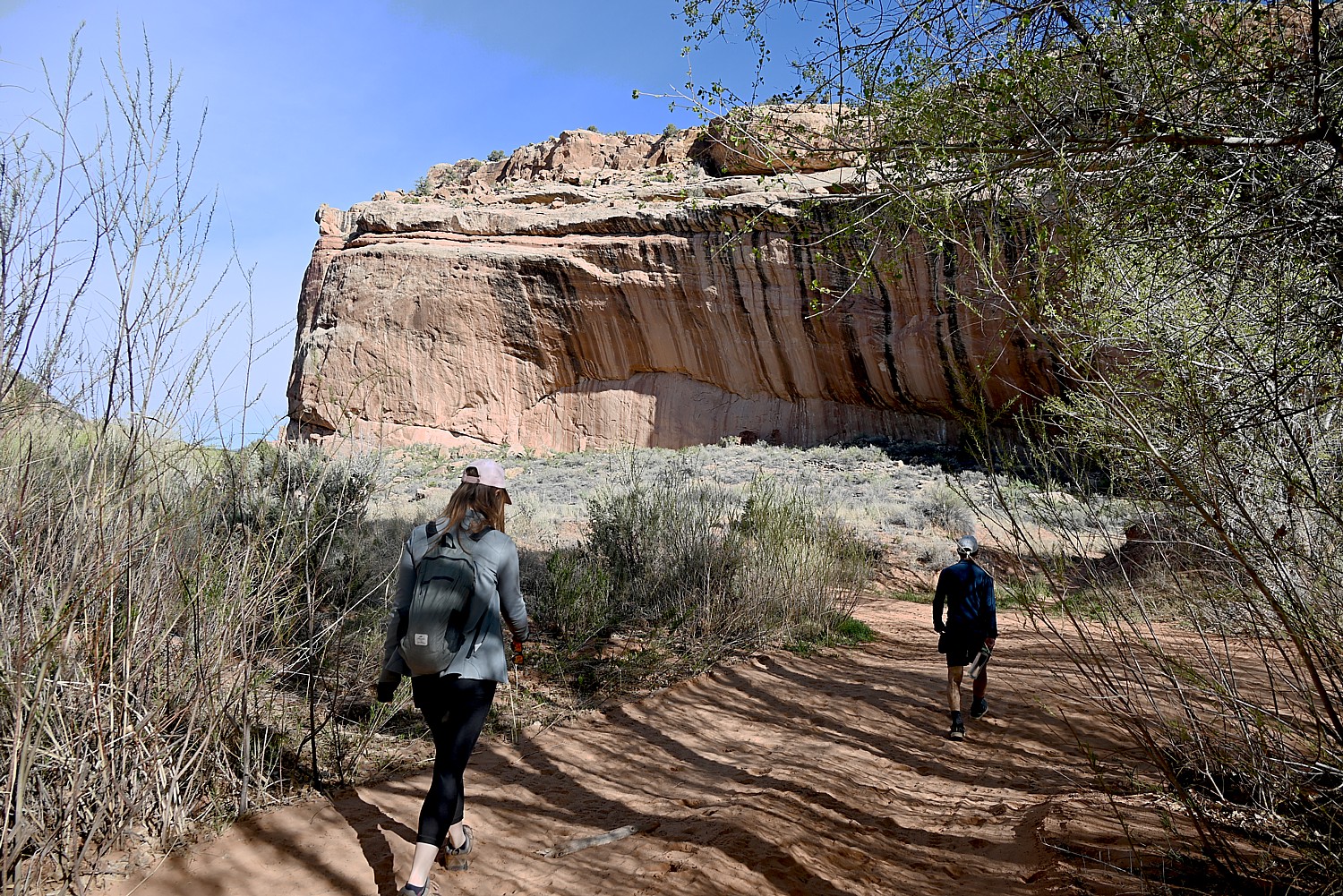
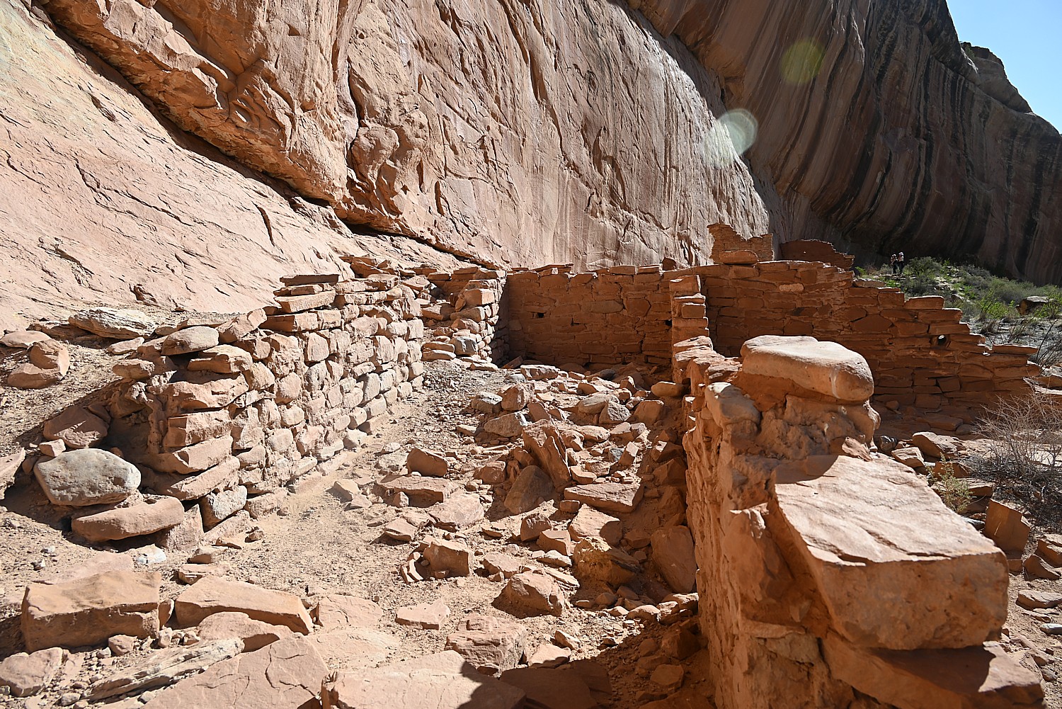
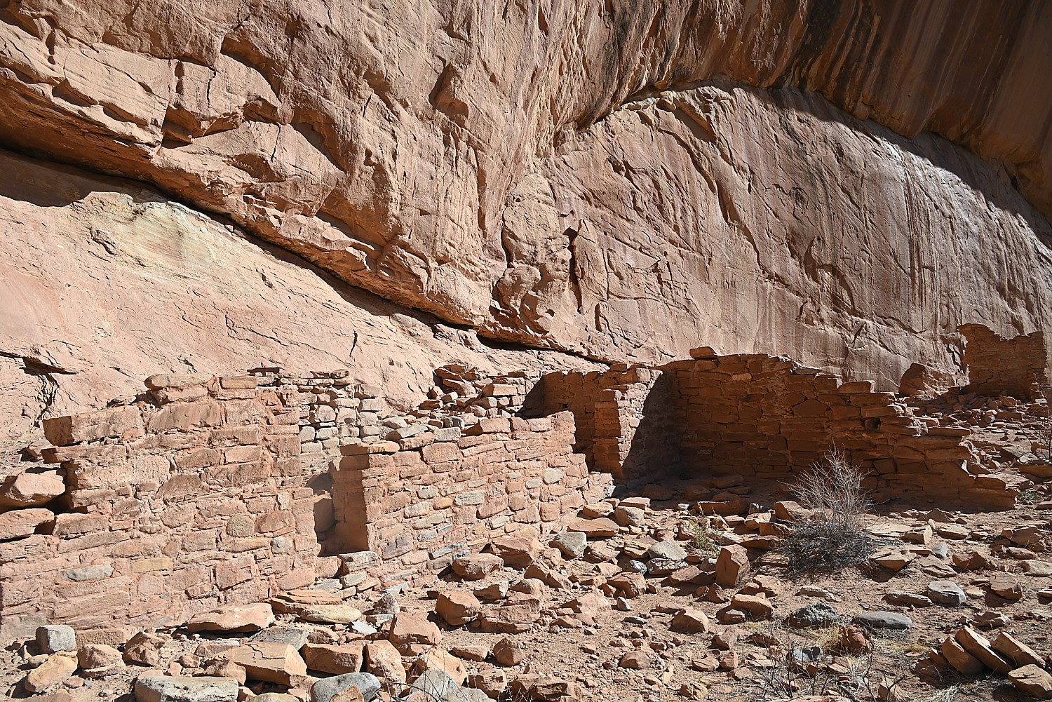
In August 1777, Fort Stanwix, under the command of Col. Peter Gansevoort, successfully repelled a prolonged siege by British, German, Loyalist, Canadian and American Indian troops and warriors commanded by British Gen. Barry St. Leger – becoming the only American post never to surrender to the enemy throughout the entire War of Independence. Significantly, the failed siege, combined with the battles at Oriskany, Bennington, and Saratoga thwarted a coordinated effort by the British in 1777, under the leadership of Gen. John Burgoyne, to take the northern colonies. The Americans’ success (after so many defeats) led to American alliances with France and the Netherlands. Troops from Fort Stanwix also participated in the 1779 Clinton-Sullivan Campaign and protected America’s northwest frontier from British campaigns until finally being abandoned in 1781.

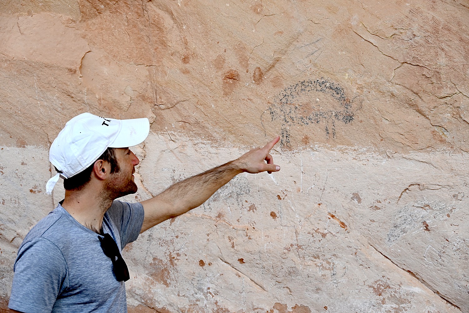
At the Marinus Willett Center, explore centuries of history through interpretive exhibits and cases of artifacts unearthed on the site that put into context the colonials and the indigenous people who lived here (that will surprise you), and why New York State was so crucial to the Revolution – not just logistically, but as a critical source of food supplies for the troops. The park also collaboratively manages both the Oriskany Battlefield State Historic Site and the Steuben Memorial State Historic Site, all three locations inexorably connected from the time of the American Revolution. (100 N James St, Rome, NY 13440, (315) 338-7730, https://www.nps.gov/fost/learn/historyculture/index.htm)
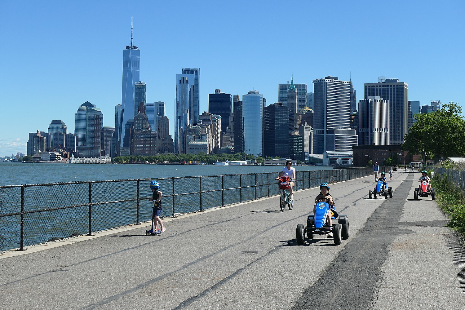
New York City Hosts ‘Sail 4th’ Spectacular

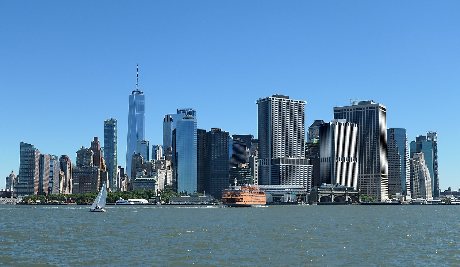
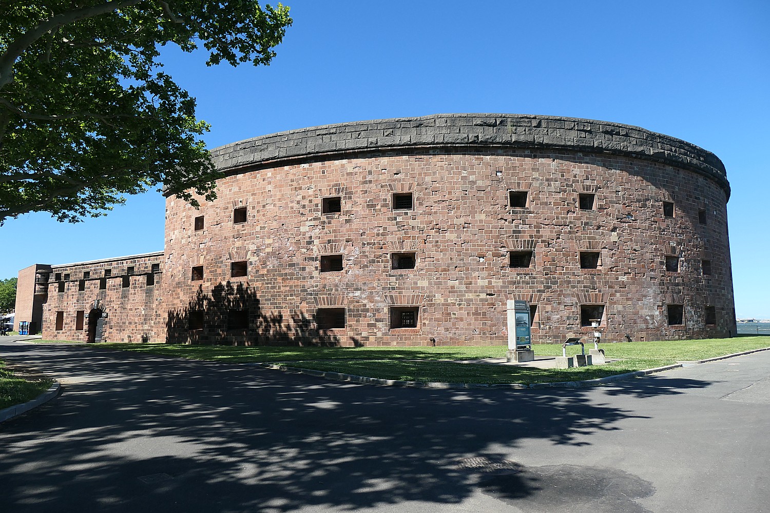
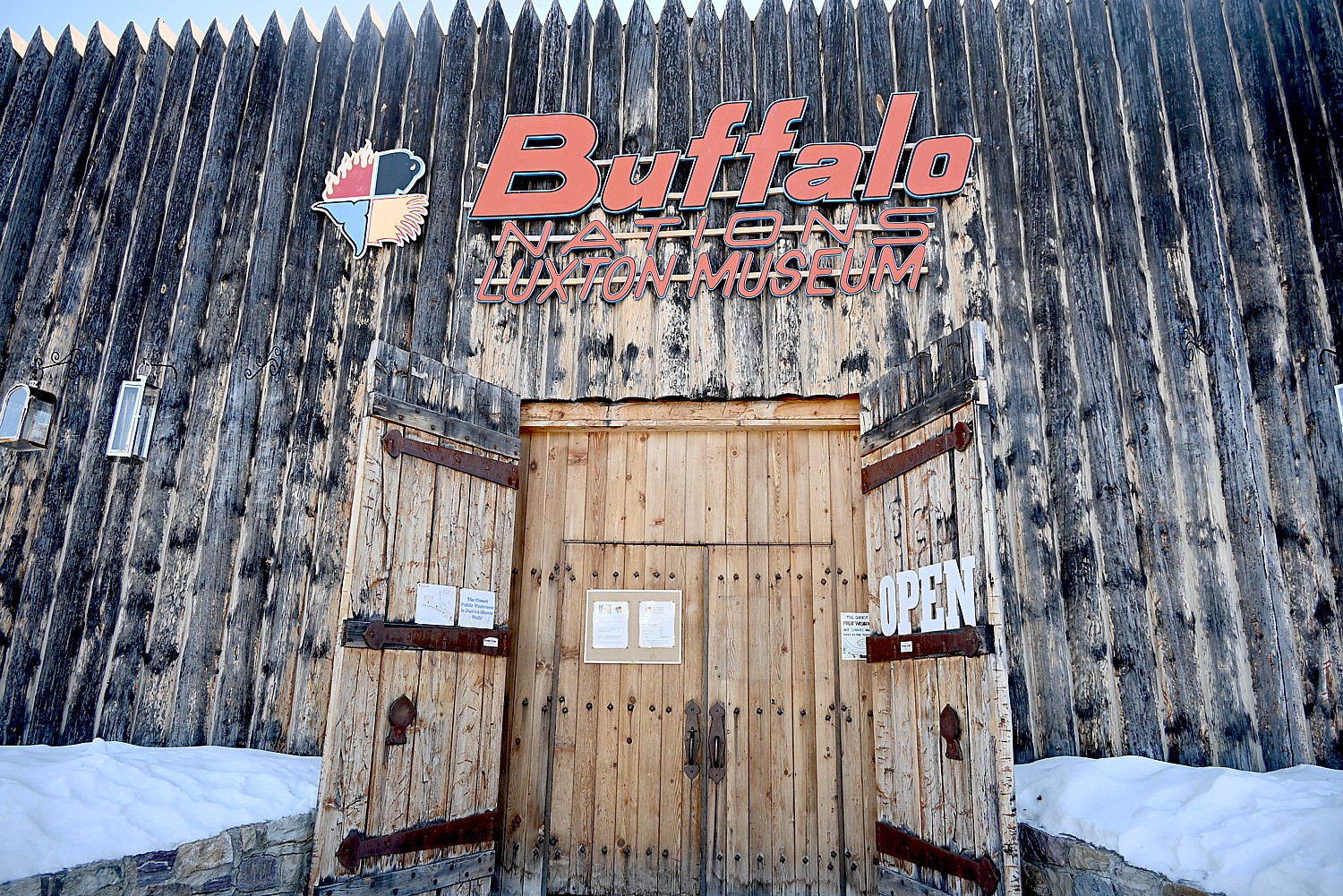
New York City which celebrated its 400th anniversary throughout 2025, is where America’s entire history is on display – the indigenous people who lived here before the Europeans, the Dutch founding in 1625 with the establishment of Fort Amsterdam and how diverse cultures built the city and continue to be the hallmark – at the Museum of the City of New York (a superb film unrolls 400 years in 30 minutes) (1220 5th Ave, www.mcny.org). One of the more unexpected places to explore America’s Native American history is at National Museum of the American Indian, a Smithsonian Institution, housed at Alexander Hamilton’s Custom House on Bowling Green (right around where King George III’s statue would have been ripped down by patriots) (https://americanindian.si.edu/visit/ny).

New York City will have its share of blockbuster events celebrating America’s 250th. One of the most sensational is “Sail 4th 250”, taking place July 3-9, 2026, with 30 Tall ships and 30 Grey Hull ships from 32 nations bringing 10,000 officers, cadets, crew and diplomats to parade down the East River on July 3rd up the Hudson River on July 4. Open to free public visits through July 9 (www.sail4th.org).
Macy’s 50th anniversary fireworks on July 4th will be especially spectacular with an International Aerial Review, headlined by the U.S. Navy Blue Angels.
The Blue Angels will then headline the FourLeaf Air Show at Jones Bach State Park (date change from Memorial Day Weekend to July 5 – 6) to celebrate America’s 250th.
The New York Historical is opening its new Tang Wing for American Democracy on June 18, 2026, greatly expanding both the landmark building and The Historical’s wide-ranging schedule of exhibitions, educational initiatives, and public programs. Dedicated to the history and future of the nation’s founding principles, the 71,000-square-foot Tang Wing will open as the United States launches the celebration of its 250th anniversary. On view now: Declaring the Revolution: America’s Printed Path to Independence which features the documents that provided the ideological and philosophical underpinnings for the Revolution and the founding of a new kind of government (by the people) and that raised the rabble, forged a collective consciousness and identity, and inculcated the outrageous idea that a ragtag collection of colonial people of diverse race, ethnicity, religion and national origin could and should take on the most powerful empire on the globe (on view through April 12); also, Stirring the Melting Pot: Photographs from The New York Historical Collections. The New York Historical will present a slate of special exhibitions throughout the anniversary year. New York’s first museum, The New York Historical is a leading cultural institution covering over 400 years of American history. (New York Historical, 170 Central Park West, New York NY 10024, 212-873-3400, nyhistory.org)
NYC Revolutionary Trail: Echoes of Revolution will launch in June 2026 to celebrate America’s upcoming 250th anniversary. Founded by The Gotham Center for NYC History at The Graduate Center, City University of New York, the multimedia 90-minute, 3-mile walking tour in downtown Manhattan reframes New York at the heart of the American Revolution. Partnering with Video Game Publisher Ubisoft and Creative Technology Studio Sugar Creative, the Gotham Center, Echoes of Revolution is a FREE, mobile, geo-located immersive walking tour that uses augmented reality to place visitors inside Revolutionary-era New York. Starting at the Battery and ending at Federal Hall via Bowling Green, Wall Street, and other pivotal sites, visitors will relive pivotal historical moments from the founding of the United States, uncover the stories that shaped the nation’s beginnings in the actual locations where they took place, and have a close-up experience of the “city at the heart of the Revolution,” with each stop providing audio narration with site information, character profiles, videos and links to Center’s Library. Echoes of Revolution is a new version of Gotham’s original NYC Revolutionary Trail App and will also partner with the Museum of the City of New York for the upcoming exhibit, “The Occupied City,” to ring in New York’s 250th celebration (https://nycrevolutionarytrail.org)
Follow Washington’s Culper Spy Ring Trail on Long Island:

The Culper Spy Ring was an intelligence network that George Washington himself credited as crucial to the American victory over the British Empire. Largely following Route 25A (Long Island Heritage Trail), President George Washington traveled this route in 1790 by horse-drawn carriage on a mission to thank his Long Island supporters and the ‘Culper Spy Ring’ for their help in winning the American Revolution (hence the many places that boast “George Washington slept here”).
Indeed, Long Island in 1778 was largely occupied by the British (as was New York City) but there were Patriots who risked their lives to get intelligence to General George Washington. You can visit the houses where secret messages were written in invisible ink and follow the Washington spy trail map. (The AMC series TURN: Washington’s Spies, now airing on PBS was based on actual events involving the Culper Spy Ring on Long Island, focusing on farmer Abe Woodhull and his childhood friends gathering vital intelligence for the Continental Army.)

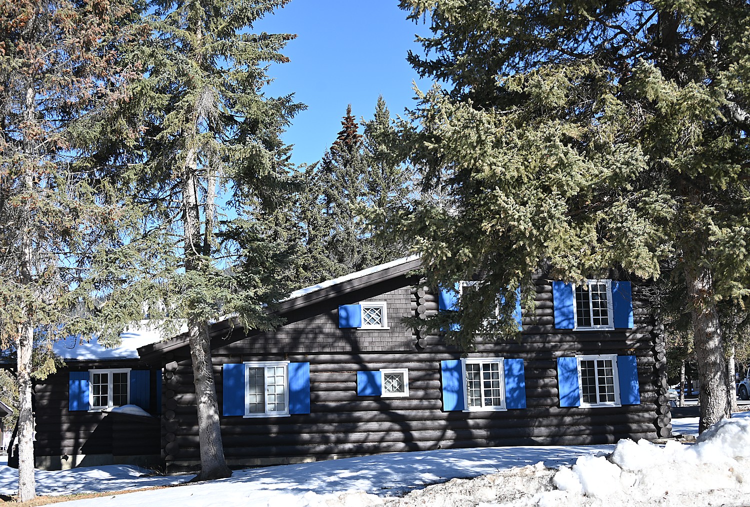
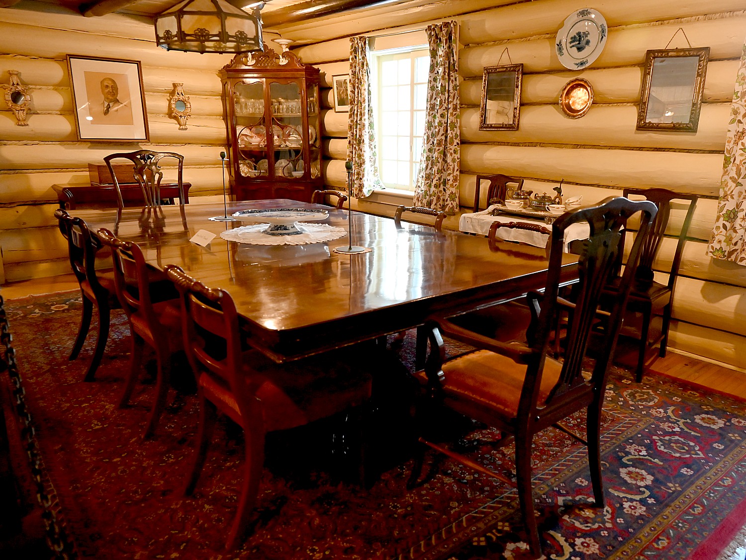
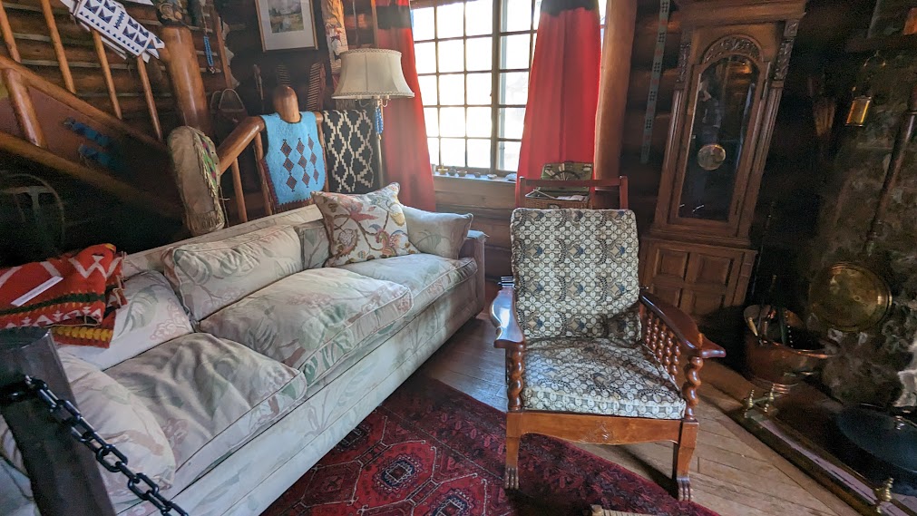
Among the Revolutionary War sites: Raynham Hall in Oyster Bay, where Robert Townsend became a part of the spy ring; the Arsenal in Huntington; the Conklin House’ Joseph Lloyd Manor, the Brewster House in Stony Brook where American patriot Caleb Brewster spied on British soldiers; and Sherwood-Jayne Farm, home of Loyalist William Jayne aka “Big Bill the Tory”. See where the Battle of Setauket was fought near the Setauket Presbyterian Church on Caroline Ave.; Strongs Neck Road, where Anna Smith Strong and Abraham Woodhull lived, a key location for the spies; Thompson House where spies’ names are in the doctor’s book. On the South Shore, Sagtikos Manor in Bay Shore is where President George Washington stayed here during his Long Island tour in 1790. See: https://www.discoverlongisland.com/plan-your-trip/famous-long-island/george-washingtons-spy-trail/; find more Long Island 250 events: https://www.discoverlongisland.com/longisland250/.
Westchester’s American Revolutionary Trail
Once the volatile “Neutral Ground” between British and Patriot forces, Westchester County was where generals strategized, spies swapped secrets and ordinary people found themselves at the crossroads of independence. Follow the American Revolutionary Trail to discover Westchester’s most compelling historic sites, among them:
Jacob Purdy House (White Plains): Washington’s wartime headquarters during key moments of the Revolution.
John Jay Homestead (Katonah): Home of a Founding Father, tracing early American politics, antislavery roots and family life.

Philipsburg Manor (Sleepy Hollow): A powerful look at slavery in the Colonial North, complete with hands-on demonstrations, one of the Historic Hudson Valley properties.
St. Paul’s Church (Mt. Vernon): A 1704 parish turned field hospital after the Battle of Pell’s Point.
Square House Museum (Rye): A historic tavern where John Adams, Samuel Adams and George Washington once stayed.
Thomas Paine Cottage (New Rochelle): Last home of the legendary pamphleteer, filled with rare artifacts.

Van Cortlandt Manor (Croton-on-Hudson): A patriot family’s post-war home revealing the challenges of building a new nation.
Visit https://www.visitwestchesterny.com/things-to-do/history/american-revolutionary-trail/
Some of New York’s other America 250events:
Genesee Country Village & Museum (Finger Lakes) explores early American life through costumed interpretation, working trades and educational programs that illuminate the nation’s evolving identity. The museum, now in its 50th year, spotlights its “Seeking Freedom” initiative, highlighting stories of enslavement, freedom-seekers and abolitionists while hosting special cross-century exhibits and events tied to the national 250-year commemoration.
Commander in Cheers Augmented Reality Experience (Hudson Valley):Running through 2026, restaurants, pubs and other locations in the region offer an augmented reality experience that brings a pint-sized George Washington to life, sharing stories of Dutchess County’s Revolutionary past, by scanning a specialty coaster. Participating locations include Mill House Brewing Company in Poughkeepsie, The Tavern at Beekman Arms in Rhinebeck, Tenmile Distillery in Wassaic and Treasury Cider at Fishkill Farms. More information will be announced soon on additional programs as part of Dutchess County’s Commander in Cheers celebration.
Orangetown and the Bicentennial 1776-1976: From Democracy to Disco (Hudson Valley): On view through 2026 at the Orangetown Historical Museum’s DePew House, this exhibition highlights Rockland County’s crucial contributions during the Revolutionary War and showcases the historical and cultural impact of the 1976 Bicentennial. This spring, the Spirits of ’76 Wine Tasting companion event will feature historically inspired wines curated by Grape d’Vine, honoring Orangeburg and Tappan’s Revolutionary War legacy.
RevCon 2026 (Hudson Valley): Dutchess County hosts RevCon on June 13 at the Franklin D. Roosevelt Presidential Library and Museum in Hyde Park. The Revolutionary War reenactment and history fair brings the era to life with weapons demonstrations, military drills, camp displays and Q&A sessions with reenactors.
(See a full calendar of New York State’s America 250 events: https://www.iloveny.com/things-to-do/path-through-history/america-250/)
Revolutions Beyond Independence
America’s Revolution did not end with the War for Independence. New York State has made it a mission for its America 250 commemoration to review America’s many revolutions in striving to realize the “more perfect union” the Founders could barely imagine.
“One of directives in New York State’s America 250th is to make it broad and diverse and think of the American Revolution as incomplete because it didn’t include all residents,” said Devin Lander, NYS State Historian.
Many of these revolutions were sparked or furthered in New York State, and as you travel across the state, you can see them unfold: women’s suffrage, abolition, civil rights, voting rights, environmental protection.
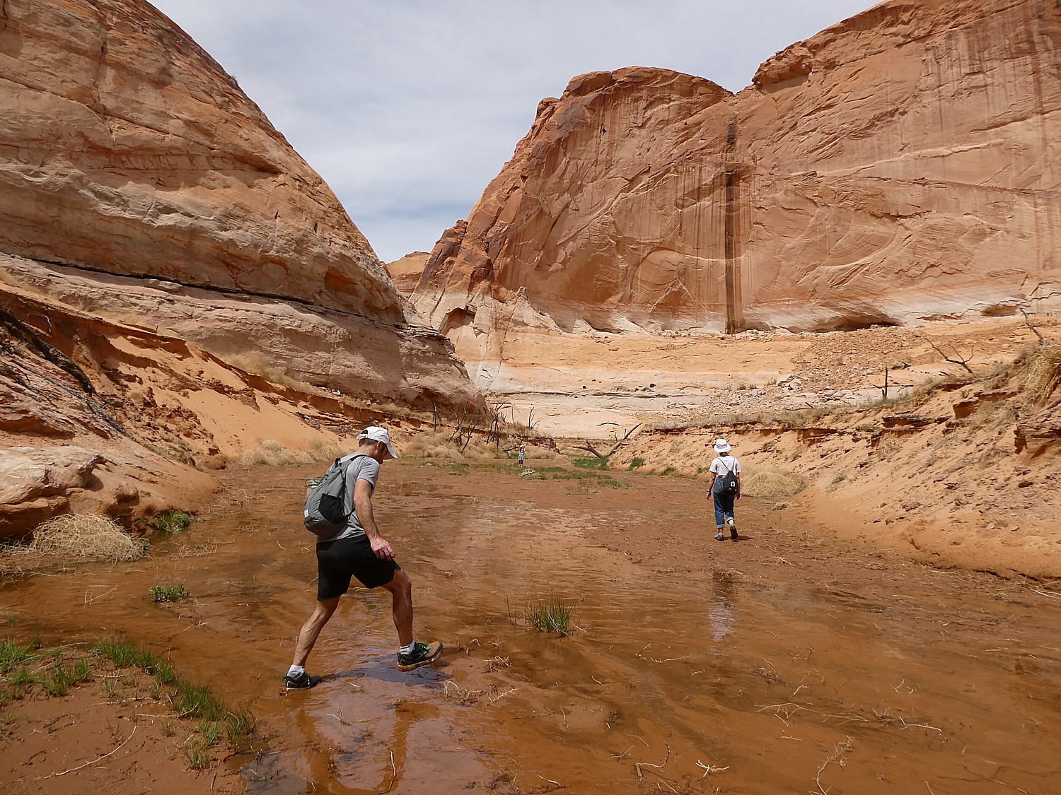
To see how America came to be, join Parks & Trails NY’s annual eight-day Cycle the Erie trip that takes place each July, and travel 400 miles and 400 years of history from Buffalo to Albany- 356-miles of them along the Erie Canalway. (In addition to Parks & Trails NY, bike tour operators offer guided and self-guided trips.)

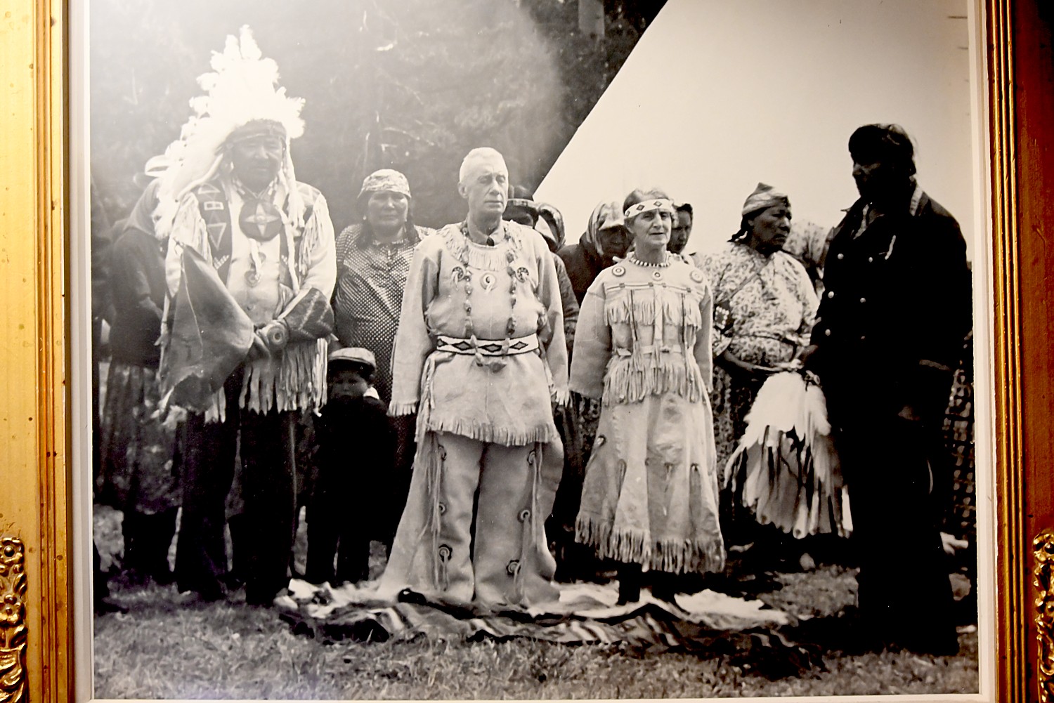
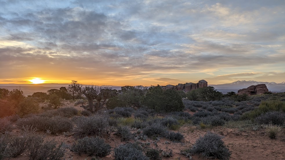
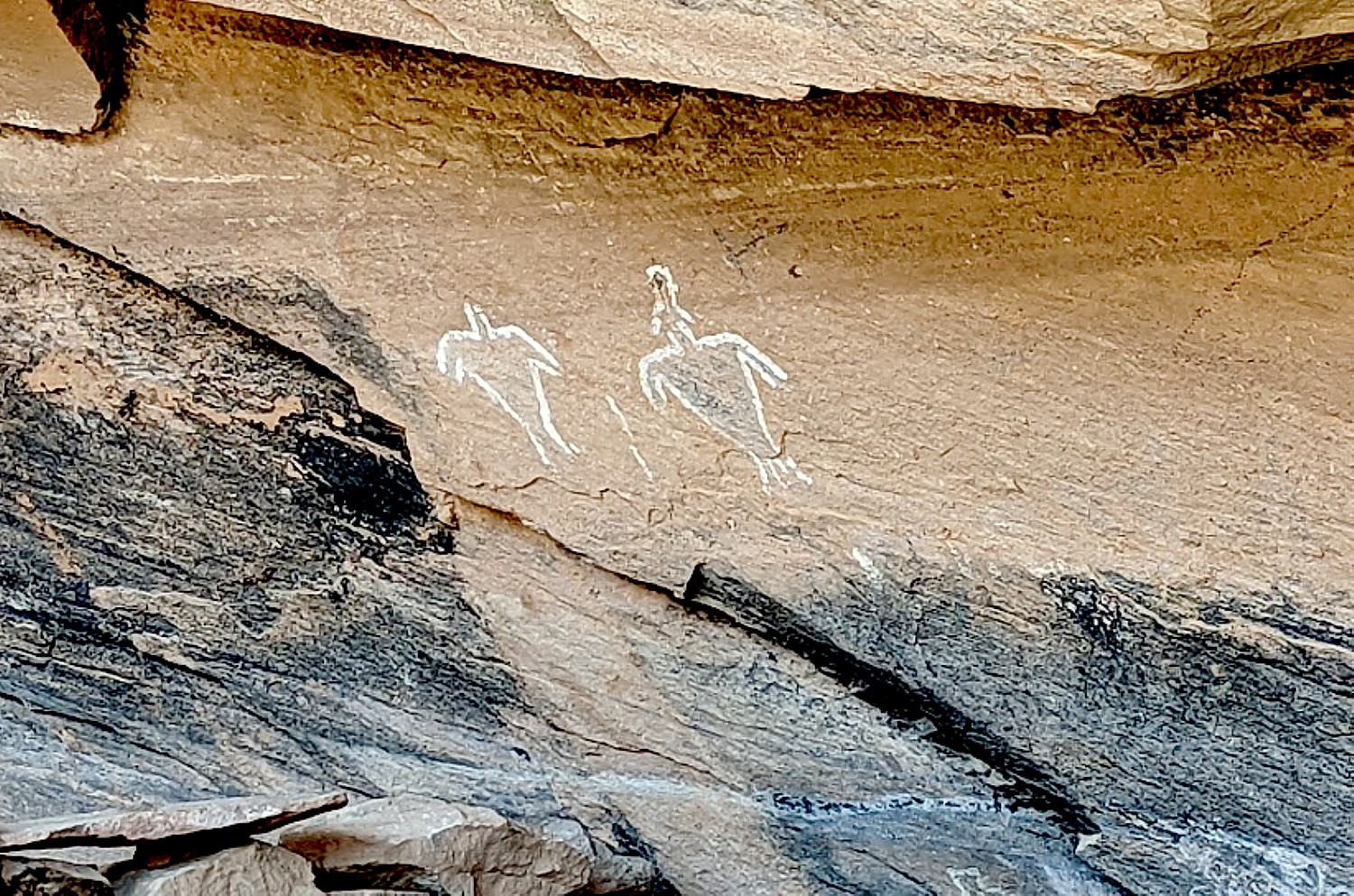
You see how the Industrial Revolution unfolded, how the Canal was the ‘Mother of Cities” like Rochester and Syracuse, and birthed canal towns, united the American continent, and turned New York City into a financial capital of the world; at the Canal Museum in Syracuse, you see how immigrants used the canal to settle the West, turn the Midwest into America’s breadbasket, and unite the nation, and how the canal spurred the innovation and entrepreneurism that made the Industrial Revolution possible; how Native Americans and colonists lived side by side at Fort Stanwix and the Indian trading post at Schoharie established 400 years ago and how knowing the Oneida women influenced Melinda Gage’s zeal for women’s equal rights. You see the context for the Women’s Rights movement at Seneca Falls. (https://www.ptny.org/cycle-the-erie-canal-bike-tour/).

The 356-mile Erie Canalway is part of New York State’s 750-mile Empire State Trail network, from Buffalo to Albany and the tip of Manhattan at Battery Park to the Canadian border. It will ultimately be expanded and connected to a Long Island Greenway Trail Expansion – 200 miles of new greenspace from Montauk to Manhattan. With construction expected to begin this winter, the Long Island Greenway will connect 27 communities and 26 existing park – a route that is also rich in America’s history, from indigenous times (so many of the towns still have their names), through the American Revolution (George Washington’s Spy Trail), to the Shinnecock Indian Nation, in Southhampton.
New York State will be paying homage to its many revolutions in which the state played such a pivotal part, including linking “Freedom” to the theme of “Independence.”
Cayuga County, in the heart of New York’s Finger Lakes, is Harriet Tubman’s chosen home. Auburn is where Tubman lived for more than 50 years, continued her activism, and established the Harriet Tubman Home for the Aged. Today, visitors can explore this powerful legacy through nationally significant historic sites, museums, and landscapes that speak to freedom, abolition, and the ongoing pursuit of equality. This makes Cayuga County a particularly meaningful place to reflect on America’s 250th anniversary.
Cayuga County will be hosting several commemorative events and experiences in recognition of America 250, with more details continuing to take shape. Among those that have been scheduled:
- The Harriet Tubman National Historical Park is planning programming under the banner “Freedom 2026,” which will serve as a lead-in to “Freedom 2027,” marking the 200th anniversary of the abolition of slavery in New York State.
- Cayuga County is also looking to the anticipated opening of the Harriet Tubman Underground Railroad New York Scenic Byway and its first leg, which will connect Buffalo with Tubman’s chosen hometown of Auburn.
- In 2026, the Finger Lakes Sweet Treat Trail will feature an America 250 theme, with several sweetly patriotic offerings highlighted along the itinerary.
- Each year, the Town of Ledyard hosts a well-attended reenactment and ceremony that includes replica parchment printings of the Declaration of Independence, a full-costume public reading, and a horseback rider arrival with classic “Hear ye, hear ye” flair.
- July 4th fireworks on Little Sodus Bay in Fair Haven and at Emerson Park in Auburn are always community highlights, and is expected that 2026 to be especially memorable in honor of the 250th anniversary.
In the next few weeks, a full America 250 schedule from several of Cayuga’s historic and cultural partners, including the Seward House Museum, Schweinfurth Art Center, Cayuga Museum of History and Art, Auburn Public Theater, Harriet Tubman National Historical Park, Willard Memorial Chapel, Frontenac Museum, and the Equal Rights Heritage Center, will be available. See more at www.tourcayuga.com.
Urban Civil Rights Museum (New York City):Located within the National Urban League’s new Harlem headquarters, the Urban League Empowerment Center, the museum will be the first institution solely dedicated to the American Civil Rights Movement, when it opens later in the year. (https://urbancivilrightsmuseum.org/)
Underground Railroad & Abolitionist Movement: Saratoga in 2027 will mark the 200th anniversary of abolition of slavery in New York State; there will be exhibits at the State Museum in Albany, and state parks.

Women’s Suffrage: visit Seneca Falls, dubbed the “Birthplace of Women’s Rights” where you can visit the National Women’s Hall of Fame in addition to the Women’s Rights National Historical Park, Elizabeth Cady Stanton Home, plus :”It’s a Wonderful Life” Museum.

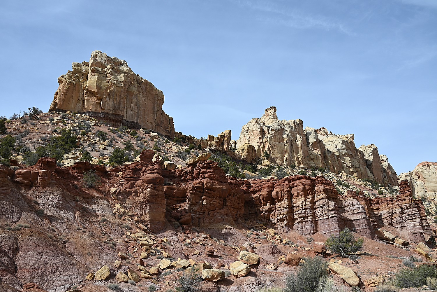
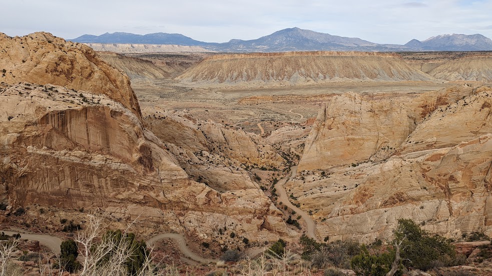
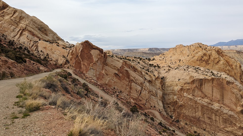
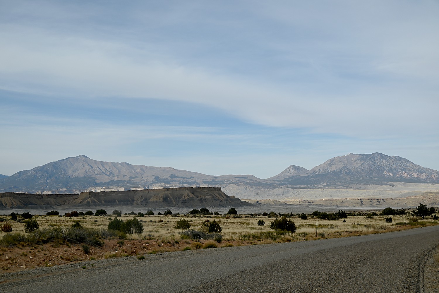
New York’s role in the Environmental Movement is on display at Tanglewood Nature Center Canopy Treetop Walkway opening in the Finger Lakes in late spring/early summer. This ADA-accessible forest canopy path climbs 70 feet high, offering sweeping views. Designed in collaboration with world-renowned scientist “Canopy Meg” Lowman, this treetop walkway is only the second of its kind in New York State (the first is the Wild Walk at The Wild Center). Also, travel to the Adirondacks State Preserve (at 5 million acres, the largest tract of publicly protected land in the Lower 48) and enjoy the newly opened Adirondack Rail Trail (34 miles from Lake Placid to Tupper Lake).
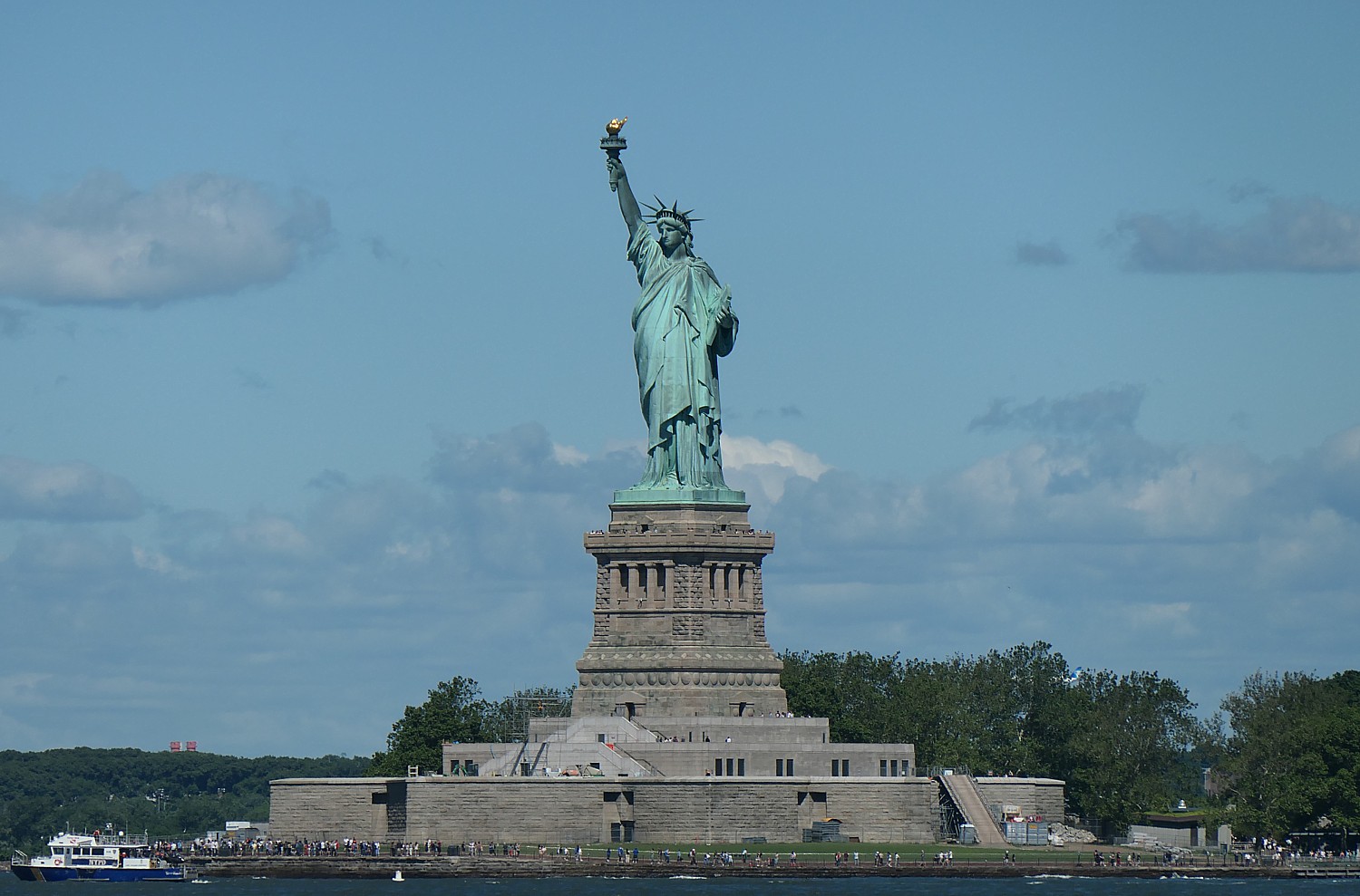
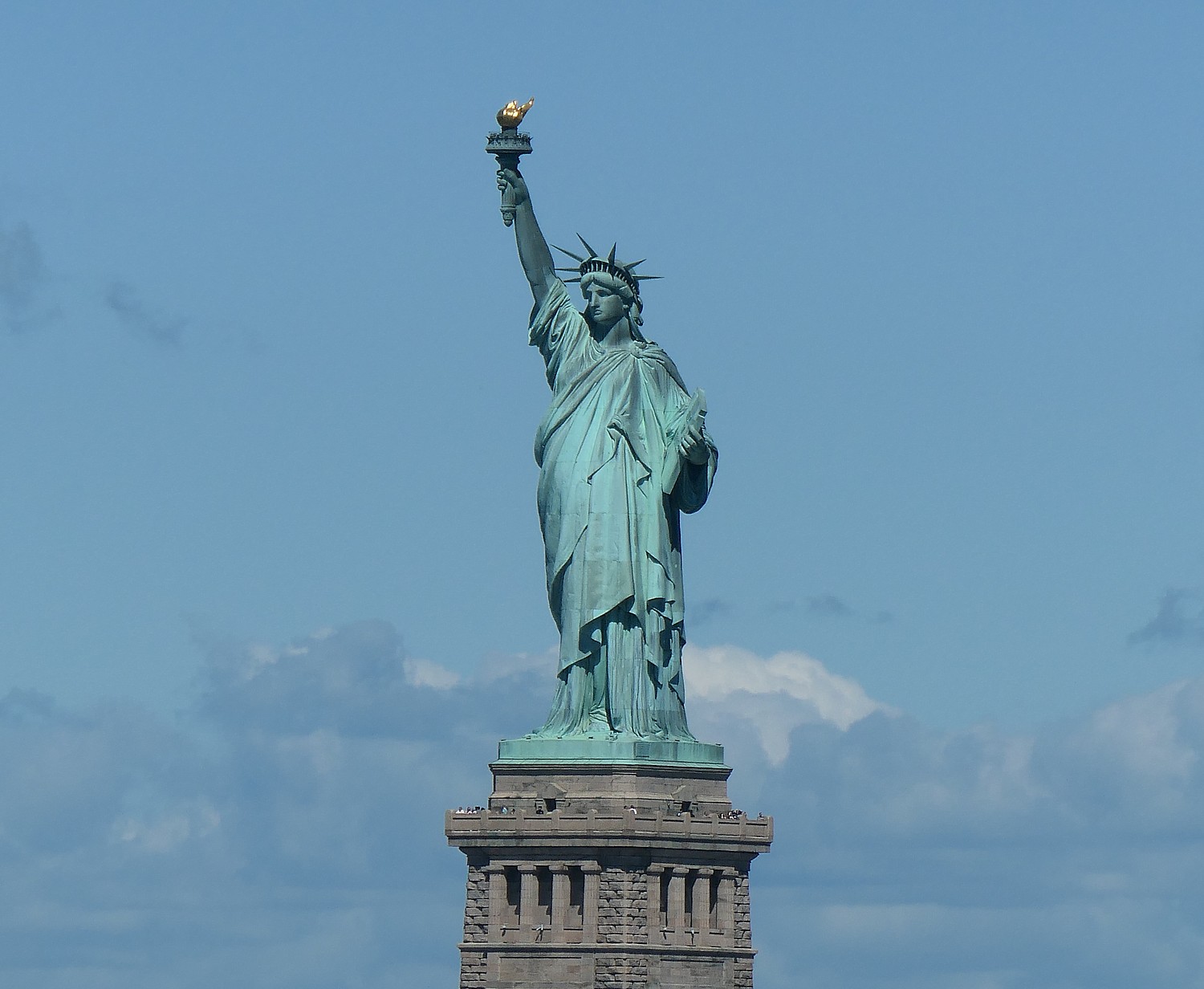
“As we commemorate America’s 250th anniversary and welcome the world for the FIFA World Cup, there’s no better time to explore New York State – where every corner tells a story. From the historic grounds of Fort Ticonderoga and the National Baseball Hall of Fame, to the Statue of Liberty and the thundering power of Niagara Falls, visitors will discover experiences as iconic and unforgettable as the milestones we’re honoring throughout 2026,” I LOVE NY Executive Director of Tourism Ross D. Levisaid.
See a full calendar of New York State’s America 250 events: https://www.iloveny.com/things-to-do/path-through-history/america-250/)
See also: 11 Ways to Experience America 250 in New York State, https://www.iloveny.com/blog/post/ways-to-experience-america-250-in-new-york-state/
An excellent source of all things historic in New York State is the Passport to History site, which can steer you to 700 destinations across the state. You can choose from themes to create your own Path Through History: https://www.iloveny.com/things-to-do/path-through-history/
__________________
© 2026 Travel Features Syndicate, a division of Workstyles, Inc. All rights reserved. Visit goingplacesfarandnear.com, longislandpress.com/category/vacation-travel.com and travelwritersmagazine.com/TravelFeaturesSyndicate/. Blogging at goingplacesnearandfar.wordpress.com and moralcompasstravel.info. Visit instagram.com/going_places_far_and_near. X: @TravelFeatures Threads: @news_and_photo_features ‘Like’ us at facebook.com/NewsPhotoFeatures. Send comments/questions to FamTravLtr@aol.com.