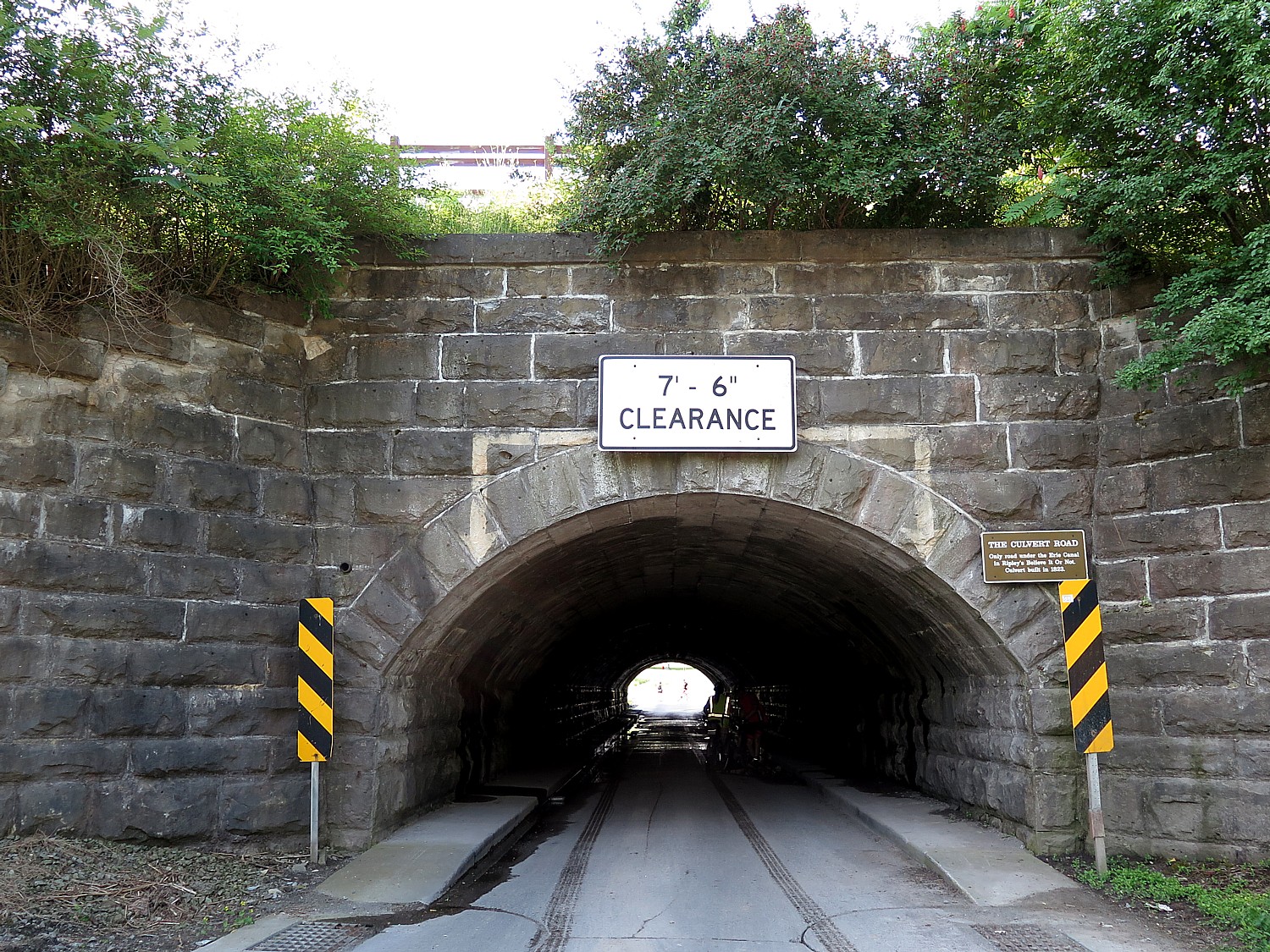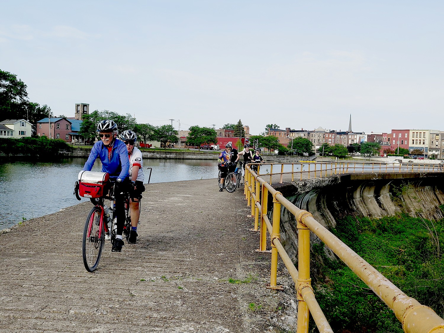
Tag Archives: biking

Cycle the Erie, Day 1: In Lockport, See Erie Canal Engineering Marvel, ‘Flight of Five’, Cruise Thru Double Locks, and Go Underground to Fathom Rise of Industrial Revolution

Lockport is the only place where you can see the Modern Barge Canal locks side-by-side with the original Erie Canal locks © Karen Rubin/goingplacesfarandnear.com

By Karen Rubin, Travel Features Syndicate, goingplacesfarandnear.com

Lockport is the best place of all to appreciate the engineering marvel of the Erie Canal and what the Canal meant to propelling the Industrial Revolution and the economy, ultimately establishing the United States as a global industrial power. And it is our first stop on our first day of our eight-day, 400-mile Cycle the Erie journey, an annual hosted ride offered by Parks & Trails NY, that takes us across New York State, from Buffalo to Albany, and with it, through 400 years of American history.

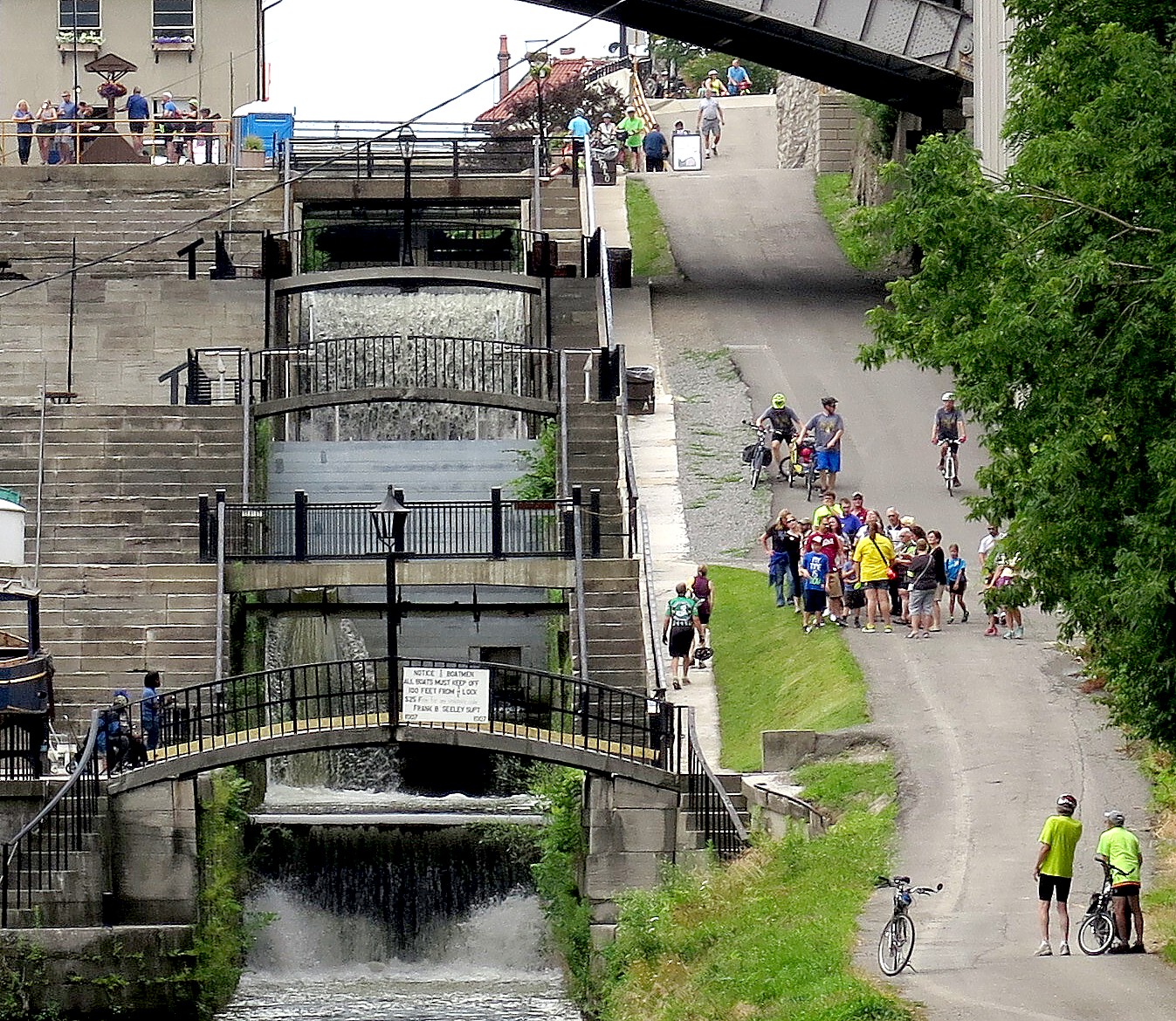
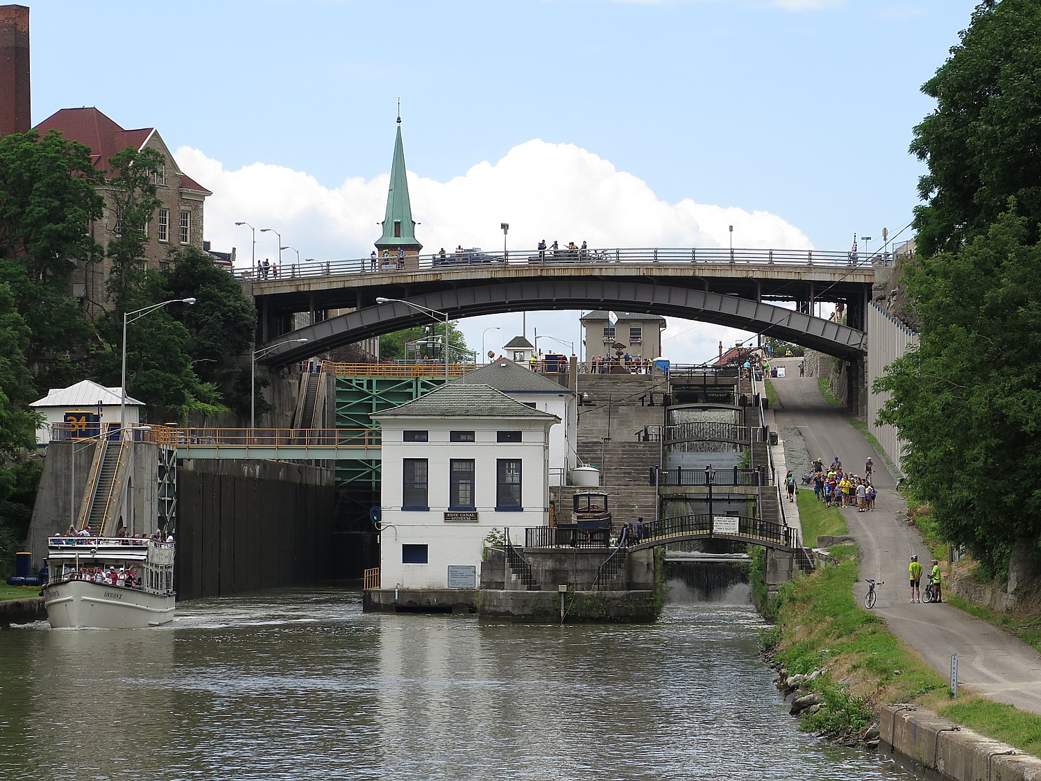
Here in Lockport, you not only see the only original part of the canal that is left – the famous “Flight of Five” locks in a short sequence – but they are literally adjacent to the modern Barge Canal and its only double-locks – two locks, one immediately after the another.

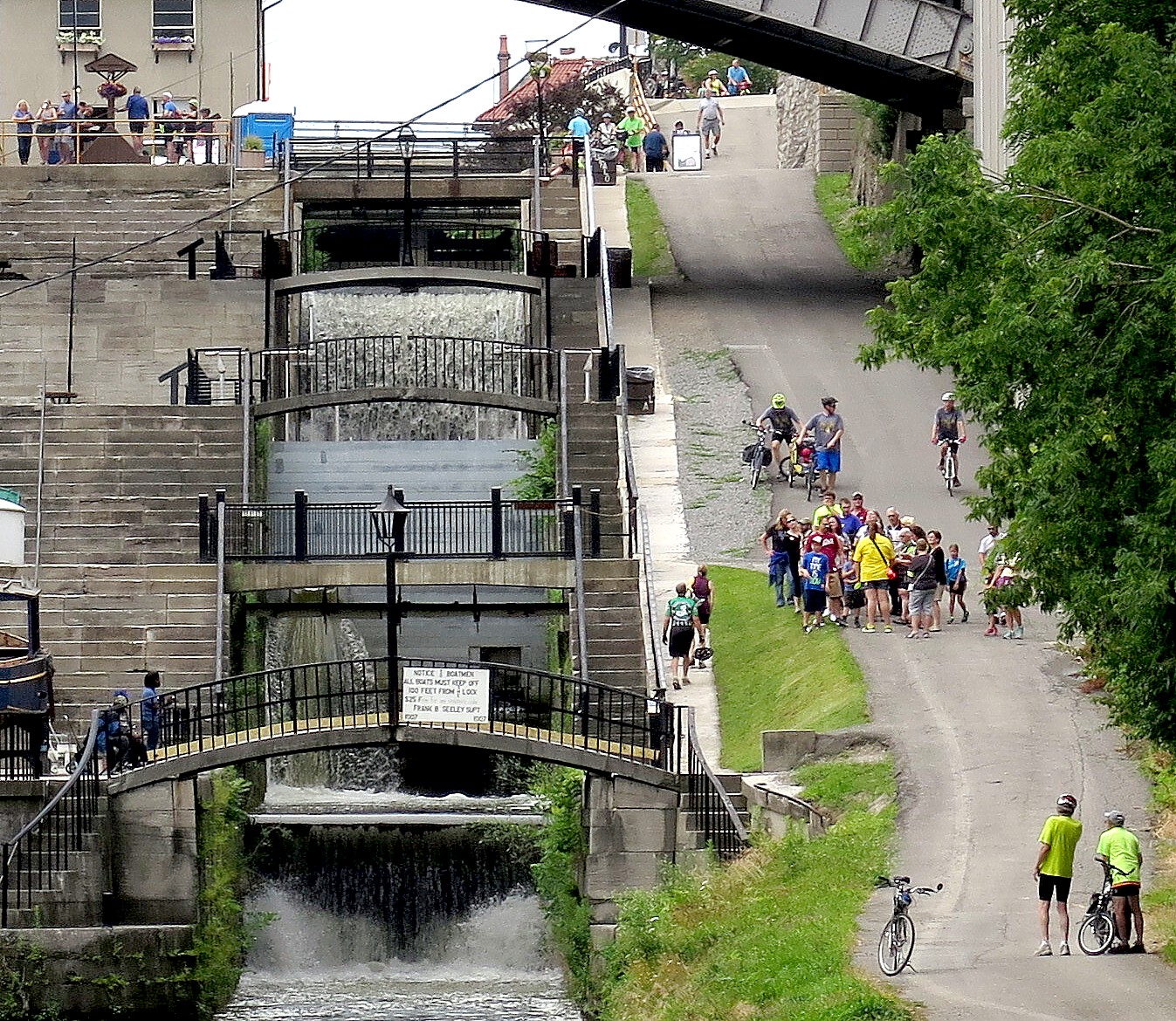
The 200-year old Flight of Five consecutive locks is the engineering marvel for its time which made the entire canal possible – finishing the distance to Lake Erie. Here at Lockport, the planners had the critical challenge of navigating the 60-foot elevation in the Niagara Escarpment. In these days before steel and electric motors, the wooden gates could only hold back the volume of water of a 12-foot drop.

View of the Flight of Five © Karen Rubin/goingplacesfarandnear.com

Amazingly, they didn’t figure out the solution before they committed to building the Canal and started digging in Rome, on July 4, 1817. This was deliberate: Rome is right at the center of the state where it is the flattest, where the Oneida Indians already had a crossing through the Appalachian Mountains. What is more, since the federal government had refused to provide any funding, New York State was funding the project on its own; Governor Dewitt Clinton felt there would be more likelihood of getting more funding from the state legislature if they had already started building). New York ultimately spent $7.7 million, the equivalent of $18 billion in today’s dollars.

“There were no civil engineers at that time. They had to invent their way across the state,” we are told in one of the evening lectures. (The telling of this story reminds me of the line in “Shakespeare in Love” to describe how everything would somehow work out: “It’s a mystery.”)

By 1822, 300 miles of the Erie Canal had already been dug. But to the west, the canal builders faced their most difficult challenge: the Niagara Escarpment was a 70-foot natural solid rock obstacle, the same mountain ridge over which Niagara Falls joins Lake Erie to Lake Ontario.

Nathan Roberts, who had no formal engineering training but had been working on the canal, came up with an innovative solution – still one of the most staggeringly unusual designs for its time: a series of five locks, each one raising or dropping a boat 12 feet. And because he knew it would consume a tremendous amount of time, he built two parallel steps of locks, so boats could go in both directions – an advancement in canal engineering.

“They had to build five levels of locks because each one could only go 12 feet. In the 1820s and 1840s, they didn’t have structural steel. The lock gates are wooden. ”

Even today, the “Flight of Five” locks are still admired as among the most extraordinary in the world. (We get to visit Nathan Roberts’ hometown, Canastota, much further down on the canal where there is a marvelous museum).

Indeed, like the 20th century space program, what was invented for the purpose of digging the canal became new techniques that could be applied elsewhere. The Erie Canal led to the founding of America’s first engineering school, Rensselaer Polytechnic Institute (RPI) in 1824, in Troy.

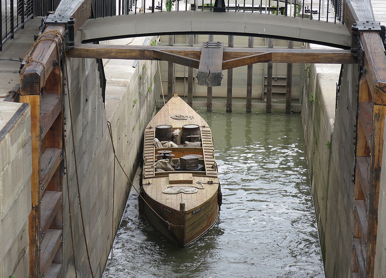
A re-created wooden boat in one of the two restored 200-year old Flight of Five locks on the Erie Canal, in Lockport. © Karen Rubin/goingplacesfarandnear.com

Here at Lockport, we get to see how the lock system worked. New York State has restored two of the original 19th century locks, and you can see how the wooden doors (a design that Leonardo Da Vinci had used) were opened manually using a large wood oar (they demonstrate this frequently during the day); the goal is to restore all five locks. The Buffalo Maritime Club built a replica wooden boat that is now in the lock. Here, you can see just how narrow the locks were. (New York State has funded the restoration of the other three locks.)

Indeed, this is the only place along the canal where you see the original and the modern canal locks in operation. And this is also the only set of modern double-locks on the Erie Canal, where boaters consecutively go from one to another.

Erie Canal Cruises

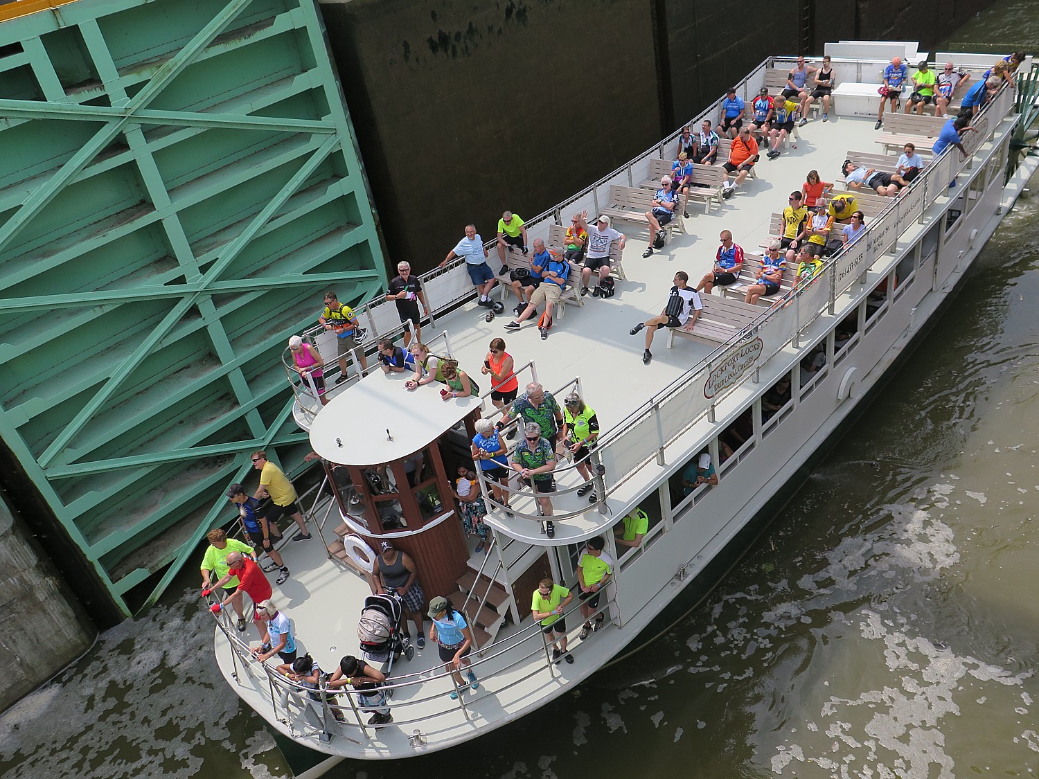
You especially appreciate this on the canal cruise that NY Parks & Trails, has arranged for the 750 cyclists who have joined the Cycle the Erie ride (a record number) on Erie Canal Cruises (210 Market St, 716-433-6155). I race through Lockport to get to the marina just in time for the 11 am cruise. It takes about an hour, and is really fun, especially as you go through the first lock and are spilled directly into the second.

Cycle the Erie riders get a free Erie Canal cruise through the locks in Lockport © Karen Rubin/ goingplacesfarandnear.com

The first Erie Canal was 40 feet wide and just four feet deep, stretching 363 miles, from Albany-Buffalo, with 83 locks to take a boat the 565 feet in elevation. There were no motors involved, so a towpath was constructed along side, and mules, led by young boys known as “hoggies,” who walked 15 miles a day, pulled the canal boats along. One of these hoggies grew up to become president: James Garfield, Ben Willis of the Erie Canal Museum in Syracuse tells us at one of the evening lectures.

“The effect of the Canal was both immediate and dramatic, and settlers poured west.  The explosion of trade prophesied by Governor Clinton began, spurred by freight rates from Buffalo to New York of $10 per ton by Canal, compared with $100 per ton by road.  In 1829, there were 3,640 bushels of wheat transported down the Canal from Buffalo.  By 1837 this figure had increased to 500,000 bushels; four years later it reached one million. In nine years, Canal tolls more than recouped the entire cost of construction. Within 15 years of the Canal’s opening, New York was the busiest port in America, moving tonnages greater than Boston, Baltimore and New Orleans combined,” according to the state’s canals website (www.canals.ny.gov/history/history.html)

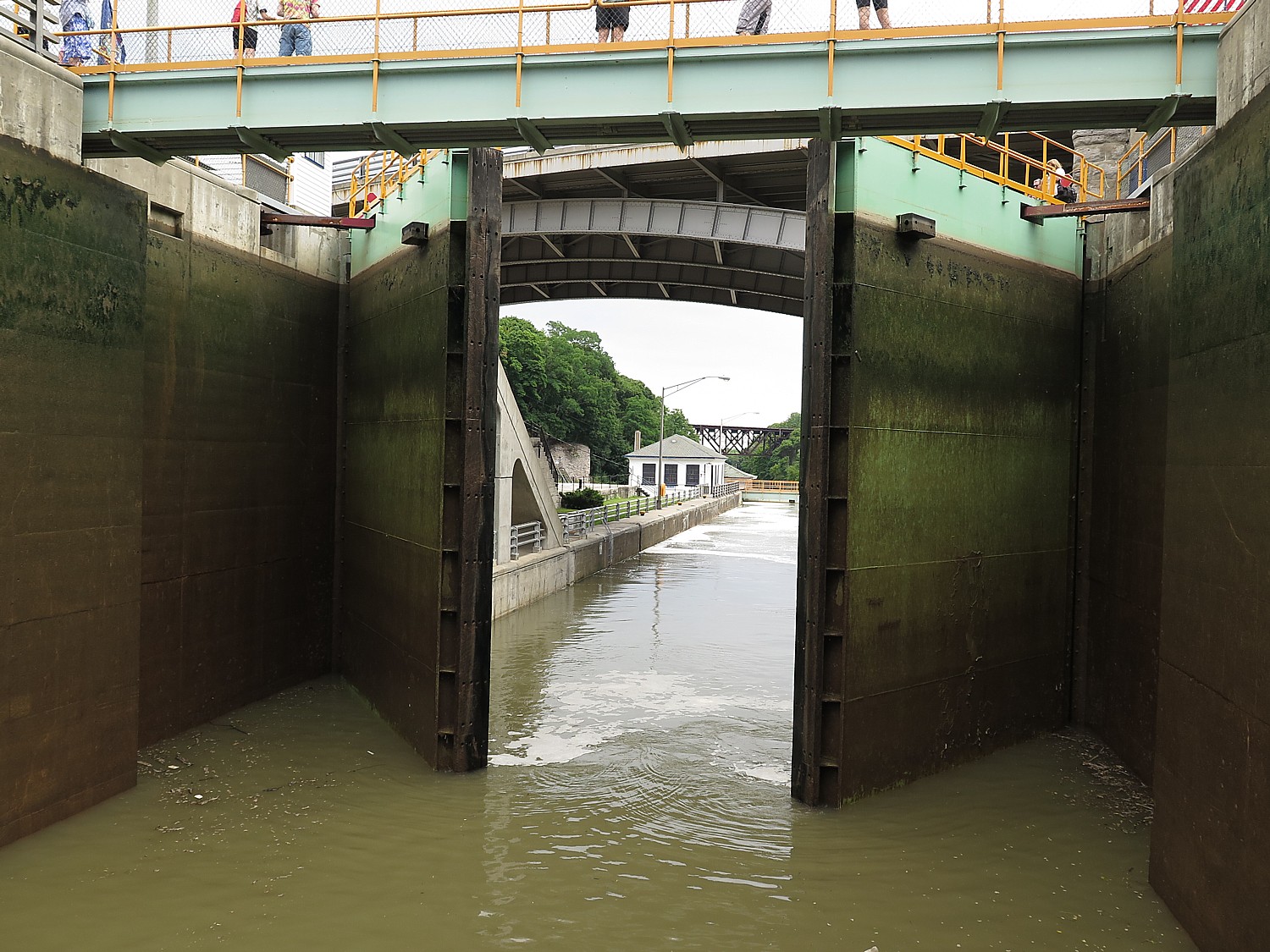
Going through the modern double-locks on the Erie Canal Cruise in Lockport © Karen Rubin/goingplacesfarandnear.com

In order to keep pace with the growing demands of traffic, the Erie Canal was enlarged between 1836 and 1862. The “Enlarged Erie Canal” was 70 feet wide and 7 feet deep, and could handle boats carrying 240 tons. The number of locks was reduced to 72.

In 1898 Theodore Roosevelt, as Governor of New York, pushed to enlarge the canal again and straighten its route – in many cases relocating the canal altogether – to a width of 125 feet and minimum depth of twelve feet. The “modern” Barge Canal – the one we see today – was opened in 1918 and the motors which still open and close the lock doors are a century old, as well.

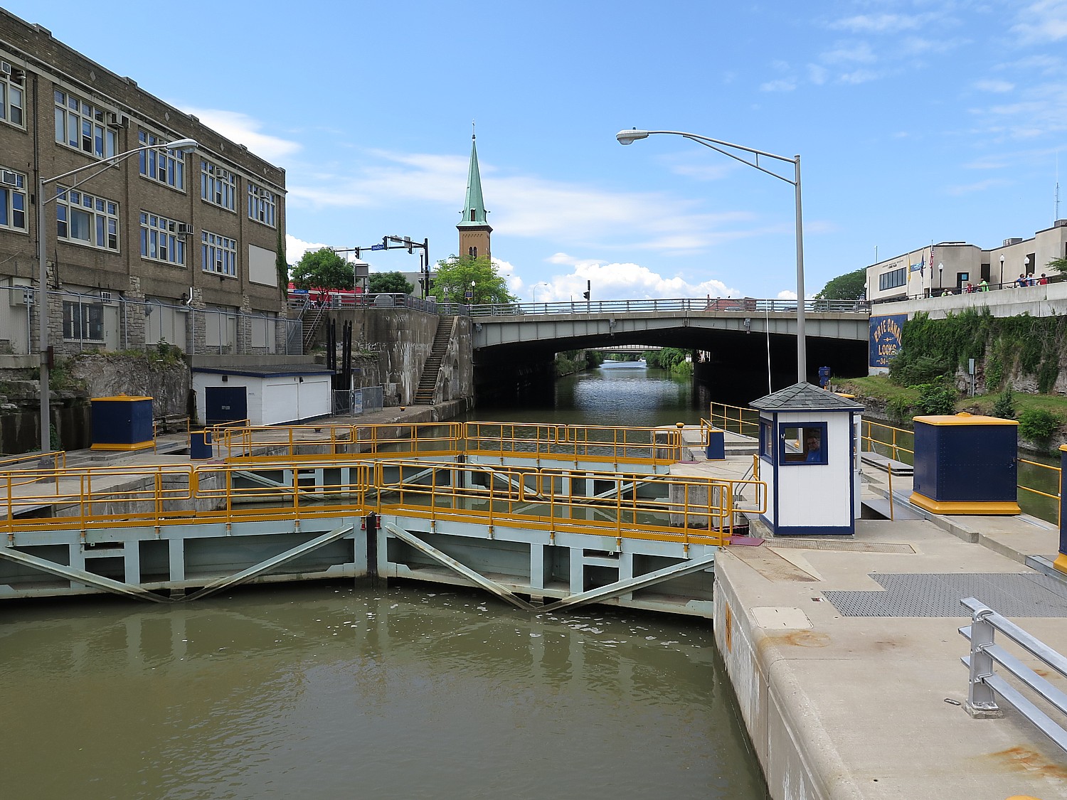
Cruising through the Modern Barge Canal locks in Lockport © Karen Rubin/ goingplacesfarandnear.com

The cruise gives us a wonderful side-by-side view of the “modern” canal and locks (they still use the original GE motors which are 100 years old to open the large steel gates) against the original Clinton’s Ditch lock system, a town that was one of many along the route literally birthed by the Erie Canal. Only the gates are motorized; the rest is gravity.

Lockport offers insights into more than the extraordinary engineering of the Erie Canal: it is here where you get the clearest understanding of how the canal spurred the Industrial Revolution, and made the United States a manufacturing and global power. By 1830, Lockport had grown to the size of Buffalo and Rochester but was eclipsed after Civil War.

Lockport Cave & Underground Boat Ride

You really appreciate this when you take the Lockport Cave & Underground Boat Ride, which I did on my first Cycle the Erie trip (absolutely fascinating and I have to believe is fairly unique; Cycle the Erie riders get a discount with our wristband).

Up on the hill above the canal were a string of factories. Before Tesla and Edison, engines used water power which was abundant in Lockport. Birdsell Holly, who had a three-story factory, Holly Manufacturing Company, devised a water “raceway” to power the factory –which involved digging a tunnel to capture the seemingly unlimited flow of water.

Our walking tour starts on the canal, where our tour guide, relates the history. Then we walk down a slope to where the hillside means the canal, passed where there would have been three factories.

We walk passed where there would have been a three-story factory, the Holly Manufacturing Company.

“Birdsill Holly, the owner, was famous in his day. He had 150 patents, second-most to Thomas Edison” who was a friend and who asked Holly to join him at his lab in Menlo Park, but Holly wanted to stay on his own. He was a genius at mechanical engineering and specialized in hydro-mechanical systems.” He also created the system of using the rushing water through tunnel (a hydraulic “raceway”) to power turbines.

Among Holly’s inventions: the rotary water pump, the Silsby steam fire engine, the fire hydrant (he actually reminds me a lot of Ben Franklin). Holly had the idea to build a 19-story skyscraper with a view of Niagara Falls, which he expected to become a popular tourist attraction, but never raised the financing.

Holly, who was born in 1820, came to Lockport from Seneca Falls in 1851. He opened the Holly Manufacturing Company in 1859 to produce sewing machines, cistern pumps and rotary pumps.   Holly built the Lockport Fire Protection and Water System in 1863, which used pumps powered by water-turbines and steam-engines to bring water to hydrants in the city. He patented a fire hydrant in 1869, manufactured in his factory.

At its peak, the factory employed 500 people. Ironically, his factory was destroyed by fire in 1909 (there is a photo of the fire hanging in the tour office).

Next, we walk passed where the Richmond Factory, founded in 1868, would have been – portions of gatehouse can still be seen. It utilized Holly’s hydromechanical system. But in 1993, it too, was destroyed by fire.

The third was the Lockport Pulp factory, which operated from1880-1941, when it went out of business after the invention of galvanized steel. “Their lease ran out in 1941 and they lost the use of the water.”

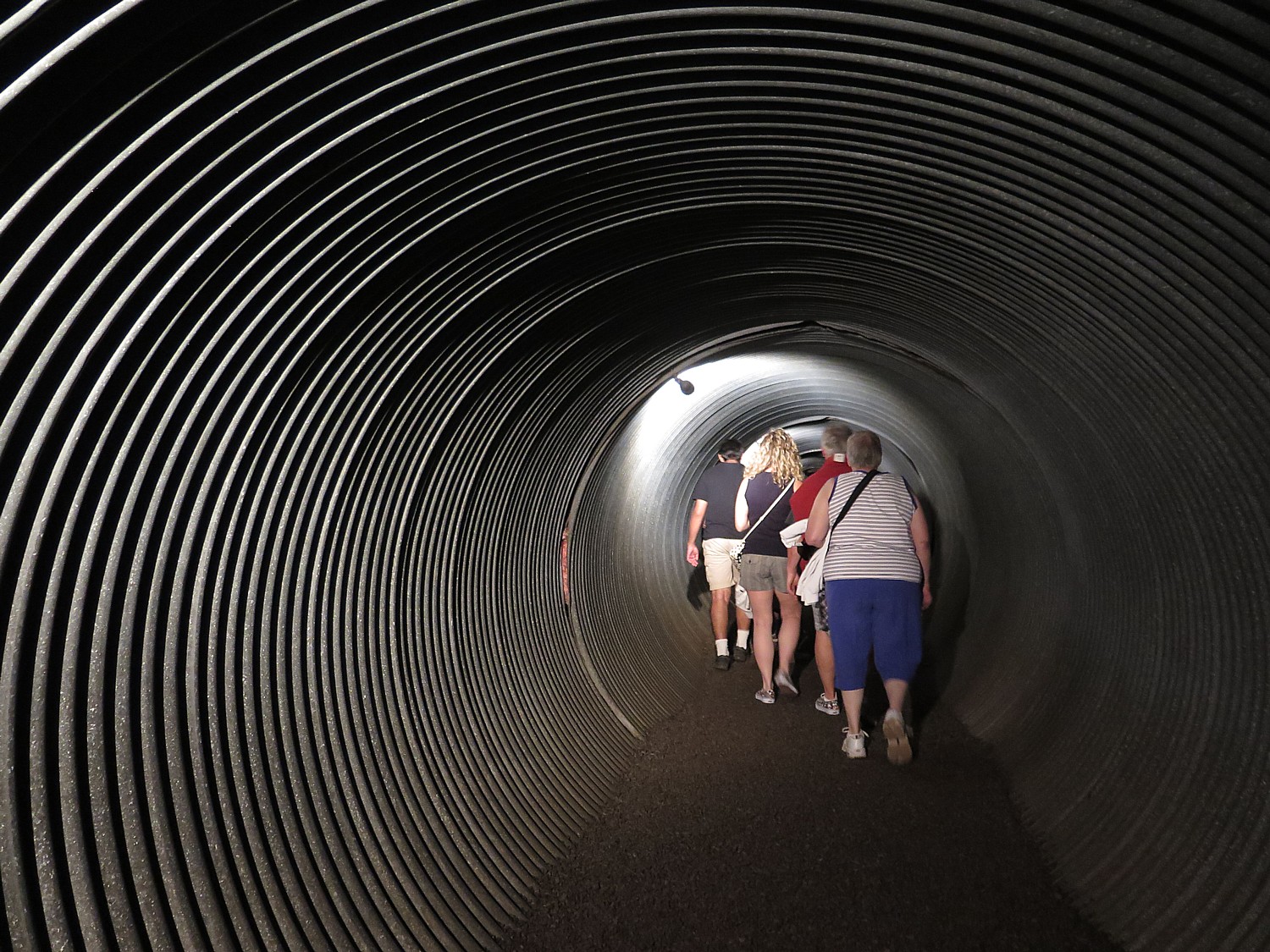
Walking through the outflow pipe of Birdsell’s hydraulic raceway during the Lockport Cave & Underground Boat Ride © Karen Rubin/goingplacesfarandnear.com

We come to a great outflow pipe which we use as our entrance into the cave, which once would have been the “raceway” for the rushing water.

This is the system devised by the privately owned Hydraulic Raceway Company (Birdsill Holly was a major investor) to serve his factory and the others.

It is quite an interesting sight – pitch black except for the artificial light.

The tunnel was cut by Irish and Italian workers. Our guide points out what would have been involved in digging out this tunnel and creating the cave, using the technology they had – sledgehammers and black powder. “They worked long hours doing dangerous work for low wages.” At one point, they went on a labor strike.

Boys as young as five years old would be the ones to plant the dynamite because they were small and fast. Each charge would blast a hole the size of a basketball. There are no statistics as to how many boys or men died building these tunnels.

Holly built his tunnel first, in 1858. It took 1 1/2 years to dig 750 feet. Richer opened his factory in 1868. A third section was opened eight years later, taking three years, until 1880 to finish. The factories would have paid $200 year for access to water.

Now our walk takes us to a wooden boat, built inside the cavern. “Welcome aboard Titanic 2,” the guide, jokes.

A boat ride is the climax of the Lockport Cave & Underground Boat Ride on Day One of the 8-day, 400-mile Cycle the Erie bike tour. © Karen Rubin/ goingplacesfarandnear.com

It is very “Phantom of the Opera”-ish, but here, you really appreciate the physical labor that was involved in cutting through rock to create these mechanisms that made the Industrial Revolution factories possible.

It is really a delightful boat-ride, full of atmosphere, that takes us through the oldest section of the tunnel. You can see some differences in how it was constructed. We can appreciate how long it takes to form a stalactite by how small these are. We see soda stalactites  (they have a hollow interior).

($13 plus tax, but $9 for Erie Canal riders. Lockport Cave & Underground Boat Ride on the Erie Canal, (5 Gooding St., 716-438-0174, www.lockportcave.com).

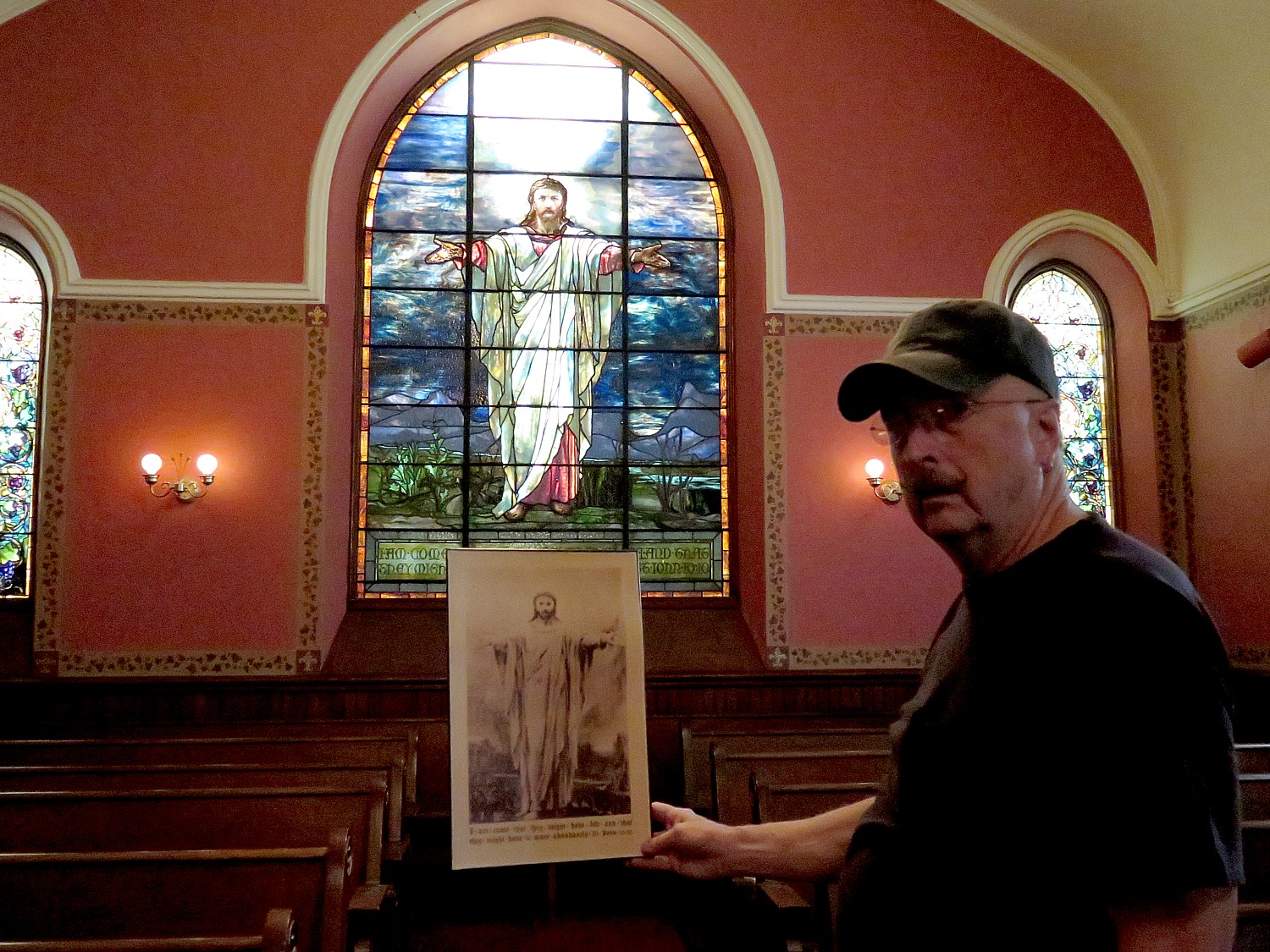
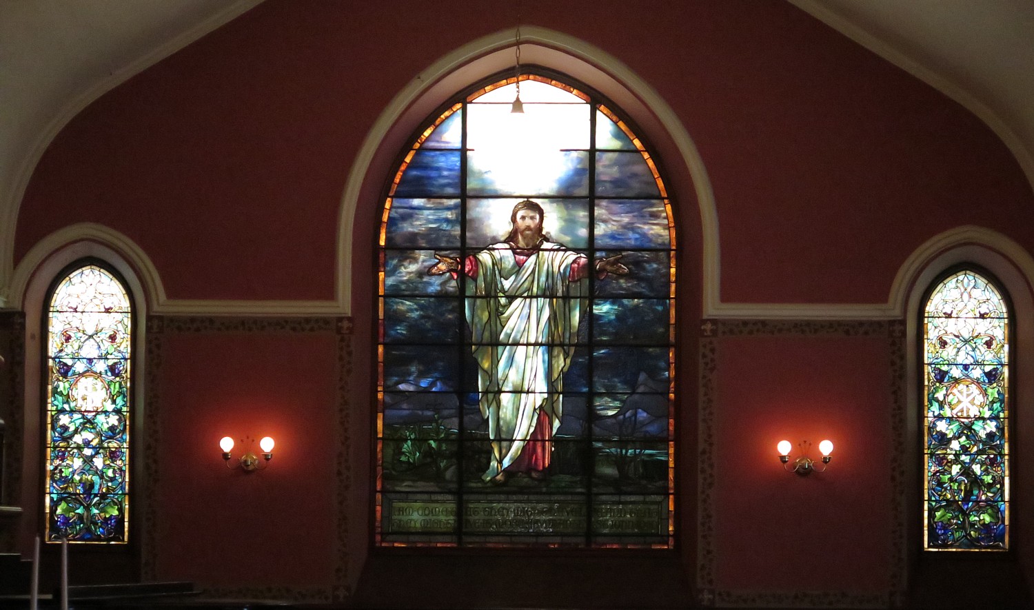
There is a lot to see in Lockport, including the Erie Canal Discovery Center, a small museum right at the base of the original five locks, which I visited on my first Cycle the Erie ride; Tiffany windows at the First Presbyterian Church, the Historic Palace Theater, and delightful eateries (www.discoverlockport.com).

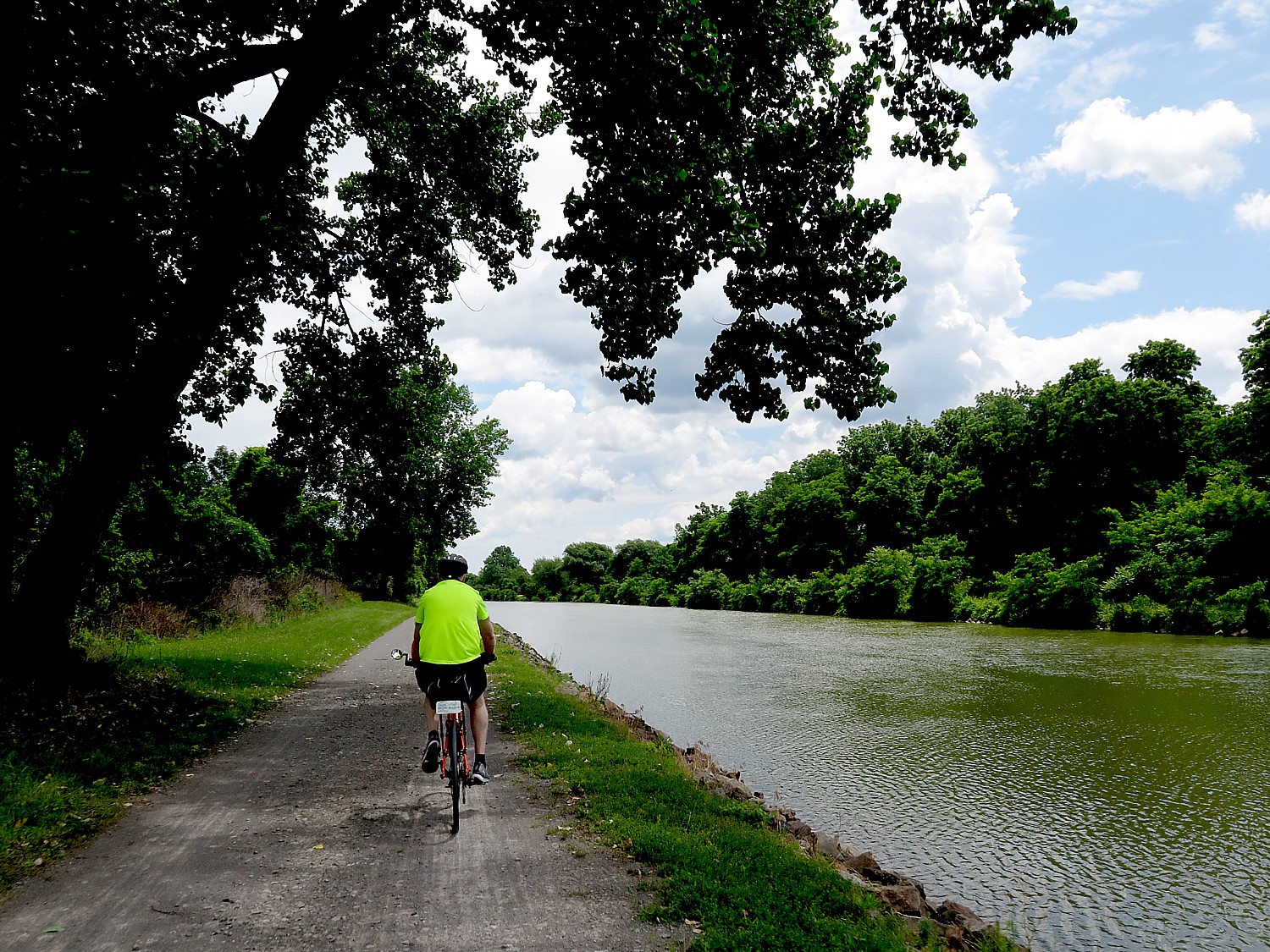
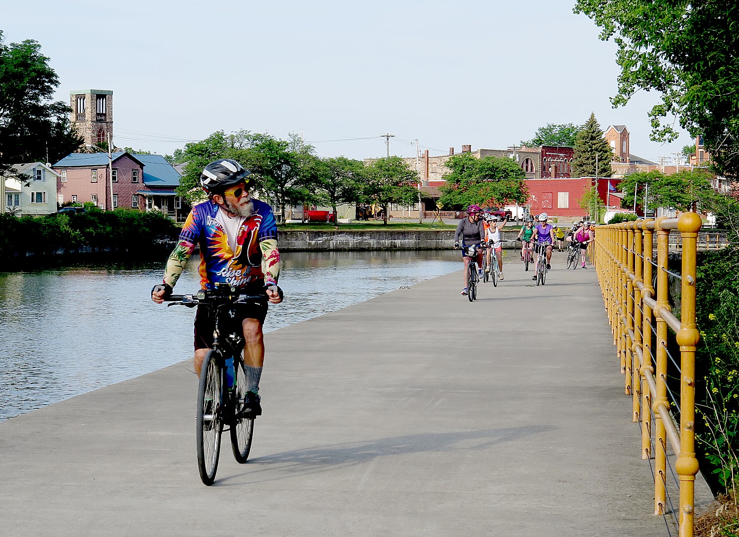
Biking on the Erie Canalway from Lockport to Medina © Karen Rubin/ goingplacesfarandnear.com

I am anxious to get to Medina, though, which I remember from my first Cycle the Erie ride as being a really charming town (they even have a concert planned for the afternoon, and swimming at our campsite), and last time, I didn’t get there early enough to enjoy it.

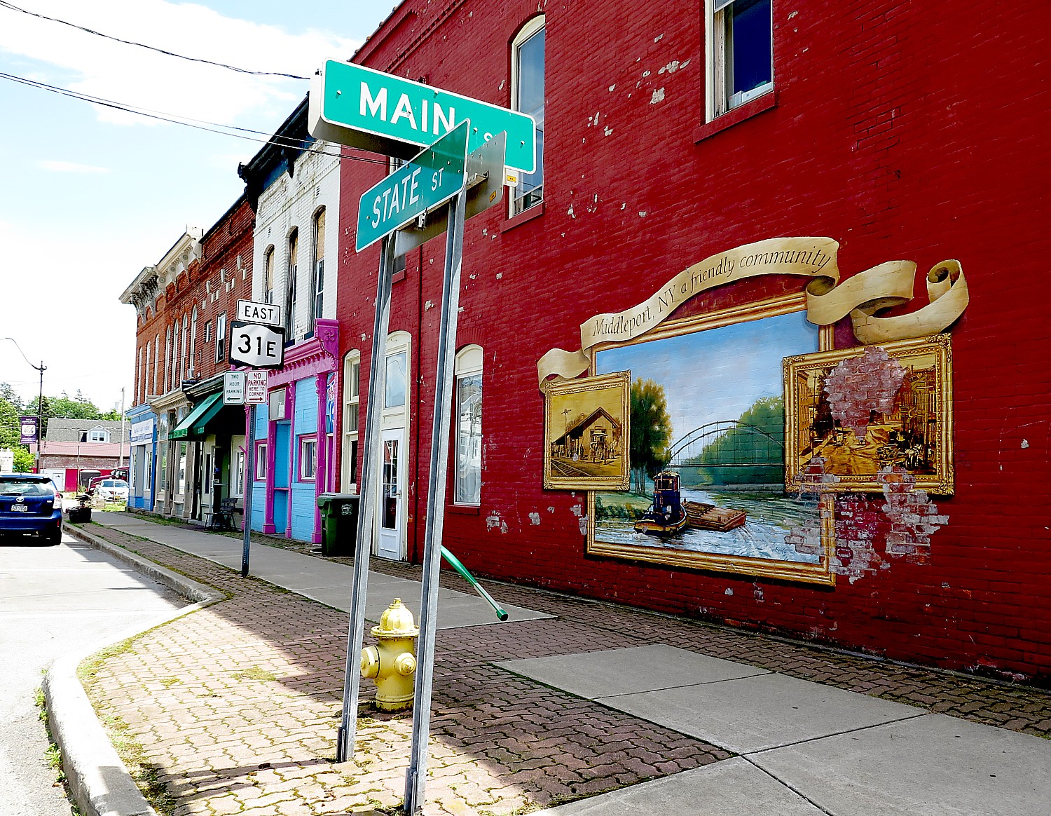
We ride through a sequence of quaint canaltowns, Gasport, Middleport, – on our way to Medina.

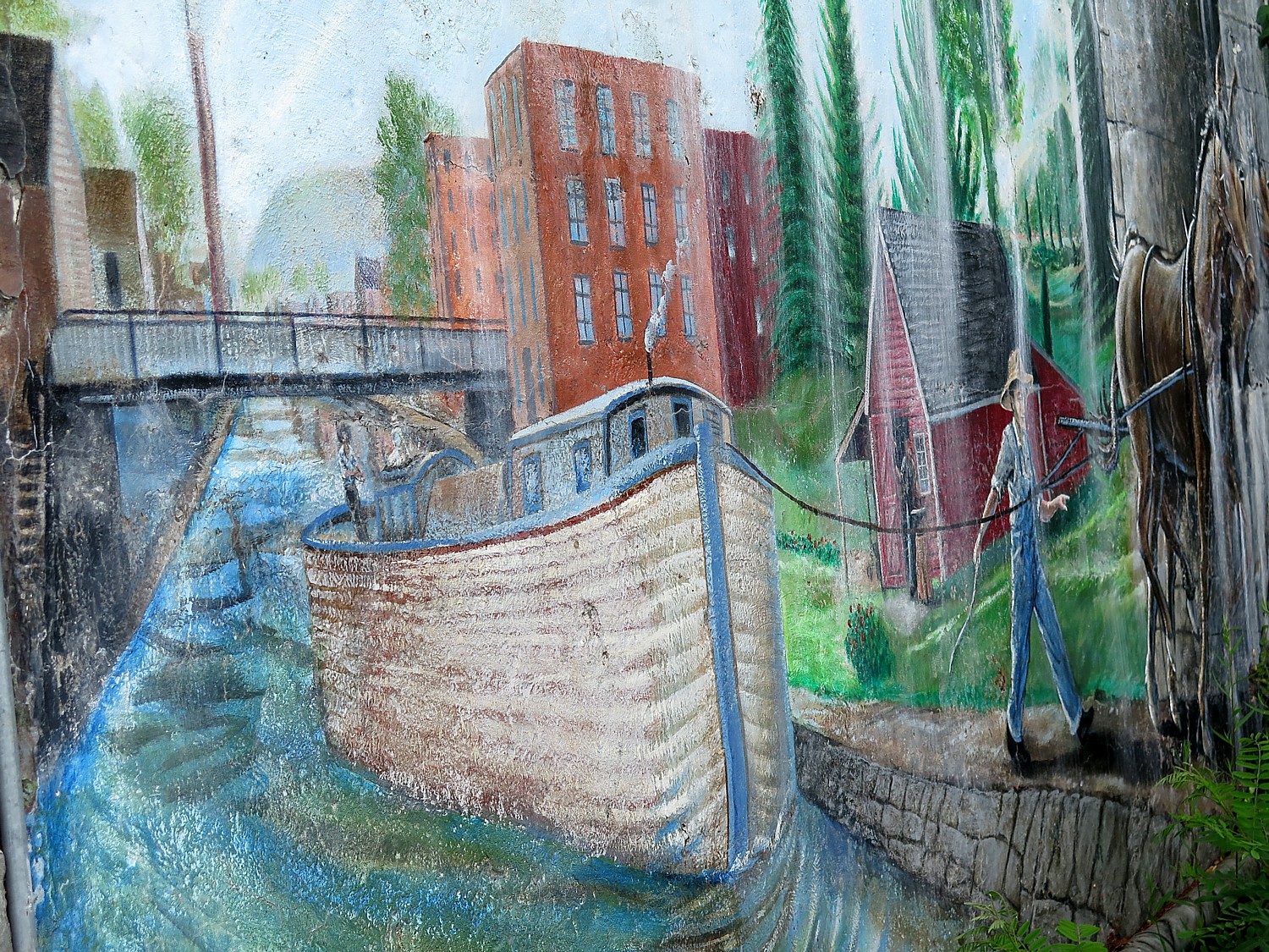
Mural at Middleport, one of the canaltowns that sprung up all along the Erie Canal, where we have a rest stop on the Cycle the Erie bike tour © Karen Rubin/goingplacesfarandnear.com

Medina is famous for its sandstone, a 19th century building material that was used for the base of the Brooklyn Bridge, the State House in Albany, St. Paul’s Episcopal in Albany and in the foundation of Buckingham Palace. The stones, discovered during the building of the canal, were prized because they were so hard, they were the best for fireproof building material.

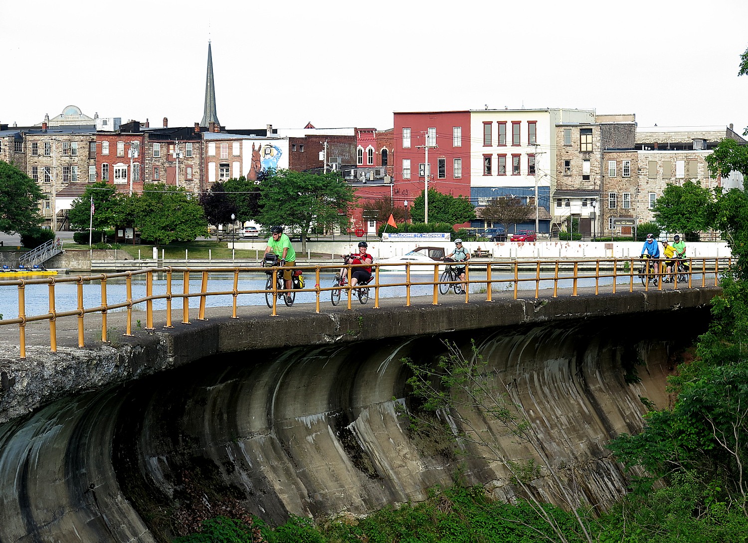
Cycle the Erie riders come into Medina, our destination. © Karen Rubin/ goingplacesfarandnear.com

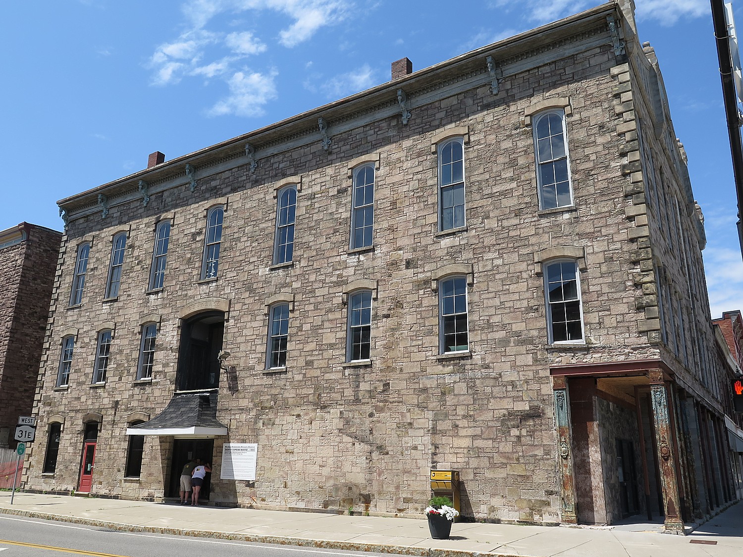
Much of Medina is built of the stone. You see it at one of America’s oldest Opera Houses (it is being restored) – a tribute to the wealth that the stone and the Erie Canal brought,.

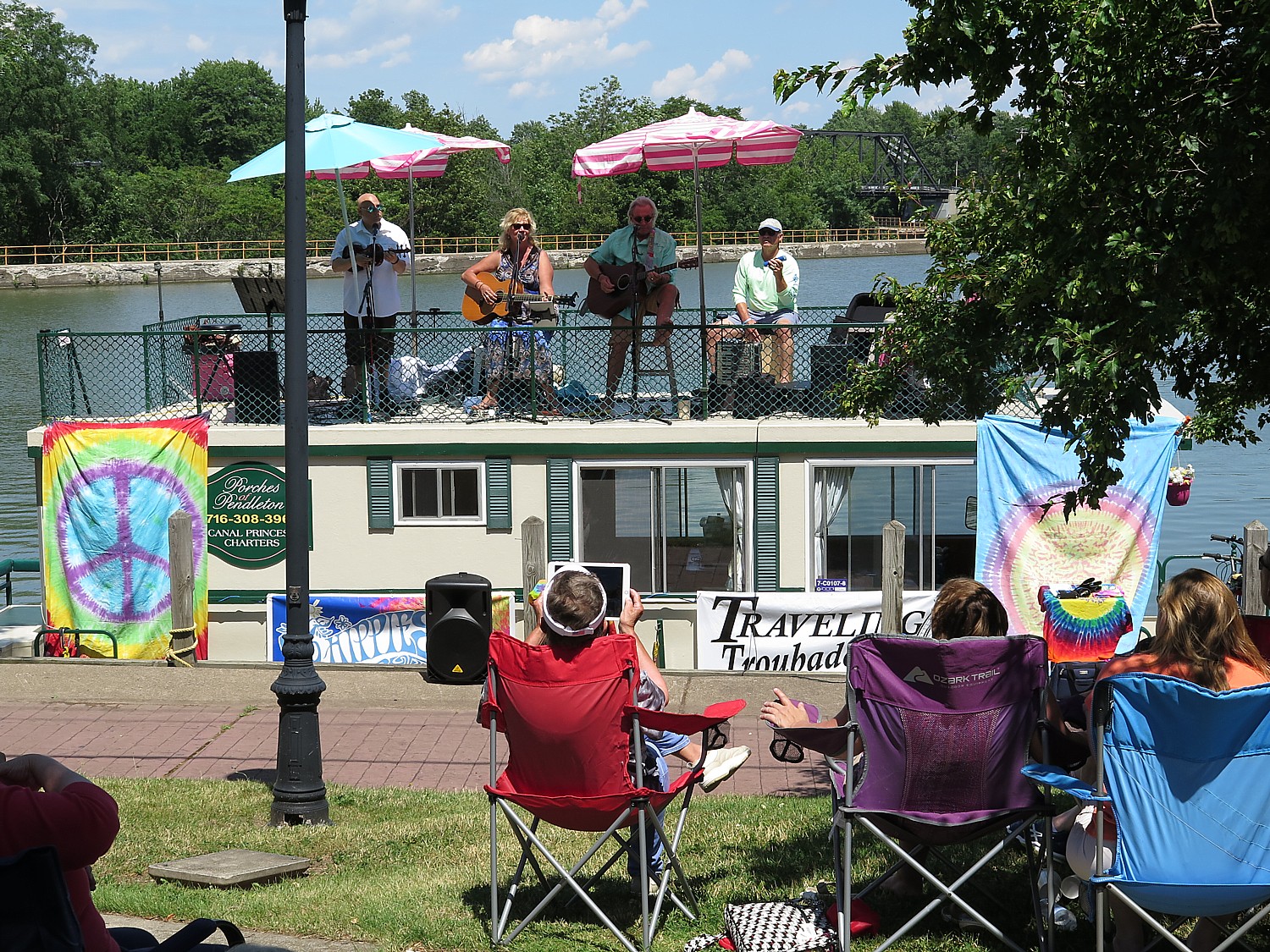
I arrive in Medina, our destination for the day, at around 2:30 pm, in time to catch a delightful folk concert at the canalside park. The band, Traveling Troubadours, perform on the roof of a rented houseboat. Wearing tie-die, the aging hippies will be spending 6 days, going canaltown to canaltown to perform.

Medina has one of the oldest Opera Houses in the country, a testament to how the Erie Canal brought prosperity to these canaltowns. Building the canal exposed the special Medina sandstone that was used for Opera House, the Brooklyn Bridge, and Buckingham Palace. © Karen Rubin/ goingplacesfarandnear.com

I must have had a tailwind because the 54 miles of biking today didn’t feel like it at all.

The architecture is absolutely magnificent – and our ride to the campground takes us through neighborhoods with gorgeous, but fading, Victorian houses.

On the way into the campsite, I stop at Medina Railroad Museum – housed in the former New York Central Freight Depot. Built in 1905-6, and 300 feet long, it is the longest wood frame freight house ever built by NYC Systems. There are over 7,000 artifacts on display covering the history of railroads from the early steam era up to the modern age. Exhibits feature vintage toy trains from Lionel, Marx and American Flyer, as well as extensive firefighting exhibit with 460 fire helmets. The HO model train layout is one of the longest on one floor in the country, measuring 204 feet long by 14 feet wide, and featuring lifelike scenery of Western New York. The museum also offers excursions on vintage trains. (530 West Ave., Medina 585-798-6106, MedinaRailroad.com)

Concert at Medina’s canalside park by the Traveling Troubadours © Karen Rubin/goingplacesfarandnear.com

As I set up my tent at the beautiful grounds of the Clifford H. Wise Middle School, I think how we have gone from an urban to a pastoral setting. They have arranged for us to swim in the school’s pool, as well as stretching class and yoga and there is a massage therapist as well. This evening after dinner, there is a talk about canal history by Tom Grasso, president of the NYS Canal Society.

The 20th Annual Cycle the Erie Canal ride is scheduled July 8 – 15, 2018 (www.ptny.org/canaltour). In the meantime, you can cycle the trail on your own – detailed info and interactive map is at the ptny.org site (www.ptny.org/bikecanal), including suggested lodgings. For more information on Cycle the Erie Canal, contact Parks & Trails New York at 518-434-1583 or visit www.ptny.org.

Information is also available from the Erie Canalway National Heritage Corridor, Waterford, NY 12188, 518-237-7000, www.eriecanalway.org.

More information about traveling on the Erie Canal is available from New York State Canal Corporation, www.canals.ny.gov.

Next: Cycle the Erie, Day 2: Medina to Fairport, 53 miles

See also:

Cycle the Erie: 400 Miles & 400 Years of History Flow By on Canalway Bike Tour Across New York State

_____________________________

© 2018 Travel Features Syndicate, a division of Workstyles, Inc. All rights reserved. Visit goingplacesfarandnear.com,  www.huffingtonpost.com/author/karen-rubin , and travelwritersmagazine.com/TravelFeaturesSyndicate/. Blogging at goingplacesnearandfar.wordpress.com and moralcompasstravel.info. Send comments or questions to [email protected]. Tweet @TravelFeatures. ‘Like’ us at facebook.com/NewsPhotoFeatures
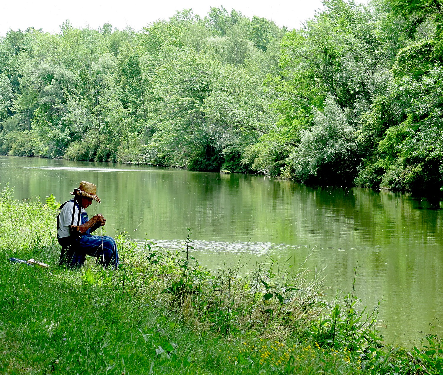
Cycle the Erie: 400 Miles & 400 Years of History Flow By on Canalway Bike Tour Across New York State

Cycle the Erie riders leaving Medina on Day 2 of the 8-day, 400-mile bike tour from Buffalo to Albany. The 19th Annual Cycle the Erie had a record 750 riders © Karen Rubin/goingplacesfarandnear.com

By Karen Rubin, Travel Features Syndicate, goingplacesfarandnear.com

To see how America came to be – and what really made America great – you need only to join Parks & Trails NY’s annual eight-day, 400-mile Cycle the Erie Bike Tour from Buffalo to Albany. Riding the multi-use Erie Canalway, which closely follows the towpath along the original Erie Canal that was built between 1817-1825, transports you 400 miles and through 400 years of history. Unfolding before you, at a pace that flows like a movie, are the pastoral scenes of farmlands, the canaltowns that sprang up to handle the trade, the factories that emerged to manufacture the myriad inventions and innovations spawned by Yankee ingenuity, you cross the Native American tribal areas, the colonial settlements, the Revolutionary War sites. You see the rise and fall of industrialization and urbanization, and now, most marvelous of all, you see before you the reinvention, revitalization and repurposing of these villages, towns, cities and communities that the Eric Canal spawned.

The Erie Canal turned a modest port called New York City into a global trade and financial center, New York into the Empire State, and the United States into a global industrial power, with New York City as its center. It turned a subsistence farmer in the Midwest into a purveyor to the world, and not only transformed geography, but society. The Erie Canal “was the Mother of Cities” – overnight, canal towns catering to the boat traffic sprung up from nowhere and cities like Buffalo, Rochester and Syracuse blossomed. The canal was an incubator for innovation and a transmitter for new ideas. It unified the nation, tying together East and West, and was the artery by which pioneers and immigrants made their way to the settle the frontier. You come away from this journey with renewed understanding of what it means to be an American.

Cycle the Erie riders in Lockport explore the Flight of Five– the original canal locks that were an engineering marvel © Karen Rubin/goingplacesfarandnear.com

Besides being a marvelous car-free trail (mostly flat), with gorgeous landscapes (you can’t believe this is New York State!), what distinguishes this bike  trip is that it is so interesting – the sites, and sights along the way. Every day is enlightening, inspiring, serendipitous. We go from urban to rural, pastoral lands and back to urban, from main streets into forest and into neighborhoods “tourists” would never see. There is so much to see, in fact, all along the way you have to make choices, which is why so many people come back multiple times. Indeed, this is my second Cycle the Erie tour.

This is no typical bike tour.

In the first place, it is one of the best managed, organized and supported bike tours you will ever experience – the 2017 ride (the 19th annual Cycle the Erie) which coincided with the bicentennial of  beginning the building of the Erie Canal, July 4, 1817 – had a record 750 cyclists. The bicentennial of the opening of the Erie Canal will be held in 2025 (I’m already making plans.)

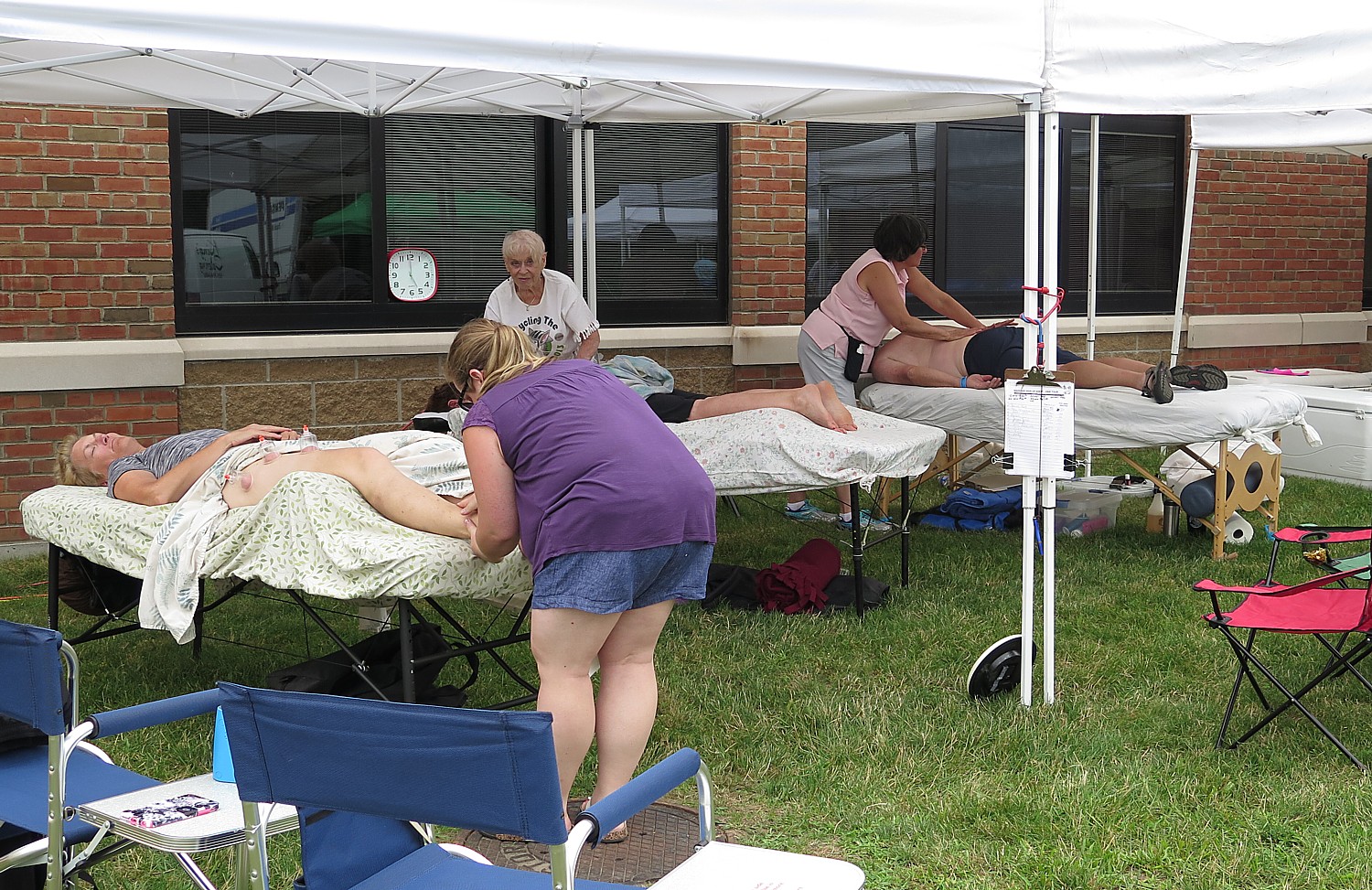
Our ride is supported by 90 volunteers and you appreciate each and every one: people who go out and mark the trail for us to follow; truck drivers and baggage handlers; SAG drivers and bikers who are there to help if someone has difficulty on the trail; rest stop crew; food service people; bike repair mechanics; medical nurse; site-set up crew; even a massage therapist and yoga instructor.

Massage therapy after a day of cycling the Erie Canalway © Karen Rubin/ goingplacesfarandnear.com

What is most impressive is how everything seems to be taken into account – texting is with a severe weather alert or some emergency, orientations that let us know what to expect from the trail and what to watch out for and what weather conditions to expect, what attractions to look for along the way, the best places to stop off for lunch and the best ice cream stops and trailside breweries, even cycling safety talks (done with great creativity and humor). Shuttle buses are organized to take us from the campsite into town for the evening; they arrange for indoor camping (typically the school gym) as well as Comfy Campers (a service that sets up tent for you, the closest thing to glamping). There are shower trucks to supplement the indoor facilities; access to swimming pools; charging stations.

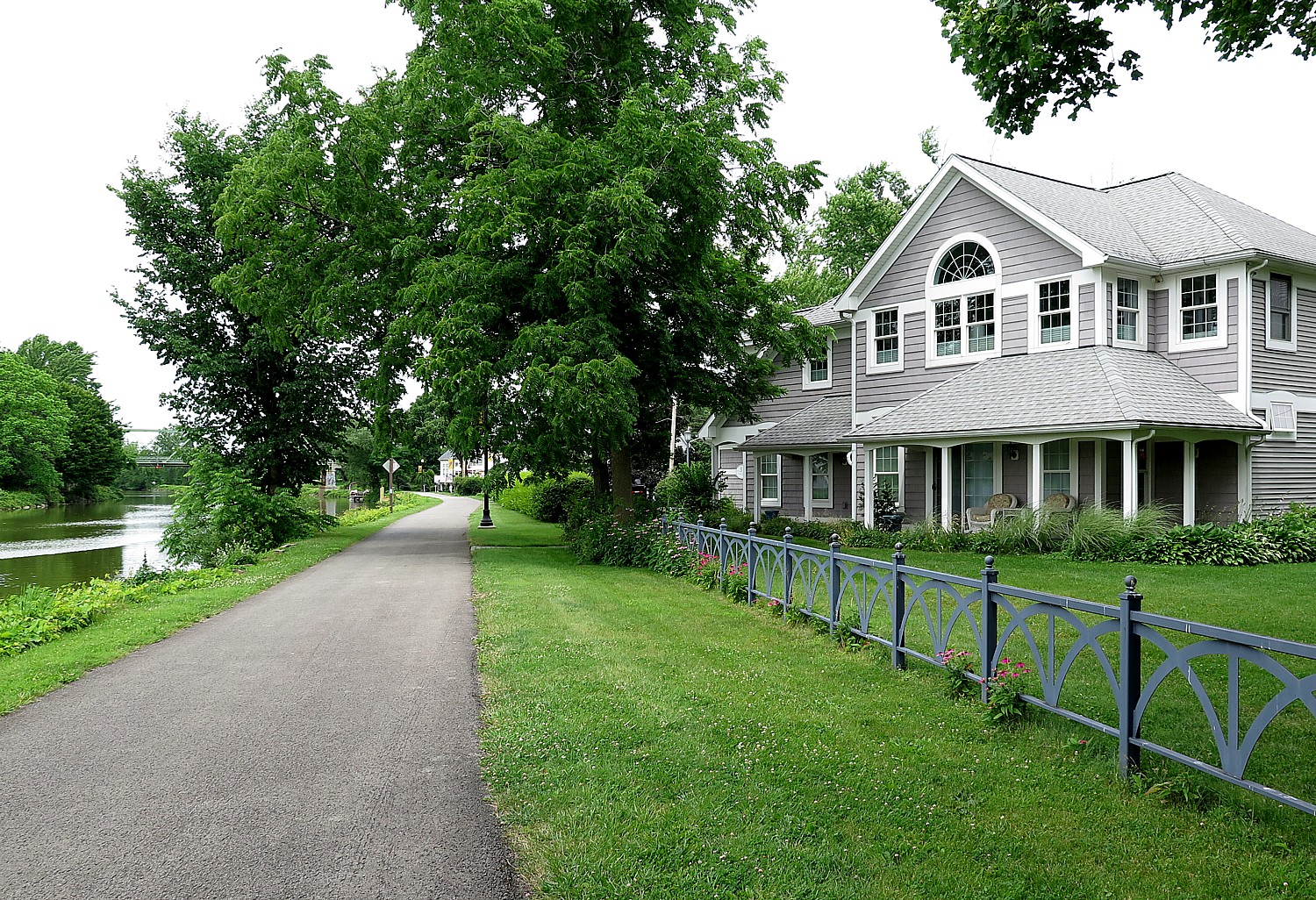
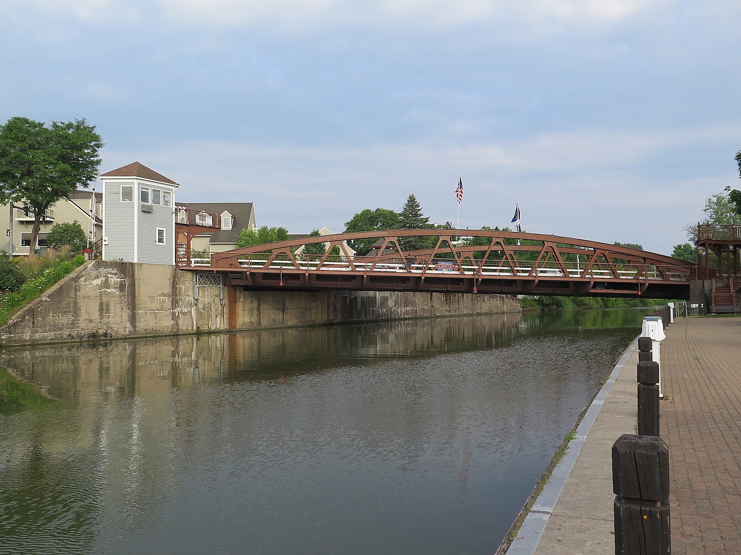
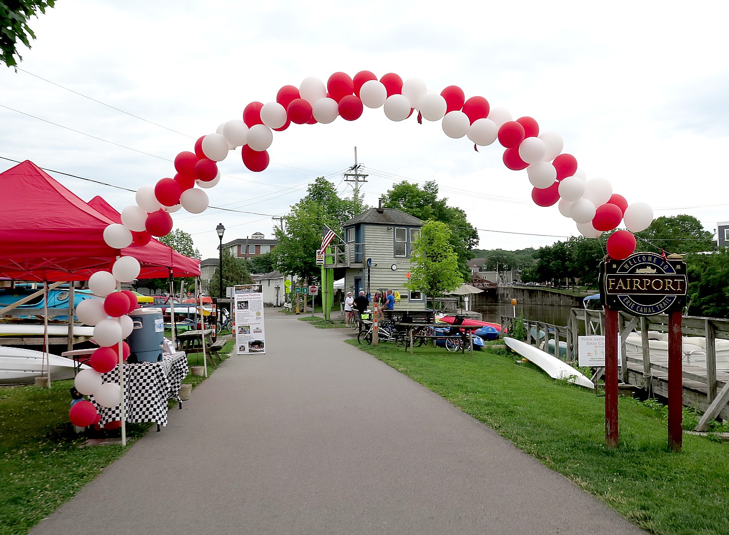
Fairport community puts out the welcome mat for Cycle the Erie riders © Karen Rubin/ goingplacesfarandnear.com

The routes are well marked and signed, and there are as rest stops morning and afternoon with water and snacks and restrooms. Very often the towns and villages set up welcome centers for us on the trail with special snacks and bottles of water that supplement the rest stops. Museums and attractions stay open, early in the morning or into the evening to accommodate us; we get discounts on admissions, shopping and free shipping just by waving our Cycle the Erie wristband.

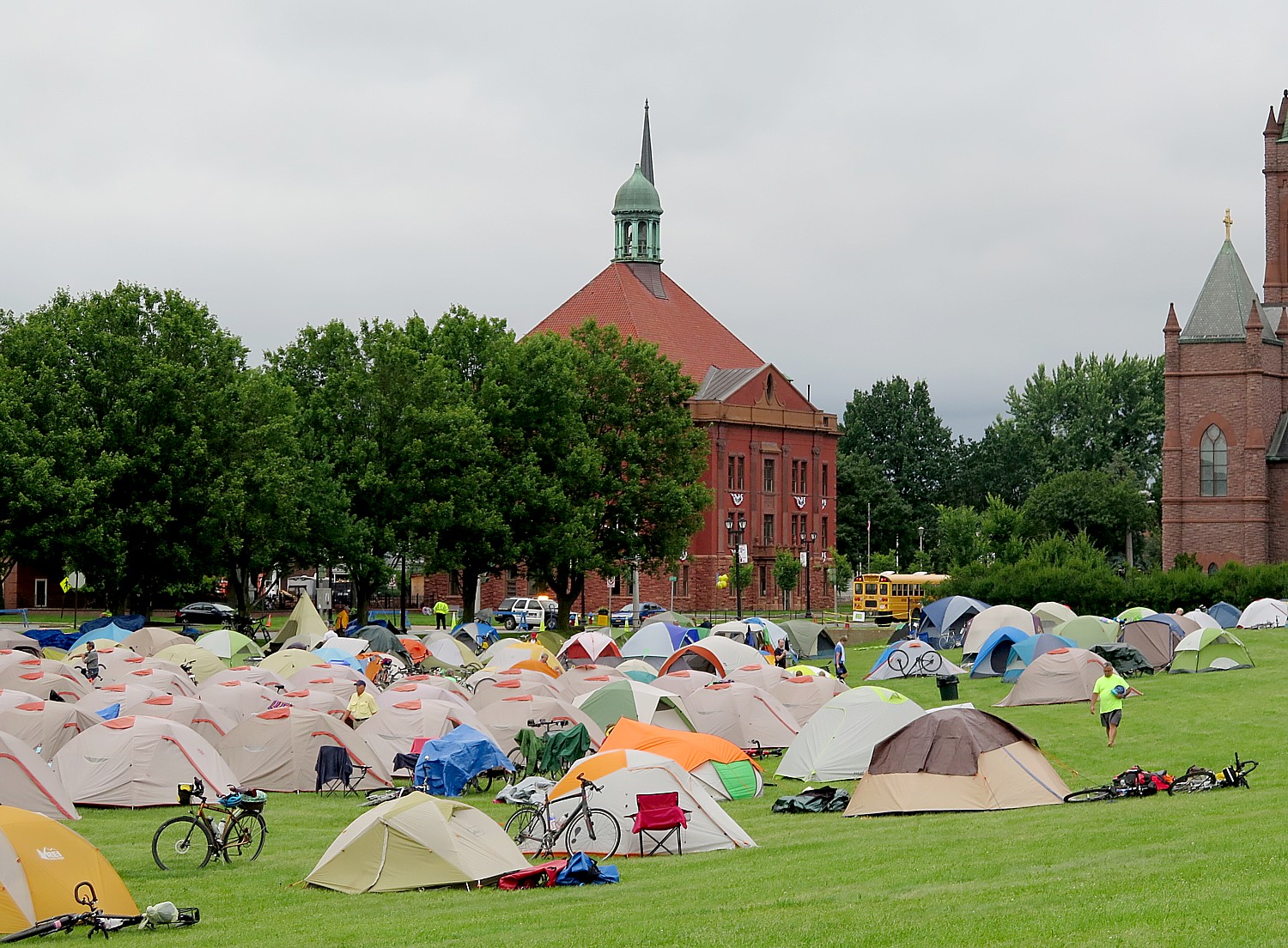
Our tent city at the base of Fort Stanwyx, Rome. For those who don’t want to pitch their own tent, Comfy Campers provides a service that feels like glamping © Karen Rubin/ goingplacesfarandnear.com

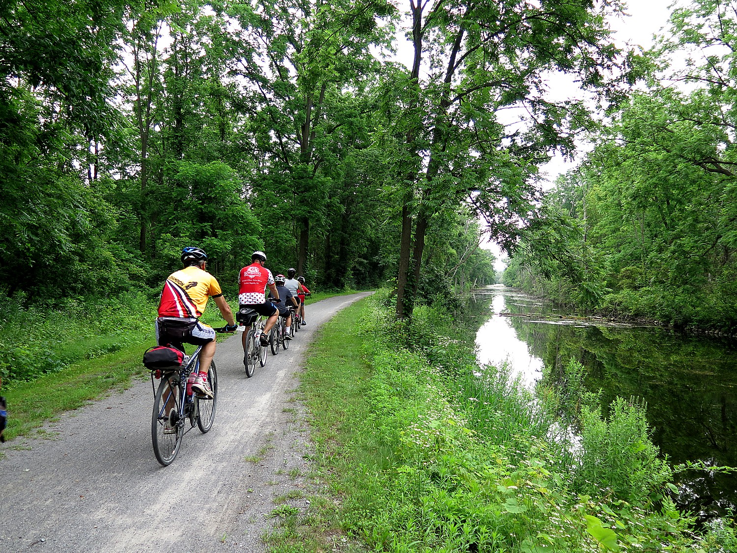
The trail makes for superb cycling – most of the 400 miles are on the dedicated multi-use trail, about 75 miles on roads (that is, until the trail is completed which is in the works by New York State). Much of the trail is crushed limestone; some of it is more rugged or overgrown (making it challenging when it rains); some is paved. The trail is mostly flat except for where we come off and ride the highway overpasses to get to our campsites, most typically on gorgeous grounds of private schools (which amazingly always seem to be at the top of a hill), and then we get to see neighborhoods that we would otherwise be unlikely to visit.

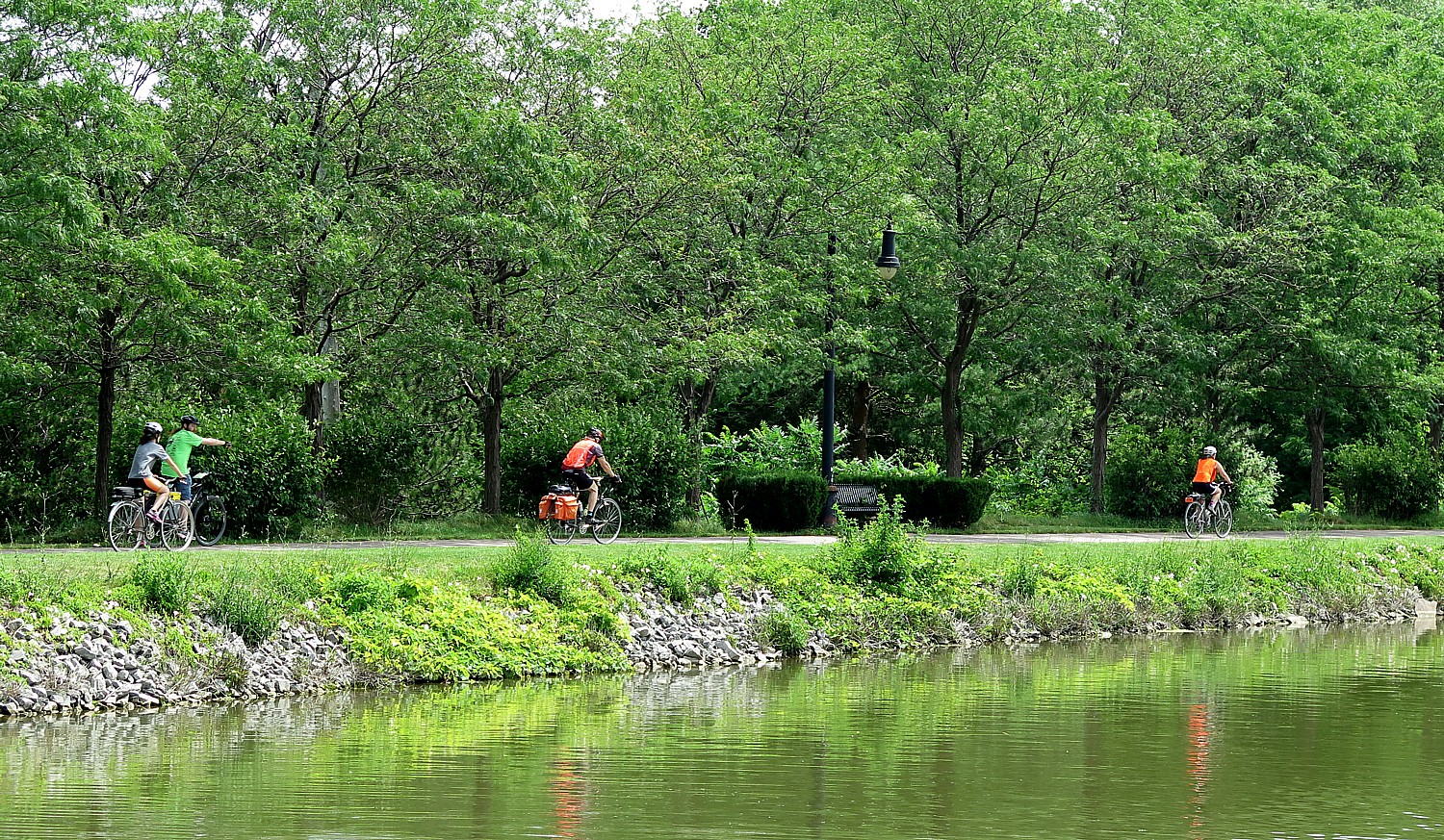
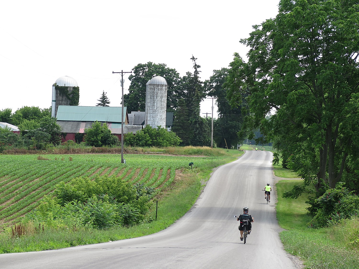
Riding the Erie Canalway. The 19th Annual Cycle the Erie 400-mile ride had a record 750 riders © Karen Rubin/goingplacesfarandnear.com

And the people! A trip like this brings like-minded people who enjoy camping, biking and discovery from across the country and around the world, and who very soon form a whole nomadic tribe. Sitting around tables at breakfast and dinner, or catching up with people on the trail, and finding people who step up to help with setting up a tent or fixing a broken pole, there is this marvelous sense of community and camaraderie. This year’s ride – with the most riders ever – drew people from 36 states including DC, 15 from Canada, as well as from as far away as Denmark, Sweden, Switzerland and the United Kingdom; the oldest rider was 84 (doing the ride for her 12th time); the youngest was 3, but the youngest self-powered cyclist was just 8 years old. Three-fourths of us are doing the ride for the first time. There were families, groups like Troop 497 from Baltimore, and lots of solos. One couple rode to the start in Buffalo from Canada and was linking this 400-mile trip to biking down to New York City.

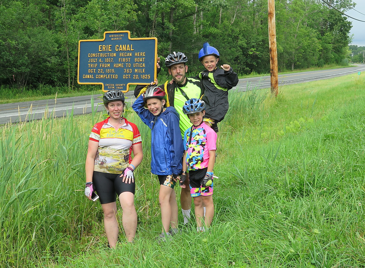
The Demeritt Family with their boys aged 4, 8, 11, from Malta NY. Sam Demeritt, age 8, was the youngest rider pedaling the 400 miles on his own © Karen Rubin/ goingplacesfarandnear.com

The unexpected treat is how fascinating the historic sites are along the way – it is so intellectually and culturally satisfying. In addition to organizing our visits so that attractions stay open for us either early in the morning or into the evening, each day there are lectures or special programs, like music.

Every day’s ride – averaging 50 miles a day but as much as 63 – is special in its own way – the sights, the experiences, the ride and its physical challenge. First timers tend to focus on the ride – making sure they can complete the distance (we travel at our own pace). But those who have done the ride before know they will be able to go the distance, so take more time to take in the sights; third timers or more explore even further afield – take that yellow brick road up to the Oz Museum, go for that farm-to-table restaurant for lunch, stop in at the brewery or ice cream shop.

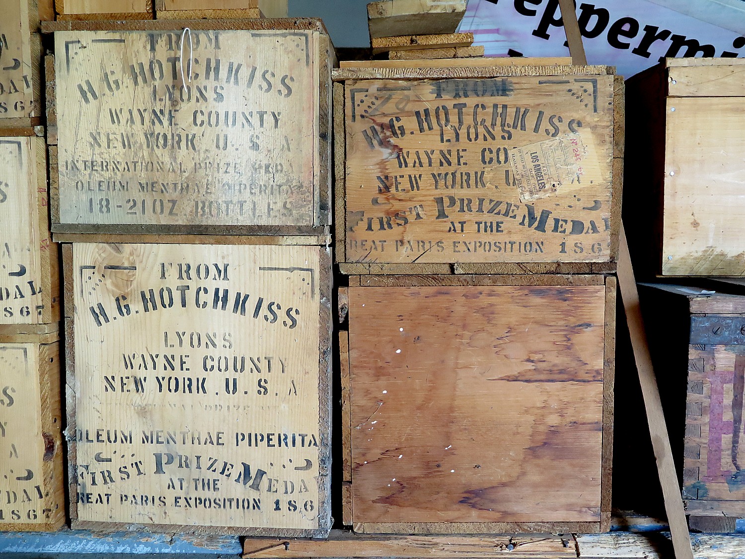
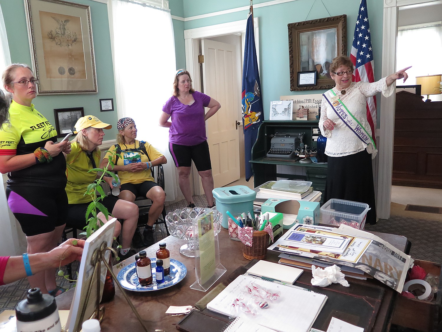
Cycle the Erie riders get a tour of the Peppermint Museum, the H.G Hotchkiss Essential Oil building, in Lyons © Karen Rubin/goingplacesfarandnear.com

This was my second time doing the ride – I did it two years before. There is so much to do – so many attractions and sites and experiences – that I tried as much as possible to do things I hadn’t done on the first ride. And then there is pure serendipity, like weather, which makes a terrific difference in the experience. Knowing what to expect (and that you have done the distance before) gives you the extra confidence to take more time to explore.

Registrations have just opened for the 2018 ride, it’s 20th Annual Cycle the Erie bike tour, which will take place July 8-15. (If you don’t want to do all eight-days, 400-miles, they offer two and four-day segments but then you would have to organize getting back to your starting place.)

And We’re Off! 

The tour begins in Buffalo and a good portion of us drive to Albany where we pull up to the Visitors Center, drop off our gear, then park in the adjacent municipal lot before boarding buses for the five-hour drive to Buffalo, where we camp at the Nichols School, a magnificent private academy. (If you don’t want to set up your own tent, you can sign up for Comfy Campers, a service which sets up a truly comfortable tent, with air mattress and fresh towel daily; there is also “indoor camping,” typically in the gymnasium at the schools where we stay. There also are recommended bed-and-breakfast inns along the way.)

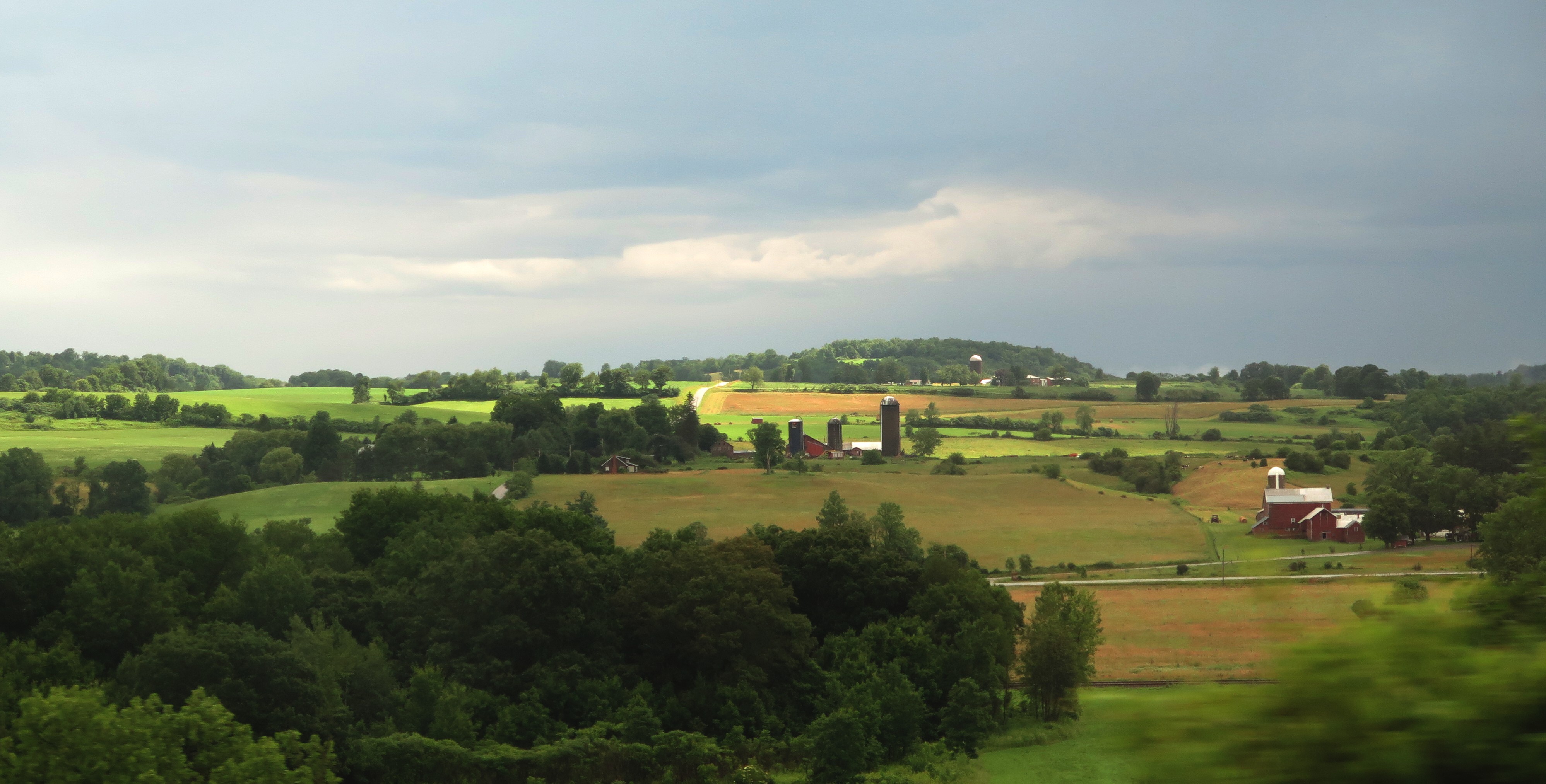
The bus ride from Albany to the Buffalo start of the 400-mile Cycle the Erie bike tour gives peeks at the New York State countryside that will be seen from the Canalway © Karen Rubin/goingplacesfarandnear.com

Our journey begins on Saturday night before the start of the ride on Sunday, on the campus of the Nichols School, a magnificent private academy in Buffalo, where we have a welcoming reception and gala dinner, and an orientation about the Erie Canal and our route  (Those of us who are here early enough can join an optional pre-tour ride to Niagara Falls and around historic Buffalo, but those of us who have come by bus from Albany arrive just in time to register and enjoy a festive kick-off reception and dinner and orientation meeting.)

The Erie Canal was the most successful public works project in America. Despite its cost ($7.7 million, the equivalent of $18 billion today), the opposition to the folly of Governor DeWitt Clinton’s “ditch” (nothing really changes) and the fact that the new nation did not even have the engineers nor the technology to build such a canal when the first shovel was put into the ground in Rome, on July 4, 1817, the canal actually quickly recouped its investment. In fact, the original canal only lasted until 1836, when it was essentially rebuilt and expanded, and then again, by President Theodore Roosevelt who redirected and replaced the Modern Barge canal altogether in 1903. No longer a “mom and pop” operation where barges and packet ships were pulled by mules, the new canal involved motorized boats.

Day One: Sunday, Buffalo to Medina, 54 Miles

Unlike my first time doing the Erie ride, when we all left at once with great fanfare, this time, we leave the campsite as every other morning, at our own pace (except that we have to get our gear on the trucks between 6 and 8 am and have breakfast (5:30-8:30 am).

Every morning during breakfast there is an orientation to that day’s ride (given twice, once for the early birds, 6:30 am and once for the rest of us, 7 am). They prepare us for road conditions, the weather forecast, alert us to any safety issues in the route, tell us about upcoming attractions we will come upon. We ride at our own pace.

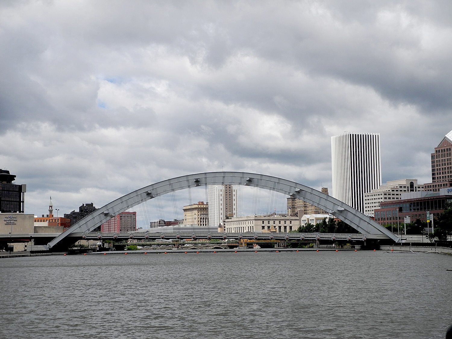
We form a line of cyclists on the five-miles we ride through Buffalo’s streets before we get to the entrance to the Canalway The streets are well marked and there are police to help us through thoroughfares. It is exhilarating to be setting out.

At the start of the Erie Canalway in Buffalo, where the bike trial has brought new housing and revitalized communities © Karen Rubin/goingplacesfarandnear.com

We ride a new section of the Canalway into Lockport – indeed, the goal of this annual 8-day, 400-mile ride is to raise money and awareness to close the gaps. And it’s worked! New York State now has an ambitious program to not only complete the entire Buffalo-Albany trail, but to create a new north-south trail, the Empire State Trail, that will link New York City to the Canadian border – 750 miles of off-road trails all together. This would be the longest state ‘shared use’ trail in nation.

Blue paint along our route points the way to a historical/attraction (for example, the Buffalo Niagara Heritage Village); orange paint on road shows us the way to bike to our destination. There are markers before and after each turn.

We reach a rest stop at 17 miles before coming into Lockport.

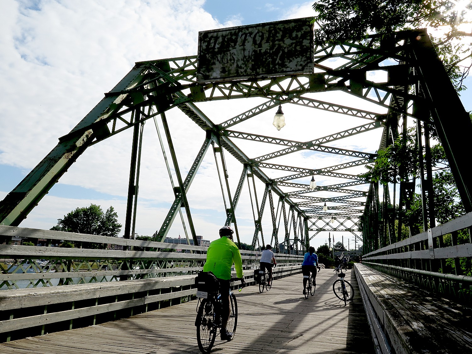
Biking into Lockport on our first day of the eight-day, 400-mile Cycle the Erie bike tour © Karen Rubin/goingplacesfarandnear.com

This day brings us into Lockport, where they have arranged for anyone who wants, a free 1 ½-hour-long cruise on the canal through two locks.

Here in Lockport, you get to see in the most compressed amount of space, the entire history of the Canal, with the original Flight of Five locks just next to modern locks (the only place where there is a double lock, one after another), combined with the story how the Erie Canal spurred America’s industrialization.

The 20th Annual Cycle the Erie Canal ride is scheduled July 8 – 15, 2018 (www.ptny.org/canaltour). In the meantime, you can cycle the trail on your own – detailed info and interactive map is at the ptny.org site (www.ptny.org/bikecanal), including suggested lodgings. For more information on Cycle the Erie Canal, contact Parks & Trails New York at 518-434-1583 or visit www.ptny.org.

Information is also available from the Erie Canalway National Heritage Corridor, Waterford, NY 12188, 518-237-7000,www.eriecanalway.org.

More information about traveling on the Erie Canal is available from New York State Canal Corporation, www.canals.ny.gov.

Next: 

Cycle the Erie, Day 1: In Lockport, See Erie Canal Engineering Marvel, ‘Flight of Five’, Cruise Thru Double Locks, and Go Underground to Fathom Rise of Industrial Revolution

_____________________________

© 2018 Travel Features Syndicate, a division of Workstyles, Inc. All rights reserved. Visit goingplacesfarandnear.com,  www.huffingtonpost.com/author/karen-rubin , and travelwritersmagazine.com/TravelFeaturesSyndicate/. Blogging at goingplacesnearandfar.wordpress.com and moralcompasstravel.info. Send comments or questions to [email protected]. Tweet @TravelFeatures. ‘Like’ us at facebook.com/NewsPhotoFeatures

Rails-to-Trails Conservancy’s Sojourn Biketour on Great Allegheny Passage Showcases Forgotten Towns

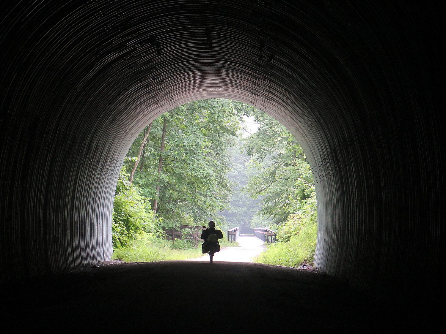
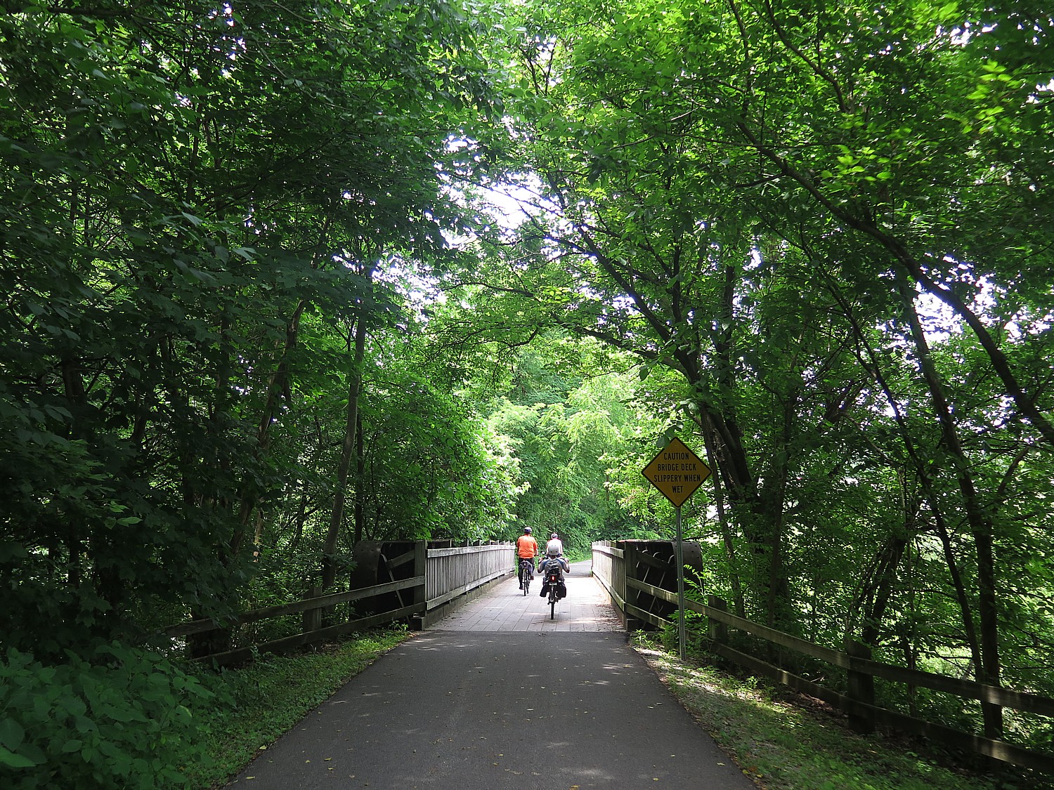
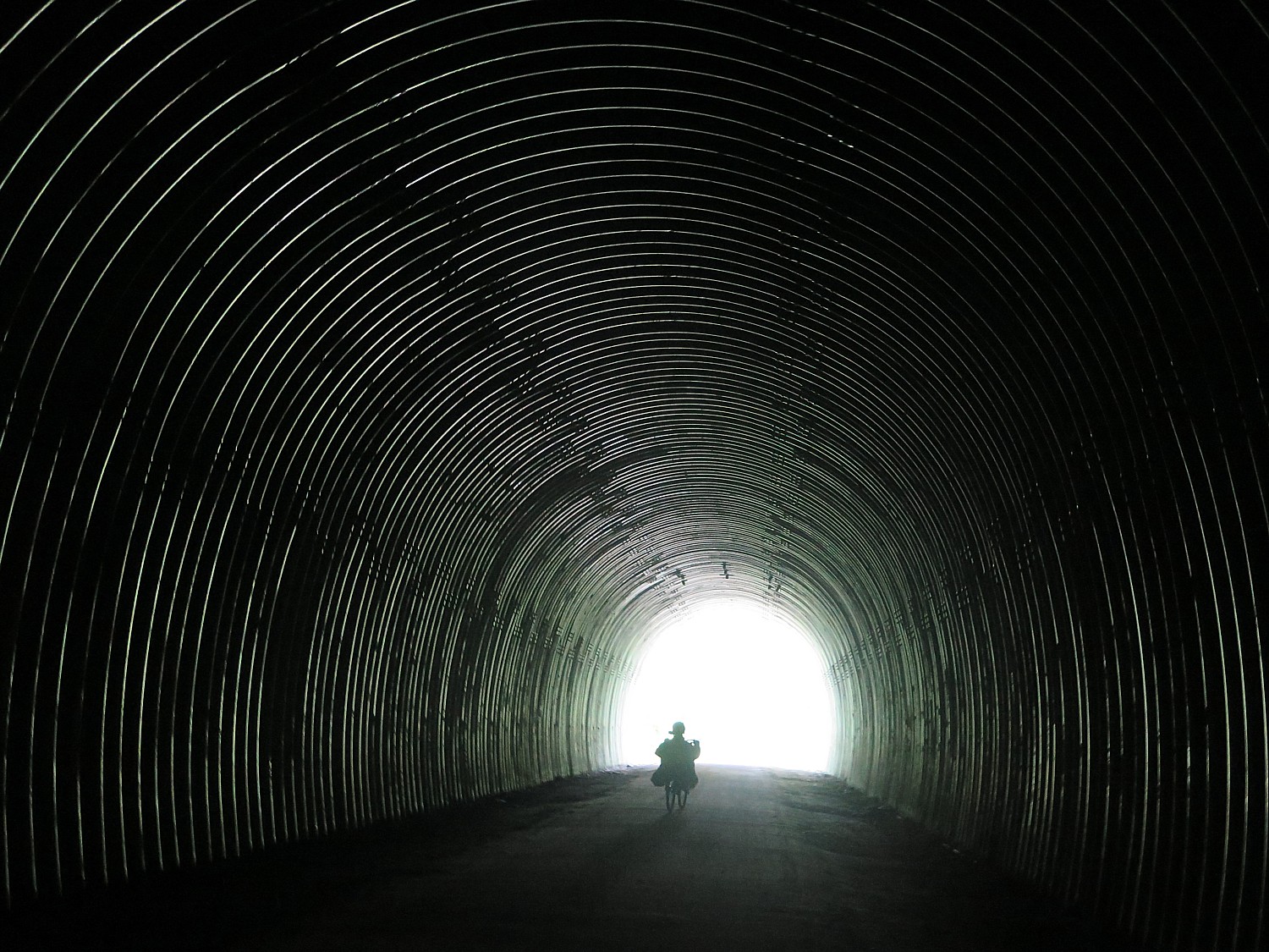
Biking through the Pinkerton Tunnel on the Great Allegheny Trail on the way to Confluence, PA © 2017 Karen Rubin/goingplacesfarandnear.com

By Karen Rubin, Travel Features Syndicate, goingplacesfarandnear.com


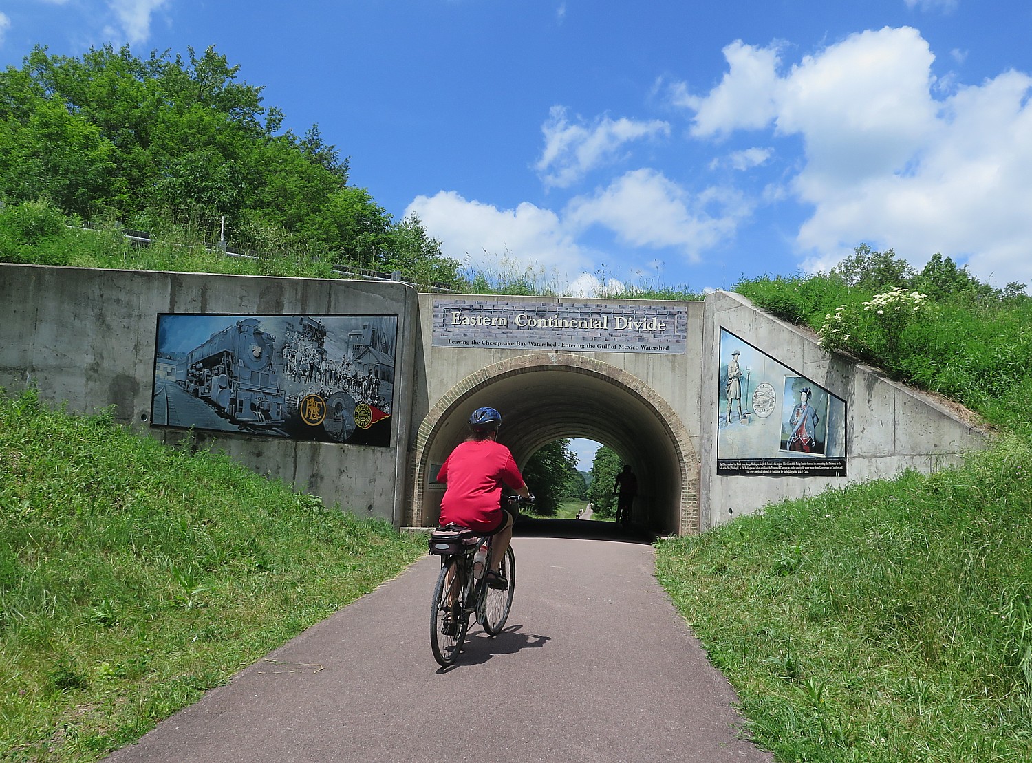
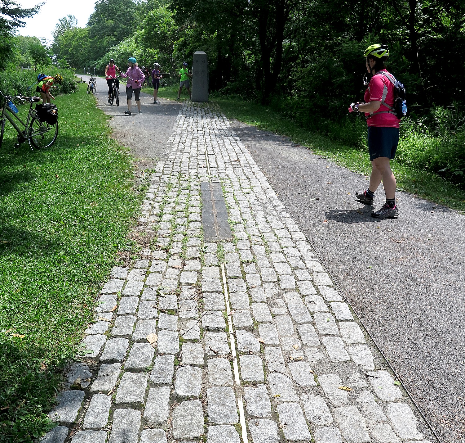
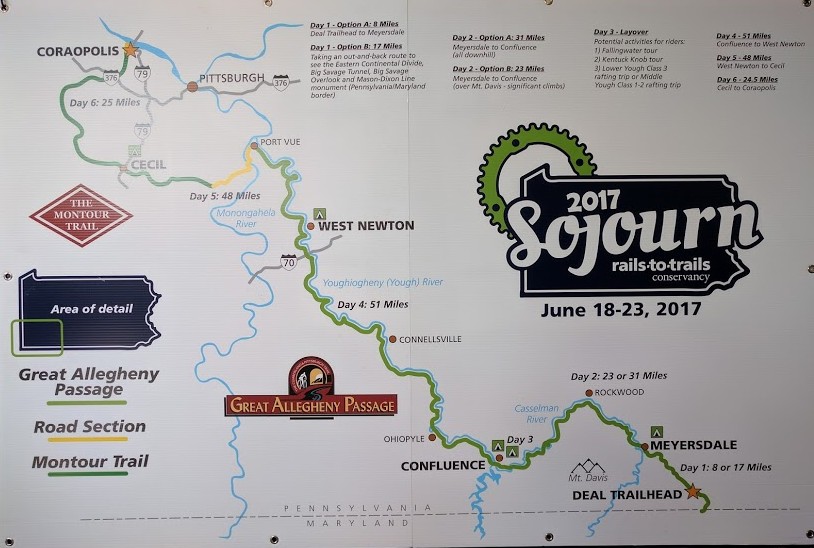
Our first day on this year’s Rails-to-Trails Conservancy’s Sojourn biketour on the Great Allegheny Passage and the Montour Trail, 140-miles biking over six days through Western Pennsylvania, brought us from Deal to Meyersdale with a side-trip that brings us across the Eastern Continental Divide (with gorgeous murals on the tunnel depicting the story), to the Mason-Dixon Line and a striking monument. It is a relatively short ride that brings us to the tented city we create at Meyersdale’s community park. We have time to explore, and to enjoy the town’s gracious hospitality with a dinner at the firehouse and pancake breakfast, complete with Meyerdale’s famous maple syrup, in the gym of the former high school. 

Meyersdale, PA © 2017 Karen Rubin/goingplacesfarandnear.com

Day 2: On the second day, we also have an option: to cruise an easy 31 miles downhill to the Confluence Outflow Campground, riding through an enchanting tree tunnel, or taking an on-the-road route to ride up to Pennsylvania’s highest point, Mount Davis. 

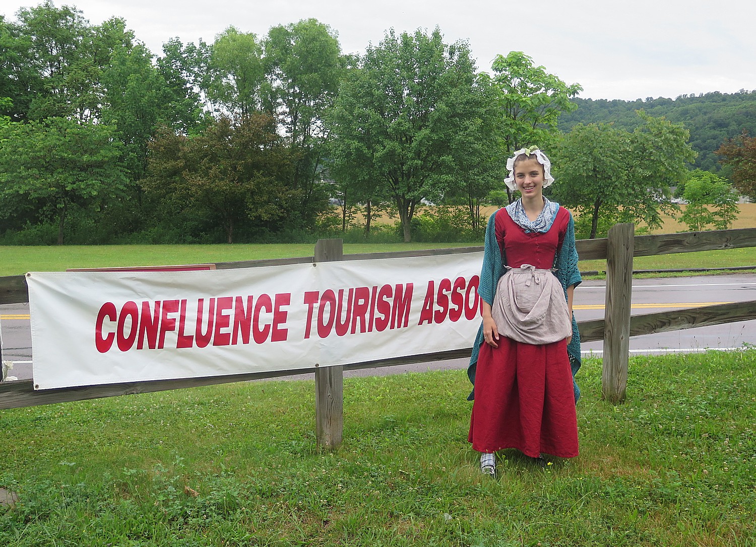
The forecast of rain all day makes the choice an easy one: the easy tree-tunnel route through tranquil forest. Despite some shelter from the trees, we get soaked, but it is a warm rain, and the amount of good cheer keeps us warmer still. The rain stops just as we arrive at Confluence, where we are greeted with two representatives of Confluence in period dress, inviting us to follow the balloons lining a route into the town center for free bike washes at the local cycle shop (and a gift!) and ice cream at the gazebo on the village green. Confluence, I am told, has a population of 700; for these two days, the census swells by 200 more. That evening, no one complains about the rain.

Rails-to-Trails Sojourners are welcomed to Confluence, PA © 2017 Karen Rubin/goingplacesfarandnear.com

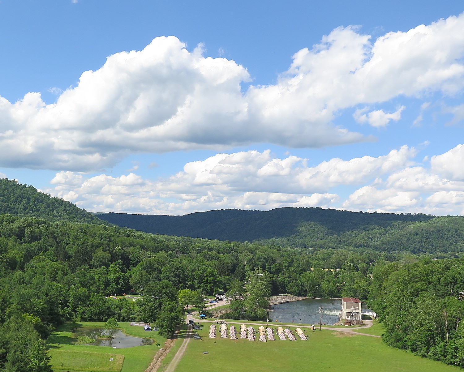
The campground is absolutely magnificent, literally at the base below the enormous dam, constructed in 1944 to control flooding and more recently, to generate hydroelectric power. It is a popular place for fishermen.

Just after our evening “talk” (a workshop on repairing our bike), and sitting around waiting for phones to recharge, we get word that there is a major storm at Ohiopyle, about 11 miles away. We have 10 minutes before it hits us. Sure enough, small drops start to fall as I am just steps away from the tent. By the time I get there, rain is coming down in sheets. 

The Rails-to-Trails Sojourn campsite in the Outflow Campground, beneath the dam at Confluence, PA © 2017 Karen Rubin/ goingplacesfarandnear.com

Day 3 is our “Fun Day” when we don’t cycle (unless we want to), but instead have a choice of activities: Fallingwater tour (designed by Frank Lloyd Wright), Kentuck Knob tour (designed by Frank Lloyd Wright), a rafting trip on the Middle Yough Class 1 – 2, or, the one I choose, a class 3 whitewater rafting trip on the Lower Yough.

In fact, 81 of us choose this option, organized by Wilderness Voyageurs, the same company that organizes the Rails-to-Trails Conservancy’s Sojourn rides including this one (the company has a catalog full of bike tours). I’ve done a fair amount of white water rafting trips in the past, but this one on the wonderfully scenic Youghiogheny River was absolutely the best – truly thrills and chills, especially since this is the only Class 3 rafting experience offered as a “guide-assisted” instead of having a guide in each raft. That means we are arbitrarily put into rafts and we “elect” a captain. This proves a great challenge and  a great experience (I lasted about 5 minutes as captain, exactly one set of rapids, when one of our four rafters got bounced out and we all decided to go into other rafts, leaving one of the guides to portage the raft to a point where he could deflate it and pick it up later). Getting bounced out of the raft – going for a “swim” – is not unusual and we have been cautioned to only wear what can get wet or lost.

We aren’t really on our own – one guide positions himself on a rock and gives us hand signals how we should “attack” the rapid, where to enter and so forth (though the instructions are for naught when inexperienced paddlers can’t follow directions, forget which is left and right, or are being bounced so high, they can’t reach paddle into the water); other guides in a kayak and in a raft are there to pick up anyone who is bounced out, and three of the rafts have guides in them (that’s the one I go into). Over the course of the trip, several of us get tossed out of the raft; one fellow gets a bit beat up.

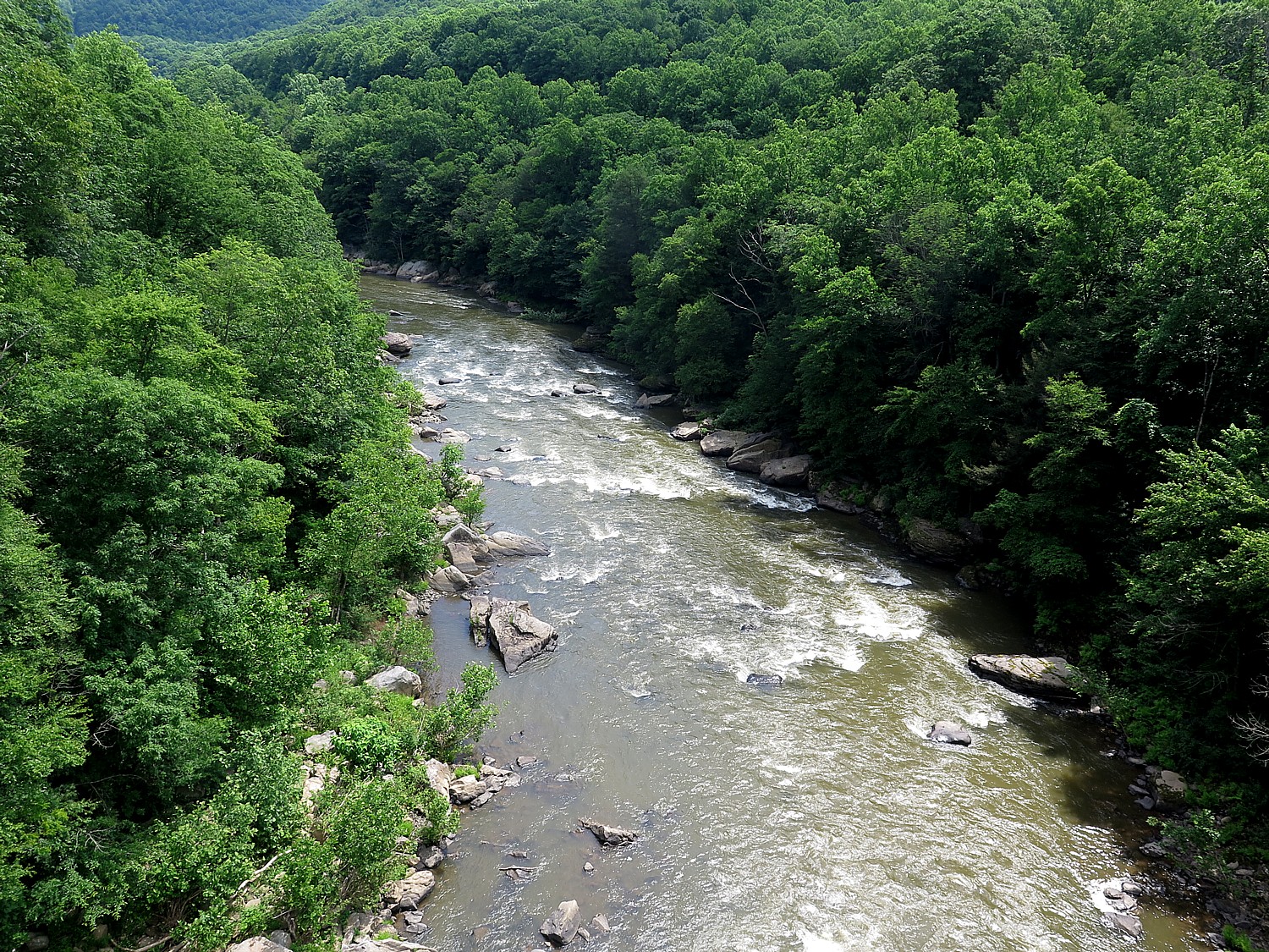
A view of a portion of the lower Youghiogheny River where we had our class III whitewater rafting trip just the day from the overpass on the Great Allegheny Trail © 2017 Karen Rubin/goingplacesfarandnear.com

There is one point, though, where we come to an ominous sign warning that anyone who doesn’t want to raft through this particular set of rapids can portage their raft around it. The reason is because there is an underwater cavern, and if you get bounced out here, it is possible to be sucked down under. (Our guide says that most people die of heart failure rather than drowning. Small comfort.) The lead guide says that if any one of us in a raft wants to portage, the whole raft has to. We are in the lead raft and get to watch everybody coming through, cheering them on. Everyone makes it through.

We pull in for lunch at a small lagoon – we fill pita with chicken salad (fantastic) or tuna, cheese, lettuce and tomato, and have a wonderful time before continuing on down the river.

I don’t even know how long we are on the river – it all goes by so fast. But we are back at the campground by around 3 pm.

Storyteller Pennsylvania Jack © 2017 Karen Rubin/ goingplacesfarandnear.com

A few of us climb up to walk across the dam – the lake that was formed is popular for swimming and boating.

That evening, we are regaled by Pennsylvania Jack, a storyteller, and there is a campfire with s’mores.

Day 4 is our longest ride – 58 miles on the schedule (albeit mostly downhill), but with an option that increases the distance to a touch over 62. This section of the Great Allegheny Passage, between Confluence and West Newton, where we camp, is the most scenic, with much of it going through the stunning Ohiopyle State Park (Pennsylvania’s largest in land area). We ride along the river for just about the entire distance. When we reach the Ohiopyle State Park Visitors Center, about 11 miles into the ride, I go off the trail to do a hike that I had heard about the year before: Cucumber Falls. I had seen a painting of it in the Visitors’ Center, where there is an excellent historic exhibit, and heard about a hike starting a short walk from the center, and always regretted not doing the hike then.

Biking the Great Allegheny Passage, Confluence to Ohiopyle © 2017 Karen Rubin/goingplacesfarandnear.com

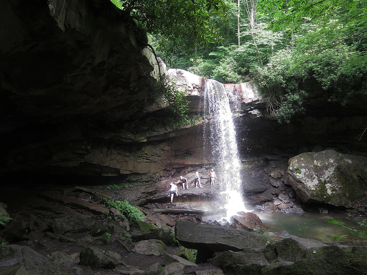
“Follow the yellow feet on the sidewalk,” they tell me. The hike is just about 25 minutes each way – a little over a mile – and proves absolutely enchanting: you follow yellow markings on trees and rocks, do some scrambling, and then, you make a turn and there ahead of you is the most magnificent falls, tucked into the woods. I felt as if I were John Muir coming upon Yosemite Falls for the first time.

Cucumber Falls, Ohiopyle State Park, PA, reached by an enchanting hike scrambling through the woods, along the Youghiogheny River from the Visitors Center © 2017 Karen Rubin/goingplacesfarandnear.com

The lighting is perfect – just a touch of sunlight hitting the waterfall. It is a magical experience and I am transfixed.

(I heartily recommend this hike, which should add 1 to 1 ½ hrs to the day’s ride time.)

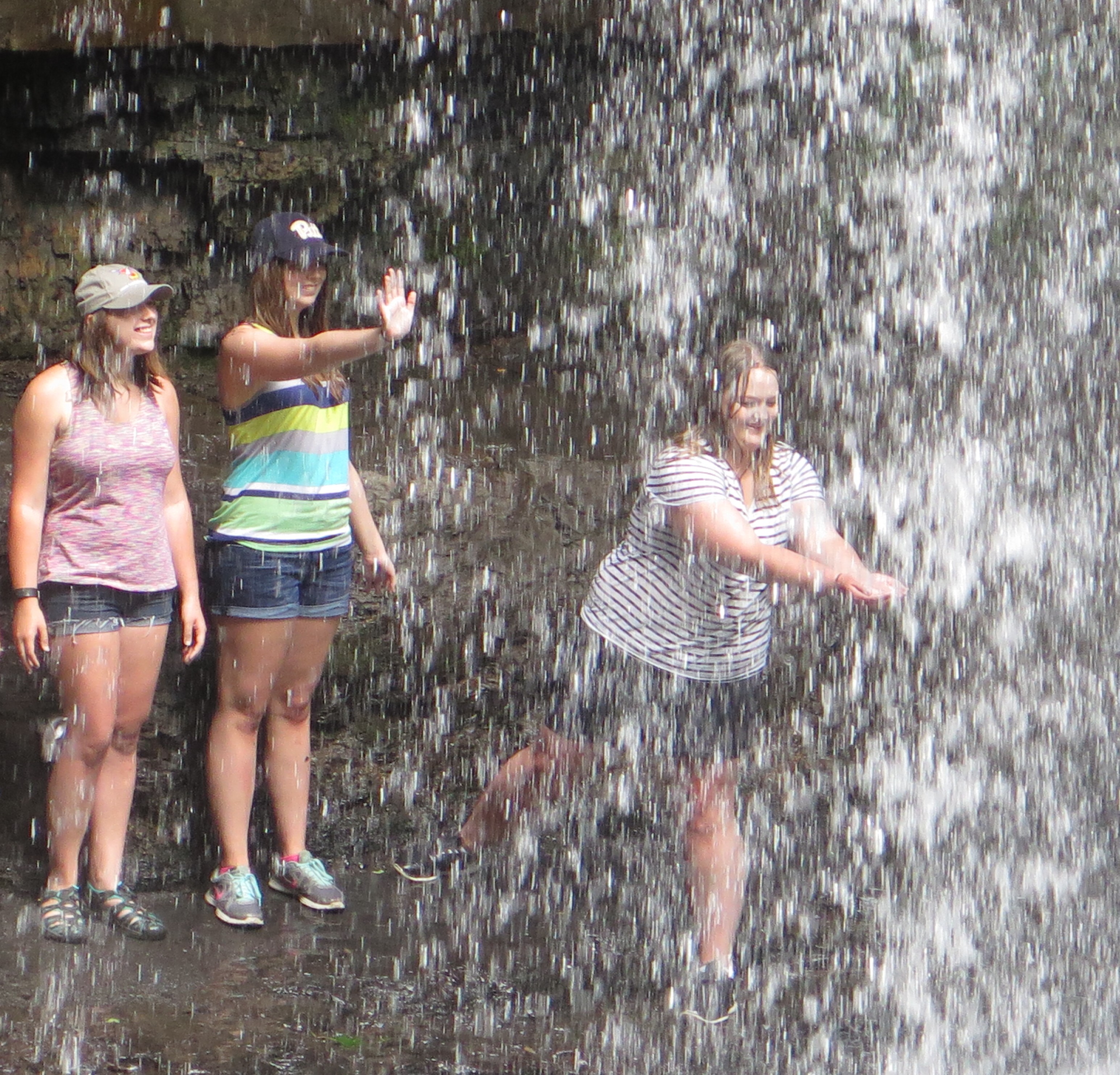
Climbing up behind Cucumber Falls © 2017 Karen Rubin/ goingplacesfarandnear.com

I’m calculating the extra time, as I get to mile 25.9 (not even halfway), when we have another option: to steer off about 2.1 miles on the Sheepskin Trail connector off the GAP, to go into the tiny town of Dunbar. Having visited last year, I knew this was an off-trail visit not to be missed, especially when you come in this way, off a back trail (even worth the half-mile over a rocky unimproved section). (See: Pascal Glass Sculpture with Trump Connection is Boon for Dunbar) 

The sculpture and the rest of the historical society is really worth seeing (www.dunbarhistoricalsociety.com).

Dunbar, PA, once a glass-manufacturing center that depended upon railroads, now seeing a new lease on life with rail-trails and the Pascal “Seated Torso” sculpture, donated by Donald Trump, on view in the historical society © 2017 Karen Rubin/goingplacesfarandnear.com

The train tracks come straight through the middle, as if a main street. On the village green is a coke oven and a memorial to those who died in a nearby mine accident.

RTC has basically adopted Dunbar as an example of how a town can be revitalized through tourism and culture.

Dunbar, PA was a bustling town a century ago, © 2017 Karen Rubin/ goingplacesfarandnear.com

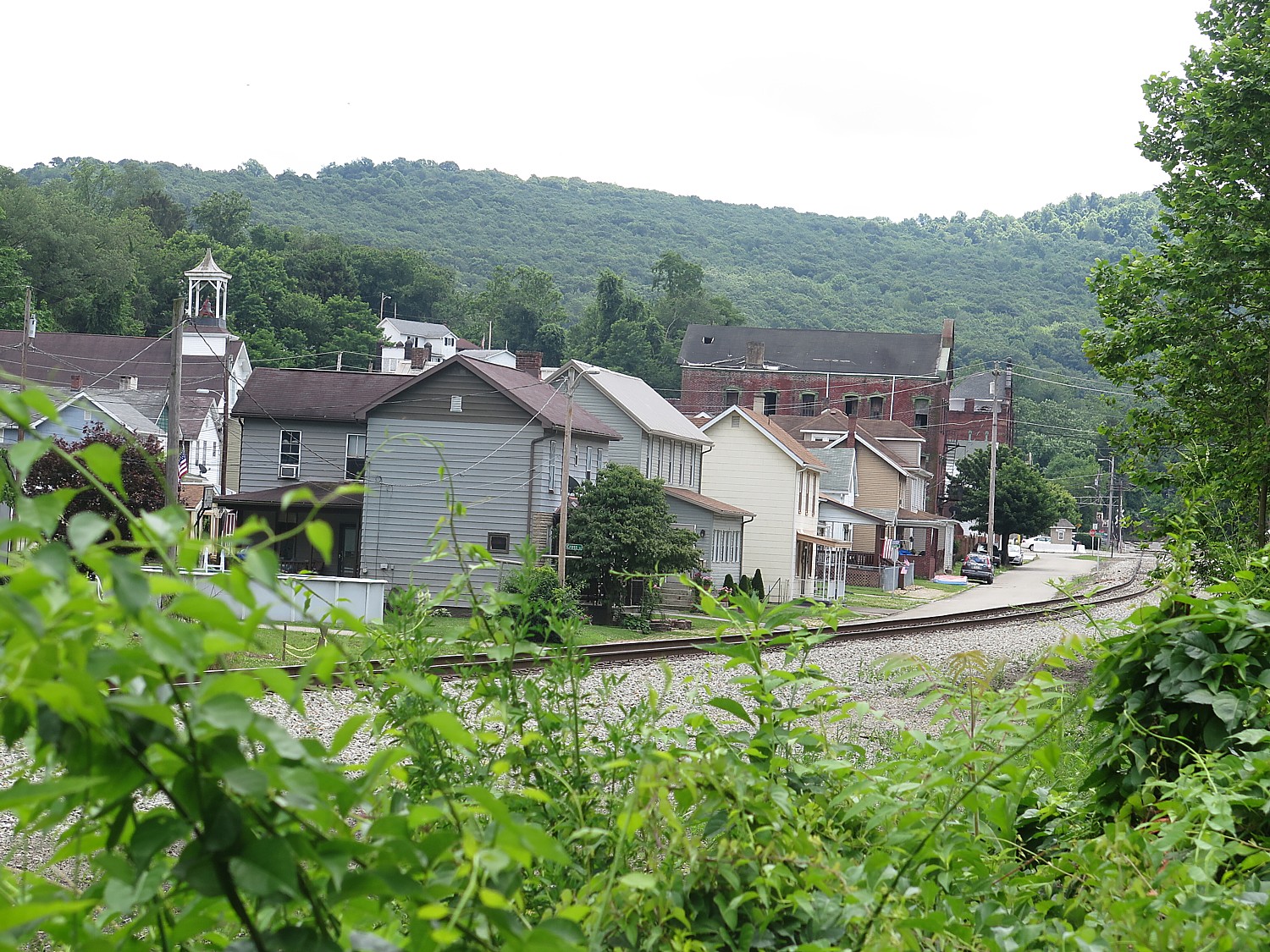
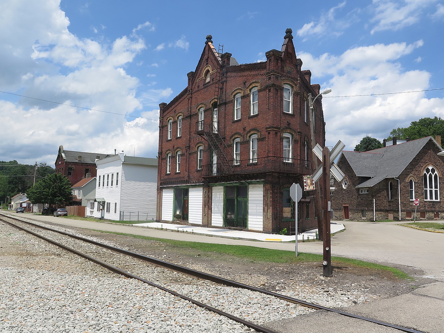
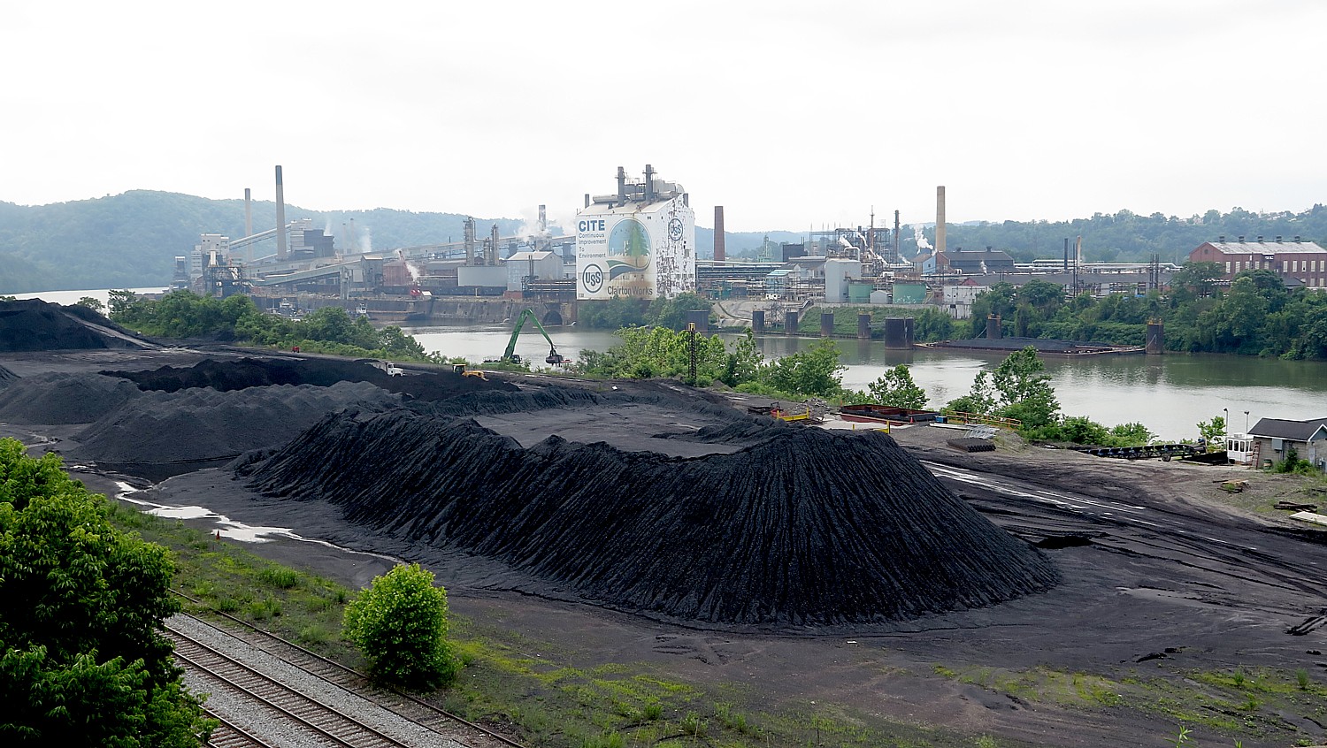
Day 5: This proves our most challenging day – not just because it is 48 miles of cycling after yesterday’s long ride, but I suspect because of the humidity and also because much of it, it seems, is uphill. But it also proves very interesting, as we leave the GAP after 17 miles (just after Boston, PA, where the trail becomes very urban, bringing a certain culture shock after such pastoral scenes.). To get from the GAP to the Montour Trail, we ride six miles on urban streets, through a small town of Glassport (where we are treated to snacks and cold water at a church), ride over a bridge to Clairton that gives us an eyeful into what I expect defined Pittsburgh just a couple of decades ago: a humongous pile of coal dwarfing the trucks scooping it up, and across the railroad tracks, a giant carbon materials and chemical plant. We finally get to the beginning of the Montour Trail, which includes several places where you are on/off the trail, on/off a shared road.

Culture shock as we leave the pastoral Great Allegheny Trail, ride through Clairton, on our way to the Montour Trail © 2017 Karen Rubin/ goingplacesfarandnear.com

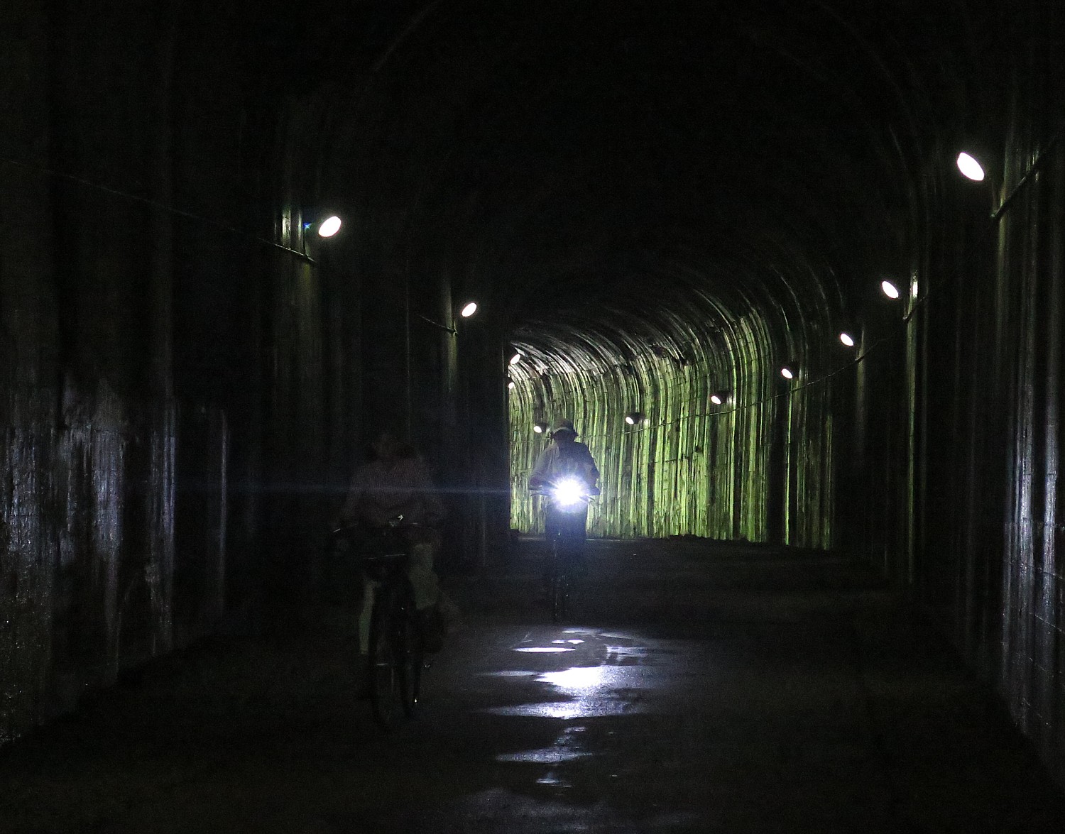
At one point, I ride around a bend and find myself in a different time zone or the Twilight Zone – a hodgepodge of train cars, trucks, firetrucks, gas pumps and signs from the 1940s or so, as if they were just left there.  After a rocky start, the Montour Trail becomes as idyllic as the GAP, nestled in trees. A highlight is the 600-foot long National Tunnel.

Biking through the National Tunnel on the Montour Trail © 2017 Karen Rubin/goingplacesfarandnear.com

We finally arrive at the small town of Cecil, where we camp at the Cecil Township Ballfield Park, and are treated to an absolute banquet (no kidding), Sierra Nevada beer, and finish off with a talent show.

It pours during the night (I am snug in the Comfy Camper tent), but amazingly stops just in time for breakfast. We are told to expect a break in the rain from 8 to 11am – exactly how much time we need to go the 26 miles to the end of our ride, including the last mile of the Montour Trail (actually an added mile that goes beyond the zero-milepost that they are working to improve), which is very definitely “off road”. The trail is really nice – it is wonderful to see how local communities show their pride and appreciation for the trail with beautiful gardens and rest stations. It also offers an example of the serendipity that takes place on the trail: I suddenly come upon what appears a depot of antique trucks, cars, gas station pumps and signs – either the historical society or a warehouse for theatrical props.

Local volunteers worked to improve rail bridges for bikers on the Montour Trail © 2017 Karen Rubin/goingplacesfarandnear.com

This last day’s ride also lets us see some of the “hybrids” and innovations in repurposed multi-use trails – a section of the Montour is a trail-beside-a-rail – the multipurpose trail is carved out of the right-of-way beside the active rail line.

We also literally ride over the “Panhandle” Trail which goes to Parkersburg West Virginia, with the connector that ultimately will allow bikers to cycle from Pittsburgh to Parkersburg (PtoP).

As for the rain, sure enough, as I pull into the parking lot at 11:15 am, the drops turn into deluge in a matter of moments.

Rails-to-Trails Conservancy, Washington, DC 20037, 202-974-5150, Railstotrails.orgTrailLink.com. 

Rails-to-Trails Conservancy’s Sojourn is a wonderful introduction to bike touring.

Wilderness Voyageurs, which operates the Sojourn on the GAP for Rails-to-Trails Conservancy, offers Ride the GAP trips with bed-and-breakfast accommodations (they portage luggage from inn to inn), as well as a full catalog of guided bike tours that includes Colorado; Missouri’s Katy Trail; Idaho’s Hiawatha & Coeur D’Alene; South Dakota’s Mickelson & the Badlands; the Erie Canal, Finger Lakes, and Adirondacks in New York; Shenandoah and the Civil War; Gettysburg & the Civil War; Maryland’s Chesapeake Bay; Pittsburgh to DC on the GAP & C&O; Pennsylvania’s Amish Country; Kentucky’s Bike & Bourbon; Georgia’s Gold Coast; and a biking trip in Cuba. (855-550-7705, Wilderness-Voyageurs.com)

See also:

Rails-to-Trails Conservancy’s BikeTour on Great Allegheny Passage Highlights Benefits of RailTrails

Pascal Glass Sculpture with Trump Connection is Boon for Dunbar, Pennsylvania


______________

© 2017 Travel Features Syndicate, a division of Workstyles, Inc. All rights reserved. Visit goingplacesfarandnear.com,  www.huffingtonpost.com/author/karen-rubin , and travelwritersmagazine.com/TravelFeaturesSyndicate/. Blogging at goingplacesnearandfar.wordpress.com and moralcompasstravel.info. Send comments or questions to [email protected]. Tweet @TravelFeatures. ‘Like’ us at facebook.com/NewsPhotoFeatures
Rails-to-Trails Conservancy’s BikeTour on Great Allegheny Passage Highlights Benefits of RailTrails

Riding over the Eastern Continental Divide on the Great Allegheny Passage railtrail on the first day of Rails-to-Trails Conservancy’s Sojourn biketour © 2017 Karen Rubin/goingplacesfarandnear.com


By Karen Rubin, Travel Features Syndicate, goingplacesfarandnear.com
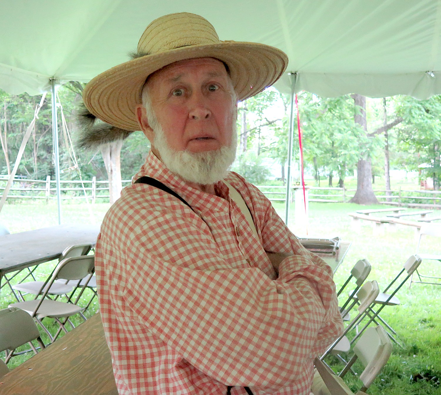
 

The ages of the 200 of us on this year’s Rails-to-Trails Conservancy Sojourn, biking 150-miles along the Great Allegheny Passage (GAP) and Montour Trail across western Pennsylvania, ranges from 9 to 83 years old. Indeed, there are 15 young people and three octogenarians among us.

A bike tour such as this, along relatively flat trails free of cars and other hazards, is a great equalizer: youngsters feel competent, accomplished, adventurous; and oldsters, well, feel competent, accomplished, adventurous and youthful.

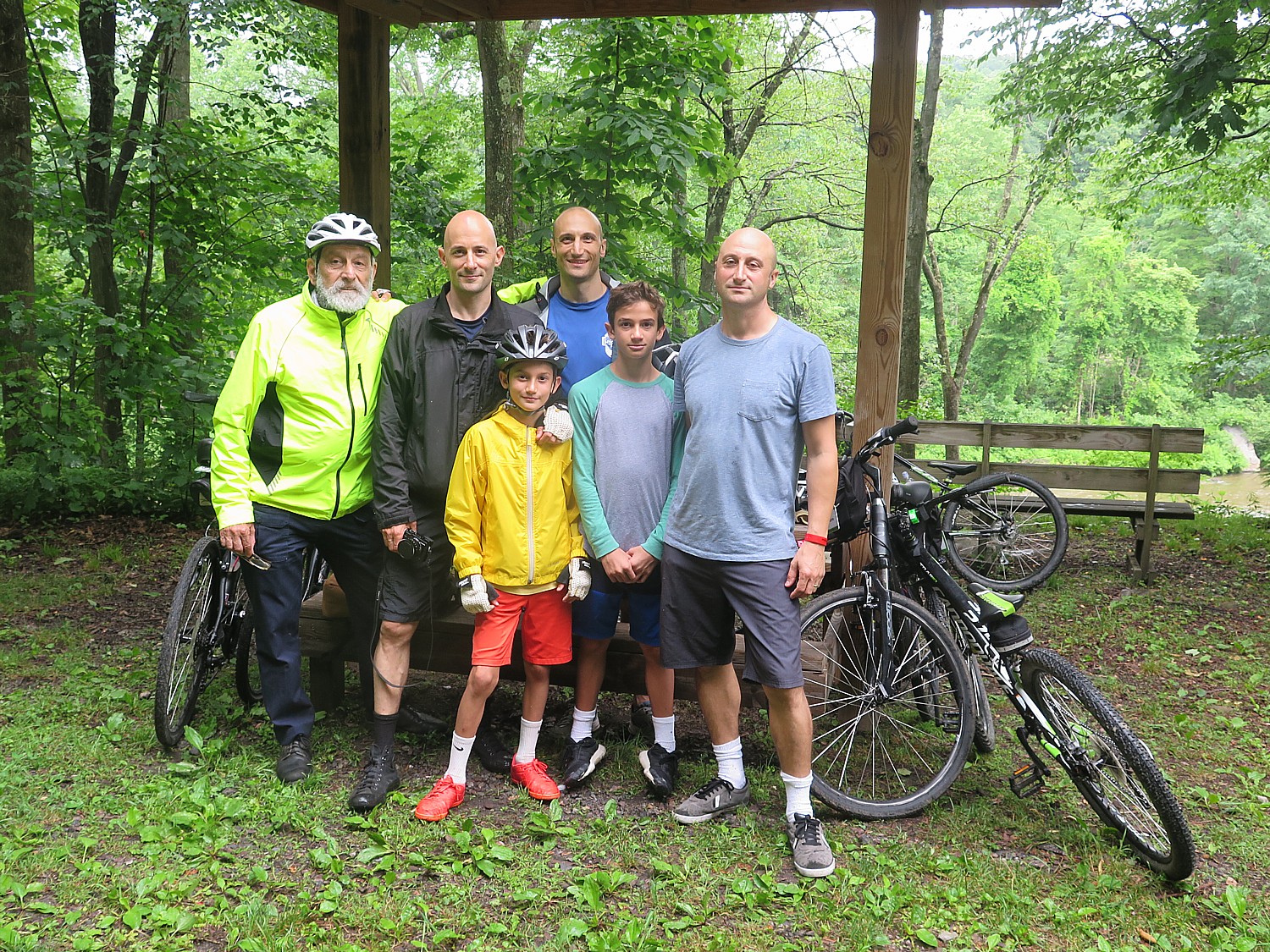
Our group comes from more than 30 states plus Canada and as far as Alaska, including families, three generations (a grandfather who is a retired physics professor, his three sons and two grandsons); grandfathers with grandsons, a mother with her son; husbands without wives; wives without husbands; and single women relishing the simultaneous independence with community.

Three generations of the Parsegian family who have come from Massachusetts, Texas, Michigan and New York to bike the Great Allegheny Passage on the RTC Sojourn © 2017 Karen Rubin/ goingplacesfarandnear.com

I reconnect with a couple from DC whom I first met on the 400-mile Erie Canal bikeride two years ago, again last year on this RTC Sojourn on the GAP, and this year, we find ourselves sitting next to each other on the bus from the drop-off to the start of the ride – he is the 83-year old. I meet people like Ed Holowinko of Connecticut, who was one of the activists who helped save the Walk over the Hudson, when otherwise, the bridge would have been taken down and instead has become one of the most popular attractions in the state. I meet people who defy the stereotype of an environmentalist cyclist: a woman who is as comfortable riding her motorcycle as her bike and a man who proudly defends the NRA (though political discussions are assiduously avoided, just as at any family gathering).

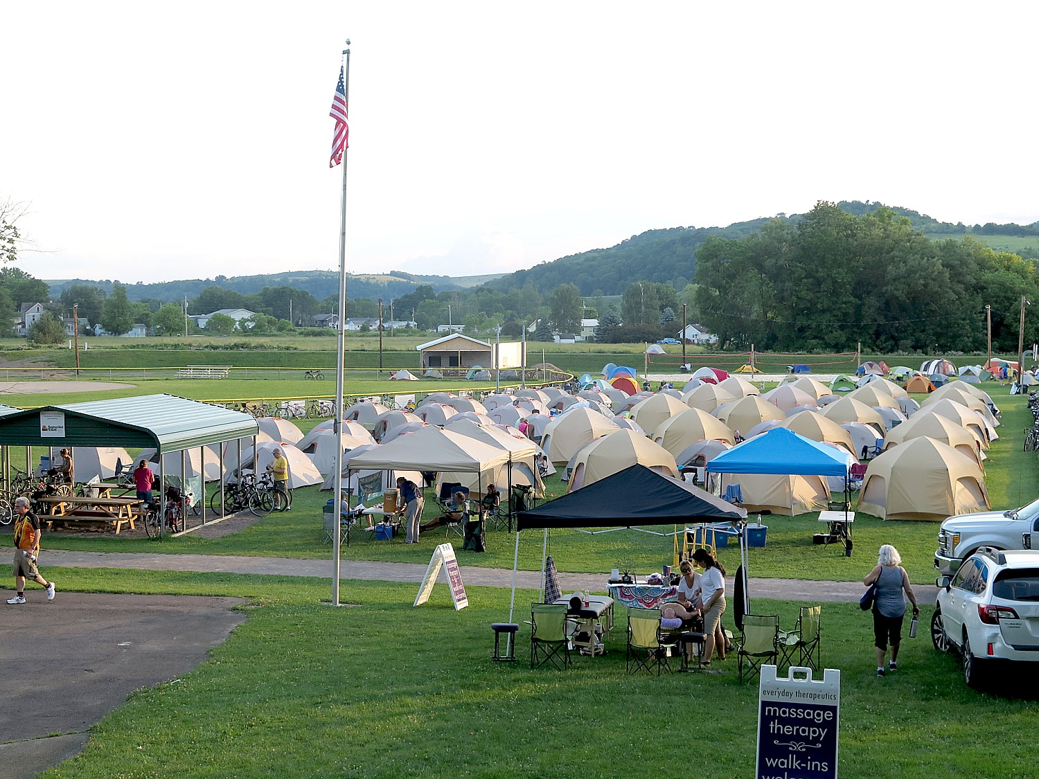
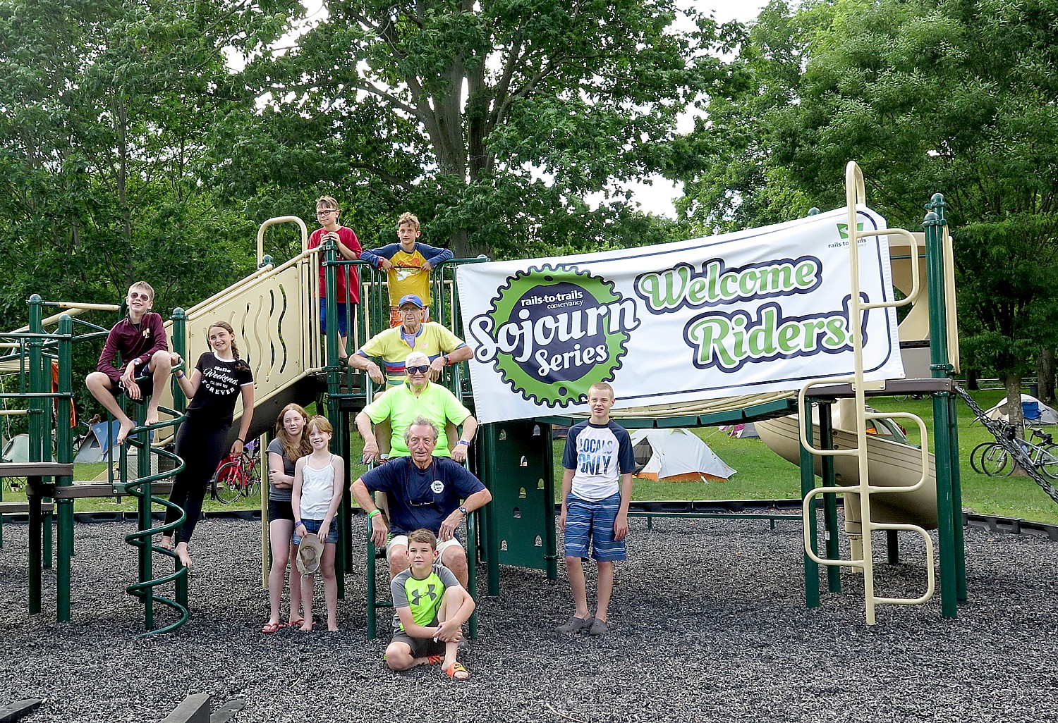
Comfy Campers set up 81 tents for the RTC Sojourners – the closest thing to “glamping” – creating a tent city at Meyersdale © 2017 Karen Rubin/goingplacesfarandnear.com

The supported ride is ideal for singles and families as well as those on their first biketour or experiencing their first long-distance ride: a luggage truck brings your stuff from one campsite to the next; there is breakfast and dinner provided daily; shower trucks and portasans supplement the campsite’s facilities; charging stations. If you don’t want to set up a tent, you can luxuriate in hiring Comfy Campers which provides a terrifically comfortable, watertight tent with air mattress, chair, fresh towel daily, cooling area with water and lemonade and chargers – the closest thing to “glamping” you can find. (Those who don’t want to camp can take advantage of bed-and-breakfast accommodations along the route.) In addition, there is a bike mechanic and massage therapists, and a volunteer nurse who travel with us.

There is such a sense of community that immediately forms in our tent city – sitting around long tables at breakfast and dinner; waiting for a turn at the shower truck, brushing teeth at the sinks – it’s like a giant pajama party. The kids come together in games and activities; we gather around for an evening talk (one night Pennsylvania Jack, a storyteller, regaled us), a campfire, and, for the final night, a talent show (contestants competed for the grand prize, a Fuji bike!). Another nice feature this year: Sierra Nevada Brewing Company joined as a sponsor, and we have free beer (terrific Pale Ale!) on a few of our dinners.

Oldest and youngest among us on Rails-to-Trails Conservancy’s 140-mile Sojourn on the Great Allegheny Passage and Montour Trail © 2017 Karen Rubin/goingplacesfarandnear.com

There are endless conversations with people who have never heard your stories before that typically begin, “Where are you from?” I meet a woman from Michigan who, now retired, takes one of these long-distance biketours on rail-trails practically monthly – Michigan’s Upper Peninsula; the Katy Trail, in Missouri; the Louisiana Bayou.

Many of us (one-third, in fact), had been on this Sojourn on the Great Allegheny Passage before, including me, but the destination and the experience is so fantastic, it is delightful to return over and over. Each day provides a different highlight, and each person will have a different experience. And each day brings its own serendipity, its own uniqueness – the season, weather, lighting, chance encounters, different things to explore. Indeed, even the sections of the Great Allegheny Passage that I had traveled last year in spring were very different this summer.

The Great Allegheny Passage crosses over the Mason-Dixon Line © 2017 Karen Rubin/goingplacesfarandnear.com

What is more, there are significant differences in the itinerary – this year’s trip was longer in distance and days, starting out closer to the Mason-Dixon Line and the Eastern Continental Divide (and the beginning of the 150-mile long GAP, which starts in Cumberland, Maryland, 21 miles further east from the Mason-Dixon line, but would involve a steep uphill climb; the way we do it, there is only a slight incline and most of us ride the mere 4 miles out and back, adding a mere 8 miles to the first day’s tally); featured a “fun day” in Pennsylvania’s magnificent Ohiopyle State Park when we get to choose among four different activities (I choose a Class III whitewater river rafting experience which is sensational; others choose a milder Class I river rafting trip, or visits to one of two Frank Lloyd Wright-designed homes, Fallingwaters or Kentuck Nob, and still others just do their own thing), which also meant we had two days at one campsite.

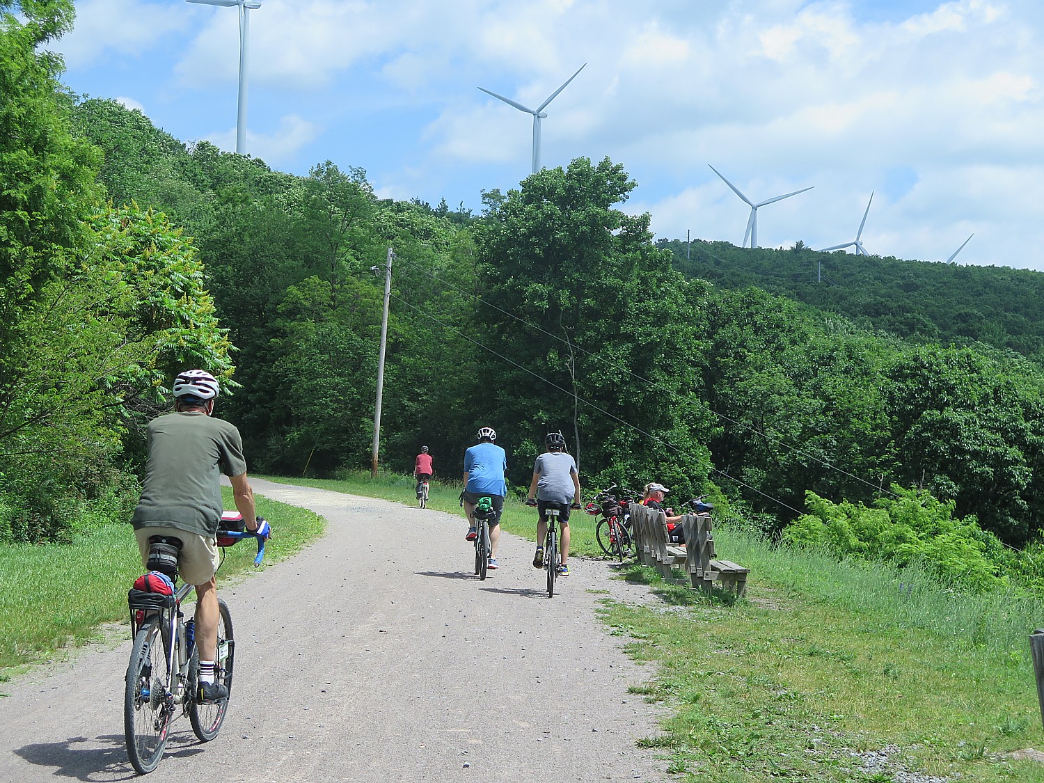
Also, the ending of the trip takes us back toward Pittsburgh (actually Coraopolis, PA) on the Montour Trail, which, like the Great Allegheny Passage – both award-winning trails – and a superb example of how obsolete rail lines (or canalways, or right-of-ways alongside active rail lines) can be turned into multi-use recreational trails. These linear parks, if you will, not only provide wellness and outdoor activities for families to do together, but also revitalize towns and villages whose economies have been upended by shuttered factories and mines, towns and villages that for so long had been defined by the railroads, the steel mills, the coal mines. Along the way, I will capture images of the cyclists on the rail trail cutting into hillsides topped with wind turbines above the Pennsylvania towns founded on oil, coal and gas. The rail-trails provide a new lease on life, as it were, and we realize it as the chambers of commerce, tourist bureaus, volunteer firefighters, Rotary and Lions Clubs go out of their way to greet us.

RTC bikers on the Great Allegheny Trail pass by wind turbines on the Pennsylvania hilltops © 2017 Karen Rubin/goingplacesfarandnear.com

And so we are welcomed at Meyersdale, our first night’s destination, where the railroad station along the Great Allegheny Passage has been turned into a delightful historical society display, refreshment stand and shop, by representatives of local chamber; a special Sunday evening service at the church features a prayer for all the Sojourners to have a safe ride, dinner at the fire department and breakfast at what used to be the town’s high school. This is a town that once supported six hotels, a bank, a high school and elementary school – today, all but the bank (built in 1904) are shuttered. And while the GAP goes over one railroad line that has been turned into the railtrail, there is still an active railroad line that goes right through the middle of town.
Walking about after our dinner, there is this eerie quiet and stillness – a sense of being in a movie set, rather than a town, or a scene in Twilight Zone (granted, it is Sunday and Fathers’ Day at that). I pass a barber shop and peer in: there is a crumbled newspaper, brown and deteriorating with age; the leather barber chairs are cracked; the shop seems to have been left alone for decades- I take note of a Sheriff’s notice on the door handle. I pass a porch with a Confederate flag and “Don’t tread on me” banner.

Meyersdale shows its pride © 2017 Karen Rubin/ goingplacesfarandnear.com

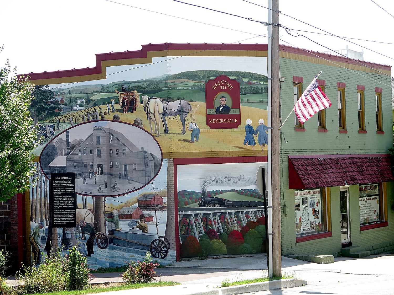
Meyersdale is a very proud community – it showcases its history on markers, on magnificent painted murals that fill entire sides of buildings, even on the placemats that picture the town’s history and attractions which are laid out for our breakfast that features Meyersdale’s famous maple syrup (who knew this was the capital of maple syrup making?).
The towns we get to visit are absolutely wonderful – quite literally, Smalltown America -and the contrast with seeing nothing but trees, rocks and river along the trail is stimulating and intriguing.

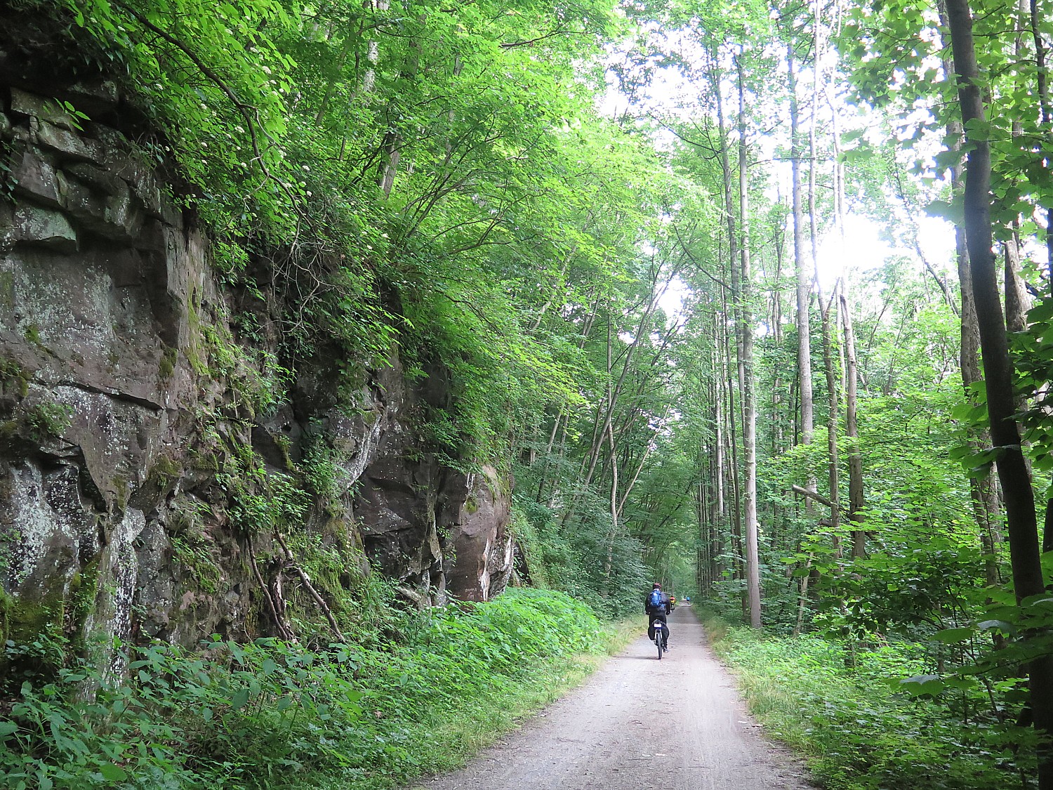
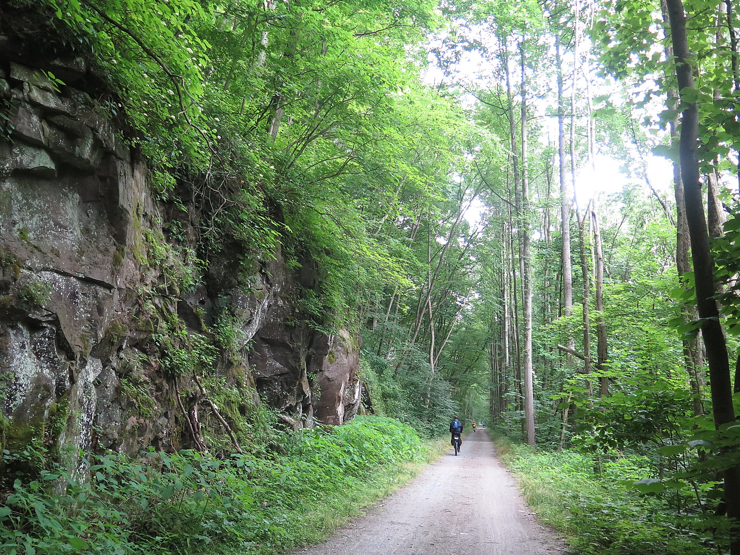
You are deep in the forest – for much of the way, riding alongside a river or creek on one side, and outcroppings of rocks on the other, riding through a literal “tree tunnel” that envelopes you. Occasionally we ride by a farm, but most of the time, the solitude is just stunning – the kind of serenity you feel when you are hiking. The only sound is the wind you create by riding, the crunching sound of the bike wheels on the hard-packed gravel, and birds. Many, many birds. Occasionally we pass by a small waterfall. It is surprising with so much land all around we don’t see that many animals, though on one day, we come upon several deer on the trail; chipmunks who scurry across the path (amazing how they time their dash), making a huge leap into the bushes just as I am about to reach them. The quiet is occasionally broken by a train whistle and the chugging as they haul something like 8000 tons of coal on tracks on the opposite riverbank.

The serenity of biking on the Great Allegheny Passage © 2017 Karen Rubin/goingplacesfarandnear.com

If you are a writer or poet, this is better to get creative juices flowing than holing up in isolated cabin – your imagination and your thoughts dance in your head as you ride, nurtured by the rhythms and the endorphins. If you are an artist, you will be inspired by the scenes that stream by.

At one point, I think to myself, “We are like nomads, like pioneers, steadily picking up stakes and moving on, each time setting up a new community.”

The trail also has some wonderfully thrilling  and dramatic features – it is tremendous fun (exciting too) going through these old rail tunnels, over viaducts and steel bridges – that have been built for the trains, but now rebuilt and repurposed, largely because of the efforts of local communities and volunteers, for bikes.
Riding through the Pinkerton Tunnel on the Great Allegheny Passage © 2017 Karen Rubin/goingplacesfarandnear.com

We ride at our own pace – and can go off the trail to explore if we like – and depending upon the length of ride (from about 30 miles to the longest ride, 62 miles with some optional add-ons, averaging 35-40 miles a day), we would have one or two rest stops with snacks and cold water. They offer suggestions for lunch or ice cream or attractions we might want to explore, like Rockwood’s Opera House (our cue sheets offer great detail). And in many cases, people from the town set up to welcome us.

This is clear from the first day, when we have the option of either riding a mere 8 miles to the first night’s campsite, just 8 miles to Meyersdale, or add four miles out and back to explore several iconic sites, including the Eastern Continental Divide, the Big Savage Tunnel, the Big Savage Overlook and the Mason-Dixon Line monument.

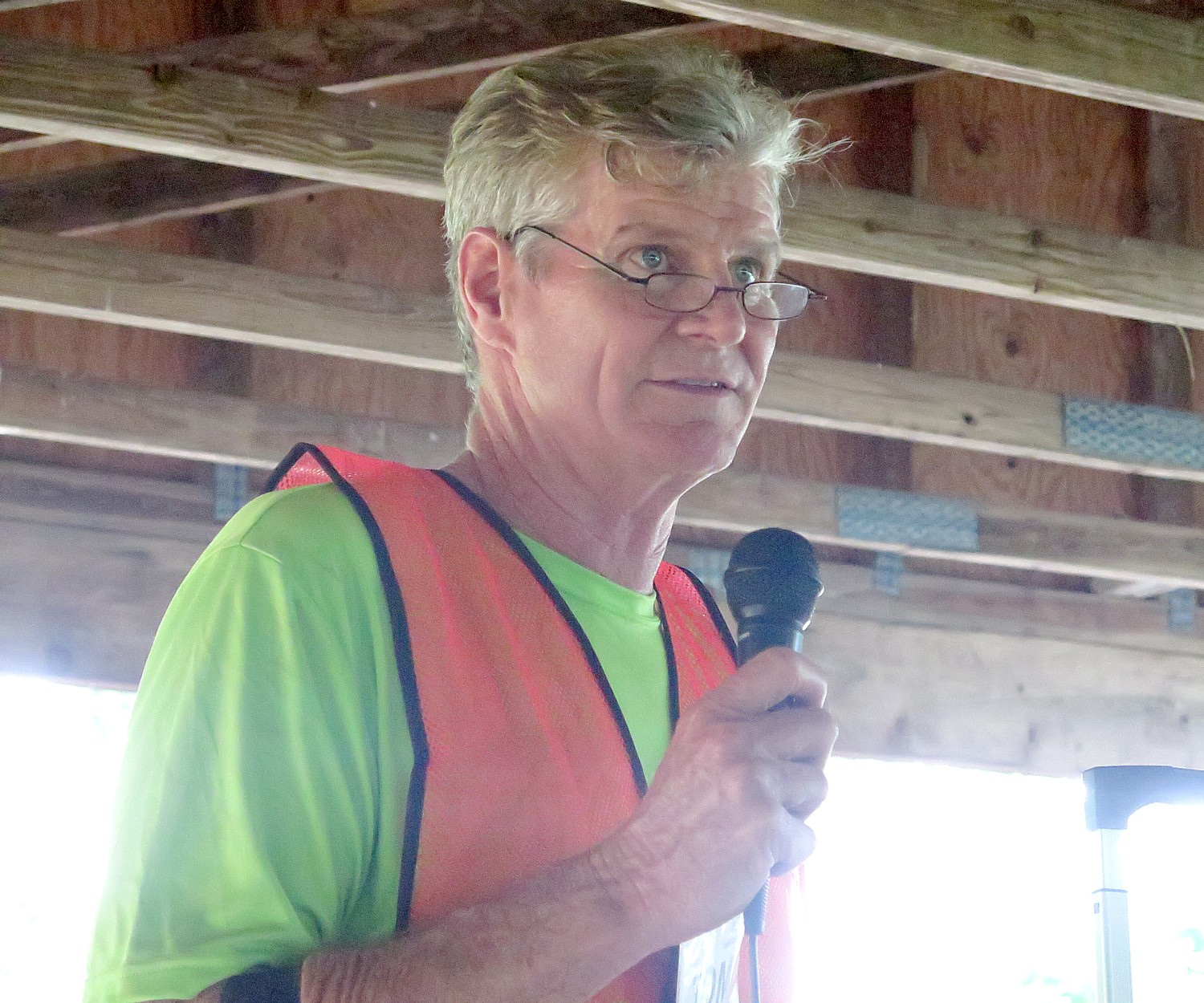
At that night’s dinner, held in the Meyersdale Fire House, the trip leader, Tom Sexton, Director of the Northeast Regional Office of the Rails-to-Trails Conservancy. Who is leading the Sojourn, talks about the mission of Rails-to-Trails Conservancy, and our role as Sojourners.

Rails-to-Trails Conservancy (RTC) has played a key advocacy role to promote the creation and use of these repurposed trails. RTC has been a partner, providing technical assistance – such as negotiating with railroads, advising localities on visioning and feasibility studies as well as construction, and coordination with nonprofits and volunteer efforts, such as the Montour Trail Council that has been so active in building and improving the trail we will take.

A current project underway will link trails in four states, New York, Pennsylvania, Ohio, West Virginia, creating an Industrial Heartland Trail Network. (New York State, which has the Erie Canalway that extends from Buffalo to Albany, is creating the Empire State Trail, finishing 350-miles of new trails that would complete the Eric Canalway and the Hudson River Valley Greenway, and connecting them to form a 750-mile pathway, the longest in the nation, from New York Harbor, through the Adirondack Mountains, to the Canadian border, and from Lake Erie to Albany.

Rails-to-Trails Conservancy promotes the use of rail-trails – there are some 23,000 miles of rail-trails- and its TrailLink.com website helps you locate them.

RTC is also an advocacy group lobbying Congress and the administration, which will be important coming up, because Trump’s proposed budget would eliminate the earmarks for rail-trails.

RTC’s Tom Sexton: federal funding for rail-to-trail projects like the Great Allegheny Passage and Montour Trail are in jeopardy © 2017 Karen Rubin /goingplacesfarandnear.com

As Sexton explains, since 1991, the major funding for these rail-to-trail projects has come from the federal government, with matching funds from states and localities. The Highway Bill had typically included mass transit and railroad funding but beginning in 1991, also earmarked funding for 10 categories, including rail-trails, given as grants to states to use for acquisition, planning and construction.

But that is under threat by the new administration:

“The president’s budget proposal eliminates all funding for the wildly popular TIGER program, which is bad news for trails and active transportation,” RTC states. “Without TIGER, trails could miss out on hundreds of millions in funding. Since the program began in 2009, TIGER has provided nearly $340 million in funding for active transportation projects and trail networks like the Circuit Trails in PhiladelphiaCleveland Metroparks and the Atlanta BeltLine. What’s more, using the American Association of State Highway Transportation Officials’ methodology to calculate jobs per mile of trail built, we project that TIGER investments in active transportation have generated thousands of jobs.

“TIGER is much more than a program that supports trails; it funds all transportation modes and is unique in that it encourages cross-jurisdictional and multimodal cooperation, breaking down traditional bureaucratic silos and looking at balanced transportation systems as a whole. This makes the program intentional, focused and efficient in the projects it selects—and effective in achieving outcomes after construction.

“The U.S. Department of Transportation has thus far awarded TIGER funding to diverse projects including roads and bridges, ports, railways, transit, freight operations and, of course, trails and other walking and biking infrastructure. However, the new president and transportation secretary will set their own funding priorities….

“The budget also calls for an end to general fund infusions to the Highway Trust Fund, eliminating $95 billion in expected transportation spending over the same 10 years, raising further doubts about the extent to which infrastructure investment would increase if the president’s budget proposal were to pass.”

Map of our 2017 Rails-to-Trails Conservancy Sojourn ride on the Great Allegheny Passage and Montour Trail © 2017 Karen Rubin/ goingplacesfarandnear.com

Indeed, we Sojourners are ambassadors and advocates and increasingly now, also activists.

“Everyone here is an ambassador,” says Brandi Horton, RTC’s VP of Communications. “We show the towns, the communities, city and town and state governments just how important rail trails are to building community, generating economic development, building tourism and getting people out together.”

Tips for advocating include bringing a friend out with you on the trail, use social media, lobby state and federal legislators to make sure trails are included in infrastructure funding; let your Congressmember know you use the trails, send a photo.

RTC has also its “take action” section of the website, where you can plug in your zipcode, find your official and send a note.

“Be a spokesperson, do community outreach. If you want to get a trail in your community, you need your voice heard not just at the federal, state and regional level, but at the local level.”

Rails-to-Trails Conservancy, Washington, DC 20037, 202-974-5150, Railstotrails.orgTrailLink.com.

See next:

Rails-to-Trails Conservancy’s Sojourn Biketour on Great Allegheny Passage Showcases Forgotten Towns

Pascal Glass Sculpture with Trump Connection is Boon for Dunbar, Pennsylvania

 ____________________

© 2017 Travel Features Syndicate, a division of Workstyles, Inc. All rights reserved. Visit goingplacesfarandnear.com,  www.huffingtonpost.com/author/karen-rubin , and travelwritersmagazine.com/TravelFeaturesSyndicate/. Blogging at goingplacesnearandfar.wordpress.com and moralcompasstravel.info. Send comments or questions to [email protected]. Tweet @TravelFeatures. ‘Like’ us at facebook.com/NewsPhotoFeatures