By Karen Rubin, Laini Miranda and Dave E. Leiberman, Travel Features Syndicate, goingplacesfarandnear.com
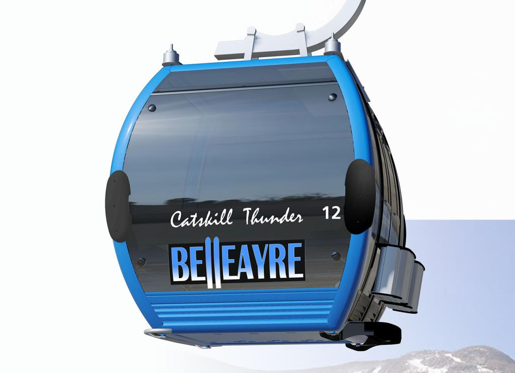
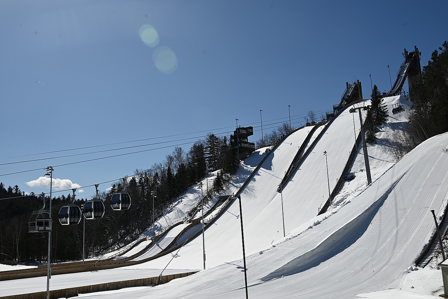
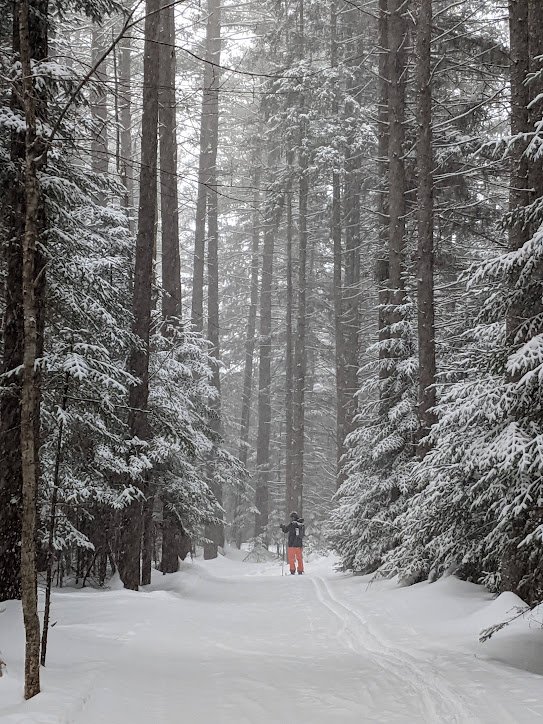
New York State has an embarrassment of riches when it comes to skiing. Besides the world-class Olympic Regional Development Authority ski areas of Whiteface (and all the Olympic sports facilities in Lake Placid), Gore Mountain in the Adirondacks and Belleayre Mountain in the Catskills, there are some 50 other areas throughout the state – more ski areas, in fact, than any other state.
“New York is blessed with having more ski areas than any state in the nation, so residents and visitors are never more than a couple hours away from great skiing,” Empire State Development Vice President and Executive Director of Tourism Ross D. Levi said. “Whether swooshing down world class mountains in the Catskills and Adirondacks operated by Olympic Authority or any of the private ski slopes across the state, guests can conveniently enjoy some of the country’s best skiing in a magical winter wonderland. When paired with other fun experiences from invigorating snow shoeing to family ice skating, relaxing spas, friendly main streets and cozy inns, visitors can come see for themselves how easy it is to love New York in Winter.”
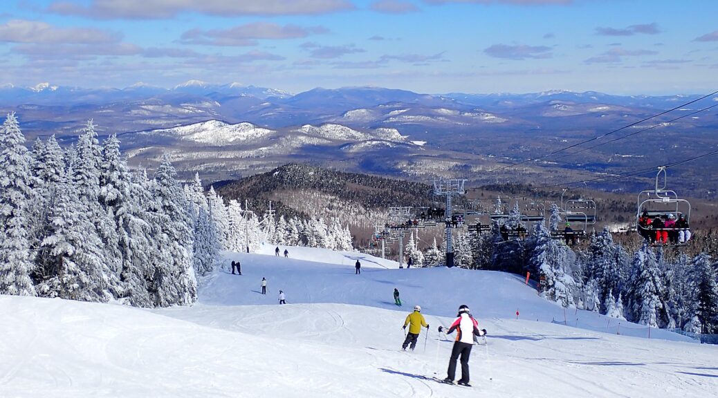
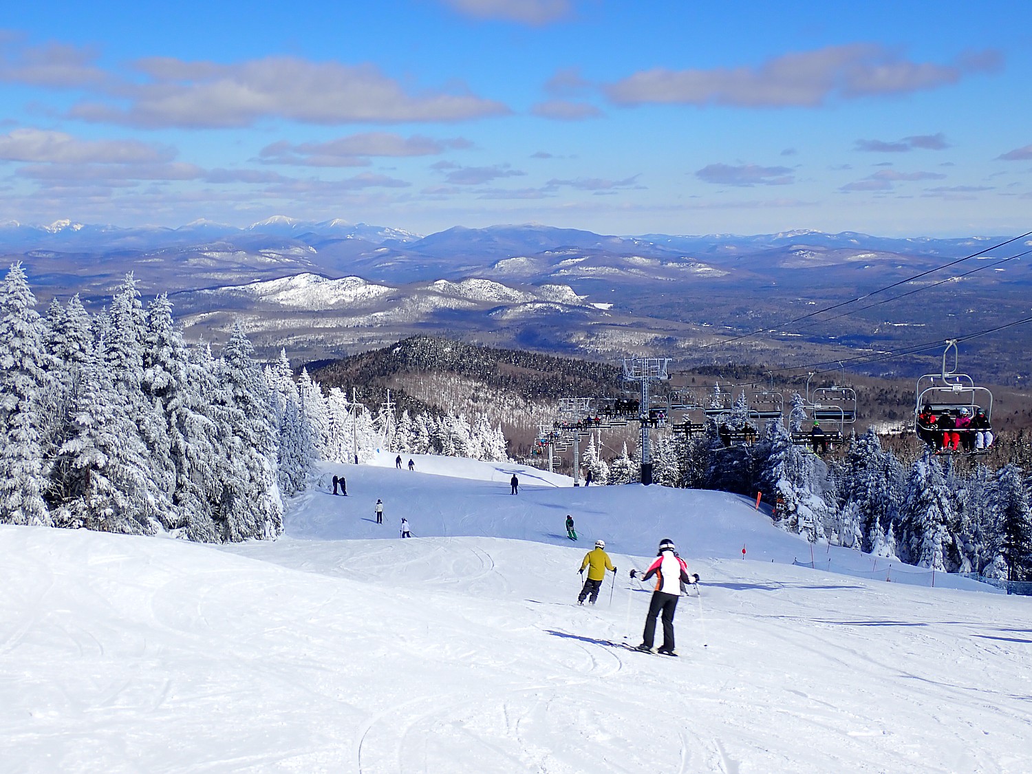
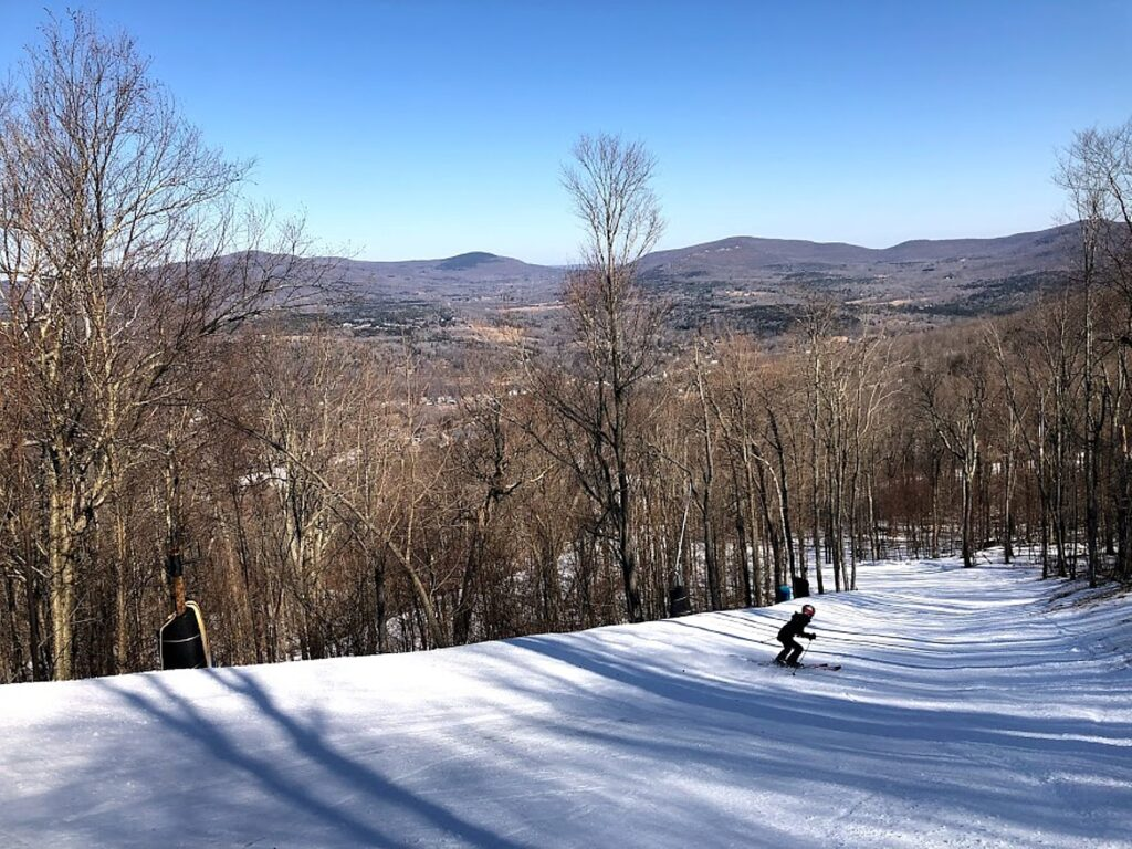
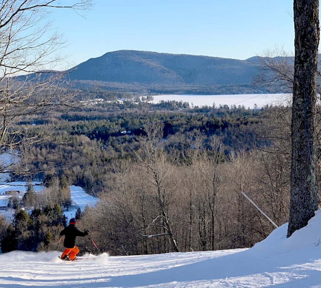
There are ski destinations that are big, incredibly popular and iconic like Hunter Mountain (now part of Vail Resorts and the Epic Pass) and Windham Mountain Club (which offers a membership-style experience), to areas that provide a very intimate, classic experience with great affordability, ideal for families and beginners.
Hunter Mountain Adds Two Lifts
Hunter Mountain, an iconic Catskills ski resort which opened 65 years ago and is now part of Vail Resorts (so one of the Epic Pass resorts), celebrated a major milestone with two new lifts: Broadway Express: a new high-speed, 6-person chair replaced the existing 4-person fixed-grip Broadway Lift and reduces wait times at one of the mountain’s most popular lifts while increasing uphill capacity by 55%; Otis Quad: the existing 4-person fixed-grip Broadway Lift replaced the 2-person fixed-grip E lift, increasing uphill capacity giving more time to learn new skills and explore terrain.
Vail Resorts’ investment also added new state-of-the-art automated snowmaking systems on three classic and beloved trails, Belt Parkway, Clair’s Way, and Way Out, accelerating the resort’s ability to open terrain earlier in the season, disperse skier traffic, provide greater efficiency to rebuild snow bases later in the season and allow for better connection of Hunter North and Hunter West more directly and earlier in the season.
Since opening 65 years ago on January 9, 1960 with the original “B” Lift in operation, Hunter Mountain proved to be an innovator and leader in the ski industry, from being the first ski resort in New York to install snowmaking, to being the first in the world to feature both top-to-bottom, 100 percent snowmaking coverage; and to being the first in the nation to install an automated snowmaking system. As the resort has grown from a family-owned area and evolved over the decades with new lifts and new peaks, and on-mountain lodging, it has emerged as a major ski destination.
Hunter’s has a vertical of 1,600 feet, from a base at 1,600 ft to its summit at 3,200 ft. It offers 320 skiable acres and four terrain parks – 67 trails of which 25% are beginner, 30% are intermediate and 45% are advanced – accessed by 13 lifts. There is also tubing.
Hunter has a commitment to zero net operating footprint by 2030. From snowmaking upgrades to new waste sorting, Hunter is further reducing emissions with energy-efficiency projects. In 2023, the resort reached 100% renewable electricity and decreased waste to landfill by nearly 6.1 million and this season is continuing to better manage waste streams.
Save up to 15% when you bundle lift tickets & lodging.Lodging spans the old-age charm of the Kaatskill Mountain Club & Spa to family-friendly slopeside condos (huntermtn.com, 518-263-4223)
Windham Mountain Club
Windham Mountain Club has reorganized as a membership club (actually returning to its roots) but is still open to the public – all skiers benefiting from minimal lift lines and uncrowded slopes because of the capacity limits on daily lift tickets and season passes. (The reorganized Windham Mountain Club is also continuing its longstanding partnership with the Adaptive Sports Foundation.)
Set amid 1,200 pristine alpine acres (so plenty of room to roam), Windham Mountain Club has continued to add improvements for the 24/25 season following last year’s transformative rebranding and investments, continuing to reimagine the mountain as a world-class, year-round destination and New York’s premier public-private mountain resort and membership club.
This season there are more enhancements to snowmaking including automating two of their trails, “Why Not?” and “What’s Next?” with 47 new snow guns on the “Why Not?” trail and 18 rebuilt and refurbished fan guns on “Warmup”. The resort also upgraded their groomers with SNOWsat LiDAR technology.
Windham has a vertical rise of 1,600 to its summit at 3,100 ft. Its 54 trails and six terrain parks on 285 skiable acres range from 300 to 12,500 feet long, accessed by 11 lifts including a high-speed six-passenger, 3 high-speed quads, 1 triple, 1 double, 5 surface (97% snowmaking). But the best thing about Windham is that you really feel like it is a private club (which is how Windham began).
Windham Mountain Club members-only benefits include: use of a state-of-the-art fitness center and a Spa and Wellness facility; a dedicated adventure concierge for personalized outdoor experiences, including year-round guided hikes and memorable summer activities such as guided horseback riding, fly fishing, and a clay shooting range are available for members; and members-only dining options such as “Cin Cin!” which is an Italian Alps-inspired mid-mountain restaurant, and the Windham Grill.
Book a two-night stay at the Winwood Inn and receive a complimentary third night. Accommodations at the Winwood Inn and Condos also include access to reduced ticket rates, every day of the season (www.windhammountainclub.com/ski-and-stay-package, windhammountainclub.com)
More Catskills Gems
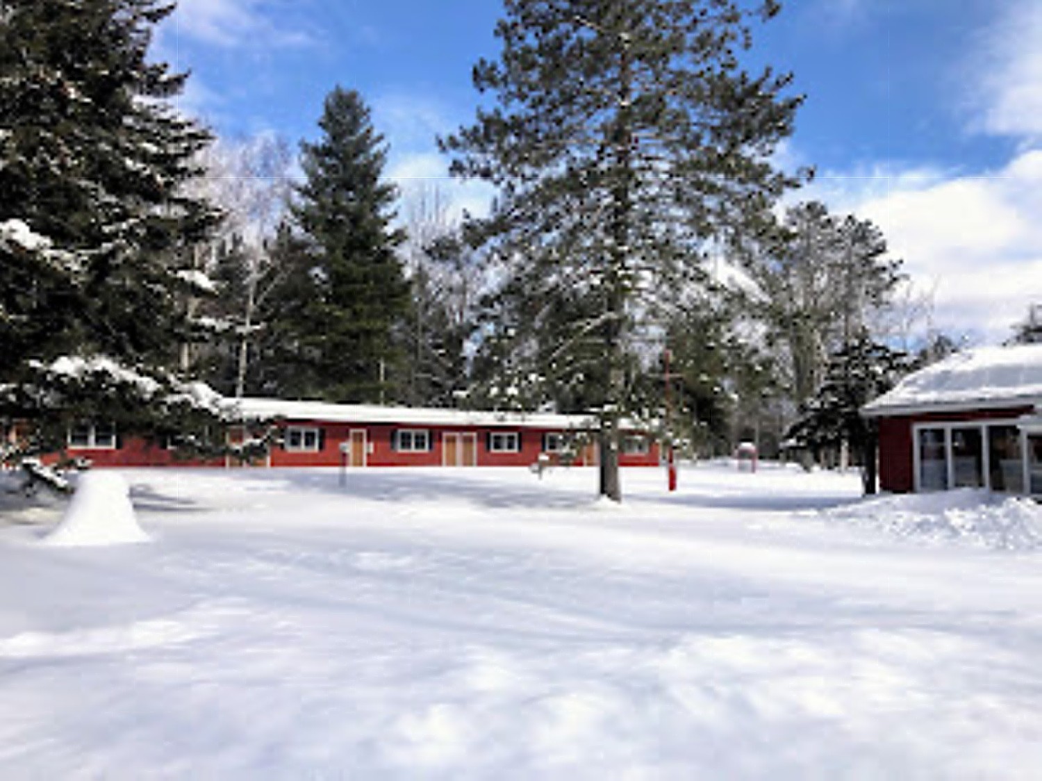
Thunder Ridge Ski Area, Patterson, is really geared for families – from the ease of access, ease of reserving lift tickets, rentals, lessons (book online, since walk-ins are only accommodated if the mountain has not reached capacity), serious snowmaking and night skiing. ThunderRidge offers private lessons from age 4, family private lessons, group lessons, Mommy/Daddy & Me, and race teams. Open Monday-Friday, 10 am -9 pm, Saturday, 9-9 pm, Sunday 9 am to 5 pm. just 60 minutes from NYC, you can even take Metro North (so hop on after work) and take advantage of free shuttle service to and from the Patterson train station, (137 Birch Hill Rd & Rte 22, Patterson, 845-878-4100, ThunderRidgeski.com)
West Mountain, Queensbury: An ski and outdoor activities year-round community with a family-friendly atmosphere (“True to our roots since 1961!”), West Mountain offers an authentic upstate experience on the mountain. Nestled at the foot of the Adirondack , it is conveniently located off I-87. Family-owned and operated, West Mountain continues to evolve to meet the needs of families as well as skiing and riding loyalists and year-round outdoor enthusiasts. (westmountain.com)
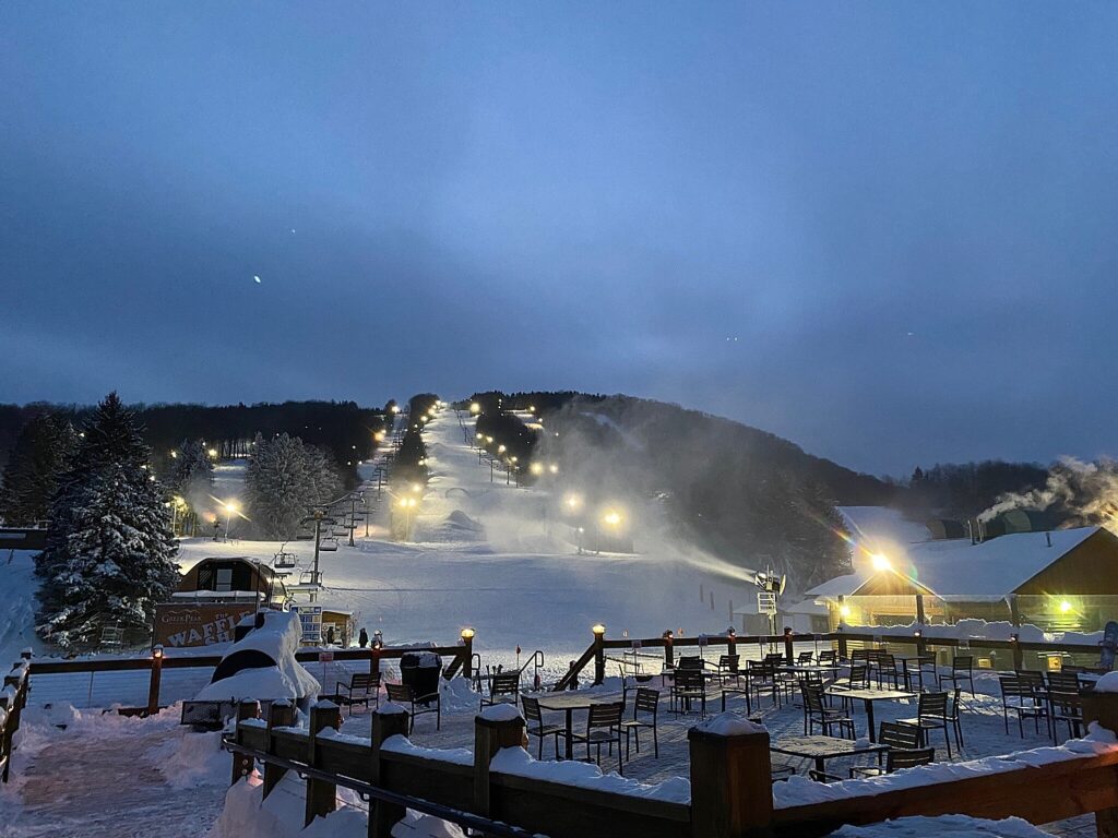
Greek Peak Mountain Resort, Cortland, celebrating its 65th anniversary in 2024, has invested $1 million in ski area improvements including new snowmaking equipment that enables the resort to cover the equivalent of 16.5 football fields with a foot of snow in a 24-hour period. They also upgraded the Chair 1 lift, trail lighting, and purchased new rental equipment. This season, Greek Peak made lift improvements and widened the Castor Connection trail for safer merging. The ski area installed new hand ticket scanners to complement its online purchasing portal (it is now cashless resort), so you can just head straight to the lift when arriving (greekpeak.net)
Holiday Mountain, Monticello. New owners have invested millions of dollars in renovations and upgrades including expanding snowmaking to trails that had not had snowmaking before, re-opening dormant trails, renovating and upgrading their chairlifts as well as updating the base lodge. This year, Holiday Mountain is benefitting from $5MM in improvements and upgrades: 3 new trails (one, Hackledam, is now the steepest in the Catskills) and a new race trail with Giant Slalom races and timing; updated learning center for “terrain-based learning;” and a newly rebuilt quad chair 2,700 feet long. They installed lights on the three new trails and replaced other lights to expand night skiing. They have also greatly enhanced the snow experience with improved snowmaking and grooming. They also installed thrree miles of fiberoptic cable, electrical upgrades and improved parking areas. (skiholidaymtn.com)
Plattekill Mountain opened a new intermediate new trail, “Whiskeys Way,” for a total of 41 ski trails. Snowmaking and grooming are improved with 13 new snowguns, 3,500 feet of new snowmaking pipe and a new winch cat for snow grooming. Plattekill has partnered with 37 mountains for free and discounted tickets with the purchase of Plattekill Mountain season pass which also includes “Platty Perks” for discounts at local businesses. Their season pass includes new “Buddy Passes” for passholders to bring a friend on non-holiday Friday and Sunday for 50% off the friend’s ticket. Plattekill also installed new electric vehicle charging stations. (plattekill.com)
Adirondacks’ Uncrowded, Affordable Hidden Gems
One of the best-kept secrets in upstate New York is that the Adirondack Mountains have a handful of hidden gem ski resorts ideal for novice to expert skiers, including two ski areas that offer free skiing.
Oak Mountain, Speculator: This quaint ski area – popular with families since 1948 though a new discovery for us – offers 22 trails (snowmaking on 40%; longest run is 7,920 ft.), a 650-foot vertical from base (1,750 feet) to summit (2,400 feet), and four lifts (quad, two T-bars and a surface lift). Lift tickets to Oak Mountain are very reasonable. Full-day tickets are $44, four-hour tickets are $37, and two-hour tickets are only $30. (Capacity is limited, and lift tickets, rentals and lessons must be booked in advance online.) In addition to downhill skiing and snowboarding, Oak features four lanes of snow tubing and miles of snowshoeing trails that take you through a majestic forest. Oak Mountain is a three-season resort (518-548-3606, www.oakmountainski.com)
Among the nearby lodges is Lorca ADK, recently renovated from a historic motel to accommodate stays year-round. Lorca ADK is a classic drive-in lodge, reimagined as a self-check property for the contemporary traveler. It’s surrounded by forests, across the road from Indian Lake (a marina is right there) with gorgeous islands. The eight units provide coffee, tea, mini-fridges, s’mores and firewood. The property offers grills, fire pits, lawn games, and nature walk. Lorca ADK is about 20 minutes from Oak Mountain, and about 30 minutes from Gore Mountain Resort. (Lorca ADK, Sabael, NY, 518-300-3916, hello@thelorca.com, thelorca.com/adk)
McCauley Mountain, Old Forge: A charming resort near the Adirondack wilderness. Get a great night’s sleep at the Adirondack Lodge Old Forge, stop by Keyes’ Pancake House for breakfast and Tony Harper’s Pizza and Clam Shack for lunch/dinner. (mccauleyny.com)
Mt. Pisgah Recreation Center. Saranac Lake: A welcoming community ski hill with night skiing and tubing, with half-day weekend ski passes available for $15. Kick off your boots at Traverse Lodge or Hotel Saranac, and enjoy dinner at nearby Bitters & Bones. (https://www.saranaclakeny.gov/)
Titus Mountain (Malone): A family-friendly ski gem a short drive from Plattsburgh, Lake Placid, Watertown and Northern Vermont, with terrain for all levels. Check out the rustic cabins at Deer Valley Trails (and stay for dinner) and stop by The Pines Tap & Table for evening revelry. (www.titusmountain.com)
McCauley Mountain, Oak Mountain and Titus Mountain participate in the “SKI NY Passport Program”, which offers free skiing for third and fourth graders (from any state or country) with an adult purchase.
And for Nordic skiing, there is the incomparable Lapland Lake Cross Country and Vacation Center, which has installed snowmaking on its magnificent cross-country trails through a forest of tall pine trees to a lake. It offers a cozy lodge and cabins for four-season outdoors adventure. (139 Lapland Lake Road Northville, NY 12134-3962, 518- 863.4974, www.laplandlake.com)
Ski Free at Two Bonus Ski Areas
In addition to the large and medium-sized ski resorts in the Adirondacks, there are two additional ski areas that offer free skiing – a rare treat for newbie and experienced skiers, alike.
Newcomb Ski Slope is an ultra-local and community-owned ski hill that offers free skiing. For the last 50 years, the Town of Newcomb has owned and operated this two-run ski slope, where generations have learned to ski. The hill also boasts a trail through the adjacent woods along its 200 vertical feet. At this low-elevation summit, skiers are treated to a view of the snowy High Peaks. (www.newcomb7.bar-z.com)

Indian Lake Ski Hill (https://indianlakeadk.com/) also offers free skiing, with the local feel and charm of a community-owned establishment. The recreation area comprises a small hill, two ski trails, a t-bar lift and even ice skating. It is just down the road from Lorca Adirondacks at Indian Lake (Lorca ADK, Sabael, NY, 518-300-3916, hello@thelorca.com, thelorca.com/adk).
The SKI NY Free for Kids Passport Program for 3,, 4, and 5th graders enables kids to ski free up to 2 times at each of the 25 participating ski areas when an adult purchases a lift ticket. ($45 application fee.) Details and application at iskiny.com.
New York State’s mountain destinations generate $1.3 billion and support 13,000 full and part-time jobs, generating $432 million in labor income, according to the Ski Areas of New York Economic Impact Analysis. The ski industry is a significant part of New York’s $137 billion winter tourism industry, driving economic growth in their communities.
Ski Areas of New York, Inc. is dedicated to the New York snow sports industry. ISKINY online at www.iskiny.com is a hub for snow reports, openings, news and program information for ski mountains throughout New York State, including a map.
Best thing about skiing in New York State: you can decide on the spur and be on the slopes within three hours.
See also:
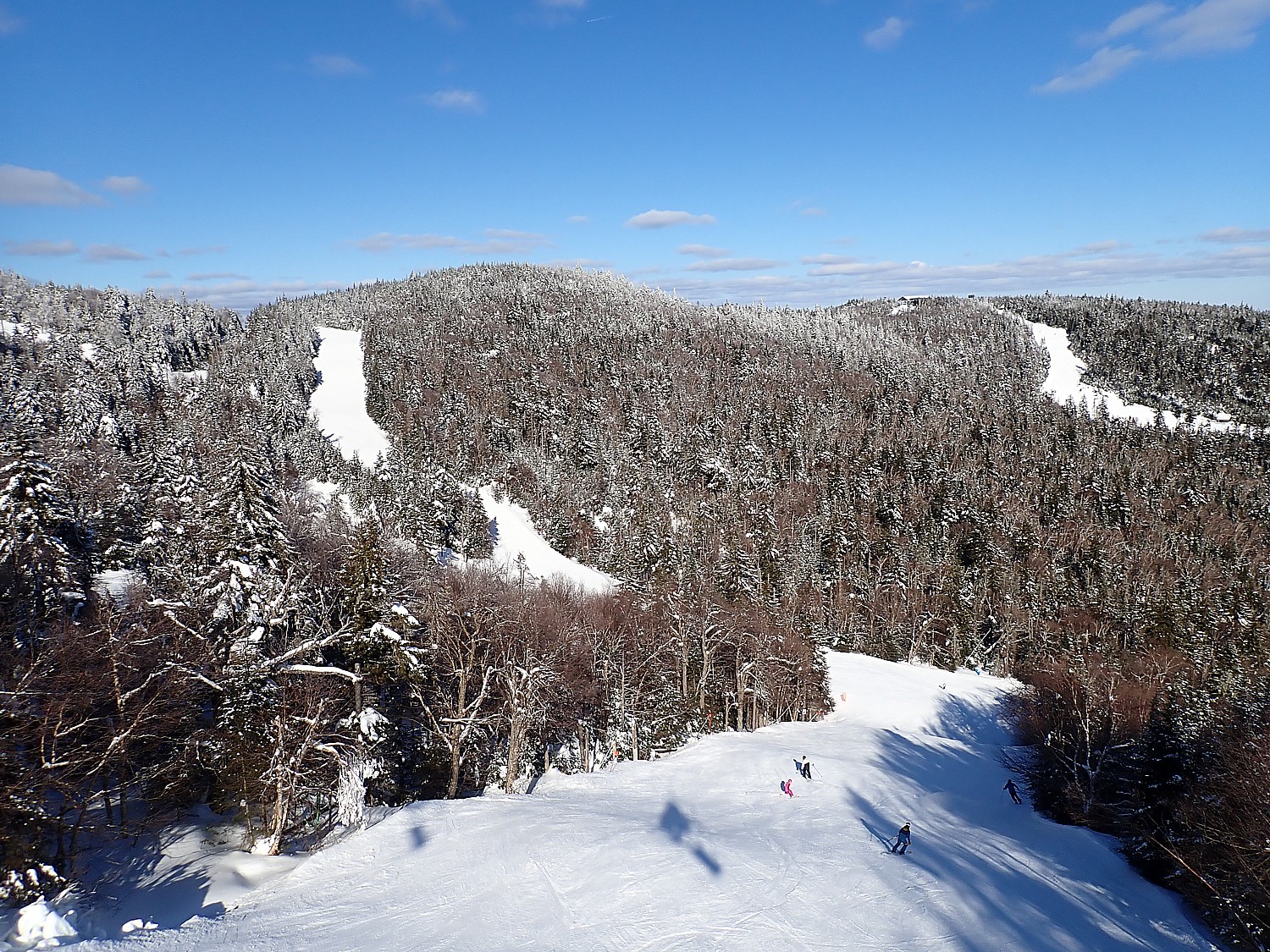
A BLUEBIRD DAY OF SPRING SKIING AT WINDHAM MOUNTAIN
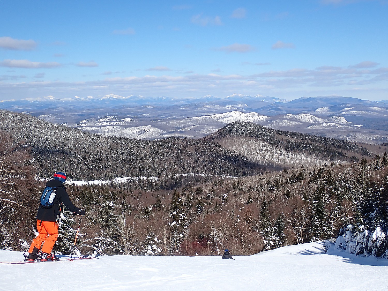
WHAT A DISCOVERY! SKIING OAK MOUNTAIN IN NEW YORK’S ADIRONDACKS
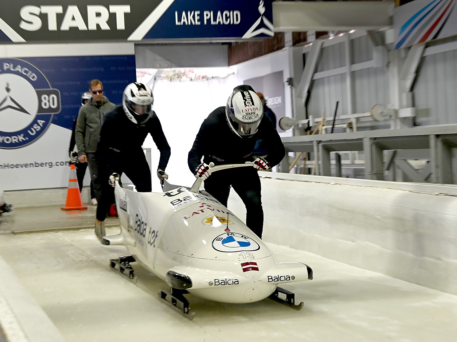
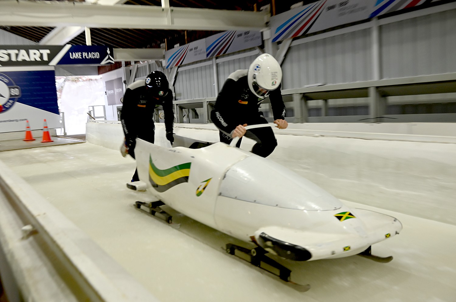
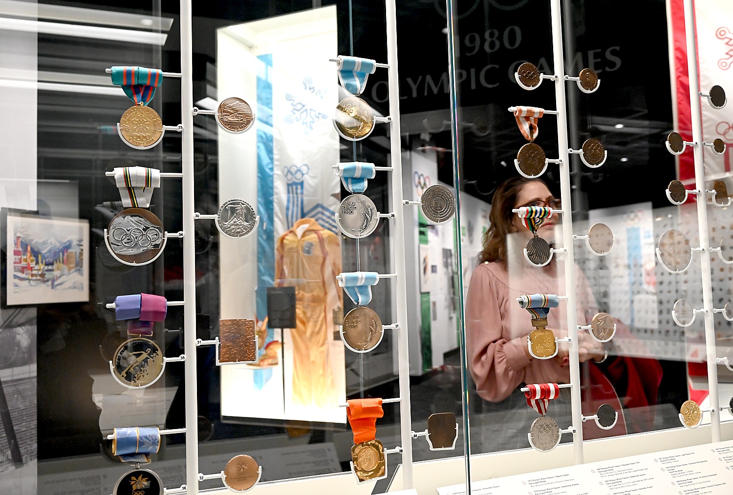
LAKE PLACID, WHERE YOU CAN BE IMMERSED IN OLYMPIC SPORT, SPIRIT YEAR-ROUND
NEW YORK STATE’S OLYMPIC AUTHORITY SKI MOUNTAINS OPEN FOR SEASON
____________________________
© 2024 Travel Features Syndicate, a division of Workstyles, Inc. All rights reserved. Visit goingplacesfarandnear.com and travelwritersmagazine.com/TravelFeaturesSyndicate/. Blogging at goingplacesnearandfar.wordpress.com and moralcompasstravel.info. Visit instagram.com/going_places_far_and_near and instagram.com/bigbackpacktraveler/ Send comments or questions to FamTravLtr@aol.com. Tweet @TravelFeatures. ‘Like’ us at facebook.com/NewsPhotoFeatures