by Karen Rubin, Travel Features Syndicate, goingplacesfarandnear.com
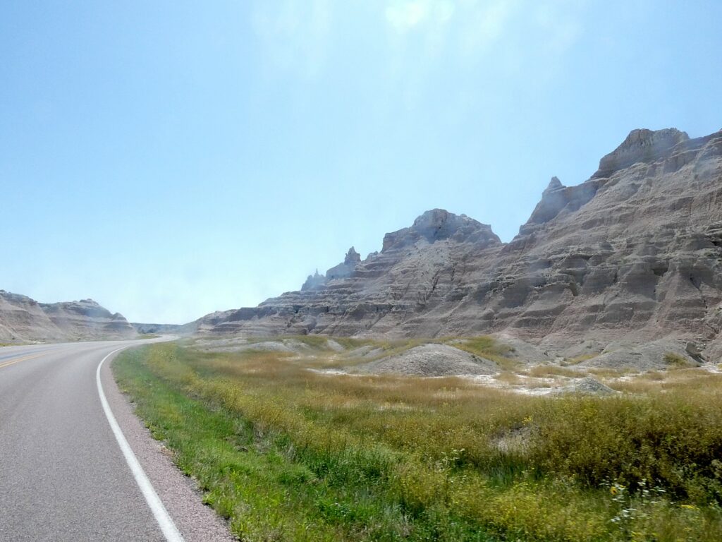
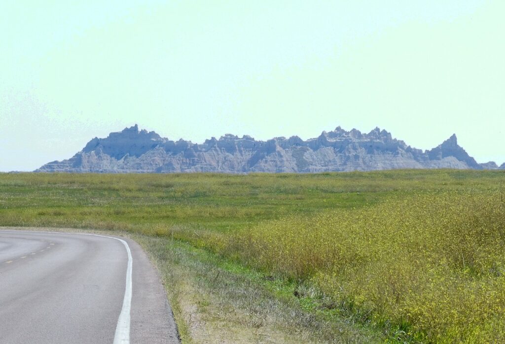
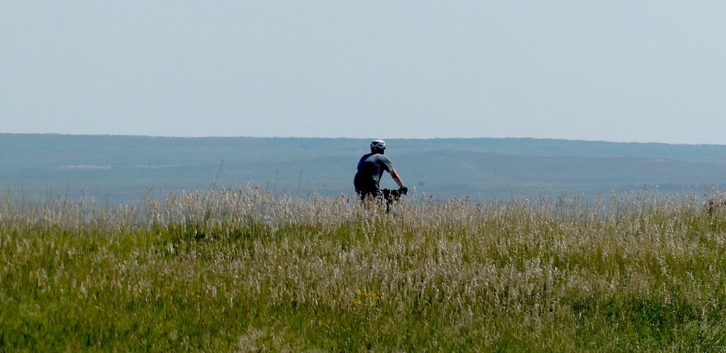
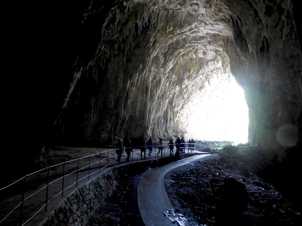
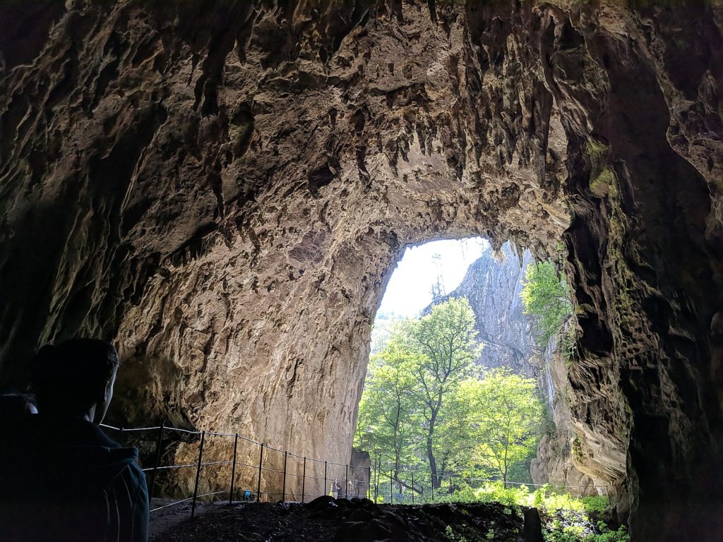
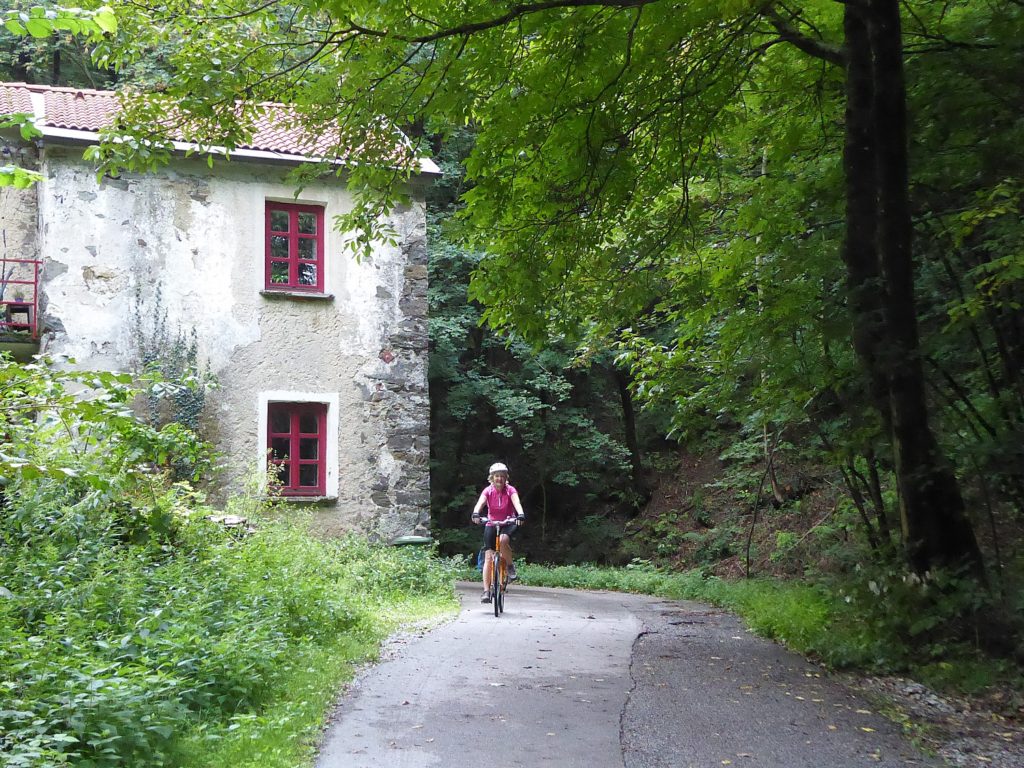
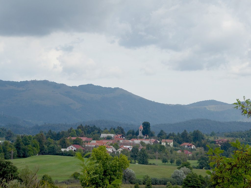
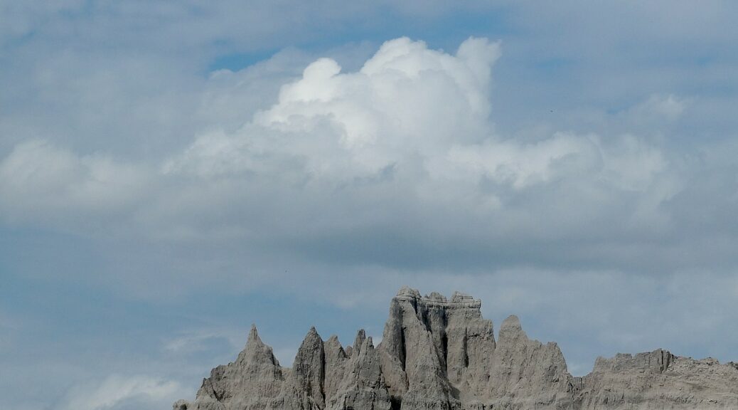
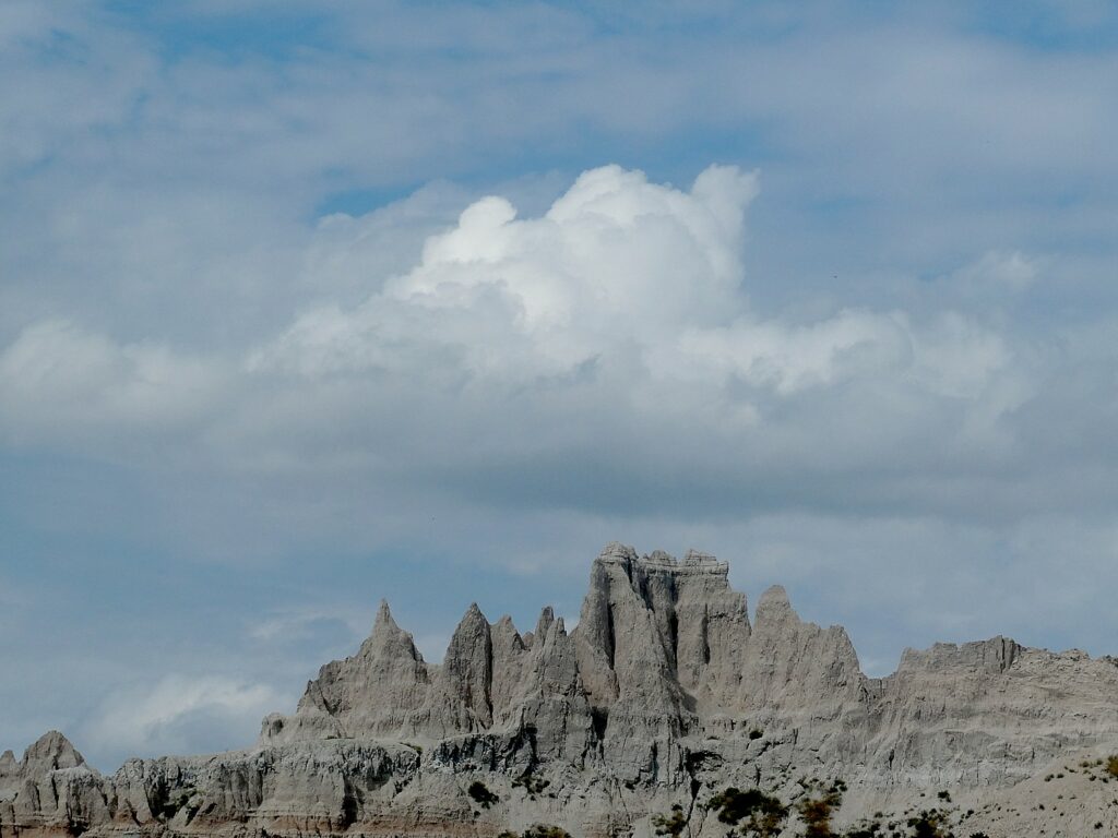
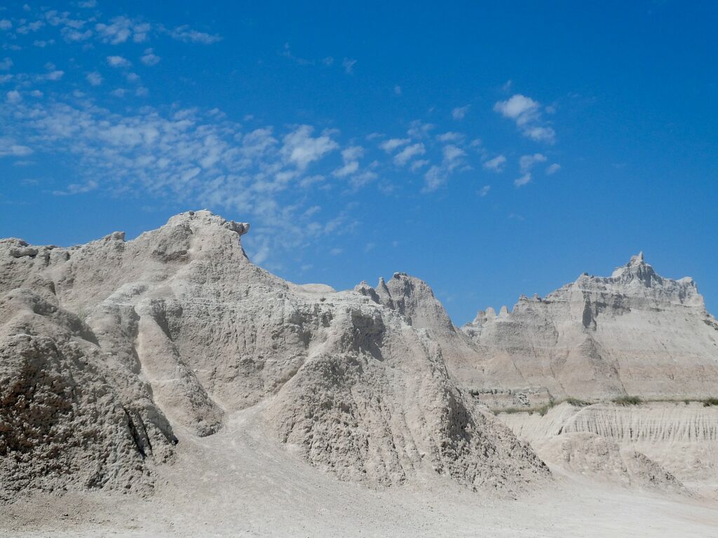
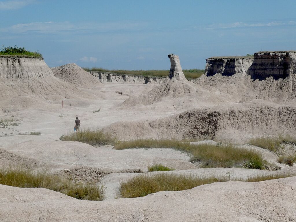
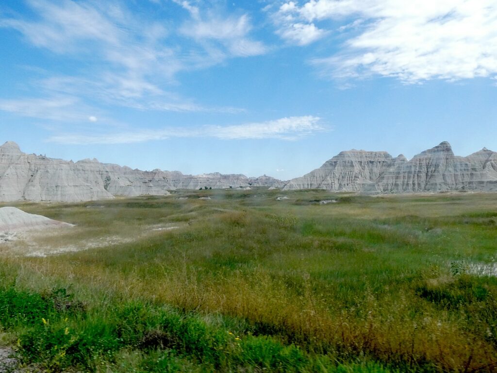
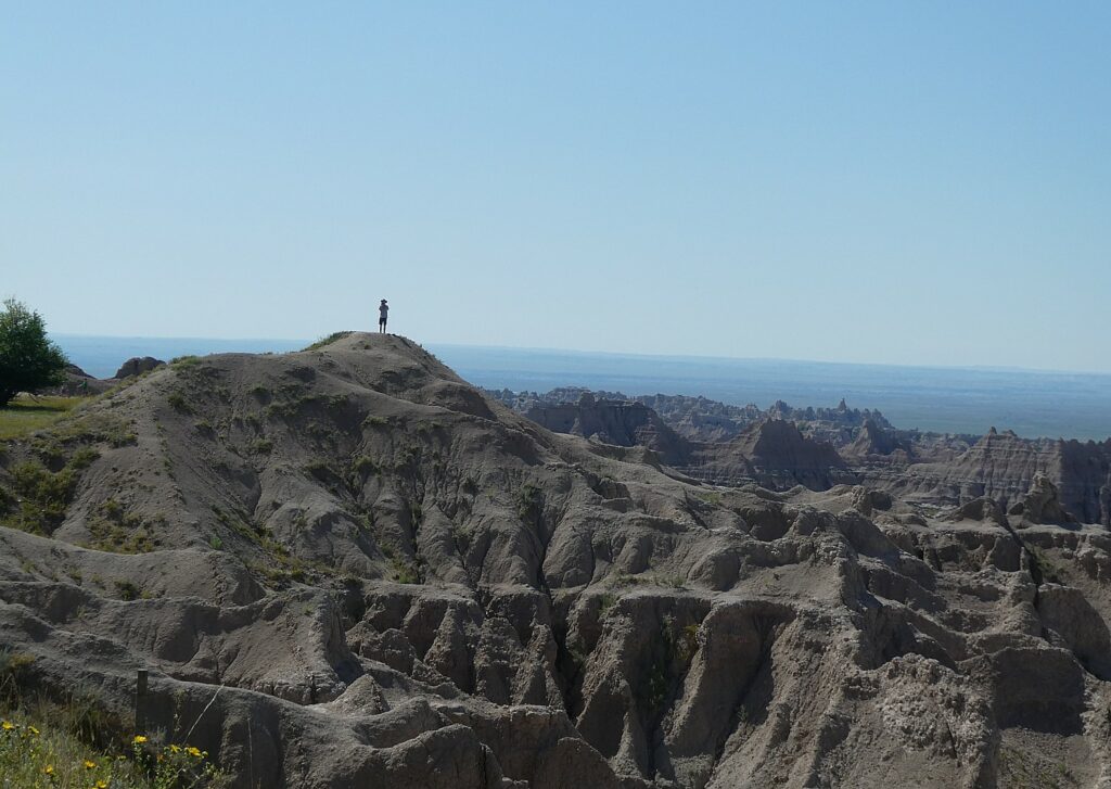
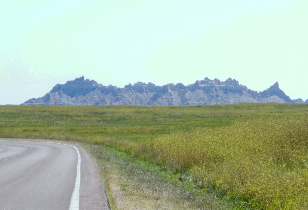
My first look at Badlands National Park is not anything I expected or visualized. The Pinnacles entrance to the national park, where the Wilderness Voyageurs guides have taken us for our first ride of the six-day “Badlands and Black Hills” bike tour of South Dakota, is aptly named for the spires that form this otherworldly landscape.
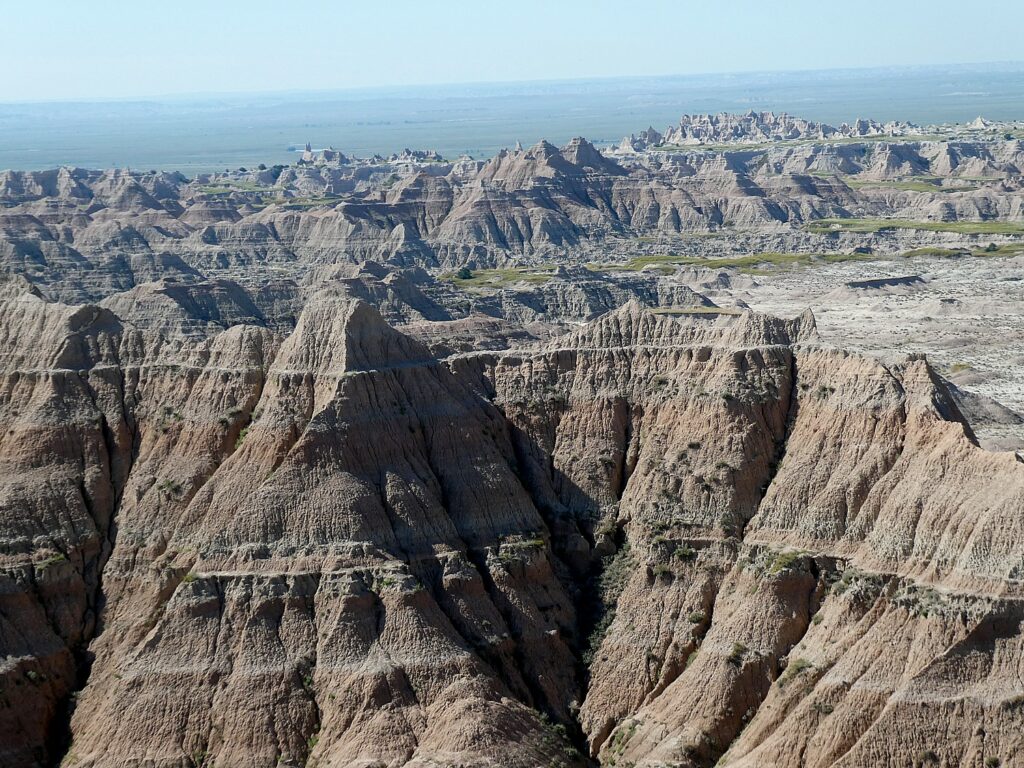
Badlands National Park is 244,000 acres of sharply eroded buttes, pinnacles and spires and the largest, protected mixed grass prairie in the United States. The Badlands Wilderness Area covers 64,000 acres, where they are reintroducing the black-footed ferret, the most endangered land mammal in North America. Just beyond is The Stronghold Unit, co-managed with the Oglala Sioux Tribe where there are sites of the 1890s Ghost Dances. But as I soon learn, Badlands National Park contains the world’s richest Oligocene epoch fossil beds, dating 23 to 35 million years old, a period between dinosaurs and hominids.
The name “Badlands” was intentional, for the earliest inhabitants and settlers found the extremes of climate and landscape extremely harsh. The American Lakota called this place “mako sica,” or “land bad” and early French trappers called it “les mauvaises terres a traverser,” both meaning “badlands.” Those very same French trappers would be the first of many Europeans who would, in time, supplant the indigenous people, as they were soon followed by soldiers, miners looking to strike it rich with gold, cattlemen, farmers, and homesteaders recruited from as far away as Europe.
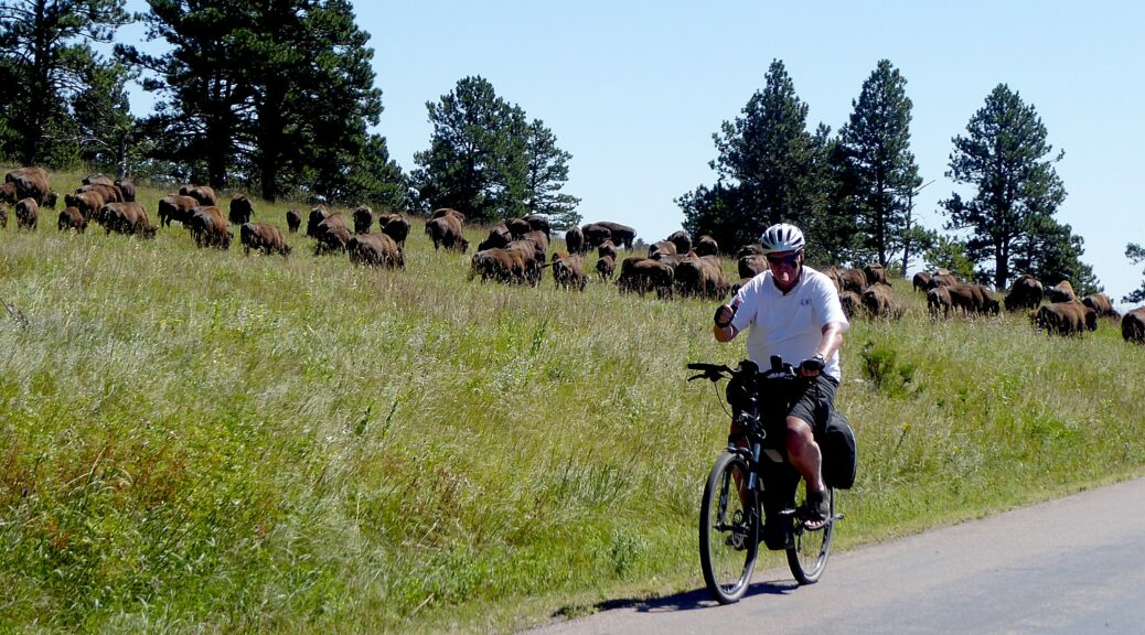
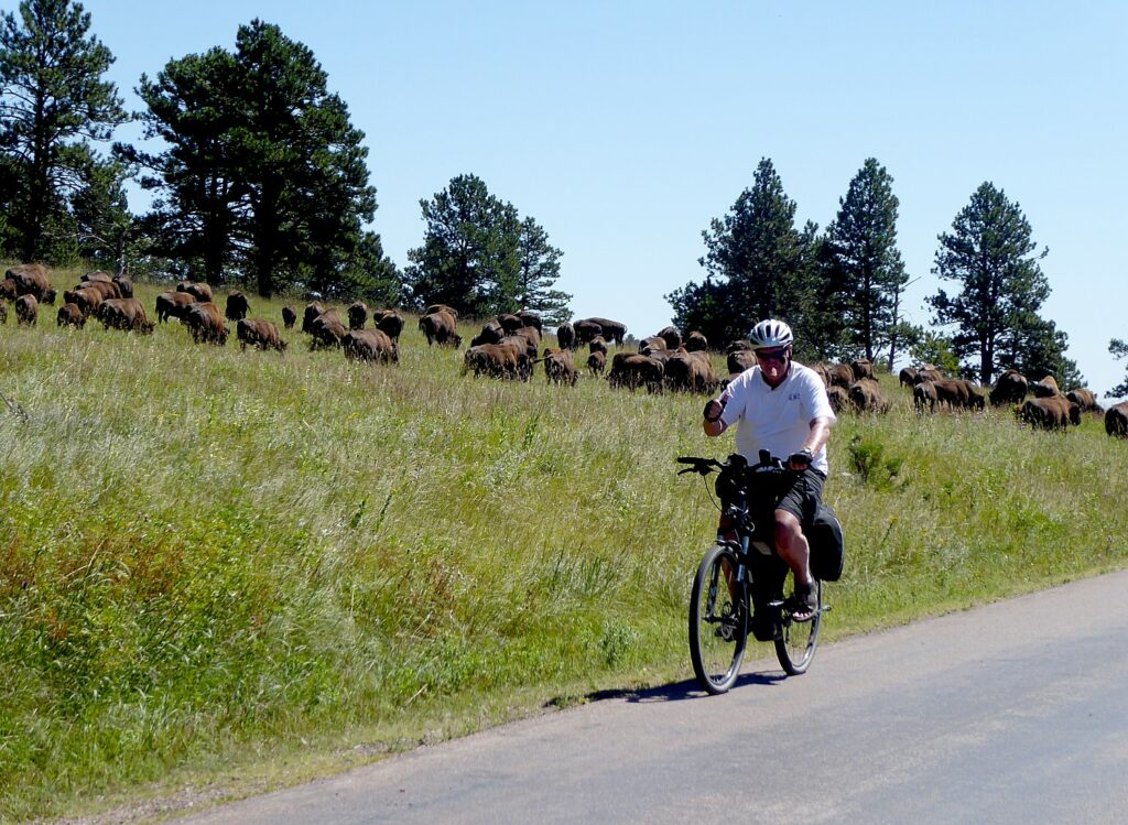
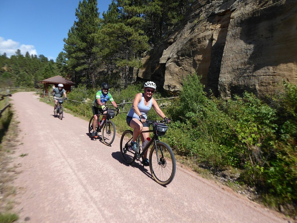
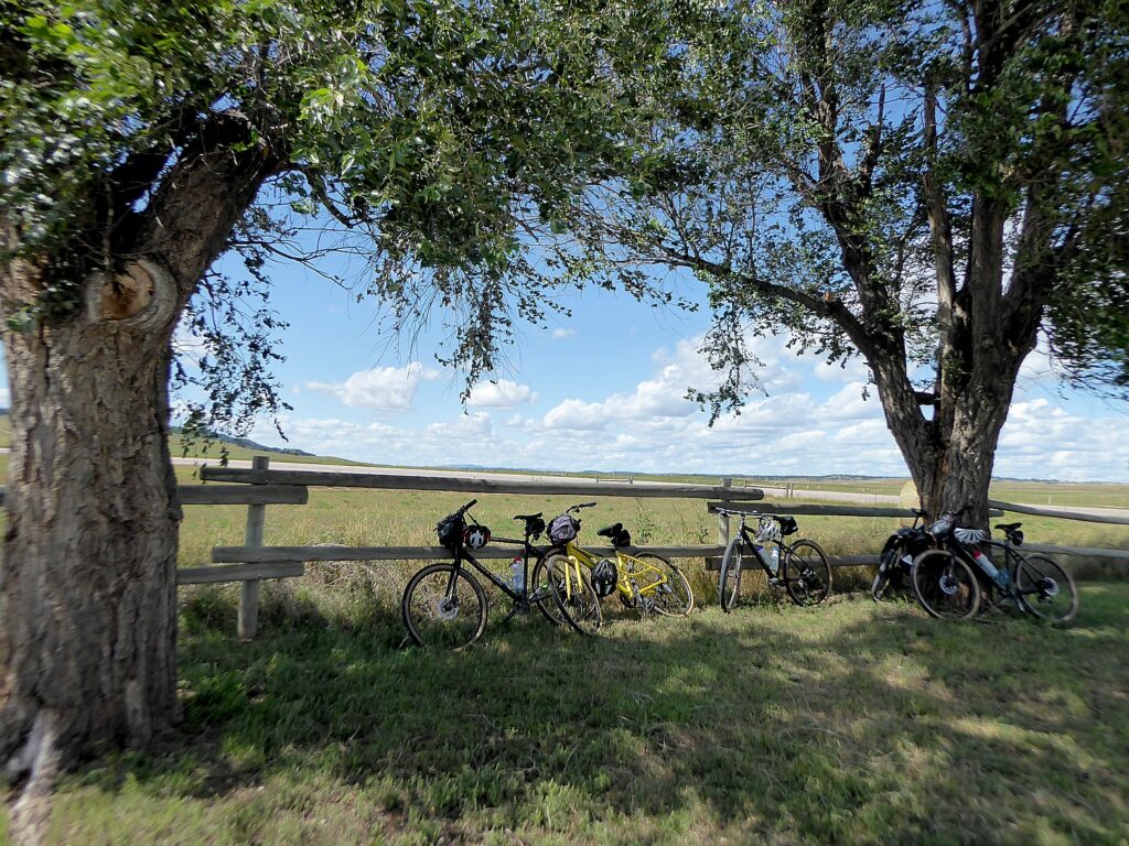
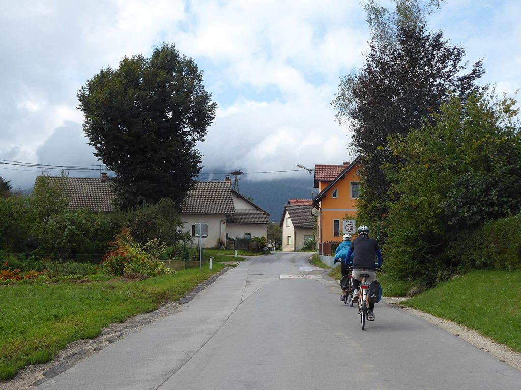
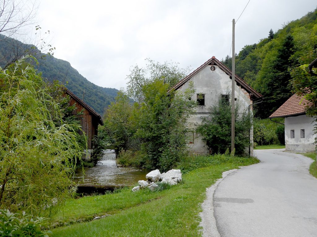
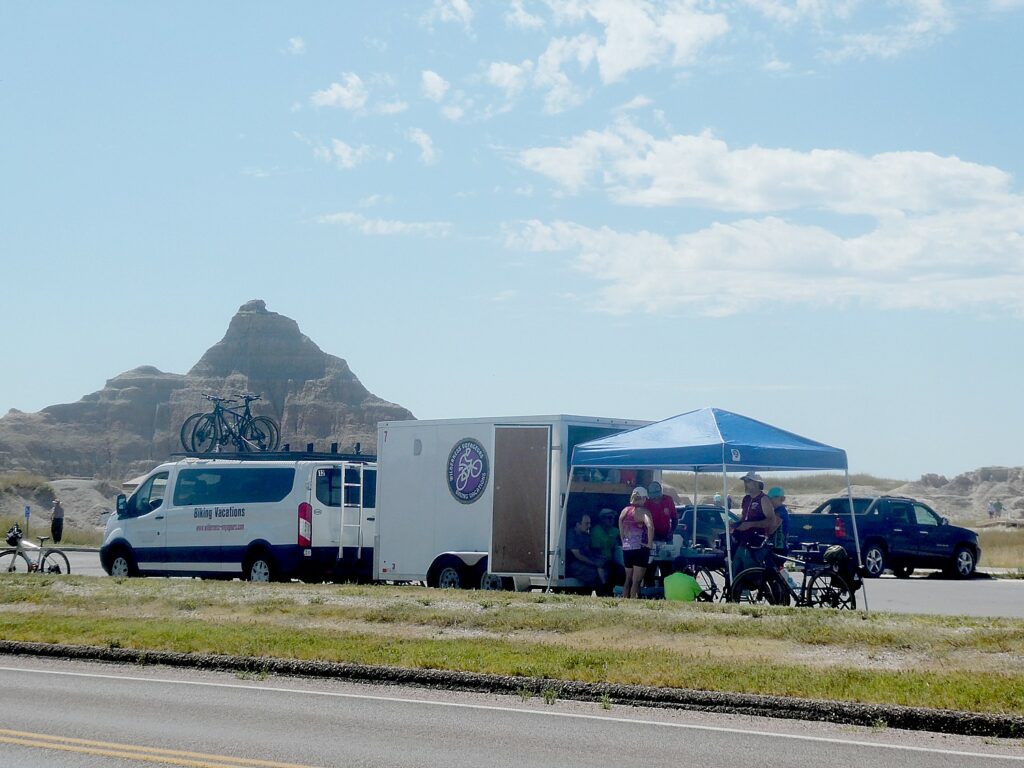
We get our bikes which our guides – James Oerding and John Buehlhorn – make sure are properly fitted, and outfit us with helmet, water bottle, Garmin. They orient us to the day’s ride – essentially biking through the national park on the road (“Don’t stop riding as you go over the cattle guards”; when the van comes up alongside, tap our helmet if we need help or give a thumbs up otherwise). We will meet up at the 8.2 mile mark where there is a nature walk and the van will be set up for lunch.
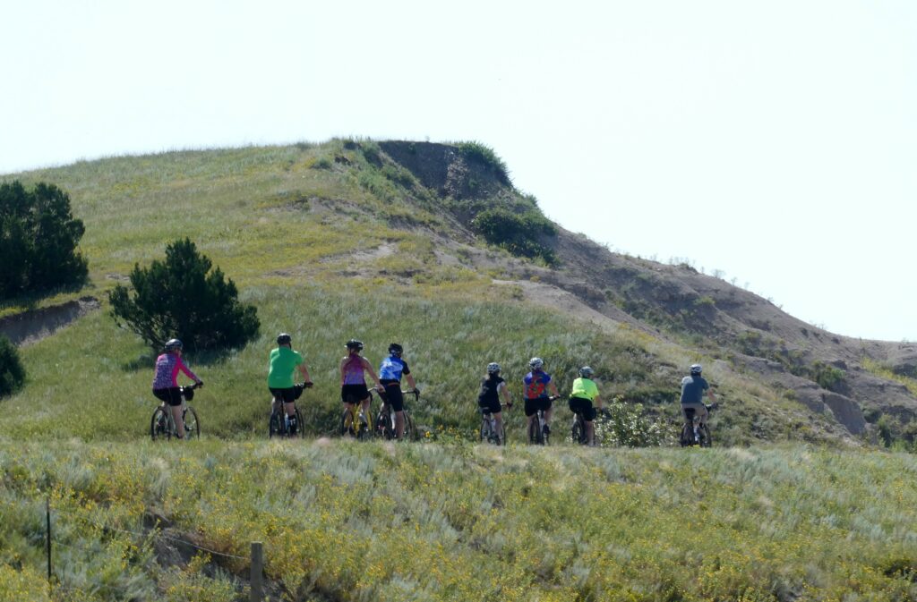
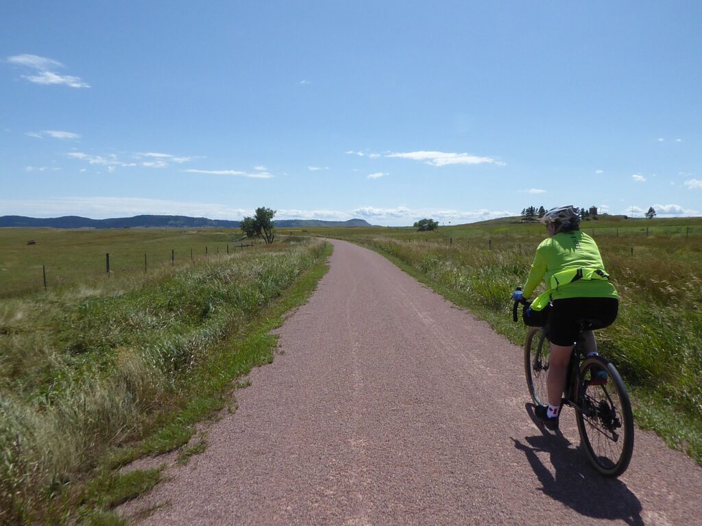
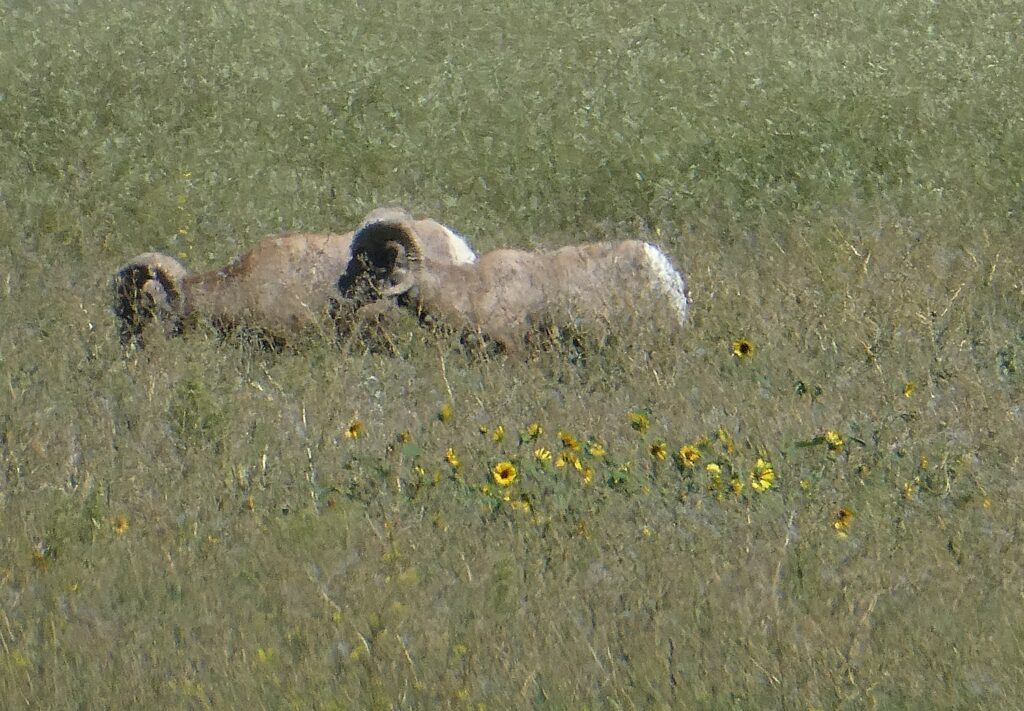
And then we are off at our own pace down an exquisite road (the cars are not a problem). That is a mercy because the vistas are so breathtaking, I keep stopping for photos. And then there are unexpected sightings – like bighorn sheep.
At the 8.2 mile mark, we gather at the van where James has set out a gourmet lunch.
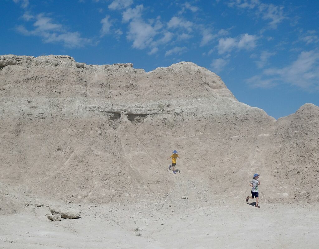
There is a boardwalk nature trail (I note the sign that warns against rattlesnakes and wonder about the kids who are climbing the mounds with abandon). I realize I am in time for a talk with Ranger Mark Fadrowski, who has with him original fossils and casts of fossils collected from the Badlands for us to look at and touch. We can see more – and even scientists working at the Fossil Prep Lab – at the Visitor Center further along our route.
“There are no dinosaurs here,” Ranger Fadrowski explains. “This area was underwater when dinosaurs lived.” But these fossils – gathered from 75 million years ago and from through 34 to 37 million years ago (there is a 30-million year gap in the fossil record), fill in an important fossil record between dinosaurs and hominids (that is, early man). Teeth, we learn, provide important information about the animal – what it ate, how it lived – and the environment of the time.
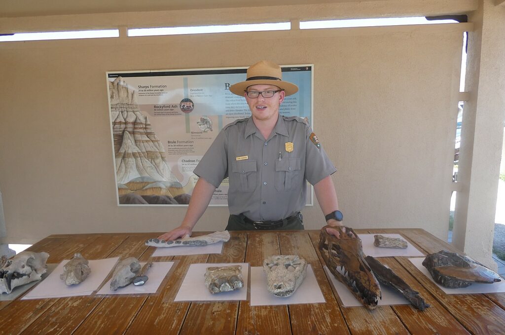
The Pierre Shale, the oldest layer when this area was under a shallow sea, is yielding fossils from 67-75 million years ago. He shows us a fossil of a Mosasaur, giant marine lizards, an ancestor of the Komodo dragon, and one of the biggest sea animals.
“We don’t have fossils from the 30-million year gap – either the sediment was not deposited or it eroded.” Indeed, we learn that these tall spires of rock with their gorgeous striations, are eroding at the rate of one inch each year, and will be completely gone in another 100,000 to 500,000 years. But the erosion also exposes the fossils.
The environment changed from a sea to a swamp during the Chadron Formation, 34-37 million years ago. “That was caused when the Rocky Mountains formed, with a shift in Teutonic plates. That pushed up and angled the surface so water drained into the Gulf of Mexico.” It was formed by sediments carried by streams and rivers flowing from the Black Hills, deposited in a hot and humid forest flood plain.
Alligators lived during this time. The alligator fossils found here show that the animal hasn’t changed in 30 million years. The alligators migrated when the environment changed, so survived.
During the Brule Formation, 30-34 million years ago, this area was open woodlands, drier and cooler than during the Chadron Formation; in some areas, water was hard to find. Animals that lived here then include the Nimravid, called “a false cat” because it seems to resemble a cat but is not related. The specimen he shows was found by a 7-year old girl just 15 feet from the visitor center and is the most complete skull found to date (imagine that!); there are two holes in the skull that show it was killed by another Nimravid. Also a three-toed horse (now extinct); and a dog.
In fact, it turns out it is not at all unusual for visitors to the park to come upon important fossils (there is a whole wall of photos of people and their finds just from this year). In fact, one visitor, Jim Carney, a photographer from Iowa, found two bones sticking up and reported the location. “They thought it would be a single afternoon. It turned out to be a tennis-court sized field, now known as the Pig Dig; the dig lasted 15 summers and yielded 19,000 specimens, including the “Big Pig.”
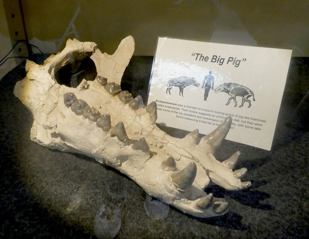
It was found at the beginning of the Brule Formation, when the area was drying out. “We believe it was watering hole drying up. Animals caught in the mud were prey for other animals.”
This is a place of Archaeotherium, Oredonts, Mesohippus, Subhyracodon, Hoplophoneus, Metamynodon, Cricid and Paleolagus.
The Sharps Formation, 28-30 million years ago, is where they have found Oreodont fossils. “The name means ‘mountain teeth’ because of the shape of its teeth, not the environment.” Fossils are identified mostly because of teeth which are most common to survive and reveal clues about behavior and what the animal ate, which speaks to the environment.
He shows us the fossil of an Oviodon. “It is weird, there isn’t anything alive like it. The closest relative is camel – like the weird cousin that no one knows how related. It is the most commonly found fossil – which means it was probably a herd animal.” And a Merycoidodon (“ruminating teeth”), which he describes as “a sheep camel pig deer”.
“The Badlands are eroding, so will reveal more fossils. Fossils are harder than rock, so won’t erode as fast.” Interestingly, only 1% of all life is fossilized. “We have to assume there are missing specimens.”
The Badlands “is particularly lush for fossils – because of the types of sediment that preserves them well.– 600,000 specimens have been collected from the Badlands since paleontologists first started coming here in the 1840s. Just about every major institution in the world has specimens that were originally found here, including the American Museum of Natural History in New York.
They provide clues to the “Golden Age of mammals – half-way between when dinosaurs ended and today – horses, camels, deer.”
I had no idea.
I’m so grateful that John (elected the sweeper for today’s ride) has not rushed me away and, in fact, waited patiently without me even realizing he was there.
I continue on, stopping often to take photos of the extraordinary landscape with its shapes and textures and striations. I barely miss a dead rattlesnake on the road (I think it was dead) and am too rattled to stop and take a photo.
I get to the Visitor Center which has superb displays and an outstanding film (must see). Again, no one is rushing me away, so I stay for the film, “The Land of Stone & Light”.
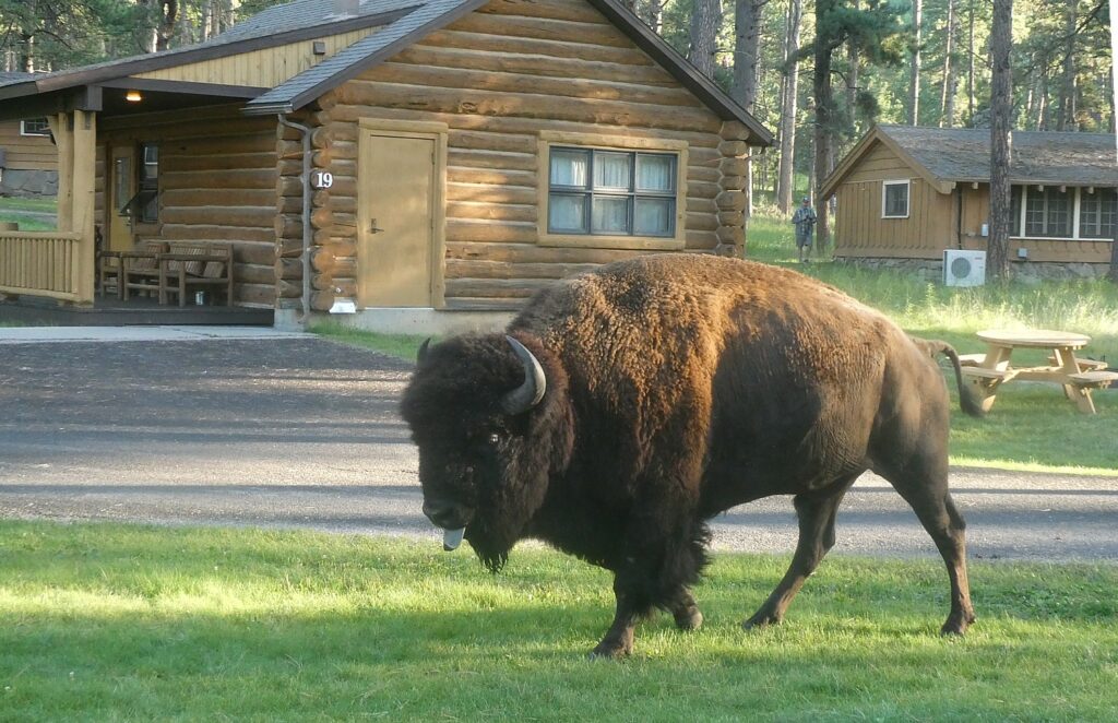
Native Americans have been in this area for 12,000 years; the Lakota came from the east around 1701 following buffalo, their culture was so dependent on buffalo. “They would pray for the buffalos’ well being” rather than their own.”
Treaties were signed that defined the borders, but they were broken. The white settlers demanded more and more of the Indian land, especially after gold was discovered in the Black Hills. (I later learn it was William Custer, the famous General of Custer’s Last Stand, who discovered the gold.)
The buffalo – so precious to the Lakota – were hunted nearly to extinction. The white men put up fences for their ranches and farms, preventing the buffalo from migrating. “What happens to the buffalo, happens to Lakota” – they were forced to cease their traditional life, settle down and farm or ranch. Resistance led to tragedy (Battle of Wounded Knee). (There is a photo of the Wounded Knee Massacre at the Trading Post.)
By the turn of the 20th century, the federal government was inviting homesteaders to come out and settle the West – they would get 160 acres if they could last five years on the land. They advertised abroad, enticing immigrants to “the luscious plains in the Dakotas.”
Lumber and stone was rare in the Badlands, so the settlers built their shanties of sod, called “sodbusters.”
“Living was hard; small-scale farming couldn’t succeed. They endured blistering summers, cruel winters, extreme wind. Many left” especially in the Great Depression. I think how ironic.
“Before the Lakota, before the dreams of homesteaders ended, paleontologists came here 150 years ago.” The layered landscape of the Badlands told the story of geologic change, of climate change, that is still continuing. The Badlands are eroding fast – at the rate of one inch per year, “so in 100,000 to 500,000 years, all will be gone. The earth is a dynamic and changing system.”
The ecology is complex. This is a mixed grass prairie – it may look dry, but the tangled roots store nutrients. Animals help sustain it –the bison churn up the soil, mixing the moisture and scattering seeds; prairie dogs are critical to the ecosystem, too – they also stir up the soil, and the burrows they dig are used by other animals like owl and ground squirrel. The black footed ferret lives in abandoned burrows and also eats prairie dogs.
The farmers’ attempt to eliminate prairie dogs resulted in the near-extinction of black-foot ferret. They have been reintroduced; also swift fox, bighorn sheep.
“The mission of National Parks is to preserve and restore – but we can’t restore the biggest animals that once were here – the prairie wolf and grizzly bear.”
I’m about to leave when I stumble upon the Paleontology Lab, which is open to the public, where we can watch as two paleontologists painstakingly work to remove sediment from bone – their efforts magnified on a TV screen.
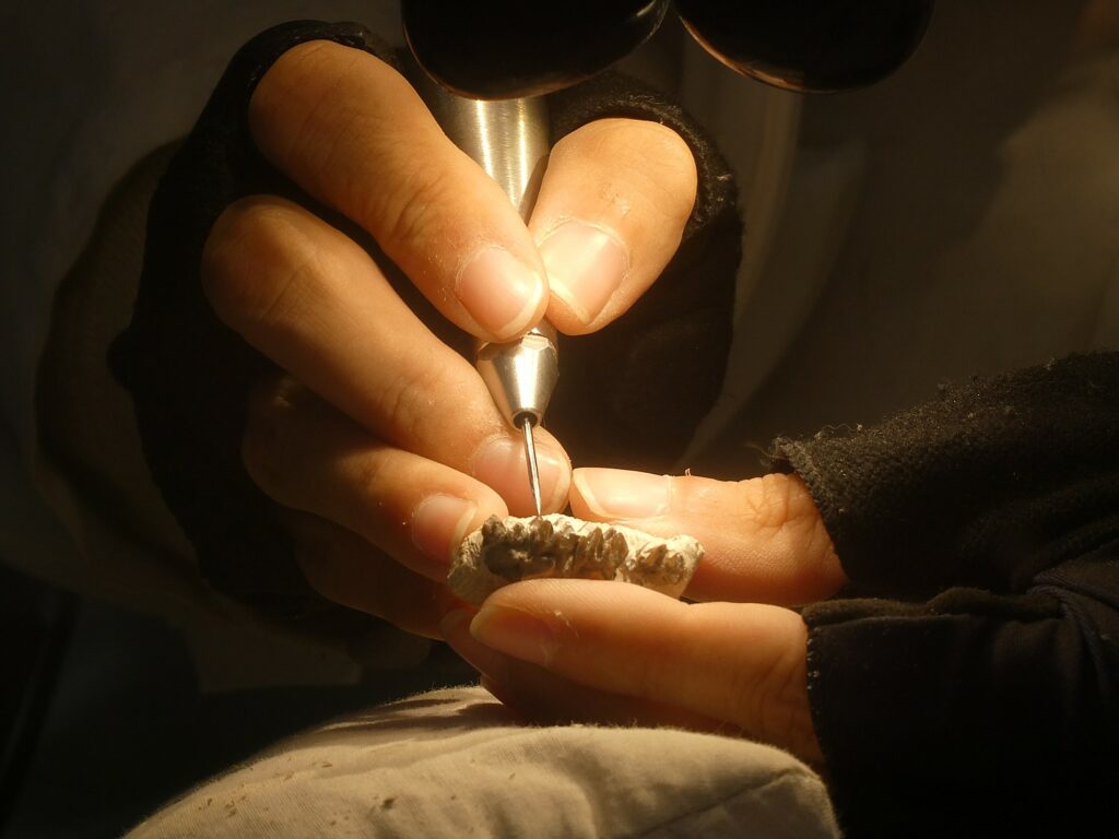
“I am working on a Merycoidodon, an oreodont, which is a group of hoofed mammals native to North America,” the sign says in response to what must be the zillionth time a visitor asks. “Although they have no living relatives in modern times, oreodonts are related to another native North American mammal: the camel. Oreodonts are sheep-sized and may have resembled pigs, but with a longer body, short limbs and with teeth adapted for grinding tough vegetation. The skulls of Merycoidon have pits in front of the eyes, similar to those found in modern deer which contain scent glands used for marking territory. Oreodonts lived in herds and may at one point have been as plentiful in South Dakota as zebras are in the African Serengeti.”
But the paleontologists are happy to answer questions, too. One tells me she has part of an ear canal (very unusual) and ear bones. “It’s unusual to have the upper teeth. This is a sub-adult –I can see wisdom teeth and unerupted teeth.” She is working on a Leptomerycid – relative of mouse deer – an animal the size of house cat.
It has taken her 170 hours to extract teeth from rock.
“This is the second time anyone got an upper row of teeth for this species. It may change scientists’ understanding. We’re not sure if it is a separate species – it has a different type of tooth crown. But having a second fossil means we can compare.”
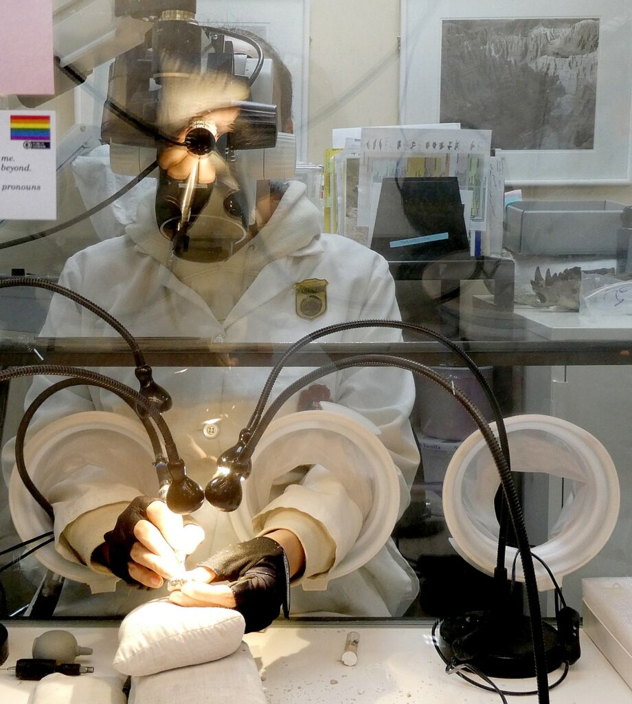
Just then, the senior paleontologist, Ed Welch comes in and tells me that because teeth are used to determine species, the work being done could prove or disprove whether this animal is a separate species.
Welch says it so far looks like a species that was named in 2010 based on the lower teeth. “Now we have upper teeth and part of the skull. The difference could be variation by ecology (for example, what it ate). It was found at same site so would have been contemporary. We looked at several hundred jaws. This one could be an ‘ecomorph’ – just different because of what it ate.”
The Badlands have some of the oldest dogs ever found, and the most diversity. In the display case is one of only eight specimens ever found – the other seven are at the American Museum of Natural History in New York City but they are not displayed; this is only specimen that can be viewed.“It is the oldest one of its kind,” 33-32 million years old – and was found by a college student from Missouri.
He says the seven-year old girl who found the saber cat fossil that the Ranger showed, came back this year, now 16 years old.
“We ask visitors to leave the fossil where it is and report to us, give us photos, a GPS, so we can locate. Some of the fossils were found right on the trail, not even in remote areas.
Probably the most famous – a hero around the lab – is photographer Jim Carney of Iowa who found two bones that ended up being a big bone bed that so far has yielded 19,000 specimens.
Judging by wall of photos of visitors and their finds just in 2019 it would seem that people have great odds and probability of finding important fossil. Add fossil hunting to the hiking or biking adventure.
The fossils collected here since the 1840s are in every major institution. While fossils of dinosaurs and early man might get everyone excited, these fossils – the middle of the Age of Mammals – are important to fill out that story of ecological and evolutionary change.
“The Badlands is in the middle of the earth’s transition from Greenhouse to Ice House – and the fossils found here show how animals responded to the ecological change: “adapt, migrate or go extinct.”
Welch made the decision to open the paleontology lab so people can see scientists at work. “We decided to do more than a fishbowl, to make it a great education tool.”
The Fossil Preparation Lab in the Ben Reifel Visitor Center is typically open from 9 am – 4:30 pm daily from the second week in June through the third week in September.
Badlands National Park is open year-round.
(More information on Badlands National Park at www.nps.gov/badl/index.htm, www.nps.gov/badl/planyourvisit/events.htm)
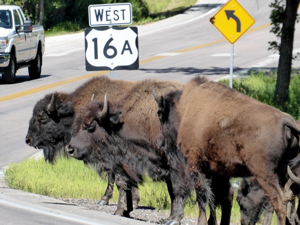
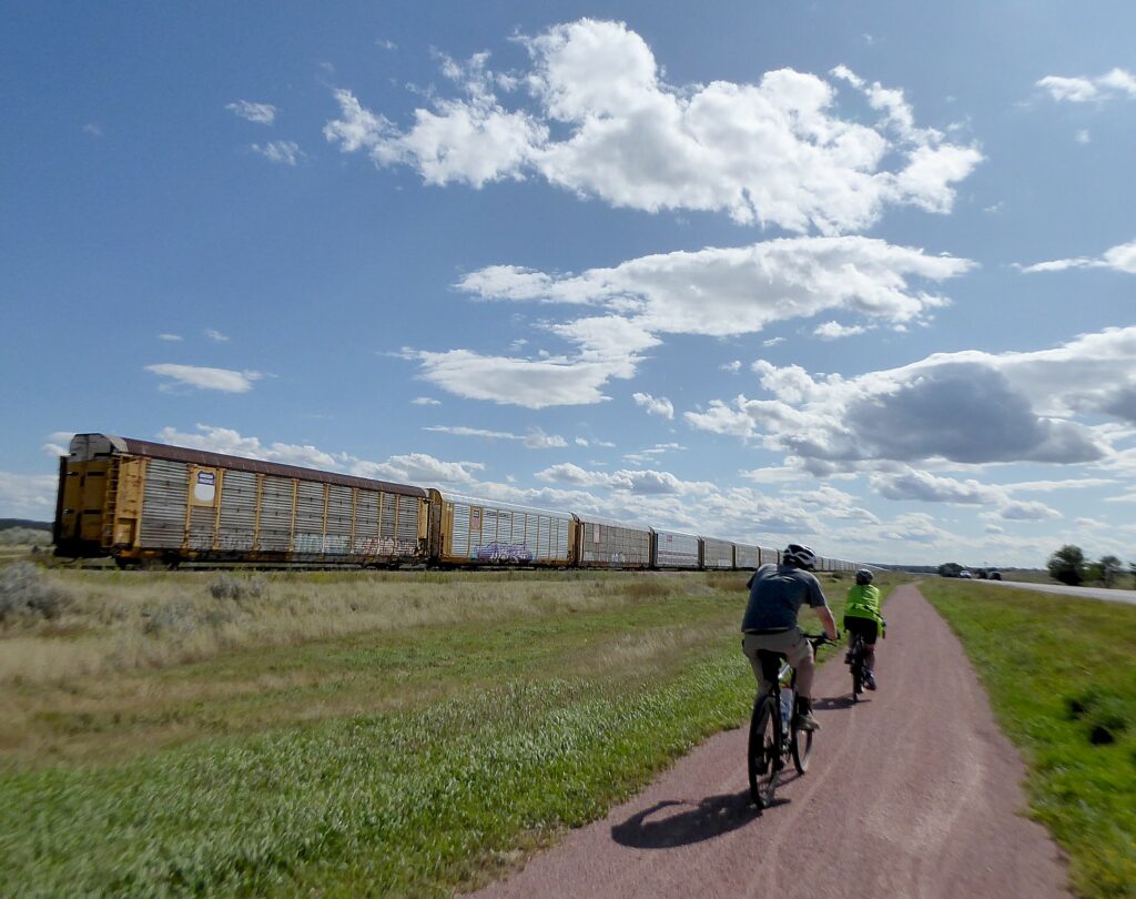
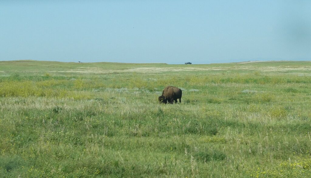
During our ride through the Badlands National Park, I spot the major animals that are resident here: bighorn sheep; American bison, pronghorn (also called antelope), mule deer and black-tail prairie dog. The one I miss is a coyote (yet to come).
We have 12 miles further to bike to our accommodation for the night, the Circle View Guest Ranch, which proves to be an amazing experience in itself.
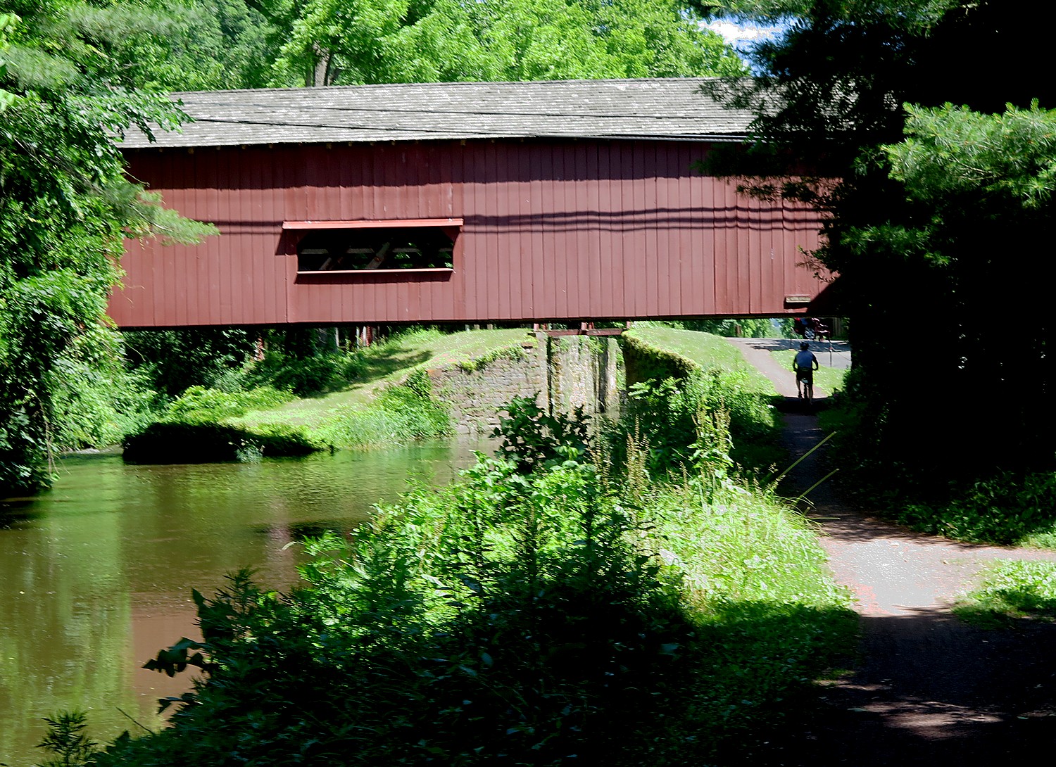
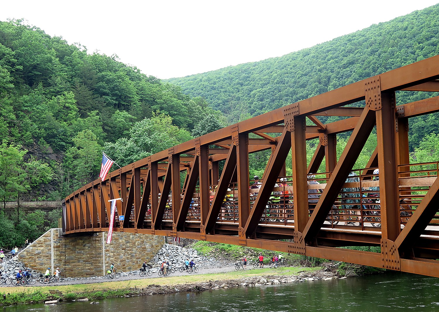
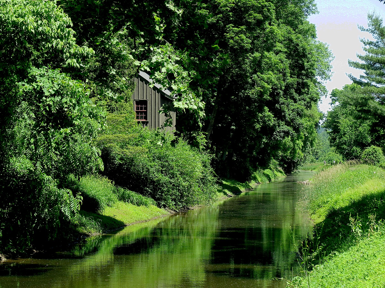
Wilderness Voyageurs started out as a rafting adventures company 50 years ago, but has developed into a wide-ranging outdoors company with an extensive catalog of biking, rafting, fishing and outdoor adventures throughout the US and even Cuba, many guided and self-guided bike itineraries built around rail trails like the Eric Canal in New York, Great Allegheny Passage in Pennsylvania, and Katy Trail in Missouri.
There are still a few spots left on Wilderness Voyageurs’ Quintessential West Cuba Bike Tour departing onMarch 21.
Wilderness Voyageurs, 103 Garrett St., Ohiopyle, PA 15470, 800-272-4141, [email protected], Wilderness-Voyageurs.com
_________________________
© 2020 Travel Features Syndicate, a division of Workstyles, Inc. All rights reserved. Visit goingplacesfarandnear.com, www.huffingtonpost.com/author/karen-rubin, and travelwritersmagazine.com/TravelFeaturesSyndicate/. Blogging at goingplacesnearandfar.wordpress.com and moralcompasstravel.info. Send comments or questions to [email protected]. Tweet @TravelFeatures. ‘Like’ us at facebook.com/NewsPhotoFeatures