By Karen Rubin, Travel Features Syndicate, goingplacesfarandnear.com
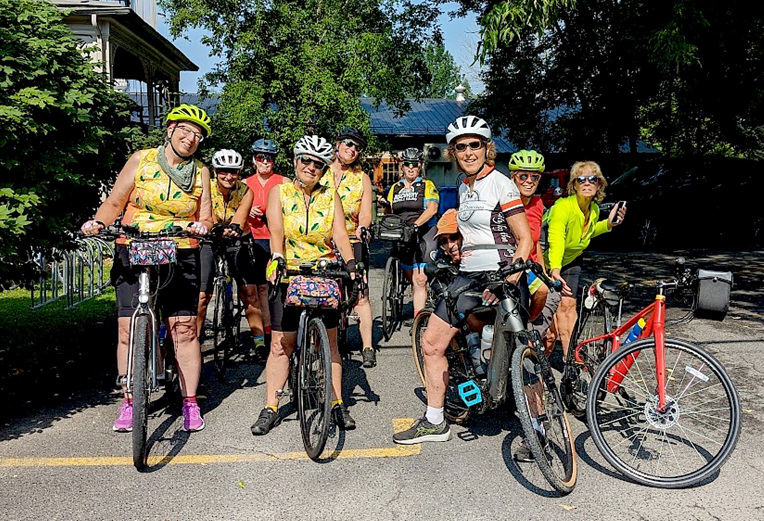
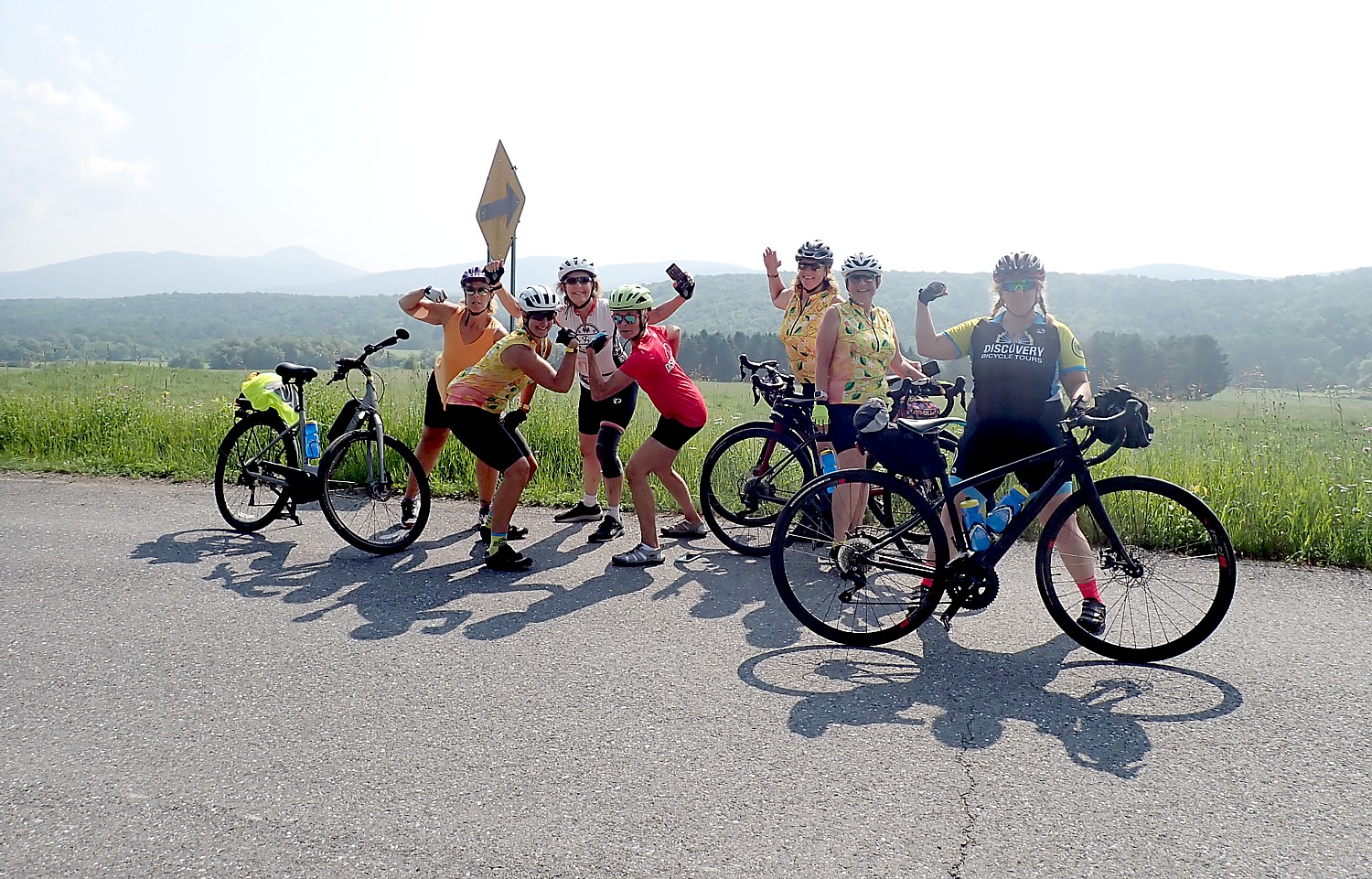
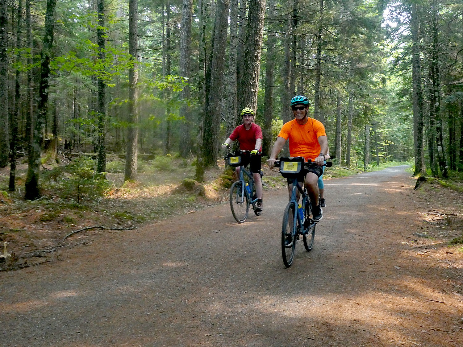
On Day 4 of Discovery Bicycle Tours’ six-day Idaho Trails trip, after breakfast at our base at the Silver Mountain Resort, we are shuttled to Shoshone Park in the mining town of Mullan for an easy downstream ride through the “Silver Valley,” home to several historic mining communities.
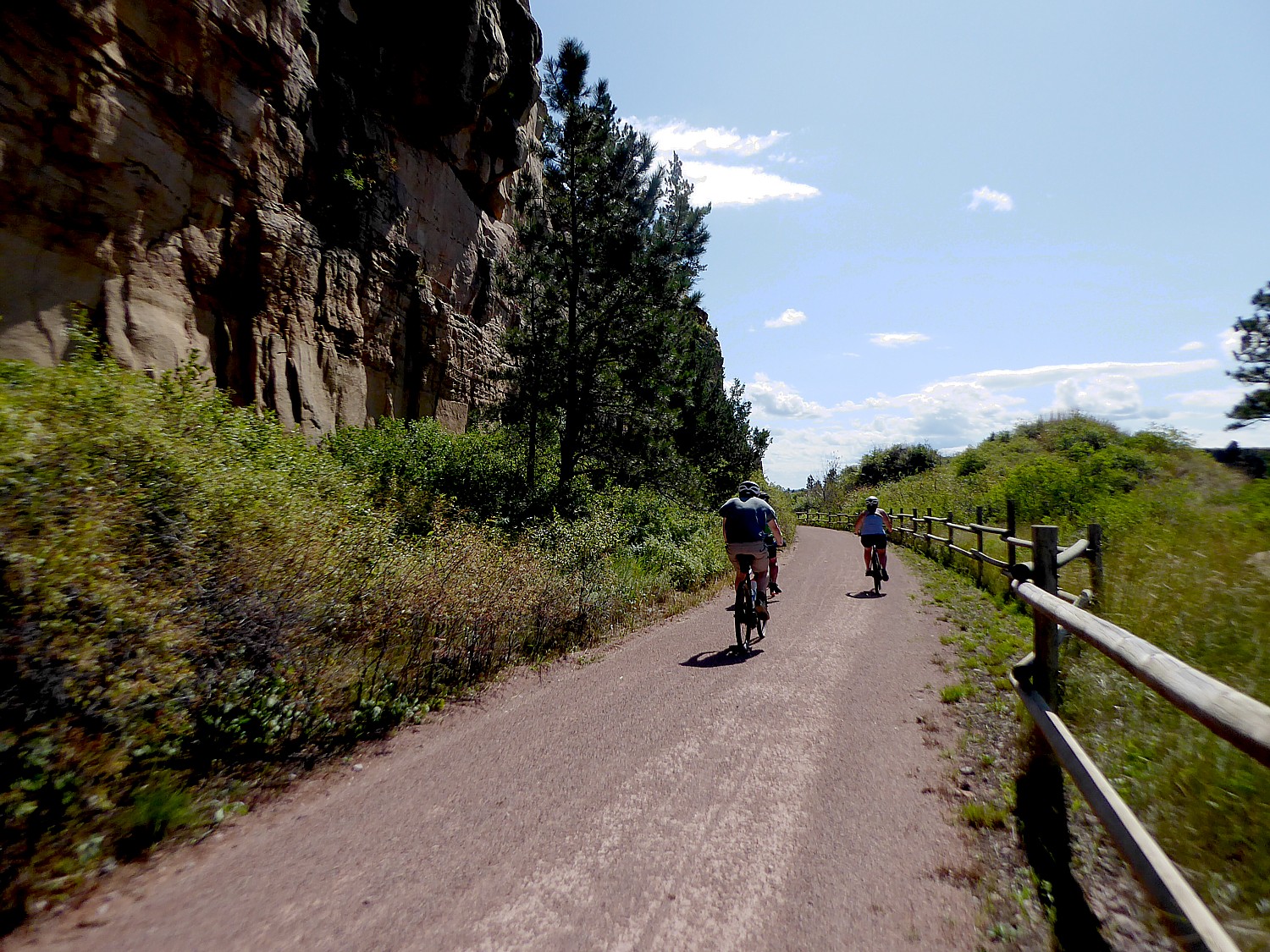
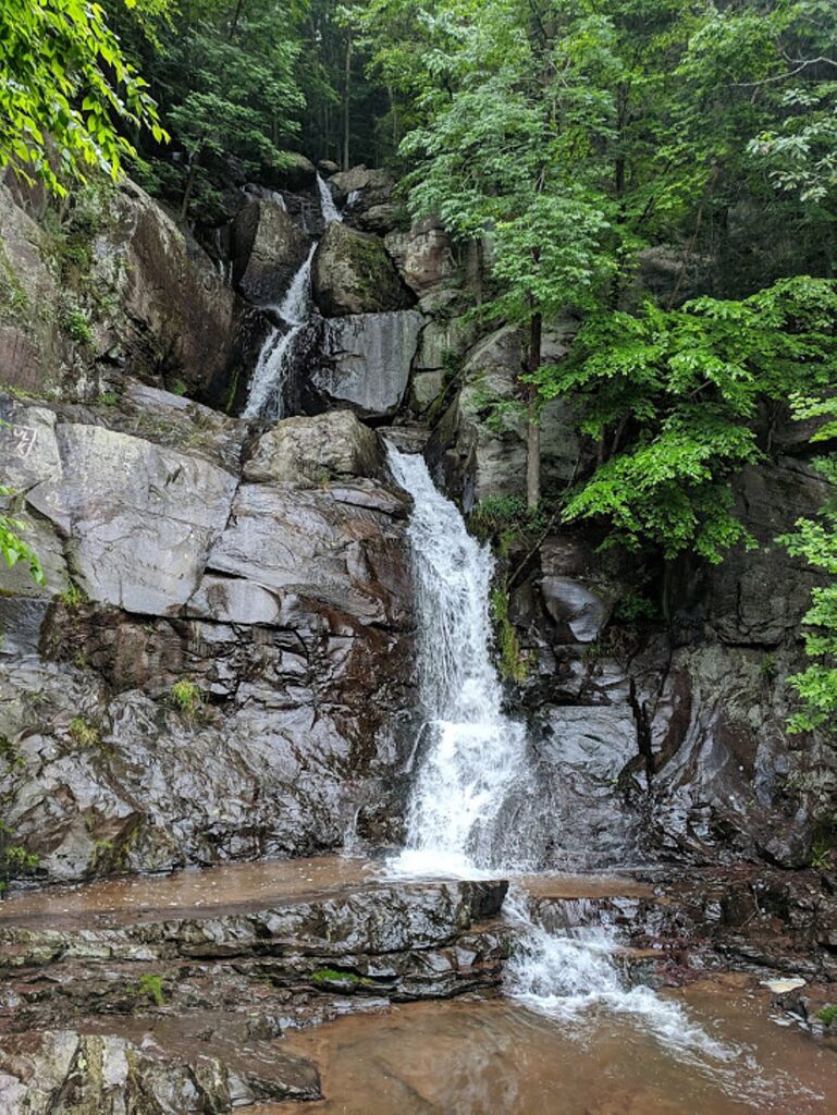
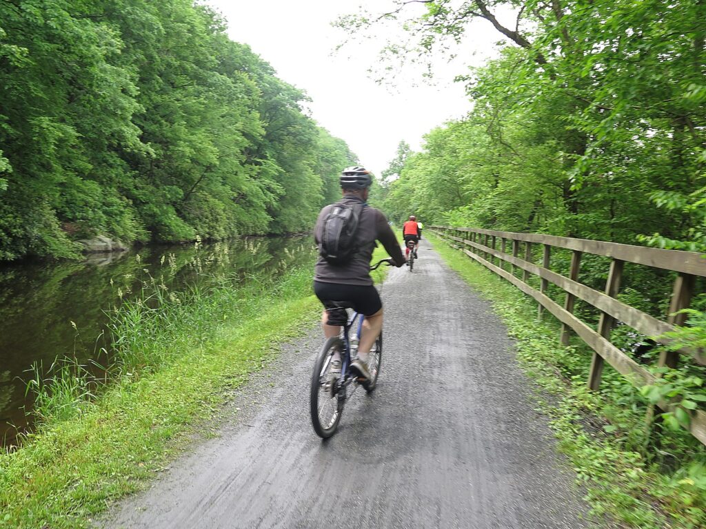
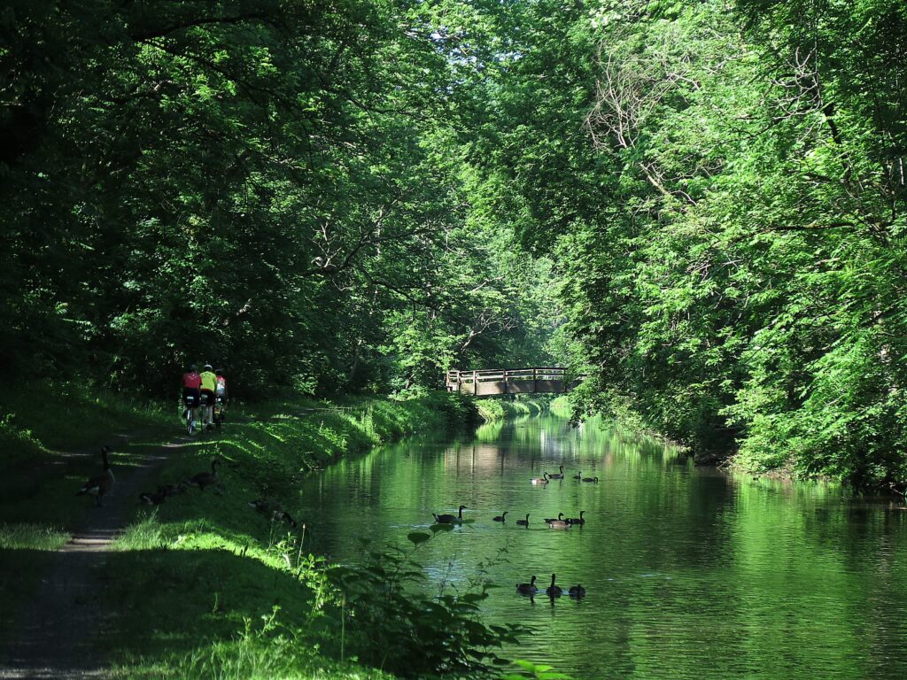
We soon pick up the official start of the Trail of the Coeur d’Alenes, enjoying views of the rocky, forested mountains, as we make our way to the utterly charming “wild west” town of Wallace.

We have been primed for Wallace’s character (and humor) when we had a talk by a local historian at the Roosevelt Inn in Coeur d’Alene so are prepared for the “history (and some hilarity!) that await us as citizens of Wallace have tenaciously preserved their town amidst an ever changing landscape of fortunes lost and gained.”
Now, we stroll around the town looking for some of the sights she pointed out, like the town’s last brothel, a mining museum, a silver shop, before we join the Sierra Silver Mine Tour that Discovery has arranged for us. It begins with a delightful narrated tour of Wallace in an open-air trolley that takes us up to the mine.
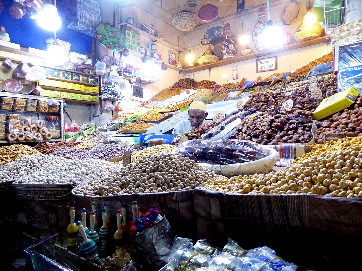
Who knew that Wallace was the “Silver Capital of the World” – some $138 billion worth taken out of these mines –$20 billion of metals just last year (did I hear that right?) – 1 million ounces of silver. In the 1960s, incredulously, Wallace was the “richest little city” in America with the highest number of millionaires per capita, as well as a thriving brothel industry. (The last running bordello was shut down in 1989 when the FBI raided tax dodgers – there is still resentment in the town – but you can visit the Bordello Museum.)
When mining began in 1886, Wallace’s population was 500; at its peak, in 1940, when some 200 mines were operating (quartz, gold, silver, copper, zinc), the population peaked at 4000, but, with the collapse of silver prices in March 1980, most of the mines closed, the miners left and the population fell to the present number of 800. Today, there are still four active silver mines, including the Lucky Friday and the Galina mines, and one gold mine.
In 1890, a chimney fire destroyed most of the town – the buildings we see today date from 1890-1920. Indeed, Wallace has the rare honor of the entire town being listed on the National Register of Historical Places.
Other tidbits: only one sitting president has visited Wallace: Theodore Roosevelt came in 1903 on a campaign whistle stop; the town spent $5000 just on flags to welcome him. There was a shootout on Valentine’s Day, 1951 – one of the tommy guns is on display in the museum. And Wallace’s most famous native is Lana Turner went one day to a grocery store where she was discovered.
You would be forgiven if you thought Wallace was a theme park creation (the 1997 movie “Dante’s Peak” was filmed here), but the history and the heritage are real, as is the miner, “Fast Freddie,” who is our guide into the silver mine.

“Fast Freddie” is a colorful character (he looks as if he came from Hollywood casting), with a marvelous sense of humor, amusing and engaging, but most important, he is authentic, speaking of his own experience working 21 years underground in these mines. “You need a good sense of humor in a mine,” Freddie tells us. “We used to play tricks.”
This mine was only briefly used, he says, because the silver was very low grade and not worth the expense. It was turned into a mining school, where students learned the techniques of mining and could be hired right into a job.
After the collapse of the silver market and the closure of mines, Wallace looked to tourism to compensate. This mine was turned into an attraction, getting as many as 18,000 visitors a year.

As we enter the mine and pass a skeleton sitting on a chair, Freddie tells us that one of the worst mining disasters in history took place on May 2, 1972 when 91 miners lost lives and just 2 survived. ‘It took 2 weeks to recover all of them. They didn’t have a system to know who was down there.’ After that, the Mine Safety Administration mandated a tag system – larger mines have more sophisticated program.

We actually see a canary cage – used to let the miners know when oxygen is low (the proverbial “canary in a coal mine.”)
In this mine, future miners were taught to run the jack, the drill, and to blast. The miners work alone at different levels, so each one has to do everything – digging, setting the dynamite charge, moving out the ore. “You have to get everything done so you can blast before the next shift arrives.”

How to protect against the noise? “A cigarette butt was ear protection” (not sure he was joking.)

The veins of silver go down for miles – in 1964, they were mining at 250 feet. The Lucky Friday Mine, the largest in the area, is operating at 9600 feet below ground. The deeper they go, the hotter it gets – at 9,000 ft, as much as 170 degrees – so they designed a refrigerated ventilation system to cool to 100 degrees.
After being returned by the trolley, we have time to wander around Wallace before biking back on the trail on our own to the Silver Mine Resort.

Wallace is really interesting – like a time warp and not really just “tourist quaint”, quirky and fun. Just strolling around, you find the Wallace District Mining Museum, the Idaho Silver Shop, Northern Railroad Depot Museum, and everyone’s favorite, the Oasis Bordello Museum.


These folks in Wallace have a sense of humor – and an eye for a profit-making tourism-promoting gimmick: they designated a manhole at the crossroads in the middle of town as the “Center of the Universe” (that’s what is engraved on it). Based on what? “What’s the evidence that it isn’t?” comes the reply.

I find a shop that sells guns, antiques, curios, and collectibles. In a glass cabinet is a large mummified “mermaid” (calling to mind a similar fantastical creature displayed in a store in Banff, Canada, and P.T. Barnum’s museum of oddities).

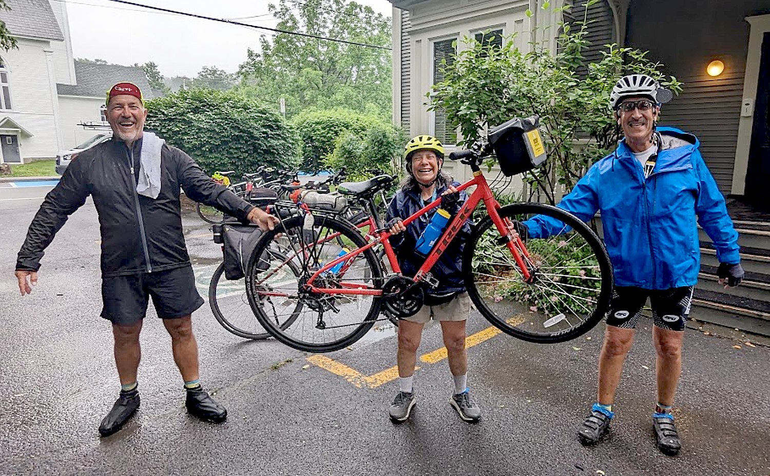
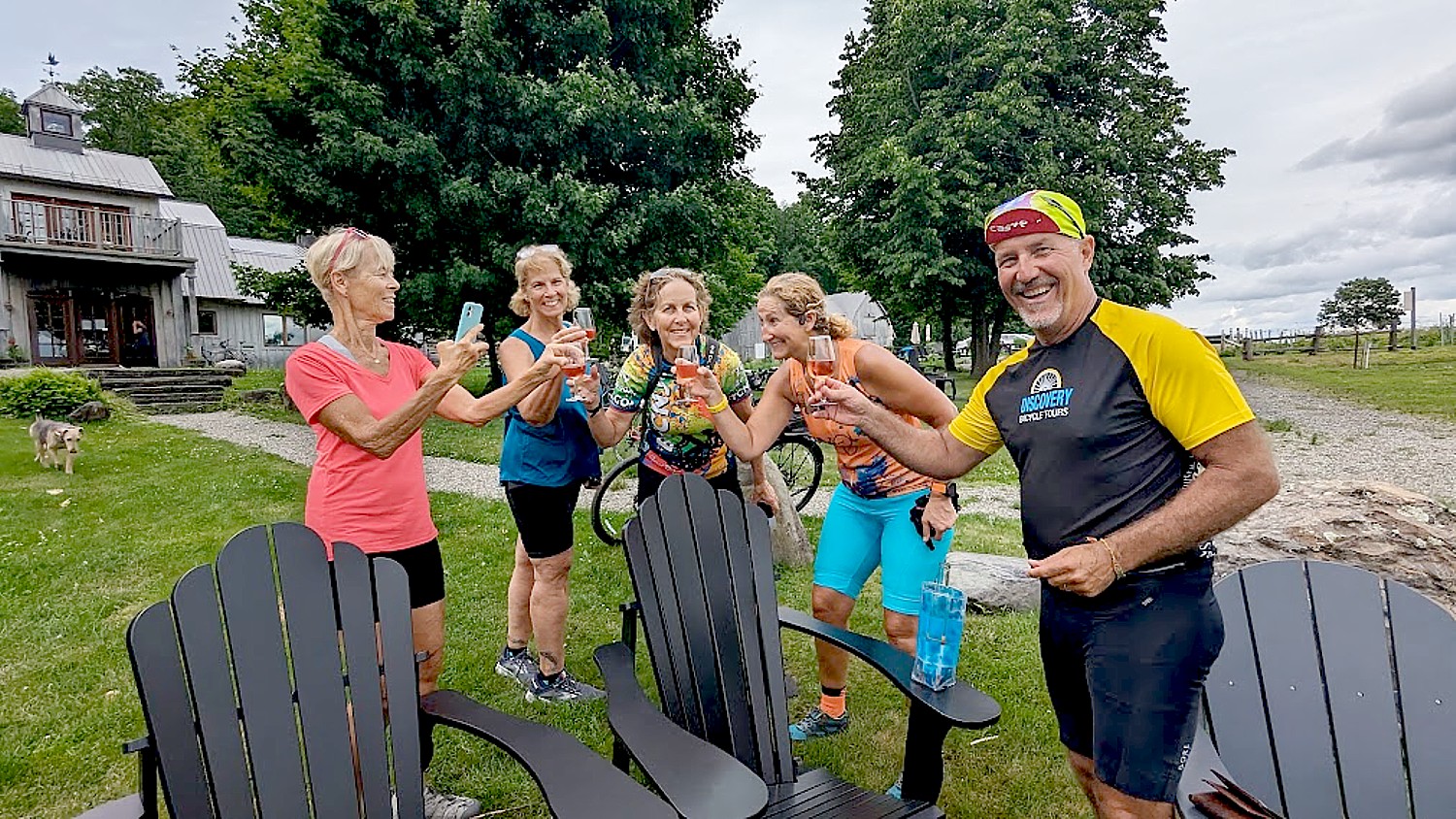
It’s a delightful bike ride from Wallace to the Silver Mountain Resort in Kellogg, where later we have dinner together in the mountain village base.
DAY 5: 39 or 46 miles, Cataldo Mission and the Coeur d’Alenes
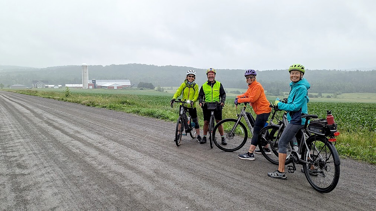
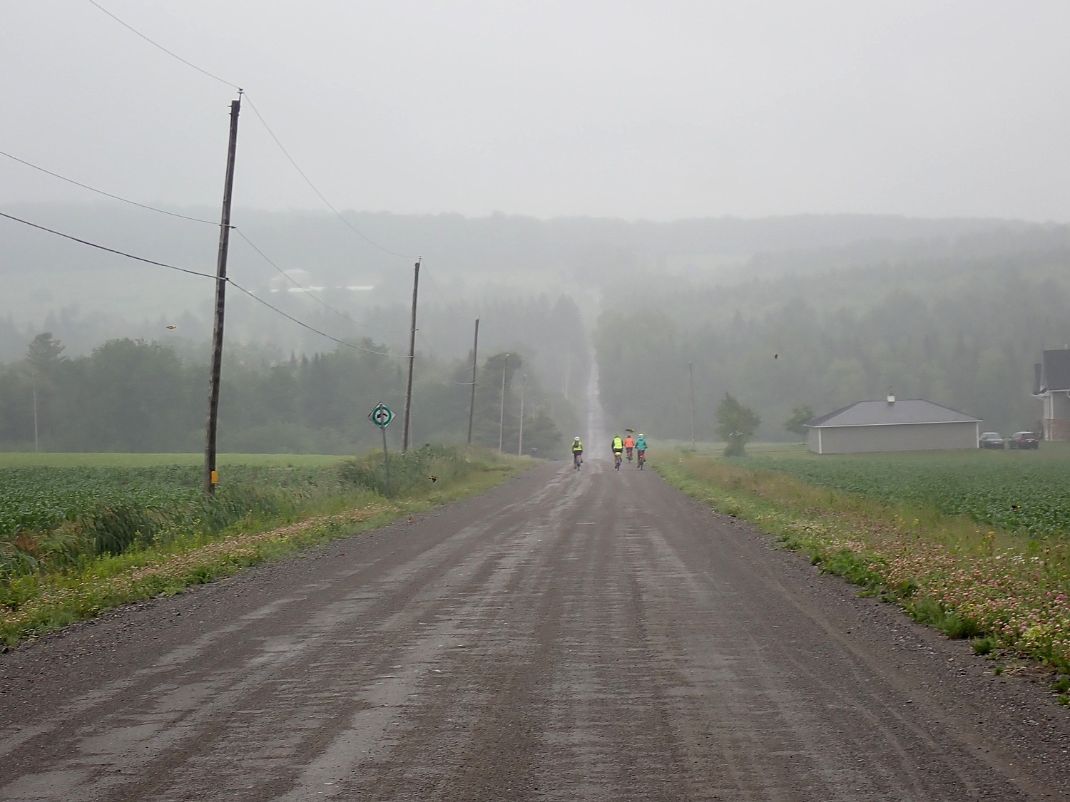
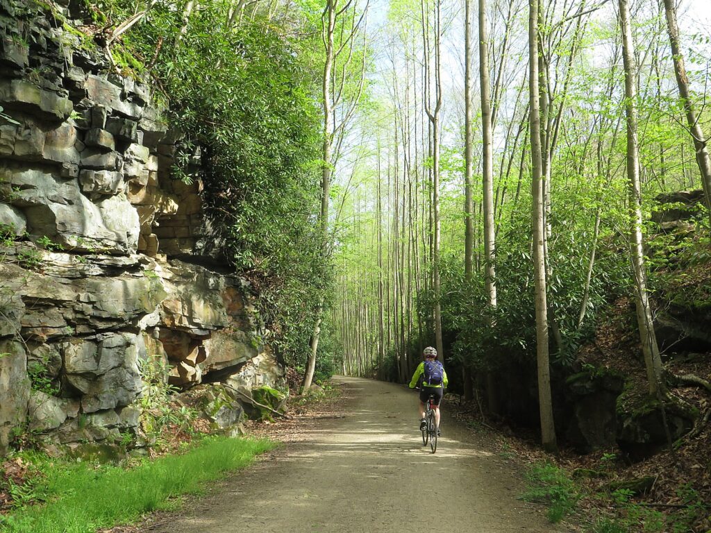
The plan on Day 5 is to set out from the Silver Mountain Resort biking on the Trail of the Coeur d’Alenes, and after 11 miles or so, to visit the Cataldo Mission, Idaho’s oldest standing building, lunch at the Rodehouse before continuing biking, with a choice of 39 or 46 miles of cycling to Harrison, where we are to be shuttled back to the resort for a celebratory dinner in Kellogg for our last night together.
But it is a drenching rain.
Our guide, Calista Phillips, says “There is no bad weather, only bad clothing” and says her job is to cheer lead for biking, but if we don’t want to, we can choose to shuttle the first 11 miles instead of bike to the Cataldo Mission. After assuring us we won’t be missing much in the way of scenery and that the portion from Cataldo to Smelterville is the pretty part, we vote to take her up on her offer to drive us to the Mission. (I’m just so grateful it wasn’t raining like this when we did the Route of the Hiawatha, especially when I see another bike tour heading out there this morning.)
The visit at the Cataldo Mission starts with an excellent video that explains how the local tribe invited the Jesuits (“Black Robes”) to come here and build the mission. At the time, the introduction of the horse meant that tribes that had coexisted in their own land before, began to encroach on each other’s territory. The tribe believed that the “Black Robe” missionaries had a superior power, a Great Spirit, who would enable them to triumph over their enemies.
The Mission of the Sacred Art was built in 1850-1853, by Father Pierre Jean De Smet, chief of the “Black Robes” who answered the tribe’s invitation to come, along with Father Ravalli, an Italian-born religious leader who designed the building and supervised construction with simple tools and without nails.

The Old Mission church is simple and beautiful – the wood-beamed ceiling painted blue with huckleberries, to make the native people more comfortable since they were used to praying outside. We learn that the walls were decorated with fabric bought from the Hudson Bay Company and a hand-painted newspaper from Philadelphia that Fr. Ravalli had received in the mail. Tin cans were used to create the chandeliers. Both wooden statues were carved by Fr. Rivalli with a knife to look like marble.
What I find most fascinating, though, is the museum there that better represents the tribe’s point of view – how they were initially drawn to Christianity with its values of “comfort, community” the sense of miraculous to be found in nature, and a Great Spirit with power to grant protection, like their own spirits, which seemed (at first) to conform with their own values and beliefs.
The Coeur d’Alene people – the Schitsu’umsh, meaning “Those who were found here” or “The discovered people” – were initially drawn in because the early Jesuits were tolerant of native culture and traditions, even blending the cultures together.
The mission became a stop and supply station for traders, settlers, and miners traveling on the Mullan Road, and a port for boats heading up the Coeur d’Alene River.

Over time, the Coeur d’Alene people regretted the decision to give the Black Robes a stronghold when they realized the Jesuits’ mission was to create an Empire of Christianity. At the same time, white settlers looking to exploit the region’s resources, who brought guns and small pox, were taking territory and pushing out the indigenous tribes. In 1877, even the mission was forcibly relocated from the ‘House of the Great Spirit.”
The museum displays photos and artifacts that show the effort to Christianize and eradicate native heritage and culture – but done in an understated, polite way since this museum, is apparently a partnership between the tribe and the mission. (The Cataldo Mission became a state historic park in 1935, was designated a National Historic Landmark in 1961, and put on the National Register of Historic Places in 1966.)
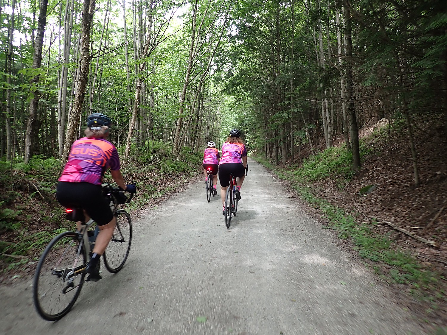
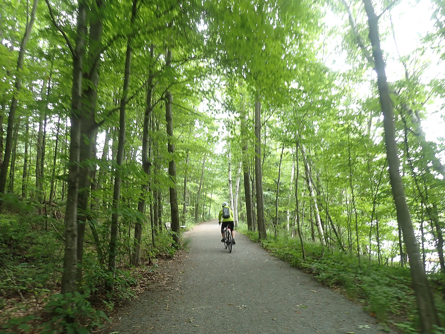
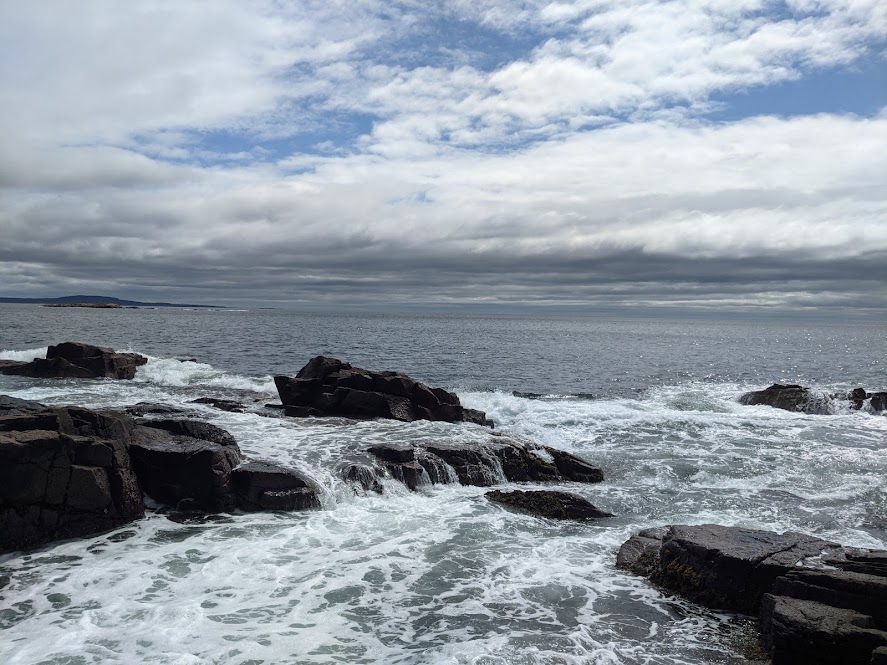
We have lunch at the Rodehouse, right across the road from the Trail of the Coeur d’Alenes. By this time, the rain has all but ended – it is grey and humid – and we get back on the trail for the 16-mile ride back to the resort. The cloud formations make for dramatic scenes.

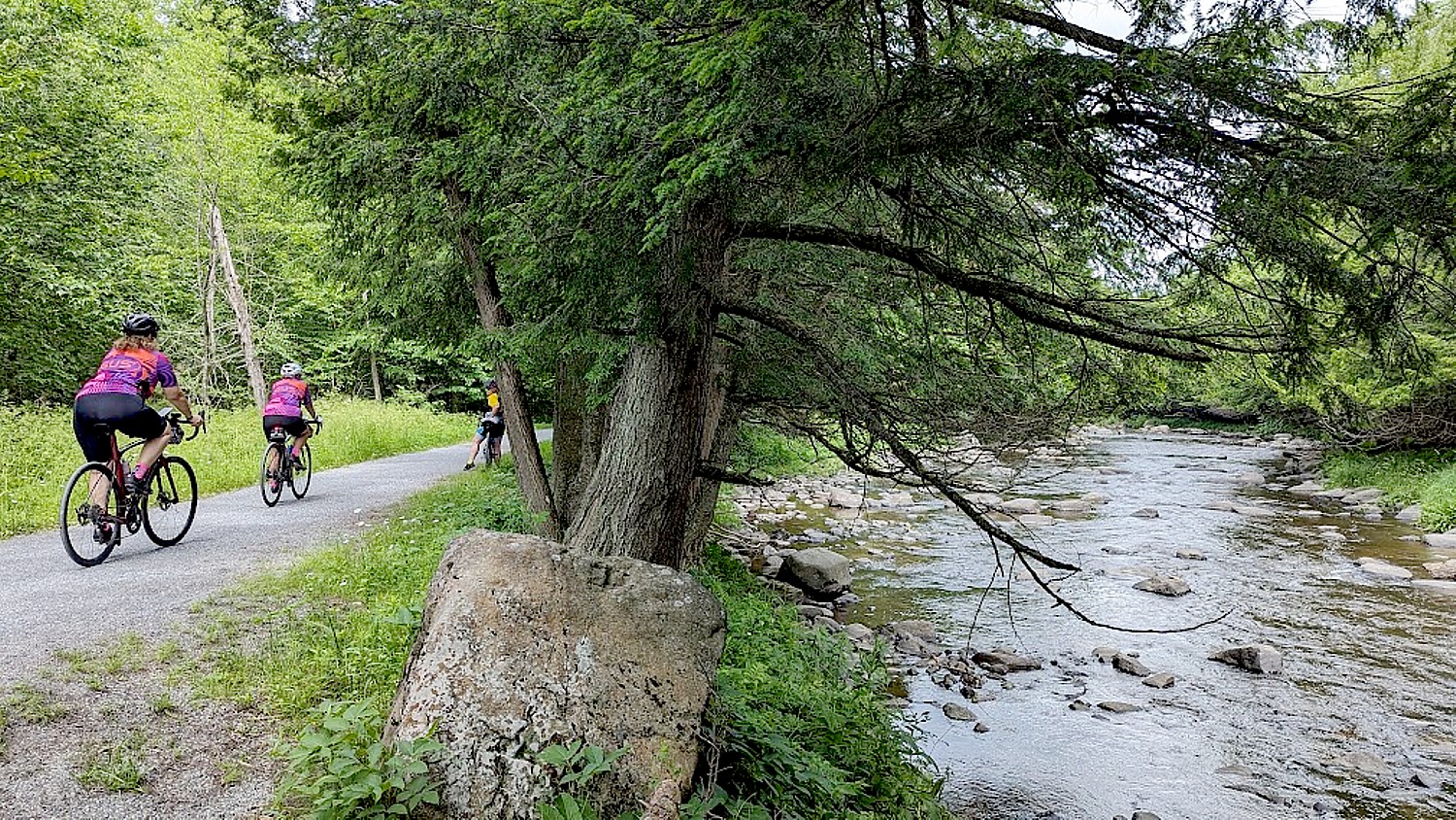
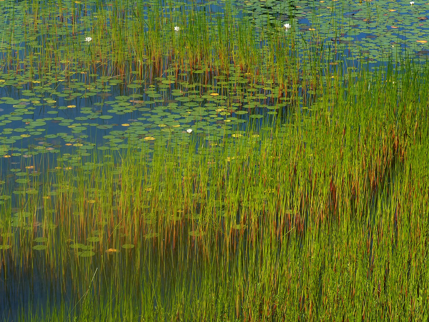
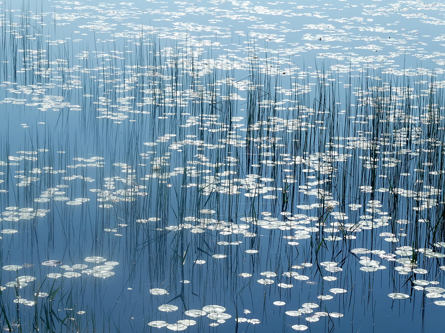
We cycle along an enchanting stretch of wetlands – part of the trail is a berm with marsh on either side. We have been told “just after Metamonk Village (mile 20) to be on lookout for moose.

I spot an osprey with fish in its claws so heavy it couldn’t take flight so dropped it; a black furry creature (otter? muskrat?) carrying what looked like a mouse dashes across the path; a flock of blue heron, a family of deer, and finally, when we are almost at the end of the trail, we come upon a moose with her baby.

DAY 6: 16 miles to the end of the Trail of the Coeur d’Alenes
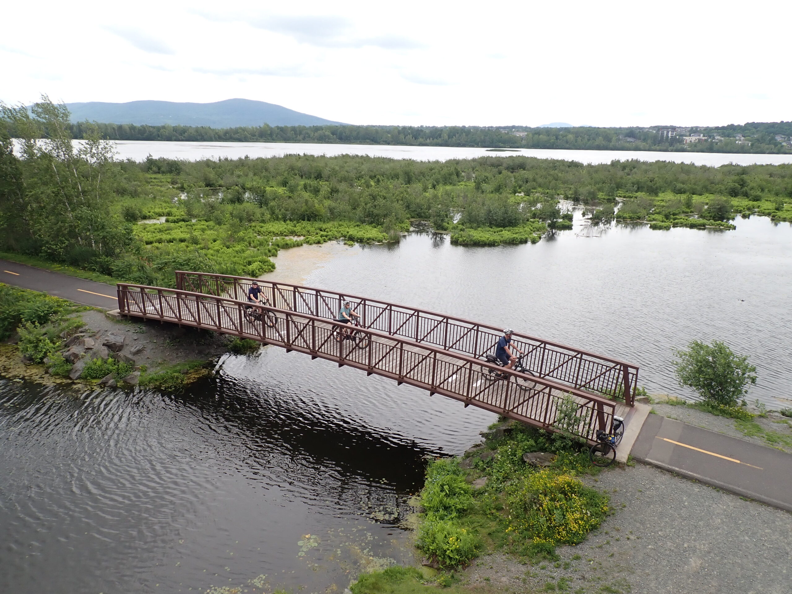
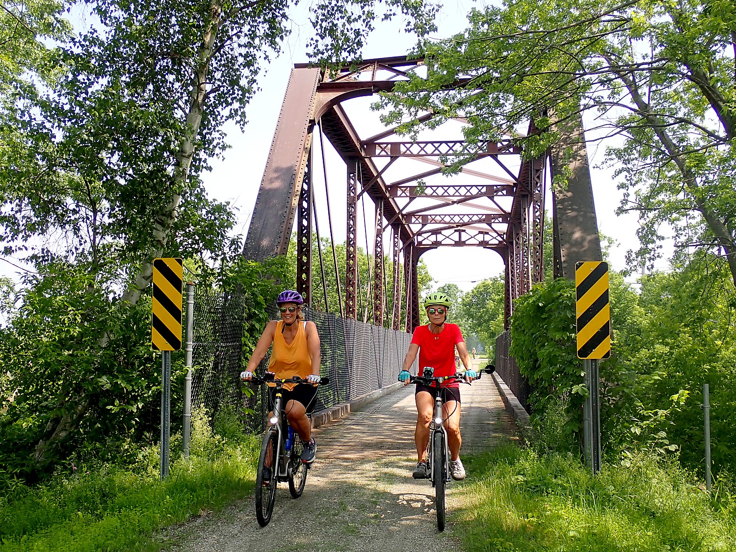
Day 6 is our final day of riding. We pack up our luggage, have breakfast, and shuttle to Harrison, the point on the trail where we ended yesterday’s ride. Today, we bike the last section, 16 miles, through a series of chained lakes to the end of the Trail of the Coeur d’Alenes. It is glorious.

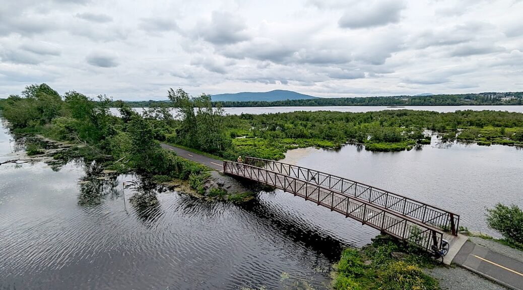
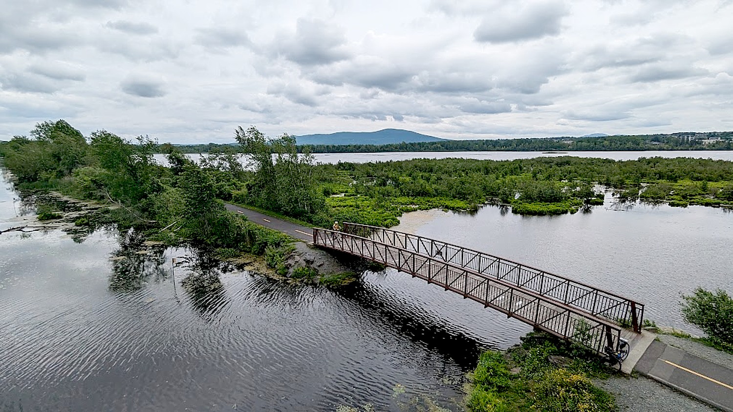
It’s a perfect day – sunshine, cool temp (60 degrees), a bit of a headwind. We ride along the Lake Coeur d’Alene, then cross over the Chatcolet Bridge, a really interesting bridge which was once a swinging trestle (the challenge is to ride over the hump), then into the forest where we climb for about seven miles, through the Coeur D’Alene reservation, to finish at the trail’s end, at a moving Indian Warriors and Veterans Memorial.

Here we have a picnic lunch, feeling extremely satisfied and happy, before we pack into the van again for an hour-drive back at Spokane Airport or downtown.

Discovery Bicycle Tours Merges into Active Adventures

Discovery Bicycle Tours has just joined Austin Adventures, a Montana-based North America National Parks small group tour company, under the umbrella ownership of Active Adventures, a New Zealand-based small group adventure travel company. These companies primarily offer hiking and multi-sport options, and just like Discovery Bicycle Tours, focus on small groups (averaging 12 guests).
Austin Adventures is a Montana-based North American National Parks expert offering small group tours with personal touches, flexible options to do as much or as little as you want, and “wow” moments. Austin Adventures also specializes in family and multi-generational tours across North America and around the globe.
Active Adventures, based in New Zealand, has expanded over the past 30 years to South and Central America, Europe, the Himalayas and Africa. They offer small group, inspiring bucket-list adventures worldwide, with a mix of activities ranging from hiking, biking, and kayaking to snorkeling and caving. Each trip is designed to be flexible, so if you’re a little short on time or you’d prefer to skip an activity, they can alter the itinerary to suit you.
The merger means that the teams behind Discovery Bicycle Tours, Active Adventures, and Austin Adventures are located around the world in five countries, 15 cities, and even a campervan.
“Across the three brands, we’ve been running tours in North America for 77 years, Europe for 50 years, New Zealand for 25 years, South and Central America for 20 years, the Himalayas for 14 years, and Africa for five years. That’s a world of knowledgeand deep local experience across our brands,” Scott Cone, Discovery’s owner, stated.
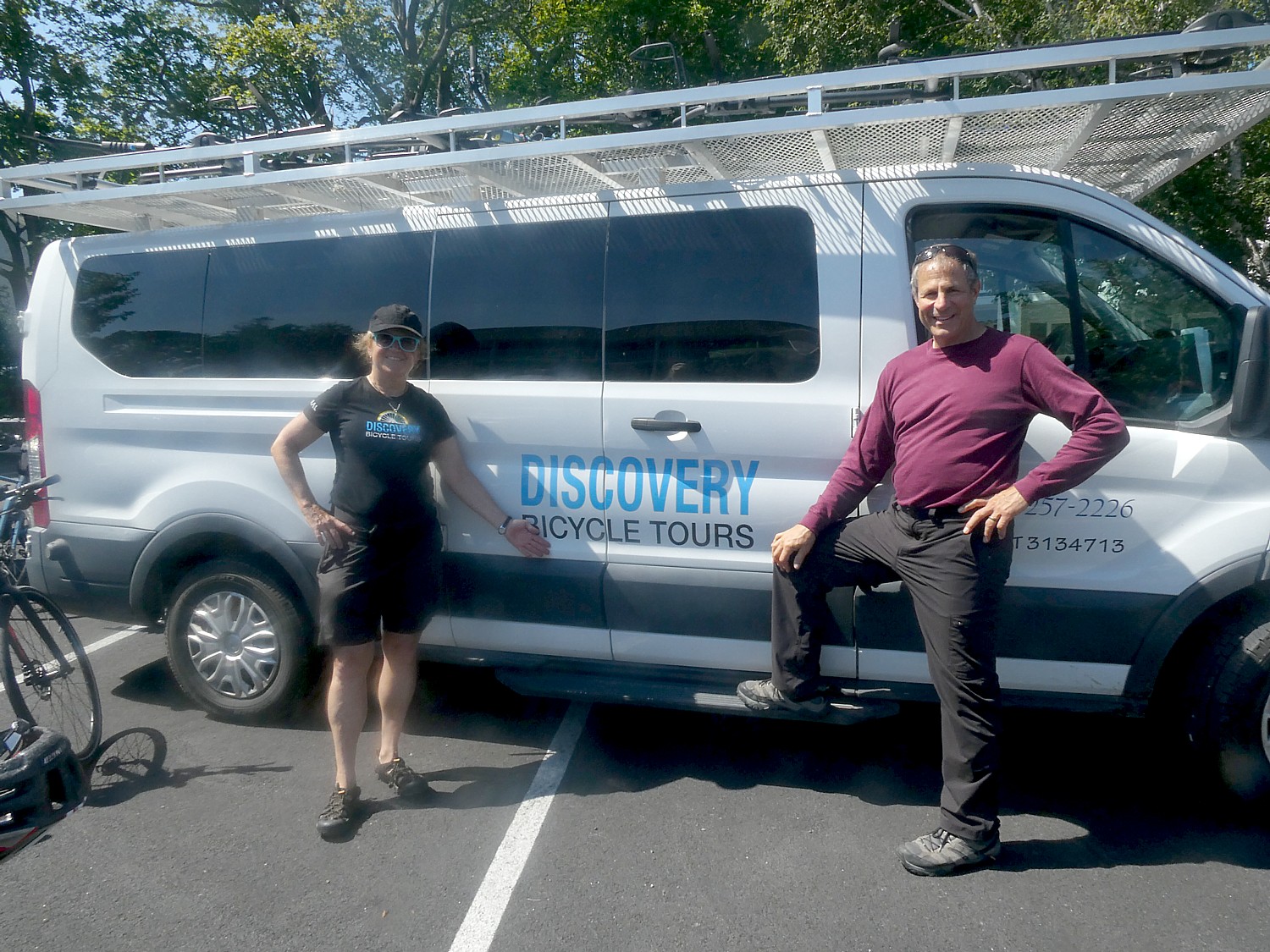
Discovery Bicycle Tours, 800-257-2226, www.discoverybicycletours.com
See also:
Six Days Cycling Idaho Trails with Discovery Bicycle Tours
__________________
© 2025 Travel Features Syndicate, a division of Workstyles, Inc. All rights reserved. Visit goingplacesfarandnear.com and travelwritersmagazine.com/TravelFeaturesSyndicate/. Blogging at goingplacesnearandfar.wordpress.com and moralcompasstravel.info. Visit instagram.com/going_places_far_and_near and instagram.com/bigbackpacktraveler/ Send comments or questions to FamTravLtr@aol.com. Bluesky: @newsphotosfeatures.bsky.social X: @TravelFeatures Threads: @news_and_photo_features ‘Like’ us at facebook.com/NewsPhotoFeatures