By Karen Rubin, with Dave E. Leiberman, Laini Miranda & Eric Leiberman
Travel Features Syndicate, www.goingplacesfarandnear.com
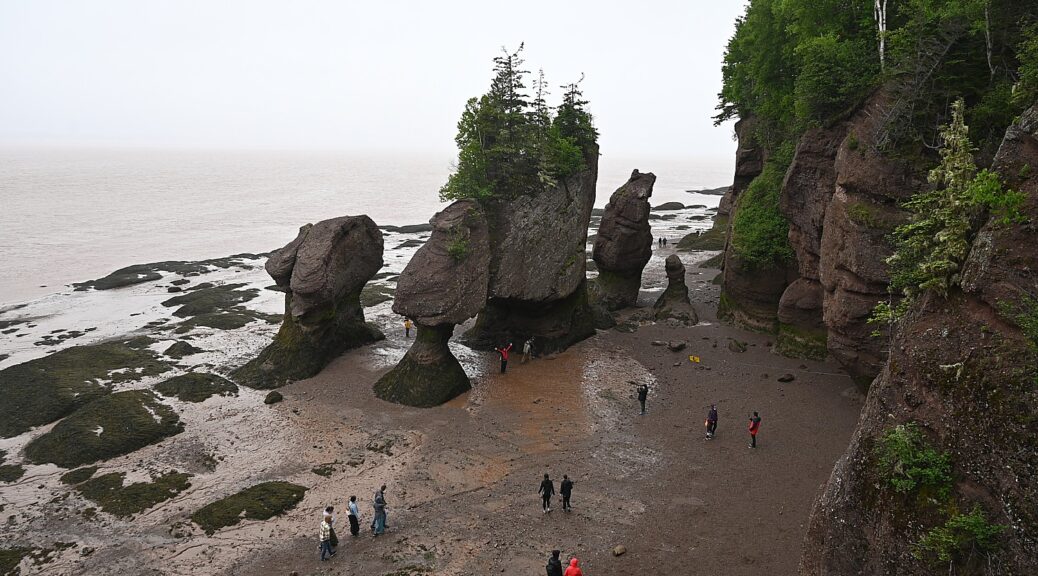
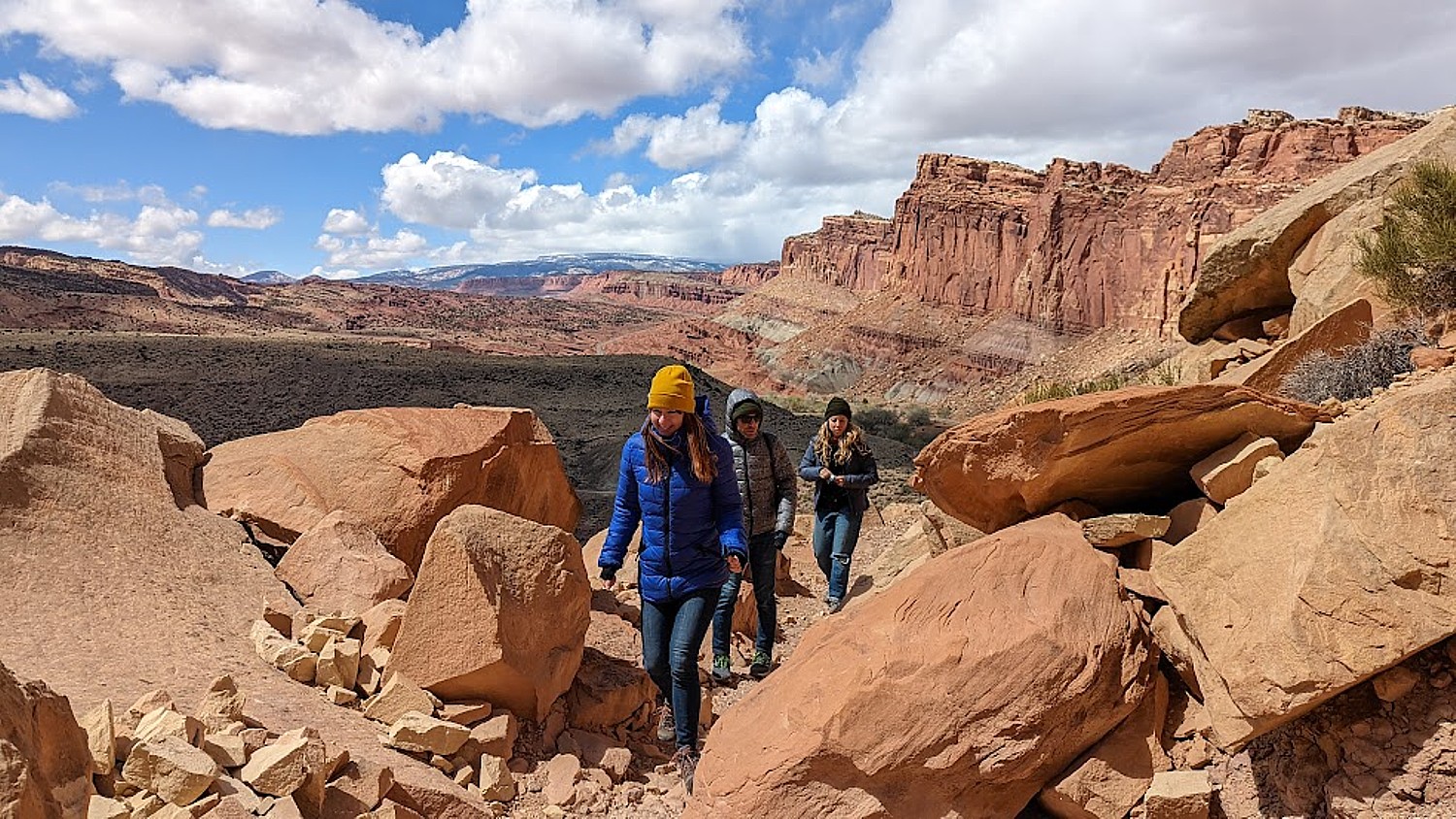
What does it mean that the Bay of Fundy “has the highest tides in the world?” Until you actually walk on the ocean floor one hour, then scurry back to kayak through openings in the sea stacks which have turned into sea caves the next, it is hard to wrap your head around. And no place demonstrates the drama, the power of the “highest tides in the world” as at Hopewell Rocks, the stellar attraction of New Brunswick, Canada.
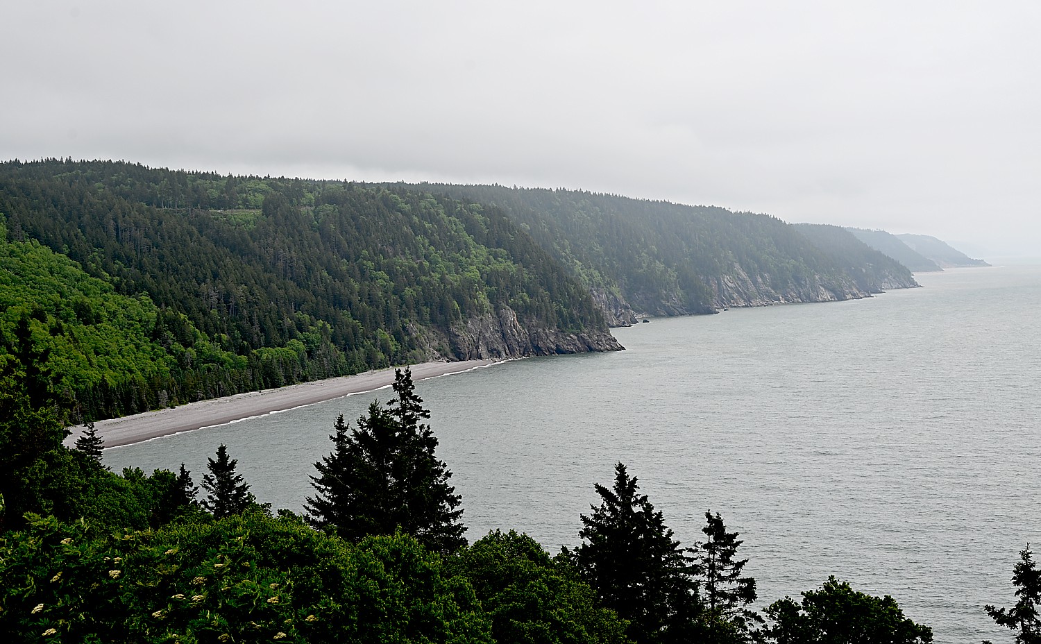
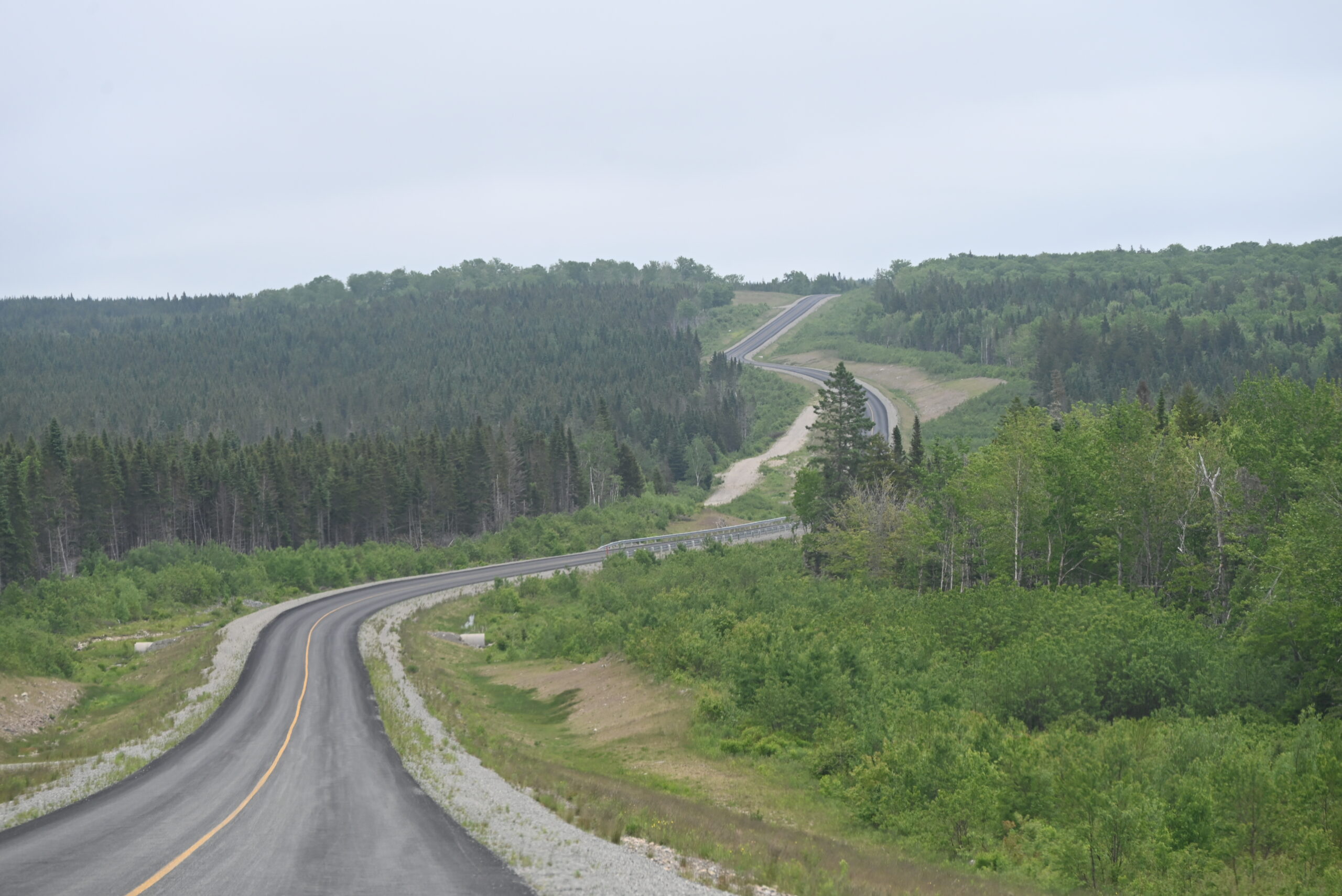
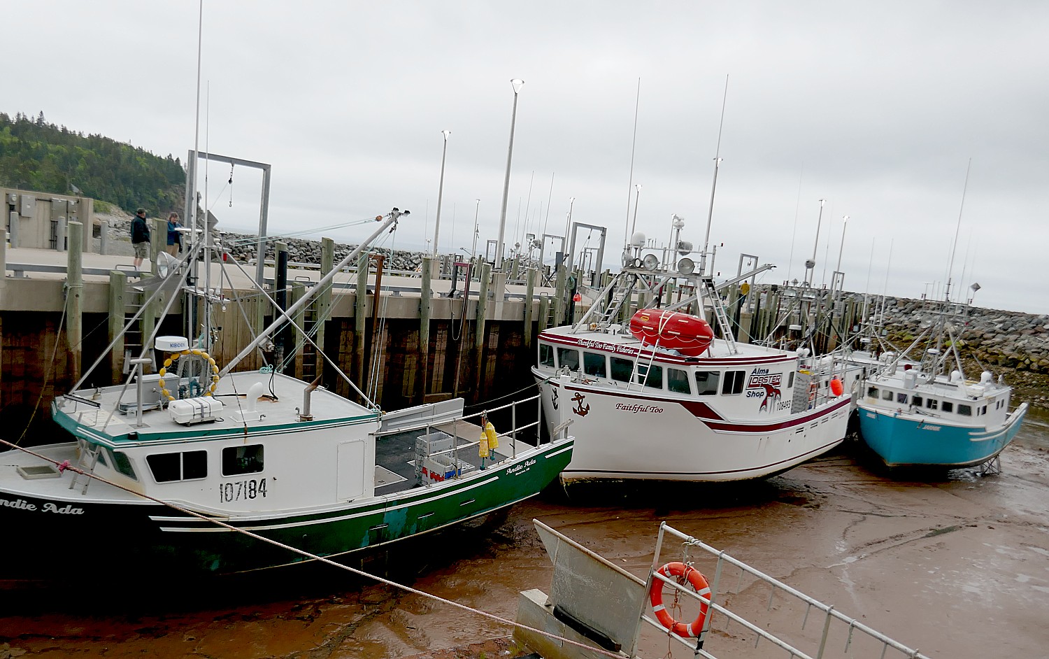
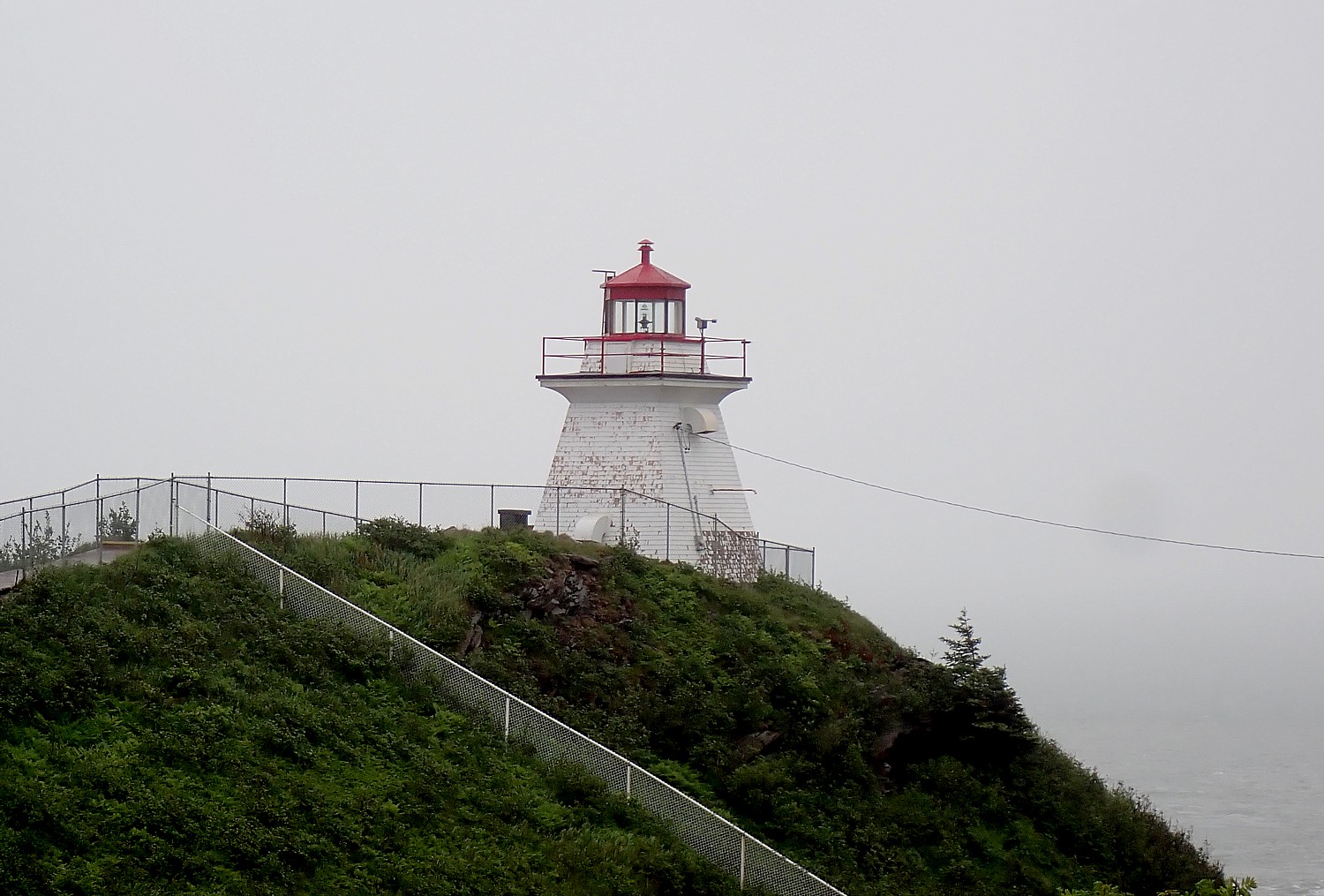
We have been traveling along the Bay of Fundy Coastal Road, starting in St. Andrews, where the incoming tide nipped at our feet as we stood on breakers; we had to dash off Ministers Island before the sand bridge was submerged; we saw the force of the tide at the Reversing Falls in St. John, boats laying on the ocean floor until the tide returns in Alma; and at Cape Enrage, experienced once again how a rocky beach where we had just been walking, seemingly moments later, was totally submerged. Now at Hopewell Rocks, we see more intensely, what “highest tide in the world” means.
Depending on where you are on the Bay, the water level difference between low and high tide can be anywhere from 35 to 56 feet (equivalent to a five-storey building). Compare this to the most parts of world, where the average tidal water differential is 6-8 feet. In Hopewell Rocks, the tidal change is 46 to 56 feet, depending upon the season, moon phase, sun and stars, even asteroids, and stormy weather.
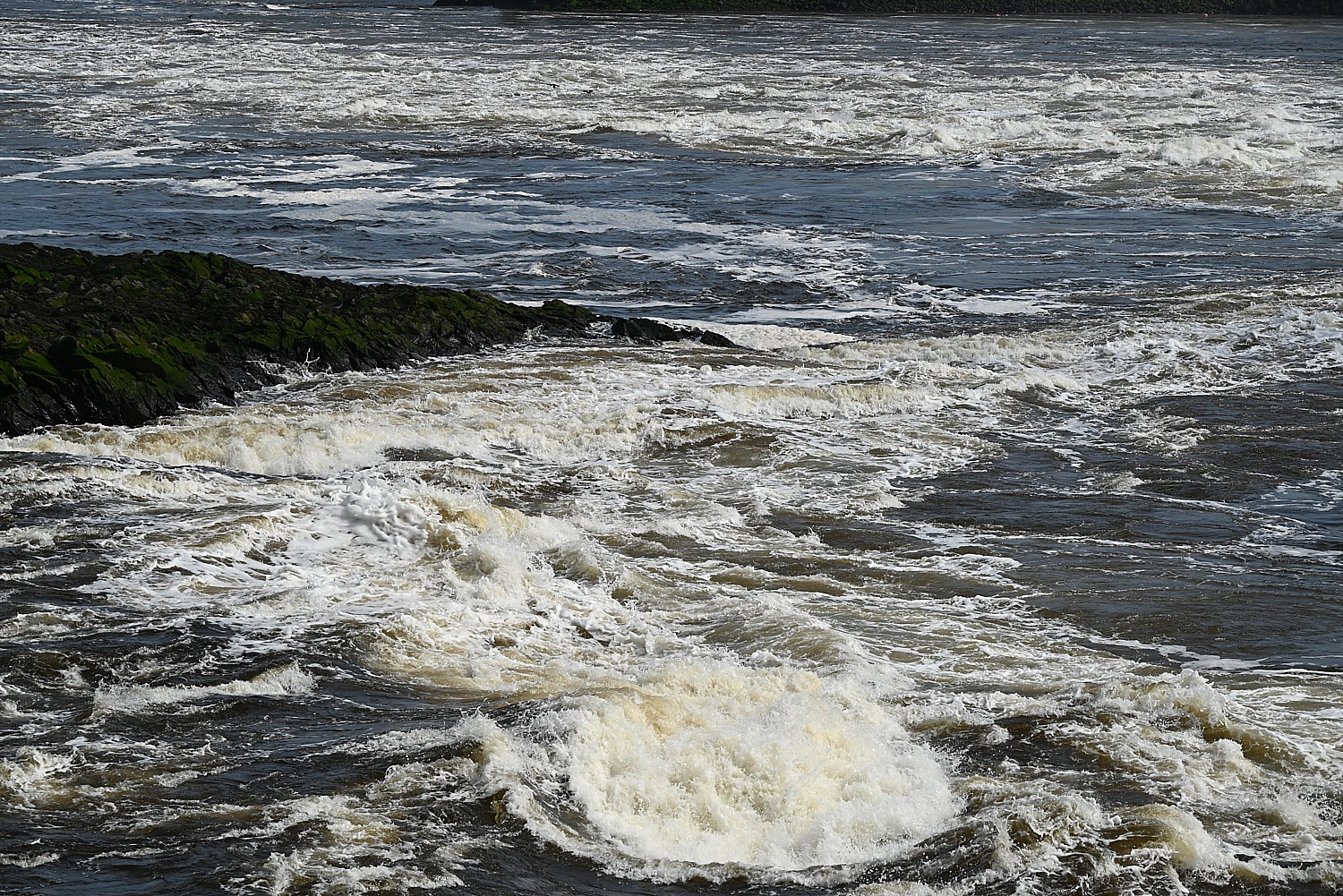
There are two high tides and two low tides every day in the Bay of Fundy, with a tide change every six hours and 12 minutes. It doesn’t come in like a tsunami, but flows in, rising one foot every five minutes which is faster than you realize. Consider this: A six-foot person standing on the beach with the water just up to the edge of their toes will be completely under water 30 minutes later.
The amount of water – 160 million tons – that comes into the Bay of Fundy for one tide change is enough to fill the Grand Canyon twice. With two tide changes each day, that is enough water coming into the bay each day to fill the Grand Canyon four times.
Or consider this: the amount of water that comes into the Bay of Fundy for each tide change is equal to what flows over Niagara Falls in one year and nine months.
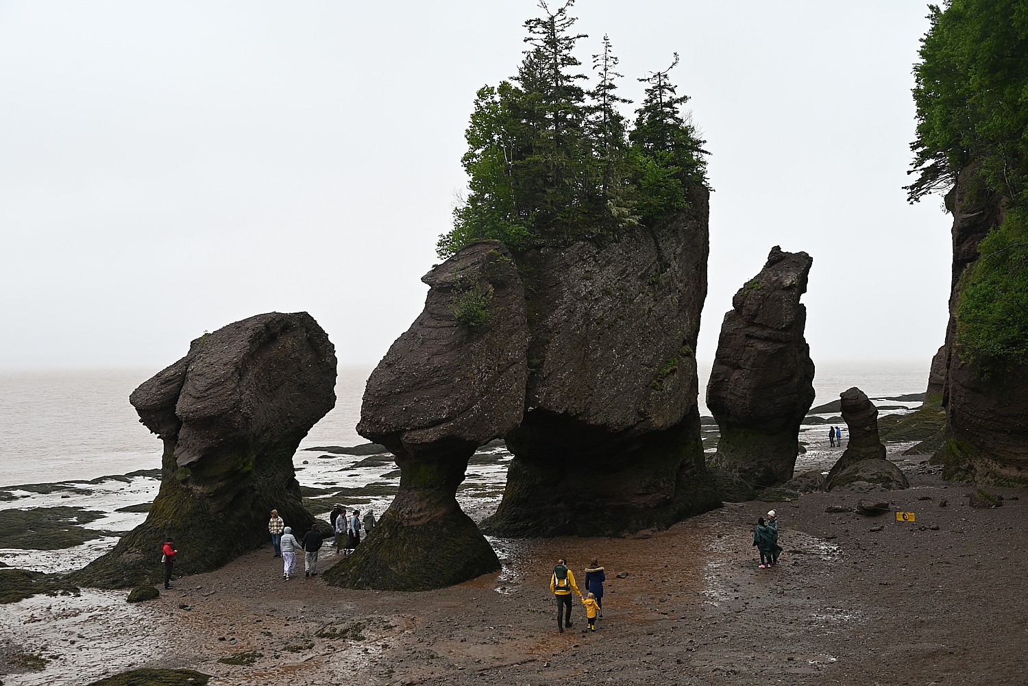
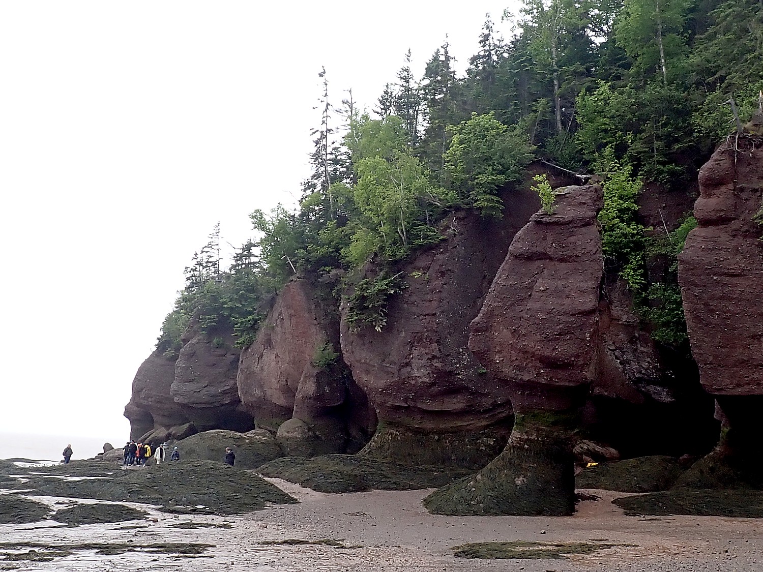
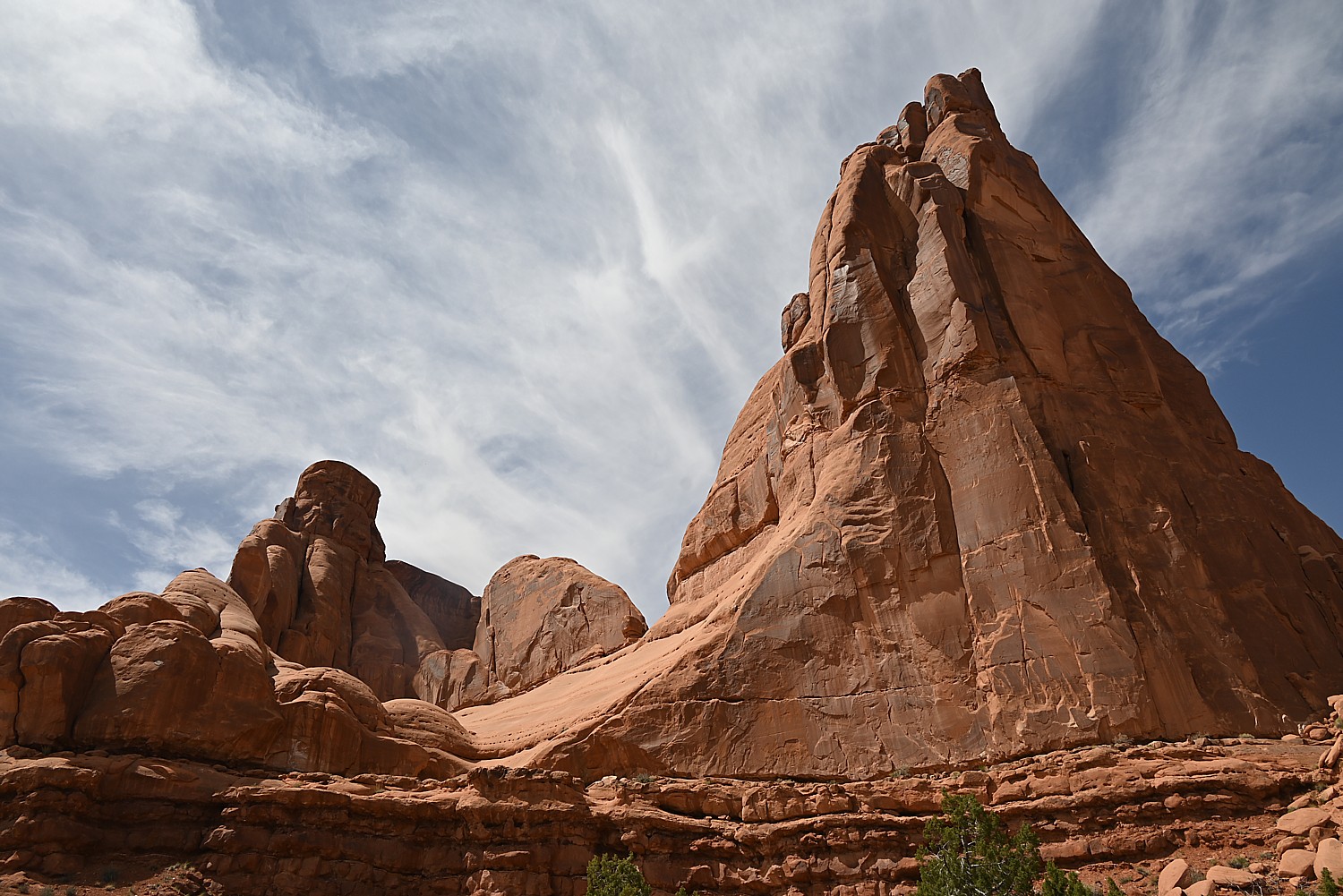
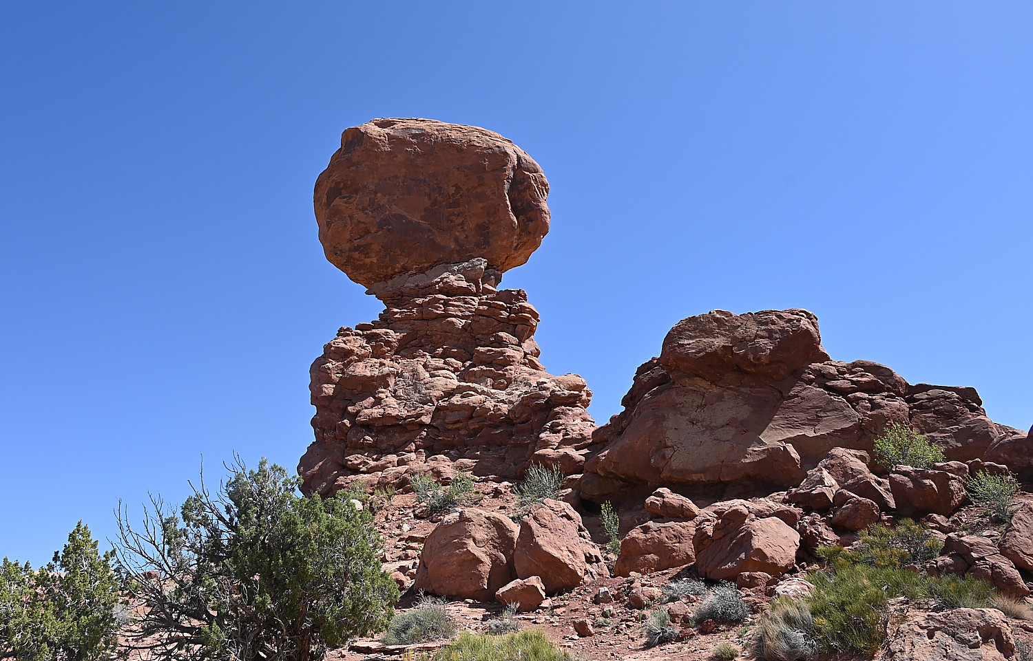
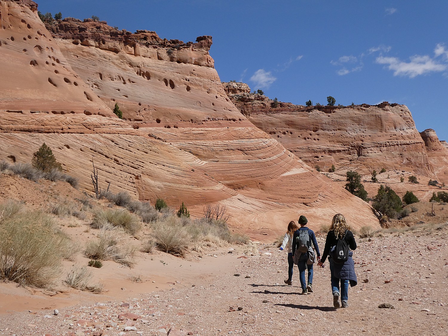
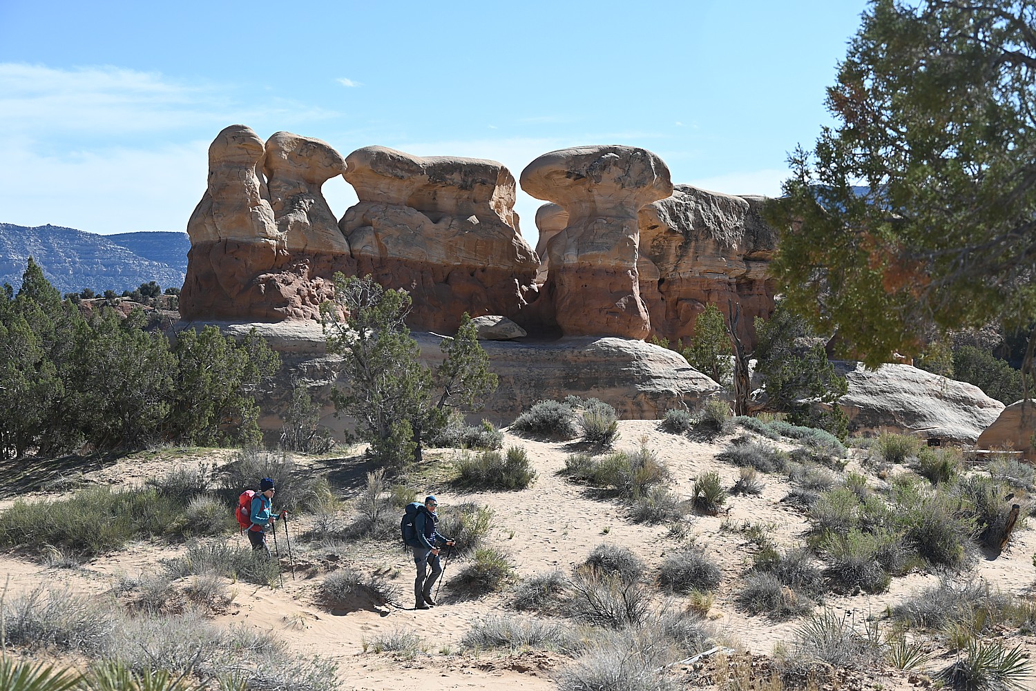
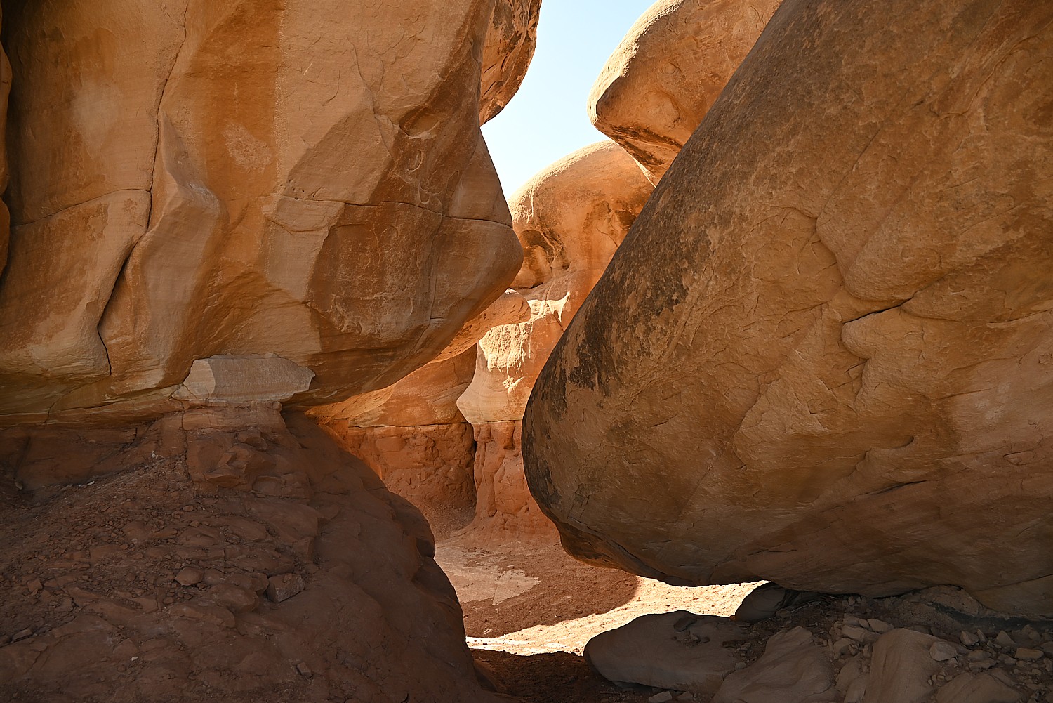
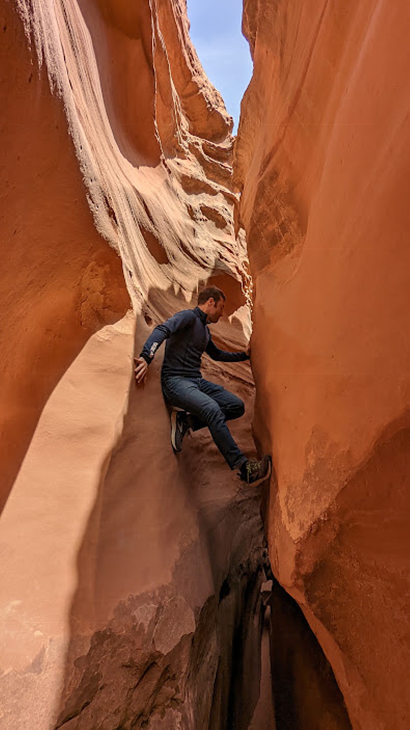
With this in mind, we know we have to arrive at Hopewell Rocks by 8:50 am, a 35 minute drive from Alma, in order to have time to literally walk on the ocean floor amid the famous “Flowerpot Rocks” – enormous free-standing rock formations or sea stacks that have trees growing on top – and walk through the openings that have been carved out, before the tide comes in. (“Ripley’s Believe It Or Not dubbed them the Flowerpot Rocks,” Neil Hodge at New Brunswick Tourism, who organized our itinerary, said.)
We meet Johnathan, our guide for an interpretive tour, who takes us for a brief visit in the Interpretive Center which explains the geologic phenomenon, but only briefly before we go down to the ocean floor. We will only have access until 11:15 am.
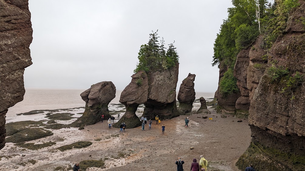
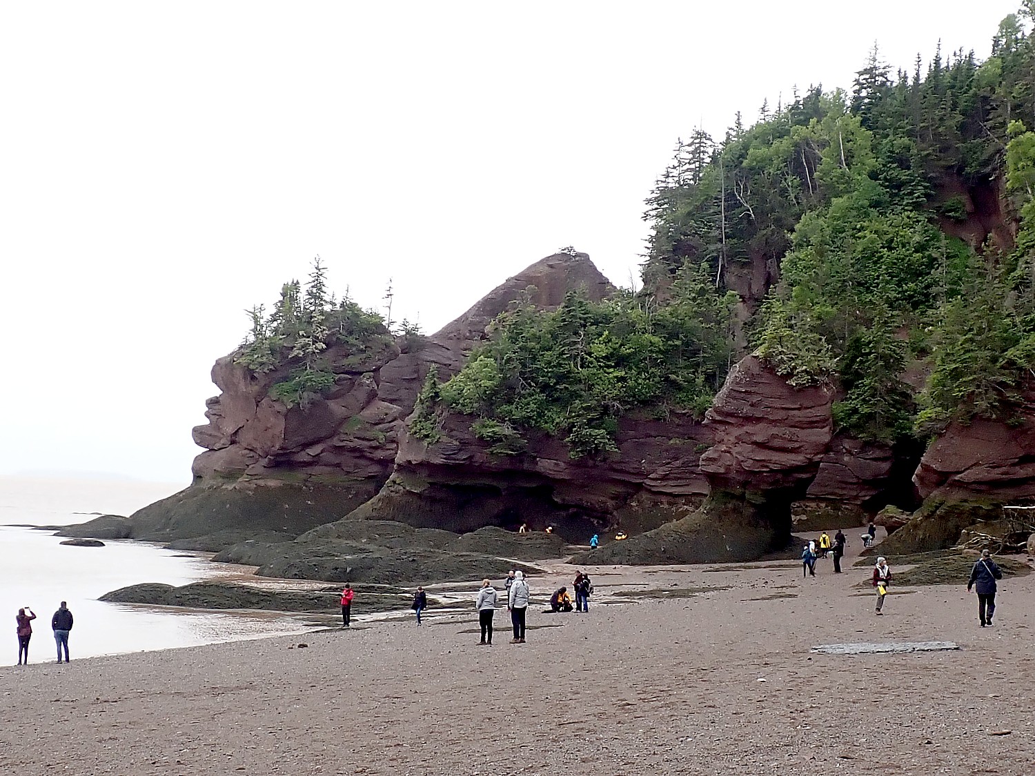
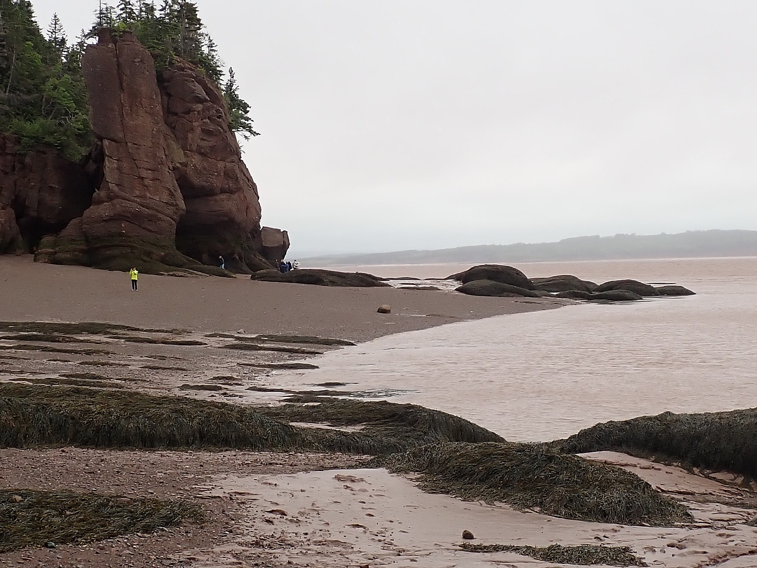
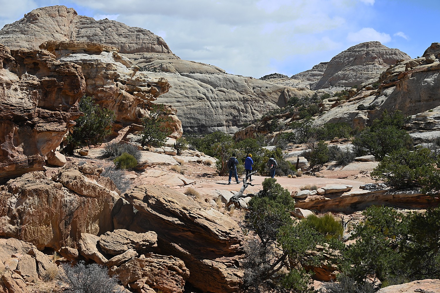
The first view, from the top of the staircase is dramatic – you see these famous Flowerpot Rocks and sea cliffs, with the people looking so tiny. The beach extends for almost 2 miles.
“The Bay of Fundy is an anomaly – a series of coincidences that have added up to create our miracle,” Johnathan tells us. “The Bay is the perfect length, width, size and shape for this to work, and a perfect storm in the last Ice Age. The glacier formed rock and when it melted, 160 billion tons of salt glacier filled the Bay and over time, pushed the rocks together (conglomerate).
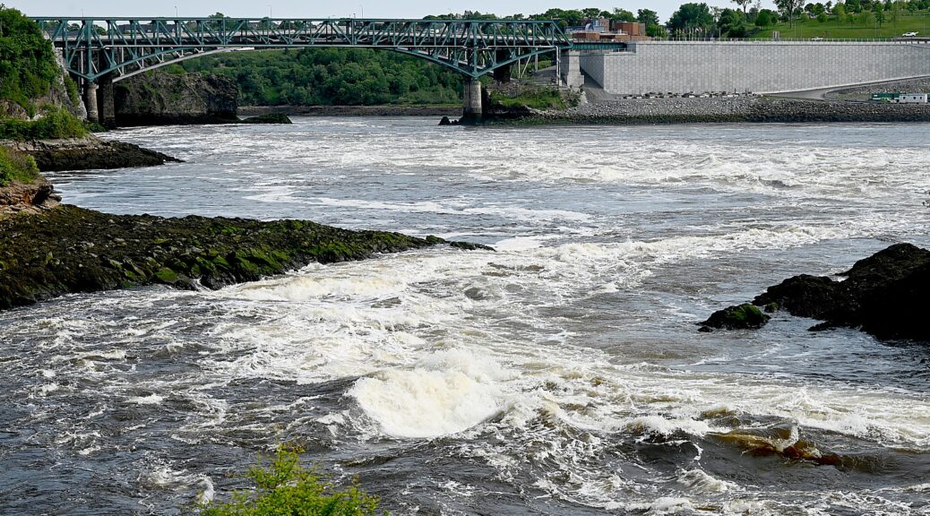
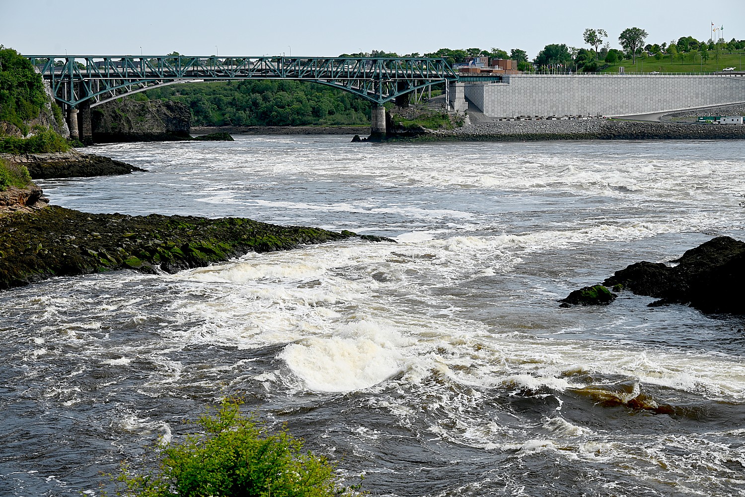
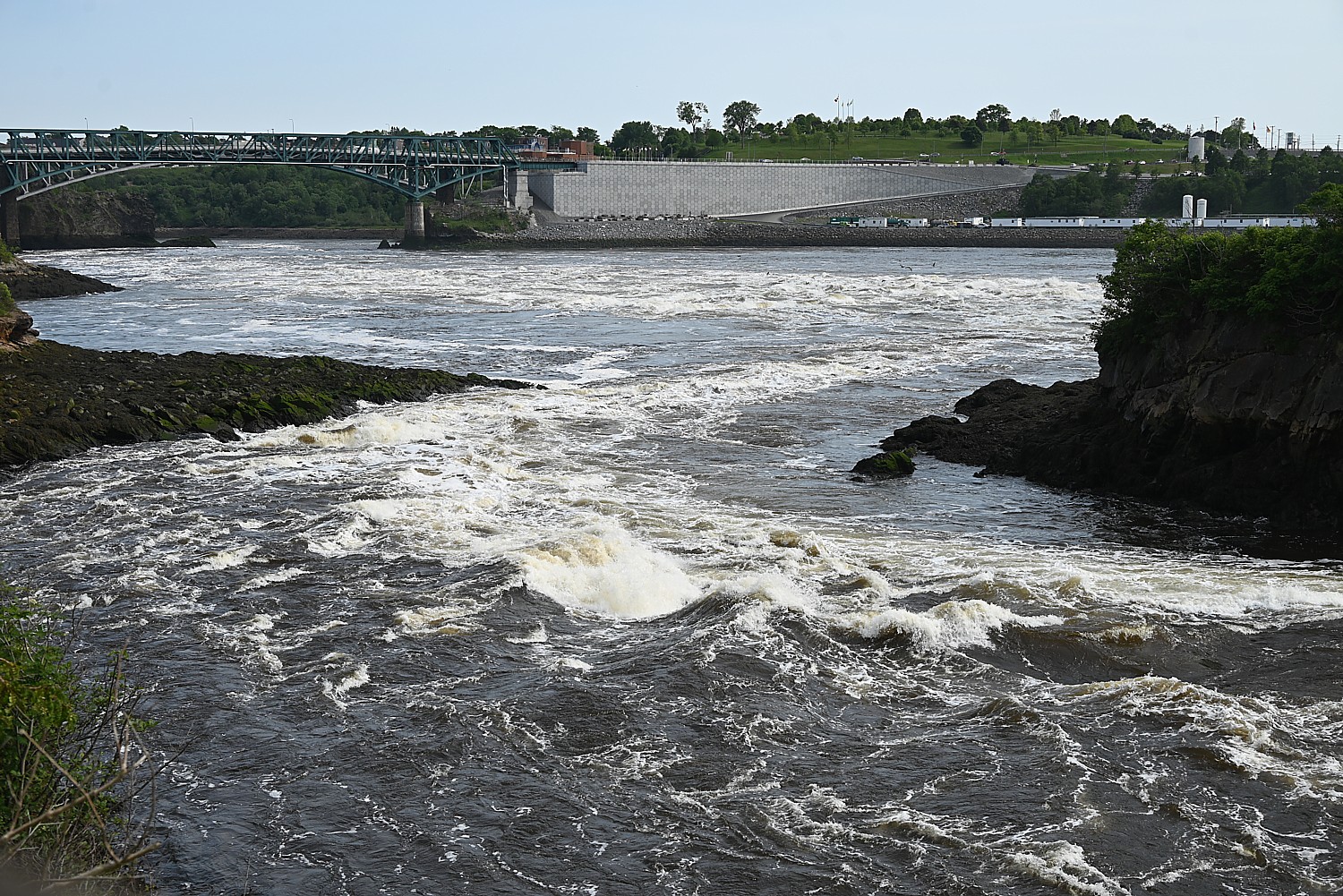
The shape and length of the Bay (the Bay extends 200 miles) is like a bathtub – the water in the bay doesn’t have enough time to level out with the ocean – the only place to move is up. Other places have a slack tide – when the highest and lowest tide stops. [We saw this in St. John, at the Reversing Falls, where the slack tide would last 20 minutes] Here, there is never slack – a micro second at the highest point when the tide pushes back against the ocean.”
You can walk on the beach 3 hours before low tide and three hours after (tourists think they can only cross at one time). The tide flows in at the rate one foot per minute, horizontally, one foot per 4-7 minutes vertically, up to a height averaging 46.2 ft., and as high as 56 ft.
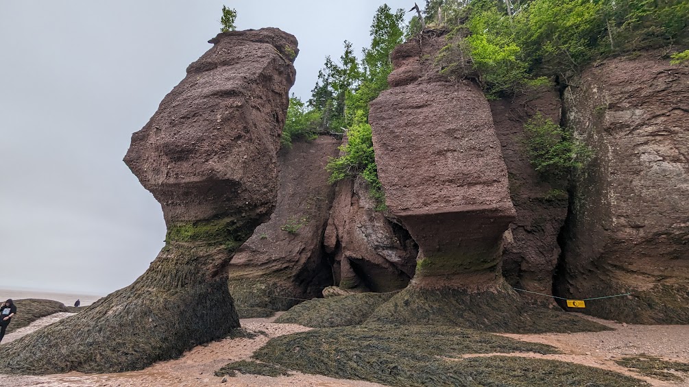
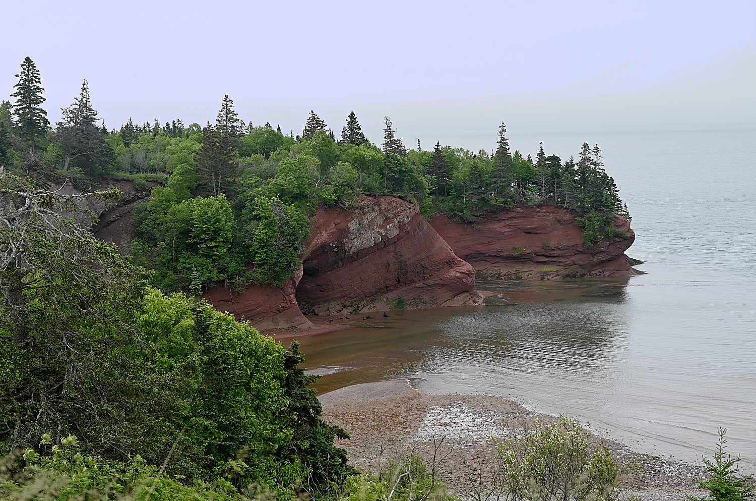
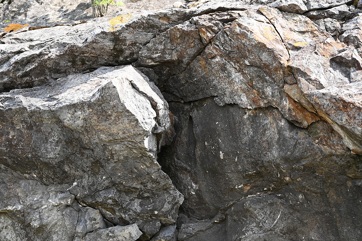
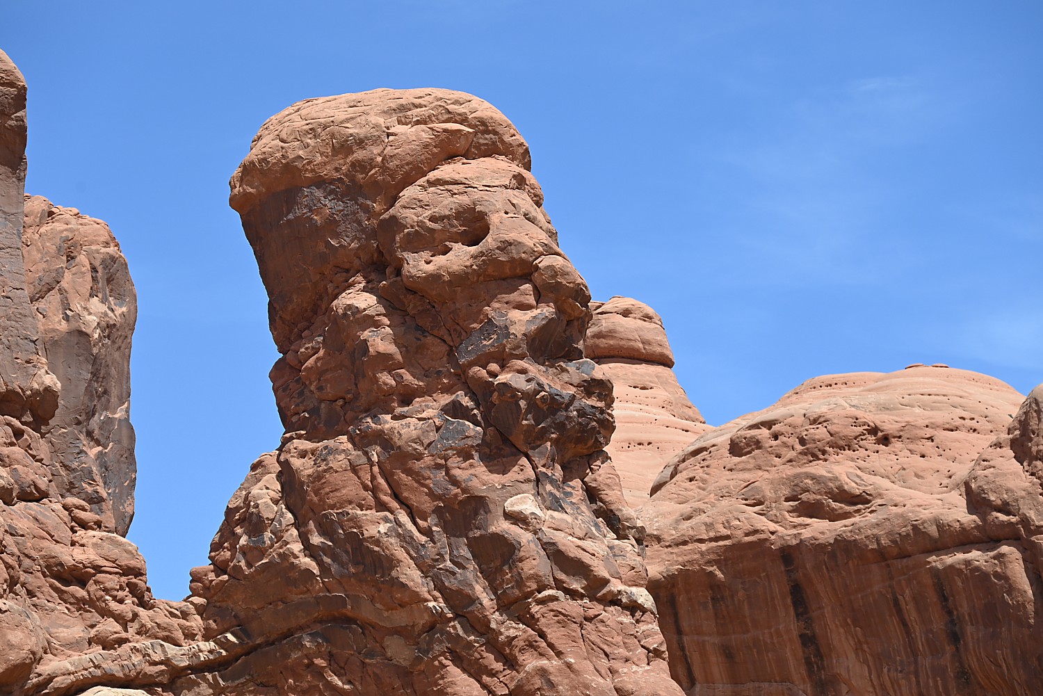
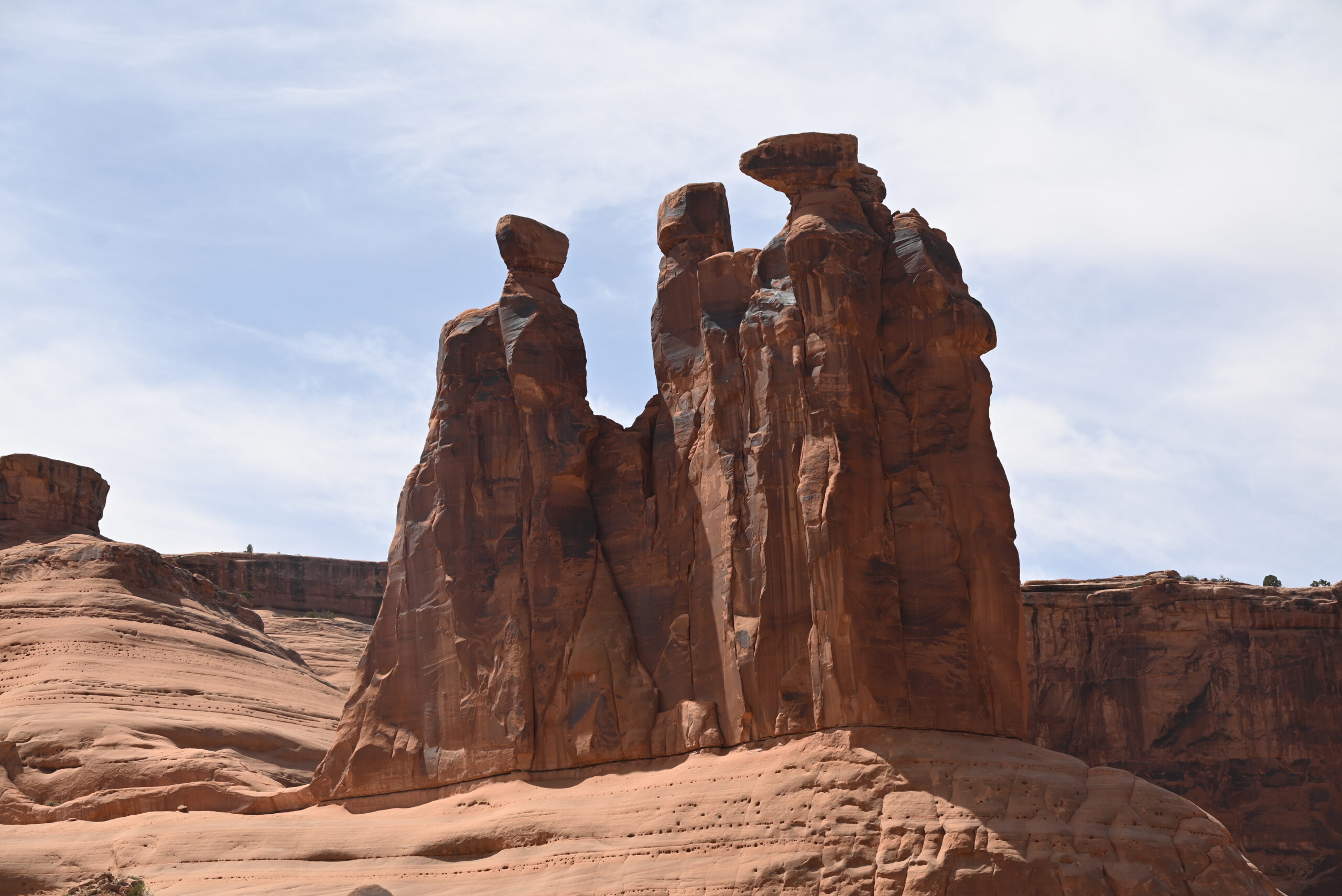
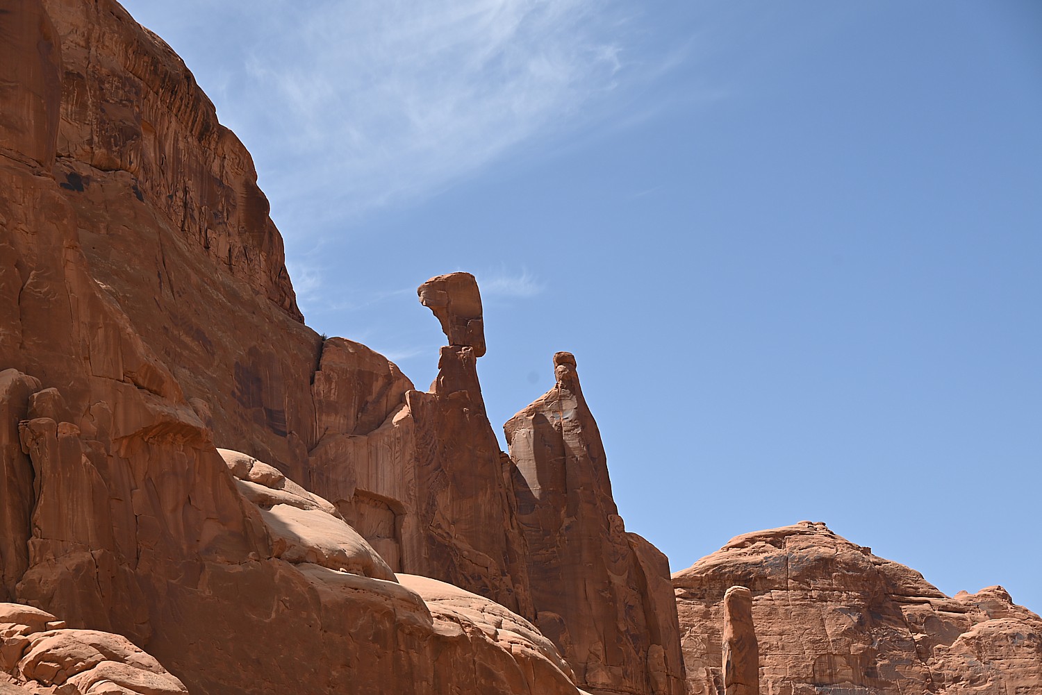
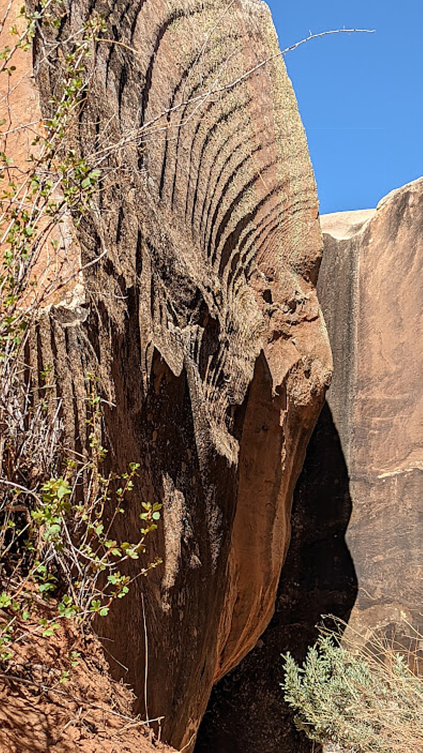
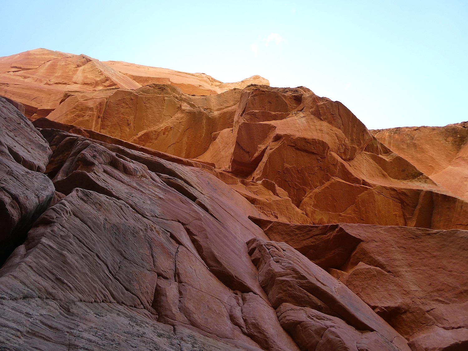
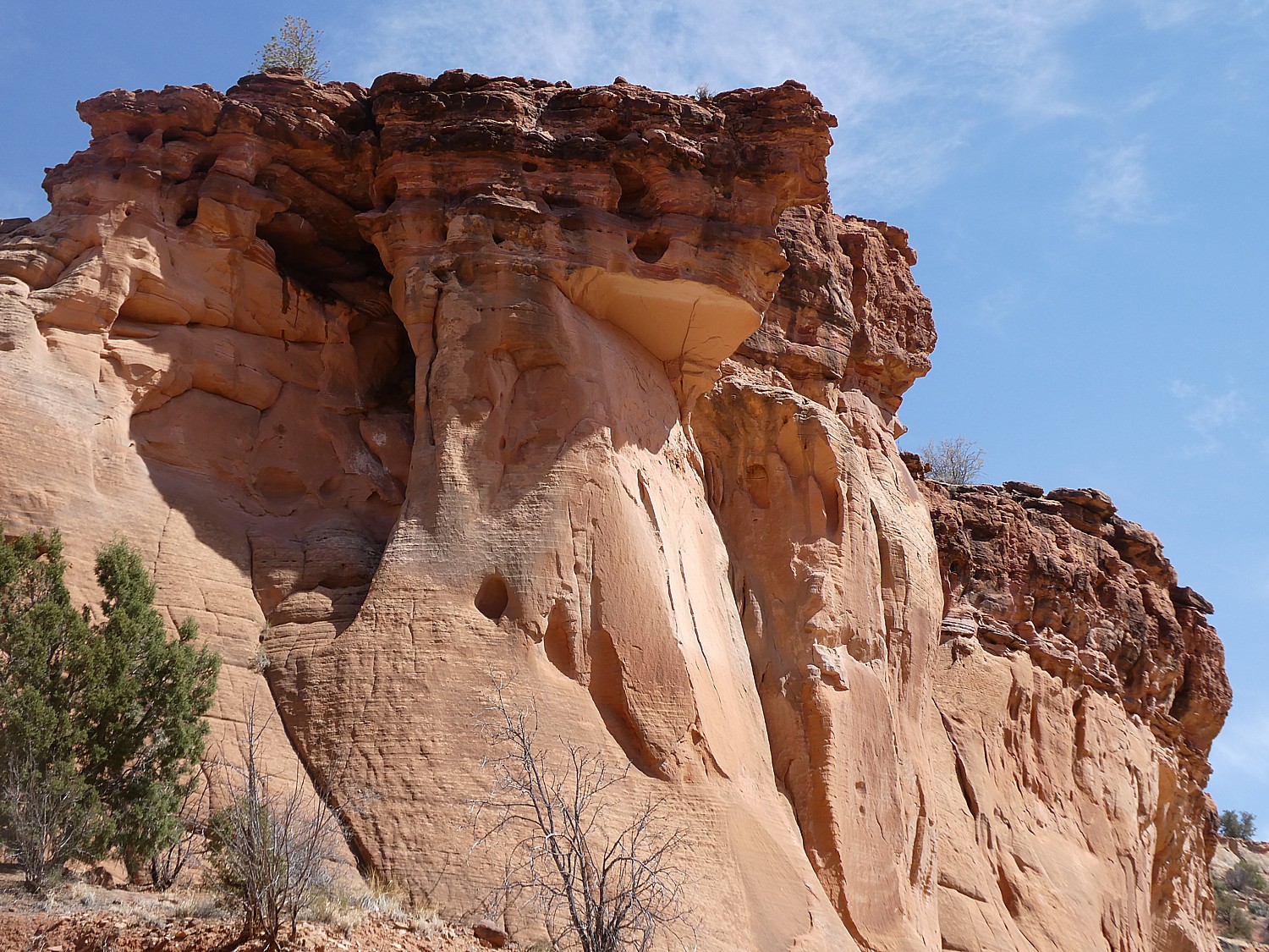
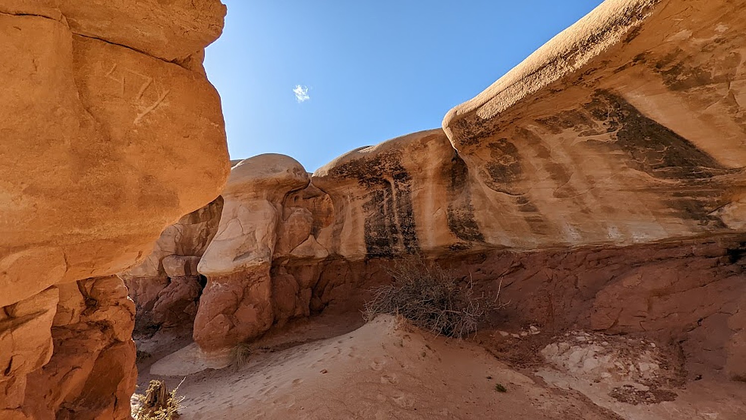
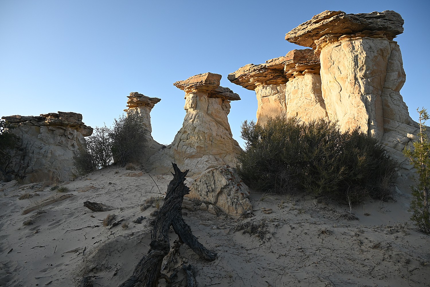
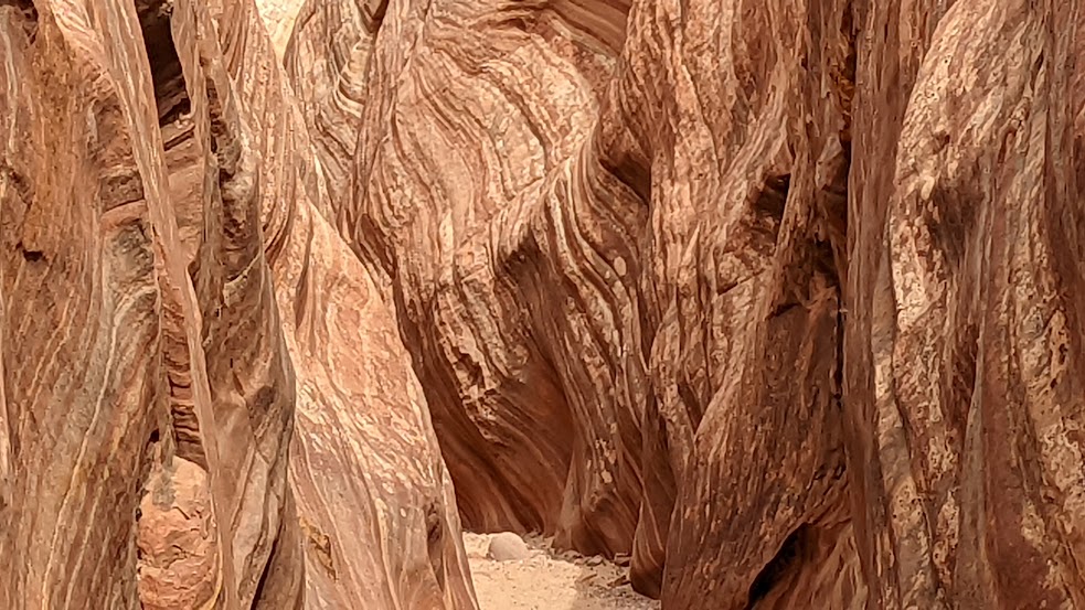
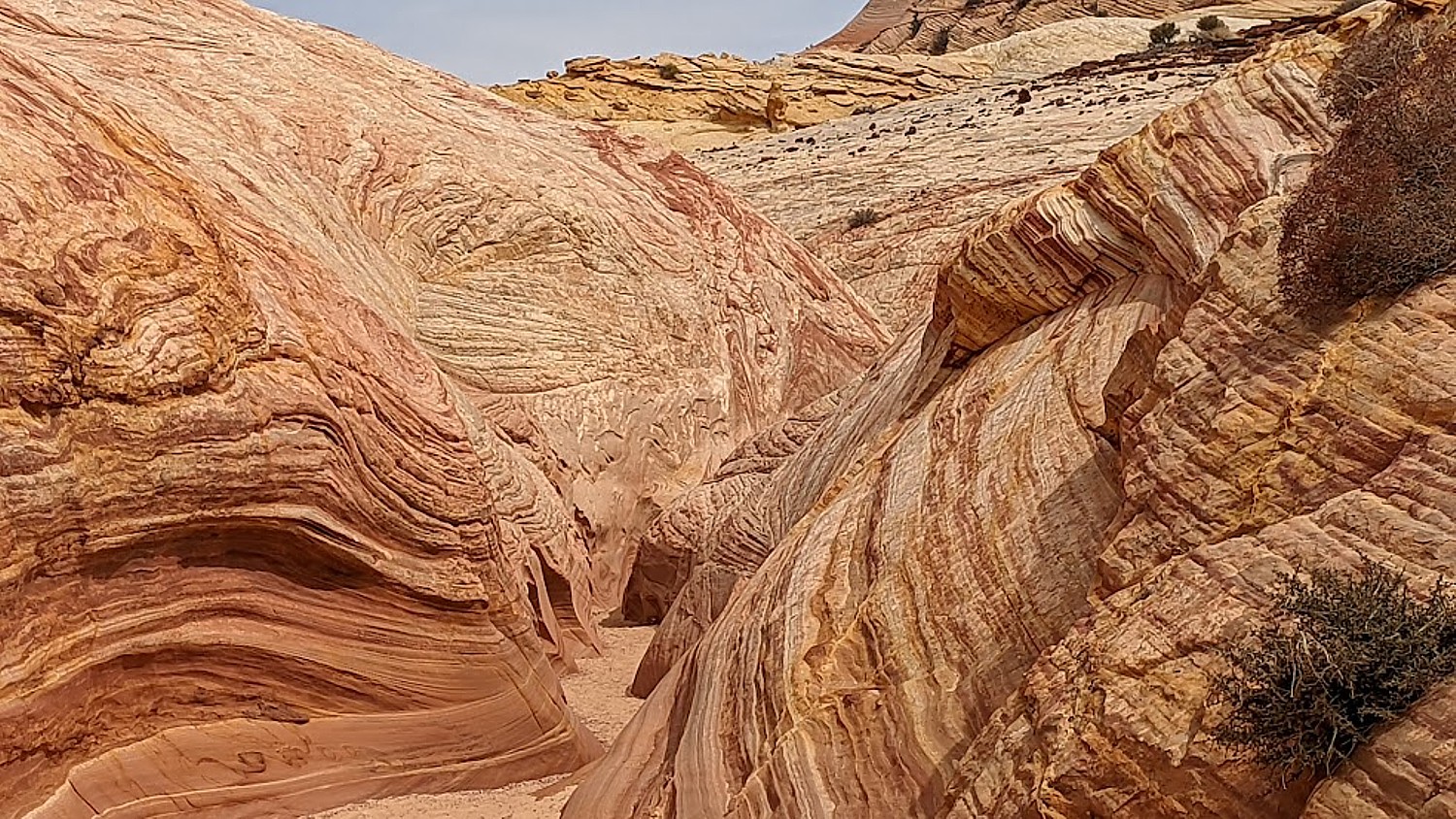
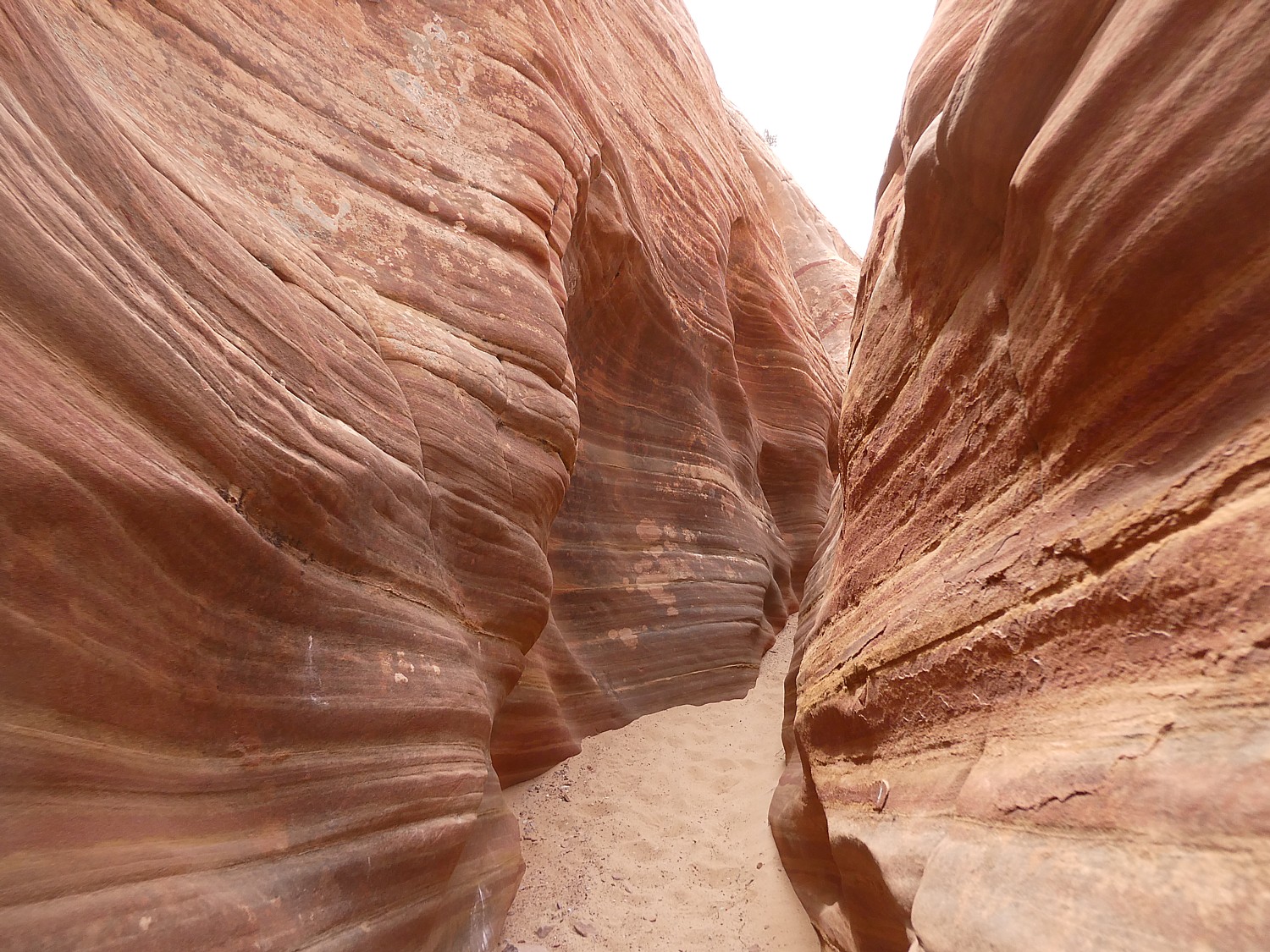
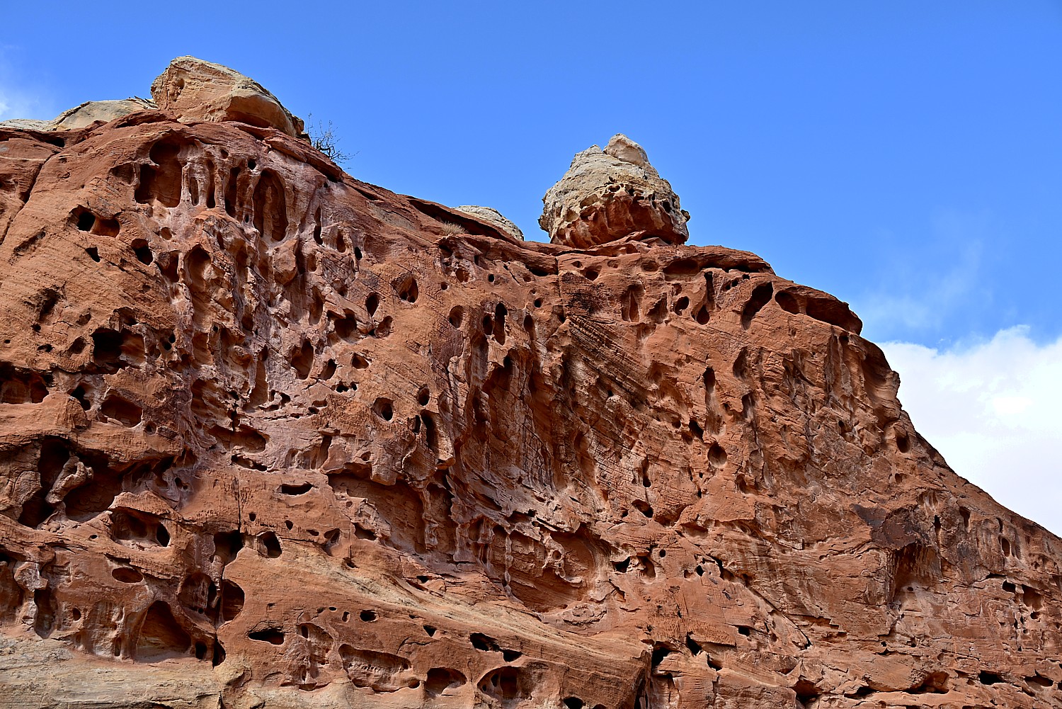
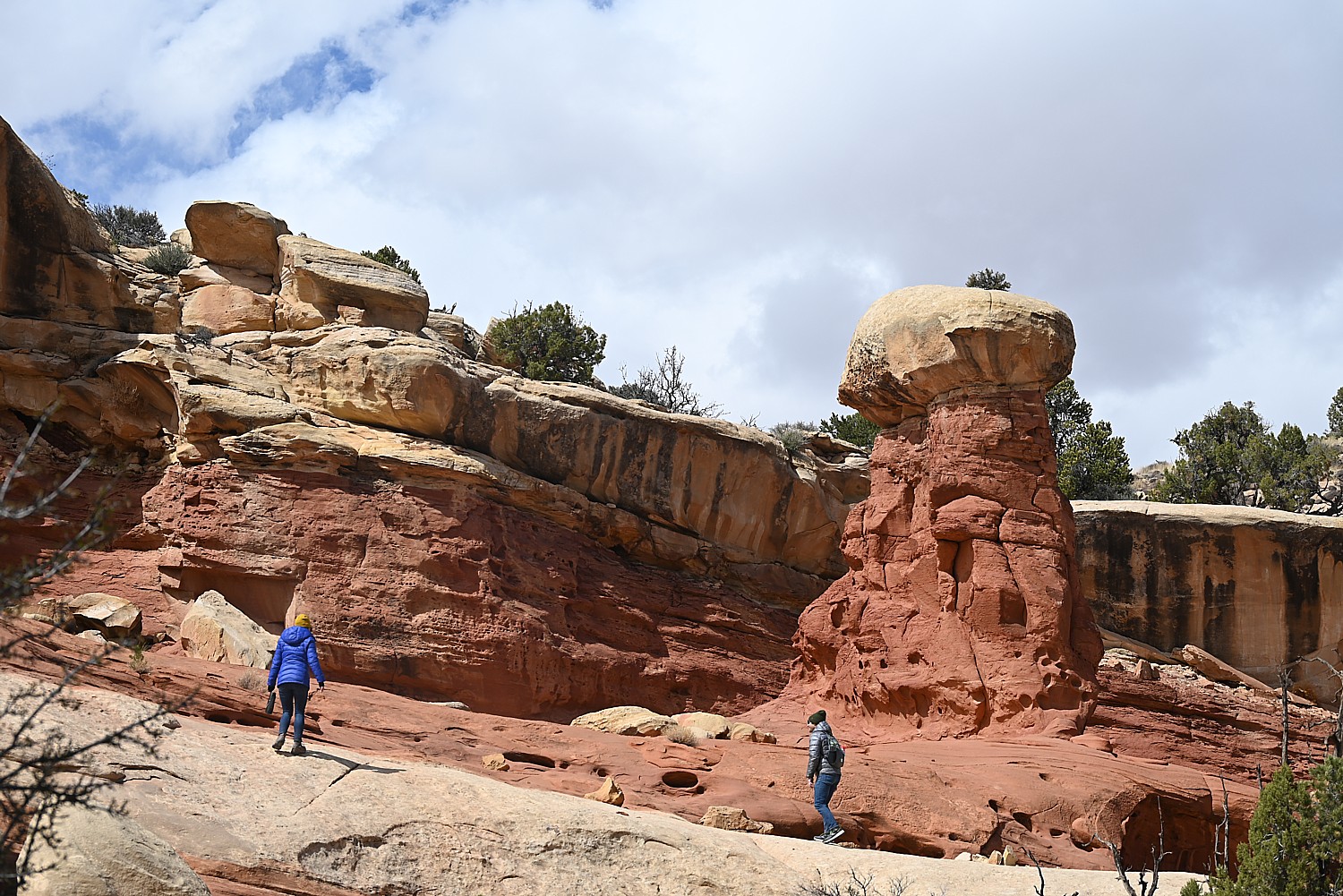
The interesting shapes of the sea stacks are because they consist of compacted sedimentary conglomerate that erodes at different rates. “What is inside the conglomerate weighs more on the right than on the left,” which is why it can collapse.
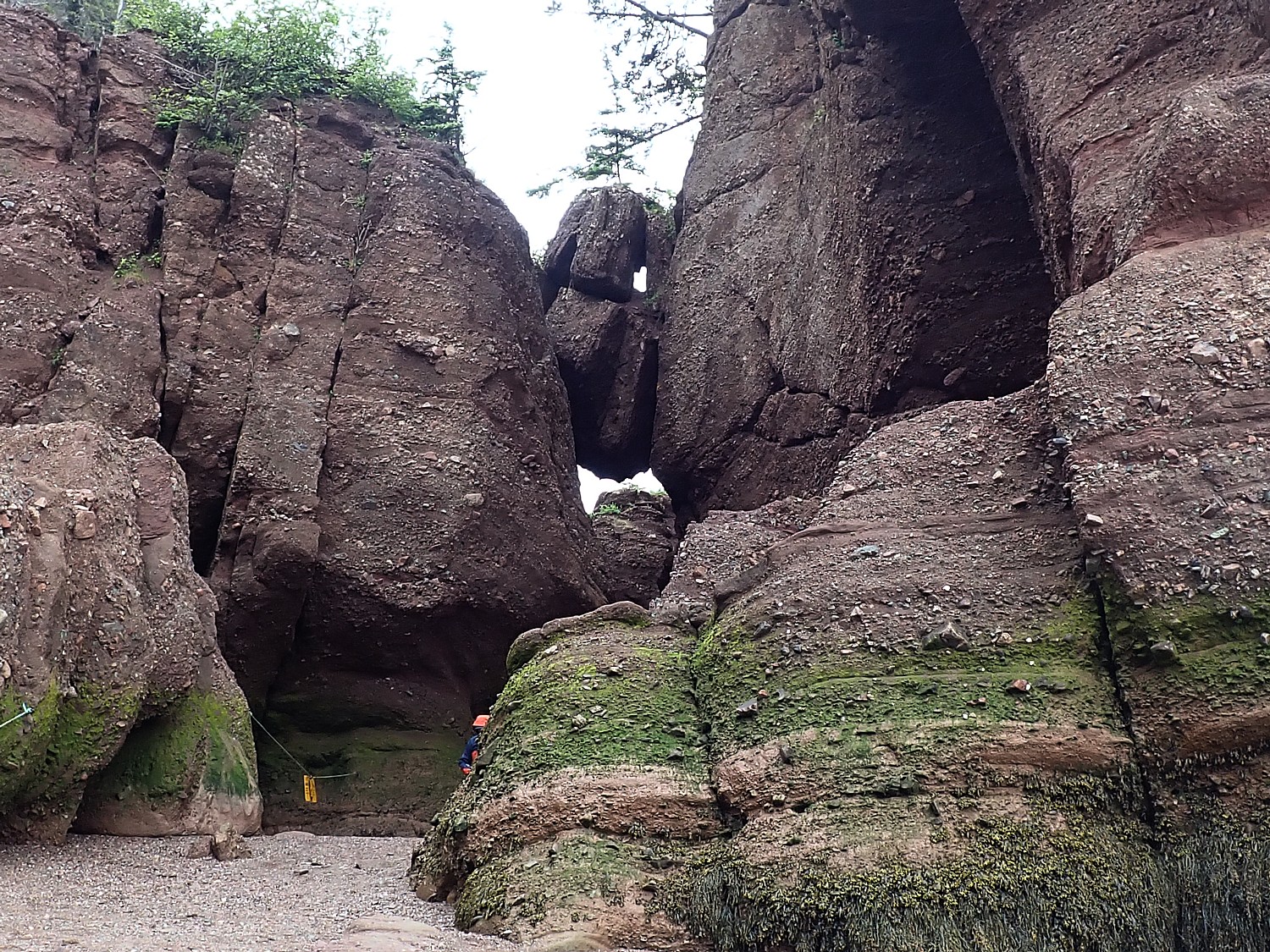
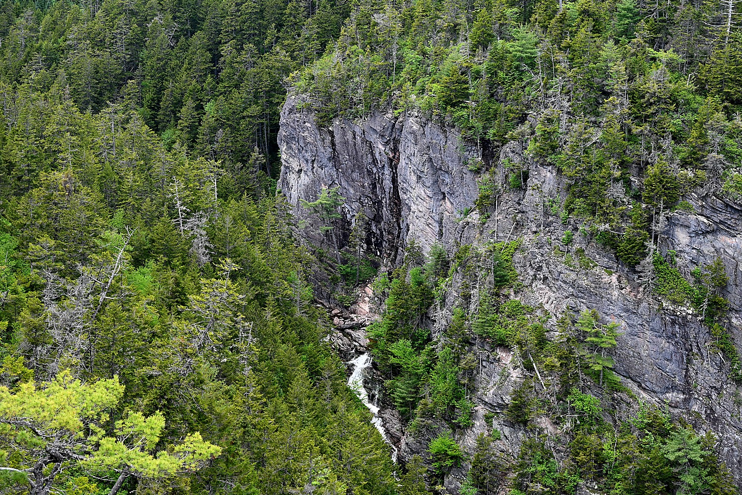
The daily ebb and flow, rush and crush of all this water carves the sea stacks and many seem to precariously balance, likely to collapse within only a matter of a decade or two. Imagine that. These rock formations have been carved over millennia and may be at the end of their life. In fact, we see the crumbling, the cliff face collapse – areas are sectioned off. Geology is an ongoing process, and it isn’t necessarily slow motion over millennia, millions or billions of years, but in a moment.
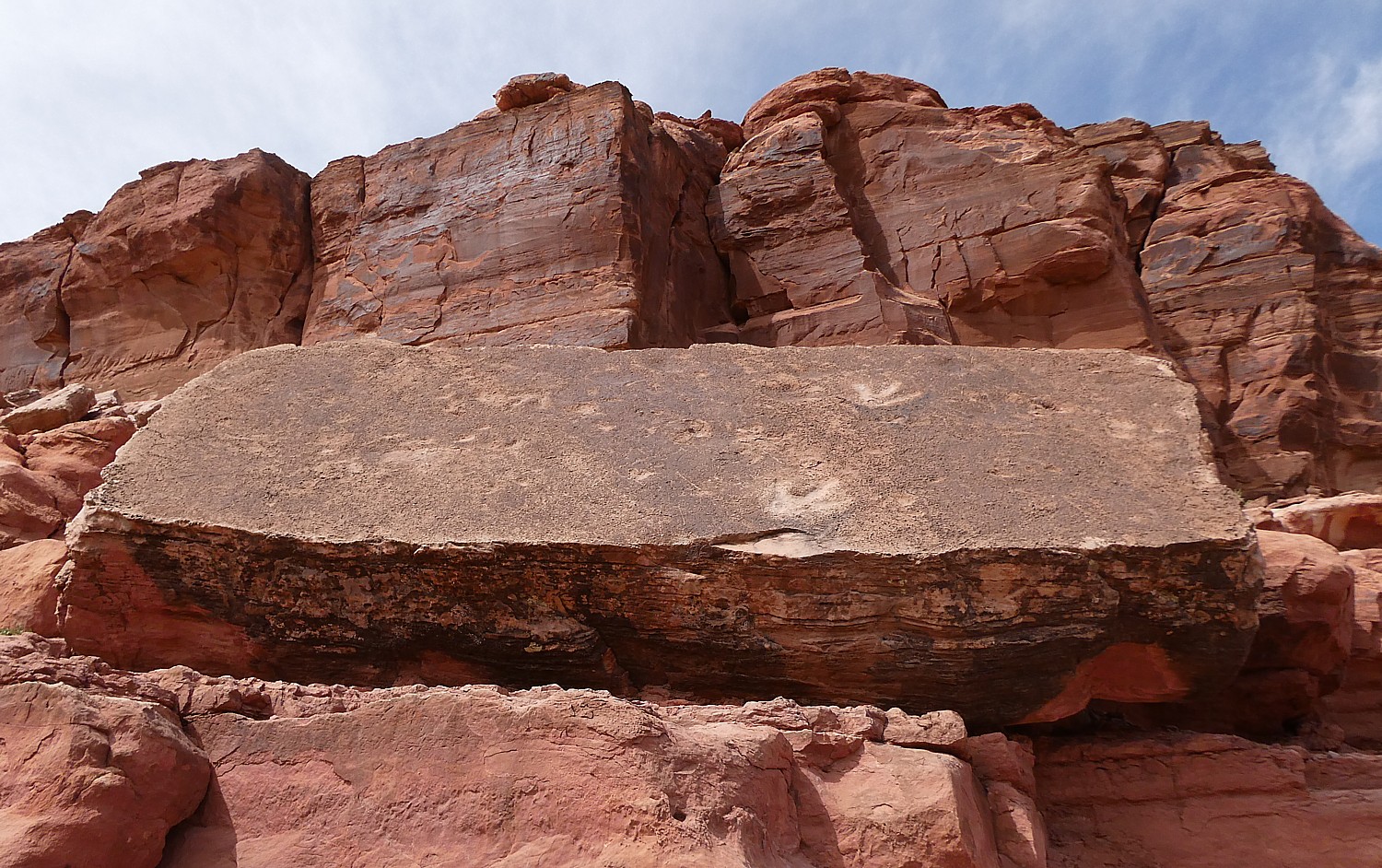
There are barricades around areas where there have been rockfalls, and we see numerous examples of boulders that have fallen into crevices, and precariously balanced boulders.
Many of these formations have names related to their shape – Elephant (since it split in two, Ella and Phant), Bear, ET, Jay Leno, Dinosaur, Mother-in-Law.
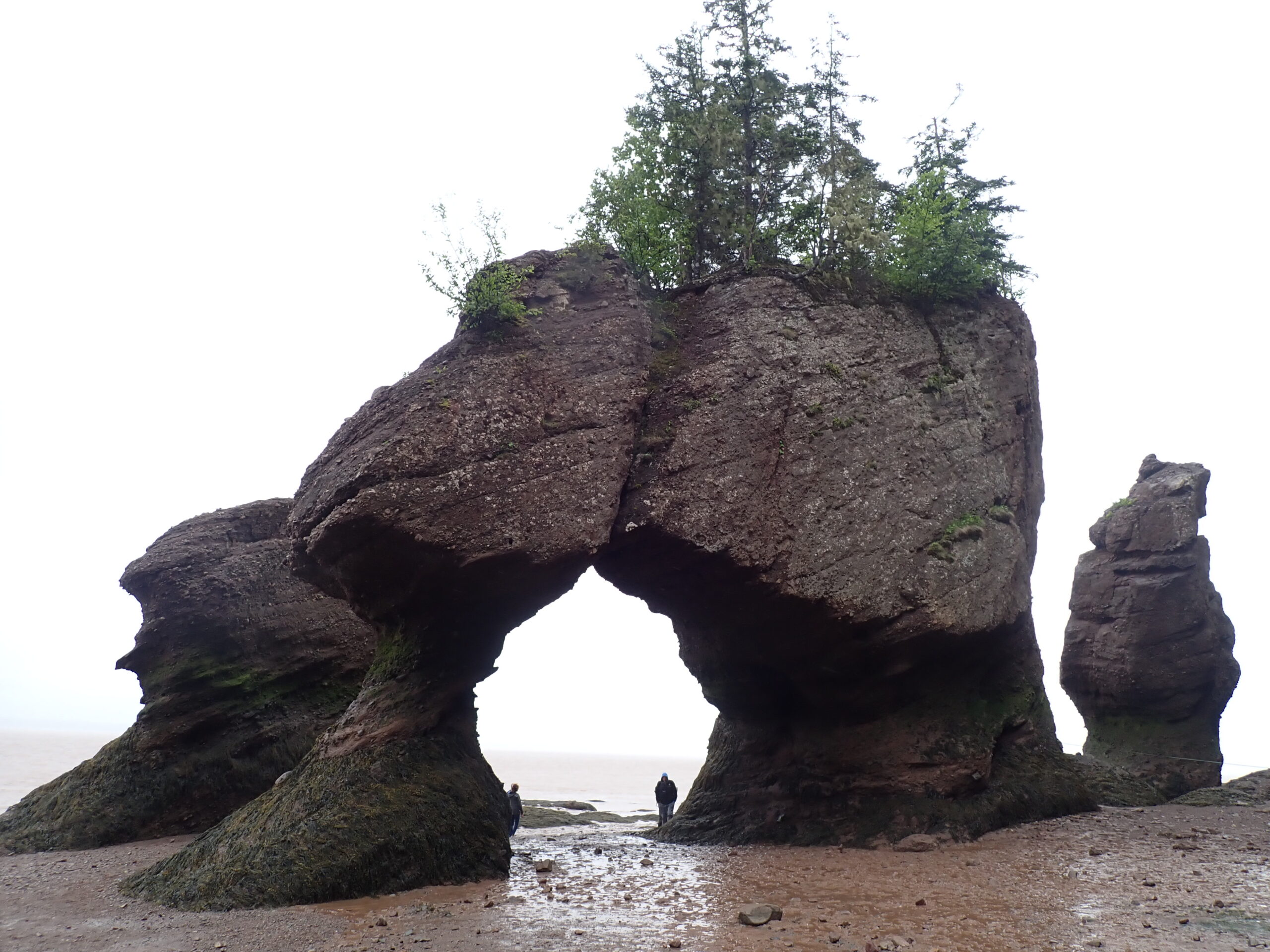
The most popular – and famous – formation is Lovers Arch, named because the two formations lean next to each other and if one falls, so will the other; they are only still standing now because of this co-dependency. “It’s the most romantic spot,” Johnathan says, adding that there is at least one proposal a week here, and sometimes weddings.
The beach extends 2.4 km, depending on the tide. We see Tide Sweepers at cut off points, who begin to herd people back off the beach as the tide begins to roll in. There is actually an emergency tower for those who find themselves trapped.
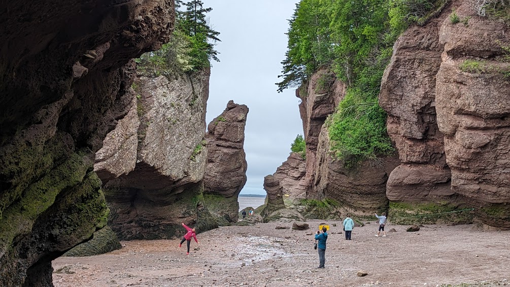
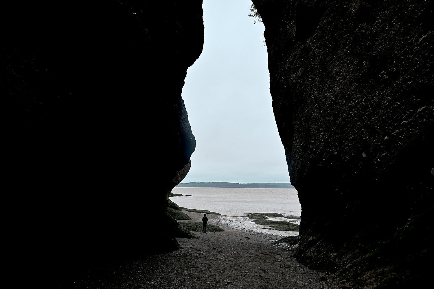
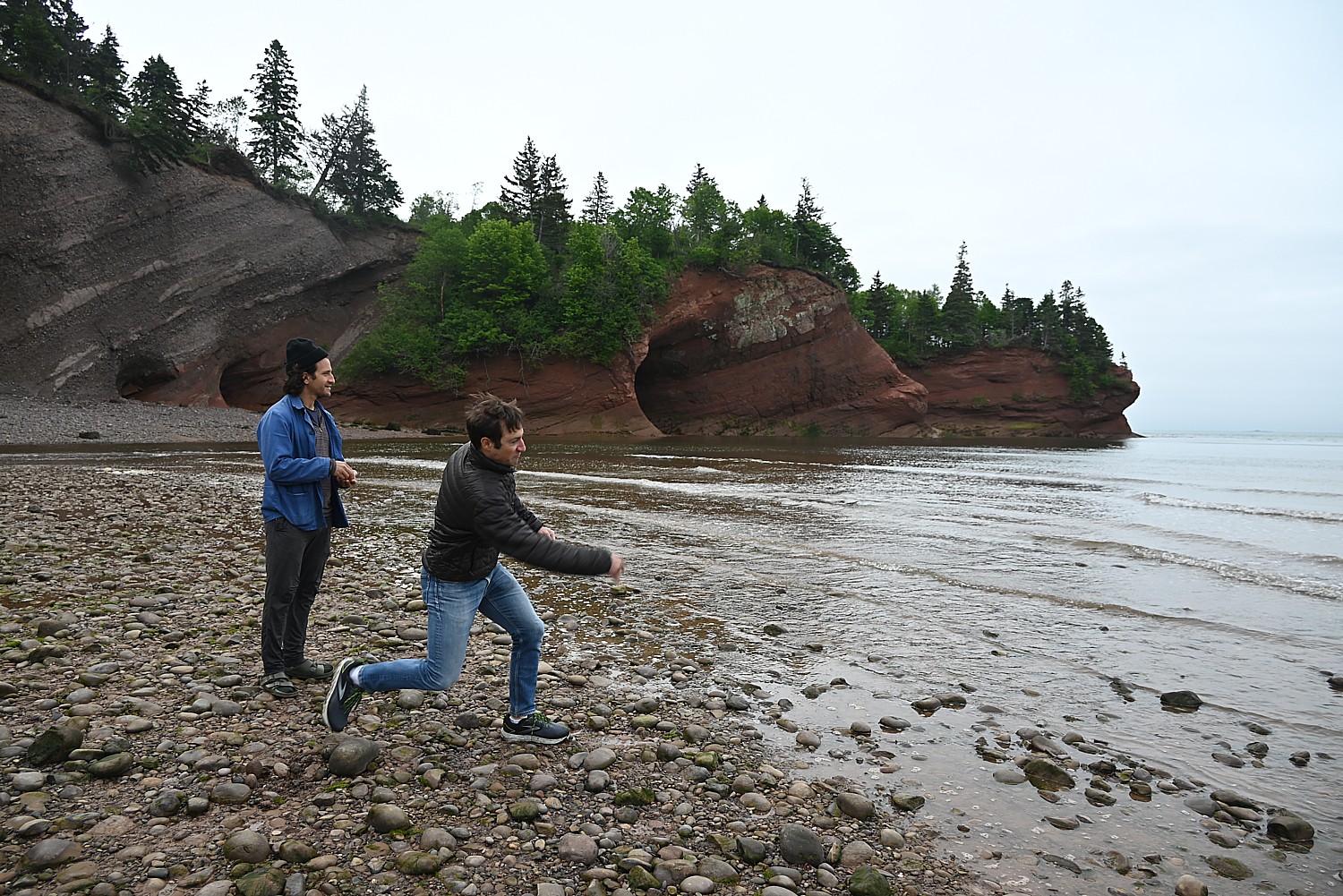
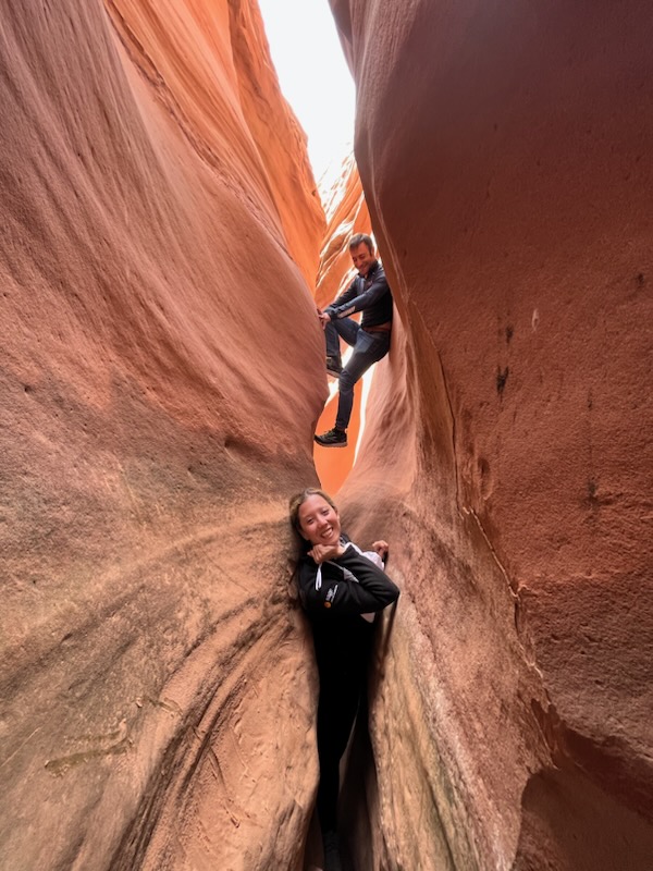
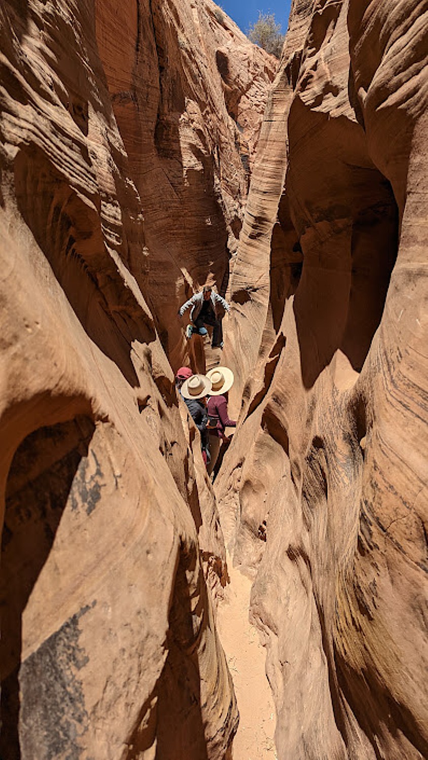
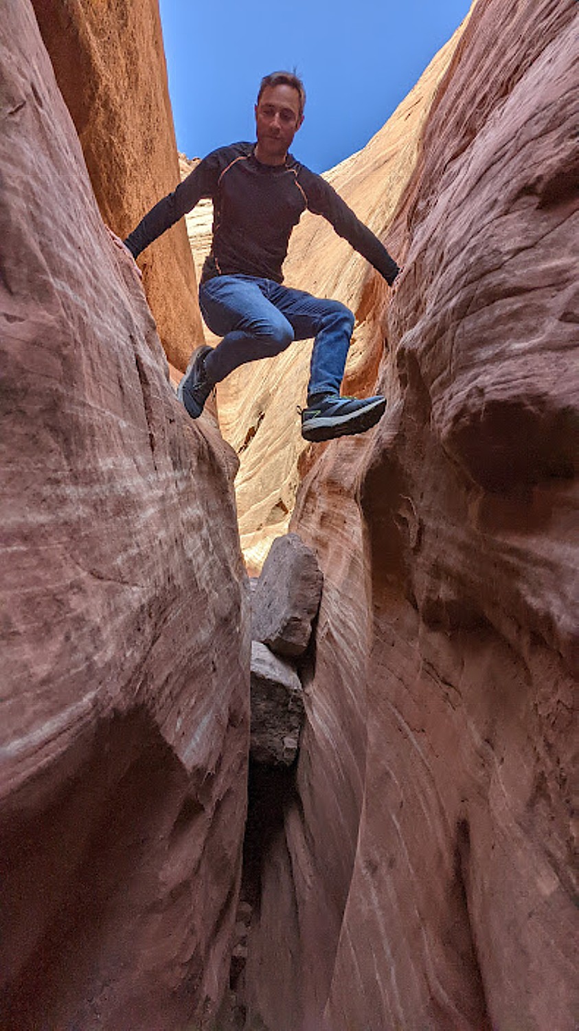
We walk through Castle Cove where there are four caves, Diamond Rock, and come to a skinny Sentinel Rock, which Johnathan tells us, may fall in the next 20 years or perhaps 200 years.
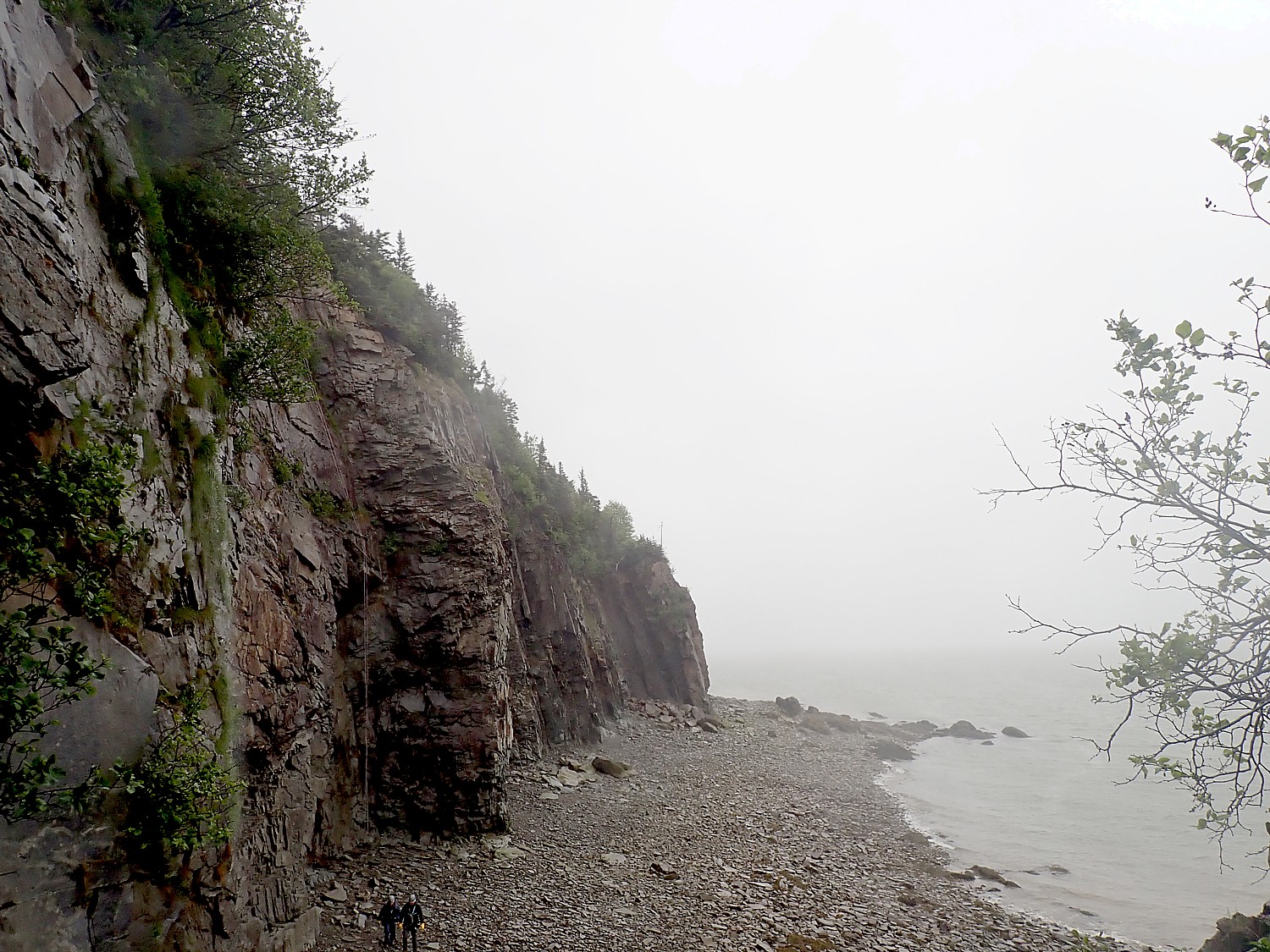
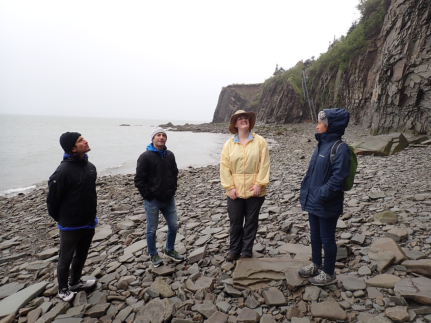
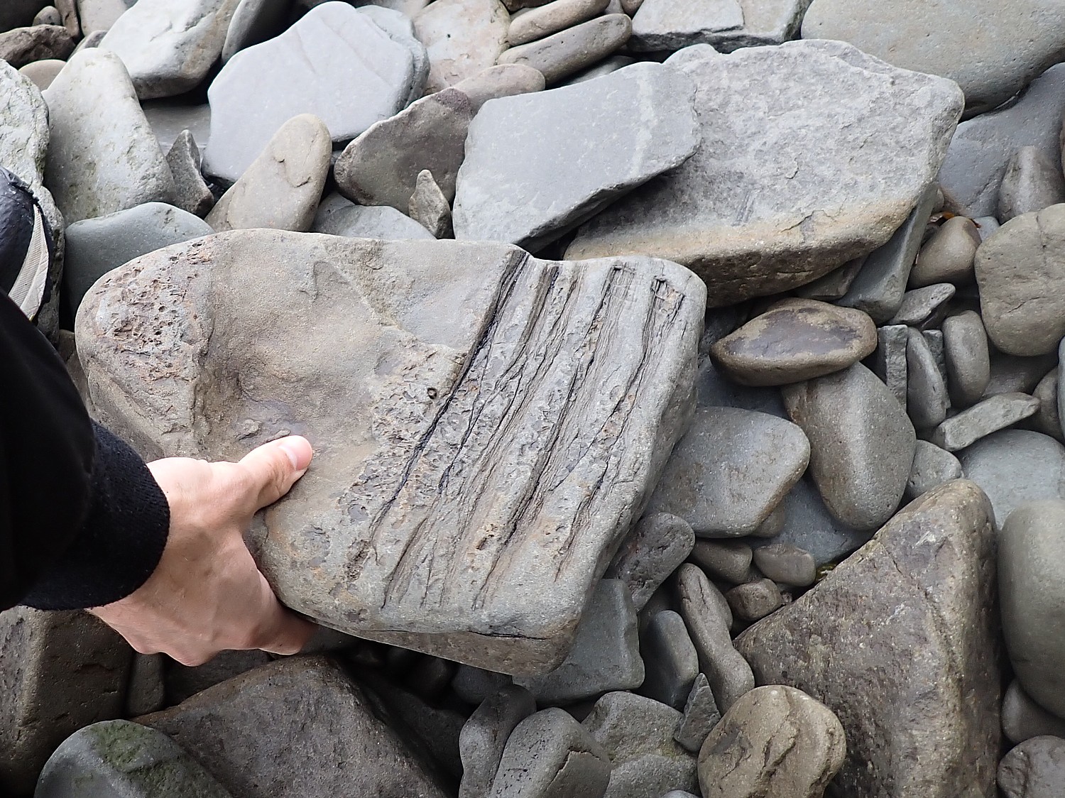
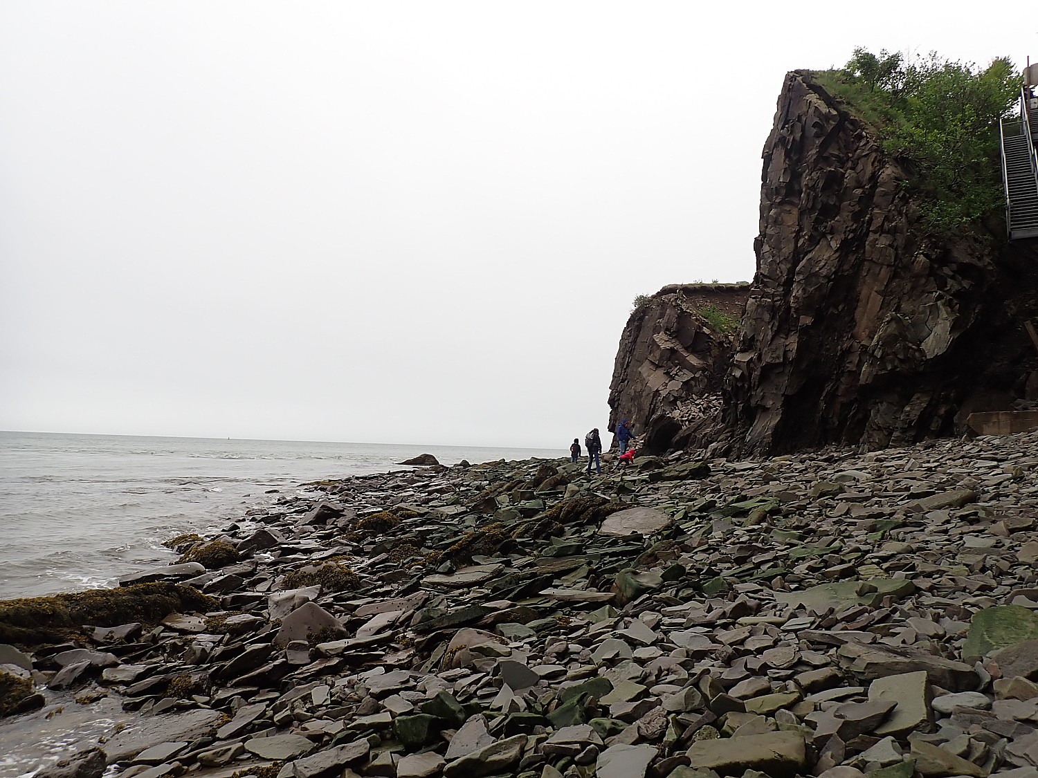
These rock formations are not even that old (at least when we compare to the 350 million year old fossils we found just down the road at Cape Enrage.
Hopewell Rocks were formed from glacial action 6000-10,000 years ago. And it seems that even on a daily basis, they are eroded just a little bit more. Johnathan says that some believe this park will last 2000 years, but some of the formations may be gone in just 20, like Sentinel Rock.
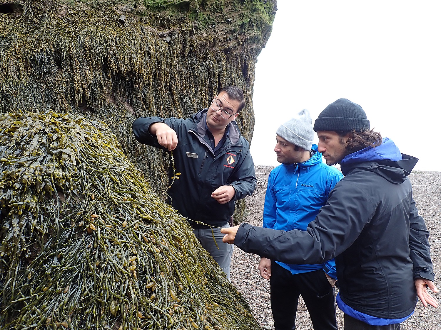
Johnathan points out rockweed growing on the rocks – you can eat the bulbs (seed pockets – delicious!). The bladder wrack (seaweed), yields aloe which is the most marvelous moisturizer, with 200 times more collagen than many commercial skin products (we try it).
We see peregrine falcons nesting in the rock faces.
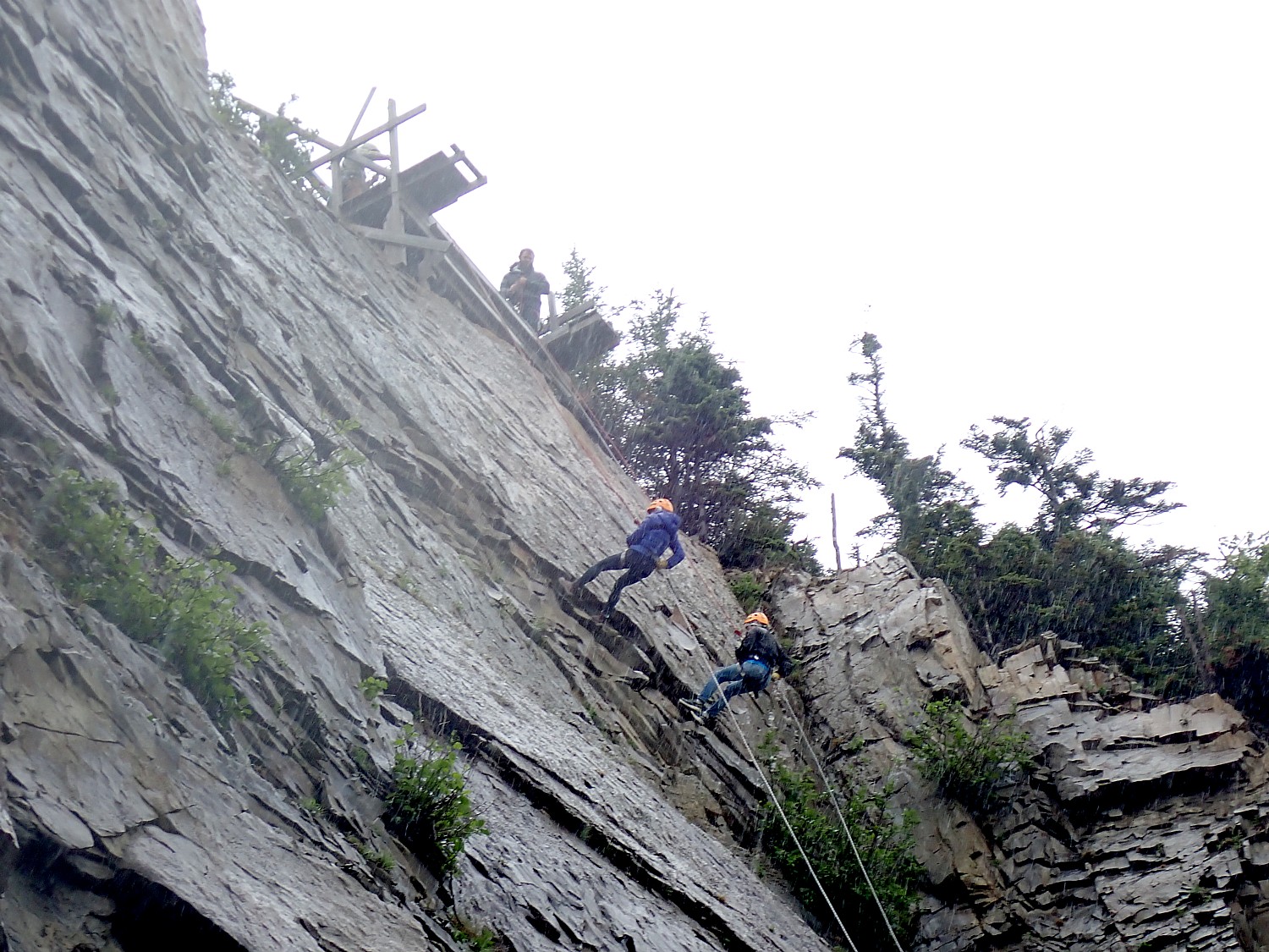
The highest cliffs are 100 feet high. ”Adrenalin –junkie geologist rappel down – so they put up barricade.”
The water is notably brown (not blue) because the motion of the 160 million tons of water, mixing with silt from the mud flats. “The water is brown here but 20 km away, in Moncton, it is blue because of shellfish that filter the soil. You won’t find shells here.
But the nutrient-rich mud flats produce another amazing sight: Hopewell Rocks is on the flight path of sandpiper birds migrating from the Arctic to South America for winter – hundreds of thousands of sandpipers, 35% of the world’s population– stop to feed in the Bay of Fundy for three weeks in late August/early September each year. The huge mud flat that extends for miles teams with billions of microscopic mud shrimp. The sandpipers feast and double their body weight, then fly 72 hours direct to South America without stopping. “We are heavy into conservation, sustainability so we don’t want kids or anybody to walk in the mudflats, killing the microscopic mud shrimp, the food source for the birds. A size 10 shoe, if they walk on mudflat, imprint would kill 10,000 mud shrimp.”
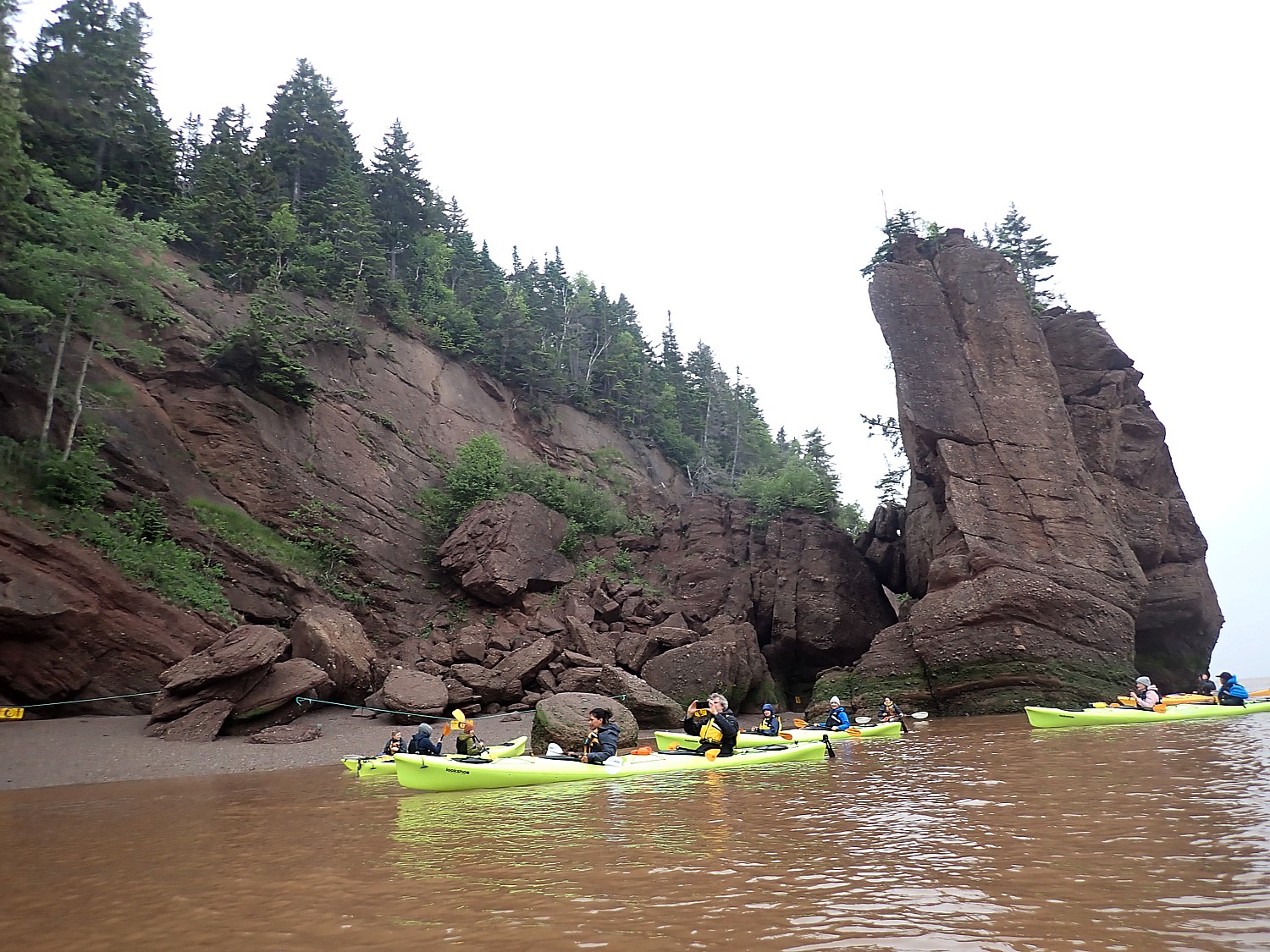
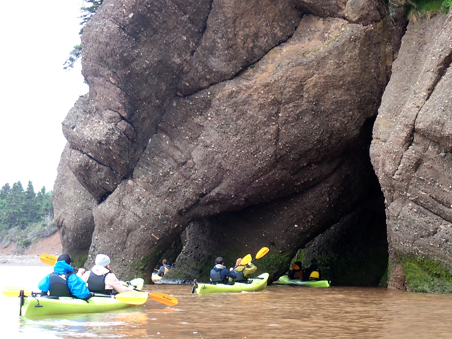
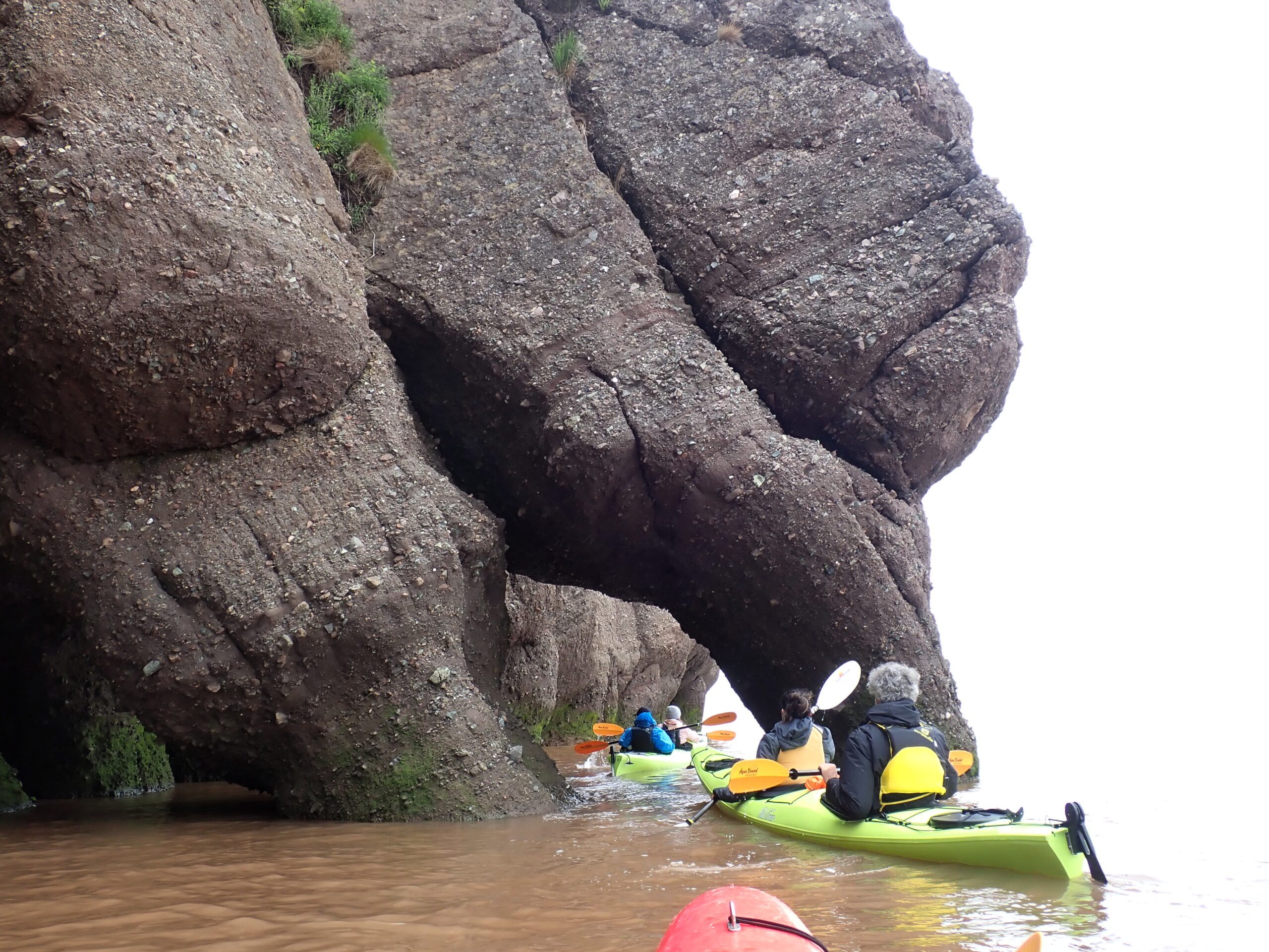
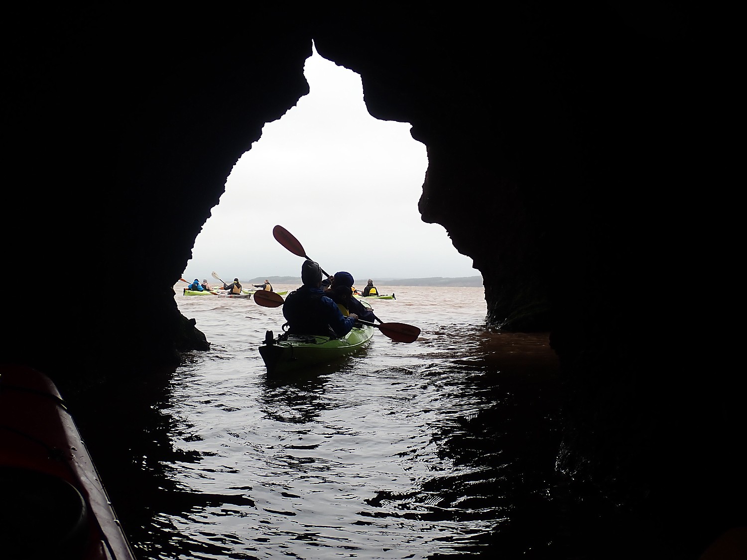
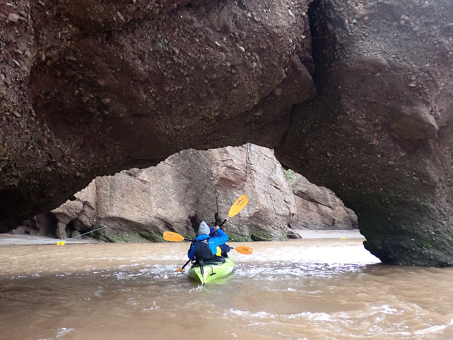
Speaking of food, we rush back to the cafeteria in the Visitors Center to get something for lunch (you can take a shuttle or walk the 15 minutes) before racing over to get to our two-hour sea kayaking tour with Baymount Adventures by 11:50 am, to get outfitted, get oriented, and get to the sea kayaks on the rock beach (everything is very time dependent) for “The Highest Tidal Paddling Experiences on Earth.”
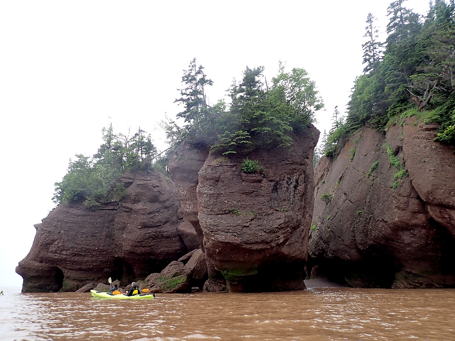
It is the most amazing experience to paddle right up to the giant “flowerpot” rocks, sea cliffs, twisting and turning through small tunnels and narrow passageways in these amazing rock formations which we had just walked around on the ocean floor.
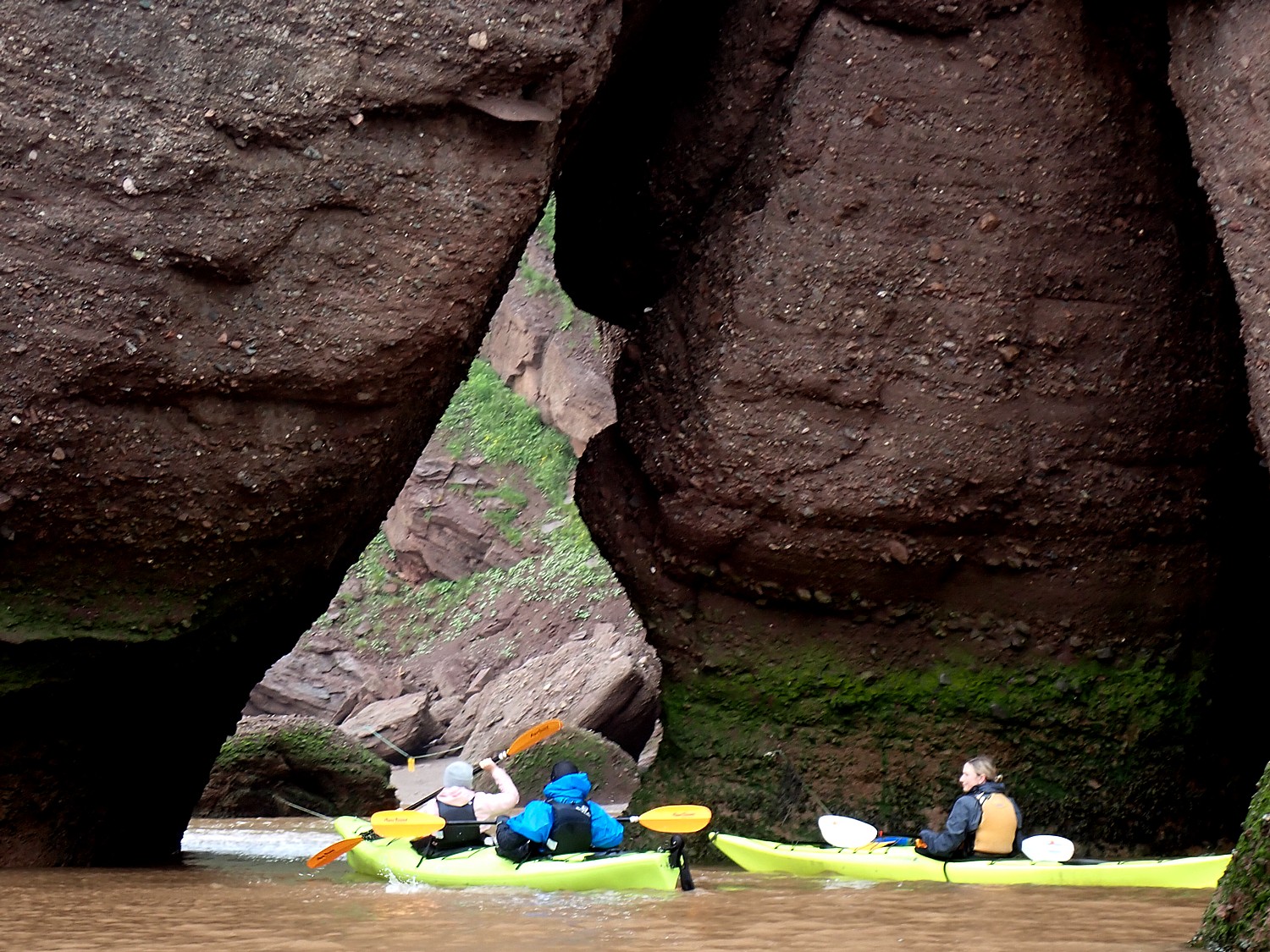
Our guides are concerned about the strong winds today, but as we paddle, a fog picks up over Nova Scotia which dampens the wind, so we have a wonderfully calm time on the water, but we still have to paddle vigorously to get back onto the shore.
A really marvelous adventure, a highlight of our New Brunswick roadtrip, especially pairing the kayaking with the walk on the ocean floor.
Baymount Adventures, 131 Discovery Rd, Hopewell Cape New Brunswick E4H 4Z5, (506) 734-2660, info@baymountadventures.com, https://www.baymountadventures.com/
In the 1950s, Hopewell Rocks was a diner and a campground; it was turned into a provincial park in 1996.
Hopewell Rocks is the most famous attraction in New Brunswick, which before COVID, drew 380,000 visitors a year [this year 350,000 are expected] from around the world. There are especially large groups of fans in Japan.
“A Japanese textbook has a whole unit on the Bay of Fundy and photo of Lovers Arch. Visitors say it was a ”lifelong dream” to come.
Hopewell Rocks is designed to be a self-guided park but there are helpful Interpretive staff throughout the grounds to answer questions. And the Interpretive Center provides an excellent orientation.
The Hopewell Rocks Provincial Park has three primary access points to the Ocean Floor. Main Deck is a tall metal staircase with a spacious viewing platform, where you descend 99 stairs to the ocean floor and after exploring, A little further towards North Beach you can access by a ramp with benches strategically placed along the incline (the ramp is suitable for wheelchairs, but the ocean floor is not). You can also take Desmoiselle Beach trail from behind the Interpretive Centre.
Hopewell Rocks park admission is valid for two consecutive days to ensure you have the flexibility to see both high and low tides. Sturdy footwear is recommended for exploring the trails and shoreline (they provide places to rinse your shoes/boots). Be sure to check the tide times prior to your visit to see when it will be safe to explore the Ocean Floor.
Hopewell Rocks, 131 Chemin Discovery, Hopewell Cape, New Brunswick, 1-877-734-3429, https://www.nbparks.ca/en/parks/33/hopewell-rocks-provincial-park
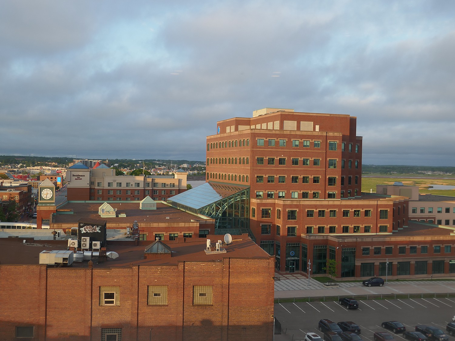
When we leave Hopewell Rocks we drive 45 minutes to Moncton, a small city that’s the gateway to Northern New Brunswick (it also has the airport), where we stay at the Delta Hotel Beausejour (750 Main Street, 506-854-4344).
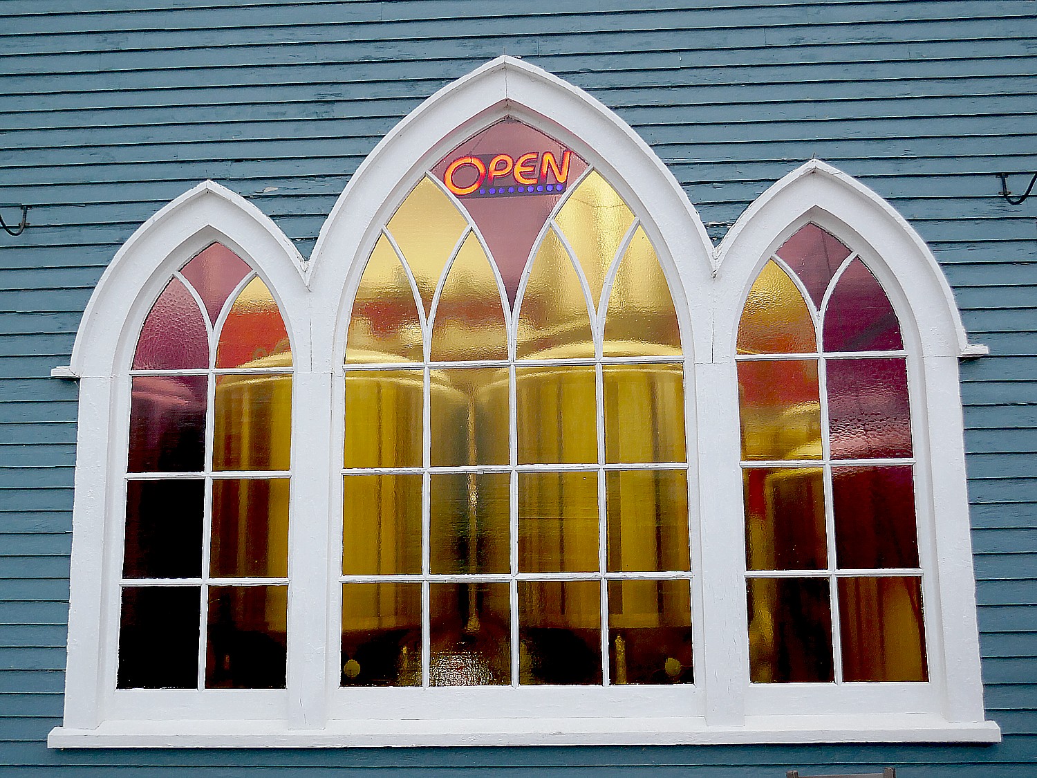
Moncton has a load of great restaurants and we have the best time at the Pump House Brewpub & Restaurant (5 Orange Ln, Moncton, NB E1C 4L6, Canada,+1 506-855-2337, pumphousebrewpub.ca) for its great food and fun ambiance.
Moncton is the end of our Bay of Fundy coastal adventure. Next up: Miramichi, gateway to northern New Brunswick.
Travel planning assistance from Tourism New Brunswick, 800-561-0123, www.tourismnewbrunswick.ca.
Next: New Brunswick Roadtrip: Miramichi and Metepenagiag
See also:
NEW BRUNSWICK ROADTRIP BEGINS IN ST. ANDREWS
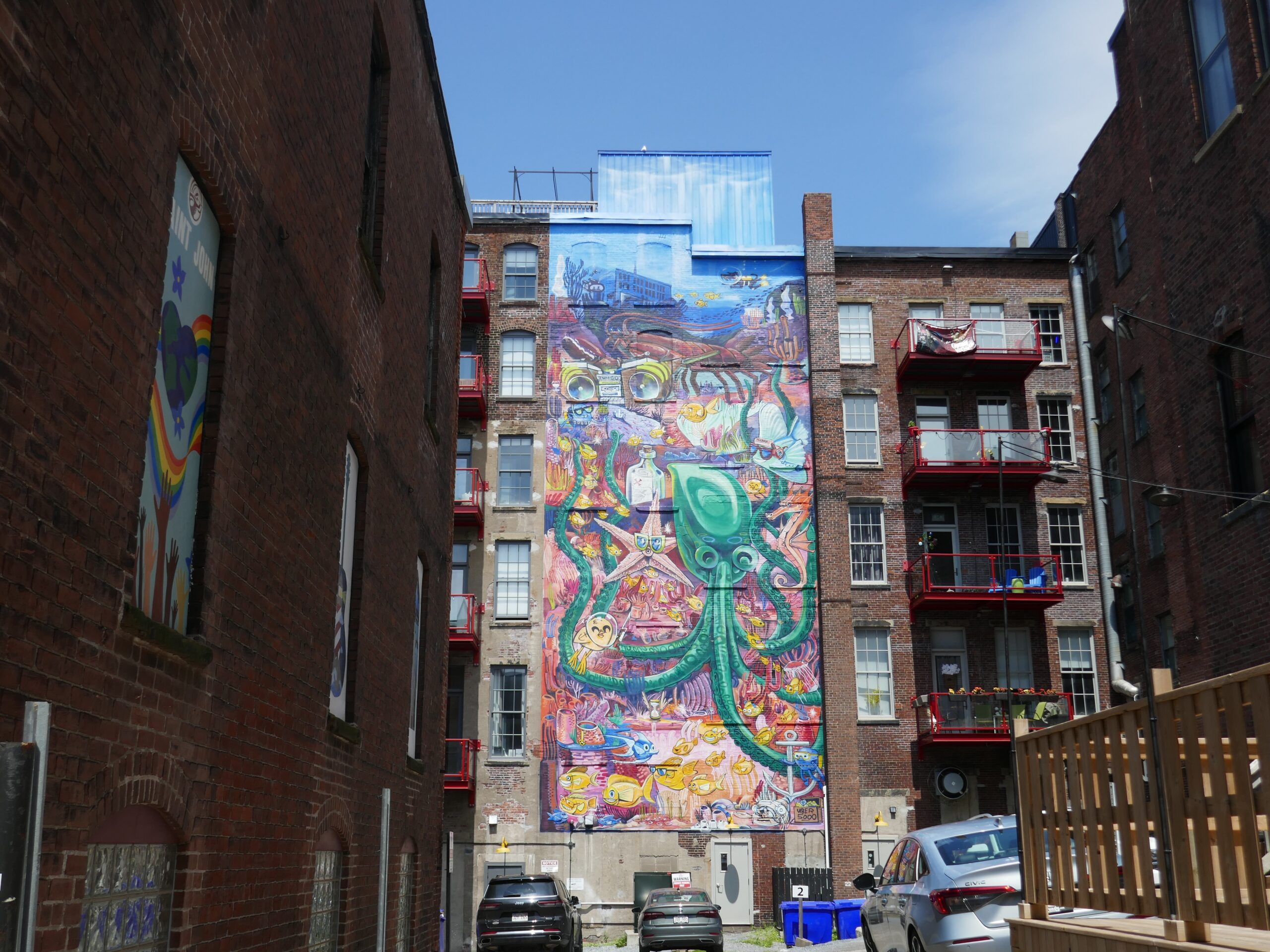
NEW BRUNSWICK, CANADA ROADTRIP: SAINT JOHN, CITY OF FIRSTS, OLDESTS, AMAZEMENTS
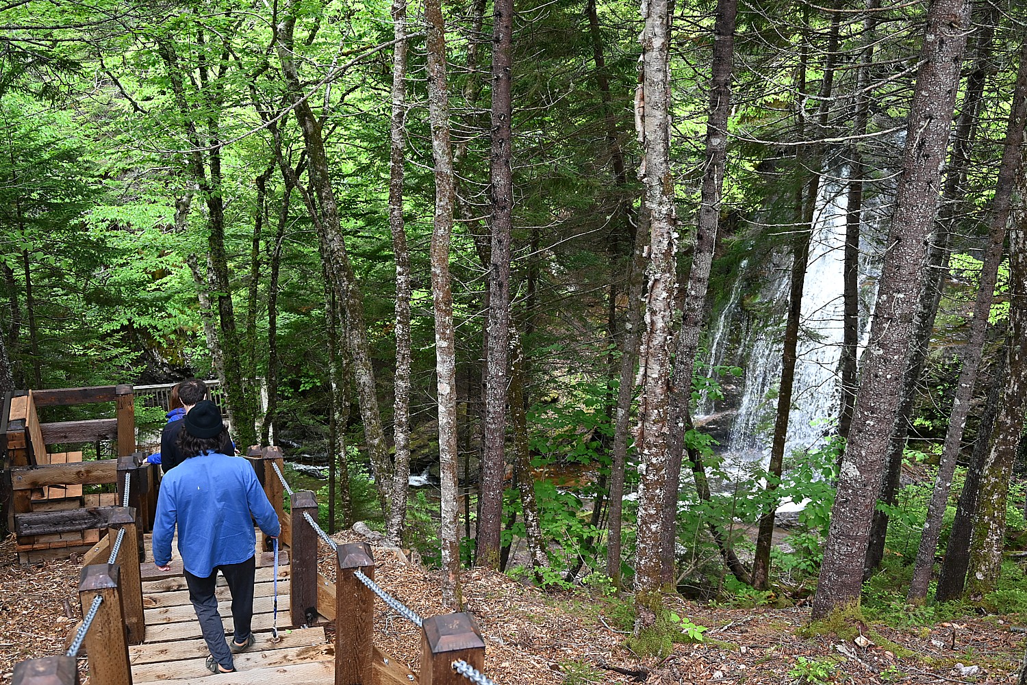
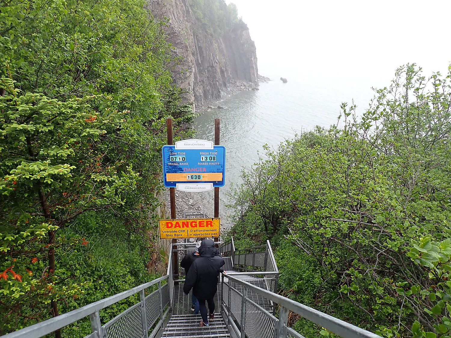
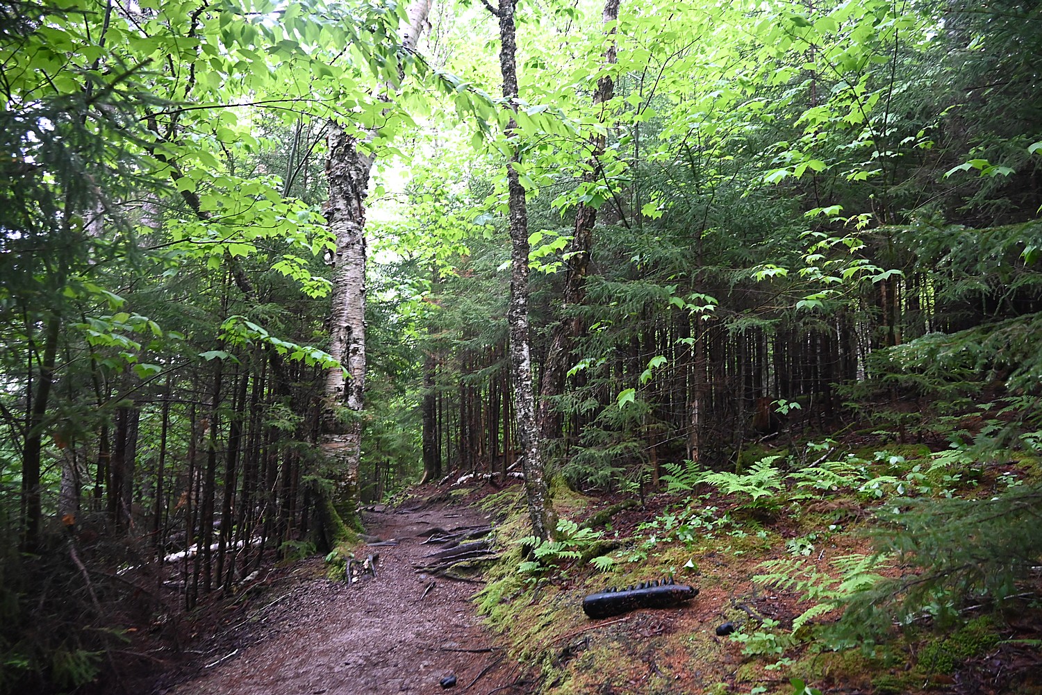
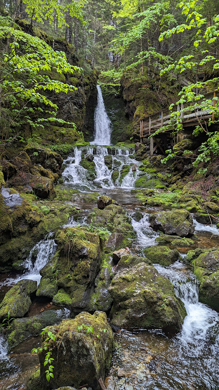
NEW BRUNSWICK ROADTRIP: DISCOVERING FUNDY TRAIL PARKWAY, FUNDY NATIONAL PARK, CAPE ENRAGE
____________________________
© 2023 Travel Features Syndicate, a division of Workstyles, Inc. All rights reserved. Visit goingplacesfarandnear.com, www.huffingtonpost.com/author/karen-rubin, and travelwritersmagazine.com/TravelFeaturesSyndicate/. Blogging at goingplacesnearandfar.wordpress.com and moralcompasstravel.info. Visit instagram.com/going_places_far_and_near and instagram.com/bigbackpacktraveler/ Send comments or questions to FamTravLtr@aol.com. Tweet @TravelFeatures. ‘Like’ us at facebook.com/KarenBRubin


