by Karen Rubin, Travel Features Syndicate, goingplacesfarandnear.com
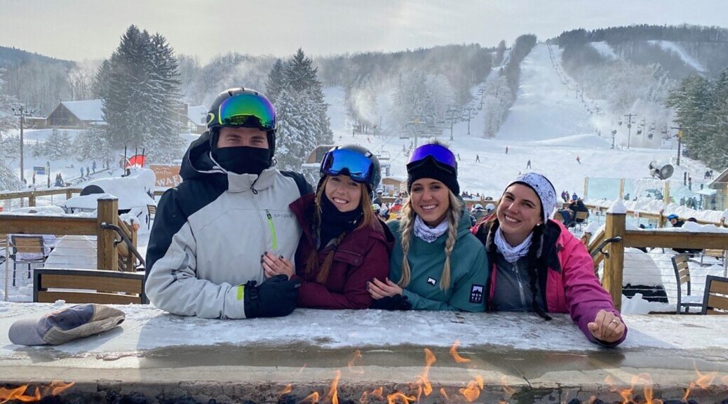
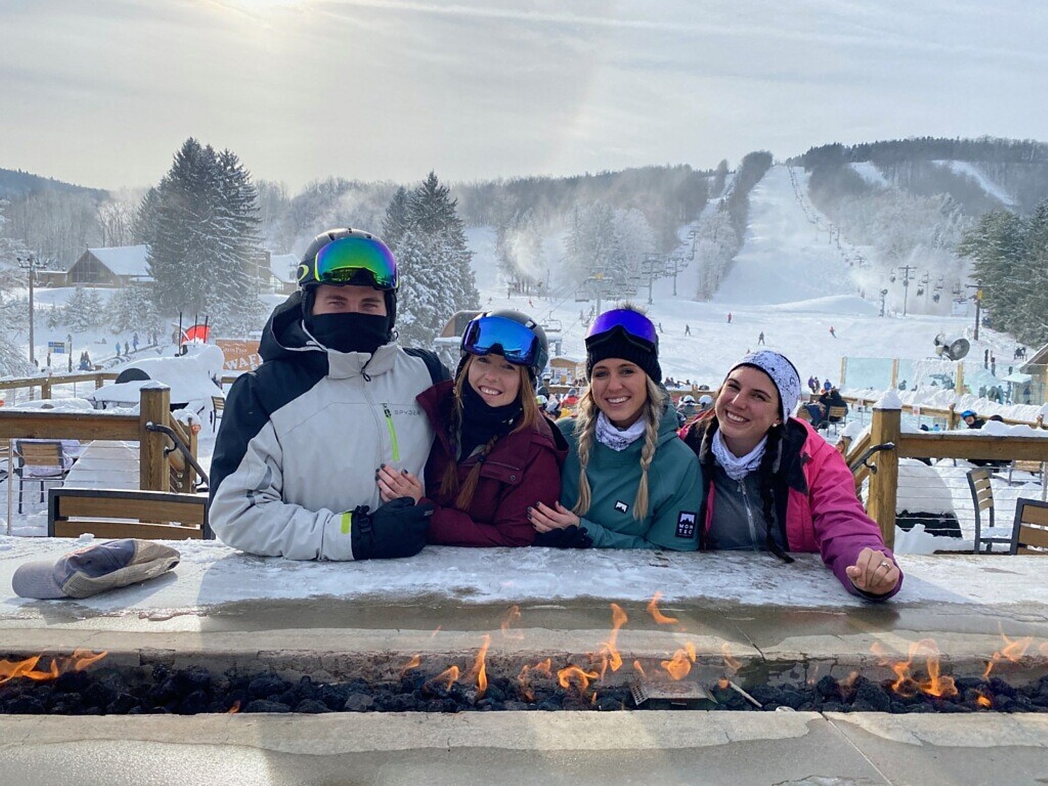
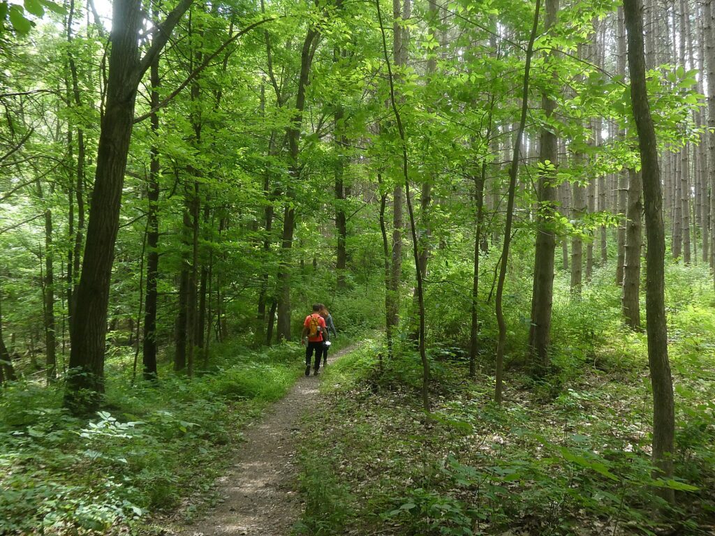
New York State is not only home to the most ski areas of any state (50), but also some of the best, which makes them particularly desirable this year when being outdoors – skiing, snowboarding, snowshoeing, cross-country skiing –are some of the most healthful activities you can do, are driving distance accessible, and because you are staying within New York State, you don’t have to quarantine for 14 days on returning.
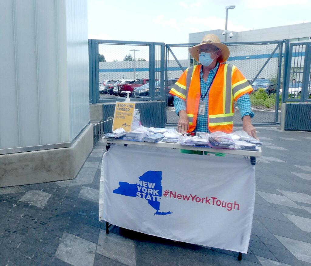
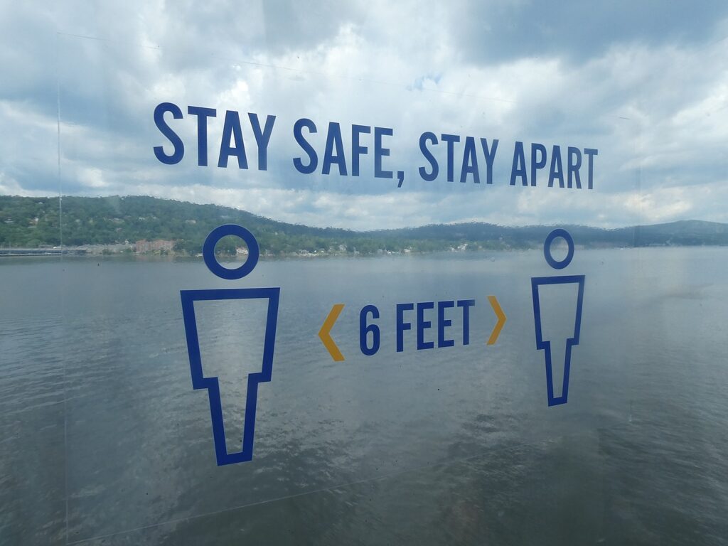
New York has been intense about COVID-19 protections, and has instituted regulations governing reduced capacity to afford social-distancing, mask-wearing (except for actively skiing or eating), instituting such things as cashless transactions, rules for riding the lifts, and limiting time in lodges and restaurants, and in some instances advance ticketing and reservations. But it also has meant pleasant modifications – more outdoor dining with heat, for example, plus cashless transactions.
But with the great demand for New York skiing, Scott Brandi, president of the NY Ski Areas Association recommends “Know before you go.” Check the sites in advance to check conditions and availability and book lift tickets and rental equipment in advance – for example, most holidays and weekends as well as season passes are sold out for ORDA areas but there may be availability for midweek visits (ISkiNY.com).
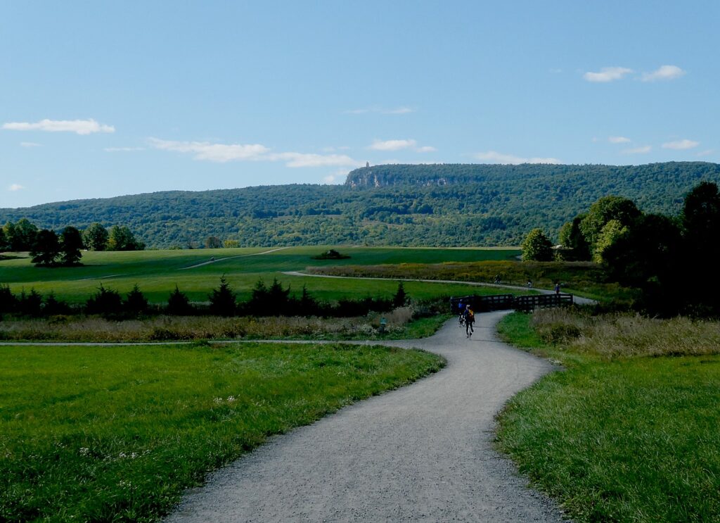
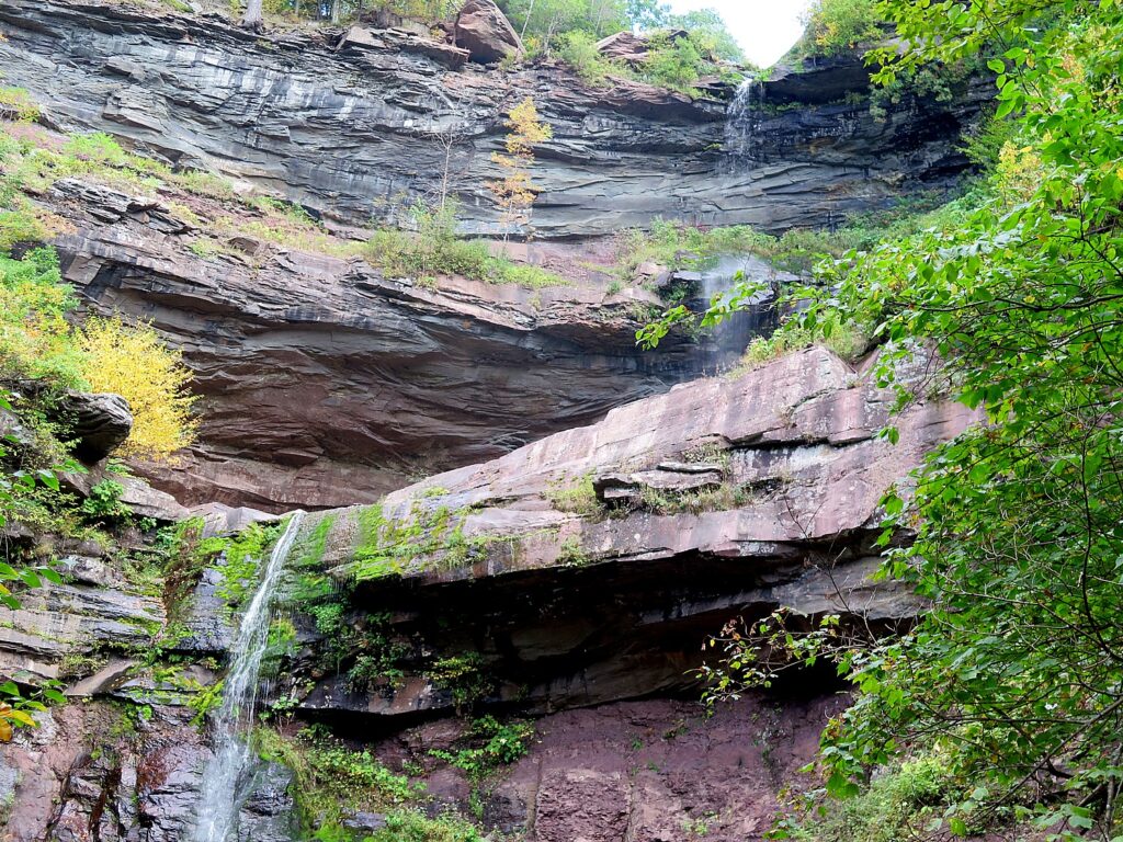
In just a few hours, downstate New Yorkers can be on the slopes in the Catskill Mountains, where three of the state’s most popular ski resorts are located:
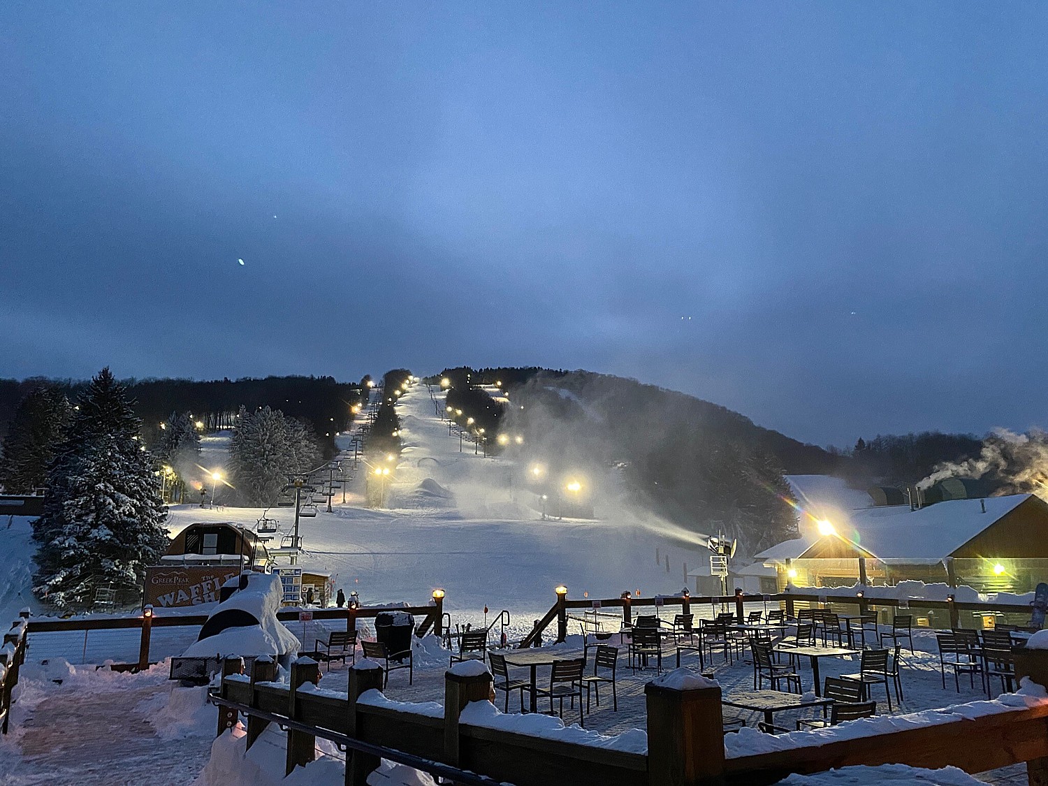
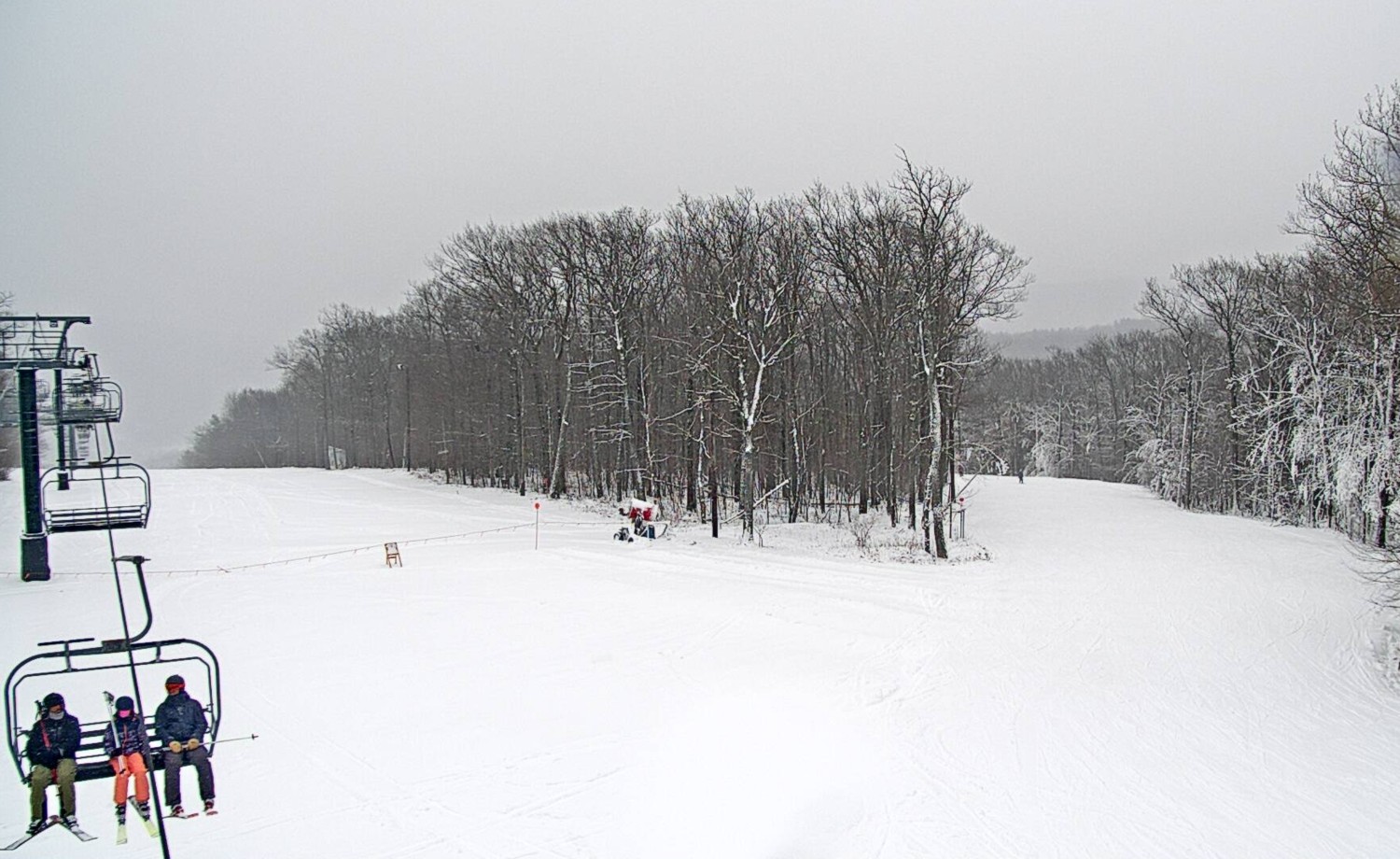
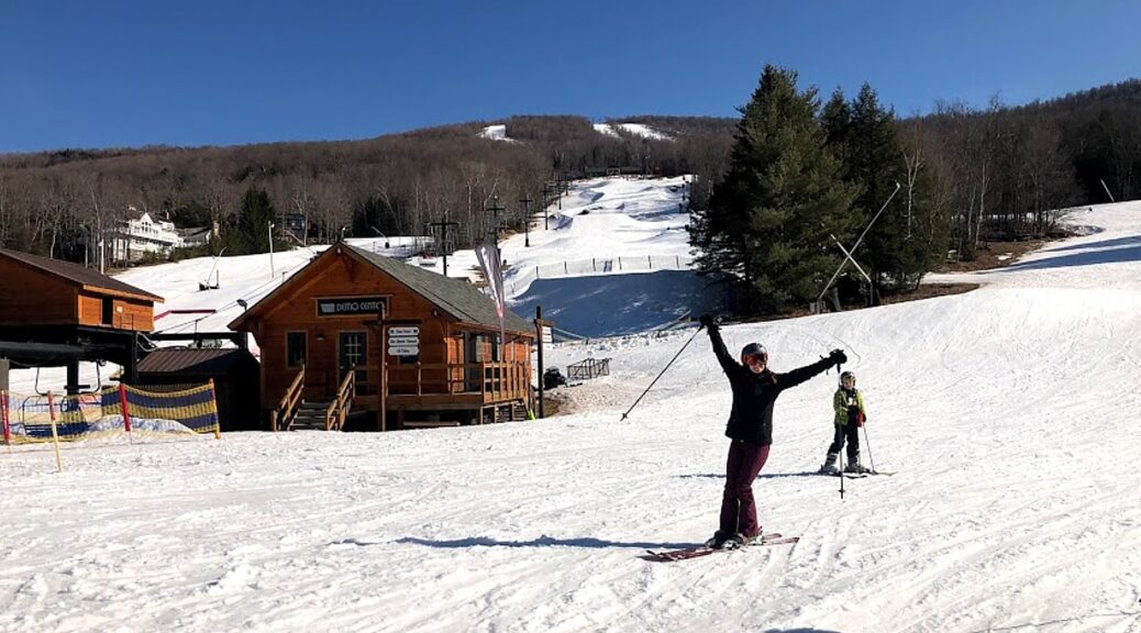
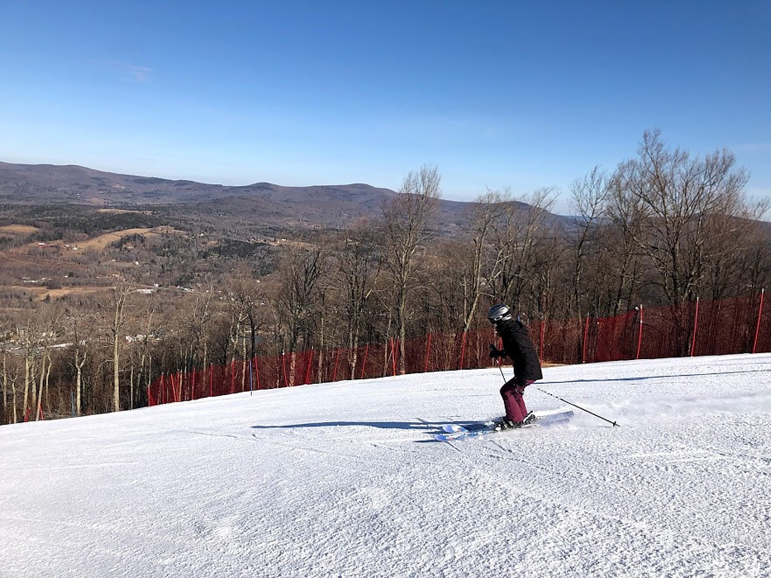
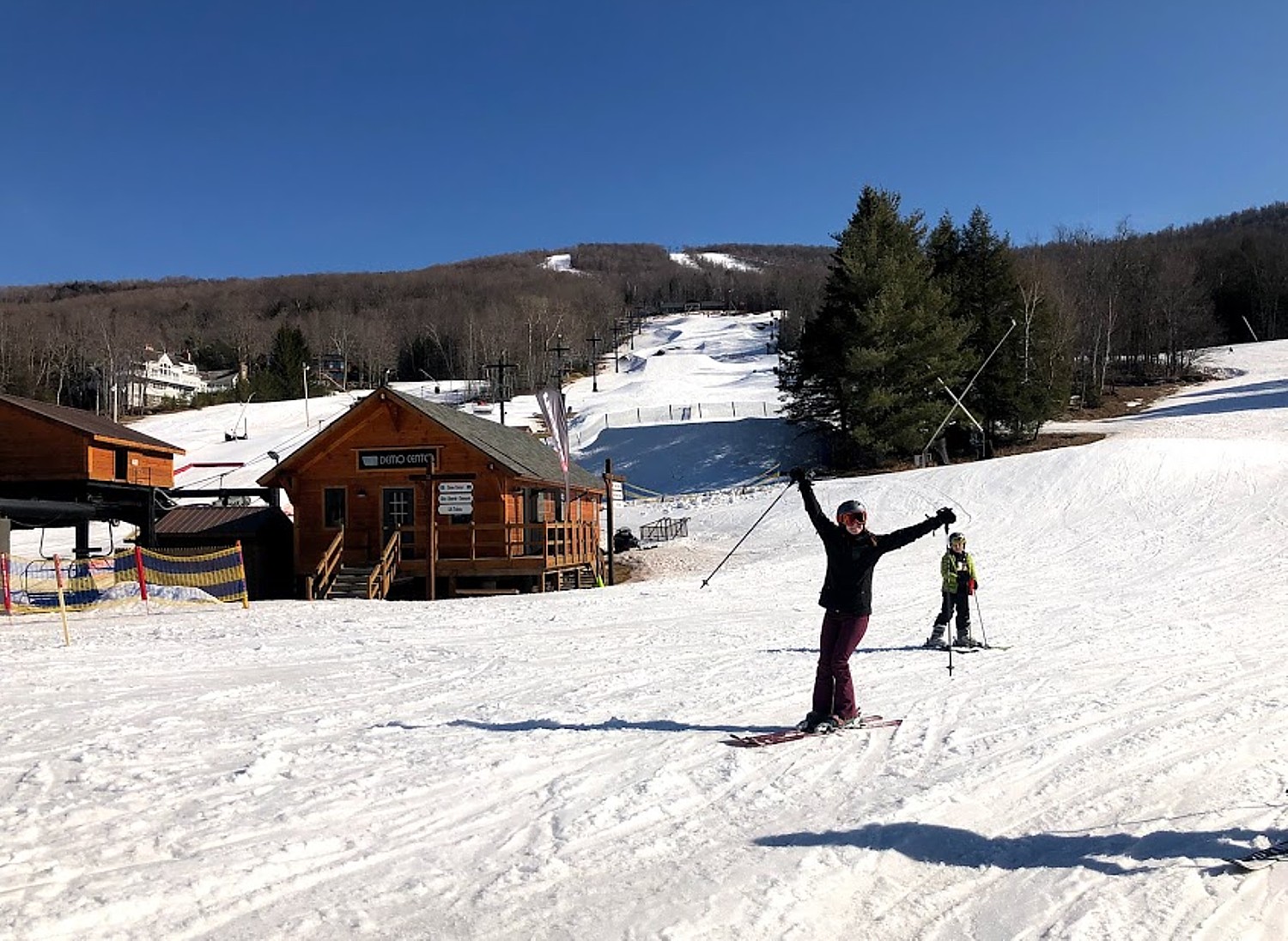
Windham Mountain
Windham Mountain Resort, which began as a private club and preserves much of that same feeling, is a year-round destination in the Great Northern Catskills of Greene County, NY, less than three hours north of New York City, and now is part of Alterra Mountain’s IKON Pass program, which means passholders get priority in reservations during this period of on-mountain capacity restrictions.
Windham offers 1,600 vertical feet from a summit of 3,100 feet. Its 54 trails and six terrain parks provide 285 skiable acres, accessed by 12 lifts including a new high speed six-passenger detachable lift and two high-speed quads. Windham also offers night skiing on six trails (45 acres). In the last 3 years, the resort has spent $12 million to improve the guest experience and offers beginner packages, lodging, dining options, an Adventure Park, and full-service Alpine Spa.
Among the improvements this season:
- Lift capacity out of the base area continues to increase at Windham. C Lift, a fixed grip triple chair serving beginner and intermediate terrain on the lower half of the West Peak has been upgraded with the relocation of the high speed quad.
- A portion of Wildcat, a trail in the Wilderness Bowl area added in 2015, has been widened.
- Improved snowmaking and grooming
- A new European-inspired “Umbrella Bar” with room for 125 guests in enclosed, heated comfort is the centerpiece of a reenergized patio area.
- A new a ski and snowboard simulator that offers guests the chance to ski or ride downhill race venues from around the world virtually while supporting the Adaptive Sports Foundation. This building will also house a new equipment valet and quick tune up station.
- An upgraded booking system with new software that will allow guests to bundle lodging stays with lift tickets, lessons and rentals in one easy transaction.
- An expanded Guest Services department and on-site call center.
Accommodations are plentiful in the area: Windham has renovated rooms at The Winwood Inn, a quaint lodging property in the village of Windham owned and operated by the mountain. The restaurant, Tavern 23, has also been “renovated and reinvented” and features classic American comfort food.
New: Whisper Creek condominiums, high-end ski-in/ski-out lodging located steps away from Whisper Run on Windham Mountain. Building amenities include heated pool and hot tubs, club room and fitness center, ski locker-room with boot dryers and heated parking. Units comfortably accommodate 8 – 10 people and are perfect for extended family gatherings, wedding parties and special events. Whisper Creek is a short stroll away from the Alpine Spa and the Windham Mountain base lodge and within walking distance of the Mountain Bike Park and Scenic Skyride in the summer. (518-734-3000)
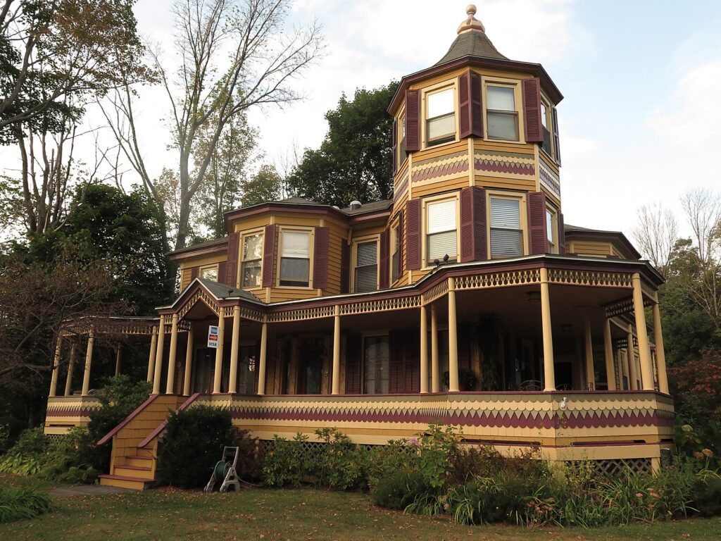
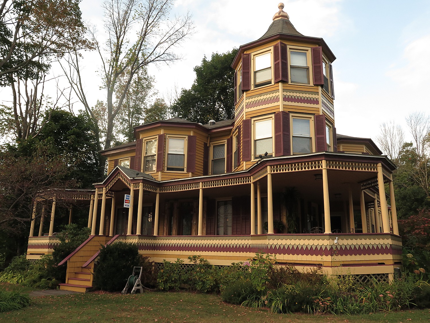
Also, the historic Thompson House, literally around the corner, where we enjoyed our stay, has the charm of an inn with amenities of a resort (The Thompson House, 19 Route 296, Windham NY 12496, 518-734-4510, info@ThompsonHouse, www.ThompsonHouse.com).
Windham Mountain, 19 Resort Drive, Windham, NY 12496, 800-754-9463; to check conditions, call the Snow Report Hoteline 800-729-4766, info@windhammountain.com, windhammountain.com.
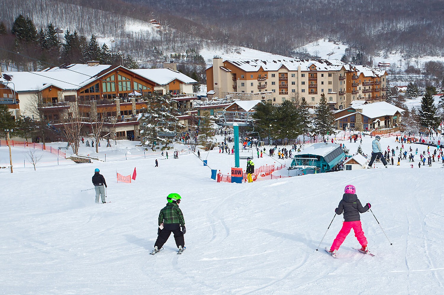
Hunter Mountain
Now part of Vail Resorts, Hunter Mountain, a legendary New York State ski resort and the closest major full-service resort to New York City, is also part of the EPIC pass, and among the COVID-19 precautions and protocols that limit capacity on the mountain, EPIC Pass holders get priority in making reservations.
Four separate mountain faces encompass a wide variety of terrain which caters to skiers and riders of all ability levels.
Hunter rises from 1600 ft base to 3200 summit, a 1600-ft vertical drop, 320 skiable acres (expanded from 240), 67 runs (up from 59; 25% beginner, 30% intermediate, 30% advanced and 15% expert) ) serviced by 13 lifts (increased from 12). It offers 4 gladed areas, 4 terrain parks.
Hunter also has a 1000-ft long tubing hill, one of the longest in NY, with its own Magic Carpet surface lift.
In response to COVID-19, Hunter has “reimagined” the resort experience, consistent with the policies and programs across the Vail Resorts brand.
Skiers are encouraged to use their own vehicles as their personal base lodge, since capacity is restricted. Transactions will be cashless; face coverings required at all times except when actively eating (EpicMix app makes it easier to manage Time to Dine). On-mountain restaurants are open but not bars. The equipment rental process has been streamlined, with seamless online booking, complimentary delivery service (so you skip the rental shop altogether).
On-mountain accommodations include The Kaatskill Mountain Club at Hunter Mountain (condos) and Liftside and Pinnacle condos in the village. There are many nearby bnbs, inns, lodges.
We thoroughly enjoyed our stay at the Fairlawn Inn, just a quarter-mile away from Hunter’s entrance. The historic, Victorian inn has been restored with modern amenities while keeping the charm and character of the original property. It is operating now with strict COVID-19 safety protocols. (7872 Main St (Hwy 23A), Hunter NY 12442, 518-263-5025, fairlawninn.com).
Hunter Mountain, Hunter, NY, 800-486-8376, huinfo@vailresorts.com, www.huntermtn.com
Belleayre Mountain
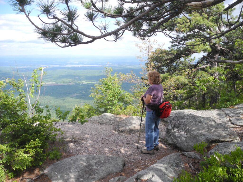
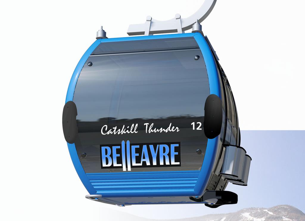
About three-hours drive from New York City, Belleayre Mountain is the nearest of three ski areas owned and operated by New York State’s Olympic Regional Development Authority, and included on ORDA’s pass programs. The ski area has been dramatically improved, turned into a four-season mountain destination. Among the improvements, the first gondola in the Catskills.
What I love best about Belleayre is its natural separation of beginners (from the mid-mountain to the base, with long beginner trails) and more advanced skiers. It affords a 1404 ft vertical drop from a 3429 ft summit, 51 runs on 175 skiable acres (longest is 2.2 miles; 22% beginner, 58% intermediate, 10% advanced, 10% expert), serviced by 8 lifts. Intermediates will enjoy Deer Run, which meanders through a beautiful part of the mountain. The ski resort also features five glades, one terrain park, one progression park and one X-course. Cross-country skiers can enjoy 9.2 kilometers of ungroomed, unpatrolled trails.
There is no on-mountain lodging, but quaint inns and lodges nearby in Fleischmann’s, Pine Hill, Big Indian, Phoenicia, Shandaken and Margaretville (see www.belleayre.com/plan-your-visit/lodging/)
(Belleayre, Highmount, NY 12441, 800-942-6904, 845-254,5600, www.belleayre.com).
See:
A BLUEBIRD DAY OF SPRING SKIING AT WINDHAM MOUNTAIN
______________________
© 2020 Travel Features Syndicate, a division of Workstyles, Inc. All rights reserved. Visit goingplacesfarandnear.com, www.huffingtonpost.com/author/karen-rubin, and travelwritersmagazine.com/TravelFeaturesSyndicate/. Blogging at goingplacesnearandfar.wordpress.com and moralcompasstravel.info. Send comments or questions to FamTravLtr@aol.com. Tweet @TravelFeatures. ‘Like’ us at facebook.com/NewsPhotoFeatures