by Karen Rubin
Travel Features Syndicate, goingplacesfarandnear.com
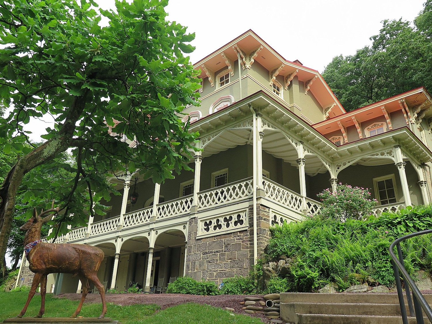
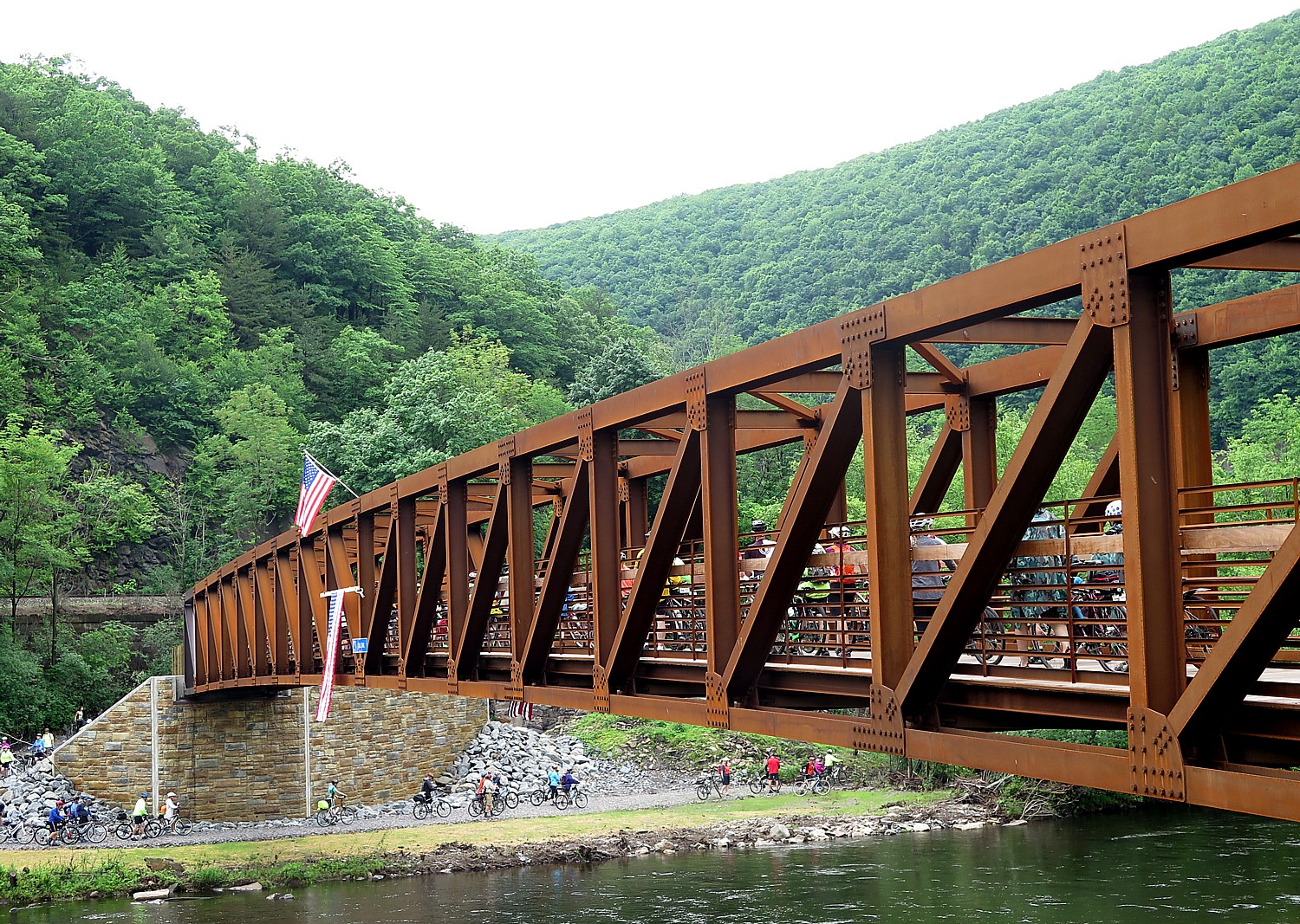
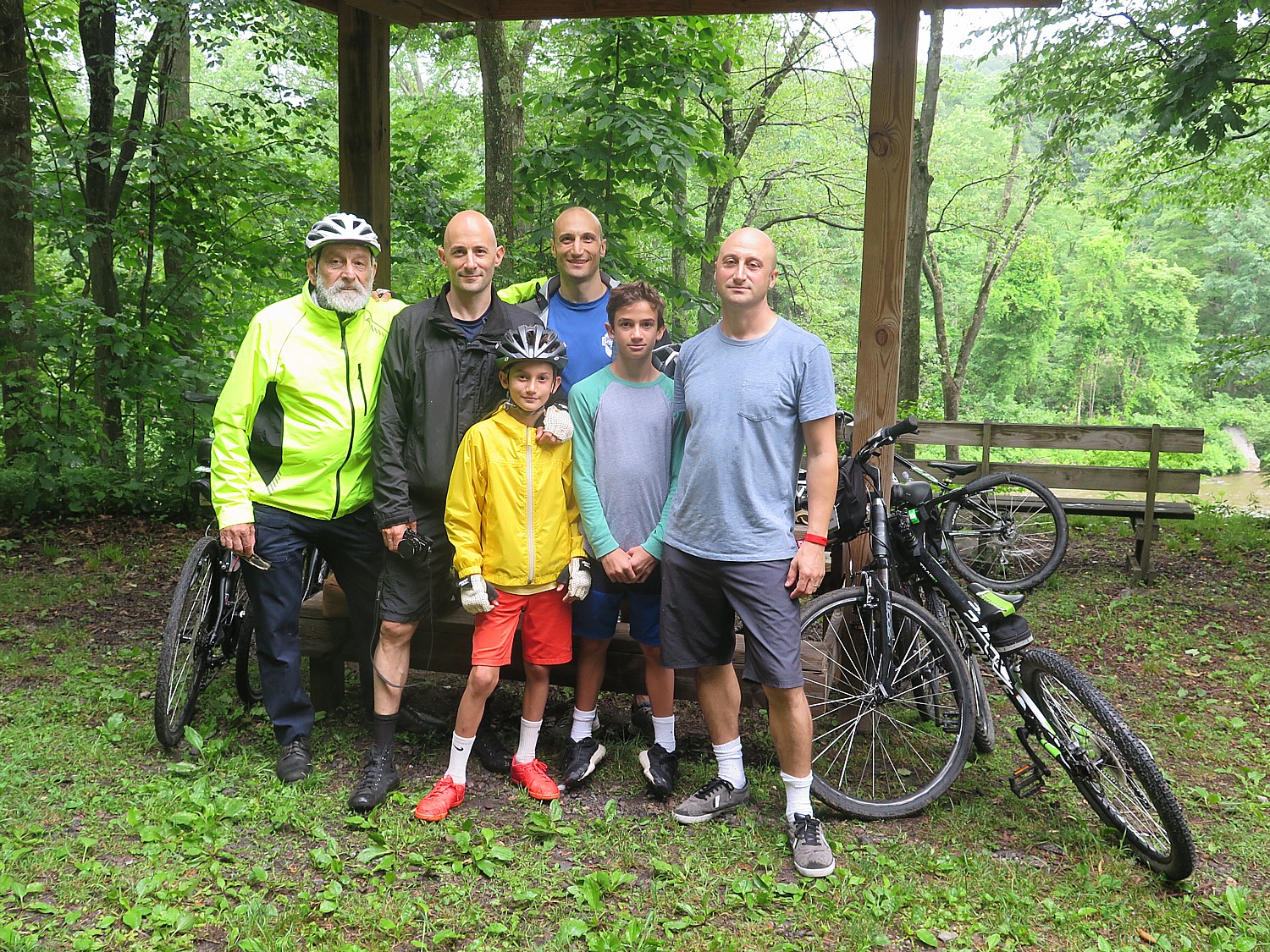
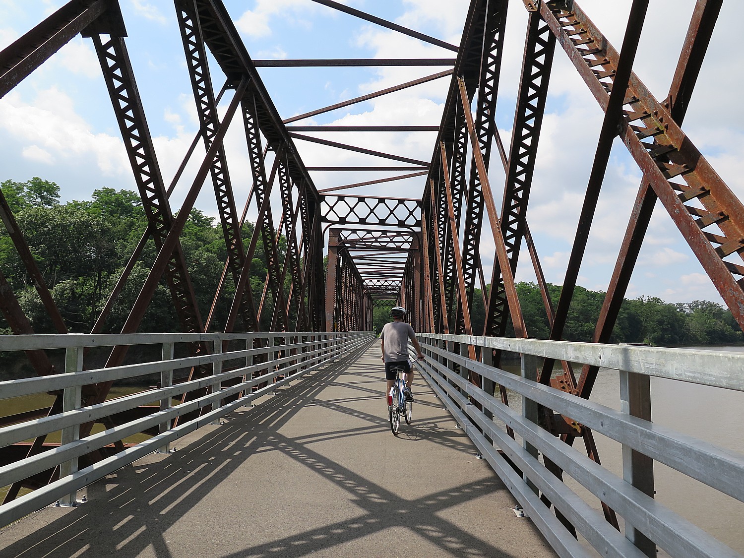
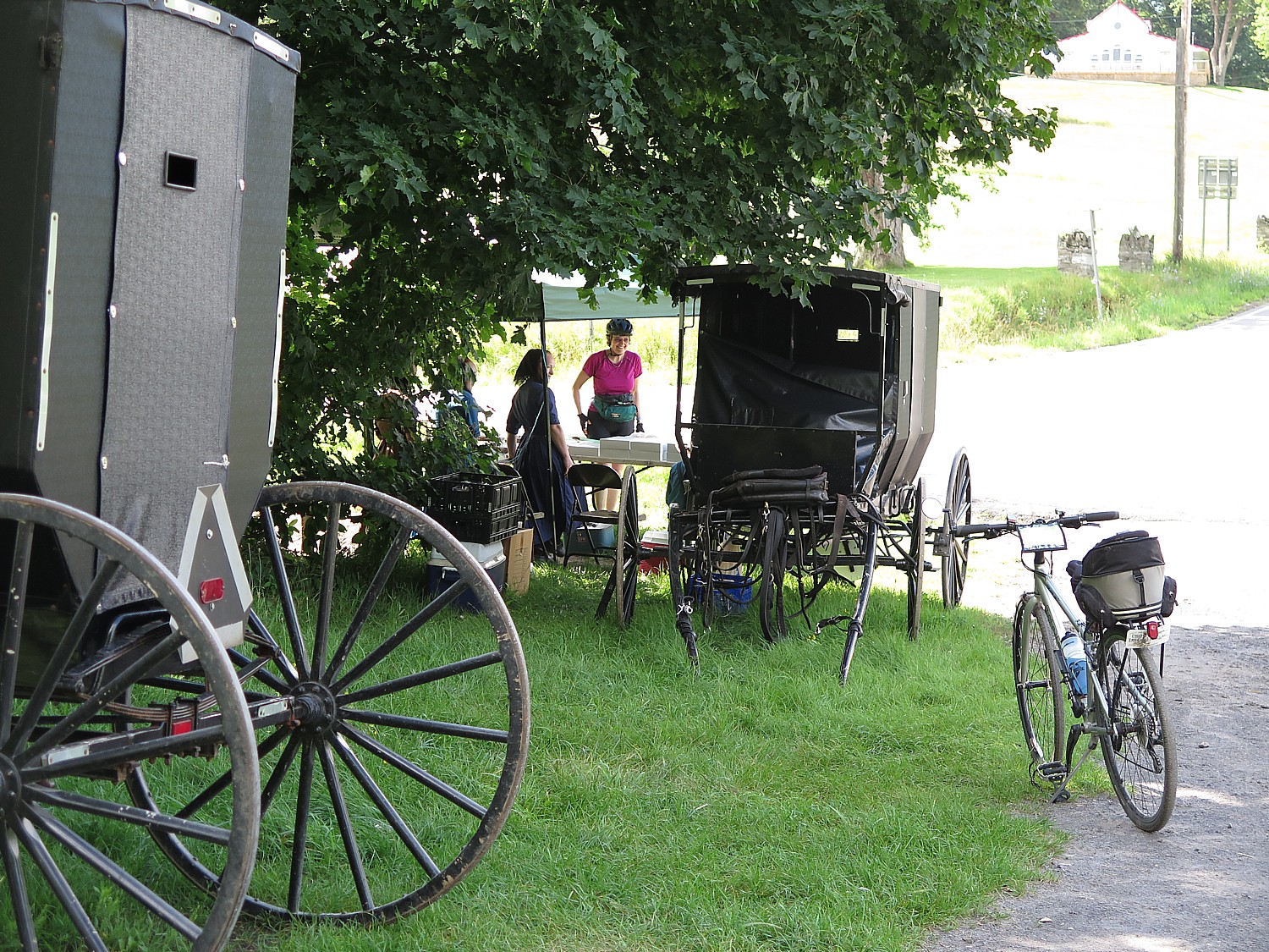
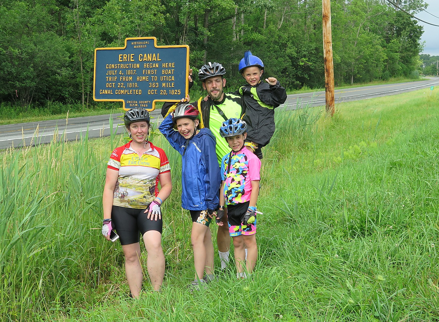
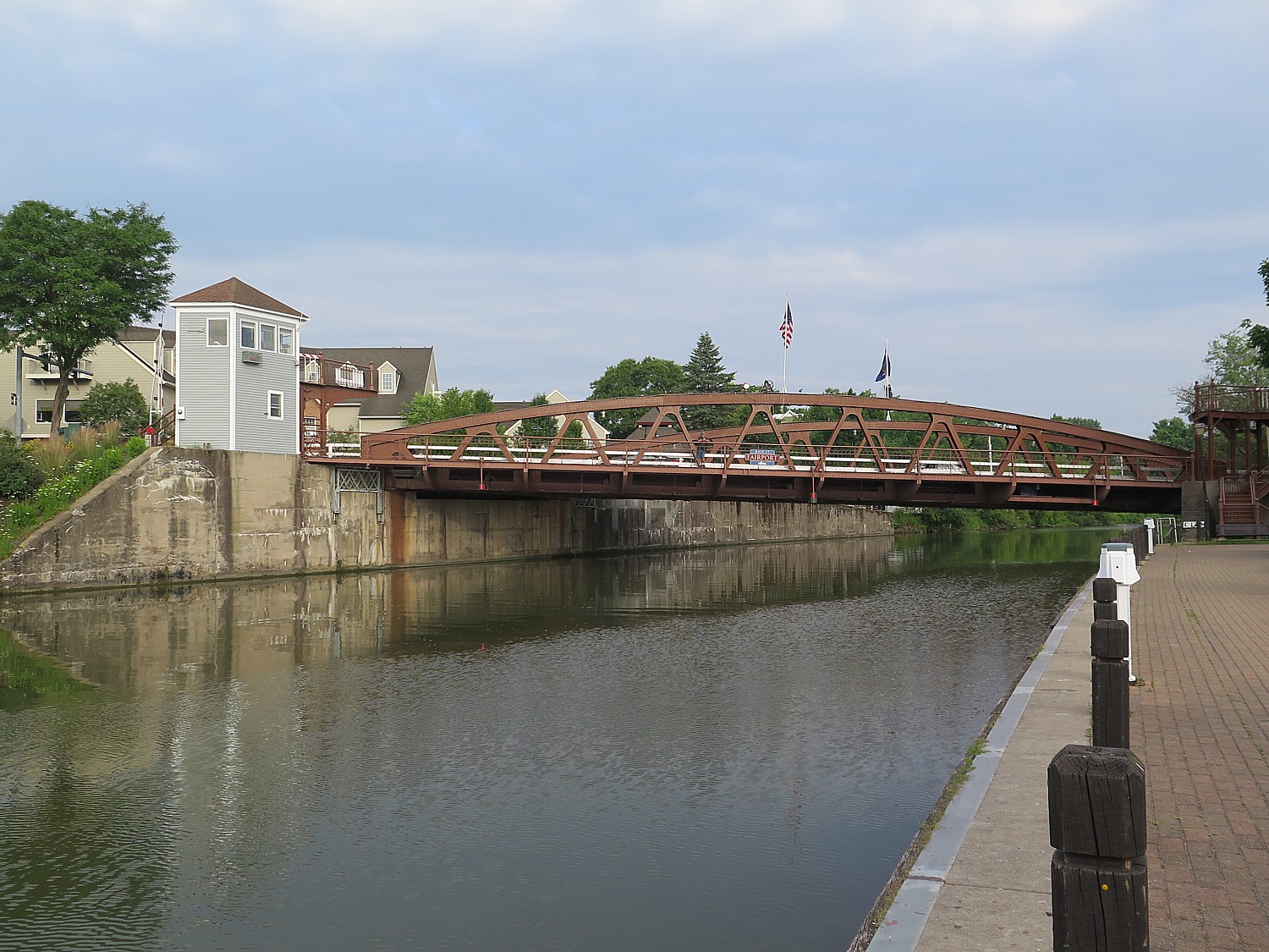
I race from the historic Asa Packer Mansion to the railroad station in the center of Jim Thorpe, Pennsylvania, where a ceremony is being held to open the new Mansion House pedestrian/biking bridge across the Lehigh River that eliminates a gap in the Delaware Lehigh bike trail. (See: Biking the Delaware & Lehigh Trail, Showcased on Rails-to-Trails Conservancy’s Last Sojourn BikeTour)
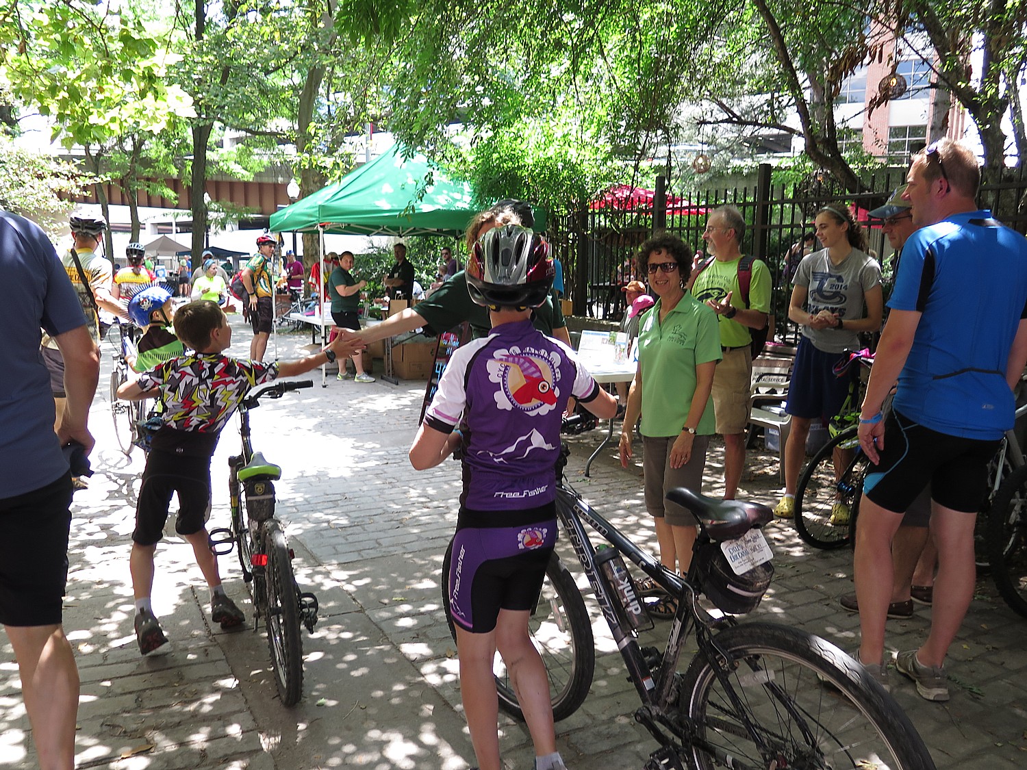
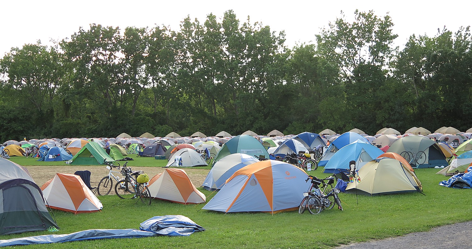
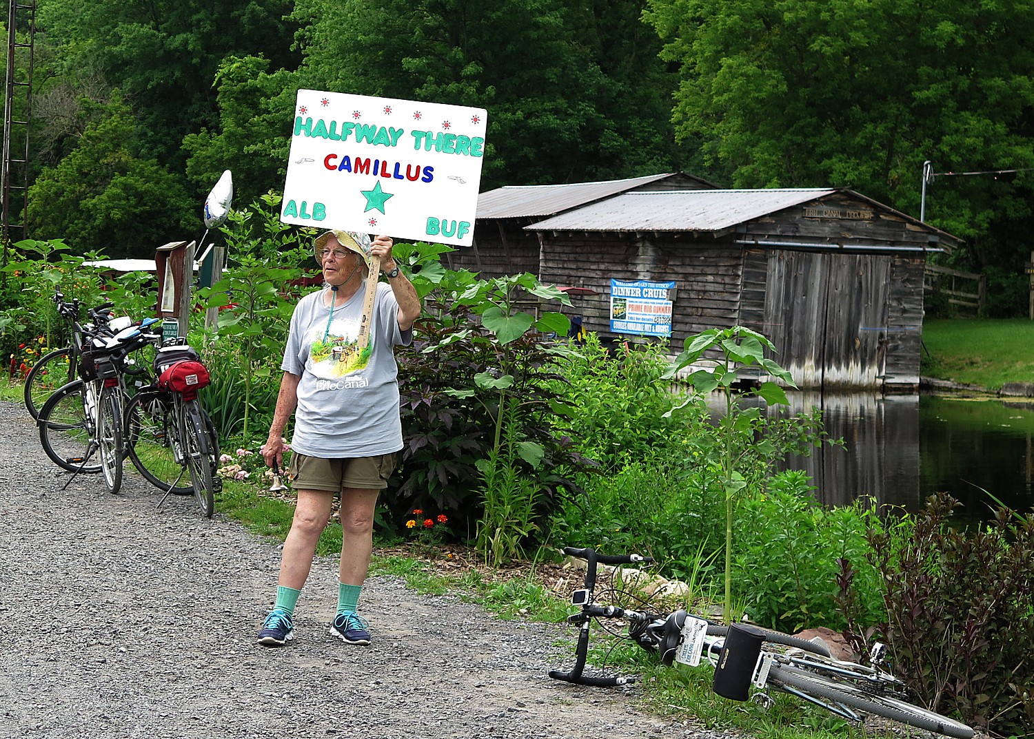
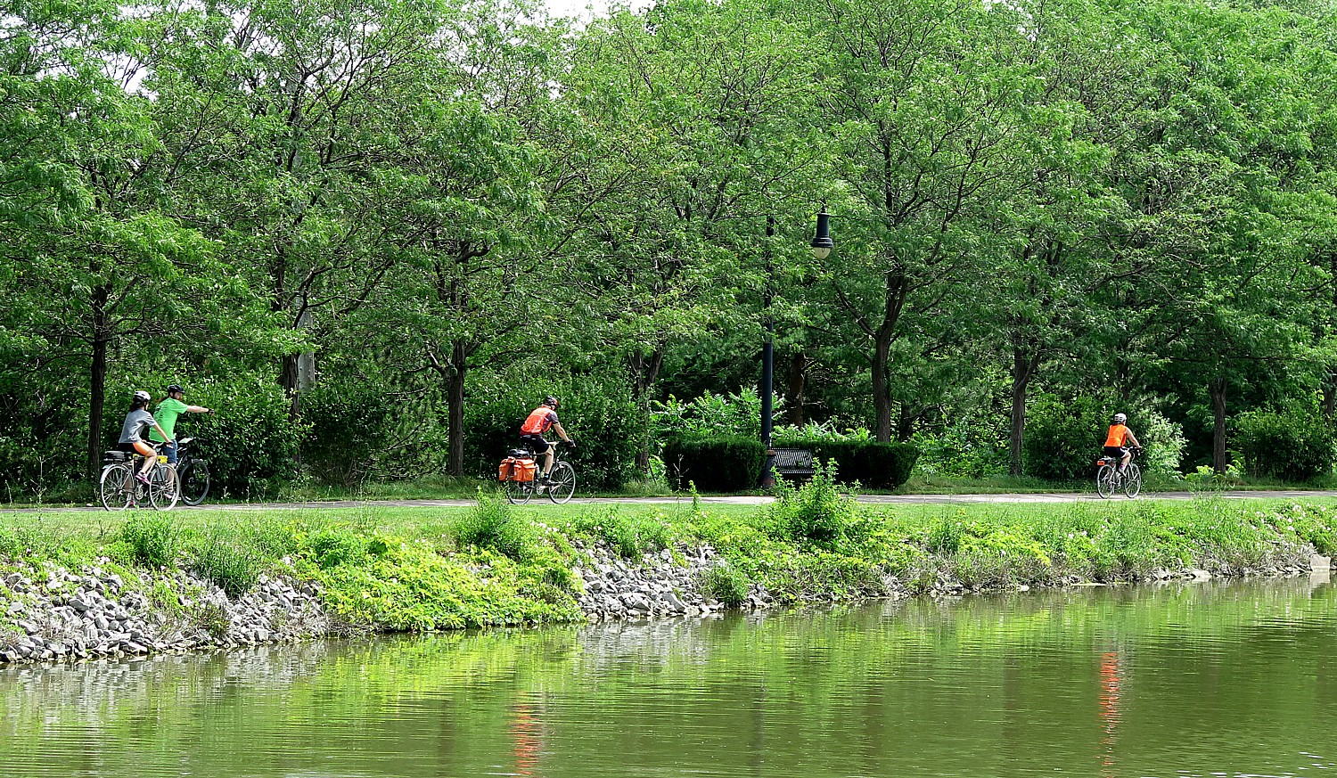
This wonderful celebration, led by the local bike club, gets the 300 Sojourners in gear for our longest ride, 48 miles, of our five-day, 160-mile Rails-to-Trails Conservancy Sojourn on the Delaware-Lehigh Trail through the picturesque Pennsylvania wilderness to Hugh Moore Park in Easton where we will camp for the night.
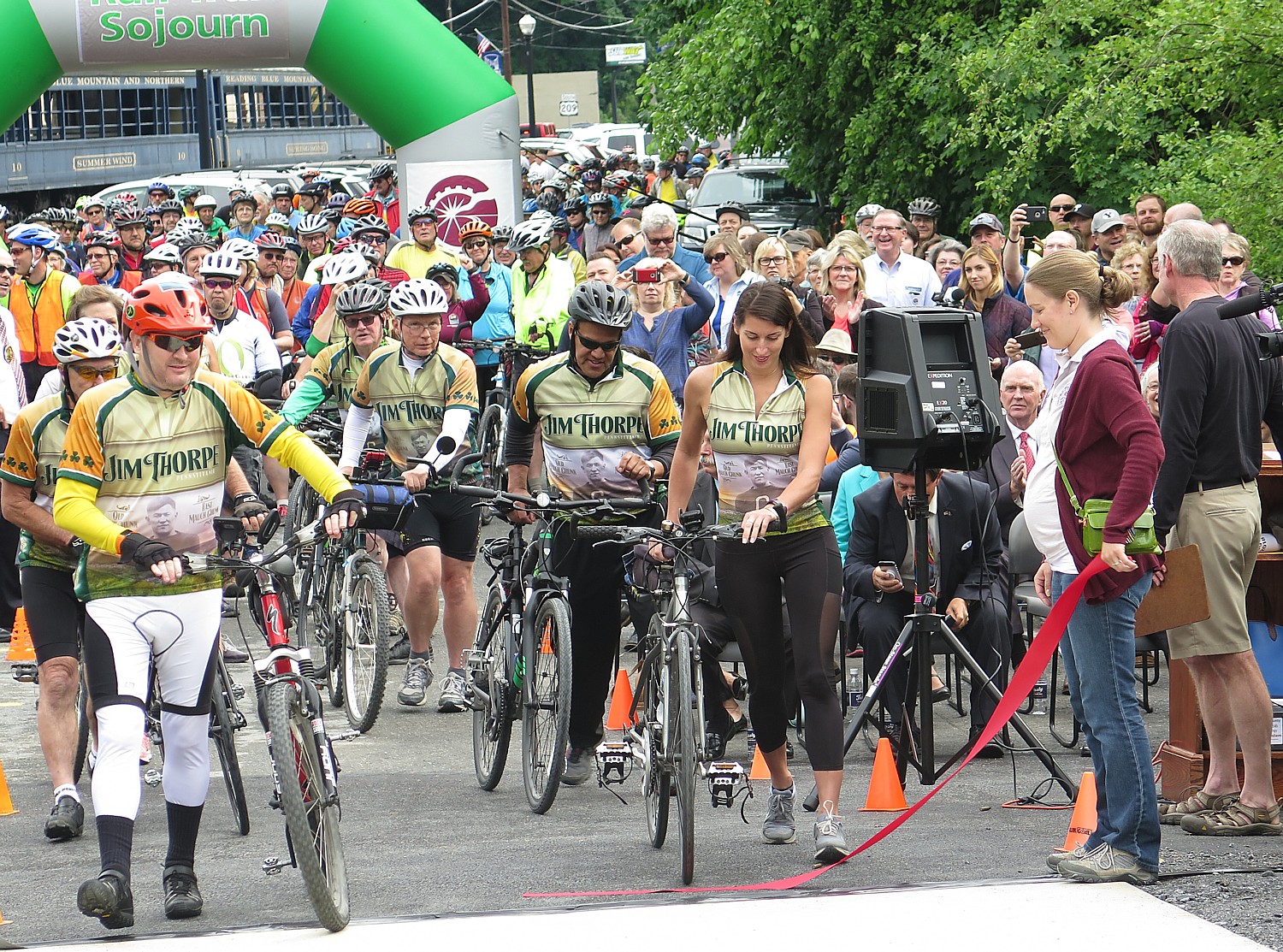
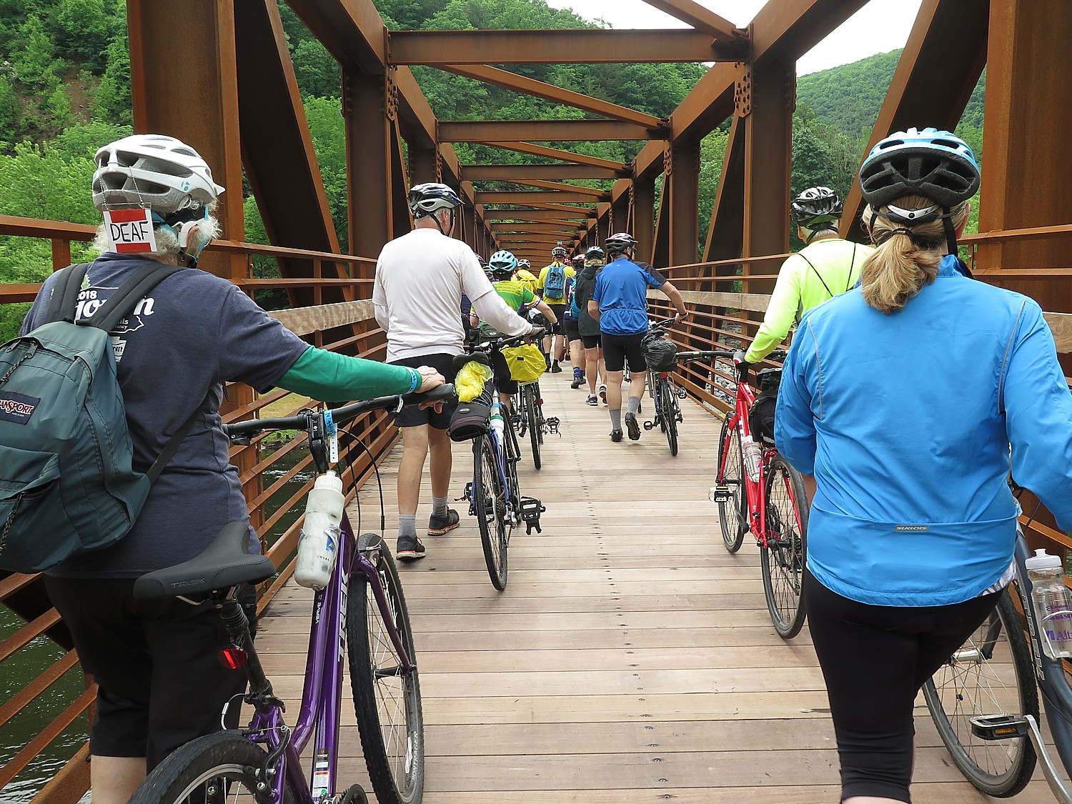
We follow after the Jim Thorpe Bike Club as the first across the bridge, an achievement 25 years in the making.
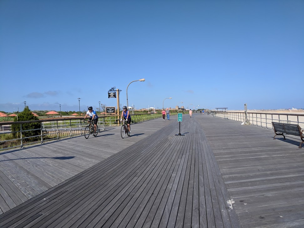
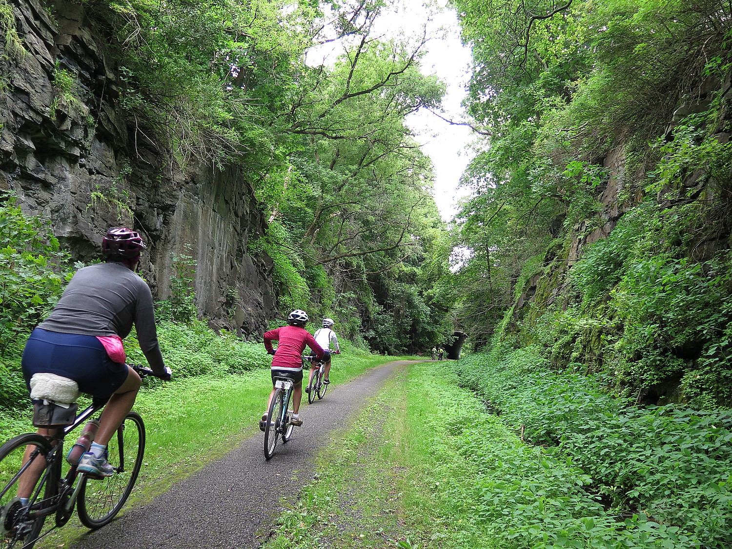
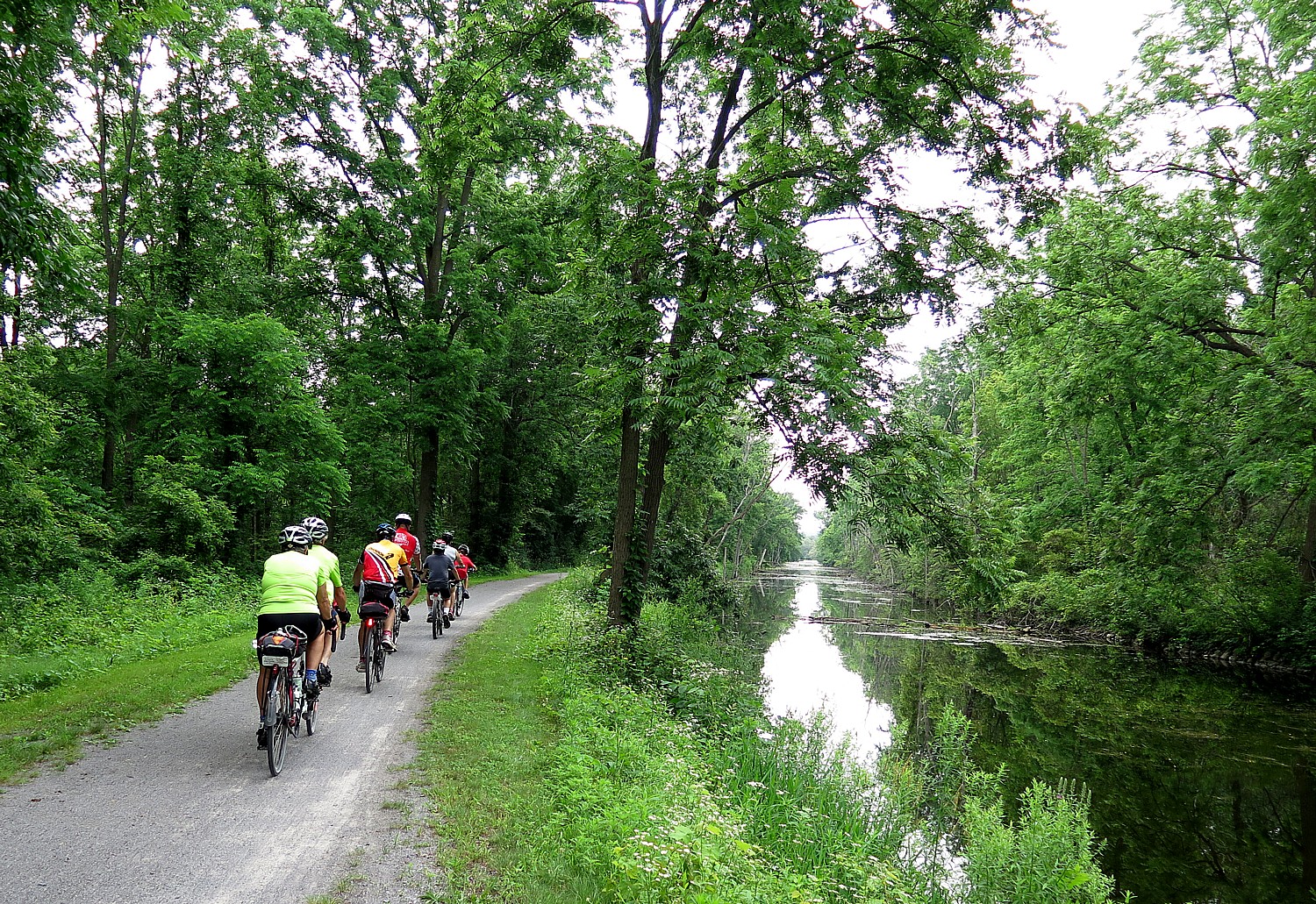
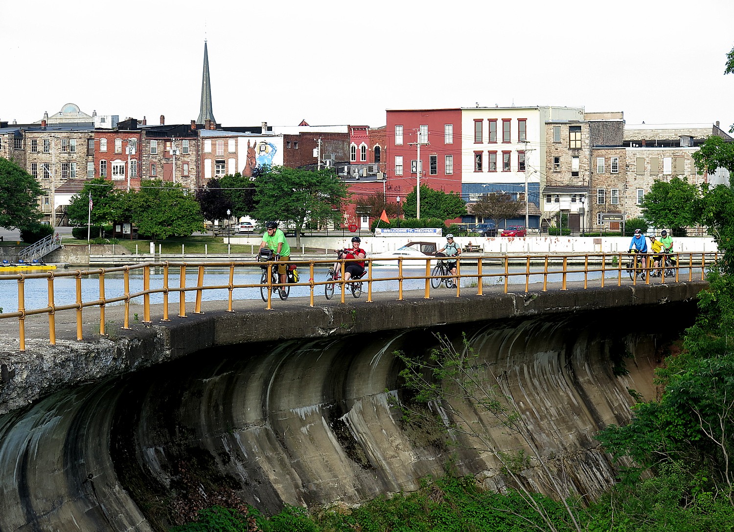
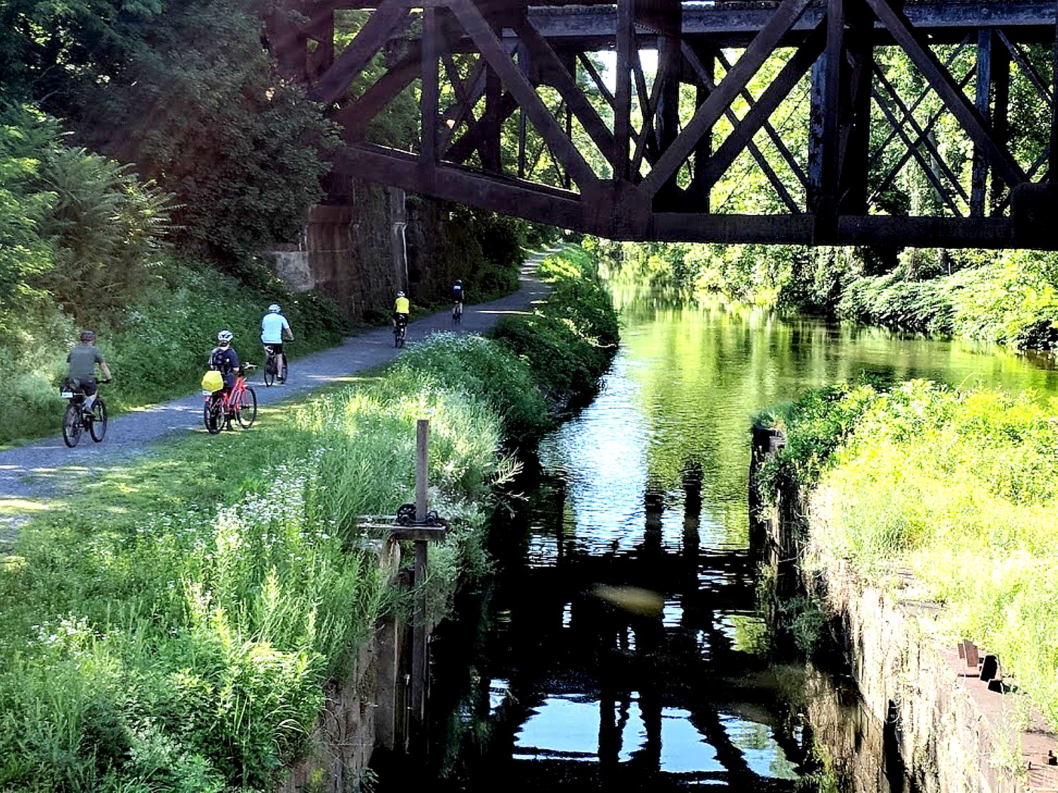
Around midday, we navigate a complex gap in the D&L Trail onto city streets. Indeed, drawing attention to such gaps, and the coalition working to improve them, has been one of the objectives of these annual Rails-to-Trails Conservancy Sojourn supported biketours. To date, an impressive 92 percent of the D&L Trail has been built—most of which we ride during this Sojourn—and the goal is to connect all 165 miles by 2022.
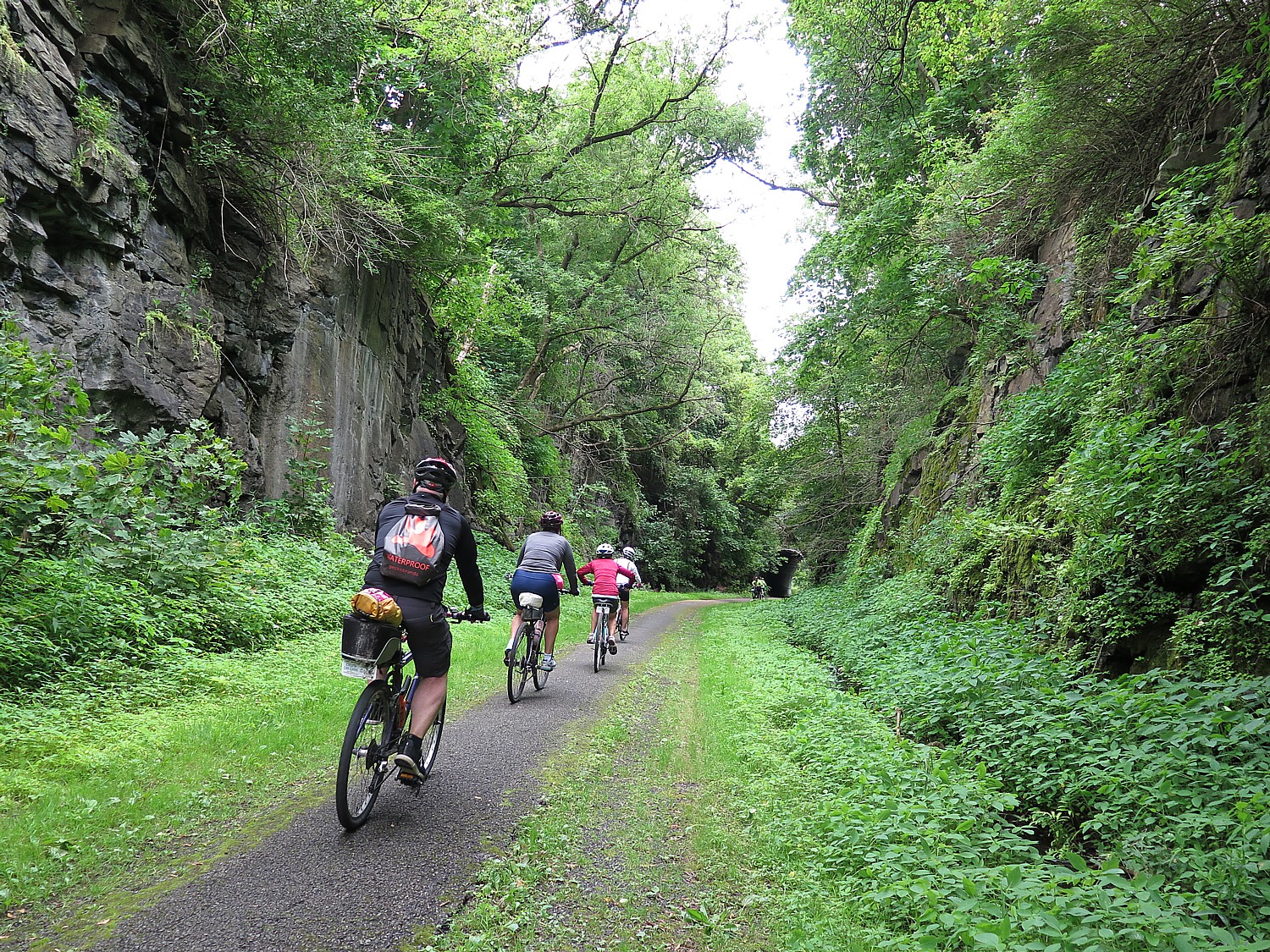
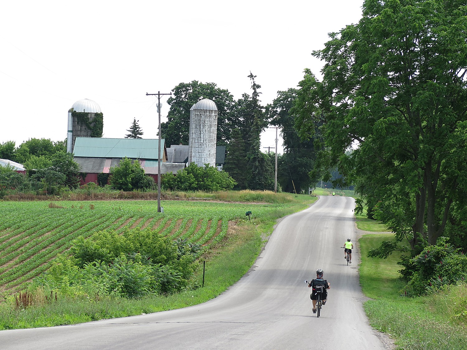
The trail condition has been surprisingly good considering yesterday’s drenching rain and even yesterday, the trail had enough hard-pack that our tires didn’t sink into mud.
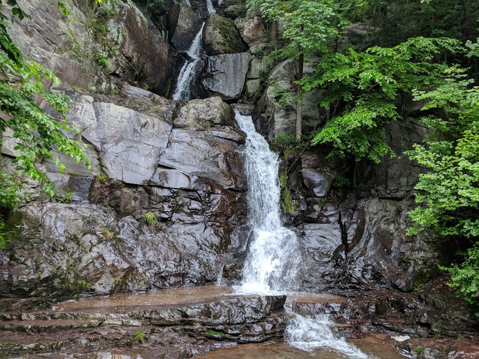
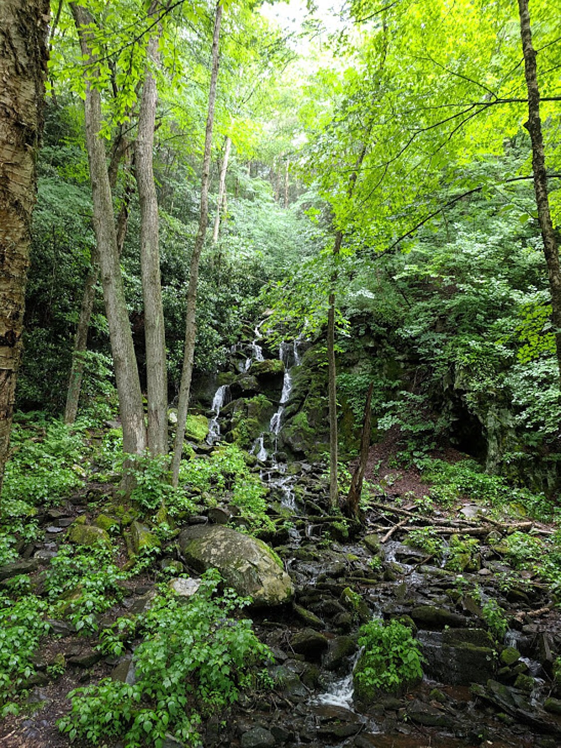
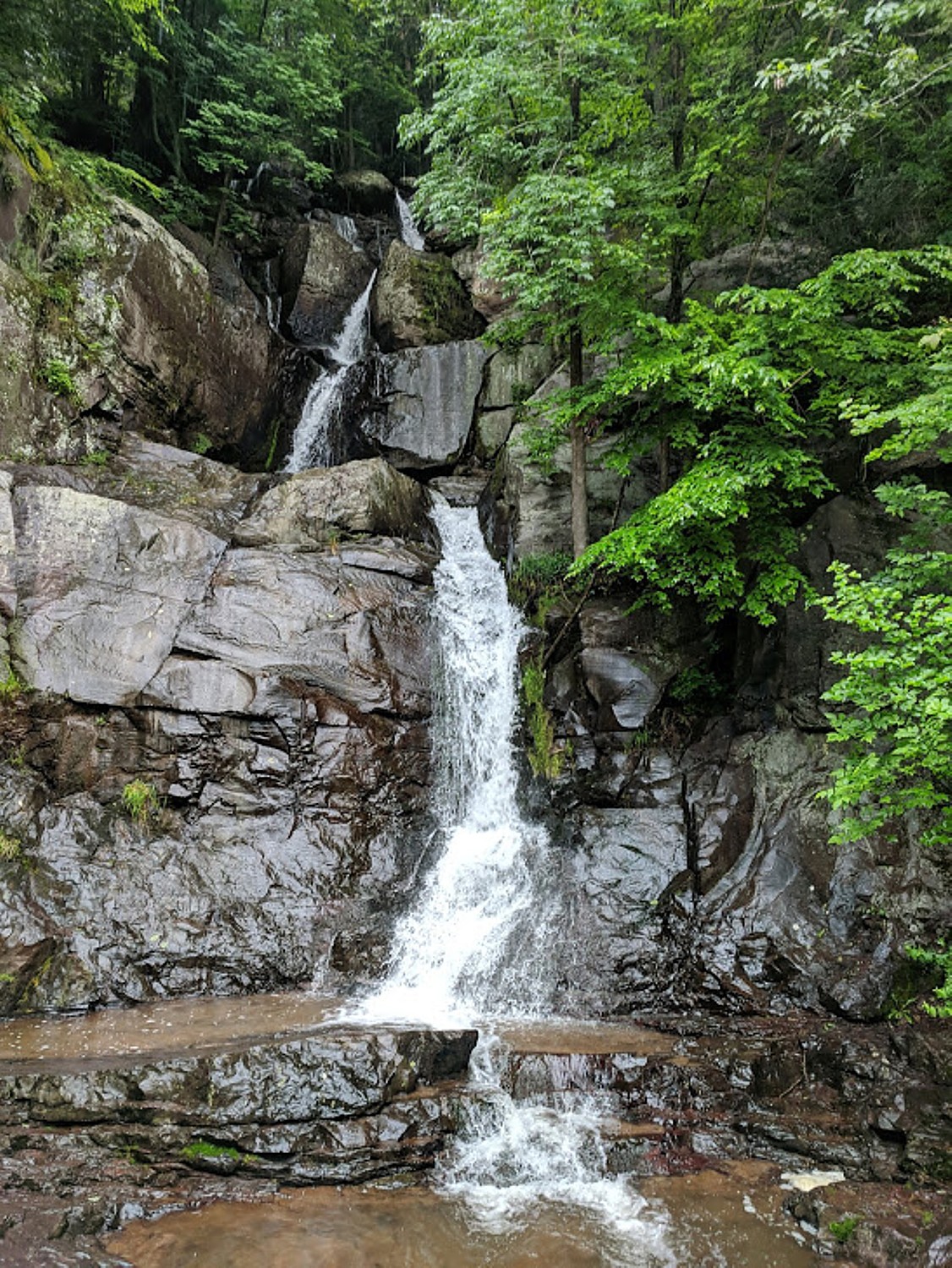
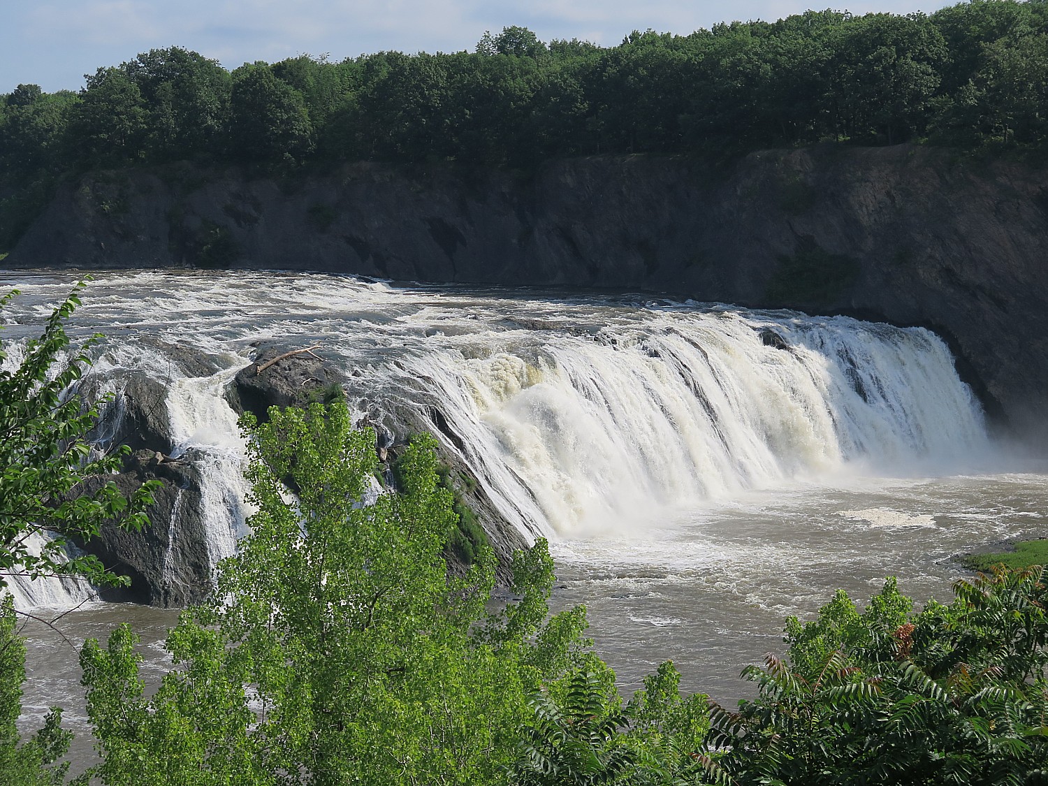
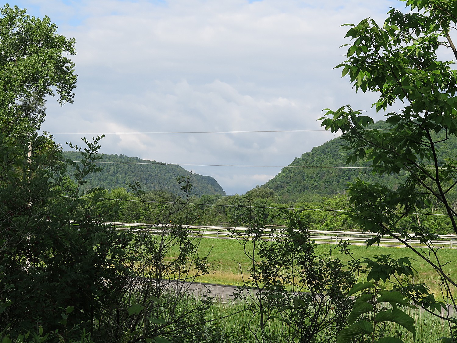
Yesterday, as we rode downhill from the highest point, deep in Pennsylvania’s coal mining country, the beauty of the wilderness section of the trail was hard to appreciate through the rain (though nothing could mar the exquisite beauty of Buttermilk Falls).
But on this June day, the weather is sunny with a cool breeze, just perfect for biking.

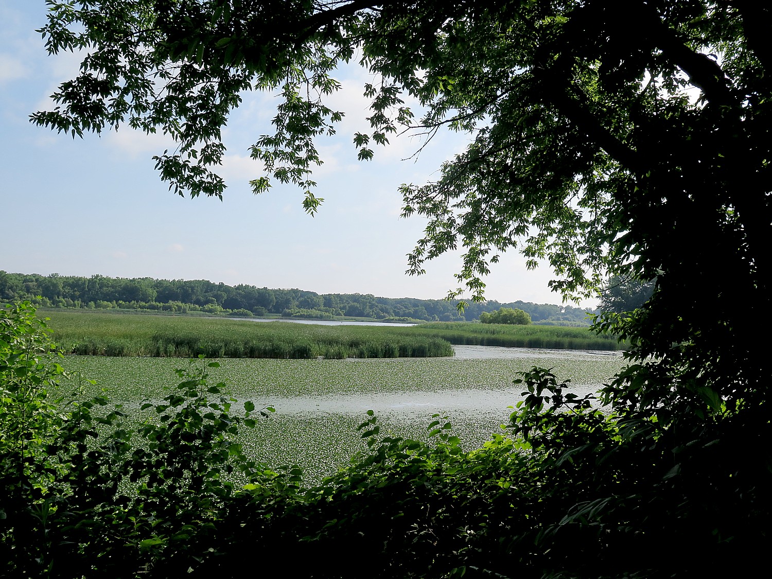
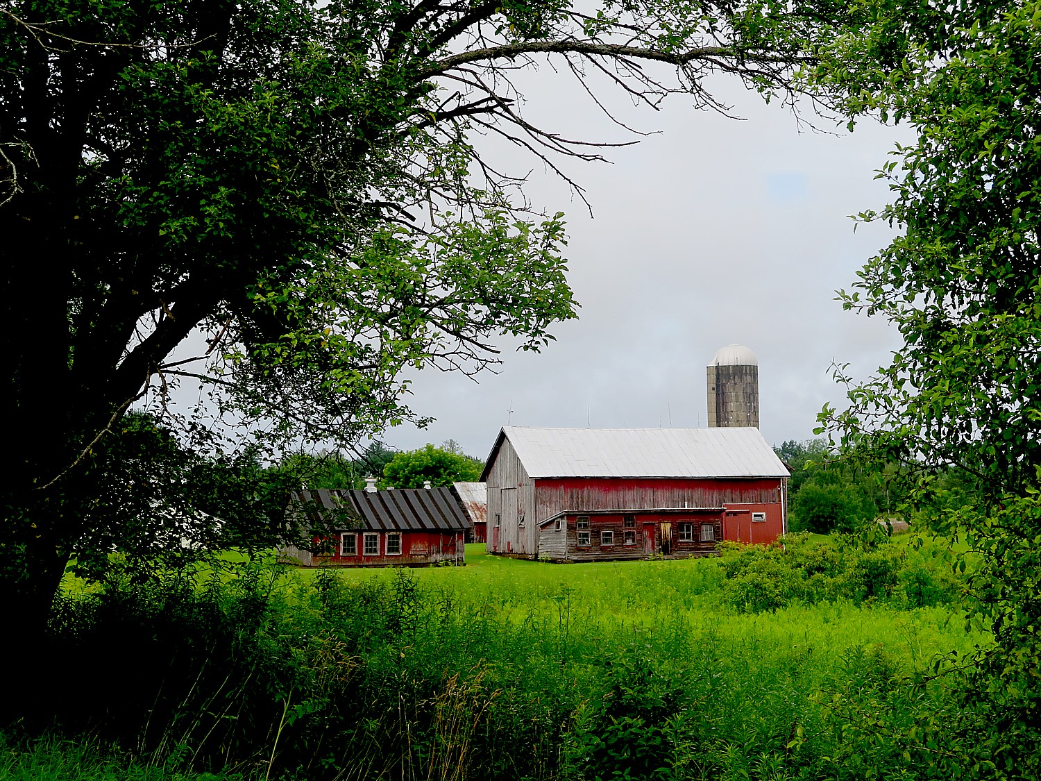
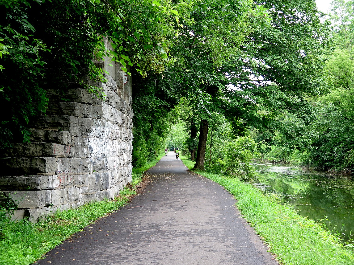
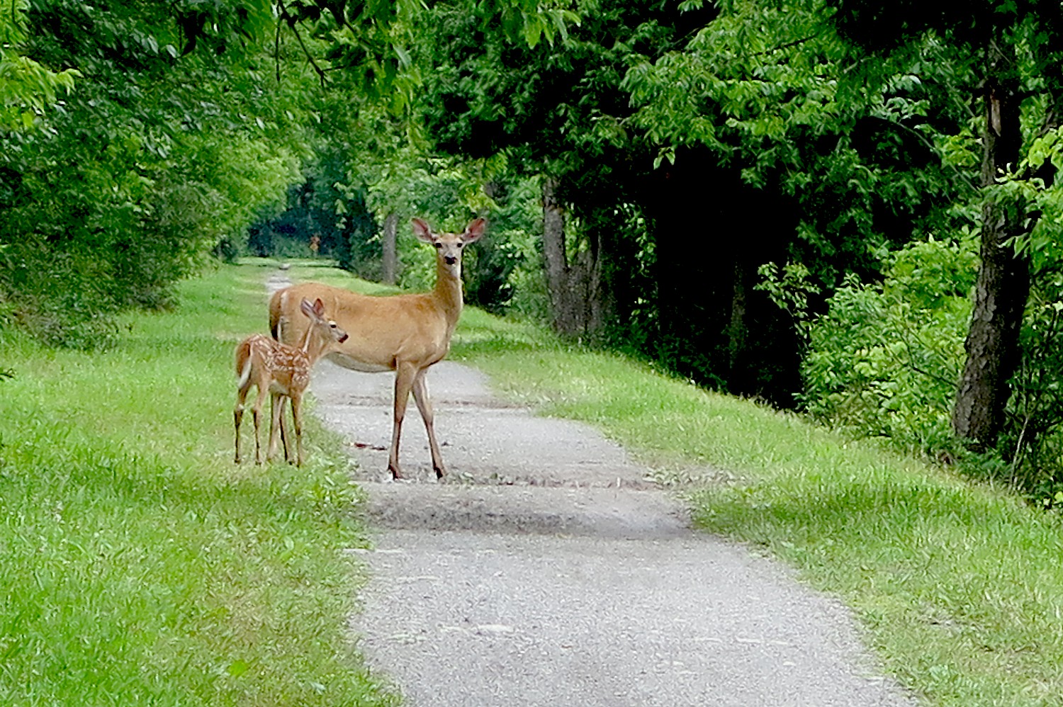
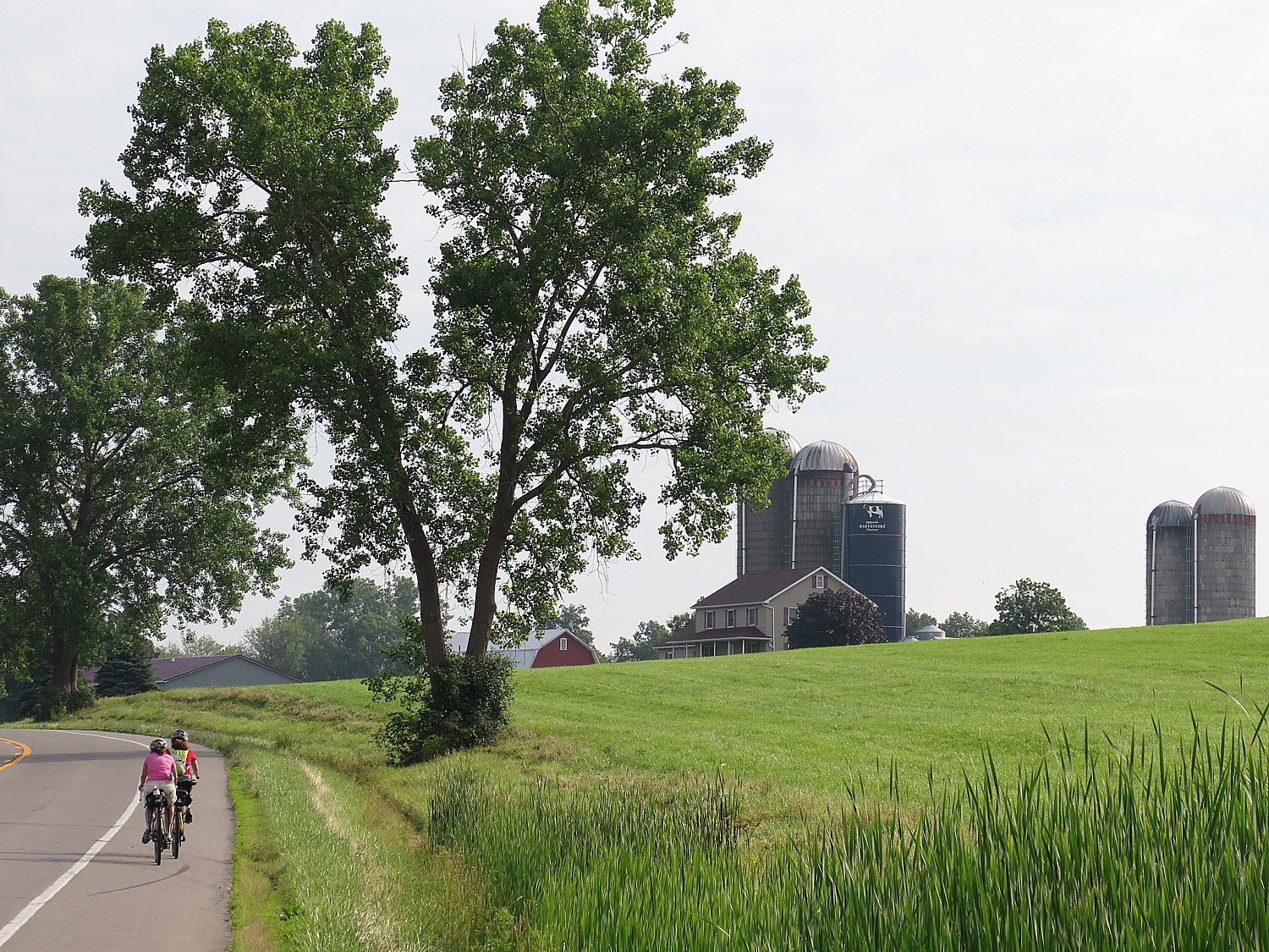
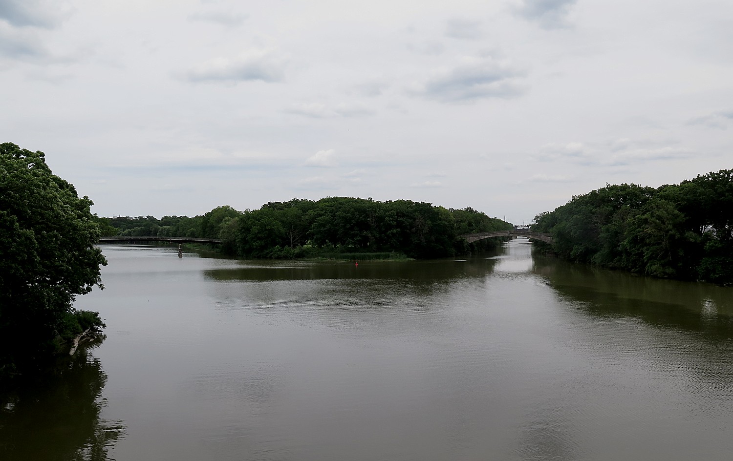
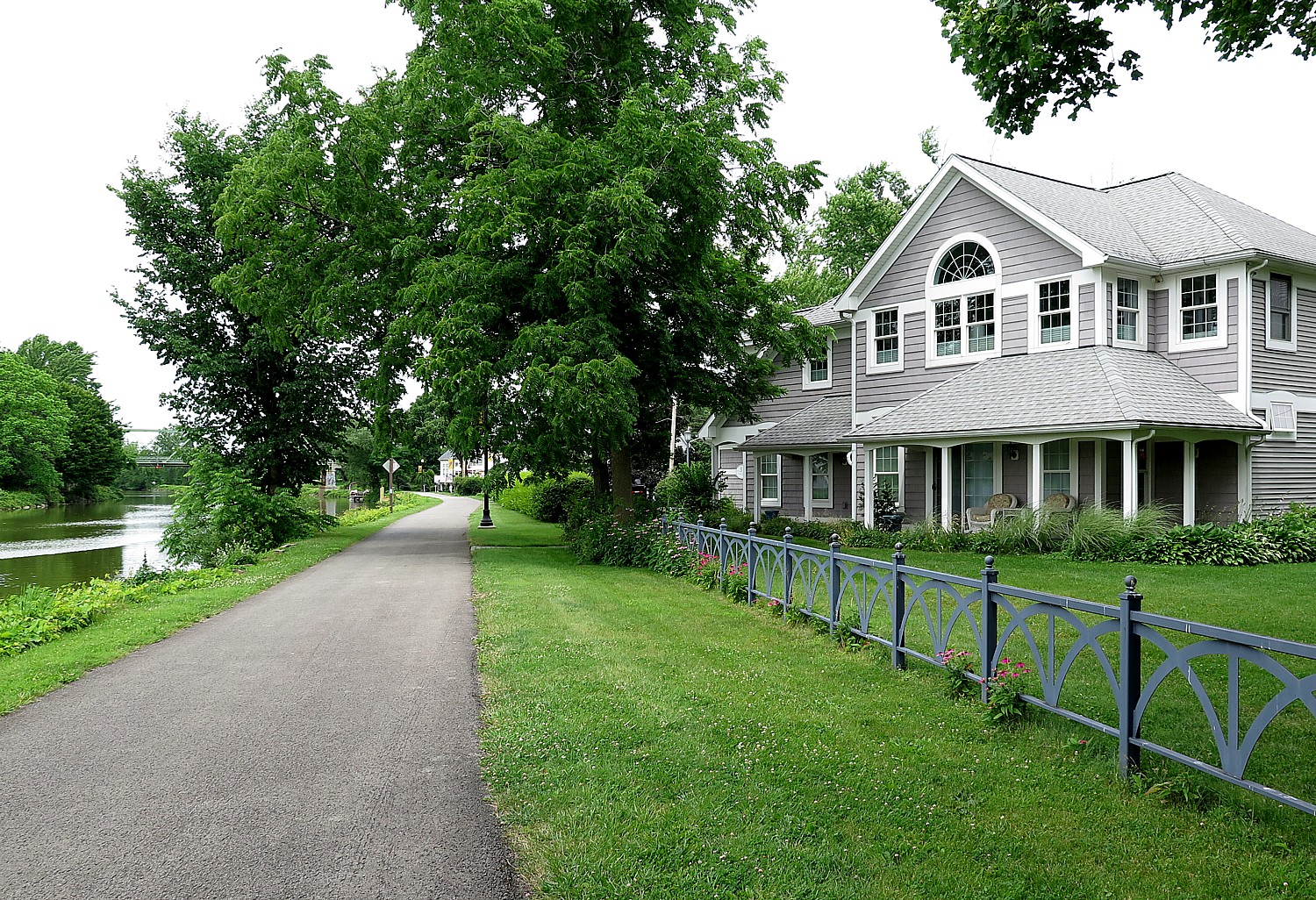
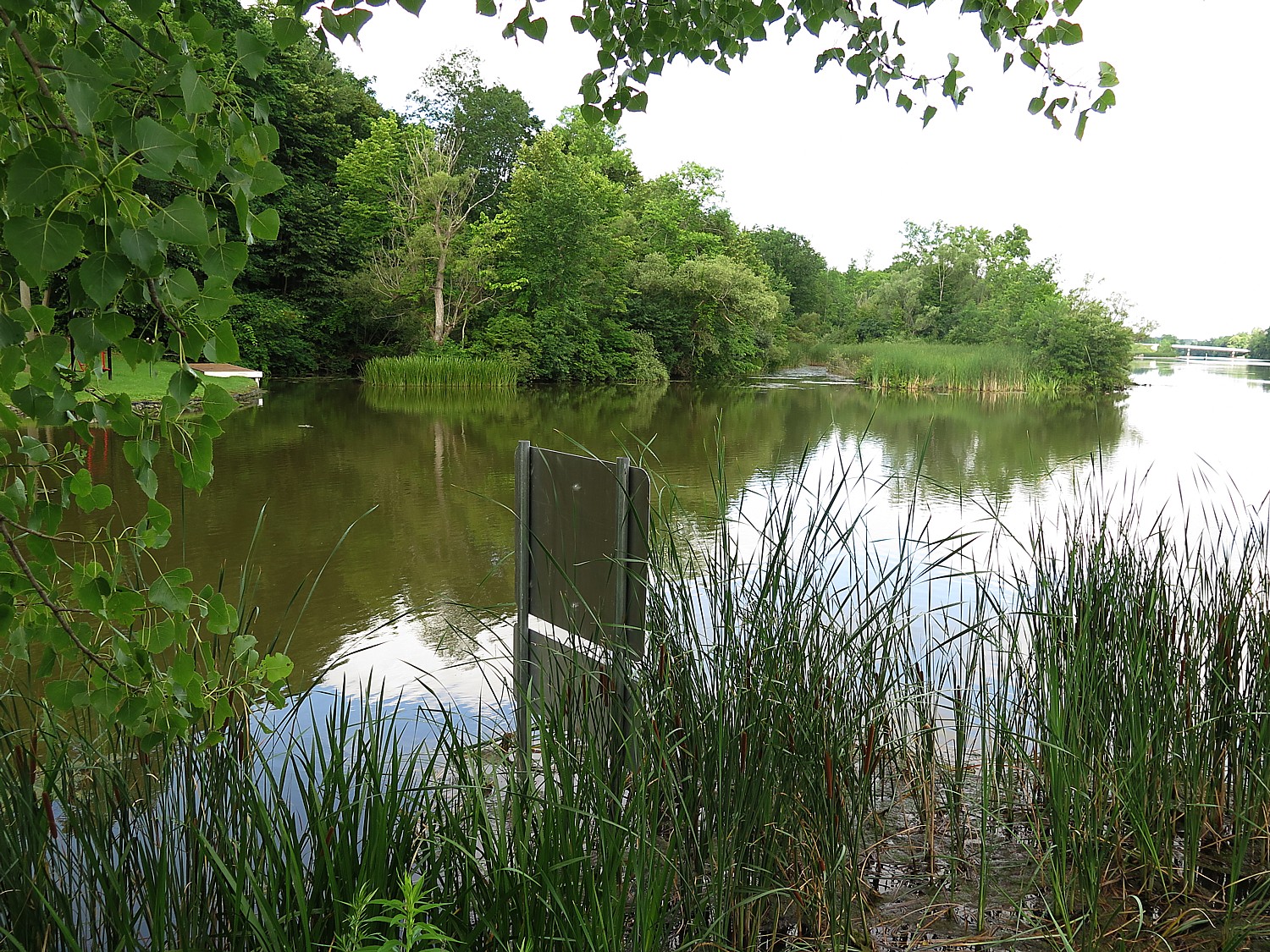
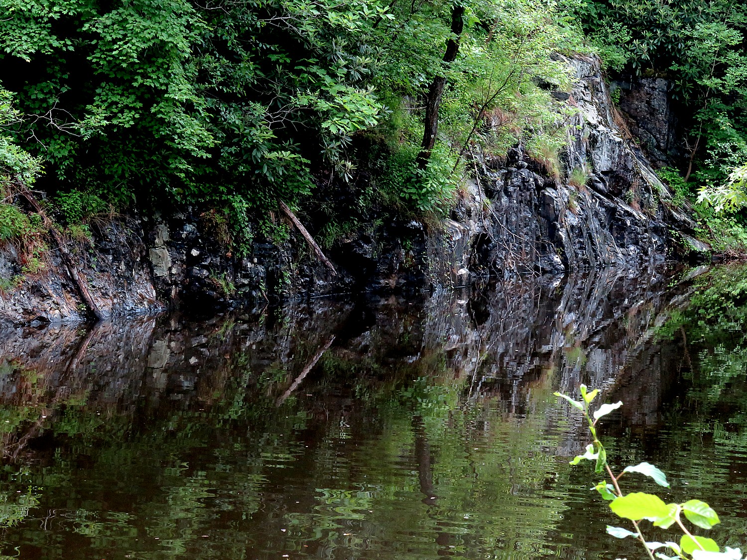
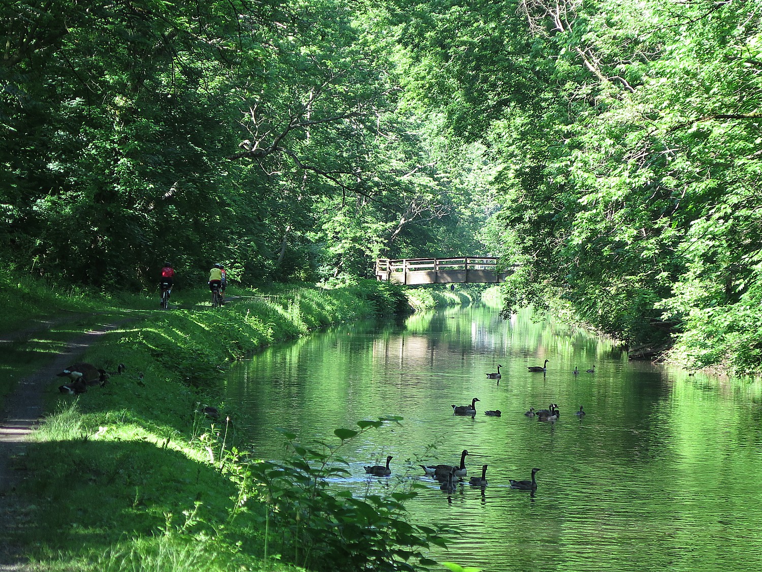
We get to see just how beautiful the trail is – much of it following a narrow canal on one side or the other. The trail is built on the original towpath, which is essentially a built-up berm. We see rock walls, lily pads. The scenery and joy of biking produce a feeling of euphoria.
We come to the Lehigh Gap Nature Center, a non-profit conservation organization at the foot of the Kittatinny Ridge, which is like an oasis to us. The center is dedicated to preserving wildlife and habitat through conservation programs such as the Lehigh Gap Wildlife Refuge, educational programs such as the Kittatiny Raptor Corridor Project as well as research. I linger in the butterfly garden before setting out again. (8844 Paint Mill Rd, Slatington, PA 18080, 610-760-8889, http://lgnc.org/)
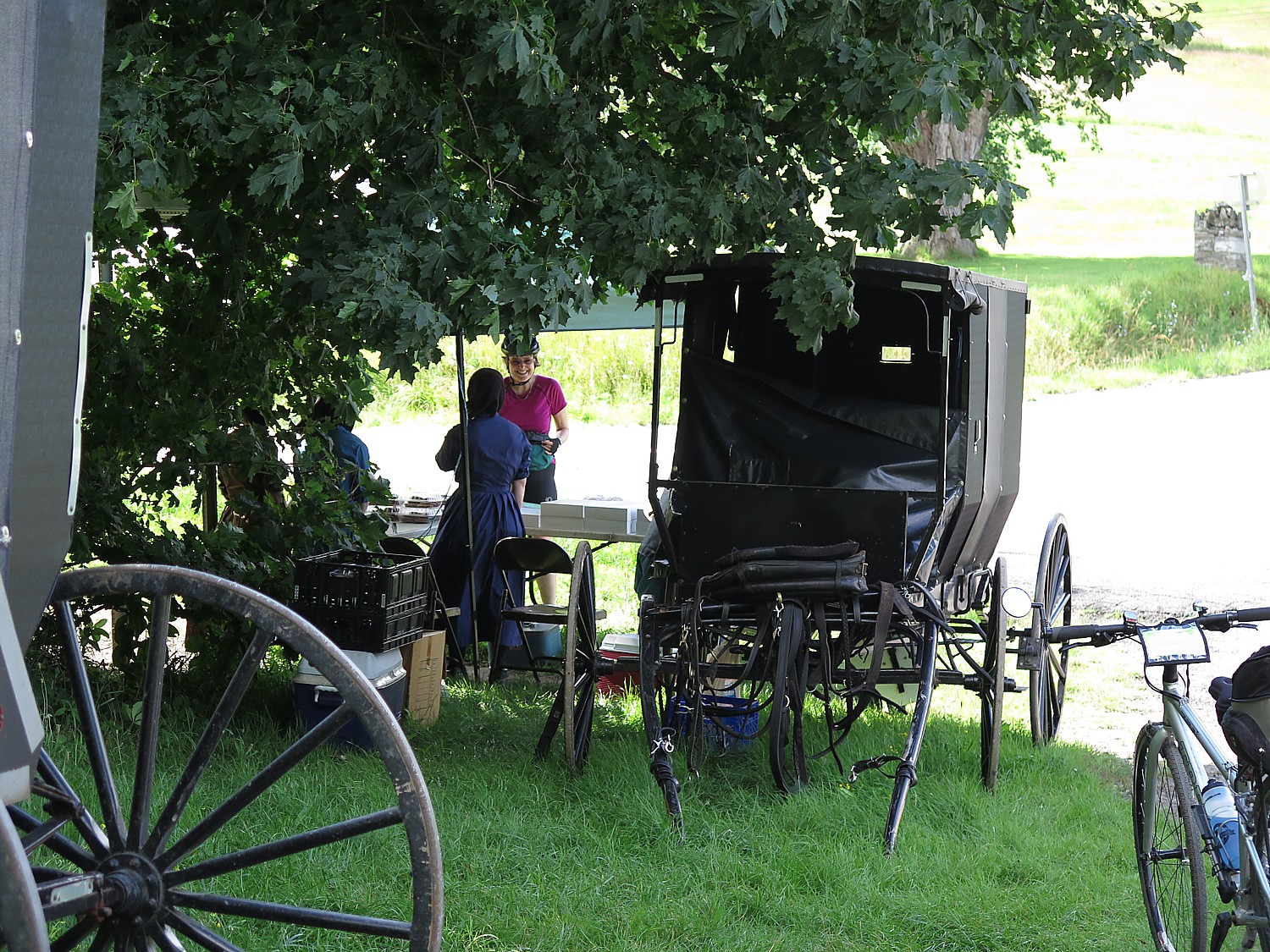
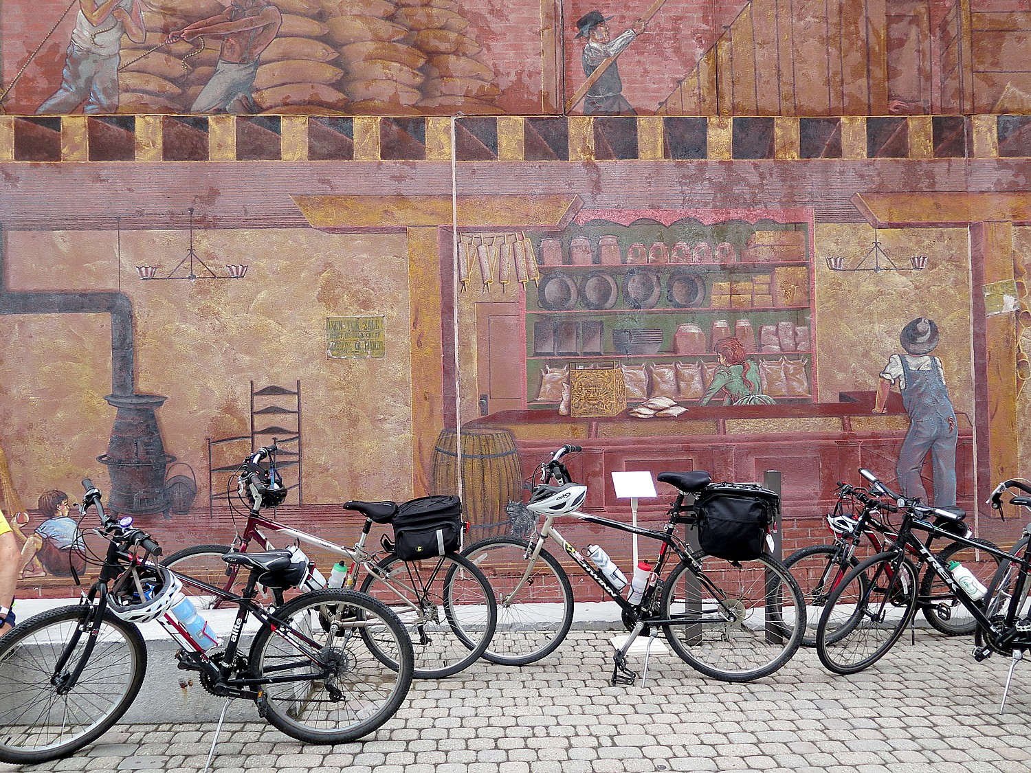
Just beyond, we Sojourners are treated to a catered lunch in a park, where we can sit comfortably under a pavilion.
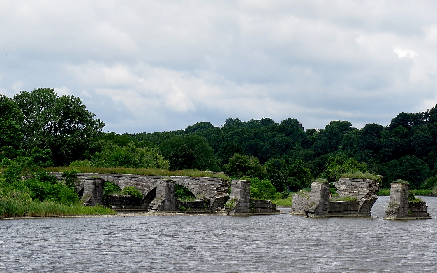
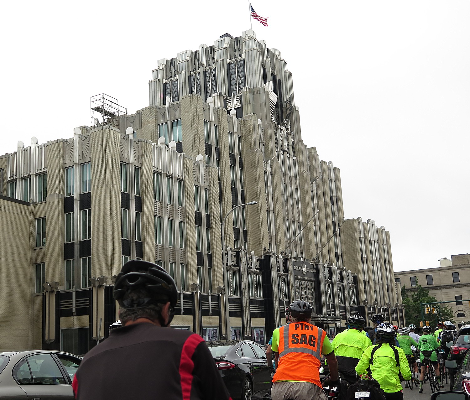
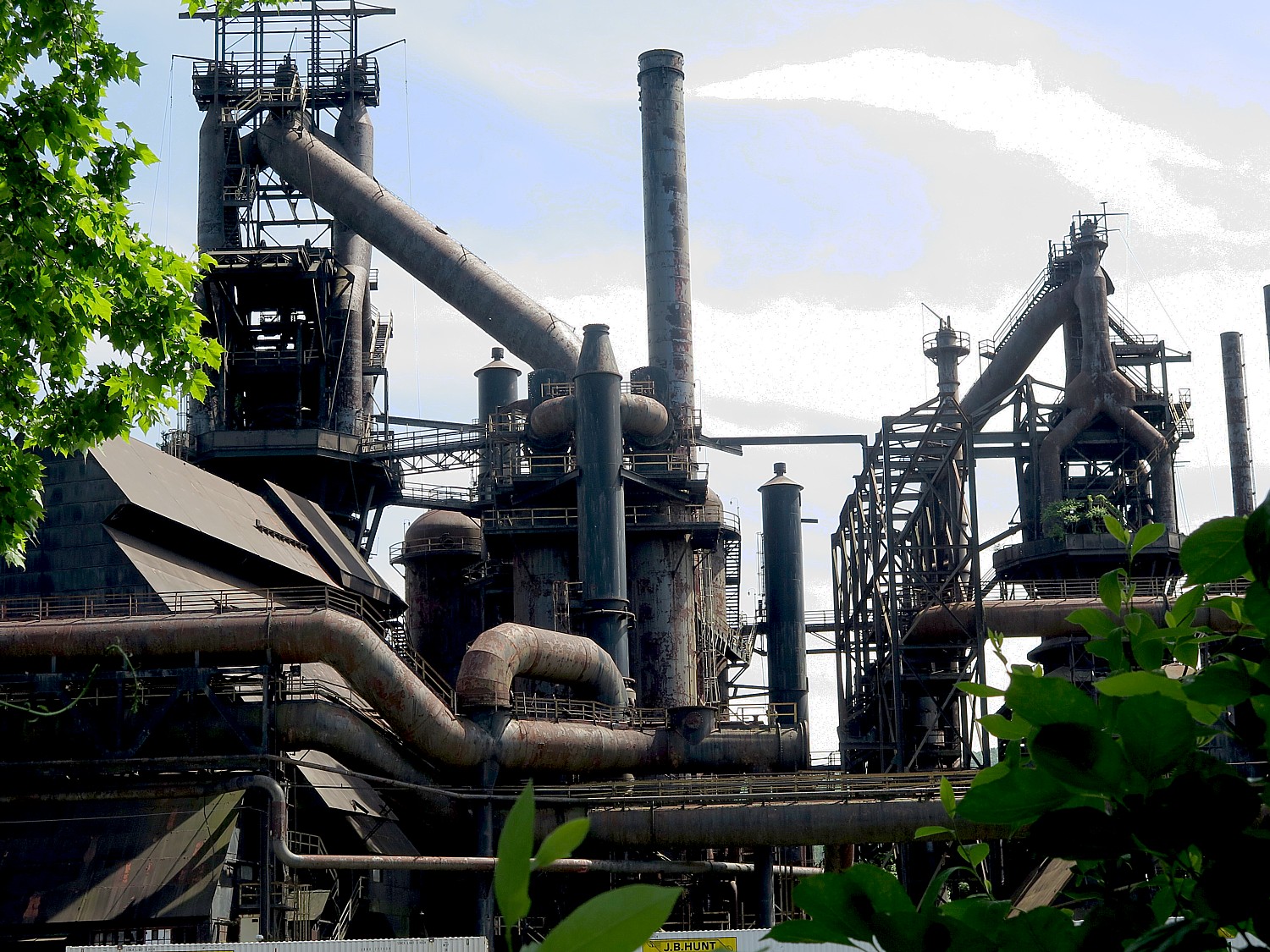
Riding on, we come to an island that consists of a shuttered steel mill that today stands somewhat surreally like an abstract sculpture.
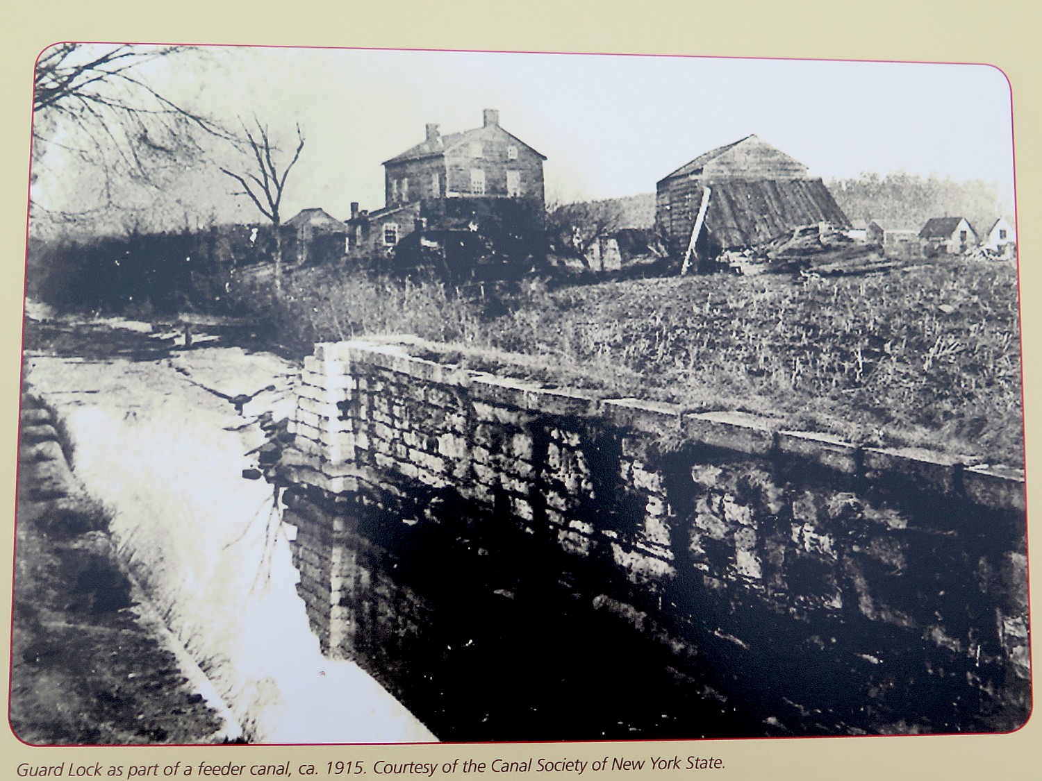
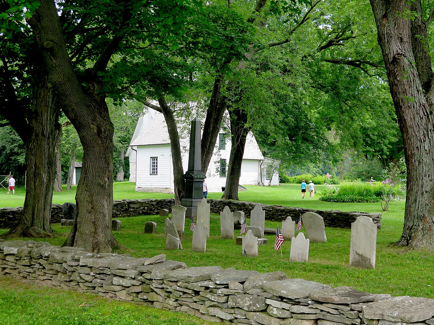
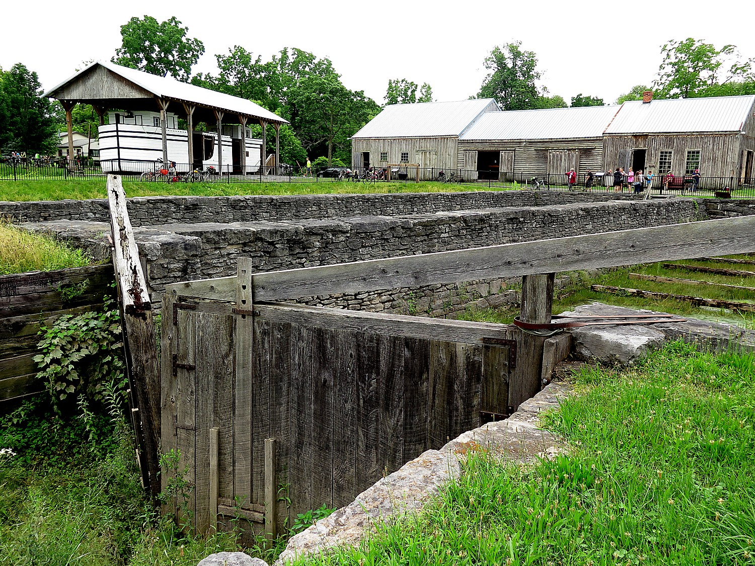
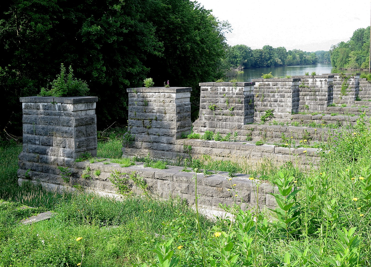
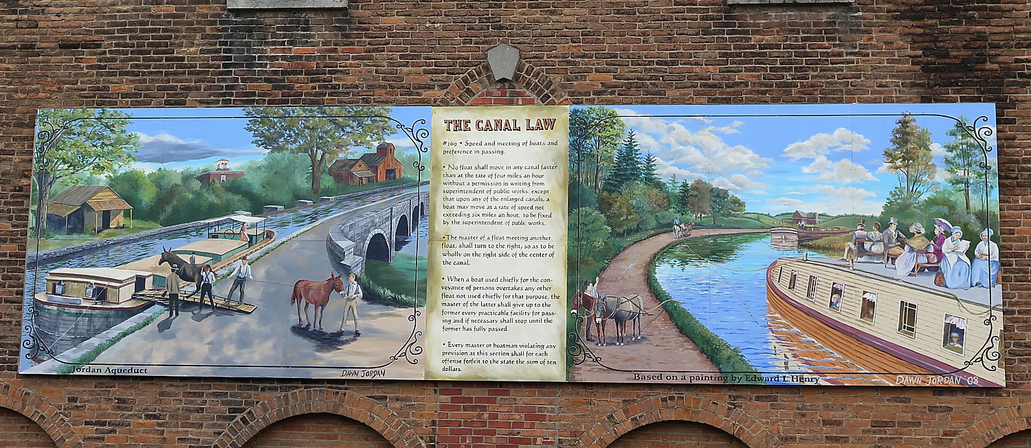
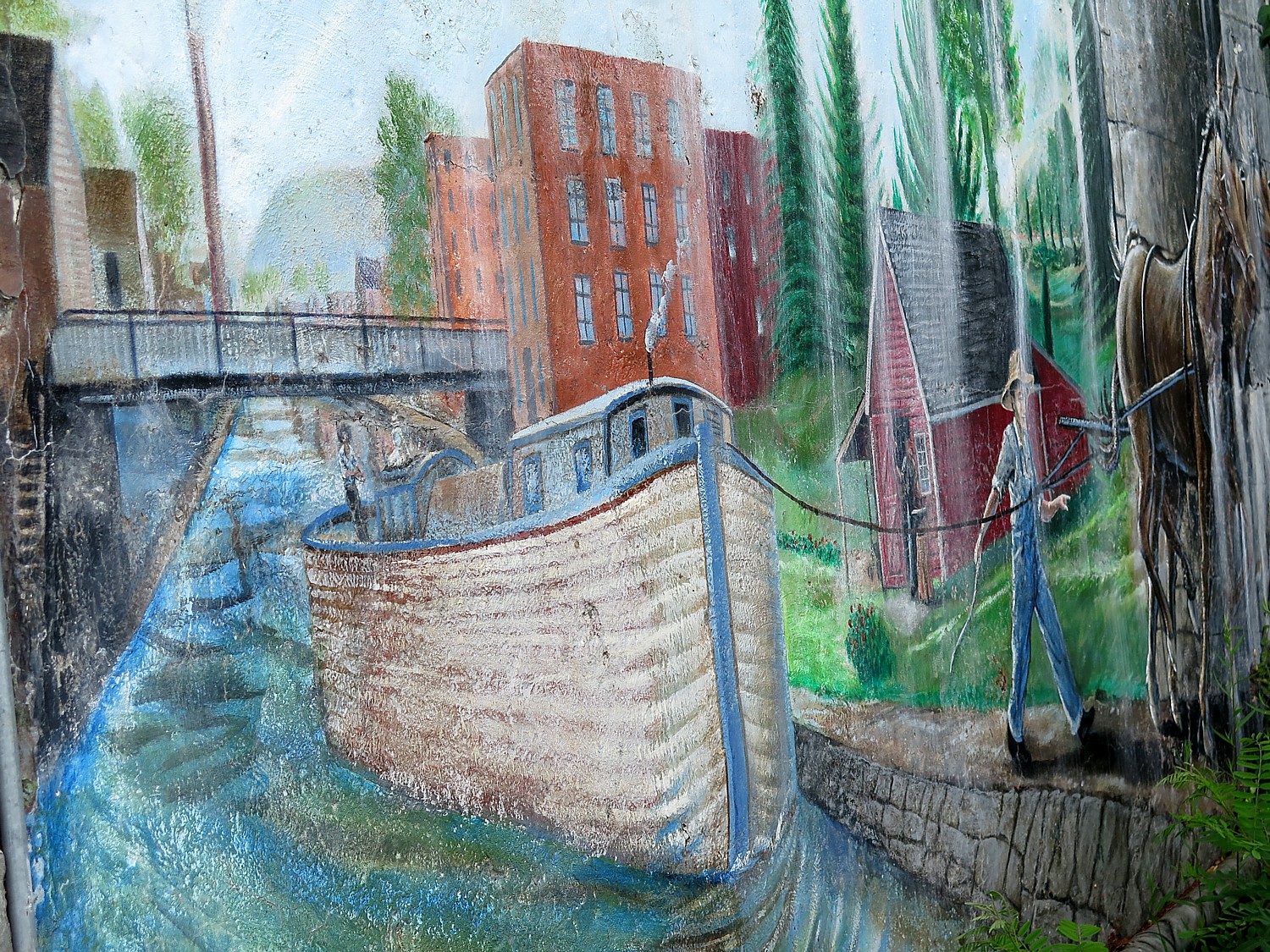
Along the way, we come upon what is left of the original canal locks – stone walls, wooden gates with metal latches and gears, remnants from the mid-1800s.
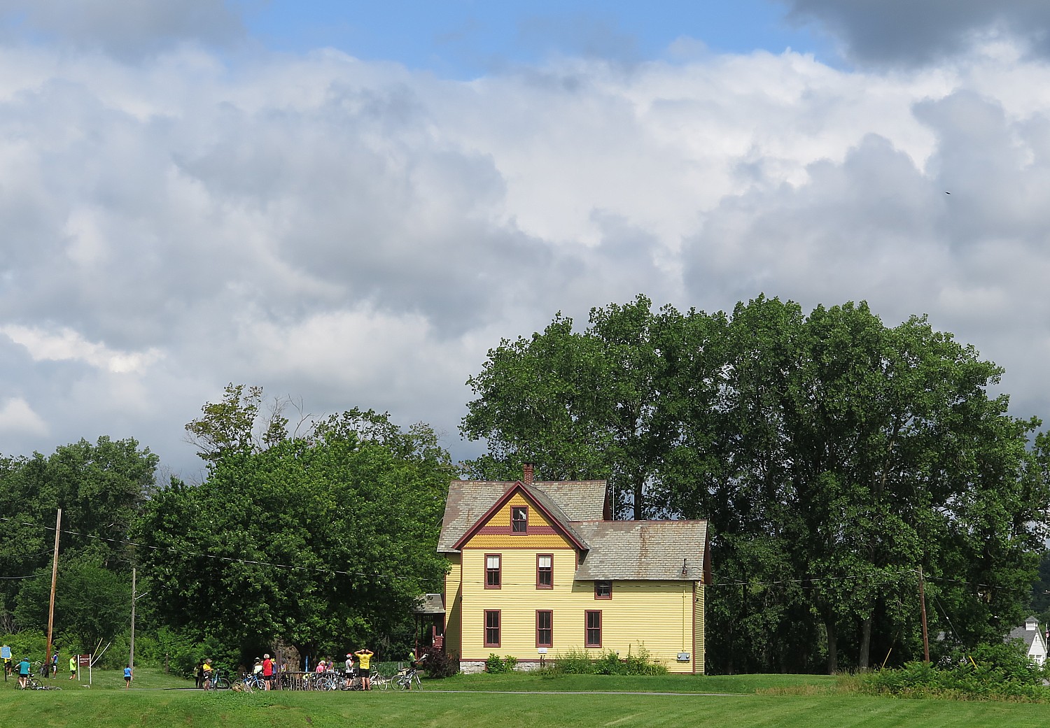
At Freemansburg, we find a lockmasters house, the remains of the locks and a mill, and I am delighted to find the site manned by interpreters in period dress. I ask if the village was settled by freemen and am told that it was named for one of the original settlers, Richard Freeman.

Freemansburg is a classic example of a canal town with houses and structures built up against the waterway that was the village’s lifeblood in the 1800s. Members of the Old Freemansburg Association (OFA) reclaimed a 1.5 mile section of the Lehigh Canal the Borough owns from overgrowth and debris and restored the towpath which became the D&L Trail. The OFA spearheaded efforts to protect and restore the 1829 Locktender’s House, mule barn, Lock No. 44, gristmill, and coal yard. Volunteers also reconstructed the barn using canal era tools and equipment, a project that took 10 years to complete. The multi-functional building now hosts weddings, educational sessions and interpretative demonstrations. (http://lehighvalleyhistory.com/history-of-the-borough-of-freemansburg)
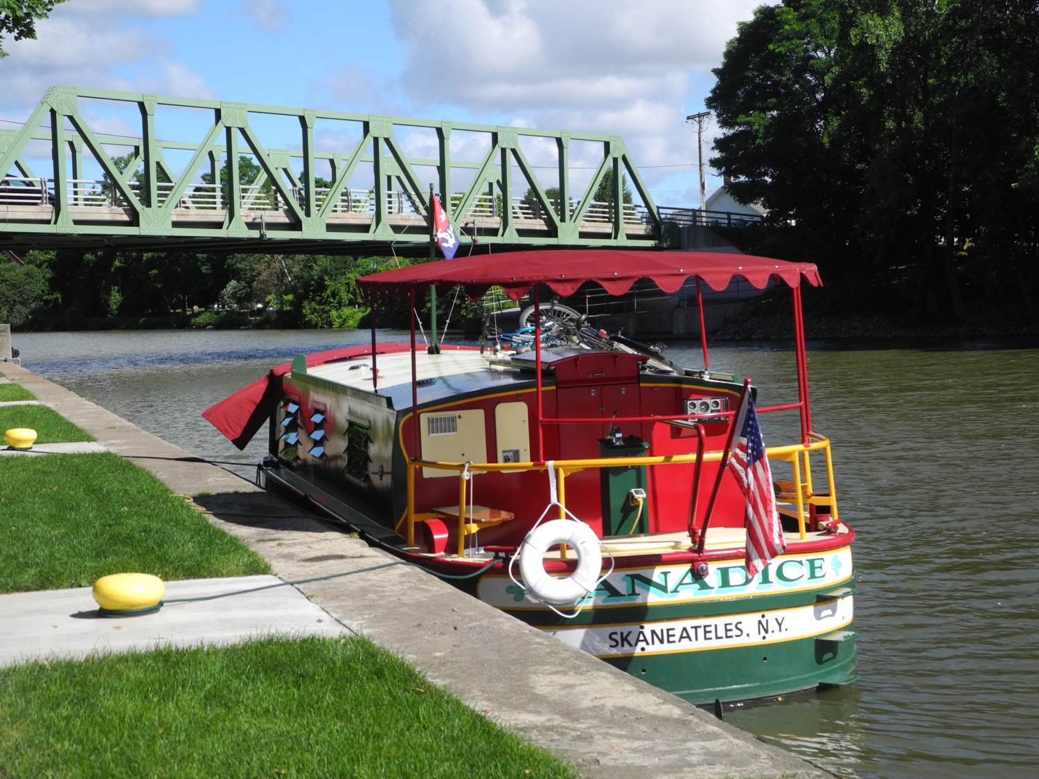
This proves a warm-up for what we will see during our overnight stay at the Hugh Moore Park and its major attractions, the National Canal Museum and the ride on a mule-drawn canal boat that has been arranged for us.
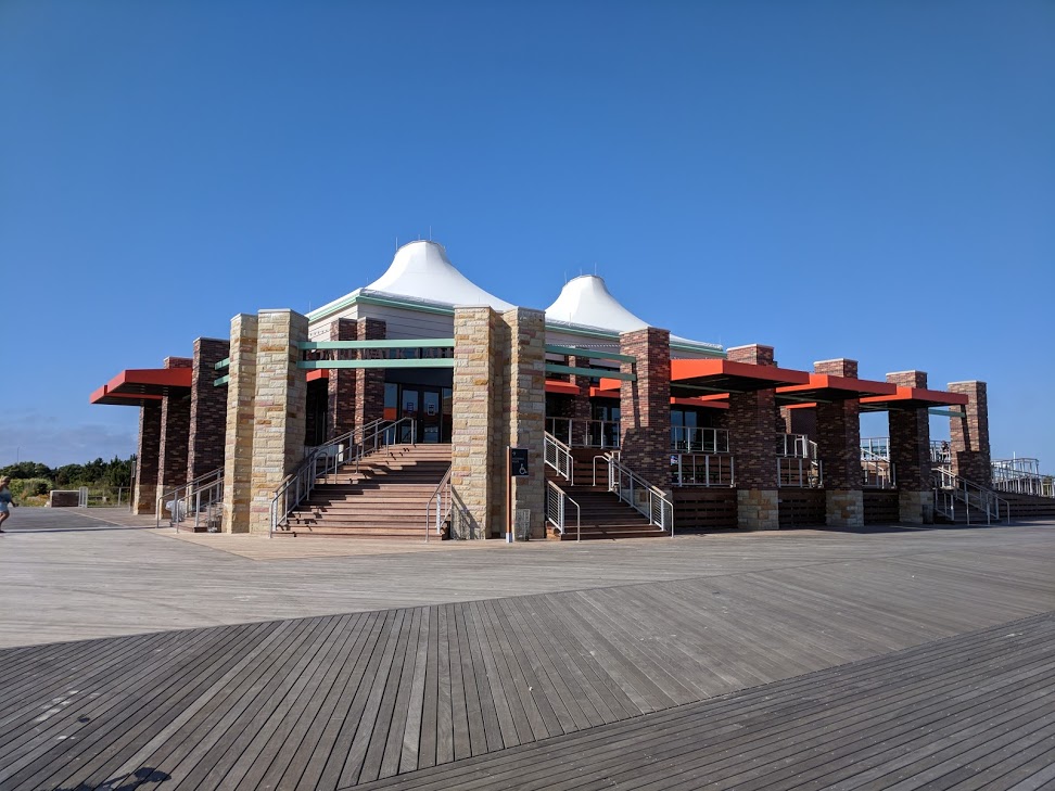
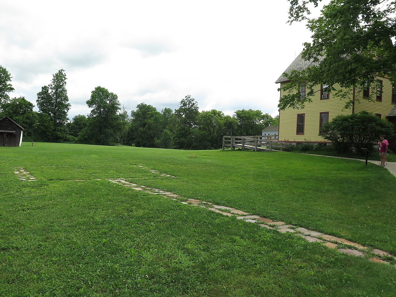
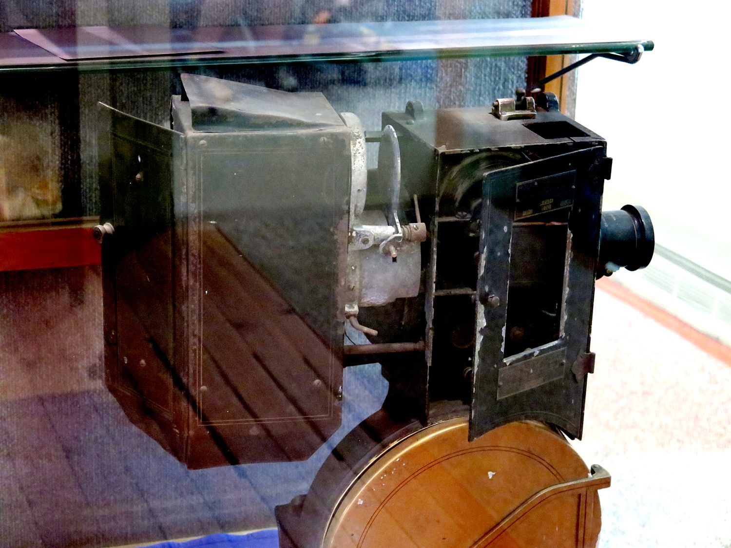
National Canal Museum, Hugh Moore Park.
Our 48-mile ride today ends at the home base in the 520-acre Hugh Moore Park, where we began and will end. With the Lehigh River, Lehigh Canal, the old Lehigh Valley Railroad, National Canal Museum, remnants of the oldest industrial park in the region, a Locktender’s House and one of only three mule-drawn canal boats still operating in America, the park offers a microcosm of the D&L story, and an absolutely delightful place for our second-night campout.
The Sojourn planners have specially arranged for us to have free cruise on the historic Josiah White II canal boat, all the more exciting because it is pulled by two mules and manned by a crew in period dress along this portion of the restored canal. You really get to appreciate what it was like for these families who operated the canal boats that carried the anthracite coal from the mountains to Philadelphia. At one time mules pulling canal boats on narrow towpaths would have been a common sight in much of the United States east of the Mississippi River.
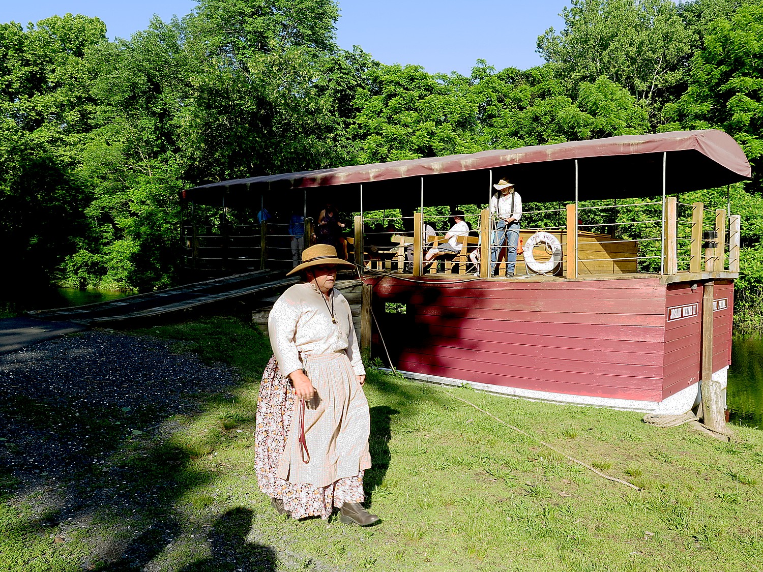
We board the Josiah White II canal boat to cruise on the restored Section 8 of the Lehigh Coal & Navigation canal. Captain Susan is at the tiller. The boat is 50 feet long – when it turns, it has mere inches to spare.
Two mules, Hank and George, pull the boat, led by Steve and Doug. You would think it is a strain, but the boat slides easily. “Benjamin Franklin worked out the mathematics, that two mules can pull 235 tons on water. He saw the method in Europe and Britain. George Washington also was a proponent of canals. – though neither one lived to see beginning of canal era.”
Captain Susan is just finishing saying how Hank and George are the luckiest mules in the land, when they both bolt and start running toward the campsite, chased by Steve and Doug who bring them back.
The boats were designed to carry 80 to 90 tons of coal, which meant the canal had to have six feet of draft.
They needed eight feet high walls – so they dug out four feet by hand and piled on the four-feet of soil to create the eight-foot high walls.
They knew the limestone couldn’t contain the water, so they lined the canal with clay, using the same method of road building in Ireland – sheep tamp down the bottom and the clay is left to dry in the sun. (The clay enclosure is why you can’t have any sharp implements on the boats).
It took 2 ½ years to build the canal which extends 46 miles from Jim Thorpe and consists of 9 dams and 51 locks. It cost $1 million (actually under budget). These canals were the first million dollar civil projects in the United States, she says.
When they started to mine the anthracite coal, this whole region of northeast Pennsylvania was uninhabited. To make money, they had to move the coal to the population center in Philadelphia. The Lehigh River was not suitable for transportation – it was too shallow, rocky.
The Lehigh Coal & Navigation Company (we saw their building in Jim Thorpe) owned the river, built the canal, and furnace and brought an iron maker from Wales who knew how to make iron with anthracite coal (the secret was high-pressure blast of air).
Pennsylvania is one of the few places where anthracite – hard coal – is known to exist. It was discovered sporadically during the 18th century, when people would literally stumble on it on the surface. “No one cared. It looked like stone. You couldn’t light it.”
What is more, there were still trees to provide fuel. But by the early 1800s, the mid-Atlantic was virtually clear cut of wood sparking an energy crisis.
They experimented with soft coal, but the supply was cut off in 1812 by blockade during the War with Britain.
Around then, Josiah White and Erskine Hazard, who manufactured wire and nails from iron, needed coal.
They learned of the success of a Welshman who developed hot-blast iron making. They traveled to Wales to sign David Thomas to a five-year contract, and brought him to Pennsylvania to oversee the construction of an anthracite furnace.
In 1818, they bought the Summit Hill quarry. But the problem still was how to get the coal to market.
They founded the Lehigh Coal and Navigation Company and created one of America’s first industrial and transportation networks, which led to an industrial boom across Pennsylvania and the Northeastern United States.
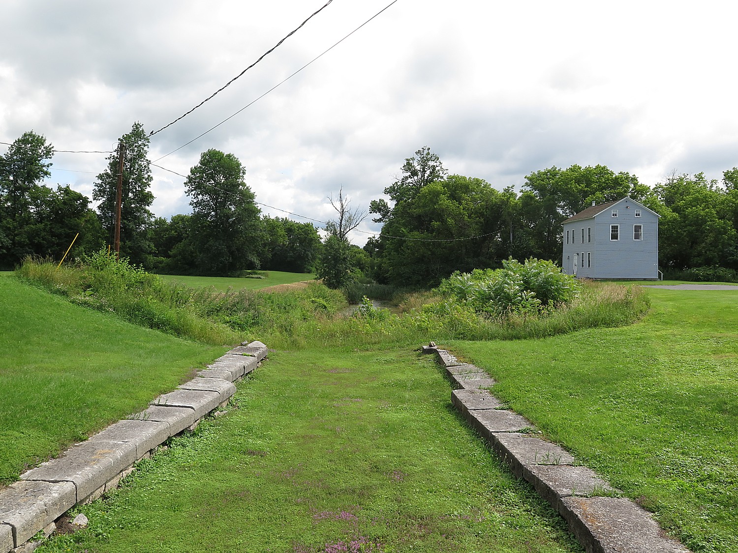
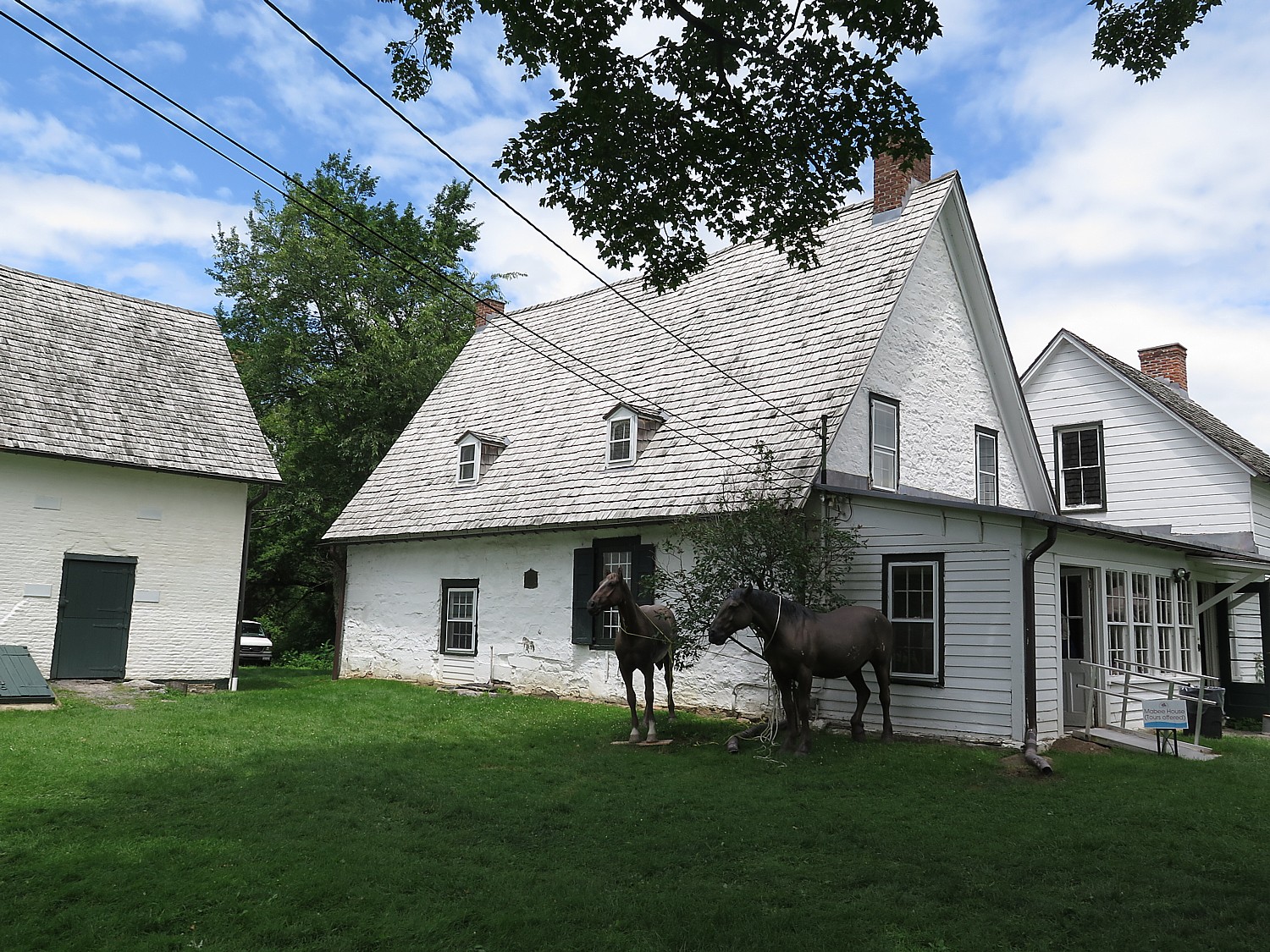
We see a lock tender’s house that was built in 1928 to replace one that burned – the new house was the only lock tender’s house with indoor plumbing and electricity.
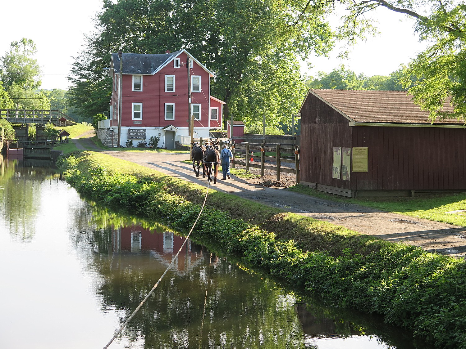
This lock had a new gear system that even a young person could operate, so the father (who would have earned $8/month, low even for those times) could take a cash job in one of the many mills or furnaces in the area. The lock had to be manned from 3 am to 11 pm, so this was a family enterprise. The mother could sell or barter with the canal boat families – at this lock, known as a “laundry lock” the woman would do the canal boat family’s laundry. She would also keep chickens and vegetables.
“There was an economy of people who lived and worked on the canal, separate from anthracite. Boats were crewed by families.
“Sailors had poor reputation and White was Quaker and wanted ethical people, sober and honest. So he recruited married men. They didn’t want to be away from their families from March to November, so they brought them on the boat. Whether provided own or leased from Lehigh Coal & Navigation – were families.
“The father of the family (the only one who legally could sign a lease) was the captain, kept records, leased the boat, bought the mules ($20) on time; the wife helped with steering and homemaking. Kids as young as six would be responsible for caring for the mules. Younger children were tied to the boat so they couldn’t fall over.”
She demonstrates how they would blow a conch shell to alert the lockmaster, who would have been on duty 18 hours a day.
“It’s easy to romanticize life on the canals, but it was difficult, uncomfortable.”
This canal was operated until 1942; the Delaware until 1932; there were sons, grandsons and great grandsons of canal boat captains.
“It was a way of life. People stuck with it.”
Here at Hugh Moore Park was the site of an industrial furnace. By the time of the Civil War, half of iron in the United States came from Lehigh Valley.
Hugh Moore made his fortune manufacturing Dixie Cups. He bought this property and found out it came with the disused canal.
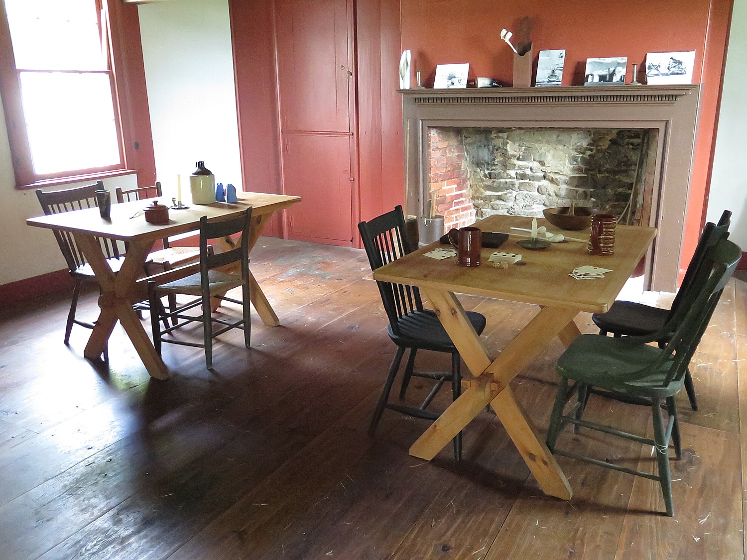
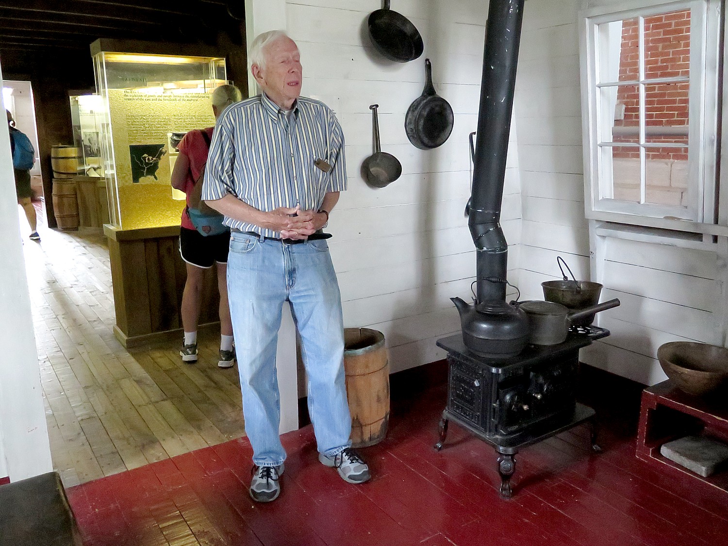
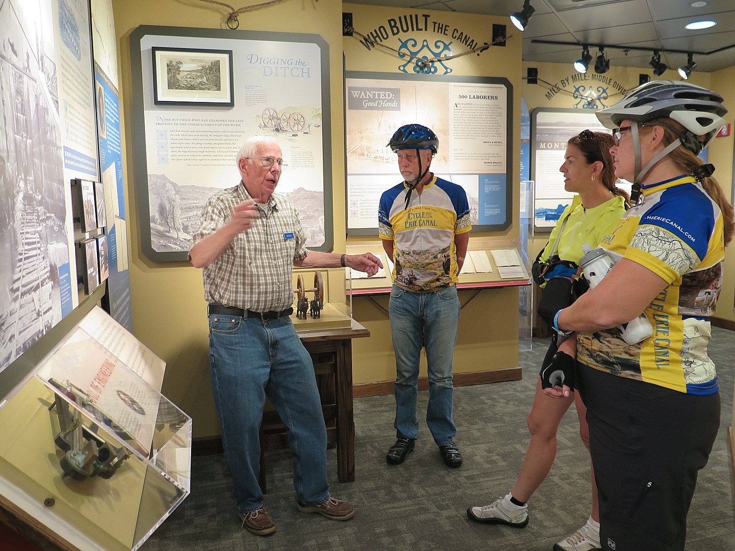
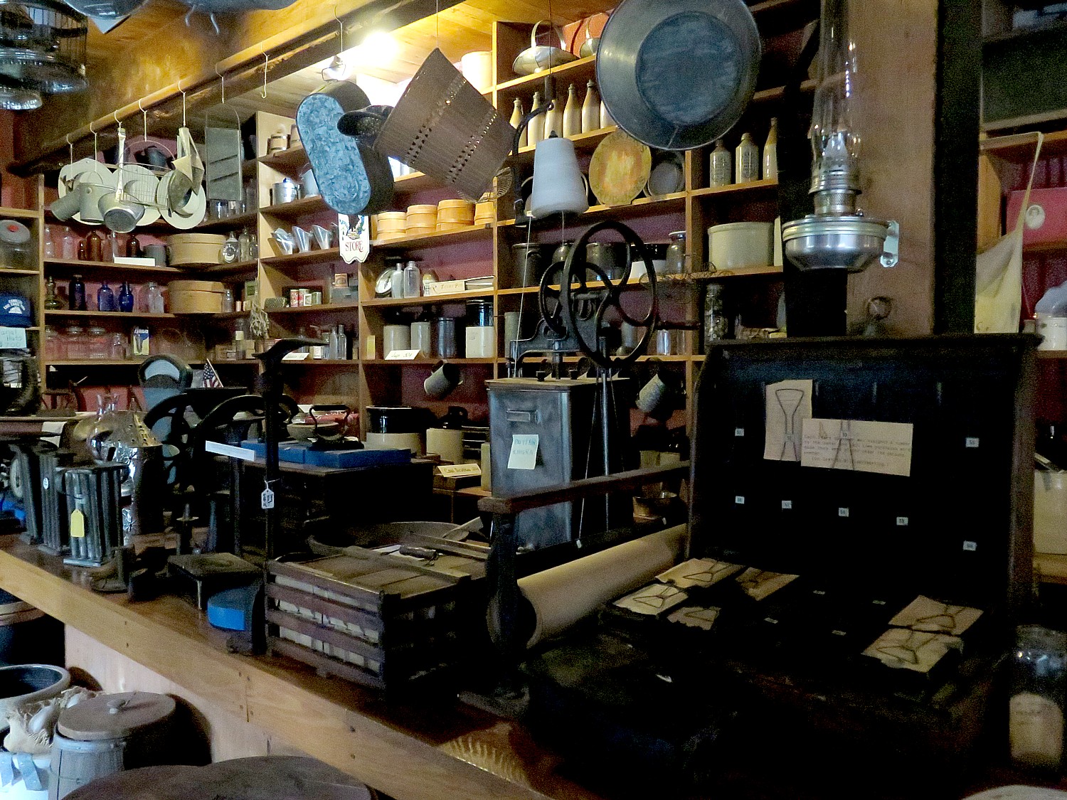
I get to tour the National Canal Museum, which has stayed open late for us.
The National Canal Museum was originally housed in a Crayola factory building; it was relocated to the Hugh Moore Park in 2006 with a National Science Foundation mission to provide a STEM curriculum to school children – the museum is loaded with interactive exhibits and experiments.
“Canals are perfect for these lessons – it’s the last transportation system using simple machines and human and animal power (mules).”
The Delaware & Lehigh National Heritage Corridor interprets this fascinating period of American history in the park through tours of the National Canal Museum and rides on the 110-passenger Josiah White II canal boat. The National Canal Museum is open seasonally, from June until October. Hands-on exhibits highlight 19th century canal life and technology. During our visit, we saw its special exhibition, Powering America: Pennsylvania’s Anthracite Railroads.
See more at National Canal Museum, https://canals.org/
The Delaware & Lehigh National Heritage Corridor, 2750 Hugh Moore Park Road, Easton, PA 18042, http://delawareandlehigh.org/ (It also has a description of the bike trail.)
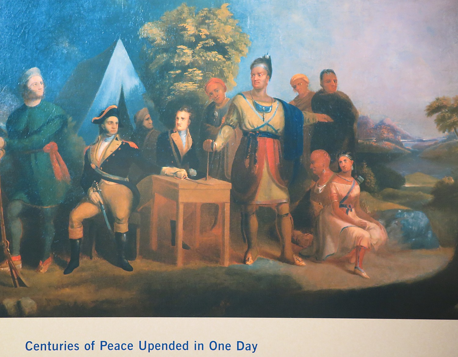
Day 3: To New Hope
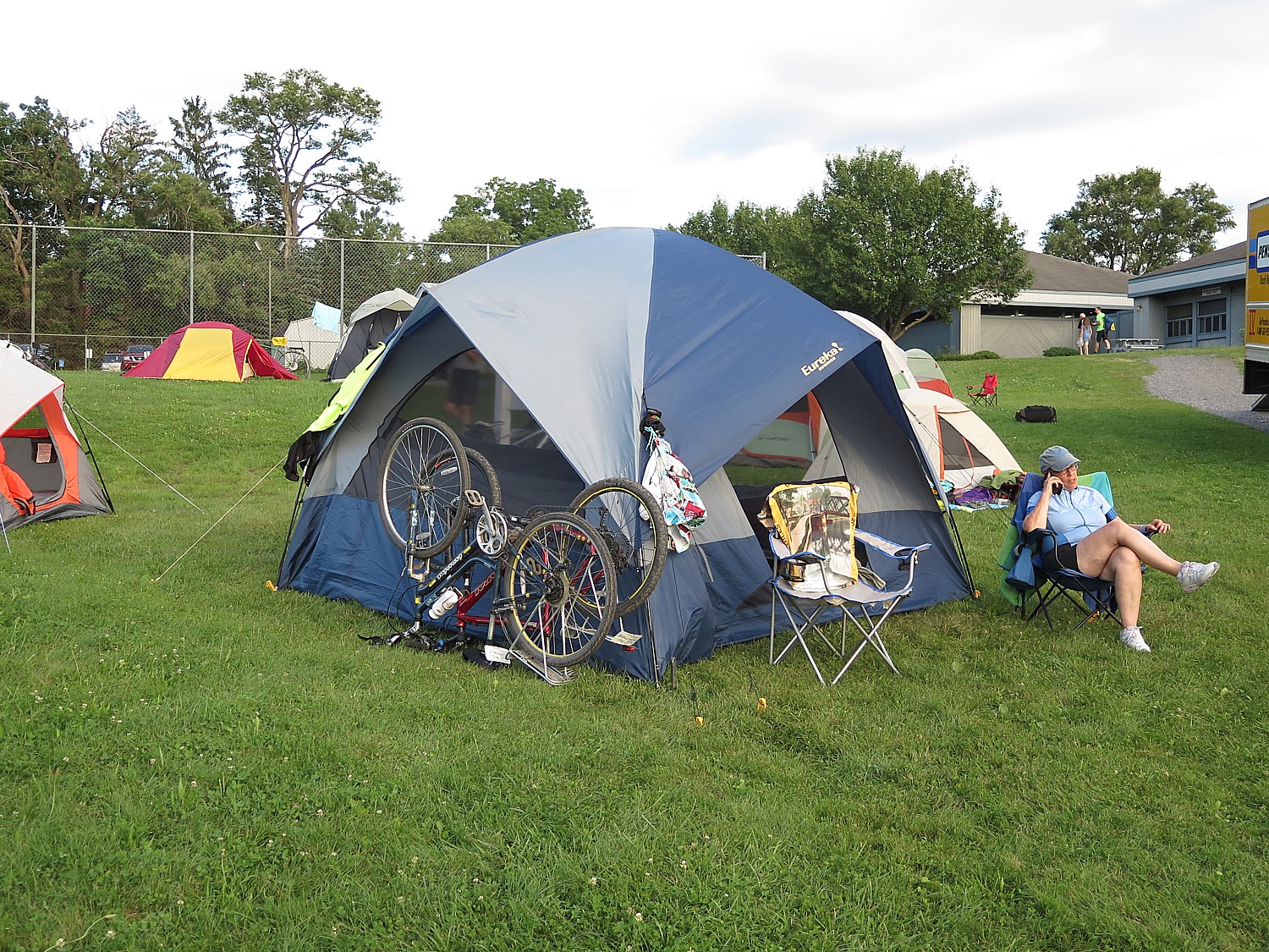
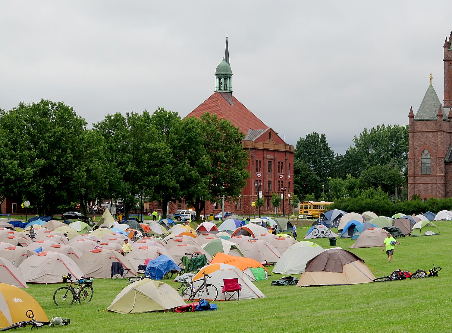
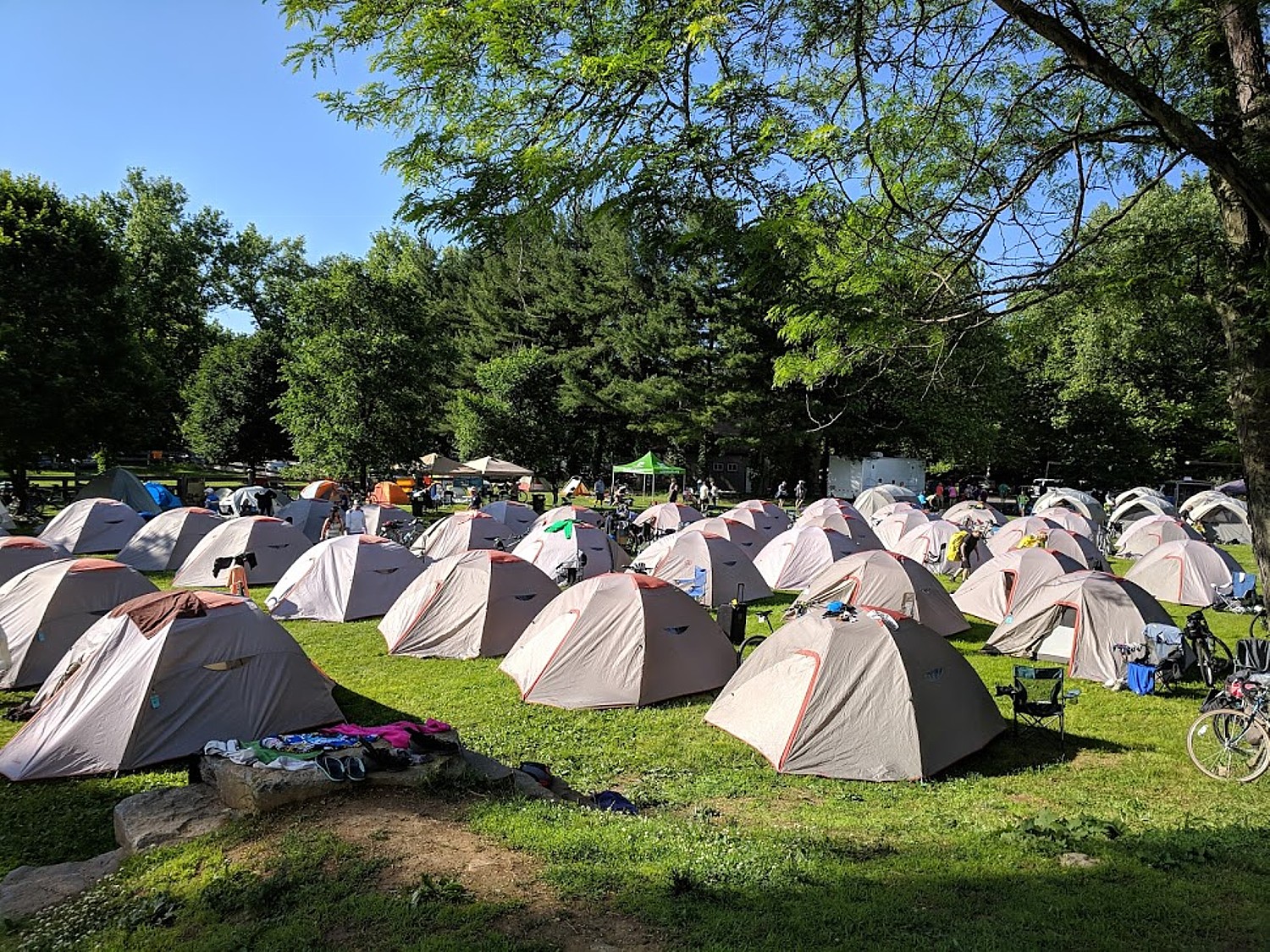
As spartan as our first night’s campsite was on a baseball field in Jim Thorpe, Hugh Moore Park in contrast feels luxurious, especially with access to the facilities in the museum (in addition to actual bathroom rooms) and one of the workers, has offered to stay inside and open it up for us during the night .
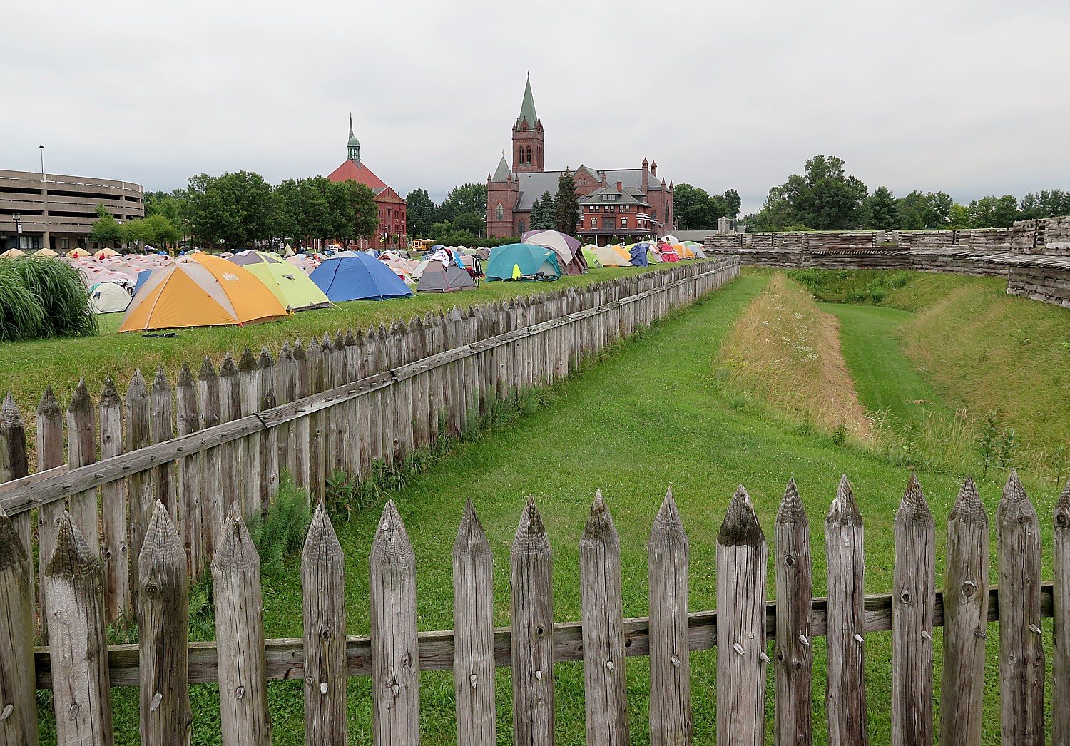
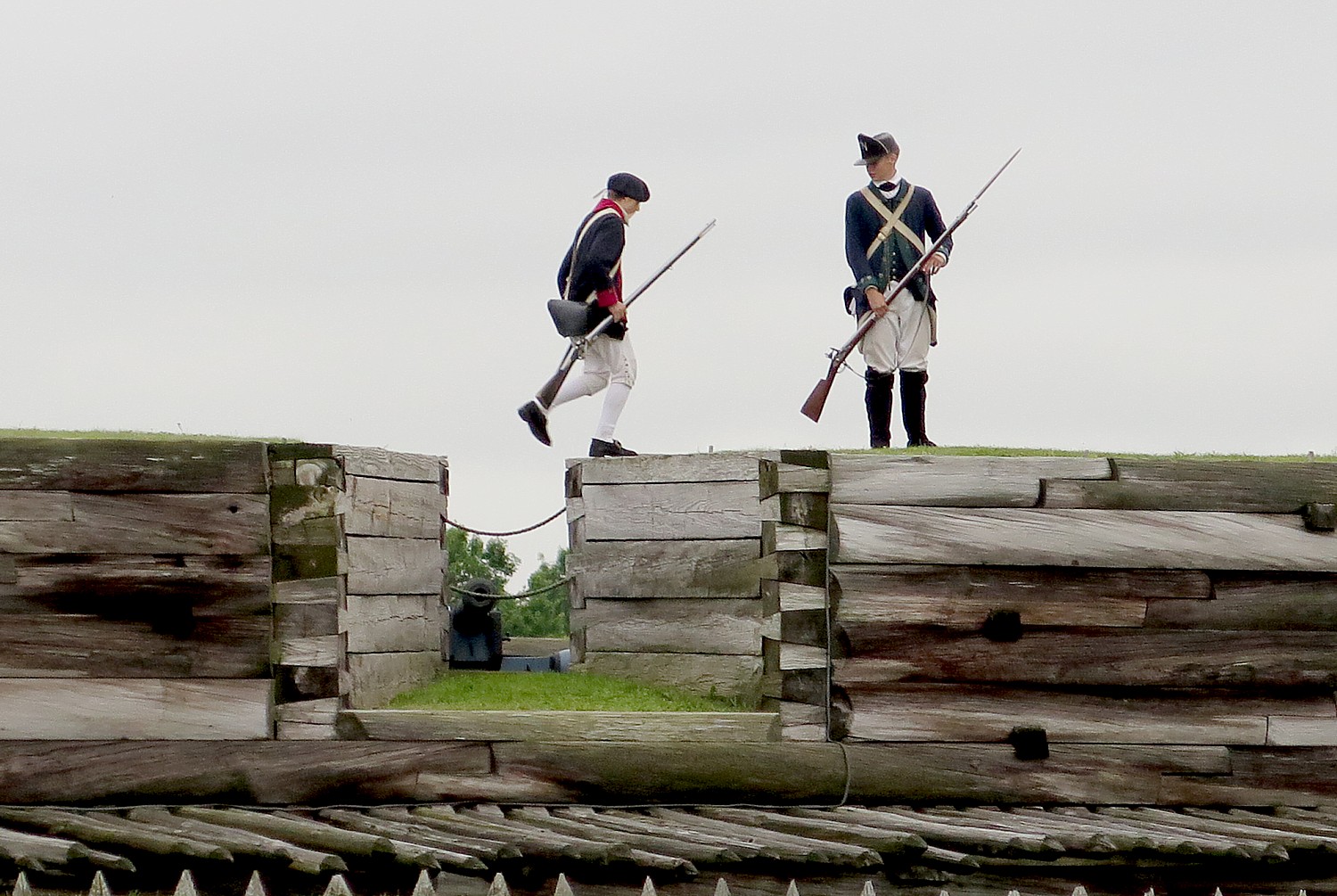
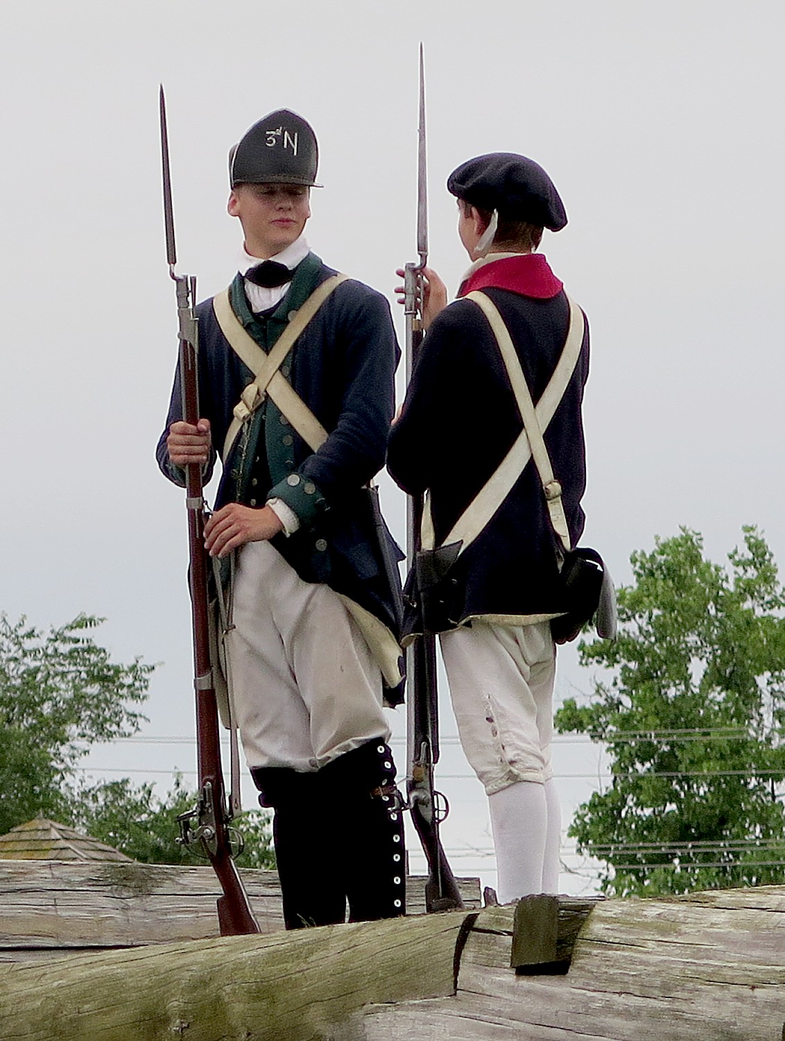
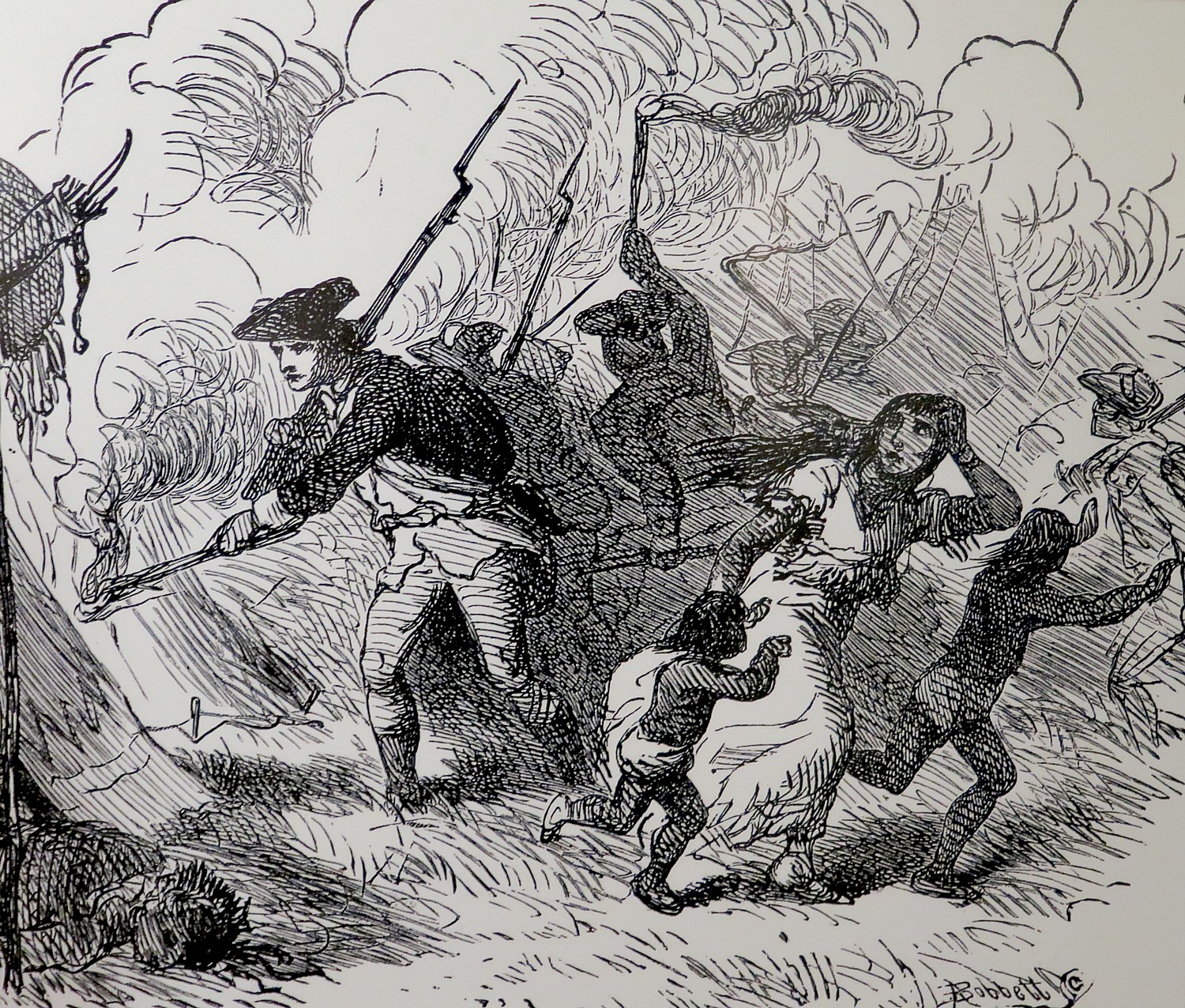
We also have a delicious catered dinner and breakfast around the museum before setting out on our third day’s ride, which will take us 38 miles but 242 years back in time to Washington Crossing State Park, where we will camp for two nights, and find ourselves immersed in the story of the American Revolution.
Just before we cross the Delaware to Frenchtown on the New Jersey side, we see a picturesque red wooden bridge over the canal. Frenchtown, where they have arranged for a bike corral while we enjoy the restaurants and shops, is very charming. I munch on the artisanal cheese and bread I purchased beside the water before setting out for the rest of the ride.
This part of the ride is along the sensational Delaware-Raritan Canal trail (one of my favorite trails, a particularly gorgeous section is from Princeton University north). We cross back to Pennsylvania at Lambertville into New Hope, another picturesque village. We are on our own for dinner tonight and many will bike back into New Hope from our campground at Washington State Crossing Park.
During the ride, I rehash what I learned at the National Canal Museum and wonder, “What did these families do for the rest of the year when the canals were closed? It bothers me that these families made so little money ($8/month) for such long days, they had to work extra jobs, even after all the members of the family also worked, when owners became richest people in the world.
How did Benjamin Franklin calculate that mules could pull a floating barge carrying 235 tons? How did they calculate the 6 foot draft for the canal boats to carry 90 tons? By formula or by trial & error? What if a boat had different dimensions? I wonder if the STEM curriculum at the National Canal Museum would answer these questions.
Here’s another important lesson from our immersion into this National Heritage Corridor: The change in ecology necessitated changes in the economy and technology (an example of how history matters.) Americans were always moving, migrating to take advantage of new industry, new technology, new economy, new opportunities, sometimes forced by changes in the environment. These canal towns, factory towns, mill towns arose because of coal and steel and many were ruined with the change in fortunes. Today, climate change, global warming is changing ecology again, forcing new changes in the economy, in technology, in society and in where and how we organize our communities. It’s very much how the canal towpath, originally devised to transport the coal which replaced wood, is repurposed for recreation and wellness, revitalizing the local economy.
Rails-to-Trails Conservancy is a nonprofit organization dedicated to creating a nationwide network of trails from former rail lines and connecting corridors; it advocates for its 160,000 members and supporters, 31,000 miles of rail-trails and multi-use trails, and more than 8,000 miles of potential trails waiting to be built, with a goal of creating more walkable, bikeable communities in America. RTC offers TrailLink, a free service that lets you access RTC’s 30,000 miles of trail maps and itineraries and downloadable mobile app.
Rails-to-Trails Conservancy, 2121 Ward Court, NW, Washington, DC 20037, 866.202.9788, railstotrails.org, TrailLink.com.
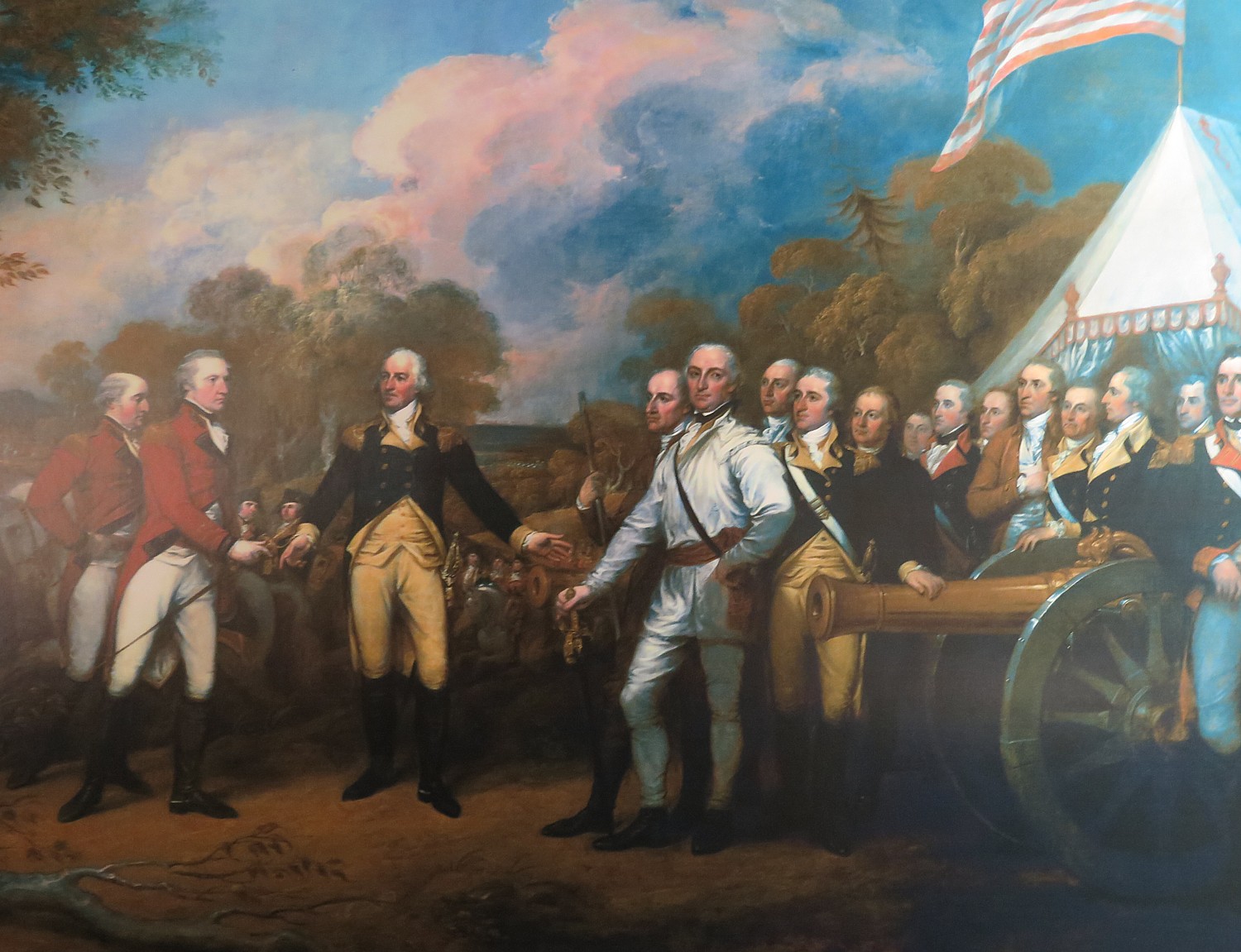
Next: The American Revolution Comes to Life at Washington Crossing
_____________________________
© 2018 Travel Features Syndicate, a division of Workstyles, Inc. All rights reserved. Visit goingplacesfarandnear.com, www.huffingtonpost.com/author/karen-rubin , and travelwritersmagazine.com/TravelFeaturesSyndicate/. Blogging at goingplacesnearandfar.wordpress.com and moralcompasstravel.info. Send comments or questions to FamTravLtr@aol.com. Tweet @TravelFeatures. ‘Like’ us at facebook.com/NewsPhotoFeatures