By Karen Rubin, Travel Features Syndicate, goingplacesfarandnear.com
You know the refrain: “It’s a nice place to visit, but I wouldn’t want to live there.” Rare is the place that is equally precious to visit and reside. Fortunately, our family has decided to reside in such a place, and I get to visit: Sonoma, California.
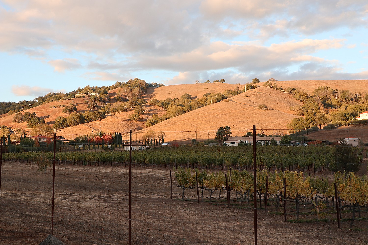
Just 43 miles northeast of San Francisco, Sonoma has long been a retreat for urban dwellers, offering a “healthier” climate.
Sonoma is the perfect combination of man and nature, as the vineyards attest, and residents today are obsessive about preserving that balance. In fact, the Sonoma County Tourism, as part of its continued commitment to encourage responsible stewardship from visitors and residents, has just joined the Global Sustainable Tourism Council.
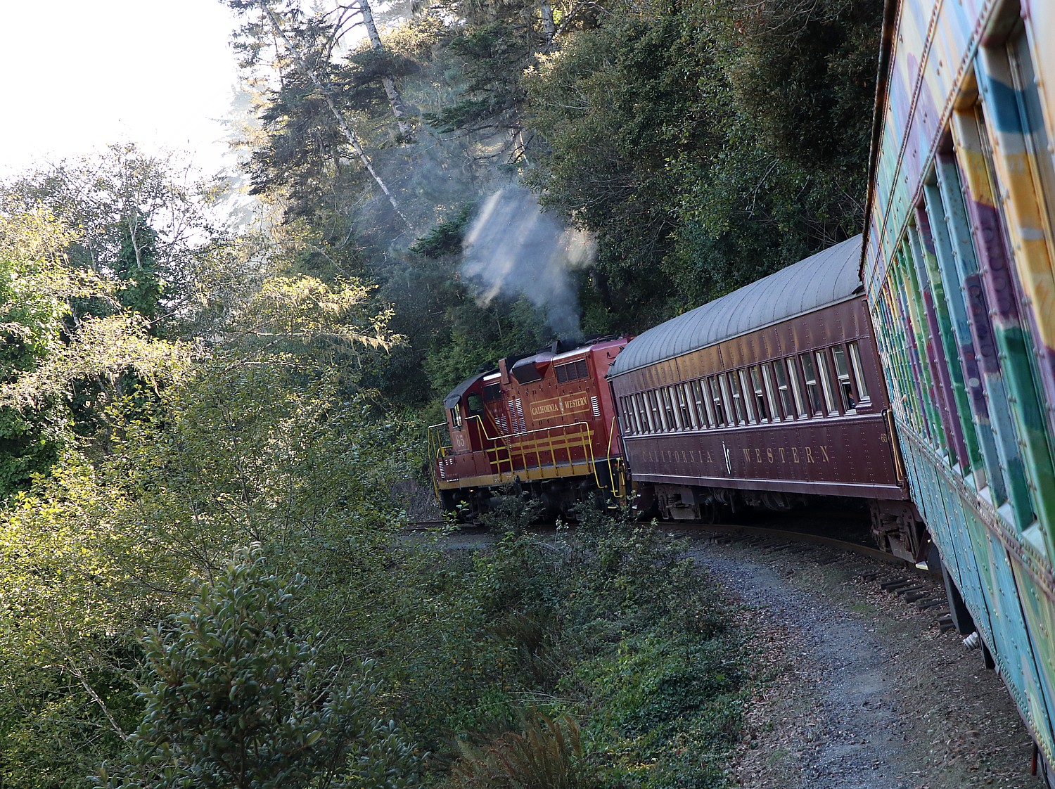
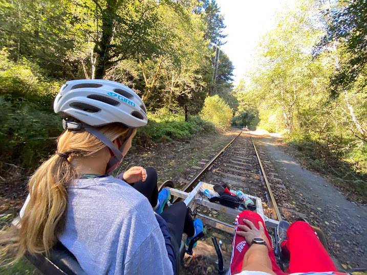
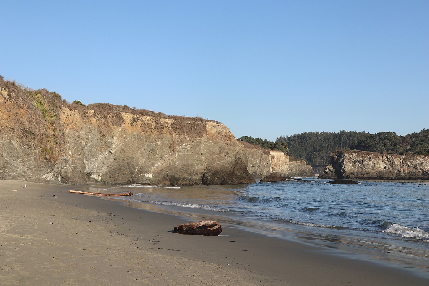
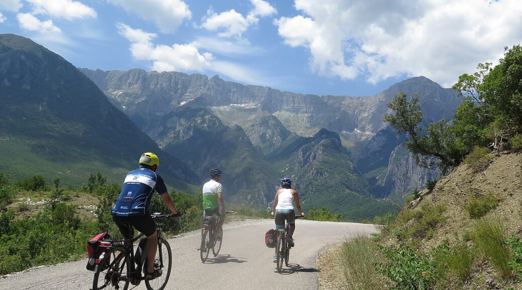
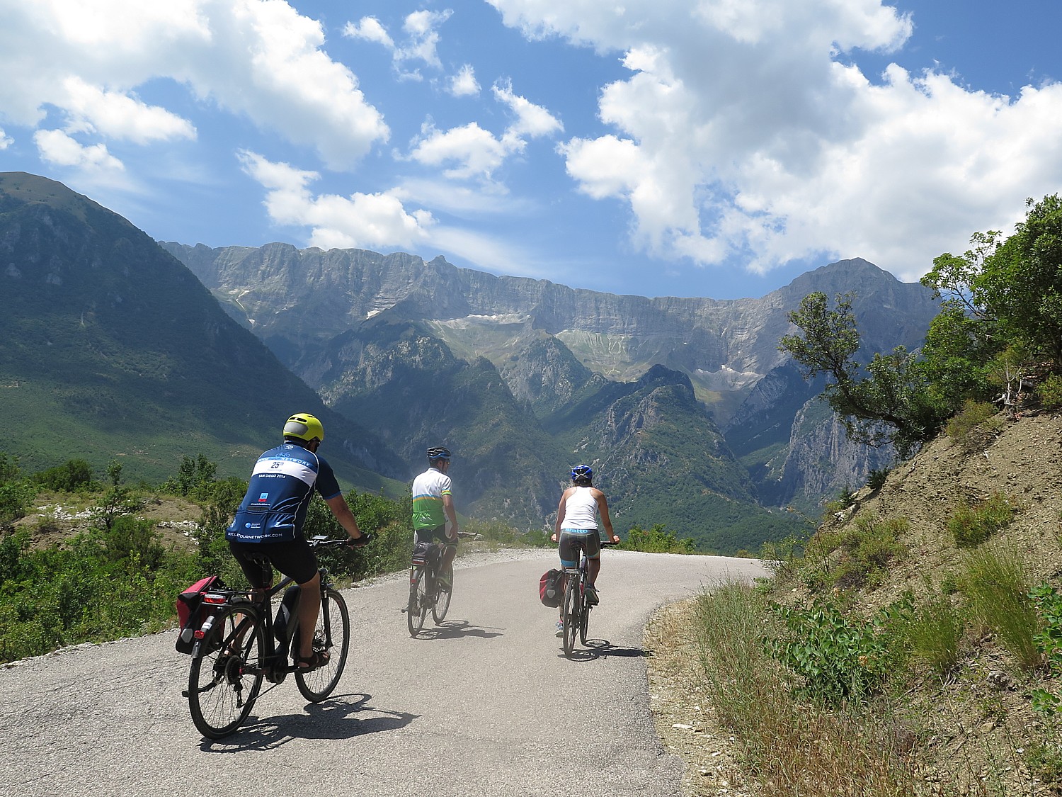
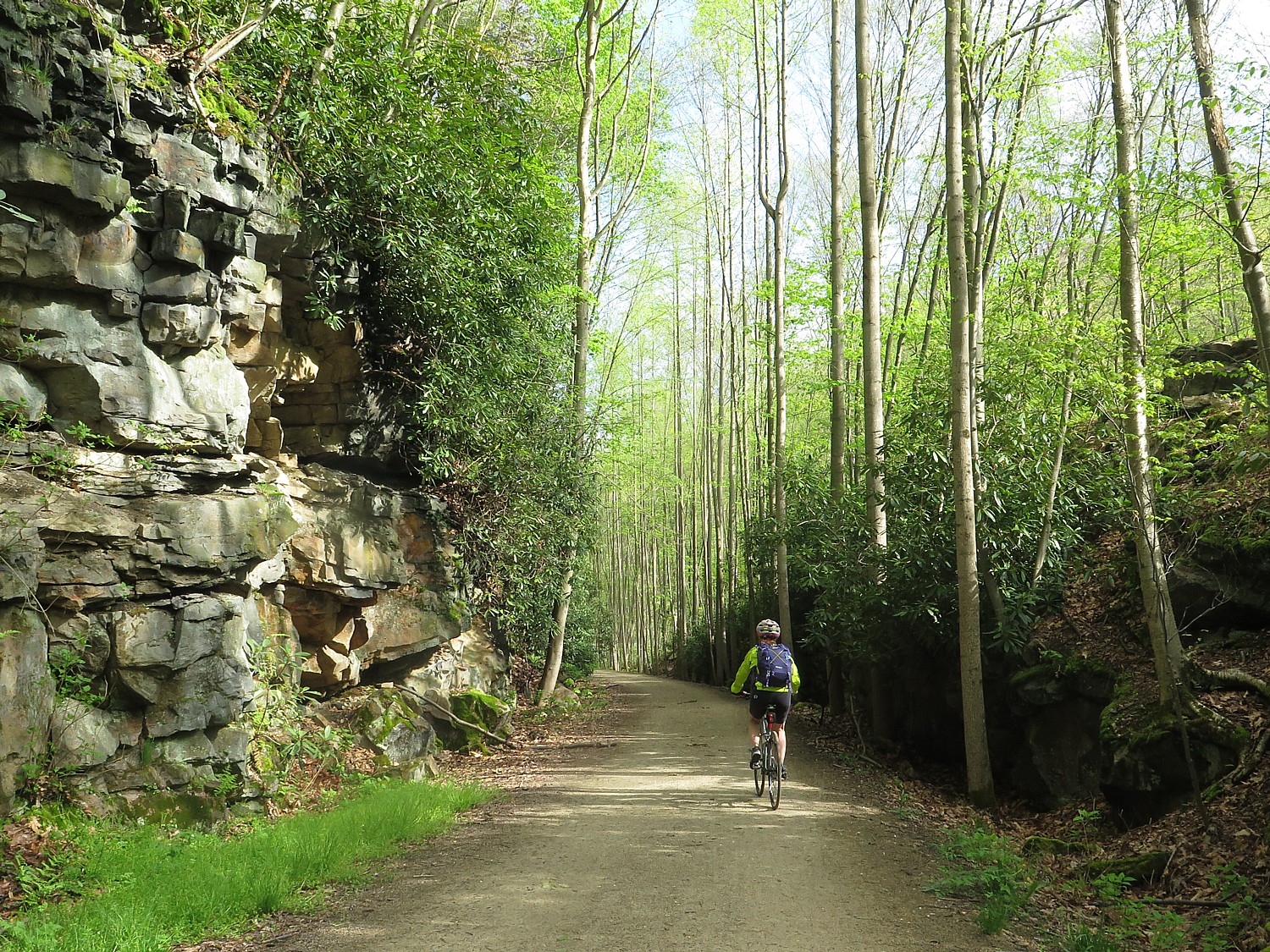
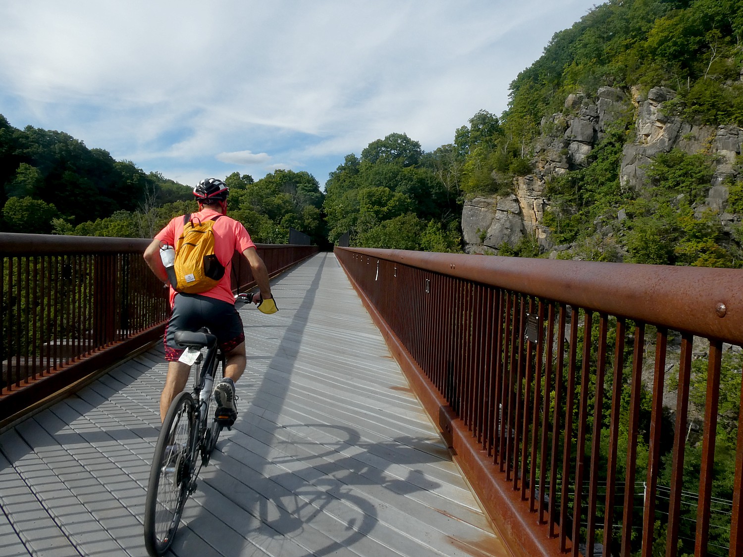
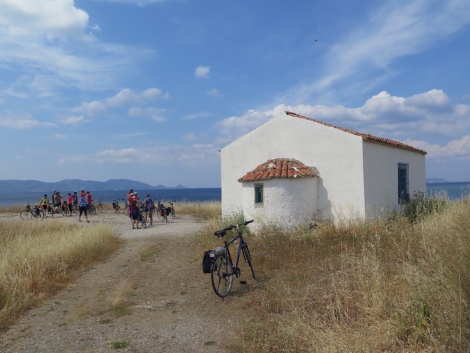
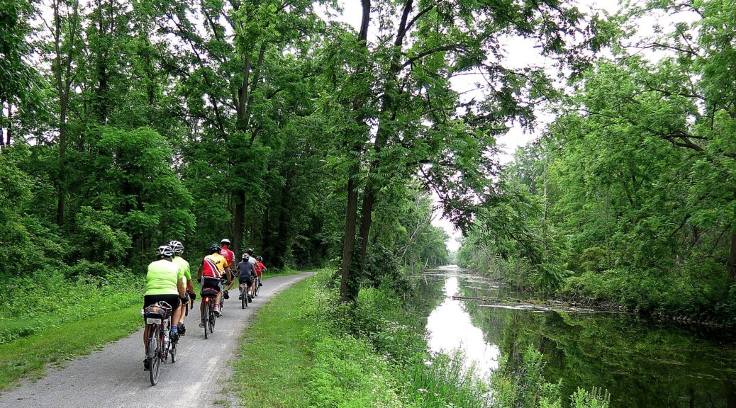
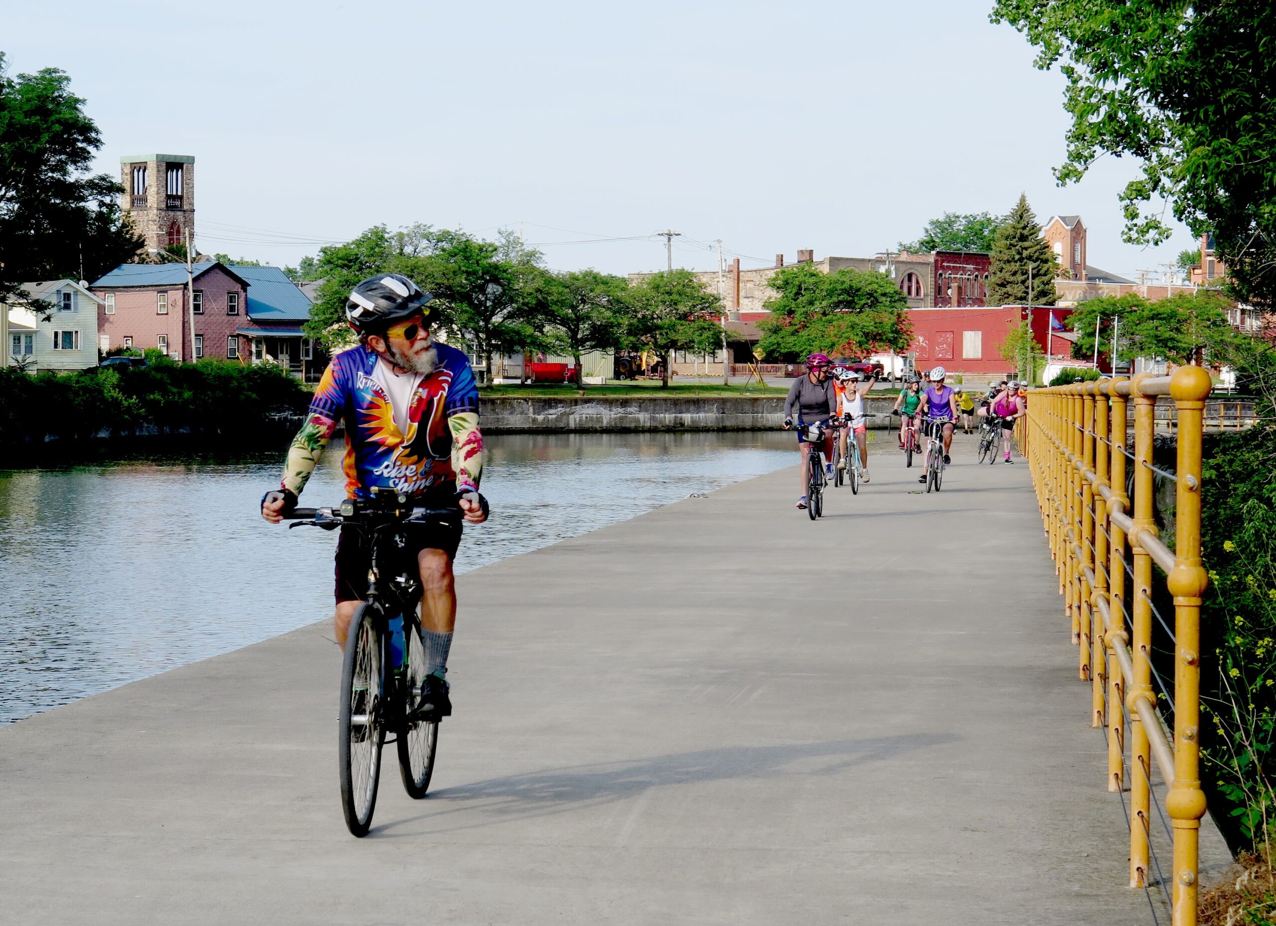
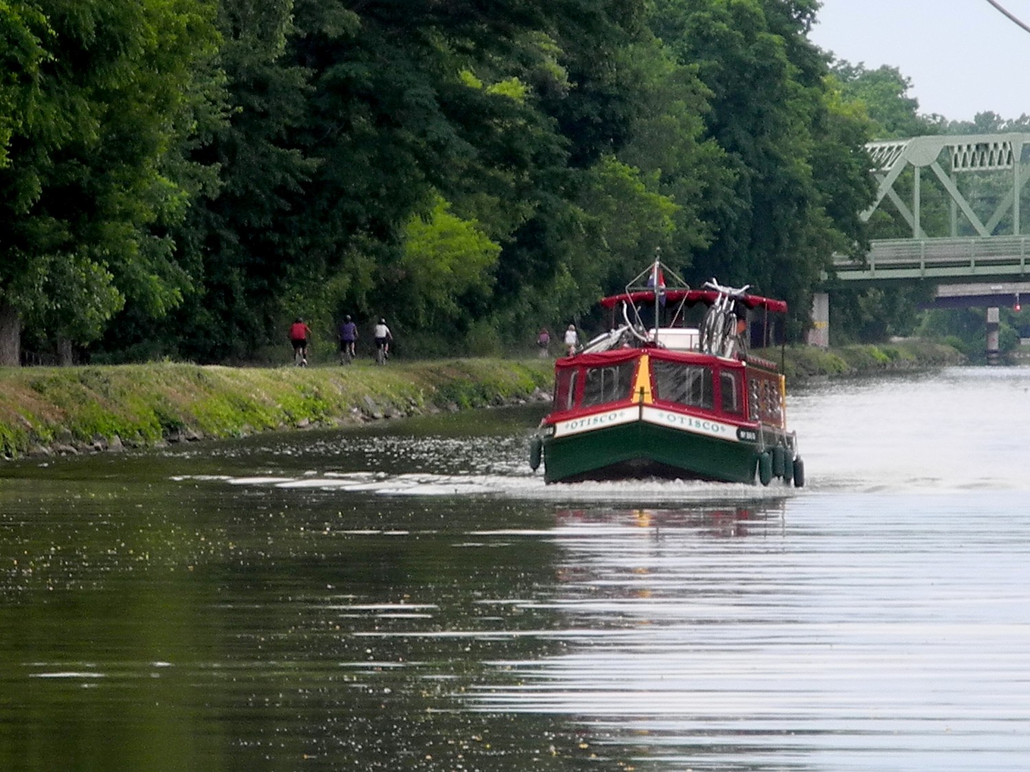
This is my second visit to Sonoma and while my family works, I get to explore like a local, hopping on a bike to ride the delightful paved recreation trail that goes right into the exquisitely quaint, historic village center and out to the vineyards. On my first trip, we biked, visited wineries, and hiked the spectacular Pacific coast. This trip, I focus on Sonoma’s history, heritage and the fascinating people who shaped it. What is more surprising is how contemporary the history feels – truly, history repeats.
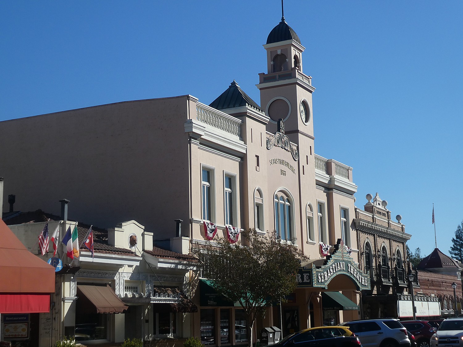
It starts at the village plaza – utterly charming today with lovely restaurants, wine tasting rooms and boutiques – but dotted with really important historic sites that are part of Sonoma State Historic Park, a collection of six sites located throughout the community.
I start at the Barracks, a military post of Mexican soldiers established in 1834 to serve as a buffer to Russian expansion from Fort Ross (!!!). The Russians had come in 1812 to produce crops and trap furs to supply their Alaskan settlement. (The Russians ultimately moved out, ironically, just before gold was discovered.) You can see a room furnished as if the soldiers were still there. It is interesting to learn that they had to supply their own uniforms, horse and supplies, and basically buy them back from the Commandante. The barracks turns out to be the best place to start my journey because it offers an excellent video that encapsulates the history of this place, and puts everything into context.

From 1834-1846, it was the headquarters for General Mariano Guadalupe Vallejo, the Commandant of the Frontera del Norte – the northern Mexico provincial frontier – who built it, as well as the Plaza. More than 100 military expeditions set out from Sonoma to subdue rebellious Wappo and Cainameros or Satisyomis native tribes trying to overthrow Mexican domination. For ten years, until 1844, the Presidial company of Sonoma was considered the most powerful military force in California. During the short-lived California Republic, the barracks housed Republic followers until July 9, 1846, when the Stars and Stripes flag was first raised at Sonoma. It then served as an army post. In 1860, Vallejo remodeled the barracks to serve as a winery. (Vallejo’s story, I learn, underpins just about everything in Sonoma.)
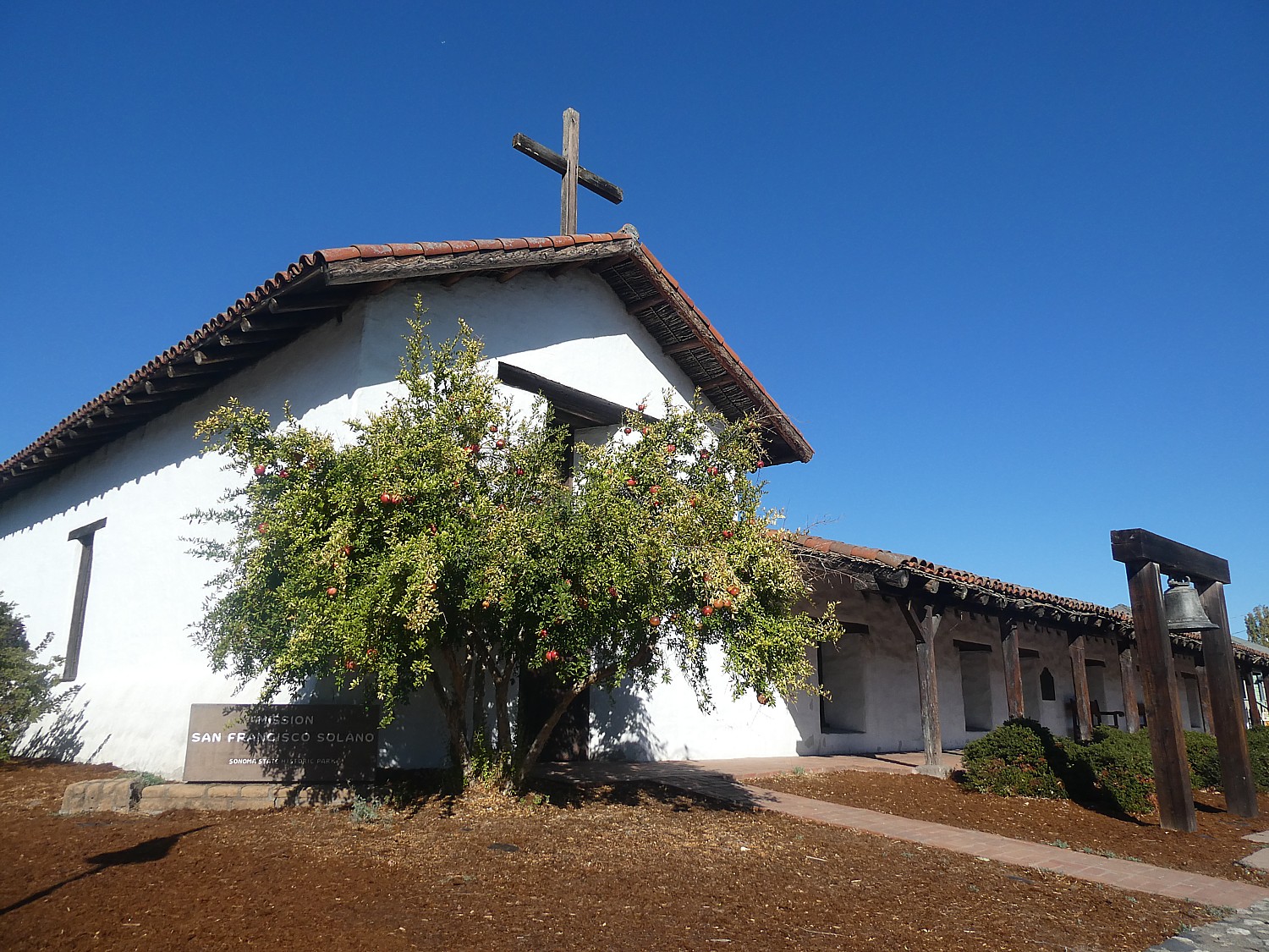
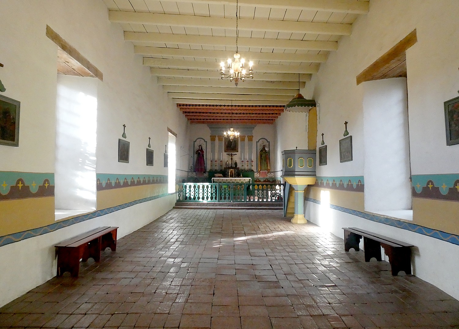
Across the street from the Barracks is Mission San Francisco Solano – the last of 21 missions established in California. It was founded in 1823 to convert Native Americans to Christianity – often forcibly. Indians would come to the mission first out of hunger –since the colonists introduced disease, technology and livestock which depleted the corn that was their mainstay. The Indians’ had their own culture, religion, lifestyle which “was contrary to the colonists” and so, had to be eradicated. Under the mission system, families were split up, children taken for indoctrination. Indians revolted and tried to escape the mission and the soldiers would hunt the “fugitives” down and bring them back. I learn in the video in the Barracks. (There is a display, “Collision of Cultures,” which acknowledges the tribes’ experience.)
“The Sonoma mission’s sphere of influence reached its peak around 1832, with nearly 1,000 Native California Indians in residence and 10,000 acres of land used to raise crops and livestock.” In 1834, the Mexican government secularized all the missions into parish churches – which was General Vallejo’s task.

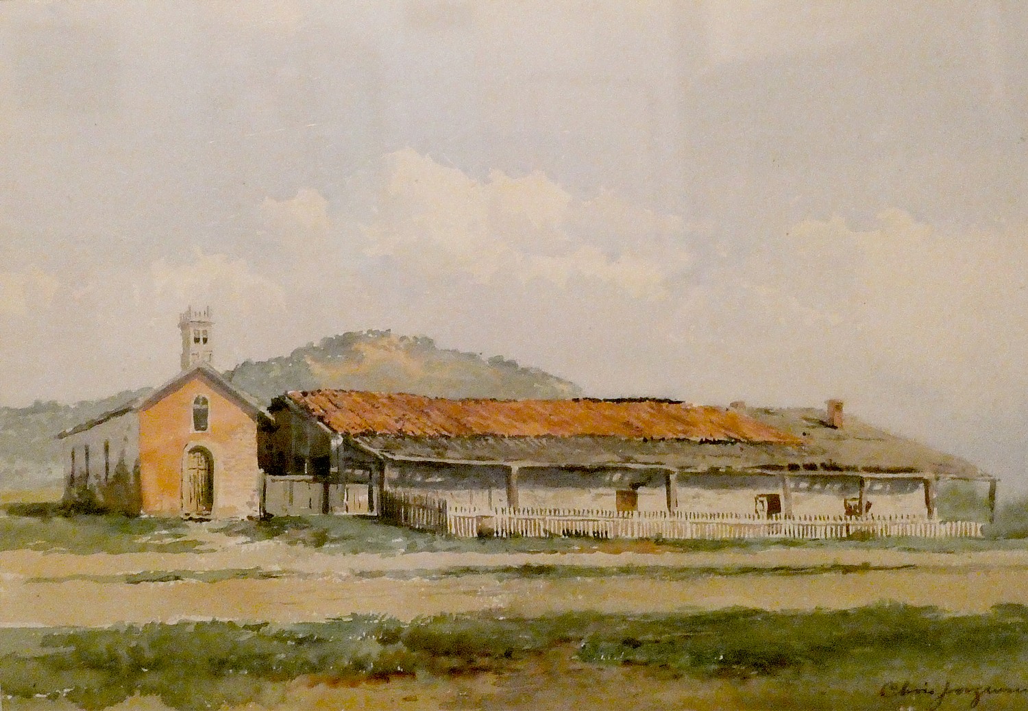
The Dining room today houses a marvelous exhibit of watercolors created between 1903-5 by Chris Jorgensen depicting the 21 missions that remained. His watercolors helped generate interest in preserving the missions. It is most interesting to see his watercolor of this mission as it stood.
The small adobe chapel on the west side of the Padres’ Quarters, built and furnished by General Vallejo in 1840, replaced the original mission church.
It is here in the mission that I meet Ranger April Farnham. When I ask if she is a native Californian, she tells me of her great great great aunt, Eliza Farnham, born in Rensselaerville, NY in 1815, who came to northern California in 1849 with her two sons (her husband, Thomas Farnham, was apparently a rogue). What a character! Wikipedia describes Farnham as a novelist, feminist, abolitionist and activist for prison reform (she worked as the matron of Sing Sing prison’s women’s ward). She returned to New York in 1856 and in 1859, organized a society to assist destitute women find homes in the West. She returned to California, but died in New York City, at the age of 49, of consumption.
(I’m so intrigued about her, I look up her publications: Life in the Prairie Land, 1846 – An account of life on the Illinois prairie near Pekin between 1836 and 1840; California, In-doors and Out, 1856 – A chronicle of her experiences and observations on California; My Early Days, 1859 – An autobiographical novel; Woman and Her Era, 1864 – “Organic, religious, esthetic, and historical” arguments for woman’s inherent superiority’ and The Ideal Attained, 1865 – The heroine molds the hero into a worthy mate.)
General Vallejo’s Home
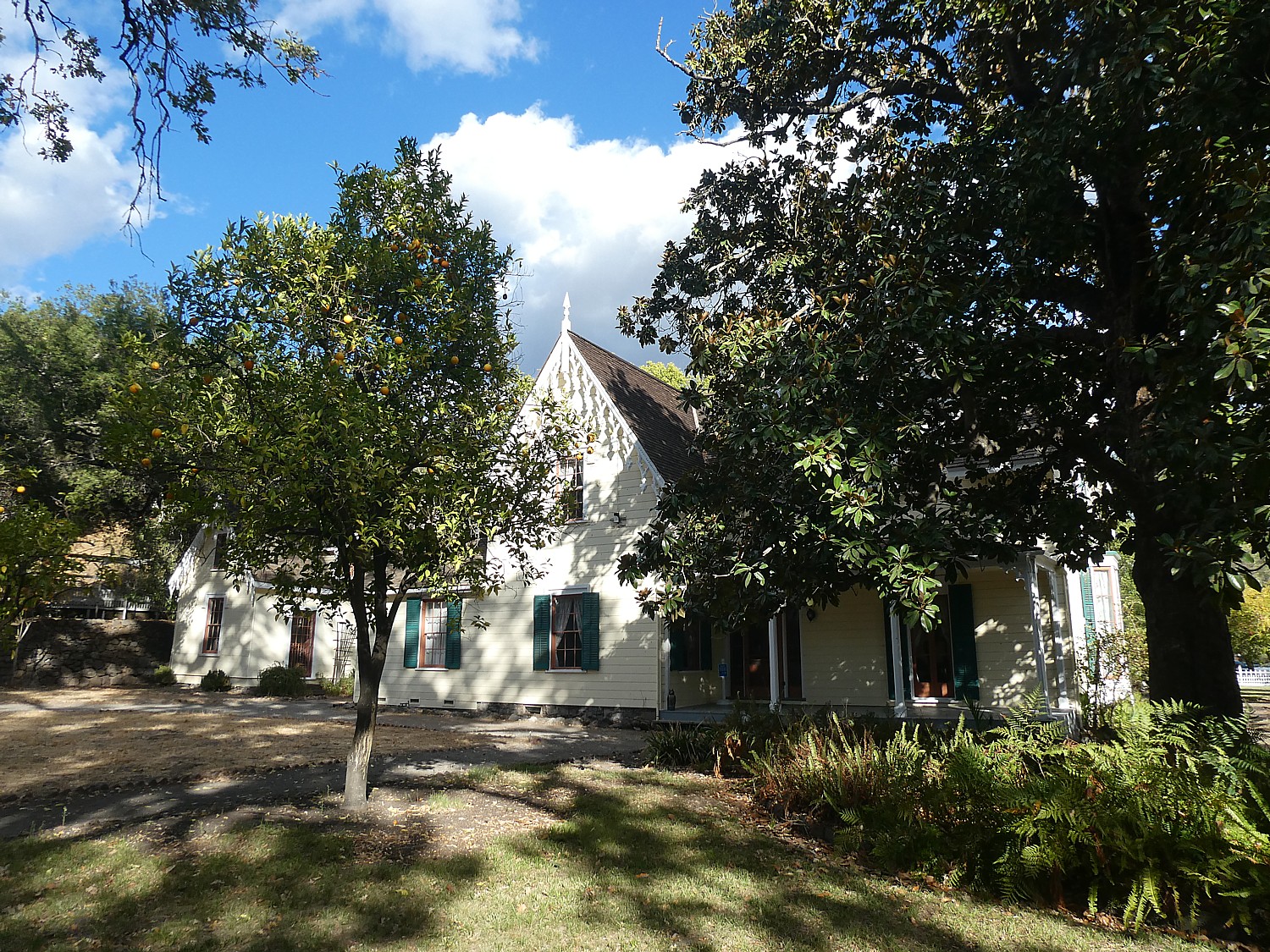
I get back on my bike to visit General Vallejo’s home, Lachryma Montis, a 20-acre site (out of his original 500 acres) just along the path about a mile from the mission. Here you appreciate what a visionary – even progressive – Vallejo was, and how instrumental he was to the founding and nurturing of Sonoma through its multiple transitions. By the time he was 40, he had lived under four flags – Spanish, Mexican, the Bear Revolution and then the United States.
Born in 1807 to an upper class Spanish family, his career paths were limited to the military, politics or church. He chose the military. At the age of 25, a lieutenant, he commanded Presidio de San Francisco, the “director of colonization.” In 1826, he was ordered to secularize the missions and transfer power from the church to civil authorities.
The Mexican government fell into chaos; there were frequent changes of governor in his district. Vallejo got no assistance from Mexico and had to pay his soldiers out of his own pocket. The settlers became Mexican citizens, learned Spanish but were different from the “Yankees” who began to come through.
After Mexican Governor Jose Castro proclaimed that the purchase or acquisition of land by foreigners who had not been naturalized as Mexicans “will be null and void, and they will be subject (if they do not retire involuntary from the country) to be expelled whenever the country might find it convenient.” 33 Yankees lead the Bear Flag Revolt against Mexican authorities. They attacked Sonoma, took Vallejo prisoner, imprisoning him at Sutter’s Fort for two months, where he contracted malaria and was a dath’s door before being released. “His imprisonment lasted longer than the Republic” (communication was slow). At the time of the Bear Flag Revolt, (June–July 1846), there were 500 Americans living in California, compared with between 8,000 and 12,000 Mexicans.
Despite the Treaty of Guadeloupe that ended the Mexican-American War (1846-1848) assuring the Mexicans their property ownership would be respected, the Yankees claimed the property belonged to them “by right of conquest”. Mexicans, including Vallejo, had to fight in court to prove title and that often put them in debt. His holdings were reduced from 500 acres to 20 acres, but he kept his vineyards.
Indeed, Vallejo also had a hand in developing wine-making in Sonoma. His two older daughters married sons of Count Agoston Haraszthy, who began the first vineyards (you can learn this part of the history at Haraszthy’s Buena Vista winery).
Ever adapting, Vallejo went on to be elected state senator for Sonoma, serving until 1853.

What is striking about Vallejo’s home is that it looks like it was deposited here from New England. Vallejo referred to his dwelling as the “Yankee Home” or “Boston House,” departing from traditional adobe style. That was deliberate on his part, to symbolize change (and acceptance) of becoming part of the United States.
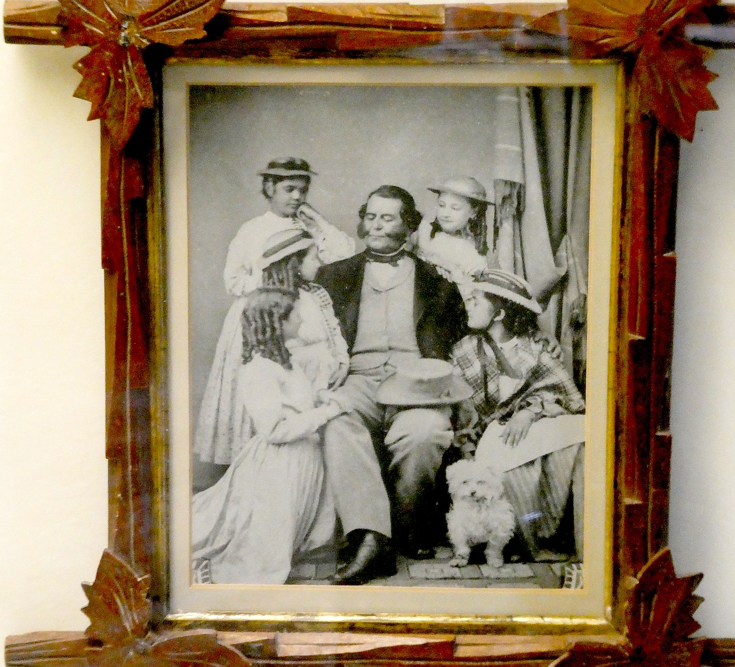
You start your visit in the Chalet, a Tudor-style structure which originally was a storage house and granary, now a visitor center that houses a museum with family photos and personal artifacts of Vallejo and his family (he had 16 children, 10 of whom lived to adulthood), as well as their magnificent carriage. The furnishings in the main house, too, are mainly from the family.

You visit the parlor, which Vallejo furnished with items from around the world, the master bedroom, his daughter, Maria’s, bedroom, the nursery. You visit the bedroom of Luisa, his 15th child, who was born here, married here and, after being widowed, raised her three children in the house; she cared for her elderly parents and inherited the estate where she lived until her death in 1943 at 87. She sold the estate to the state of California in 1933 and served as its curator from 1933-1943.

There are several other interesting buildings and structures: the picturesque stone and masonry reservoir was constructed in the 1850s to collect water from natural artesian springs; a tiny cottage, the Hermitage, or “Napoleon’s Cottage” at the top of a winding stone staircase above the reservoir, where Vallejo’s youngest son, Napoleon, moved in 1865 at the age of 15, and kept 14 dogs, two monkeys, three cats and one parrot.

Sonoma’s Plaza itself – the birthplace of the state’s Bear Flag – is picturesque. You can see a monument to where rebels raised their new, homemade flag and declare their own republic, June 14, 1846. (The Bear Flag Republic lasted just 24 days; then the United States took over).
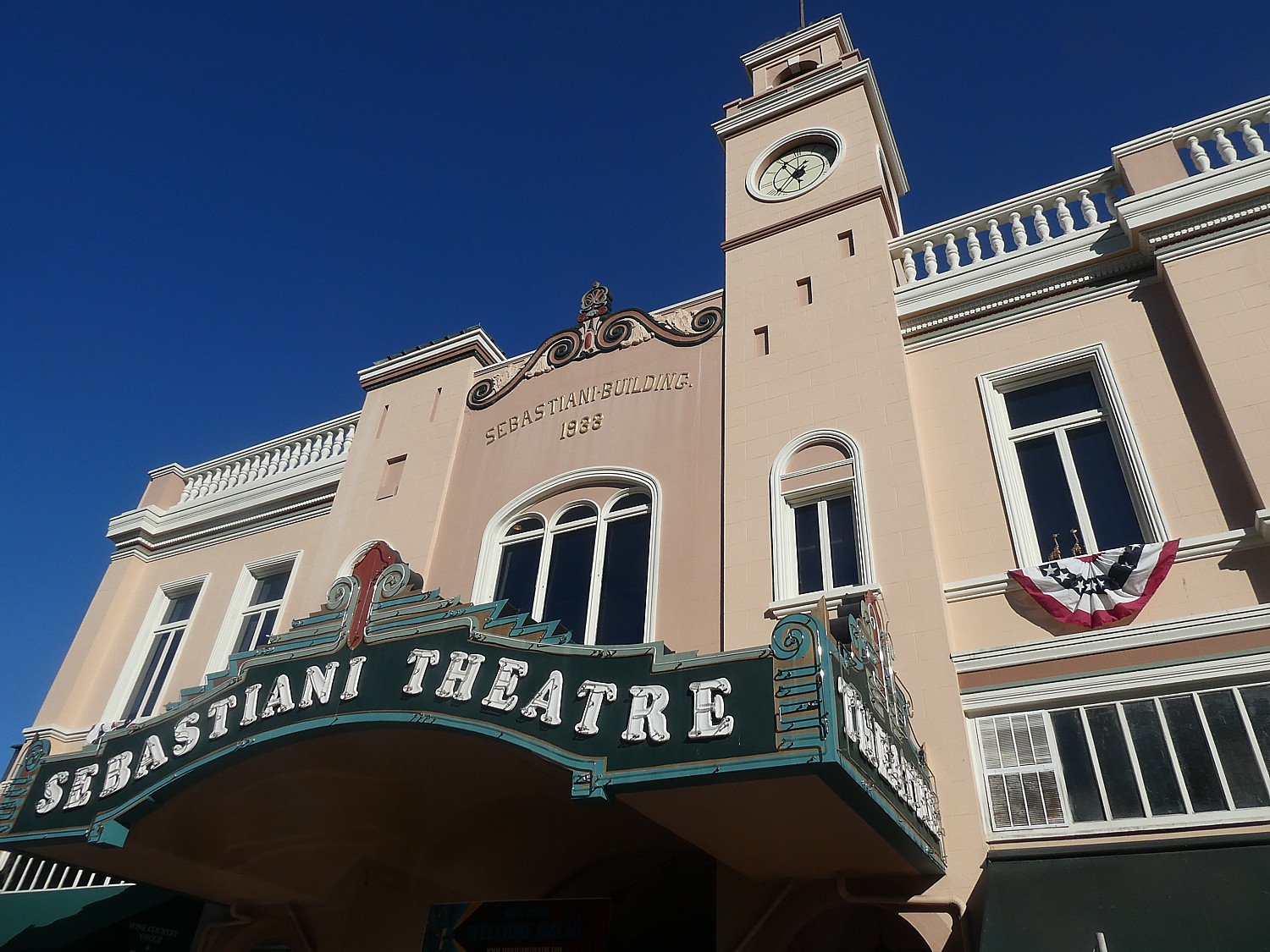
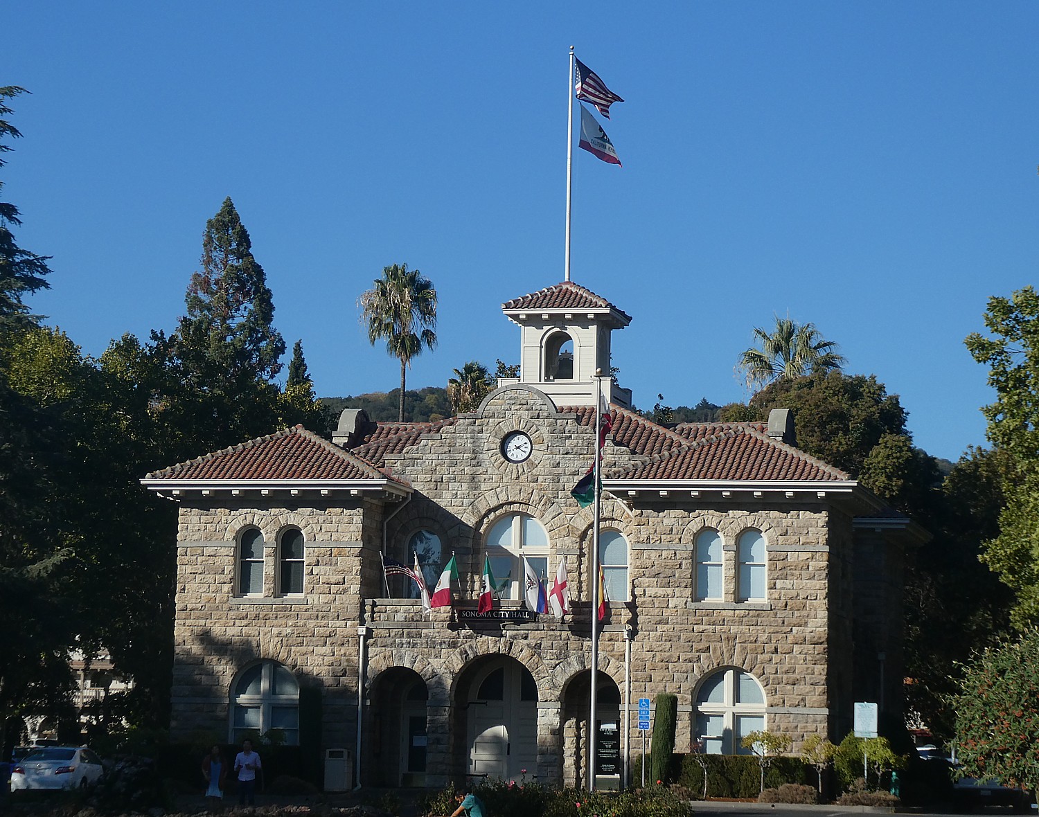
There is also City Hall, a pavilion for outdoor events, and across the way, a lovely old-timey movie theater.
The Sonoma State Historic Park (363 Third Street W, Sonoma CA 95476, 707-938-1519). includes six sites – in addition to the Mission, the Barracks and Lachryma Montis, it also includes Casa Grande (Vallejo’s home on the plaza), the beautiful Blue Wing Inn (built to house soldiers it later accommodated such famous visitors as US Army officer Ulysses S. Grant); and Toscana Hotel. For a schedule of docent-led tours, visit www.parks.ca.gov or call 707-938-9560. (The $3 admission includes same-day visit to the Barracks and General Vallejo’s Home (363 3rd St. West) and Petaluma Adobe State Historic Park (3325 Adobe Road, Petaluma).
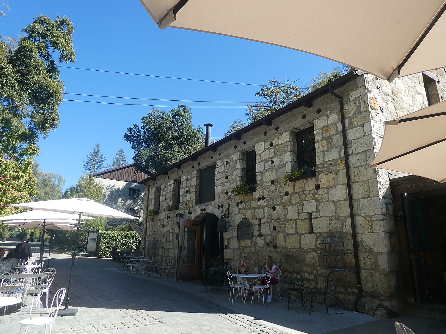
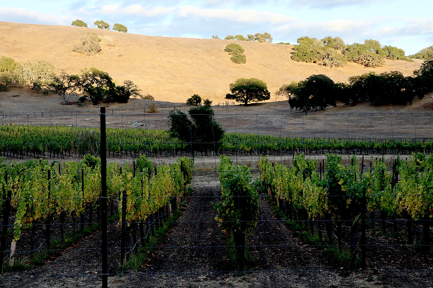
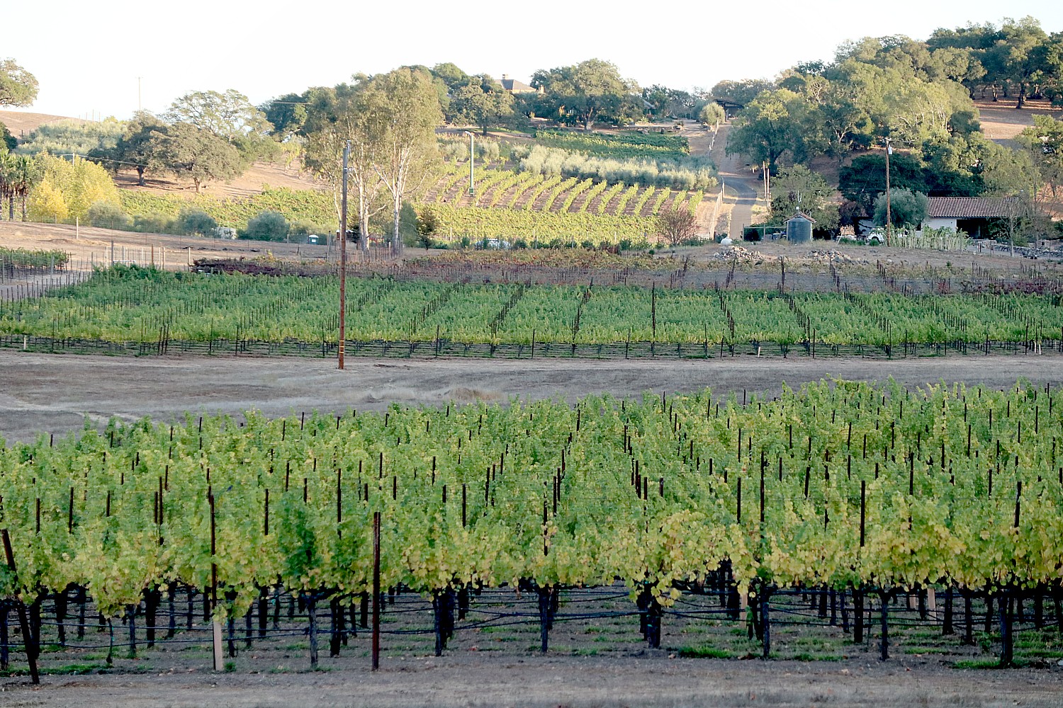
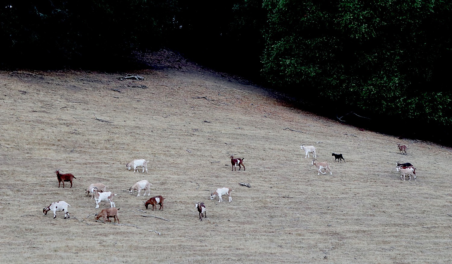
My biking takes me into the vineyards that completely ring the village. I return to the Buena Vista Winery, founded by Count Agoston Haraszthy, who came from Hungary initially in pursuit of gold but in 1857, decided instead to build a stone winery on the property. He introduced cuttings from Europe’s best vineyards to California and basically proved that California could produce wine. Buena Vista Winery, 18000 Old Winery Road, Sonoma, CA 95476, 800-926-1266, tastingroom@buenavistawinery.com, www.buenavistawinery.com.
There are about 90 vineyards and wineries you can explore, see Sonoma.com.
I also come upon a wonderful local community garden, Sonoma Garden Park, which is a working farm, education center and “vibrant gathering place” where I encounter a gardener who comes up from San Francisco and learn about sustainable gardening in this drought-plagued place (Seventh St. East & MacArthur).
Jack London State Park
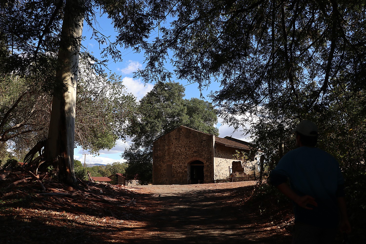
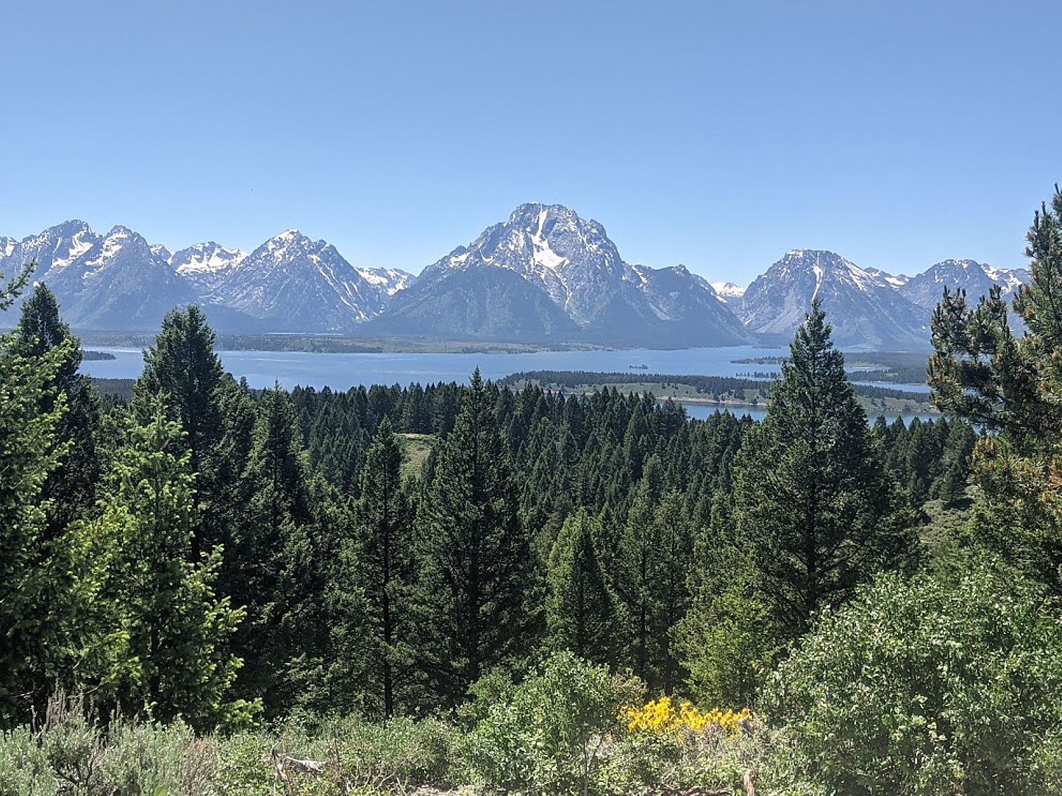
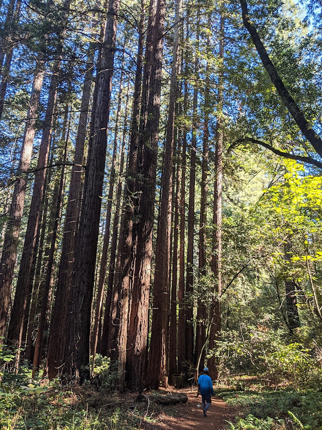
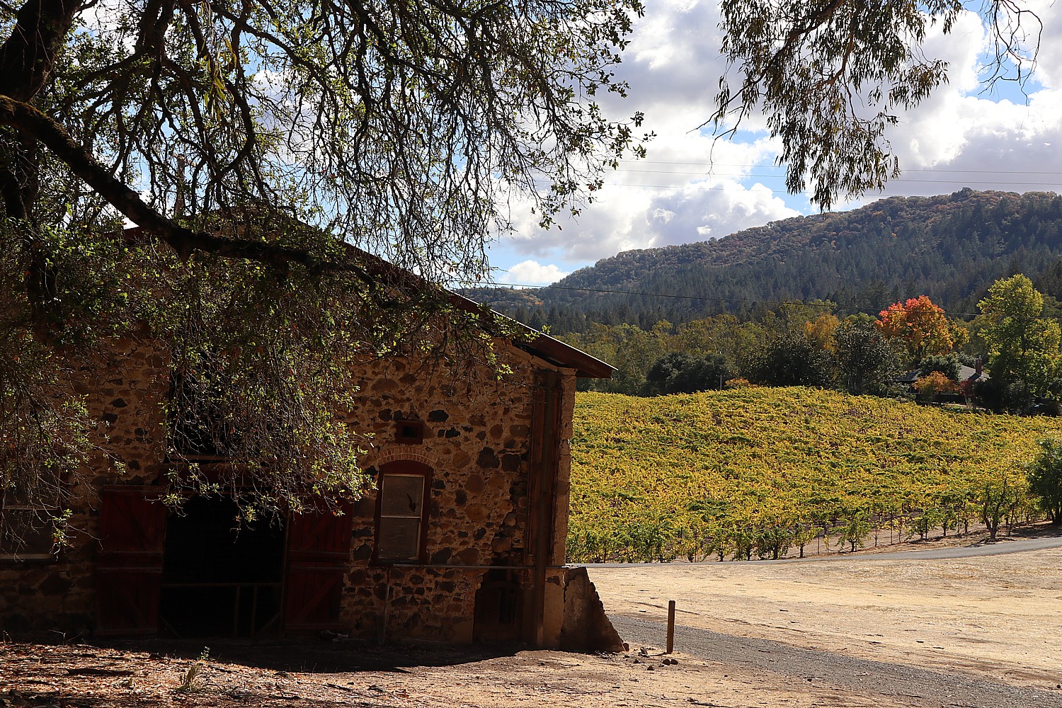
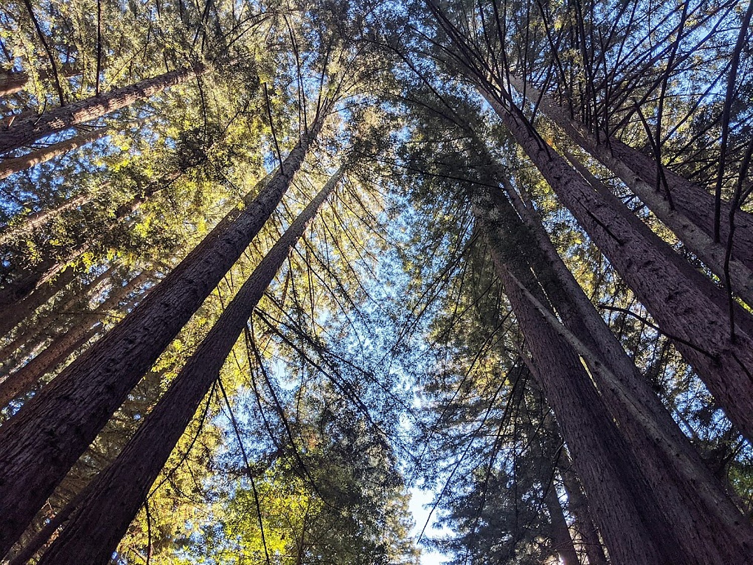
Another marvelous example of this merging of man and nature is the Jack London State Park in nearby Glen Ellen, where we go for a hike and discover a most intriguing history. I was expecting to hike in the woods, but the historic and biographical features blew me away.
I always associated Jack London with San Francisco and Alaska. It was a complete surprise to learn that Glen Ellen was home to the writer/adventurer from 1905 until his untimely death in 1916, at age 40, of gastrointestinal uremic poisoning. London pioneered new agricultural techniques here at his 1,400-acre Beauty Ranch.

“London was well ahead in the real estate game in 1905 when he began buying up what was then exhausted farmland around Glen Ellen,” writes Kenneth Brandt, The Short, Frantic, Rags-to-Riches Life of Jack London,” in Smithsonian (www.smithsonianmag.com/smithsonian-institution/short-heroic-rags-riches-life-jack-london-180961200). “His intention was to restore the land by using innovative farming methods such as terracing and organic fertilizers… ‘I see my farm,’ he declared, ‘in terms of the world and the world in terms of my farm.’ Today, docents lead tours showcasing London’s progressive ranching and sustainable agricultural practices.”

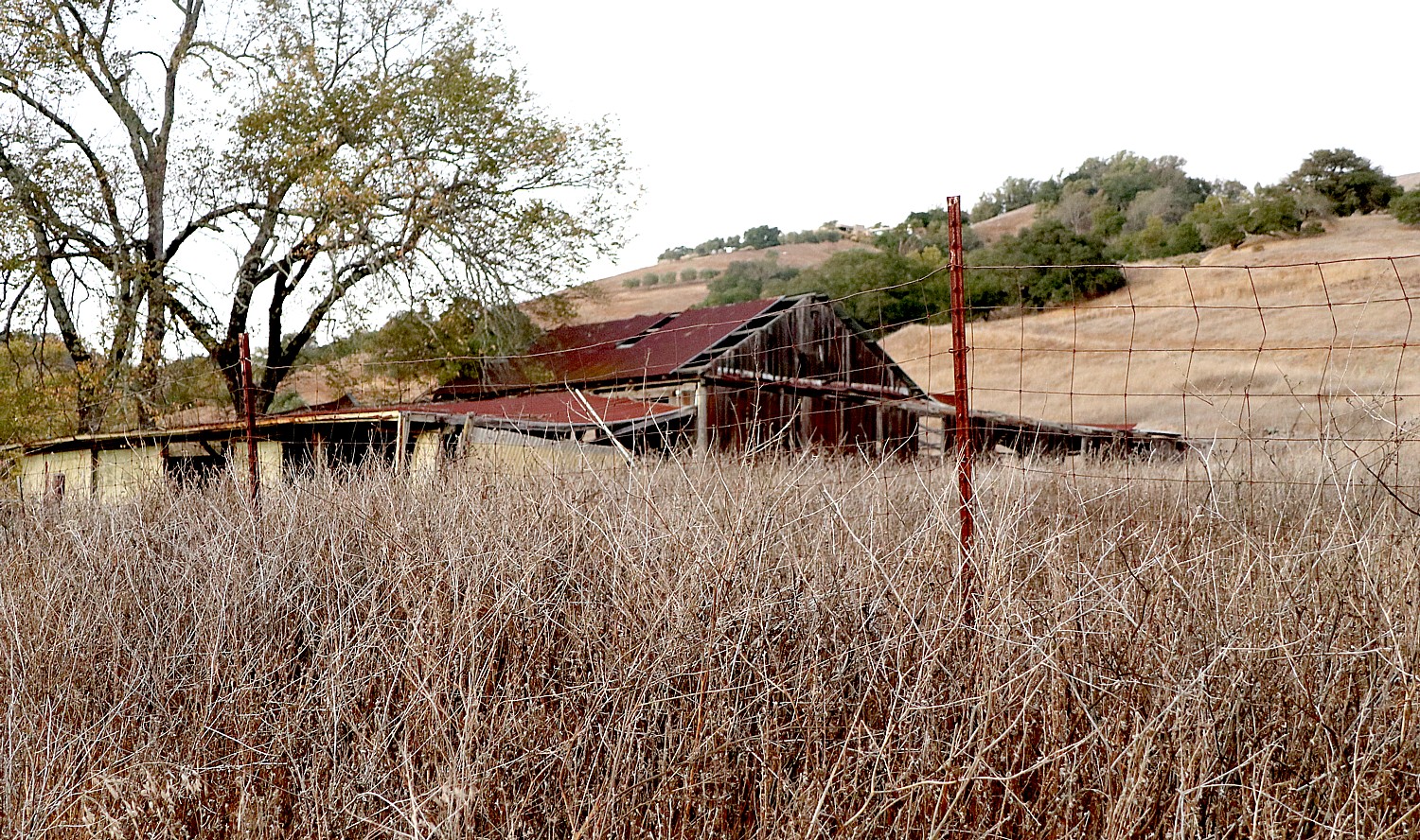
We wander through the ruins of his old stone winery and see a stone barn. You can visit the magnificent ruins of London’s 15,000-square-foot Wolf House mansion, built out of native volcanic rock and unstrapped redwoods, that would have had 26 rooms and nine fireplaces, a library measuring 19 x 40 feet, a two-story high living room, a wine cellar and – befitting a forward looking innovator – electric lighting and built-in vacuum cleaning system. It cost $75,000 ($1.9 million today) to build, but burned to the ground a month before completion.
“Built out of native volcanic rock and unstripped redwoods, it was to be the rustic capstone of Beauty Ranch and architectural avatar Jack London himself. He was devastated over the fire but vowed to rebuild. He would never get the chance,” Brandt writes.
I learn how contemporary London actually was, his writings and outlook remarkably prescient (or else you realize things don’t actually change but only repeat) – he could have been writing today. “He also remained politically engaged,” Brandt writes, quoting London from a 1914 letter: “If, just by wishing I could change America and Americans in one way. I would change the economic organization of America so that true equality of opportunity would obtain; and service, instead of profits, would be the idea, the ideal and the ambition animating every citizen.”
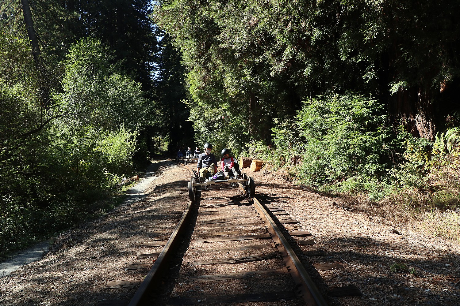
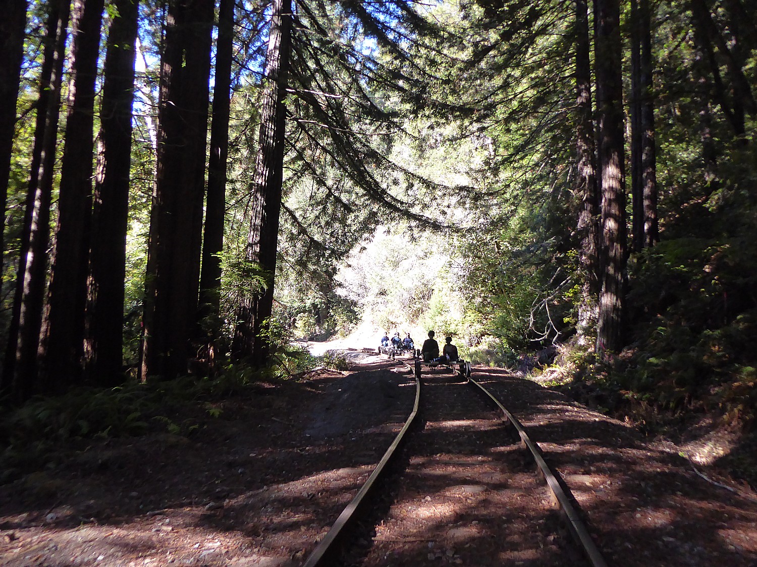
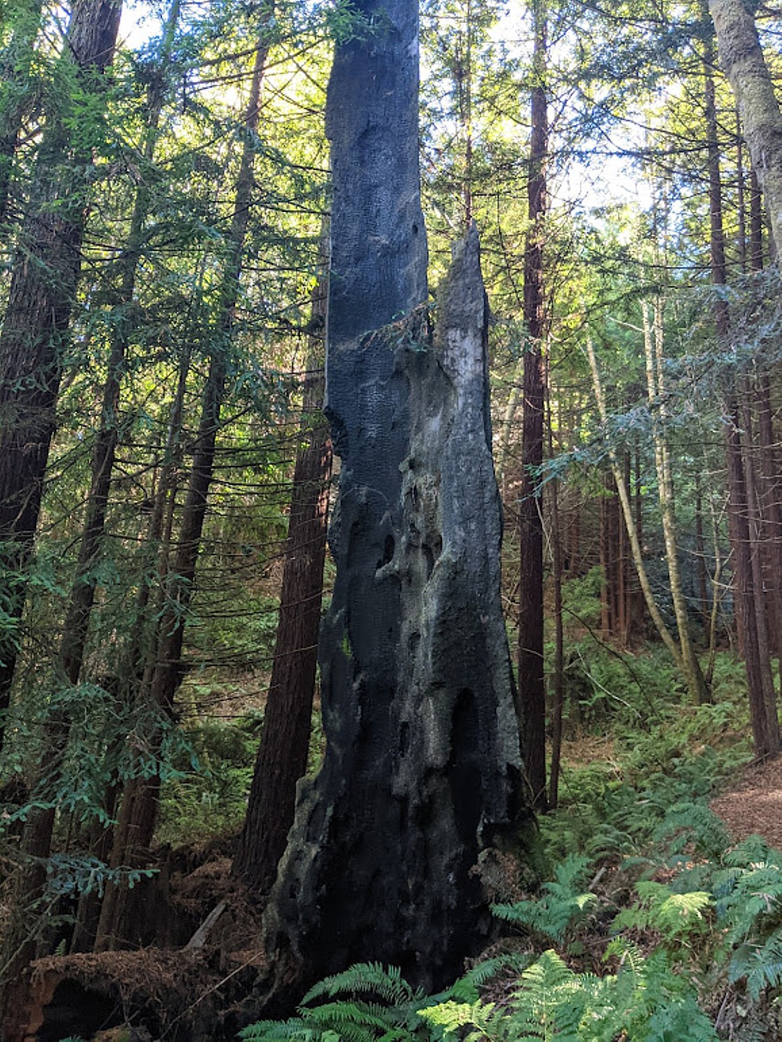
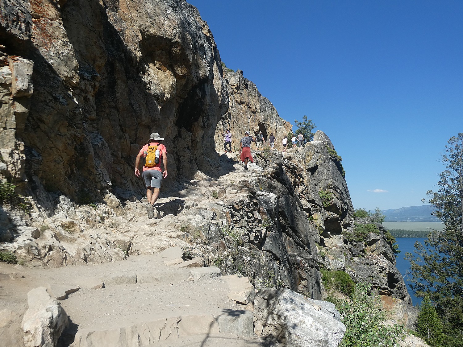
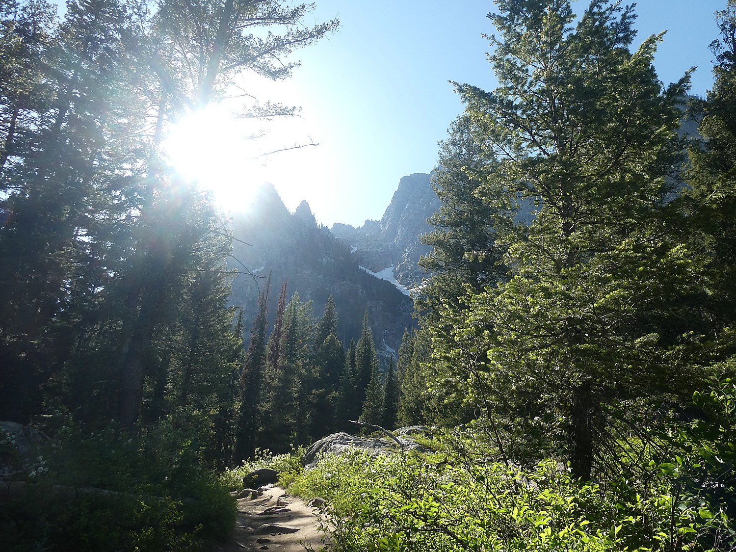
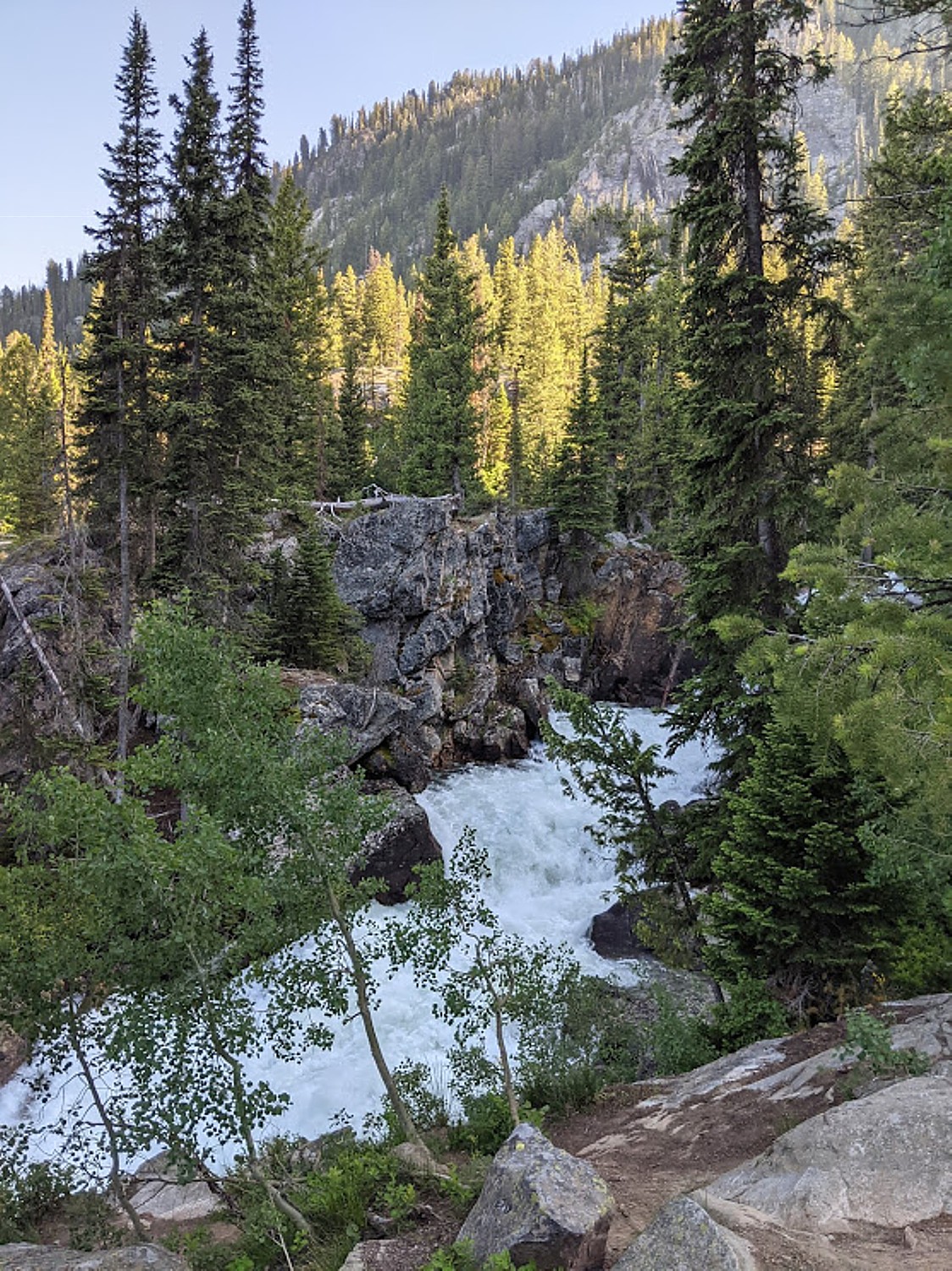
We set out on our hike (there are 20 miles of trails) through lush forest, majestic redwood groves, and meadows (a scenic six-mile trail leads to the top of Sonoma Mountain; you also can explore by horseback or bike), passing by a gorgeous vineyard to get to the trail. (We note the sign warning about rattlesnakes as we enter.)
I must return to visit the museum housed in “The House of Happy Walls” where there are displays of London’s books along with artifacts London and his second wife, Charmian, brought back from their 27-month sailing adventure among unexplored South Seas islands. (Volunteer pianists play on Charmian’s 1901 Steinway grand piano in the cottage where she lived from 1934 until she died in 1955.)
The park is very popular with locals in the know about all there is to do here – including concerts, performances, lectures, piano recitals; year-round there are free docent-guided tours, docent-led Sunday morning hikes, and other park events. Download a park map.
(Jack London State Historic Park, 2400 London Ranch Road, Glen Ellen, CA 95442, 707-938-5216, jacklondonpark.com).
You can pick up picnic supplies, as we did, at the superb Glen Ellen Village Market or croissants, mini-sandwiches and other baked goods at Les Pascals bakery.
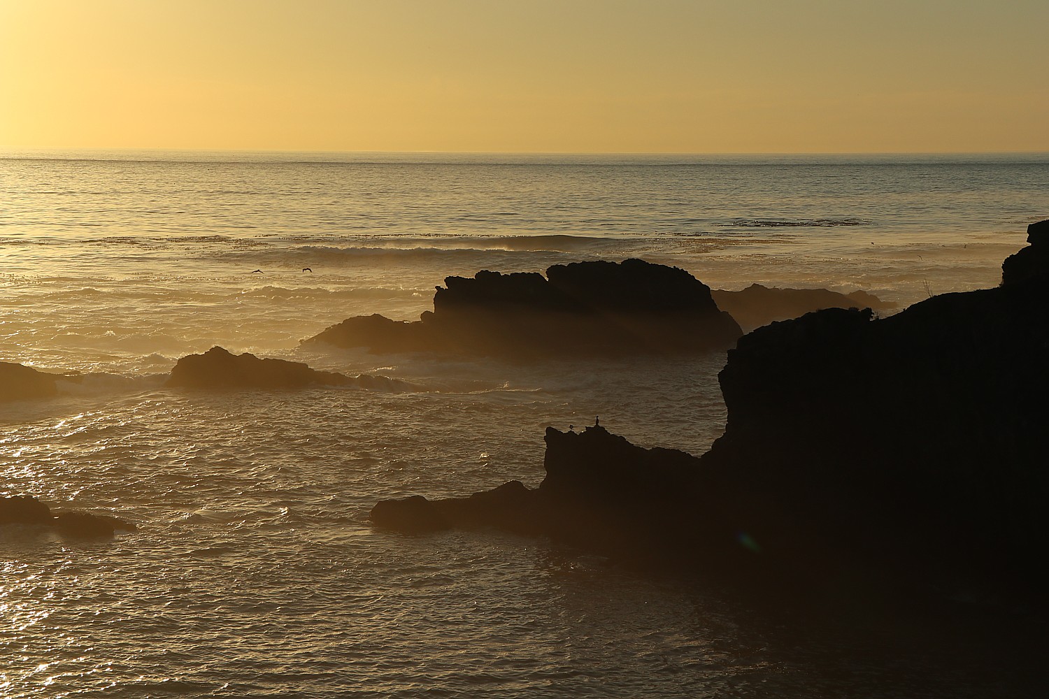
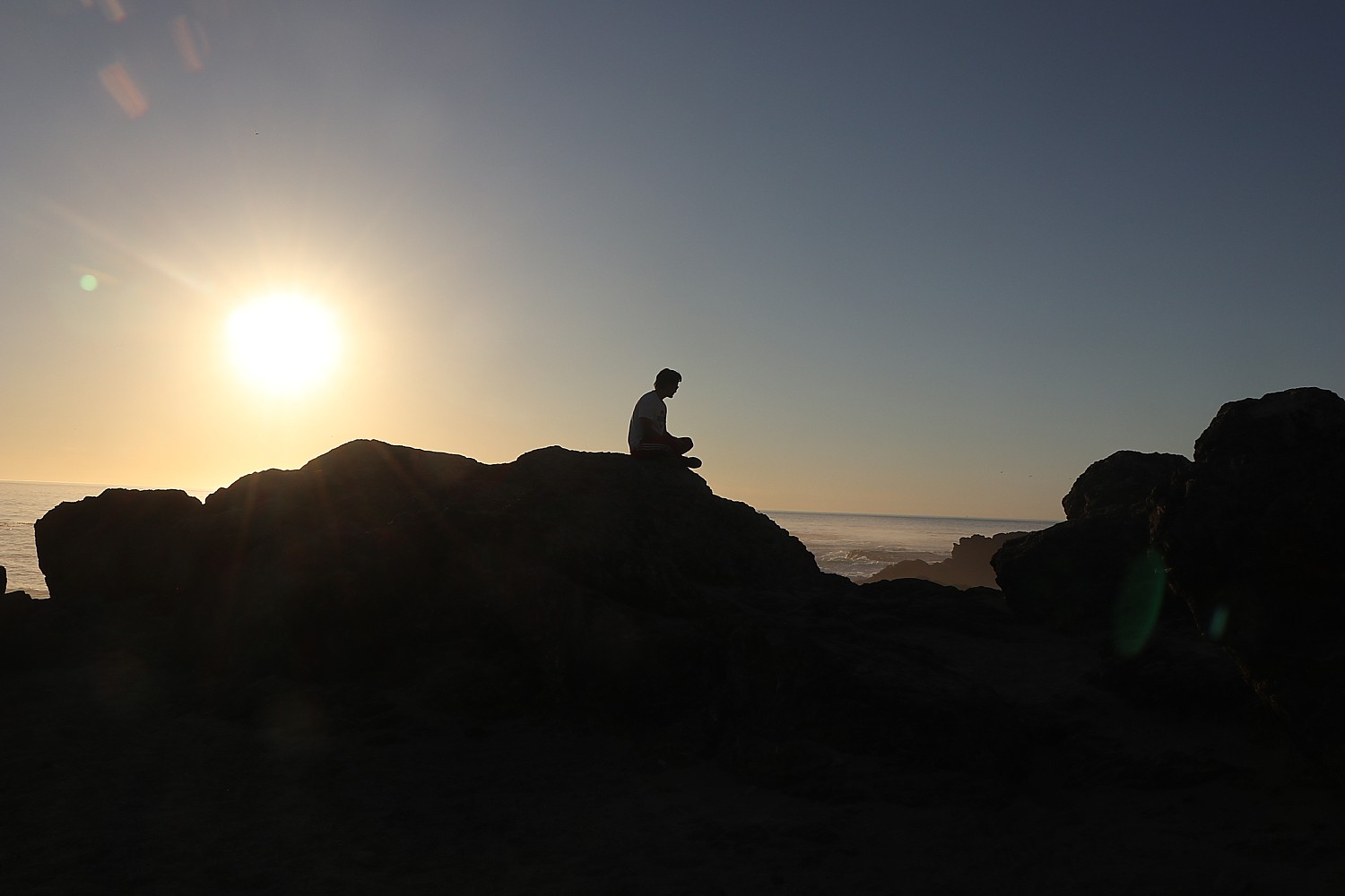
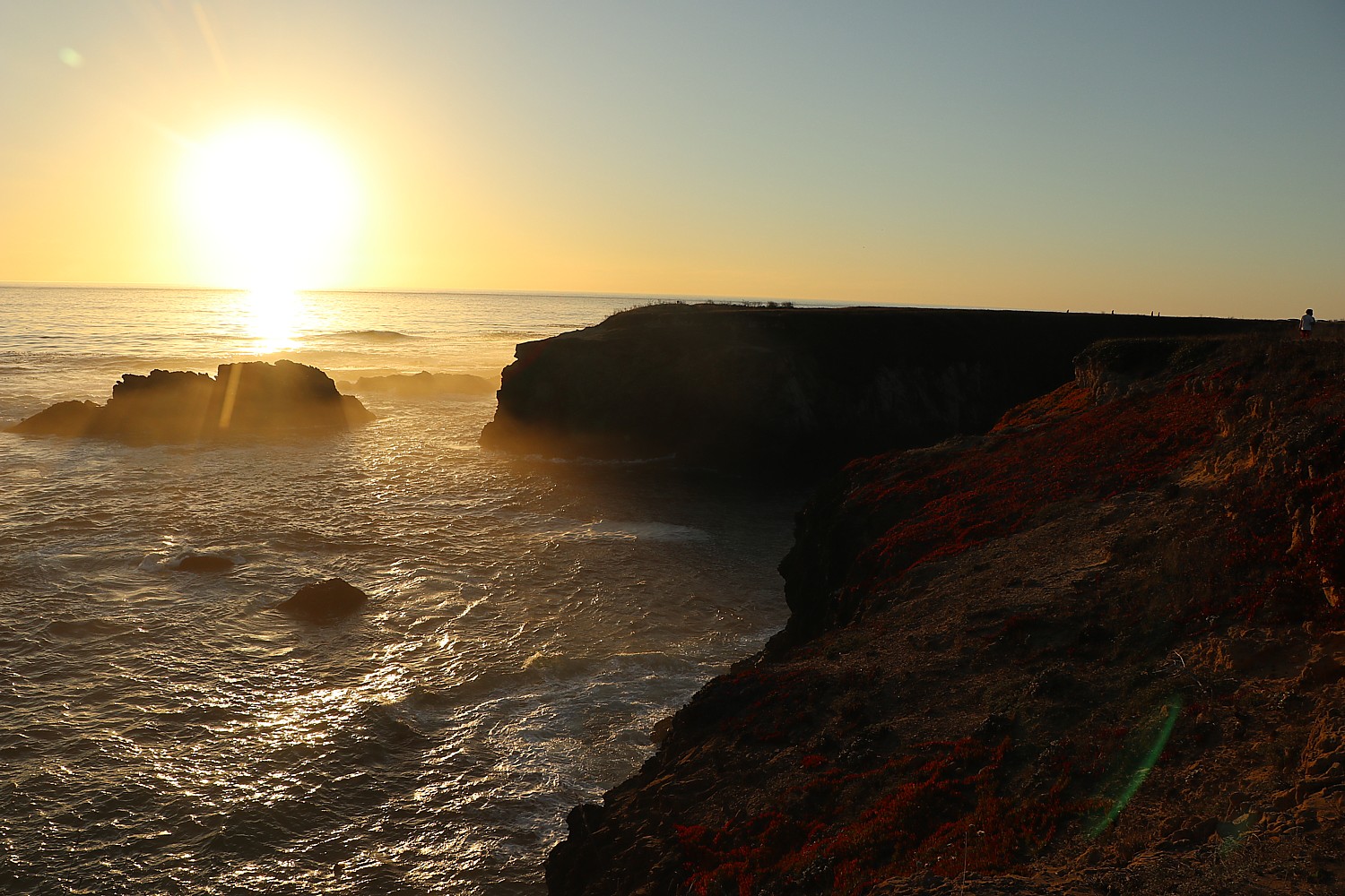
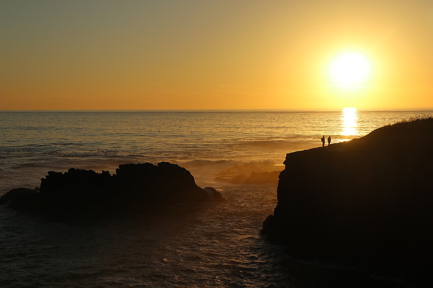
In the late afternoon, we take a walk in the “neighborhood”:

See also: WINE & ART: THE PERFECT PAIRING IN SONOMA, CALIFORNIA (https://goingplacesfarandnear.com/wine-art-the-perfect-pairing-in-sonoma-california/)
For excellent planning materials, visit Sonoma County Tourism, 800-576-6662, info@sonomacounty.com, www.sonomacounty.com, www.sonomacounty.com/things-to-do.
______________________
© 2022 Travel Features Syndicate, a division of Workstyles, Inc. All rights reserved. Visit goingplacesfarandnear.com, www.huffingtonpost.com/author/karen-rubin, and travelwritersmagazine.com/TravelFeaturesSyndicate/. Blogging at goingplacesnearandfar.wordpress.com and moralcompasstravel.info. Send comments or questions to FamTravLtr@aol.com. Tweet @TravelFeatures. ‘Like’ us at facebook.com/NewsPhotoFeatures